


Saalepfad - Circular hike at the Green Belt
Stopnja težavnosti: T1
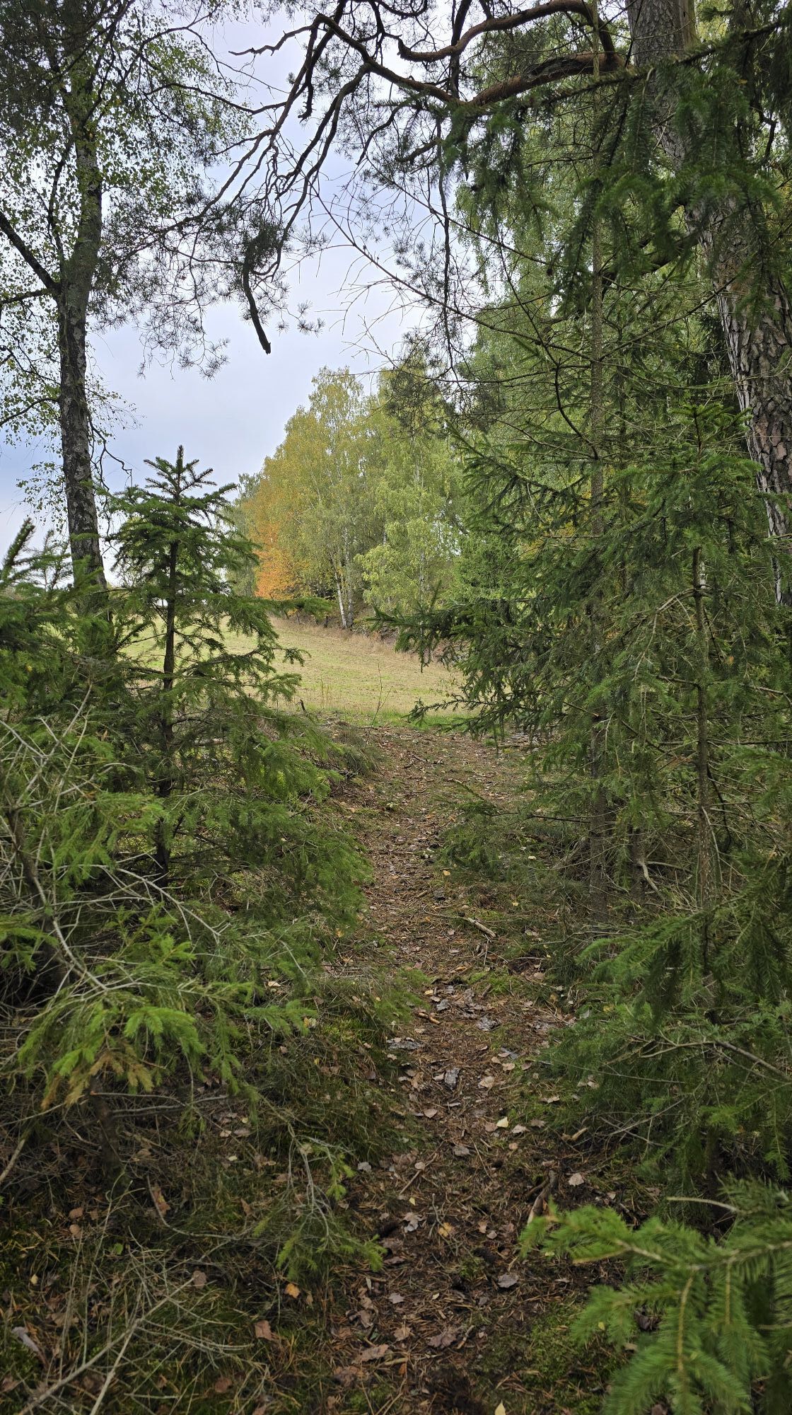
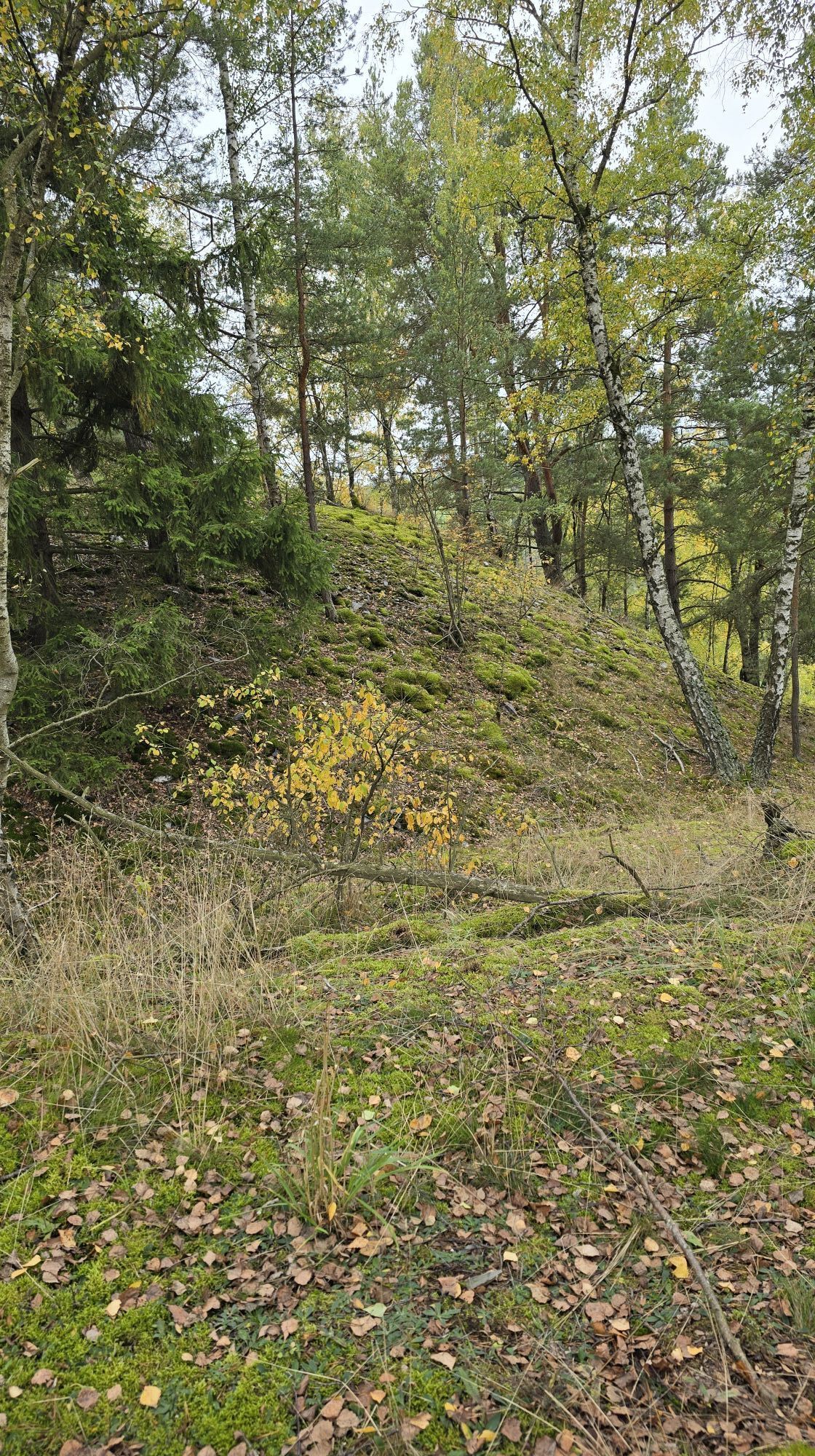
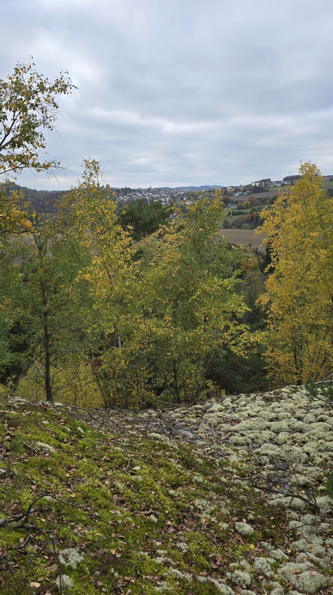
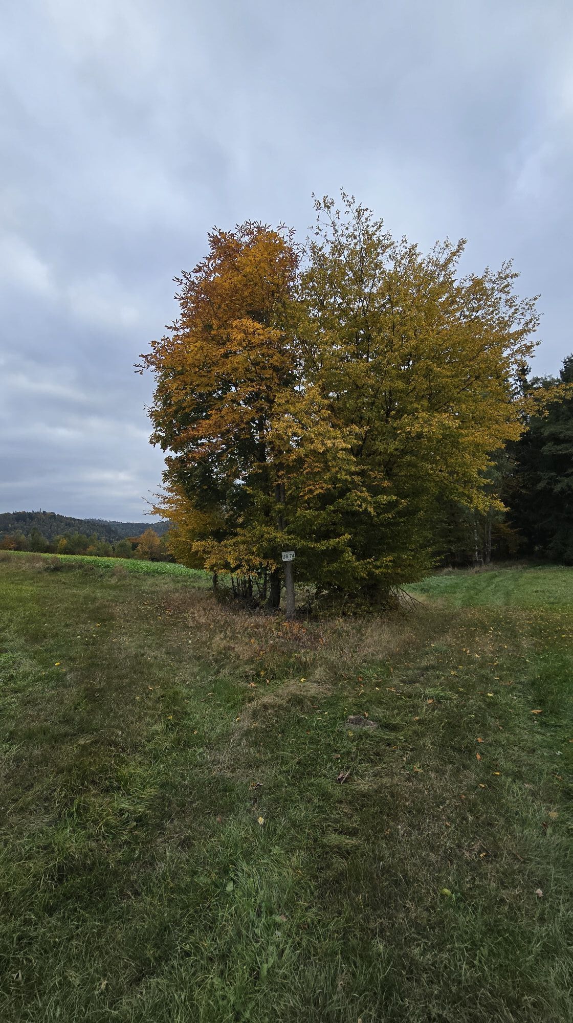
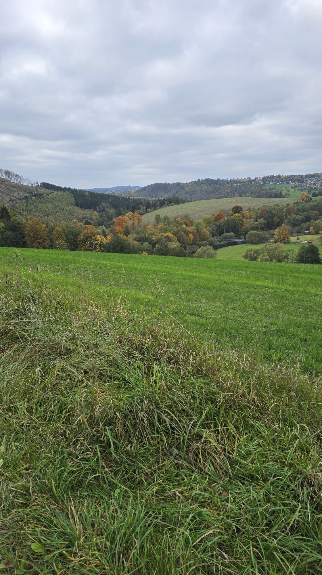
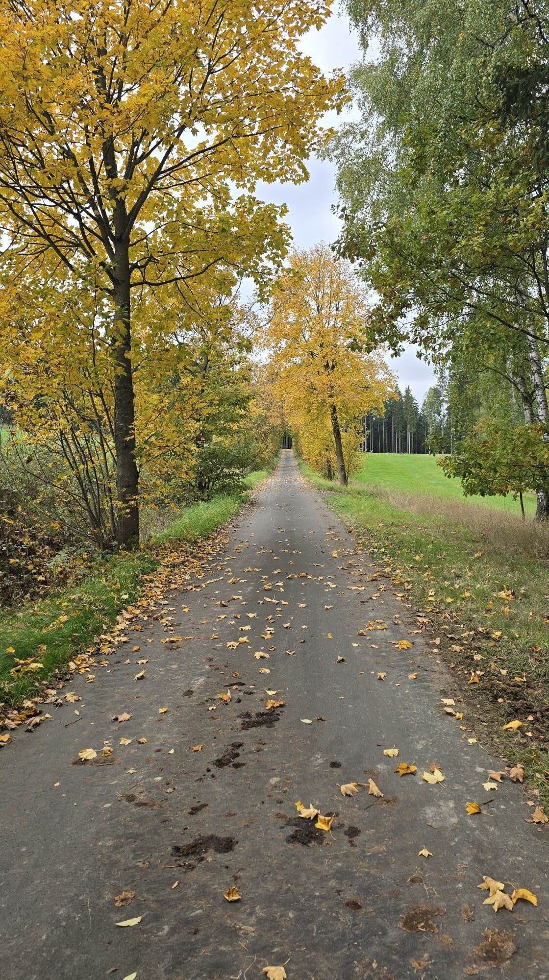
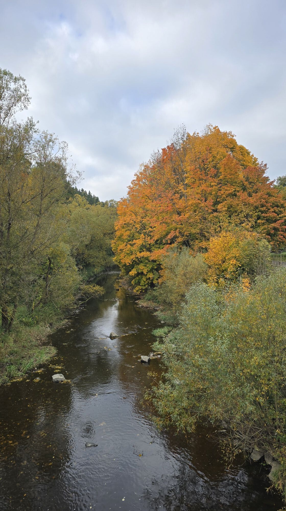
Fotografije naših uporabnikov
The Saalepfad starts at the hiking base in Blankenstein, already widely known beyond Thuringia's borders because of the historic Rennsteig. Northwards along the "Green Belt" to Hirschberg - the Saale was...
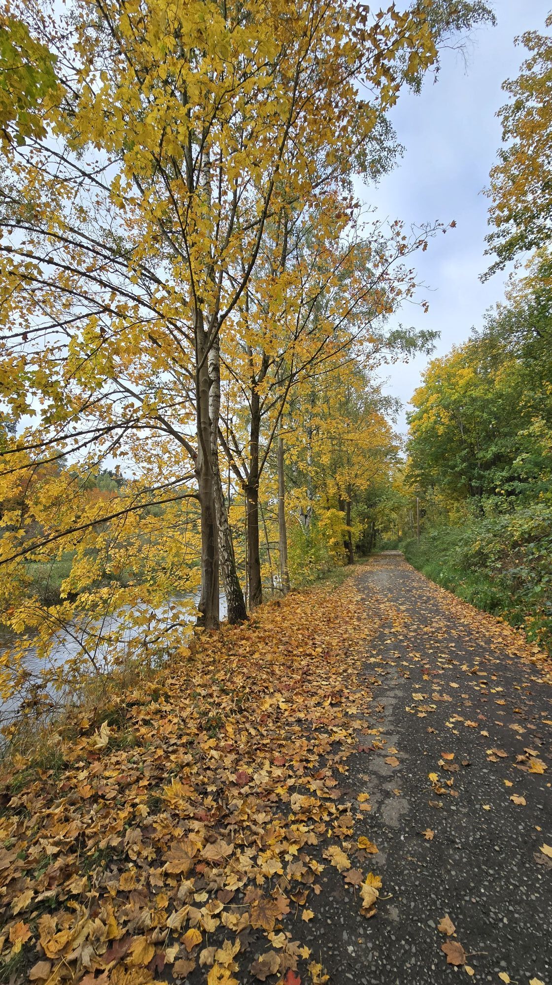
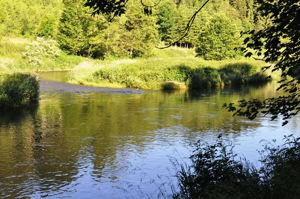
The Saalepfad starts at the hiking base in Blankenstein, already widely known beyond Thuringia's borders because of the historic Rennsteig. Northwards along the "Green Belt" to Hirschberg - the Saale was once a border river here - you find areas of untouched nature and a variety of sights such as mining relics, viewpoints, museums, castles, and churches, a deer park with red and fallow deer, an artesian spring, as well as the impressive "Saale bridge" of the A9 motorway at Rudolphstein, spanning the Saale. The interesting thing here is that you can see two completely contrasting structures side by side. The return route goes south of the Saale via the Franconian Eisenbühl, which impresses its visitors with various artistically designed sculptures in the Eisenpark. Those who want to plan more time for observing, admiring, or relaxing can also hike the route in two stages. In addition, bridges and crossing hiking trails offer nice shortcut options.


Blankenstein - Blankenberg - Pottiga - Sparnberg - Hirschberg - Sachsenvorwerk - Rudolphstein - Eisenbühl - (Kemlas) - Wolfstein - Eichenstein - Tip: Detour to Hirschsprung - Blechschmidtenhammer - Blankenstein
From the starting point Selbitzplatz in Blankenstein, there are two options to reach Blankenberg:
The official path via a narrow trail to Blankenberg, passing left by the church before the inn towards Anger. Or alternatively via the "Franconian Mountain Hiking Trail", upstream along the Saale alongside the horse railway, around the Bastei rock, past the old parchment factory Blankenberg towards Anger.
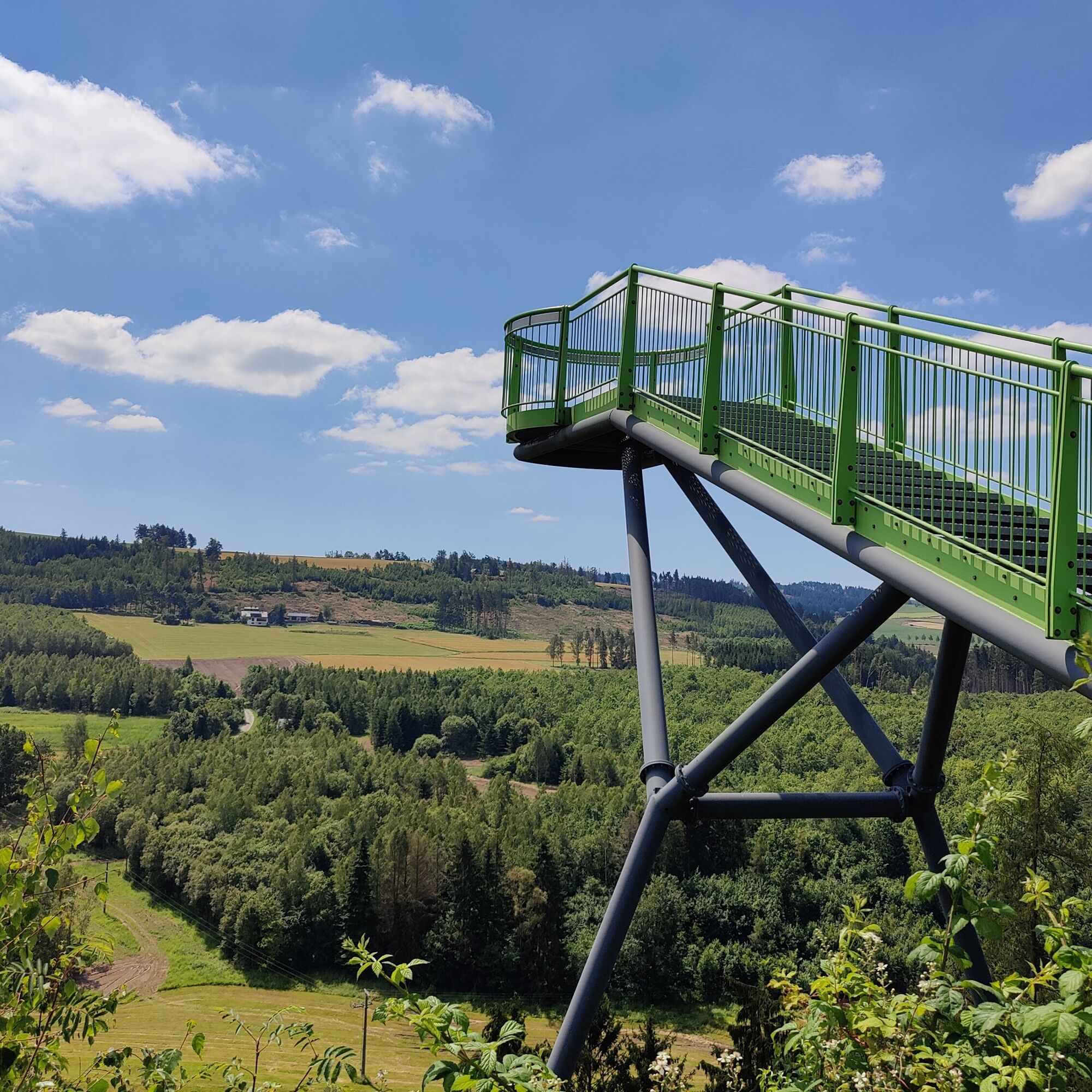
At the forest-field border, a paved path leads to Pottiga, whose Skywalk offers a very good view of the Green Belt.
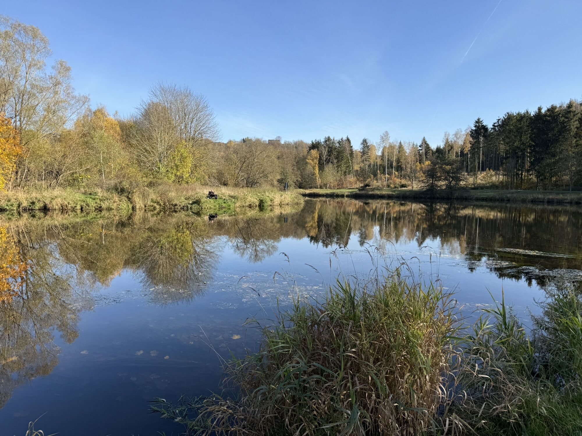
From the viewing platform, there is a path over a bridge to Blumenaumühle in Franconia, but you follow the path to the former Saalbach estate, past the deer park and the artesian Saalbach spring towards Sparnberg.
Also at the height of the Saalbach spring, there is another bridge over the Saale to Rudolphstein with seating to relax.
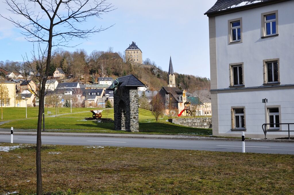
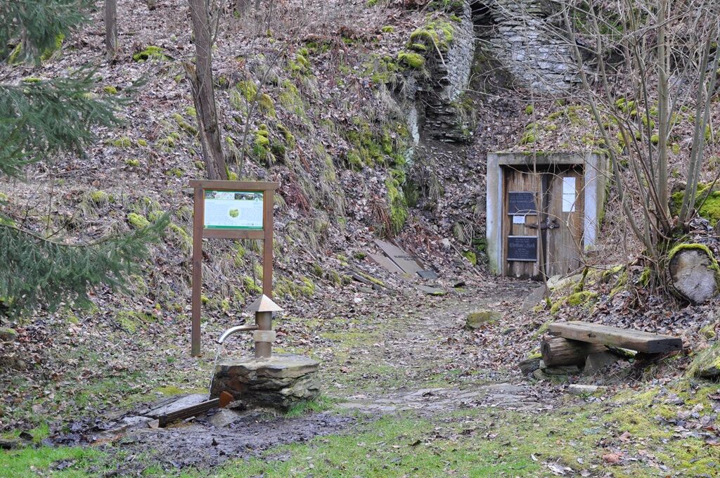
Back again, the path largely follows the Kolonnenweg from here, along the Green Belt via Sparnberg to Hirschberg. Both places have another bridge each. But you should not miss the church and the castle ruins in Sparnberg, as well as the castle and the museum for tanning and city history in Hirschberg.
The circular hiking trail leaves Thuringian territory at Hirschberg and meanders on the Franconian side in large loops over Untertiefengrün, Sachsenvorwerk, Rudolphstein to Eisenbühl with the Eisenpark, consisting of many artistically designed iron sculptures. Admission is free.
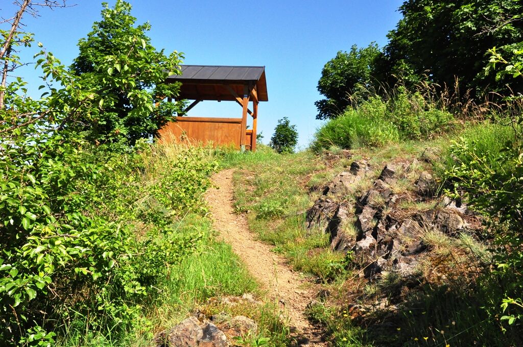
Via Wolfenstein on the way through the Höllental to Blechschmidtenhammer, I have a tip: Make the detour to the viewpoint "Hirschsprung" before finally returning to the starting point in Blankenstein.
Da
sturdy footwear
rainwear
drink supply
small snack (restaurants not always continuously open!)
GPS navigation device or smartphone
first aid kit
accompanying booklet "Saalepfad - Stroll through the Saale valley in the Geopark Schieferland"
The circular trail is marked but uses the marking signs (MZ) of other existing hiking trails! Therefore, pay special attention to the change of marking signs and use the map material from the accompanying booklet "Saalepfad - Stroll through the Saale valley in the Geopark Schieferland":
In Thuringia: from Blankenstein to Hirschberg: Saale-Orla-Weg MZ: red triangle on white background In Franconia: from Untertiefengrün to Rudolphstein: Saale cycling route MZ: cyclist on light blue horizontal bar from Rudolphstein to Eisenbühl: Schiefersteig MZ: US74 from Eisenbühl to junction Issigau: Eisenparkweg MZ: US72 from junction Issigau to Blechschmidtenhammer: Wiedeturmweg MZ: blue "2" from Blechschmidtenhammer to Blankenstein: MZ: R13The Saalepfad is not continuously suitable for strollers and is not designated as a cycling path.
Please always be aware of dangers from logging and storm damage during your hike and observe the typical dangers of the forest. Regularly look around and always follow the instructions of the forestry staff.
Use of the hiking trail and the recreational areas is at your own risk! All liability is excluded!
To avoid slipping hazards, avoid stepping on moss-covered stones, rocks, and roots, and be cautious of dead wood, branches, and fallen trees. This applies especially in areas with narrow paths.
Coming from the A9 motorway, take exit 29 (Bad Lobenstein) and continue on federal road B90 west towards Bad Lobenstein. Follow the B90 route only a few kilometers to the junction Blankenstein/Rosenthal am Rennsteig and turn left. Follow the bypass road L1093 past the villages of Birkenhügel, Pottiga and Blankenberg to Blankenstein. Immediately after the Saale bridge Rosenthal, turn left onto the main road and after a few meters again left into Selbitzplatz street. (Google nav point)
Blankenstein in Rosenthal am Rennsteig can be reached by regional trains of the
Erfurter Bahn line RB32 Saalfeld (Saale) - Blankenstein or with
KomBus, the public transport partner in the districts Saalfeld-Rudolstadt and Saale-Orla-Kreis,
at the
stop Blankenstein, Selbitzplatz
with:
Bus line 620 Naila-Bad Lobenstein-Remptendorf-Ziegenrück and back
Bus line 640 Bad Lobenstein-Neundorf-Titschendorf-Blankenstein and back
Bus line 720 Bad Lobenstein-Blankenstein-Schleiz and back
Tip: Use the special offers of Verkehrsverbund Mittelthüringen (VMT).
For the journey planner of the Deutsche Bahn
Blankenstein
Hiking parking lot Selbitzplatz (Google nav point)
Parking lot "Feldbahn Blankenberg" (Google nav point)
T1
To the Tourism portal of the municipality Rosenthal am Rennsteig
and to the websites of the towns and municipalities:
Municipality Rosenthal am Rennsteig Town Hirschberg Municipality Berg Municipality Issigau Town LichtenbergDining and supply options:
(not continuously and daily open!)
in and around ...
Blankenstein Café and Pension Am Rennsteig (Google nav point) Tel.: +493664223207 Gasthaus Rennsteig (temporarily closed) (Google nav point) Tel.: +493664222230 Guest rooms Straubel (Google nav point) Tel.: +493664222628, Mobile: +491607639112 Holiday apartment Dörk**** (Google nav point) Tel.: +493664223884 Holiday apartment family Damme (Google nav point) Tel.: +493664229949, Mobile: +491725941969 Tourist information with rest area (Google nav point) Tel.: +493664229533 Rest area "hiking base": Apr-Oct daily from 12:00 - 18:00 Mobile: +4916096275635 Pension "Rennsteig" (Google nav point) Tel.: +493664222595 Blankenberg Kriegels Gasthaus (Google nav point) Tel.: +493664223913 Pottiga Hotel and Pension Rüdiger (Google nav point) Tel.: +49366423010 Holiday apartment "Aumühle" (Google nav point) Tel.: +493664229784 Family Ortlam (Google nav point) Tel.: +4936642291082, Mobile: +491721420166 Hirschberg Inn "Marktstube" (Google nav point) Tel.: +493664422006 Inn & Pension "An der Lohmühle" (Google nav point) Tel.: +493664421424 Marché Mövenpick - Restaurant Hirschberg (A9) (Google nav point) Tel.: +49366443030 Rudolphstein BAR Frankenwald West (Bridge rest stop) (Google nav point) Tel.: +4992939400 Meister BÄR Hotel Frankenwald Saaletal (Google nav point) Tel.: +4992939410 Holiday apartment Weitermann (Google nav point) Tel.: +4992931251, Mobile: +4915906364060 Eisenbühl Inn zum Gupfen (Google nav point) Tel.: +499293389 Holiday apartment "Am Eisenbühl" (Google nav point) available only online Eichenstein Inn Hirschsprung (Google nav point) Tel.: +4992881732 Blechschmidtenhammer Inn and Pension Blechschmiedenhammer (Google nav point) Tel.: +499288487 Pension Friedrich-Wilhelm-Stollen (Google nav point) Tel.: +499288216It is worth visiting:
the Skywalk in Pottiga the Museum for Tanning and City History in Hirschberg the castle in Hirschberg the sculptures in the Eisenpark in Eisenbühl detour to the viewpoint "Hirschsprung"
Priljubljeni izleti v okolici
-
4.0
Höllental über Hirschsprung und unten wieder zurück
srednjaPohodništvo 9.61 km -
4.5
Hirschberg Primeval Forest Trail - Thuringian Primeval Forest Trails
svetlobaPohodništvo 2.84 km -
5.0
Circular route - Schönblickweg - Harra
srednjaPohodništvo 7.80 km -
Hike - Rennsteig - Stage 8 - From Brennersgrün to Blankenstein
srednjaPohodništvo 20.8 km -
Roßkunst Geopath - Harra
srednjaPohodništvo 6.23 km -
4.0
Rund um die BleilochTalsperre - Saalburg Beach und zurück
srednjaE-MTB 20.1 km -
Circular hiking trail - Mushroom experience trail Gräfenwarth - Thuringia
srednjaTematska pot 5.48 km -
Venzka - Hirschberg - Saalesteg - Venzka
srednjaPohodništvo 8.24 km -
4.0
Von Wurzbach zum Häslich
svetlobaPohodništvo 6.70 km -
Von Saaldorf zum Marienstein
svetlobaPohodništvo 9.41 km

Pohodništvo in sledenje


Ne zamudite ponudb in navdiha za naslednje počitnice
Vaš e-poštni naslov je bil dodan na poštni seznam.