







The Sormitz route - "On the way with the dipper"

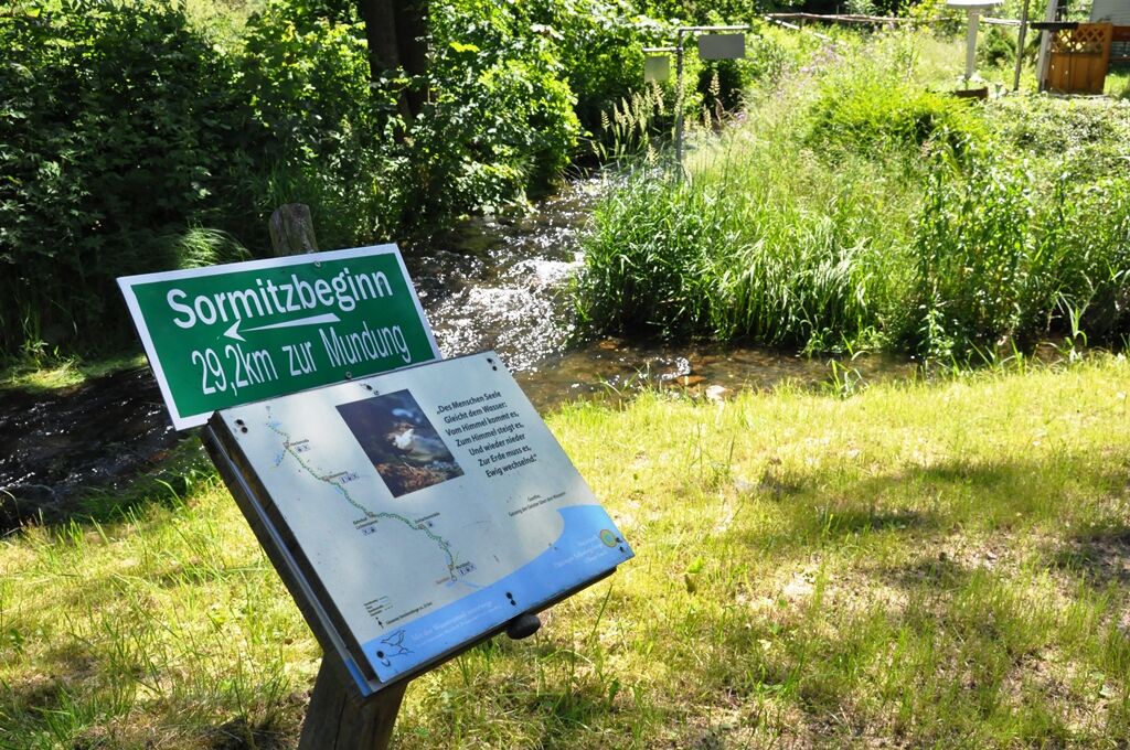
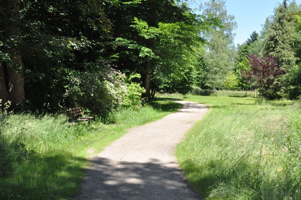
The Sormitz route begins in the park of the city of Wurzbach at the confluence of Langwasser and Oßlabach. From here it goes over the market, past the station and above the technical monument Heinrichshütte...
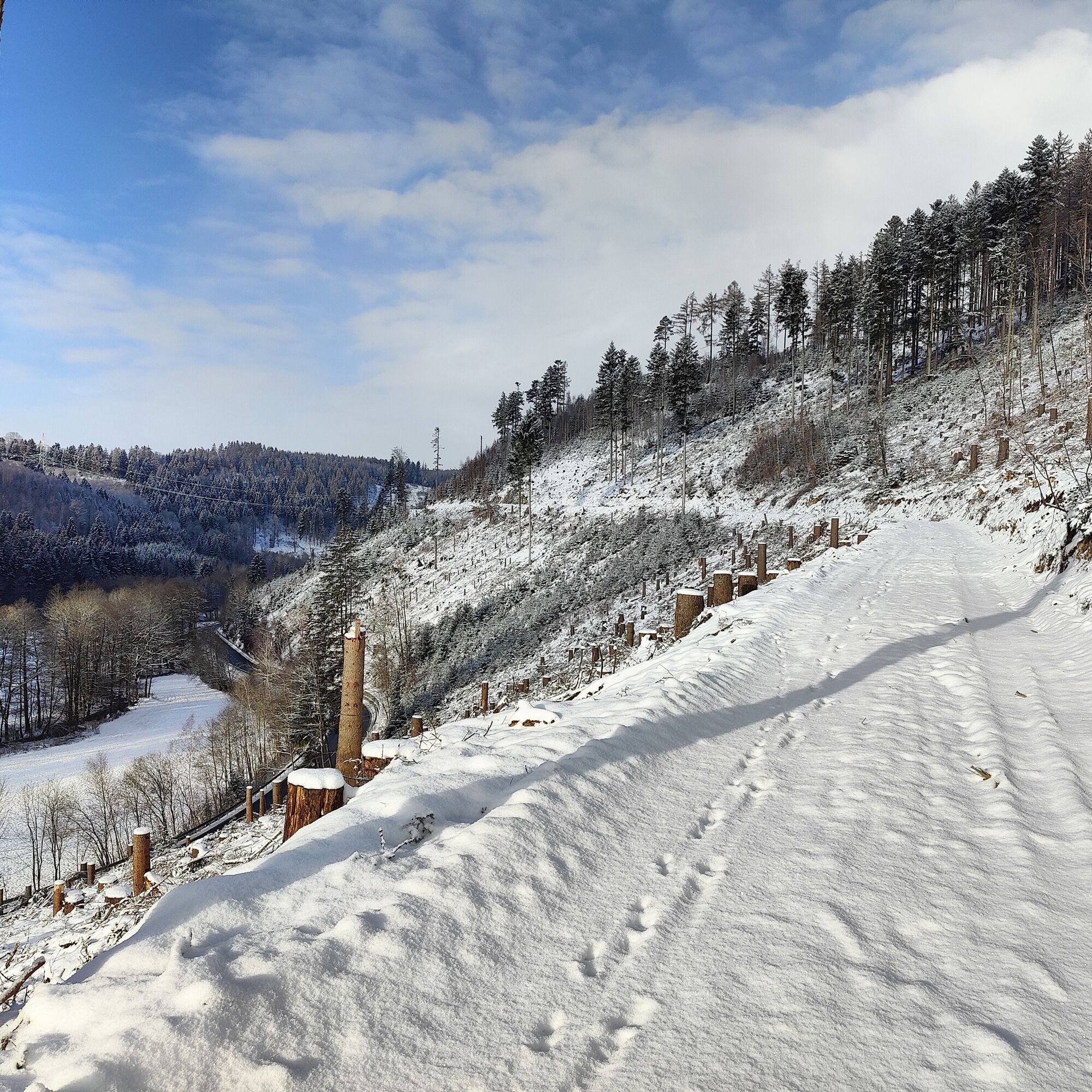
The Sormitz route begins in the park of the city of Wurzbach at the confluence of Langwasser and Oßlabach. From here it goes over the market, past the station and above the technical monument Heinrichshütte to the Charlottenfelsen viewpoint. Down the path leads you to the Klettigshammmer district with its recommended inn. Then you pass the Klettigsmühle and follow the hillside path on the right side of the valley to the Zschachenmühle.
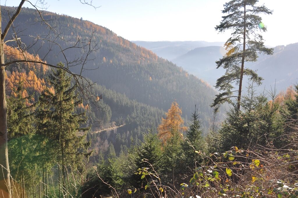
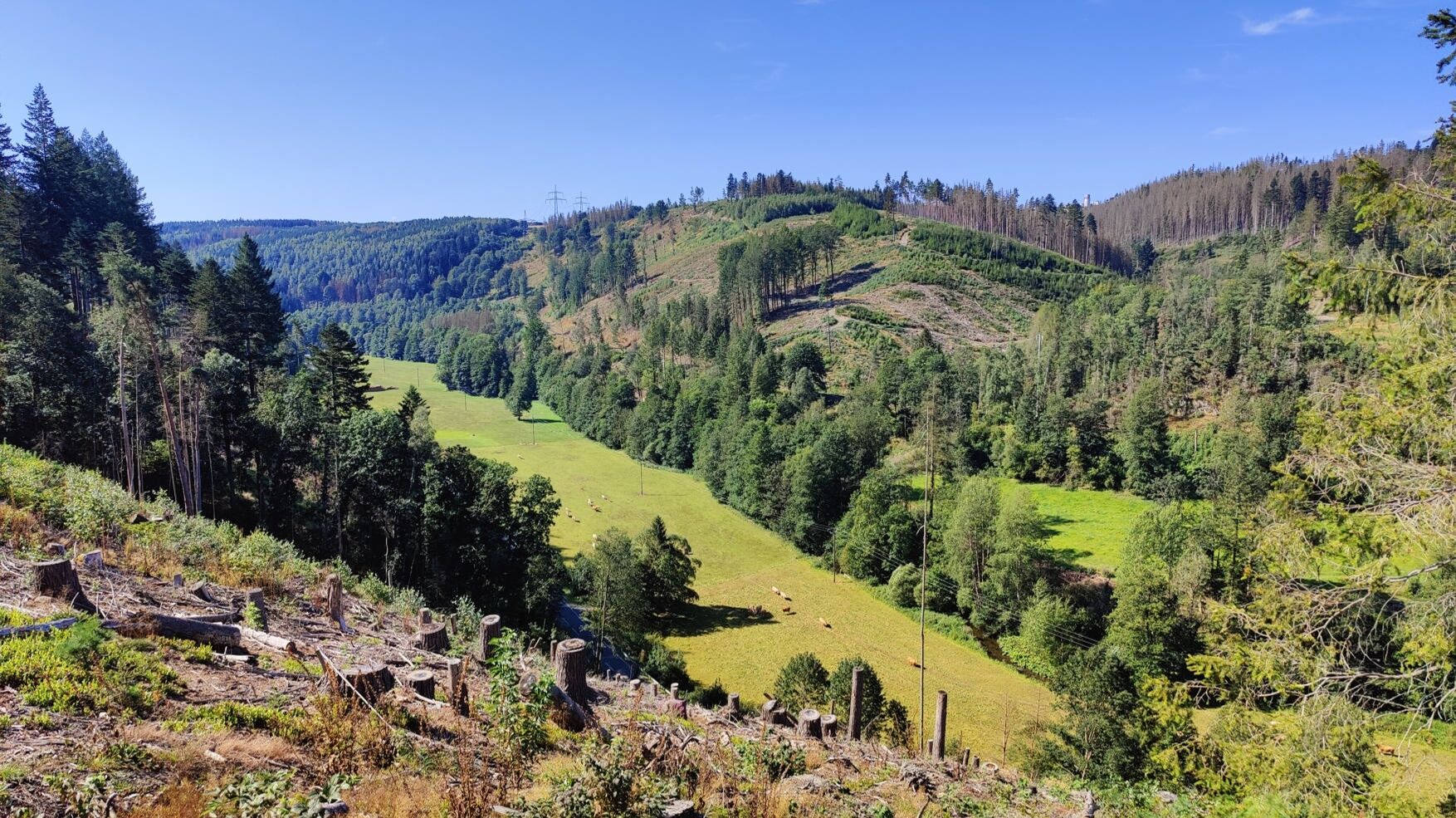
Here you cross the Sormitz and now reach the left side of the valley above railway and river. Beautiful views open up again and again. At the Neumühle district, railway and Sormitz are crossed again.
Now you may hike closer to the riverbank; you pass interesting geological exposures, pass the Grubersmühle, and soon reach the Lichtentanne station.
It's only a few kilometers more on the left side of the valley until you reach the nature experience area "NatureParkWorlds" and the "Nature Park House" at the entrance to Leutenberg.
The picturesque town of Leutenberg offers a good opportunity to refresh with a café and restaurant. Afterwards, you easily handle the last kilometers to Hockeroda.
The total length of the hiking trail is 26 km. The Sormitztalbahn (route Saalfeld-Blankenstein) accompanies you during your hike and brings you back every 2 hours from Hockeroda, Leutenberg, and Lichtentanne to your starting point.



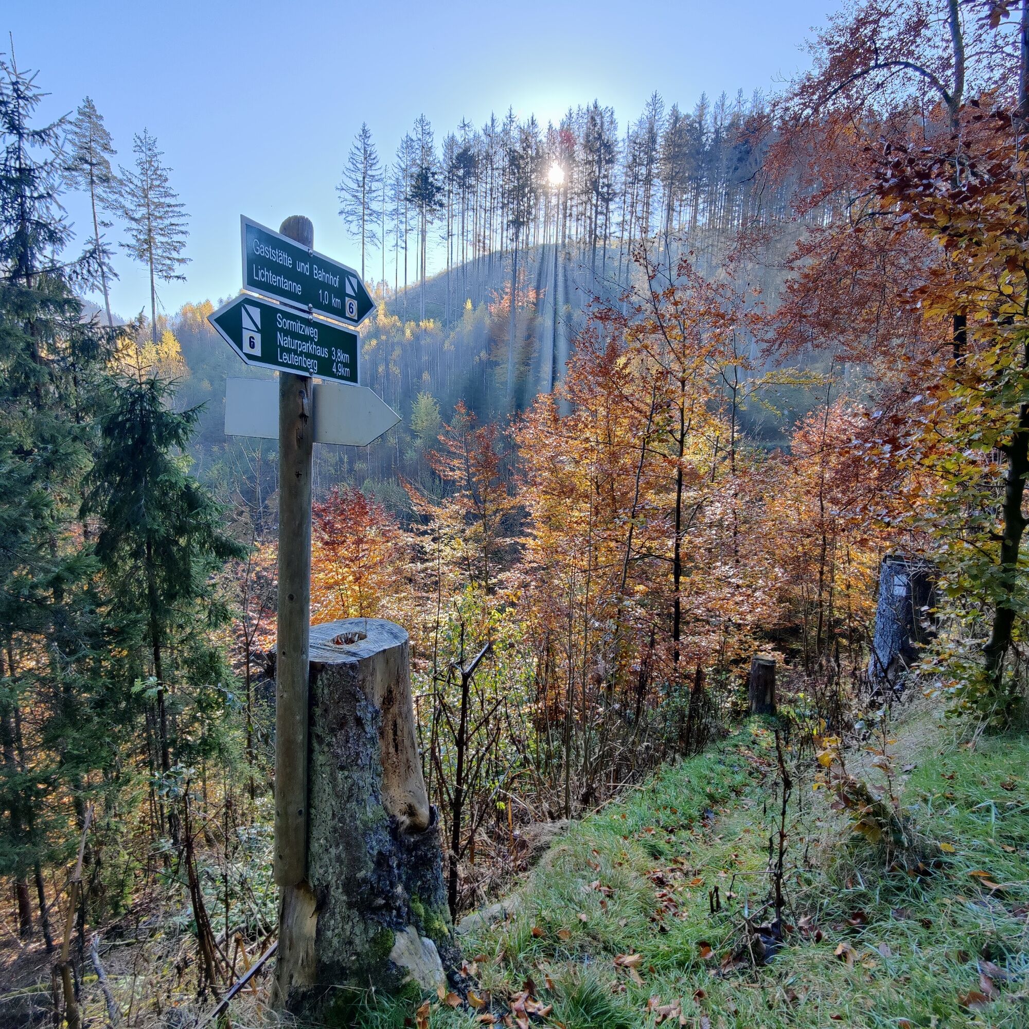
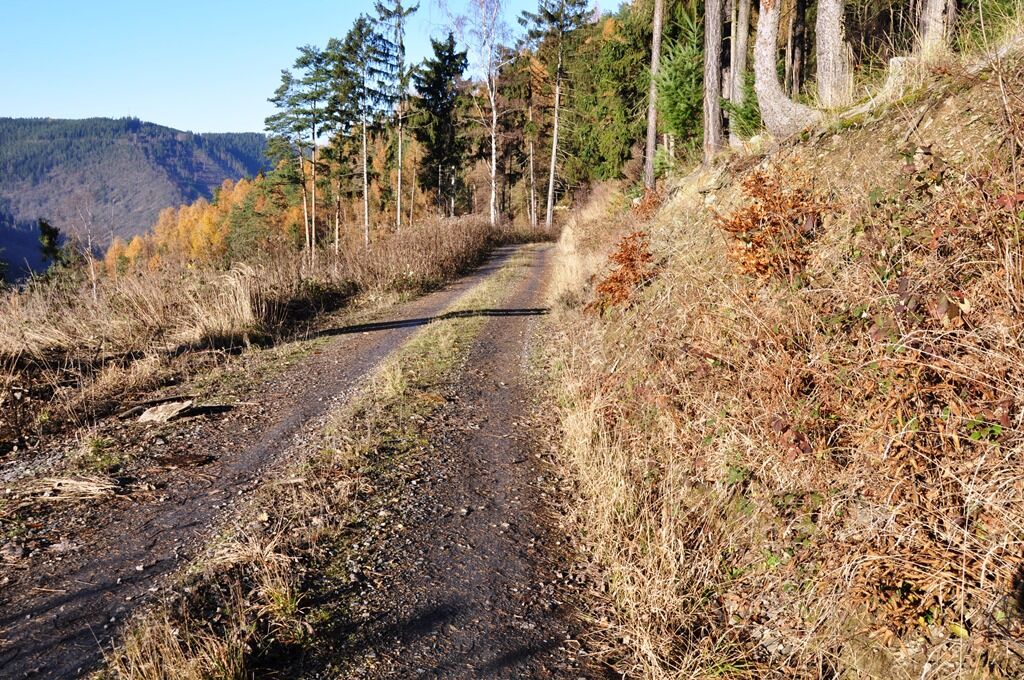
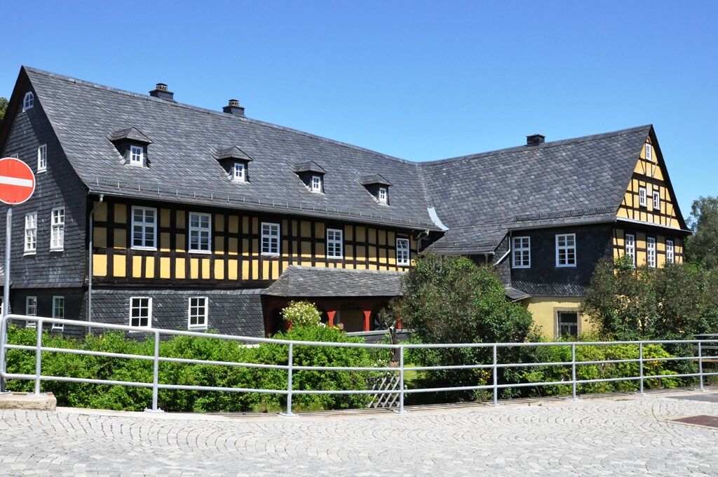




Park in Wurzbach - Wurzbach Market - Am Bahnhof Street - Charlottenfels Viewpoint - Klettigshammer - Klettigsmühle - Zschachenmühle - Heberndorfer Mühle - Grubersmühle - Lichtentanne Station - "Blue Luck" - Nature Park House with the NatureParkWorlds - Leutenberg - Leutenberg Market - Löhmberg - Hubertusklause and "Cold Spring" - Pfaffengraben - Schliefert - Hockeroda Hammer
The trail marking is a green diagonal stripe on a white background.
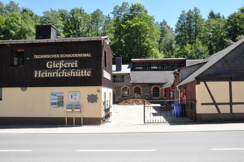
The Sormitz route begins at the southern end of the Wurzbach park at the confluence of Langwasser and Oßlabach. From here, the Sormitz will be your constant companion. Through the park heading north, you reach the market, which stands out especially because of its "Colorful Tower". The Kusthaus Müller operates a gallery directly next to it. You cross the market diagonally and head towards the station. Just before it, you turn right up a narrow path. Above the station, after a few hundred meters, you can see down in the valley the Technical monument foundry Heinrichshütte, which you can reach via a path off the railway crossing. This small detour is especially recommended. However, please inquire beforehand about the guided tour dates.
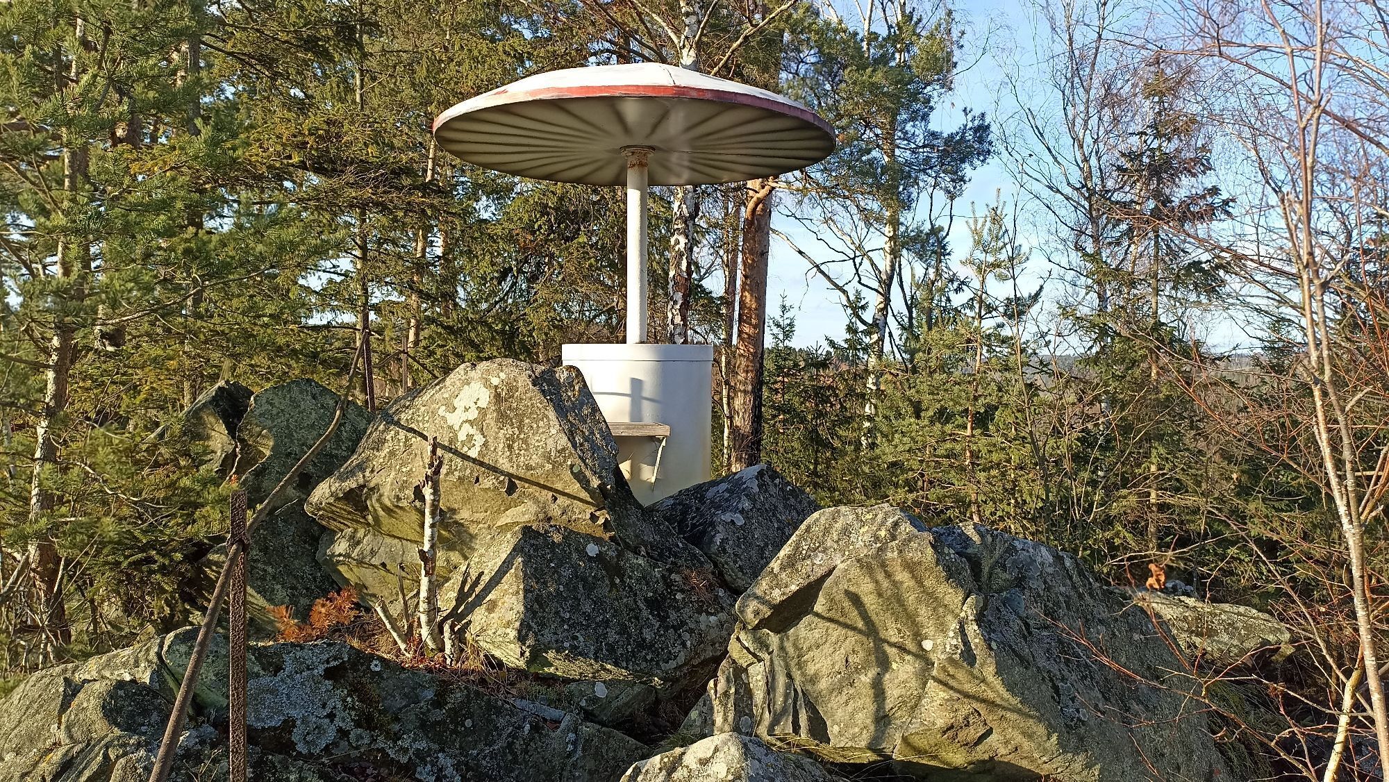
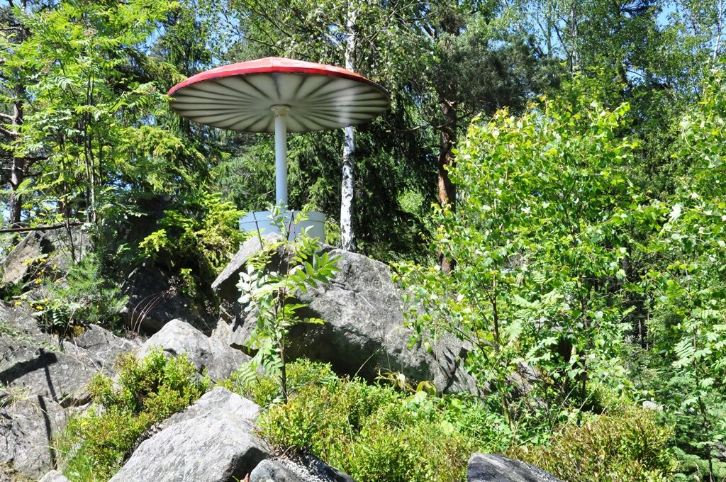
Straight ahead, the path continues to the Charlottenfels viewpoint, whose mushroom-shaped high seat can be reached via a short side path on the left. Back again and downhill, the path leads to Klettigshammer with the inn "Zum Sormitztal". On your right, you follow the B90 on the sidewalk to the town exit and further to the Klettigsmühle. Here turn right and follow a short stretch of road towards Thierbach. A signpost at the foot of the mountain points sharply left to a forest path uphill. Follow this hillside path on the right side of the valley to the Zschachenmühle.
Once in Zschachenmühle, a visit to the stone shop is worthwhile. At the town exit, you cross the Sormitz and now reach the left side of the valley above the river and railway. There are always beautiful views. At the Neumühle district, railway and Sormitz are crossed again. Now you may hike closer to the riverbank. You pass interesting geological exposures, pass the Grubersmühle, and soon reach the Lichtentanne station.
Now it's just a few kilometers on the left side of the valley until you reach the NatureParkWorlds and the Nature Park House at the entrance to Leutenberg. Here, various interactive stations and an exhibition invite you to learn more about the nature park. Through the historic old town of Leutenberg, which invites you to linger and take a break, you proceed strengthened on the right side of the valley with a steep ascent over the Löhmberg.
Along the way, you pass the Hubertusklause with the cold spring until you reach Schliefert, enjoying the magnificent views along the way.
Now it goes downhill to Hockeroda, our tour destination.
The Sormitztalbahn (route Saalfeld – Blankenstein) brings you back to your starting point.
Tip: With 4 stations along the route, shorter stages can also be planned.
Da
sturdy footwear
rainwear
GPS navigation device or smartphone
drink reserve
small snack (restaurants are not always continuously open!)
first aid kit
The Sormitz route is not continuously suitable for strollers due to stairs and steep ascents and is also not designated as a bike path.
Please always be aware of dangers from logging and storm damage during your hike. Regularly look up above you.
Always follow the instructions of the forest personnel.
Avoid stepping on moss-covered stones, rocks, and roots due to the risk of slipping and watch out for dead wood, branches, and fallen trees. This applies especially in areas of narrow paths.
Coming from the A9 motorway, exit 29 (Bad Lobenstein) and continue on federal road B90 west toward Bad Lobenstein. Follow the B90 route to Wurzbach.
You can also reach other entry points via the B90 - ideally near stations.
Other stations are located in Lichtentanne, Leutenberg, or Hockeroda - ideal for stage hiking.
Wurzbach can be reached by the regional trains of the Erfurter Bahn line RB32 Saalfeld (Saale) - Blankenstein or
by KomBus, the local transport partner in the districts of Saalfeld-Rudolstadt and Saale-Orla-Kreis:
Bus line 610 Schleiz - Bad Lobenstein - Lehesten and back
Bus line 612 Weitisberga - Wurzbach - Titschendorf and back
Tip: Stage hiking!
Further stops at 2-hour intervals are the stations in Lichtentanne, Leutenberg, and Hockeroda.
Along the route, 4 stations are distributed so that the hike can also be done in several small stages. You will always return to your starting point.
Use the special offers from Verkehrsverbund Mittelthüringen (VMT).
To the travel planner of the German Rail
From Hockeroda, if you want to do the hike uphill in the opposite direction,
you can also reach it by the Erfurter Bahn line RB32 Saalfeld (Saale) - Blankenstein or
Bus line 547 Saalfeld - Probstzella - Gräfenthal and back
Bus line 554 Saalfeld - Leutenberg - Schweinbach/Löhma and back
Public parking lot at the market in Wurzbach (Google Nav Point)
Market square of Leutenberg (Google Nav Point)
For stage hiking at the stations in:
Lichtentanne (Google Nav Point)
Leutenberg (Google Nav Point)
Hockeroda (Google Nav Point)
To the websites of the participating cities and municipalities:
the city of Wurzbach the city of Leutenberg the unified municipality Kaulsdorf the municipality RemptendorfFurther dining and supply options / accommodation:
(not continuously and daily open!)
in and around ...
Wurzbach Thüringer Hof inn in Wurzbach (Google Nav Point) Tel.: +493665222368 Frankenwald Rennsteig Pension in Heinrichsort (Google Nav Point) Tel.: +4936652355855 Trattoria & Pizzeria La Famiglia in Grumbach (Google Nav Point) Gaststätte zum Frankenwald in Grumbach (Google Nav Point) Walther bakery in Wurzbach (Google Nav Point) Tel.: +4936652352800 Konya Döner - Pizza - House in Wurzbach (Google Nav Point) Shopping market with butcher’s branch in Wurzbach (Google Nav Point) Inn & Pension "Zum Sormitztal" family Schnappauf in Klettigshammer (Google Nav Point) Leutenberg Hotel & Inn Garküche in Leutenberg (Google Nav Point) Inn Bavarian Bierstube in Leutenberg (Google Nav Point) Schwarzburger Hof in Leutenberg (Google Nav Point) Butcher Siegfried Müller in Leutenberg (Google Nav Point) Tel.: +493673422356 (weekday lunch specials) Agrar Butcher Dorfilm in Leutenberg (Google Nav Point) (weekday lunch specials) Ronny Hunger Bakery in Leutenberg (Google Nav Point) Netto Marken-Discount in Leutenberg (Google Nav Point) Guder Bakery in Leutenberg (Google Nav Point) Tel.: +493673422293 Top Melange Ice Cream Café in Leutenberg (Google Nav Point) Snack at OIL! gas station in Leutenberg (Google Nav Point) Tel.: +493673423250 Hockeroda Inn "Zum Sormitztal" in Hockeroda (Google Nav Point) Tel.: +493673321549"Colorful Tower" at the market in Wurzbach
Kusthaus Müller at the market in Wurzbach
Demonstration casting at the Technical monument Foundry Heinrichshütte in Wurzbach
Charlottenfels viewpoint with a view of the railway viaduct between Wurzbach and Klettigshammer
Historic old town in Leutenberg
"NatureParkWorlds" and exhibition at the "Nature Park House" in Leutenberg
Priljubljeni izleti v okolici
-
4.9
Circular hiking trail - H5 "The Water Route" - Thuringian Forest
srednjaPohodništvo 6.58 km -
5.0
Circular route around the "Slate Lake" - Lehesten - Thuringian Forest
svetlobaPohodništvo 2.99 km -
Circular route - Otter Bay and Devil's Pulpit - Ziegenrück
srednjaPohodništvo 16.8 km -
4.7
Circular hiking route - H3 "The Bird's Eye View" - Thuringian Forest
srednjaPohodništvo 8.78 km -
4.5
Von Ziegenrück zur Fernsicht
srednjaPohodništvo 5.50 km -
5.0
Hohenwarte Reservoir Way - Section 2 - Camping Wilhelmsdorf Portenschmiede → Ziegenrück
težkoPohodništvo 18.2 km -
4.0
Circular route - "Wichtelweg" - Wilhelmsdorf
svetlobaTematska pot 2 km -
5.0
Urwaldpfad Leutenberg - Thuringian Urwaldpfade
srednjaPohodništvo 6.82 km -
4.0
Hohenwarte Reservoir Trail - Stage 3 - Ziegenrück → Drognitz
težkoPohodništvo 14.1 km -
Hike - Rennsteig - Stage 8 - From Brennersgrün to Blankenstein
srednjaPohodništvo 20.8 km
Pohodništvo in sledenje


Ne zamudite ponudb in navdiha za naslednje počitnice
Vaš e-poštni naslov je bil dodan na poštni seznam.





