







Circular hiking route - "Moosburg and Moosbachtal" - Steinbach-Hallenberg - Thuringian Forest

Dreamlike beautiful forest paths, a place where robber knights once dwelled, a valley of impressive beauty and a crystal-clear mountain stream await you on this hike. You start your route at the Köpfchen...
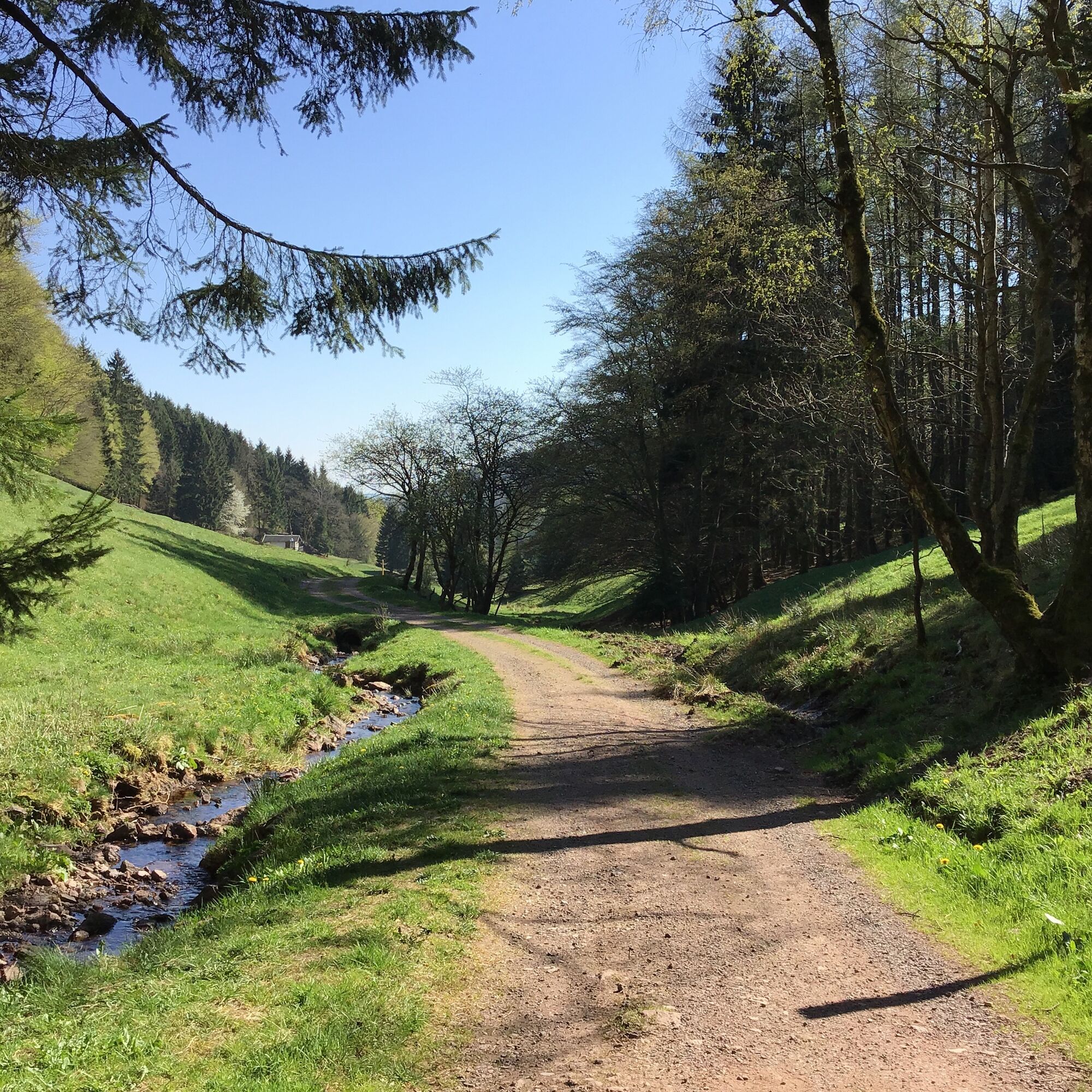
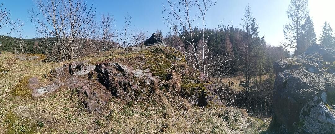
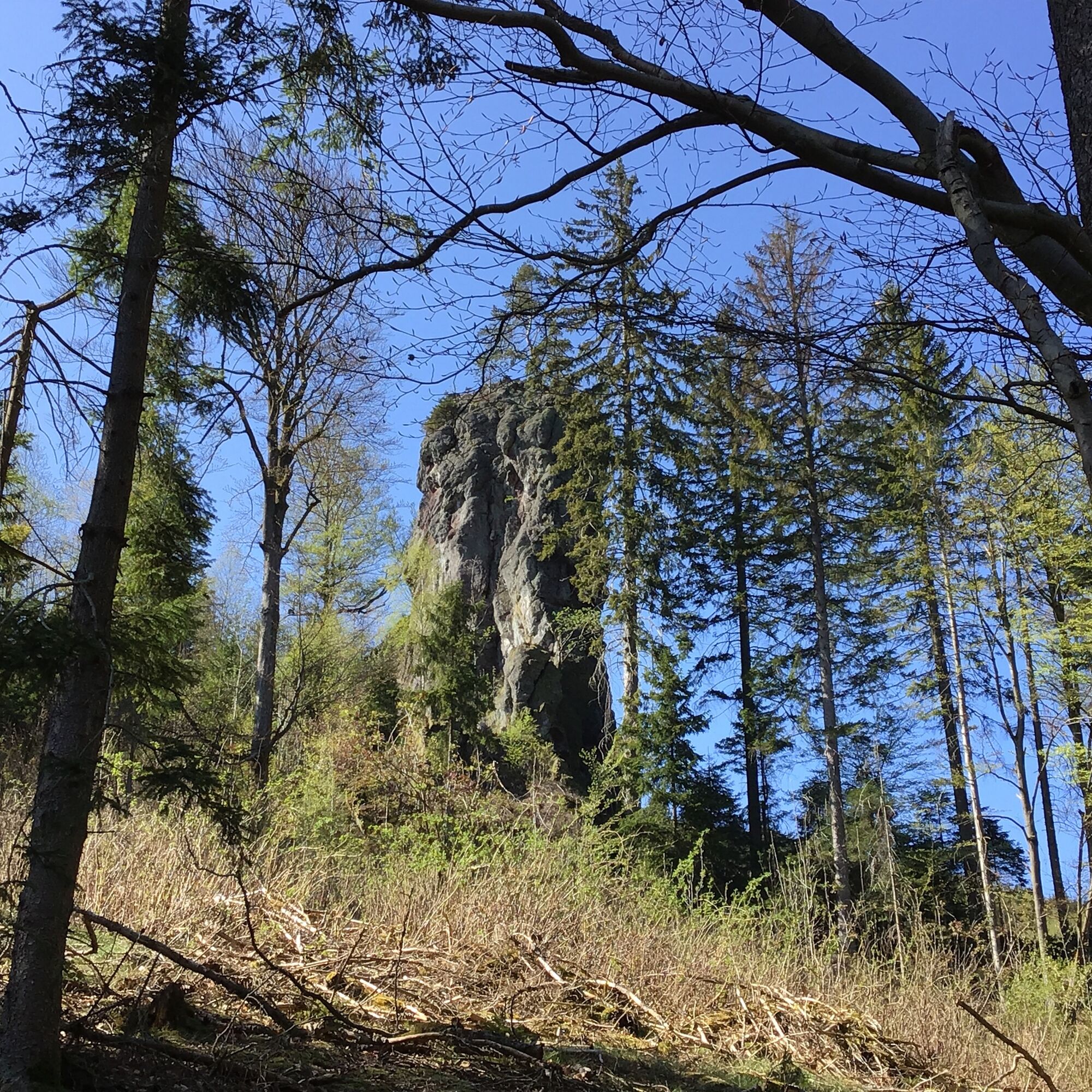
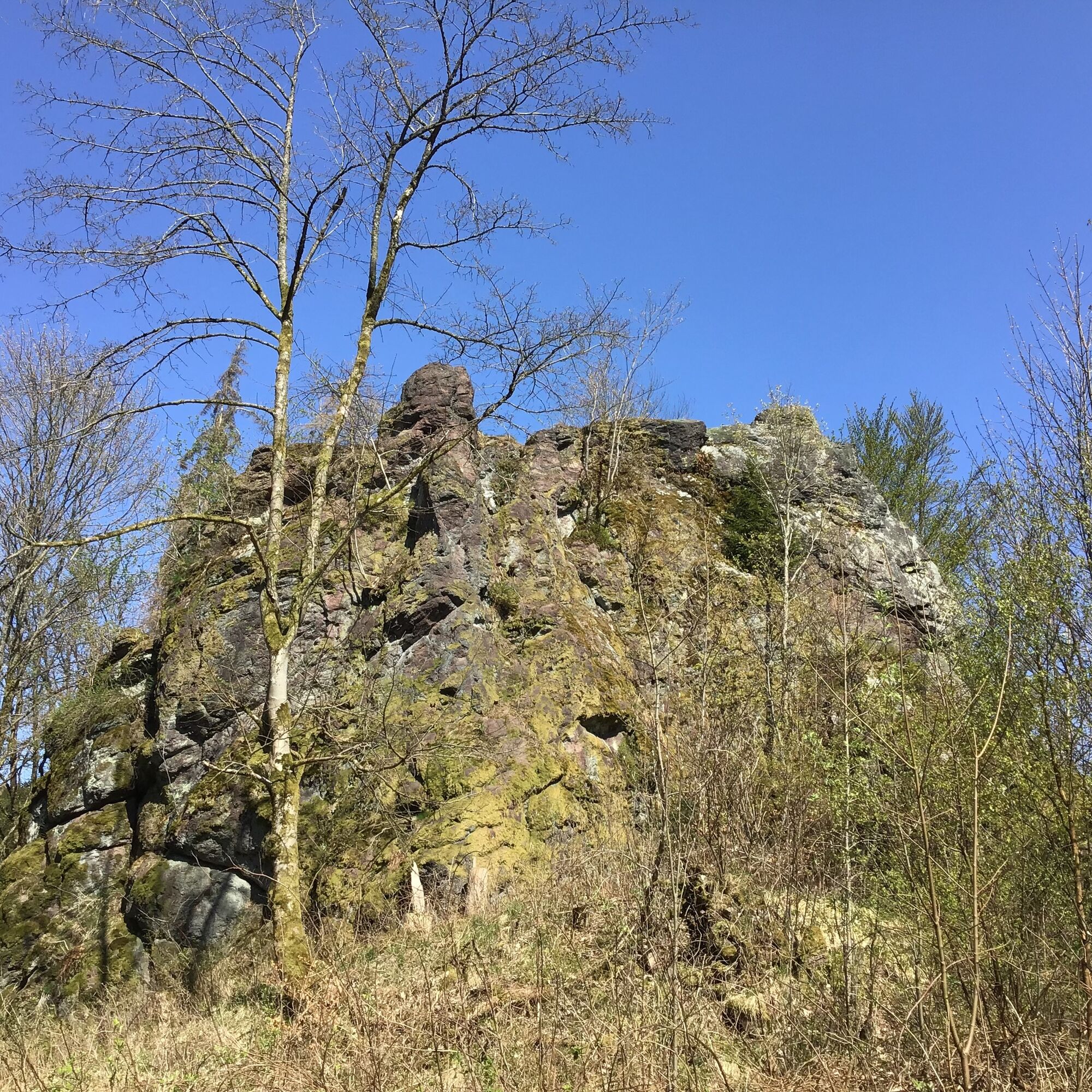
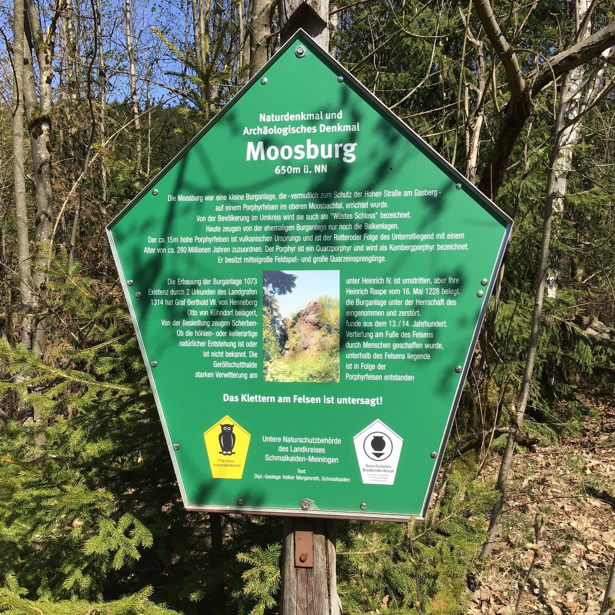
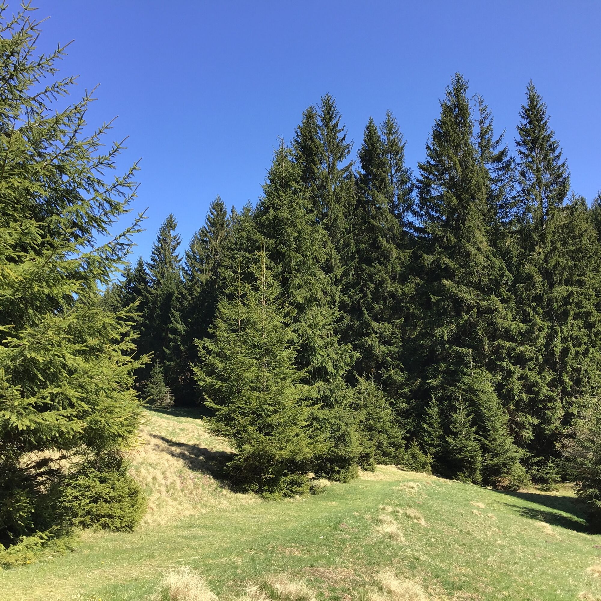
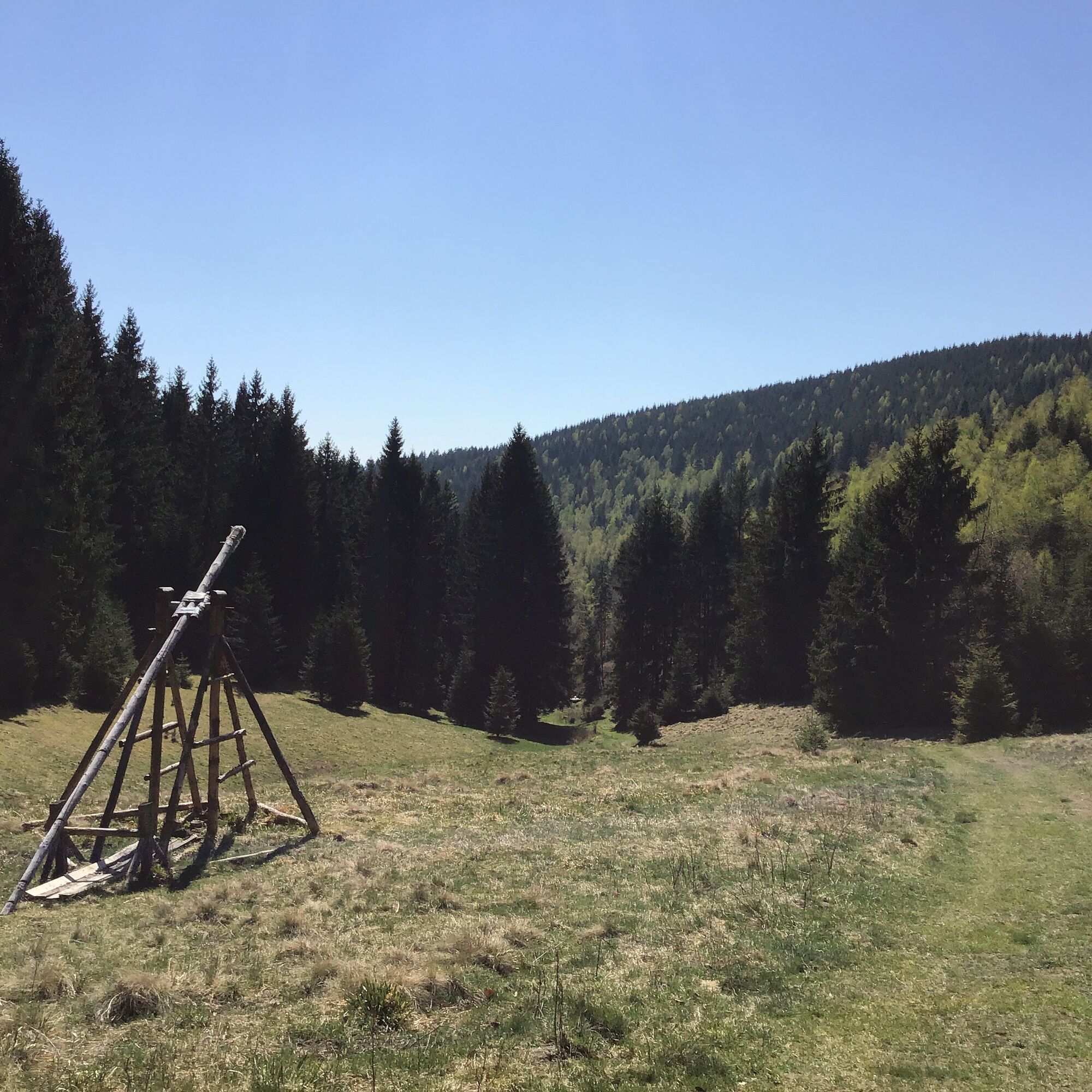
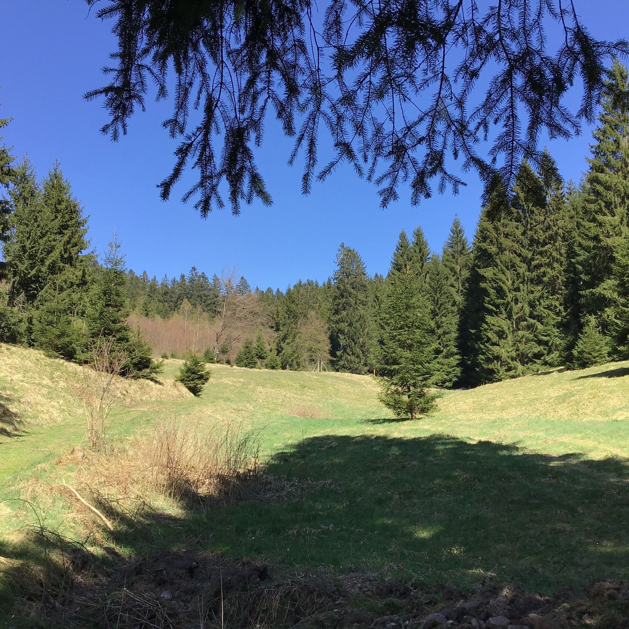
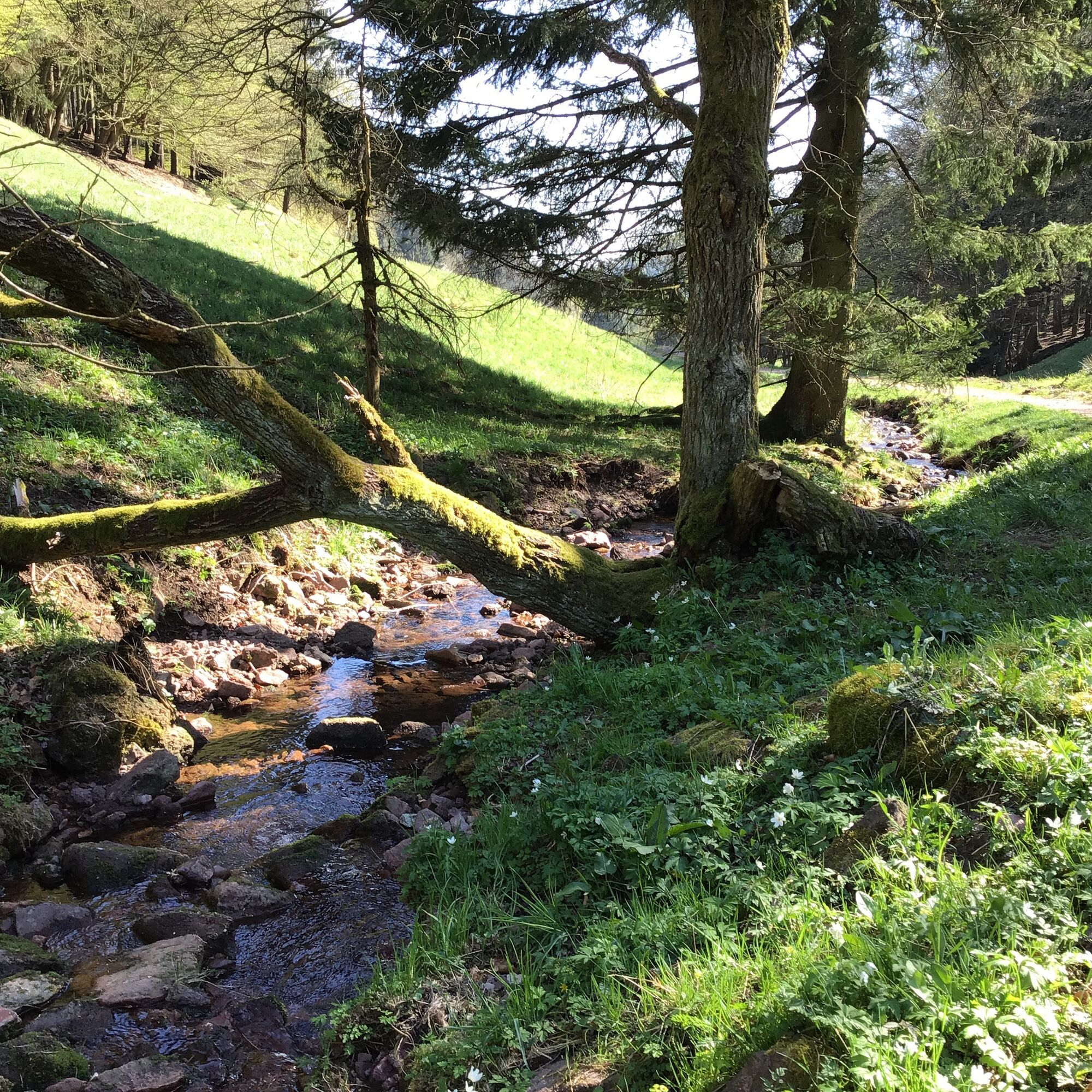
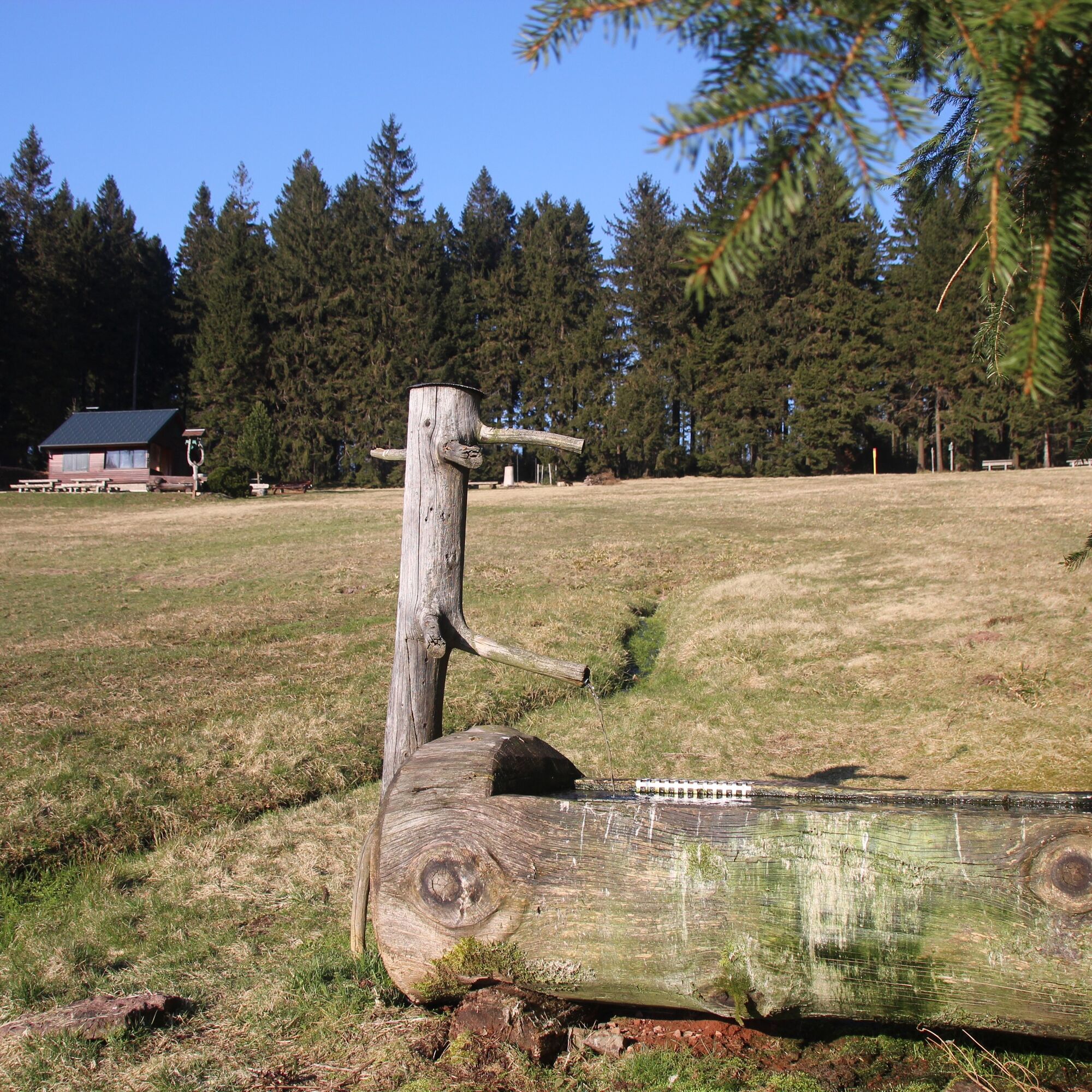
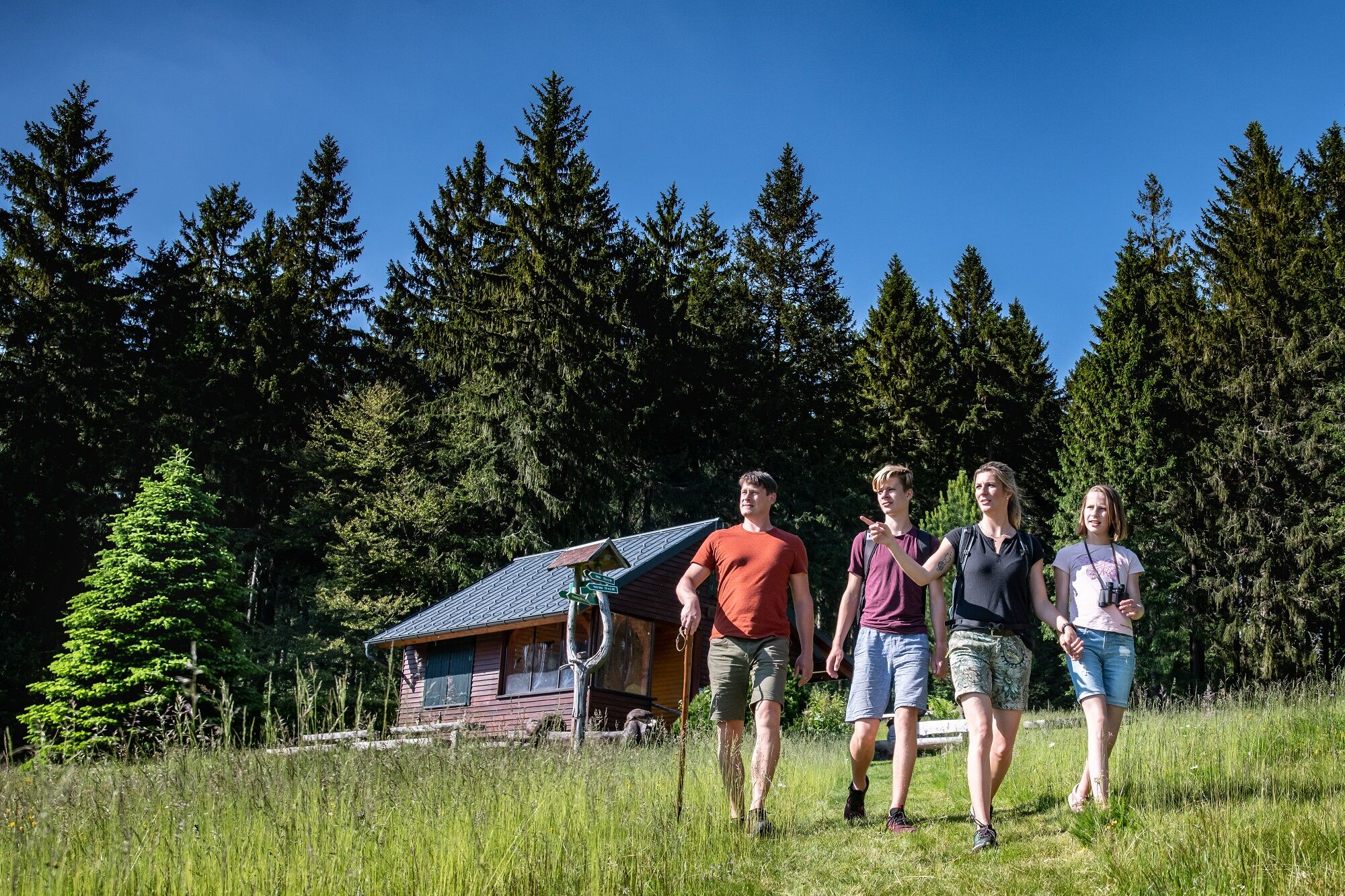
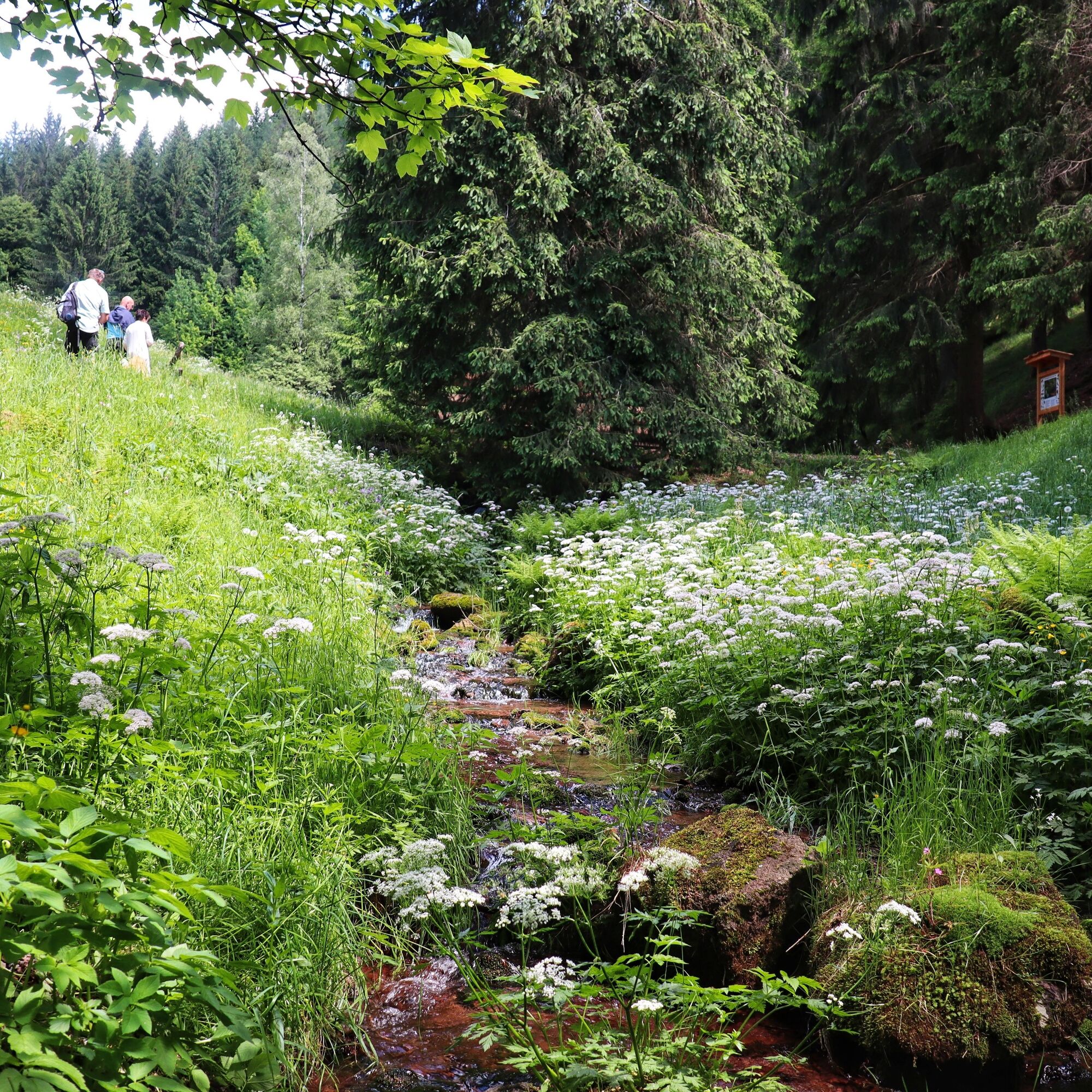
Dreamlike beautiful forest paths, a place where robber knights once dwelled, a valley of impressive beauty and a crystal-clear mountain stream await you on this hike. You start your route at the Köpfchen hiking parking lot. After hiking a short stretch up the Königsweg, you turn left. Steeply uphill on a wonderful forest path, you quickly gain altitude. At a forest glade, you will enjoy a fantastic view to the left towards Rotterode and to the right over Unterschönau to the ridge of the Rennsteig. Your first destination is the former robber knight castle Moosburg. Today, only the approx. 15 m high porphyry rock of volcanic origin remains. After a short rest, the path leads you uphill again to a crossroads where you turn left towards Schierlingswiese. Crossing the Moosbach, the gently curved mountain meadow invites you to linger. You continue hiking now in the direction of Moosbachtal. The valley with its crystal-clear mountain stream lies before you, original and of unique beauty. Again and again you pause because the Moosbach presents itself here in all its beauty. In the lower part of the valley, striking rocks suddenly rise up on the right. The Koppensteine are a popular climbing area for the local climbing scene. At the end of the valley, the path leads you left to the forest edge and over a rooty mossy forest path back to the starting point.


Parking lot at Köpfchen - Königsweg - Moosburg - Schierlingswiese - Moosbachtal - Parking lot at Köpfchen
Da
Sturdy footwear
Rainwear
Drink supply
First aid kit
GPS navigation device or smartphone
Please behave considerately and quietly in the forest to protect flora and fauna. Follow the instructions of the forestry staff and be aware of restrictions due to forestry work.
Coming from the A71 take exit 19 (Suhl - Zella-Mehlis) and continue on B62 towards Zella-Mehlis / Schmalkalden. At the Benshausen town entrance leave the roundabout towards Viernau / Steinbach-Hallenberg. Follow L1118 further to Steinbach-Hallenberg. Drive through the town and follow L1117 further towards Rotterode. After entering the town, turn right onto Unterschönauer Weg and follow the road on the right side towards the sports field "Köpfchen".
You can reach the starting point of the hike from the town hall Steinbach-Hallenberg with bus line 448 of the MBB, stop "Rotterode, Steinbacher Straße". Then follow Steinbacher Straße downhill on foot and turn left after a few meters into "Moosbachtal" street.
Please use the German Railways travel portal for travel planning at the following link:
→ Travel to Steinbach-Hallenberg, railway station
Parking is available at the parking lot at Köpfchen (Google NAV point)
A detour (approx. 500 m) to Silberweise is worthwhile. From here you have a great view of the Dolmar and the Rhön. The hut at Silberwiese is run by the Rotterode Ski Club on weekends.

Priljubljeni izleti v okolici
- 4.3
Rund um die Ohratalsperre
svetlobaPohodništvo 14.5 km - 4.4
Circular hike "Old Tambach Dam", Tambach-D., Thuringian Forest
srednjaPohodništvo 8.33 km - 3.8
Wanderung zum Spitterfall
srednjaPohodništvo 14.6 km - 4.8
Circular hike - Schmalwasser reservoir - Tambach-Dietharz - Thuringian Forest
srednjaPohodništvo 13.8 km - 4.0
Circular hiking route "Oberschönauer Felsenwanderung" - Steinbach-Hallenberg - Thuringian Forest
težkoPohodništvo 12.0 km - 4.4
Circular hiking trail - "Trusetal Landmark Route" - Thuringian Forest
svetlobaPohodništvo 4.02 km - 4.0
Zu den Schanzen im Kanzlersgrund
srednjaPohodništvo 9.58 km - 4.5
Circular hike to Bärenstein & Pfanntalsteich
srednjaPohodništvo 9.10 km - 4.2
TOP 5 - circular hiking route - "Forsthaus Sattelbach" - Oberhof
svetlobaPohodništvo 3.67 km - 4.7
Circular hike to Lütschetalsperre
srednjaPohodništvo 13.0 km
Pohodništvo in sledenje


Ne zamudite ponudb in navdiha za naslednje počitnice
Vaš e-poštni naslov je bil dodan na poštni seznam.





