




Circular hiking trail - Heath circular trail - Pößneck - Orla valley

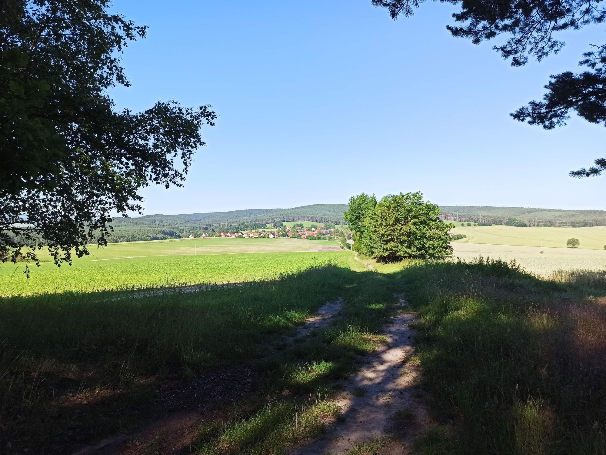
The heath is a sandstone-formed upland area between the western Orla valley and the Saale valley, or between the towns of Pößneck, Saalfeld, Rudolstadt, and Orlamünde. The hilly and forested high plateau...
The heath is a sandstone-formed upland area between the western Orla valley and the Saale valley, or between the towns of Pößneck, Saalfeld, Rudolstadt, and Orlamünde. The hilly and forested high plateau covers a total area of about 100 square kilometers and is steeped in myths and legends, described on pictorial panels up to 140 years old and evidenced by stone crosses, some of which date back to the Middle Ages.
On the small heath circular trail, you pass two pictorial panels and a stone monument, with short detours to see additional stone monuments and springs/fountains. Two places to stop for refreshments lie directly on the route: the courtyard café of the Naturhotel Vitaleum in Hütten and the inn "Zum Krug" in Langenorla.
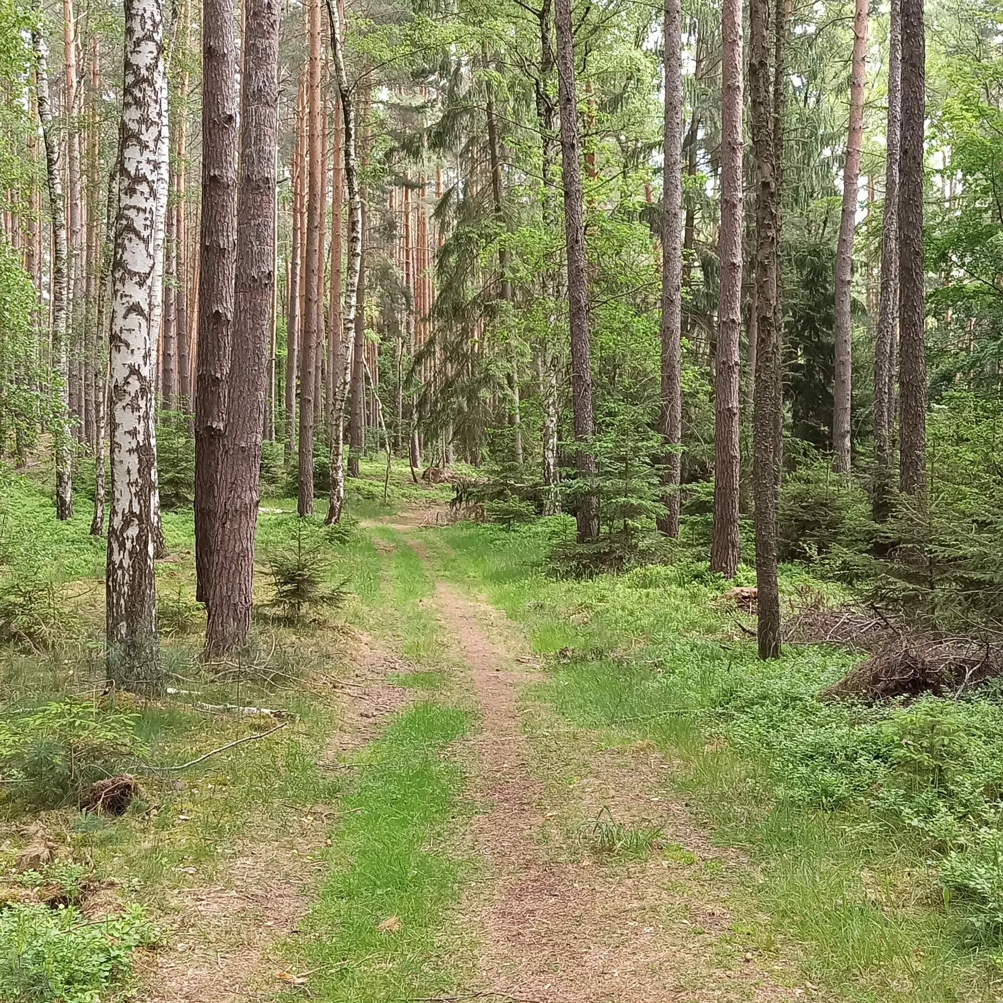
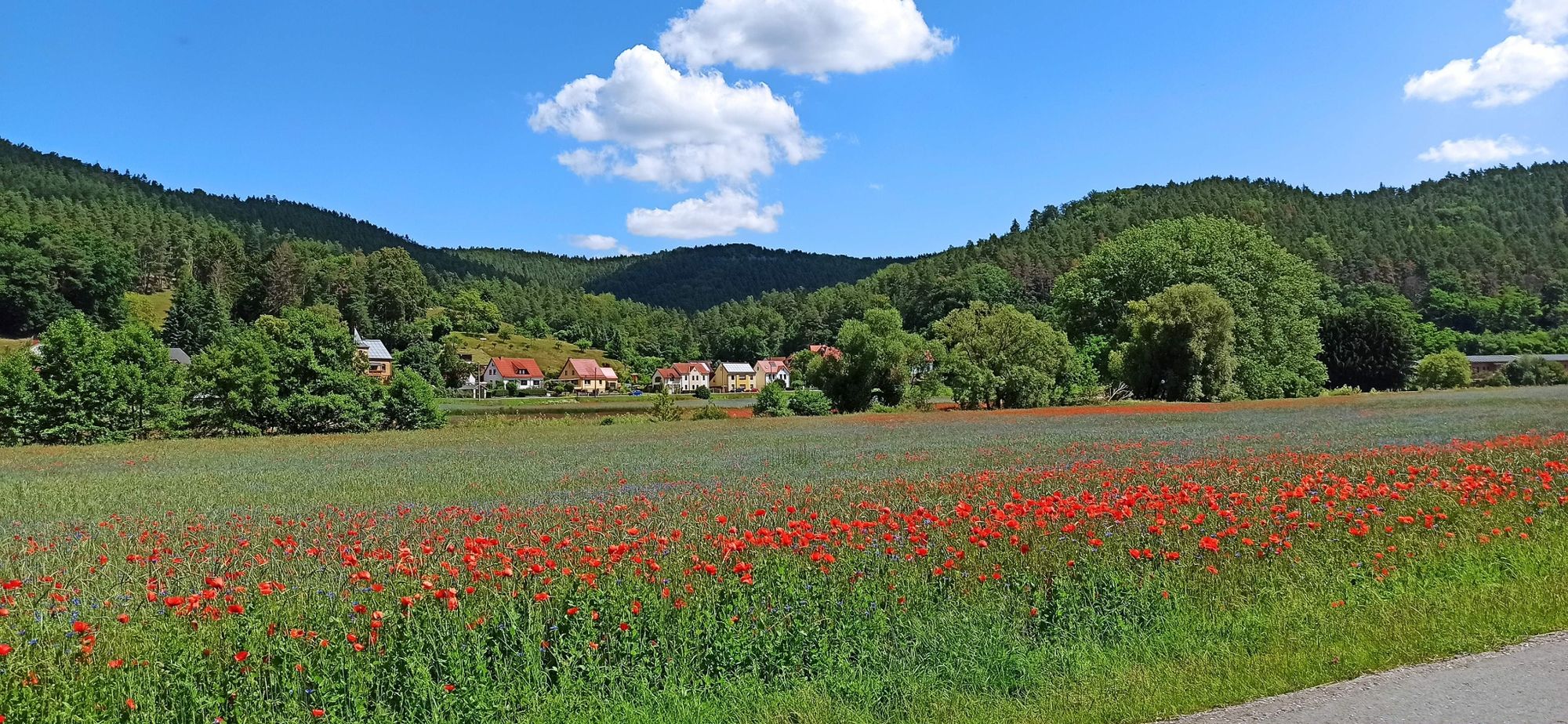
The circular hiking trail is characterized by well-passable forest roads, narrow natural paths, and sections through idyllic small villages. Various viewpoints invite you to pause and enjoy.


Pößneck - Hütten - Langenorla - Kleindembach - Pößneck
Da
Sturdy footwear
Rainwear or sunscreen
First aid kit
GPS navigation device or smartphone (helpful but not absolutely necessary)
Be aware of typical forest hazards! Walking is at your own risk! Avoid stepping on moss-covered stones and rocks due to slip danger and watch out for deadwood, branches, and fallen trees.
Coming from the A9, take exit 26 (Triptis) and continue on the B281 towards Saalfeld, passing Neustadt an der Orla to Pößneck. Follow the B281 through Pößneck to the roundabout, then turn north onto Orlamünder Straße (signposted Krankenhaus). Follow Orlamünder Straße and the signs for "Bad am Wald."
The Leipzig - Saalfeld railway line runs through Pößneck, stopping at the upper station. From the upper station, take bus line B to the bus station. At the bus station, transfer to bus line C, which stops directly at Bad am Wald.
The train from Jena stops at the lower station. From the lower station, take bus line 960 to the bus station. At the bus station, transfer to bus line C, which stops directly at Bad am Wald.
Please use the following link to the Deutsche Bahn travel portal to plan your journey, entering only your starting point and desired travel period:
→ Travel to Bad am Wald, Pößneck
The parking lot at "Bad am Wald" is public and free (Google NAV point)
Additional free parking options are found in the villages along the circular hiking trail.
From 2023: On hot days, you can cool off at the Bad am Wald. Various shelters in the forest invite you to a picnic. Refreshments at the cozy courtyard café of the Vitaleum and at the inn "Zum Krug".
Priljubljeni izleti v okolici
-
4.5
Von Ziegenrück zur Fernsicht
srednjaPohodništvo 5.50 km -
4.0
Zur Jagdanlage Rieseneck bei Hummelshain
svetlobaPohodništvo 5.21 km -
4.0
Circular route - "Wichtelweg" - Wilhelmsdorf
svetlobaTematska pot 2 km -
5.0
Zum Bismarckturm und zu den Fuchsteichen
svetlobaPohodništvo 6.67 km -
5.0
Zwischen Leubengrund und Hummelshain
svetlobaPohodništvo 9.28 km -
4.0
Circular hike - "Round route 3" - start and finish country hotel Edelhof Kolkwitz - Thuringia
srednjaPohodništvo 9.42 km -
3.0
Circular route - "On archaeological trail of King Otto I." - Saale region
svetlobaPohodništvo 6.55 km -
5.0
Hohenwarte Reservoir Trail - Stage 1 - Hohenwarte Dam → Wilhelmsdorf
težkoPohodništvo 17.6 km -
5.0
Circular hiking route - Zechstein reef Altenburg - Pößneck - Orla valley
svetlobaPohodništvo 3.22 km -
4.0
Hohenwarte Reservoir path - Stage 4 - Drognitz → Lothramühle
težkoPohodništvo 13.6 km
Pohodništvo in sledenje


Ne zamudite ponudb in navdiha za naslednje počitnice
Vaš e-poštni naslov je bil dodan na poštni seznam.


