


Circular hiking trail - Saalleitenweg -Uhlstädt Kirchhasel
Stopnja težavnosti: T2
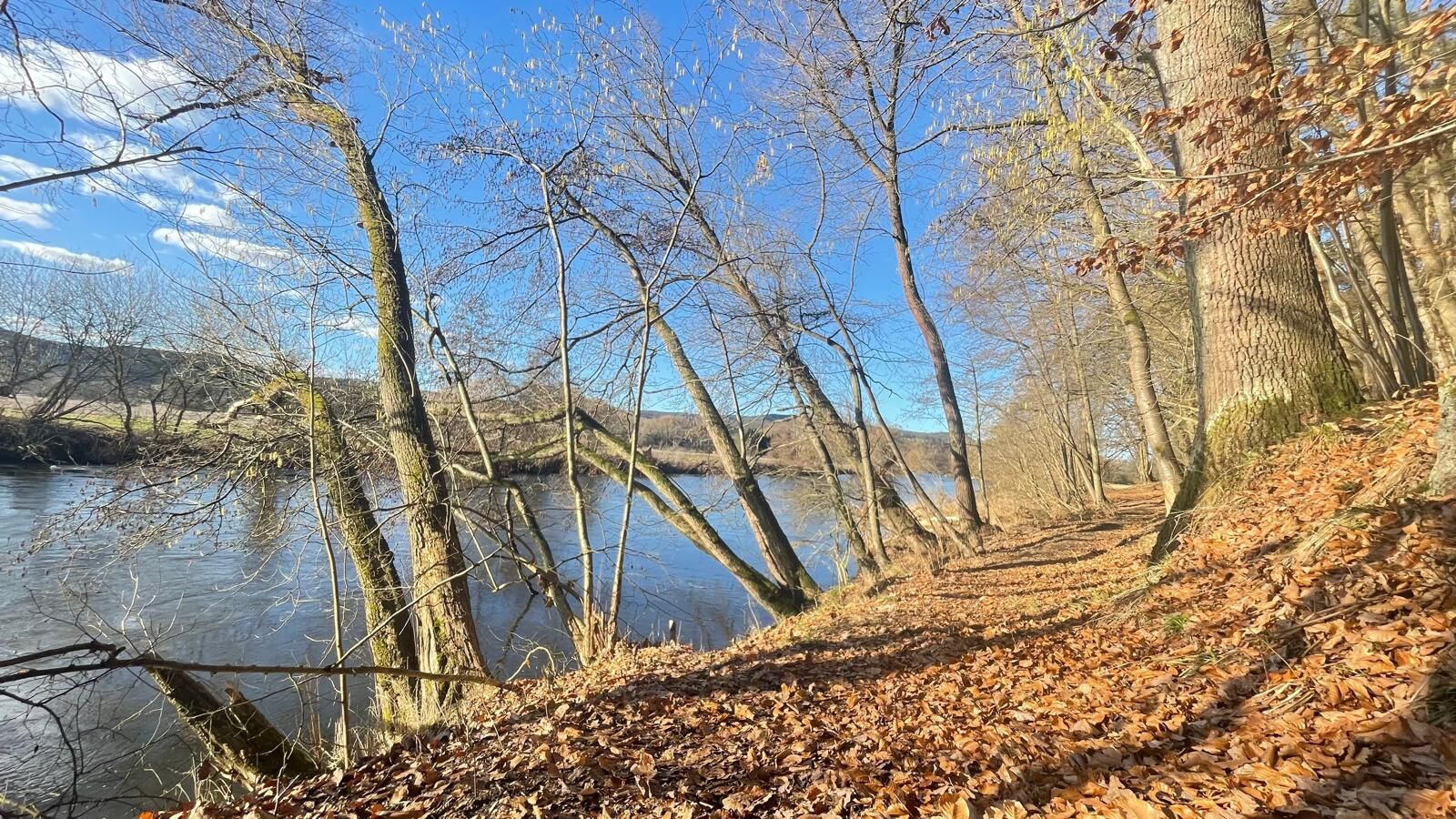
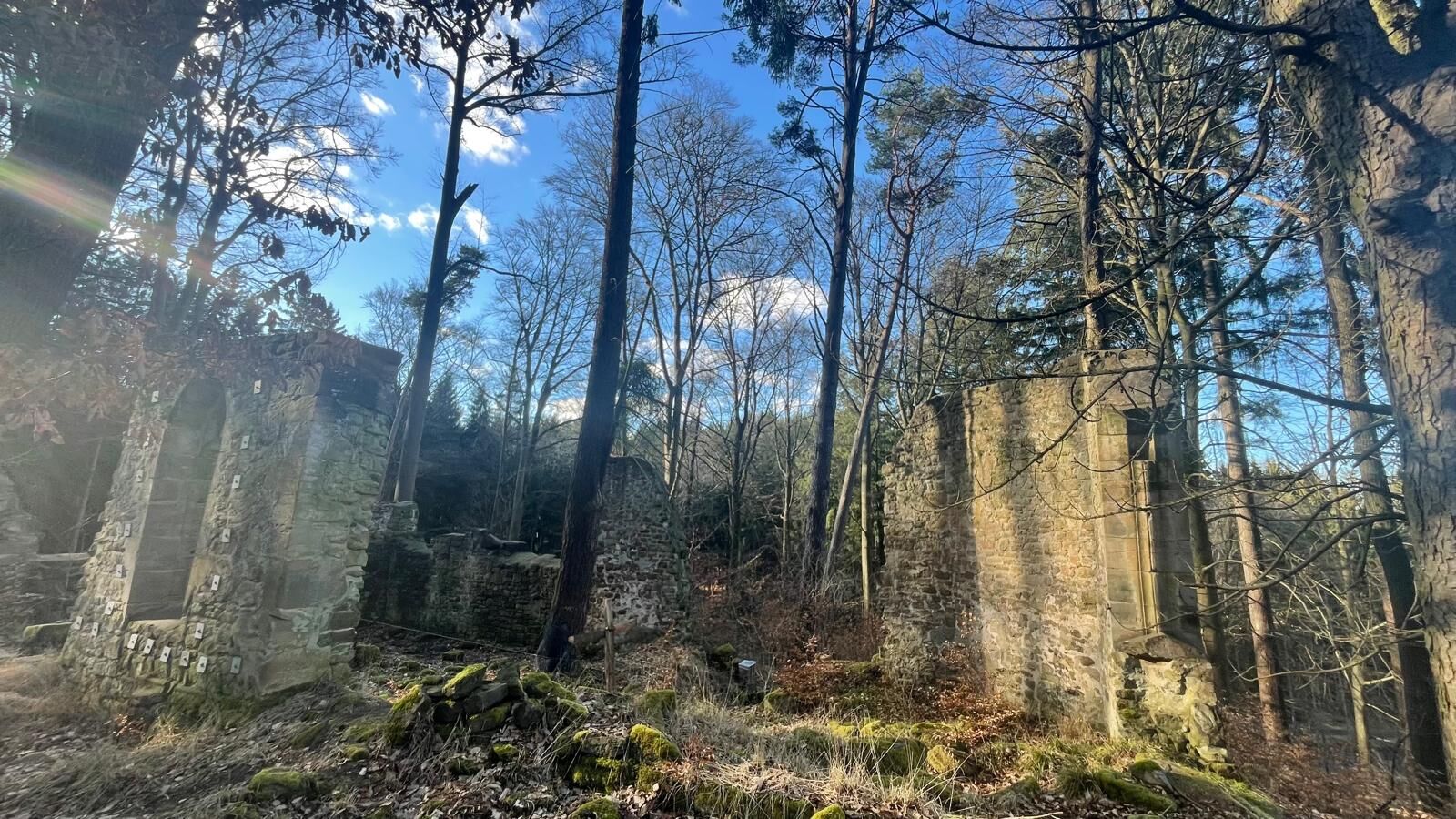
From the starting point at the parking lot, you first take the lower Saalleitenweg trail along the river. After this idyllic section, you will reach the Töpferdorf ruins, which today lie quietly and picturesquely...
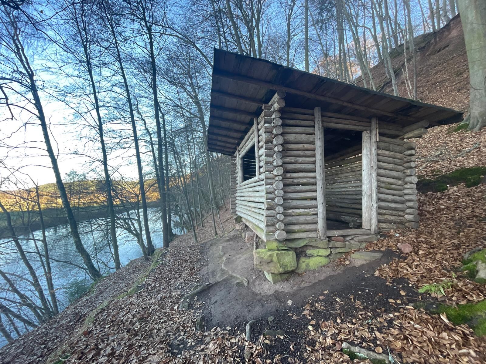
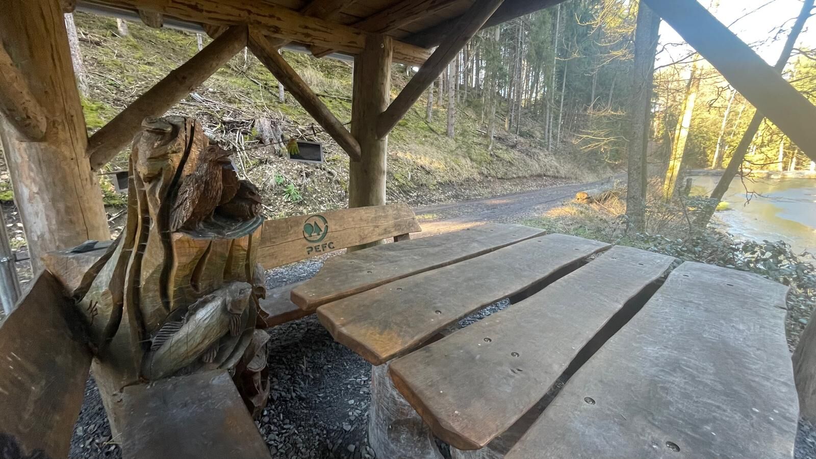
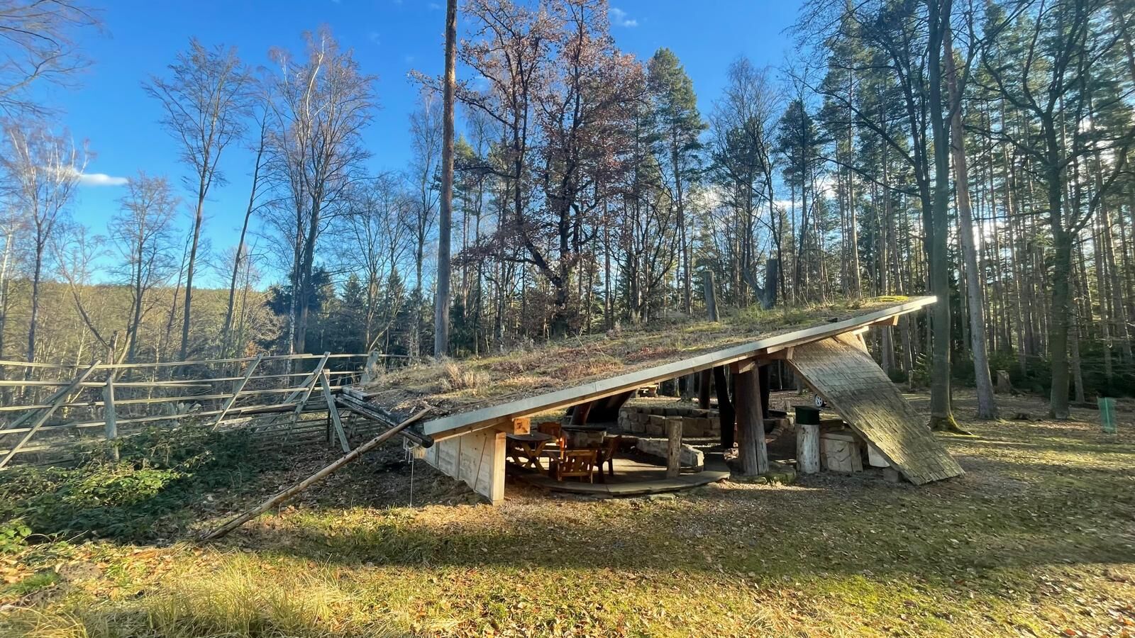
After a short passage back, the trail branches off onto the Saalleiten circular trail. This leads you to the Spechtschmiede, a particularly idyllic place that is ideal for families and children. From there, it is only a short, pleasant walk back to the starting point at Saaletalblick, where the panorama over the Saale valley opens up once again in impressive style.


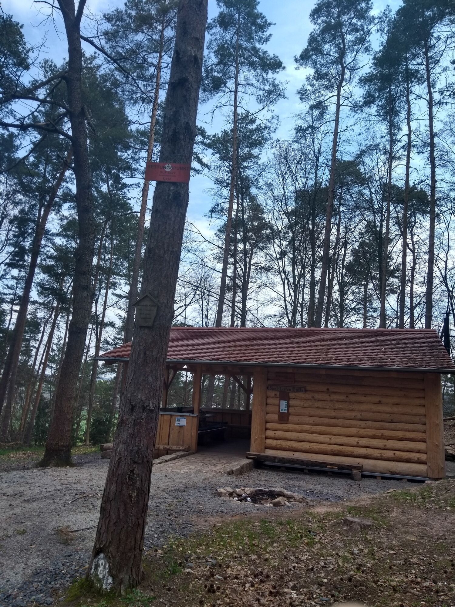
Oberkrossen - Salleitenweg - Roland Quelle - Bräutigamswand - Töpfersdorf church ruins - Spechtschmiede - Saaletalblick - Breites Tal - Teufelsloch - Salleiten Hütte - Oberkrossen
Da
sturdy shoes
rainwear
First aid kit
GPS device or smartphone
Drink reserve
The use of open fires is strictly prohibited in the entire Vessertal area. The disposal of garbage is also only permitted in designated areas (rest areas with garbage bins).
Further information can be found in the "Thuringian Forest Etiquette"
Approach via the B 88, approx. 25 km east of Saalfeld and 25 km west of Jena, to Uhlstädt. Turn off at the church in the direction of Oberkrossen and drive over the railroad crossing, over the Saale bridge and left in the direction of the Oberkrossen sawmill. After 400 meters on the left is the playground and another 200 meters further on is the parking lot.
You can easily reach Uhlstädt by train DB stop Uhlstädt
Google NAV point
T2
OT Uhlstädt,
Am Saalewehr 2
07407 Uhlstädt-Kirchhasel
Tel: 036742 63534
Email: touristinfo@uhlstaedt-kirchhasel.de
Woodpecker forge
Saaletal view
Priljubljeni izleti v okolici
- 4,9
Circular hiking trail - H5 "The Water Route" - Thuringian Forest
srednjaPohodništvo 6,58 km - 4,7
Circular hiking route - H3 "The Bird's Eye View" - Thuringian Forest
srednjaPohodništvo 8,78 km - 4,0
Zur Jagdanlage Rieseneck bei Hummelshain
svetlobaPohodništvo 5,21 km - 4,0
Circular route - "Wichtelweg" - Wilhelmsdorf
svetlobaTematska pot 2 km - 5,0
Zwischen Leubengrund und Hummelshain
svetlobaPohodništvo 9,28 km - 5,0
Kulm route
srednjaPohodništvo 9,39 km - 3,0
Circular route - "On archaeological trail of King Otto I." - Saale region
svetlobaPohodništvo 6,55 km - 4,0
Circular hike - "Round route 3" - start and finish country hotel Edelhof Kolkwitz - Thuringia
srednjaPohodništvo 9,42 km - 5,0
Hohenwarte Reservoir Trail - Stage 1 - Hohenwarte Dam → Wilhelmsdorf
težkoPohodništvo 17,6 km - 5,0
Circular hiking route - Zechstein reef Altenburg - Pößneck - Orla valley
svetlobaPohodništvo 3,22 km
Pohodništvo in sledenje


Ne zamudite ponudb in navdiha za naslednje počitnice
Vaš e-poštni naslov je bil dodan na poštni seznam.