







Hike from Masserberg to Fehrenbach – nature, rest stops, and Rennsteig flair
Stopnja težavnosti: T2
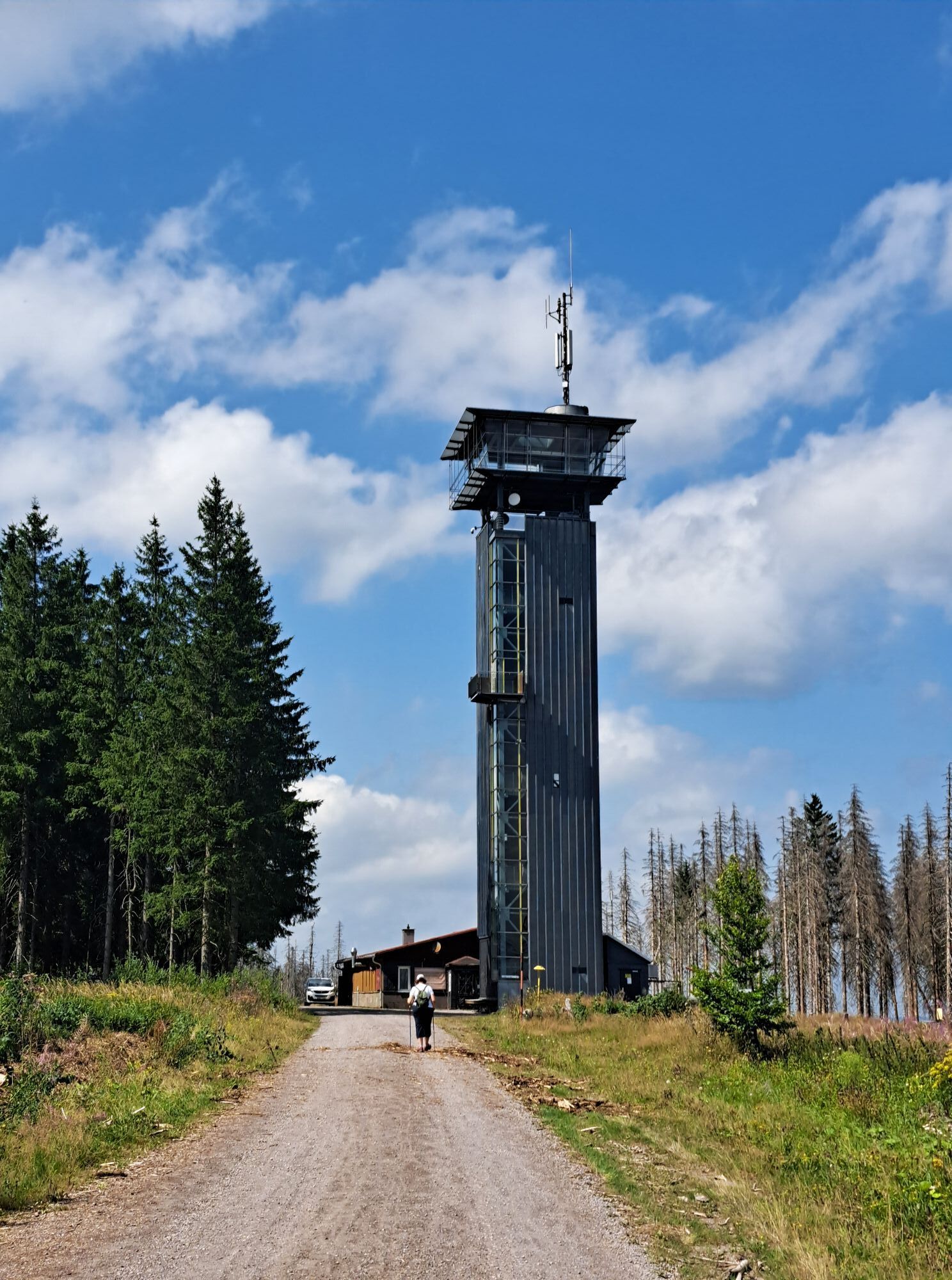
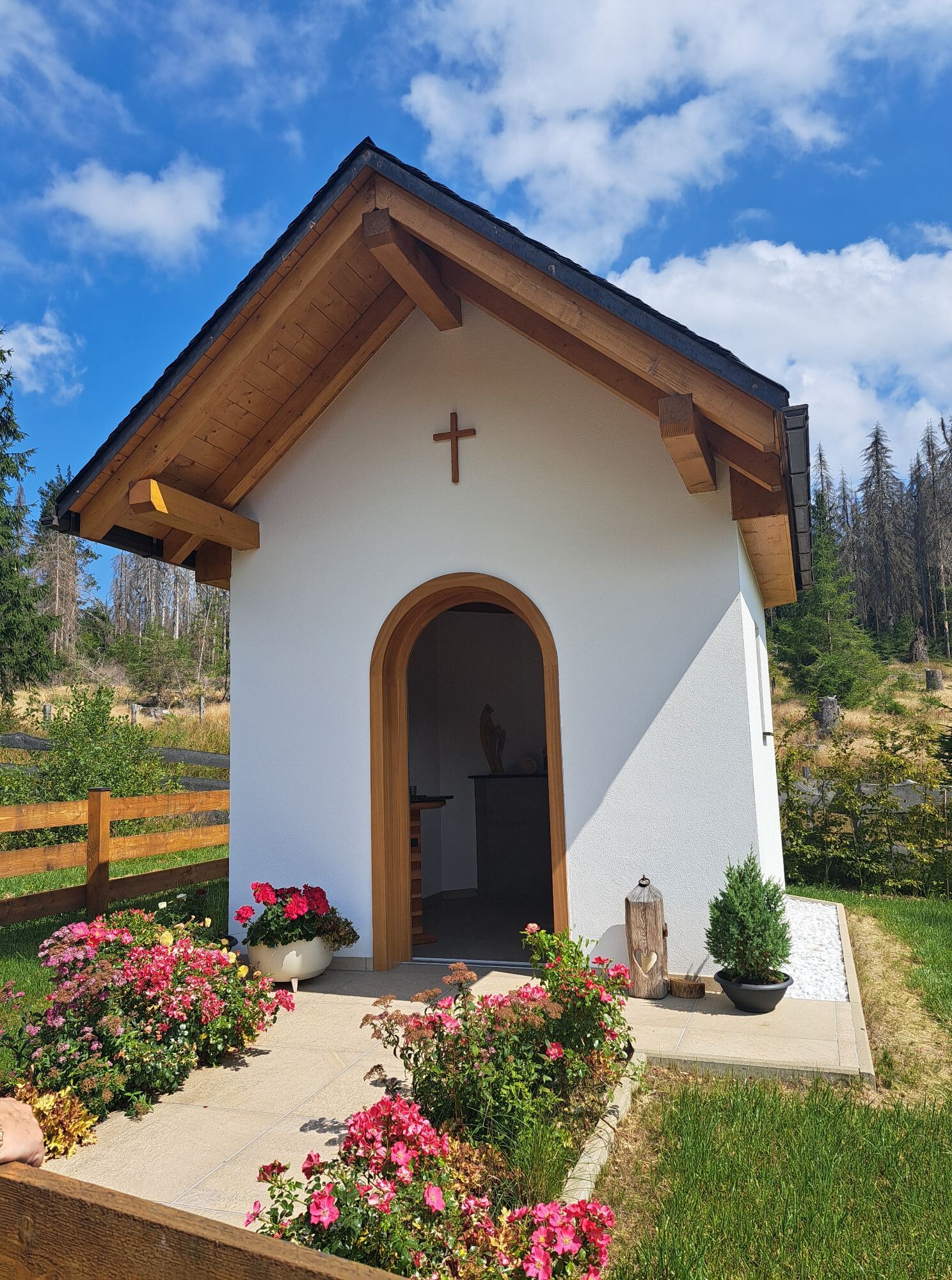
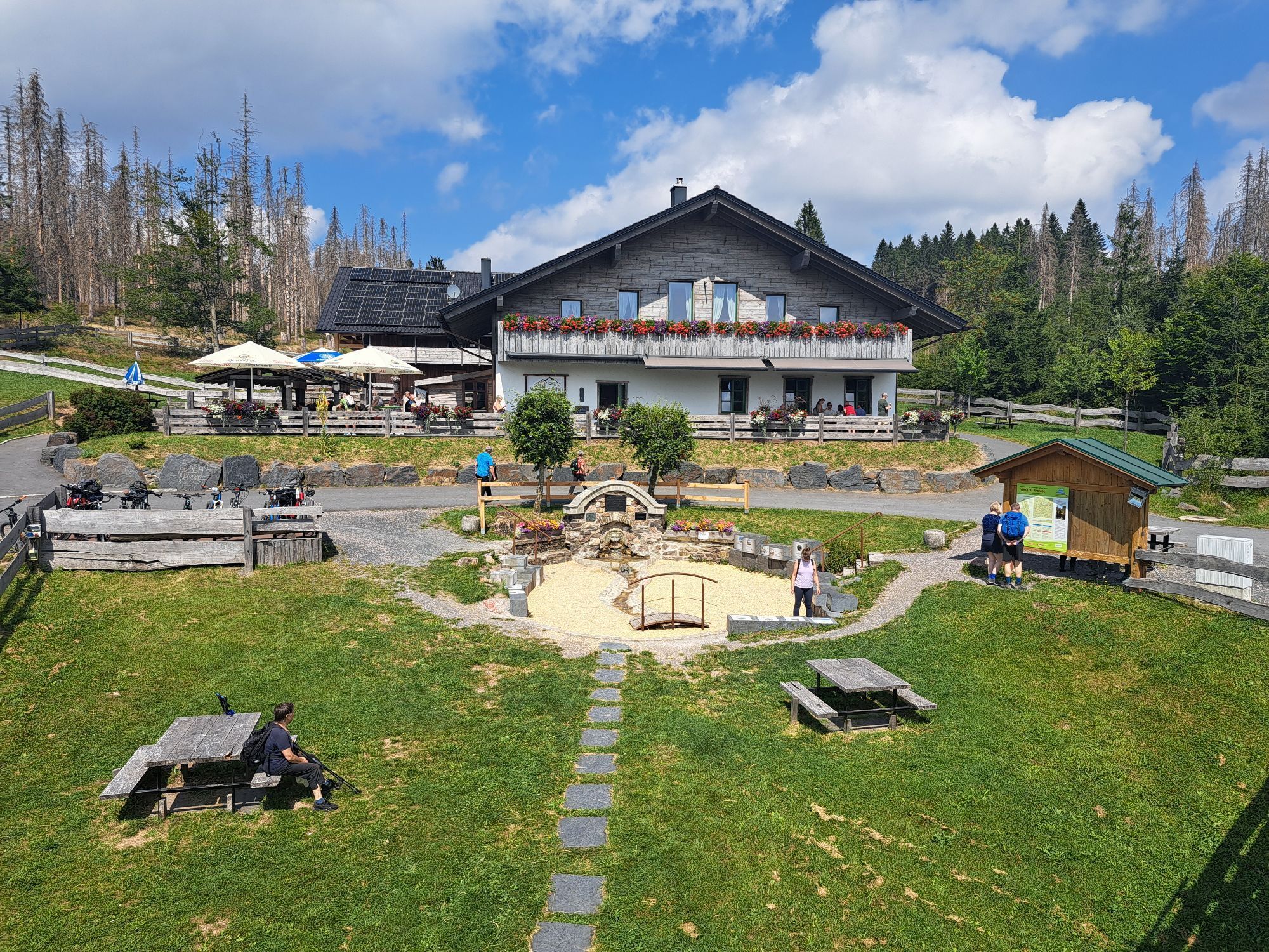
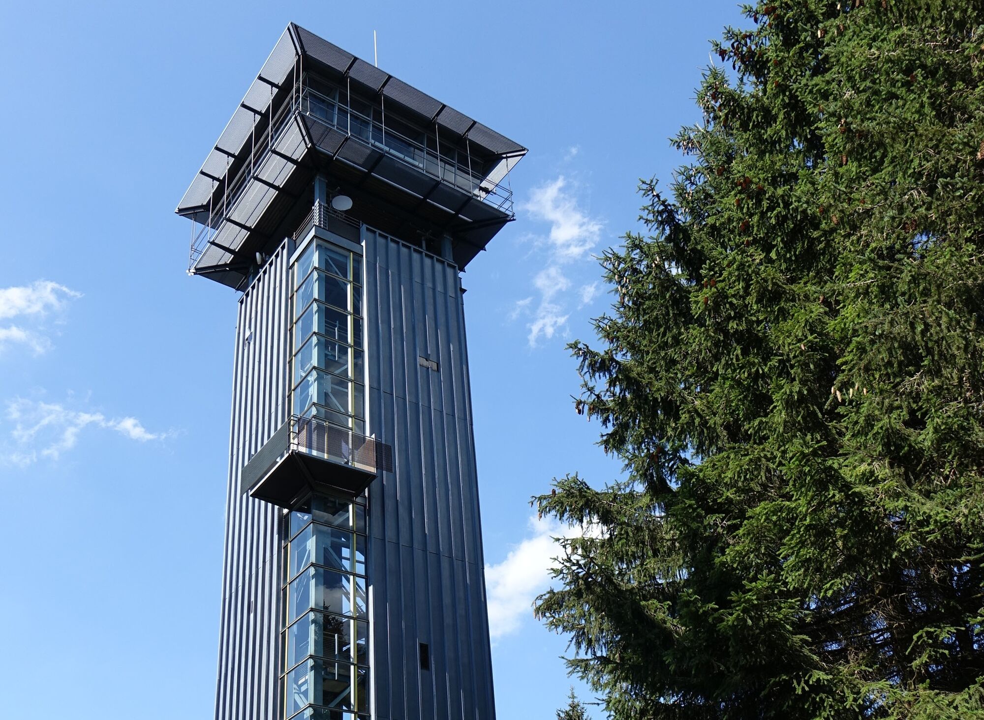
The route starts at the hiking parking lot by the Rennsteighaus Masserberg. From there, you first head to the observation tower, which offers a magnificent view over the Thuringian Forest. Next, the path...
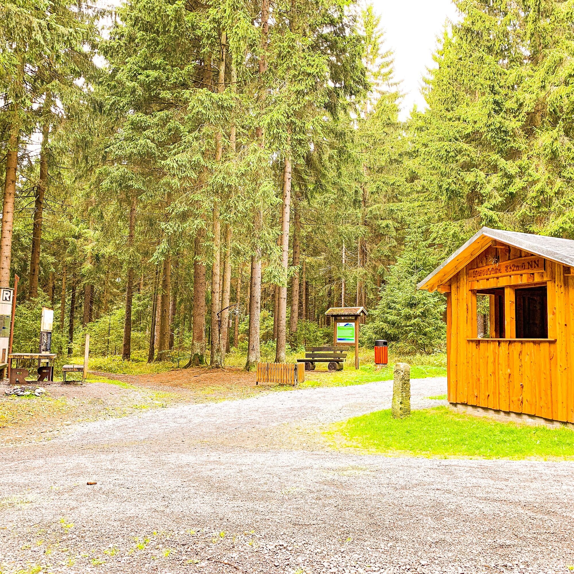
The route starts at the hiking parking lot by the Rennsteighaus Masserberg. From there, you first head to the observation tower, which offers a magnificent view over the Thuringian Forest. Next, the path leads along the historic Rennsteig to the idyllic Heidhütte – perfect for a first rest amidst greenery.
After a short hike, you reach the Werraquellhütte, directly at the source of the Werra. A cozy break with Thuringian specialties is well worth it here. Refreshed, continue towards Fehrenbach, passing the inn "Schwarzer Adler", which also invites you to rest. The hike ends at the bus stop in Fehrenbach – ideal for the return journey.

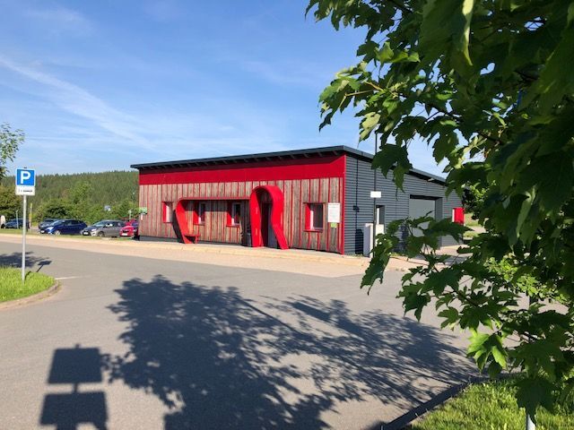

Hiking parking lot Rennsteighaus Masserberg - Planieweg - Turmbaude - Planieweg - Heidhütte Dreiherrenstein - Faule Brücke - Werra source - Fehrenbach bus stop
The hiking trail requires sturdy footwear. You will hike partly on narrow paths. Avoid stepping on moss-covered stones and rocks due to the risk of slipping and watch out for deadwood, branches, and fallen trees.
Be aware of the typical dangers of the forest! Hiking is at your own risk! We wish you a relaxing and exciting hike!
Coming from the A73, exit 4 (Schleusingen) and continue on L3004 towards Schmiedefeld. In the village of Hinternah, turn right over the railway crossing onto Waldauer Straße towards Waldau. Then turn left towards Masserberg. After about 3 km you reach Schönbrunn, continue on the road to Gießübel, there turn right in the village center and follow the road to Schwalbenhaupt, then turn right to Masserberg. In the center of Masserberg, turn right and before leaving the village enter the parking lot Rennsteig at the Rennsteighaus Masserberg.
Stops
Masserberg, at the Rennsteig Fehrenbach, turning loopParking lot Rennsteig at the Rennsteighaus Masserberg
T2
Be sure to visit the "Werraquell-Hütte" at the source of the Werra.
Spletne kamere s turneje
Pridobite vpogled Vedno v živo na mestu z več kot 9.500 spletnimi kamerami. bergfex Kot uporabnik Pro si lahko zdaj ogledate ustrezne spletne kamere za številne izlete v aplikaciji izleti iz. Tako si lahko neposredno ogledate trenutne razmere. Priljubljeni izleti v okolici
- 5.0
Naturlehrpfad Gießübler Schweiz
srednjaPohodništvo 7.99 km - 3.0
Circular hike - "4 ponds hike" Neustadt am Rennsteig - Thuringian Forest
težkoPohodništvo 12.6 km - 3.8
Rundweg Talsperre
srednjaKolesarjenje 14.5 km The Rennsteig - long-distance hiking trail from Hörschel to Blankenstein - Thuringian Forest
težkoPohodništvo v daljavo 169.0 km- 5.0
Circular hiking route - TOP 1 - Werra Source - Masserberg - Thuringian Forest
srednjaPohodništvo 5.94 km - 5.0
Rundtour Staudamm
svetlobaPohodništvo 3.91 km - 5.0
Circular hike - To the Schönbrunn Dam - Frauenwald
srednjaPohodništvo 15.1 km Circular route - "When Rennsteig meets the Schwarzatal panorama path" - Limbach
srednjaPohodništvo 9.68 km- 5.0
Circular hiking trail - Dwarf trail Frauenwald - Thuringian Forest
svetlobaPohodništvo 4.02 km - 5.0
Circular hiking route - "Panorama View" - Schönbrunn - Thuringian Forest
srednjaPohodništvo 9.79 km
Pohodništvo in sledenje


Ne zamudite ponudb in navdiha za naslednje počitnice
Vaš e-poštni naslov je bil dodan na poštni seznam.





