


Long-distance hiking trail - Werra Castle Trail X5 - From Fehrenbach to Hann. Münden
Stopnja težavnosti: T2


One path, three countries, many opportunities
- so probably thought the hiking enthusiasts of the Werra Valley Association in 1885 when they began marking this long-distance hiking trail from Hann. Münden...
One path, three countries, many opportunities
- so probably thought the hiking enthusiasts of the Werra Valley Association in 1885 when they began marking this long-distance hiking trail from Hann. Münden to the Wartburg.
The inner-German border then divided the long-distance trail into two attractive routes: One leads as a quality hiking trail, marked with X5 H (like Hesse), from Hann. Münden to Tannenburg near Nentershausen. The other, marked with a blue square and black X5 on a white background, crosses the Eichsfeld and ends at the Brandenburg castle ruin near Lauchröden. Between the routes runs the Green Belt.
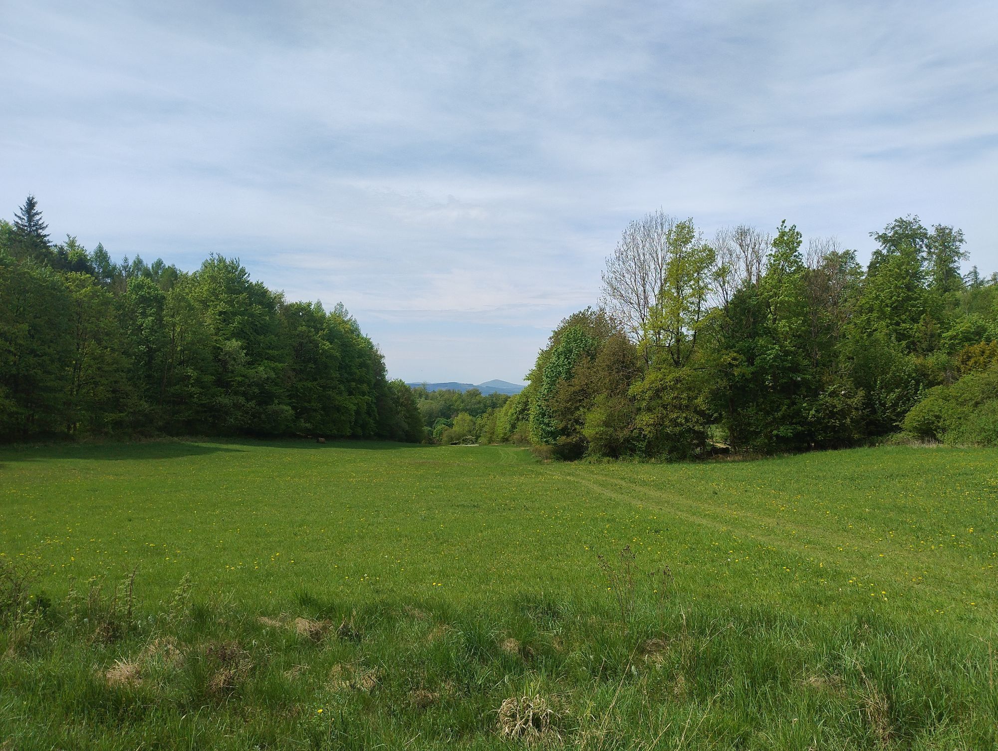
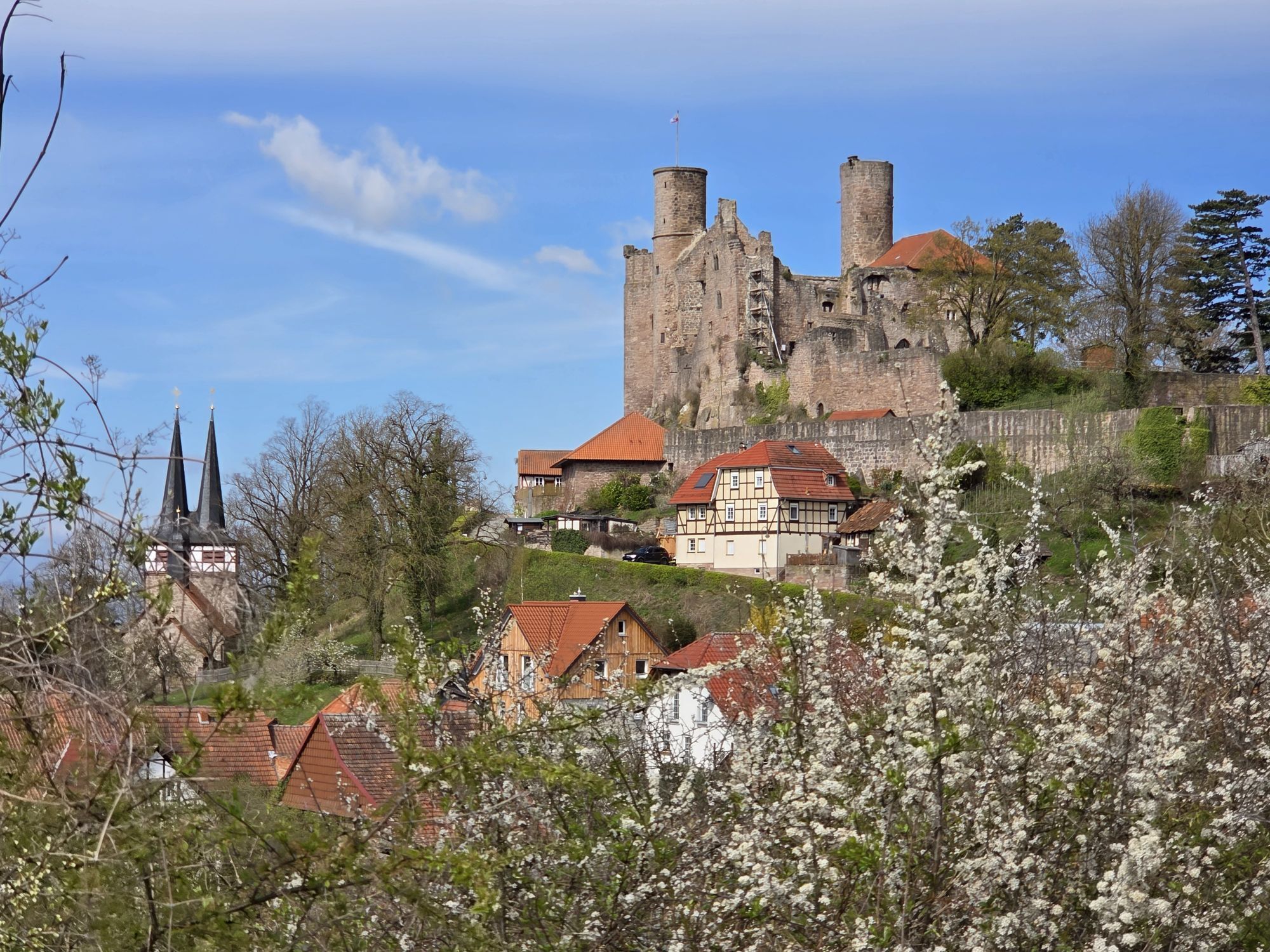
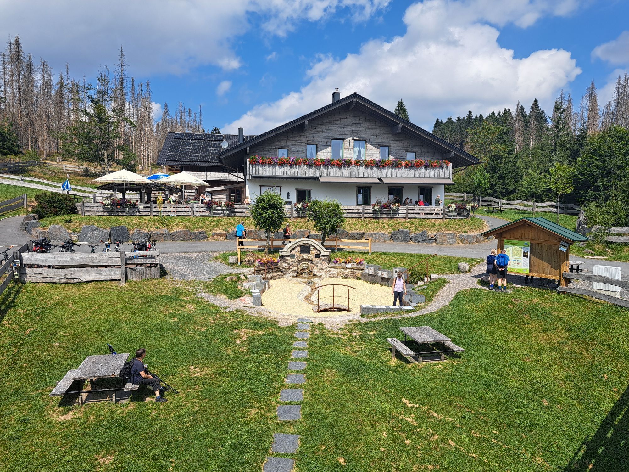
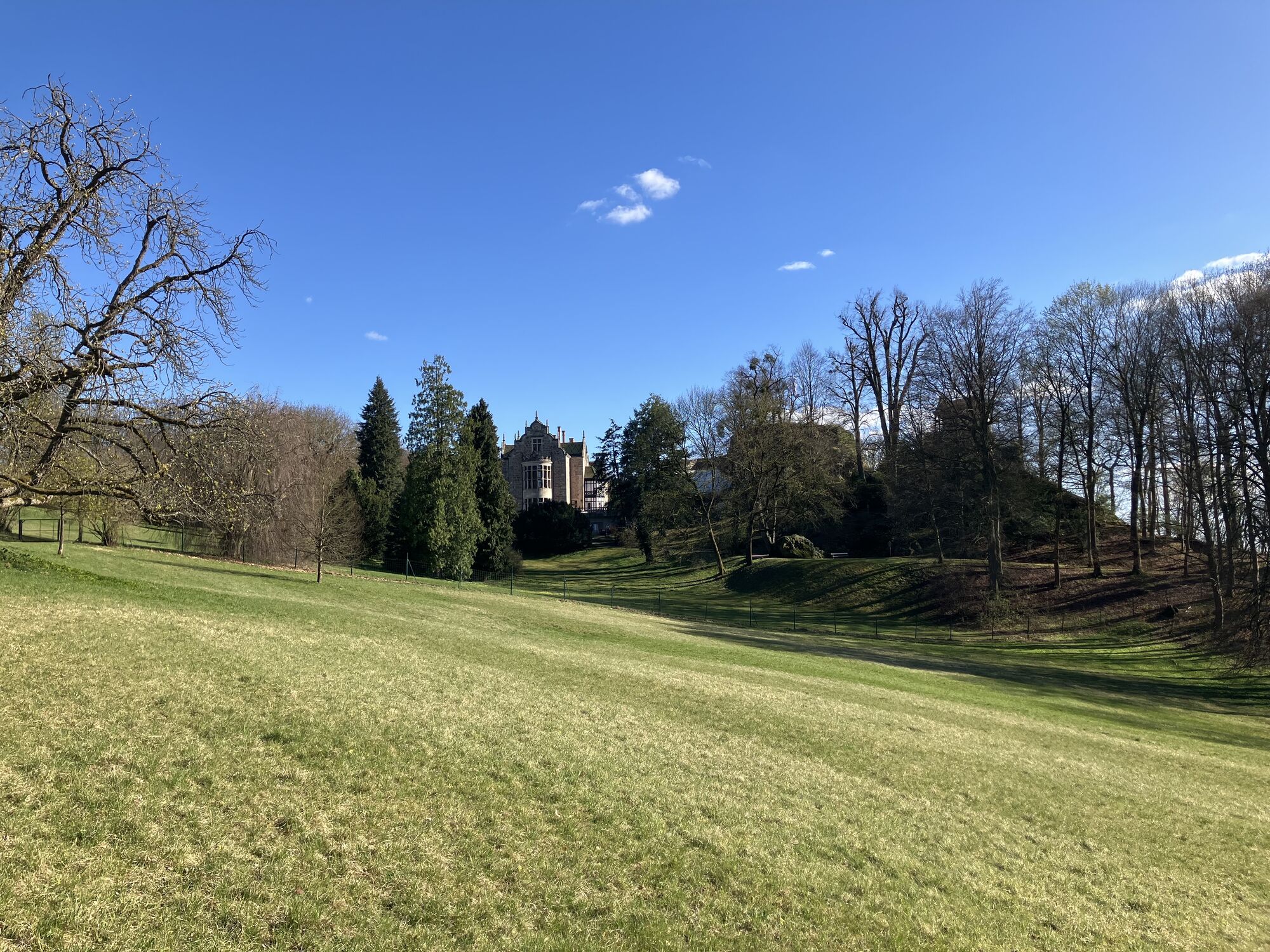
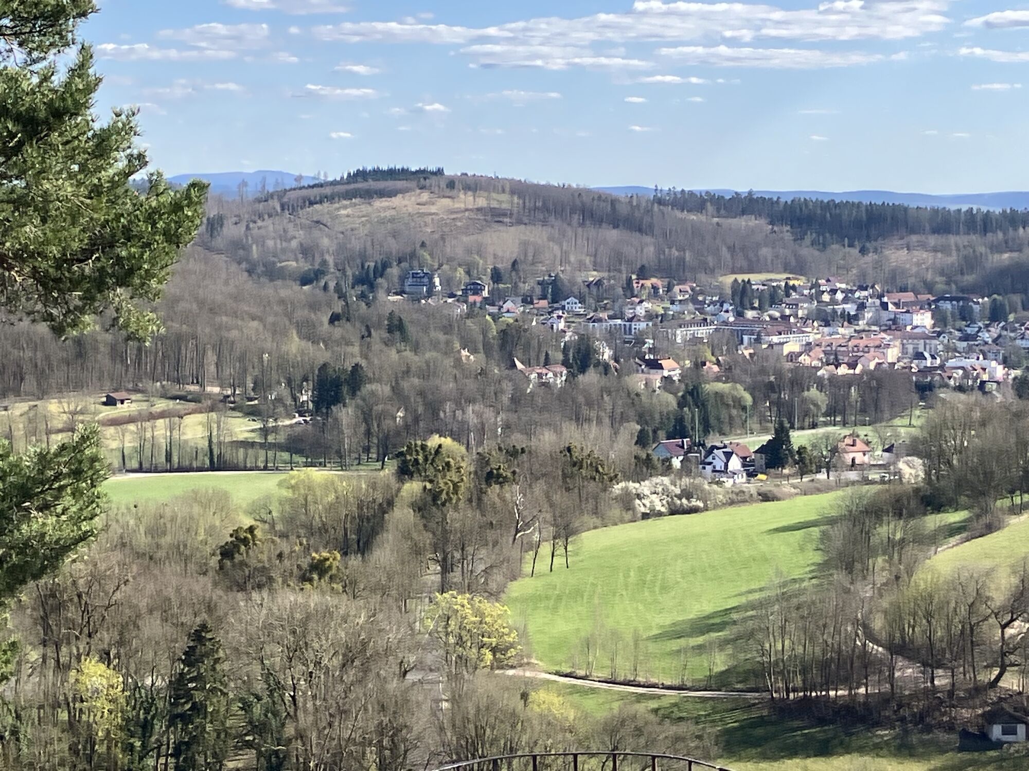
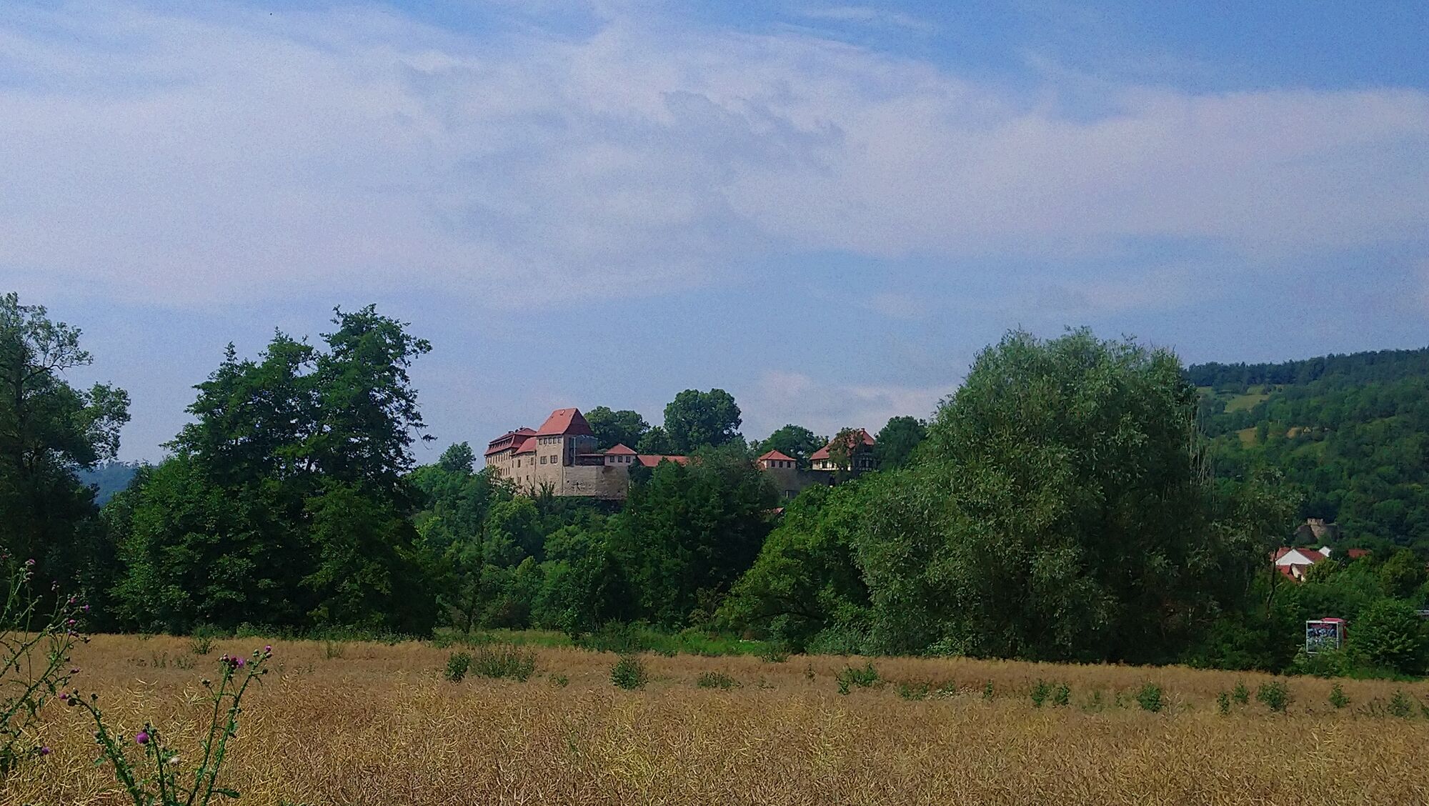
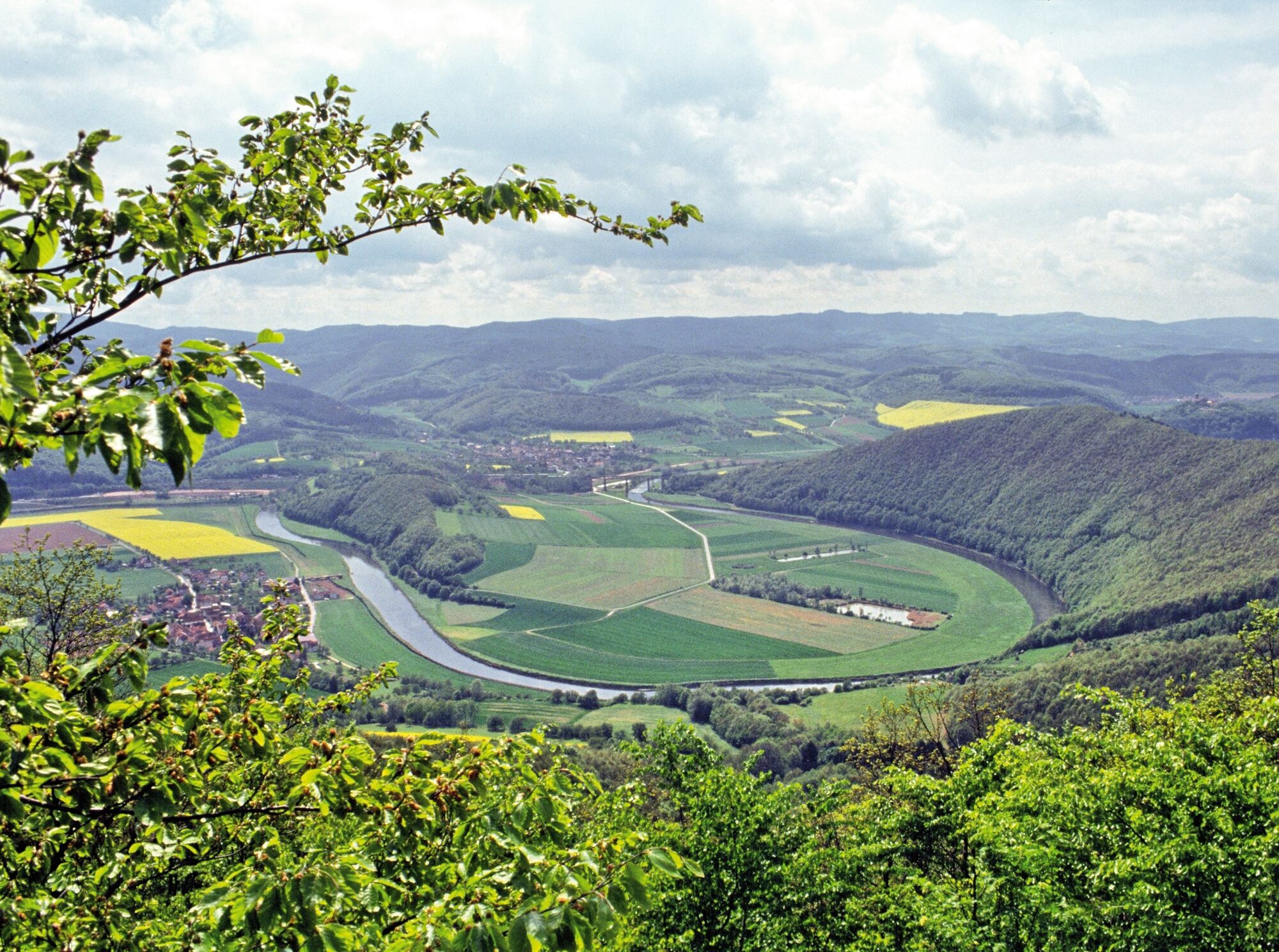
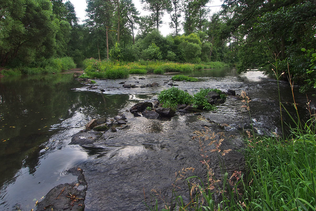
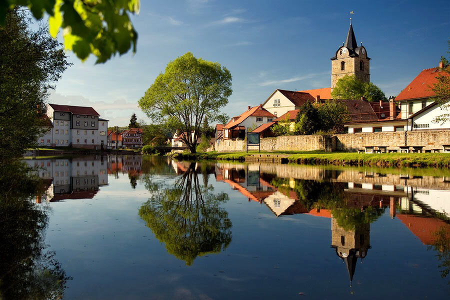
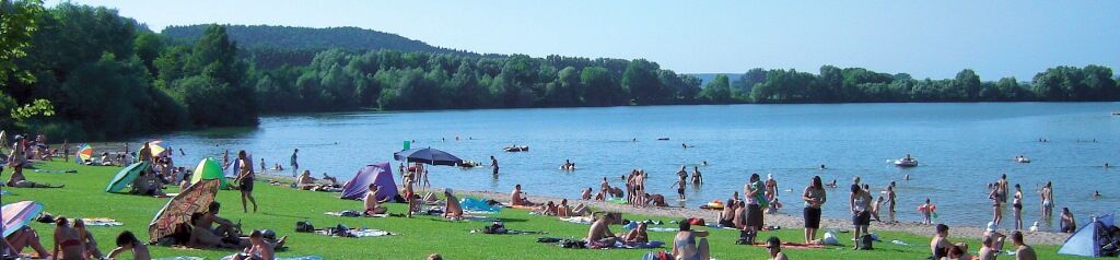
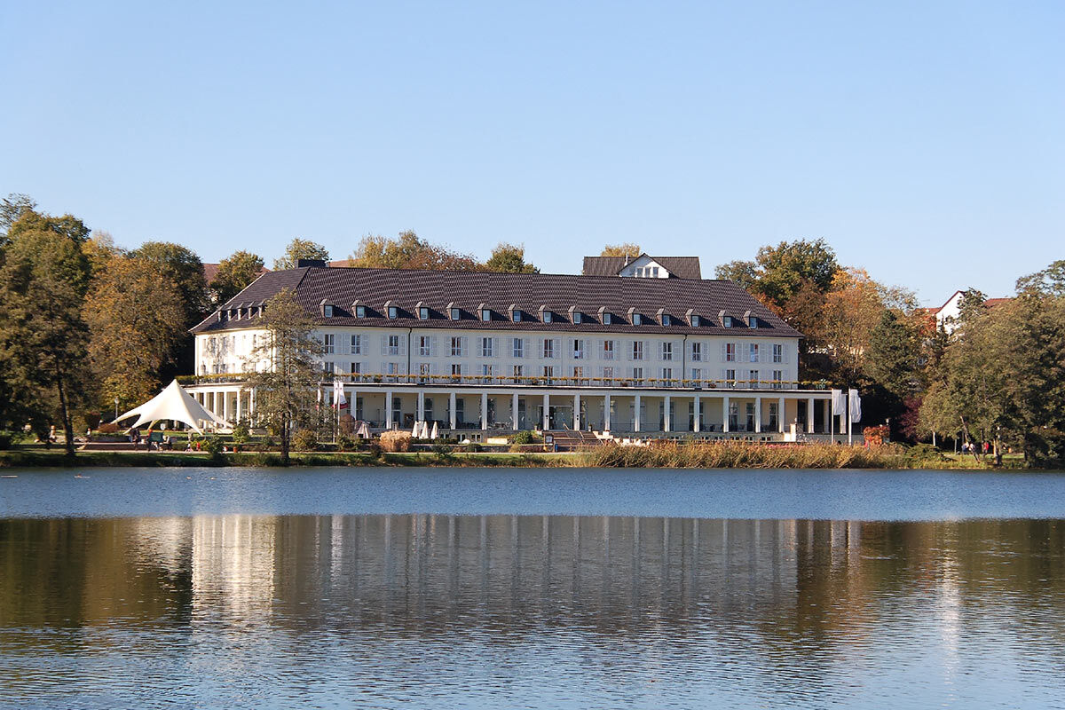
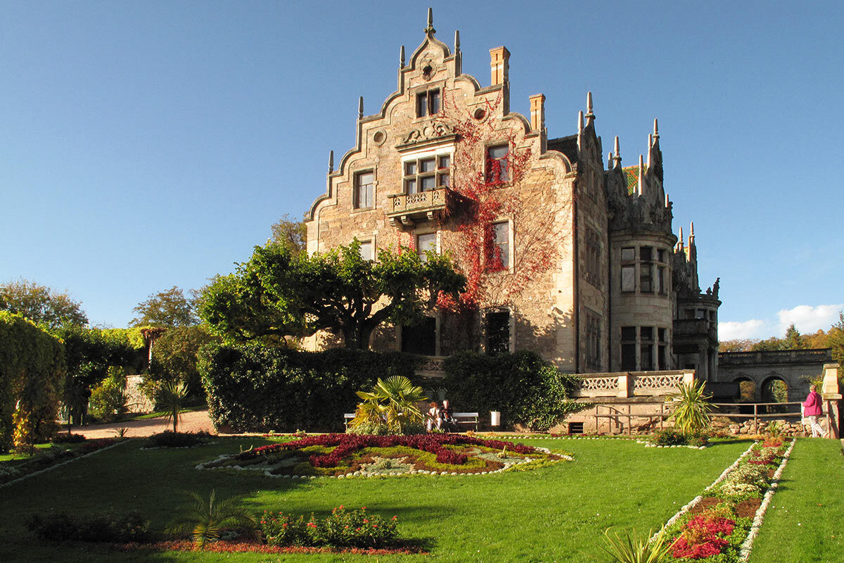
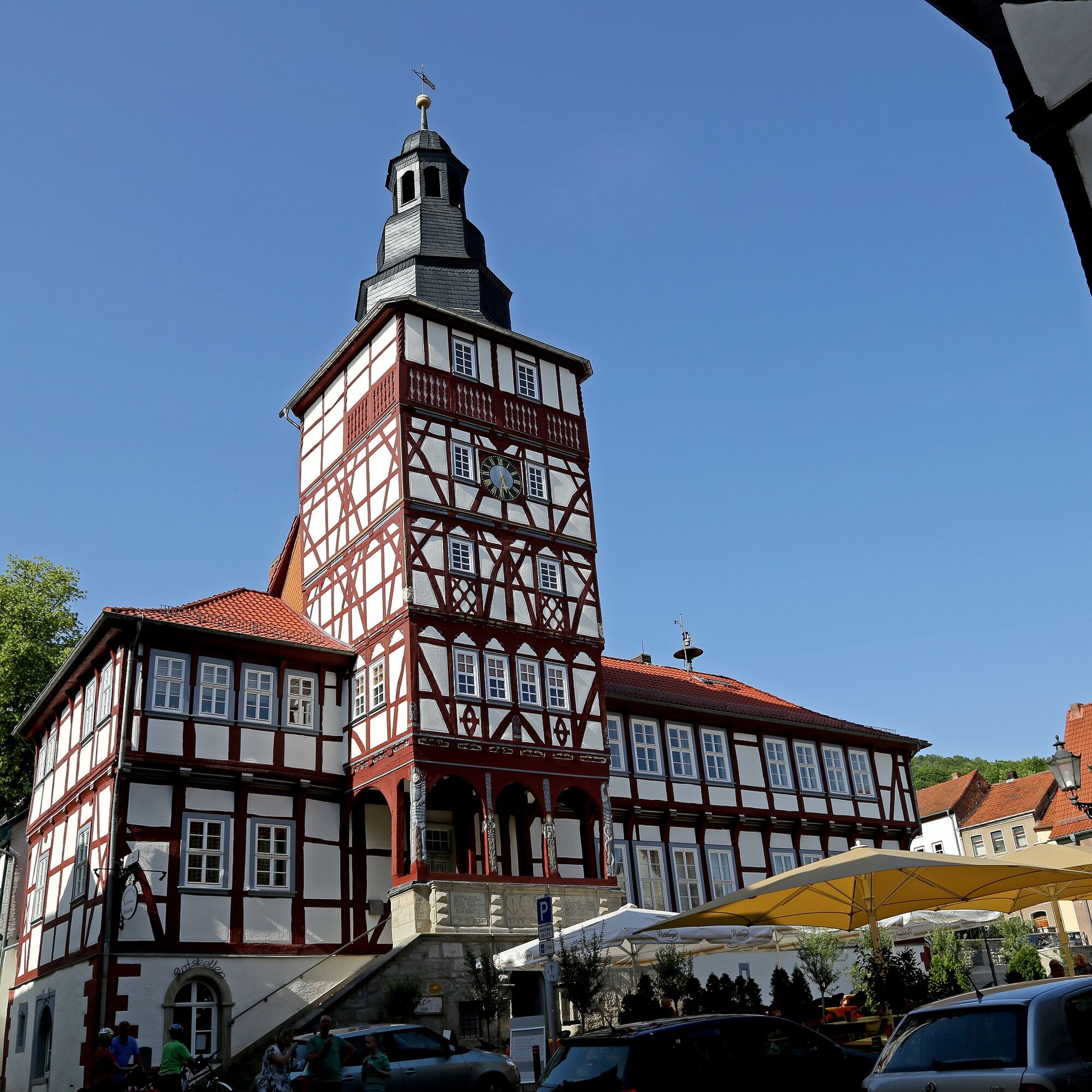
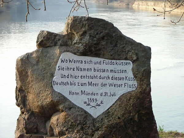
Starting in Hann. Münden, where "Werra and Fulda kiss…," the X5H runs through picturesque Lower Saxony towns and meets the first treasure in Hesse, Berlepsch Castle. Further on beautiful paths, you encounter the youth castle Ludwigstein, Rothestein Castle with magnificent views over the Werra Valley, and further castle ruins up to the popular Tannenburg. Half-timbered towns like the cherry city Witzenhausen, the spa town Bad Sooden-Allendorf and Eschwege with the Landgrave's castle offer beautiful and historic old towns alongside idyllic places and the enchanting nature park landscape between Hoher Meißner and Kaufunger Forest.
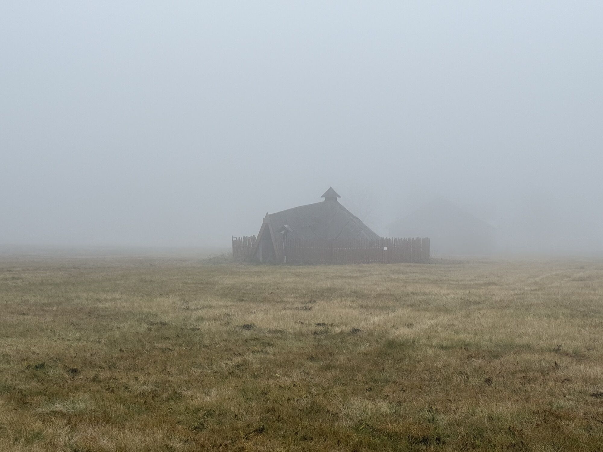
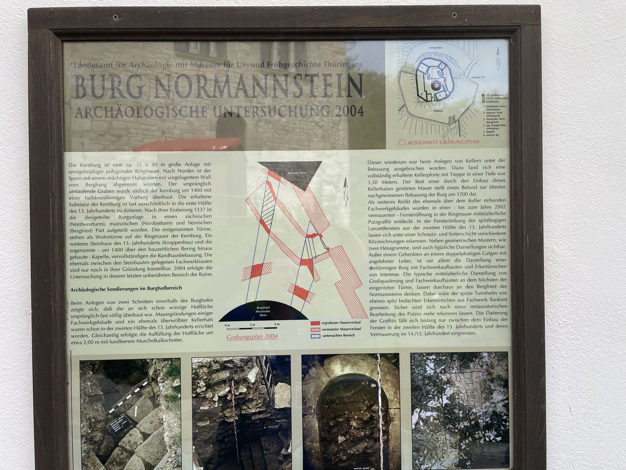
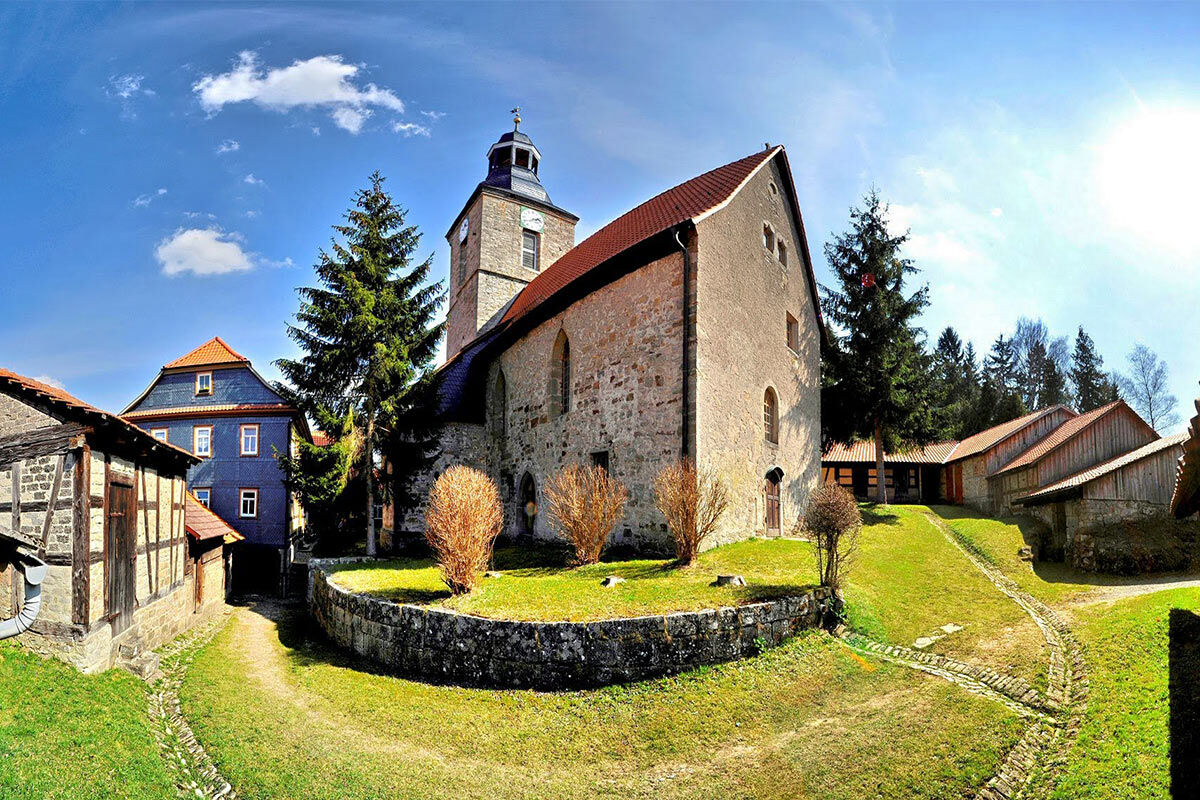
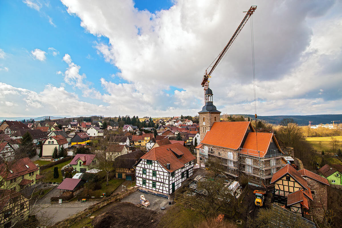
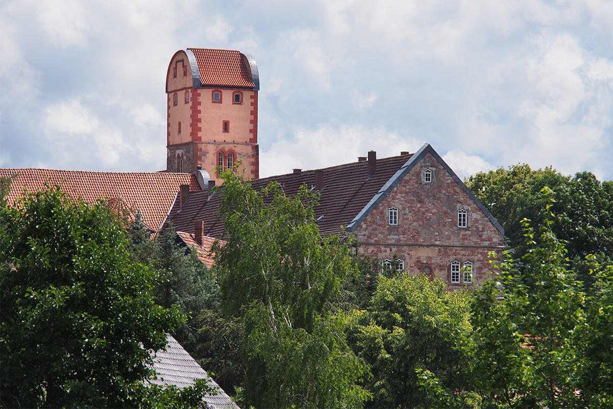
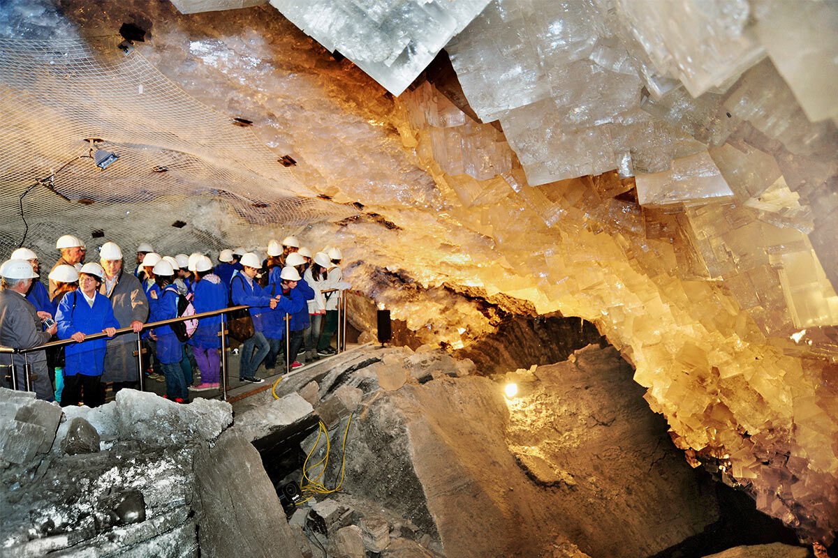
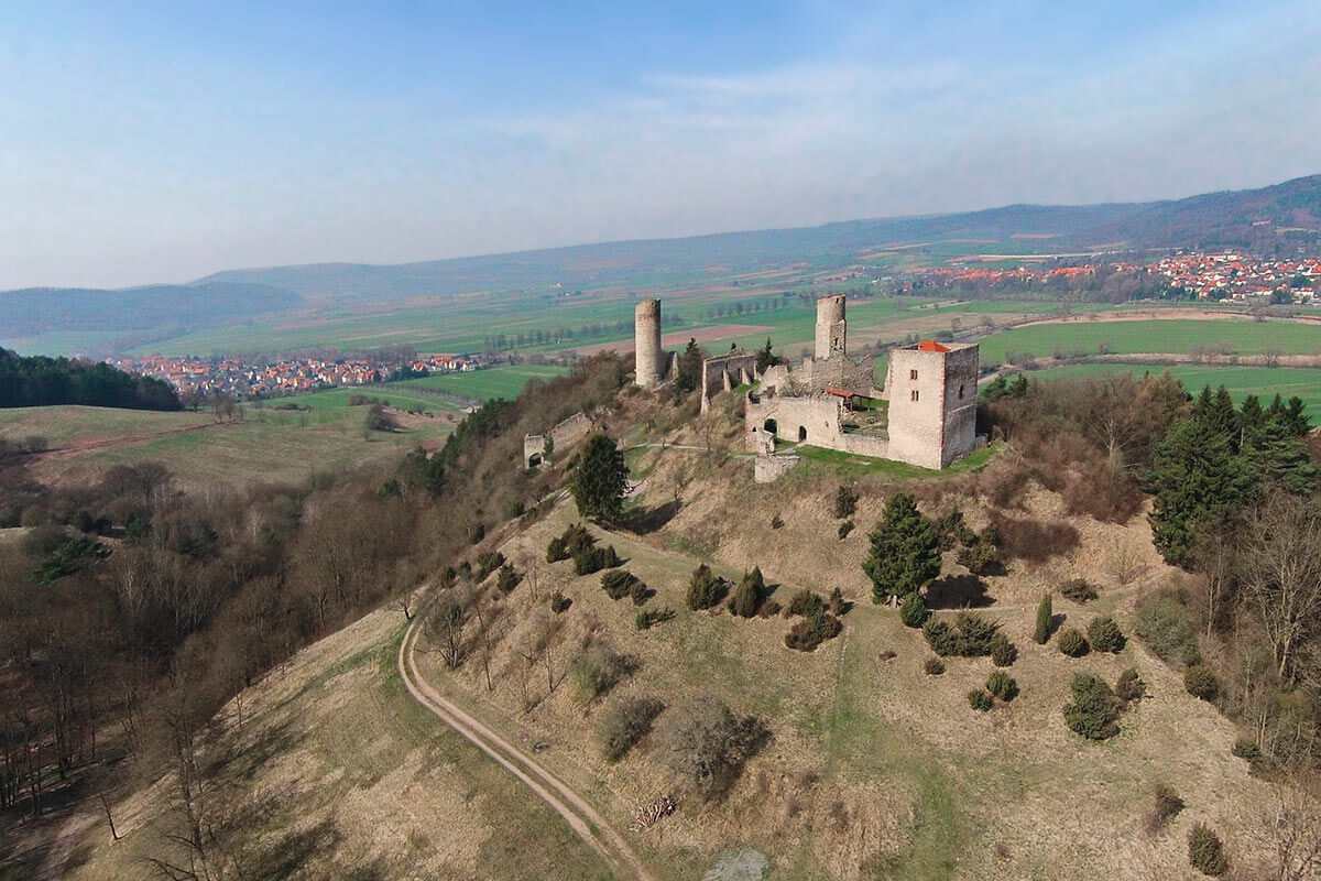
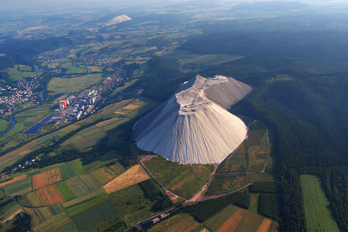
Connecting the premium hiking trails around Witzenhausen, Bad Sooden-Allendorf and Eschwege, the Werra Castle Trail is a romantic hiking path between Hanstein, Devil’s Pulpit, and Hülfensberg monastery, continuing with castle stormers from Normanstone to Creuzburg, with views of the Brandenburg castle ruin, to "Monte Kali", past Wendelstein in Vacha up to Krayenburg near Tiefenort. Then it reaches Frankenstein via Bad Salzungen, switches over to the Altenstein landscape park at Bad Liebenstein, leads over the lake-rich Breitungen up to Maienluft Castle above the carnival town Wasungen. It continues past Landsberg Castle around Meiningen, over Osterburg near Henfstädt to the basilica of Veßra monastery, and from there up to Masserberg and Siegmundsburg in the Werra source area.
Almost 500 km full of nature and culture
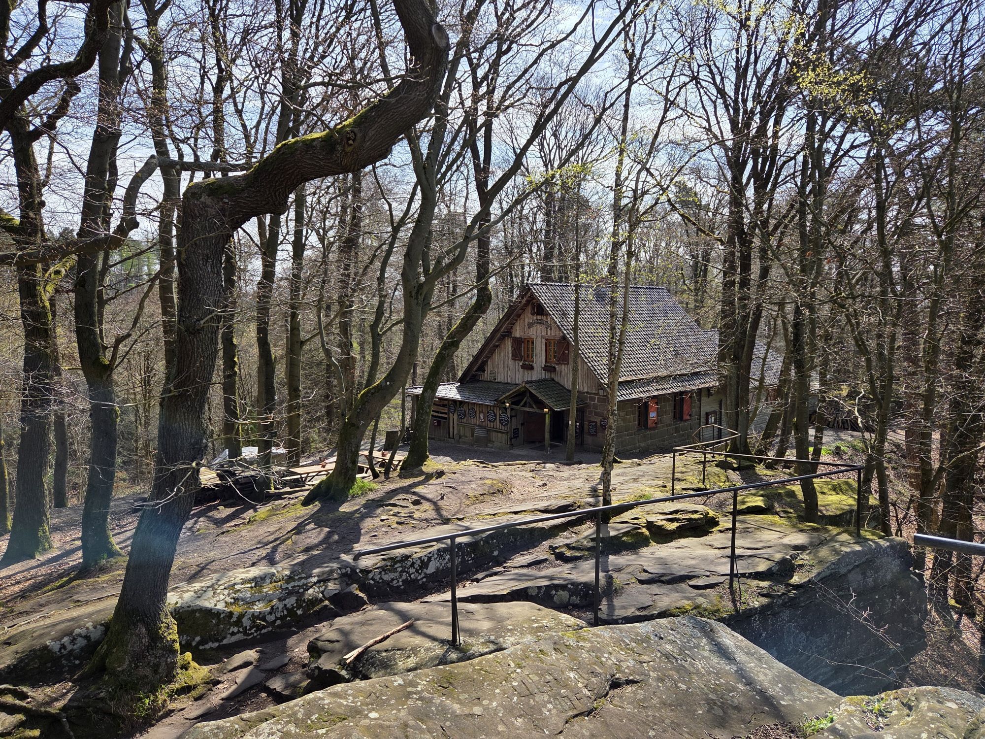
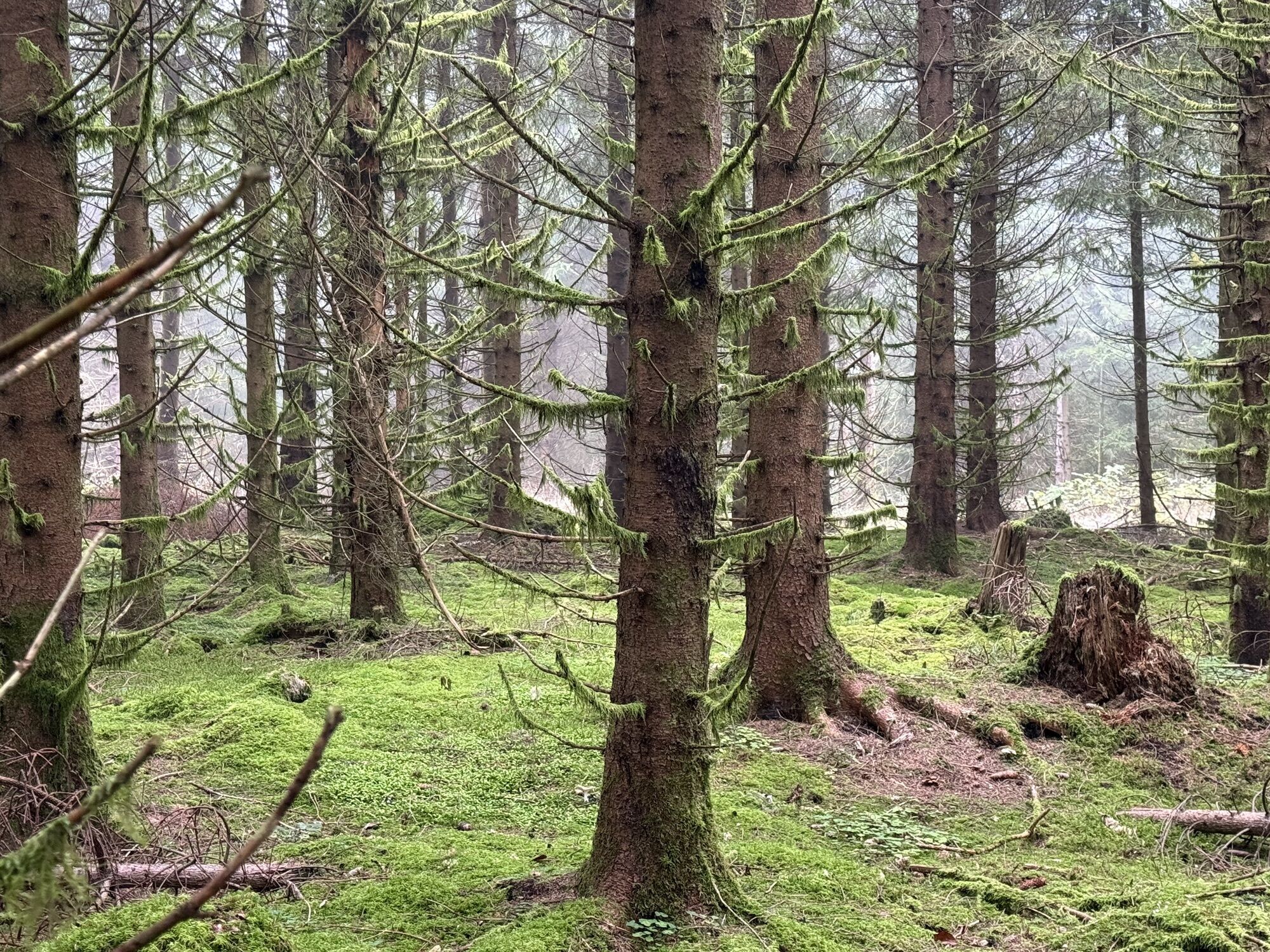
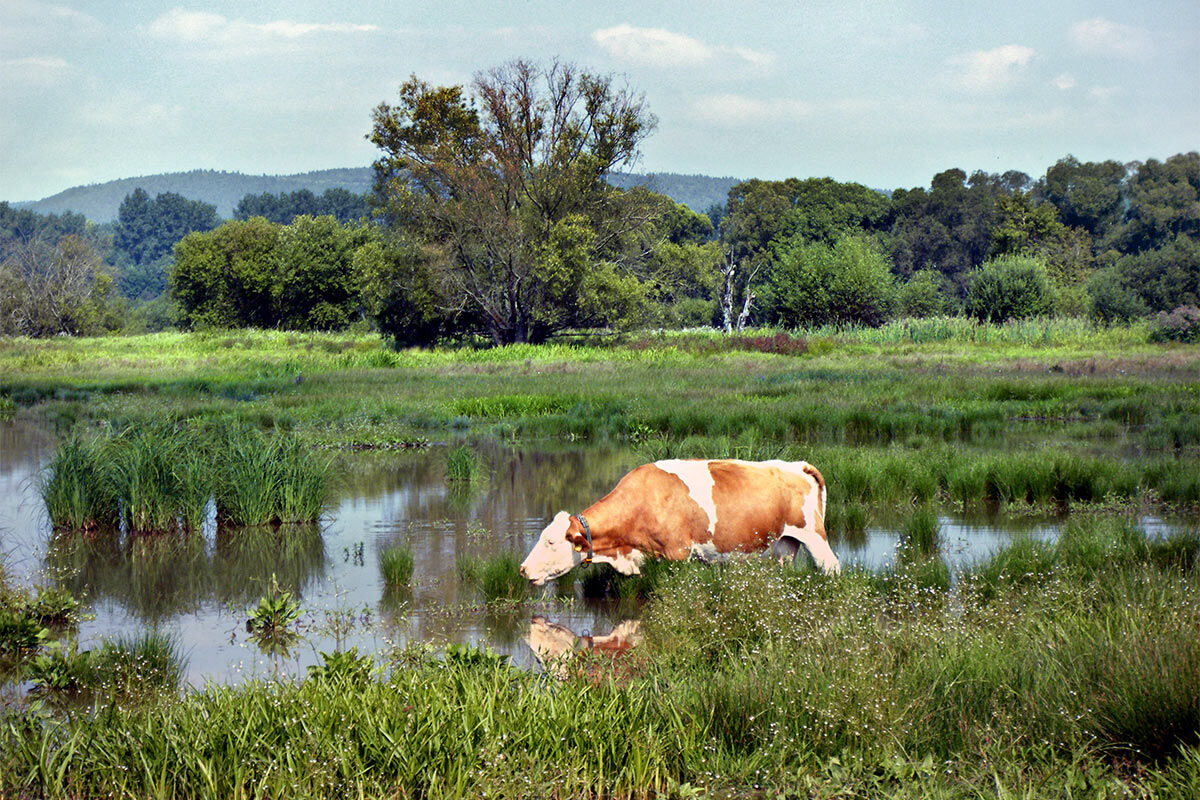
For long and short distances, loops or combination tours with bike and boat, for spring tours in the young beech greenery of Hainich and the Rhön, for cool summer hikes with rolled-up pants, for colorful autumn walks or winter hikes with snowshoes. There is much to discover: fortified churches, Franciscan monasteries, castles and palaces, knight festivals, singer wars, landscape parks and churchyard gardens, as well as good food and art along the way.
The route can be divided into a total of 17 individual stages
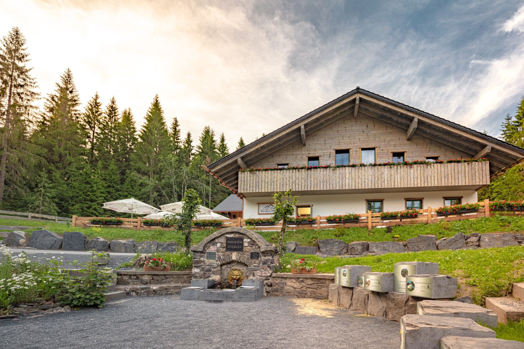
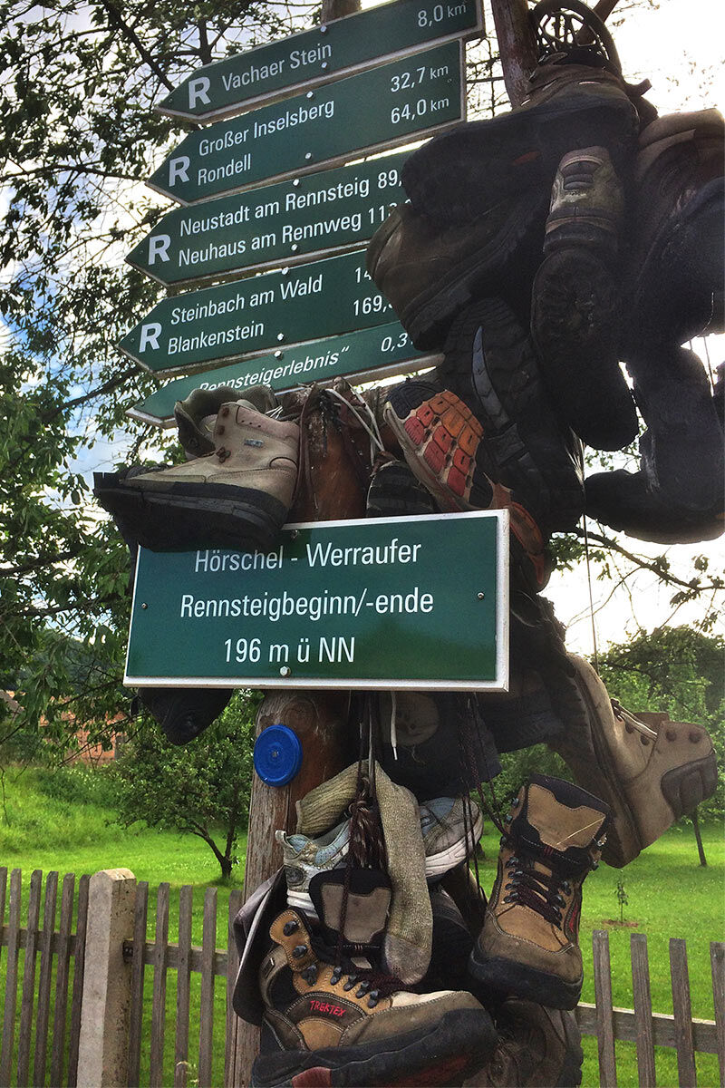
Werraquell Hut - Siegmundsburg - Eisfeld - Hildburghausen - Themar - Obermaßfeld/Grimmenthal - Meiningen - Wasungen - Breitungen/Werra - Bad Liebenstein - Bad Salzungen - Vacha - Heringen/Werra - Berka/Werra - Gerstungen - Lauchröden - Wartburg - Hörschel - Creuzburg - Treffurt - Hildebrandshausen - Döringsdorf - Kella - Bornhagen - Werleshausen - Witzenhausen - Hann. Münden
Da
Da
sturdy footwear
trekking poles
drink supply
first aid kit
rainwear
GPS navigation device or smartphone | additional battery or solar charger
Please note that the route partly runs on "real" scrambling paths and is quite demanding in sections. Most of the route runs on developed hiking trails.
Coming from the A73 take exit 5 (Eisfeld North) and continue on B281 towards Neuhaus am Rennweg. Shortly before Hirschendorf, turn left towards Waffenrod. Follow L2053 via Hinterrod / Waffenrod and Einsiedel to Fehrenbach.
You can reach Fehrenbach and thus the Werra source by bus line 209 from the direction of Eisfeld (connection to South Thuringia Railway towards Sonneberg or Eisenach). For travel planning please use the following link to the German railway planner and enter your starting point and desired travel period.
→ Arrival at Fehrenbach
Return trip to Fehrenbach:
From Hann. Münden back to Fehrenbach: travel information with public transport back to the Werra source
Alternative info to Eisfeld (nearest train connection near the tour start): Hann. Münden → Eisfeld
Use the parking options in the town (Google navigation point) or above the Fehrenbach sports center (Google navigation point).
If you want to return by public transport after your hike, it is recommended to park your own vehicle at the Eisfeld station (Google navigation point). The direct return connection there is more frequently ensured than to Fehrenbach.
T2
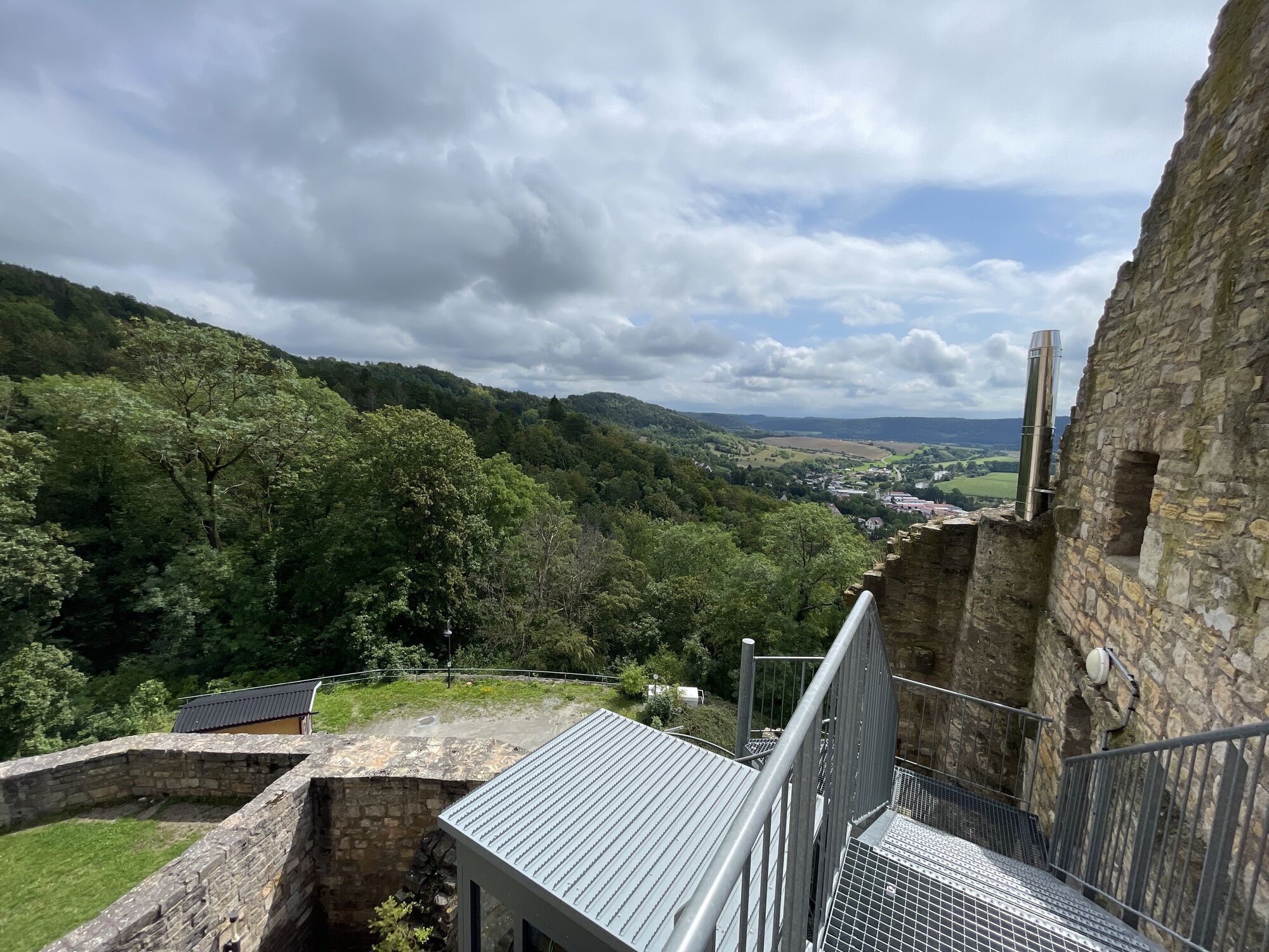
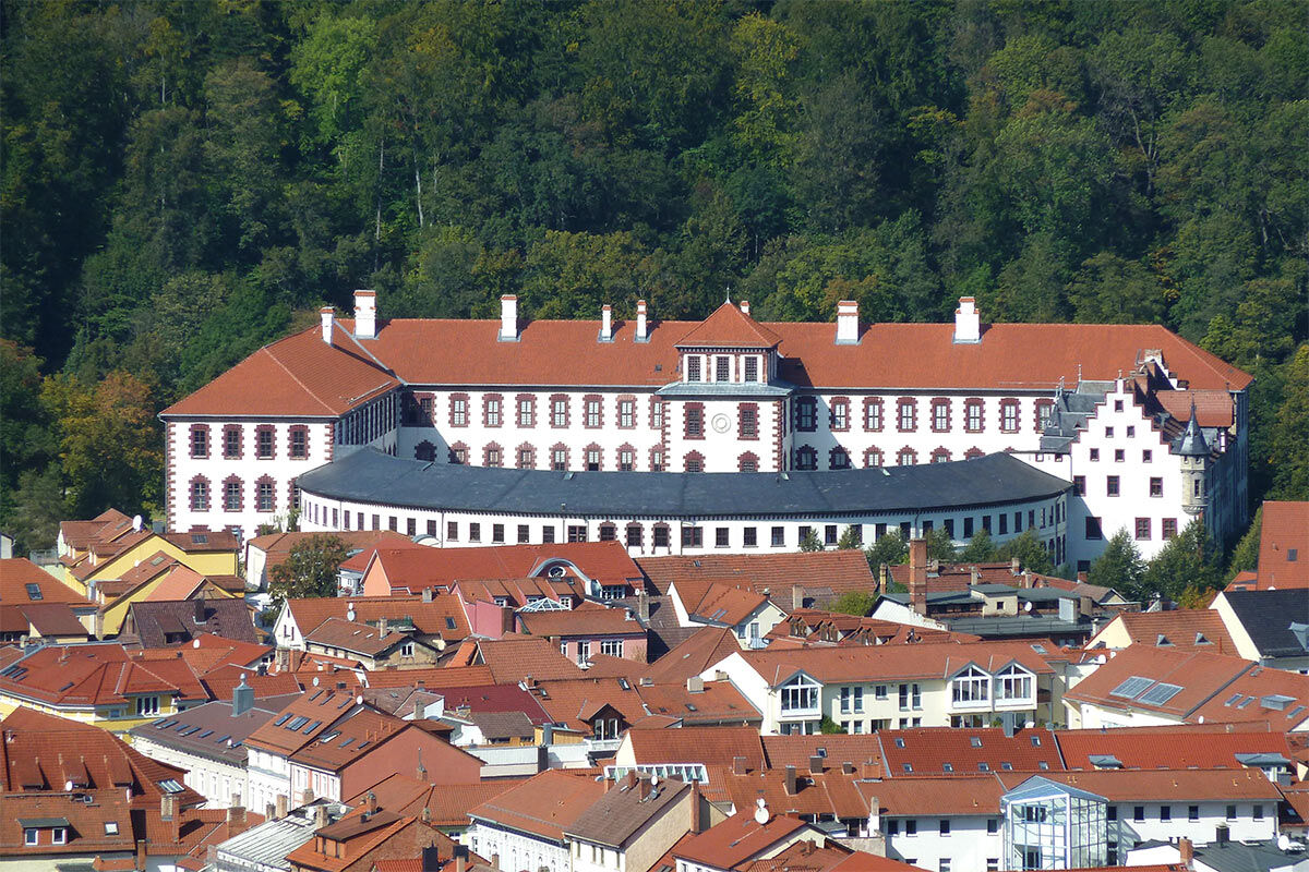
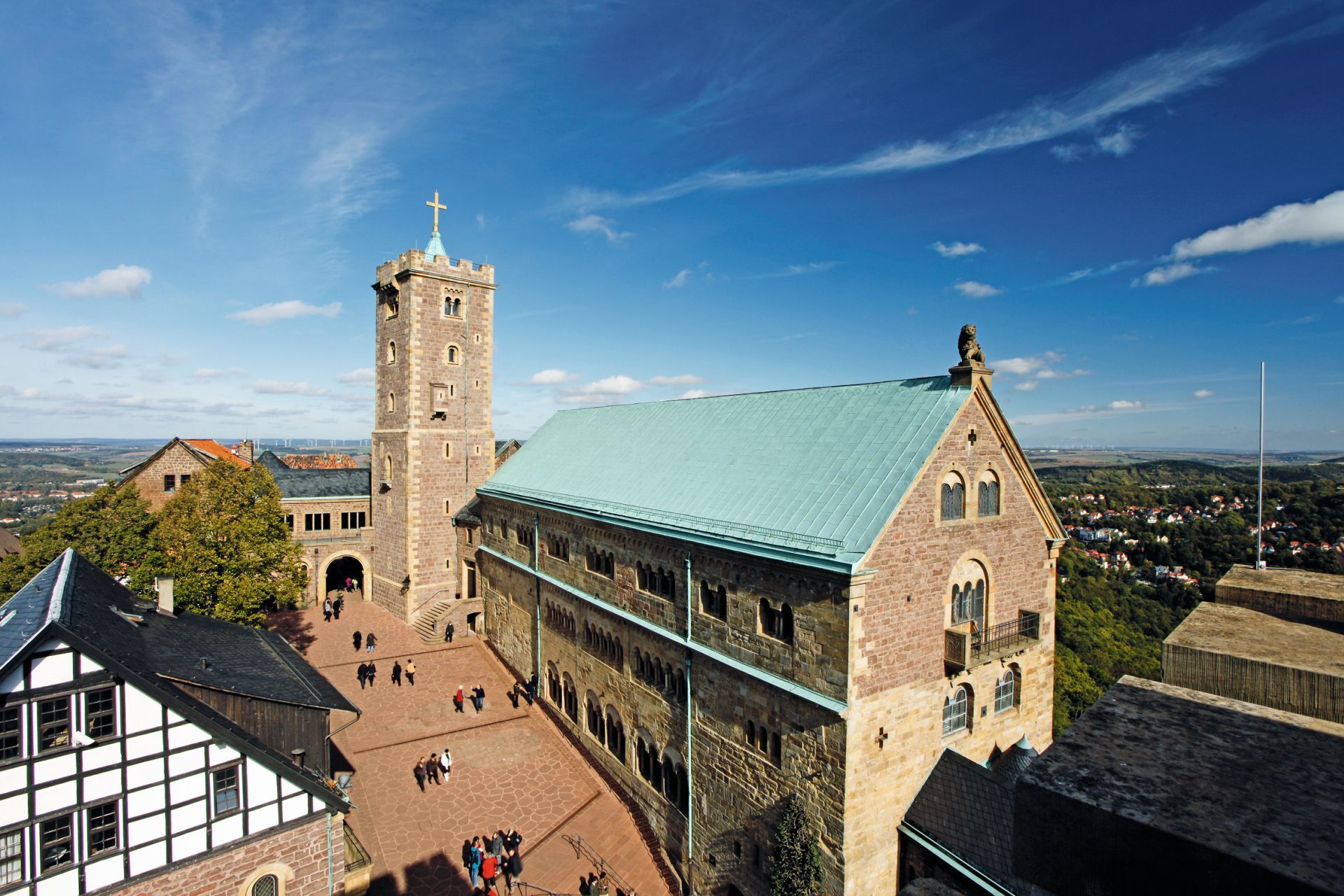
The Wartburg as the queen of all castles is a must for all Werra Castle Trail hikers!
Priljubljeni izleti v okolici
- 5.0
EA1 - Circular route - Gorge tour near Eisenach - Thuringian Forest
srednjaPohodništvo 9.68 km - 4.7
IVV PW + GTW "In Luther's footsteps - Luther, dragons, landgraves, rose miracle..."
srednjaPohodništvo 15.8 km - 3.7
EA2 - circular hiking route - "The Beauties of Eisenach" - Thuringian Forest
srednjaPohodništvo 9.96 km - 5.0
Wartburg und Drachenschlucht
srednjaPohodništvo 15.1 km - 4.8
Hike - "Rennsteig-Leiter Eisenach" Thuringian Forest
srednjaPohodništvo 3.58 km - 4.5
Circular hike - Legendary Hörselberge - Great Hörselberg near Eisenach - Thuringian Forest
srednjaPohodništvo 10.6 km - 5.0
Circular route 3 - Mariental/Drachenschlucht/Elfengrotte
srednjaPohodništvo 3.54 km Tabarzer Vulkansteig
srednjaPohodništvo 9.91 km- 3.2
Von Friedrichroda zum großen Inselsberg
srednjaPohodništvo 22.4 km - 4.5
Circular hiking trail - "Trusetal Landmark Route" - Thuringian Forest
svetlobaPohodništvo 4.02 km
Pohodništvo in sledenje


Ne zamudite ponudb in navdiha za naslednje počitnice
Vaš e-poštni naslov je bil dodan na poštni seznam.