


Cycle route - Neustadt am Rennsteig - Ilmenau - Thuringian Forest
Stopnja težavnosti: 2
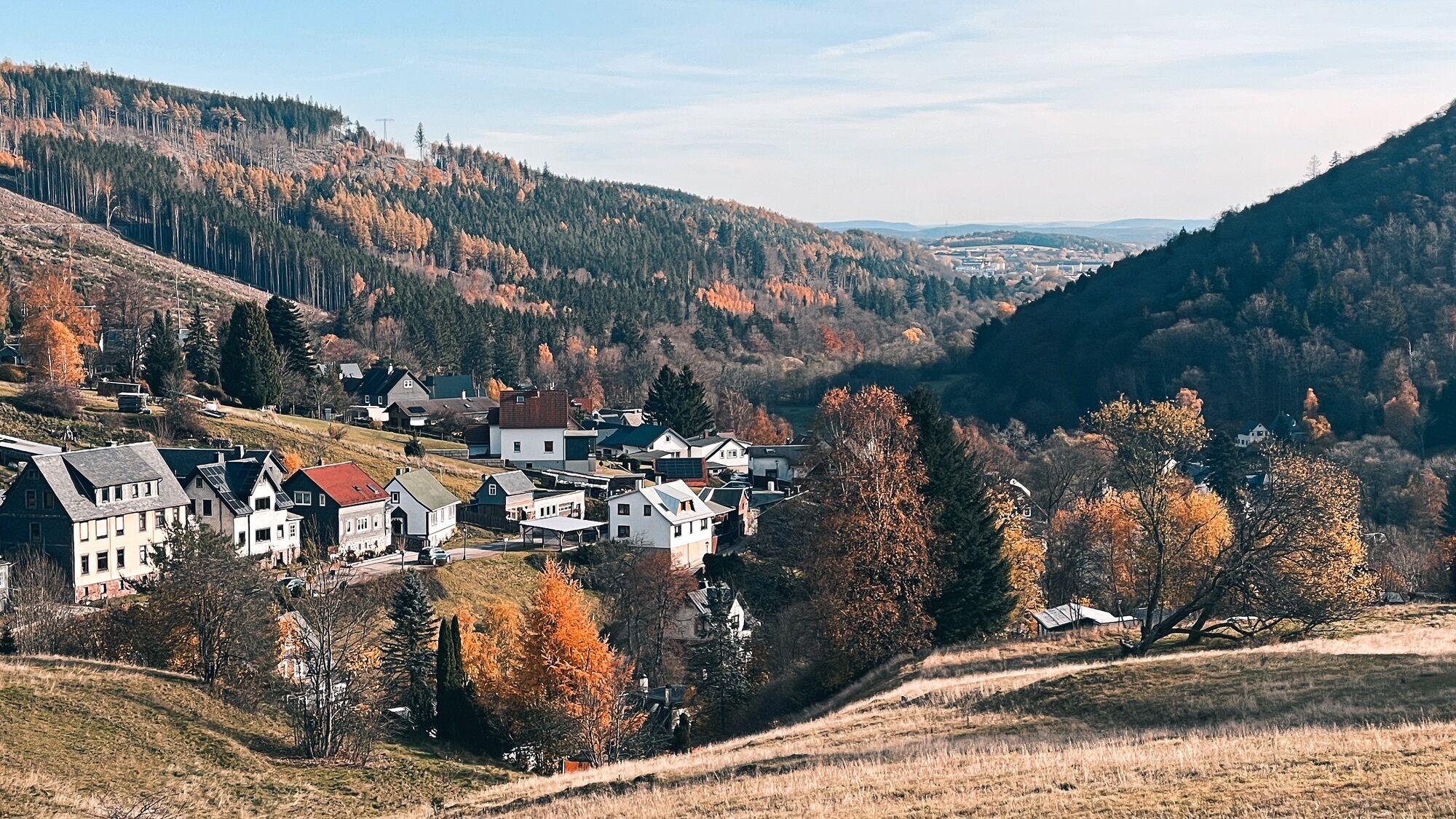
Start in the town center of Neustadt am Rennsteig and follow the Rennsteig cycle route to Allzunah (7.5 km). There, turn right and cycle downhill on the Ilm Valley cycle route through Stützerbach, Manebach...
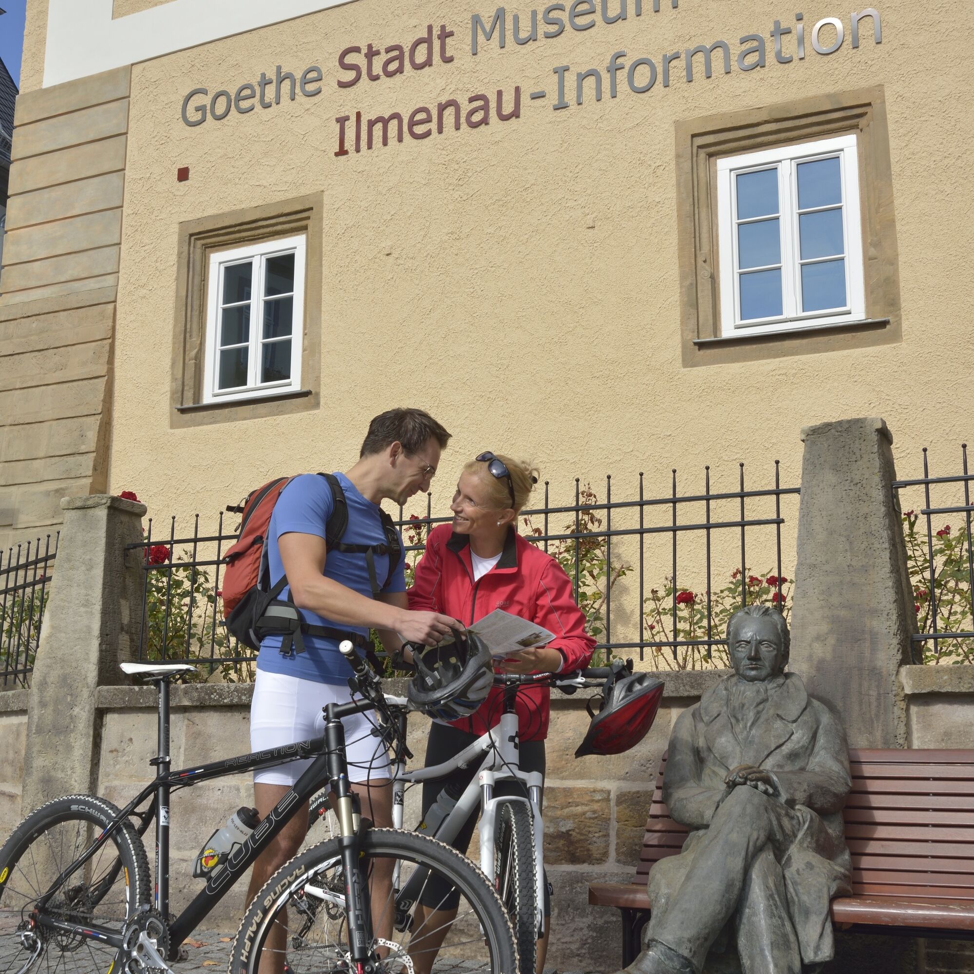
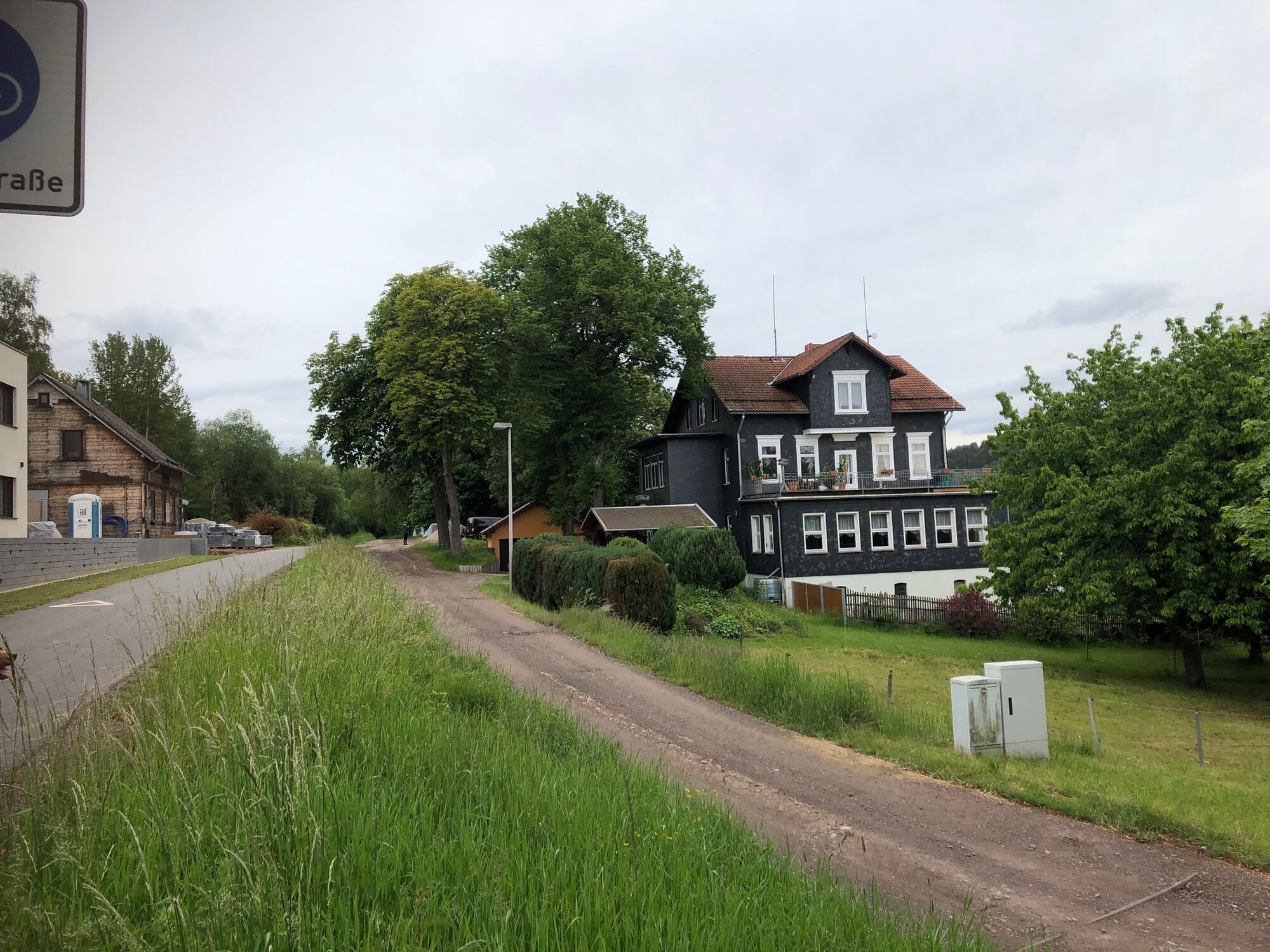
Start in the town center of Neustadt am Rennsteig and follow the Rennsteig cycle route to Allzunah (7.5 km). There, turn right and cycle downhill on the Ilm Valley cycle route through Stützerbach, Manebach to the university and Goethe city of Ilmenau. After your exploration tour through the city center of Ilmenau (individually), continue on the Ilm Valley cycle route to Langewiesen. There, please turn right onto the Ilm-Rennsteig cycle route. This then leads you to Gehren. Passing the castle ruins, the old railway track (which has been developed as a cycle route) goes uphill towards the Rennsteig. Past the village of Möhrenbach you reach the Hohe Tanne. There, turn right again and follow the Ilm-Rennsteig cycle route further through the beautiful forests past the quarry and Höllteich back to Neustadt am Rennsteig.
(Every village has a bus connection back to the starting point!)

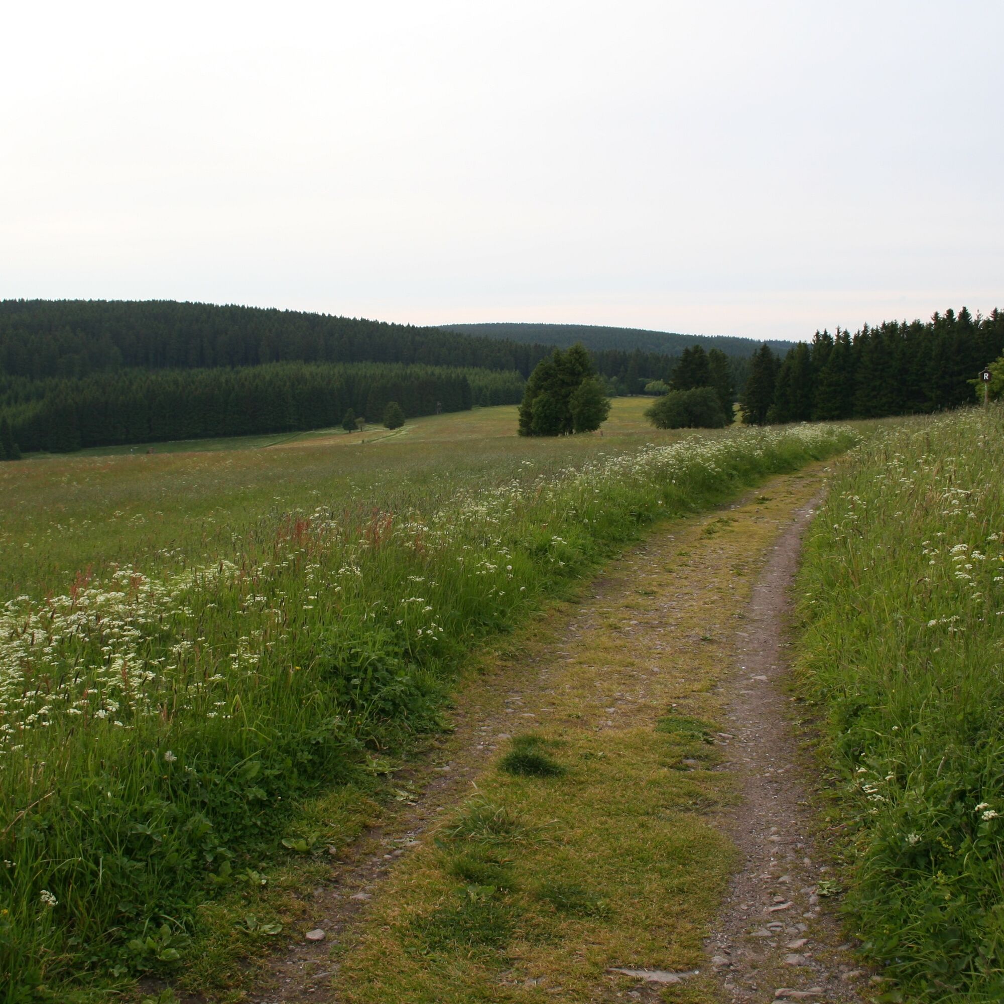
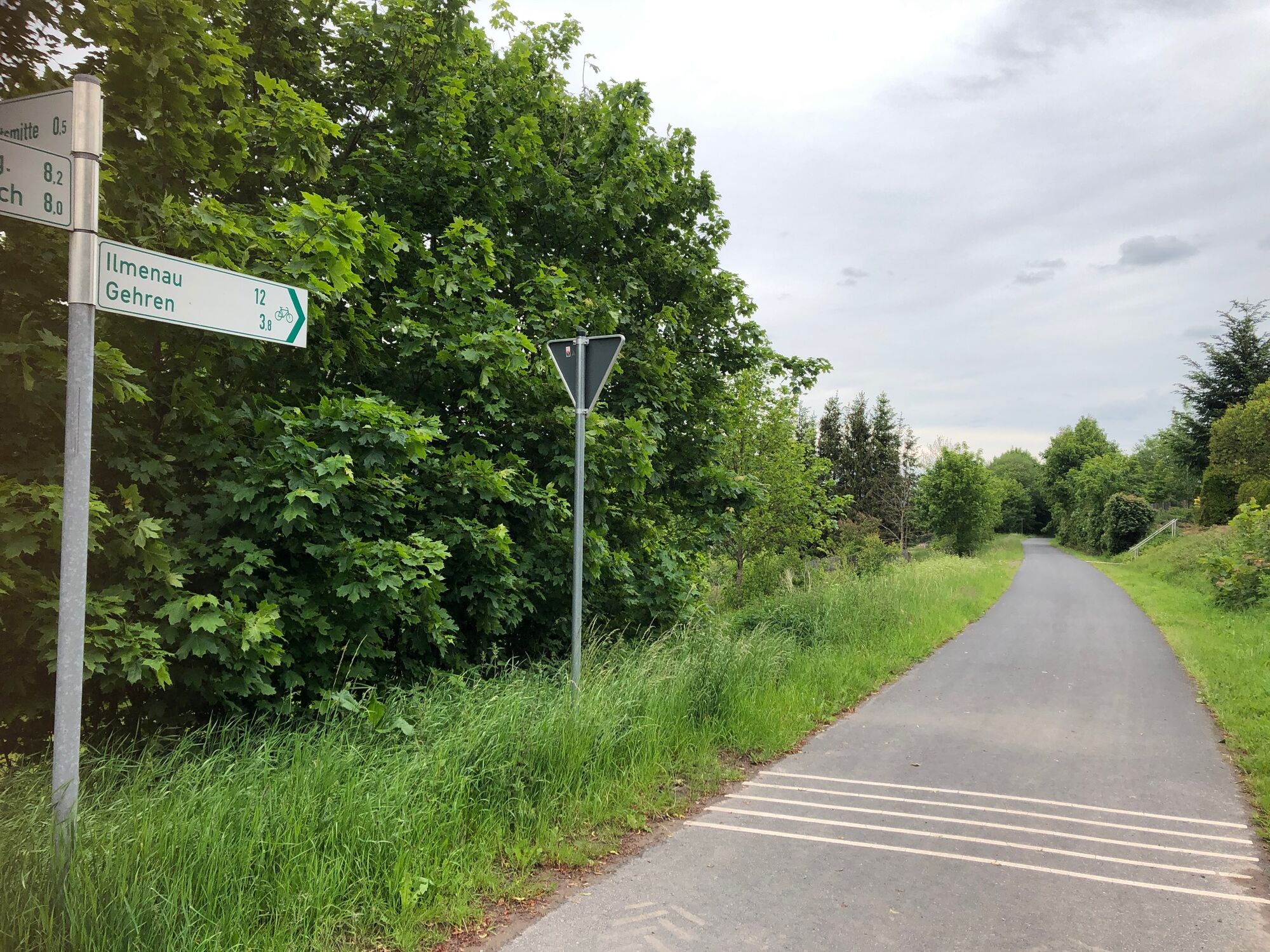
Neustadt am Rennsteig - Rennsteig cycle route - Allzunah - Ilm Valley cycle route - Stützerbach - Manebach - Ilmenau - Langewiesen - Ilm-Rennsteig cycle route - Gehren - Möhrenbach - Hohe Tanne - Neustadt am Rennsteig
Da
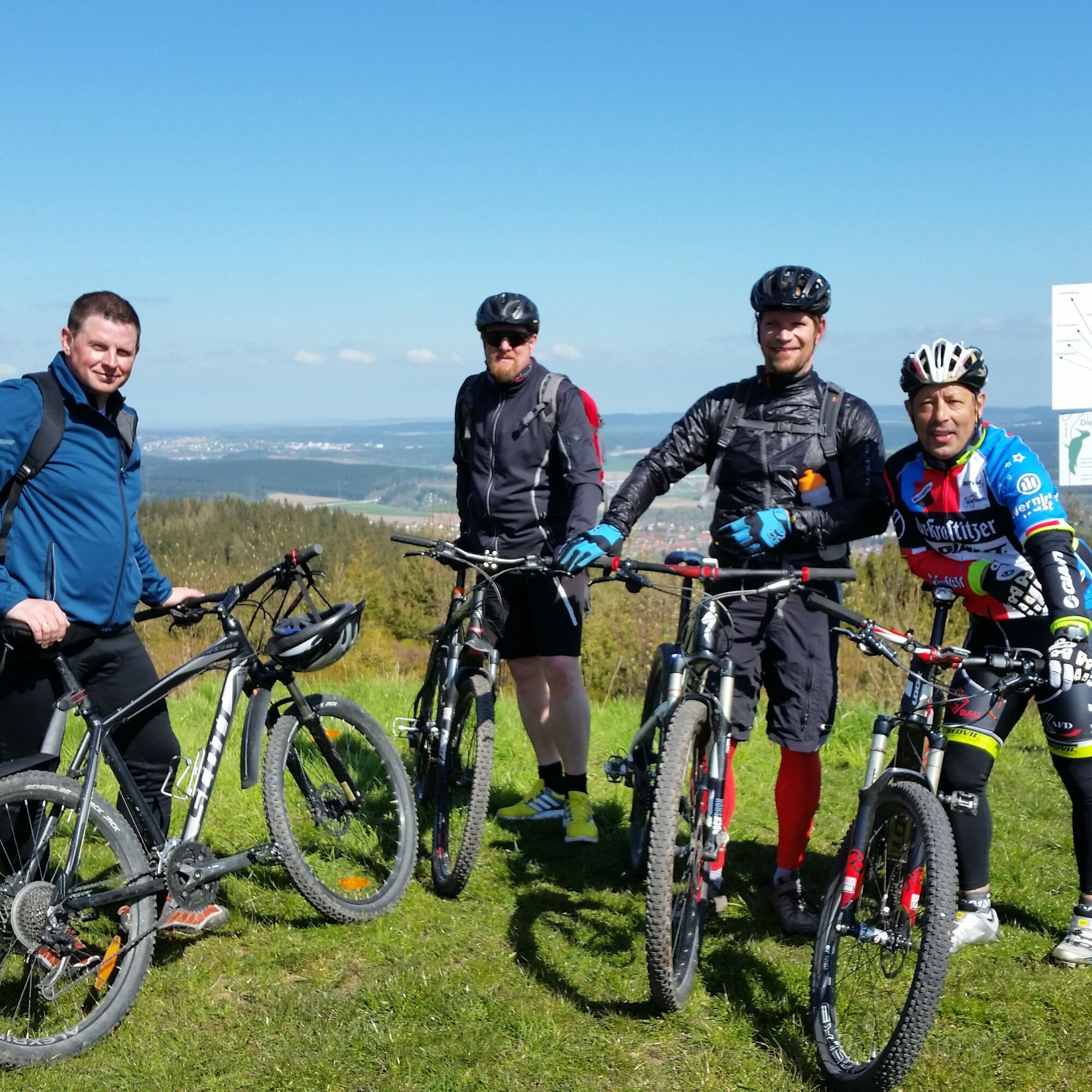
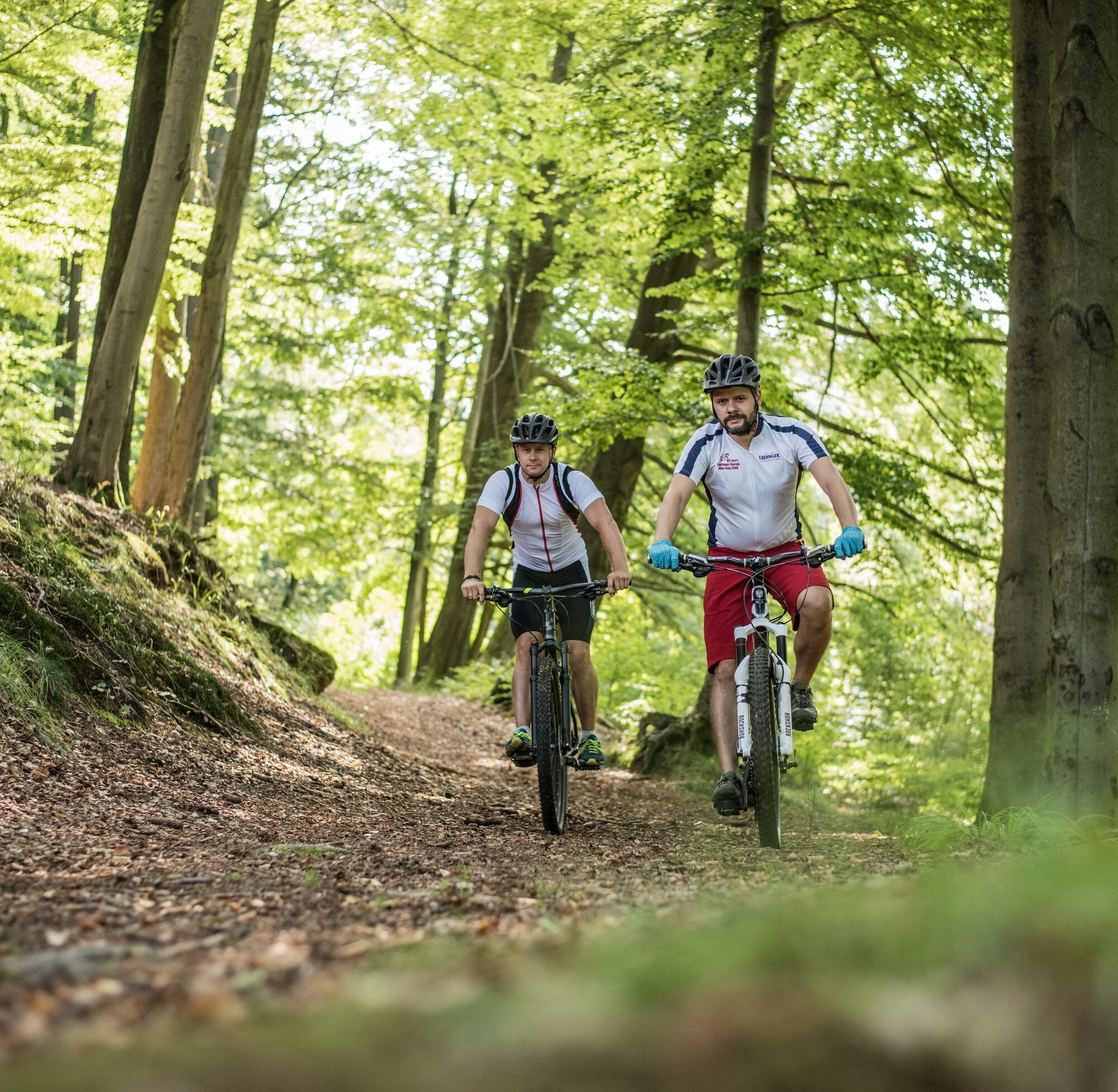
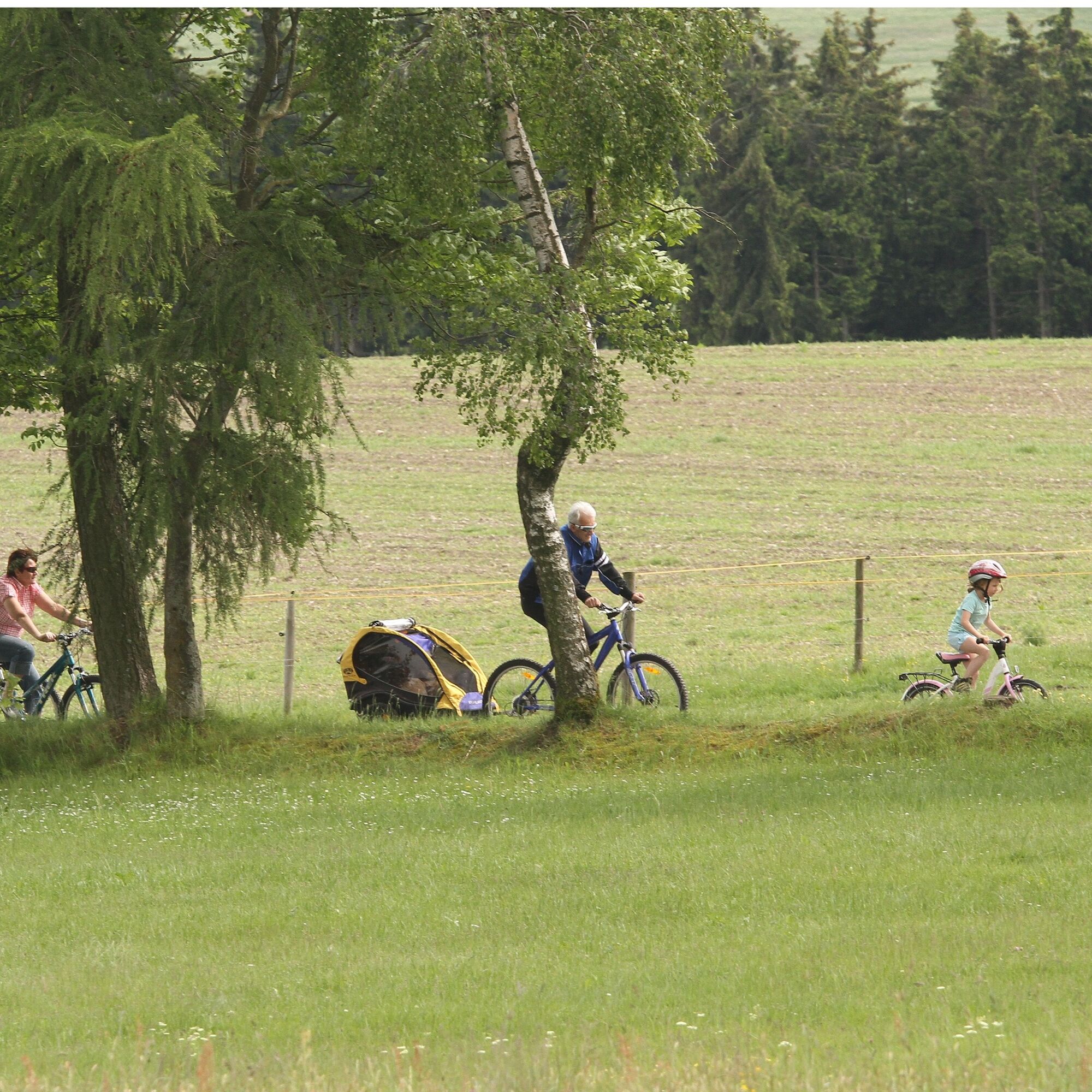
Touring bike, mountain bike, e-bike
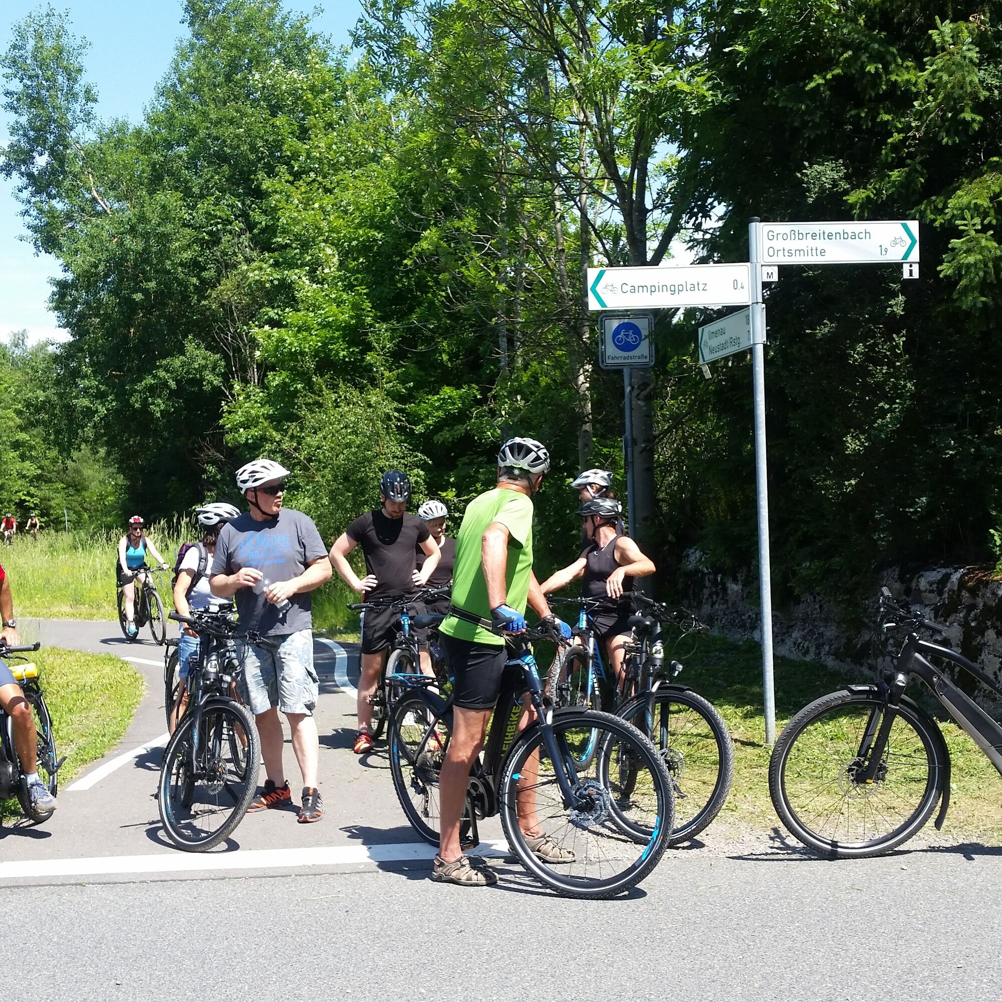
Always pay attention to the traffic safety of your bike. The cycle route partly runs on public roads. Watch out for other road users and ride cautiously!
Especially in the hot summer months, always carry something to drink to prevent dehydration. A sunscreen with a high SPF is also recommended.
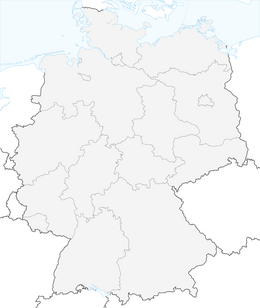
North arrival:
via A71 exit Ilmenau West, directly 16 km to Neustadt am Rennsteig
via A71 exit Ilmenau East, 19 km via Gehren and Möhrenbach to Neustadt am Rennsteig
South arrival:
via A73 exit Eisfeld North, 20 km via Waffenrod-Hinterrod and Masserberg
via A71 Suhl / Zella-Mehlis, 30 km via Suhl and Schmiedefeld am Rennsteig
You can reach Ilmenau with the trains of Deutsche Bahn and Erfurt Bahn.
For detailed travel information please use the travel portal of Deutsche Bahn.
Bus line 304 from Ilmenau to Neustadt am Rennsteig (daily)
Bus line 209 from Eisfeld via Masserberg to Neustadt and back (daily)
Parking lot at the Rennsteig information (around the community center "Kammweg" Neustadt am Rennsteig) (Google NAV point)
2
worth visiting:
Rennsteig Museum Neustadt am Rennsteig
GoetheStadtMuseum Ilmenau
Schlittenscheune Ilmenau
Heinse House Langewiesen
Priljubljeni izleti v okolici
-
4.4
Circular route - Around the Heyda Dam - Thuringian Forest
srednjaPohodništvo 7.59 km -
5.0
Naturlehrpfad Gießübler Schweiz
srednjaPohodništvo 7.99 km -
3.0
Circular hike - "4 ponds hike" Neustadt am Rennsteig - Thuringian Forest
težkoPohodništvo 12.6 km -
3.8
Rundweg Talsperre
srednjaKolesarjenje 14.5 km -
The Rennsteig - long-distance hiking trail from Hörschel to Blankenstein - Thuringian Forest
težkoPohodništvo v daljavo 169.0 km -
4.5
Hike over the Rennsteig & the Schneekopf to the Schmücke
težkoPohodništvo 20.9 km -
5.0
Circular hiking route - TOP 1 - Werra Source - Masserberg - Thuringian Forest
srednjaPohodništvo 5.94 km -
5.0
Hiking - Summit hiking trail - Suhl-Goldlauter - Thuringian Forest
težkoPohodništvo 32.1 km -
Circular hike - Around the Schönbrunn reservoir - Thuringian Forest
srednjaPohodništvo 15.6 km -
5.0
Circular Hiking Route - Lütsche-Flößgraben - Thuringian Forest
težkoPohodništvo 13.8 km

Pohodništvo in sledenje


Ne zamudite ponudb in navdiha za naslednje počitnice
Vaš e-poštni naslov je bil dodan na poštni seznam.