



Panorama route to the roof of the Thuringian Forest by route sponsor Ronny Eckhardt

Stopnja težavnosti: S1
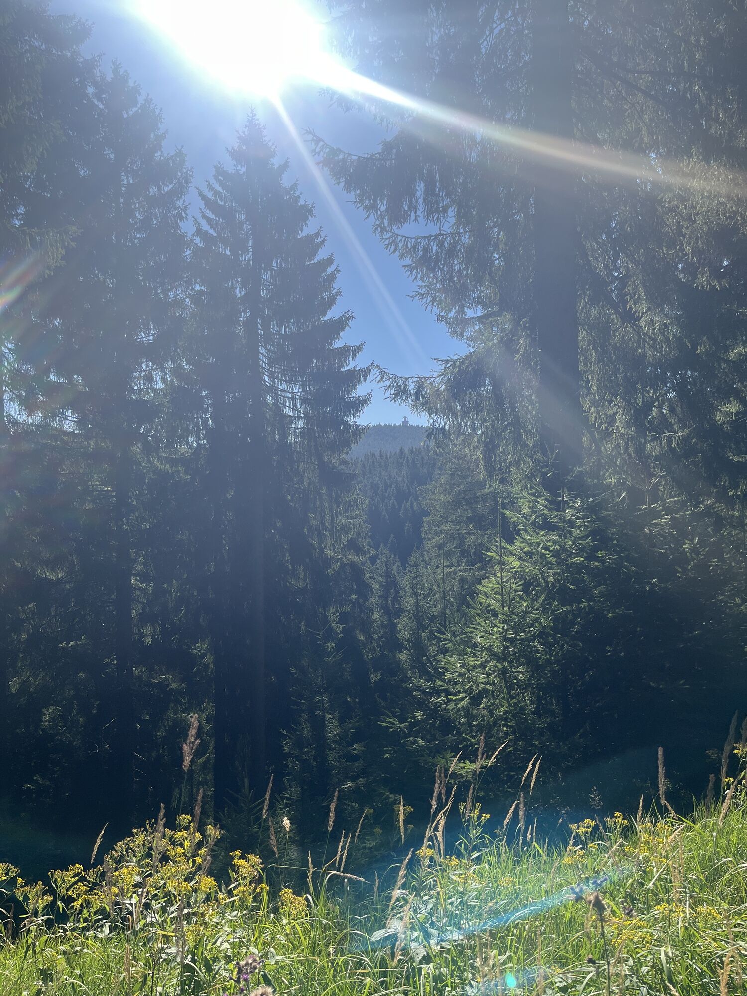


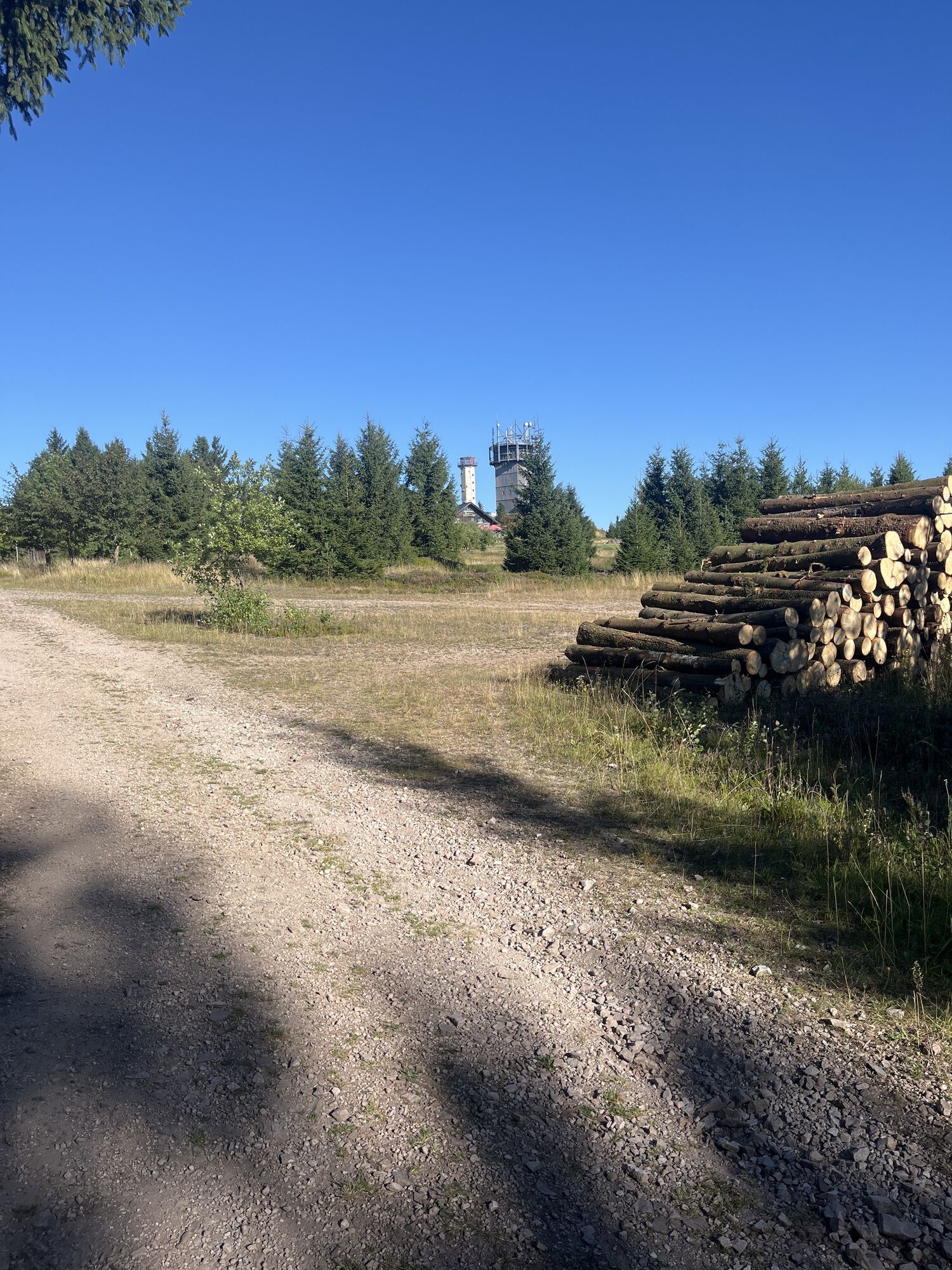
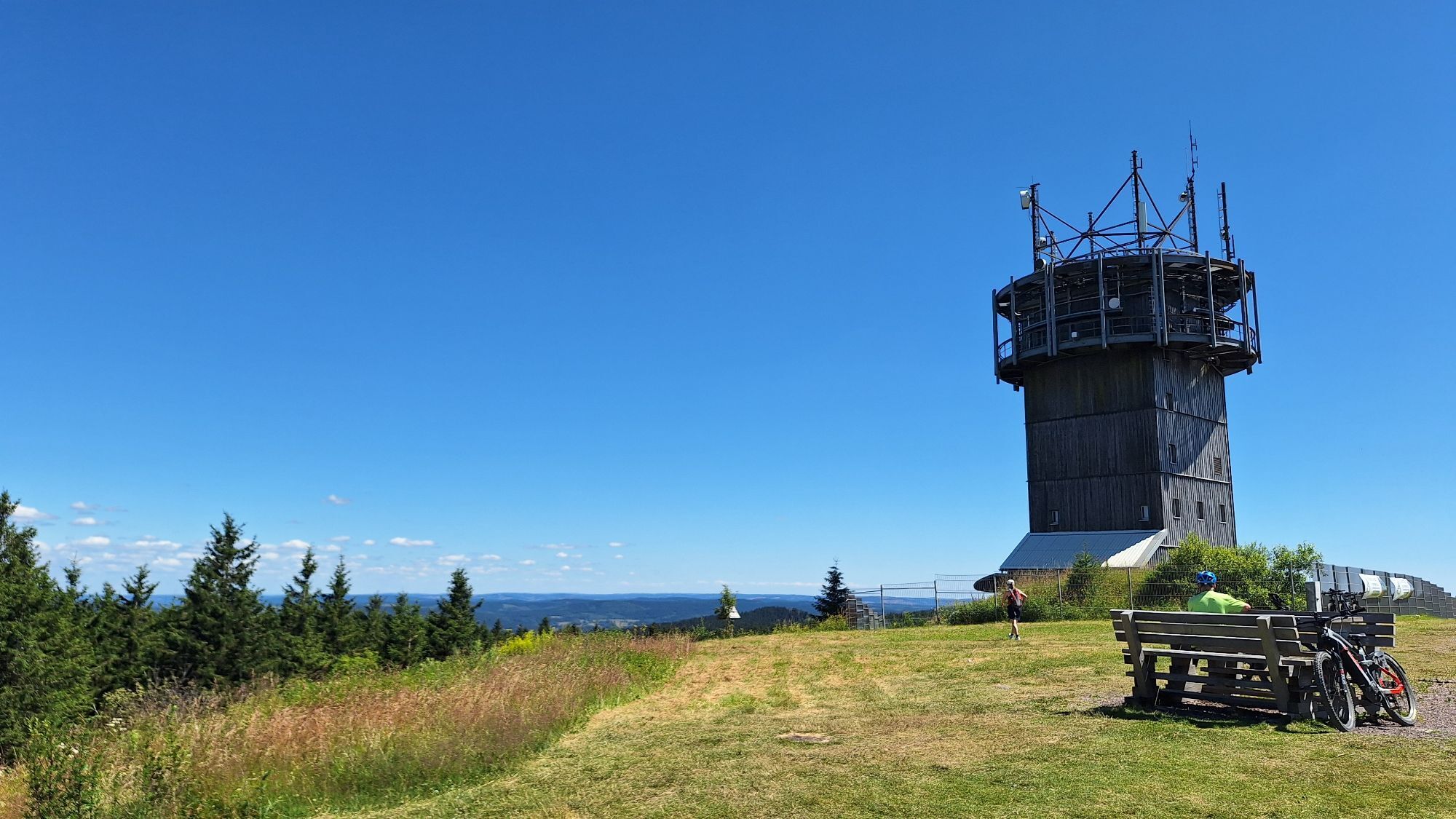
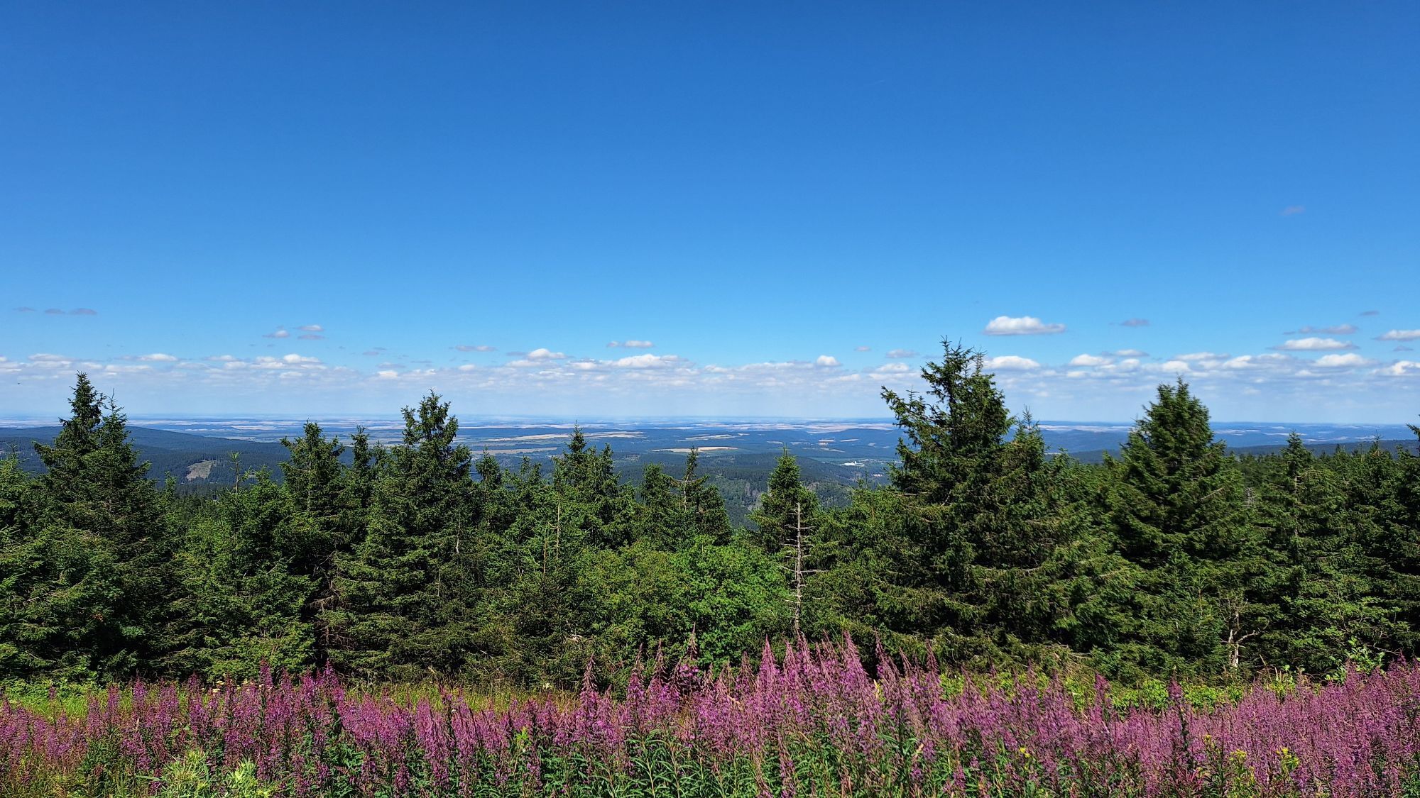
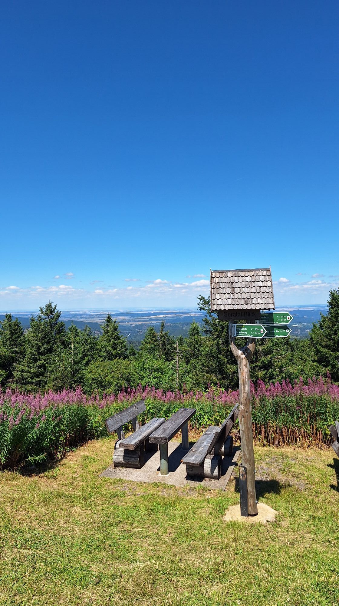
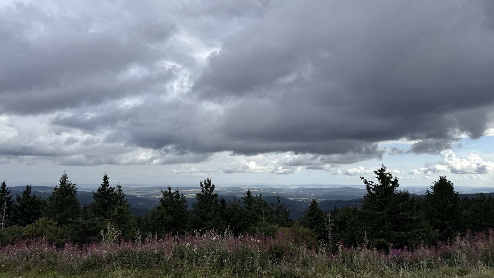
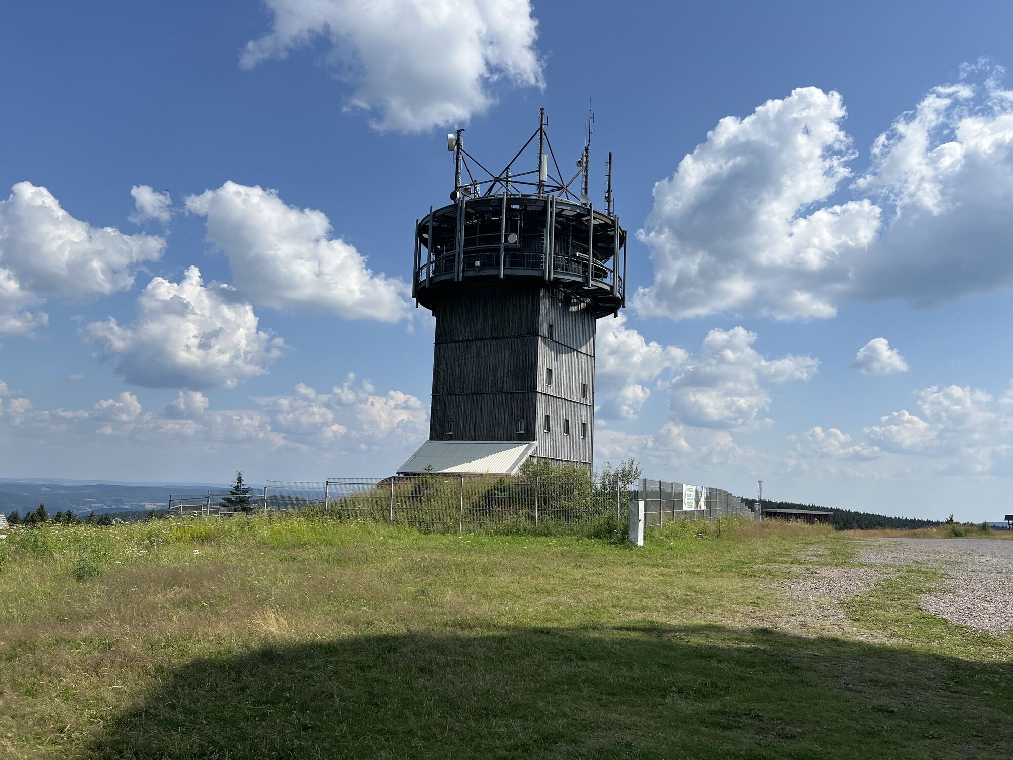
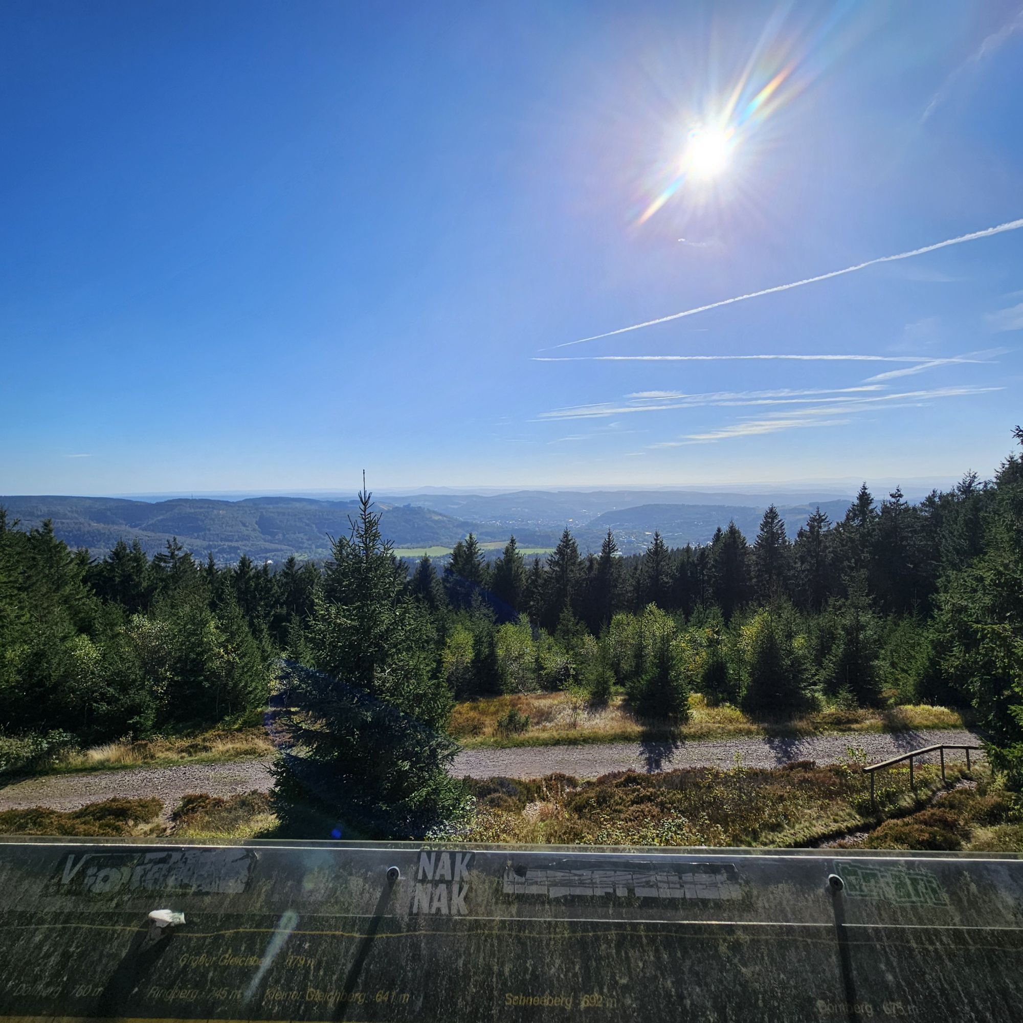
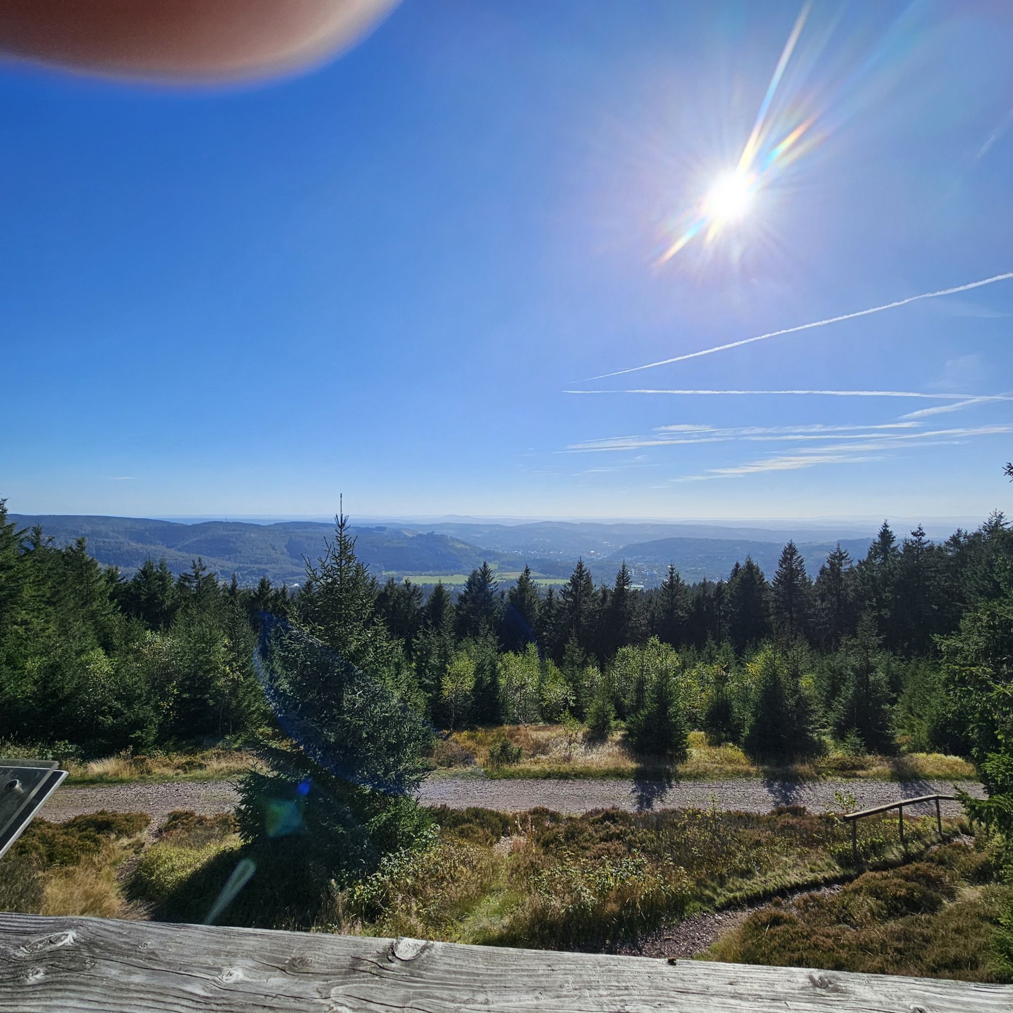
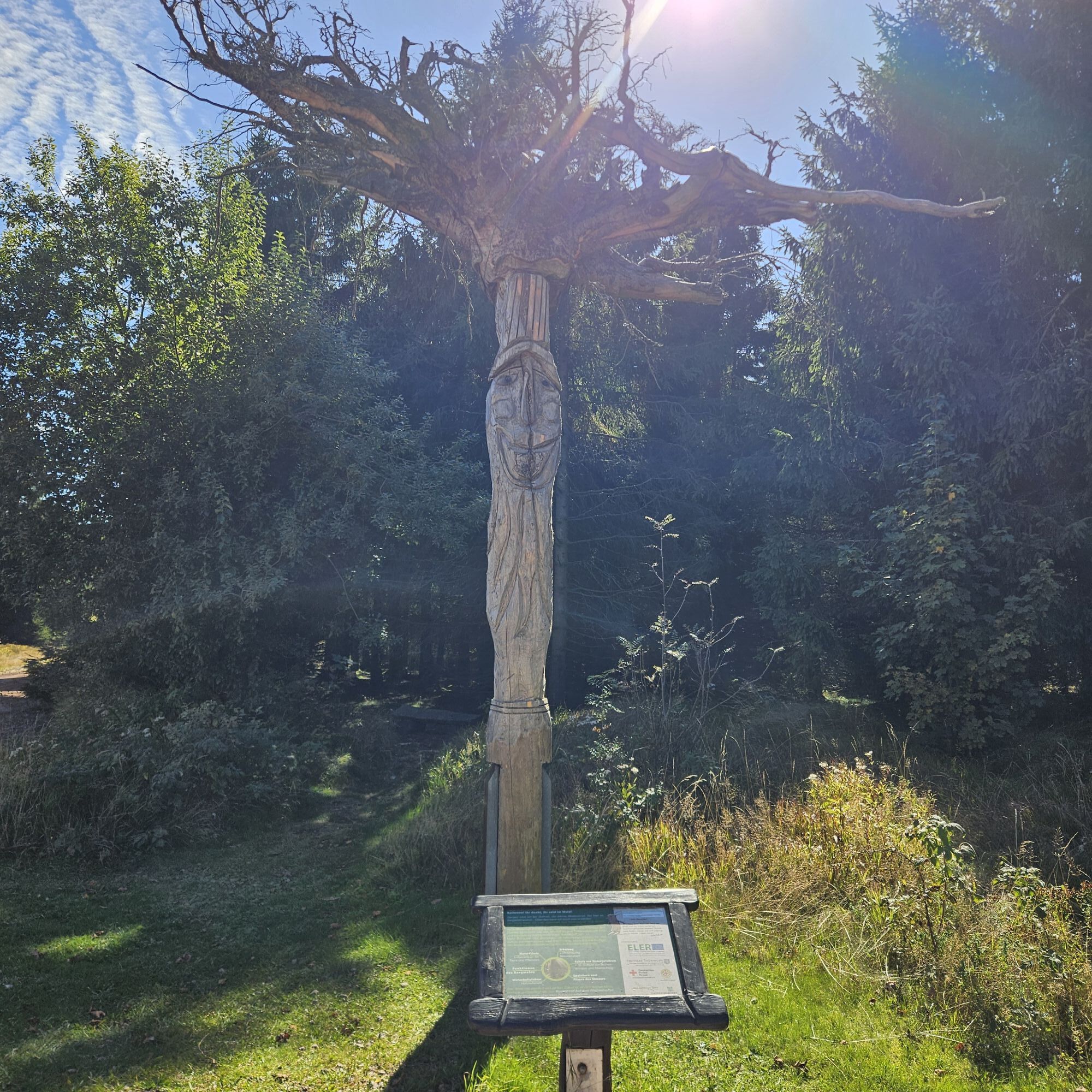
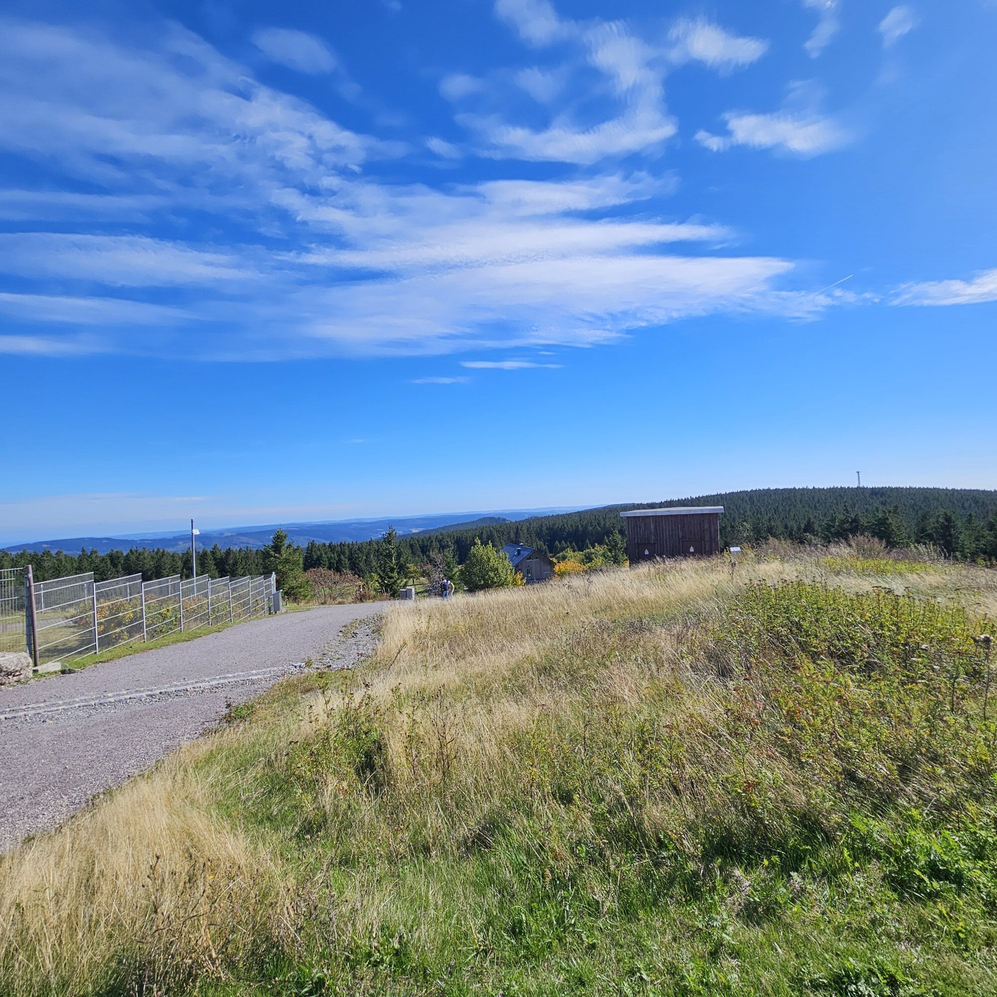
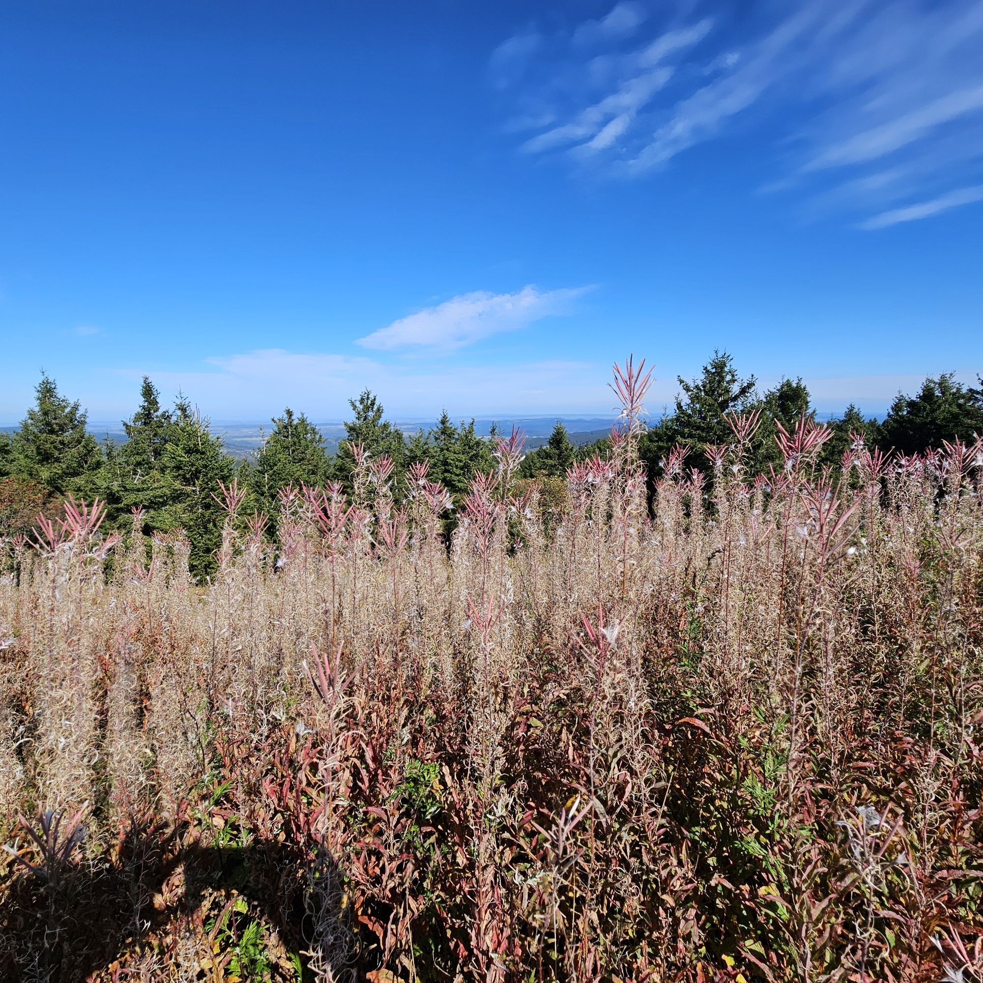
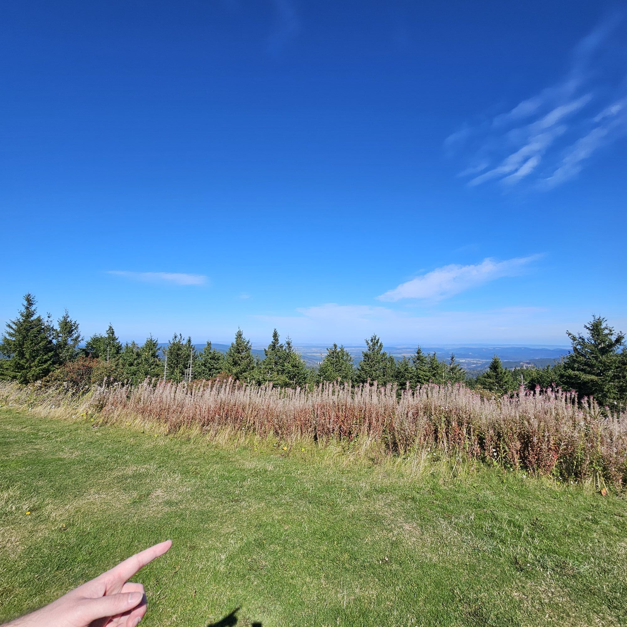
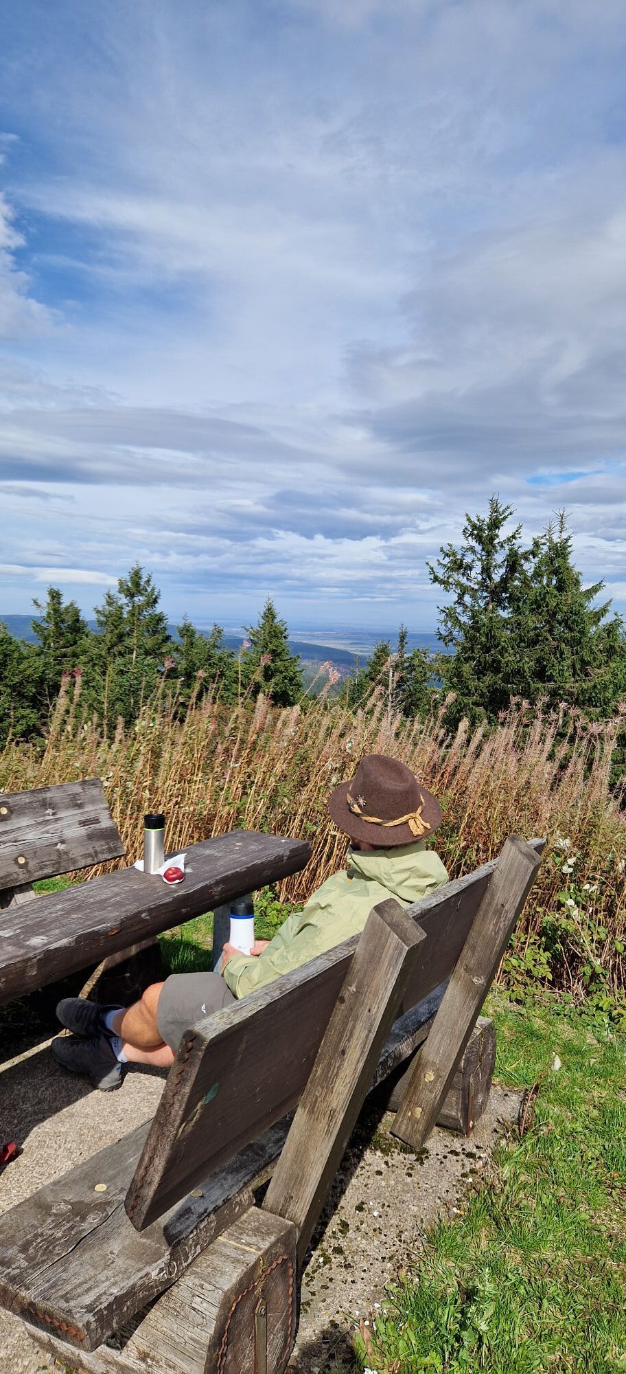
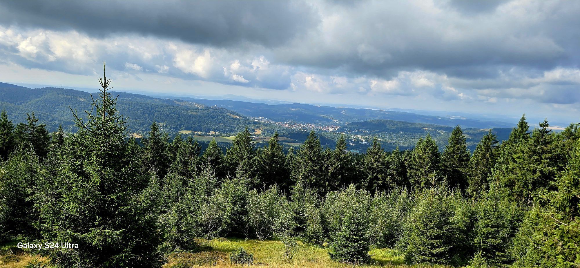
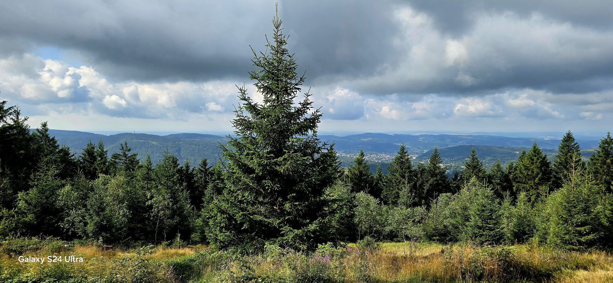
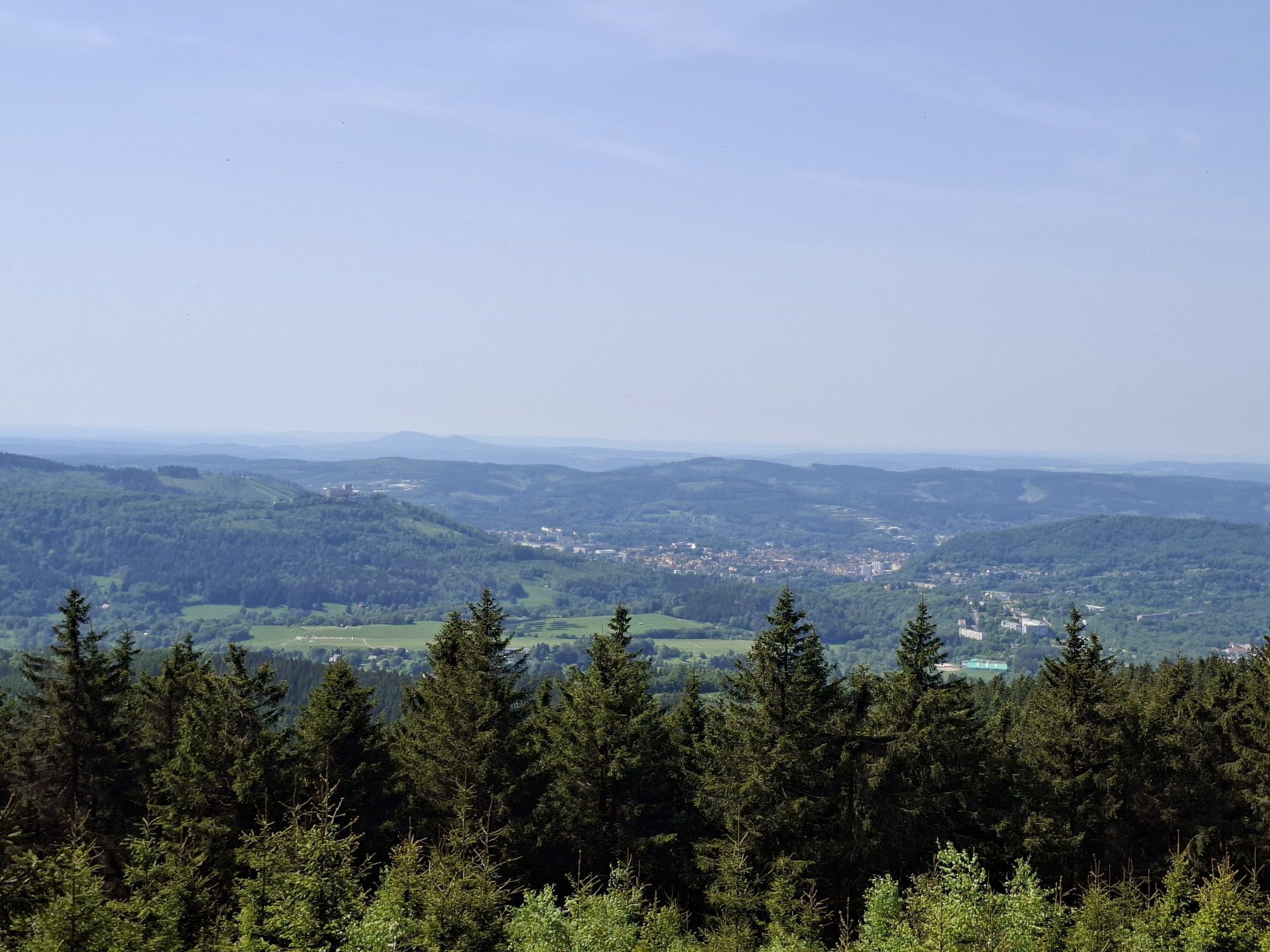
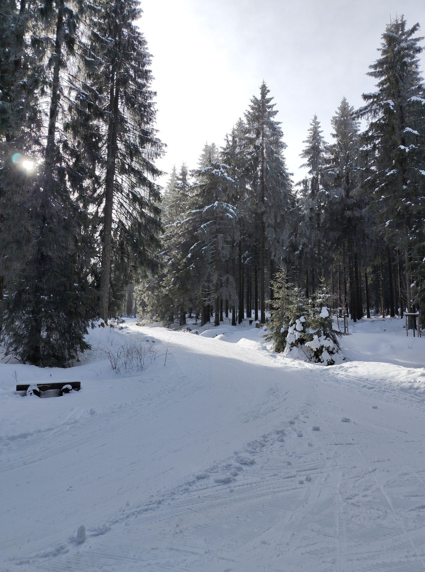
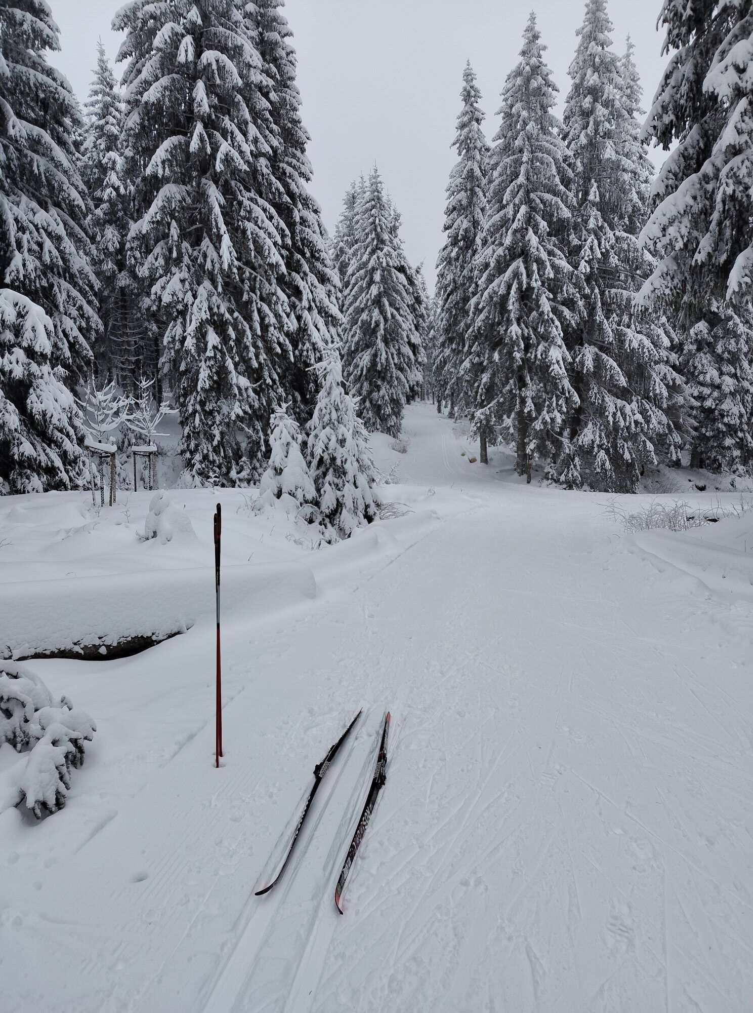
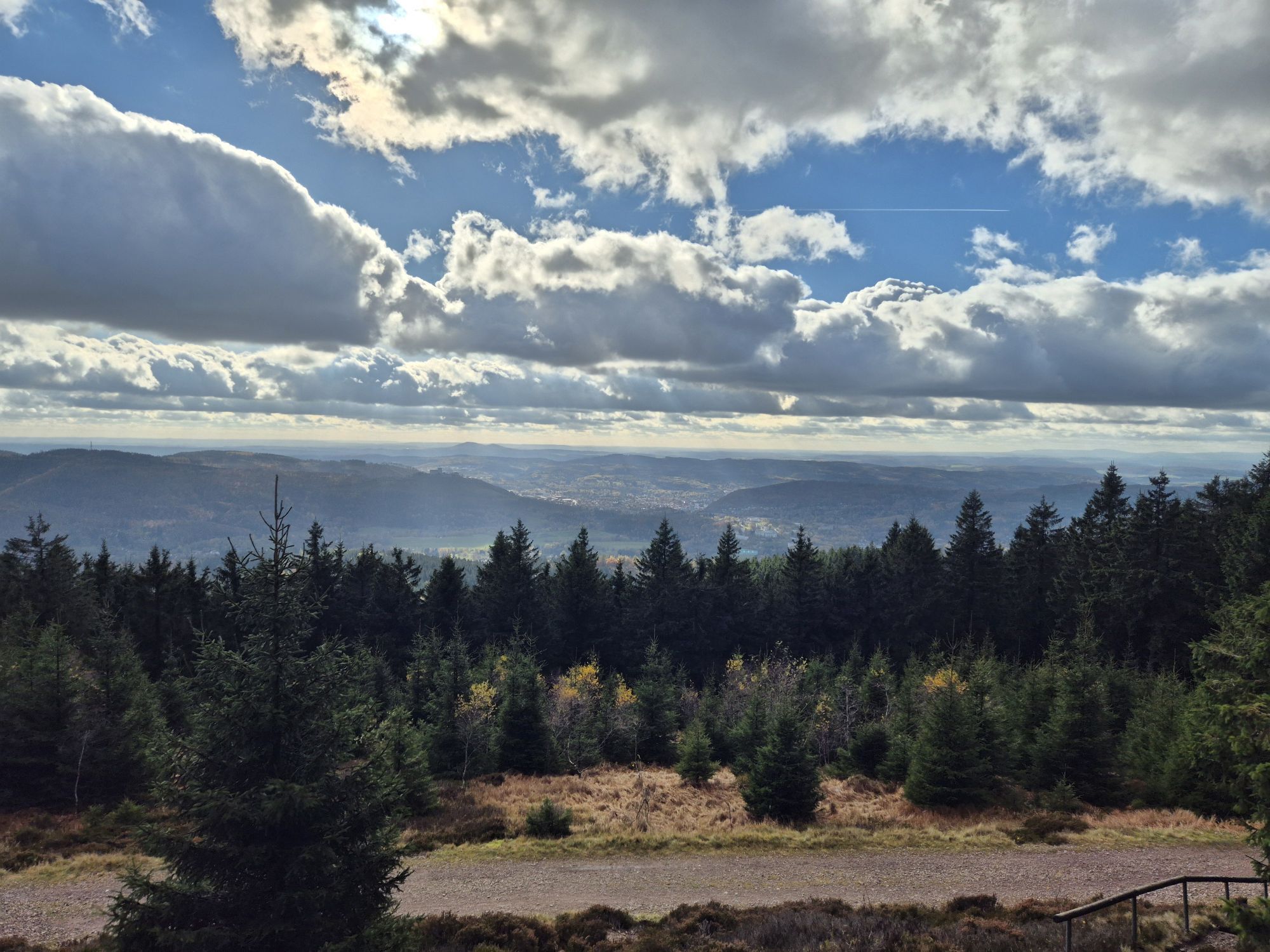
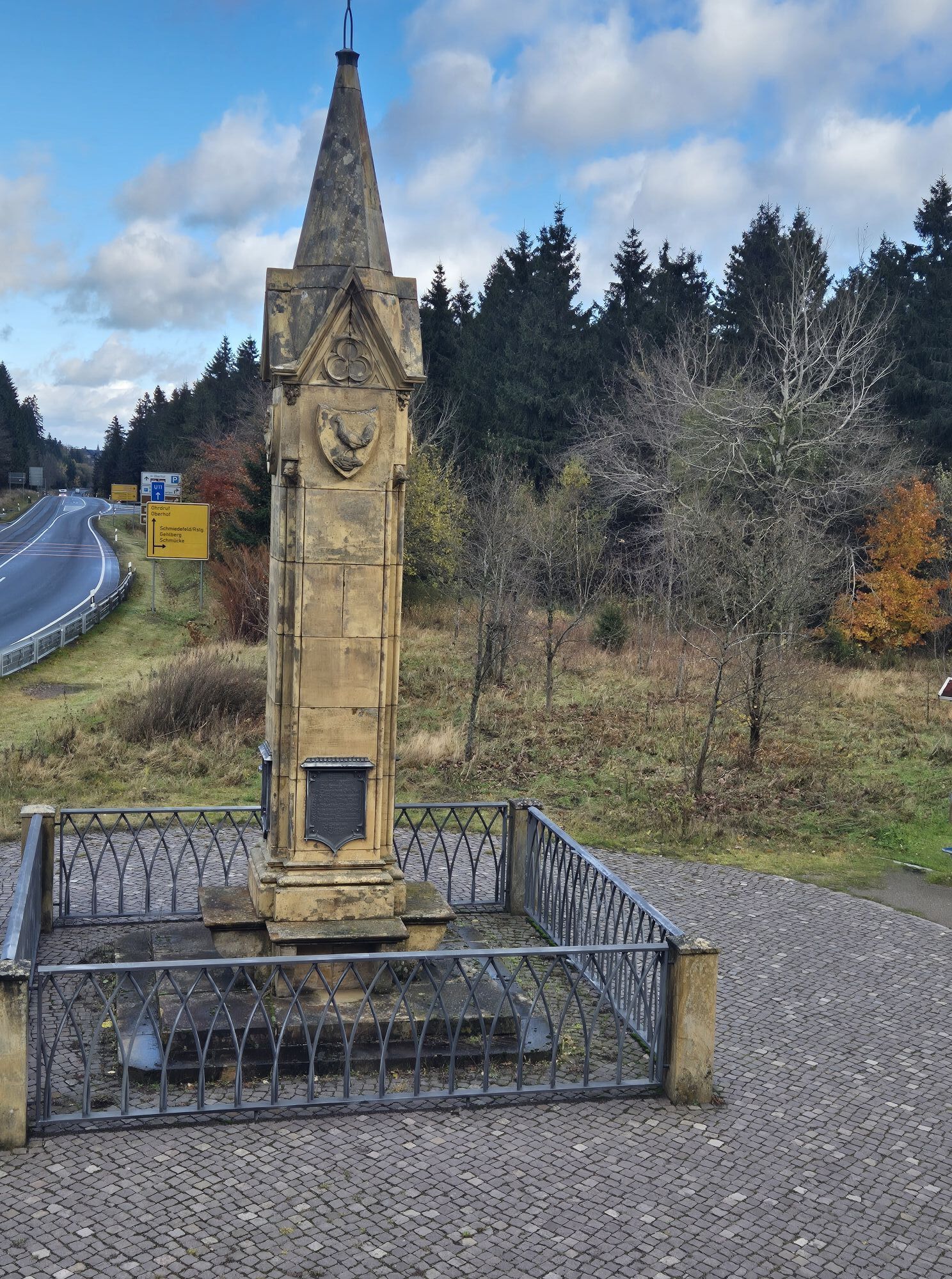
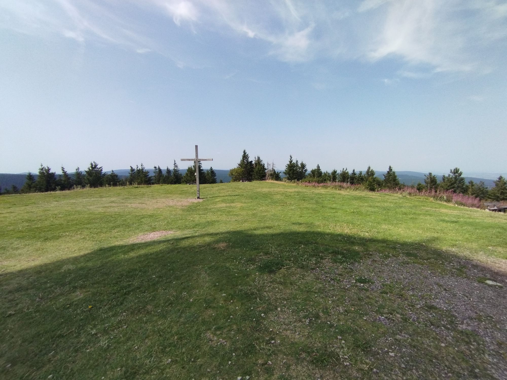
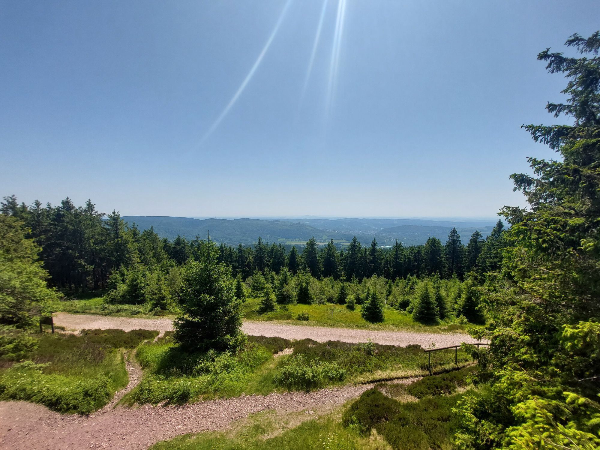


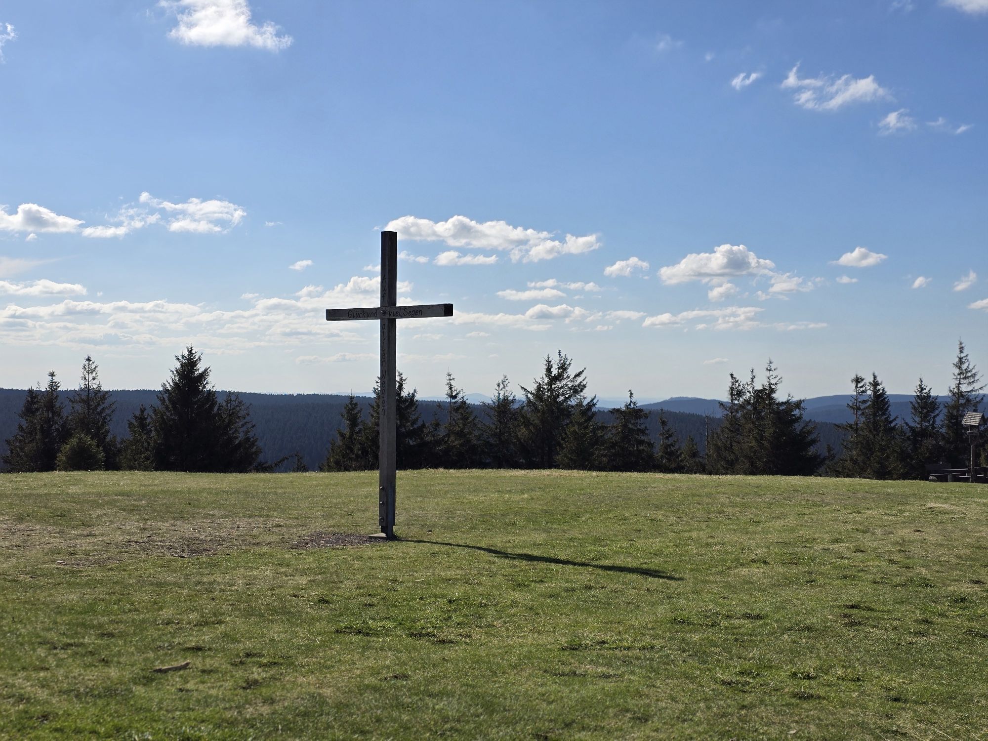
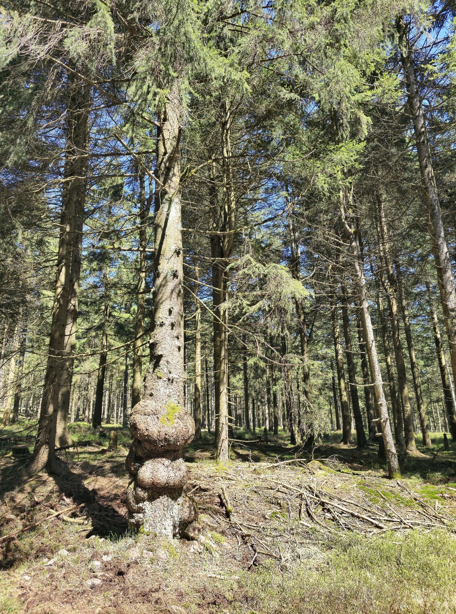
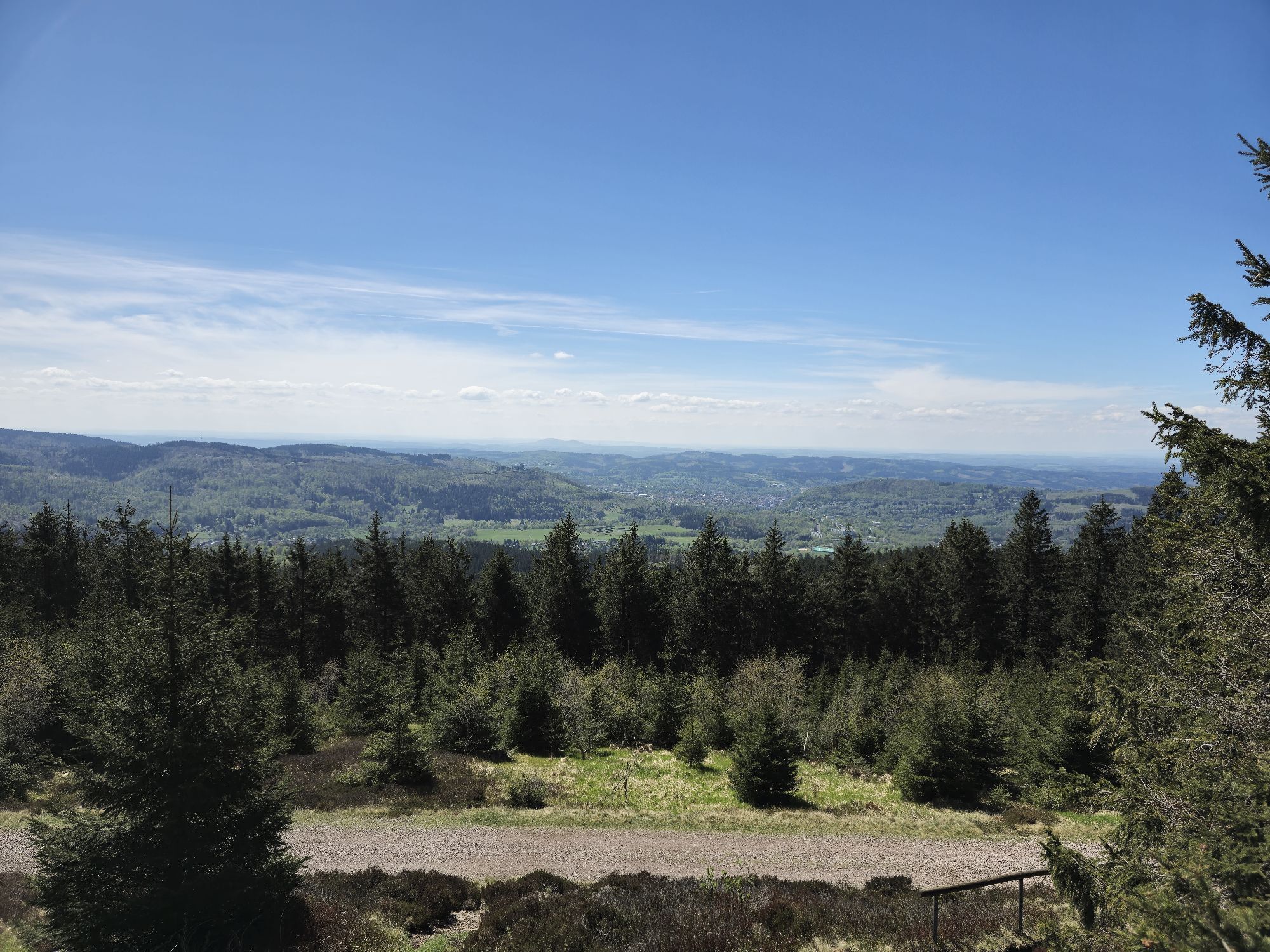
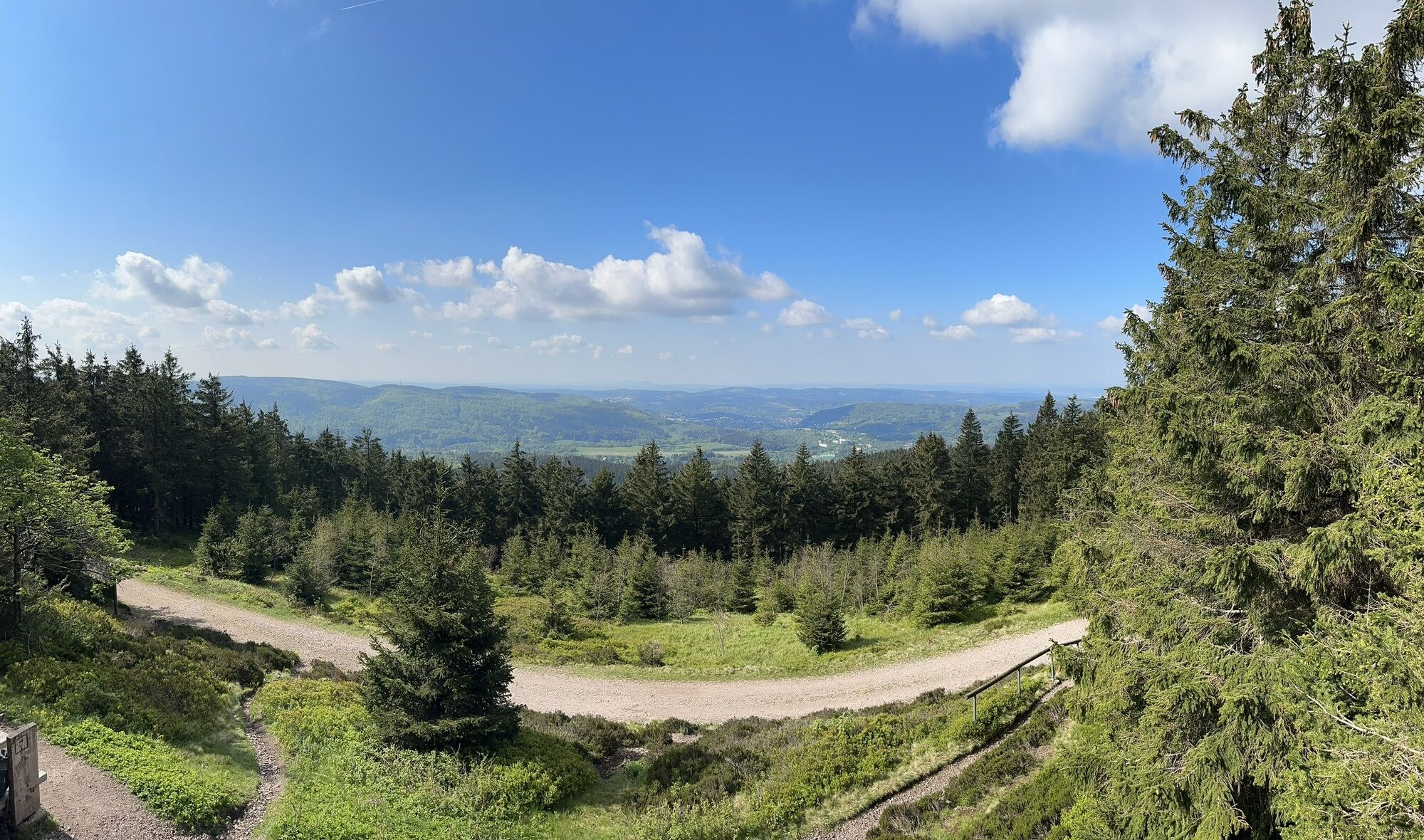
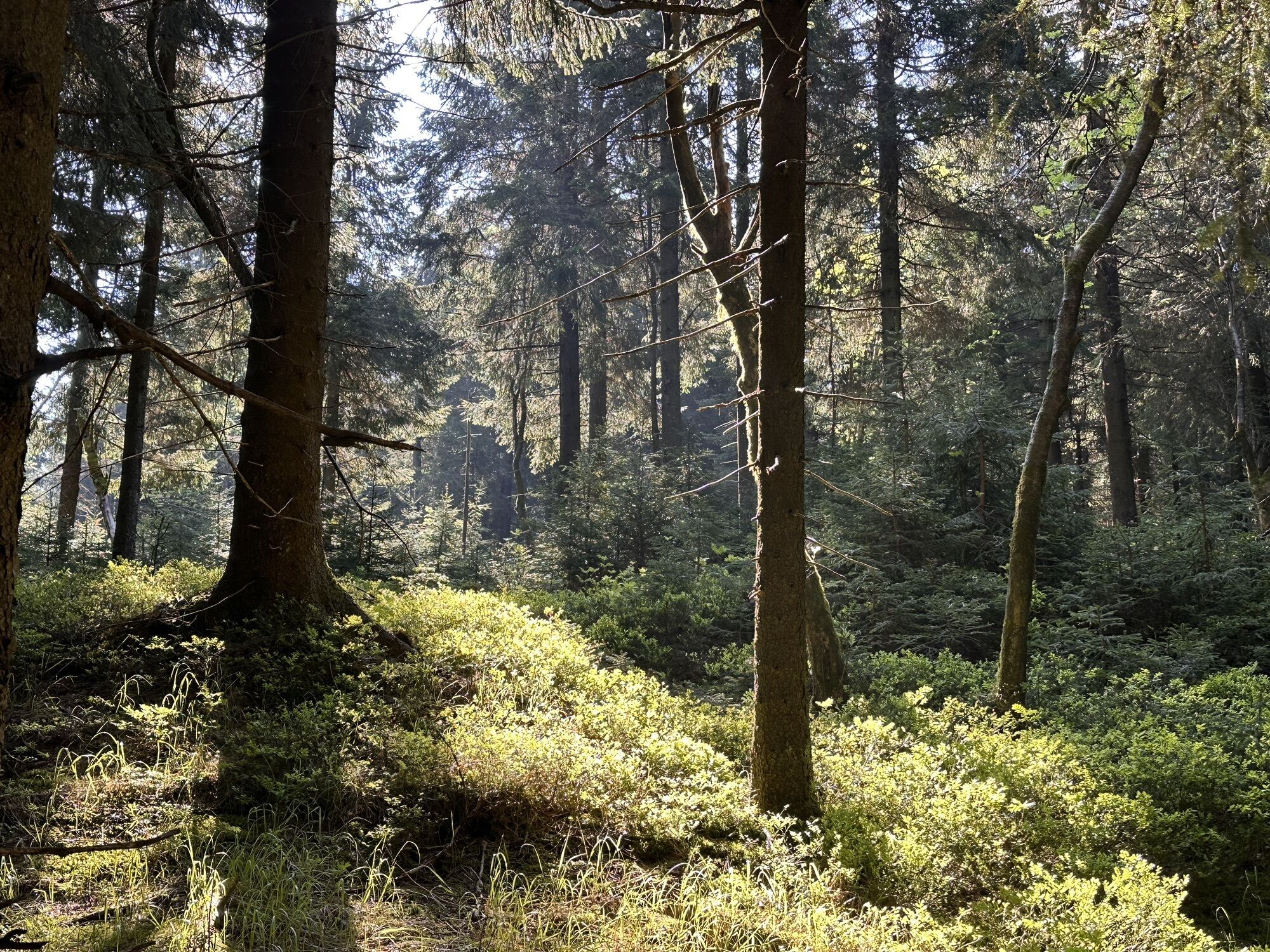
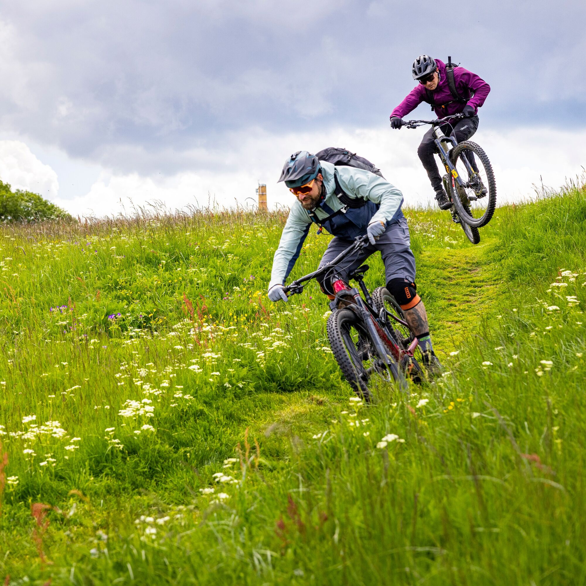
On this route, you are traveling at the highest elevations of the Thuringian Forest and pass many well-known viewpoints along the Rennsteig. Green spruce forests, wide views, and a mix of natural wide...
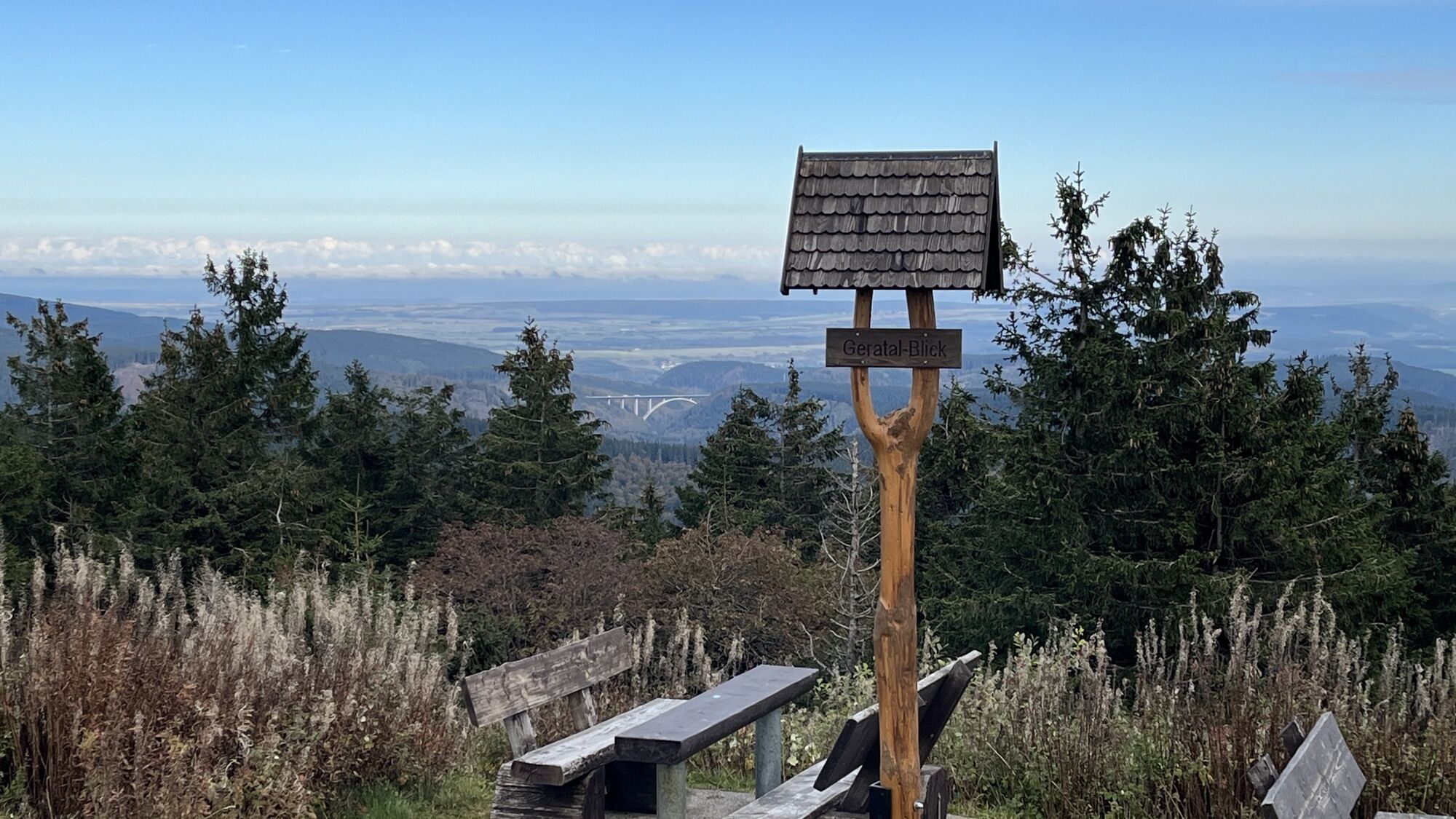
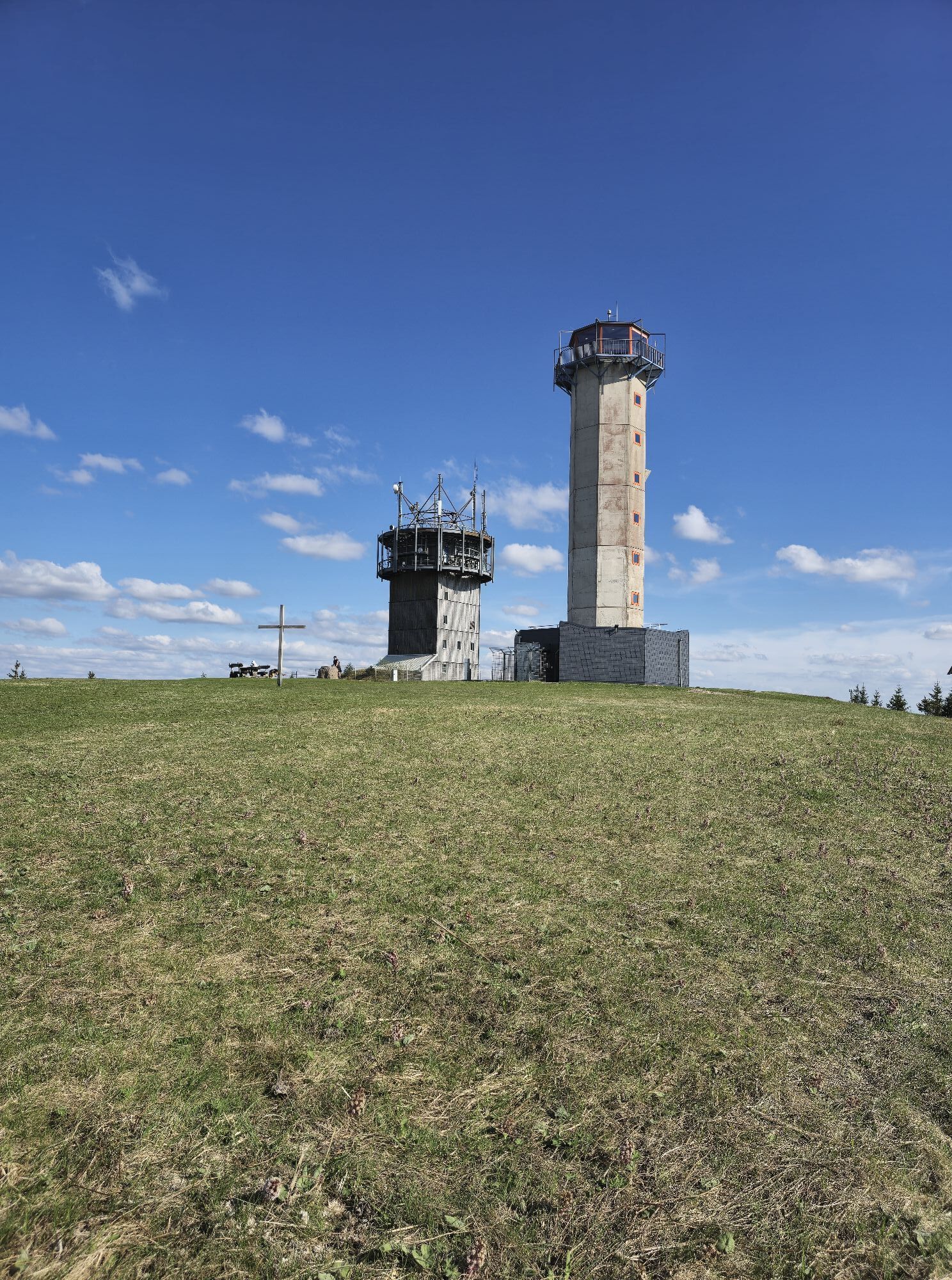
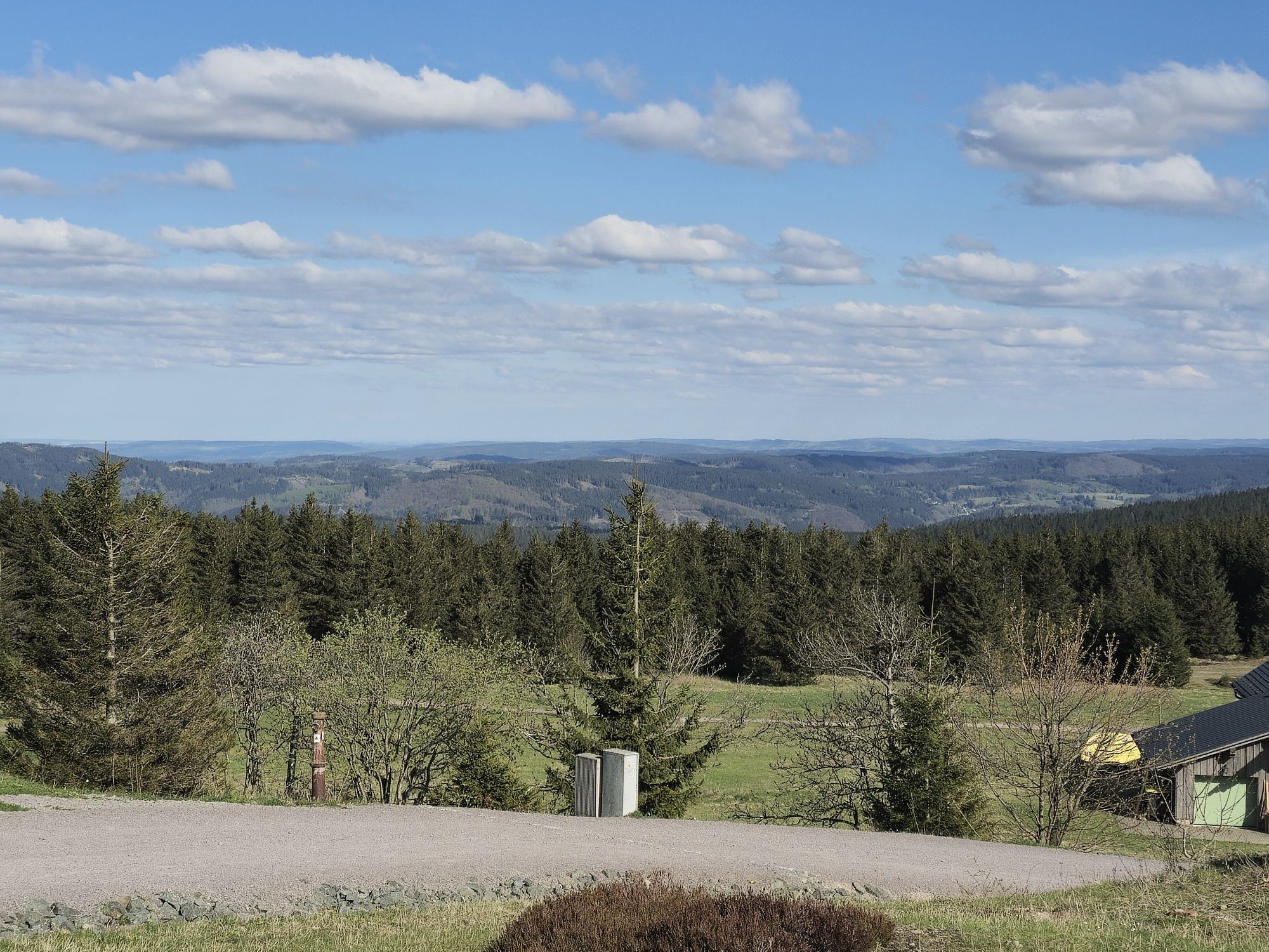
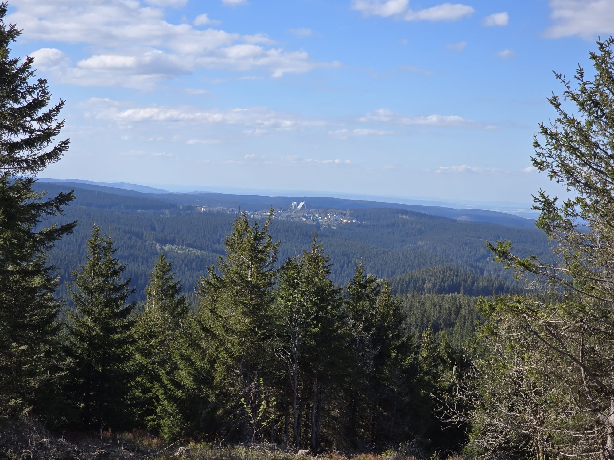
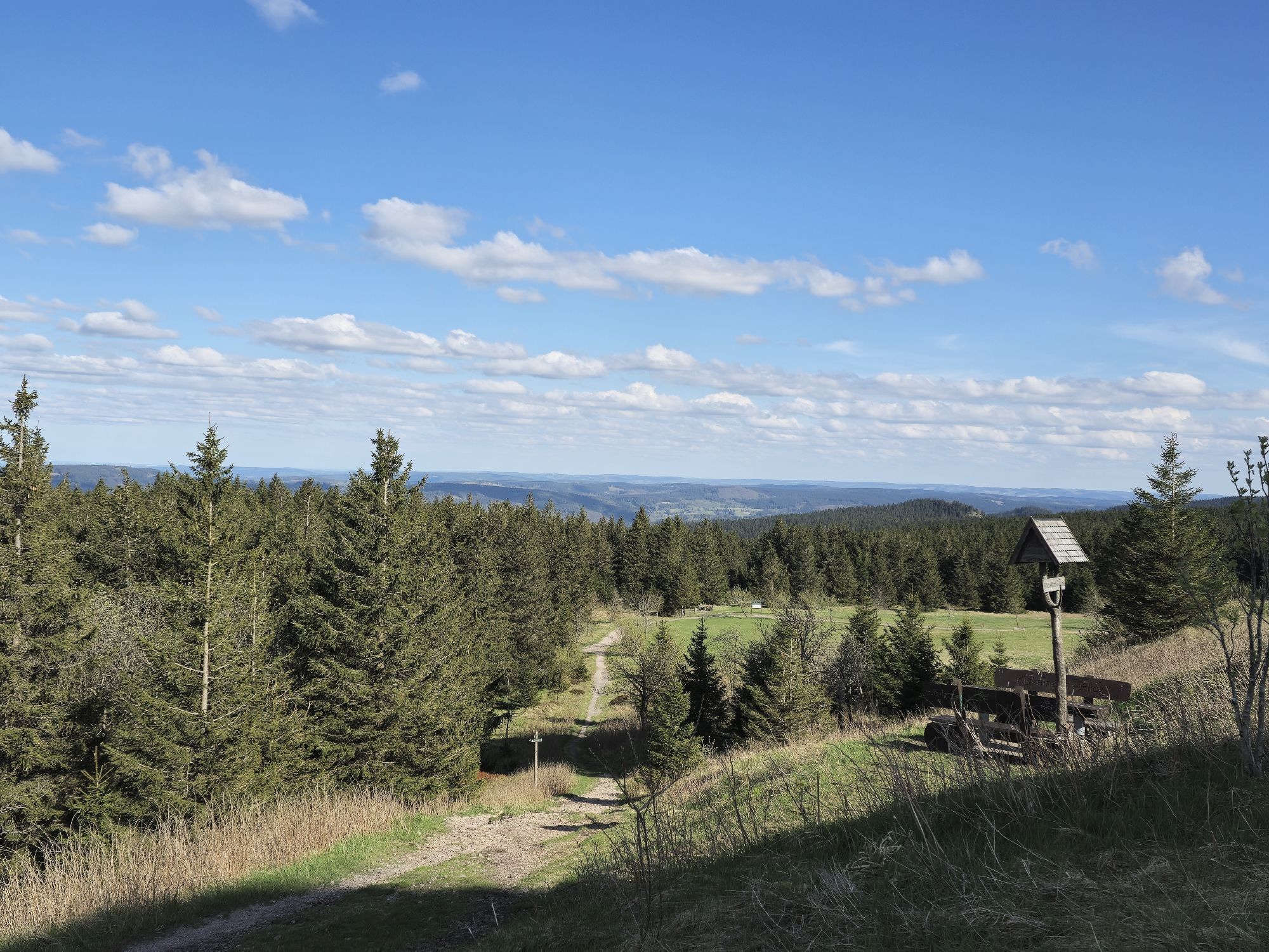
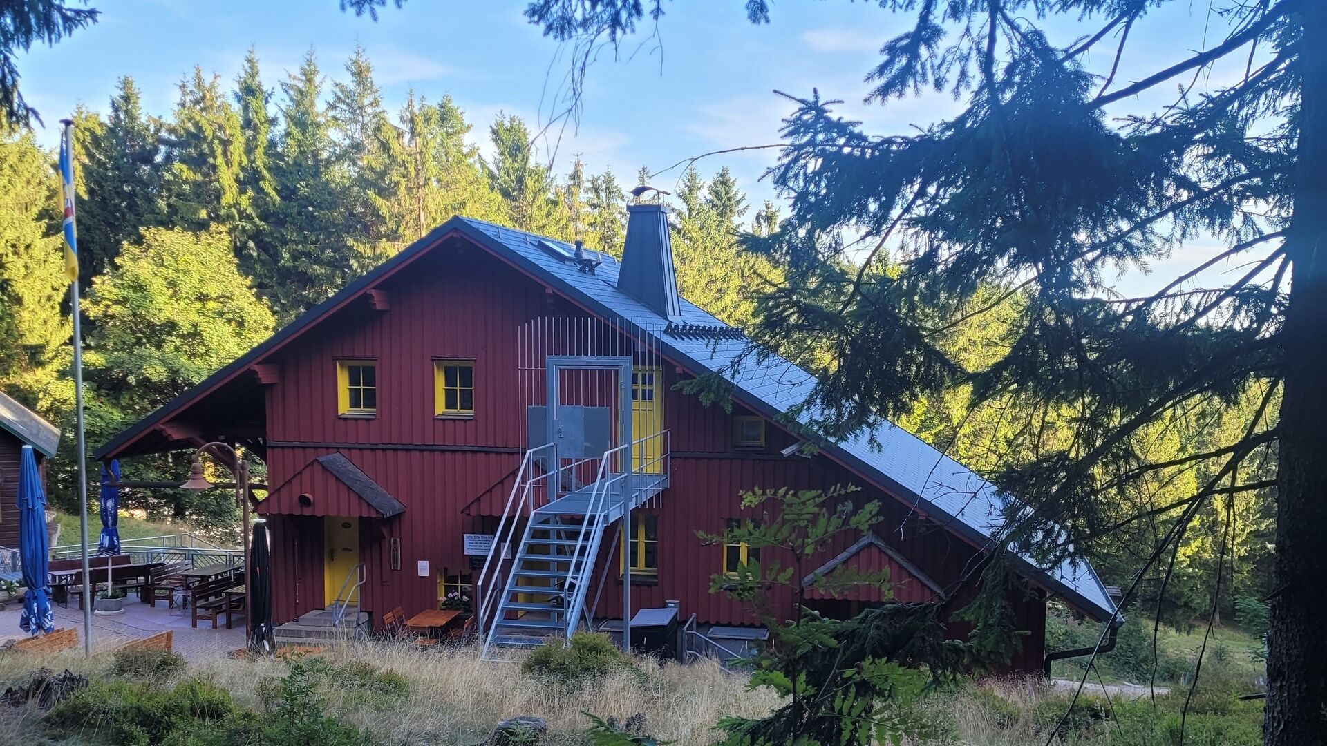
On this route, you are traveling at the highest elevations of the Thuringian Forest and pass many well-known viewpoints along the Rennsteig. Green spruce forests, wide views, and a mix of natural wide and narrow paths characterize this route. The highlight of our sponsor and district forester in the route area, Ronny Eckhardt, is the Felsenschlag with a view of the village Gehlberg, an impressive rock formation. We recommend stopping at the Suhler Hütte or the Forsthaus Sattelbach, not far from the route.
Dining tips en route: Suhler Hütte, Forsthaus Sattelbach
Dining tips start/finish: Café Luck, Kati's Café
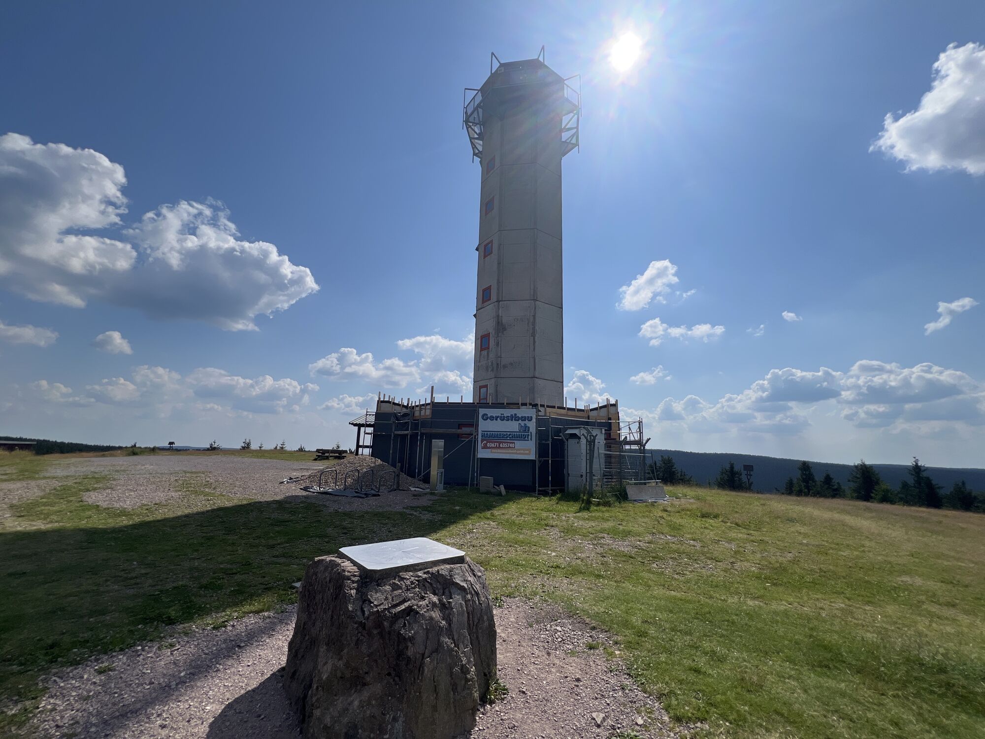
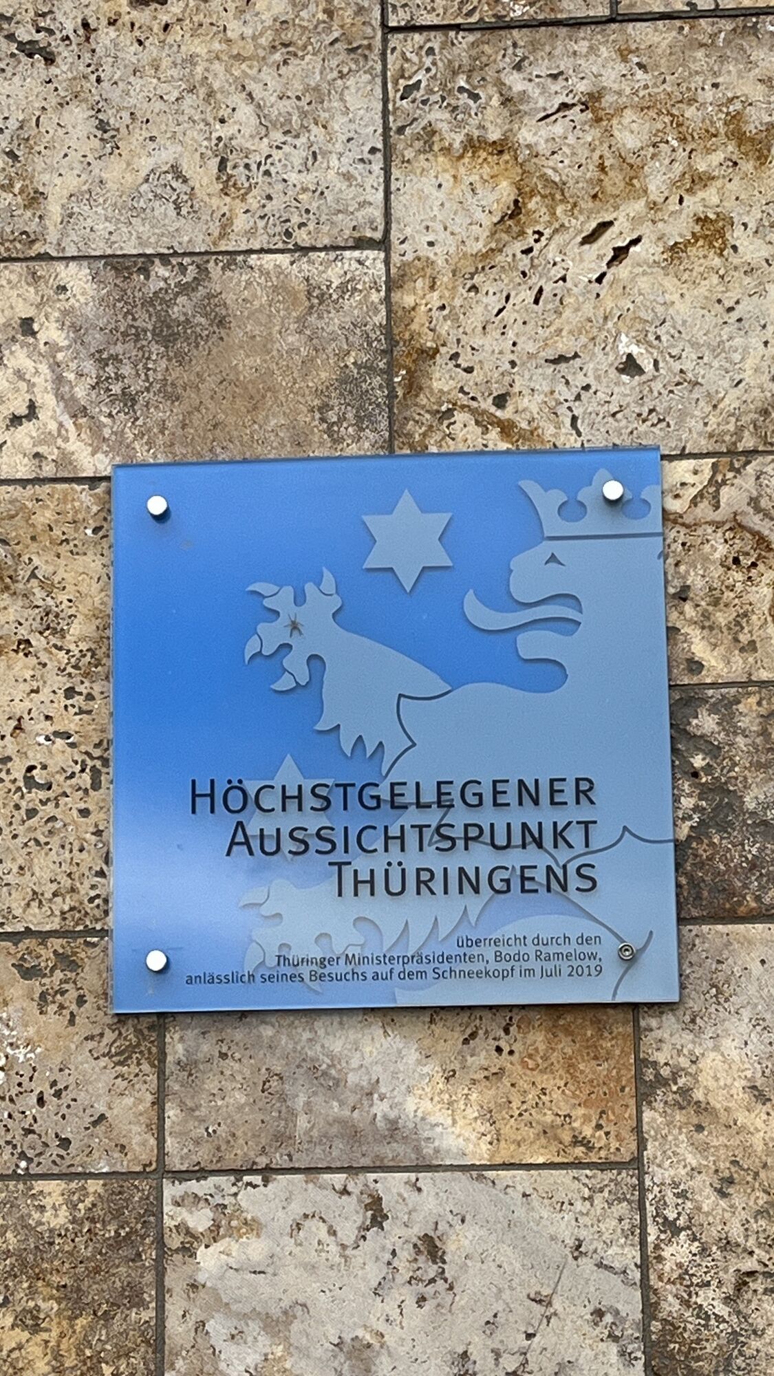
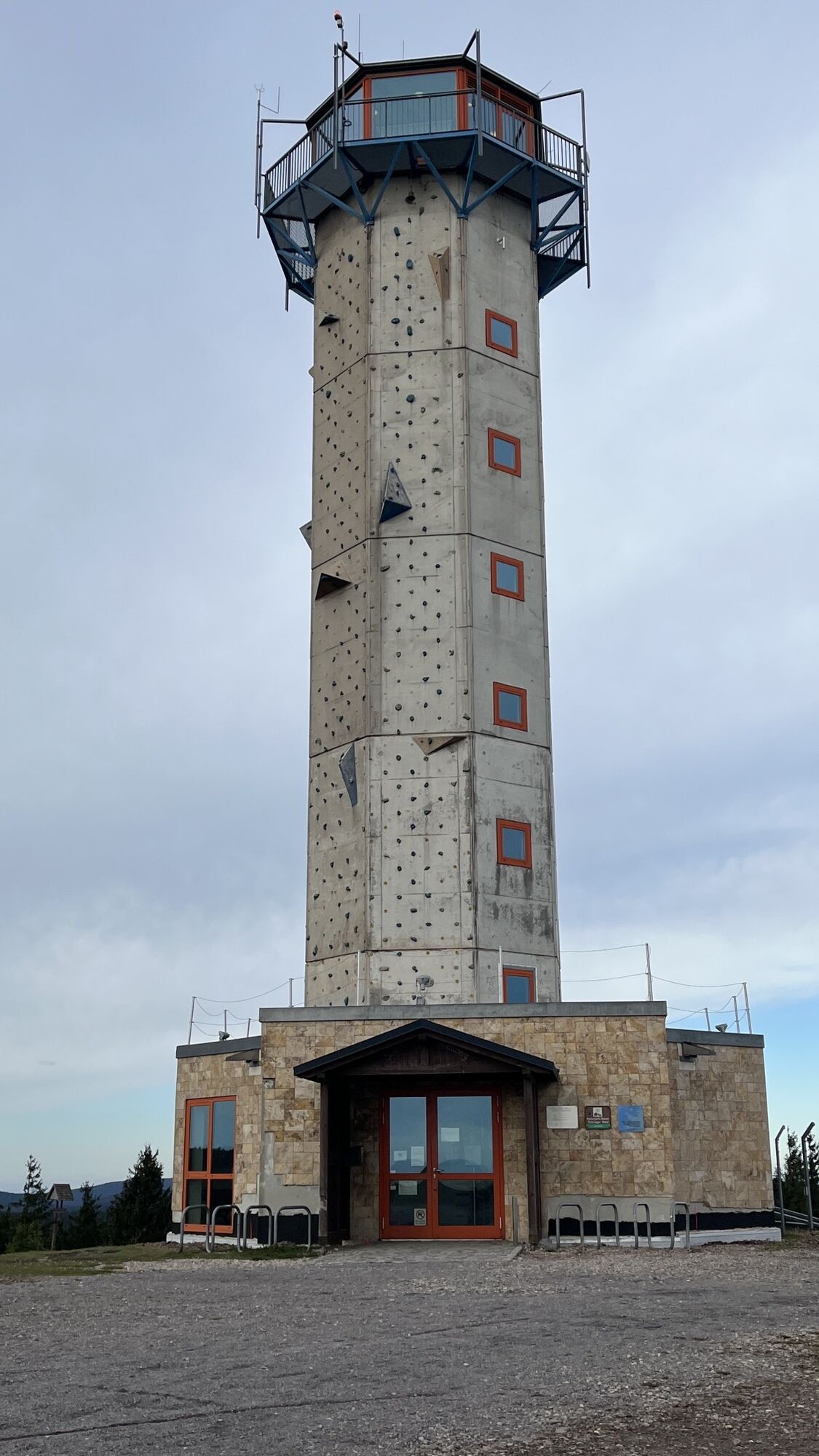
Tour highlights: Rennsteig Garden, Bärenstein, Plänckner's View, Schneekopf, Felsenschlag
Difficulty: blue

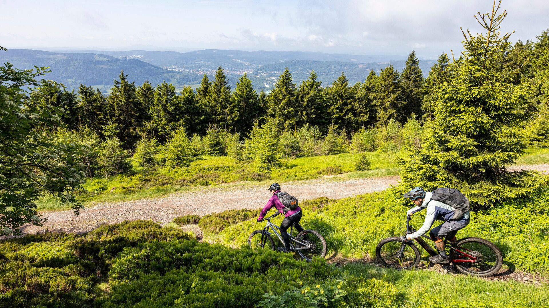
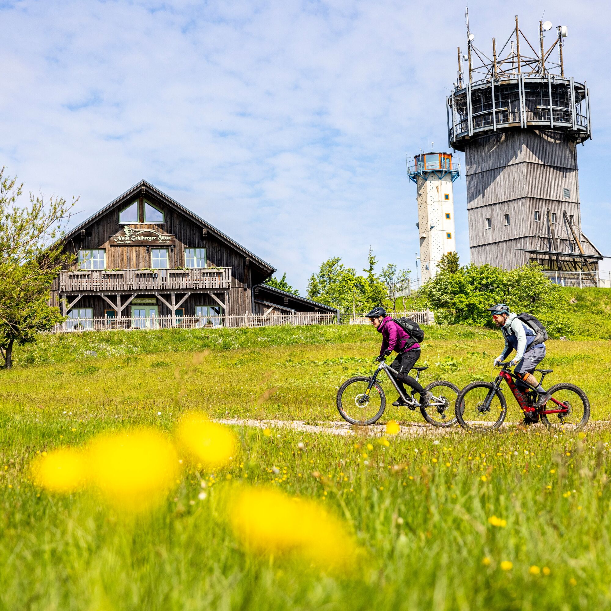
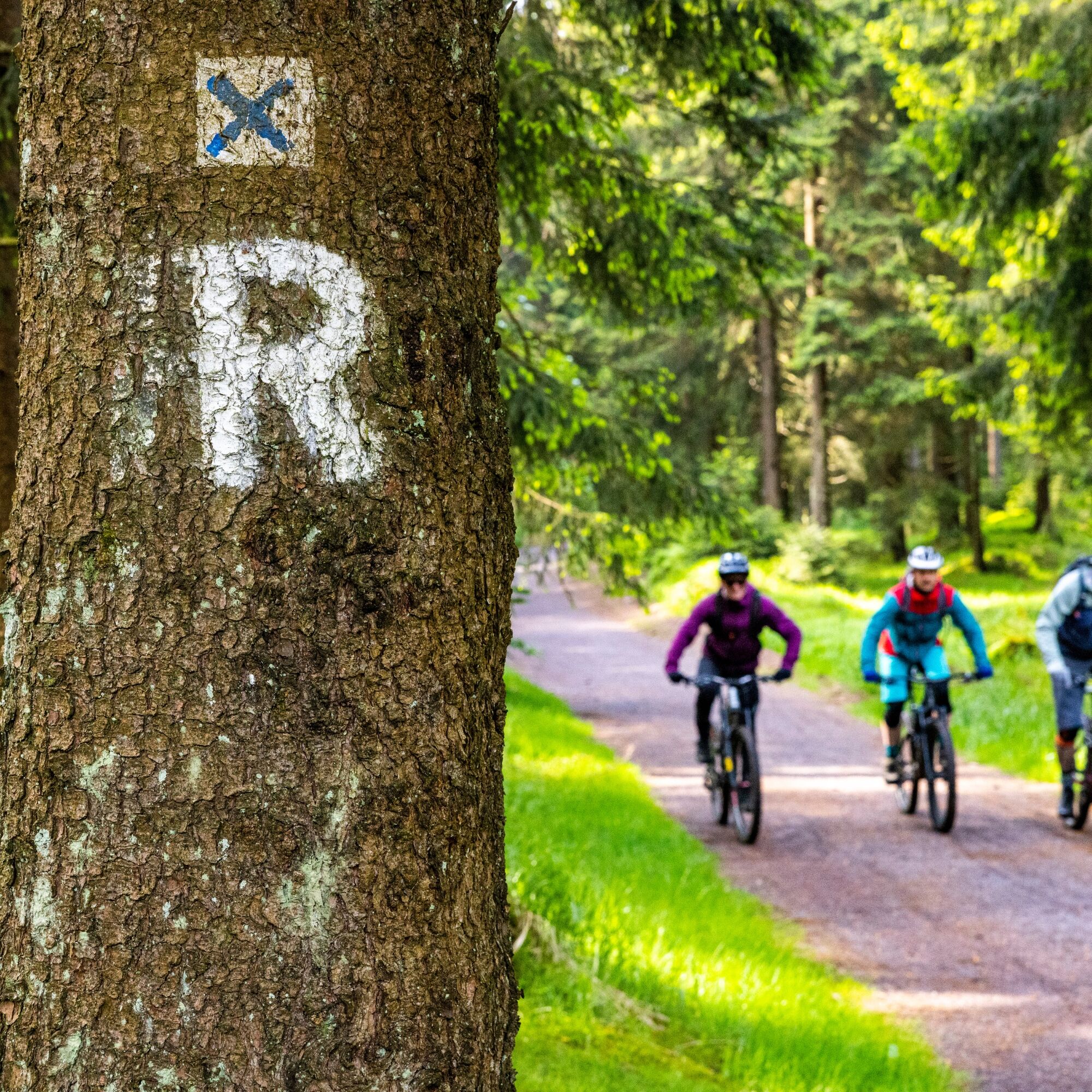
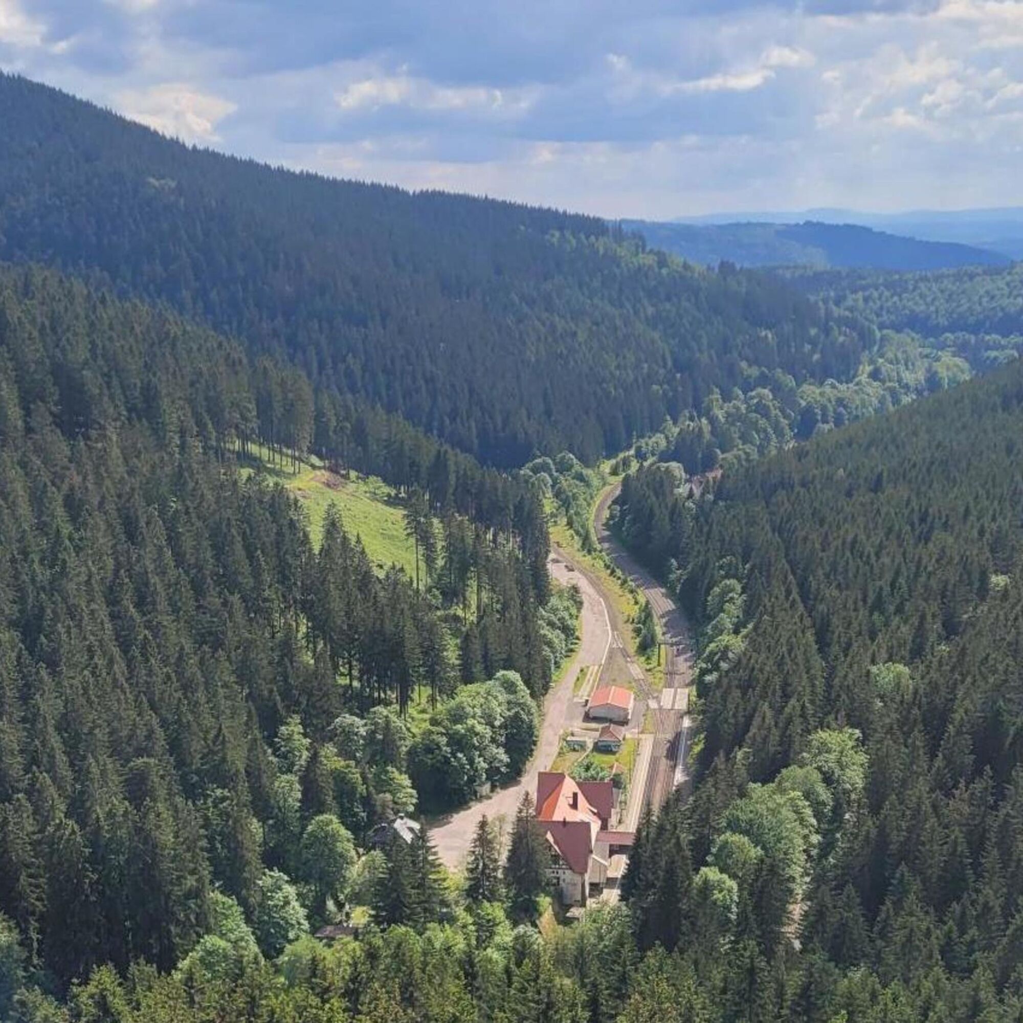

Start at the ThermeOberhof car park, slightly uphill behind the tourist information office in the direction of Oberer Hof. Continue in the direction of Golfwiese to the Rondell car park. Cross the road here, at the Rennsteiggarten turn right onto the gravel road downhill towards Bärenstein. Short visit on foot to the viewing rock, then continue uphill towards Suhler Ausspanne and on the Rennsteig towards Groß Beerberg. Continue in the direction of Schmücke, passing the Schneekopf car park and at the end of the car park continue on the left-hand path (without footpaths) towards the Schneekopf plateau. From the circular path around the plateau, then uphill path downhill.
Variant: Hölletrail on Höhe Kletterturm briefly and steep path down, then left on trail in the direction of Hölle, at the branch path to Teufelskanzelstraight ahead and downhill through the Hölle to the levelling pathConnection main route at km 13,82.
Downhill to Gehlberg, then left on gravel road towards Erfurter Hütte. At Meininger Hütte continue towards Oberhof, then straight on and at the turnoff right downhill towards Felsenschlag. At Felsenschlag you can enjoy a great view, then continue on gravel road along the Dörrkopf. Take the gravel road to the right towards Erfurter Hütte and from there continue towards Oberhof, Forsthaus Sattelbach.
When you reach the garden area of the Kehltal, turn left uphill onto Gräfenrodaer Stra;e towards Oberhof.
Da
Da
In addition to the basic equipment for mountain biking, you should also have some technical gear with you. It is an outdoor experience where you won't find a bike repair shop.
Bike helmet
Bike gloves
Sturdy, comfortable, and preferably waterproof footwear
Clothing in a layering system with moisture transport
Backpack (with rain cover)
Sun, rain, and wind protection (hat, sunscreen, waterproof and windproof jacket/umbrella)
Sunglasses
Sufficient provisions and drinking water
Mobile phone
Cash
Tour plan of the Trophy
Air pump
Tire repair kit
Spare tube
Tire levers
Chain tool
Wrench
Route use & forest conversion
In times of bark beetle and forest conversion, we ask for your understanding that not every path is always in perfect condition, you might have to push your bike or accept a detour. We are in communication with ThuringiaForst and all forest owners and do our best to ensure that relaxation in the forest remains possible for everyone. Thank you for your understanding and mutual consideration… our forest concerns us all!
STICK TO PATHS ONLY
Never ride off-trail, otherwise you damage nature! Respect local path closures! Forestry, cattle drives, and nature conservation reasons justify this. Local closures can also be justified in recreational areas. The way you ride influences the actions of authorities and administrations. On private property, you are often only tolerated.
LEAVE NO TRACE Do not brake with locking wheels (except in emergency situations)! Locking brakes promote soil erosion and cause path damage. Adjust your riding style to the ground and path conditions. Not every path tolerates every braking maneuver and riding style.
KEEP YOUR MOUNTAIN BIKE UNDER CONTROL Carelessness, even for a few seconds, can cause an accident. Adjust your speed to the situation. Pedestrians, obstacles, or other bikers can appear anytime in blind sections. You must be able to stop within sight! For your own safety and that of others.
RESPECT OTHER NATURE USERS Announce your passing early. Do not startle other path users! Reduce your speed to walking pace when passing or stop. Remember that other path users might notice you too late. Ride, if possible, only in small groups.
TAKE CARE OF ANIMALS Grazing animals and all other animals in forest and fields require special consideration! Close grazing fences after you pass. Leave the forest in time before dusk to avoid disturbing animals during feeding.
PLAN AHEAD Start your tour as close to your home as possible. Check your equipment, assess your abilities correctly, and choose the area accordingly where you want to ride. Bad weather or a breakdown can prolong your tour significantly. Be prepared for unforeseen situations: Think of tools, provisions, and a first aid kit. Wear safety equipment! A helmet can protect, but it is no life insurance.
By car on B 247 to Oberhof and Schmiedefeld, free parking at Therme H2Oberhof
Access by MTB: MTB route Rennsteig from and to Zella-Mehlis, Suhl, Schmiedefeld, Gehlberg
By DB and Südthüringenbahn (Erfurt-Meiningen) to Zella-Mehlis. Connection by bus to Oberhof.
Parking lot: H2O Therme in Oberhof;
Alternative starting points: Rondell Oberhof, Schneekopf hiking parking lot, Golden Bridge at Brand near Gehlberg
S1
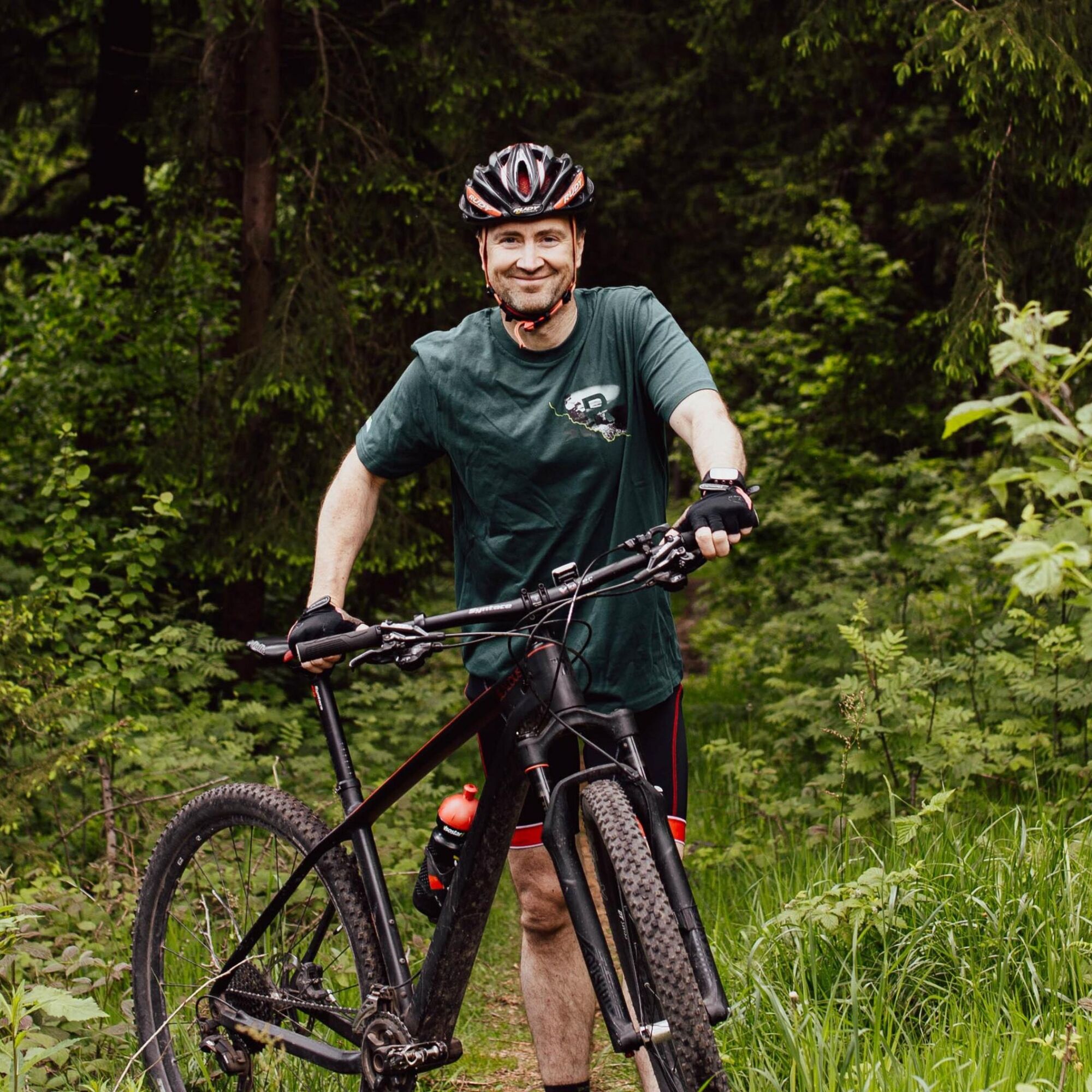
I am a forester in the Thuringian Forest and often ride my bike in my free time. I love speeding through the Thuringian Forest with my mountain bike and want to invite you to try my route! My personal highlight is the Felsenschlag near Gehlberg with a magnificent view over the wide landscape. Take a look! Route sponsor Ronny Eckhardt
Spletne kamere s turneje

Priljubljeni izleti v okolici
-
4.3
Rund um die Ohratalsperre
svetlobaPohodništvo 14.5 km -
4.3
Circular route - Around the Heyda Dam - Thuringian Forest
srednjaPohodništvo 7.59 km -
4.4
Circular hike "Old Tambach Dam", Tambach-D., Thuringian Forest
srednjaPohodništvo 8.33 km -
4.7
Hike over the Rennsteig & the Schneekopf to the Schmücke
težkoPohodništvo 21.0 km -
3.0
Circular hike - "4 ponds hike" Neustadt am Rennsteig - Thuringian Forest
težkoPohodništvo 12.6 km -
4.8
Circular hike - Schmalwasser reservoir - Tambach-Dietharz - Thuringian Forest
srednjaPohodništvo 13.8 km -
4.0
Circular hiking route "Oberschönauer Felsenwanderung" - Steinbach-Hallenberg - Thuringian Forest
težkoPohodništvo 12.0 km -
The Rennsteig - long-distance hiking trail from Hörschel to Blankenstein - Thuringian Forest
težkoPohodništvo v daljavo 169.0 km -
4.0
Zu den Schanzen im Kanzlersgrund
srednjaPohodništvo 9.58 km -
5.0
Hiking - Summit hiking trail - Suhl-Goldlauter - Thuringian Forest
težkoPohodništvo 32.1 km
Pohodništvo in sledenje


Ne zamudite ponudb in navdiha za naslednje počitnice
Vaš e-poštni naslov je bil dodan na poštni seznam.


