






Saale - Water hiking from Hirschberg to Harra - Stage 1
Stopnja težavnosti: 3
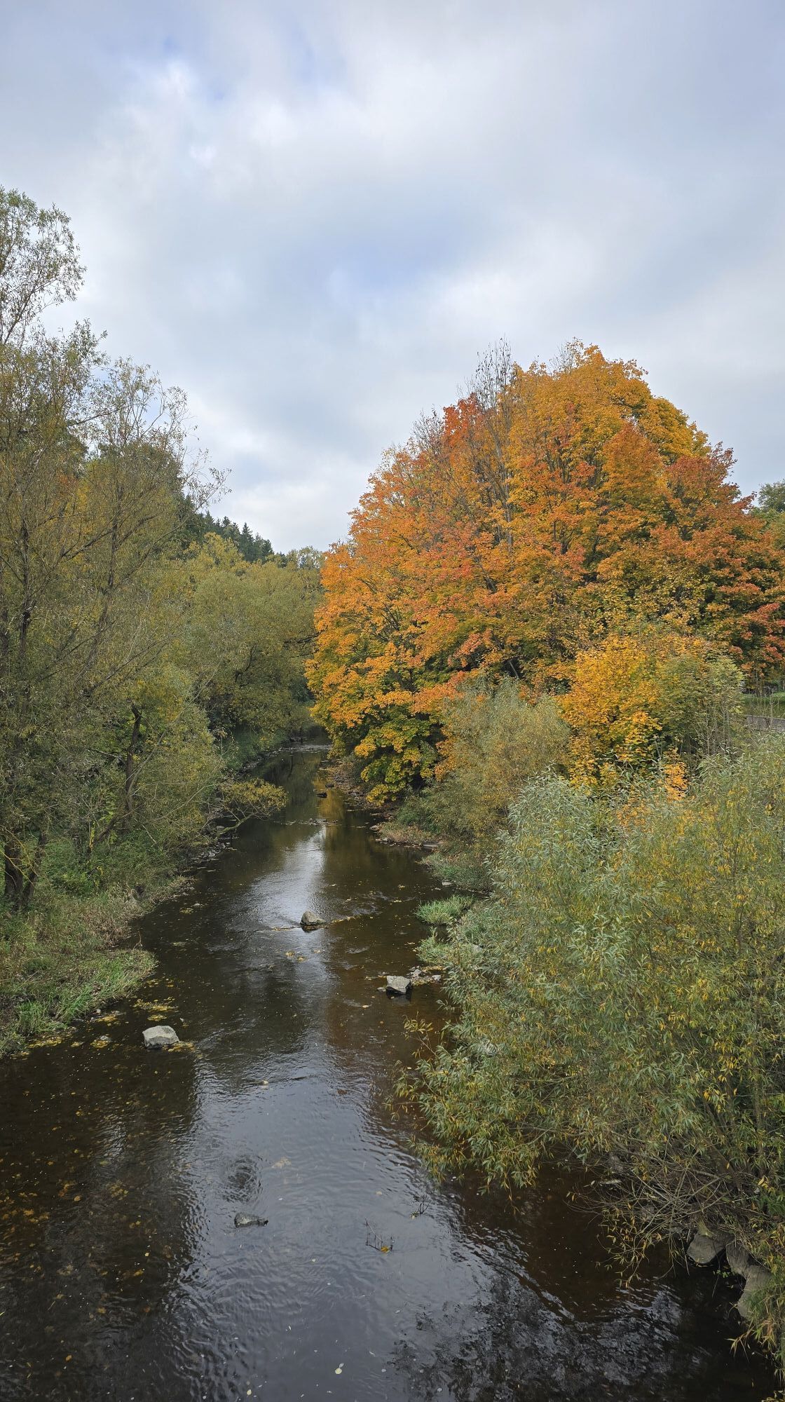
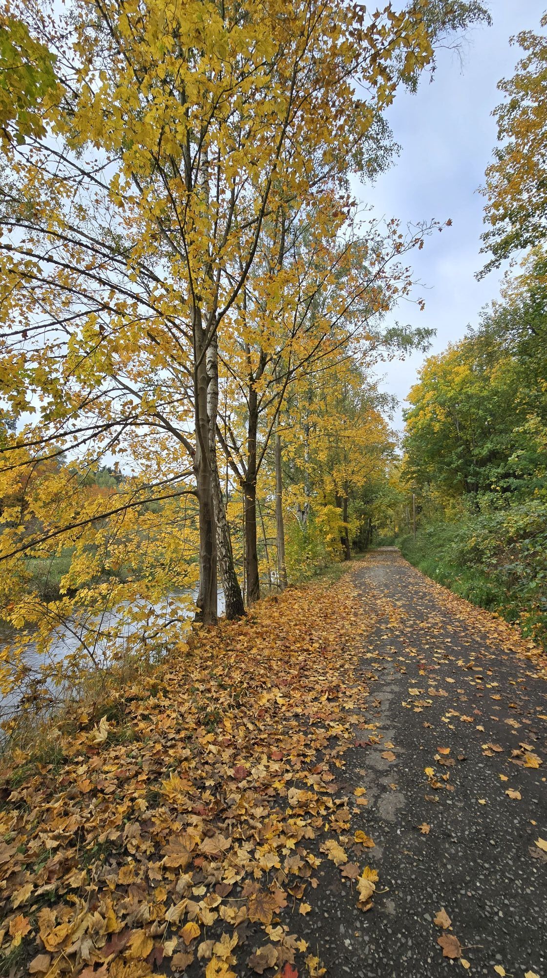
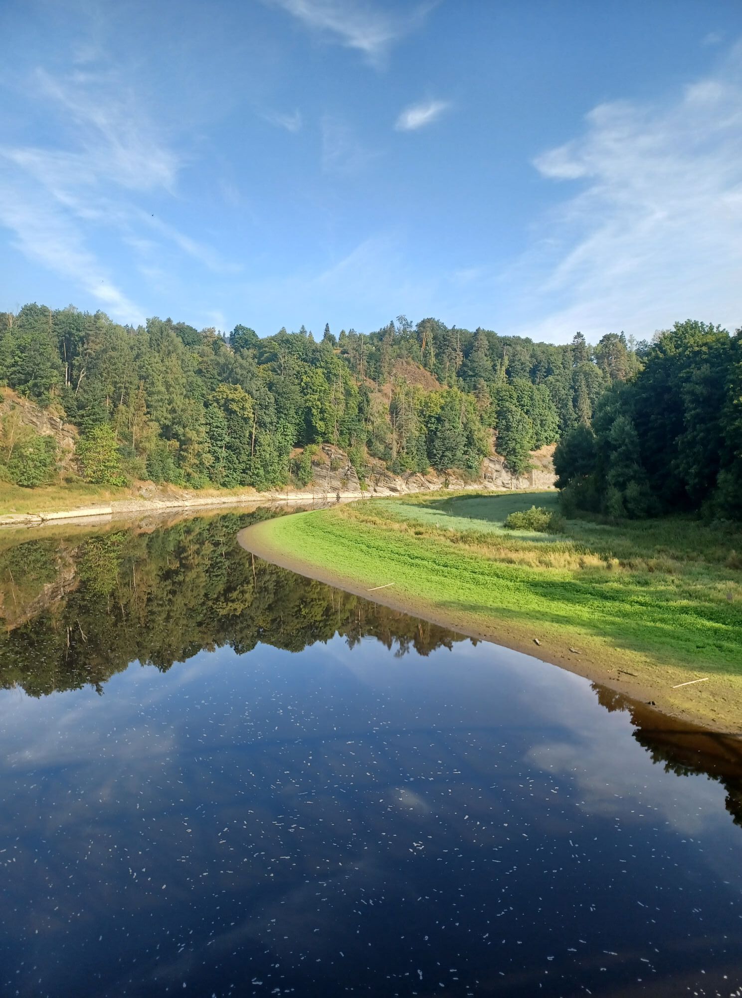
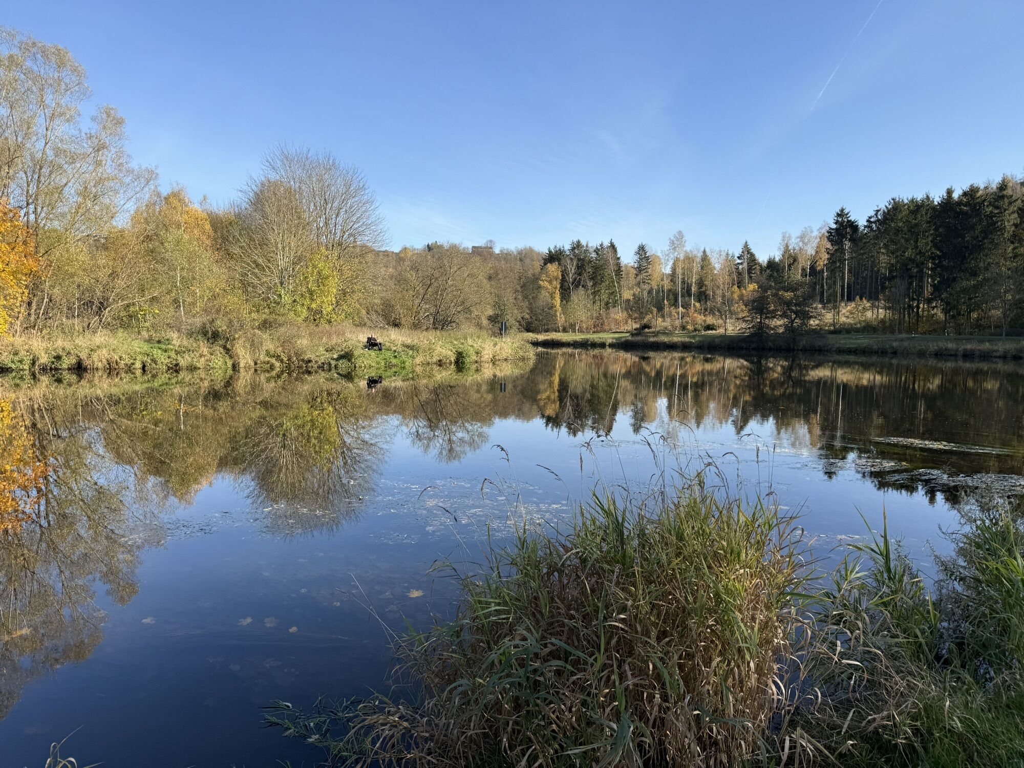
This stage on the Saale from Hirschberg to Harra requires sporting spirit, as there are some weirs in the water. Challenge yourself and enjoy wonderful, picturesque views from a perspective hidden to those...
This stage on the Saale from Hirschberg to Harra requires sporting spirit, as there are some weirs in the water. Challenge yourself and enjoy wonderful, picturesque views from a perspective hidden to those "on land."
In this section, the Saale was for 40 years the border river and today separates the federal states of Thuringia and Bavaria. Start your route in Hirschberg at the Steinmühlenwehr. There are sufficient parking possibilities there. This stretch is only navigable with a water level in Hof above 1.80 meters!
500 meters further, you must overcome your first obstacle on the right side. After 5 km, you come to the Sparnberg weir (right), followed 100 m further by the Sparnberg festival area (right) with an opportunity to rest.
Continue along the border river to the Blumenaumühle, the sporting highlight of this section. At the marked exit point (right), load your boat onto the brought boat trolley and carry it 600 m over the "Green Bridge" to the entry point on the Franconian side.
In Blankenberg, experienced paddlers find a canoe fish pass at the appropriate water level. A trip to the Bastei with castle ruins is also worthwhile. After about 2 km, you reach the Rennsteig community of Blankenstein where the Selbitz flows into the Saale. Here you find shopping options and tourist information (left). There is one more weir to overcome (right) before you can paddle carefree to Harra. Interesting insights are offered by the impressive pulp and paper factory. In Harra, there are resting and dining facilities (left).
Route
Hirschberg Kühnmühlenwehr (entry and exit point / carry around) Sparnberg weir (entry and exit point / carry around / rest area) Pottiga Blumenaumühle (carry around) Blankenstein paper factory (carry around, canoe pass not passable) Blankenstein Selbitzplatz (entry and exit point / rest area) Blankenstein weir (carry around) Harra (entry and exit point / rest area)
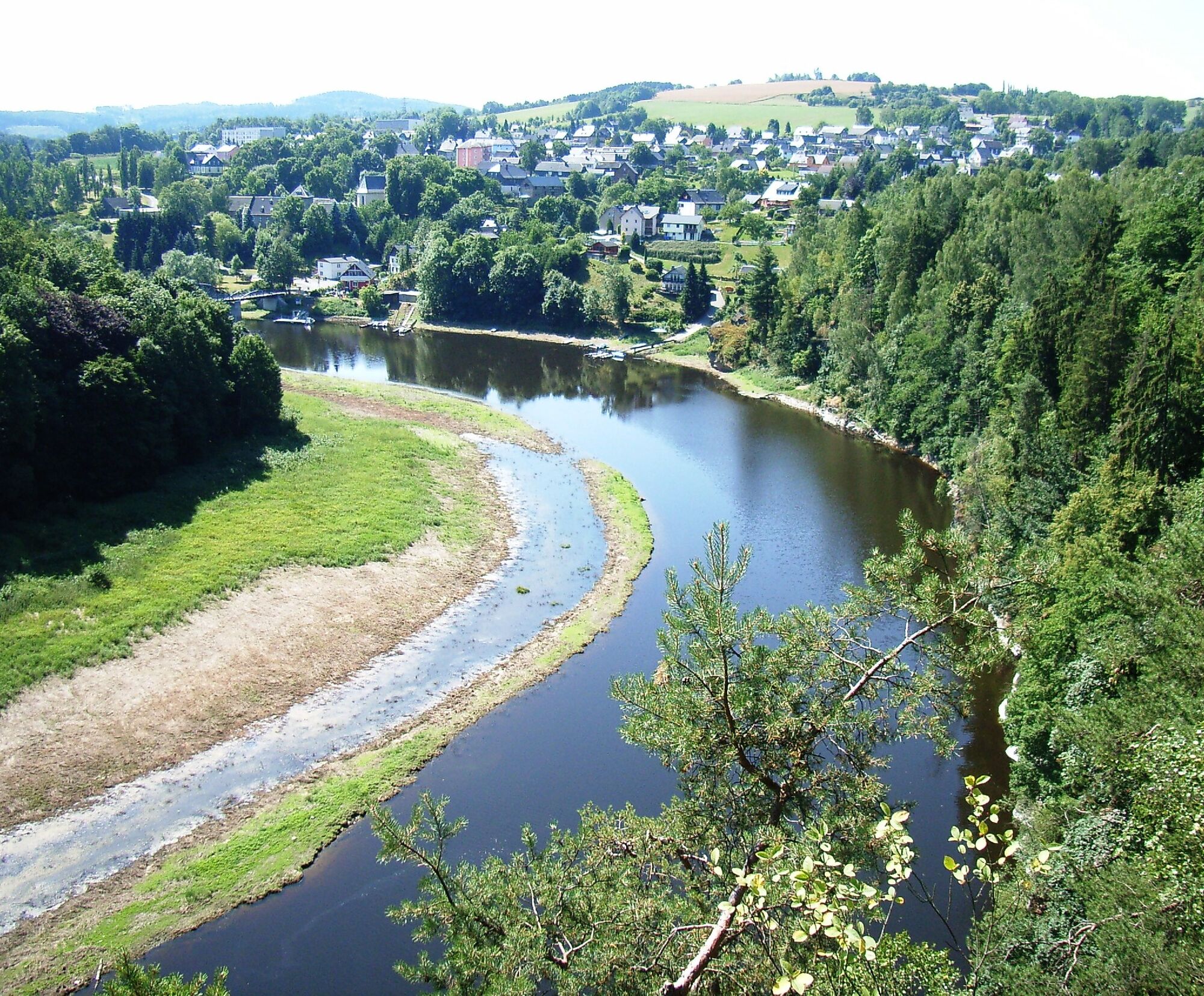

With the appropriate water level in Hof (minimum 1.80 m, current water level here), start your route in Hirschberg at the Steinmühlenwehr. 500 m further, you must overcome your first obstacle (right/re). After 5 km, you come to the Sparnberg weir (right), followed 100 m further by the Sparnberg festival area (right) with an opportunity to rest.
Continue along the border river to the Blumenaumühle, the sporting highlight of this section. At the marked exit point (right), load your boat onto the brought boat trolley and carry it about 600 m and over the "Green Bridge" to the entry point on the Franconian side. In Blankenberg, the canoe fish pass is not navigable (CLOSED!). Please carry around the weir. A trip to the Bastei with castle ruins is also worthwhile. After about 2 km, you reach the Rennsteig community of Blankenstein where the Selbitz flows into the Saale. Here you find shopping options and tourist information (left/li). There is one more weir to overcome (right) before you can paddle carefree to Harra. Interesting insights are offered by the impressive pulp and paper factory. In Harra, there are resting and dining facilities (left).
Life jacket, bathing shoes
The weirs and hydropower plants in the Saale must be carried around unless otherwise indicated. To carry around the canoes, you should be at least two people; for inflatable boats, at least four people are necessary.
Please note that the flow speed of the Saale depends on the water level. We advise against water hiking when the water level is too high after heavy rainfall.
The current water level at the Hof gauge can be found here.
3
On your arrival, you can visit the German-German Museum in Mödlareuth with the former border installations between the two German states.
Priljubljeni izleti v okolici
-
4.0
Höllental über Hirschsprung und unten wieder zurück
srednjaPohodništvo 9.61 km -
4.5
Hirschberg Primeval Forest Trail - Thuringian Primeval Forest Trails
svetlobaPohodništvo 2.84 km -
5.0
Saalepfad - Circular hike at the Green Belt
težkoPohodništvo 34.8 km -
5.0
Circular route - Schönblickweg - Harra
srednjaPohodništvo 7.80 km -
Hike - Rennsteig - Stage 8 - From Brennersgrün to Blankenstein
srednjaPohodništvo 20.8 km -
4.0
Rund um die BleilochTalsperre - Saalburg Beach und zurück
srednjaE-MTB 20.1 km -
Roßkunst Geopath - Harra
srednjaPohodništvo 6.23 km -
Circular hiking trail - Mushroom experience trail Gräfenwarth - Thuringia
srednjaTematska pot 5.48 km -
Venzka - Hirschberg - Saalesteg - Venzka
srednjaPohodništvo 8.24 km -
4.0
Von Wurzbach zum Häslich
svetlobaPohodništvo 6.70 km
Pohodništvo in sledenje


Ne zamudite ponudb in navdiha za naslednje počitnice
Vaš e-poštni naslov je bil dodan na poštni seznam.





