







The Alps Route of the Bedretto Valley
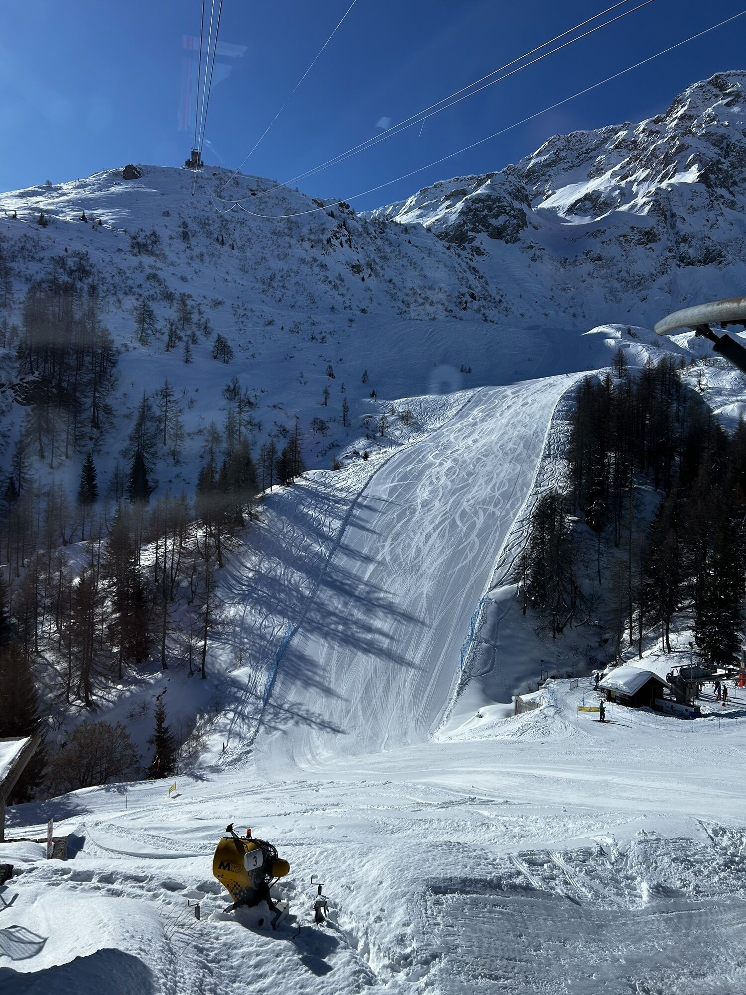
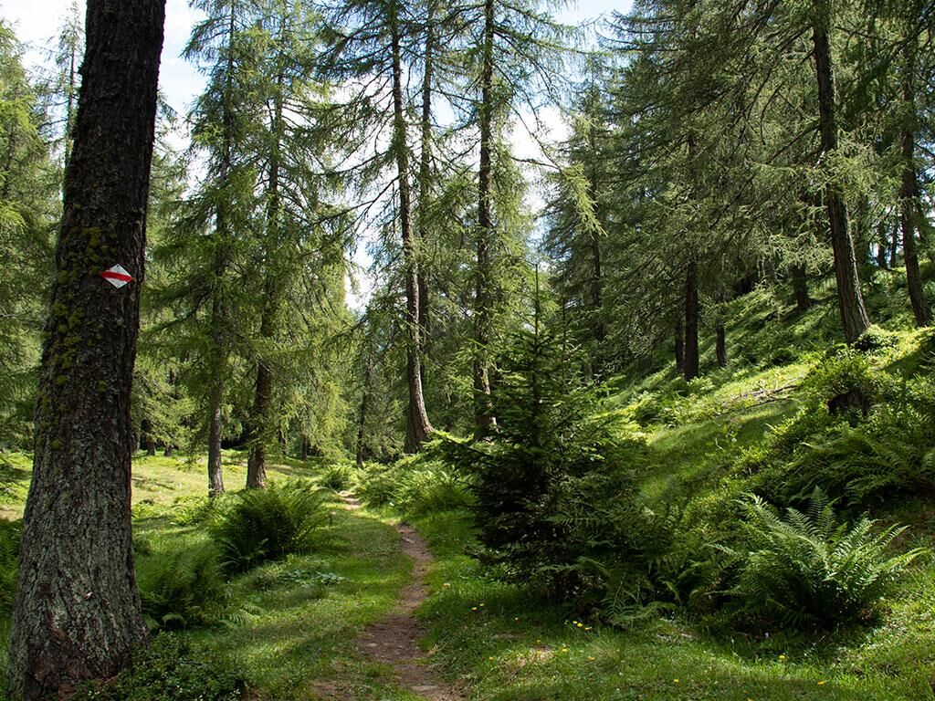
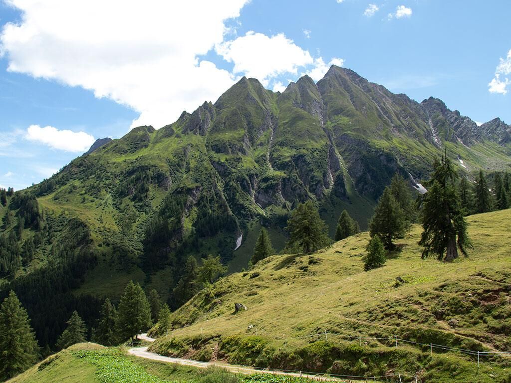
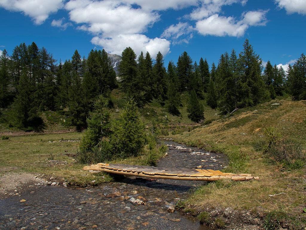
Between Airolo-Pesciüm and Ronco, at an altitude of 1700/1800 m, runs the "Alps Route" of the Bedretto Valley. A particularly beautiful route due to its wild nature, rich in colors and silences.
The starting...
Between Airolo-Pesciüm and Ronco, at an altitude of 1700/1800 m, runs the "Alps Route" of the Bedretto Valley. A particularly beautiful route due to its wild nature, rich in colors and silences.
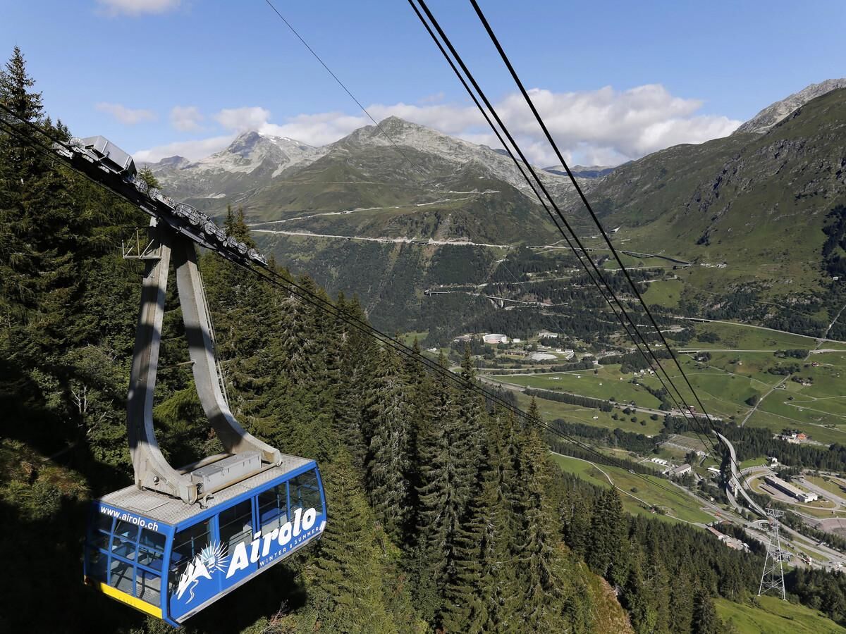
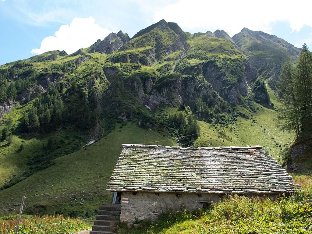
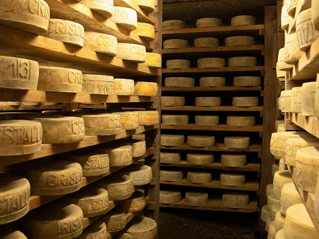
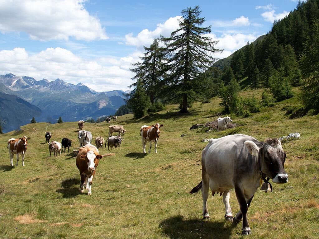
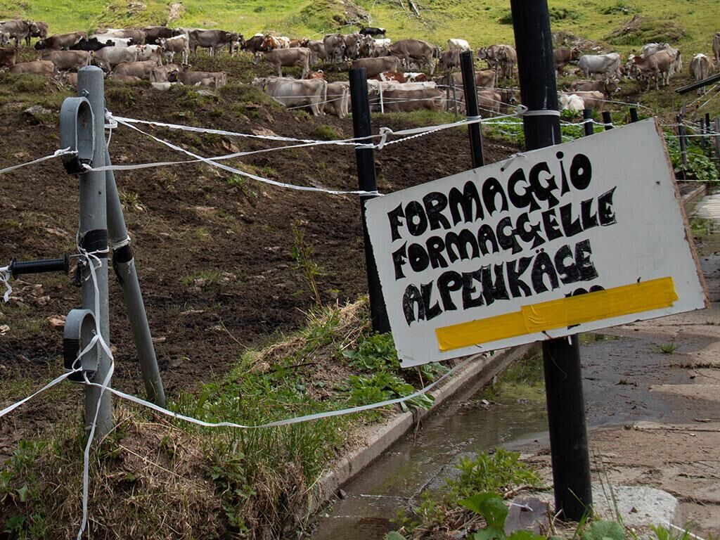
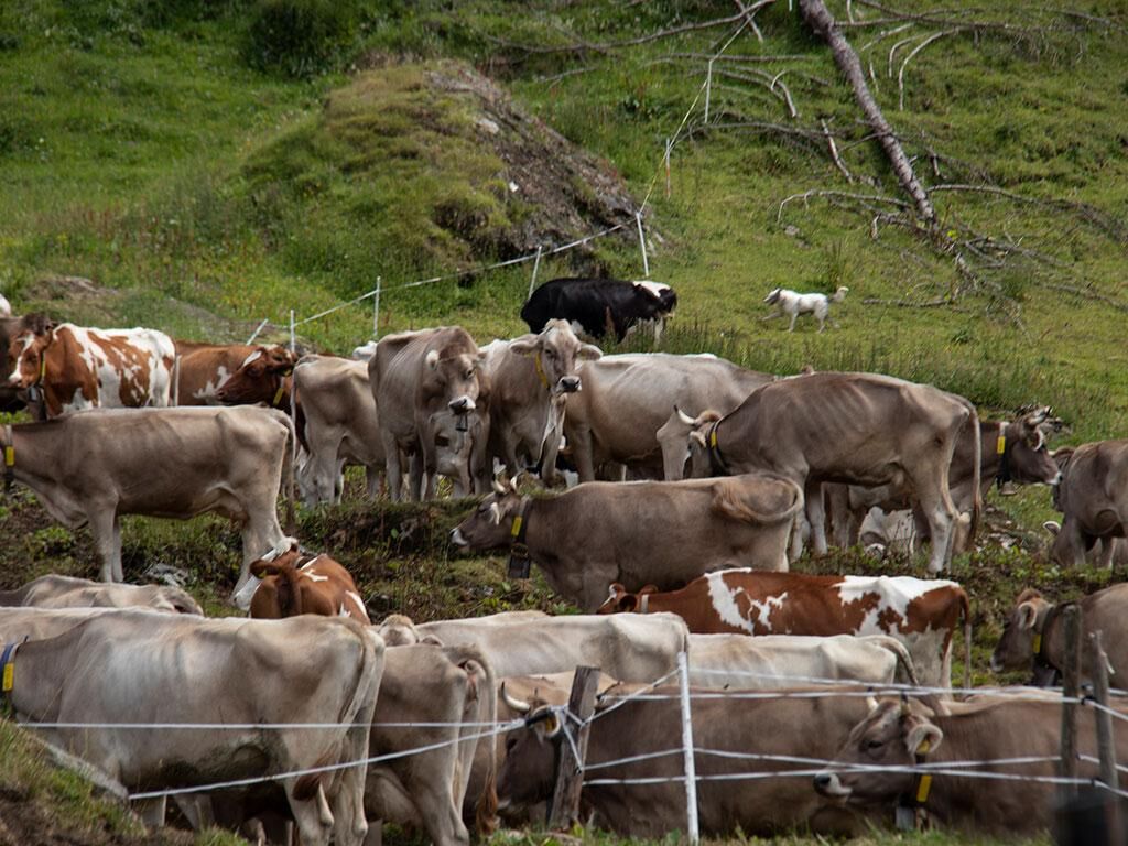
The starting point is Pesciüm, accessible by cable car from Airolo. The cable car departure is perfectly equipped with a large parking area or easily reachable within a few minutes by bus from Airolo train station. Once at Pesciüm, you immediately pass the Alpe Pesciüm Restaurant, where you can observe the Tremola valley road opposite us, the old winding mountain pass road of the Gotthard. Numerous alpine pastures are crossed until reaching Ronco. One of these, the Cristallina Alpine Pasture (1800 m), is still active and when open, allows visits to the cellars and the purchase of fresh cheese directly from the alpine farmer. The Alpine Pasture also offers a beautiful view of Pizzo Rotondo and Pizzo Lucendro.
After the Cristallina Alpine Pasture, you reach the Folcra Alpine Pasture (1921 m), the highest point of the hike. From here, an easy descent begins through numerous pastures: a dream landscape! The Valleggia Alpine Pasture is the last alpine pasture on the way before reaching Ronco, where you can take the PostBus back to Airolo.


Da
Da
Trekking boots
Cap
Water bottle
Sunglasses
Sunscreen
Hiking map
Camera
Food
Montagnepulite: This project was created to promote effective and sustainable management of alpine huts in the Ticino region. Specifically, waste management. Responsible waste management in the mountains is a matter of common sense. We can all contribute: www.motagnepulite.ch
For the more trained, there is the possibility to return from Ronco to Airolo by taking the long Strada Bassa path, thus extending the route by about 9 km.
To enjoy the route, we recommend purchasing the official maps from the Federal Office of Topography Swisstopo. Additionally, the website map.geo.admin.ch offers constantly updated data.
Pridobite vpogled Vedno v živo na mestu z več kot 9.500 spletnimi kamerami. bergfex Kot uporabnik Pro si lahko zdaj ogledate ustrezne spletne kamere za številne izlete v aplikaciji izleti iz. Tako si lahko neposredno ogledate trenutne razmere. Priljubljeni izleti v okolici
- 4.4
Lakes Orsino, Orsirora and Valletta Route
Pohodništvo 12.8 km - 4.8
Fusio-Lake Mognola-Fusio
srednjaPohodništvo 8.94 km Furka Pass – Rhone Glacier
svetlobaPohodništvo 3.59 km- 4.8
Ciaspolata al Rifugio Maria Luisa
srednjaSnežni čevlji 11.2 km Via Alta Vallemaggia
težkoPohodništvo 169.7 km- 3.5
Circular hike Furka Pass-Tällistock
srednjaPohodništvo 11.0 km - 4.0
Capanna Piansecco
svetlobaSnežni čevlji 7.26 km von Albert-Heim-Hütte via Nepali Highway und Sidelenhütte nach Furkapass
težkoPohodništvo v daljavo 8.40 kmVal Piora lakes route
srednjaPohodništvo 15.8 km- 5.0
Lago del Naret-Sasso Nero-Lago del Naret
srednjaPohodništvo 8.55 km
Pohodništvo in sledenje


Ne zamudite ponudb in navdiha za naslednje počitnice
Vaš e-poštni naslov je bil dodan na poštni seznam.





