







Linescio-Campo Vallemaggia

Stopnja težavnosti: T2
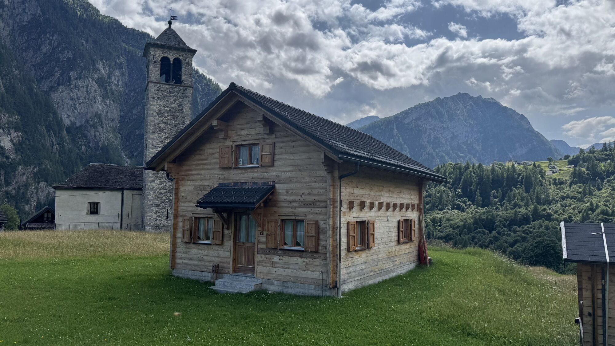
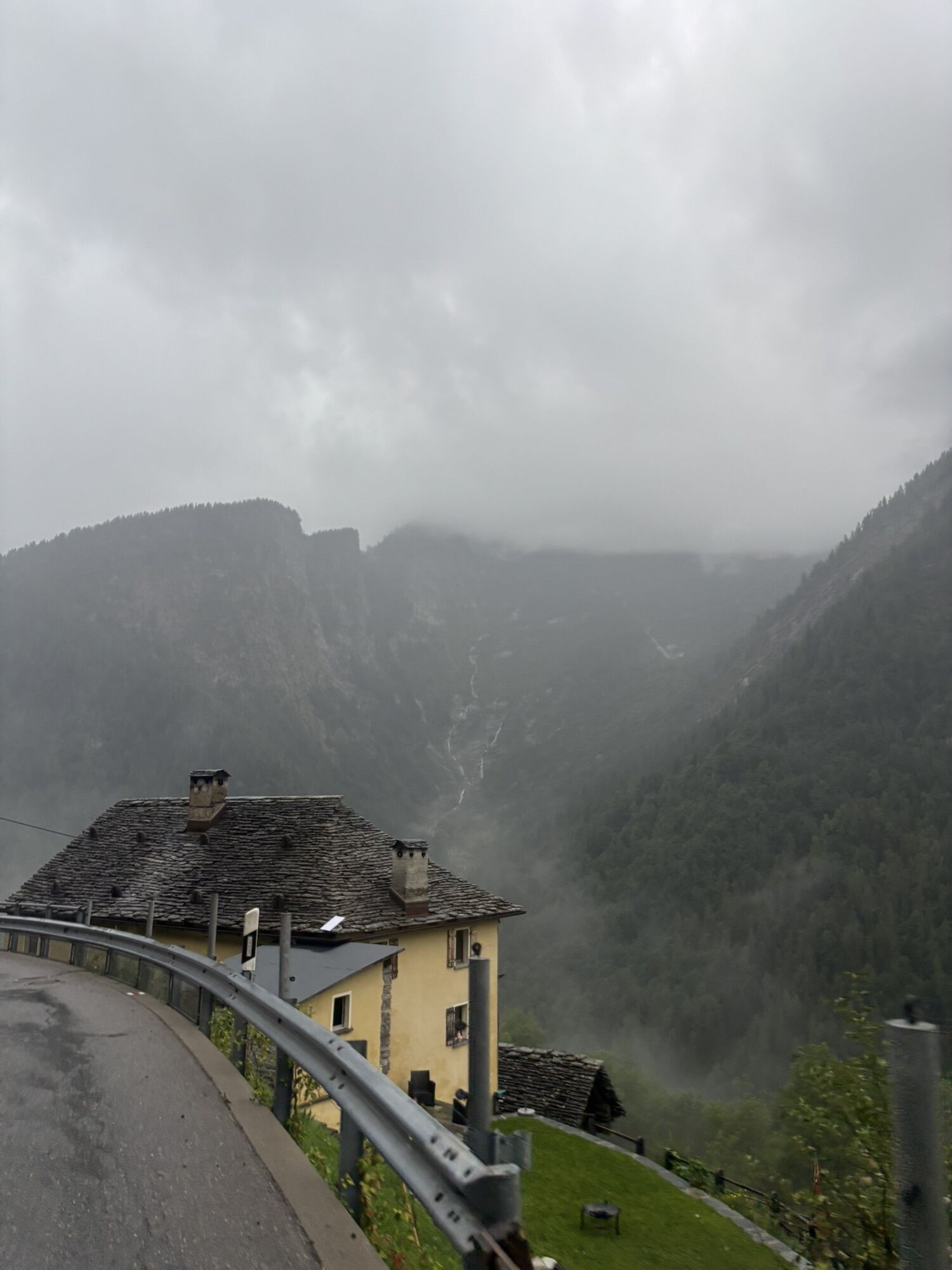
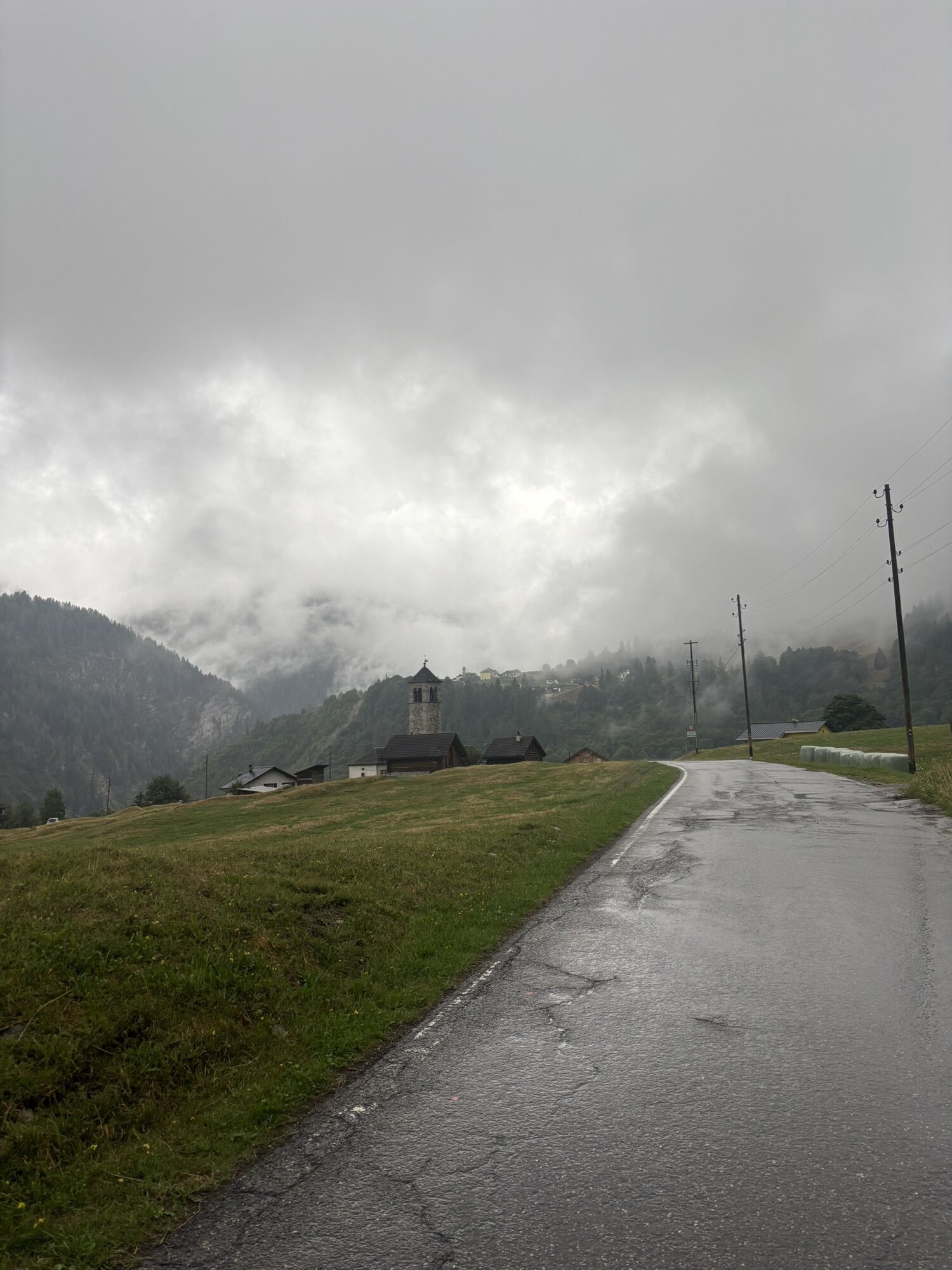
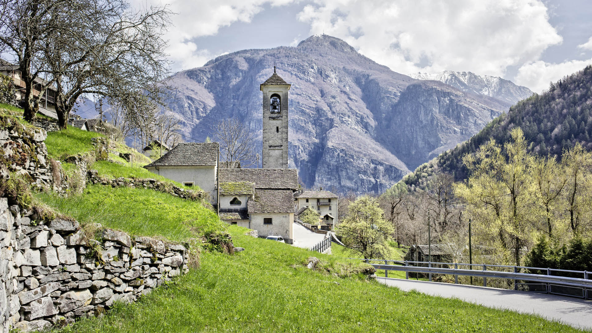
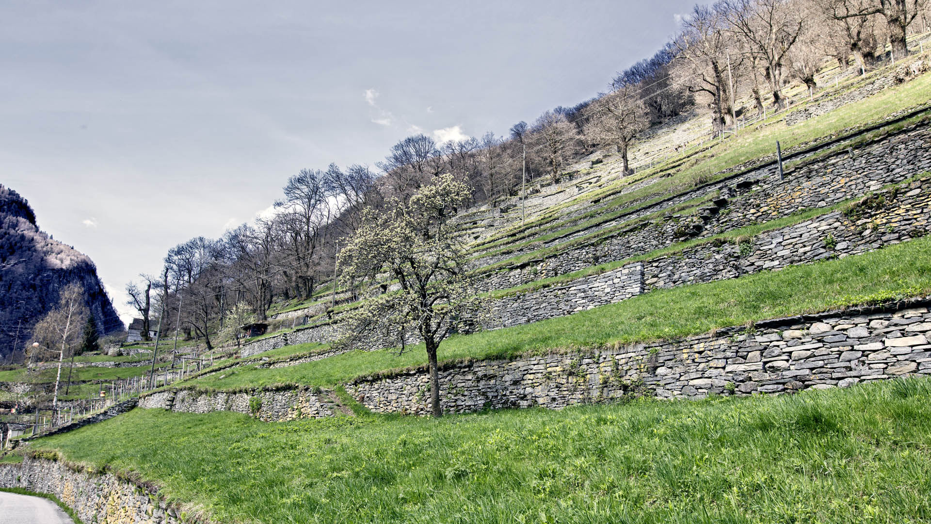
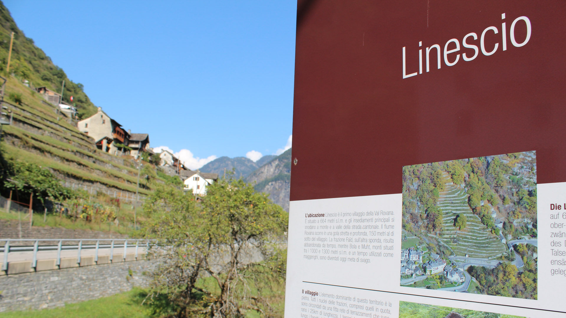
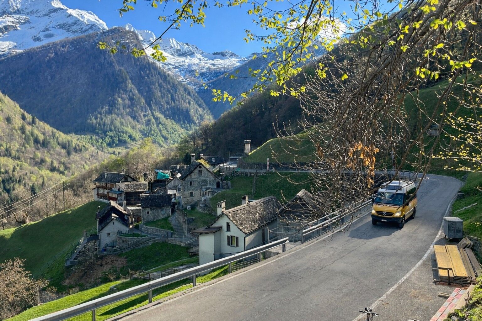
After a winding road, arriving in Linescio is well worth the journey. As the first village in the valley, it impresses visitors with nearly 25 kilometres of dry-stone walls – an extraordinary testament...
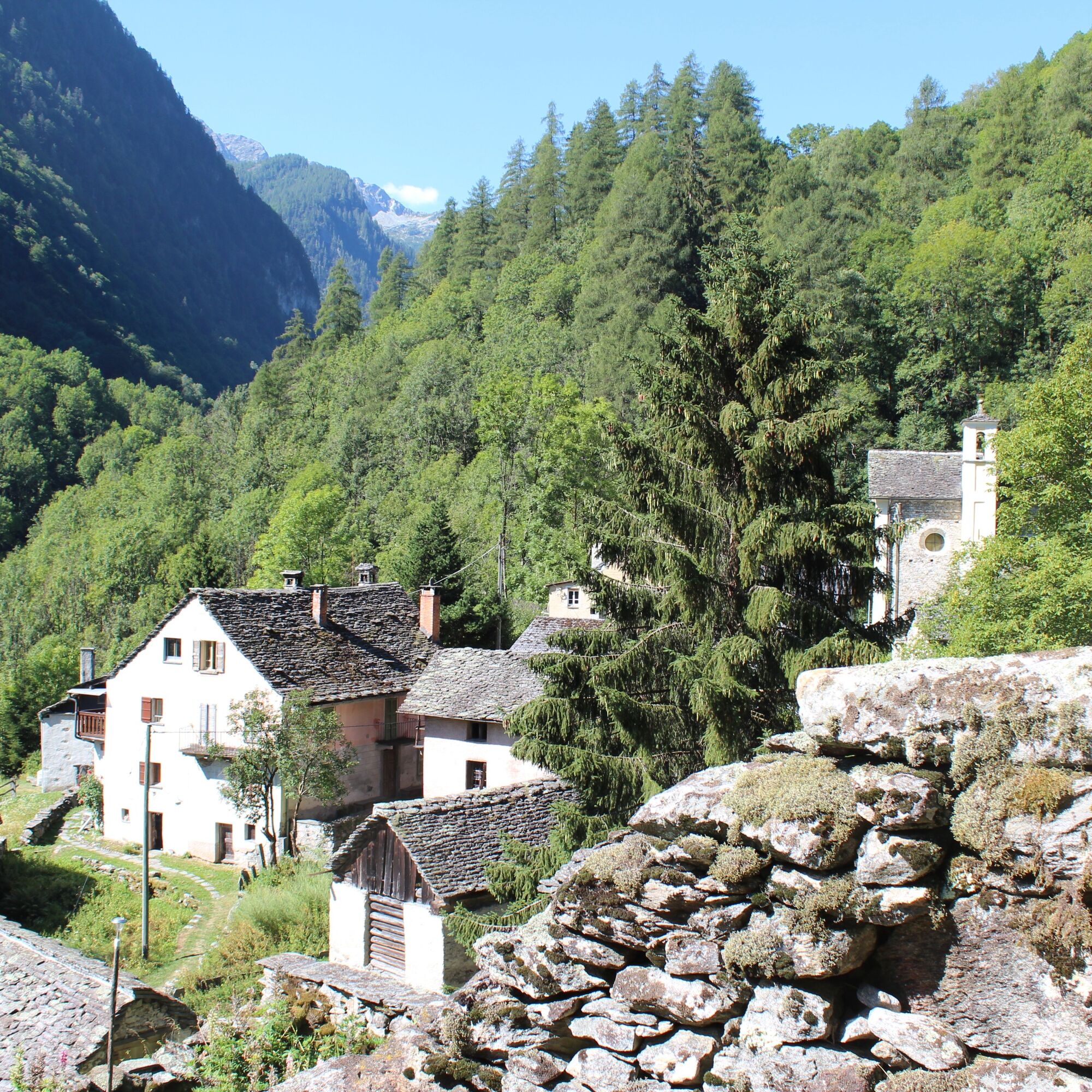
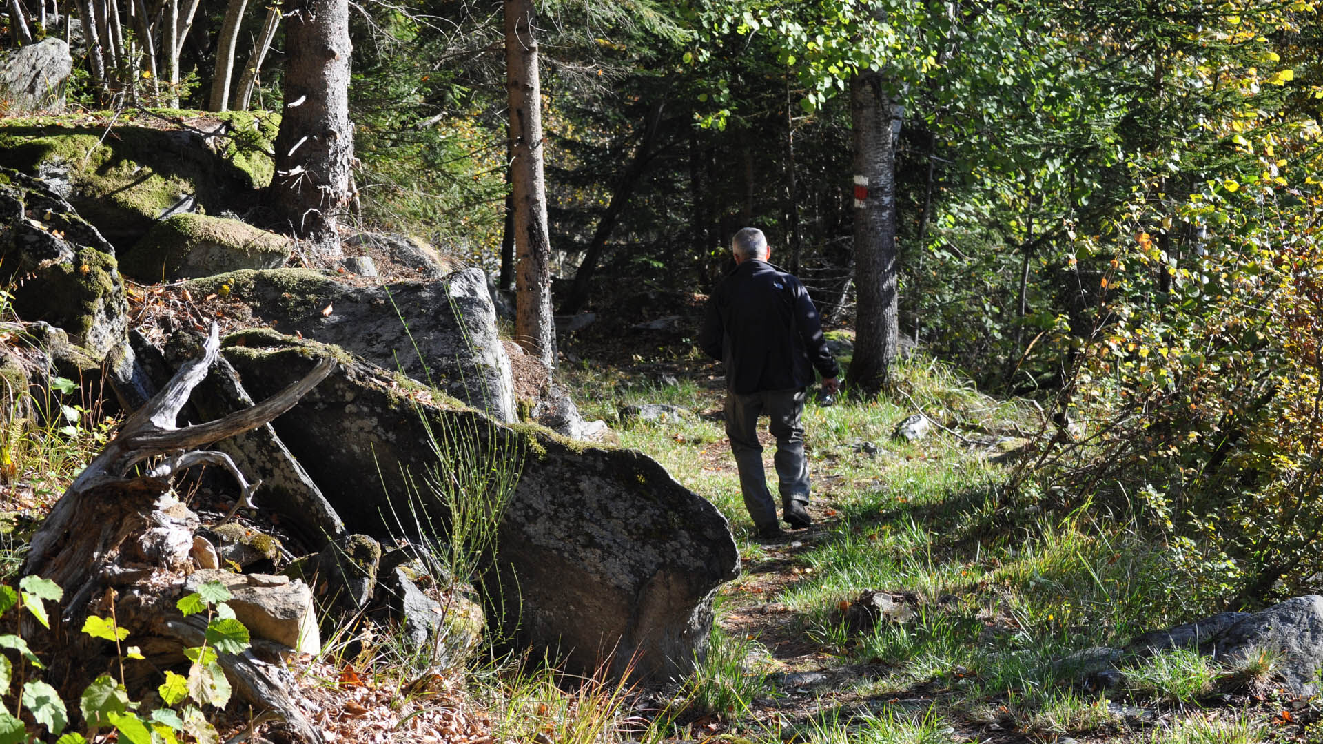
The route begins at the village church and winds past old stone houses and a scenic staircase framed by high stone walls. Gradually, hikers enter a dense mixed deciduous forest that has reclaimed land once intensively cultivated. Near Camvera, only the attentive observer will notice traces of the former rural civilisation: this place, inhabited until the 18th century and now almost vanished, retains a quiet, melancholic charm.
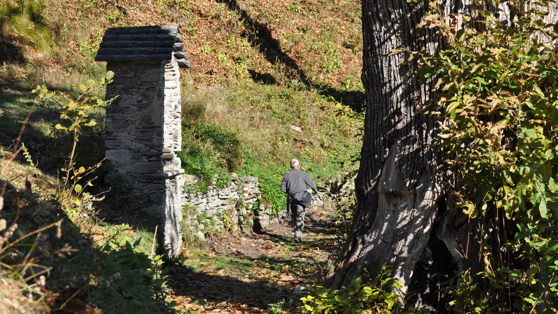
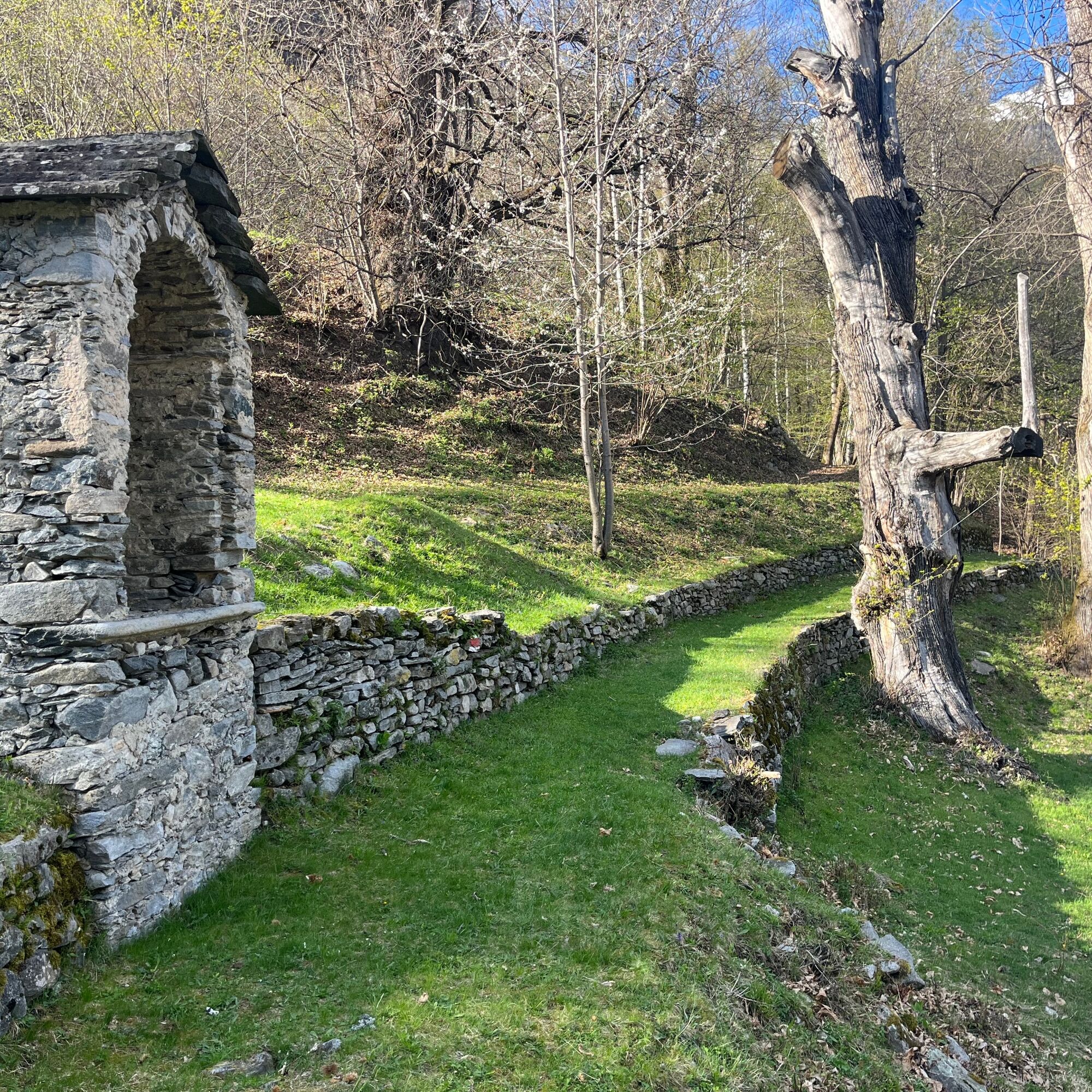
Continuing towards Collinasca, a hamlet of Cerentino adorned with a charming oratory, majestic chestnut trees line the path. Once carefully tended, they were essential to the survival of the local population and still evoke ancient traditions and knowledge.
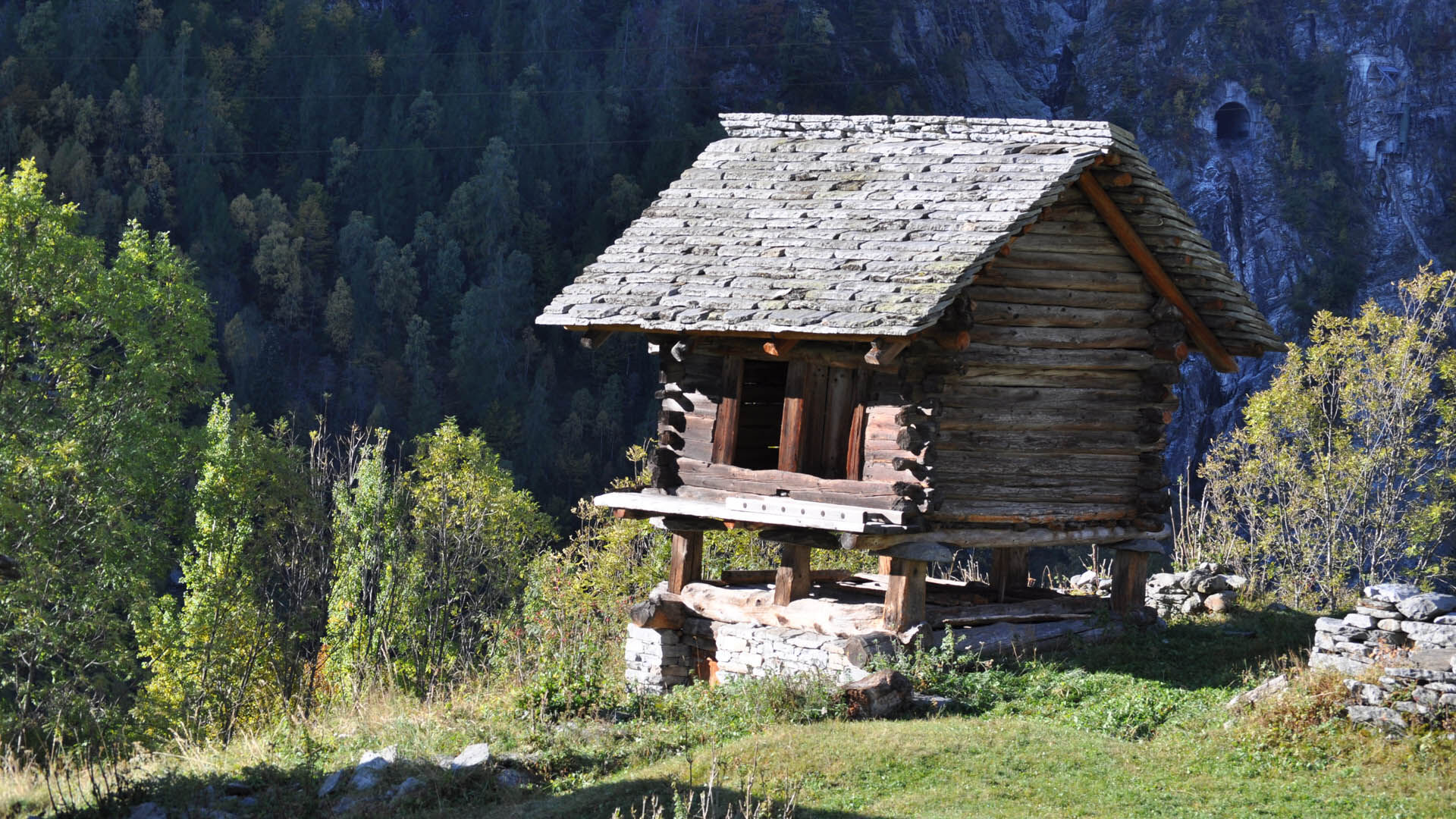
From the main village of Cerentino, the trail leads to Piedipiodi and then to Niva, where wide meadows offer bright and relaxing views. Beyond the village, the path re-enters the forest towards Gròsa, where evocative traces of an abandoned settlement emerge – a timeless place that sparks the imagination.
Upon reaching Piano di Campo, the landscape suddenly opens up, revealing the famous landslide that long threatened to engulf the plateau. The hike ends in Campo (Vallemaggia), where the church is well worth a visit. It still bears visible marks of the geological movement that once endangered its stability – a tangible sign of nature’s power and the community’s resilience.
For the return journey, it is advisable to check the postbus timetable in advance so you can enjoy the experience with complete peace of mind.

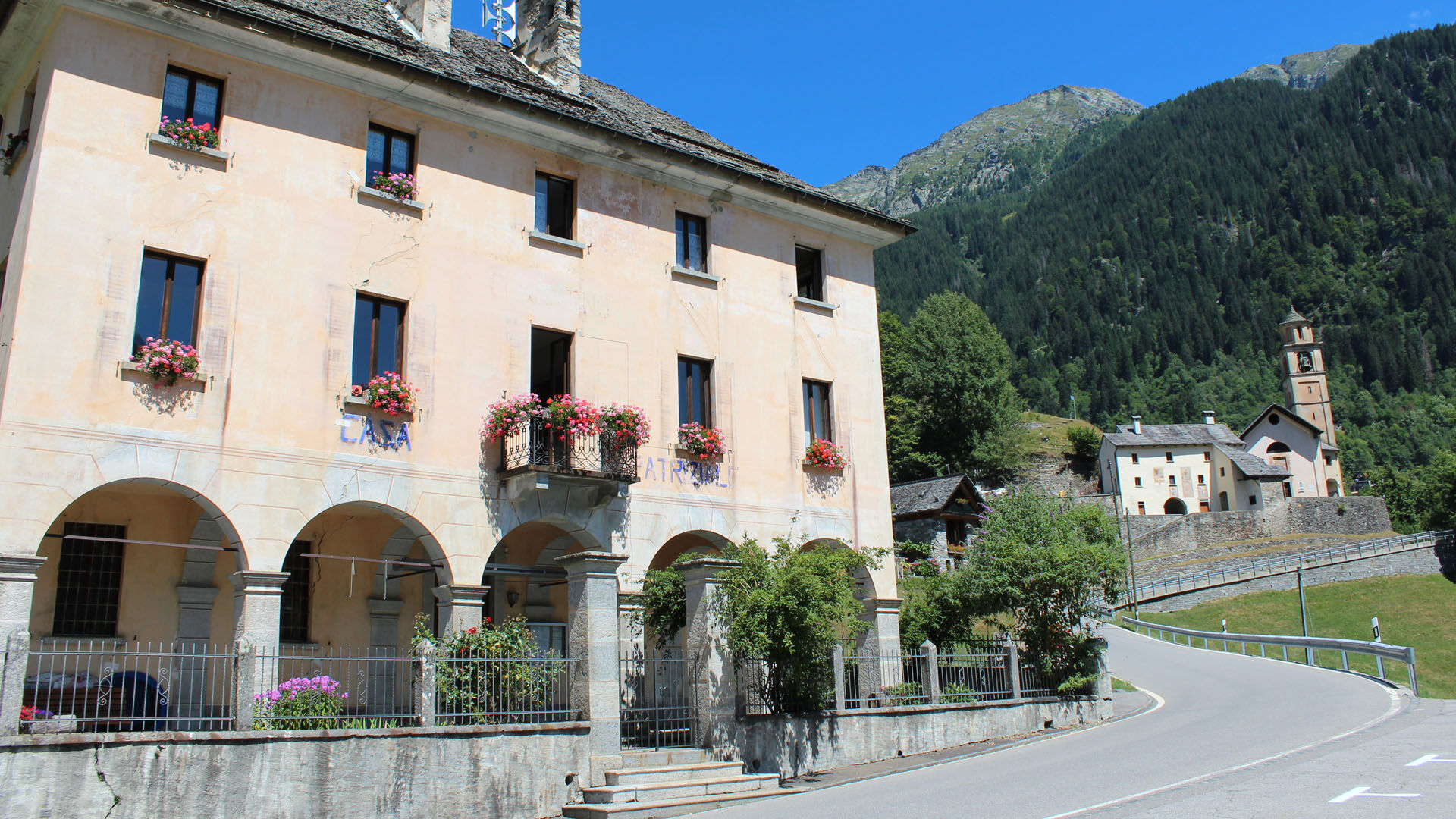
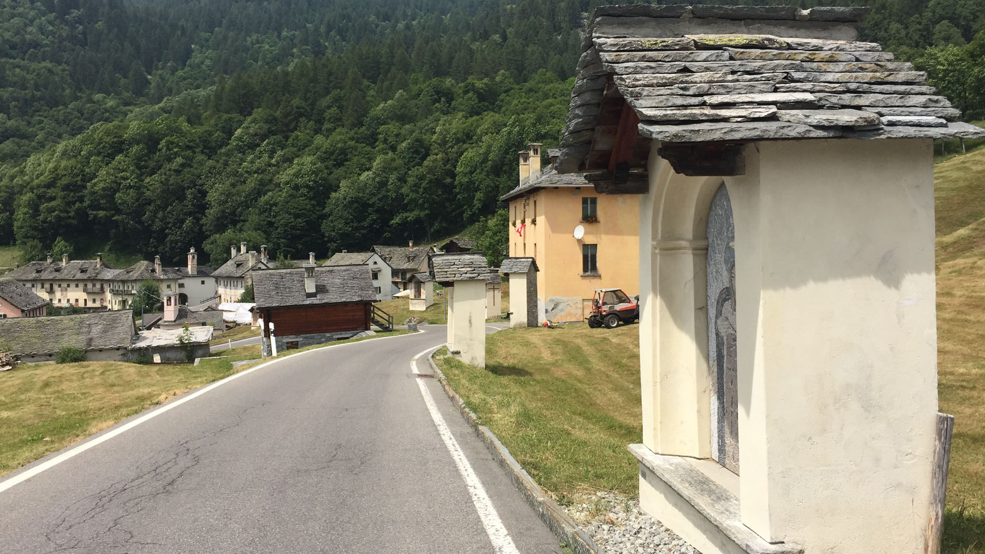

Linescio-Collinasca-Cerentino-Perdipiodi-Niva-Piano di Campo-Campo Vallemaggia
Da
Da
Hiking backpack (approx. 20 liters) with rain cover
Sturdy and comfortable shoes
Clothing suitable for weather conditions and durable, layered clothing principle and possibly trekking poles
Sun and rain protection
Supplies and drinking water
First aid kit
Pocket knife
Mobile phone, optionally headlamp
Map material
Outbound from Locarno, Station: take bus NFB 315, direction Cavergno, Village. Get off at Cevio, Center stop. 2 min walk to Cevio, Post stop and take bus 331 towards Bosco Gurin, Village. Get off at Linescio, Village.
Return from Campo Vallemaggia: take bus 332 to Cerentino then bus 331 to Cevio, Post. 2 min walk to Cevio, Center stop. Take bus NFB 315 direction Locarno, Station. For more information: www.sbb.ch
T2

Priljubljeni izleti v okolici
- 4.7
Foroglio-Calnègia-Foroglio
srednjaPohodništvo 8.37 km Maggia-Someo-Maggia
svetlobaPohodništvo 15.5 km- 5.0
Spruga-Alpe Saléi-Comologno
srednjaPohodništvo 8.96 km - 5.0
In the footsteps of Mr. Geiser
srednjaTematska pot 6.73 km Glaciological Path
srednjaPohodništvo 8.18 km- 5.0
Bignasco-San Carlo
srednjaPohodništvo 12.8 km Maggia Valley Route - Stage 2: Locarno-Cavergno
srednjaKolesarjenje 35.3 km- 5.0
Cimalmotto-Lake Sfii-Cimalmotto
srednjaPohodništvo 12.6 km - 5.0
Bosco Gurin-Lago Melo-Lago Pero-Bosco Gurin
srednjaPohodništvo 10.6 km - 5.0
TESSIN | Foroglio
srednjaPohodništvo 3.86 km

Pohodništvo in sledenje


Ne zamudite ponudb in navdiha za naslednje počitnice
Vaš e-poštni naslov je bil dodan na poštni seznam.





