







Castelliere Ruins Route (SvizzeraMobile 637)

Stopnja težavnosti: T2

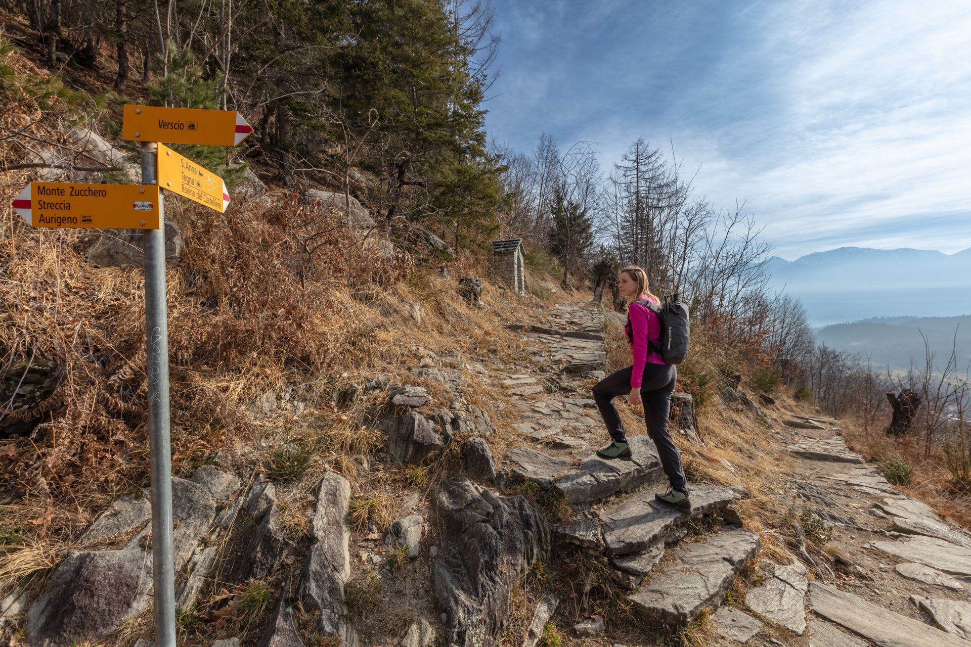
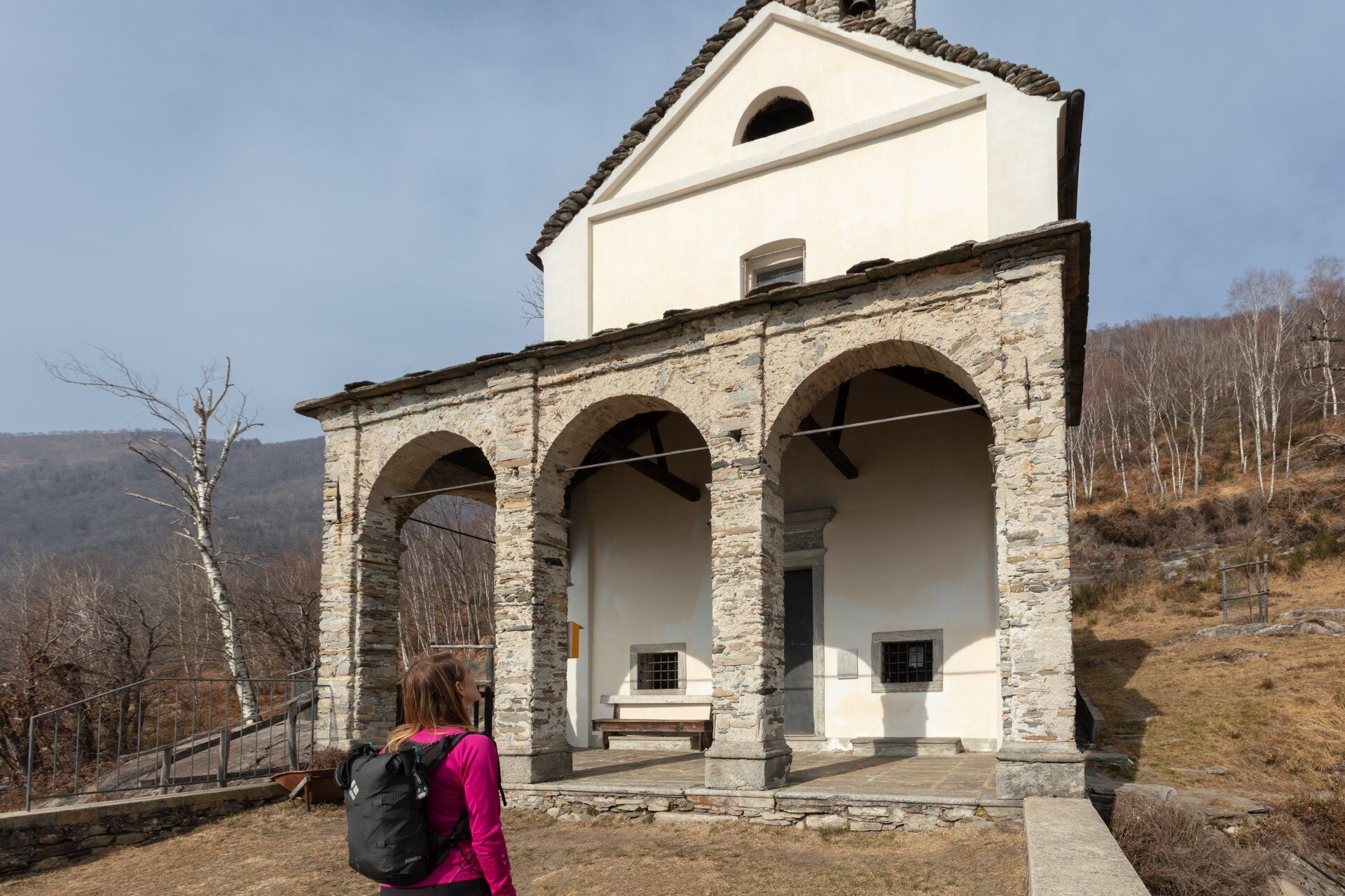
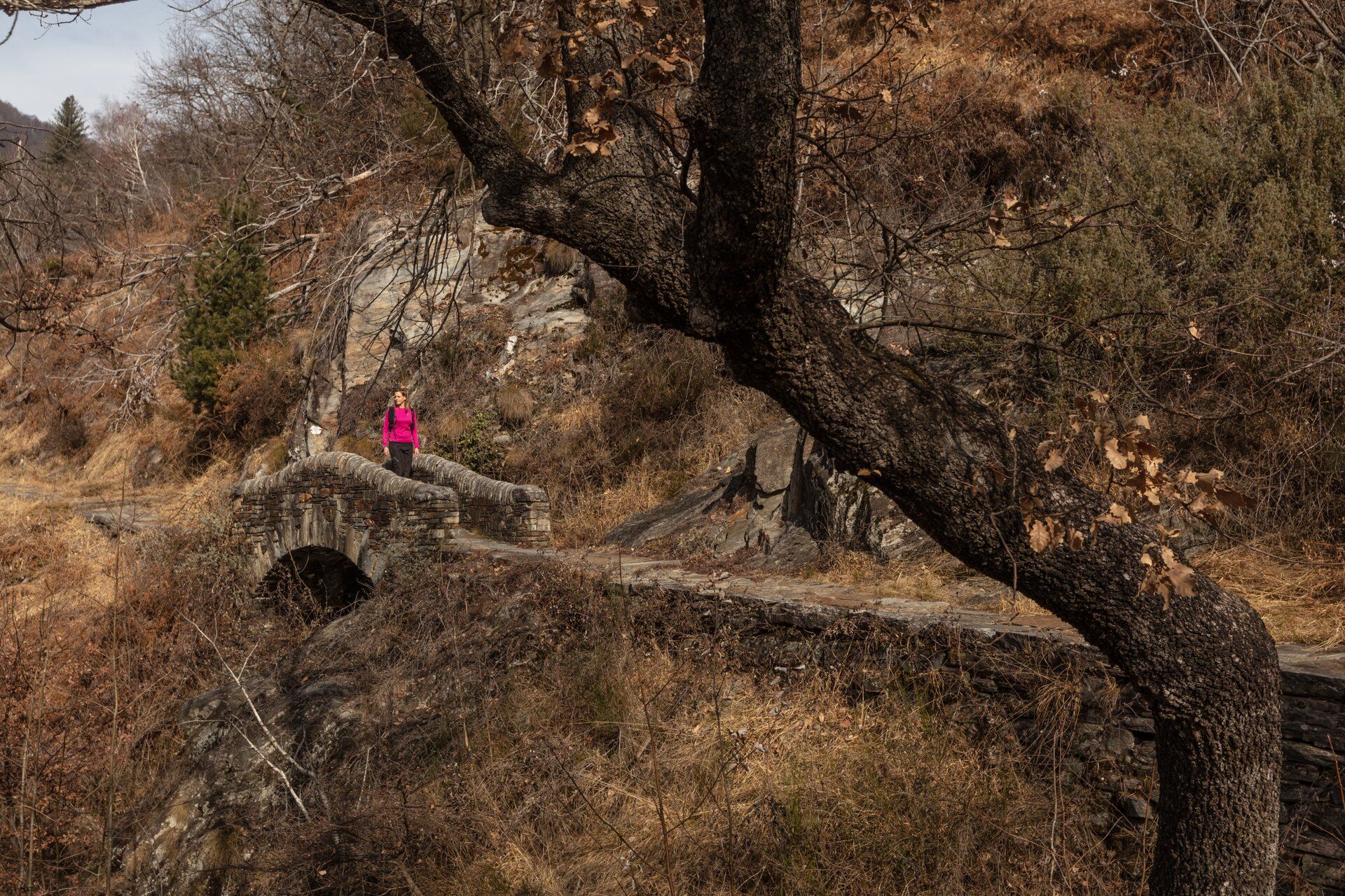
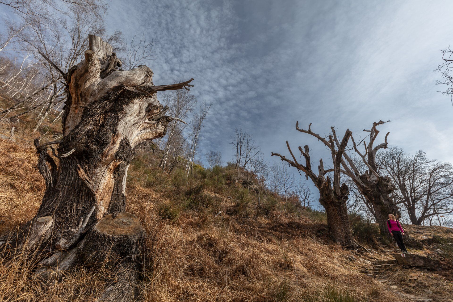
From Verscio, the hiking trail covered with stone slabs winds up to the Sant'Anna oratory. The stepped path is flanked by gnarly chestnut trees, birches, and old beeches. Upon reaching the small chapel...
From Verscio, the hiking trail covered with stone slabs winds up to the Sant'Anna oratory. The stepped path is flanked by gnarly chestnut trees, birches, and old beeches. Upon reaching the small chapel dating back to the 17th century, you can enjoy a charming view of Lake Maggiore, the Maggia delta, and the wild Centovalli.
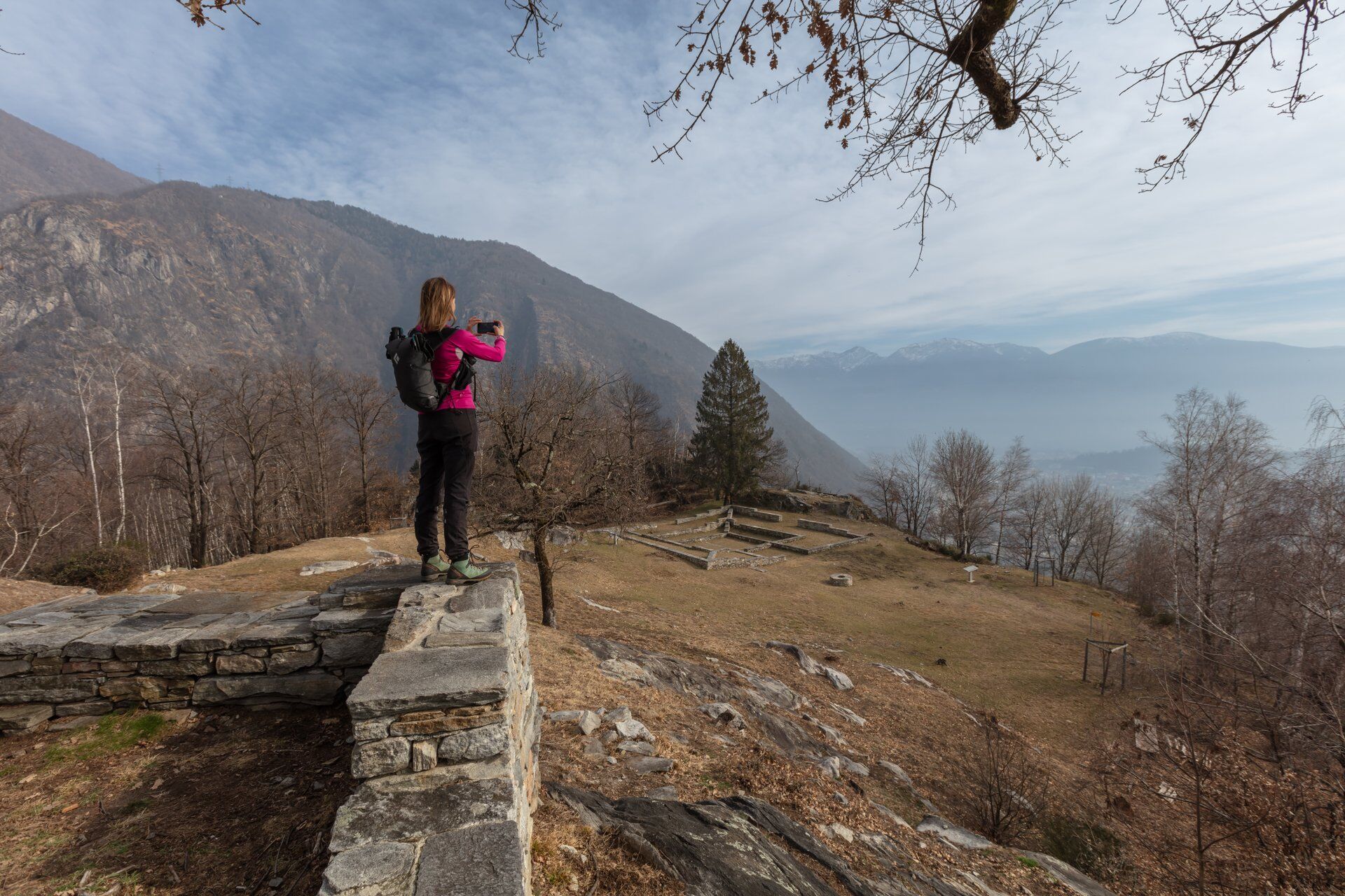
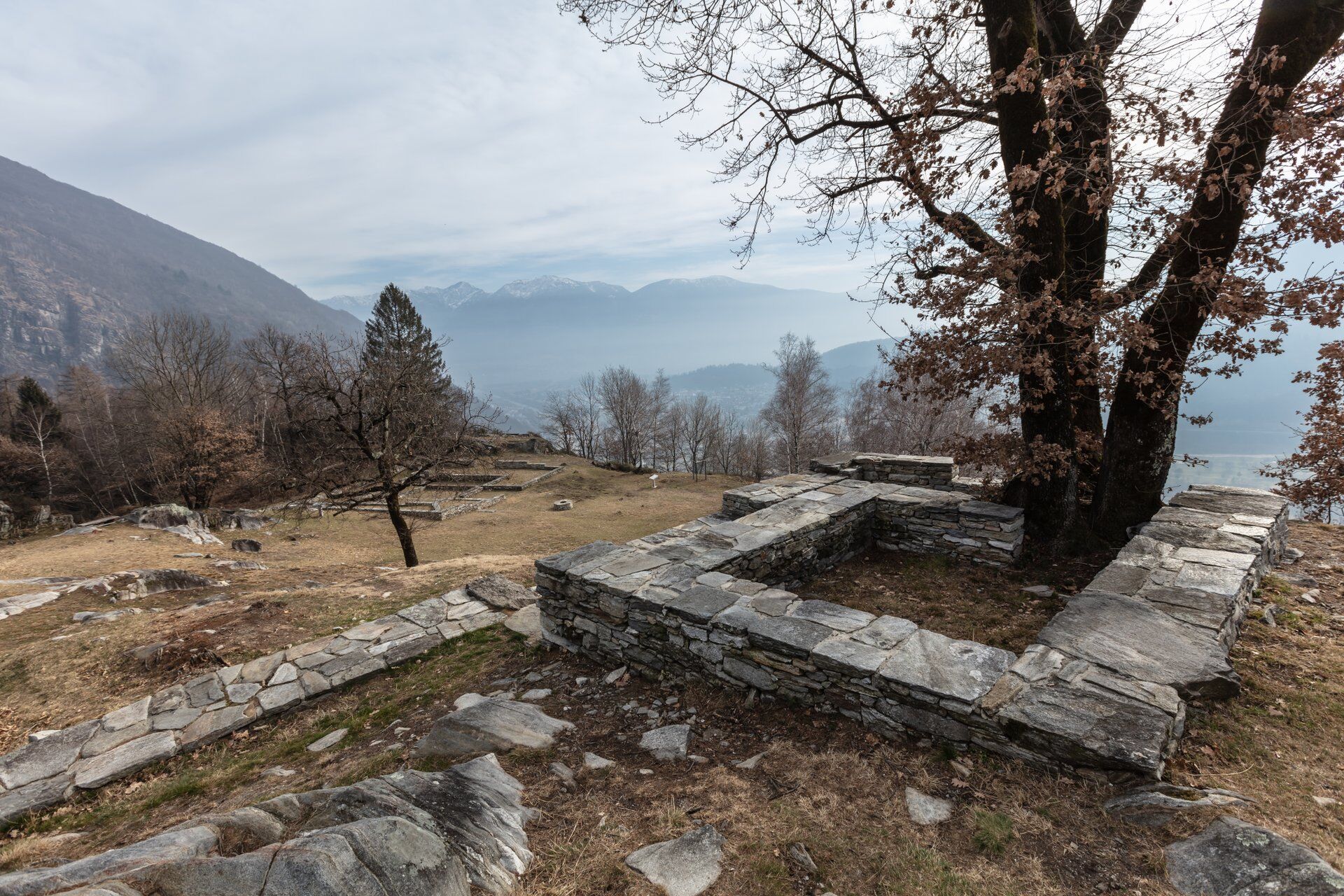
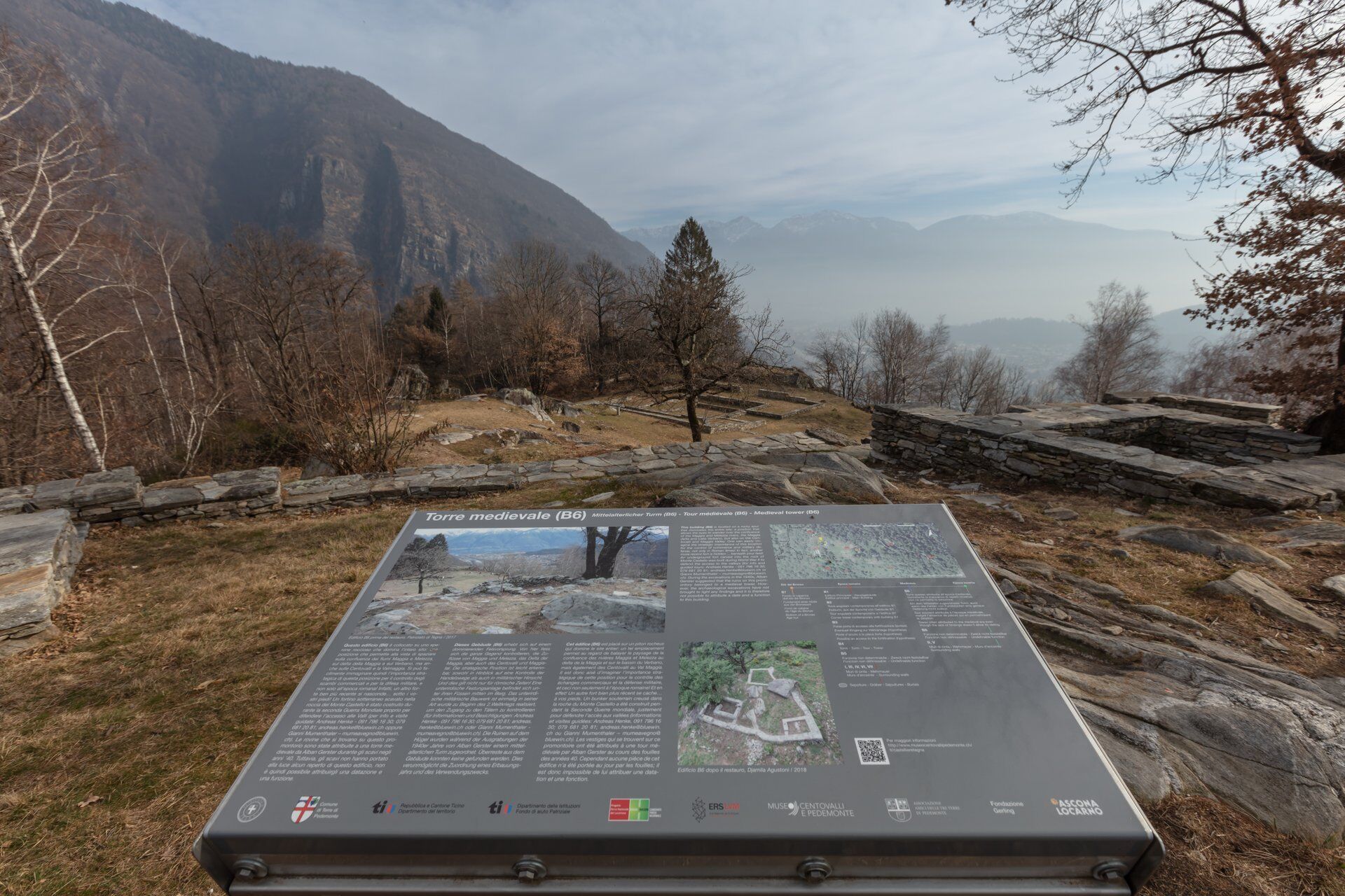
After a short descent, there is one last arduous climb to the Castelliere. The prehistoric ruins, located on a promontory overlooking Tegna, are one of the most important archaeological sites in the Locarno region. The discovery of stone and flint tools indicates early human presence dating back to the Neolithic period (5500-2200 BC). Restoration work uncovered masonry remains and impressive finds from the Roman and Medieval periods. From here, the view of the two rivers Maggia and Melezza as well as Lake Maggiore is fantastic.
Making a wide curve, the route descends back into the valley. On the way down, you pass rustic and cozy grotti. The view extends to the impressive entrance of the valley. In the depths of the Ponte Brolla gorge, with its smoothed granite rocks and bizarre rock formations, the waters of the Maggia swirl turbulently. Hidden natural beaches and pools are ideal for cooling off before shortly reaching the Ponte Brolla station.
(Source: SvizzeraMobile)


Ponte Brolla-Grotto America-Meadows of the chapel-Prehistoric Castelliere of Tegna-Monte Forcola-Sant'Anna Oratory-Verscio
Hiking backpack (approx. 20 liters) with rain cover
Sturdy and comfortable shoes
Weather-appropriate and durable clothing, layering principle, and possibly trekking poles
Protection from sun and rain
Provisions and drinking water
First aid kit
Pocket knife
Mobile phone, possibly headlamp
Map material
From Locarno: take bus B 315 towards Cavergno and get off at the stop Ponte Brolla, Station.
T2
 Pridobite vpogled
Vedno v živo na mestu z več kot 9.500 spletnimi kamerami. bergfex Kot uporabnik Pro si lahko zdaj ogledate ustrezne spletne kamere za številne izlete v aplikaciji izleti iz. Tako si lahko neposredno ogledate trenutne razmere.
Pridobite vpogled
Vedno v živo na mestu z več kot 9.500 spletnimi kamerami. bergfex Kot uporabnik Pro si lahko zdaj ogledate ustrezne spletne kamere za številne izlete v aplikaciji izleti iz. Tako si lahko neposredno ogledate trenutne razmere.

Priljubljeni izleti v okolici
-
4.8
Valle del Salto round route (SvizzeraMobile 611)
srednjaPohodništvo 8.84 km -
4.9
Verzasca Dam-Mergoscia-Corippo-Lavertezzo
srednjaPohodništvo 13.0 km -
4.8
Avegno-Ponte Brolla-Avegno
srednjaPohodništvo 8.56 km -
3.3
Entlang der Verzasca von Sonogno via Brione nach Lavertezzo
svetlobaPohodništvo 14.5 km -
5.0
Lavertezzo-Brione Verzasca
svetlobaPohodništvo 6.50 km -
4.5
Revöira Ethnographic Trail (SwitzerlandMobile 629)
srednjaPohodništvo 7.97 km -
3.8
Cannobio zu Sant’Aagata
svetlobaPohodništvo 5.85 km -
4.0
Cardada Bike (SwitzerlandMobility 397)
težkoMountainbike 30.6 km -
5.0
Verzasca Dam-Monti di Motti-Verzasca Dam
srednjaPohodništvo 9.31 km -
Maggia-Someo-Maggia
svetlobaPohodništvo 15.5 km
Pohodništvo in sledenje


Ne zamudite ponudb in navdiha za naslednje počitnice
Vaš e-poštni naslov je bil dodan na poštni seznam.





