


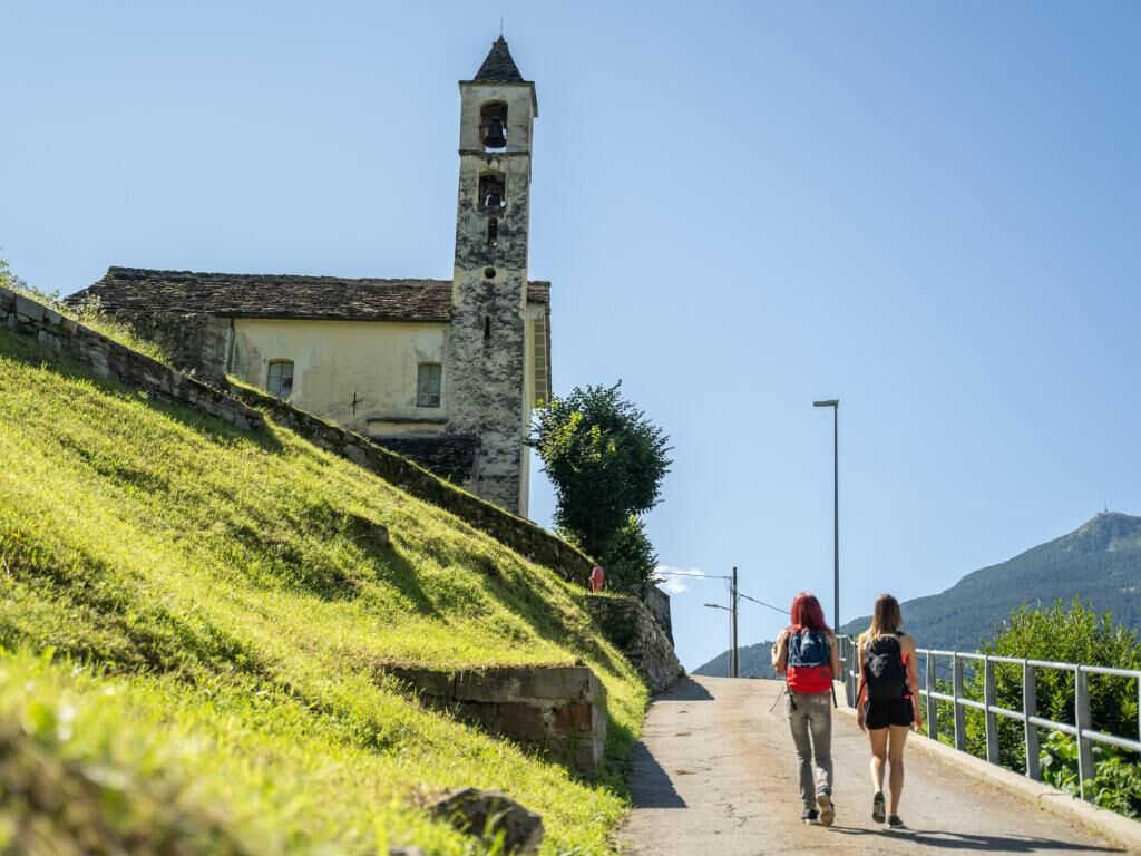
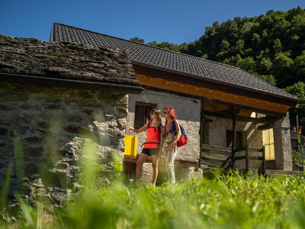
Acquarossa: Historical Path number 4
Stopnja težavnosti: T2
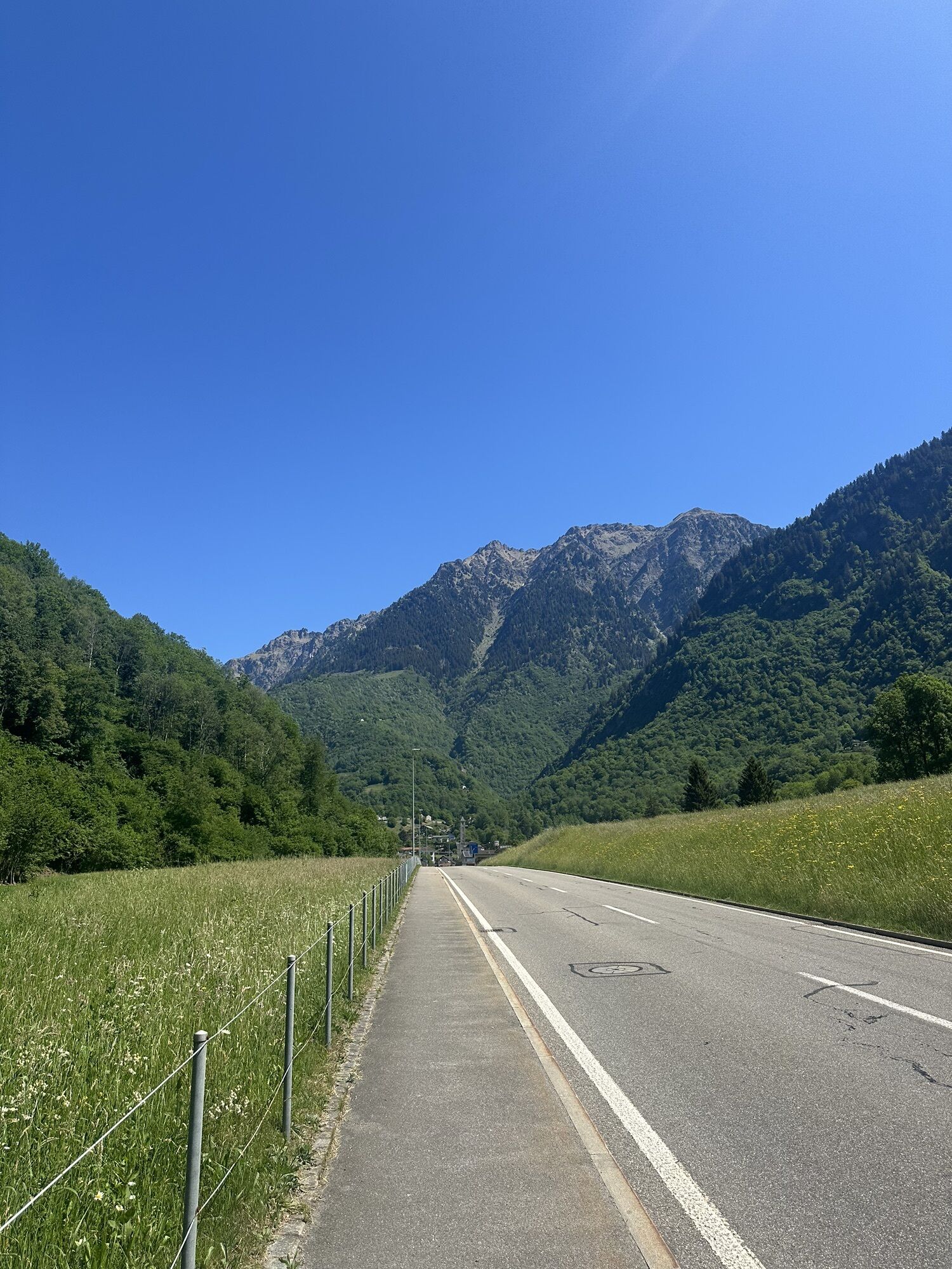
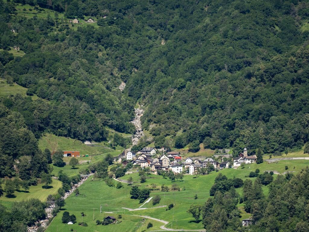
The Historical Path number 4 (Historical Path of the middle and upper Blenio Valley) starts in Acquarossa and arrives in Olivone, mainly following the lower trail, which runs along the left bank of the...
The Historical Path number 4 (Historical Path of the middle and upper Blenio Valley) starts in Acquarossa and arrives in Olivone, mainly following the lower trail, which runs along the left bank of the Brenno river.
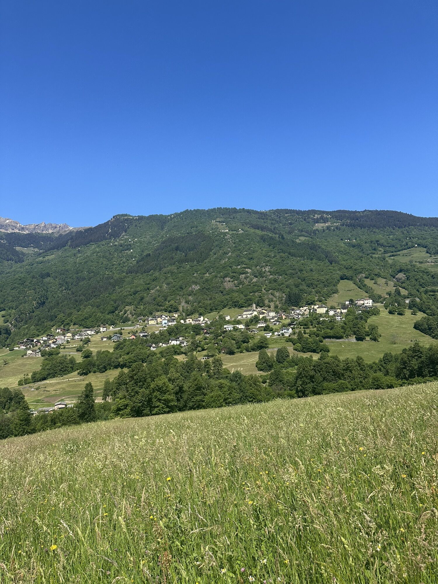
It is 11 km long, mainly on forest trails, but it also allows you to discover the small villages and hamlets of the region, also revealing the most important historical features and structures present there.
The route touches the following points of interest:
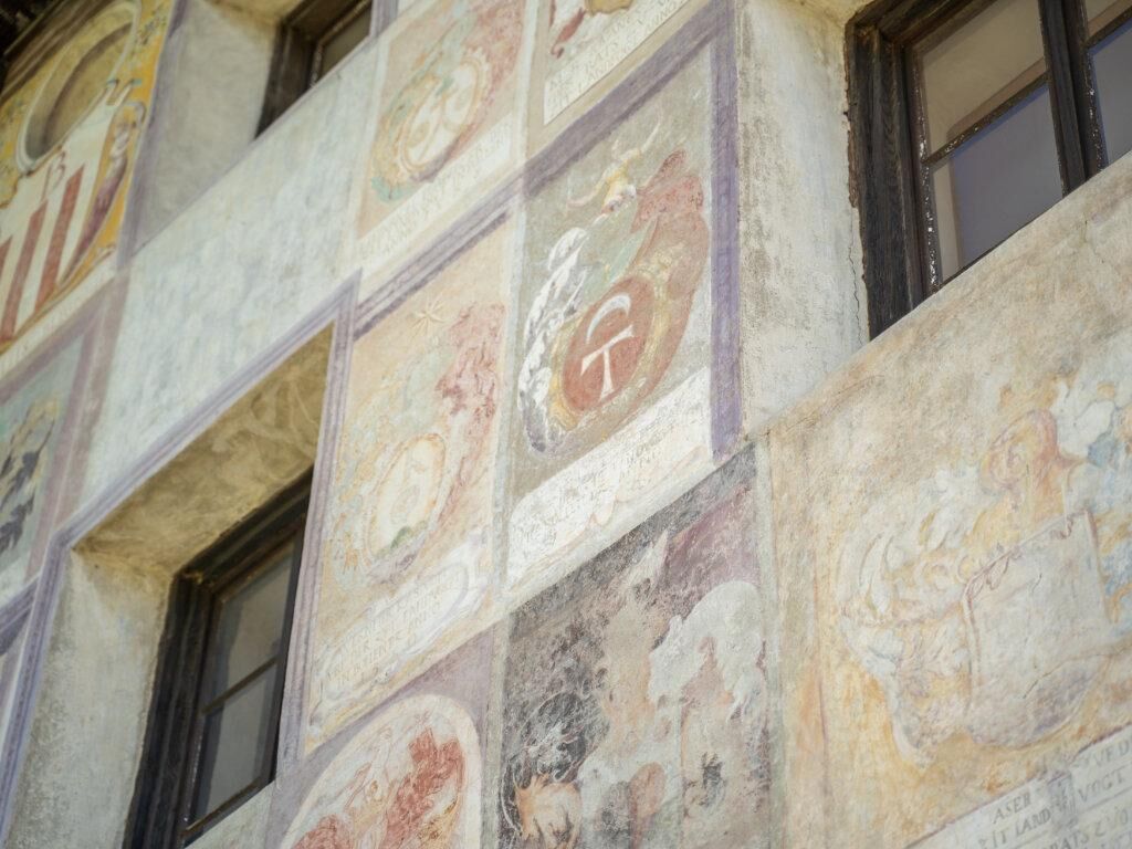
Start: Old Station, Acquarossa Old baths, Acquarossa House of the Landfogti - Blenio Valley Museum, Lottigna Maestro Martino de' Rossi, Grumo Parish church of St. Stephen - Villa Pagani, Torre Oratory of San Salvatore - Ruins of Castel Curtero - Patto di Torre Former Cima Norma chocolate factory, Torre Oratory of St. Ambrose, Votive frescoes, Dangio Parish church of St. Victor, Aquila Historical militia of Acquila, Aquila Parish church of St. Martin, Olivone San Martino Museum - Cà da Rivöi, Olivone Emigration villas, Olivone Arrival: Raiffeisen Bank, Olivone
Da
T2
The signage is uniform and the color used is brown. In addition to this ground signage, there are orientation and thematic panels.
The route can also be followed in the opposite direction.
Priljubljeni izleti v okolici
Giro della Greina
Pohodništvo 50,6 kmPiz Terri, 3.149 m
srednjaVisokogorska tura 6,92 kmFurggelti 2712m
težkoPohodništvo 18,7 km- 5,0
Passo delle Colombe - Passo del Sole
Pohodništvo 12,4 km - 4,7
Tibet Suspension Bridge Route Riasc
svetlobaPohodništvo 6,12 km 3-day route Greina-Lucomagno (entire route / 3 stages)
srednjaPohodništvo 39,2 km- 4,7
Source of the Brenno
svetlobaPohodništvo 6 km Zerfreila - Lampertschalp - Läntahütte SAC - Zerfreila
srednjaPohodništvo 20,7 km- 4,3
Carassino Valley Via Alta
Pohodništvo 14,0 km Arco della Greina (Greina Naturbogen)
Pohodništvo 7,09 km
Pohodništvo in sledenje


Ne zamudite ponudb in navdiha za naslednje počitnice
Vaš e-poštni naslov je bil dodan na poštni seznam.