






Via Alta della Verzasca - 2nd stage: Borgna hut-Cornavosa hut
Stopnja težavnosti: T6
Fotografije naših uporabnikov
-
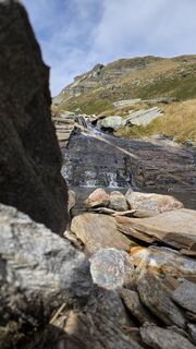
 © Philipp ReißUstvarjeno na 16.09.2025
 -
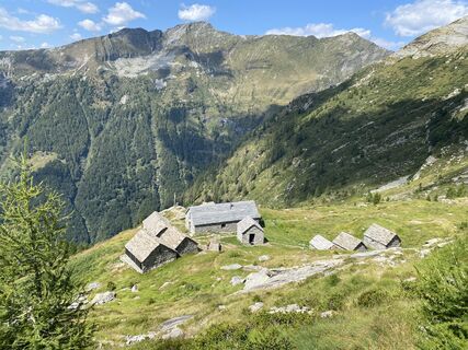
 © Axel ZeberleinUstvarjeno na 17.08.2025
 -
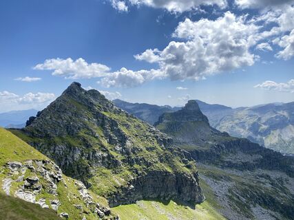 © Axel ZeberleinUstvarjeno na 17.08.2025
 -
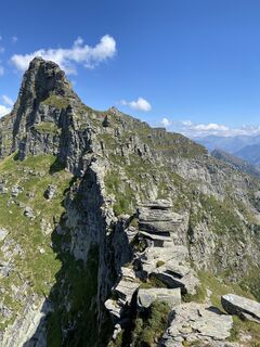 © Axel ZeberleinUstvarjeno na 17.08.2025
 -
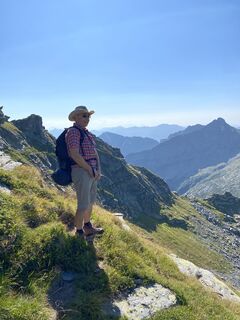 © Axel ZeberleinUstvarjeno na 17.08.2025
 -
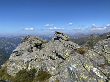 © Axel ZeberleinUstvarjeno na 17.08.2025
 -
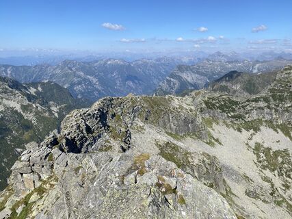 © Axel ZeberleinUstvarjeno na 17.08.2025
 -
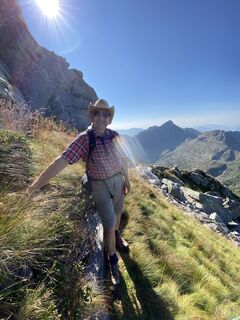 © Axel ZeberleinUstvarjeno na 17.08.2025
 -
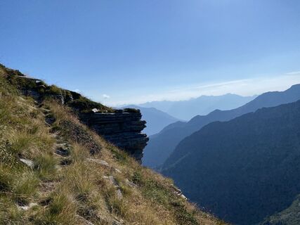 © Axel ZeberleinUstvarjeno na 17.08.2025
 -
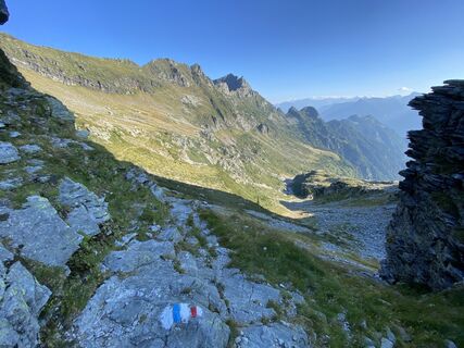 © Axel ZeberleinUstvarjeno na 17.08.2025
 -
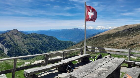
 © Sergio FontanaUstvarjeno na 29.05.2025
 -
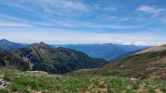 © Sergio FontanaUstvarjeno na 29.05.2025
 -
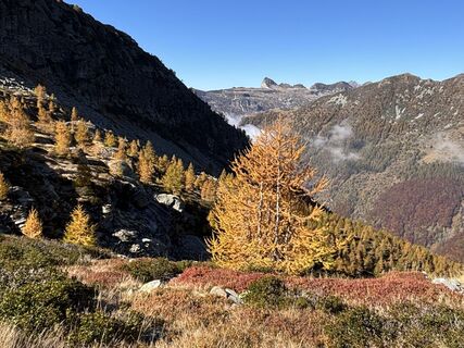
 © Susanna mastrobuoniUstvarjeno na 12.10.2025
 -
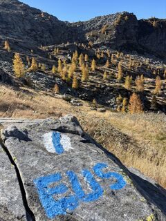 © Susanna mastrobuoniUstvarjeno na 12.10.2025
 -
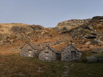 © Susanna mastrobuoniUstvarjeno na 11.10.2025
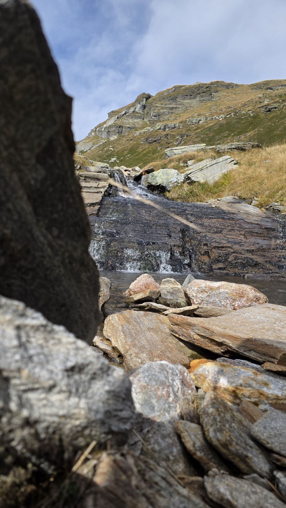
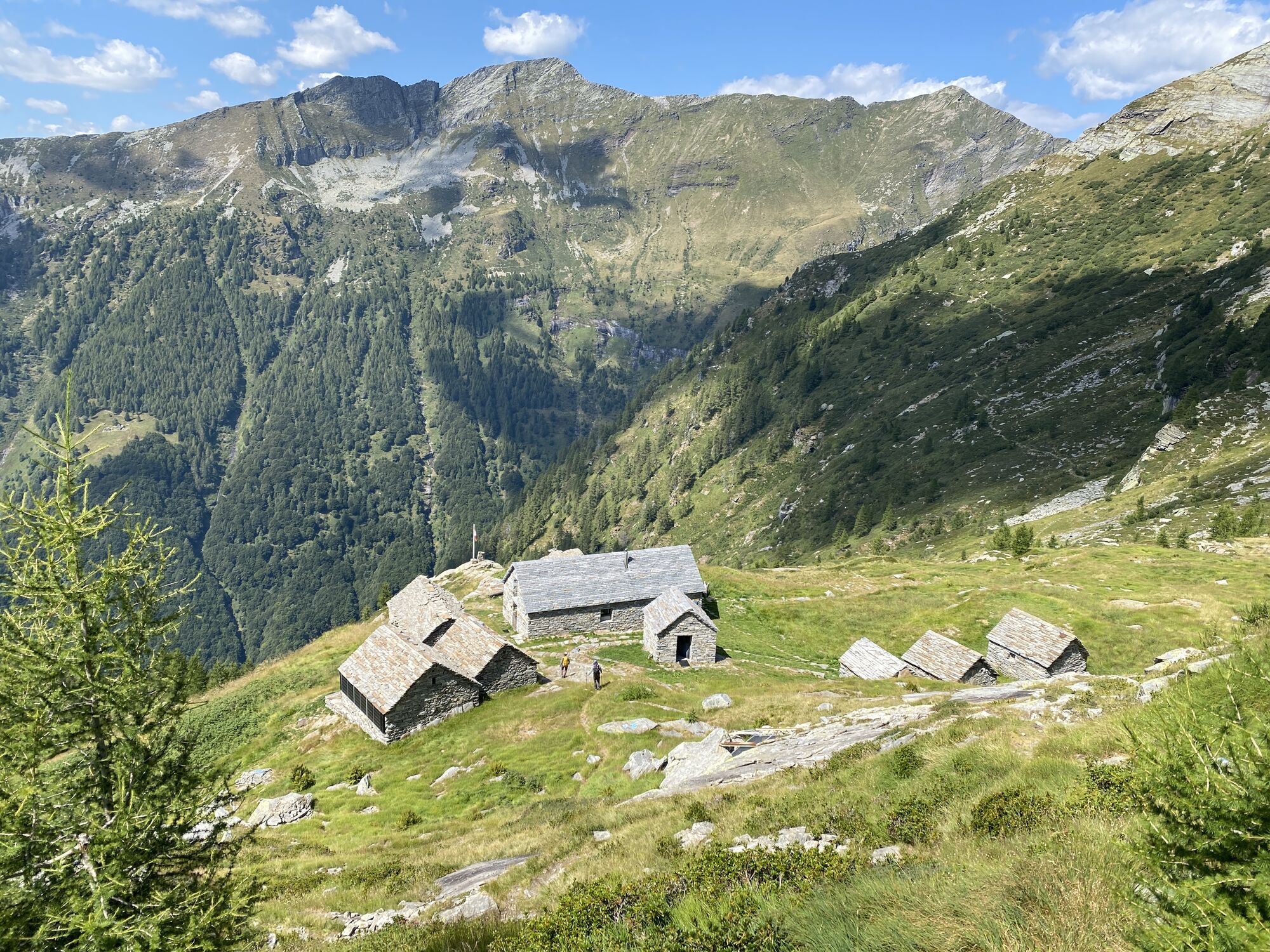
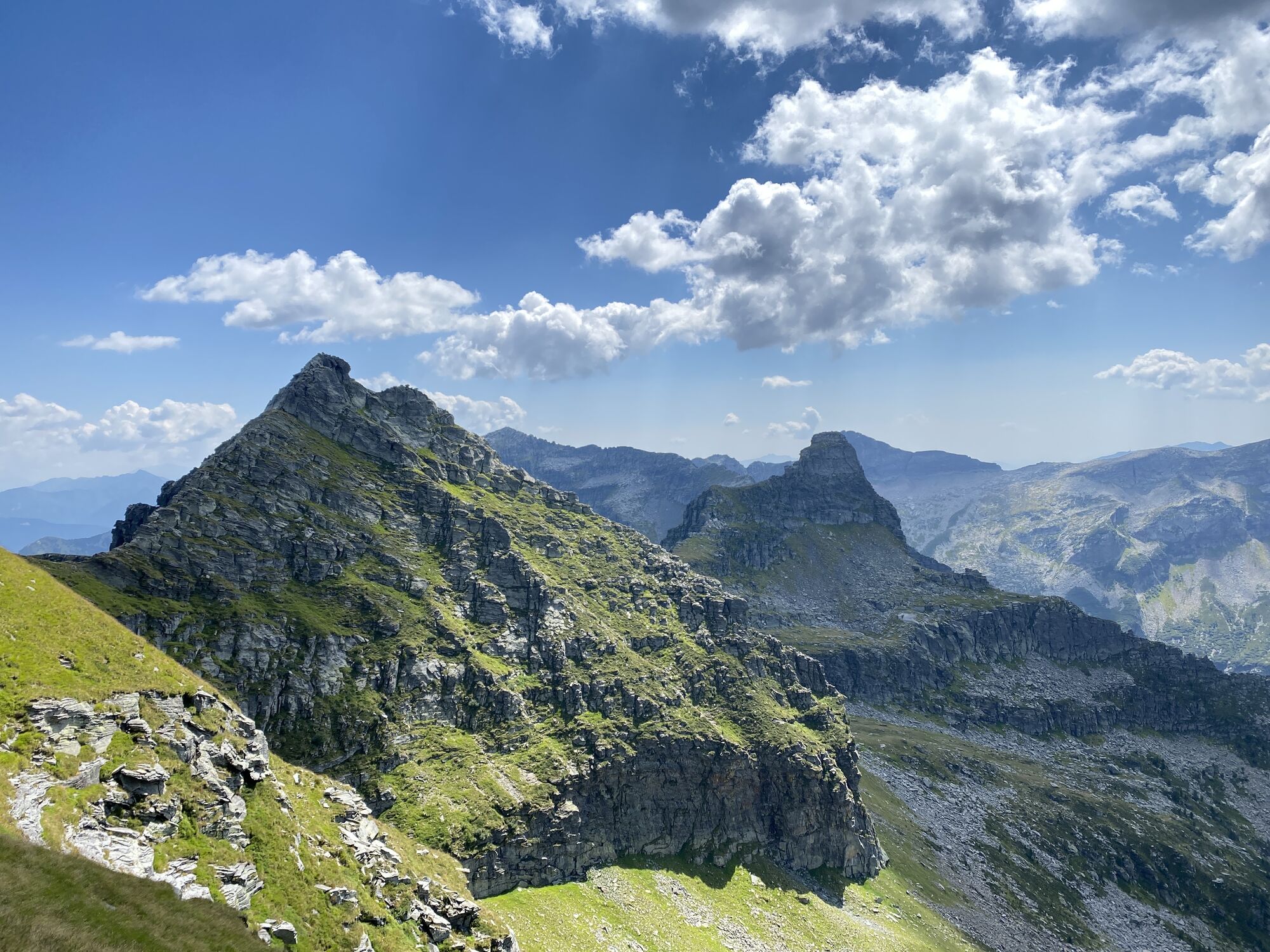
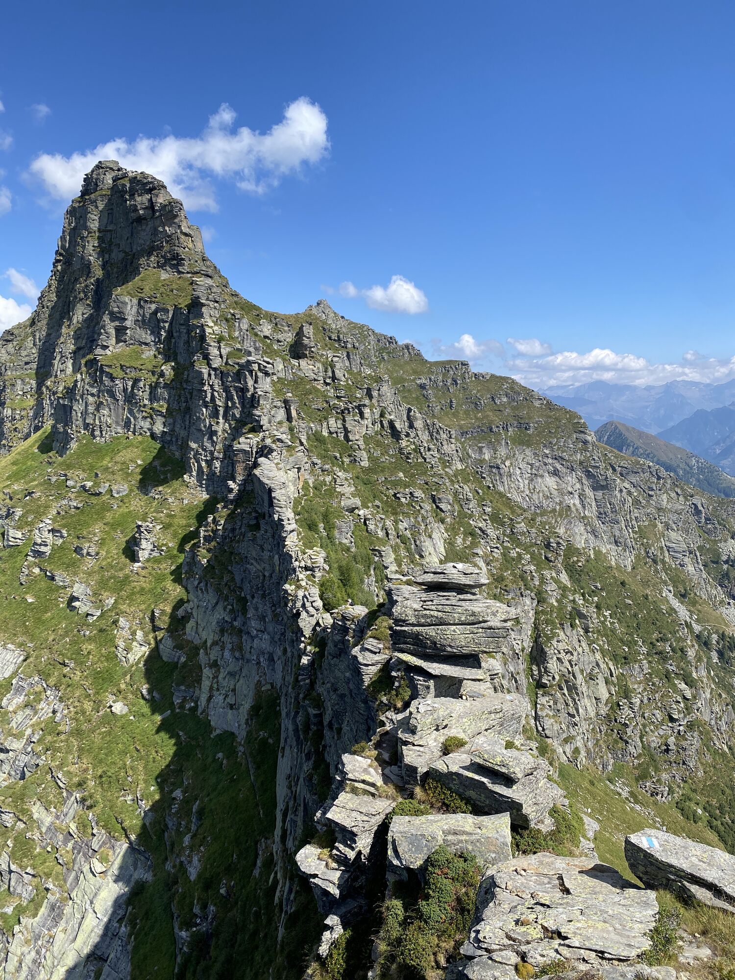
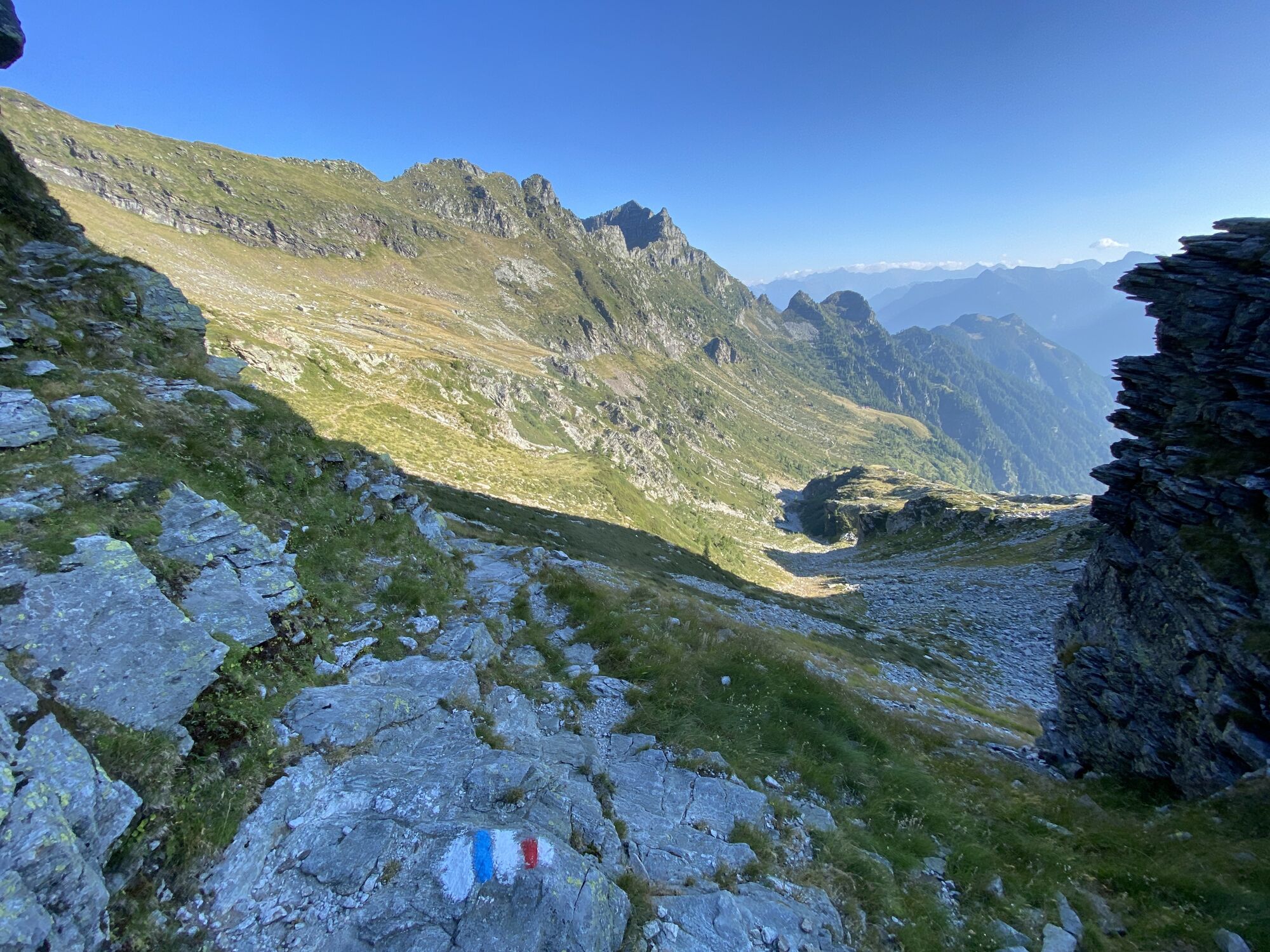

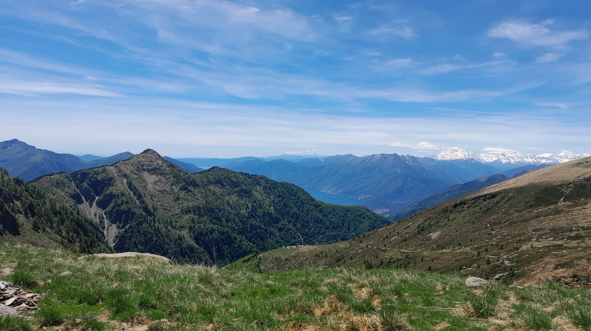
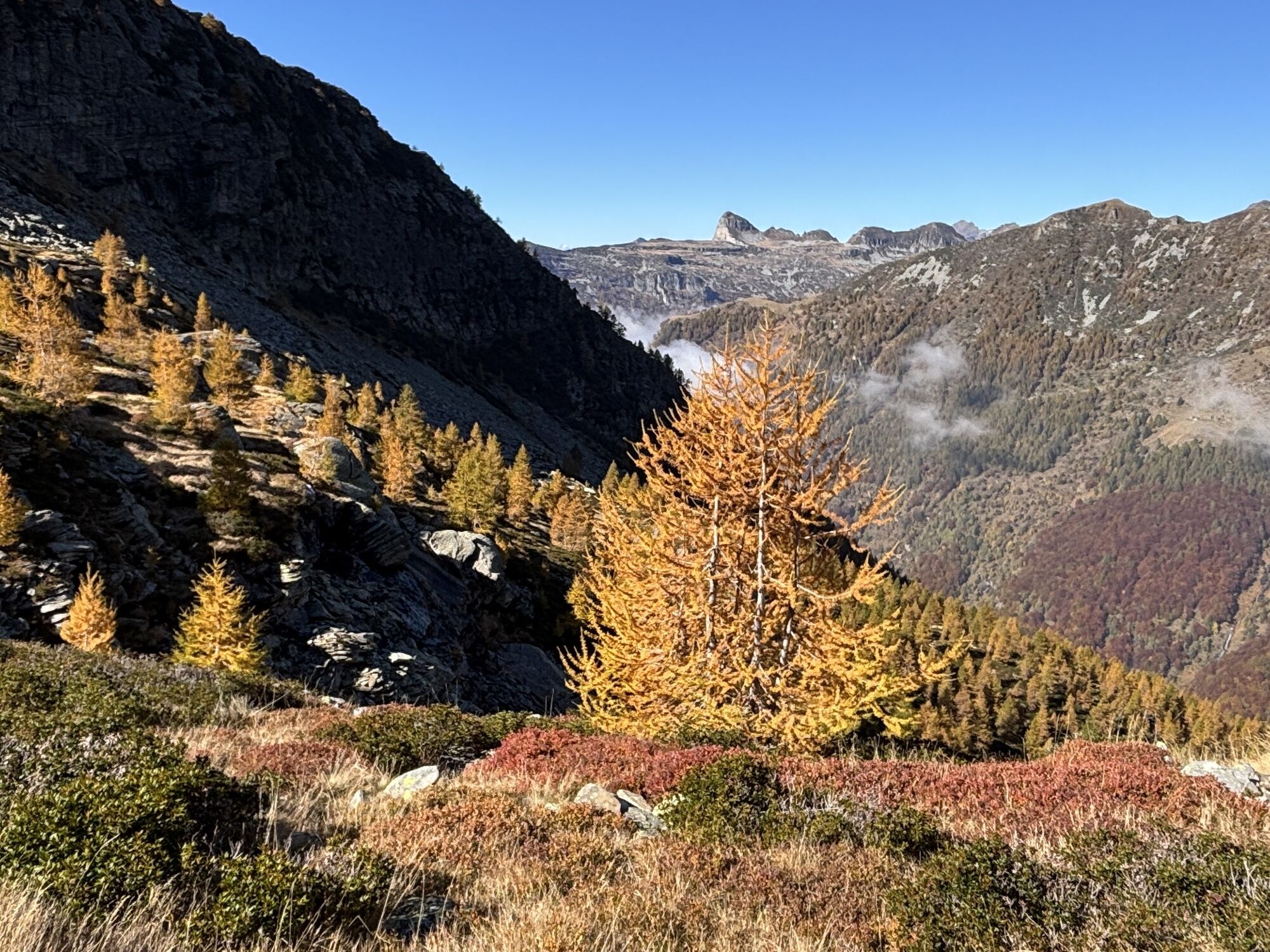
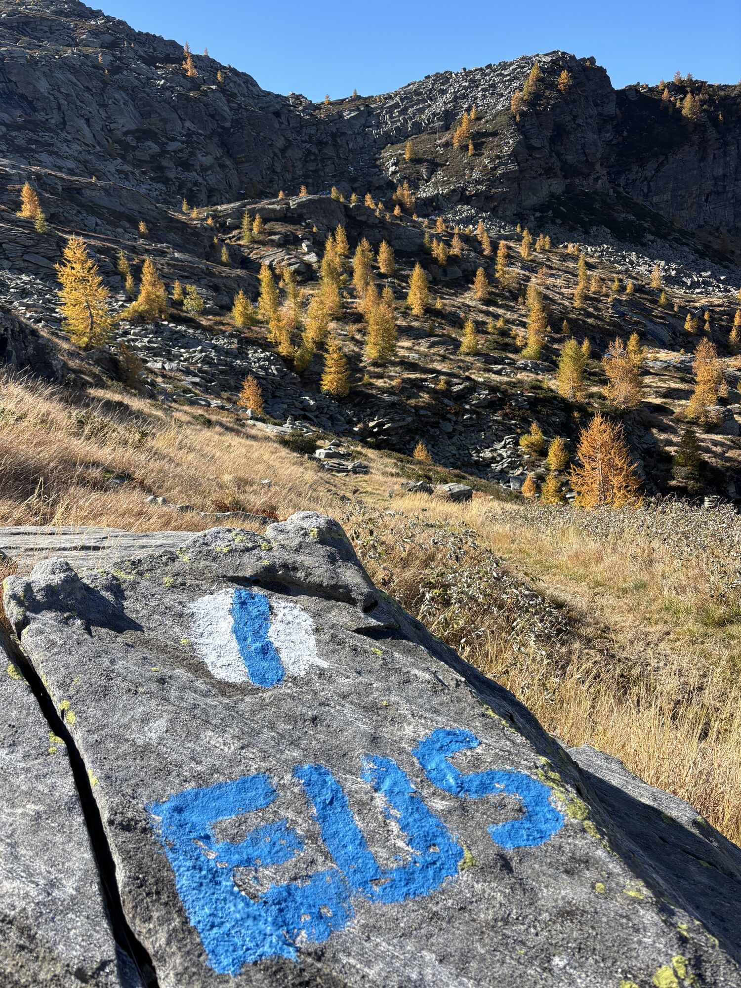
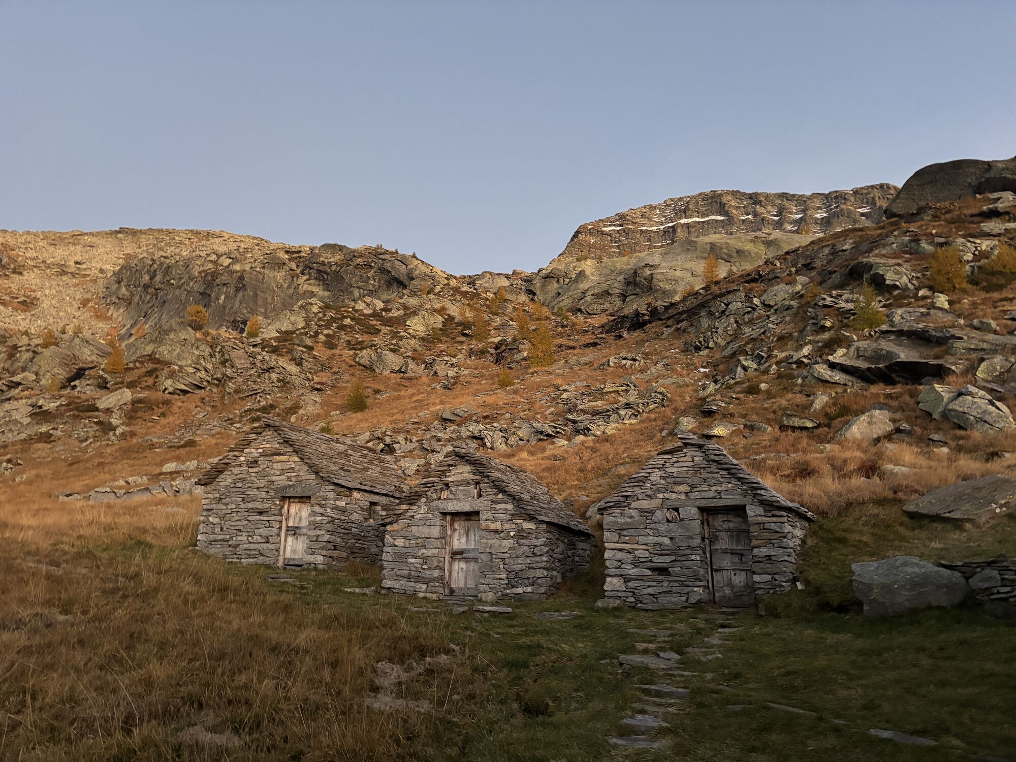
From the Borgna hut (1912 m), you ascend northward to the Bocchetta Cazzane (2104 m), then slightly descending you leave the path that leads down to the valley to Moleno, and after the following small...
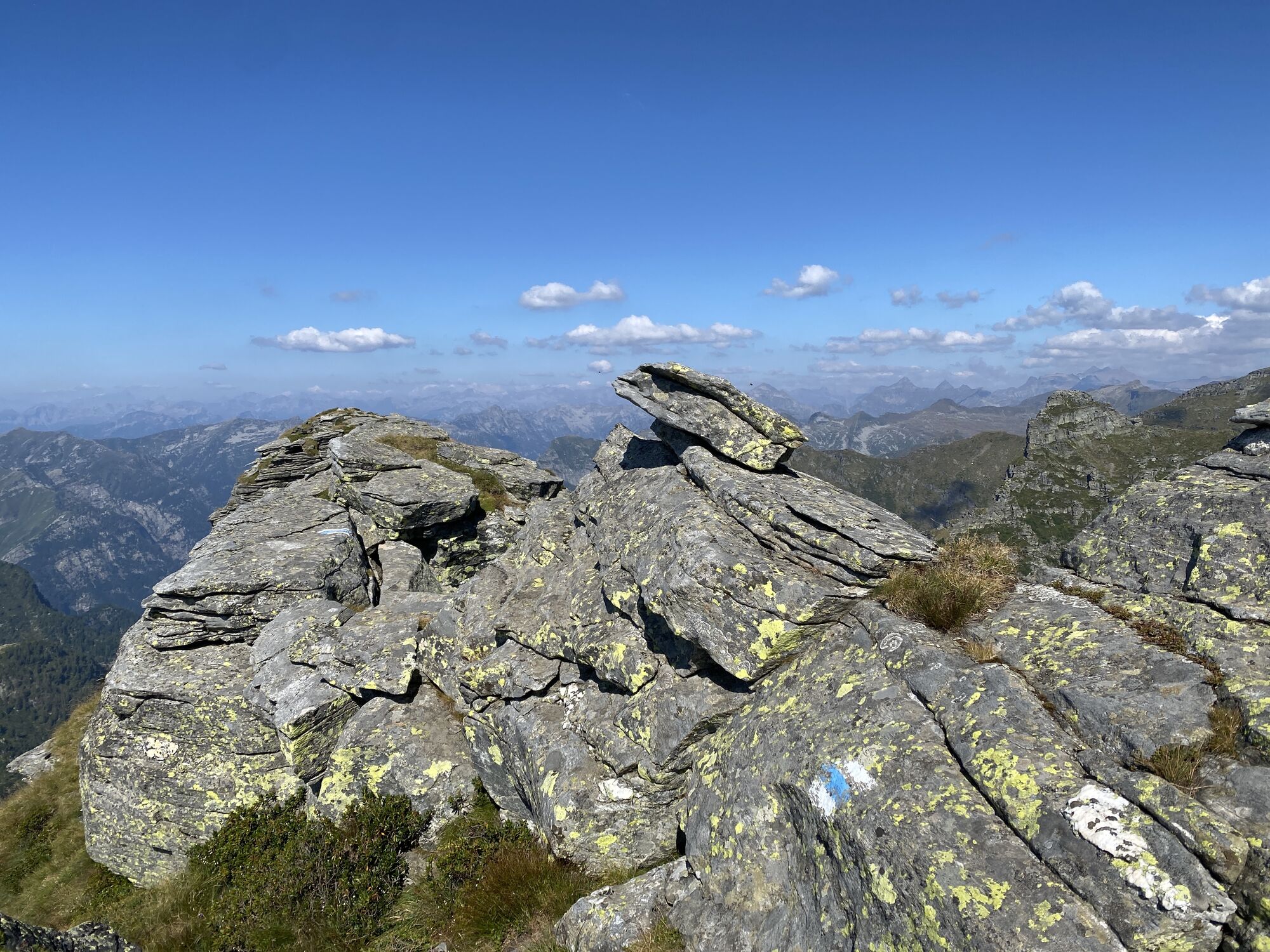
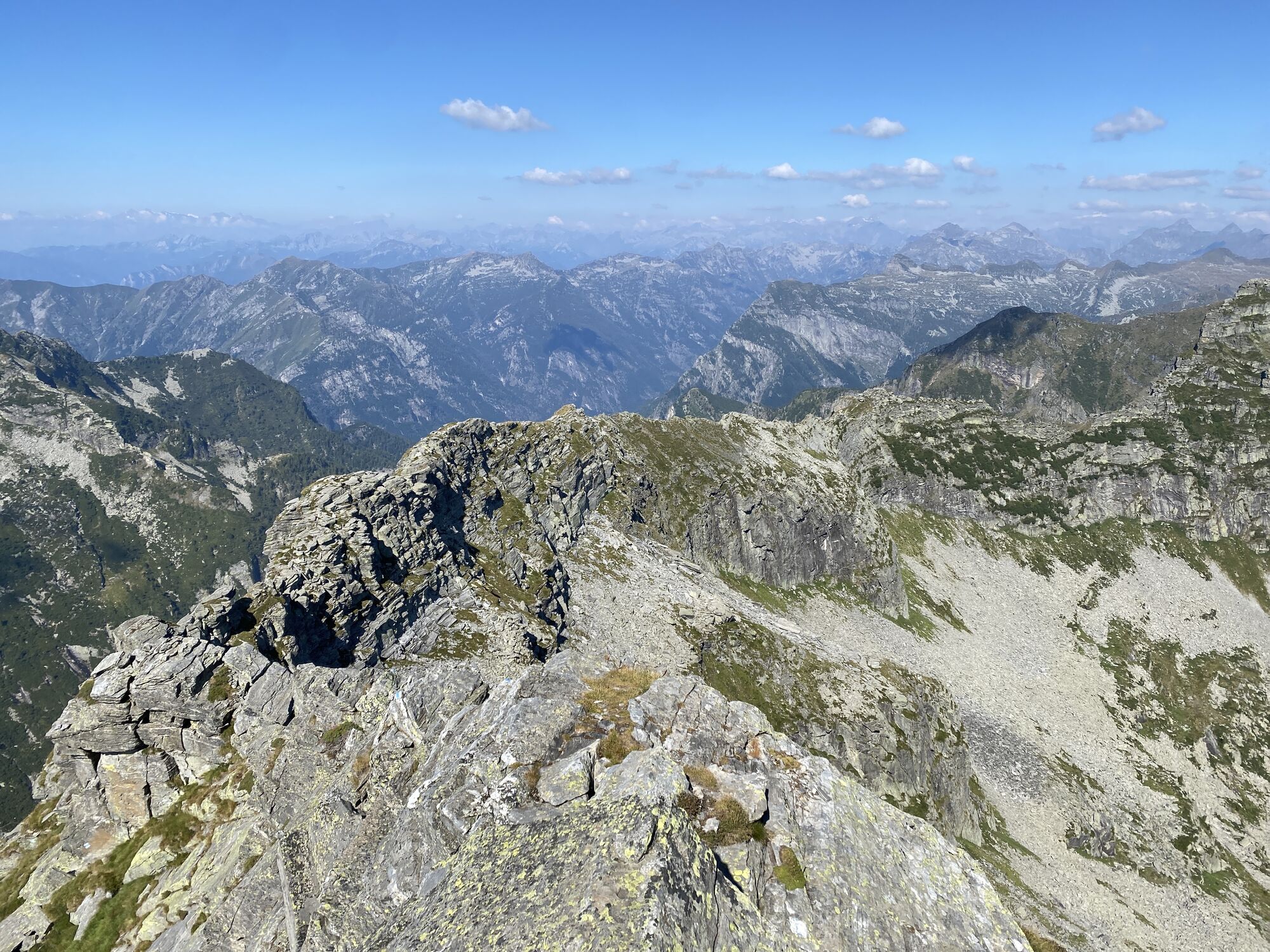
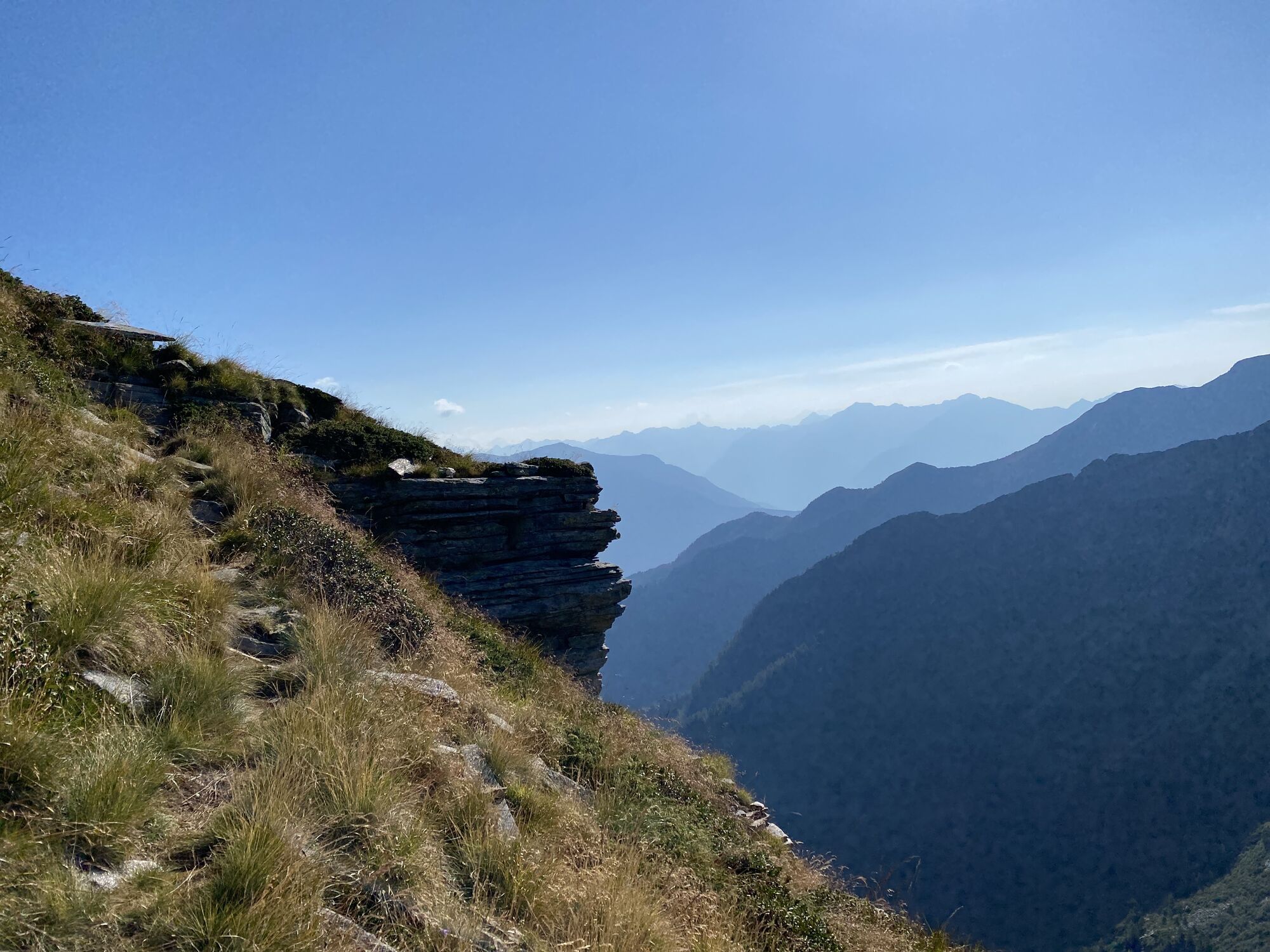
From the Borgna hut (1912 m), you ascend northward to the Bocchetta Cazzane (2104 m), then slightly descending you leave the path that leads down to the valley to Moleno, and after the following small plain, you proceed along a sheep path northeast to the Bocchetta di Leis (2225 m). Over ridges and grassy slopes you reach the Poncione di Piotta (2440 m). Then you follow the ridge of the Torno di Piotta on alternating sides, mostly on rock. The most difficult passages here are made easier with steps and grips. At the end of the Torno di Piotta, you duck under a huge mushroom-shaped rock and continue toward the Cima della Cengia delle Pecore (2394 m), which is bypassed on the east side under the peak of the Cima del Picoll.
The Cima del Picoll (2440 m) is bypassed to the west to reach first the Poncione dei Laghetti (2445 m) and then the Poncione del Venn (2477 m) over ridges, slopes, and sheep paths. On the SW ridge, you descend to point 2294 and traverse grassy and rocky slopes to the Cornavosa hut (1991 m).

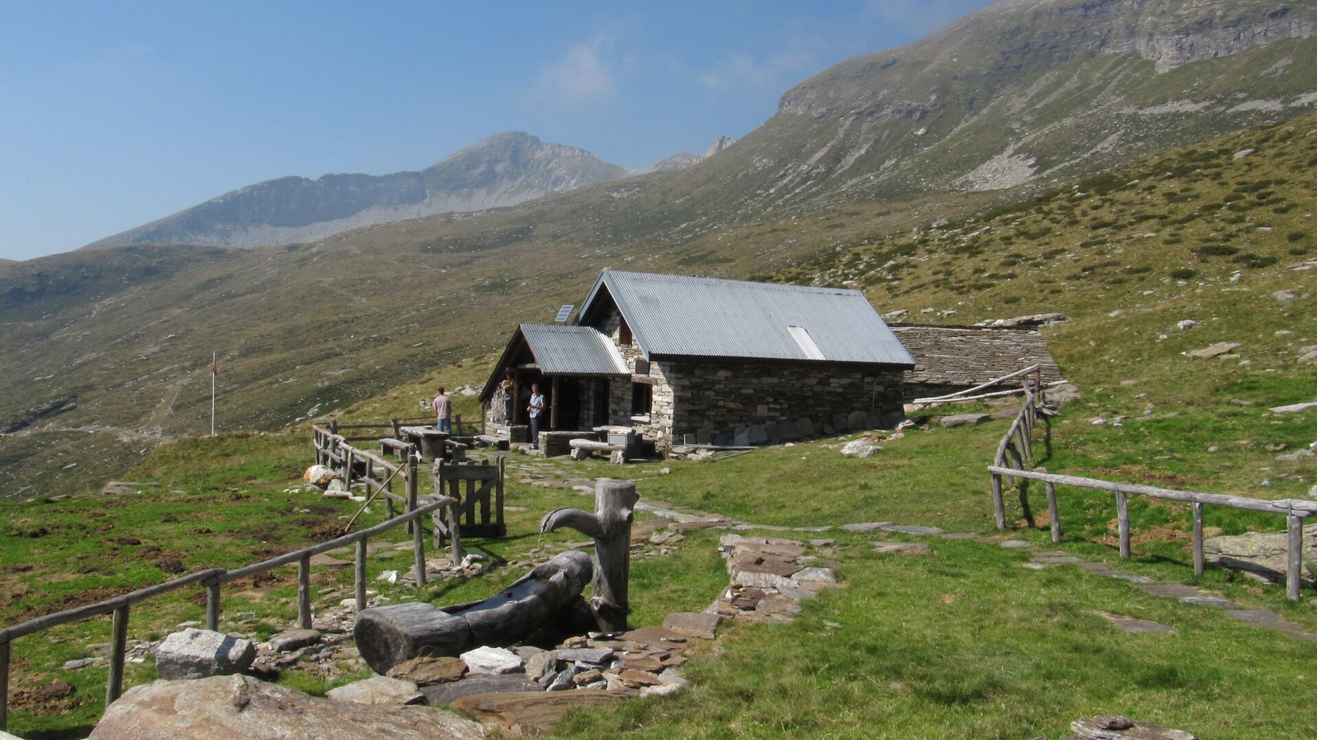
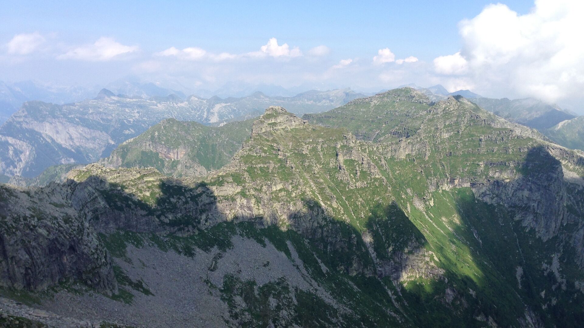
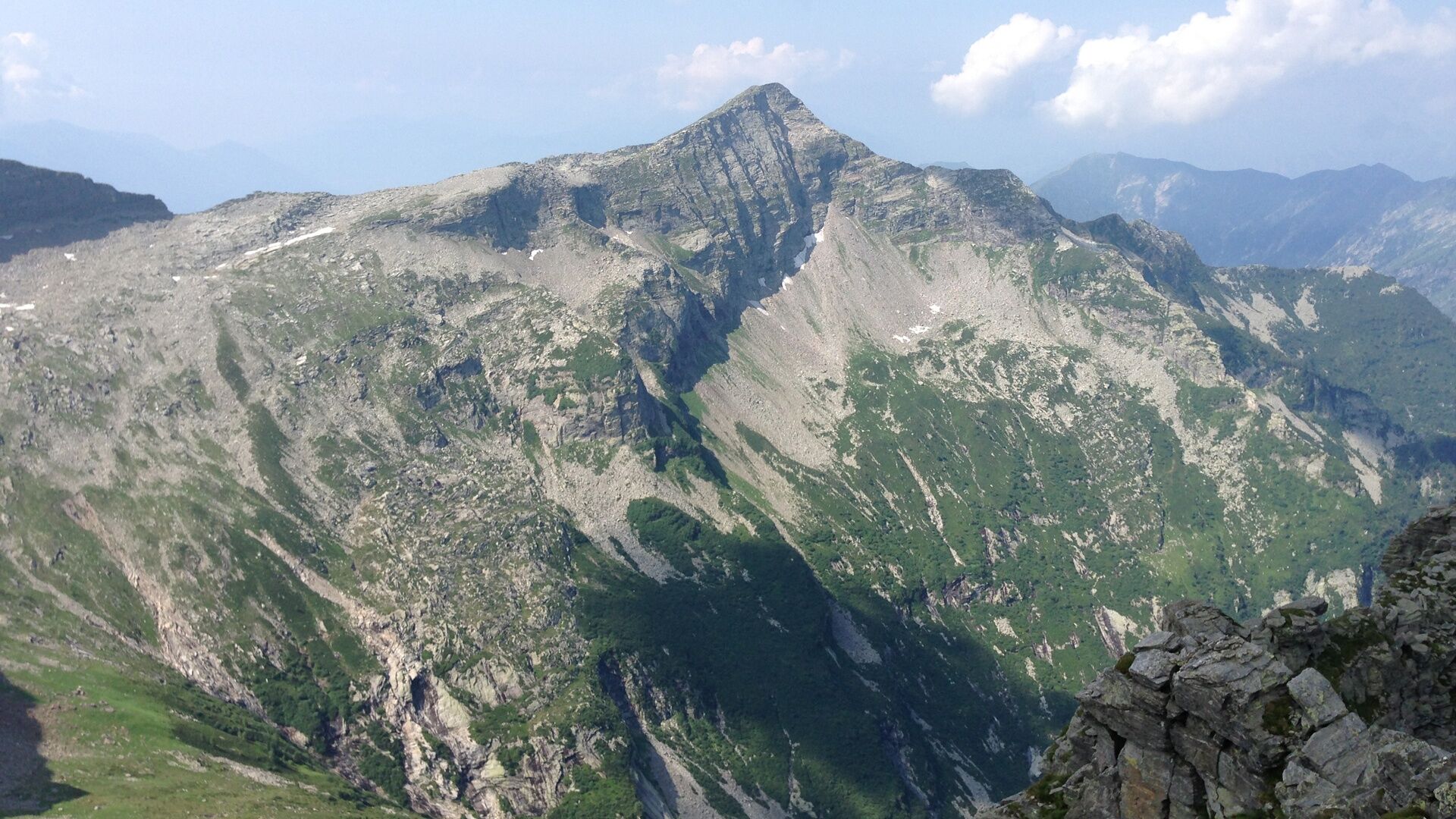
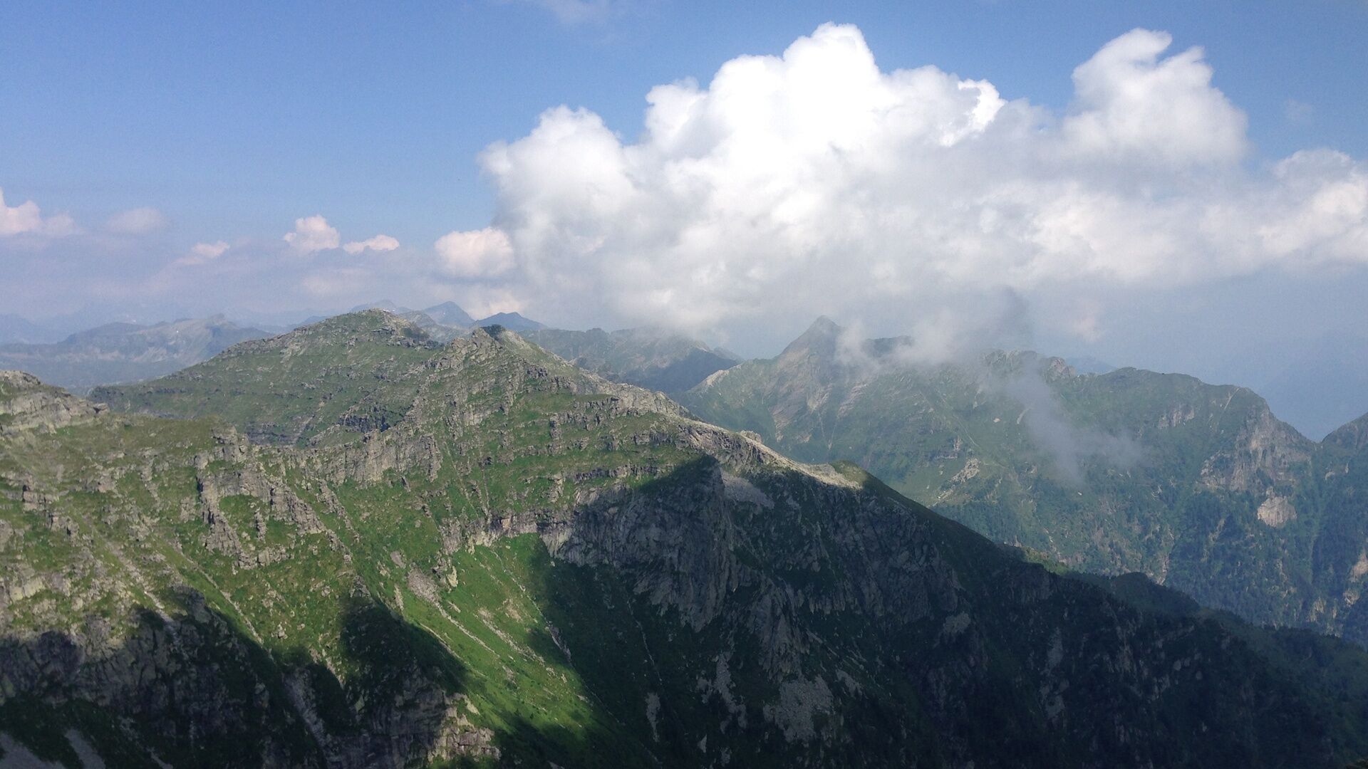
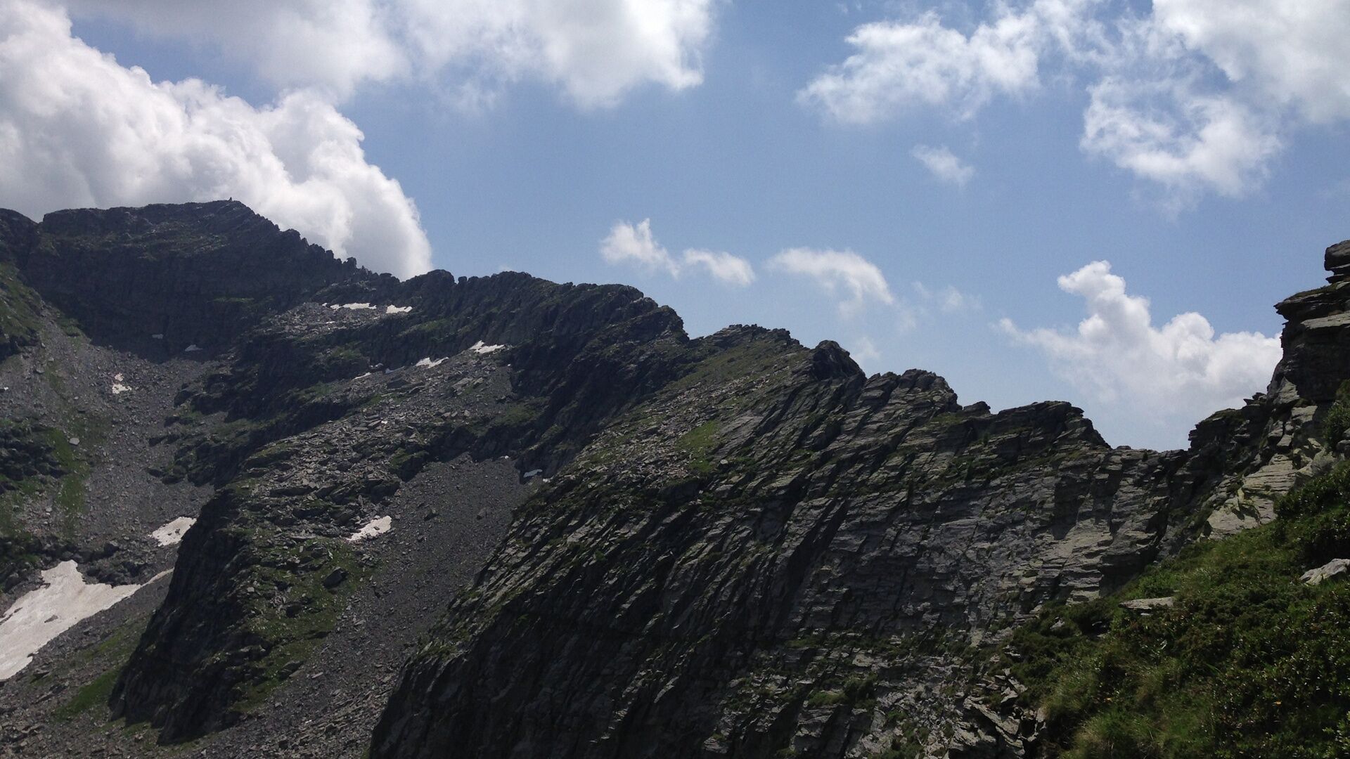
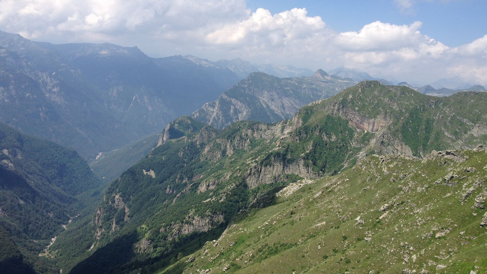
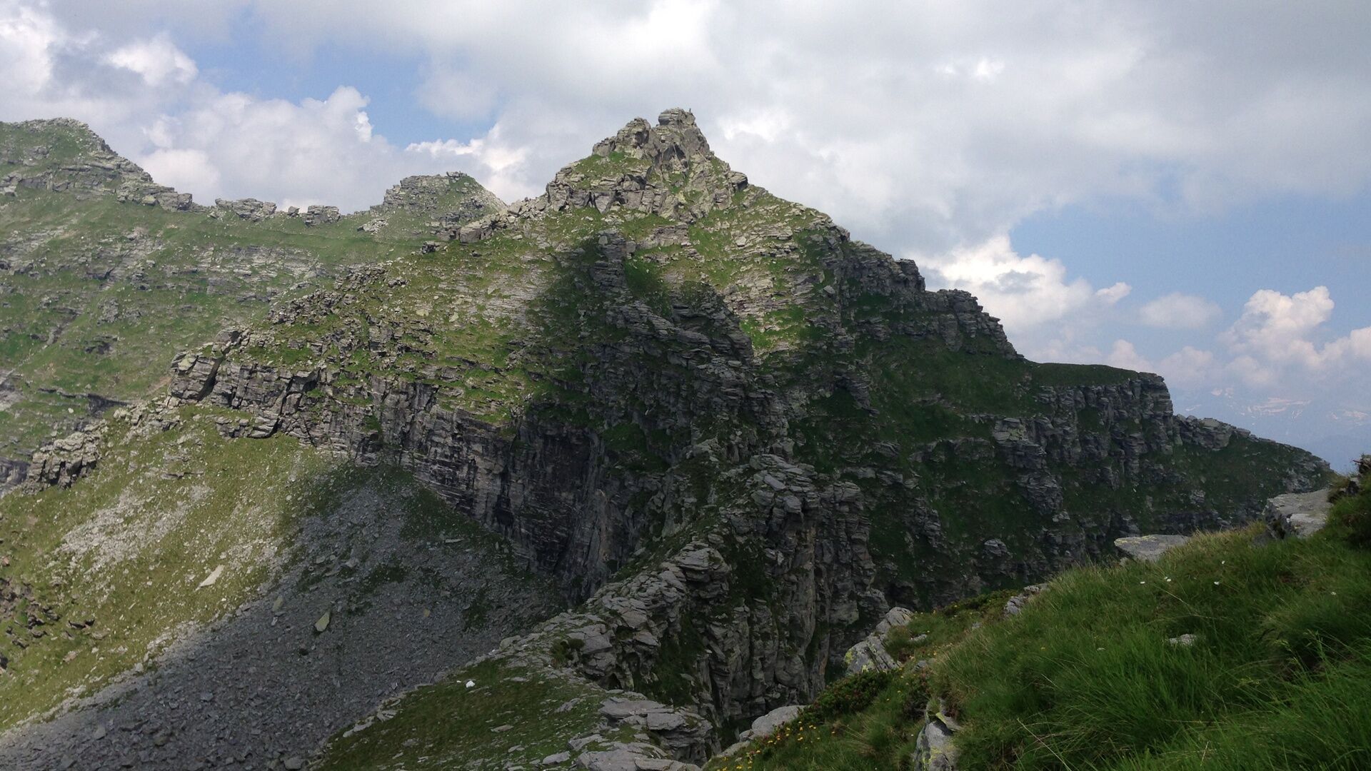
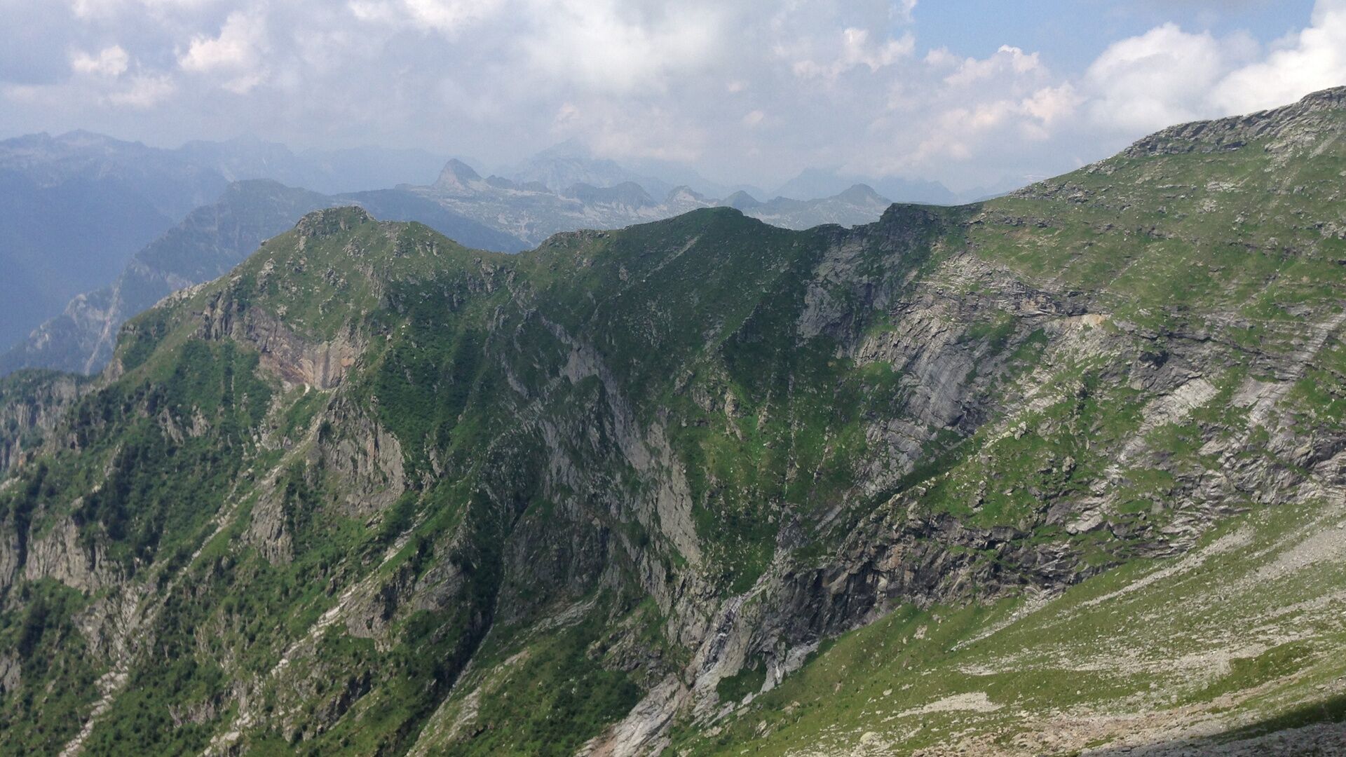
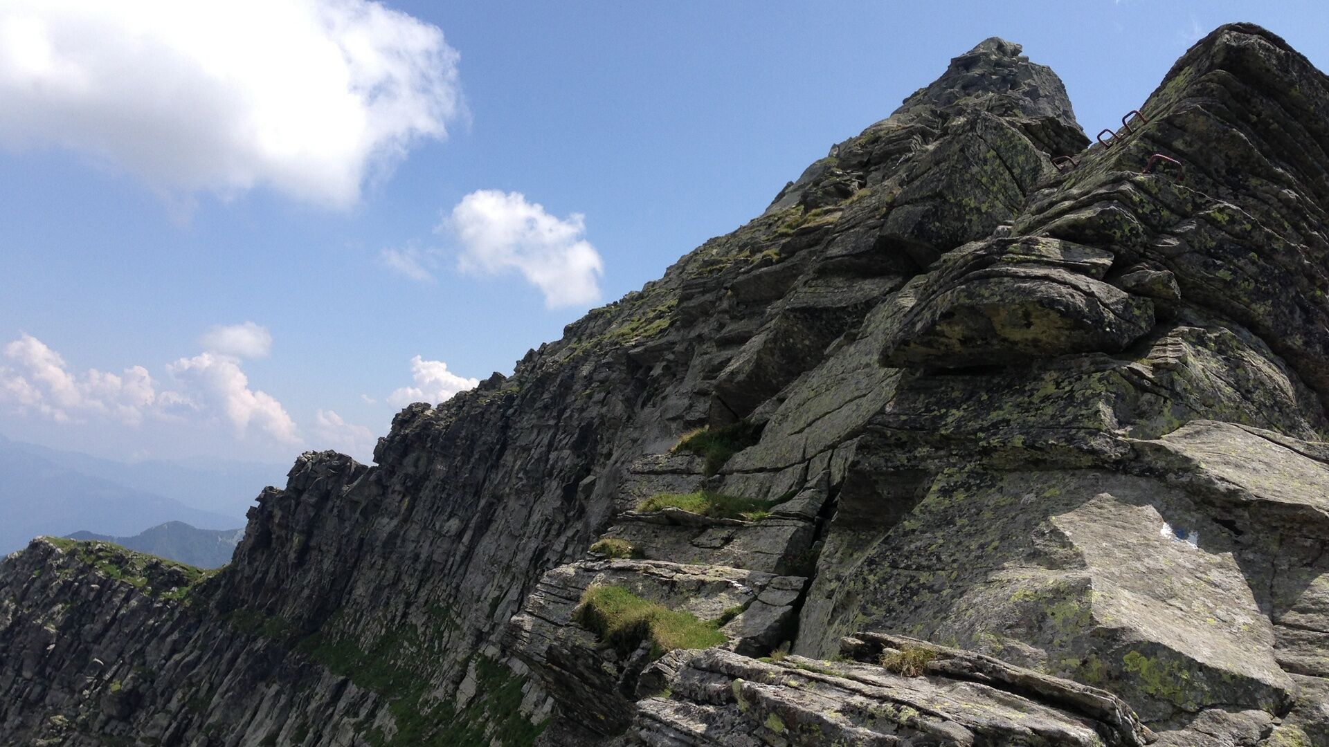
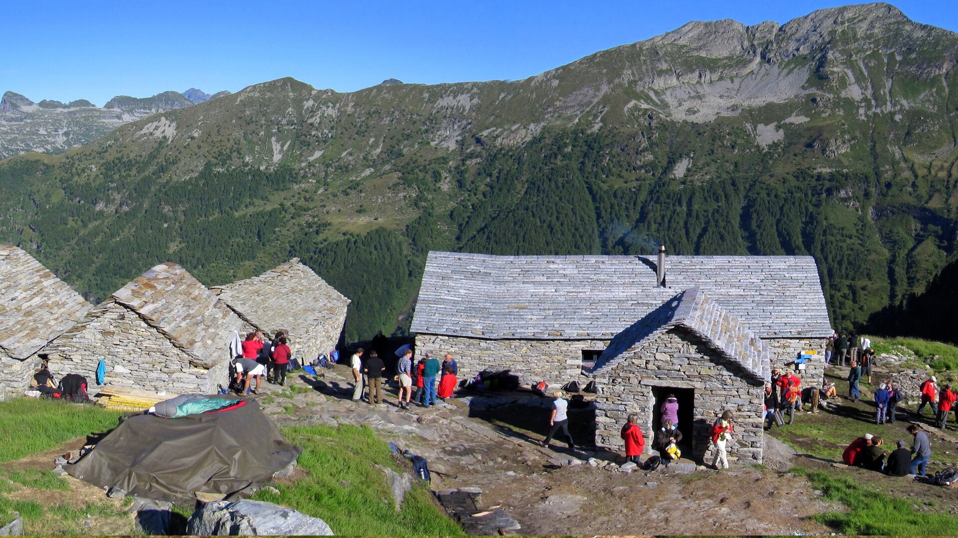

Capanna Borgna-Bocchetta di Cazzane-Bocchetta di Leis-Poncione di Piotta-Torno di Piotta-Sella-Bocchetta del Venn-Capanna Cornavosa
Da
Equipment
Good alpine equipment is necessary. Solid mountain boots and appropriate clothing. Even in summer, sudden weather changes with snowfall below 2000 m are possible. It is also advisable to take a 20 m long rope with a minimum diameter of 8 mm, two to three carabiners, a prusik cord, a sling, and the necessary provisions.
Do not underestimate
- Departure from the huts as early as possible (especially on the second and fourth stages).
- Pay special attention to the weather development to avoid being on a ridge during thunderstorms or fog.
- Do not underestimate difficulties (time loss) that arise in a large group.
- In case of doubt, it is better to refrain or turn back.
- During and after heavy thunderstorms, streams on the huts' approach paths can be impassable due to flooding (generally the situation normalizes after a few hours).
WARNING!
Difficulty level
The SEV (Società Escursionistica Verzaschese) points out that this is an alpine route, not a hiking trail. Good preparation, alpine experience, sure-footedness, and no fear of heights are necessary to safely handle the difficult passages. According to the new hiking trail classification of the SAC (Swiss Alpine Club), the Via Alta is mostly classified as T4 to T6.
T6 – Ridge passages partly very exposed, use of hands for movement (maximum grade II).
T5 – Hike for experienced people with exposed passages.
T4 – Demanding hike.
The Organizzazione Turistica Lago Maggiore e Valli declines any liability and relies on the judgment of each individual.
T6
Pridobite vpogled
Vedno v živo na mestu z več kot 9.500 spletnimi kamerami. bergfex Kot uporabnik Pro si lahko zdaj ogledate ustrezne spletne kamere za številne izlete v aplikaciji izleti iz. Tako si lahko neposredno ogledate trenutne razmere.
Priljubljeni izleti v okolici
-
4.9
Verzasca Dam-Mergoscia-Corippo-Lavertezzo
srednjaPohodništvo 13.0 km -
4.6
Tibetan Bridge route (SwitzerlandMobile 628)
srednjaPohodništvo 9.02 km -
3.3
Entlang der Verzasca von Sonogno via Brione nach Lavertezzo
svetlobaPohodništvo 14.5 km -
4.8
Avegno-Ponte Brolla-Avegno
srednjaPohodništvo 8.56 km -
5.0
Lavertezzo-Brione Verzasca
svetlobaPohodništvo 6.50 km -
4.3
Revöira Ethnographic Trail (SwitzerlandMobile 629)
srednjaPohodništvo 7.97 km -
4.0
Cardada Bike (SwitzerlandMobility 397)
težkoMountainbike 30.6 km -
5.0
Verzasca Dam-Monti di Motti-Verzasca Dam
srednjaPohodništvo 9.31 km -
Cardada-Cimetta-Alpe Vegnasca-Cardada
srednjaPohodništvo 6.86 km -
4.0
Vogorno-Alpe Bardughè-Vogorno
srednjaPohodništvo 12.2 km

Pohodništvo in sledenje


Ne zamudite ponudb in navdiha za naslednje počitnice
Vaš e-poštni naslov je bil dodan na poštni seznam.





