







Via Alta della Verzasca - 1st stage: Gordola-Borgna Hut
Stopnja težavnosti: T3

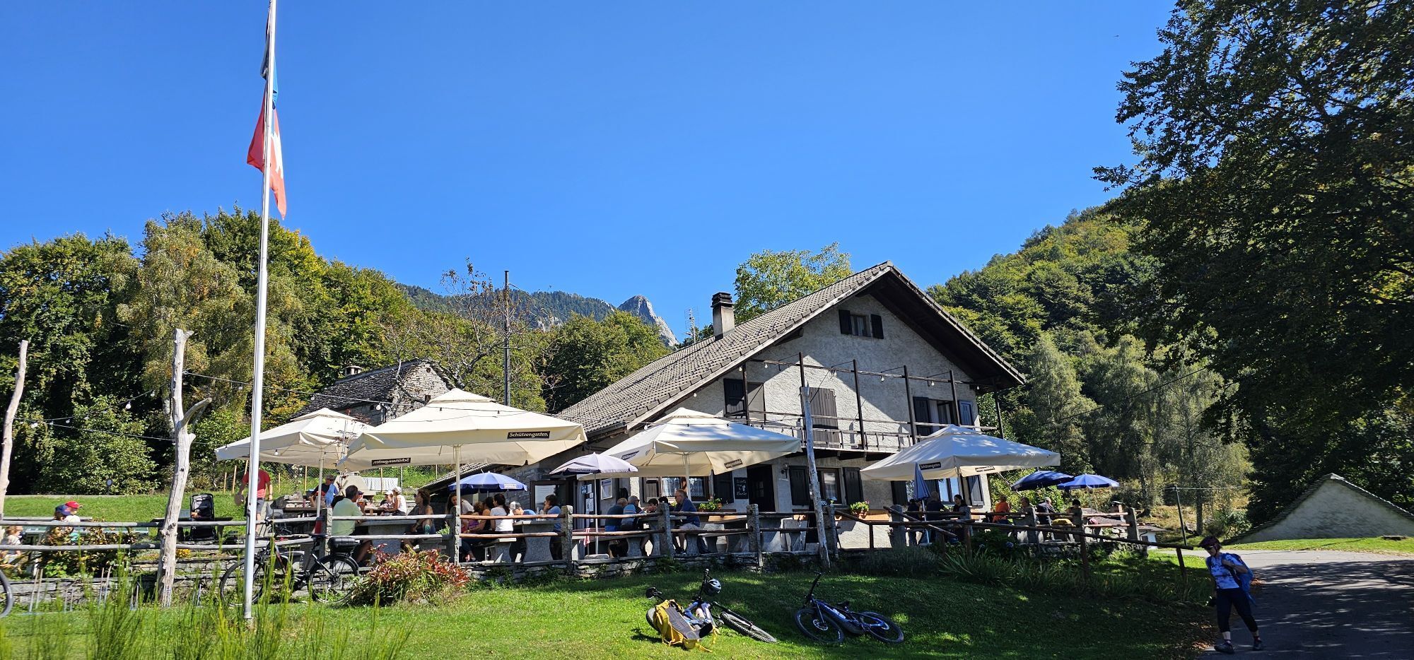
Variant A: Gordola – Monti di Motti – Capanna Borgna
Difficulty T2 / T3 – Time 5 to 6 hours
Red-white marked trails lead from the church in Gordola (A1, 2 hrs 30 min) and from the dam near Selvatica (A2,...
Variant A: Gordola – Monti di Motti – Capanna Borgna
Difficulty T2 / T3 – Time 5 to 6 hours
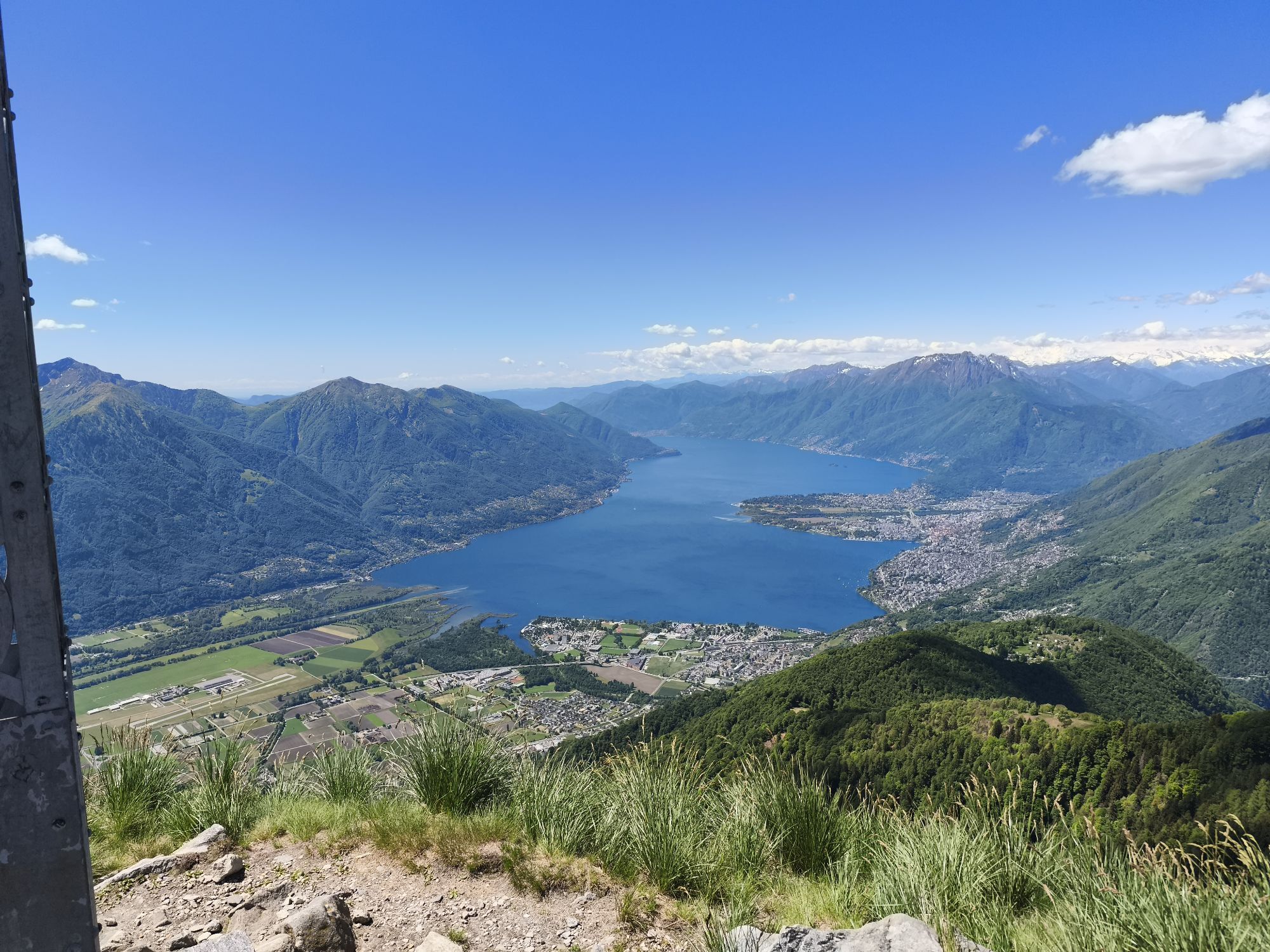
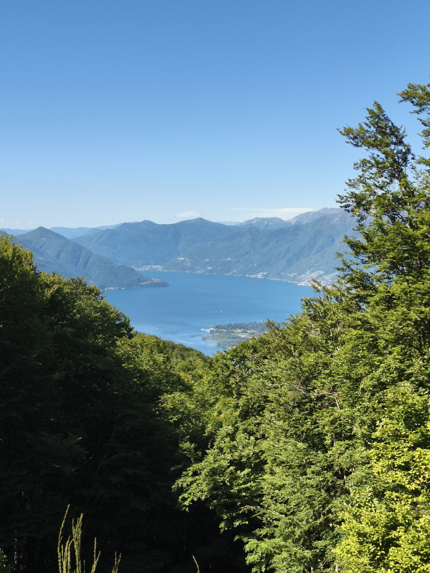
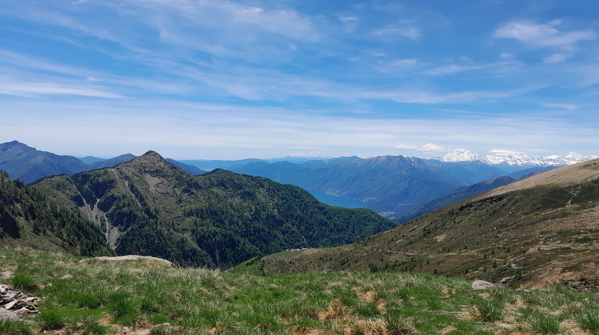
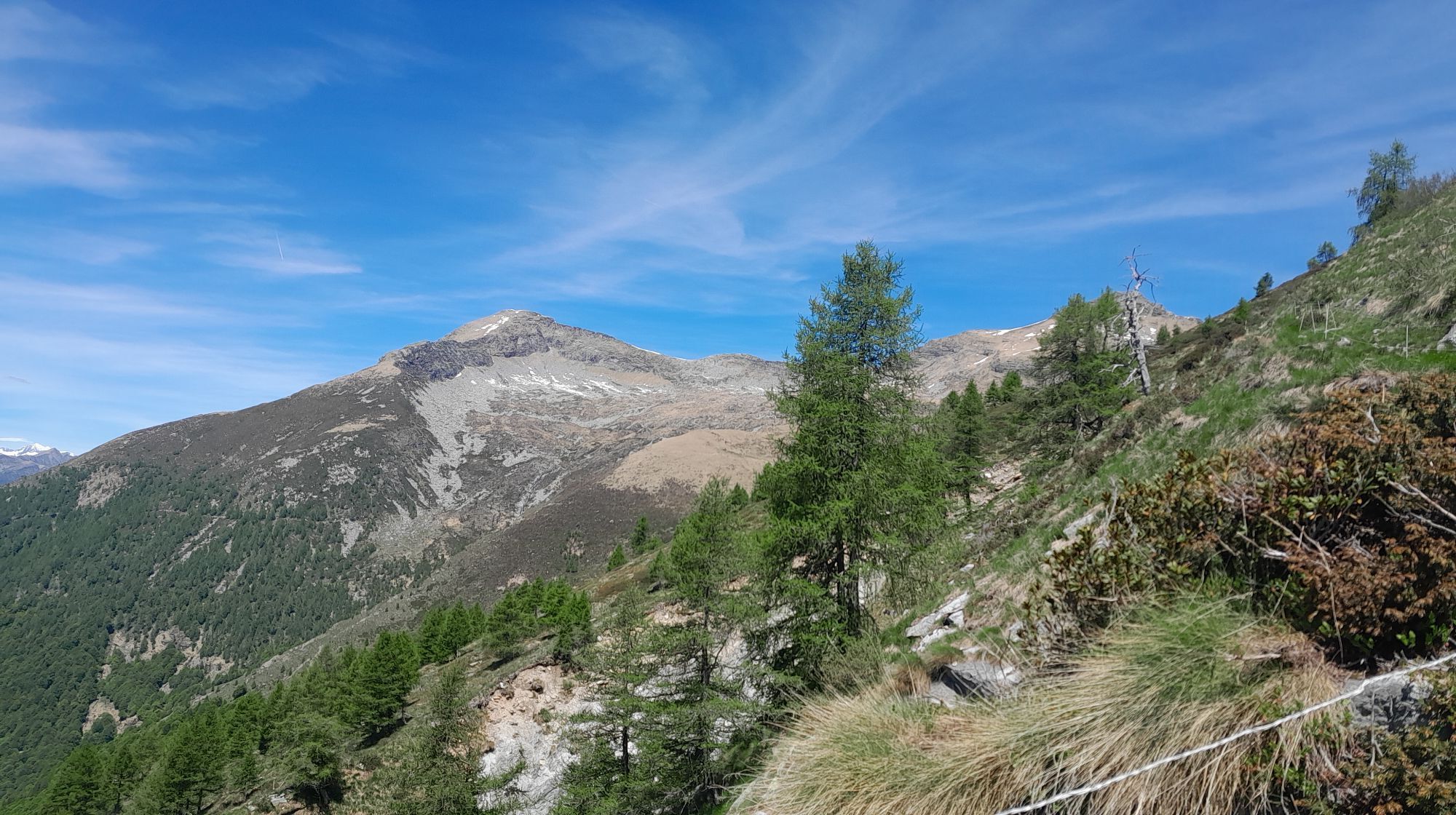
Red-white marked trails lead from the church in Gordola (A1, 2 hrs 30 min) and from the dam near Selvatica (A2, 1 hr 45 min) to the Monti di Motti (1062 m). From Monti, the route continues initially on a paved road towards Alpe di Foppiana. From the foot of the Sassariente, a detour to the summit (1768 m) is possible, then follow the impressive wall on the ridge (T3-T4) or the parallel trail on the southern flank to the Cima di Sassello (1899 m). A short descent leads to the Forcola (1710 m), where you join the red-white trail and reach the Borgna Hut in 1 hr 30 min. Alternatively, starting from the Monti della Gana parking area (1286 m), follow the signpost to the Alpe di Sassello (1673 m) and reach the hut in 2 hrs 40 min.
Variant B: Vogorno - Rienza - Capanna Borgna
Difficulty T2 - Time 5 hrs
From Vogorno (492 m), follow firstly the paved road and then the signpost "Colletta" on a red-white marked trail into the Val della Porta. Past the chapel at Colletta, after about 2 hours you reach Monte di Rienza (1391 m). Continue to Corte di Fondo of Alpe Mognora and from there on a gravel access road to the Borgna Hut.
Variant C: Vogorno - Bardughè - Capanna Borgna
Difficulty T5 - Time 7 hrs
The start is the same as for Variant B, except you head towards Costapiana. There the red-white trail begins, leading via Corte Nuovo in about 2 hrs 40 min to Bardughè (1639 m), where overnight stay is possible in the hut of the same name. Continue on a blue-white marked path for about 2 hrs to the Pizzo di Vogorno (2442 m). From the summit, a red-white trail leads in 1 hr 15 min to the Borgna Hut.

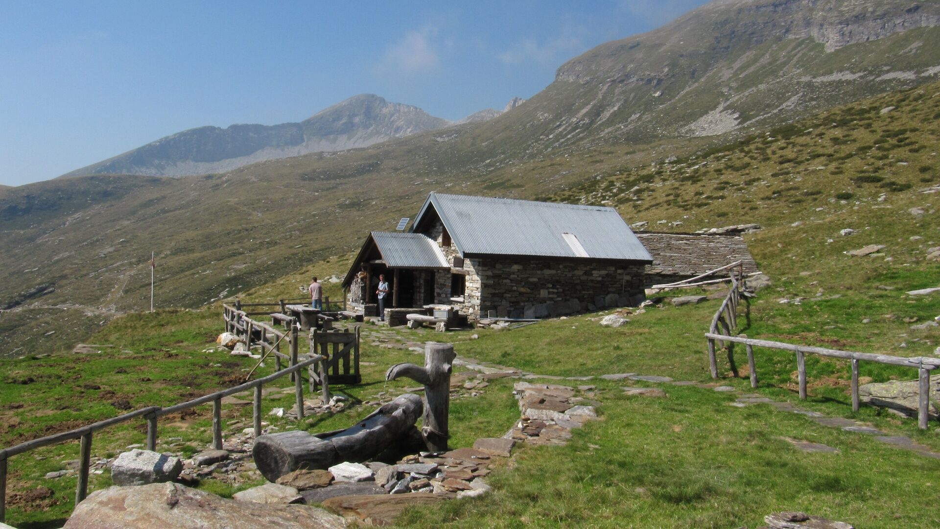

Variant A: Gordola-Bazzadee-Monti di Motti-Scesa-Fopiána-Cima di Sassello-Forcola-Capanna Borgna
Variant B: Vogorno-Colletta-Mosciöi-Rienza-Córt da Fónd-Capanna Borgna
Variant C: Vogorno-Costa Piana-Odro-Bardüghèe-Pizzo di Vogorno-Capanna Borgna
Da
Da
Equipment
Good alpine equipment is necessary. Solid mountain boots and appropriate clothing. Even in summer, rapid weather changes with snowfall below 2000 m are possible. It is also advisable to carry a rope 20 m long with at least 8 mm diameter, two to three carabiners, a prusik loop, a sling, and the necessary provisions.
Do not underestimate
- Try to start as early as possible from the huts (especially on the second and fourth stage).
- Pay special attention to weather developments to avoid being on a ridge during thunderstorms or fog.
- Do not underestimate difficulties (time loss) that can occur in a large group.
- When in doubt, it is better to give up or turn back.
- During and after heavy thunderstorms, streams on the hut approaches can be impassable due to flooding (usually the situation normalizes after a few hours).
WARNING!
Difficulty level
The SEV (Società Escursionistica Verzaschese) points out that this is an alpine route, not just a hiking trail. Good preparation, alpine experience, surefootedness, and a head for heights are necessary to safely manage the difficult passages. According to the new hiking trail classification by the SAC (Swiss Alpine Club), the Via Alta is predominantly classified as T4 to T6.
T6 – ridge passages at times very exposed, use of hands for movement (maximal grade II)
T5 – hike for experienced hikers with exposed passages.
T4 – demanding hike.
The Organizzazione Turistica Lago Maggiore e Valli declines any liability and relies on the judgment of each individual.
T3
Spletne kamere s turneje
Pridobite vpogled
Vedno v živo na mestu z več kot 9.500 spletnimi kamerami. bergfex Kot uporabnik Pro si lahko zdaj ogledate ustrezne spletne kamere za številne izlete v aplikaciji izleti iz. Tako si lahko neposredno ogledate trenutne razmere.


Priljubljeni izleti v okolici
-
4.6
Verzasca Dam-Mergoscia-Corippo-Lavertezzo
srednjaPohodništvo 13.0 km -
4.8
Valle del Salto round route (SvizzeraMobile 611)
srednjaPohodništvo 8.84 km -
4.6
Giro del ponte tibetano (SwitzerlandMobility 628)
srednjaPohodništvo 9.02 km -
4.8
Avegno-Ponte Brolla-Avegno
srednjaPohodništvo 8.56 km -
3.3
Entlang der Verzasca von Sonogno via Brione nach Lavertezzo
svetlobaPohodništvo 14.5 km -
5.0
Lavertezzo-Brione Verzasca
svetlobaPohodništvo 6.50 km -
4.5
Revöira Ethnographic Trail (SwitzerlandMobility 629)
srednjaPohodništvo 7.97 km -
4.0
Cardada Bike (SwitzerlandMobility 397)
težkoMountainbike 30.6 km -
5.0
Verzasca Dam-Monti di Motti-Verzasca Dam
srednjaPohodništvo 9.31 km -
Cardada-Cimetta-Alpe Vegnasca-Cardada
srednjaPohodništvo 6.86 km

Pohodništvo in sledenje


Ne zamudite ponudb in navdiha za naslednje počitnice
Vaš e-poštni naslov je bil dodan na poštni seznam.





