







Via Alta Vallemaggia - Stage 17: Salmone-Ponte Brolla

Stopnja težavnosti: T3
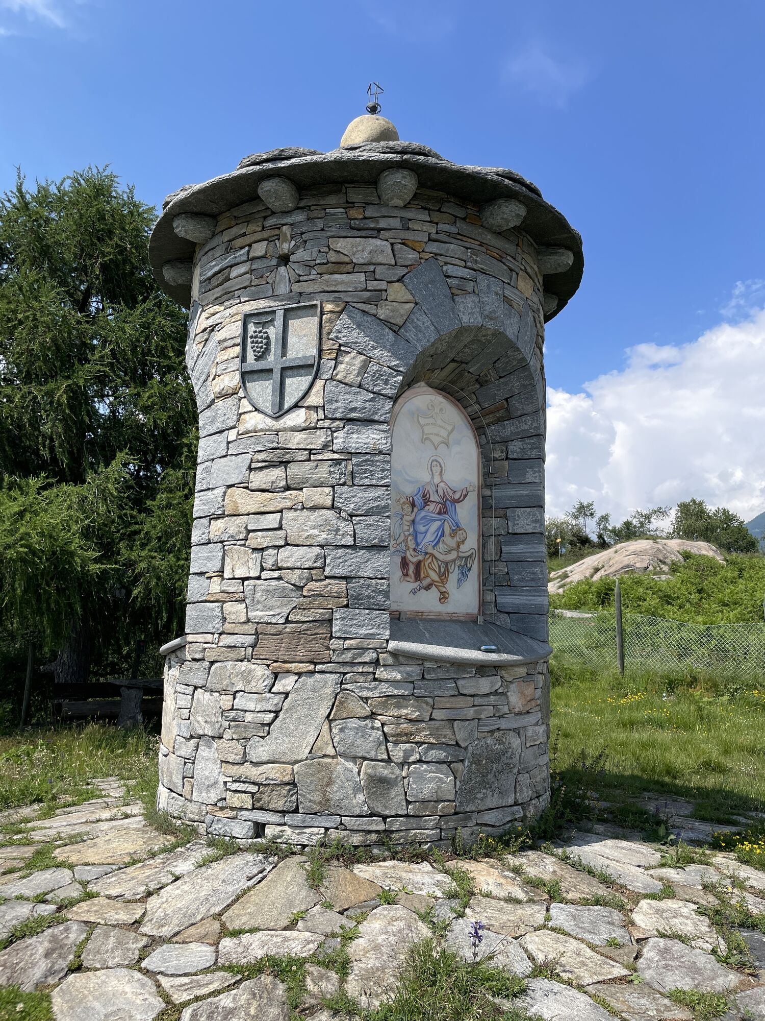
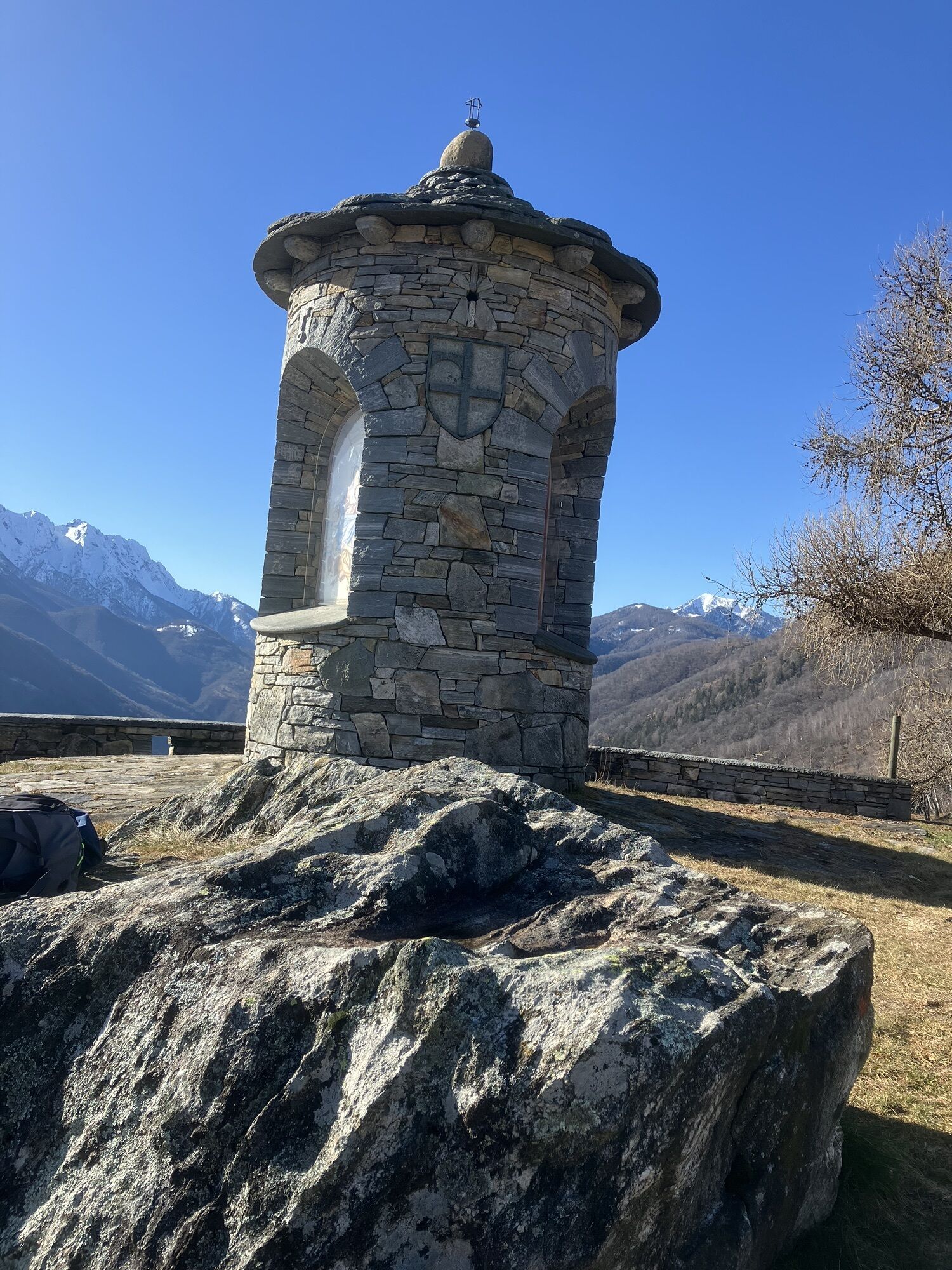
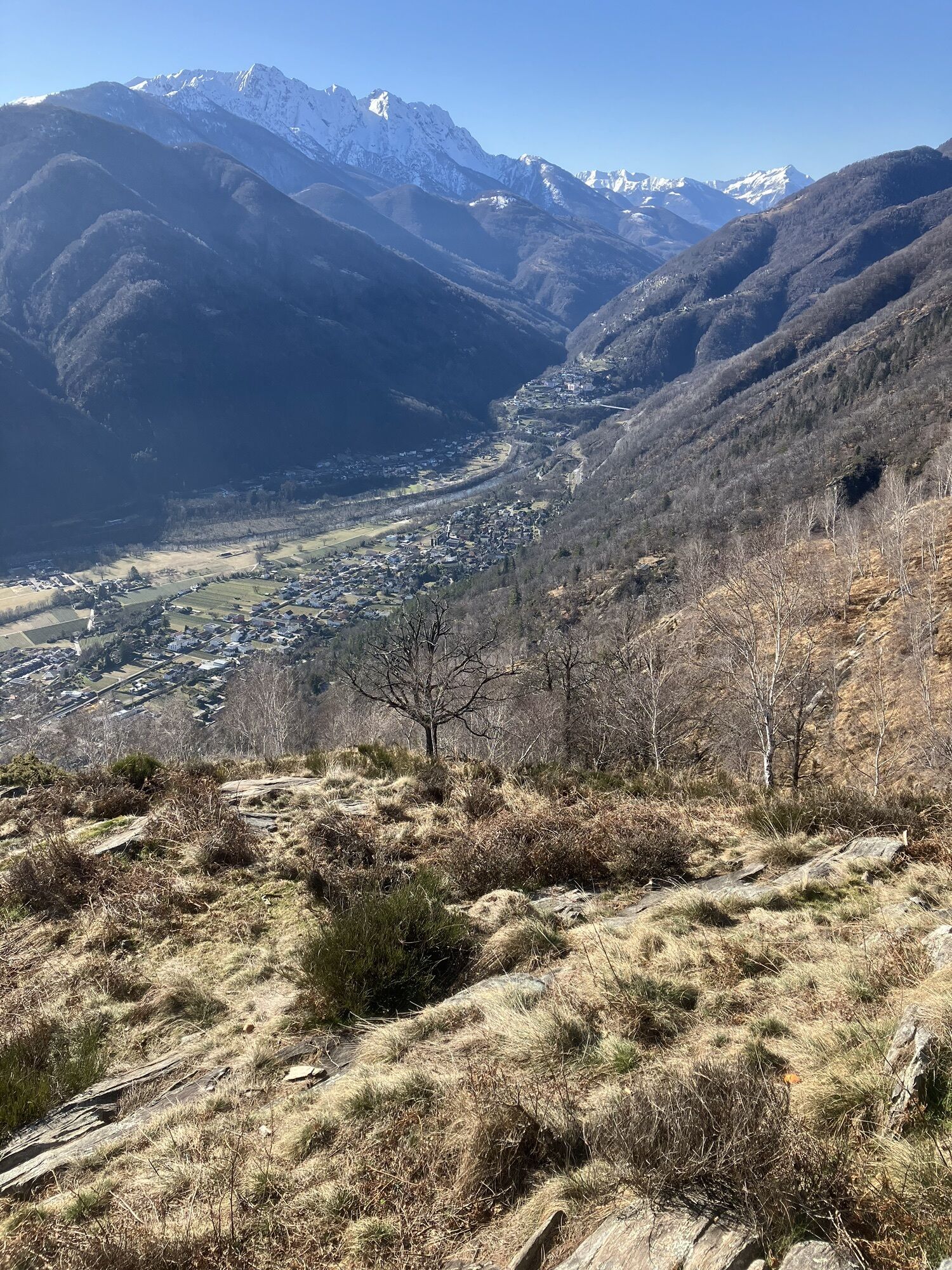
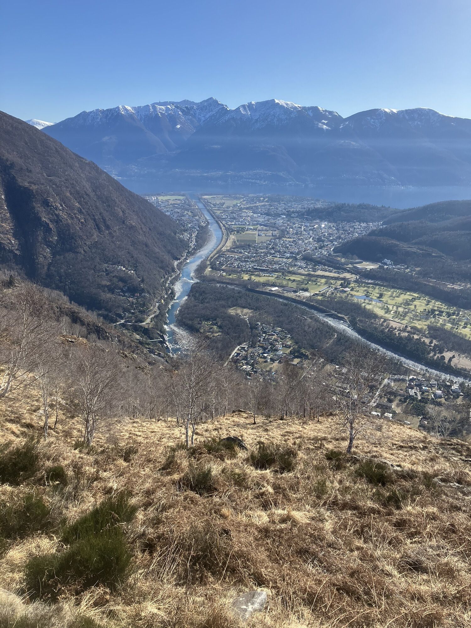
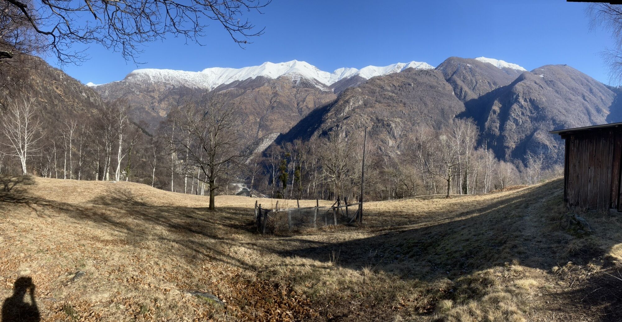
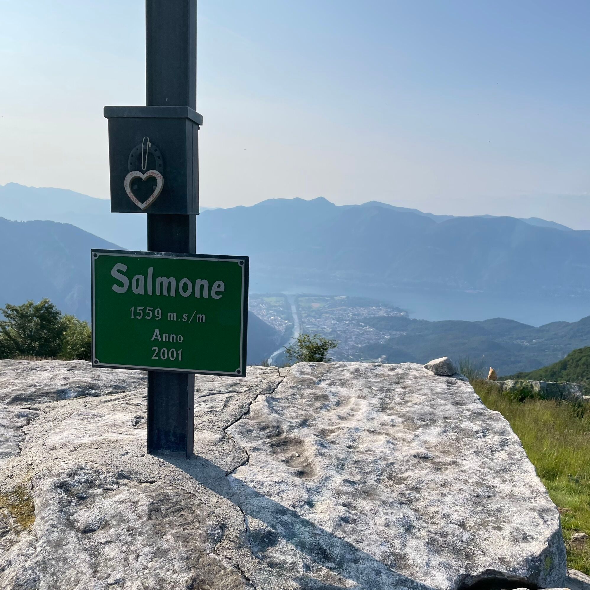
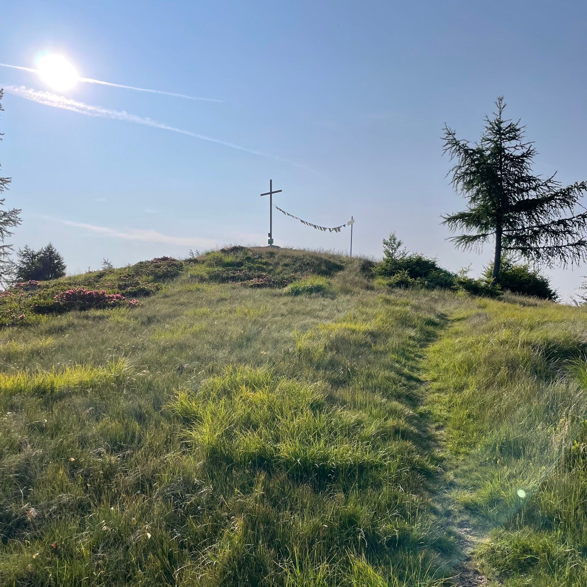
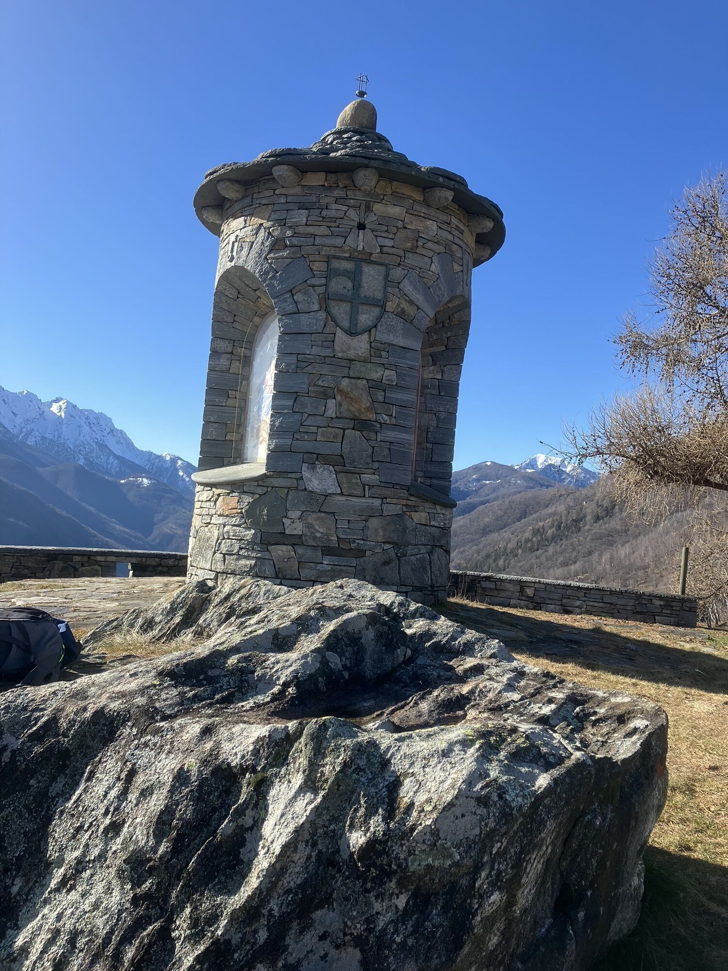
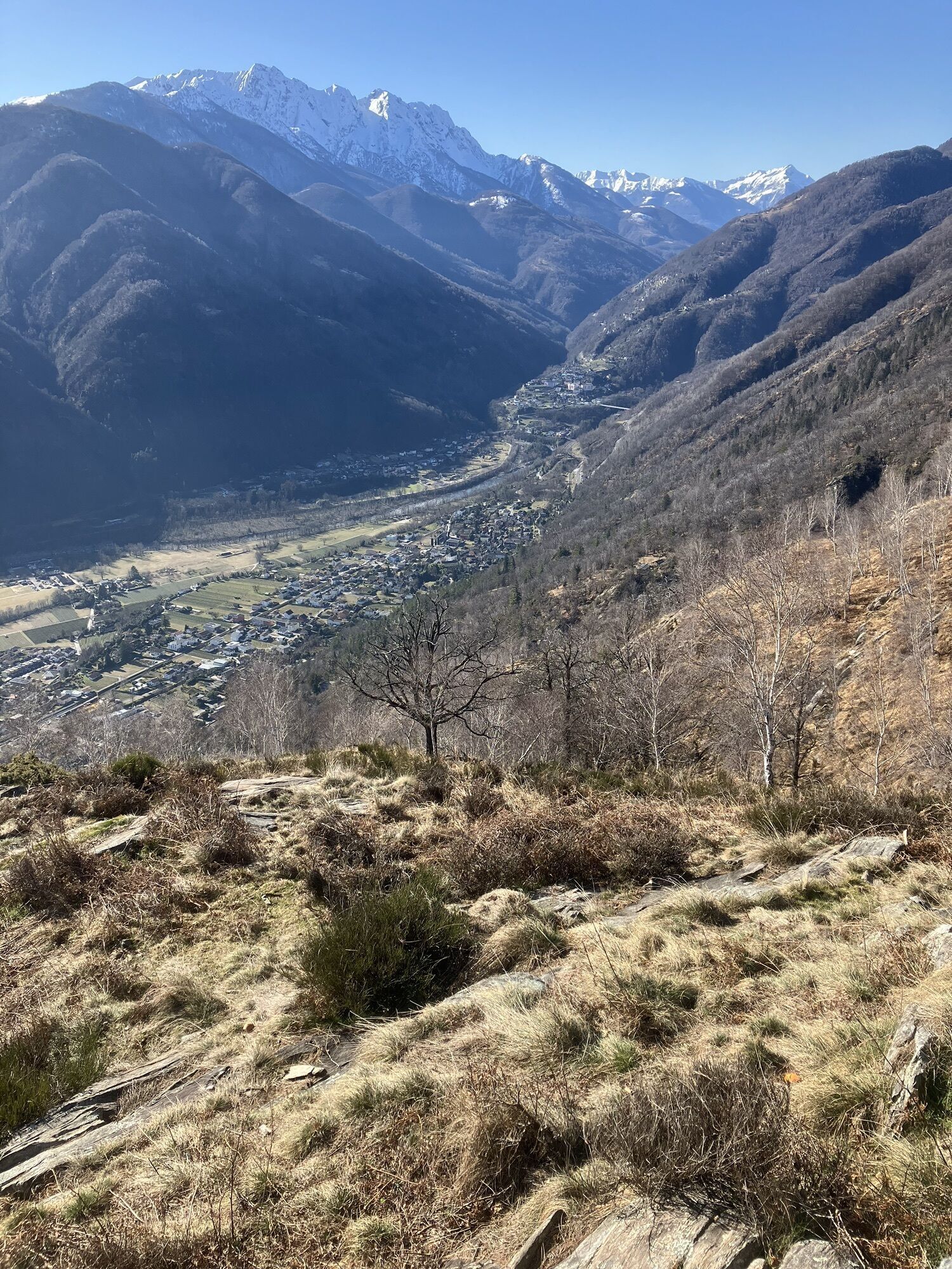
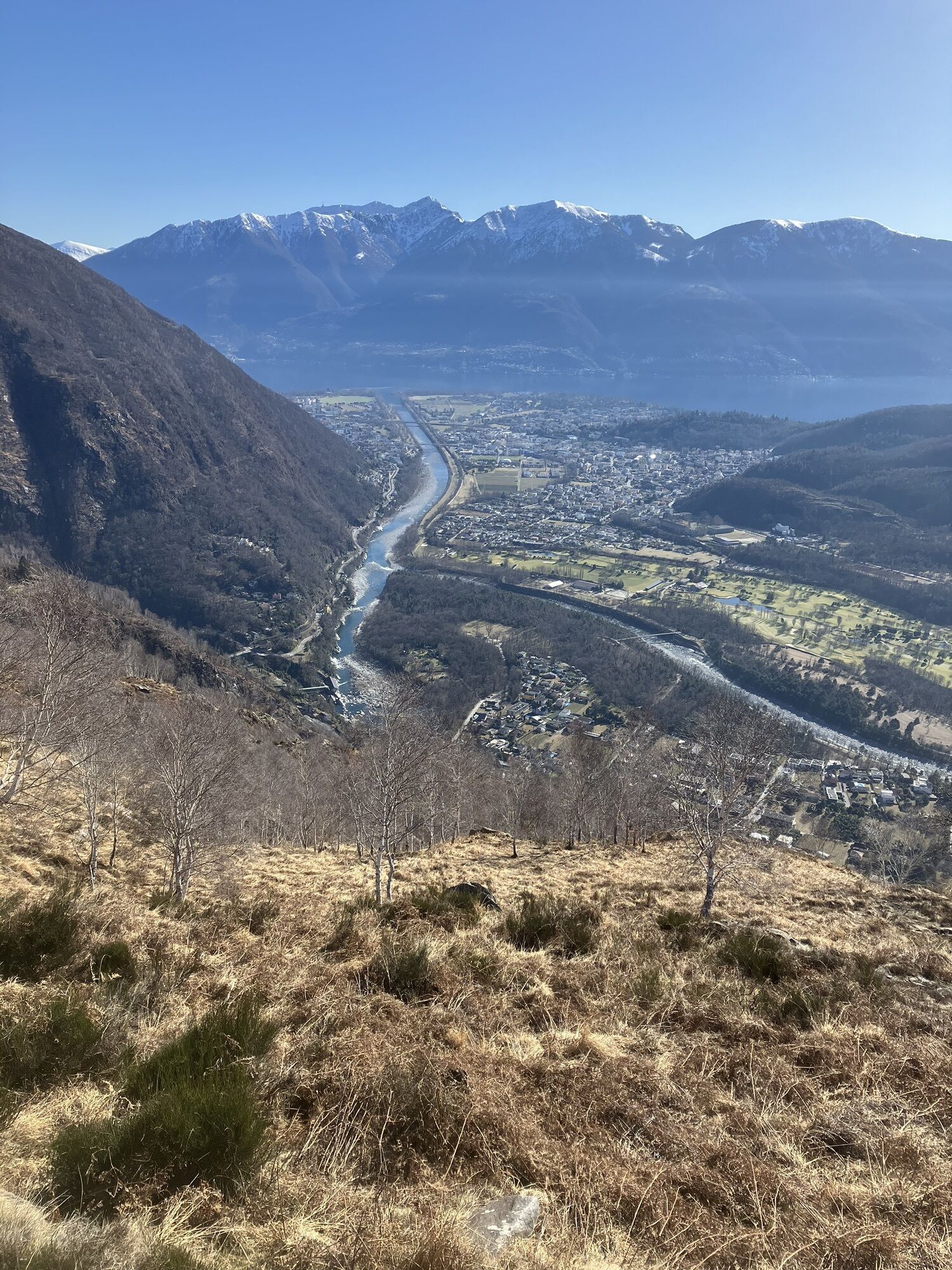
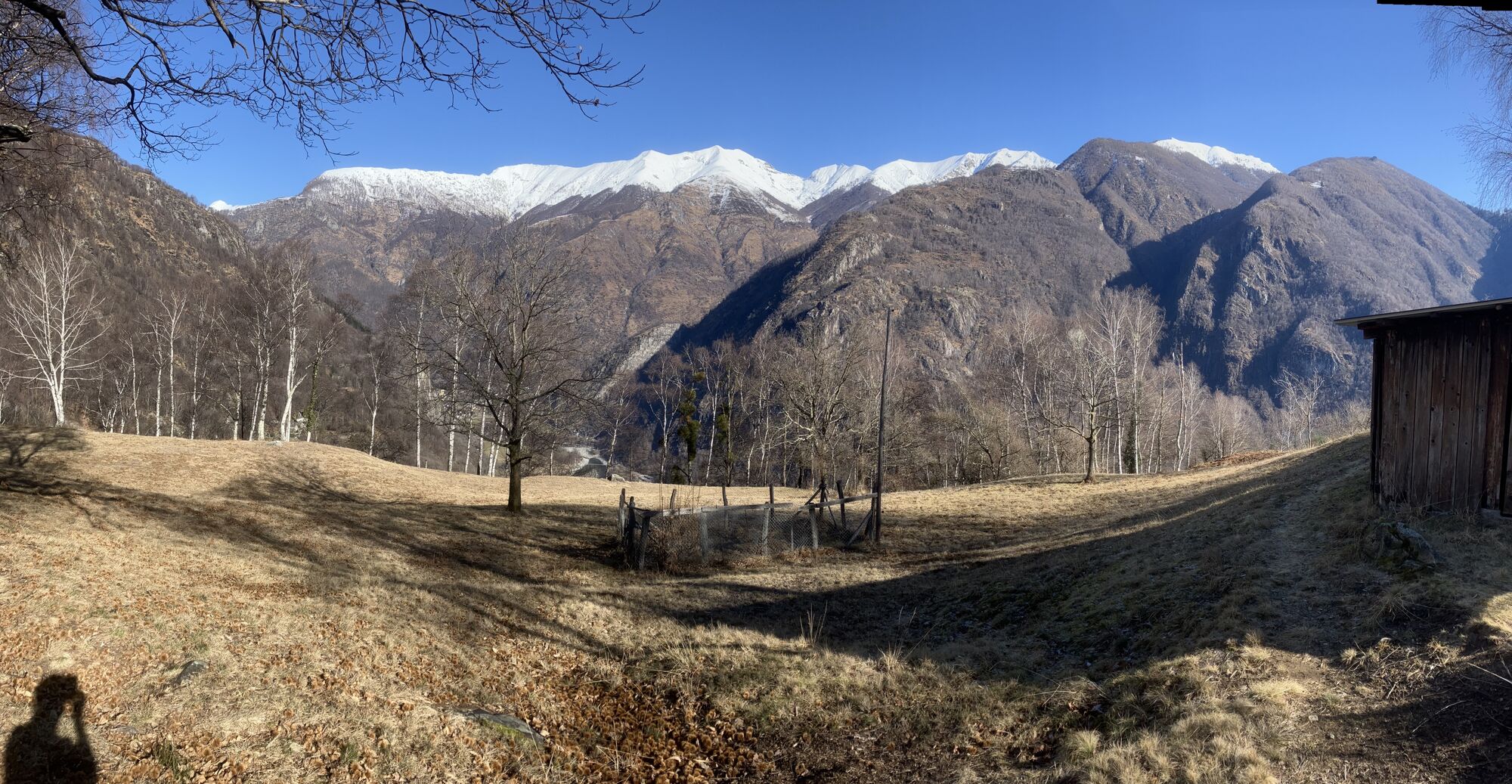
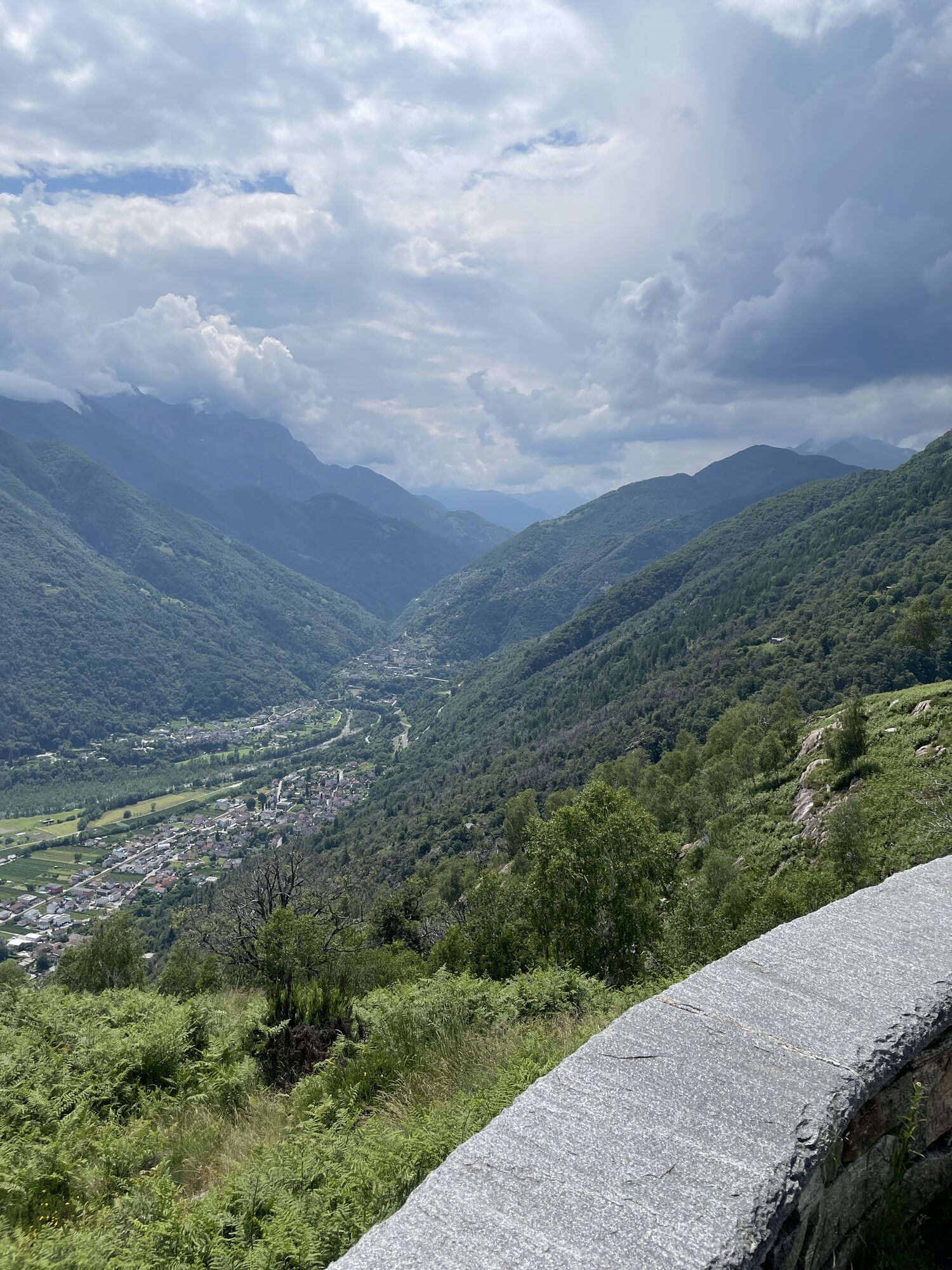
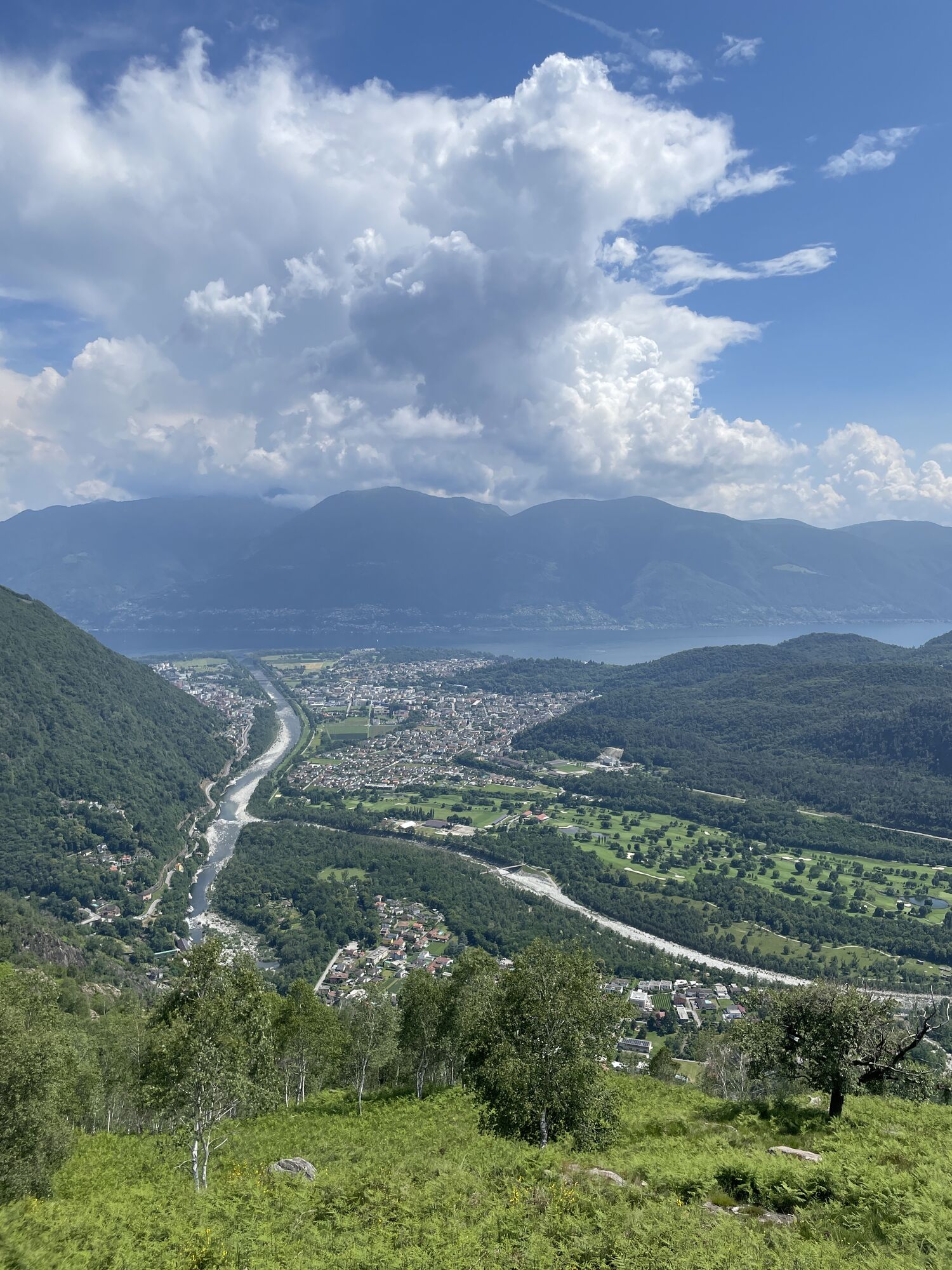
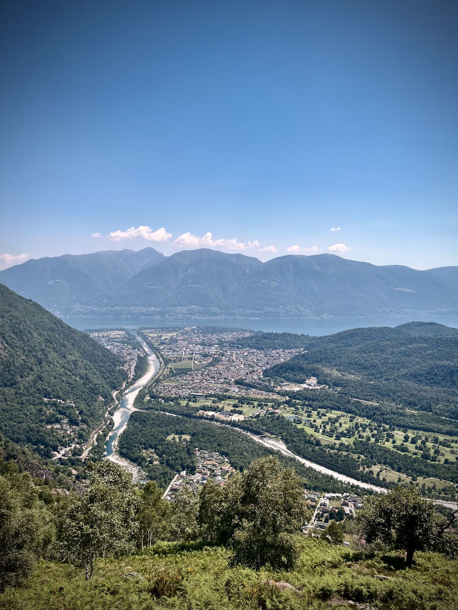
"From larches to palms" may seem like a cliché title. But the last stage of the Via Alta is a fine cross-section of all alpine vegetation zones, a sort of hanging botanical garden. Starting from larches,...
"From larches to palms" may seem like a cliché title. But the last stage of the Via Alta is a fine cross-section of all alpine vegetation zones, a sort of hanging botanical garden. Starting from larches, typical trees of the high altitudes, to elegant birches, beeches, robust centuries-old chestnut trees; ending the journey under the eyes of those Asian-origin palms that are steadily infiltrating in the low-altitude woods. The trail winds through the wonderful nature of the Terre di Pedemonte, passing through Streccia, a beautiful hamlet, before descending to Ponte Brolla. At Ponte Brolla, the threshold of the Vallemaggia, a look at the gorges: the entire Via Alta area drains through their rocks. Here ends our great journey.
Source: Via Alta Vallemaggia Association

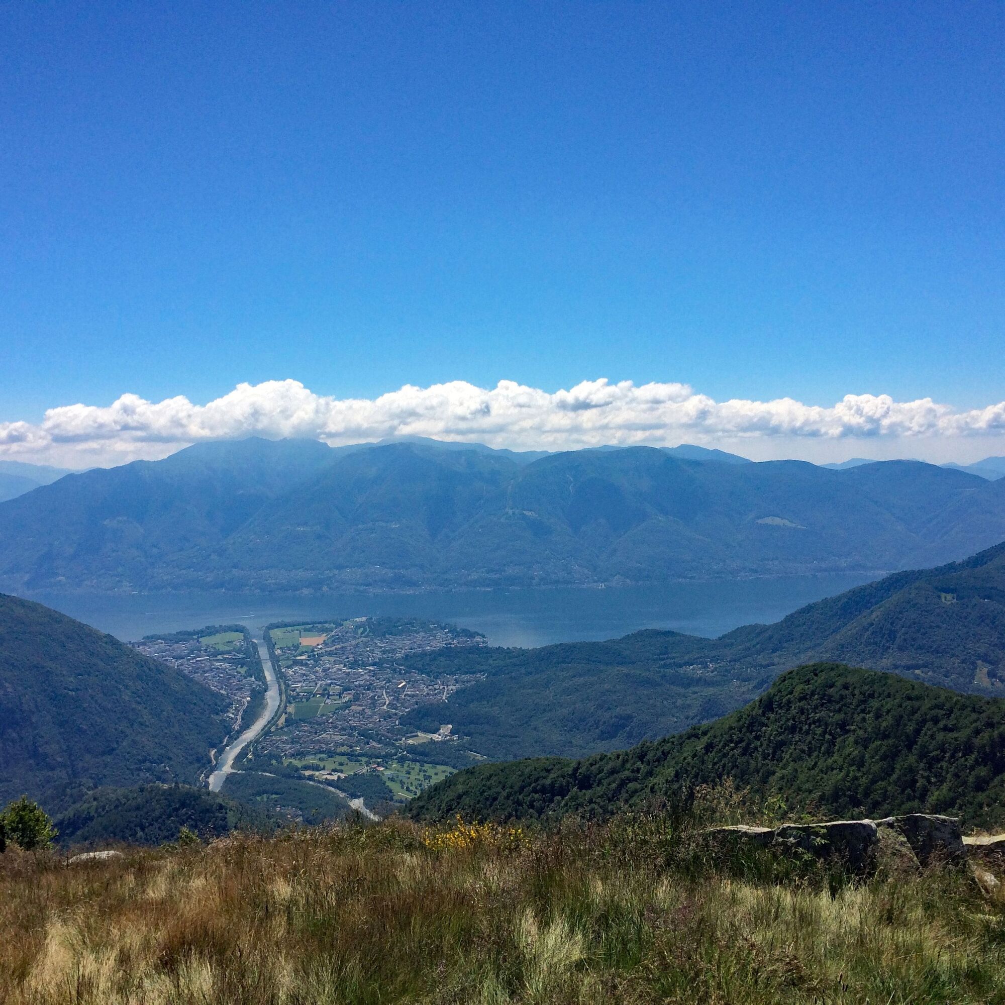

Salmone-Testa-Streccia-Colma-Forcola-Cropp-Ponte Brolla
Da
Good hiking boots
Adequate clothing
Sunglasses, sun protection
Map 1:25,000, altimeter, compass, possibly GPS
Small first aid kit, emergency thermal blanket
Enough food and drinks
ID card, cash (Swiss francs and euros for the refuge in Italy)
The Via Alta Vallemaggia runs alternately on mountain trails (T3) and on alpine tracks (T4-T5–). Occasionally, it is necessary to face short exposed passages with risk of falling and stretches of simple climbing. Often the more delicate passages are equipped with chains or crampons.
Some huts open their doors already in June, when the connecting stages are usually still snow-covered. Generally, the best trekking season is from July to September/October. However, even in midsummer, it is advisable to contact the wardens to inquire about the passability of the route. Booking overnight stays is mandatory to avoid unpleasant surprises and finding yourself without accommodation.
Required:
Good experience in alpine environment Adequate physical condition Detailed planning (e.g. descents to the valley, weather, ...) Secure footing off the trails and no fear of heightsDo not underestimate:
High altitude Sudden weather changes Presence of snowfields at the beginning of the season Times of passage (especially with large groups) Often no phone reception Lack of drinking water sources along some stagesEmergency number in Switzerland REGA: 1414
General emergency number (international): 112
When calling 112, the call is transferred directly to the competent rescue unit (ambulance, police, fire brigade). 112 can be called on GSM network even if the SIM card or the mobile phone are locked. In almost all countries, 112 works on GSM networks. Outside Switzerland, it works even without a SIM card.
In case of emergency:
Stay calm Protect injured and people in difficulty from further dangers, cold and bad weather Provide first aid Call for help and start rescue operations; do not leave the injured alone Also think about your safetyT3
BOOK NOW
Check the availability of beds in the huts of the Via Alta Vallemaggia by indicating the departure day, the number of participants, and the chosen direction.
Reservations must be made individually for each hut. By clicking on the number of available beds, the reservation page of the respective hut will open.
https://www.viaaltavallemaggia.ch/it/verifica-disponibilita
https://www.viaaltavallemaggia.ch/it/capanne
Spletne kamere s turneje

Priljubljeni izleti v okolici
-
4.7
Verzasca Dam-Mergoscia-Corippo-Lavertezzo
srednjaPohodništvo 13.0 km -
4.8
Valle del Salto round route (SvizzeraMobile 611)
srednjaPohodništvo 8.84 km -
5.0
Lavertezzo-Brione Verzasca
svetlobaPohodništvo 6.50 km -
4.8
Avegno-Ponte Brolla-Avegno
srednjaPohodništvo 8.56 km -
3.8
Entlang der Verzasca von Sonogno via Brione nach Lavertezzo
svetlobaPohodništvo 14.5 km -
4.5
Revöira Ethnographic Trail (SwitzerlandMobility 629)
srednjaPohodništvo 7.97 km -
3.8
Cannobio zu Sant’Aagata
svetlobaPohodništvo 5.85 km -
4.0
Maggia-Someo-Maggia
svetlobaPohodništvo 15.5 km -
3.0
Cardada-Cimetta-Alpe Vegnasca-Cardada
srednjaPohodništvo 6.86 km -
4.0
Cardada Bike (SwitzerlandMobility 397)
težkoMountainbike 30.6 km
Pohodništvo in sledenje


Ne zamudite ponudb in navdiha za naslednje počitnice
Vaš e-poštni naslov je bil dodan na poštni seznam.





