


The Iron Route - Valle Morobbia
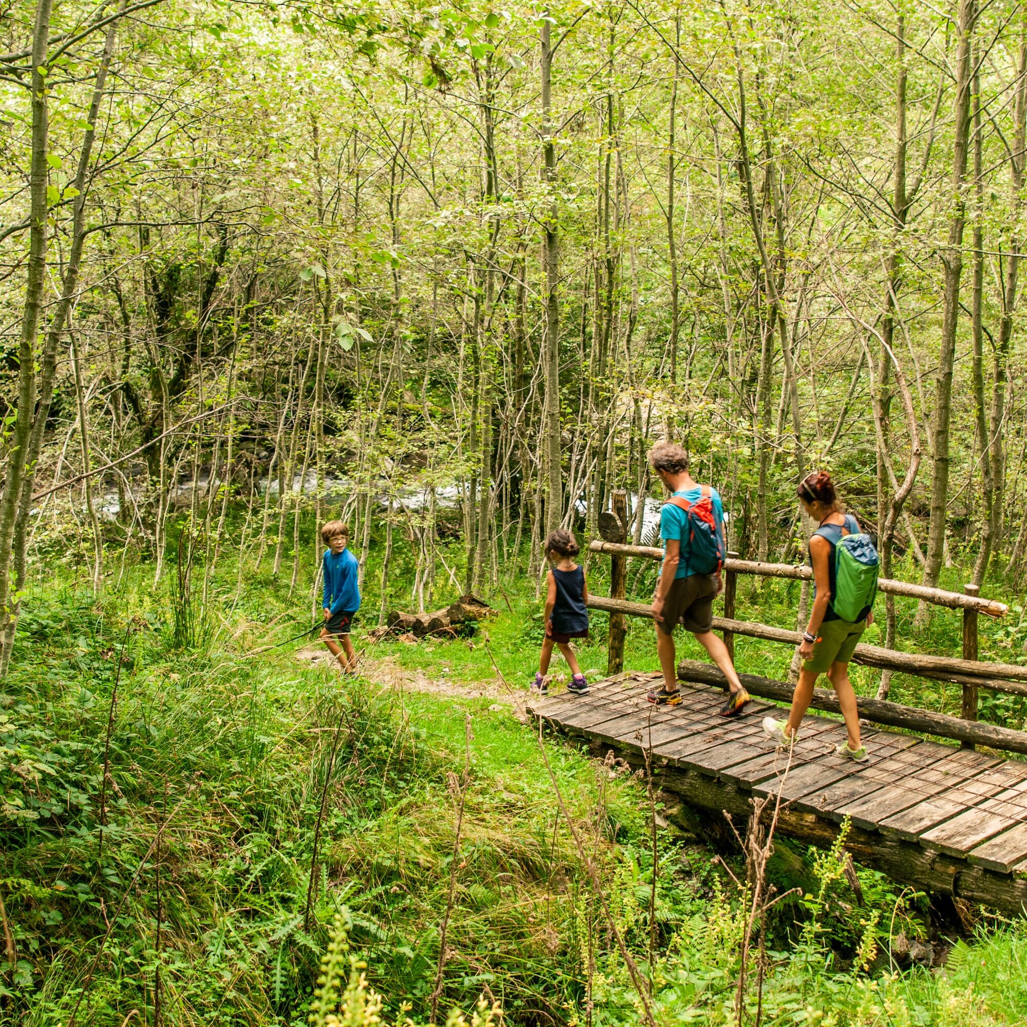
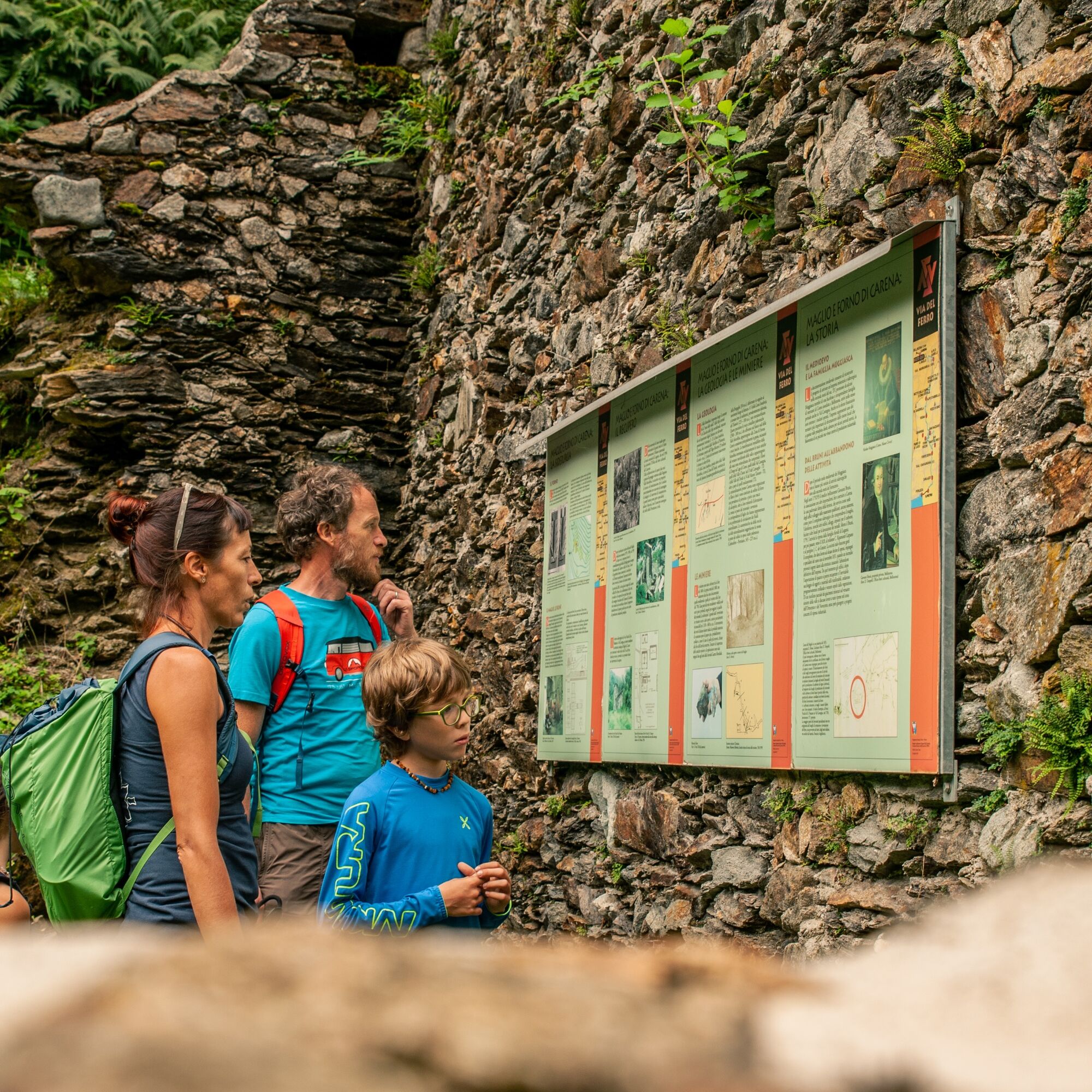
The thematic route starts from Piazza della Via del Ferro in Carena, home to a commemorative statue and the first information panels. It visits all points of interest related to the extraction and processing...
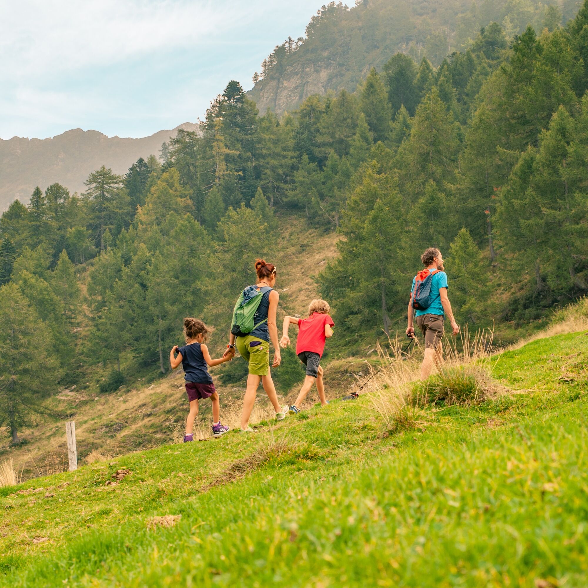
The thematic route starts from Piazza della Via del Ferro in Carena, home to a commemorative statue and the first information panels. It visits all points of interest related to the extraction and processing of iron that developed in the upper valley during the second half of the 15th century and between the 18th and 19th centuries. It is therefore possible to visit the ruins of the Maglio and Furnace in Carena, uncovered after almost two centuries of abandonment, the two mines in Valletta rediscovered in 2005 (the inside of the mines can only be visited as part of a guided route), and the reconstruction of a charcoal kiln.
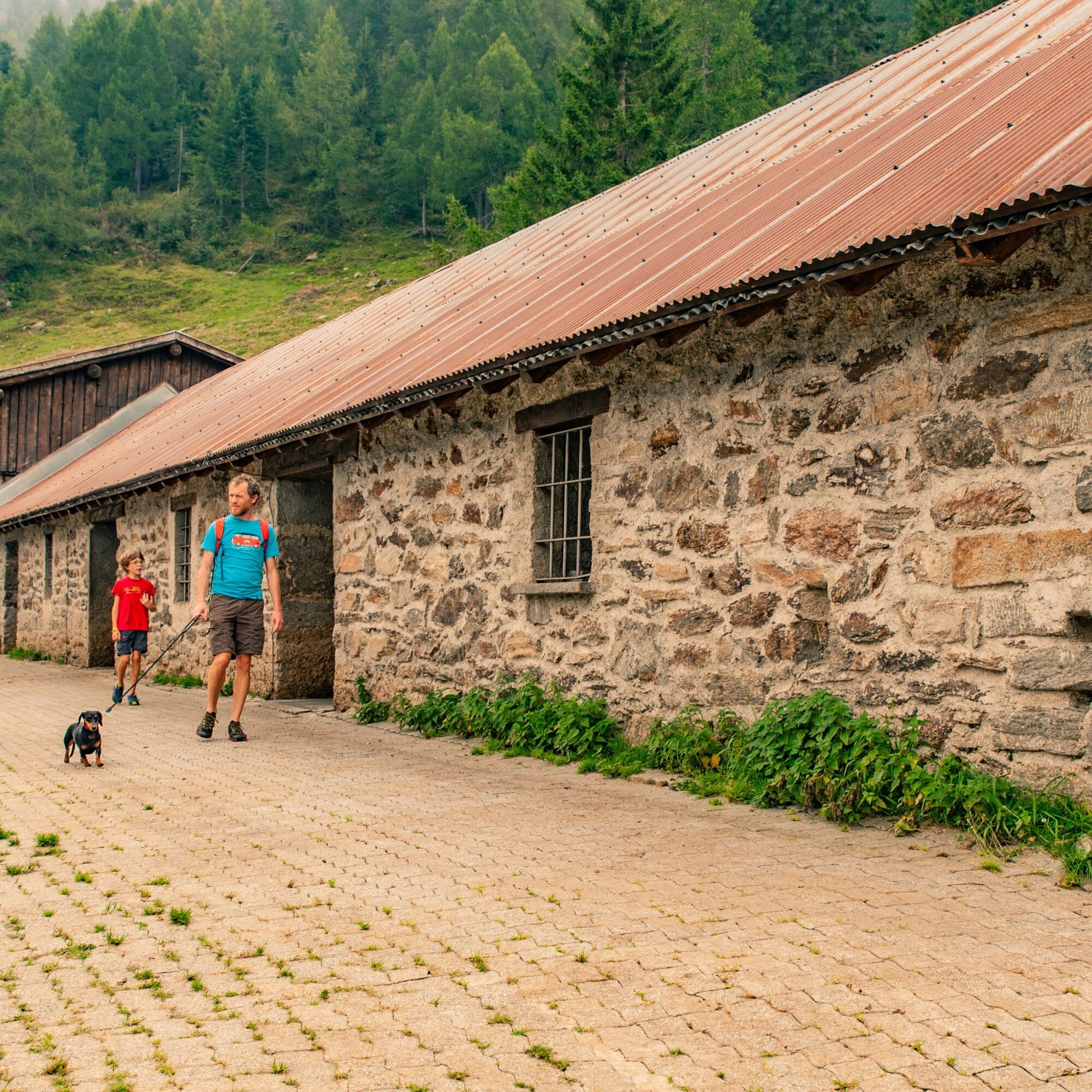
In addition to learning more about these historic industries thanks to the informative panels scattered along the route, this hike also allows immersion in the charming alpine landscape of the upper valley, bringing you into direct contact with beekeeping on Alpe Giumello and reforestation that took place in the Giggio area during the first half of the last century. Climbing past Giumello, an enchanting view opens to the west over the Piano di Magadino, Lake Verbano with its mountains, and Monte Rosa on the horizon.
At Bocchetta di Sommafiume the route splits; on one side, ascending Motto della Tappa (or Cima Verta), you reach Valle Cavargna and Lake Ceresio, and on the other, descending into Valle Albano down to Dongo on Lake Como. These valleys also preserve important vestiges of ancient ironworking activities, highlighted by thematic panels: settlements, charcoal kilns, postal stations, connecting routes between extraction areas (quarries, mines), processing sites (blast furnaces, forges, water hammers), and product markets.


Da
Waterproof, lightweight and warm clothing
Hiking boots
Gloves, sun hat, change of clothes
Backpack weighing a maximum of 5-8 kg
First aid kit with pocket knife
Flashlight, sunglasses, sunscreen, water bottle
Hiking/topographic map and compass
Camera
Food
Rain cover for backpacks
Montagnepulite: This project was born to promote an effective management and sustainable use of mountain huts in Ticino, and in particular the litter management. The responsible management of litter in the mountains is a matter of common sense. We can all contribute: https://www.montagnepulite.ch/en/golden-rules
To explore the route, we recommend purchasing the official maps from the Federal Office of Topography Swisstopo. Additionally, the website map.geo.admin.ch offers constantly updated data.
Priljubljeni izleti v okolici
-
4.7
Tibetan Bridge route (SwitzerlandMobile 628)
srednjaPohodništvo 9.02 km -
4.7
Monte Grona Plesio, Lombardia
težkoVia ferrata 7.07 km -
4.8
Von Isone über den Camoghè 2.227m nach Colla
težkoPohodništvo 20.2 km -
4.5
Klettersteig dei tre signori, Monte Carasso
težkoVia ferrata 4.85 km -
5.0
Denti della Vecchia
srednjaPohodništvo 14.7 km -
4.3
The Bellinzona Fortress and its castles
svetlobaPohodništvo 5.41 km -
4.0
Sementina - Ponte Tibetano - Sementina
srednjaPohodništvo 6.67 km -
5.0
S‘Euphemia-Runde von Dongo nach Musso
svetlobaPohodništvo 9.67 km -
Lago di Canée
Pohodništvo 14.2 km -
5.0
Berg und See „at it’s best“
srednjaGorski pohodništvo 6.59 km

Pohodništvo in sledenje


Ne zamudite ponudb in navdiha za naslednje počitnice
Vaš e-poštni naslov je bil dodan na poštni seznam.