






Ethnographic circular route Odro
Stopnja težavnosti: T2
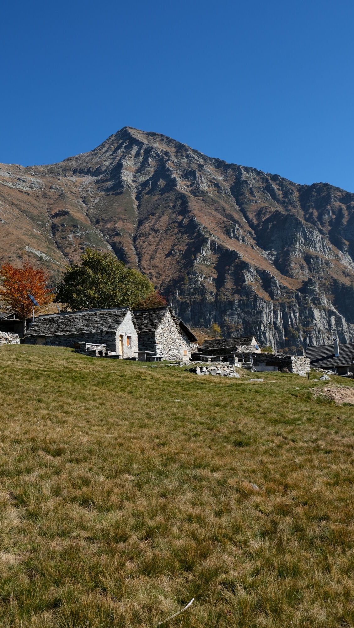
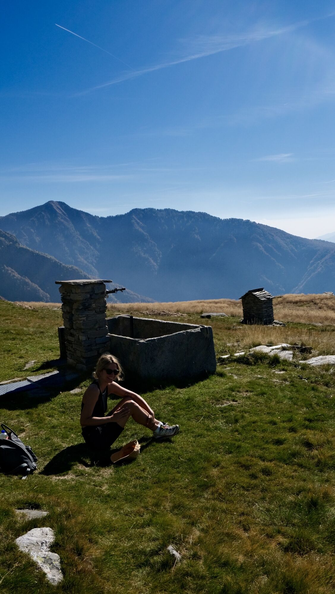
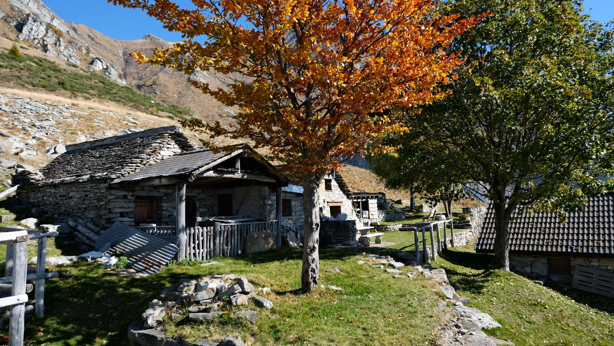
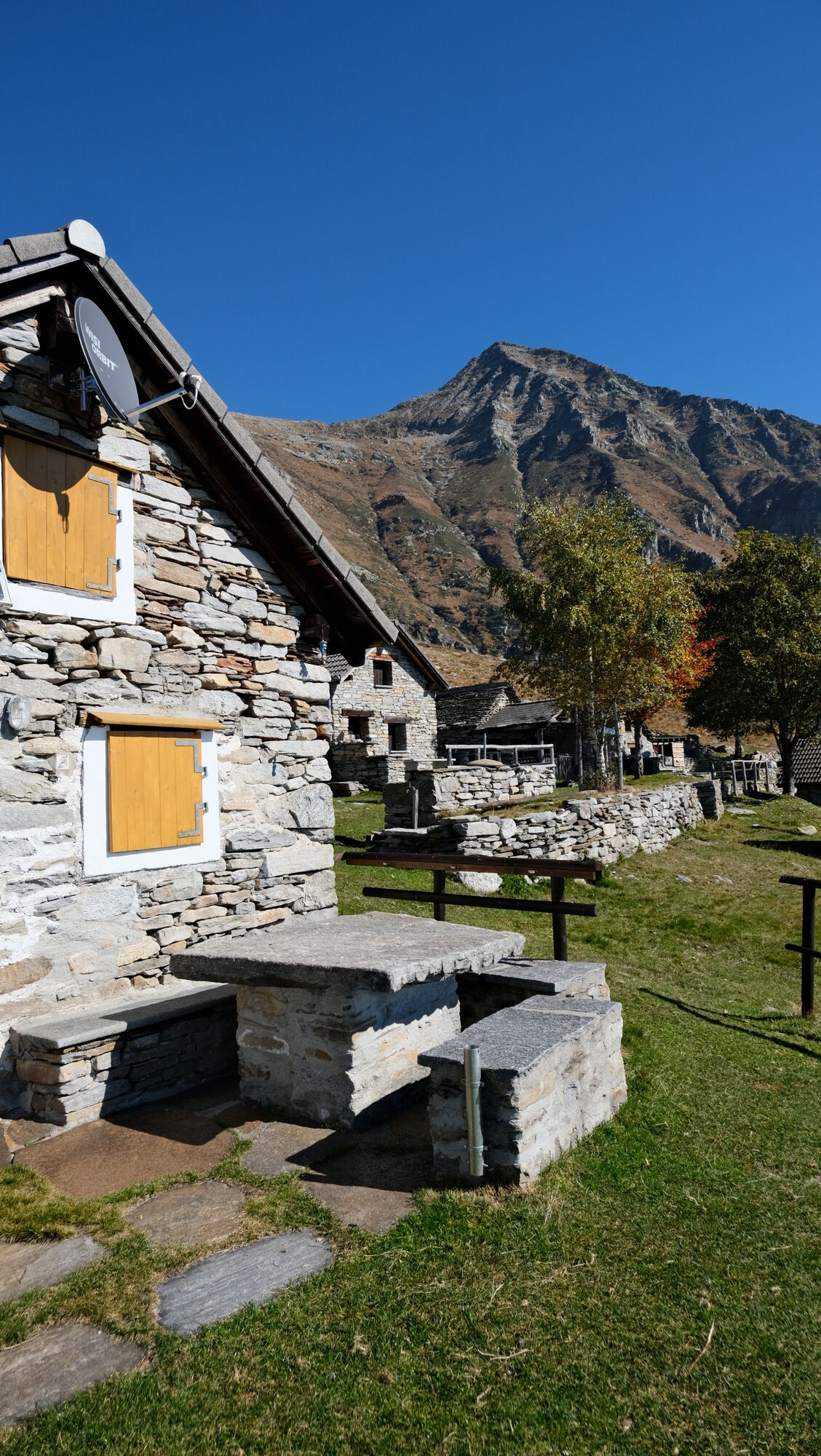
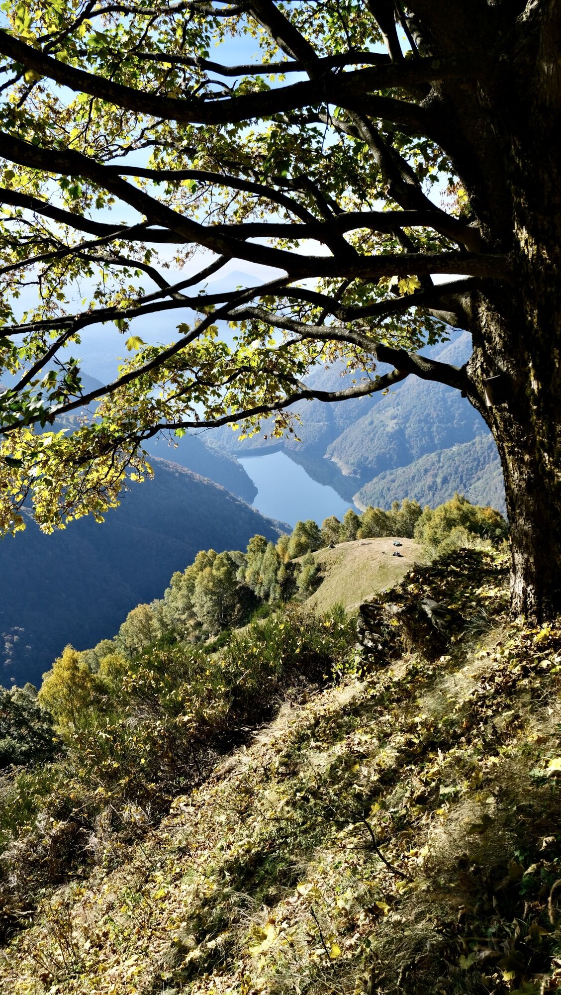
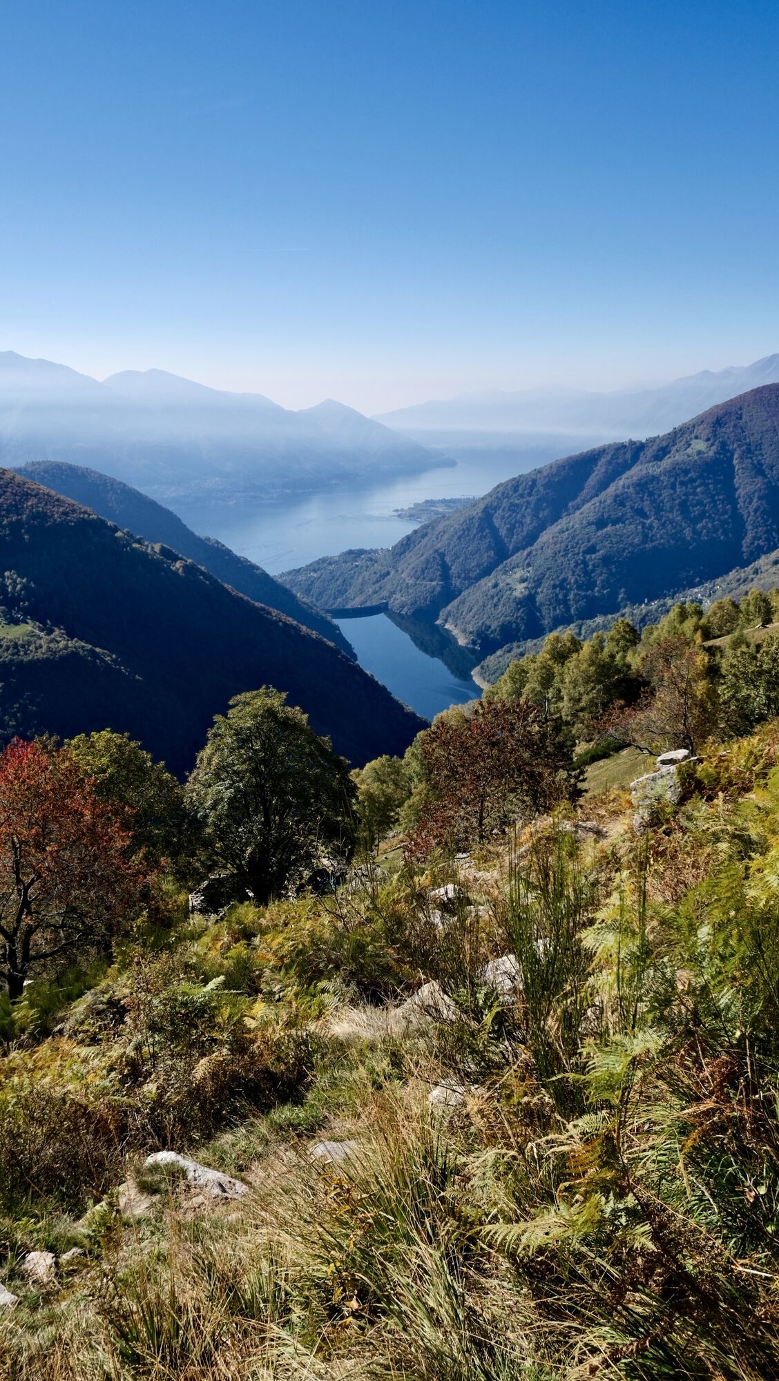
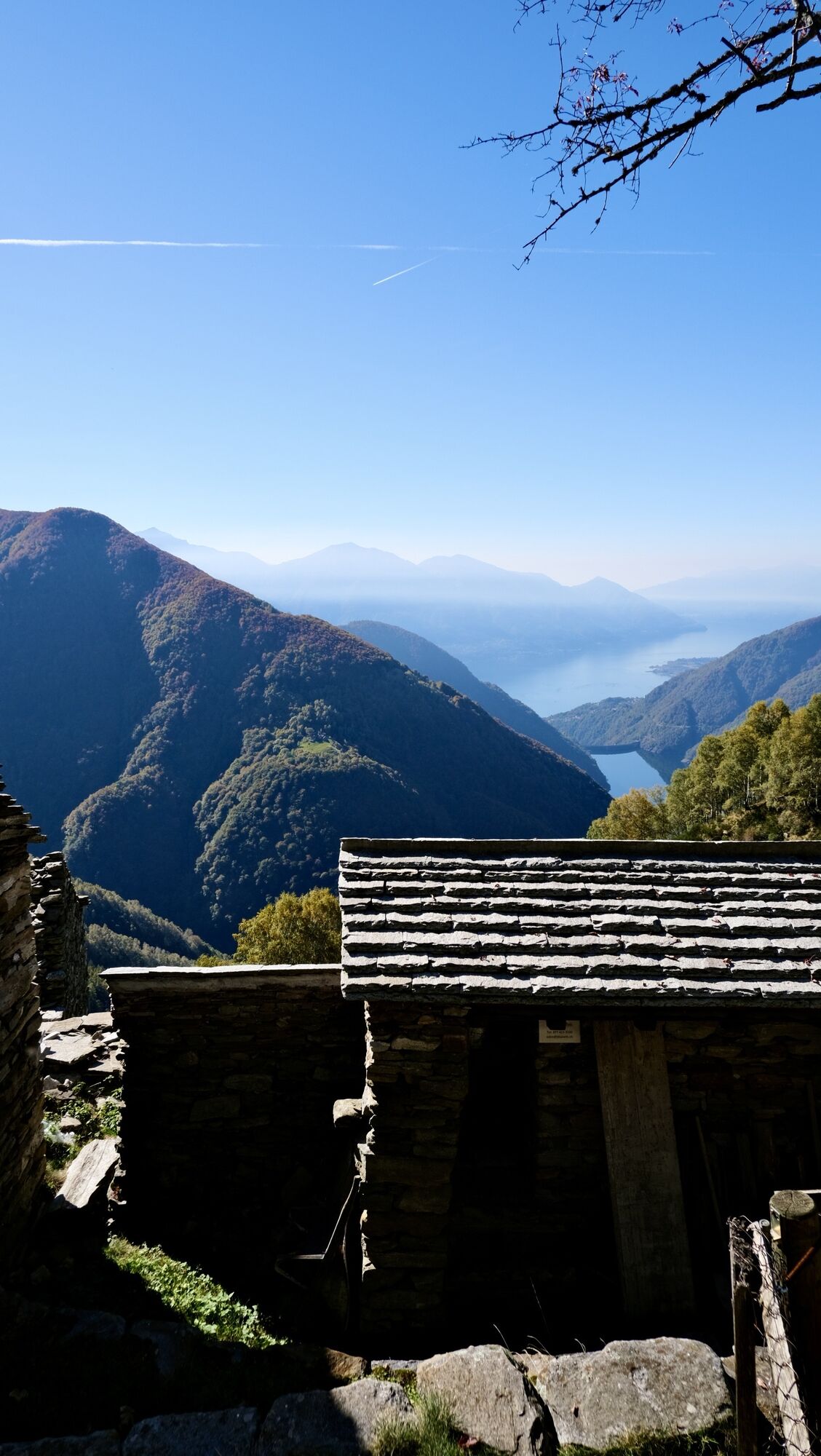
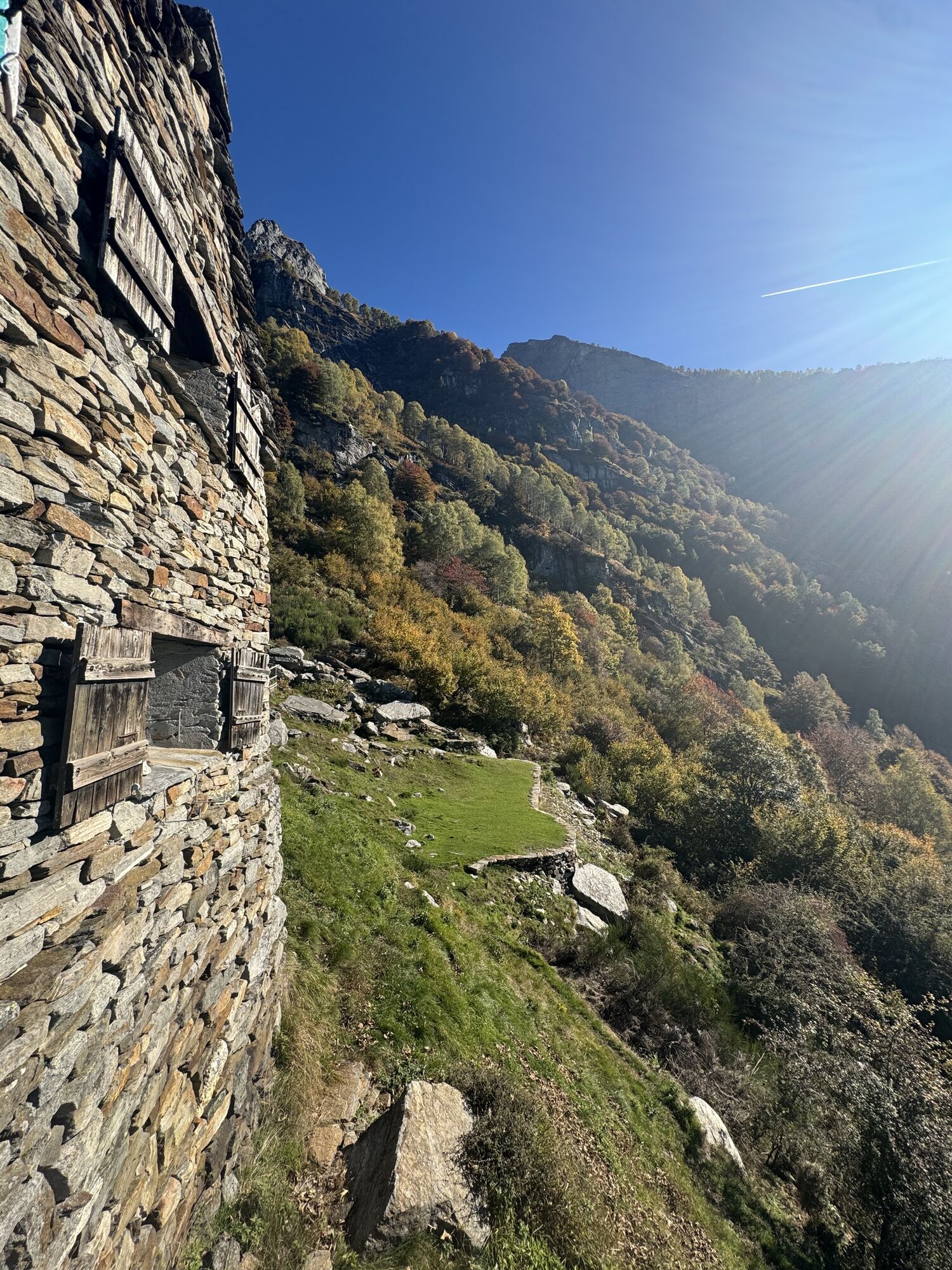
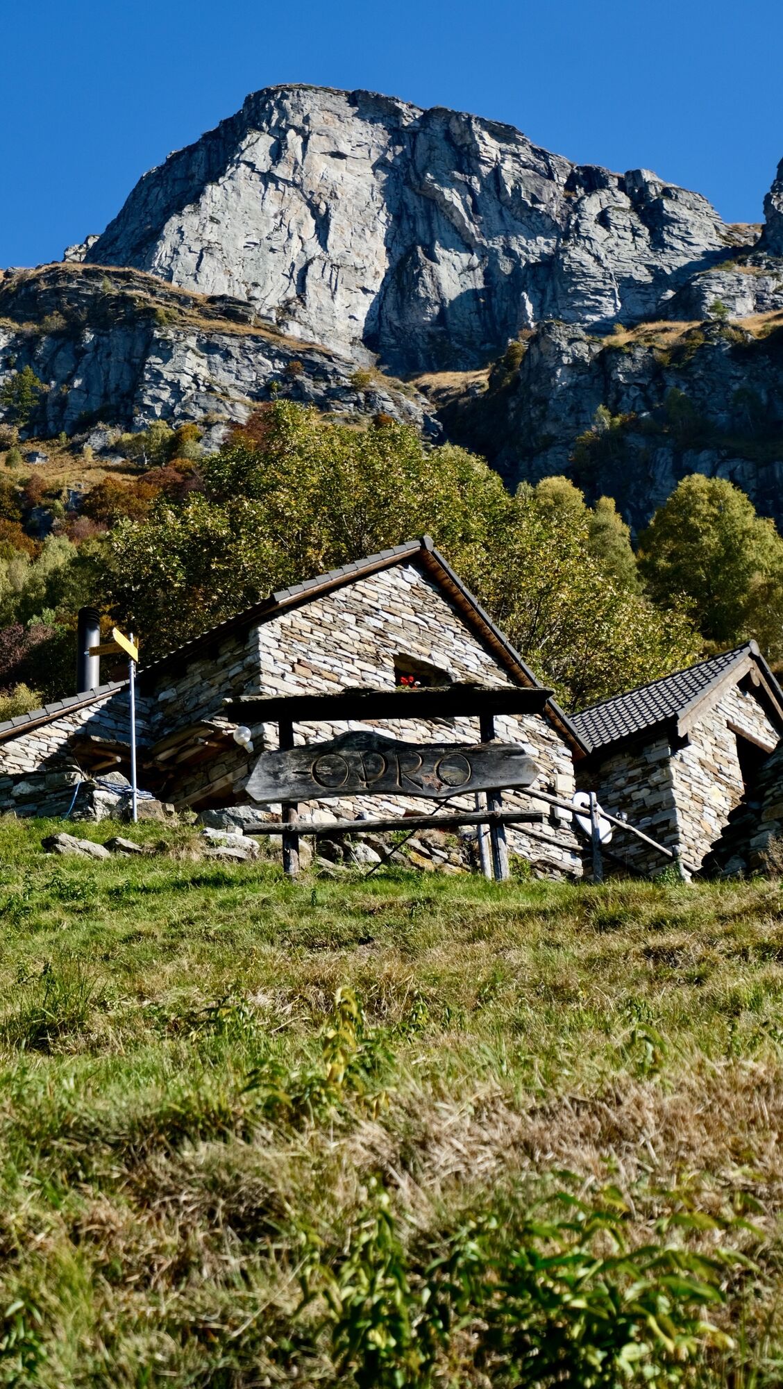
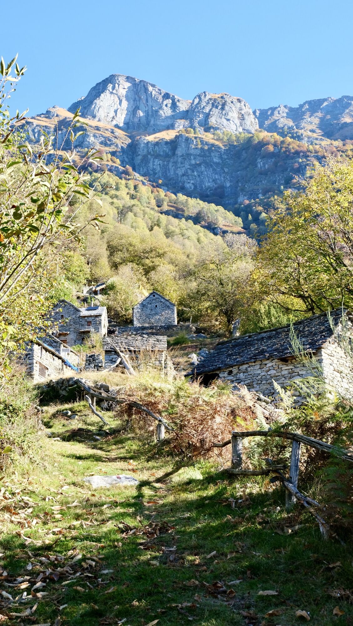
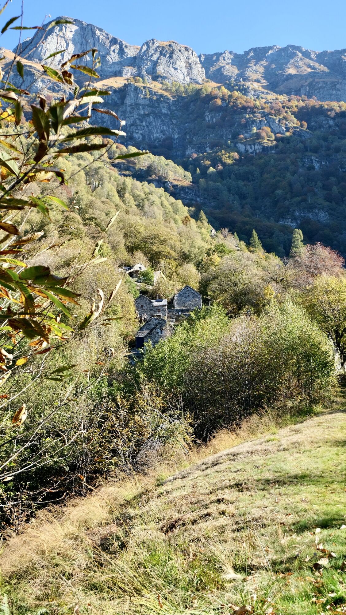
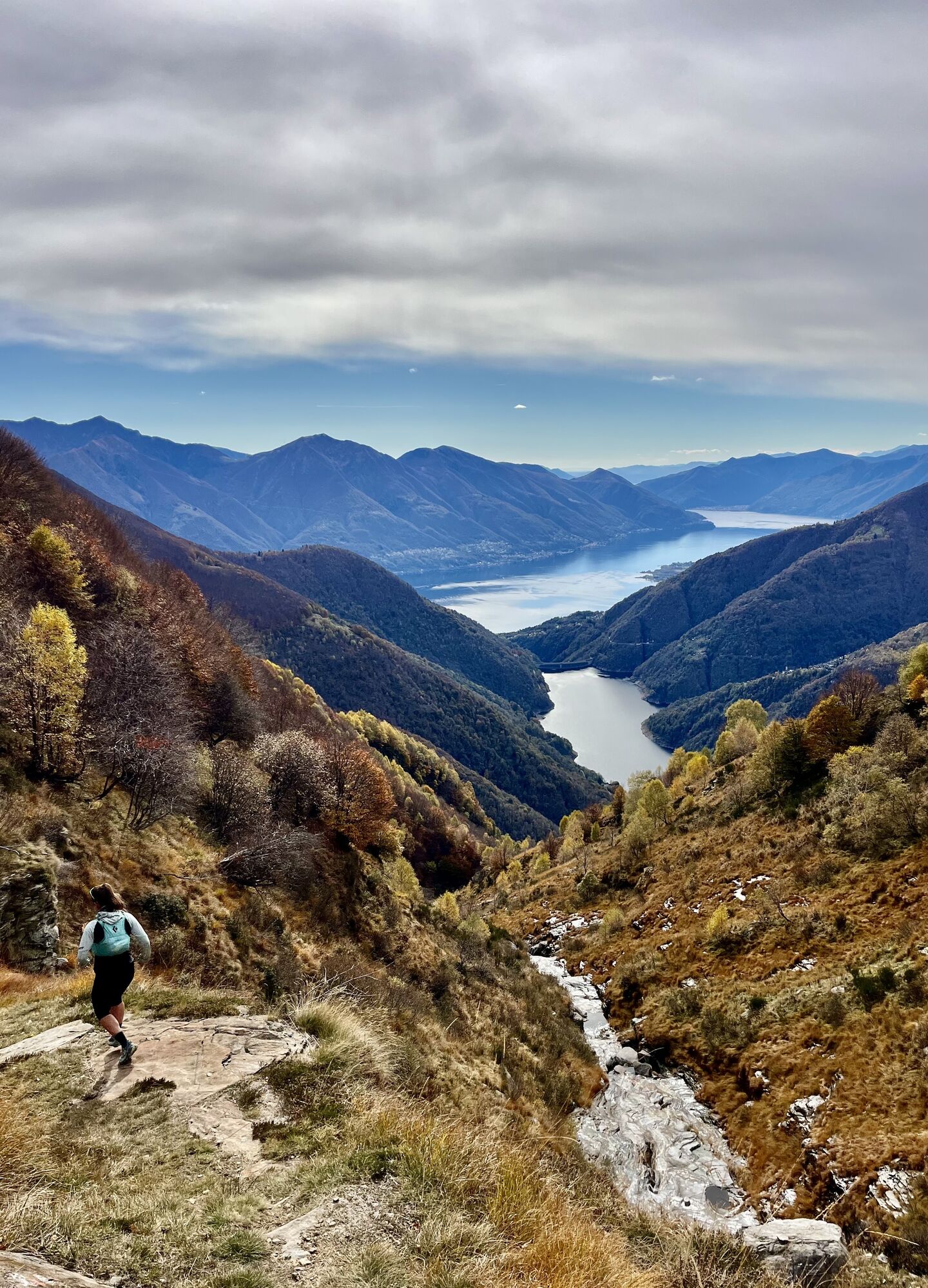
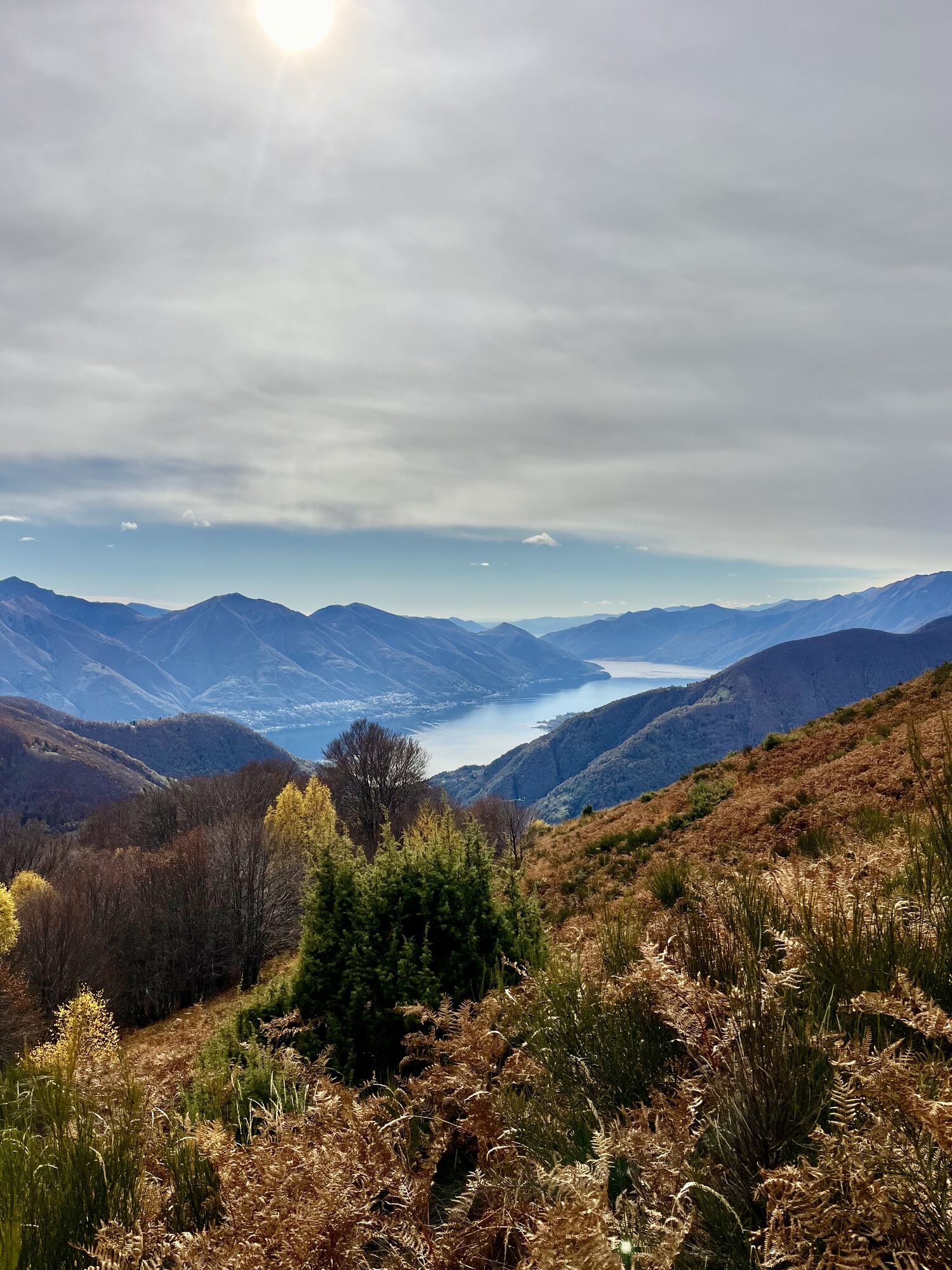
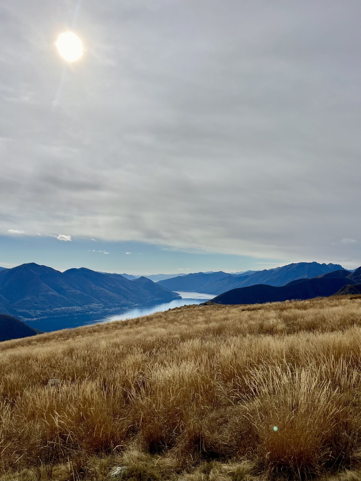
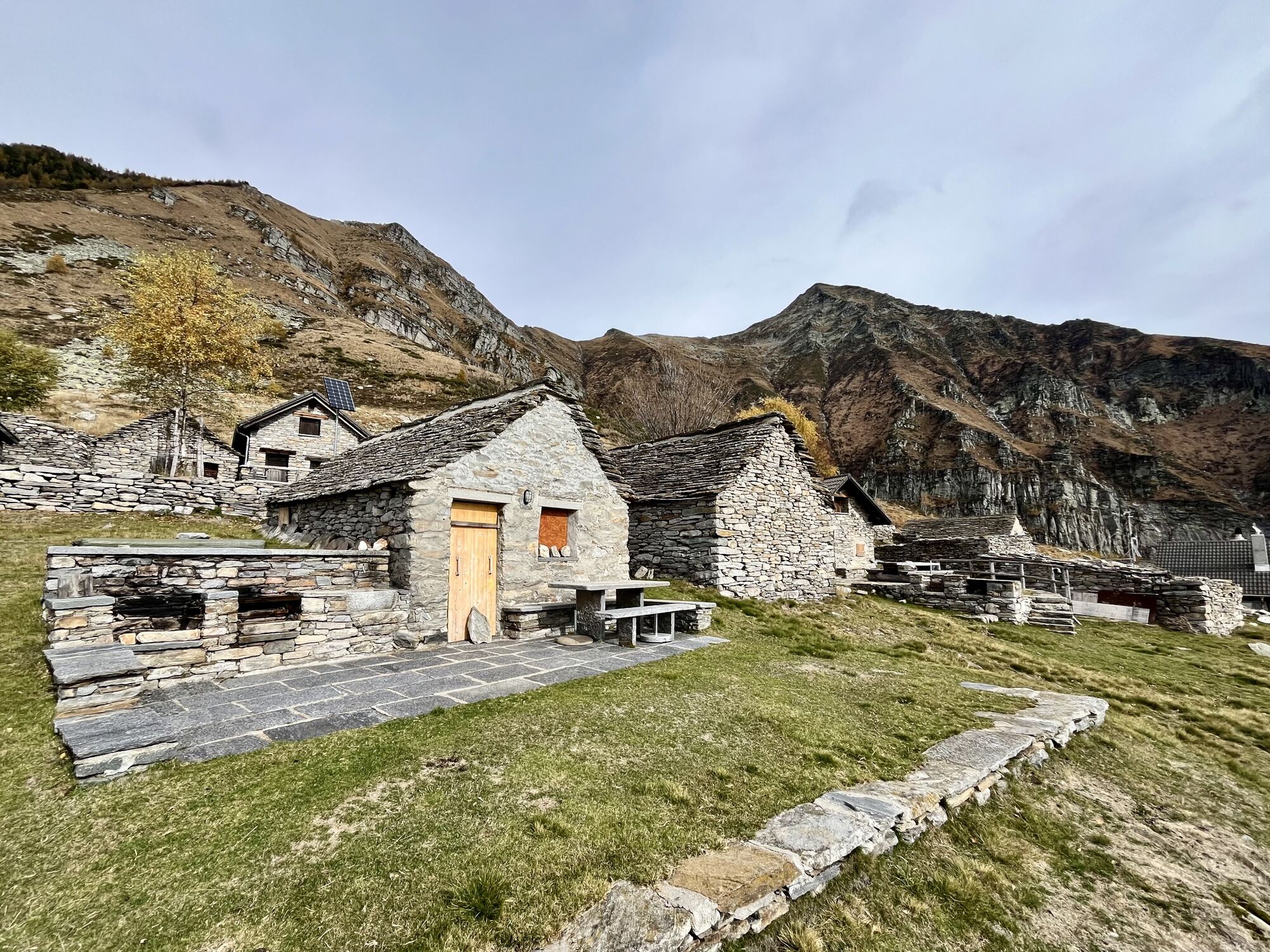
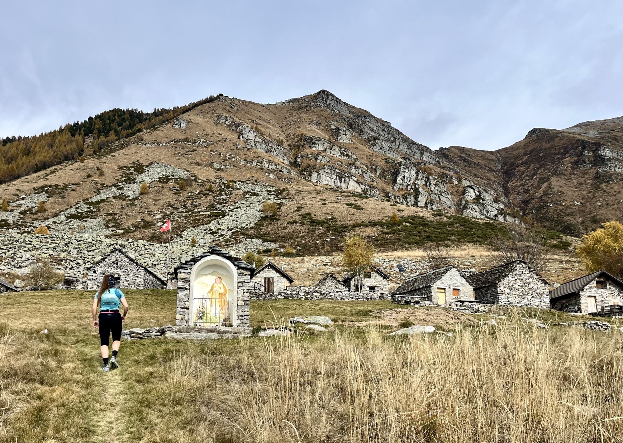
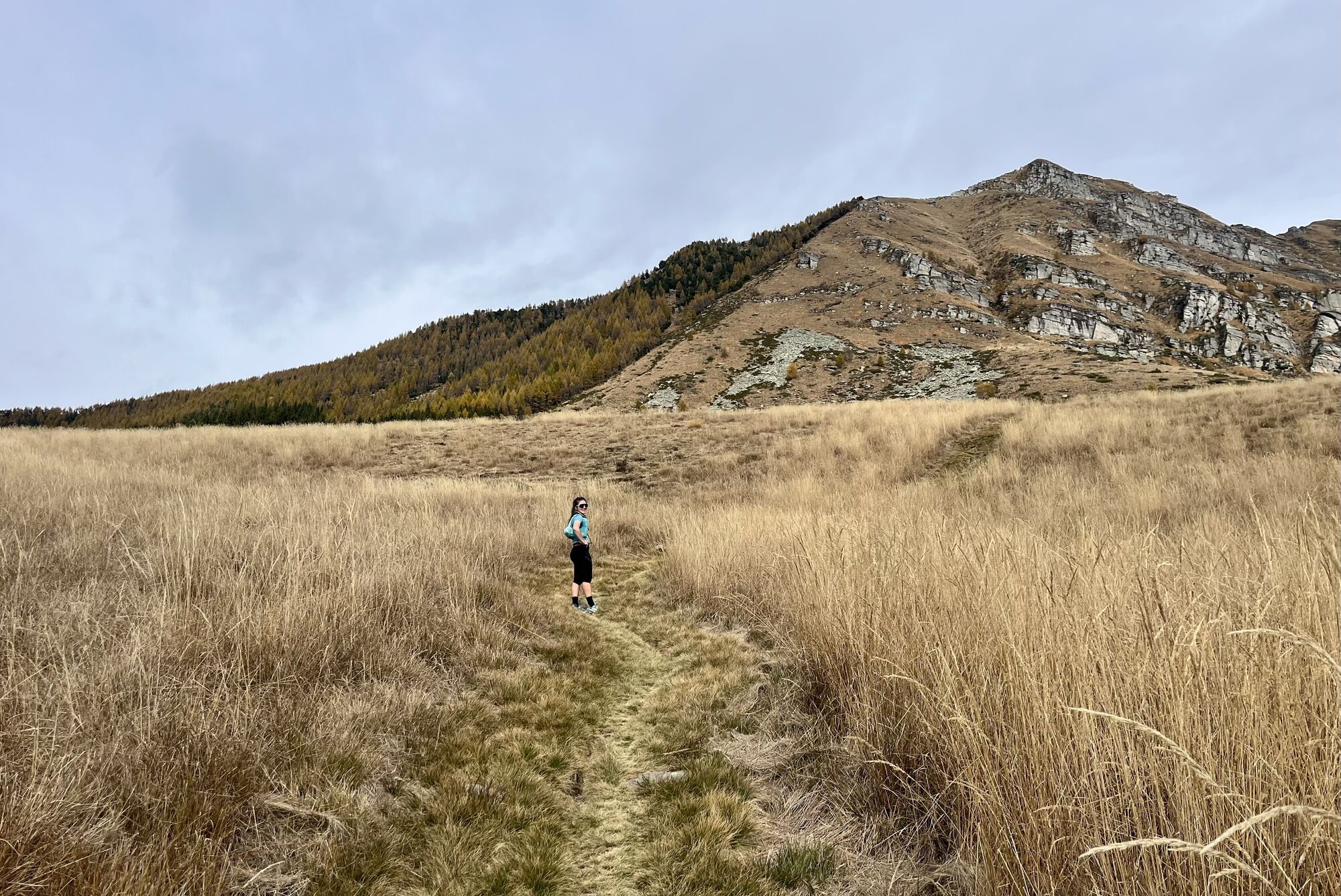
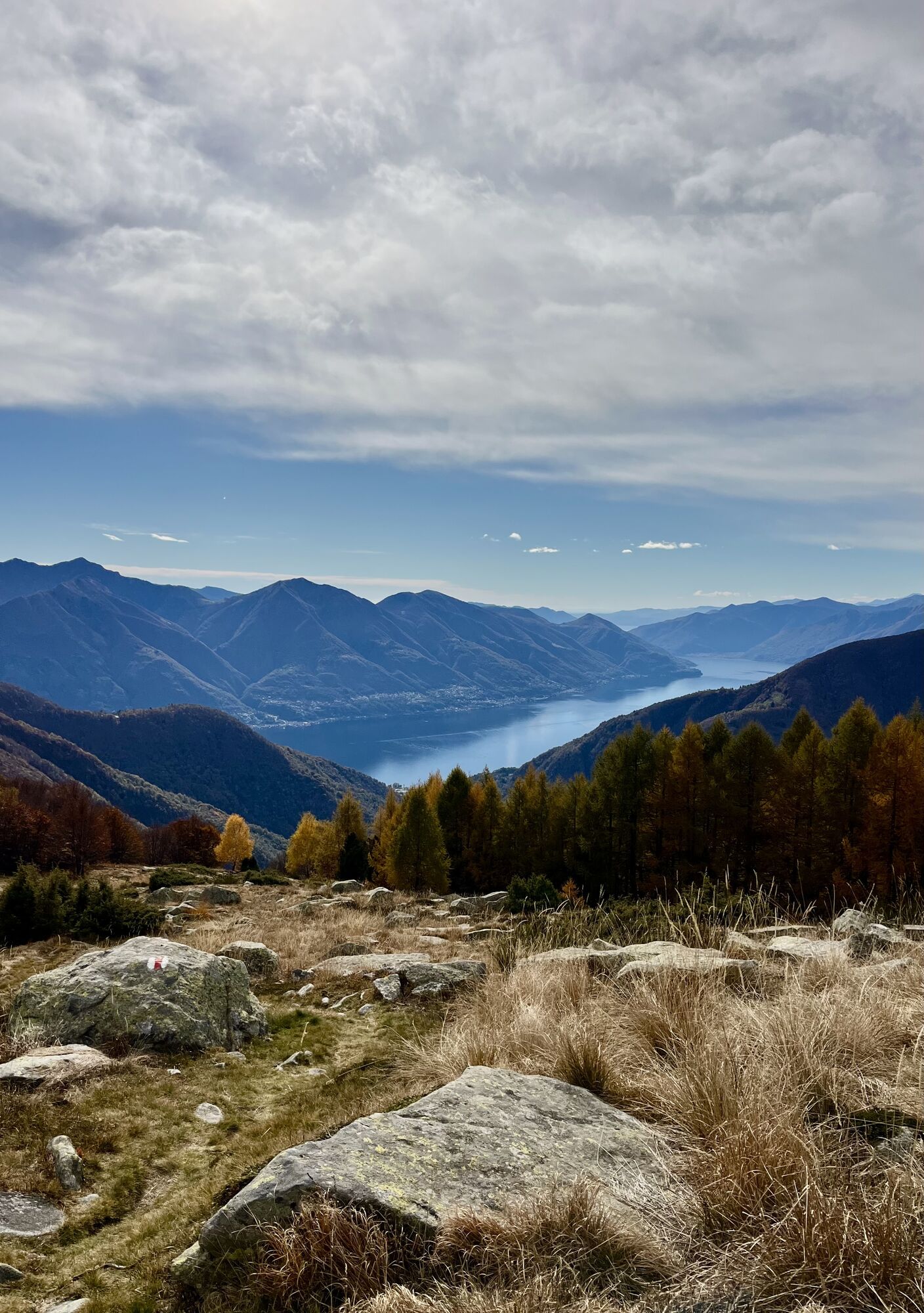
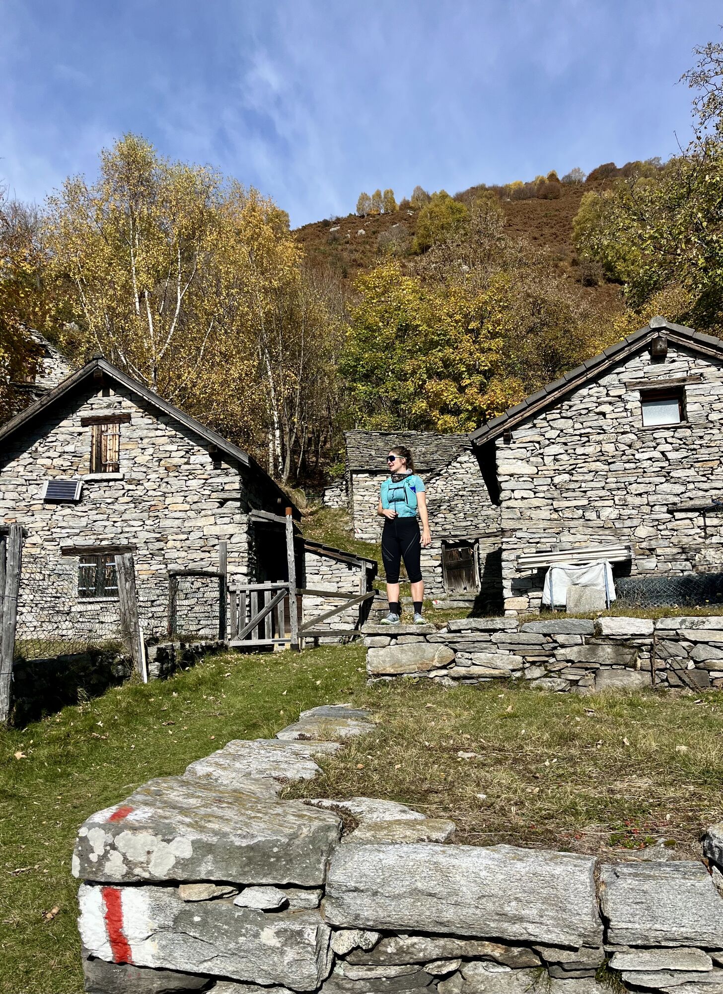
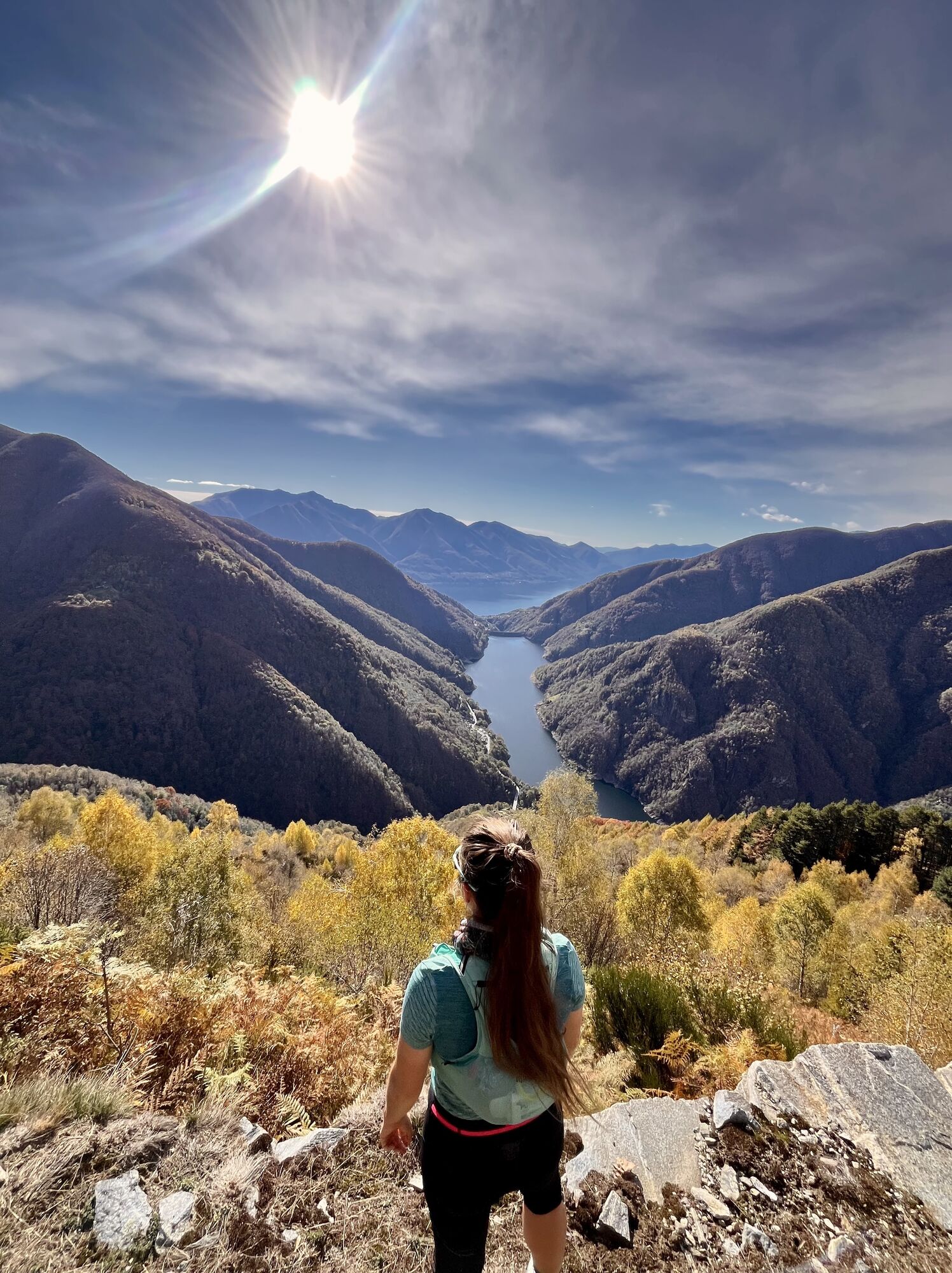
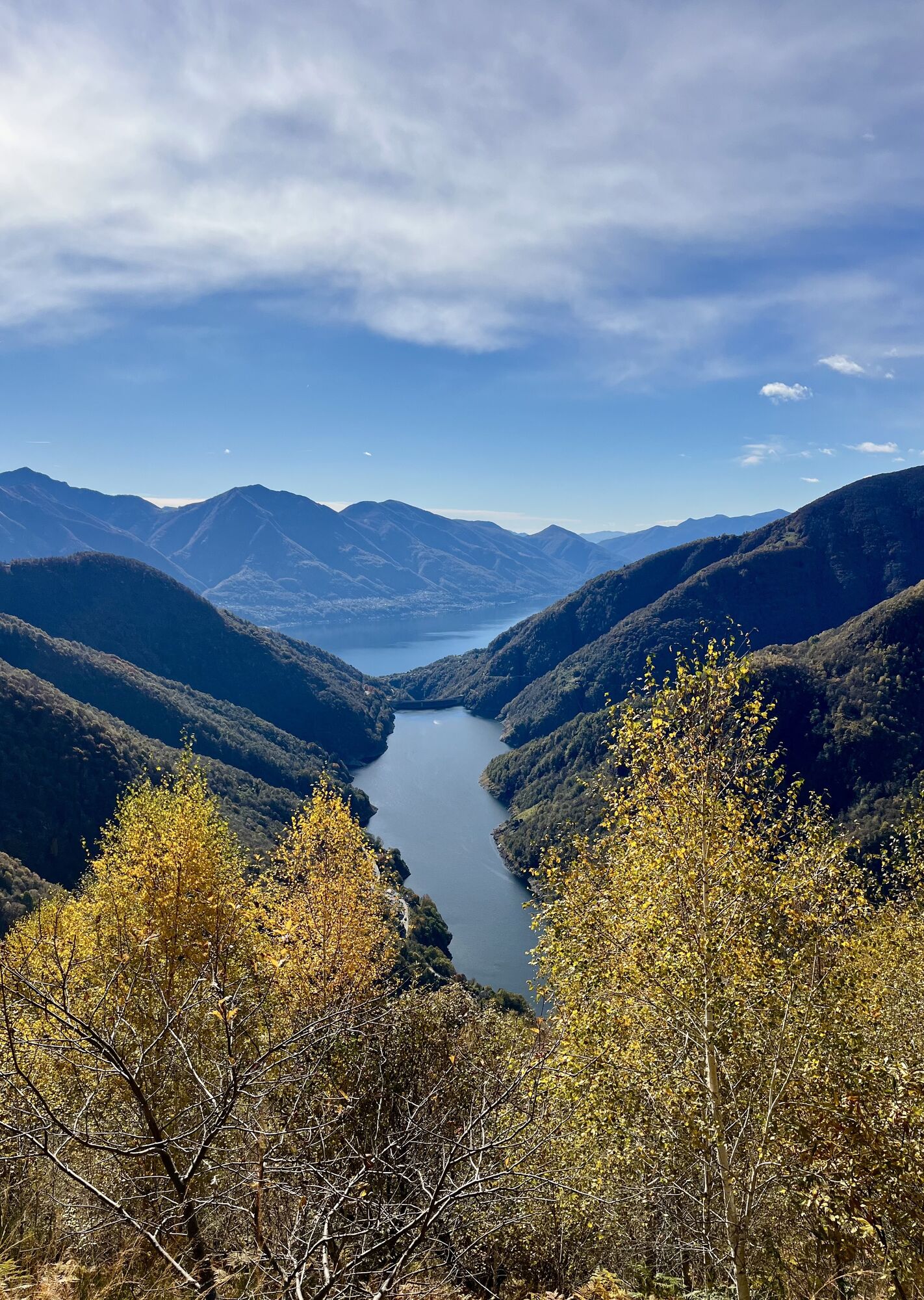
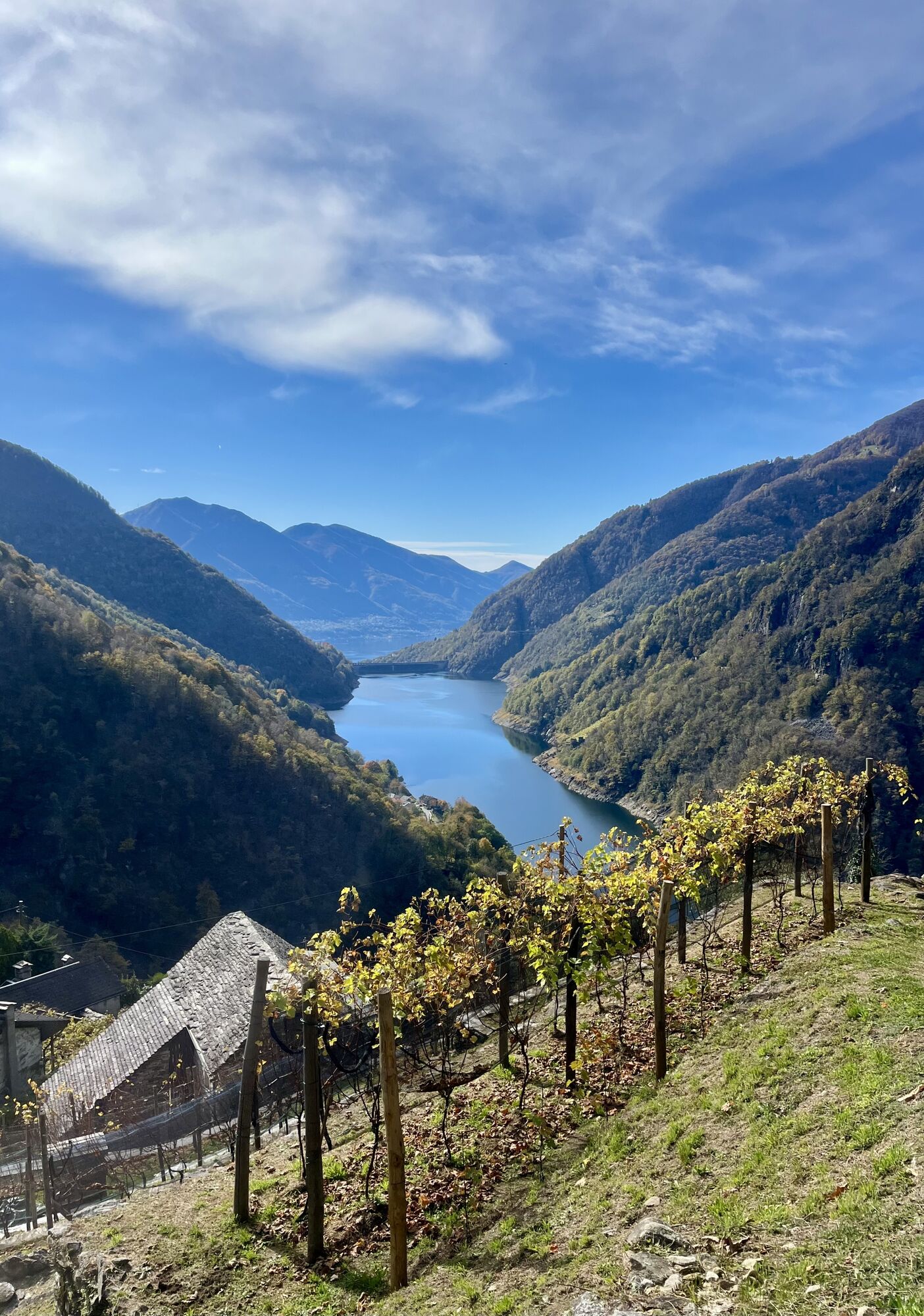
There are fifteen stations that can be visited on the circular route. The path leads steeply from the village of Vogorno up to Odro, past the chapel in Colletta or the long ridge path that separates the...
There are fifteen stations that can be visited on the circular route. The path leads steeply from the village of Vogorno up to Odro, past the chapel in Colletta or the long ridge path that separates the Valle del Molino from the Valle della Porta. In the Maiensäss Odro, wild haymaking was carried out in the past. In the Verzascatal, where the pastures on the valley floor are scarce, the grass areas on the mountain slopes were very valuable. It was a hard and often dangerous job. When the cows and goats did not give milk, they were fed with wild hay, which was of lower quality. The agricultural activity, as is still practiced today in Odro, combined with agritourism, which offers catering and accommodation, makes this Maiensäss an environmentally sustainable tourism model. The highest point of the tour is the Alp Bardughè, a high plateau located at 1600 meters. The way back down to Vogorno leads steeply through beech and chestnut forests, a journey back into the past and at the same time a natural experience.
More information at: Localiti

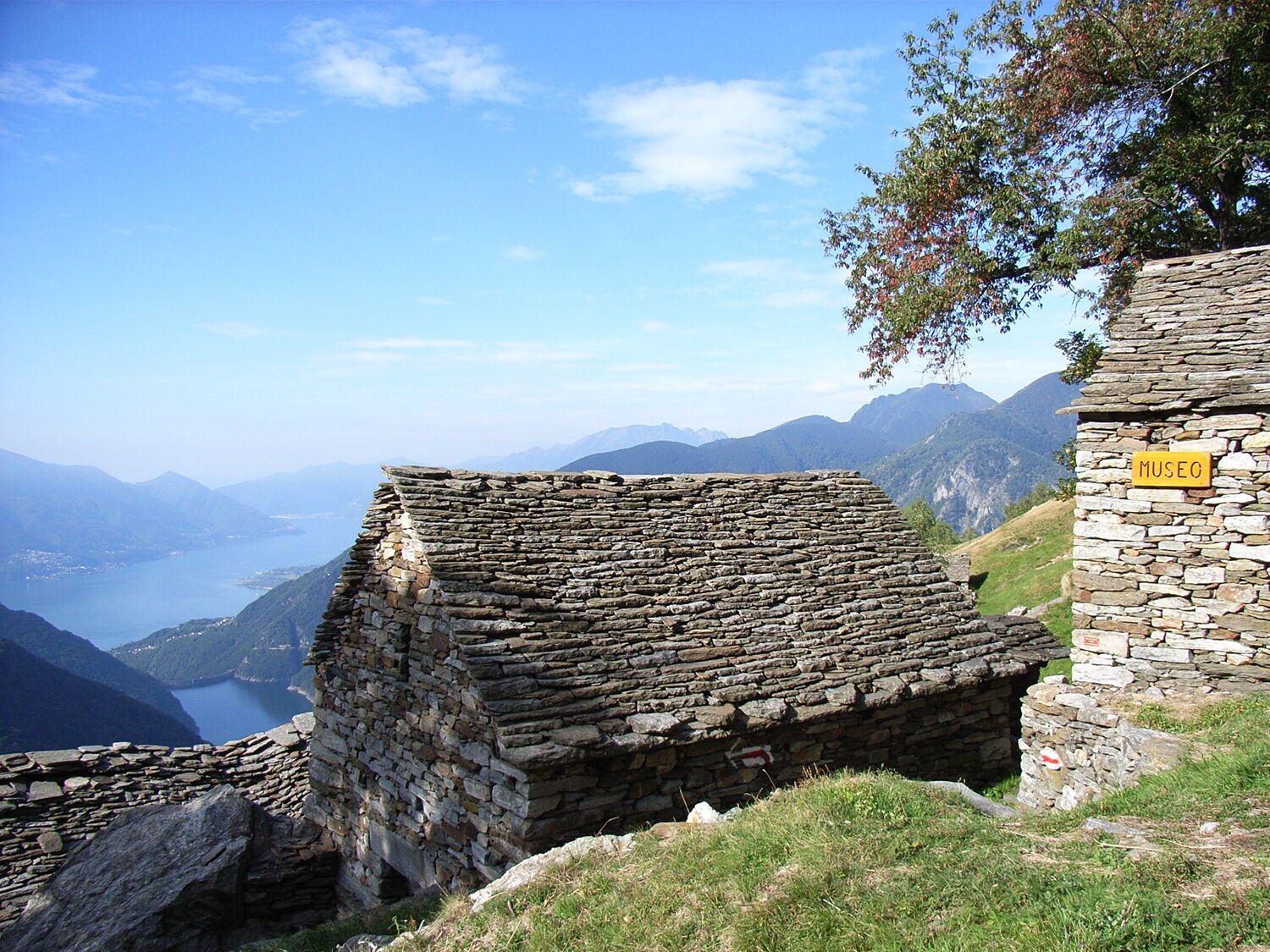
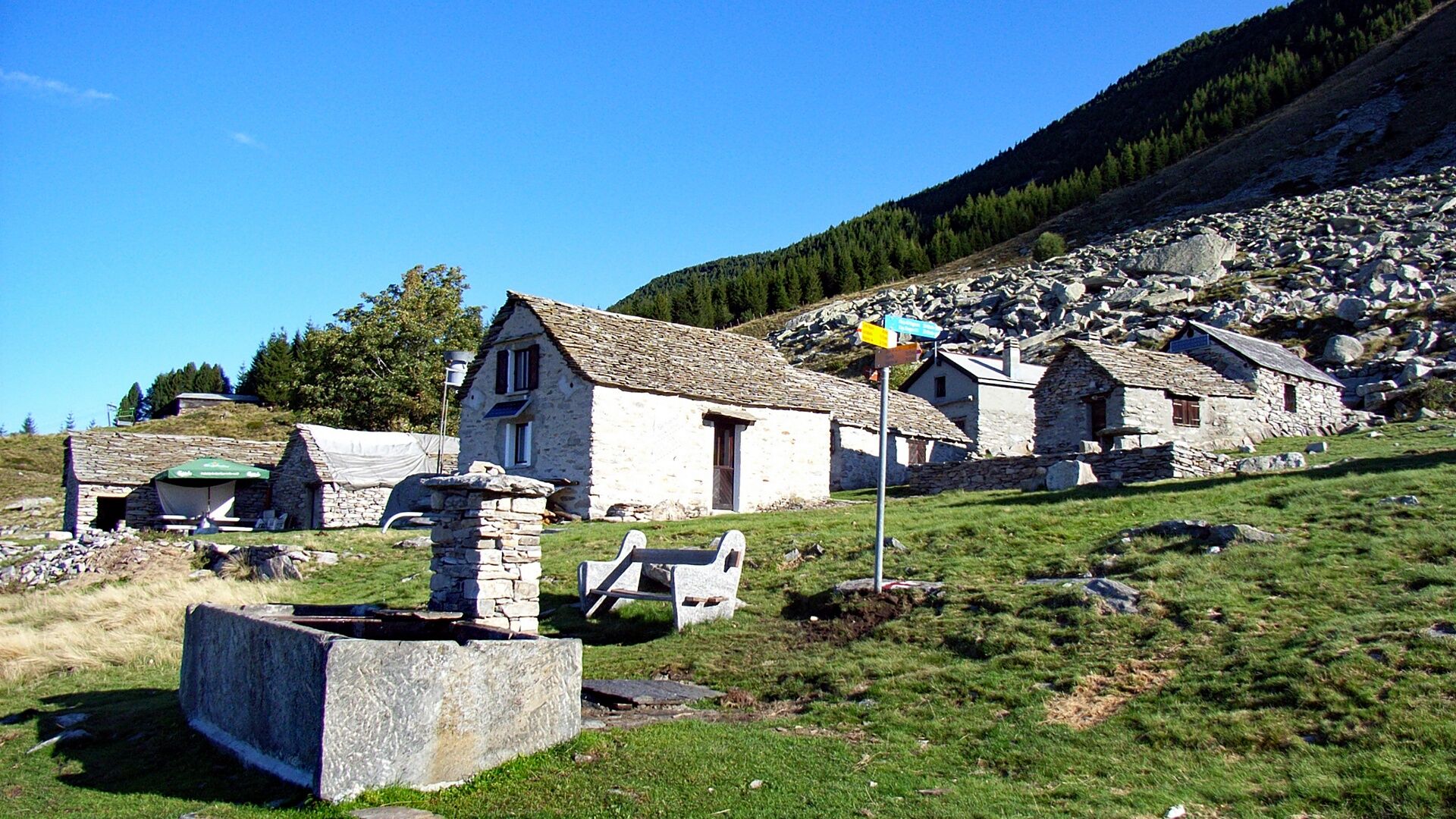
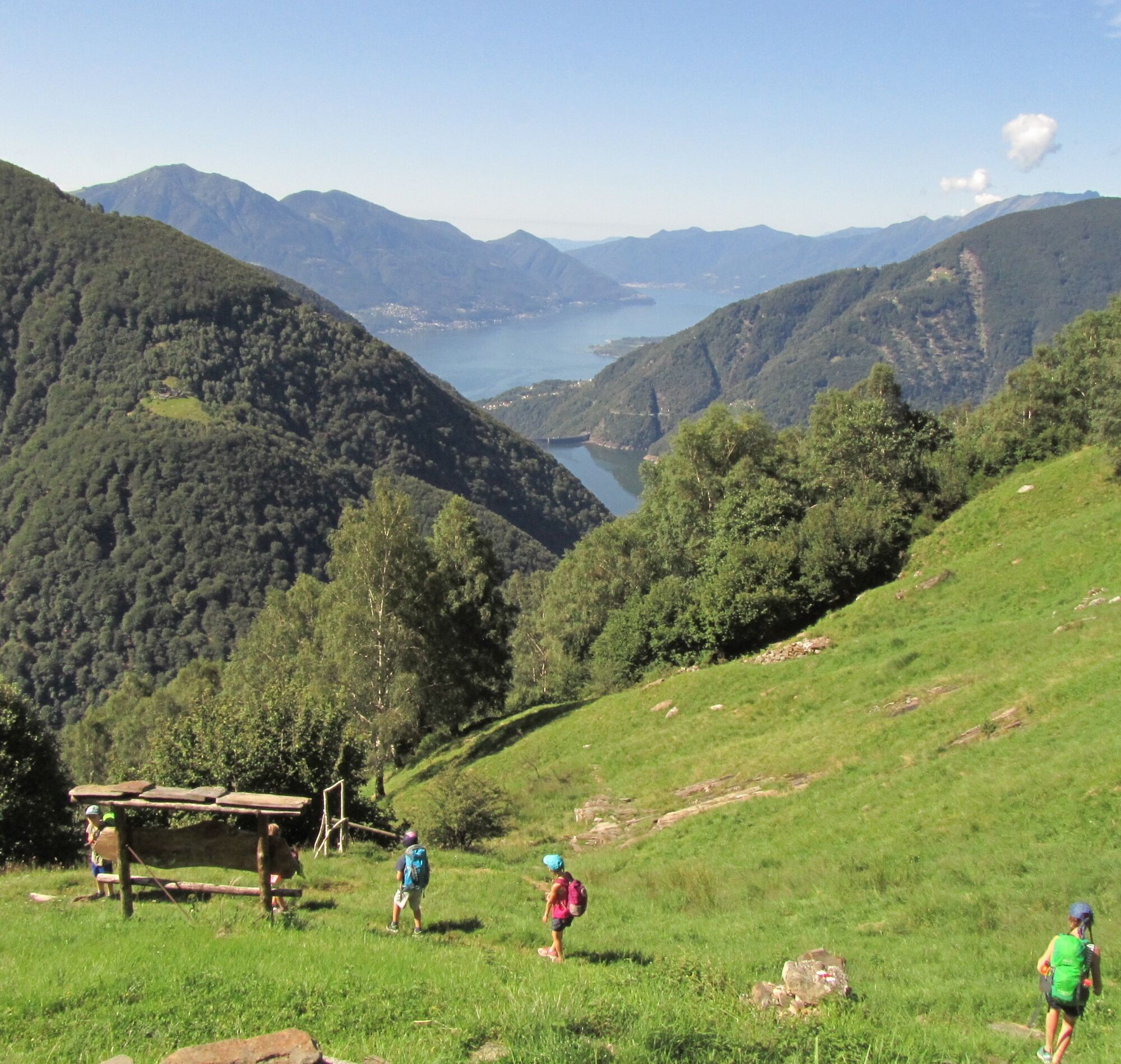
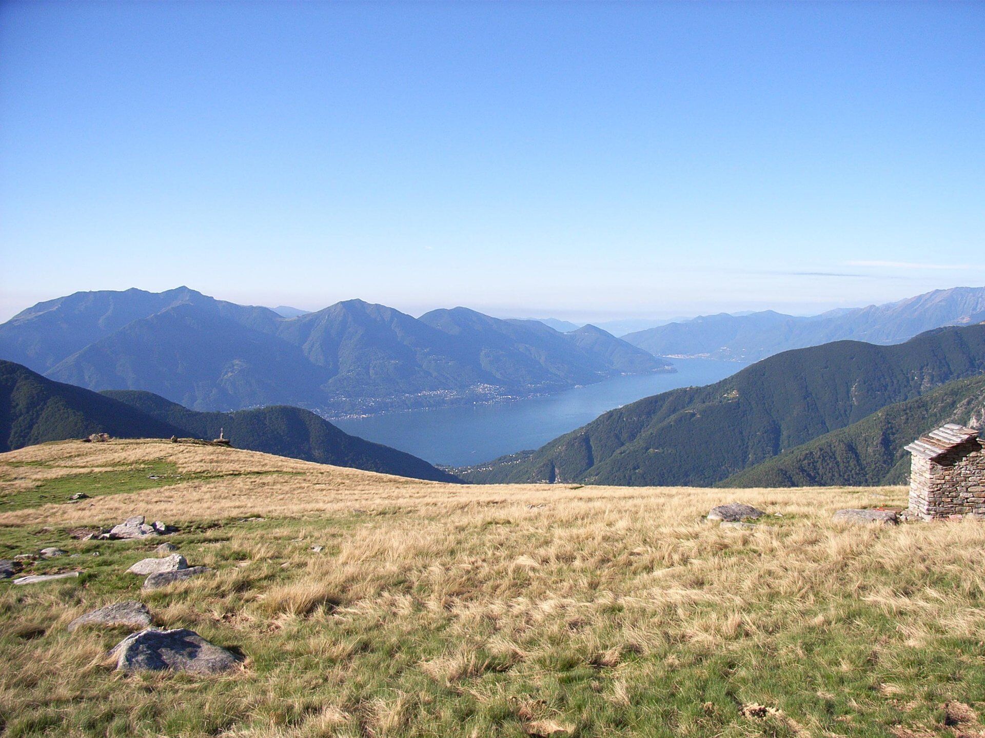

Vogorno-Odro-Bardughè-Corte Nuovo-Costa Piana-Vogorno
Day hiking backpack (approx. 20 liters) with rain cover
Sturdy and comfortable footwear
Weather-appropriate and durable clothing in layers, possibly telescopic poles
Sun and rain protection
Provisions and drinking water
First aid kit
Pocket knife
Mobile phone, possibly headlamp
Map material
T2



Priljubljeni izleti v okolici
-
4.8
Valle del Salto round route (SvizzeraMobile 611)
srednjaPohodništvo 8.84 km -
4.9
Verzasca Dam-Mergoscia-Corippo-Lavertezzo
srednjaPohodništvo 13.0 km -
4.6
Tibetan Bridge route (SwitzerlandMobile 628)
srednjaPohodništvo 9.02 km -
3.3
Entlang der Verzasca von Sonogno via Brione nach Lavertezzo
svetlobaPohodništvo 14.5 km -
4.8
Avegno-Ponte Brolla-Avegno
srednjaPohodništvo 8.56 km -
5.0
Lavertezzo-Brione Verzasca
svetlobaPohodništvo 6.50 km -
4.5
Revöira Ethnographic Trail (SwitzerlandMobile 629)
srednjaPohodništvo 7.97 km -
4.0
Cardada Bike (SwitzerlandMobility 397)
težkoMountainbike 30.6 km -
5.0
Verzasca Dam-Monti di Motti-Verzasca Dam
srednjaPohodništvo 9.31 km -
Cardada-Cimetta-Alpe Vegnasca-Cardada
srednjaPohodništvo 6.86 km
Pohodništvo in sledenje


Ne zamudite ponudb in navdiha za naslednje počitnice
Vaš e-poštni naslov je bil dodan na poštni seznam.





