


The High Hill (Locarno Monti-Contra)
Stopnja težavnosti: T2
Fotografije naših uporabnikov
 © Zengaffinen ErwinUstvarjeno na 30.03.2026
 © Zengaffinen ErwinUstvarjeno na 30.03.2026
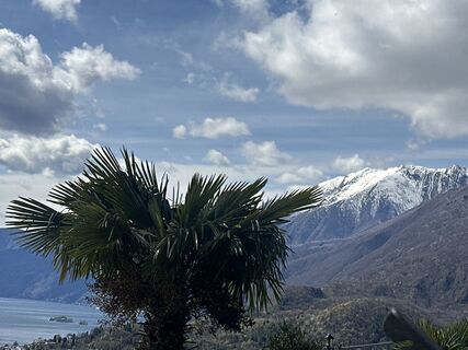 © Zengaffinen ErwinUstvarjeno na 30.03.2026
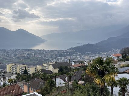
 © Roland SteinfadtUstvarjeno na 13.03.2026
 © Paul AmreinUstvarjeno na 02.10.2025
 © Paul AmreinUstvarjeno na 02.10.2025
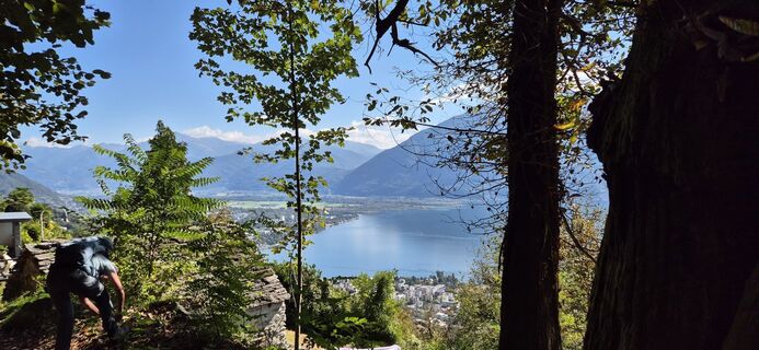 © Paul AmreinUstvarjeno na 02.10.2025
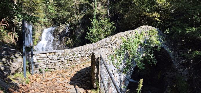 © Paul AmreinUstvarjeno na 02.10.2025
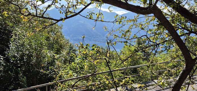 © Paul AmreinUstvarjeno na 02.10.2025
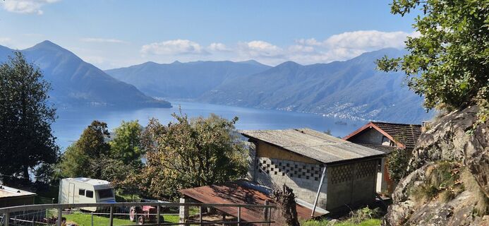 © Paul AmreinUstvarjeno na 02.10.2025
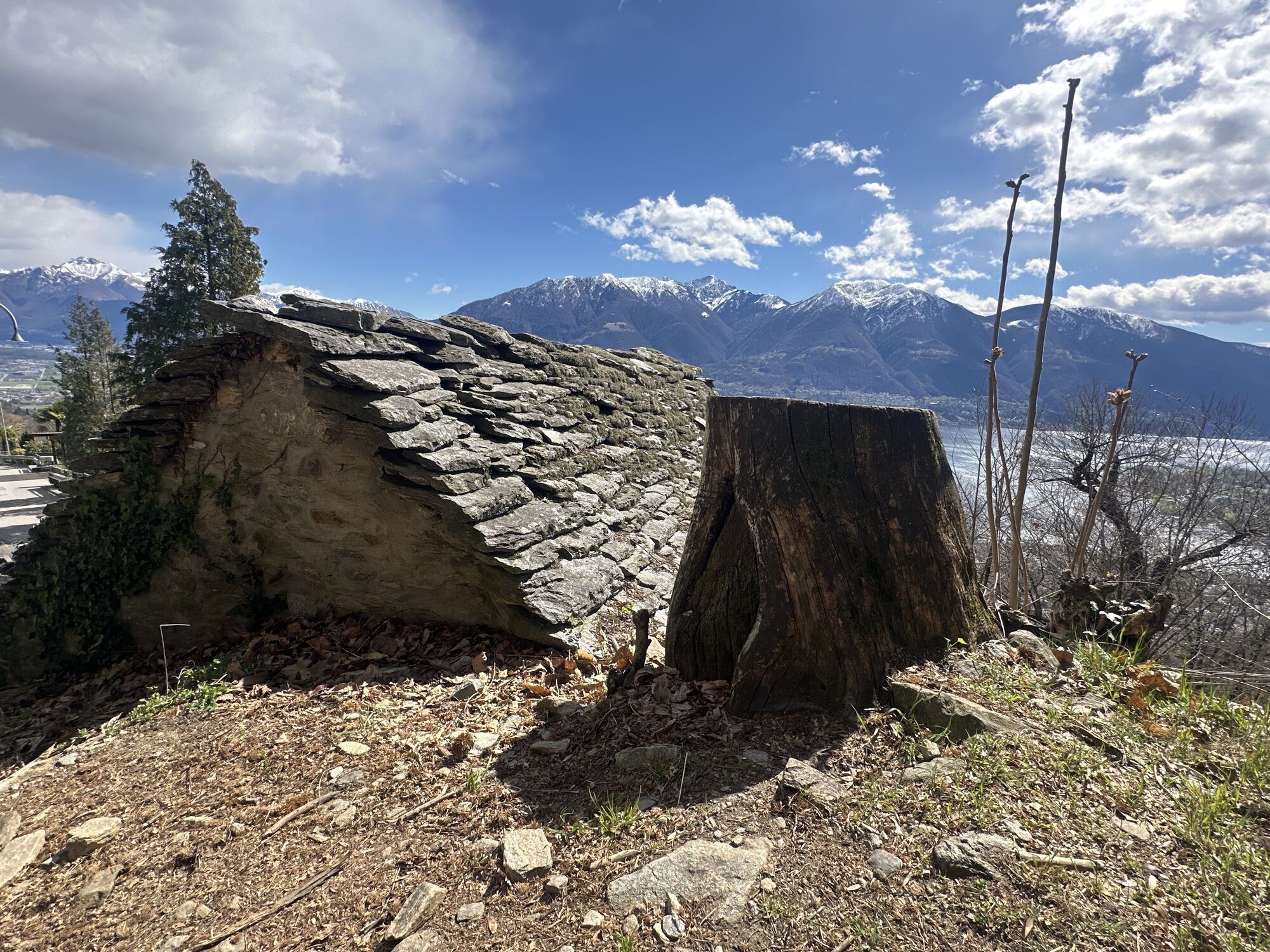
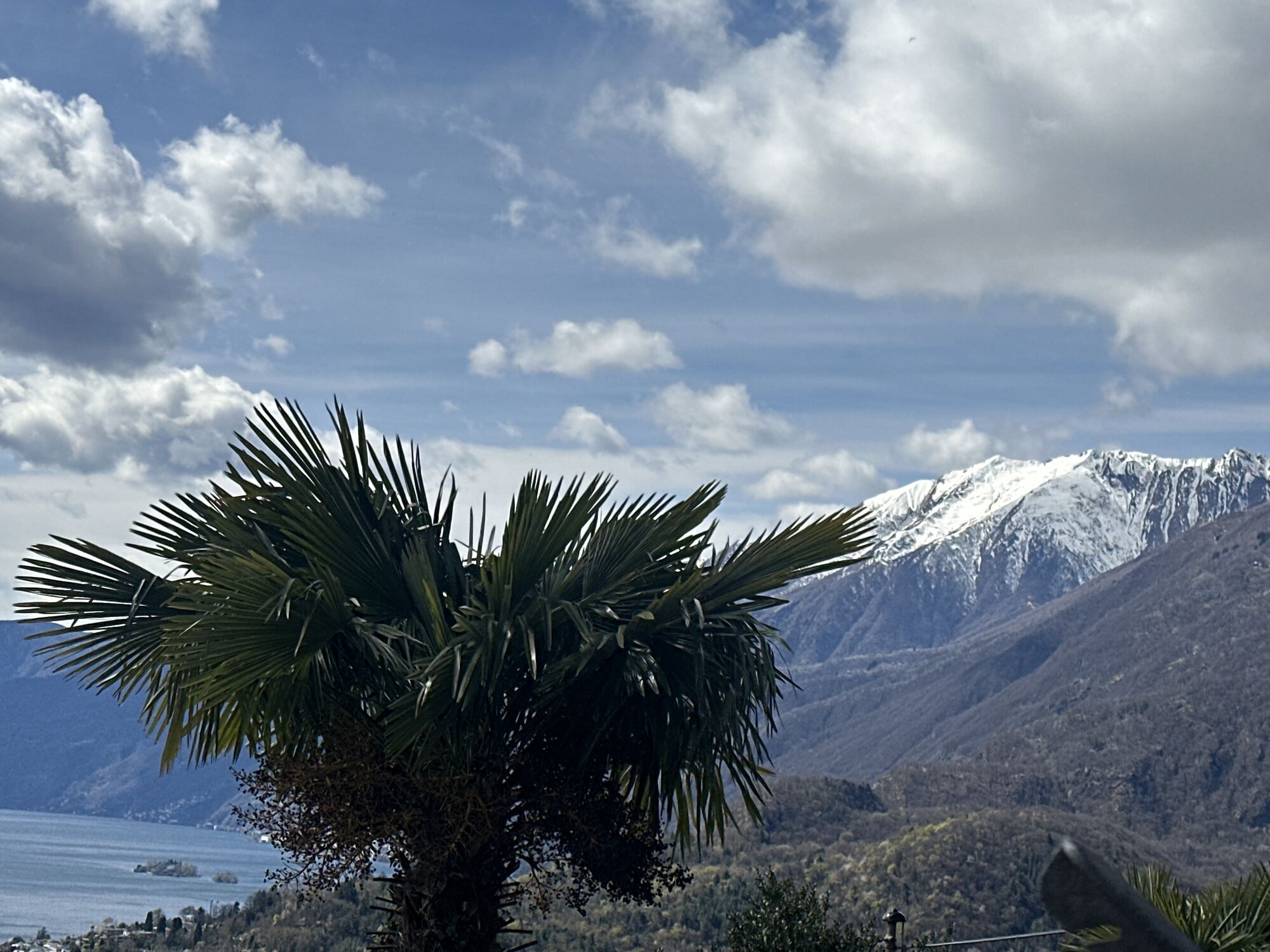

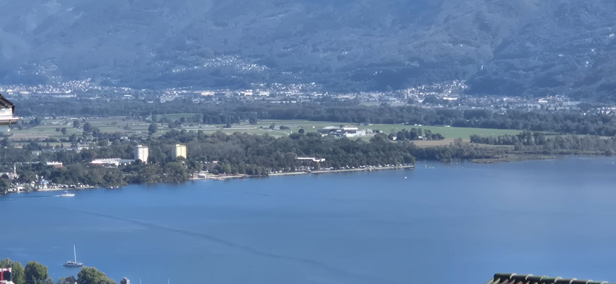
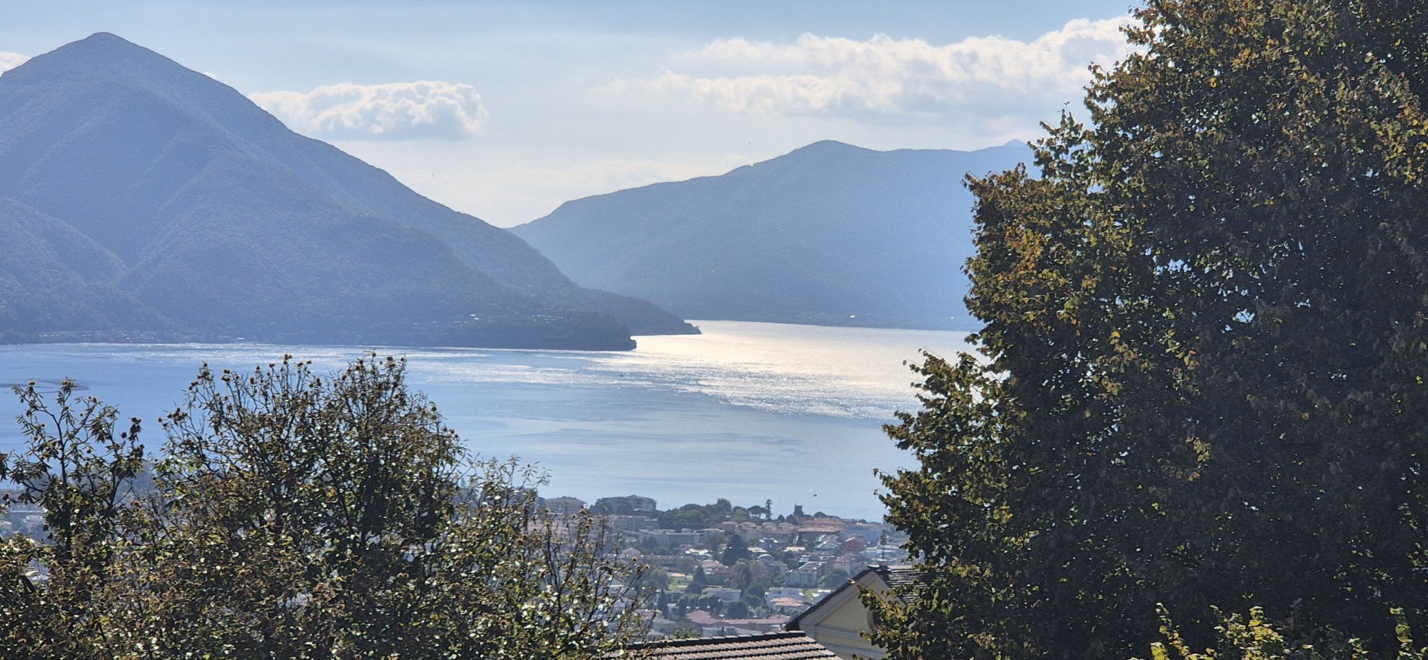
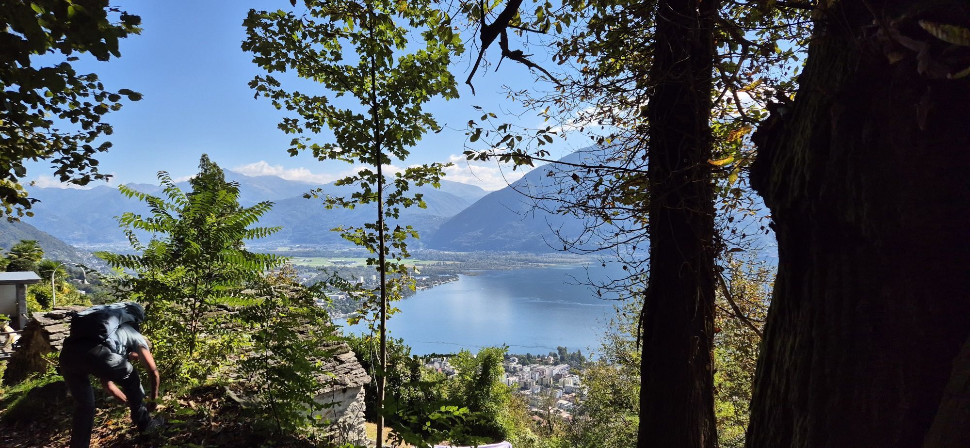
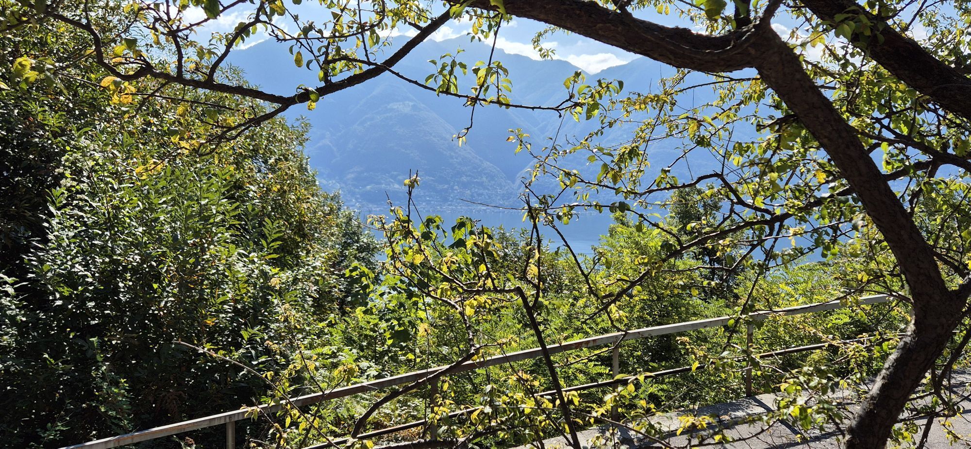

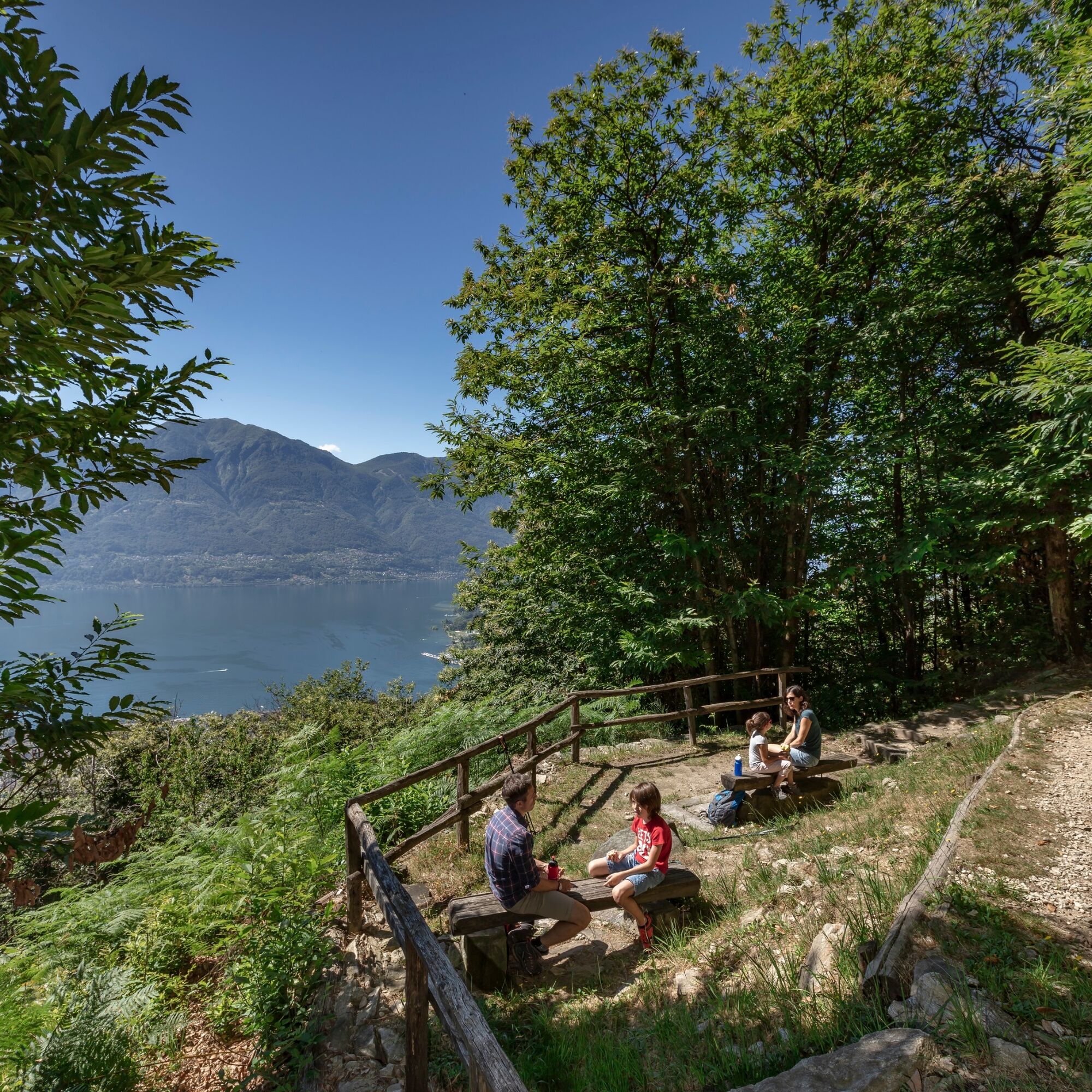
The walk starts at the Piazzetta dei Monti della Trinità, accessible from Locarno by bus or funicular, offering a wide view over the Maggia Delta, as well as Ascona, the Brissago Islands, and part of the...
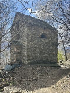
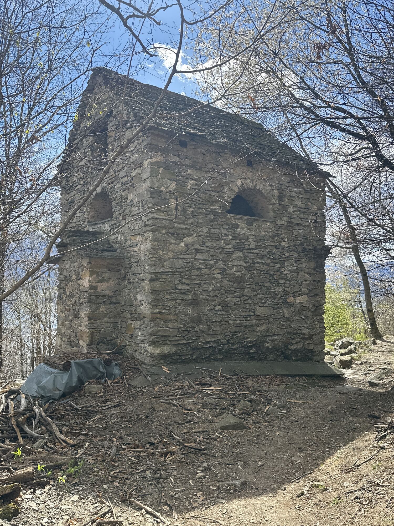
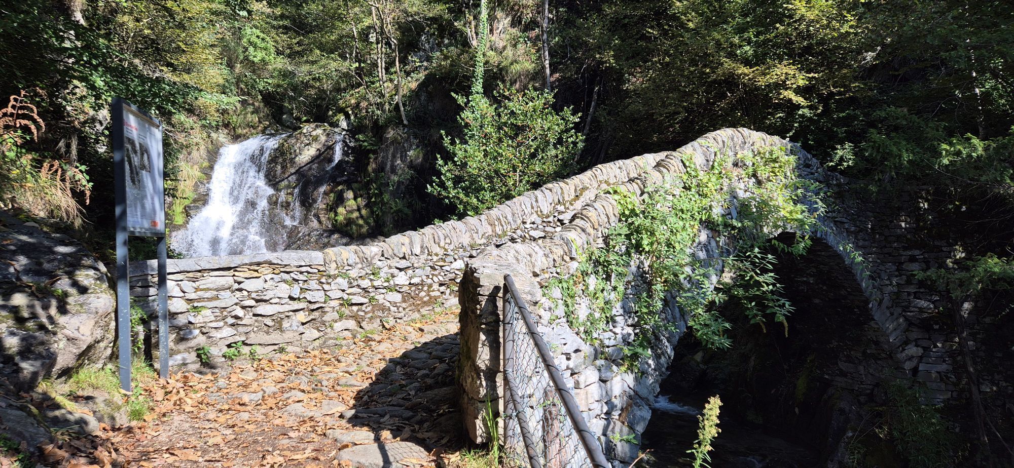
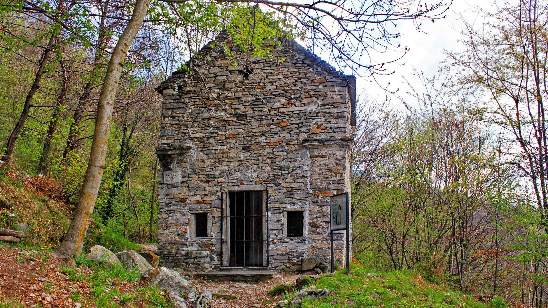
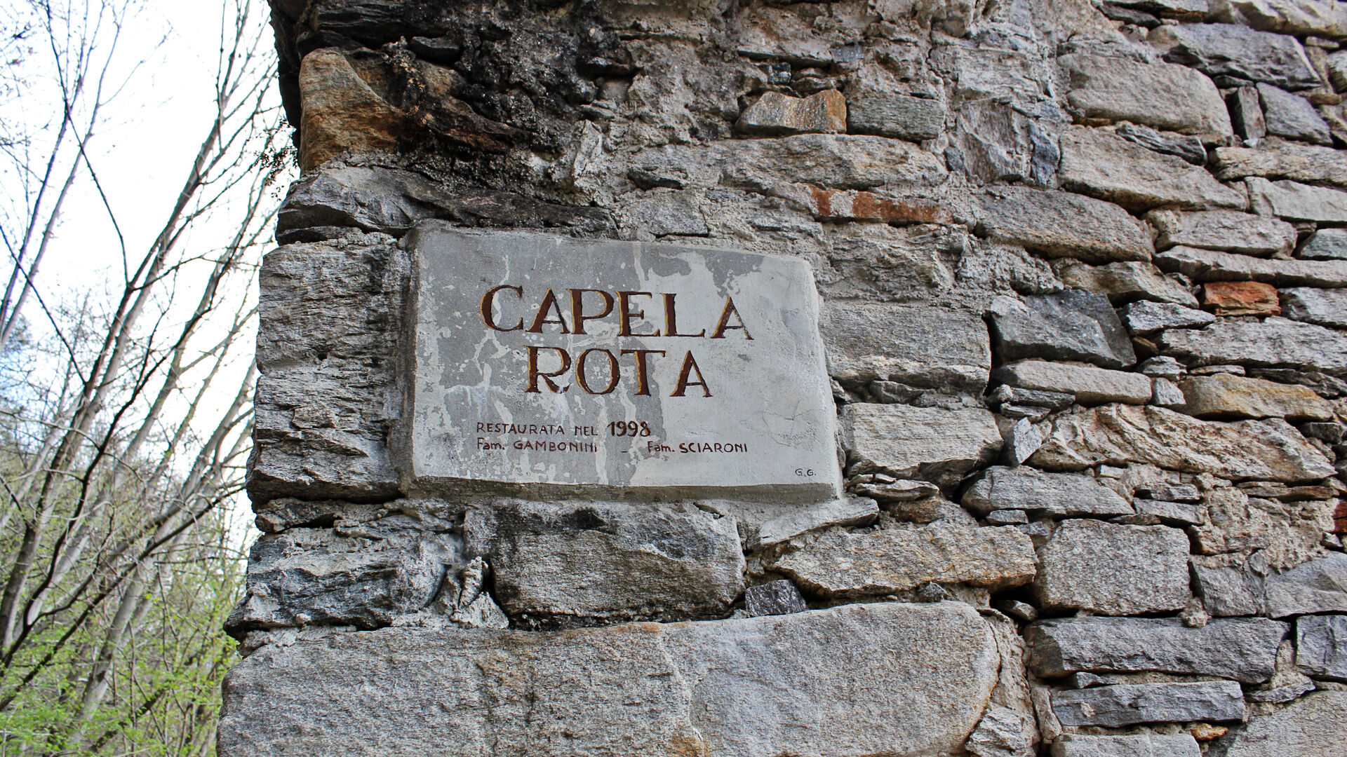
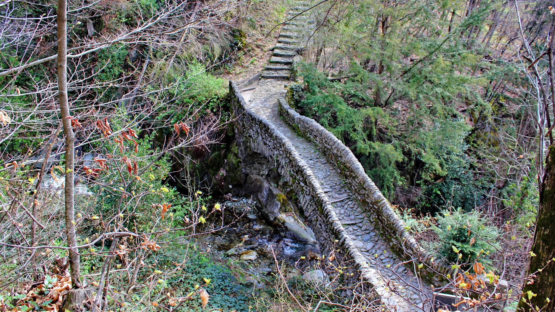
The walk starts at the Piazzetta dei Monti della Trinità, accessible from Locarno by bus or funicular, offering a wide view over the Maggia Delta, as well as Ascona, the Brissago Islands, and part of the Italian lake basin. First, follow the path to Roncaccio, which starts next to the church and reaches Via Patocchi. 50 meters higher, after the Verzaschese Restaurant, turn into a chestnut forest and higher up you'll reach the village of Orselina. After the last houses, yellow signs indicate the path that winds up the mountain - among the trees you can distinguish old pastures. Then you reach Via Selva in the Brione above Minusio area. At the Via Selva fork, take the path that climbs towards Val Resa and cross the picturesque humpback bridge that crosses the Navegna stream. Here is the "Capèla rota", an unfinished chapel built around 1500. Continue towards Val Resa and, along the passable road, you will finally reach the path leading to Contra, the destination of this beautiful hike.

Monti della SS. Trinità–All'Eco–Ronco di Bosco–Lögh del Biàdigh–Cappella Rotta–Contra, Village
Da
Hiking backpack (approx. 20 liters) with rain cover
Sturdy and comfortable shoes
Clothing suitable for weather conditions and durable, layering principle, and optionally trekking poles
Sun and rain protection
Supplies and drinking water
First aid kit
Pocket knife
Mobile phone, optionally headlamp
Map material
Swiss Trails - Safe hikes
T2
Priljubljeni izleti v okolici
- 4,6
Tibetan Bridge route (SwitzerlandMobile 628)
srednjaPohodništvo 9,02 km - 4,8
Verzasca Dam-Mergoscia-Corippo-Lavertezzo
srednjaPohodništvo 13,0 km - 3,3
Entlang der Verzasca von Sonogno via Brione nach Lavertezzo
svetlobaPohodništvo 14,5 km - 4,8
Avegno-Ponte Brolla-Avegno
srednjaPohodništvo 8,56 km - 5,0
Lavertezzo-Brione Verzasca
svetlobaPohodništvo 6,50 km - 5,0
Valle del Salto round route (SvizzeraMobile 611)
srednjaPohodništvo 8,84 km - 4,3
Revöira Ethnographic Trail (SwitzerlandMobile 629)
srednjaPohodništvo 7,97 km - 4,0
Cardada Bike (SwitzerlandMobility 397)
težkoMountainbike 30,6 km - 5,0
Verzasca Dam-Monti di Motti-Verzasca Dam
srednjaPohodništvo 9,31 km Maggia-Someo-Maggia
svetlobaPohodništvo 15,5 km
Pohodništvo in sledenje


Ne zamudite ponudb in navdiha za naslednje počitnice
Vaš e-poštni naslov je bil dodan na poštni seznam.