
Itinerary Blenio–Lukmanier : stage Biasca–Olivone
srednja
Pridobite to turo v svoj mobilni telefon
Itinerary Blenio–Lukmanier : stage Biasca–Olivone
srednja
Kolesarjenje
24.84
km
Skenirajte kodo QR in začnite navigacijo v aplikaciji bergfex.


Pohodništvo in sledenje





Itinerary Blenio–Lukmanier : stage Biasca–Olivone
srednja
Razdalja
24.8
km
Trajanje
02:10
h
Ascent
529
hm
Morska gladina
290 -
892
m
Prenos skladbe
Itinerary Blenio–Lukmanier : stage Biasca–Olivone
srednja
Kolesarjenje
24.84
km
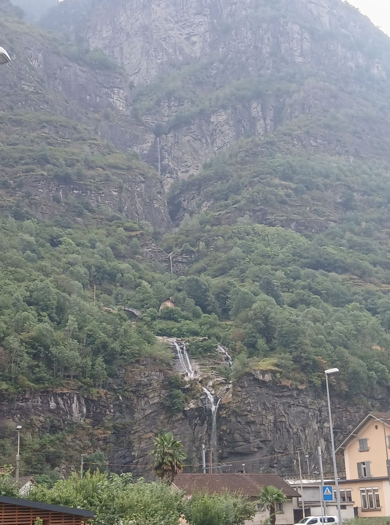


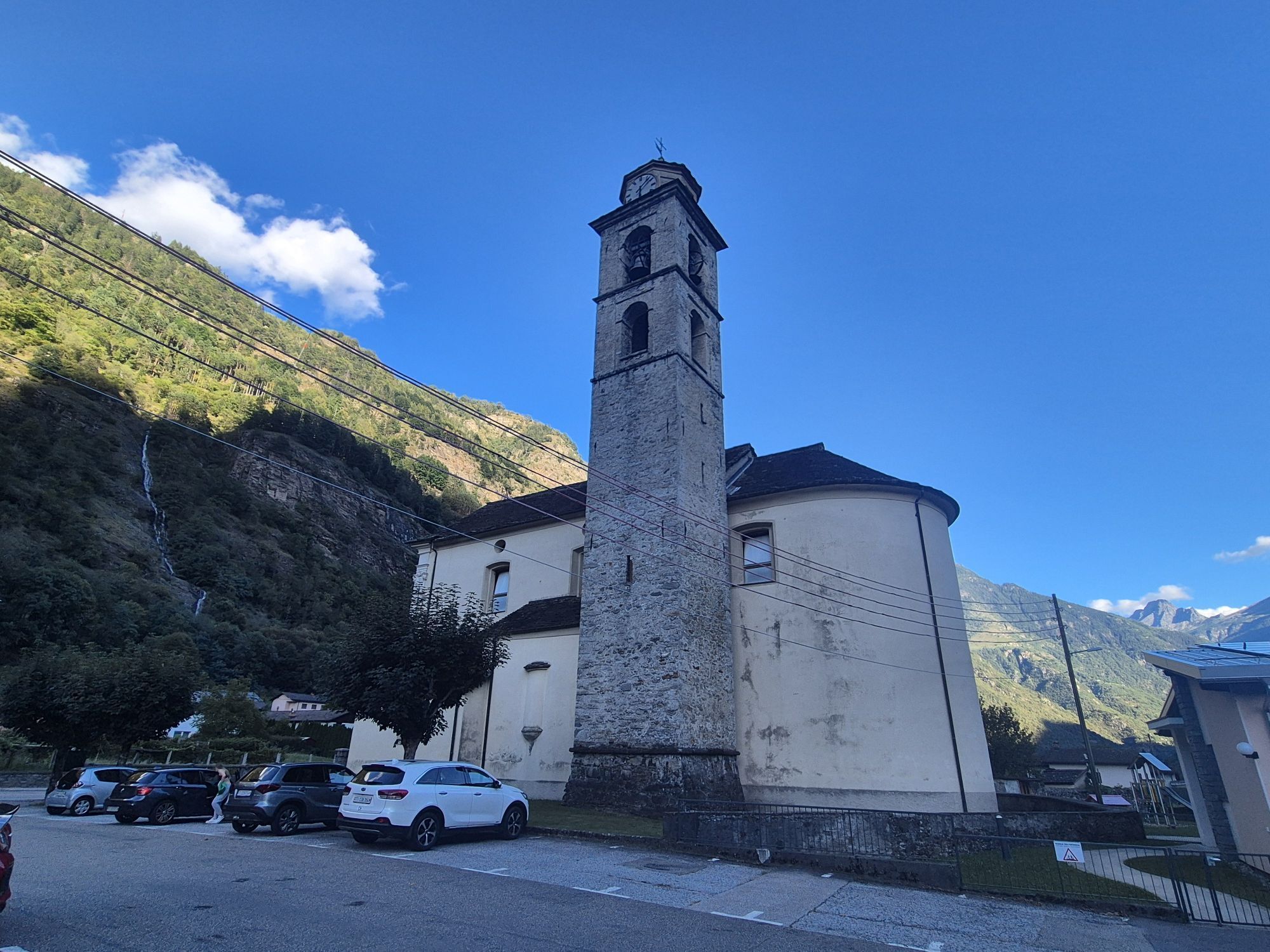
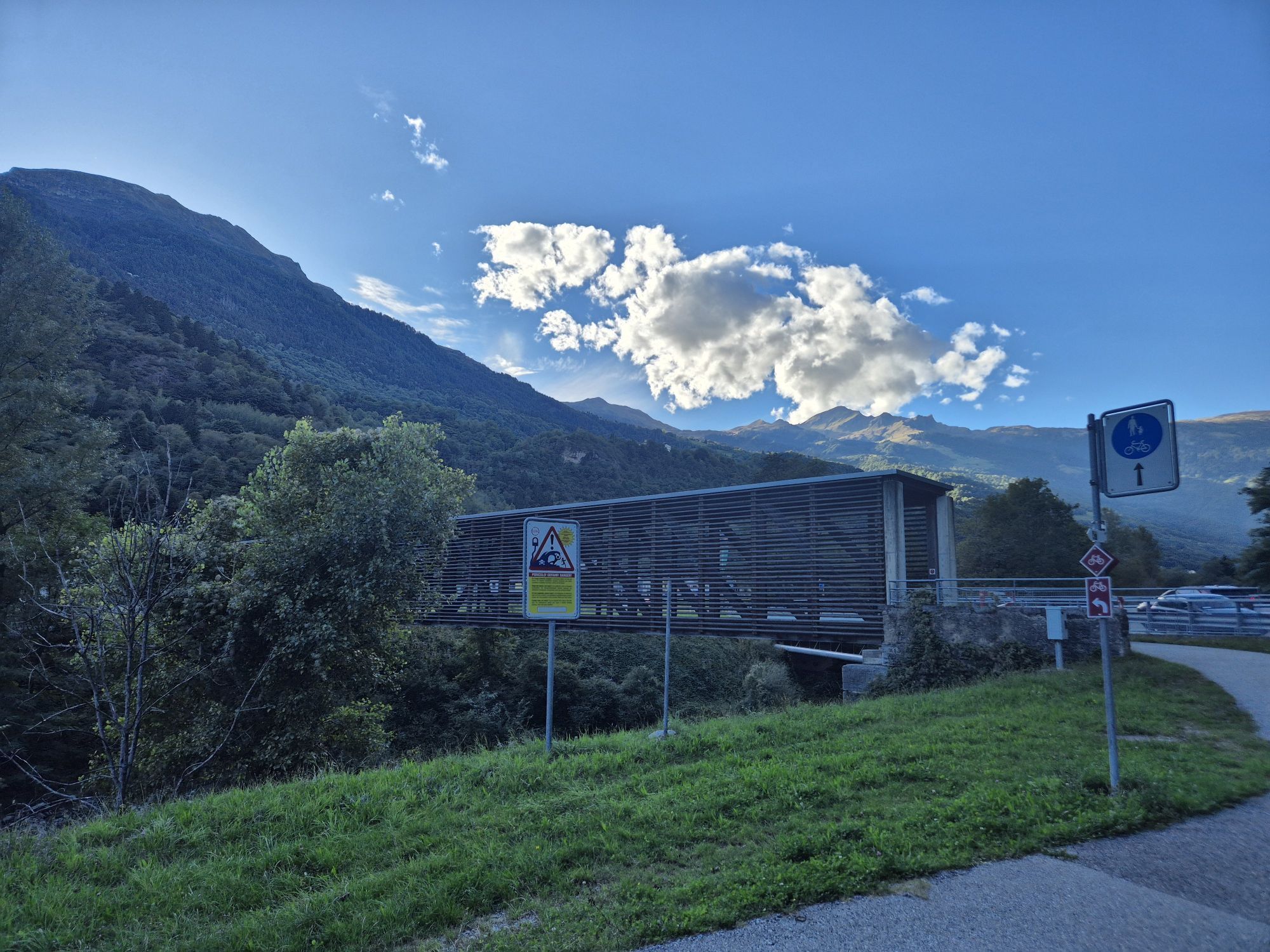
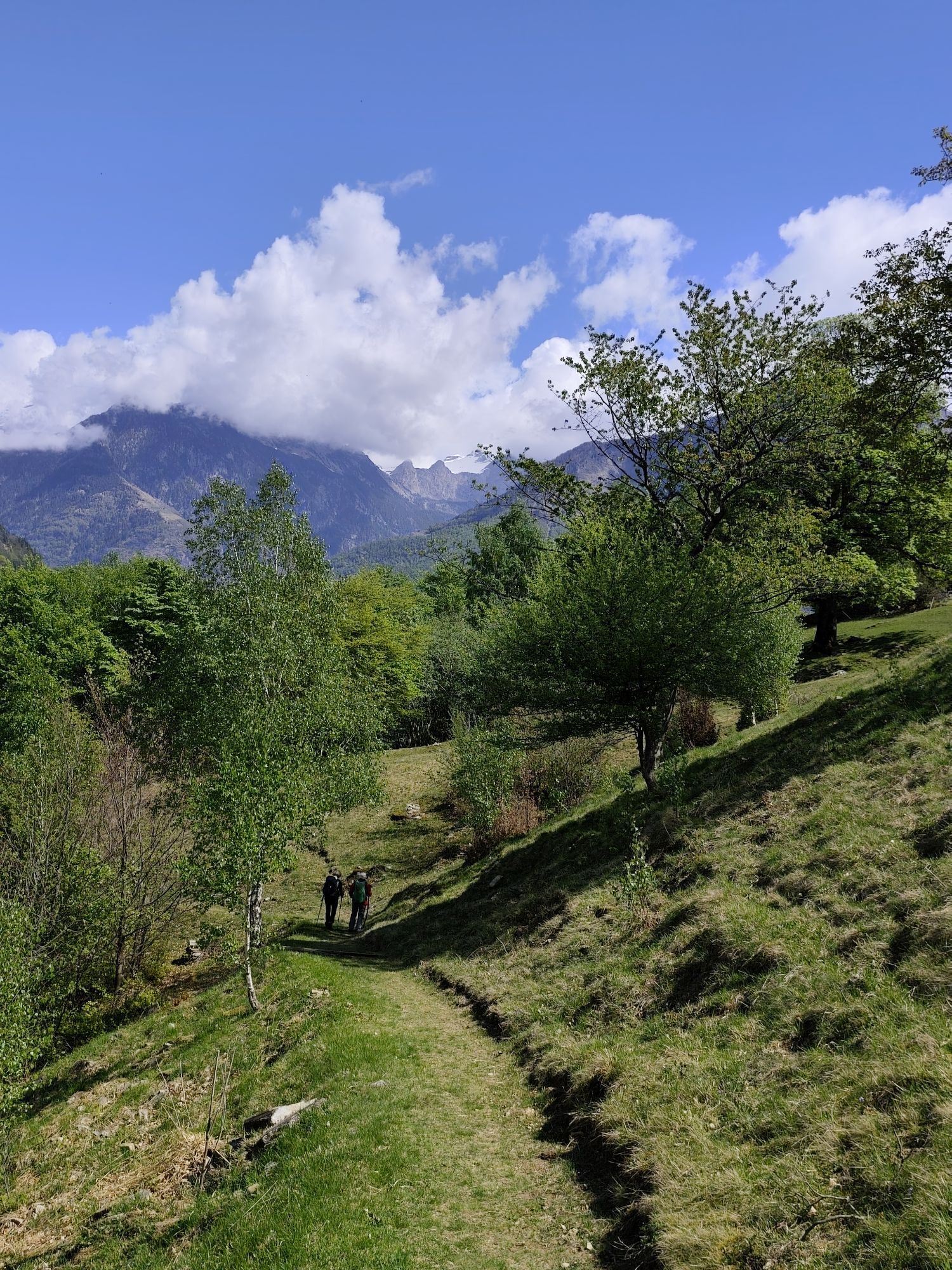
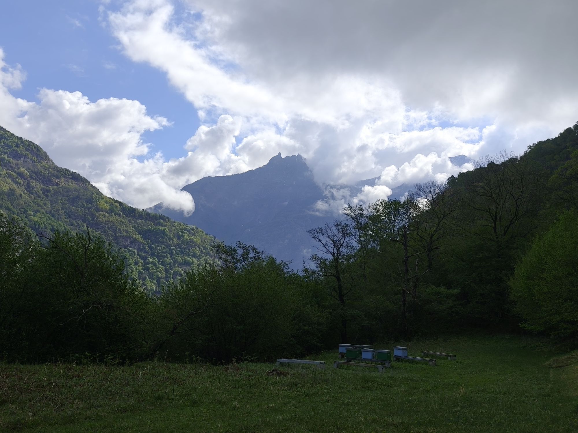
Through the sunny Valle di Blenio up to the Lucomagno Pass, one of the most beautiful mountain pass landscapes in Switzerland. Passing along the artificial lake in the Val Medel, with rhododendrons and...
Opis
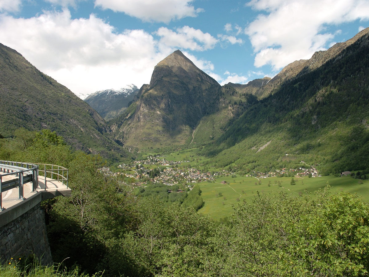
Through the sunny Valle di Blenio up to the Lucomagno Pass, one of the most beautiful mountain pass landscapes in Switzerland. Passing along the artificial lake in the Val Medel, with rhododendrons and the rushing water in the Höllenschlucht gorge, you reach the destination: Disentis.
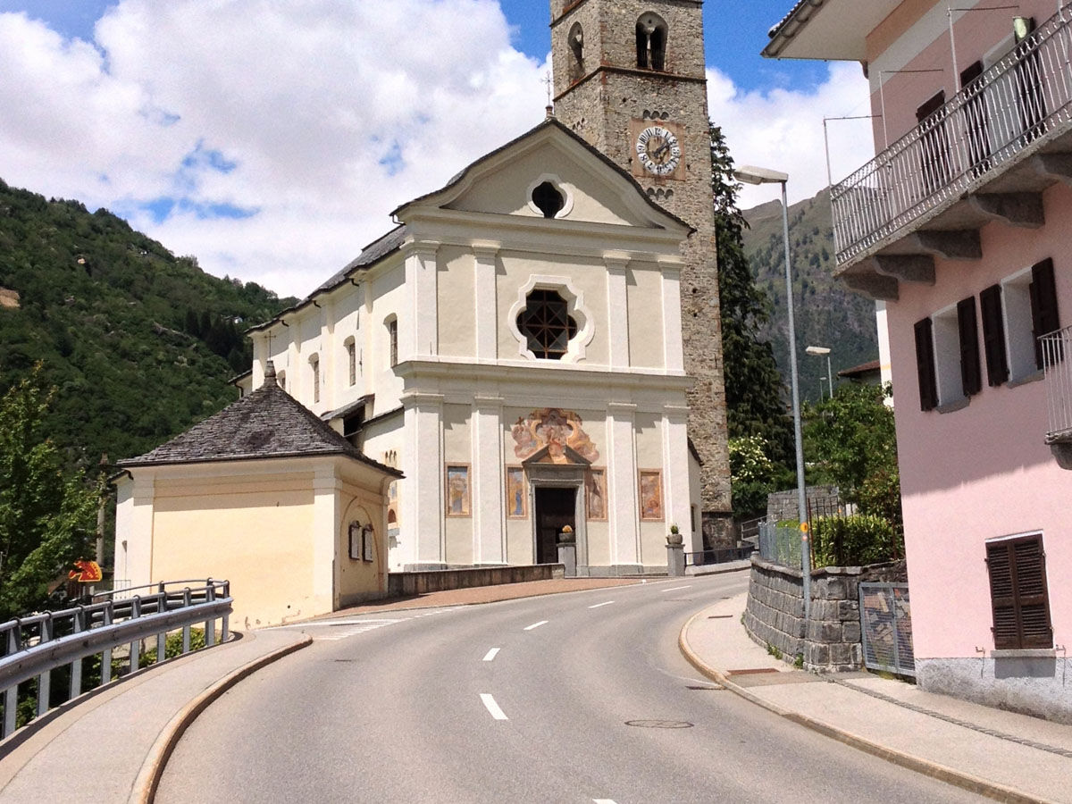
The starting point is Biasca, the center of the Ambrosian valleys Leventina, Riviera and Blenio. On the lower slopes of the Brenno valley extend wide chestnut forests; chestnuts, once considered a "poor man’s fruit," are often left on the ground today. In the Serravalle castle, before Ludiano, Emperor Barbarossa stopped; the ruins still testify to his power. In the sunlit valley, agriculture is practiced on terraces. High up, isolated on an alpine pasture, stands one of the most impressive Romanesque buildings in Ticino, San Carlo di Negrentino, with its magnificent frescoes. Butterflies accompany us during the ascent while the landscape changes; in the quiet alpine valley Santa Maria the fir trees smell of resin and the tinkling of cowbells follows us up to the Lucomagno Pass.
After crossing the Lucomagno Pass, we follow the artificial lake in Val Medel, where fragrant rhododendrons, dark wooden houses and the rush of water in the Höllenschlucht gorge accompany us to Disentis.
The starting point is Biasca, the center of the Ambrosian valleys Leventina, Riviera and Blenio. On the lower slopes of the Brenno valley extend wide chestnut forests; chestnuts, once considered a "poor man’s fruit," are often left on the ground today. In the Serravalle castle, before Ludiano, Emperor Barbarossa stopped; the ruins still testify to his power. In the sunlit valley, agriculture is practiced on terraces. High up, isolated on an alpine pasture, stands one of the most impressive Romanesque buildings in Ticino, San Carlo di Negrentino, with its magnificent frescoes. Butterflies accompany us during the ascent while the landscape changes; in the quiet alpine valley Santa Maria the fir trees smell of resin and the tinkling of cowbells follows us up to the Lucomagno Pass.
After crossing the Lucomagno Pass, we follow the artificial lake in Val Medel, where fragrant rhododendrons, dark wooden houses and the rush of water in the Höllenschlucht gorge accompany us to Disentis.
Blenio - Lucomagno route - Discover the complete route
Pot
Biasca
(301 m)
Vas
1.2 km
Chiesa di Santa Maria Assunta
(396 m)
Kraj čaščenja
6.9 km
Chiesa di Santa Maria Nascente
(440 m)
Kraj čaščenja
9.5 km
Boscero
(489 m)
Poravnava
12.1 km
Chiesa di San Giorgio
(625 m)
Kraj čaščenja
15.6 km
Oratorio di Sant'Antonio da Padova
(650 m)
Kraj čaščenja
16.1 km
Oratorio di San Francesco Saverio
(719 m)
Kraj čaščenja
18.3 km
Pot
Itinerary Blenio–Lukmanier : stage Biasca–Olivone
srednja
Kolesarjenje
24.84
km
Biasca
(293 m)
Železniška postaja
0.0 km
Nazionale
(292 m)
Restavracija
0.0 km
Lucomagno
(292 m)
Restavracija
0.1 km
Biasca
(301 m)
Vas
1.2 km
Piazzora
(320 m)
Poravnava
1.7 km
Loderio
(359 m)
Poravnava
4.0 km
Rampeda
(455 m)
Poravnava
4.2 km
Ca d Iö
(458 m)
Soseska
6.8 km
Chiesa di Santa Maria Assunta
(396 m)
Kraj čaščenja
6.9 km
Al Borgo
(405 m)
Soseska
6.9 km
Semione
(399 m)
Vas
7.0 km
Capèla da Cuscnich
(412 m)
Kraj čaščenja
7.4 km
Ludiano
(477 m)
Vas
8.2 km
Chiesa di San Secondo
(473 m)
Kraj čaščenja
8.5 km
Chiesa di San Pietro
(447 m)
Kraj čaščenja
9.2 km
Chiesa di Santa Maria Nascente
(440 m)
Kraj čaščenja
9.5 km
Motto (Blenio)
(443 m)
Poravnava
9.5 km
Marogno
(454 m)
Poravnava
9.8 km
Chiesa dei Santi Luca e Fiorenzo
(469 m)
Kraj čaščenja
11.0 km
Crespögn
(480 m)
Soseska
11.3 km
Dongio
(478 m)
Poravnava
11.6 km
Boscero
(489 m)
Poravnava
12.1 km
Roccabella
(499 m)
Poravnava
12.4 km
Scaradra
(514 m)
Poravnava
12.5 km
Pozzo
(533 m)
Poravnava
12.9 km
Stallaccia
(524 m)
Poravnava
13.2 km
Acquarossa
(430 m)
Vas
13.5 km
Stazione
(536 m)
Restavracija
13.7 km
Cará Comprovasco
(545 m)
Soseska
13.7 km
Comprovasco
(537 m)
Poravnava
13.7 km
Chiesa dei Santi Giacomo, Bartolomeo e Vincenzo di Paola
(553 m)
Kraj čaščenja
13.9 km
Prugiasco
(621 m)
Vas
14.9 km
Chiesa parrocchiale di Sant'Ambrogio
(629 m)
Kraj čaščenja
14.9 km
Chiesa di San Giorgio
(625 m)
Kraj čaščenja
15.6 km
Castro
(641 m)
Vas
16.0 km
Oratorio di Sant'Antonio da Padova
(650 m)
Kraj čaščenja
16.1 km
Oratorio di Santa Maria Maddalena
(697 m)
Kraj čaščenja
17.5 km
Cappella di Sant'Anna
(713 m)
Kraj čaščenja
17.6 km
Ponto Valentino
(716 m)
Vas
17.7 km
Osteria del Ponte
(718 m)
Restavracija
18.0 km
Chiesa di San Martino
(719 m)
Kraj čaščenja
18.1 km
Oratorio di San Francesco Saverio
(719 m)
Kraj čaščenja
18.3 km
Grumarone
(752 m)
Soseska
20.7 km
Ristorante Centrale
(777 m)
Restavracija
21.1 km
Chiesa parrocchiale di San Vittore Mauro
(787 m)
Kraj čaščenja
21.3 km
Aquila
(779 m)
Vas
21.3 km
Olivone
(900 m)
Vas
24.7 km
Avtor
Zagotavlja Bellinzona e Valli Turismo
Za ogled Itinerary Blenio–Lukmanier : stage Biasca–Olivone poskrbi outdooractive.com.


Varnostna navodila
This route runs on roads open to motorized traffic, obey the traffic rules: www.prudenza-precedenza.ch
Dodatne informacije in nasveti
Nasveti
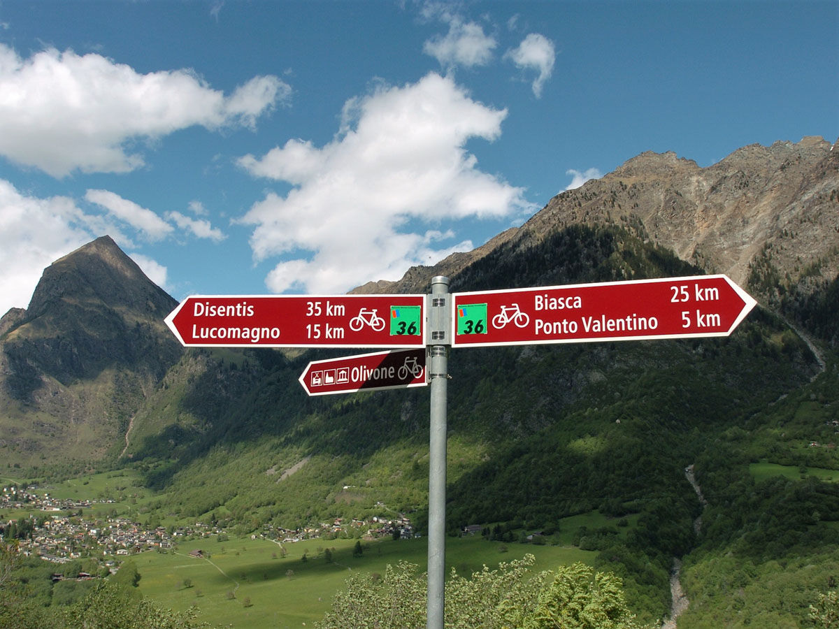
Follow the bicycle logo shown on the red signs: Blenio Lucomagno route no. 36
Še ni pregledov
Pridobite vpogled
Vedno v živo na mestu z več kot 9.500 spletnimi kamerami. bergfex Kot uporabnik Pro si lahko zdaj ogledate ustrezne spletne kamere za številne izlete v aplikaciji izleti iz. Tako si lahko neposredno ogledate trenutne razmere.
Priljubljeni izleti v okolici
-
4.8
Tibet Suspension Bridge Route Riasc
svetlobaPohodništvo 6.12 km -
Furggelti 2712m
težkoPohodništvo 18.7 km -
4.5
Carassino Valley Via Alta
Pohodništvo 14.0 km -
5.0
Discovering the Lakes of Chièra
srednjaPohodništvo 8.19 km -
Trailrun - Zerfreilahorn circuit
težkoTrailrunning 21.3 km -
3.0
Faido and the Piumogna waterfall
Pohodništvo 6.94 km -
3 day route Greina-Lucomagno: Capanna Scaletta - Capanna Bovarina (Stage 2)
srednjaPohodništvo v daljavo 13.3 km -
Lago d'Efra Trail
težkoTrailrunning 13.6 km -
Crown Hike (12 stages)
težkoPohodništvo v daljavo 213.1 km -
Cima del Simano (2580 m)
Pohodništvo 9 km
Pohodništvo in sledenje

Zaradi več kot 550.000 predlogov izletov, podrobnih zemljevidov in intuitivnega načrtovanja poti je aplikacija obvezna oprema za vse ljubitelje narave.

Ne zamudite ponudb in navdiha za naslednje počitnice
Naročite se na novice
Napaka
Zgodila se je napaka. Prosimo, poskusite znova.
Zahvaljujemo se vam za prijavo
Vaš e-poštni naslov je bil dodan na poštni seznam.
Izleti po vsej Evropi
Avstrija
Švica
Nemčija
Italija
Slovenija
Francija
Nizozemska
Belgija
Poljska
Lihtenštajn
Češka
Slovaška
Španija
Chorvátsko
Bosna in Hercegovina
Luksemburg
Andora
පෘතුගාලය
අයිස්ලන්තය
එක්සත් රාජධානිය
අයර්ලන්තය
ග්රීසිය
ඇල්බේනියාව
North Macedonia
Malta
Norway
Montenegro
Moldova
කොසෝවො
හන්ගේරියානු සමුහාණ්ඩුව
San Marino
රුමේනියාව
එස්ටෝනියා
ලැට්වියාව
බෙලාරස්
සයිප්රස්
Lithuania
Serbia
බල්ගේරියාව
Monaco
ඩෙන්මාර්කය
Sweden
ෆින්ලන්තය





