







Via Alta del Sole
Stopnja težavnosti: T4

Route
The Via Alta del Sole stretches over approximately 51 km, mostly above 2,000 metres in altitude, with a total ascent of around 5,600 metres and an equal descent. The route is divided into 5 stages...
The Via Alta del Sole stretches over approximately 51 km, mostly above 2,000 metres in altitude, with a total ascent of around 5,600 metres and an equal descent. The route is divided into 5 stages with overnight stays in mountain huts, mainly following white-blue alpine trails intended for experienced hikers. While it requires good fitness and surefootedness, it is considered a medium-difficulty alpine route (T4, with some T4+ sections), making it less demanding than other high routes in Ticino.
Flora and fauna
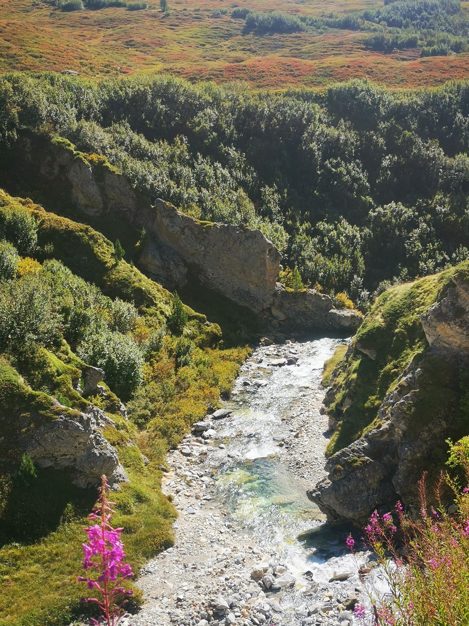
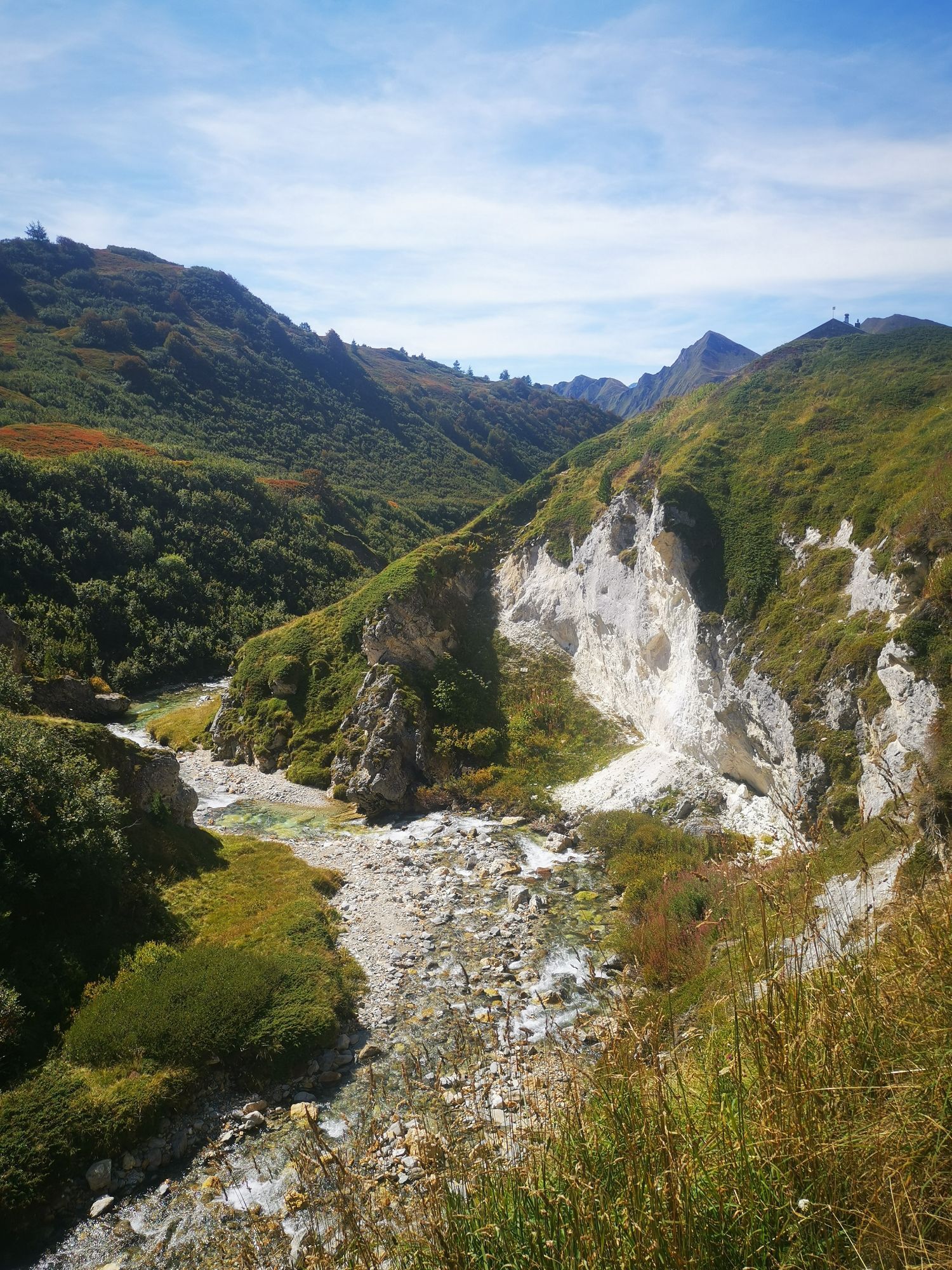
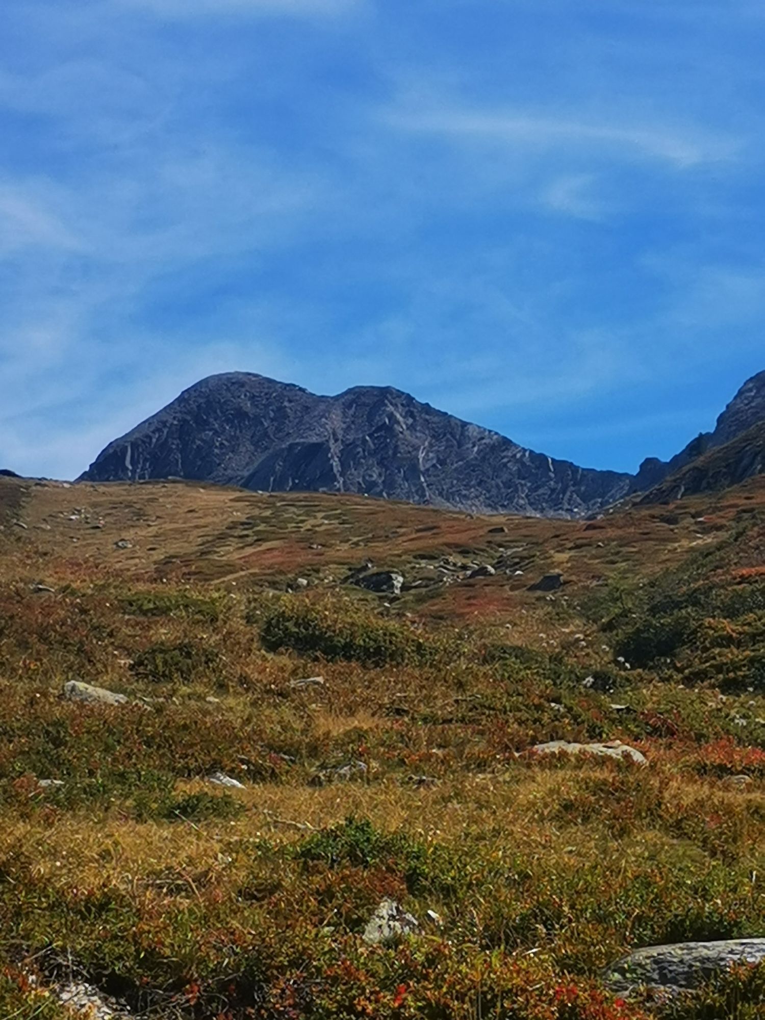
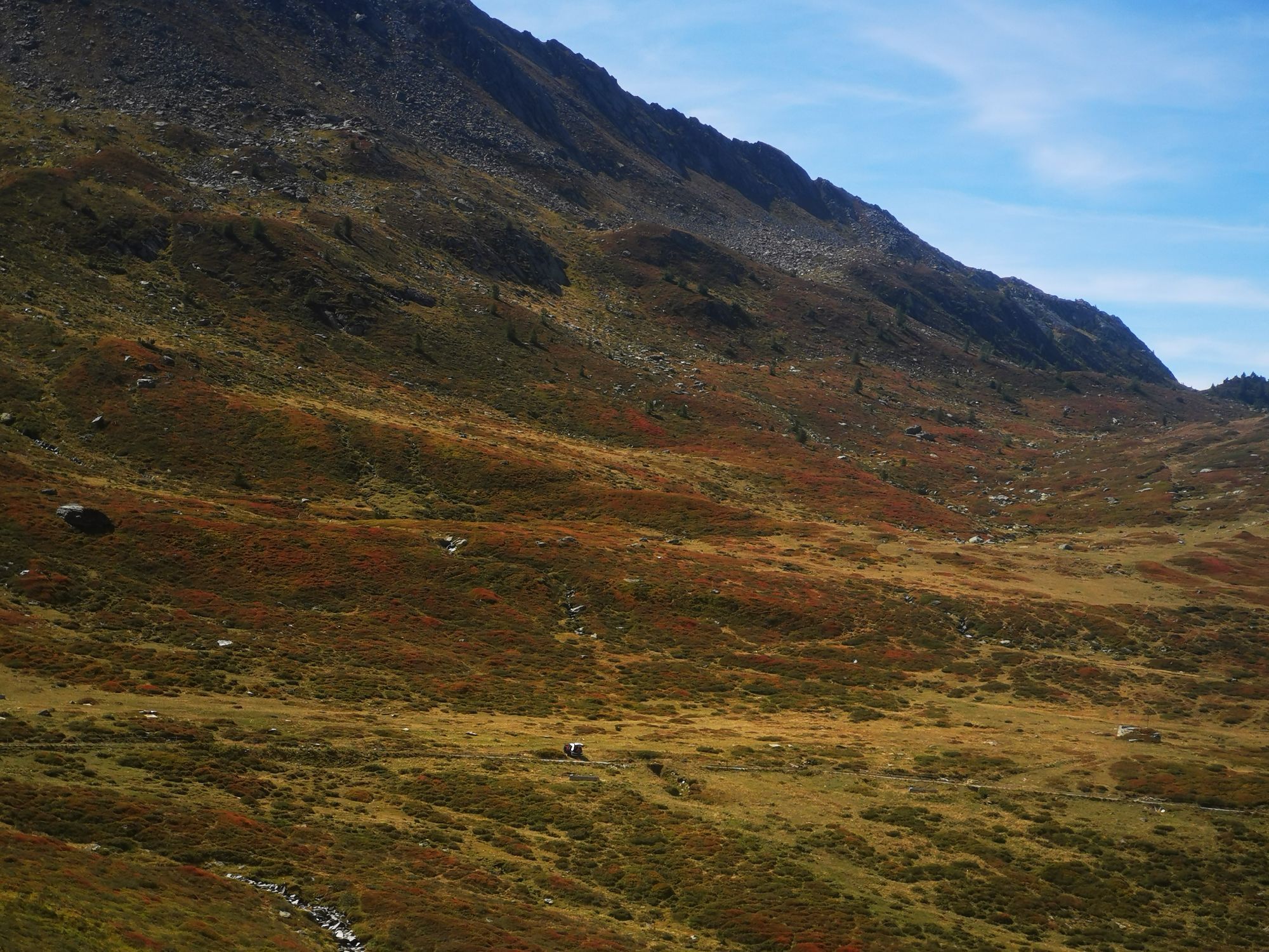
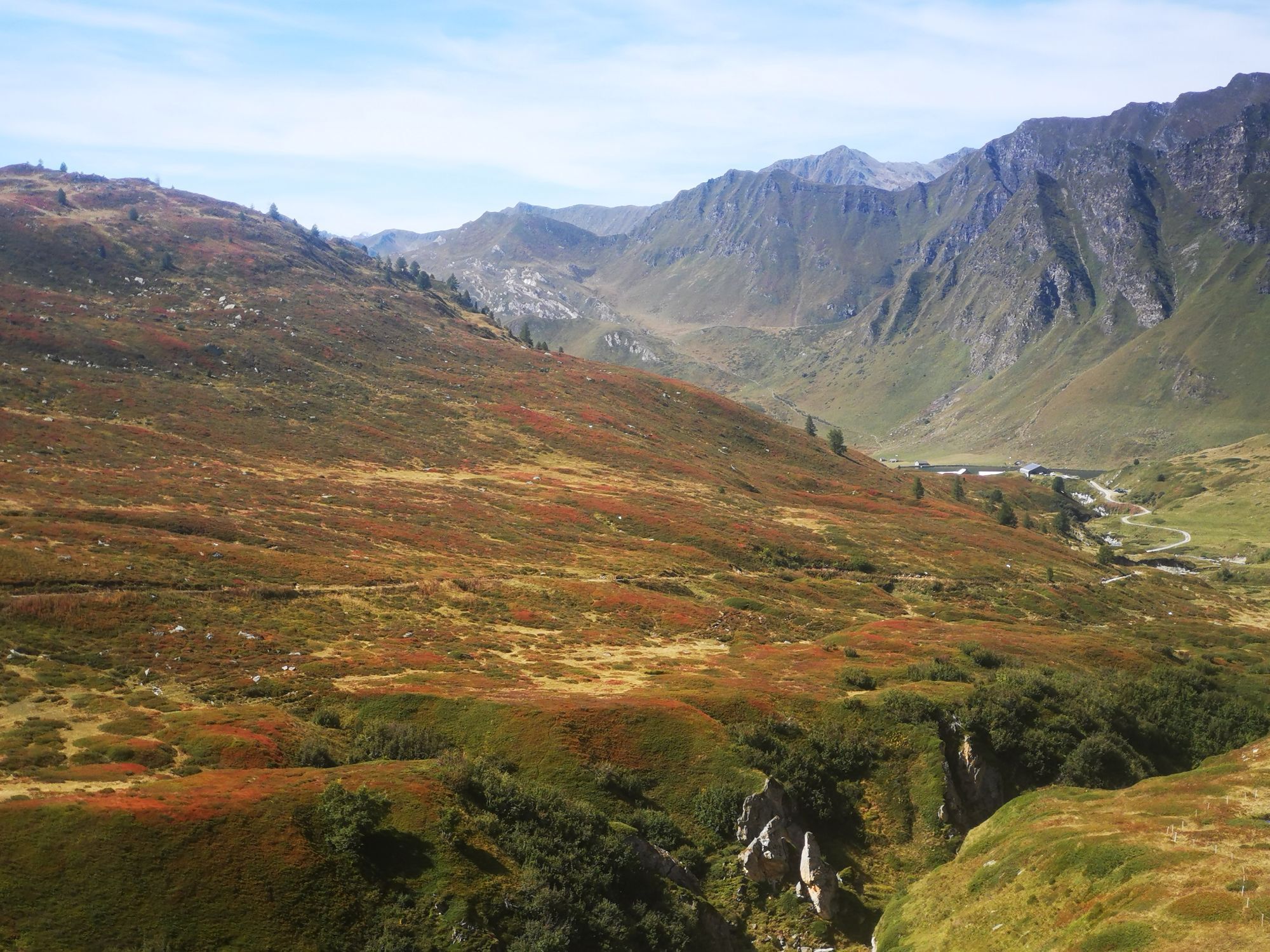
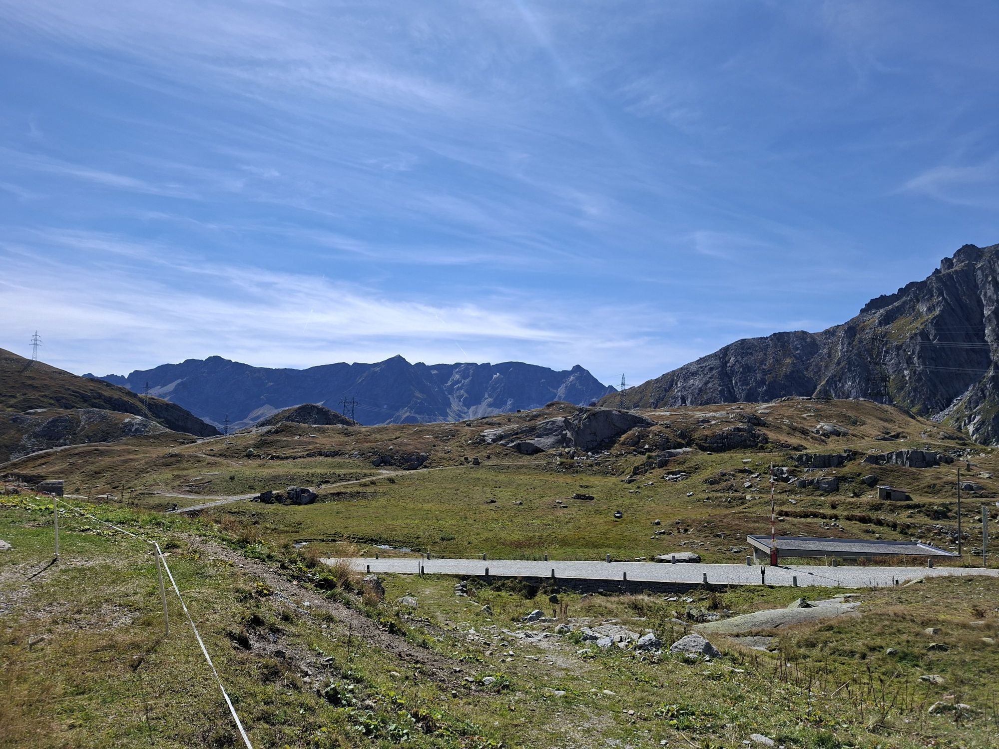
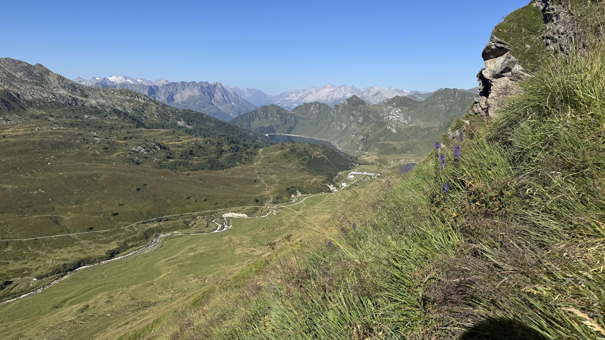
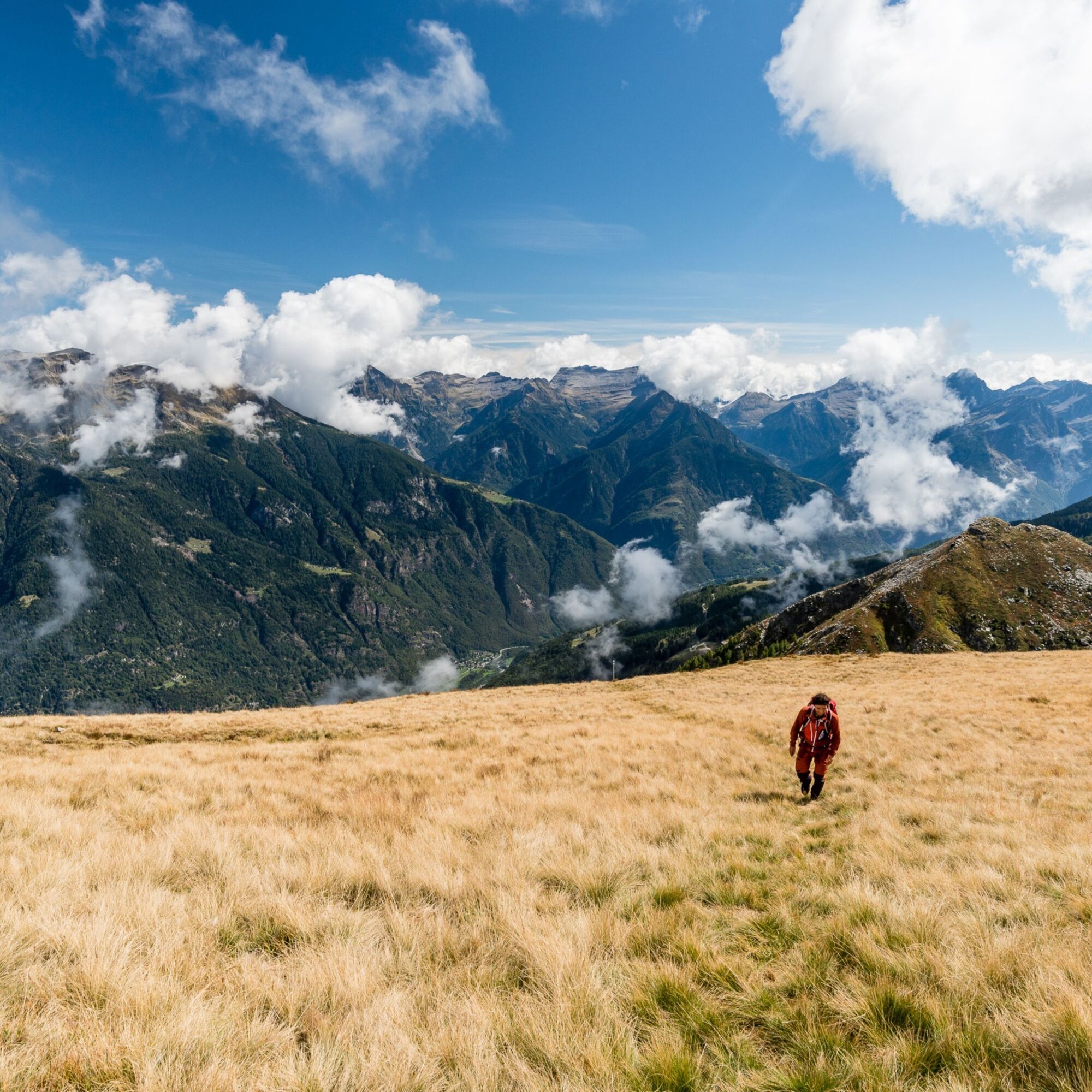
Along the Via Alta del Sole, hikers encounter diverse natural environments: alpine pastures, sparse forests and rocky areas. The region is home to typical alpine wildlife, including chamois, marmots and various bird species, as well as a rich flora that changes with altitude and the seasons.
Huts and shelters
The route is dotted with welcoming mountain huts and shelters, ideal for rest and overnight stays. These offer authentic hospitality and allow visitors to fully experience the mountain atmosphere, often in scenic locations.
Unique experience
The Via Alta del Sole is much more than a trek: it is a journey through light, nature and freedom. Each stage offers different sensations, between silence, wide horizons and the slow rhythm of walking, making it an unforgettable experience for mountain lovers.
Stages
1: Capanna Pian d'Alpe (1,764 m) – Rifugio Bassa di Nara (2,110 m)
(6h30, 1,500 m ascent, T4)
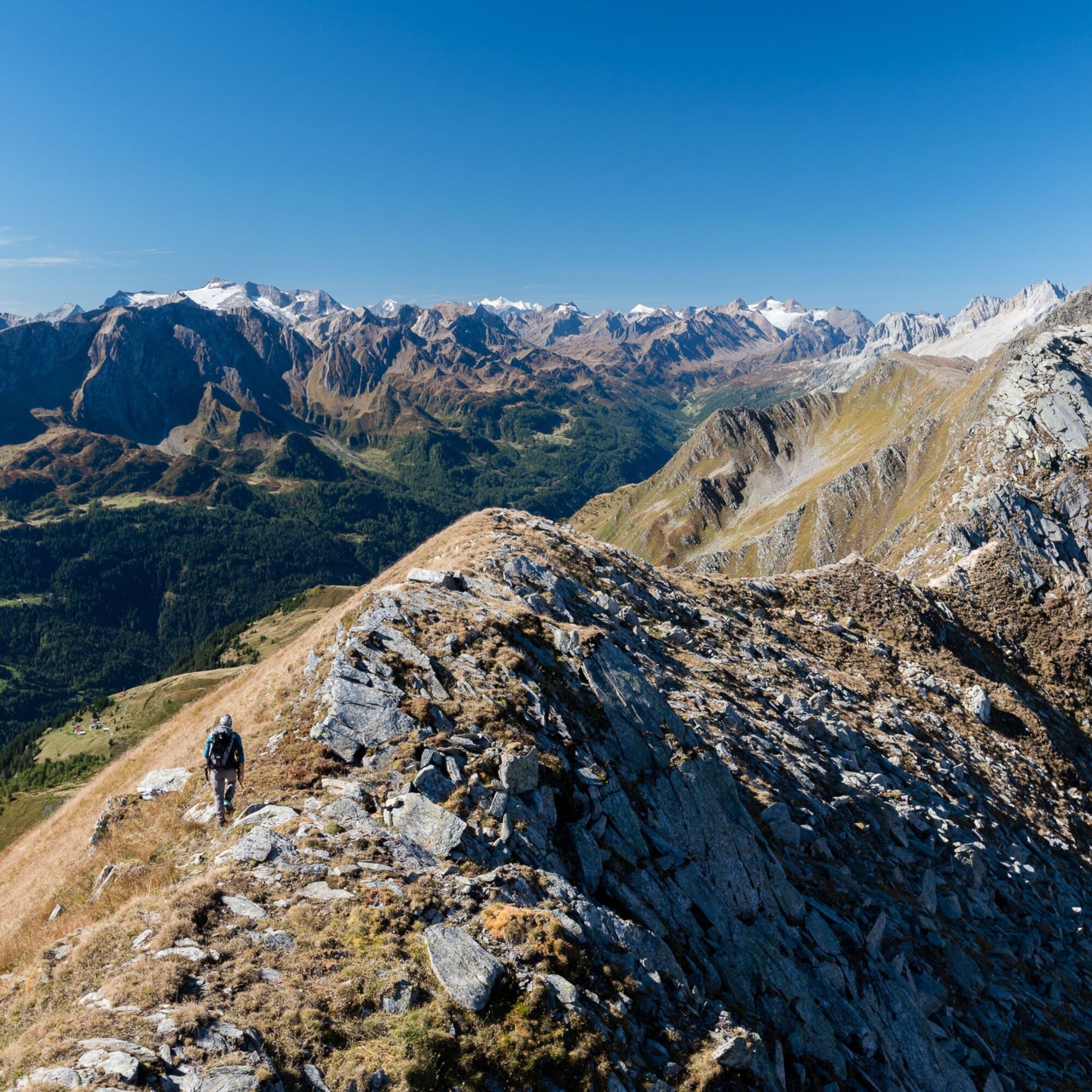
The scent of resin accompanies the climb up to the Matro antenna, an eccellent panoramic viewpoint. A beautiful, continuous ridge unfolds—almost like flying—above the Leventina and Blenio valleys, crossing no fewer than eight summits. The route ends on a wide saddle where the Bassa di Nara hut is located.
2: Rifugio Bassa di Nara (2,110 m) – Rifugio Gana Rossa (2,727 m)
(3h40, 865 m ascent, T4)
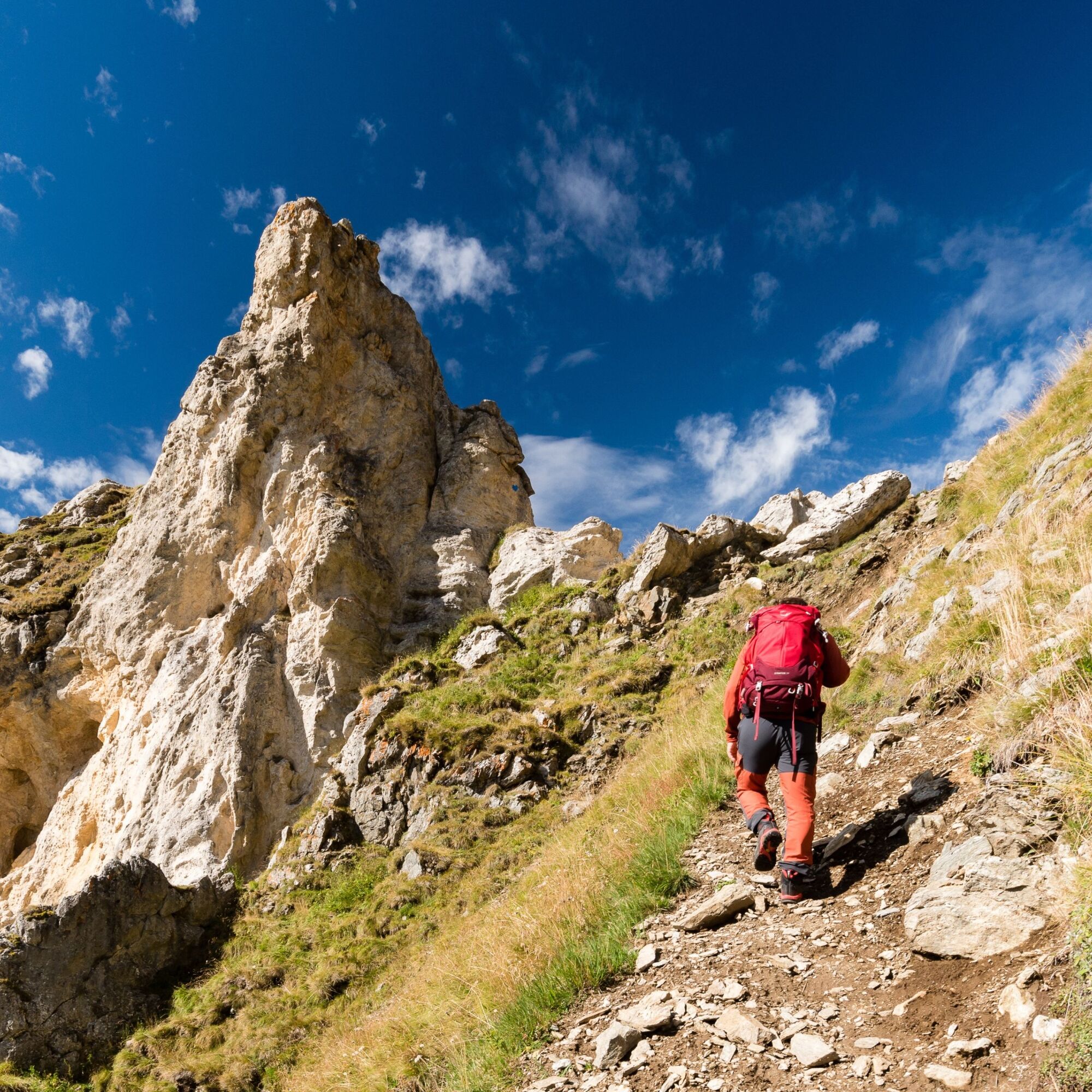
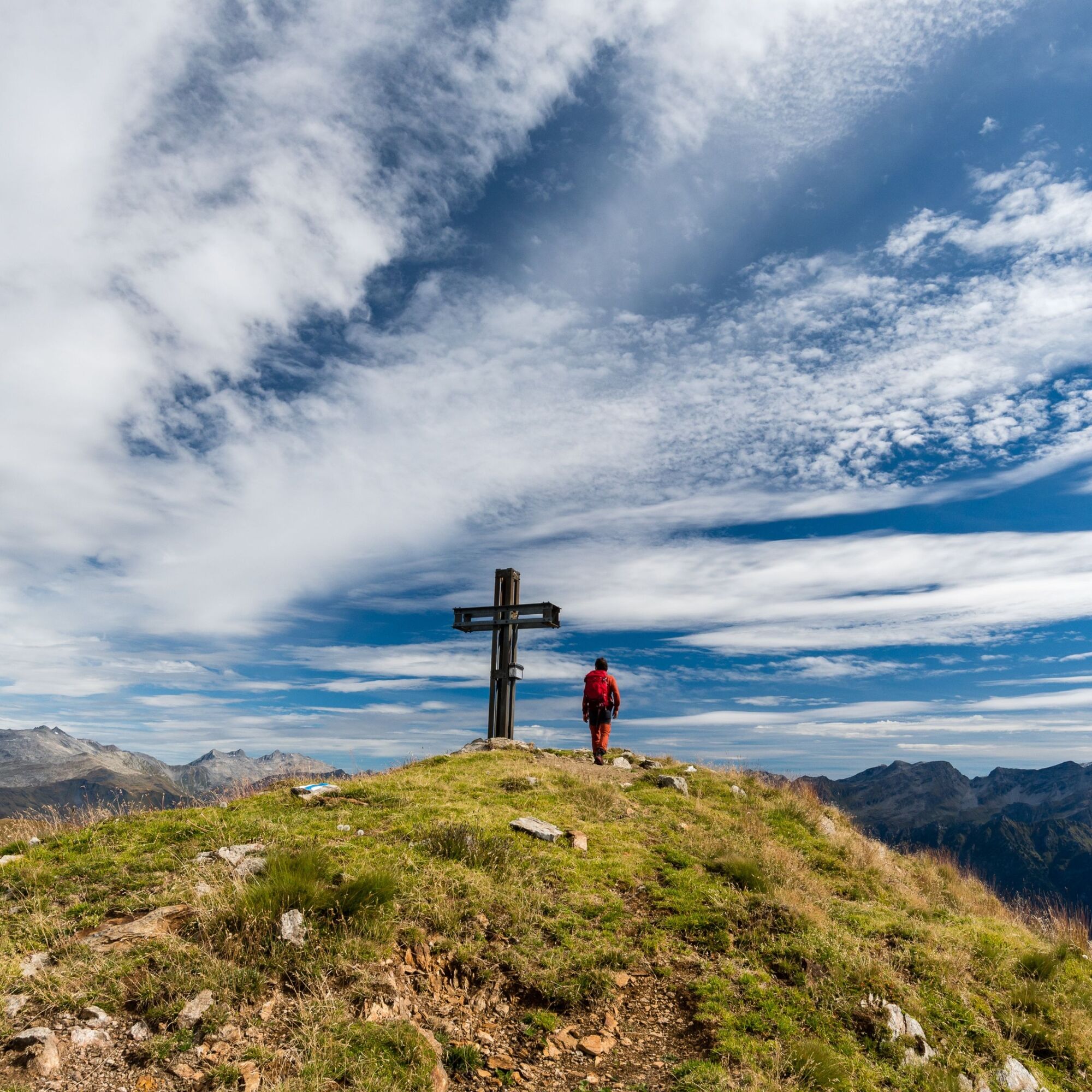
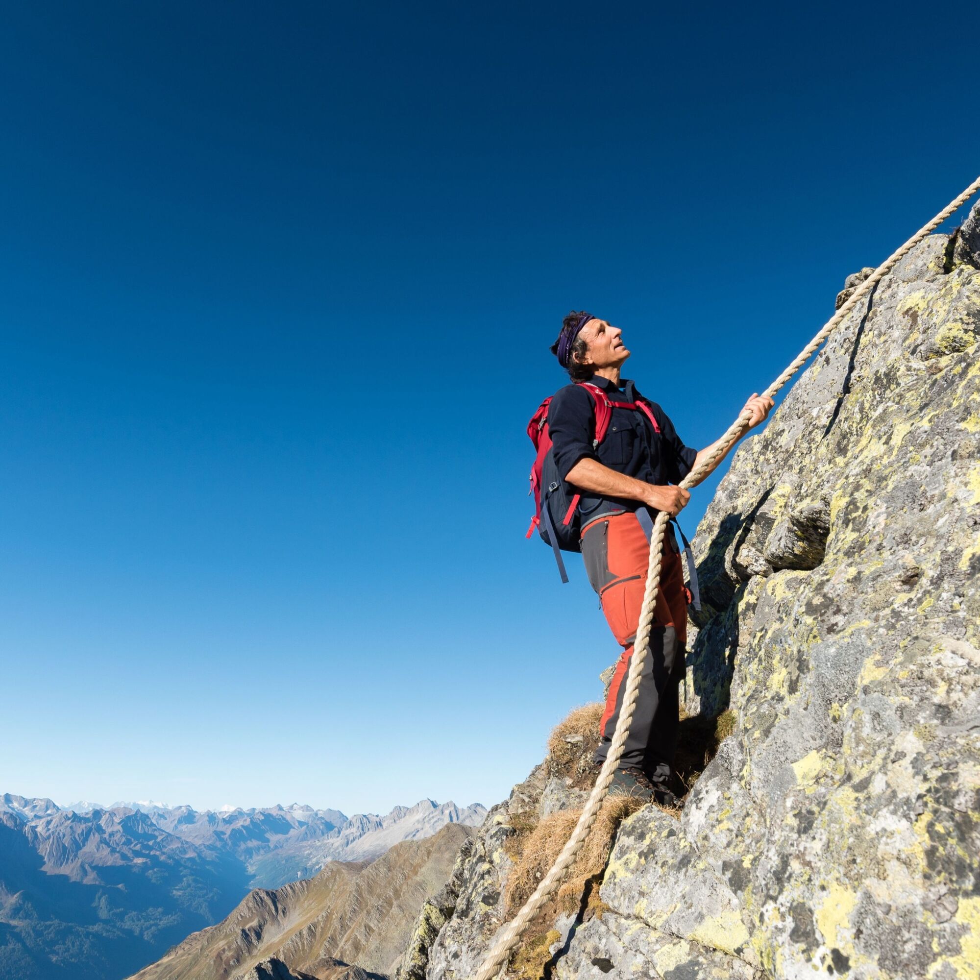
Grassy ridges become narrower, the first rocky sections appear, and fixed ropes become more frequent. The large summit cross on Pizzo Molare highlights the importance of this peak—the character of the route truly begins to emerge. Following the watershed line, hikers enjoy views of parallel Alpine chains, with the Adula massif to the east and Campo Tencia to the west.
3: Rifugio Gana Rossa (2,727 m) – Capanna Cadagno (1,987 m)
(6h15, 1,150 m ascent, T4+)
The eye, accustomed to the lush green pastures seen so far, now shifts to the grey tones of granite (gneiss). The ridge becomes rocky, and at times hands are needed for progression. Pizzo del Sole appears in the distance. The ridge continues to divide the Blenio and Leventina valleys, with the historic passes of Lukmanier and Gotthard visible on the horizon.
4: Capanna Cadagno (1,987 m) – Capanna Cadlimo (2,569 m)
(4h, 1,050 m ascent, T4)
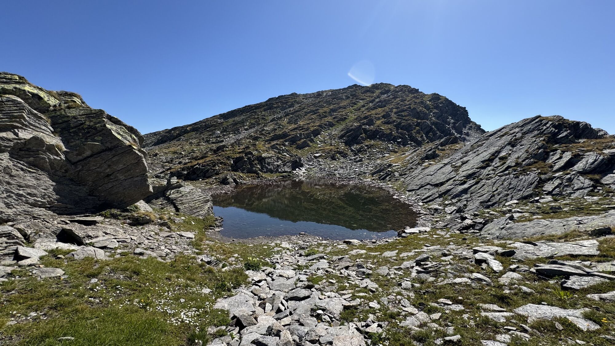
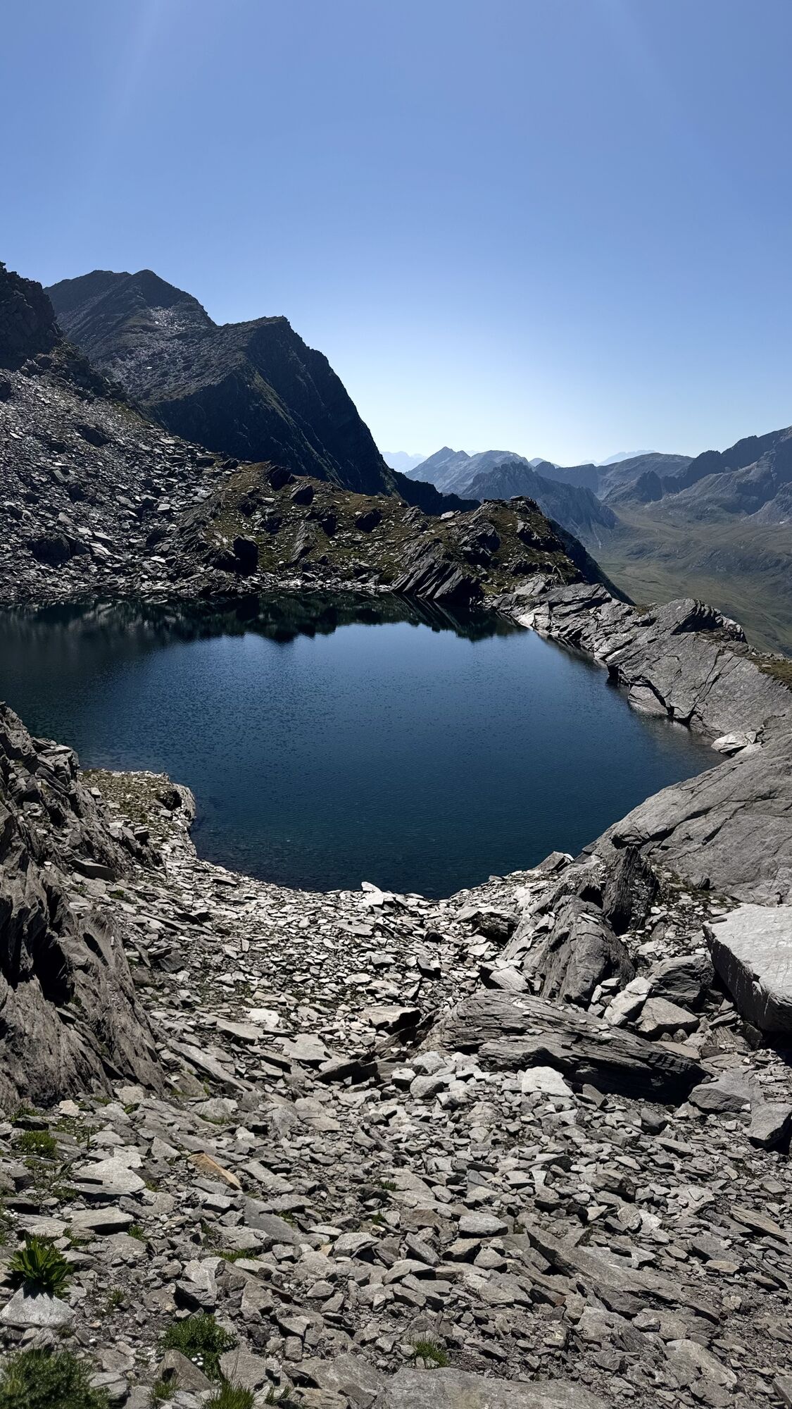
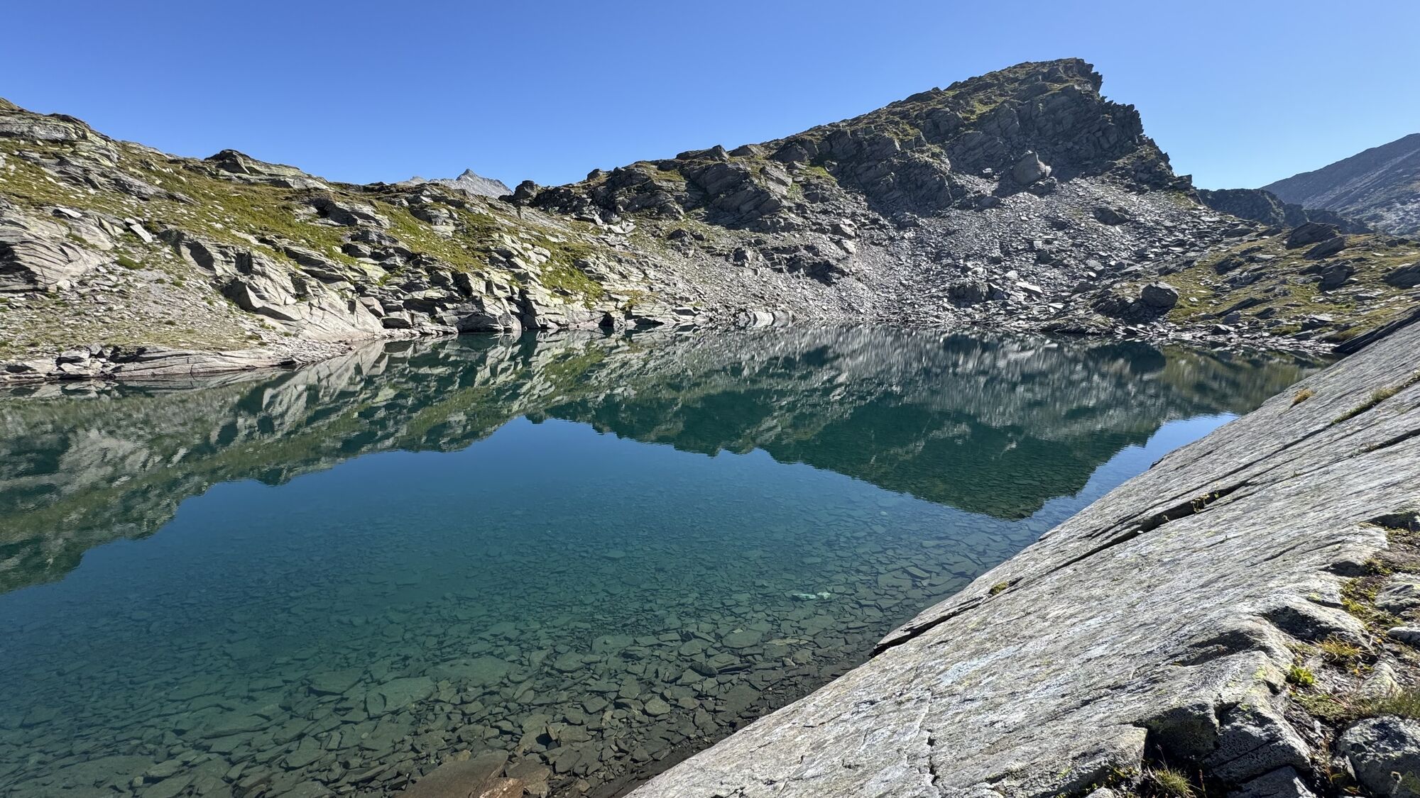
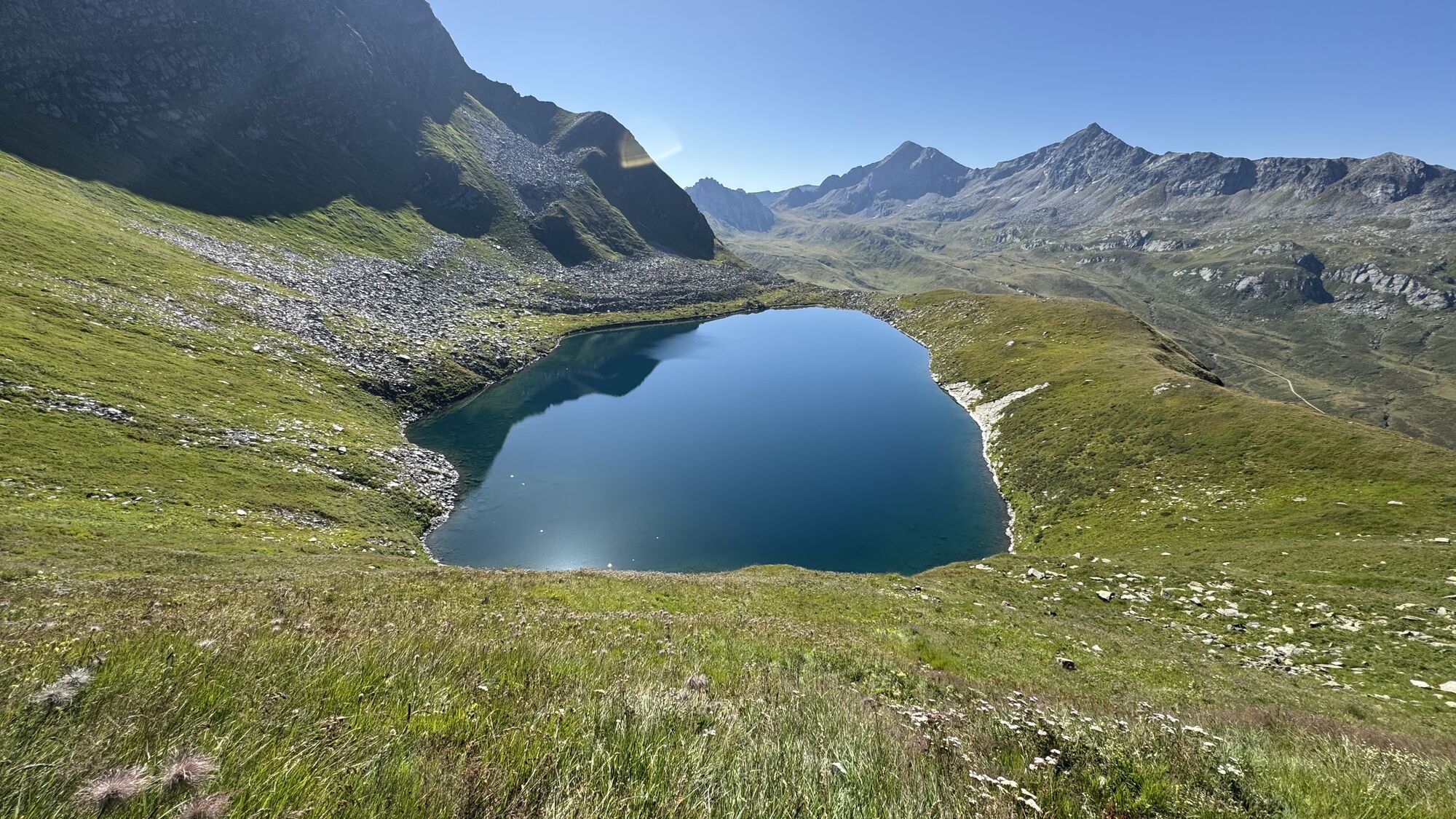
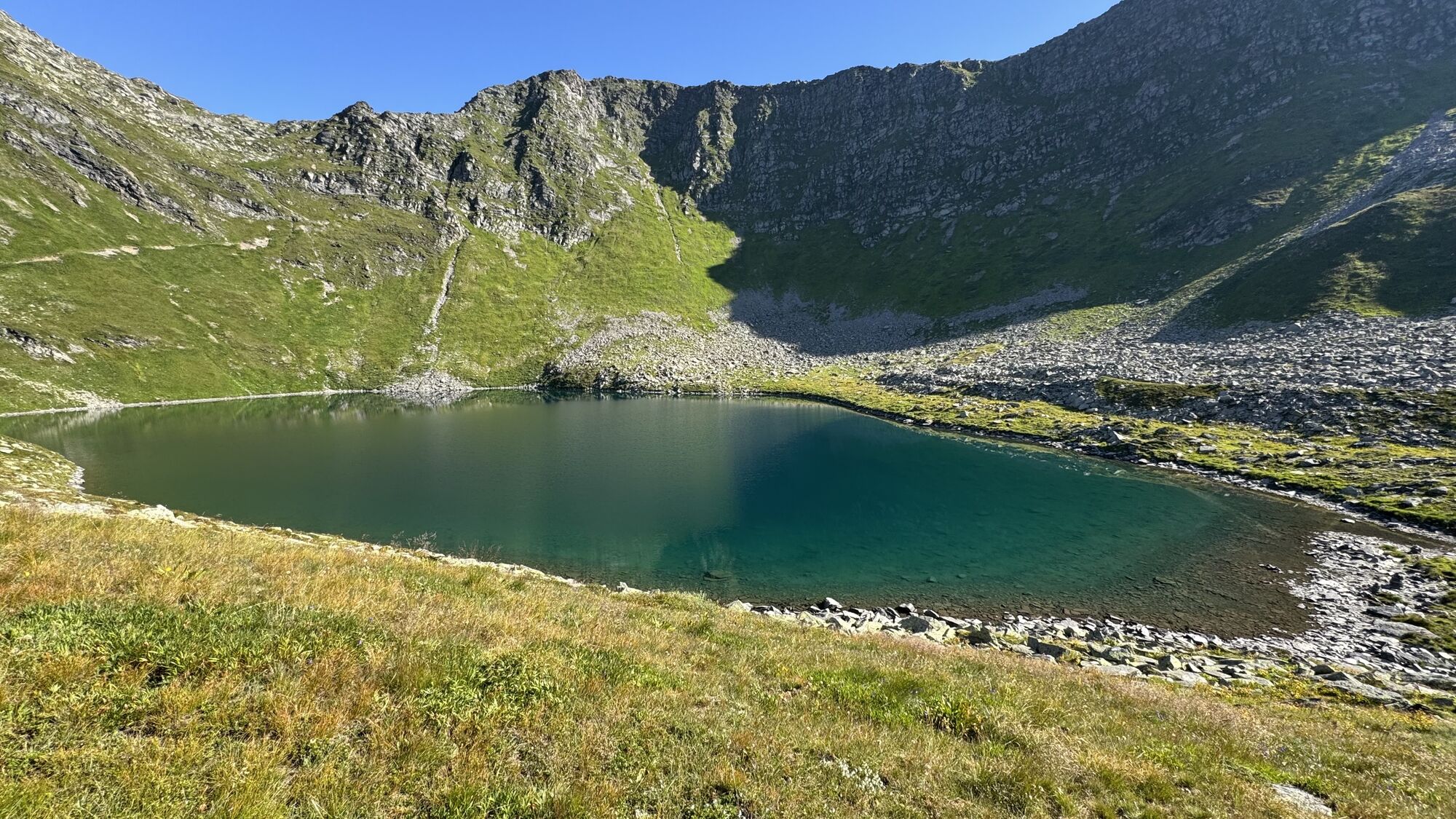
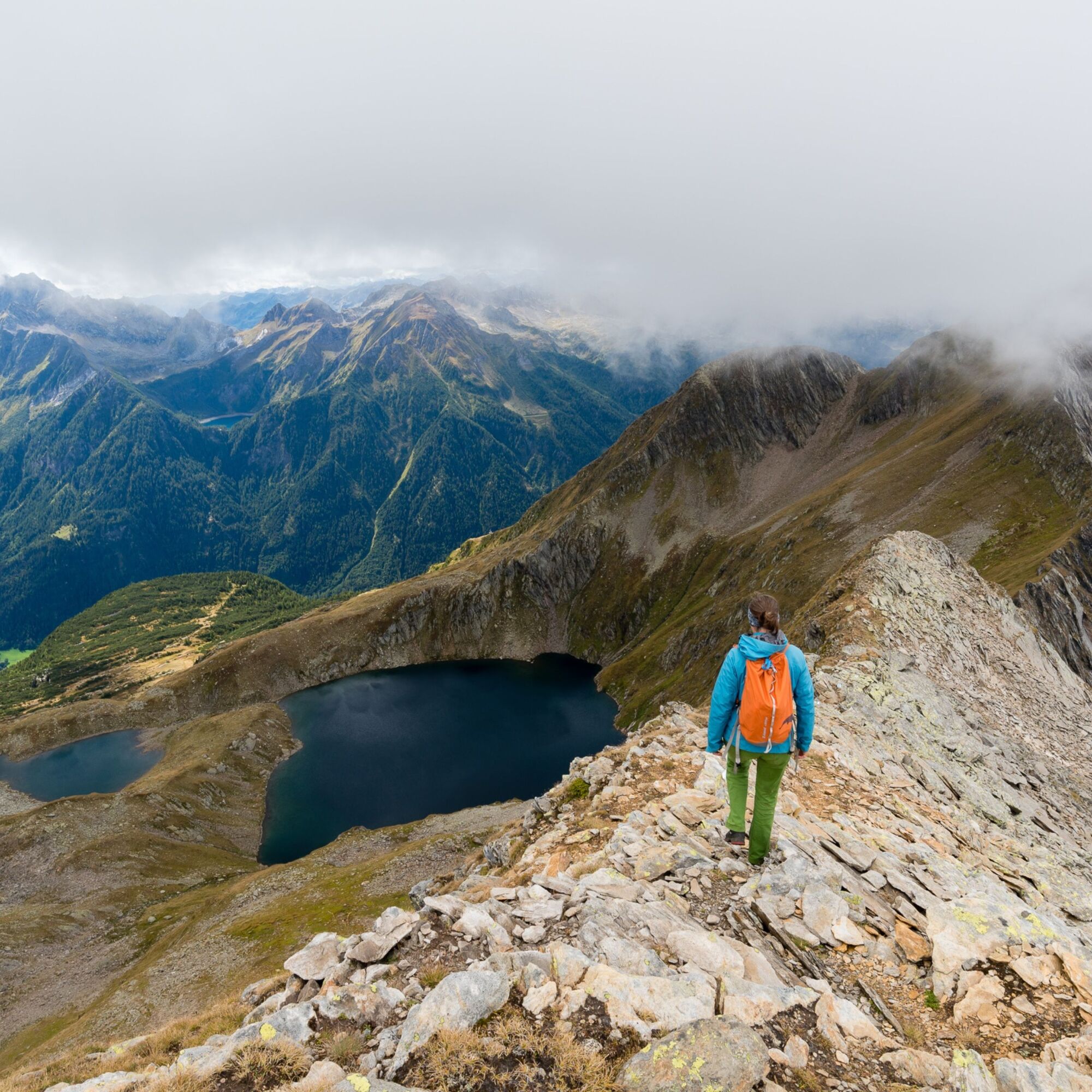
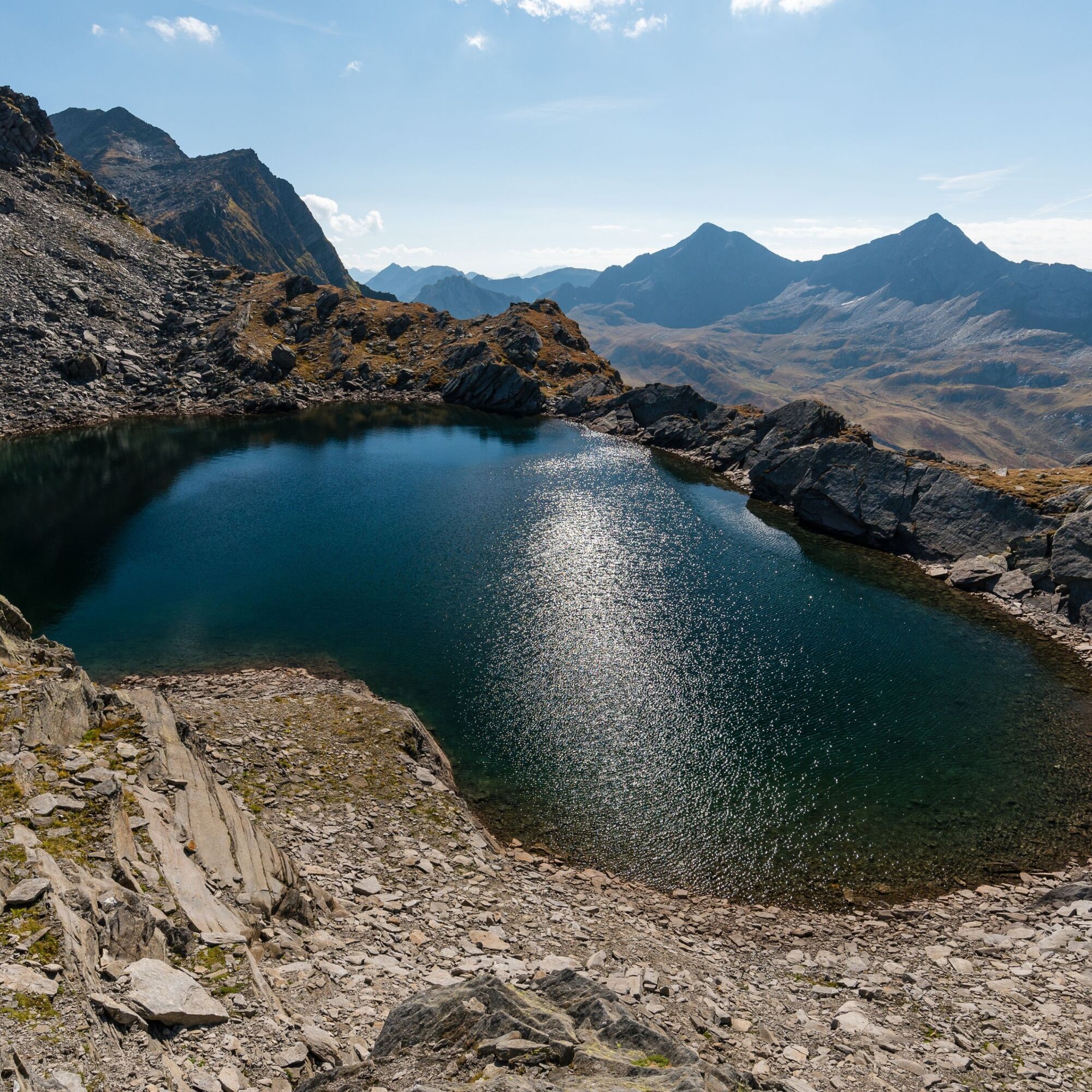
Steep slopes and ridge sections connect a series of alpine lakes (Cadagno, Dentro, Oréi, Stabbio, Scuro, etc.) scattered throughout this region. Like gems set in the rock, they display a variety of blue tones, shaped by the colours of the surrounding stone and sky.
5: Capanna Cadlimo (2,569 m) – Barbarera–San Gottardo (2,091 m)
(6h30, 980 m ascent, T5)
For those who wish to stay on the ridge and conclude the trek in the spirit of the previous days—“walking above the valleys”—this route is not to be missed. The ridge between Pizzo Barbarera and the Unteralp Pass is graded T5: not overly difficult, with paths and some fixed ropes, but it requires surefootedness.
5A: Capanna Cadlimo (2,569 m) – Val Canaria–San Gottardo (2,091 m)
(6h, 950 m ascent, T3)
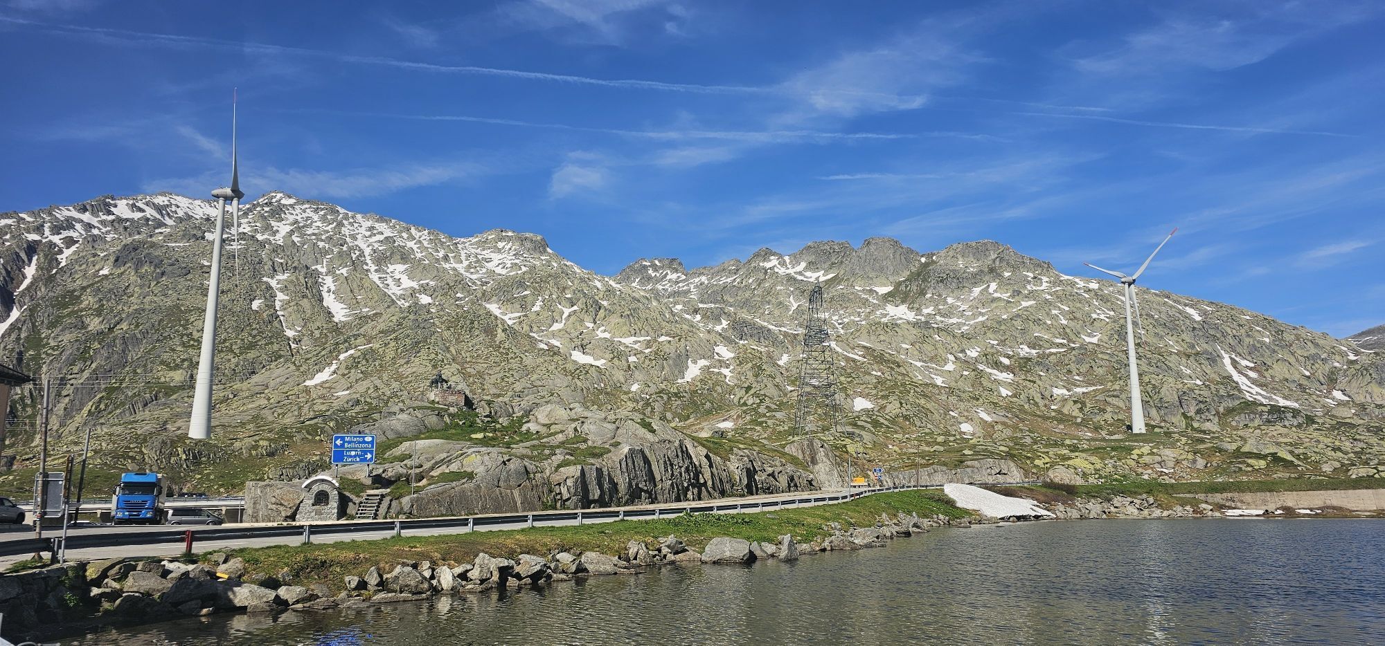
From the highest staffed hut in Ticino, the route descends into the wild and rugged Val Canaria, but only briefly—just enough to encounter larches and pines again. Soon the trail climbs back to altitude, continuing towards Switzerland’s most historic pass, marked by slowly turning wind turbines and a unique atmosphere.
5B: Capanna Cadlimo (2,569 m) – Vermigel–San Gottardo (2,091 m)
(8h, 1,360 m ascent, T4)
To reach the Bornengo Pass, hikers traverse an airy T4 ridge with fixed ropes and steps (with the option of an easier red-white trail). This is followed by a long route towards the Gotthard, with two ascents and descents and a valley to climb—many hours of walking, unless you choose to split it into an additional stage and turn the trek into six days.


CAS Difficulty scale
T4
Mountain huts and shelters
Check in advance whether the hut is staffed and if food is available Book in advance (and cancel in case of changes)Emergency contacts
1414
REGA emergency number (from Switzerland)
+41 333 333 333
REGA emergency number (from abroad or with a foreign SIM card)
112
International emergency number: calls are automatically routed to the appropriate emergency service (ambulance, police, fire brigade). The 112 number can be dialled on GSM networks even without a SIM card or if the phone is locked. Outside Switzerland, it also works without a SIM card.
Mobile phone coverage
In general, there is almost always mobile reception along the Via Alta del Sole (although in some areas, such as the Cadlimo region or Lago Sella, there is no signal). However, depending on weather conditions or other factors, connectivity may be limited. Mobile coverage information (indicative, not guaranteed) refers to Swisscom coverage.
Pridobite vpogled Vedno v živo na mestu z več kot 9.500 spletnimi kamerami. bergfex Kot uporabnik Pro si lahko zdaj ogledate ustrezne spletne kamere za številne izlete v aplikaciji izleti iz. Tako si lahko neposredno ogledate trenutne razmere. Priljubljeni izleti v okolici
- 4.9
Rheinquelle - Lai da Tuma über den Pazzolastock
srednjaPohodništvo 10.3 km - 4.8
Fusio-Lake Mognola-Fusio
srednjaPohodništvo 8.94 km Rheinquelle - Lai da Tuma
srednjaPohodništvo 5.67 km- 3.8
Piz Cavradi
srednjaPohodništvo 6.48 km - 5.0
Passo delle Colombe - Passo del Sole
Pohodništvo 12.4 km - 4.8
Tibet Suspension Bridge Route Riasc
svetlobaPohodništvo 6.12 km Val Piora lakes route
srednjaPohodništvo 15.8 km- 4.7
Source of the Brenno
svetlobaPohodništvo 6 km - 5.0
Alps of Lucomagno
srednjaPohodništvo 13.2 km Lai Blau
Pohodništvo 8 km
Pohodništvo in sledenje


Ne zamudite ponudb in navdiha za naslednje počitnice
Vaš e-poštni naslov je bil dodan na poštni seznam.





