






Snowshoe Tour and Ski Tour: Rotlahner in S. Maddalean/Gsieser Tal Valley
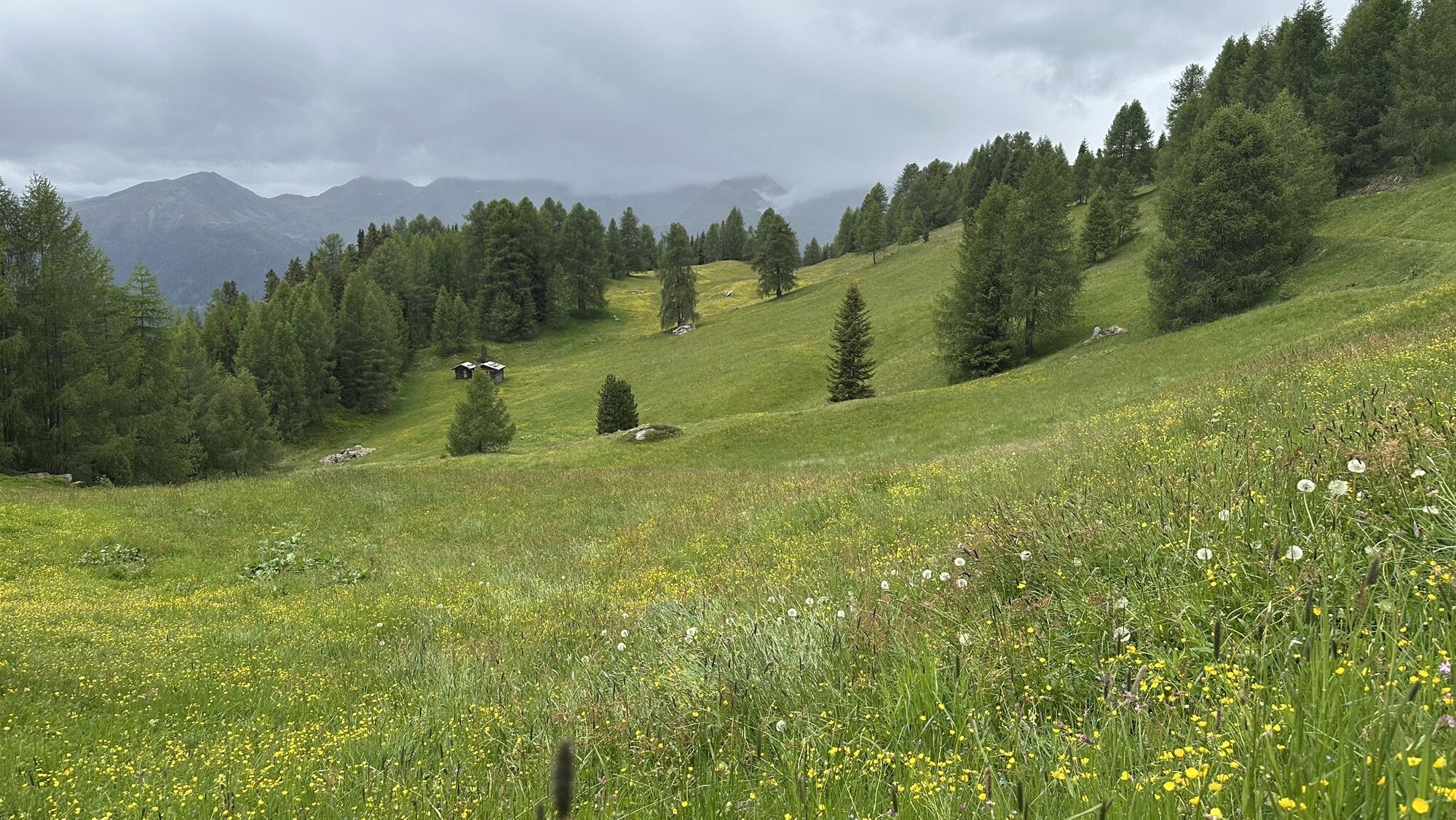
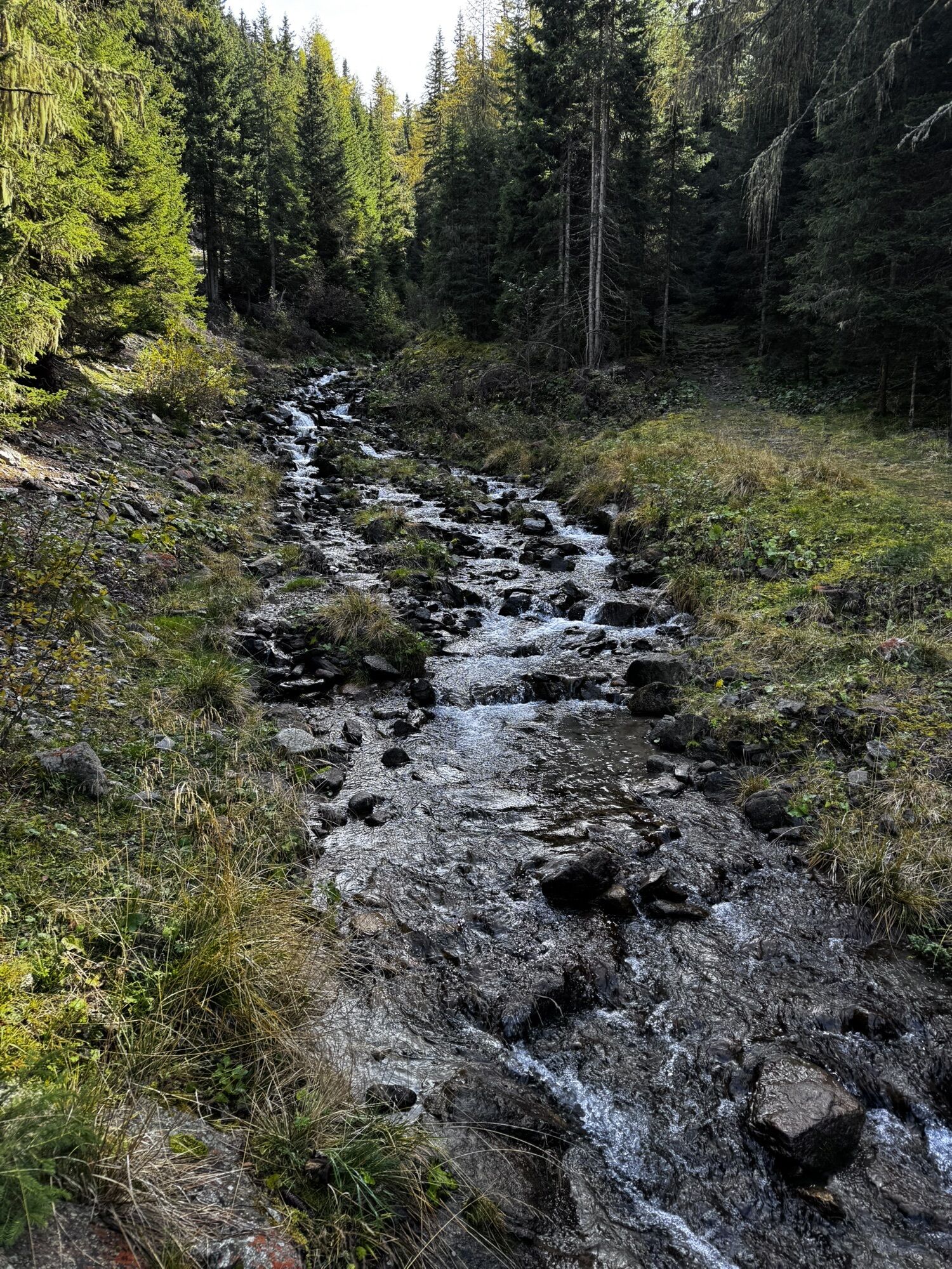

From the head of the valley in St. Magdalena in the Gsieser Valley 1465 m, follow the signpost number 47 over the bridge, then immediately turn left, and after a few metres turn right. The snowshoe hike,...
From the head of the valley in St. Magdalena in the Gsieser Valley 1465 m, follow the signpost number 47 over the bridge, then immediately turn left, and after a few metres turn right. The snowshoe hike, or rather the ski tour, leads you parallel to the toboggan run and along the Tscharniet Stream uphill to the Köfler Alm at 1806 m. Pass the big boulder, keep straight (do not follow the forest road) and continue through the steeply ascending stretch of forest to the Kasermähder Alm at 2048 m, passing various types of pine covered in deep snow. The gentle snowy slopes of the “Stierböden” lead to the Heimwaldjöchl at 2648 m. Once there, turn right and reach your final destination, the Rotlahner, in just 15 minutes.


 Pridobite vpogled
Vedno v živo na mestu z več kot 9.500 spletnimi kamerami. bergfex Kot uporabnik Pro si lahko zdaj ogledate ustrezne spletne kamere za številne izlete v aplikaciji izleti iz. Tako si lahko neposredno ogledate trenutne razmere.
Pridobite vpogled
Vedno v živo na mestu z več kot 9.500 spletnimi kamerami. bergfex Kot uporabnik Pro si lahko zdaj ogledate ustrezne spletne kamere za številne izlete v aplikaciji izleti iz. Tako si lahko neposredno ogledate trenutne razmere.
Priljubljeni izleti v okolici
-
4.6
Mountain hike to Mountain „Lutterkopf and Durakopf (2145/2275m)“
srednjaGorski pohodništvo 11.8 km -
4.8
Antholzer See - Steinzger Alm
srednjaPohodništvo 7.48 km -
4.7
Rund um den Antholzer See
svetlobaPohodništvo 4.27 km -
4.7
Von Kalkstein auf das Toblacher Pfannhorn (2.663 m) und Marchkinkele
srednjaPohodništvo 14.2 km -
4.6
Rote Wand
srednjaVisokogorska tura 12.0 km -
4.3
Seespitze
srednjaPohodništvo 13.7 km -
5.0
Trojertal, Hintere Trojeralm
svetlobaPohodništvo 8.97 km -
4.9
Klammljoch - Defereggental No. 102
srednjaMountainbike 21.9 km -
5.0
Kreuzspitze, 2.624 m
srednjaPohodništvo 5.27 km -
4.3
Thurntaler Rundweg - Parggenspitze - Hochrast
srednjaPohodništvo 18.0 km
Pohodništvo in sledenje


Ne zamudite ponudb in navdiha za naslednje počitnice
Vaš e-poštni naslov je bil dodan na poštni seznam.





