







Snowshoe Tour: Hochkreuzspitze in S. Maddalena/Gsieser Tal Valley
a) From the head of the valley in St. Magdalena in the Gsieser Valley at 1465 m, follow the signpost number 12 over the new bridge, turn left, after the Schlosser Hof left again and after just a few metres...
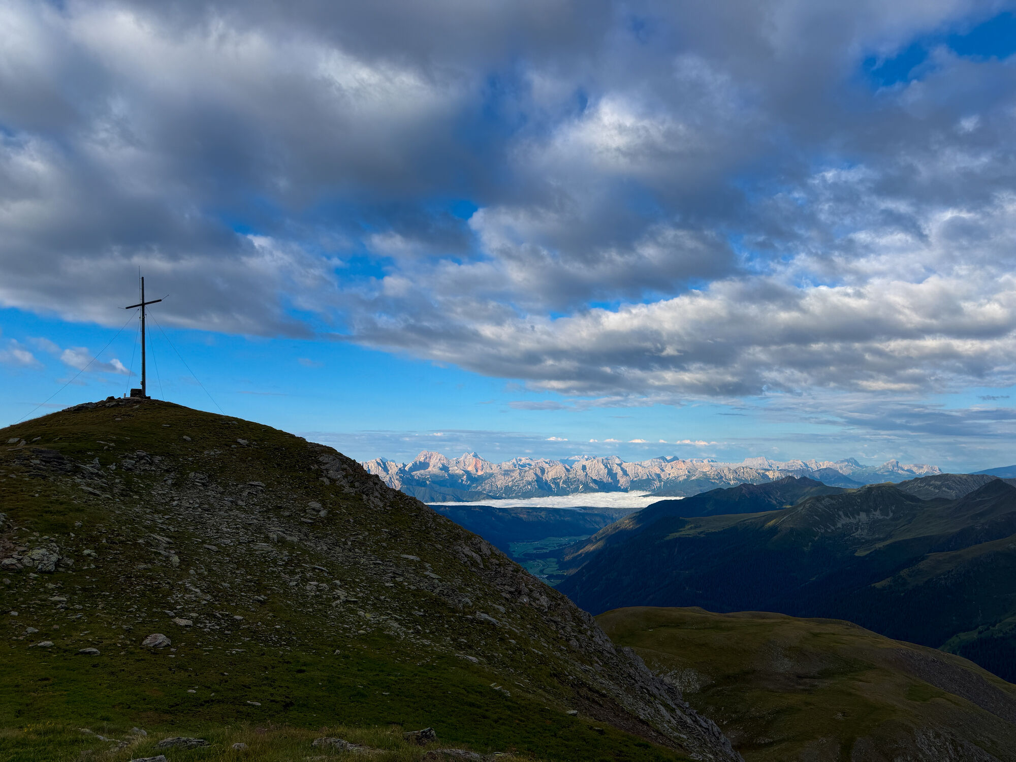
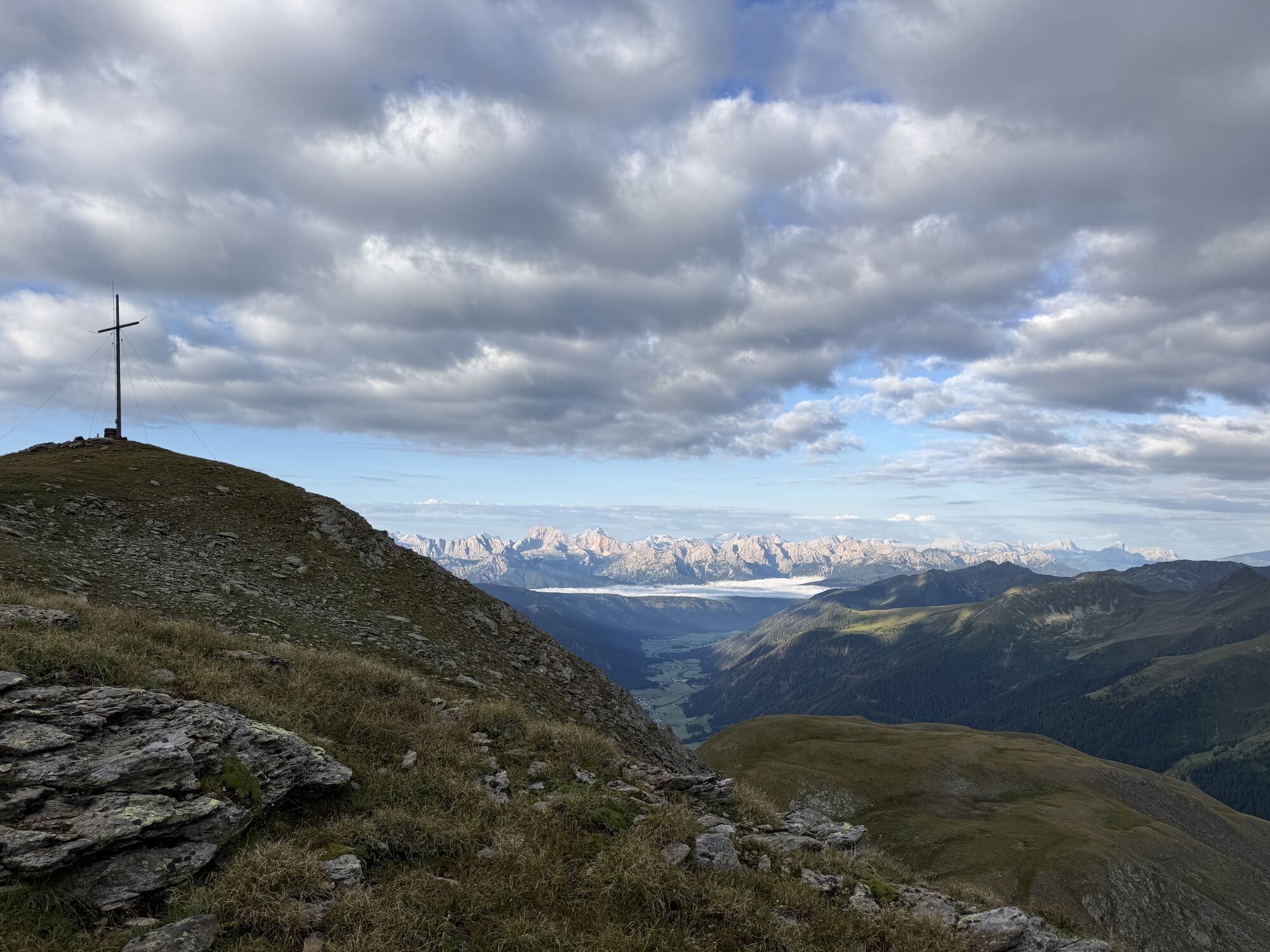
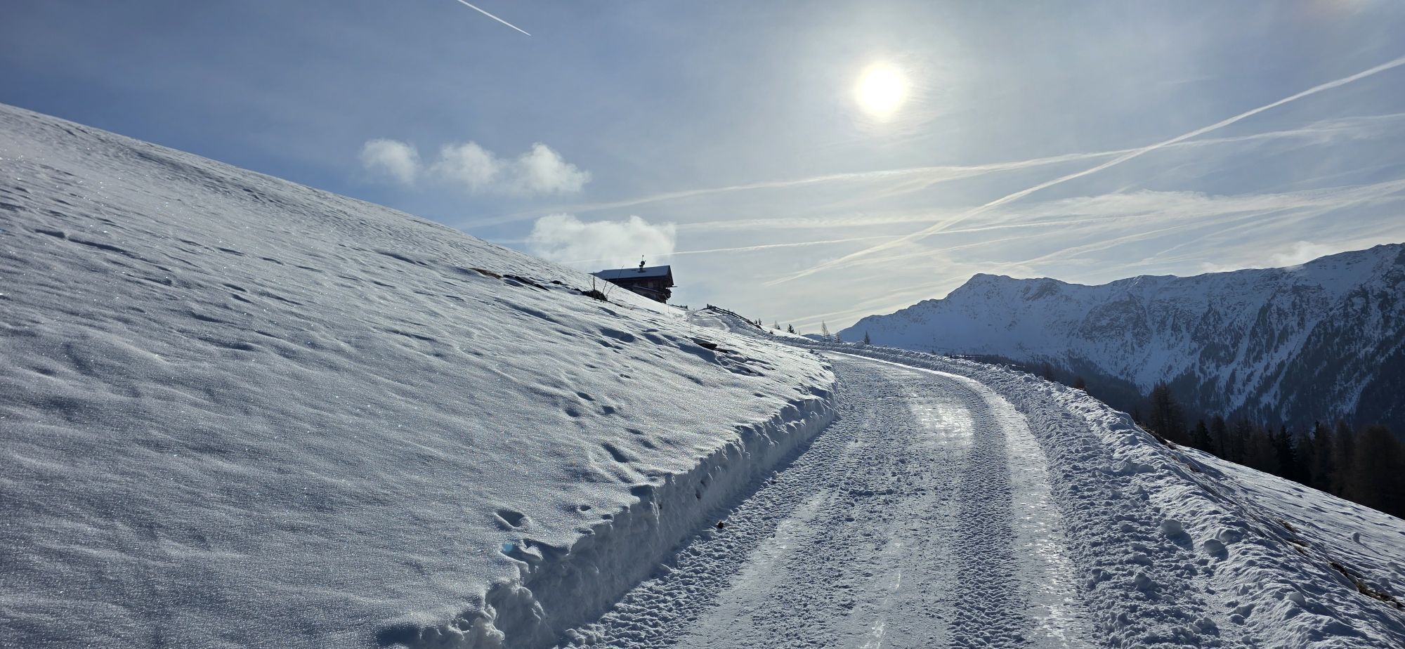
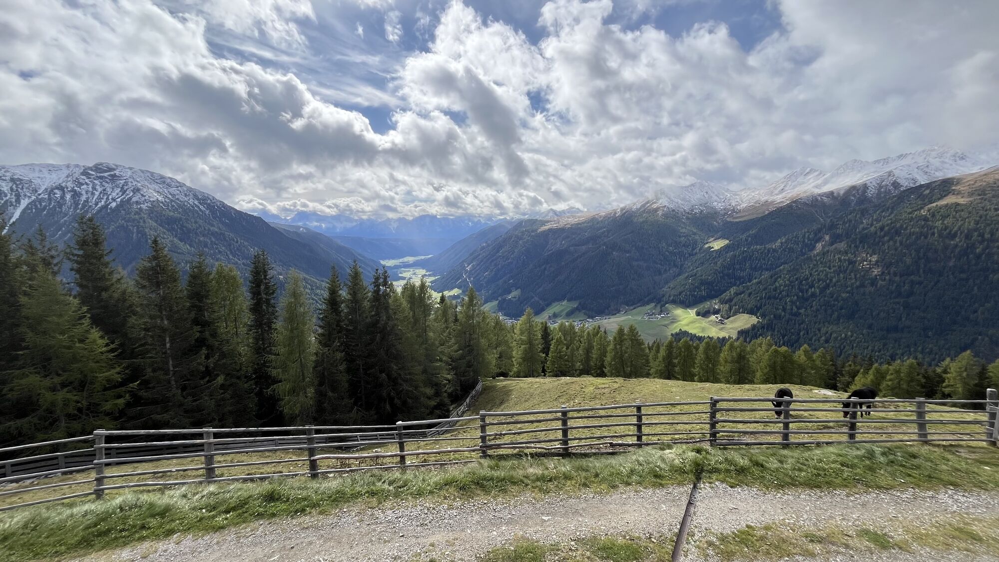
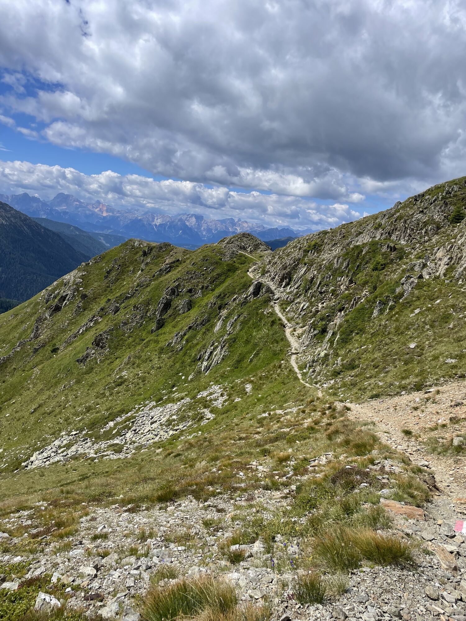
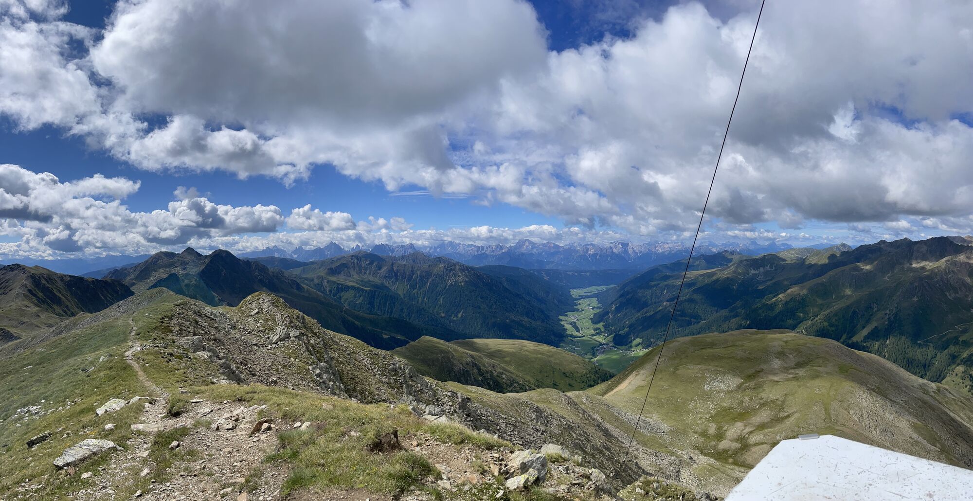
a) From the head of the valley in St. Magdalena in the Gsieser Valley at 1465 m, follow the signpost number 12 over the new bridge, turn left, after the Schlosser Hof left again and after just a few metres keep right and turn into the old “Viehtrieb” (cattle drive), enclosed by fences and shrubs. Ever so often you come across small glades that offer beautiful photo scenes of the valley and the impressive Dolomites of Prags in the southwest. After about 90 minutes you reach the fork (1930 m) to the Uwaldalm (rest point) – from there it is another 30 minutes to the just mentioned Alm. b) shortcut: approximately 100 metres before reaching the bridge of the Pfoi Stream, leave the forest road number 12 by turning right and hike past the big notice board into the woods. There, cross the narrow bridge at 1522 m that has a wayside cross – now you are already on the old Pfoi trail that takes you along the left side of the stream to the forest road number 12 at 1800 m and on to the Uwaldalm at 2042 m (rest point) in a long steep climb. Now, climb the hilly landscape ahead of you and hike predominately along the mountain ridge up to the so-called plate. The route now takes you partly across flat and partly over rocky passages (perhaps remove skis along some passages). At ca. 2500 m cross the slopes towards the right and get to the already familiar route just beneath the Pfoi Lakes, which takes you up to the Hochkreuz. For whoever does not want to cross the transverse slope, follow the ridge and reach directly the middle Hochkreuz at 2702 m, and a little further the Hochkreuzspitze at 2739 m. The best descent or downhill run is either via the Pfoital or the ascent route.

Da
Da
3/6
3/6
Pridobite vpogled
Vedno v živo na mestu z več kot 9.500 spletnimi kamerami. bergfex Kot uporabnik Pro si lahko zdaj ogledate ustrezne spletne kamere za številne izlete v aplikaciji izleti iz. Tako si lahko neposredno ogledate trenutne razmere.

Priljubljeni izleti v okolici
-
4.6
Mountain hike to Mountain „Lutterkopf and Durakopf (2145/2275m)“
srednjaGorski pohodništvo 11.8 km -
4.8
Antholzer See - Steinzger Alm
srednjaPohodništvo 7.48 km -
4.7
Rund um den Antholzer See
svetlobaPohodništvo 4.27 km -
4.7
Von Kalkstein auf das Toblacher Pfannhorn (2.663 m) und Marchkinkele
srednjaPohodništvo 14.2 km -
4.6
Rote Wand
srednjaVisokogorska tura 12.0 km -
4.1
Seespitze
srednjaPohodništvo 13.7 km -
5.0
Trojertal, Hintere Trojeralm
svetlobaPohodništvo 8.97 km -
4.9
Klammljoch - Defereggental No. 102
srednjaMountainbike 21.9 km -
5.0
Kreuzspitze, 2.624 m
srednjaPohodništvo 5.27 km -
4.3
Thurntaler Rundweg - Parggenspitze - Hochrast
srednjaPohodništvo 18.0 km
Pohodništvo in sledenje


Ne zamudite ponudb in navdiha za naslednje počitnice
Vaš e-poštni naslov je bil dodan na poštni seznam.





