


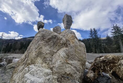
Drau cycle trail
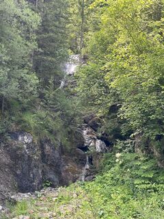
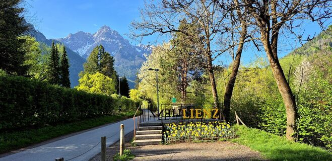
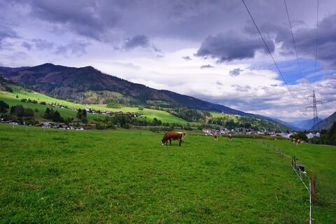
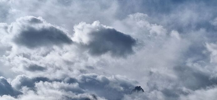
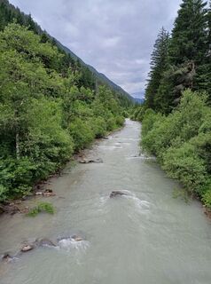
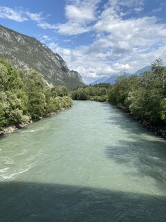
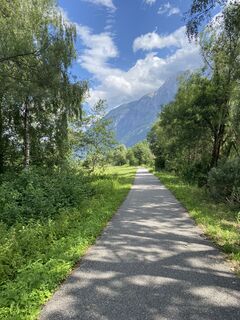
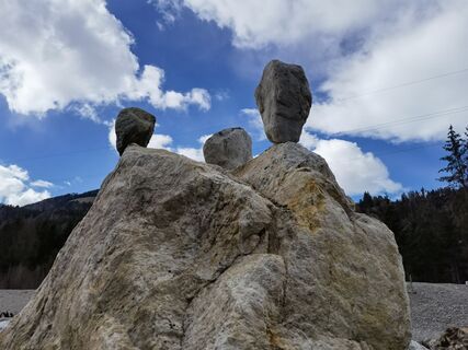
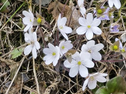
Fotografije naših uporabnikov
-
 © Kreva89Ustvarjeno na 24.06.2023
 -
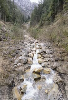
 © Thomas SchekiraUstvarjeno na 18.04.2026
 -
 © Thomas SchekiraUstvarjeno na 17.04.2026
 -
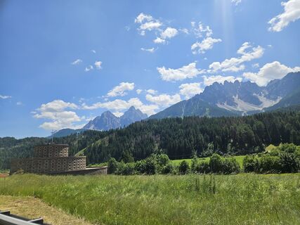
 © Walter KöllnerUstvarjeno na 22.09.2025
 -
 © Walter KöllnerUstvarjeno na 22.09.2025
 -
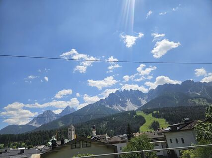
 © Walter KöllnerUstvarjeno na 22.09.2025
 -

 © Alois HörbingerUstvarjeno na 14.09.2025
 -
 © Alois HörbingerUstvarjeno na 14.09.2025
 -
 © Alois HörbingerUstvarjeno na 14.09.2025
 -

 © Tamara MayrhoferUstvarjeno na 23.07.2025
 -
 © Herbert ZechmeisterUstvarjeno na 16.06.2025
 -

 © Matej Mikus 1Ustvarjeno na 29.07.2024
 -
 © Matej Mikus 1Ustvarjeno na 28.07.2024
 -
 © Matej Mikus 1Ustvarjeno na 28.07.2024
 -

 © Toni FeistritzerUstvarjeno na 23.06.2022
 -
 © Toni FeistritzerUstvarjeno na 23.06.2022
 -
 © Toni FeistritzerUstvarjeno na 23.06.2022
 -
 © Toni FeistritzerUstvarjeno na 23.06.2022
 -
 © ReinspergerUstvarjeno na 09.04.2023
 -
 © ReinspergerUstvarjeno na 09.04.2023
 -
 © ReinspergerUstvarjeno na 09.04.2023
 -
 © ReinspergerUstvarjeno na 09.04.2023
 -
 © ReinspergerUstvarjeno na 09.04.2023
 -
 © ReinspergerUstvarjeno na 09.04.2023
 -
 © ReinspergerUstvarjeno na 09.04.2023
 -
 © ReinspergerUstvarjeno na 09.04.2023
 -

 © Walter TinkhauserUstvarjeno na 14.10.2025
 -
 © Hallein1Ustvarjeno na 22.06.2025
 -
 © Hallein1Ustvarjeno na 22.06.2025
 -
 © Hallein1Ustvarjeno na 22.06.2025
 -

 © Magnus MoserUstvarjeno na 01.08.2024
 -
 © Magnus MoserUstvarjeno na 01.08.2024
 -

 © Mi HaoUstvarjeno na 17.02.2024
 -
 © Mi HaoUstvarjeno na 17.02.2024
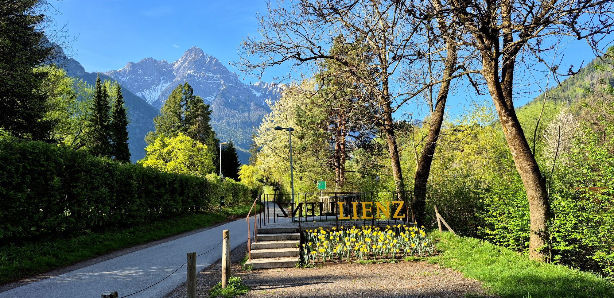
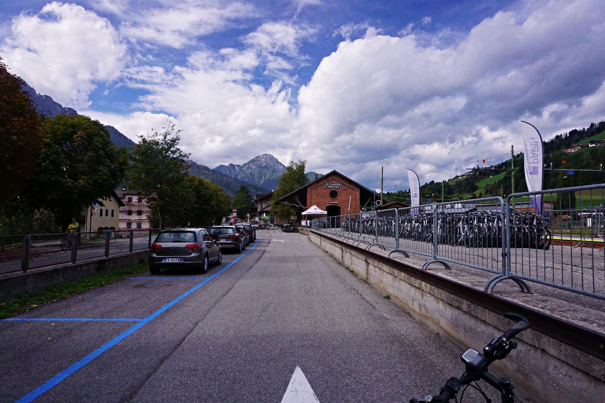
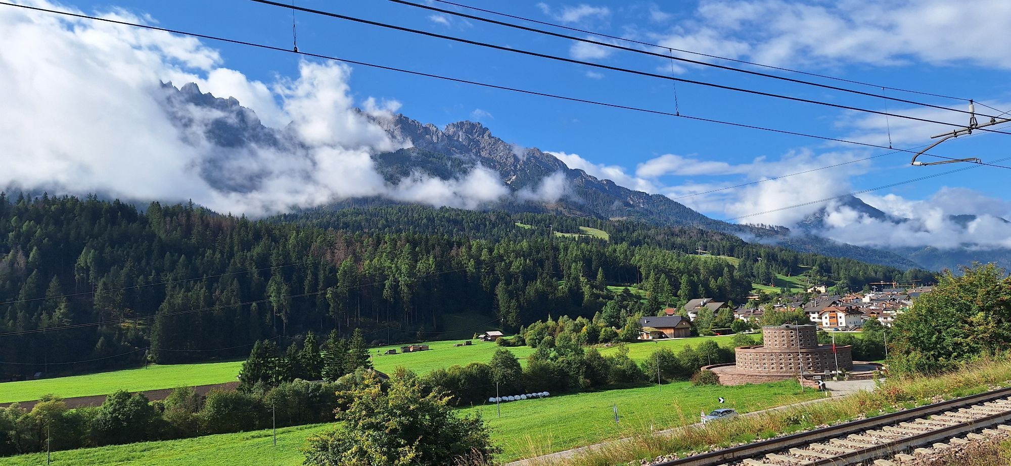

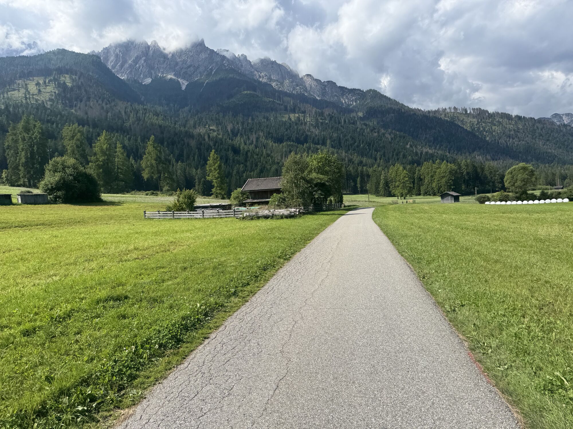
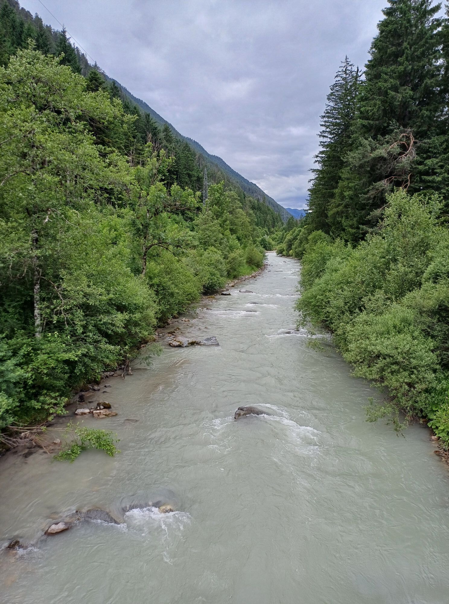
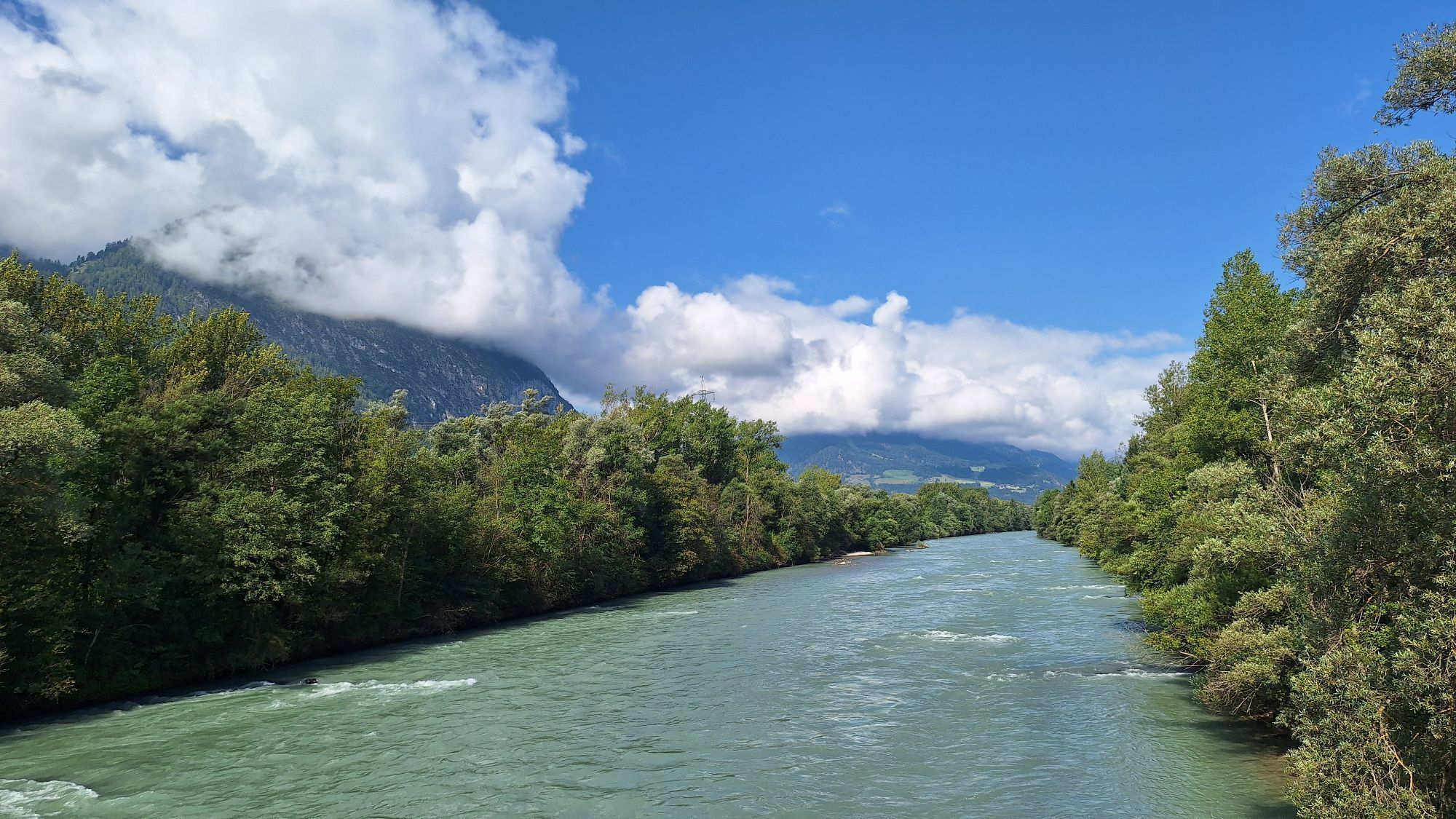
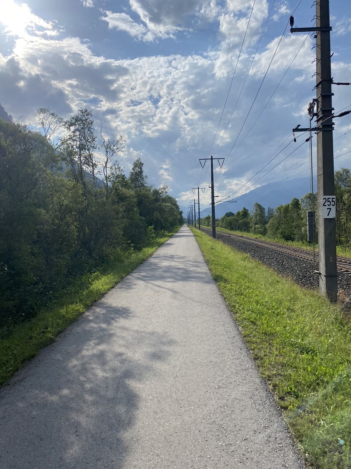

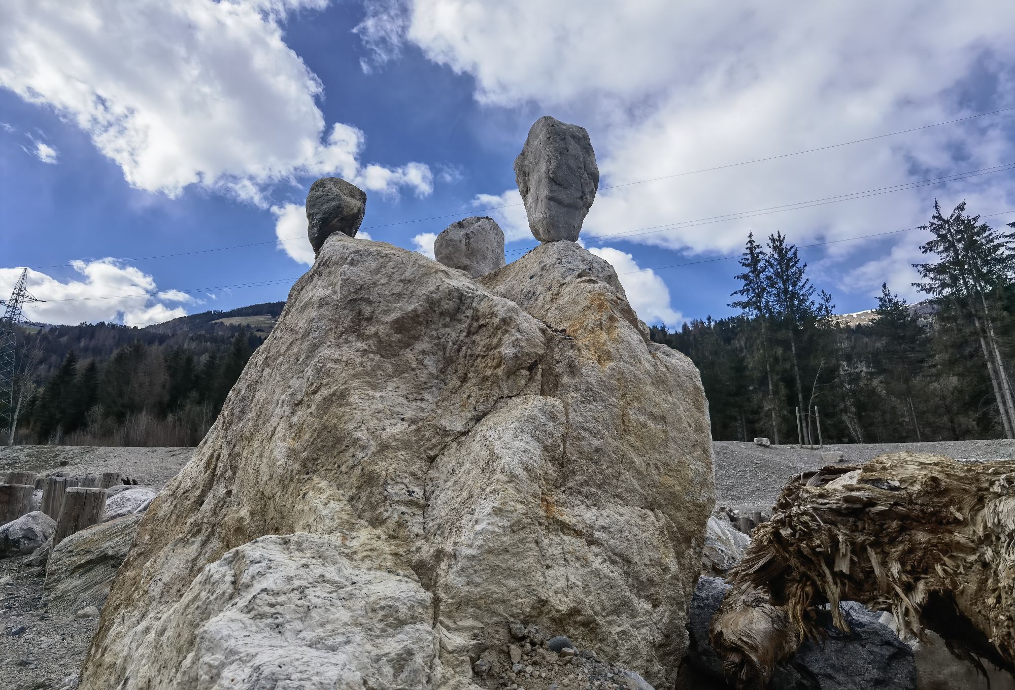


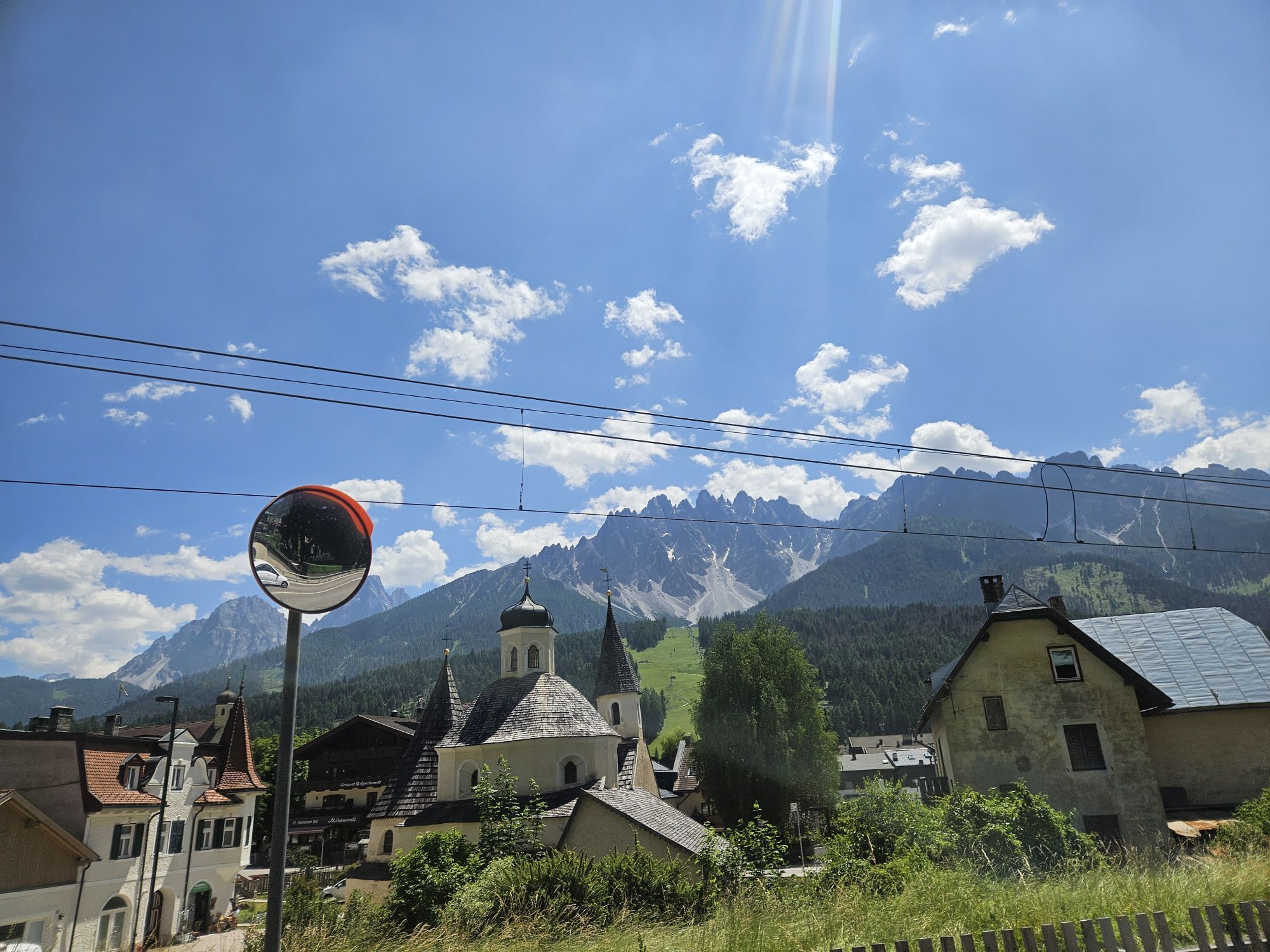
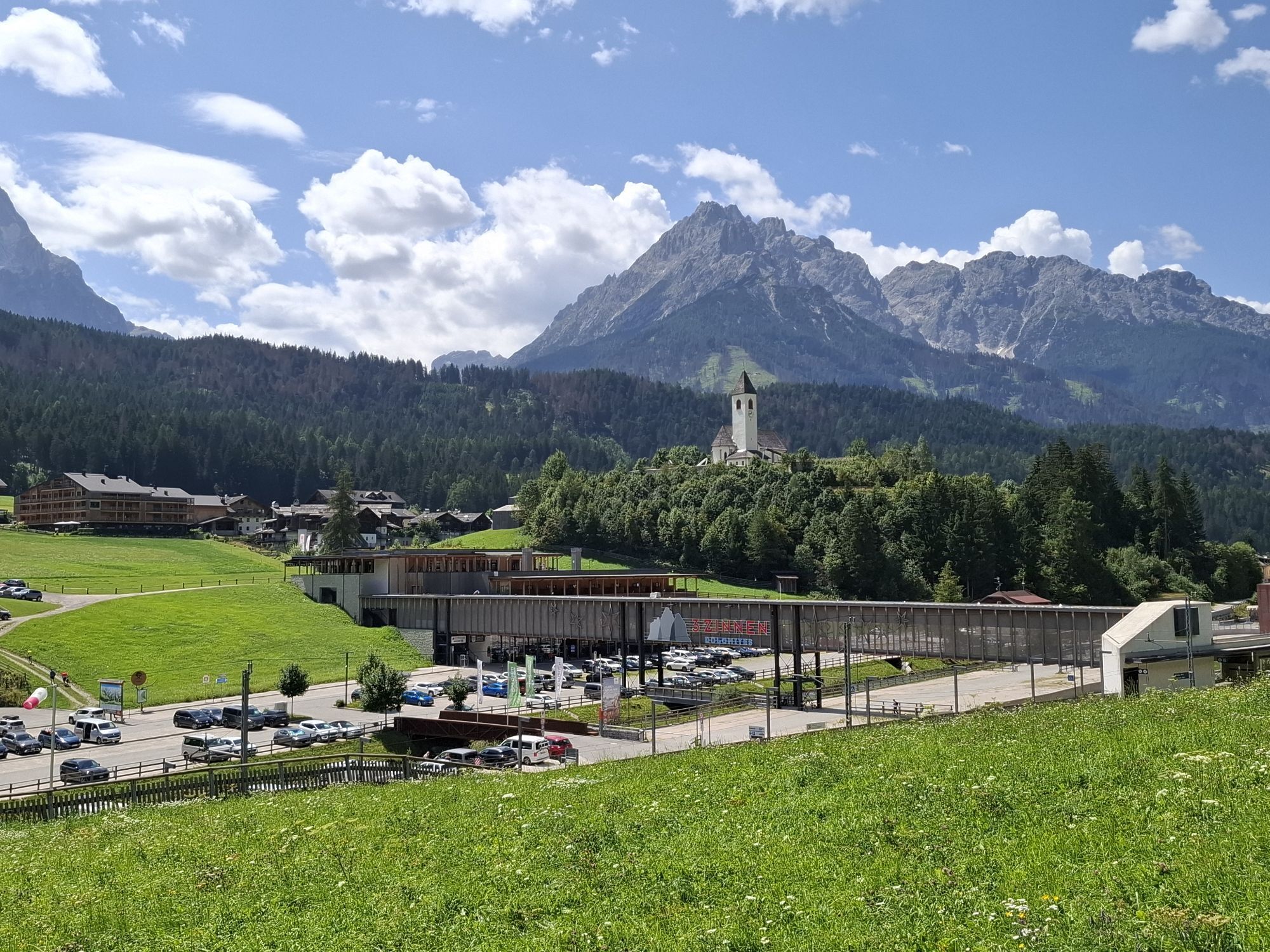

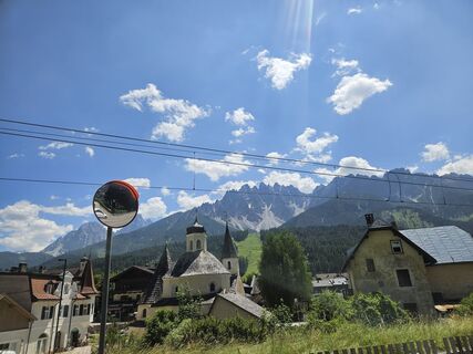
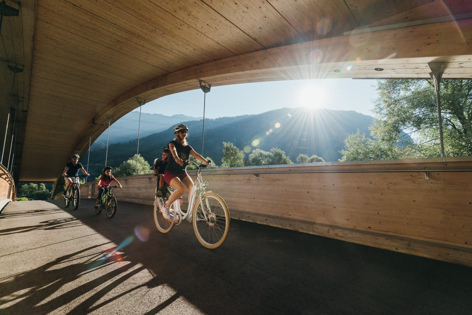
With around 510 kilometres of cycle paths, the Drau Cycle Path is one of the most beautiful cycle paths in Europe. The basis for this is not only the scenic delights, but also the many specialised hosts...
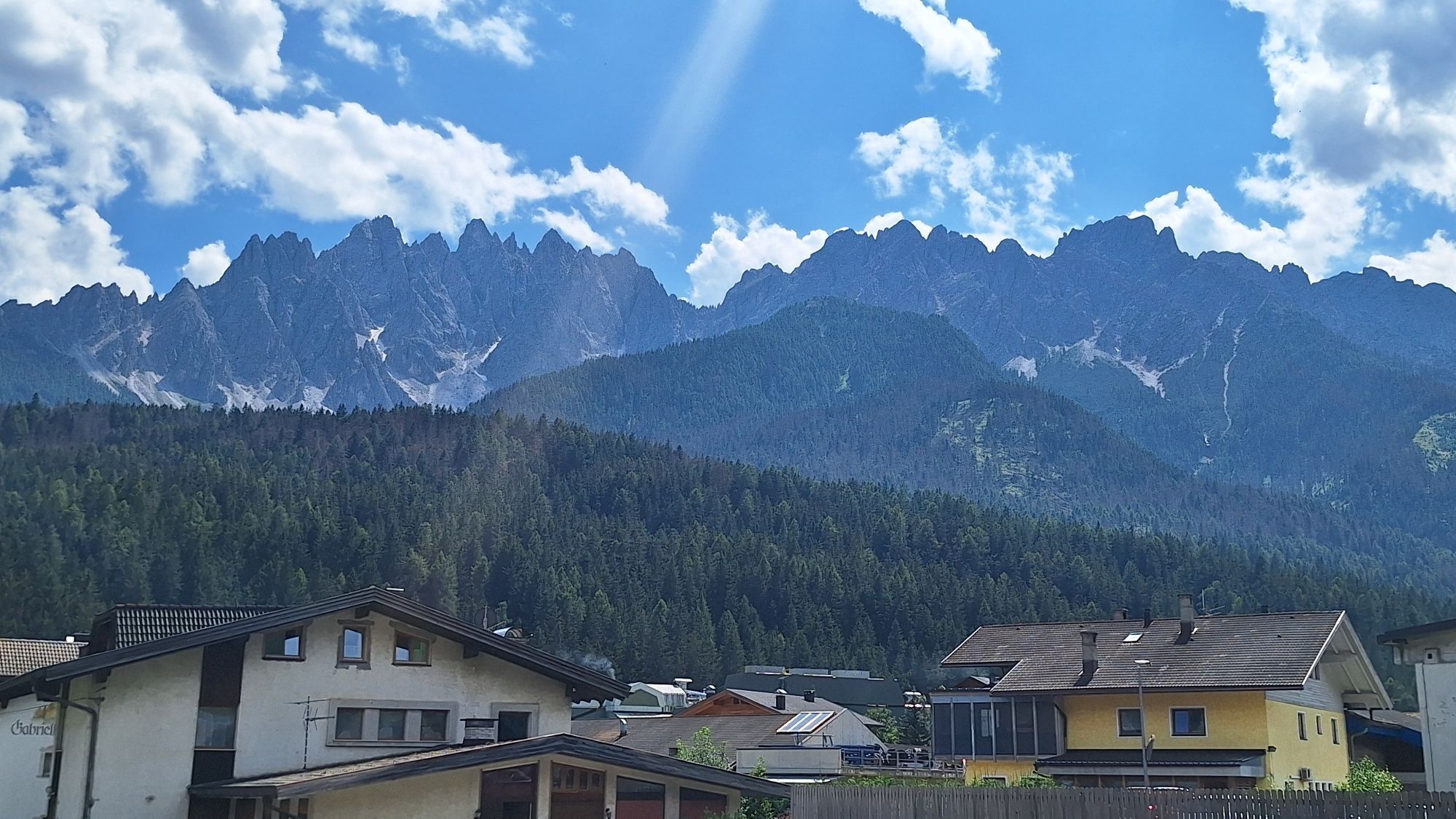
With around 510 kilometres of cycle paths, the Drau Cycle Path is one of the most beautiful cycle paths in Europe. The basis for this is not only the scenic delights, but also the many specialised hosts along the route. The cycle tour leads along a well-marked cycle path and is suitable for all types of bikes. The tour is recommended for families with children as well as novice cyclists. A beautiful, family-friendly cycle route on a gentle slope along the Drau river through the Pustertal valley, through the villages of Sillian and Abfaltersbach, with views of the Lienz Dolomites on the right, through the Galitzenklamm gorge to the district capital of Lienz, continuing along the beautiful Drau floodplain to the Carinthian border.
Coming from Lienz, drive in the direction of Sillian. Continue there until you reach Toblach.
Take the train to Dobbiaco station.
Dobbiaco train station.
Spletne kamere s turneje
-
Hochsteinhütte
-
Zettersfeld /Obergaimberg
-
Helm-Plateau
-
Lienz/Zettersfeld
-
Lienz Hauptplatz
-
Tristachersee
-
Anras / Tritsch
-
Sillianberg
-
Innichen - Il Tyrol****s
-
Amlach - Naturrodelbahn Lienzer - Dolomiten
-
Bergstation Gondelbahn Sillian
-
Bergstation Ausservillgraten
-
Sillian
-
Hollbruck
-
Bergstation 6er-Sesselbahn
-
Helm-Plateau
-
Helm-Plateau
-
Helm-Plateau
-
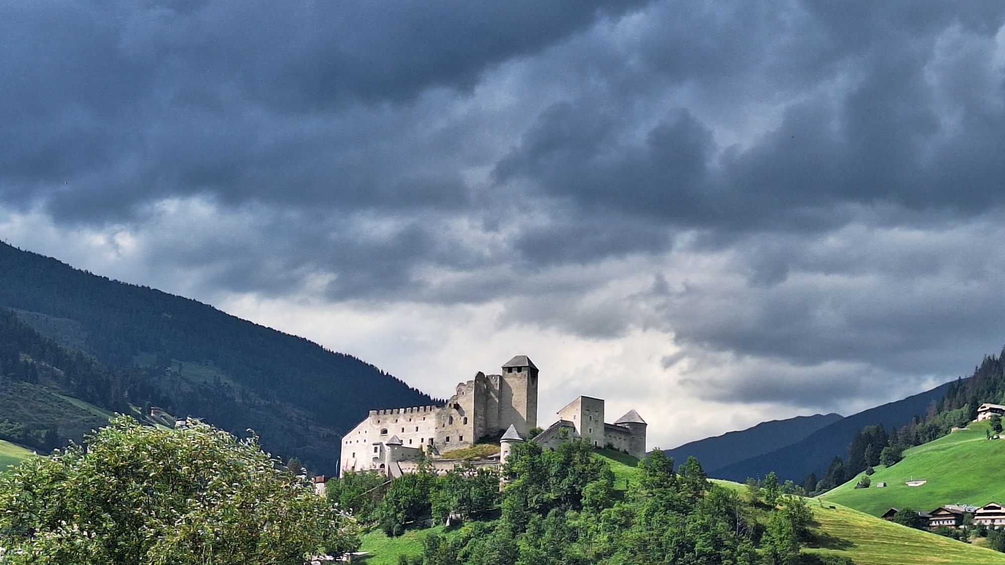
Burg Heinfels
-
Bergstation Haunold
-
Bergstation Haunold
-
Bergstation Haunold
-
Bergstation Haunold
-
Bergstation Haunold
-
Bergstation Haunold
-
Bergstation Haunold
-
Ederplan
-
Apparthotel Germania – Blick auf das Höhlensteintal
-
Marktgemeinde Oberdrauburg
-
Kartitsch / Monte
-
Lienz Faschingalm
-
Toblach Ratsberg
-
Talstation Porzen
-
Talstation Porzen
-
Talstation Porzen
-
Hotel Baur am Toblachersee
-
Heinfels
-
Romantik Hotel Santer****
-
Dolomitenhütte
-
Camping Seewiese
Dejavnosti na poti
-
Panzendorf, Tirol/Österreich
12.04.2026 – Pohodništvo -

Lienz
04.09.2025 – Kolesarjenje -

Drauradweg Etappe 1: Toblach-Lienz
15.07.2025 – Kolesarjenje -
Halbmarathon Lienz
13.07.2024 – Pohodništvo -

Von Panzendorf nach Lienz
19.05.2024 – Pohodništvo -
Von Toblach nach Anras
19.05.2024 – Pohodništvo -
Fahrradtour
09.04.2023 – Kolesarjenje -
Lienz Radfahren
09.04.2023 – Kolesarjenje
Priljubljeni izleti v okolici
-
4.5
Kartitsch-Obstansersee Hütte
srednjaPohodništvo 13.1 km -
5.0
Porzehütte (1.942 m)
svetlobaPohodništvo 9.01 km -
4.8
Sillianer Hütte 2.447 m
srednjaPohodništvo 16.8 km -
4.4
Böses Weibele - Pustertaler Höhenweg
srednjaPohodništvo 13.2 km -
4.2
Connyalm (2.070 m)
Pohodništvo 6.36 km -
5.0
Carnic altitude trail. Stage 4: Porzehütte – Hochweißsteinhaus
težkoPohodništvo 17.5 km -
5.0
Tuffbad - Guggenberger Sattel - Samalm - Tuffbad
srednjaPohodništvo 12.2 km -
3.8
Karnischer Höhenweg KHW 403 - "Weg des Friedens"
srednjaPohodništvo 46.7 km -
2.0
Porzehütte/Tilliacher Joch am Karnischen Kamm
srednjaMountainbike 8.99 km -
5.0
Karnischer Höhenweg – Etappe 2: Obstansersee Hütte – Porzehütte
težkoPohodništvo v daljavo 12.0 km
Pohodništvo in sledenje


Ne zamudite ponudb in navdiha za naslednje počitnice
Vaš e-poštni naslov je bil dodan na poštni seznam.