






Mountain hike onto the „Rudlhorn (2448m)“
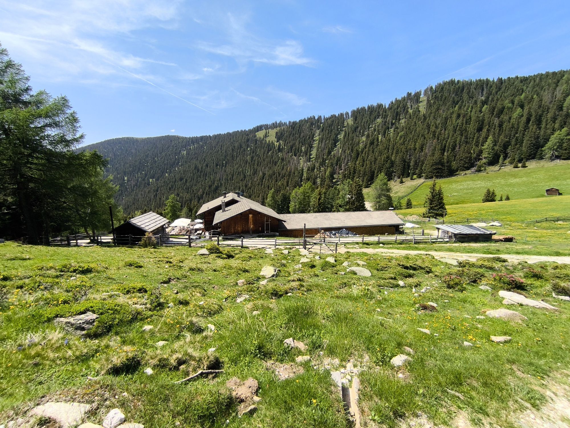
Reach the mountain restaurant Mudler (1622m, refreshment point) by car and leave your vehicle in the nearby parking area. On the wide driveway, find the path numbered 38 A, and in a slight ascent reach...
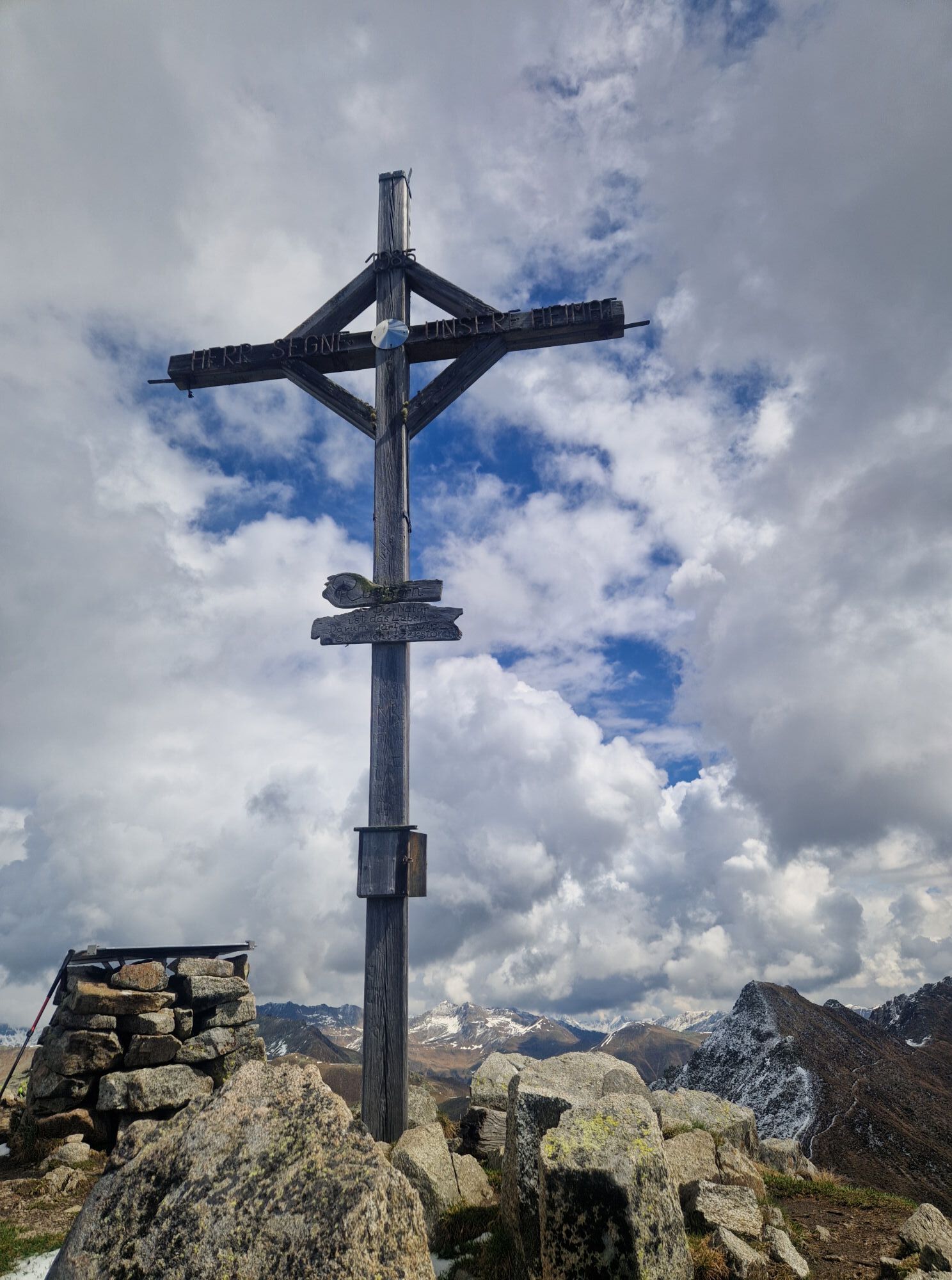
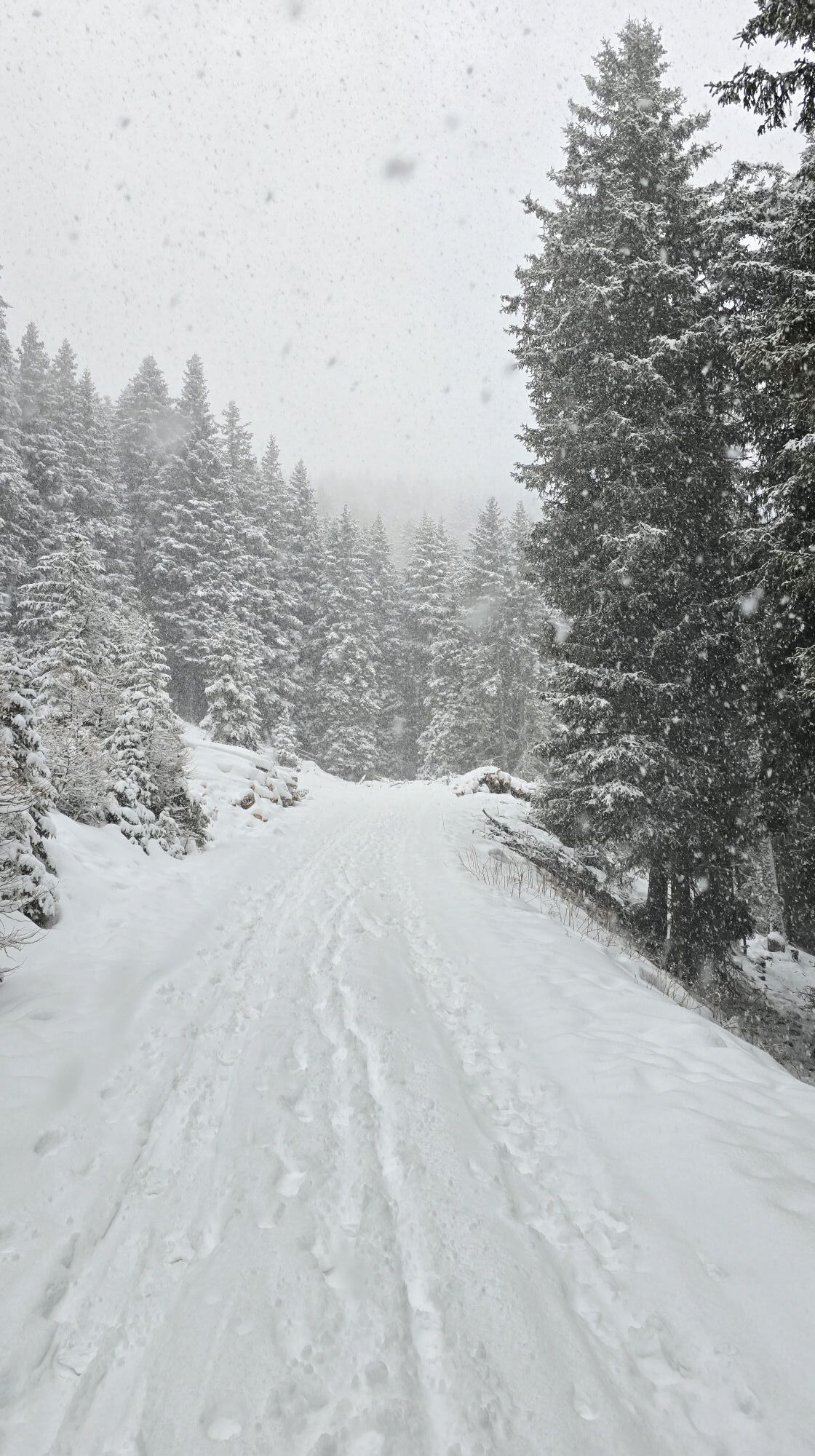
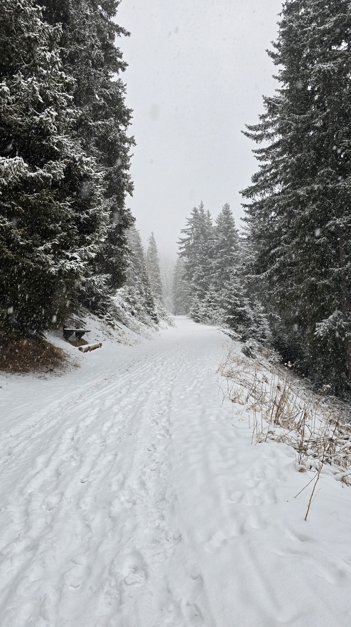
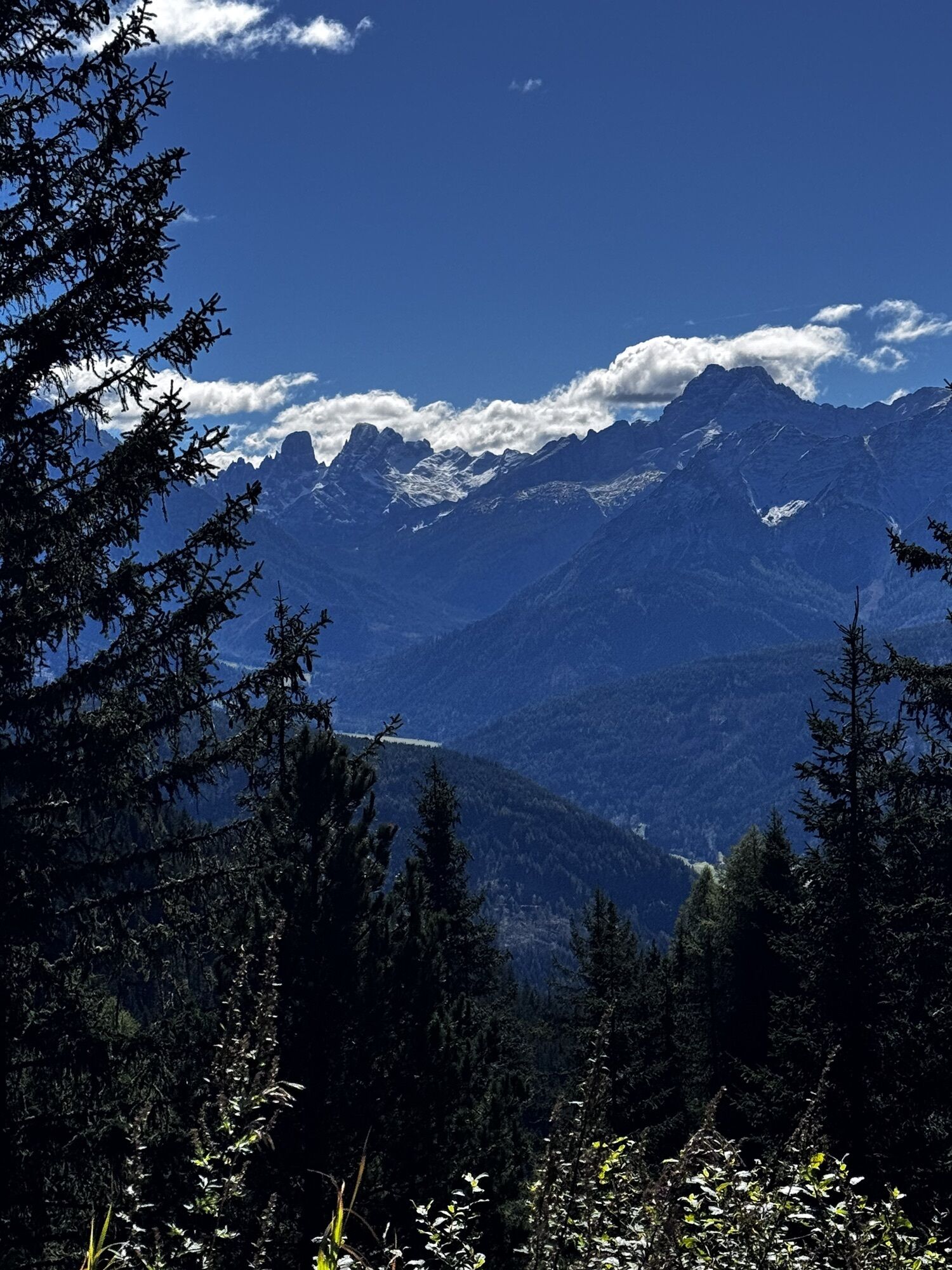
Reach the mountain restaurant Mudler (1622m, refreshment point) by car and leave your vehicle in the nearby parking area. On the wide driveway, find the path numbered 38 A, and in a slight ascent reach the Taistner VorderAlm (2012m, refreshment point). Once there, continue on the wide road, briefly following the path no. 38 upwards, and then turn right into a marked route across grassy slopes and the grassy mountain ridge in eastward direction upwards to the rocky ridge of the summit. In a medium-steep climb hike along the partly exposed ridge (no noteworthy difficulties) to the summit at 2448 m above sea level. Return: from the Rudlhorn, descend into a little hollow of the ridge between the Rudlhorn and the Eisatz (2388m), from there, continue downwards on the marked trail (climb tracks) across grassy terrain and some steep slopes all the way to the Taistner Vorderalm (2012m, refreshment point).

 Pridobite vpogled Vedno v živo na mestu z več kot 9.500 spletnimi kamerami. bergfex Kot uporabnik Pro si lahko zdaj ogledate ustrezne spletne kamere za številne izlete v aplikaciji izleti iz. Tako si lahko neposredno ogledate trenutne razmere.
 Dejavnosti na poti

Welsberg - Taisten, Trentino-Südtirol/Italien
23.02.2026 – Pohodništvo
Welsberg - Taisten, Trentino-Südtirol/Italien
22.02.2026 – Pohodništvo
Monguelfo-Tesido Gehen
14.02.2026 – SprehodRasen - Antholz, Trentino-Südtirol/Italien
20.01.2026 – Pohodništvo
Welsberg - Taisten, Trentino-Südtirol/Italien
07.10.2025 – Pohodništvo
Priljubljeni izleti v okolici
- 4,6
Mountain hike to Mountain „Lutterkopf and Durakopf (2145/2275m)“
srednjaGorski pohodništvo 11,8 km - 4,8
Antholzer See - Steinzger Alm
srednjaPohodništvo 7,48 km - 4,6
Rund um den Schwarzberg in die Bergwelt vom Pragser Wildsee
srednjaPohodništvo 9,59 km - 4,8
Seerunde
svetlobaPohodništvo 2,66 km - 5,0
Rote Wand
srednjaVisokogorska tura 12,0 km - 4,9
Rund um den Antholzer See
svetlobaPohodništvo 4,27 km - 4,7
Rund um den Seekofel
težkoPohodništvo 16,6 km - 4,7
Von Kalkstein auf das Toblacher Pfannhorn (2.663 m) und Marchkinkele
srednjaPohodništvo 14,2 km - 4,9
Dolomiten - Seekofel 2.810m - Tiefblick zum See
srednjaGorski pohodništvo 23,5 km - 4,4
Rundtour Gönneralm und Erdpyramiden
srednjaGorski pohodništvo 8,08 km
Pohodništvo in sledenje


Ne zamudite ponudb in navdiha za naslednje počitnice
Vaš e-poštni naslov je bil dodan na poštni seznam.





