


Haid circuit


Fotografije naših uporabnikov
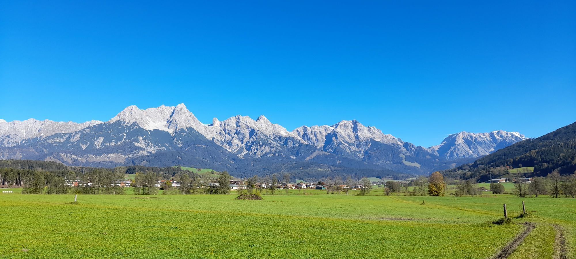
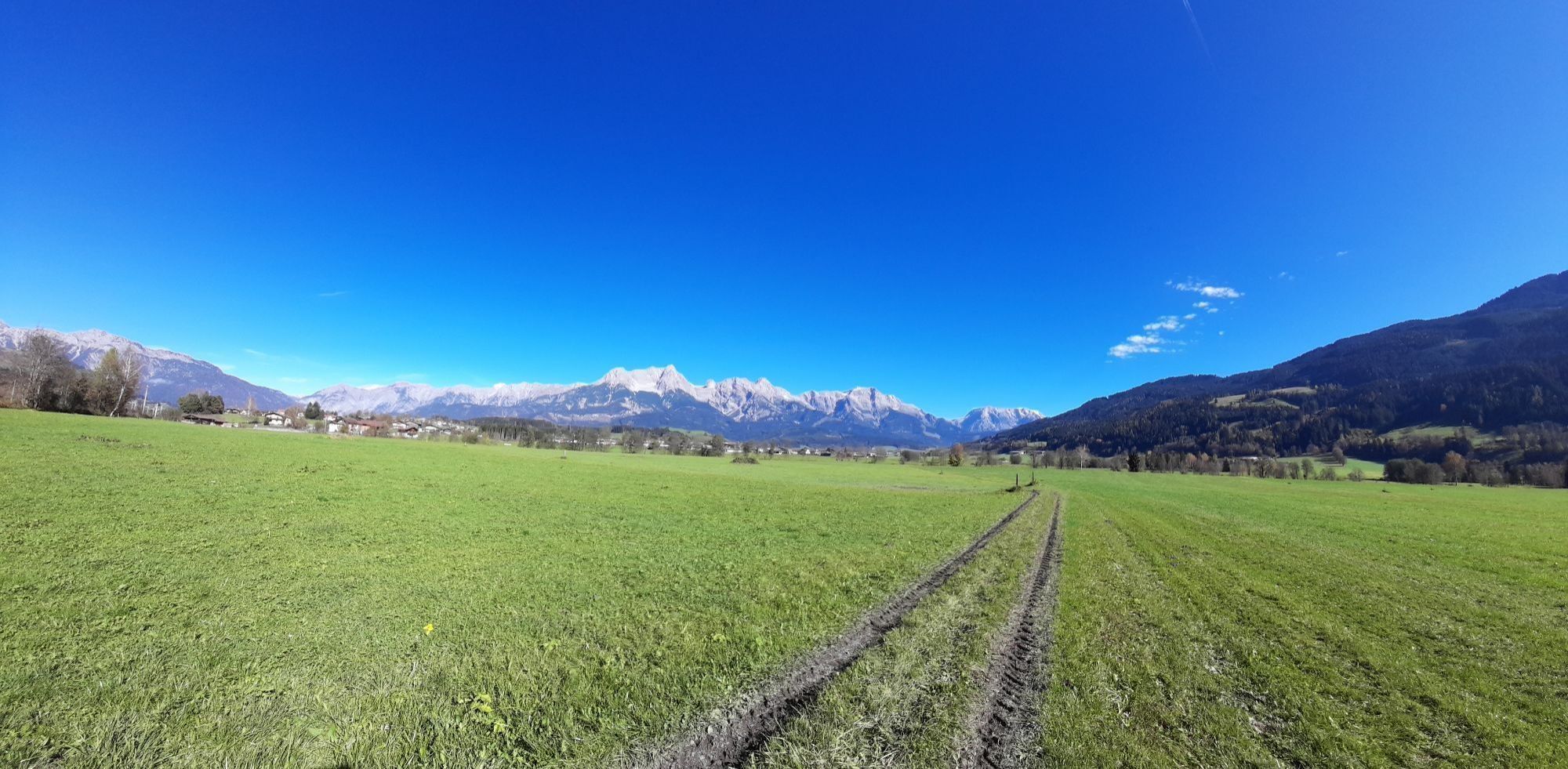
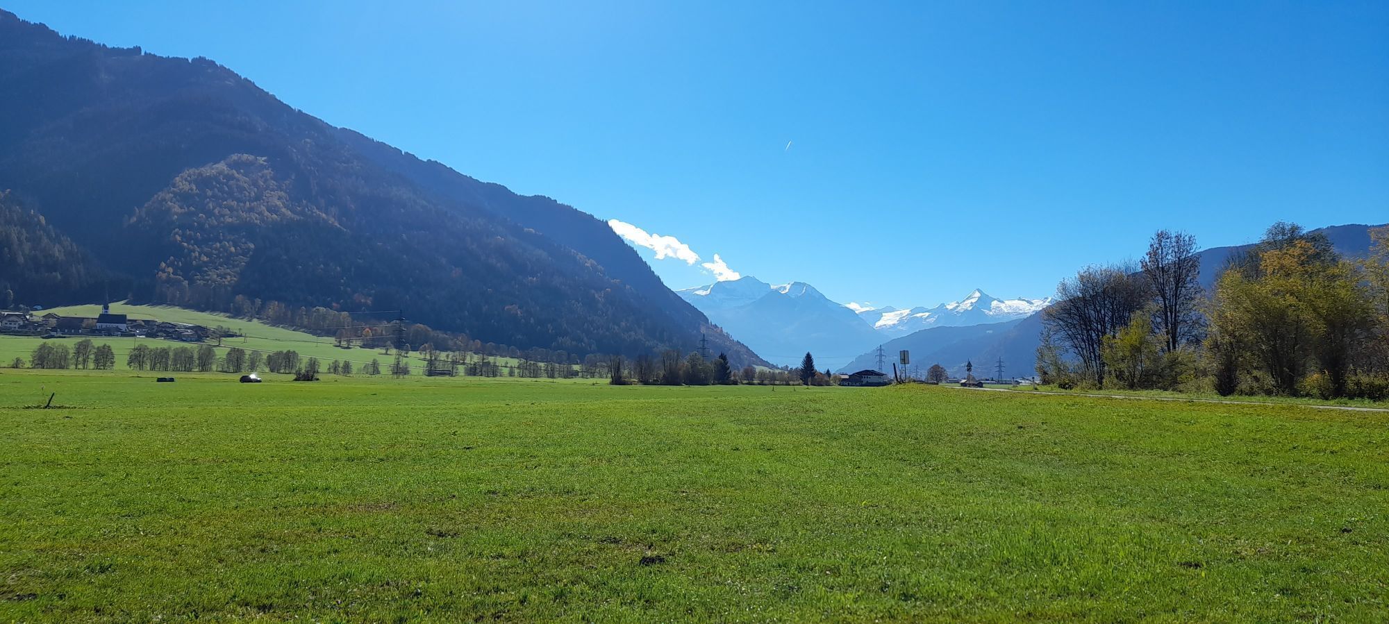
Varied hike through the Saalfelden districts Breitenbergham, Haid, and Pfaffenhofen. Very long route with little incline. Great panorama of the surrounding mountains.

The hike begins at the shore of Ritzensee. Follow the hiking trail along the lakeshore until you meet the road at Kollingwald, turn right, then immediately left towards Breitenbergham. Follow the road through Kollingwald and then through the district of Breitenbergham until you reach the Grünwaldwirt inn (Breitenbergham 6, 5760 Saalfelden). Turn left at the inn and follow the path for 1.7 km through the railway underpass and over the Saalach river until you reach the district of Haid. After passing the premises of a construction company on the left, turn left and follow the road for about 200 m to the next intersection, then turn left again. Continue holding left and leave Haid on the gravel road. After 500 m the path goes between the two farms Unterstockinghof and Oberstockinghof. Turn right behind the farms and follow the path for 2.6 km to Pfaffenhofen. At the intersection in Pfaffenhofen turn left. After 2.1 km you reach an intersection directly on the shore of the Saalach. Turn right. From here, return along the same route via Breitenbergham, alongside Kollingwald and along the shore of Ritzensee back to the starting point.
Da
BY CAR
Coming on the Pinzgauer Bundesstraße B311 from Zell am See, take the second roundabout to the right towards Maria Alm. Follow the road for about 750 m through Saalfelden town center. Turn right and cross the Brandl bridge towards Ritzensee. Follow the road for about 700 m until Hotel Ritzenhof appears on the left side. The hike starts opposite Ritzenhof at the shore of Ritzensee.
BY TRAIN
You can enjoy your holiday from the start by taking the train. No traffic jam will stop you from reaching Saalfelden Leogang! Additionally, the ÖBB timetable quickly and easily helps you find the ideal train connection to Saalfelden station: www.oebb.at (about a 30-minute walk to the starting point)
BY BUS
The starting point at the parking lot next to Hotel Ritzenhof in Saalfelden can be reached by the Postbus from Saalfelden town center. The bus stop "Saalfelden Ritzensee" is in close proximity to the starting point. More information can be found at https://fahrplan.salzburg-verkehr.at/
Behind Hotel Ritzenhof, there is a public parking lot on the left side.
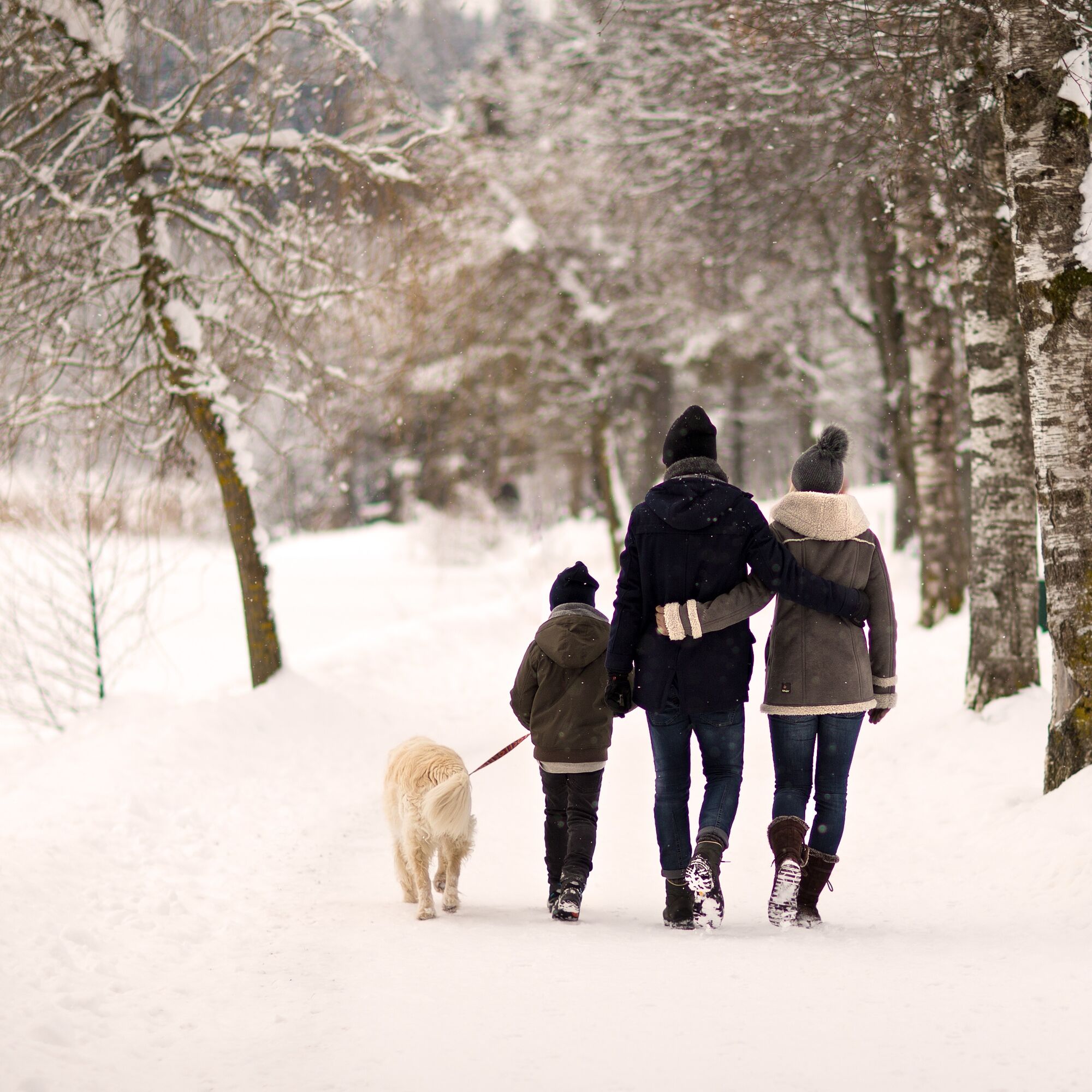
Warm up and enjoy:
After a hike through the snowy winter landscape, the regional delicacies from the eateries in Nordic Park Saalfelden taste twice as good.
Priljubljeni izleti v okolici
- 4,8
Summit stormer route Lauskopf
težkoPohodništvo8,16 km - 4,3
Riemannhaus
težkoPohodništvo3,69 km - 4,5
Birnbachloch Leogang, Österreich
srednjaPohodništvo5,18 km - 4,3
Peter-Wiechenthaler Hut
srednjaPohodništvo4,32 km - 4,5
Lettlkaser
srednjaPohodništvo4,40 km - 4,1
Passauer Hütte
težkoPohodništvo4,14 km - 3,9
Persailhorn South via ferrata
srednjaVia ferrata6,83 km - 4,9
Breithorn
srednjaPohodništvo10,0 km - 4,6
Steinalm
svetlobaPohodništvo2,71 km - 4,4
Birnbachloch
srednjaPohodništvo6,40 km
Pohodništvo in sledenje


Ne zamudite ponudb in navdiha za naslednje počitnice
Vaš e-poštni naslov je bil dodan na poštni seznam.