


Panoramic hike around Dietrichshorn


Fotografije naših uporabnikov
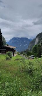
 © Ralf HilprechtUstvarjeno na 08.07.2024
 © Ralf HilprechtUstvarjeno na 08.07.2024
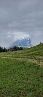 © Ralf HilprechtUstvarjeno na 08.07.2024
 © Stefan Ulrich 1Ustvarjeno na 18.08.2025
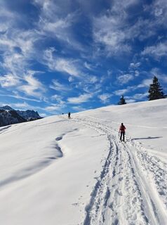
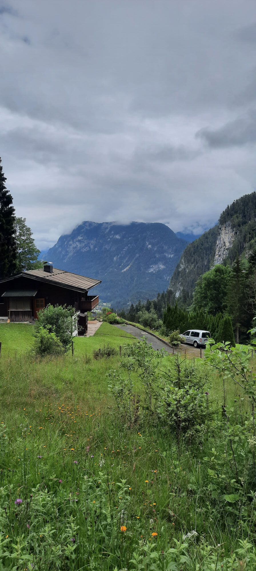
 © Michael RohrmoserUstvarjeno na 28.12.2024
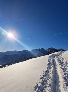 © Michael RohrmoserUstvarjeno na 26.12.2024
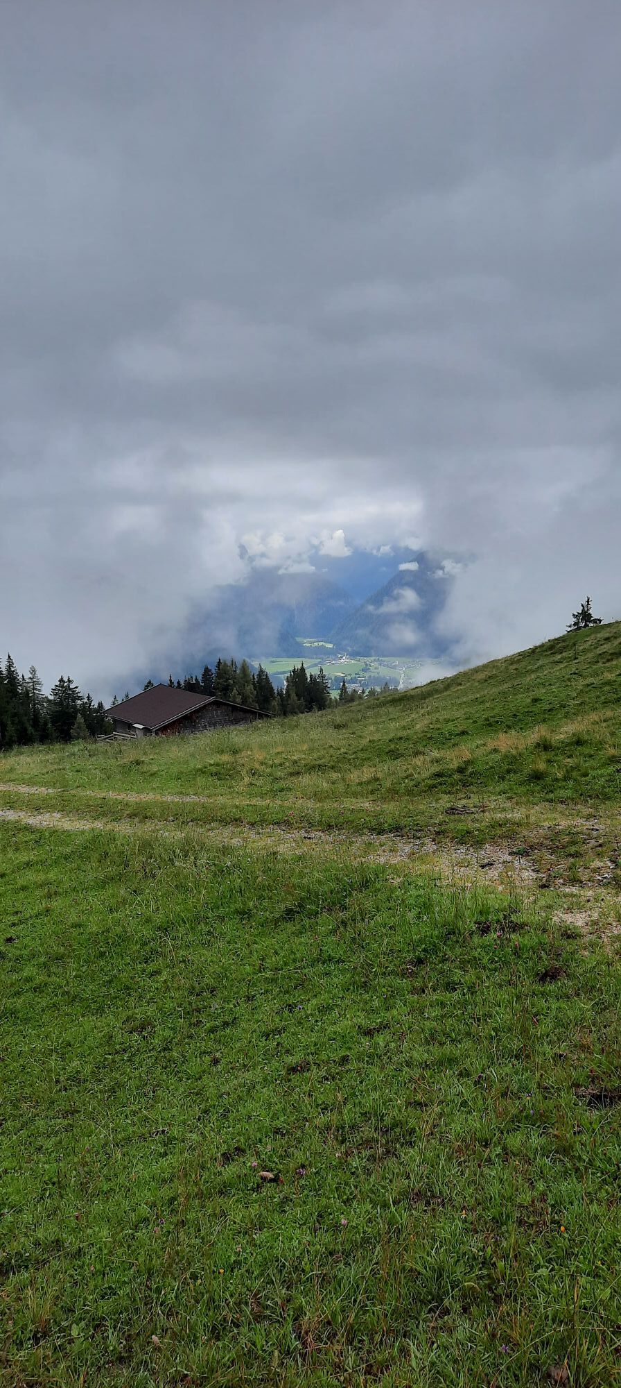
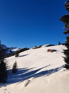 © Michael RohrmoserUstvarjeno na 26.12.2024
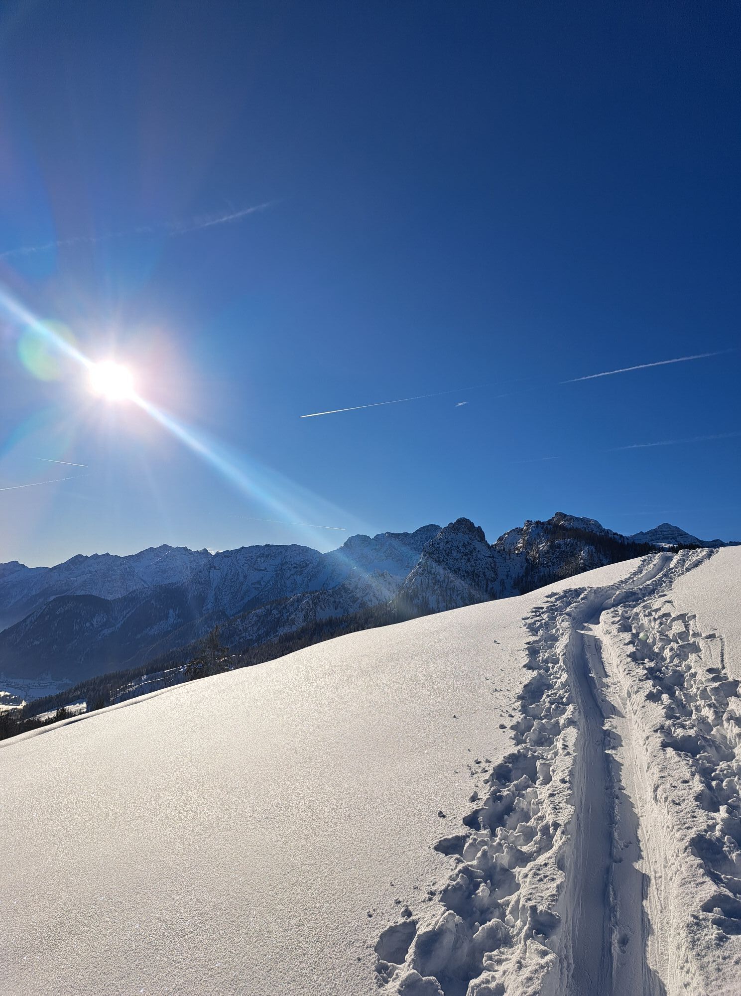
 © Michael RohrmoserUstvarjeno na 26.12.2024


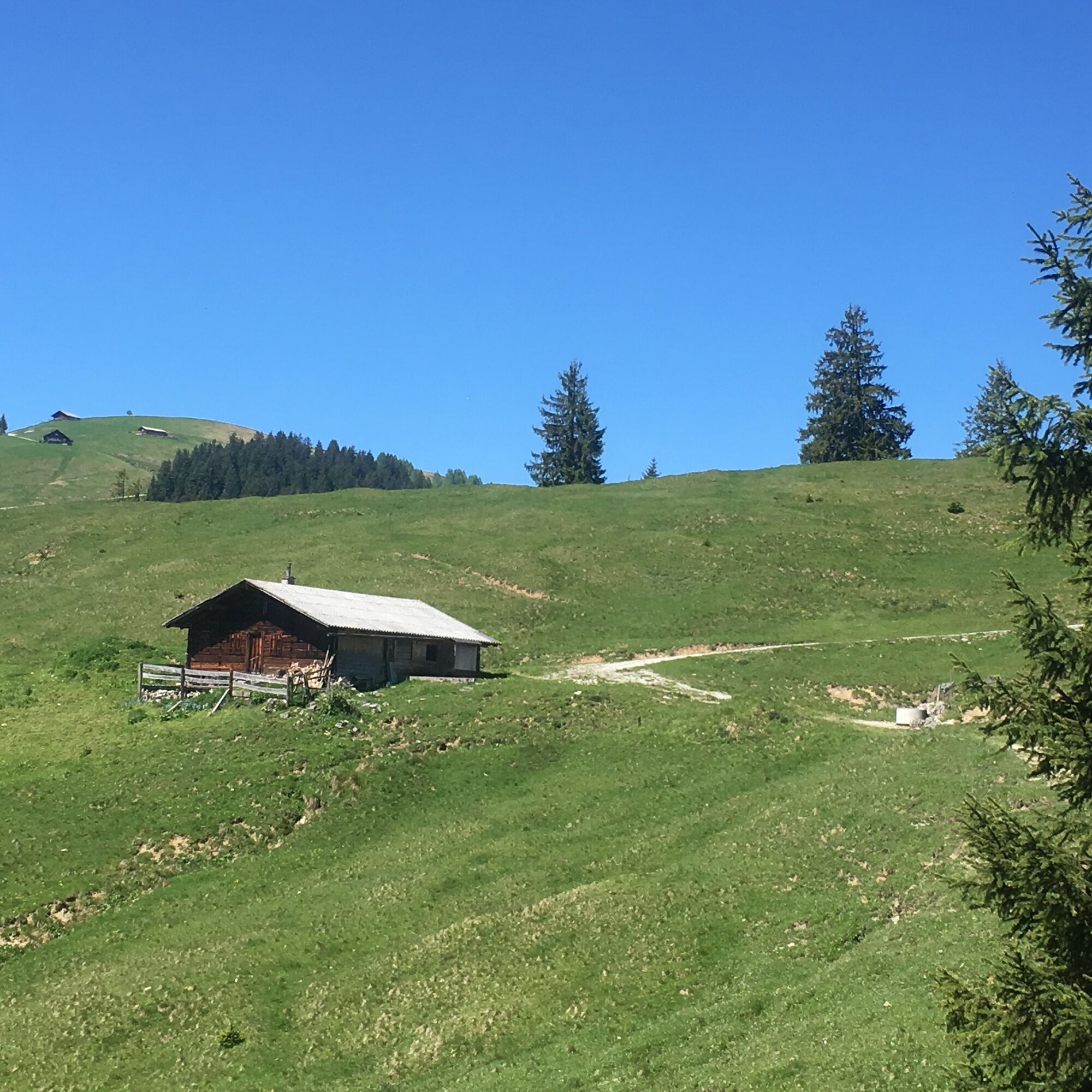
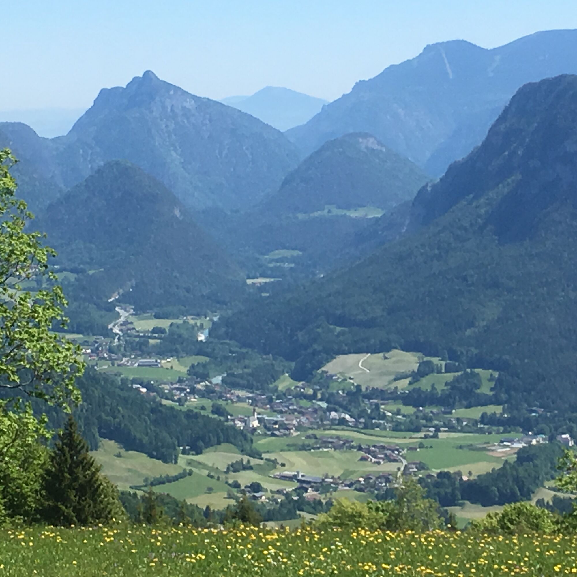
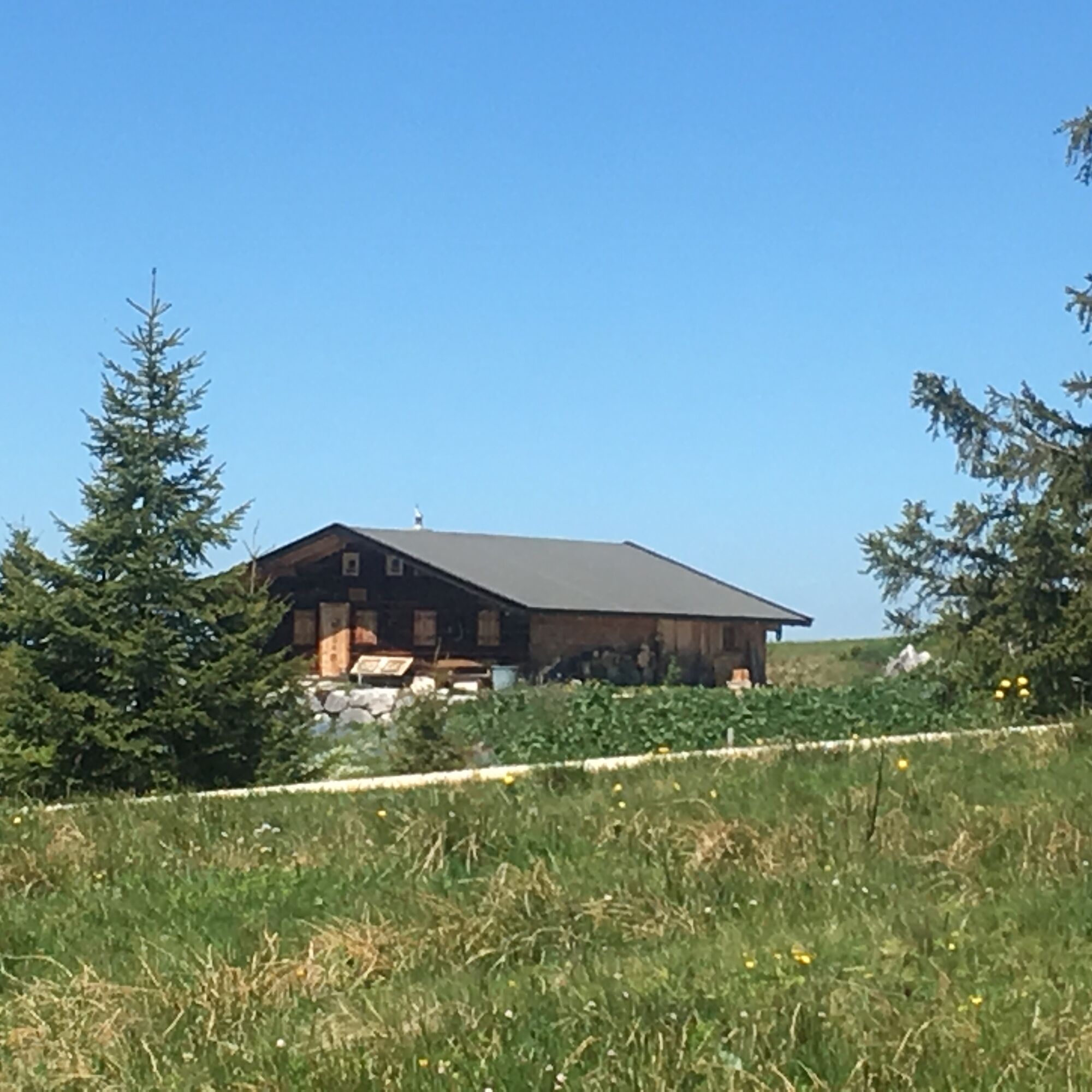
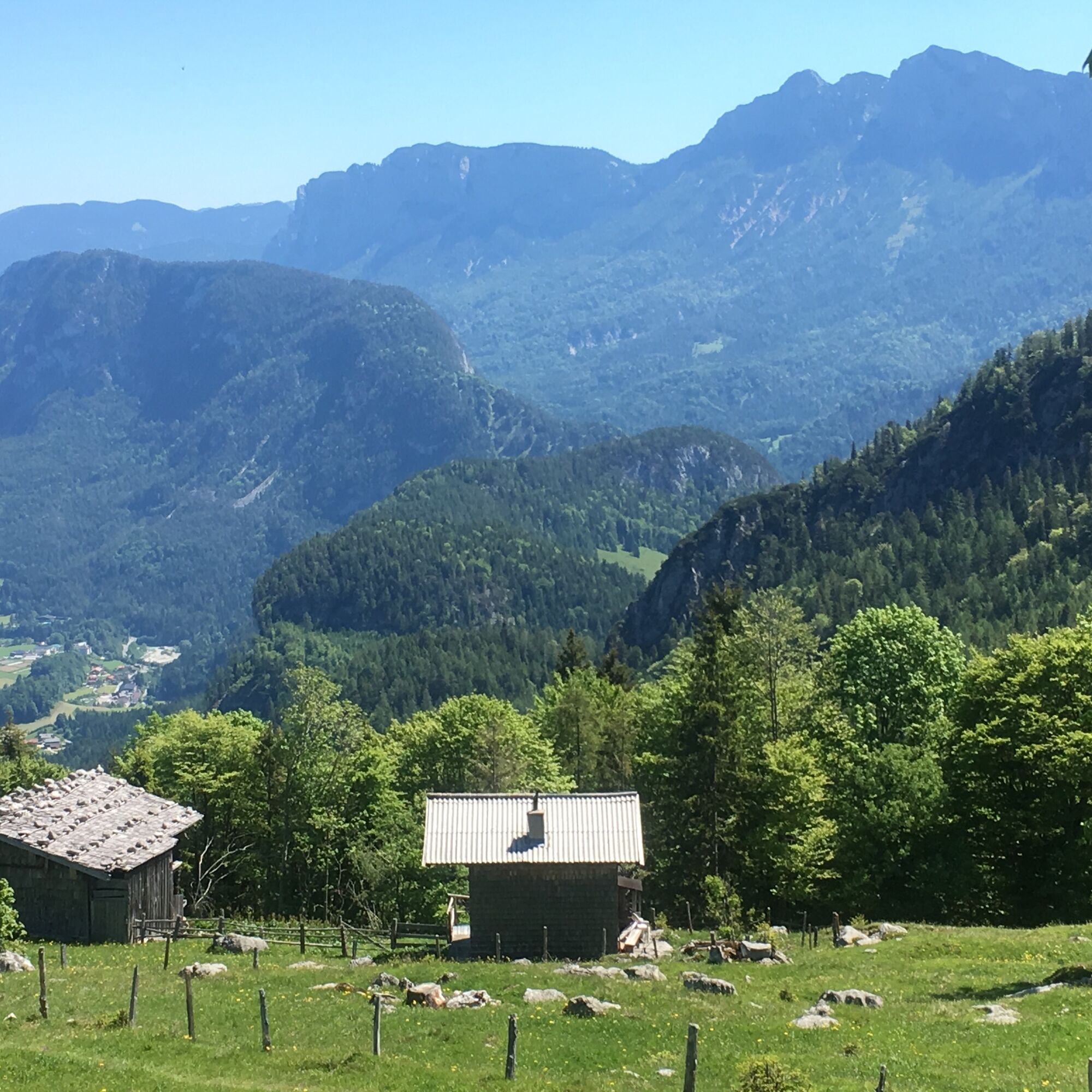
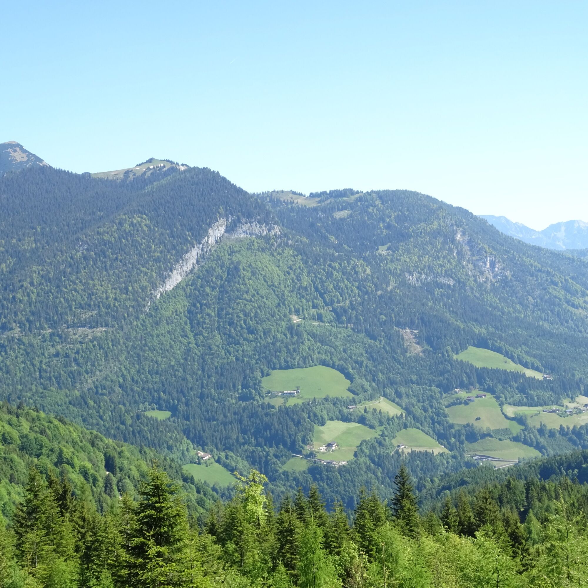
From the parking lot at Unkenberg, the hike first leads along the forest road through beautiful woodland to the Thälernalm junction. Here you follow the somewhat steeper alpine path to the alpine saddle....
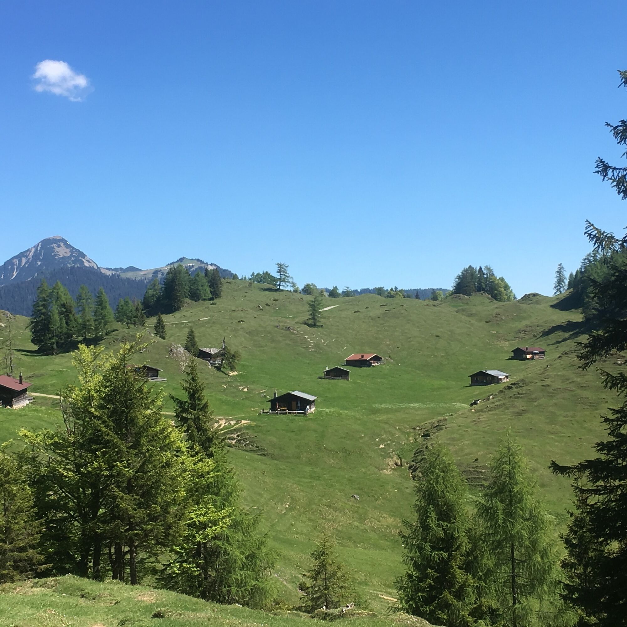
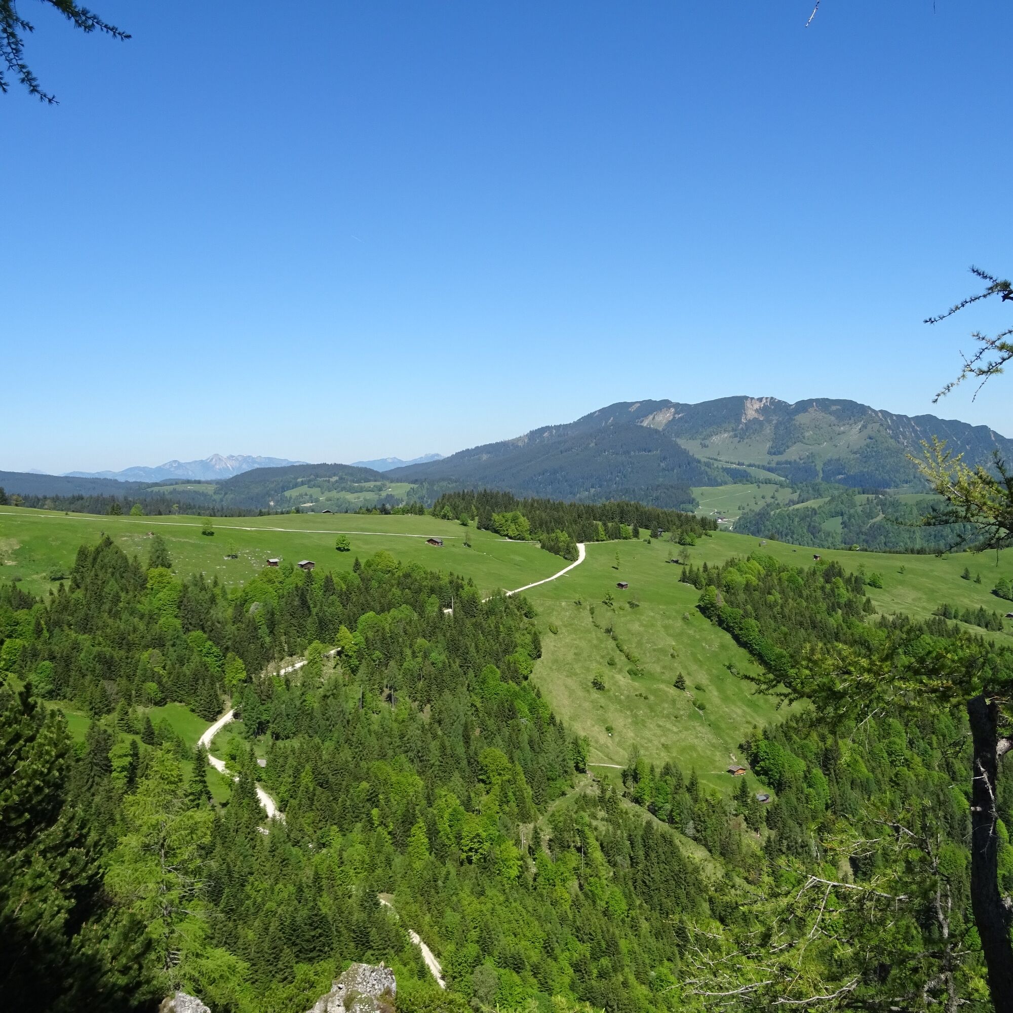
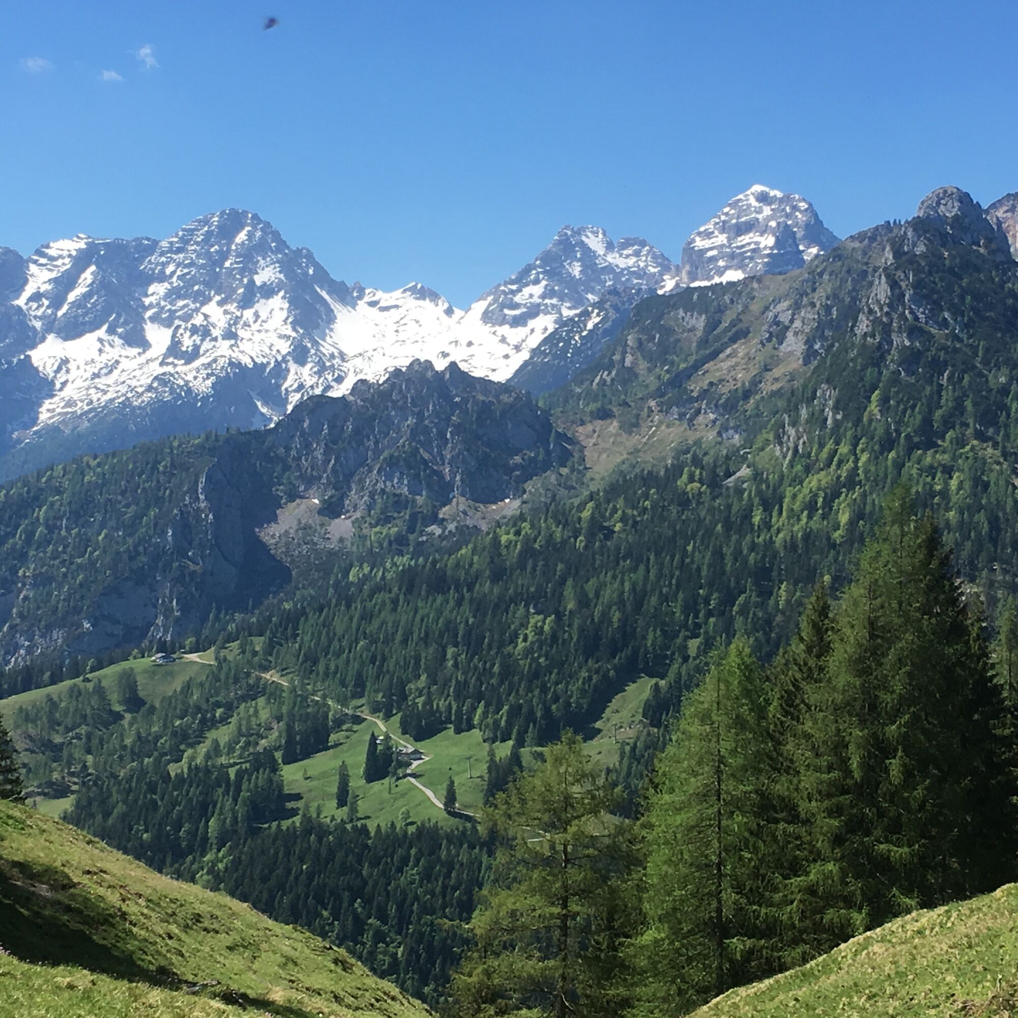
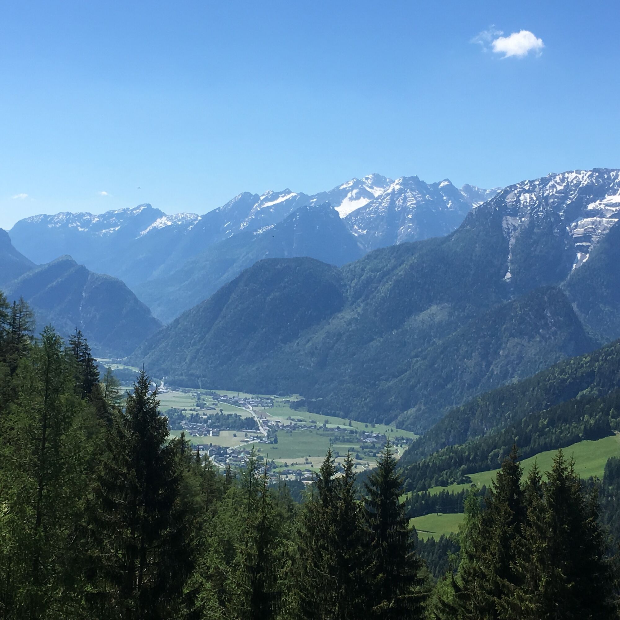
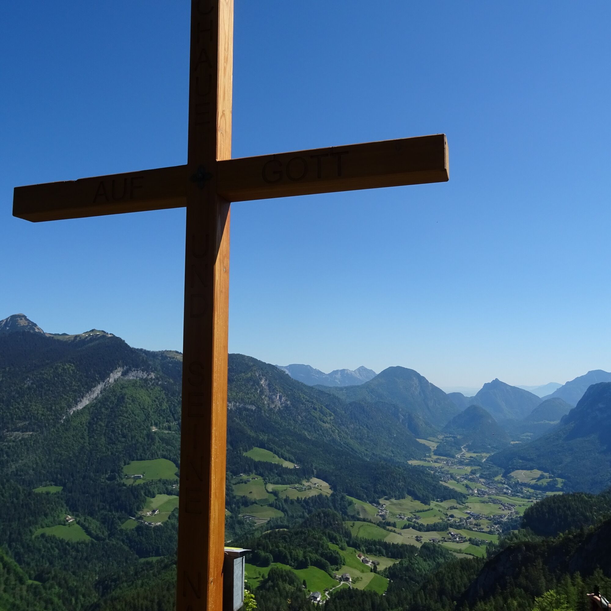
From the parking lot at Unkenberg, the hike first leads along the forest road through beautiful woodland to the Thälernalm junction. Here you follow the somewhat steeper alpine path to the alpine saddle. If you keep left, you reach the Thälernkogel with its new alpine cross. From here you have a wonderful view over the entire valley basin. Across the Thälernalm, the hiking trail now leads you below Dietrichshorn to the Astenalm and to the Hornwiesalm. Those who want can ascend Dietrichshorn here. Otherwise, the path continues to Hoisenhöhe, another magnificent viewpoint. Now it goes downhill again along the alpine path back to the parking lot.


Unkenberg parking lot – Thälernalm - Thälernkogel – Thälernalm – Astenalm – Hornwiesalm – possibly Dietrichshorn – Hoisenhöhe – Unkenberger Mähder – Unkenberg parking lot
Clothing: Comfortable hiking shoes, breathable clothing depending on weather (T-shirt, light pants).
Equipment: Small backpack, sunscreen, hat or cap, mobile phone.
Supplies: Enough water, snacks (energy bars, nuts, dried fruits).
Navigation aids: Map or hiking app.
Others: Light pocket knife or multitool, insect repellent (if needed).
If needed: Rain jacket, sunglasses.
From Unken via the Heutal state road (L251) to the Unkenberg junction. From here the road continues to the last farm. 200 meters later is the parking lot.
By regional bus 260 to Unken (timetable)
Unkenberg hiking parking lot - free of charge
Wonderful panoramic hike – in good weather you have a magnificent view (in all directions)
Priljubljeni izleti v okolici
- 3,2
From Heutal to Sonntagshorn in the Salzburger Saalachtal
srednjaPohodništvo11,7 km - 4,5
Rundweg vom Hintersee zur Halsalm
srednjaPohodništvo9,53 km - 4,2
Halsalm
Pohodništvo6,43 km - 5,0
Sonntagshorn über Hochalm (Unken, Heutalbauer)
srednjaPohodništvo11,2 km - 3,6
Rauschberg Rundwanderung über Sackgrabensteig
svetlobaPohodništvo18 km - 4,9
Blaueishütte
srednjaPohodništvo11,4 km - 2,8
Almerlebnisweg Ramsau
Pohodništvo11,8 km - 3,4
Blaueis - Schärtenspitze
Pohodništvo7,29 km - 4,6
CHIEMGAU: Hörndlwand (1684m), Gurnwandkopf (1691m)
svetlobaPohodništvo12,6 km - 4,4
Unternberg
svetlobaPohodništvo9,20 km
Pohodništvo in sledenje


Ne zamudite ponudb in navdiha za naslednje počitnice
Vaš e-poštni naslov je bil dodan na poštni seznam.