







112 hike St. Margarethen Aineck path - Aineck

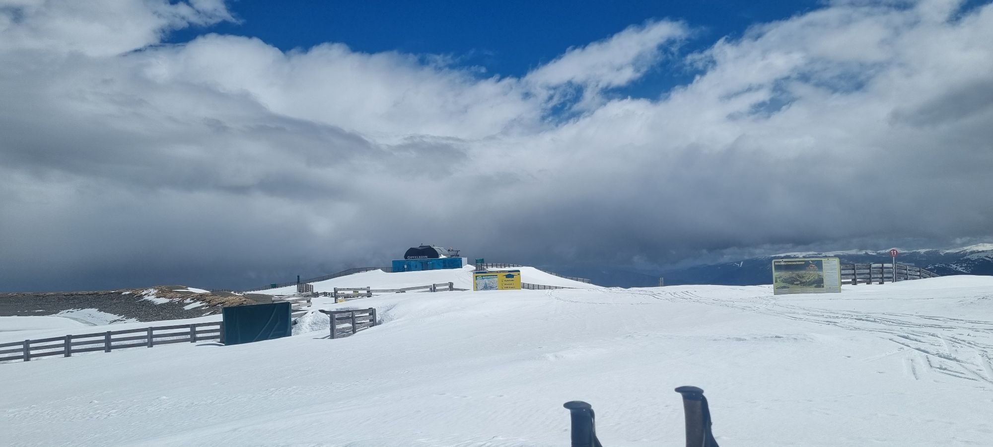

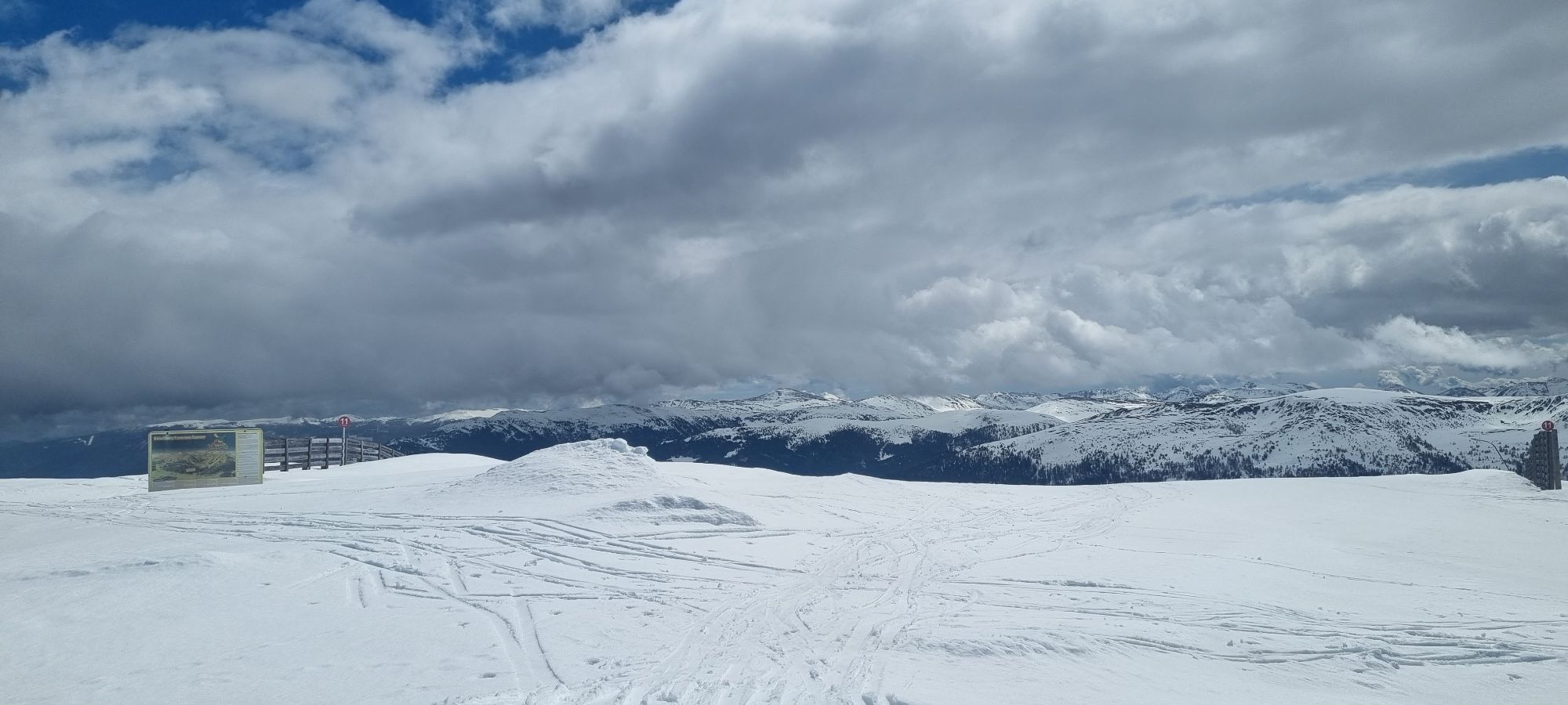
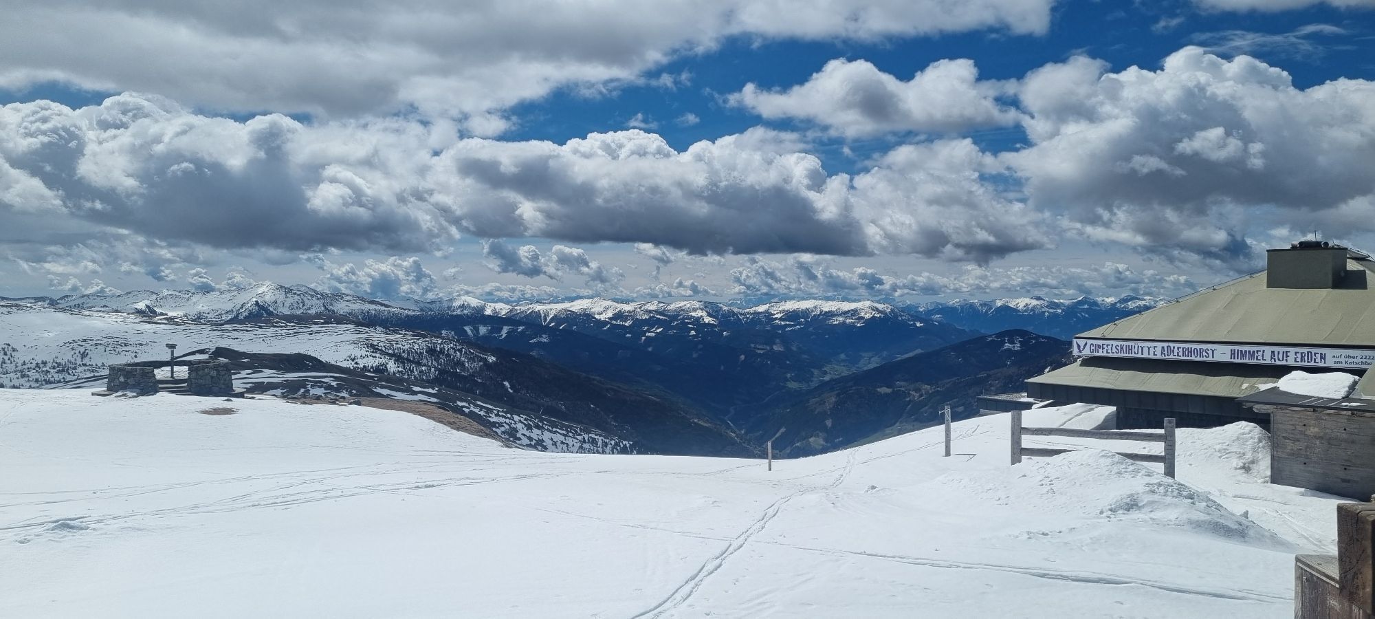
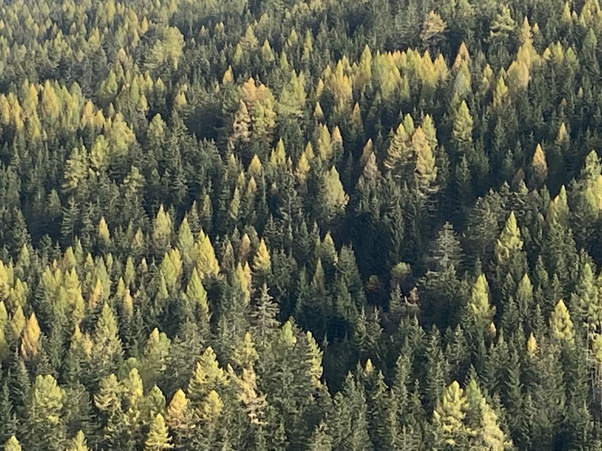

Starting from the Tourist Office, walk into the Upper Village to the junction for Schlögelberger. Follow the Schlögelberg path to the Schlögelberger inn with the Hubertus chapel. Above the chapel, pass...
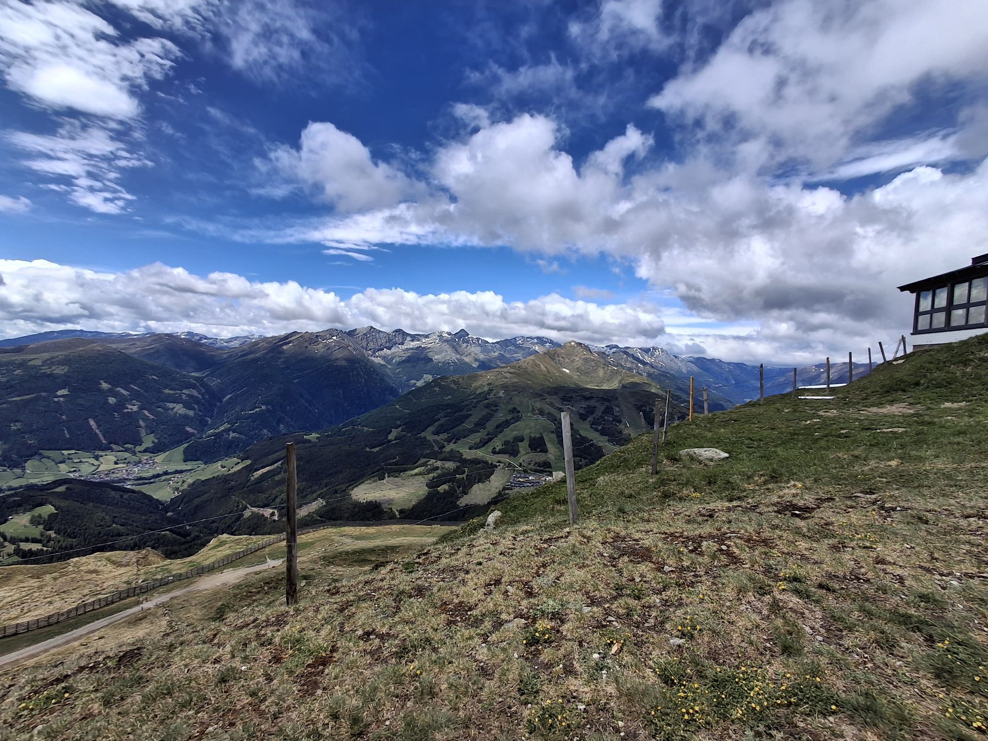
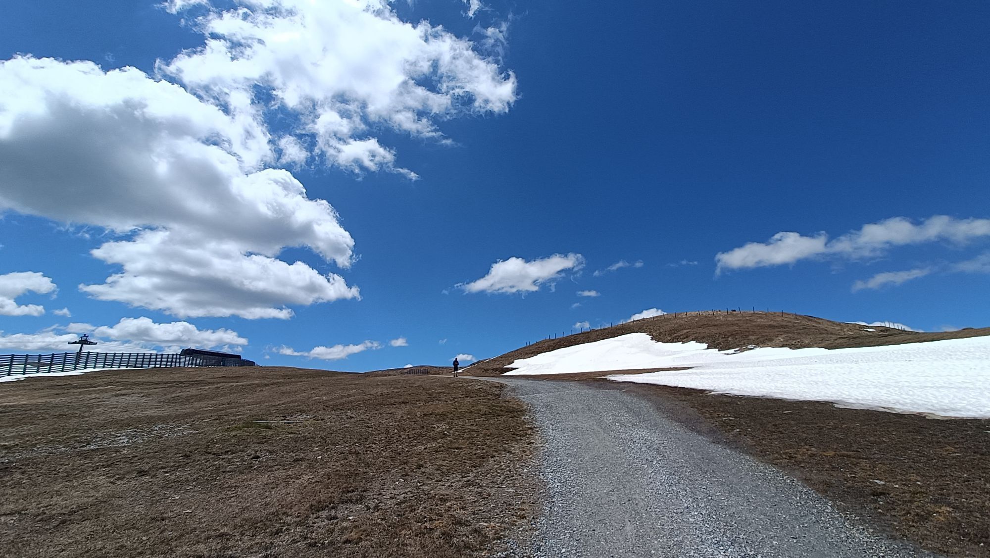
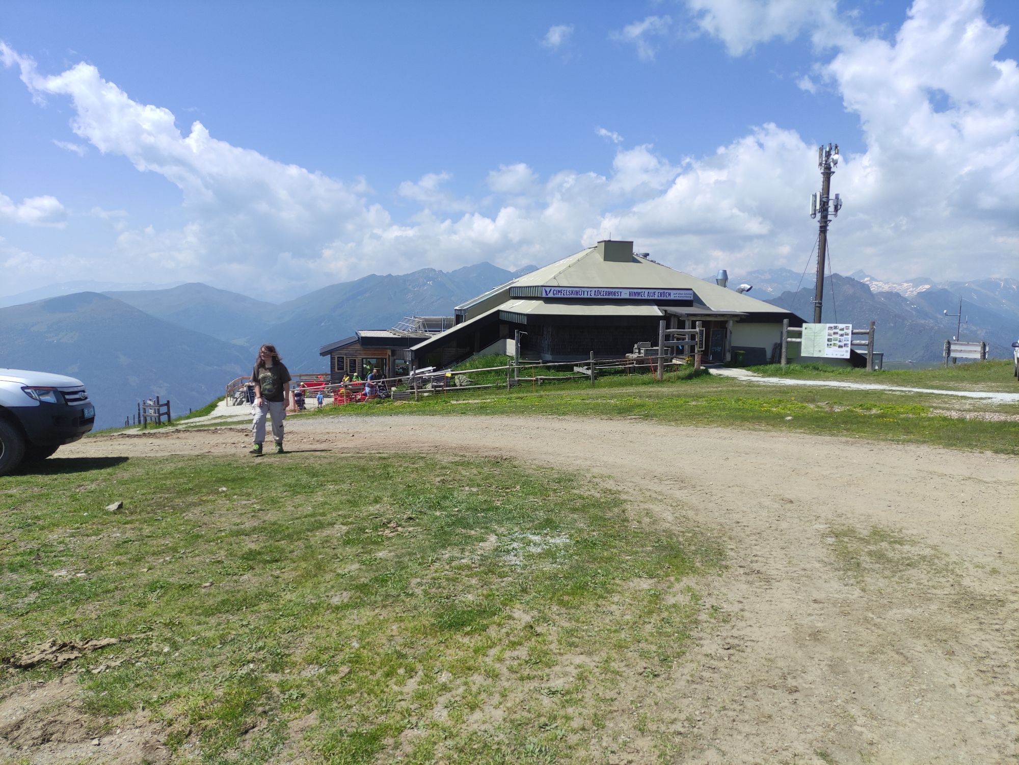
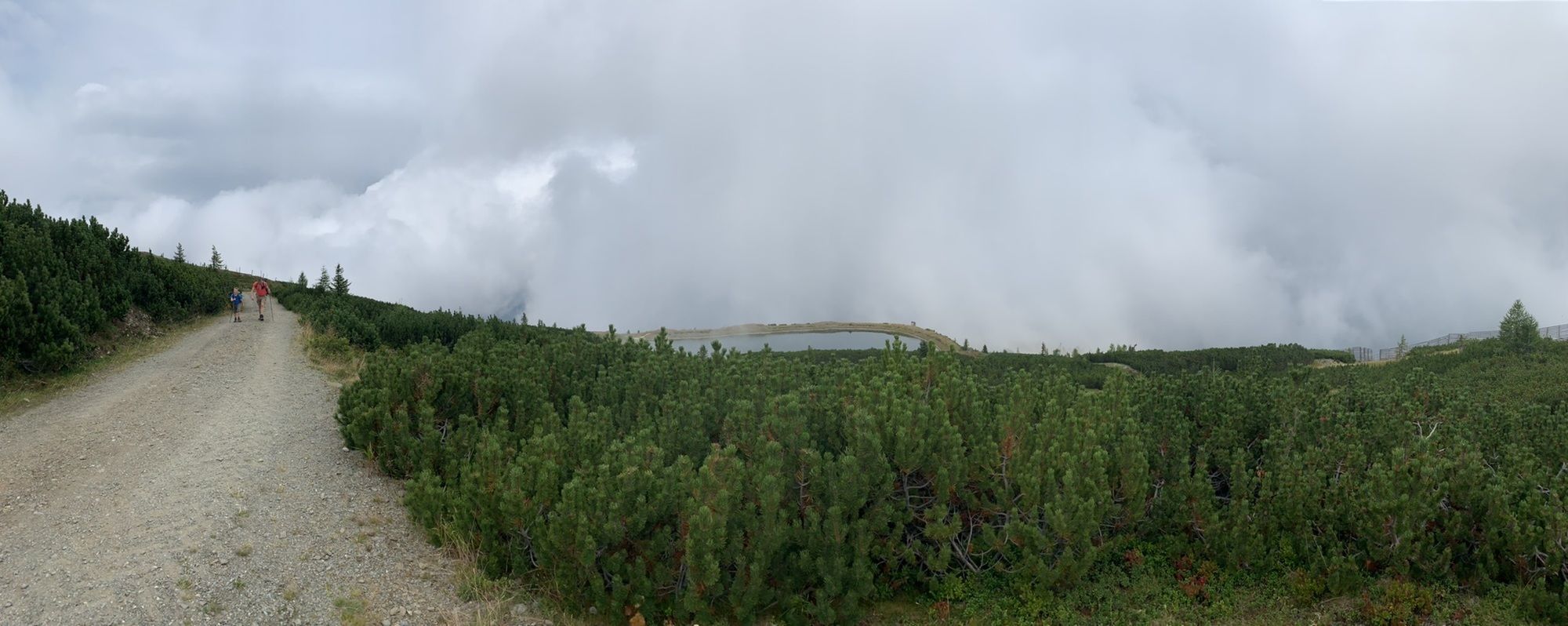
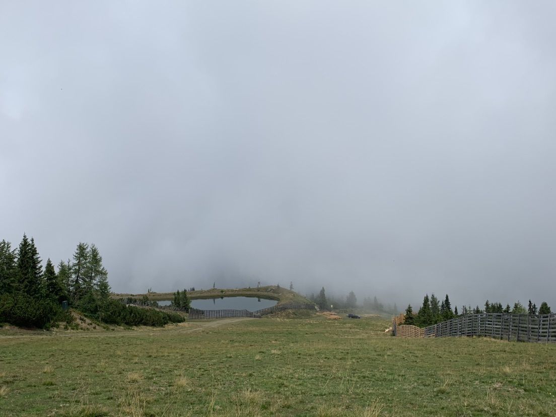
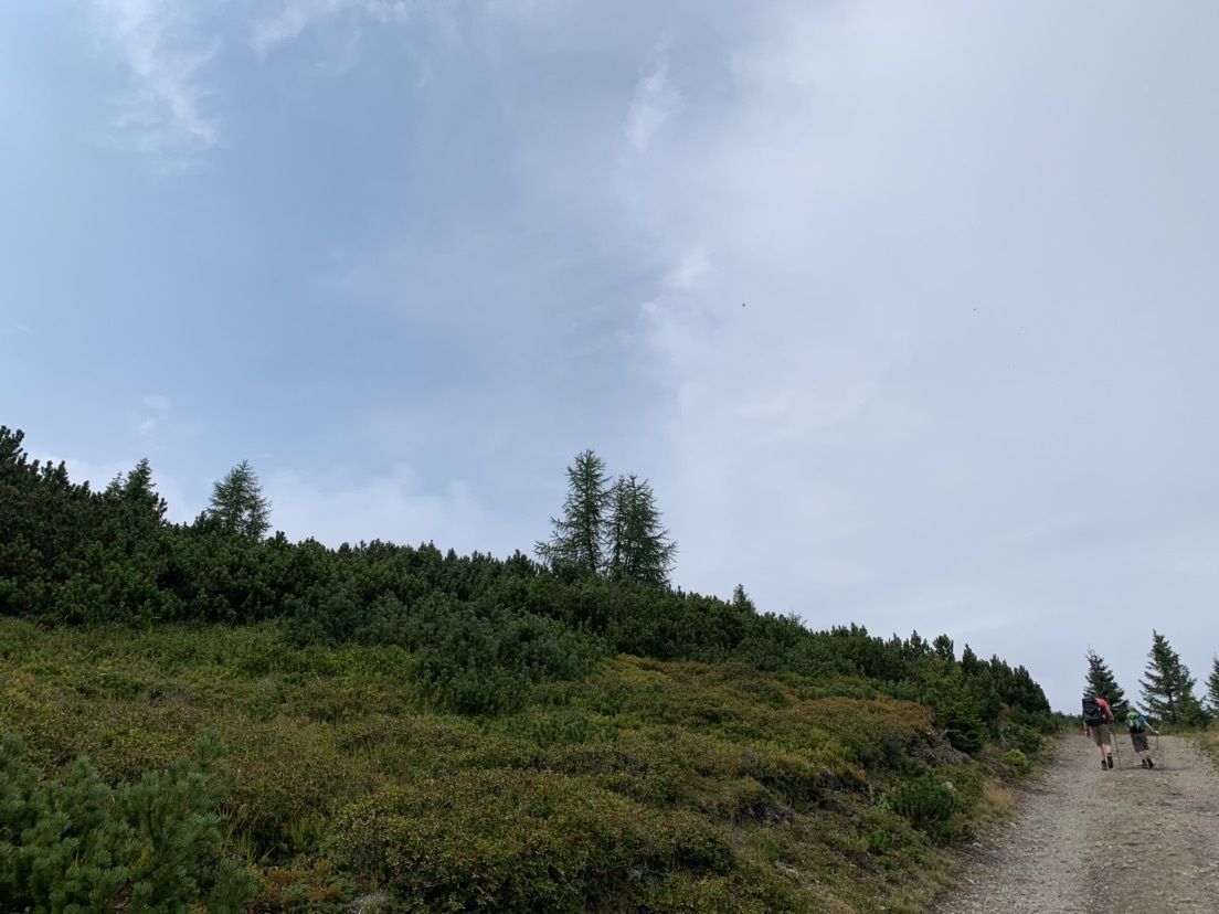
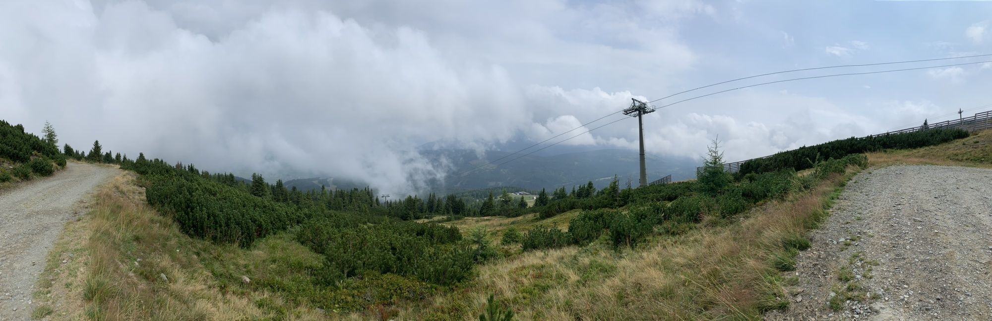
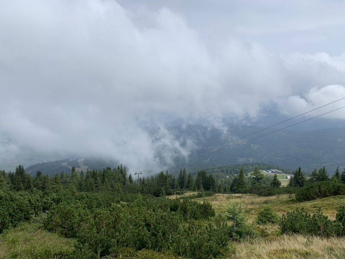
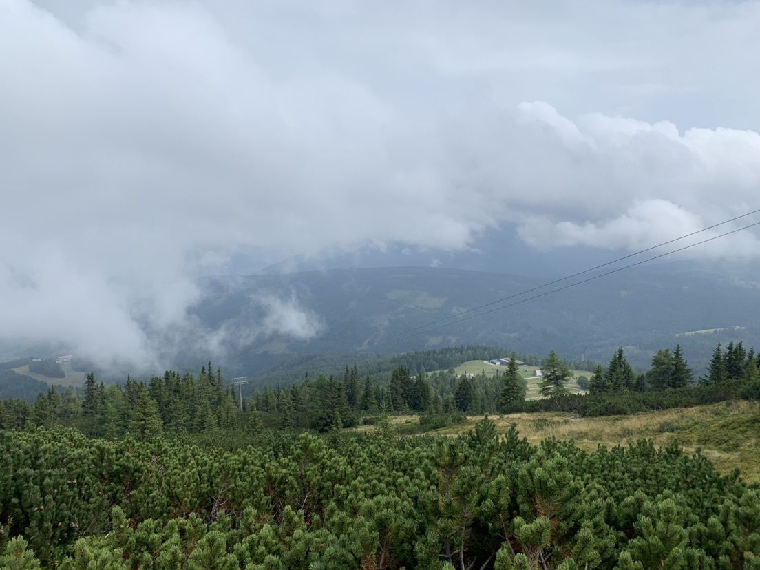
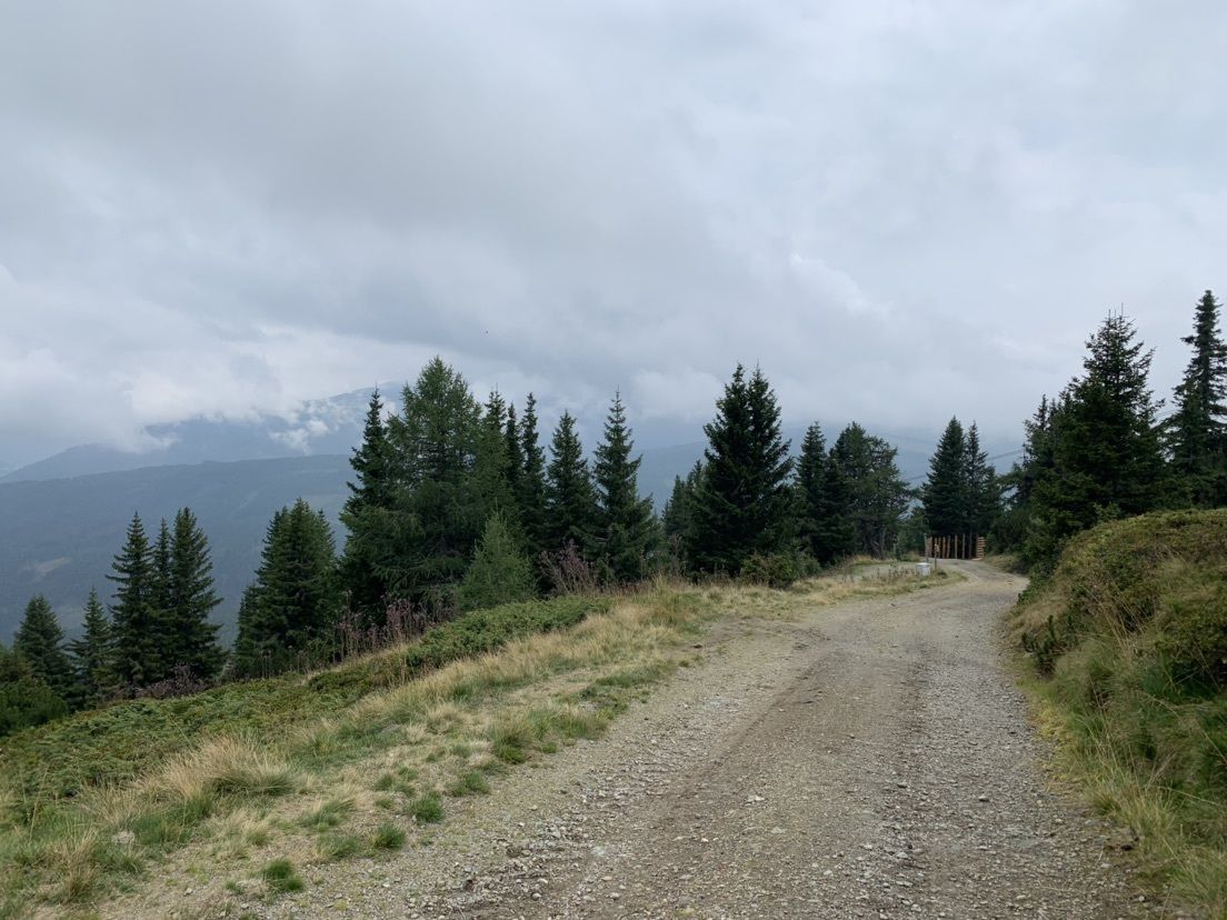
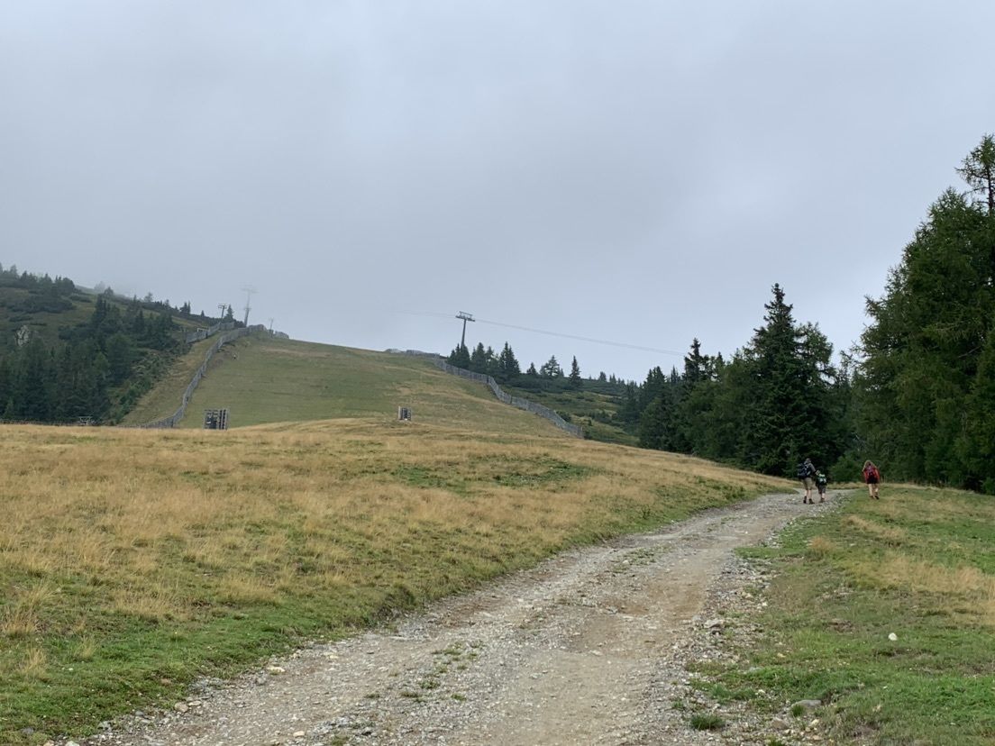
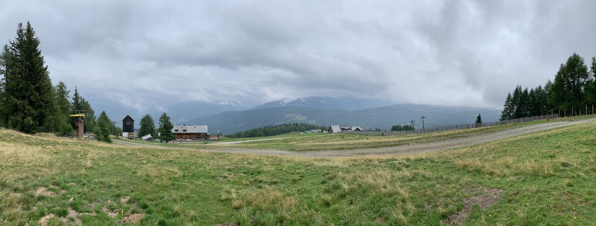
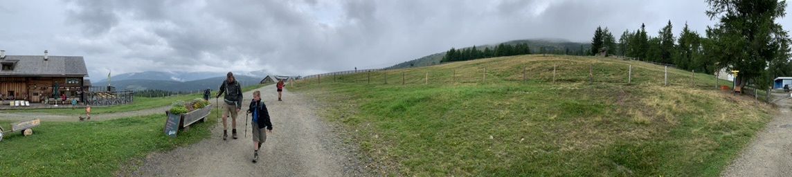
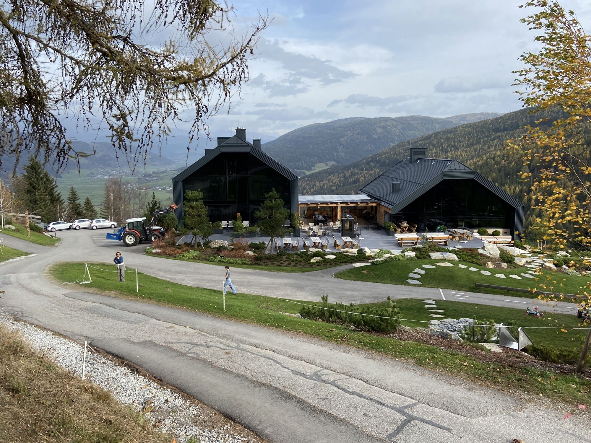
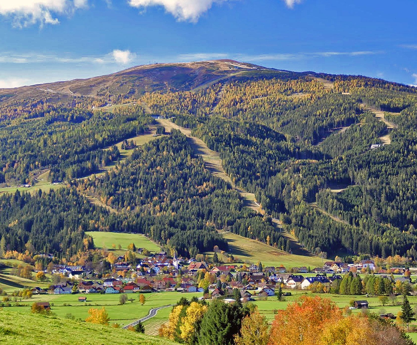
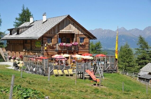
Starting from the Tourist Office, walk into the Upper Village to the junction for Schlögelberger. Follow the Schlögelberg path to the Schlögelberger inn with the Hubertus chapel. Above the chapel, pass a barrier, follow the path to the yellow hiking trail marker pointing left uphill across the meadow (slope), and after about 20 m you will rejoin the path – follow this path left slightly uphill along the hiking trail marker (Kößlbacher, Branntweiner hut, or Aineck). After about 1 1/2 hours, you will reach the Kößlbacher hut, shortly thereafter the Branntweiner hut. There are options to stop for refreshments and then you can continue hiking up to the summit cross of the Aineck.

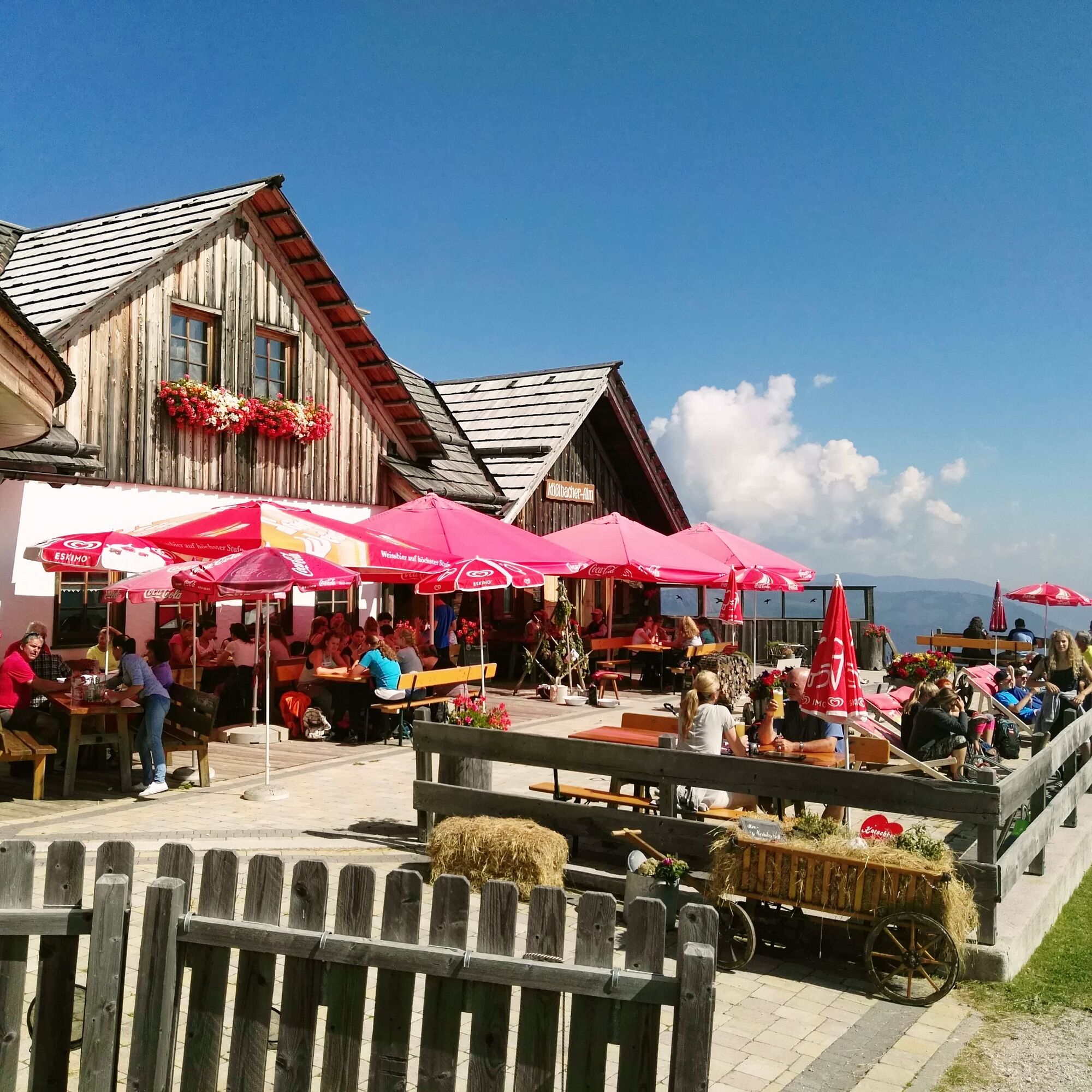
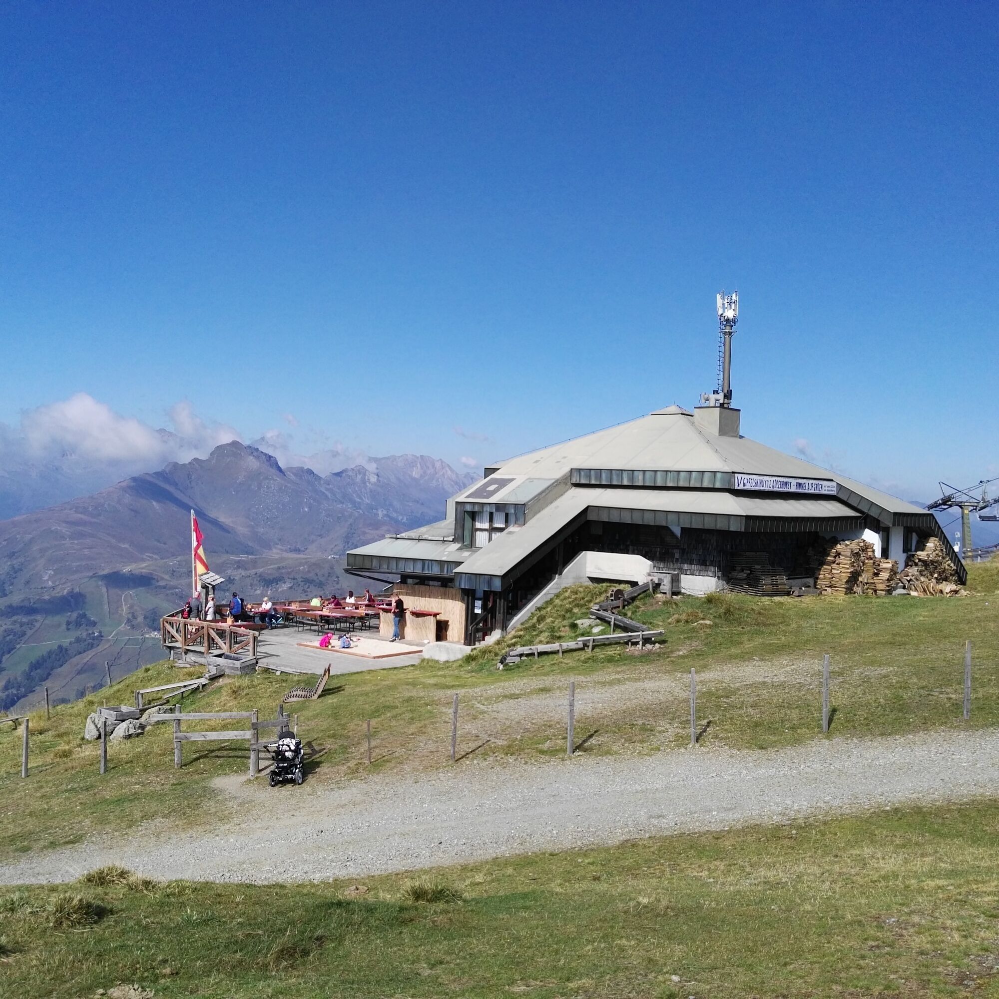

Starting from the Tourist Office, walk into the Upper Village to the junction for Schlögelberger. Follow the Schlögelberg path to the Schlögelberger inn with the Hubertus chapel. Above the chapel, pass a barrier, follow the path to the yellow hiking trail marker pointing left uphill across the meadow (slope), and after about 20 m you will rejoin the path – follow this path left slightly uphill along the hiking trail marker (Kößlbacher, Branntweiner hut, or Aineck). After about 1 1/2 hours, you will reach the Kößlbacher hut, shortly thereafter the Branntweiner hut. There are options to stop for refreshments and then you can continue hiking up to the summit cross of the Aineck.
Da
Equipment: sturdy footwear, drinking water, and possibly provisions
Pridobite vpogled Vedno v živo na mestu z več kot 9.500 spletnimi kamerami. bergfex Kot uporabnik Pro si lahko zdaj ogledate ustrezne spletne kamere za številne izlete v aplikaciji izleti iz. Tako si lahko neposredno ogledate trenutne razmere. Priljubljeni izleti v okolici
- 4.9
Schönfeld: Großer Königstuhl
srednjaPohodništvo 11.2 km - 4.3
Pritzhütte
svetlobaPohodništvo 3.38 km - 4.7
19, 97 Herzerlweg zur Gamskogelhütte
svetlobaTematska pot 3.83 km - 4.0
Schlögelbergrundweg Nr. 82 (Wasserweg Leisnitz)
srednjaPohodništvo 5.15 km - 4.6
Rundweg Aineck
srednjaPohodništvo 14.1 km - 4.6
97 Rundwanderung Gontalrunde, Katschberg - Gontalscharte - Gontal
Pohodništvo 9.33 km - 4.5
Peitlernock, Hohe Pressing, Bärenaunock
srednjaPohodništvo 9.16 km - 4.7
Hiking on the Katschberger Advent route
svetlobaZimsko pohodništvo 5.01 km - 4.0
Ski tour educational trail Grünleitennock
svetlobaSmučarska tura 4.29 km - 3.4
97 Mountain tour to Kareck
srednjaPohodništvo 14.0 km
Pohodništvo in sledenje


Ne zamudite ponudb in navdiha za naslednje počitnice
Vaš e-poštni naslov je bil dodan na poštni seznam.





