


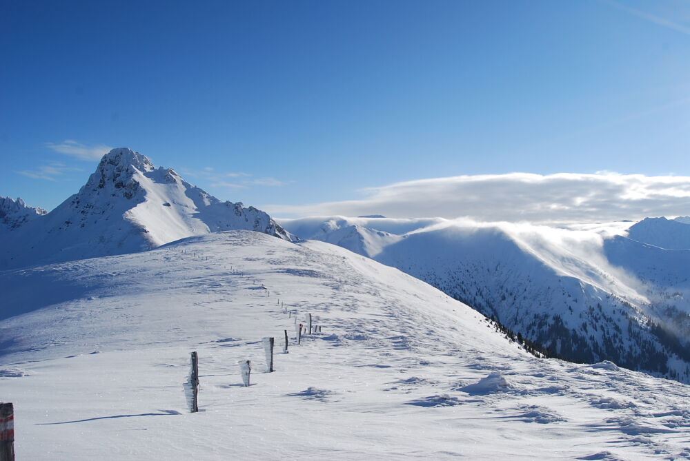
Großarl: Filzmooshörndl, 2,189 m


This very scenic, moderately difficult ski tour is well-suited for both beginners and experienced ski tourers from early winter onwards. Combined with Loosbühel, this ski tour becomes an absolute highlight....
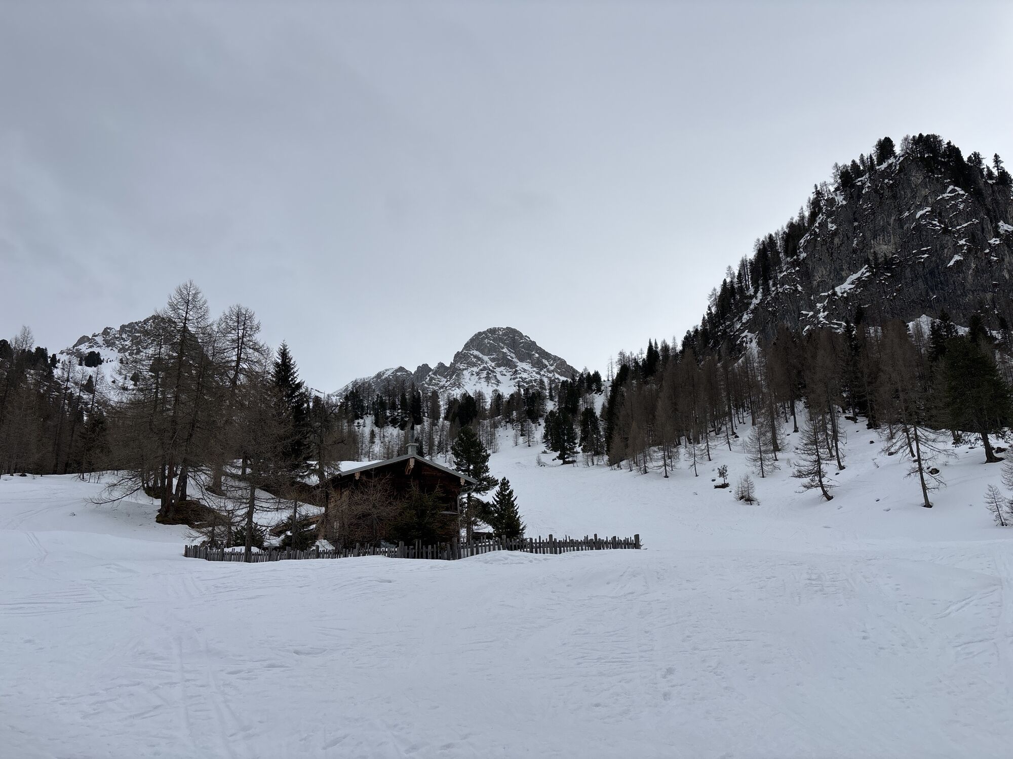
This very scenic, moderately difficult ski tour is well-suited for both beginners and experienced ski tourers from early winter onwards. Combined with Loosbühel, this ski tour becomes an absolute highlight. The Loosbühelalm is open in winter.
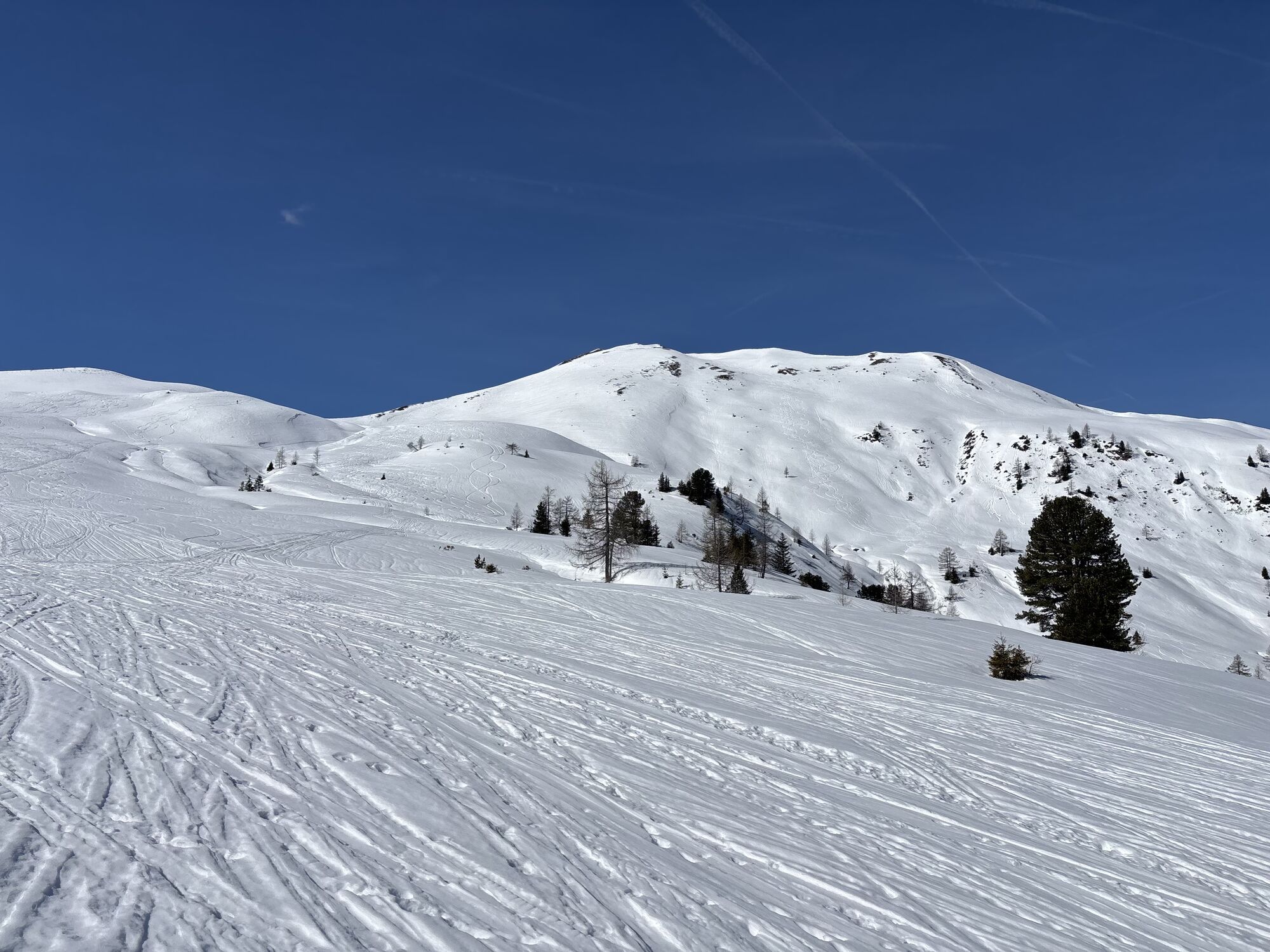
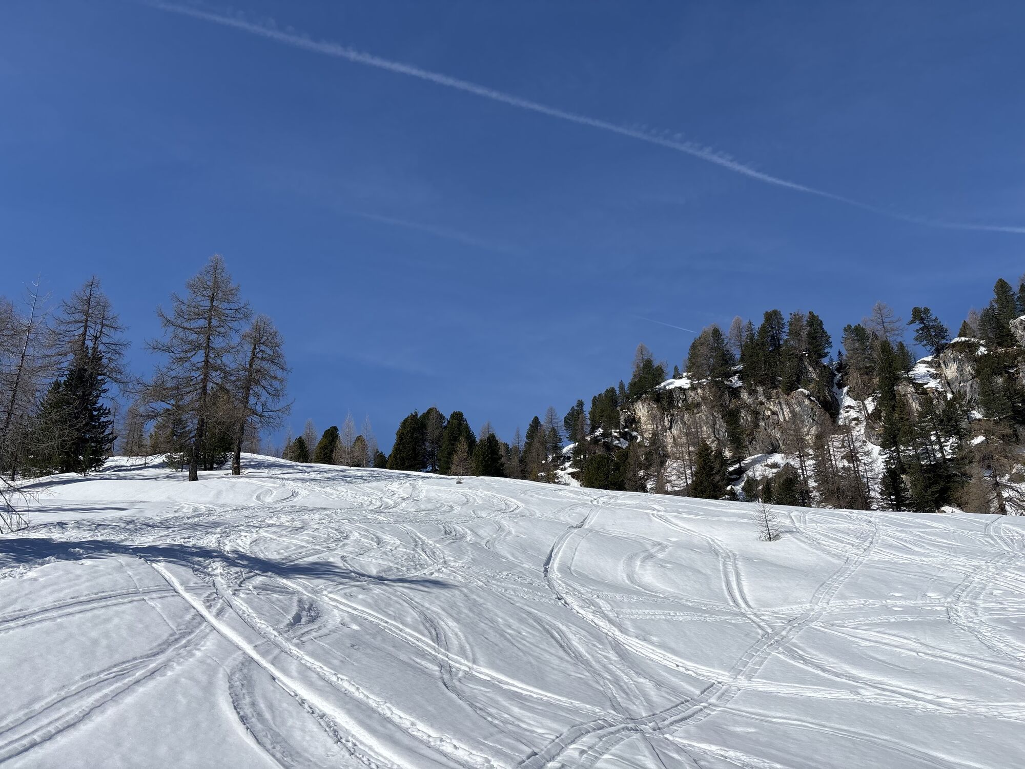
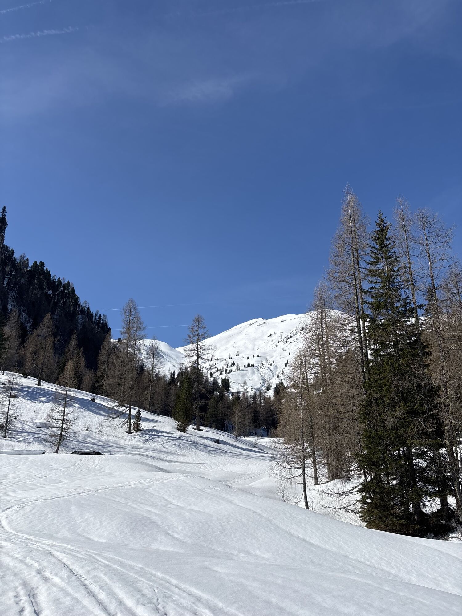
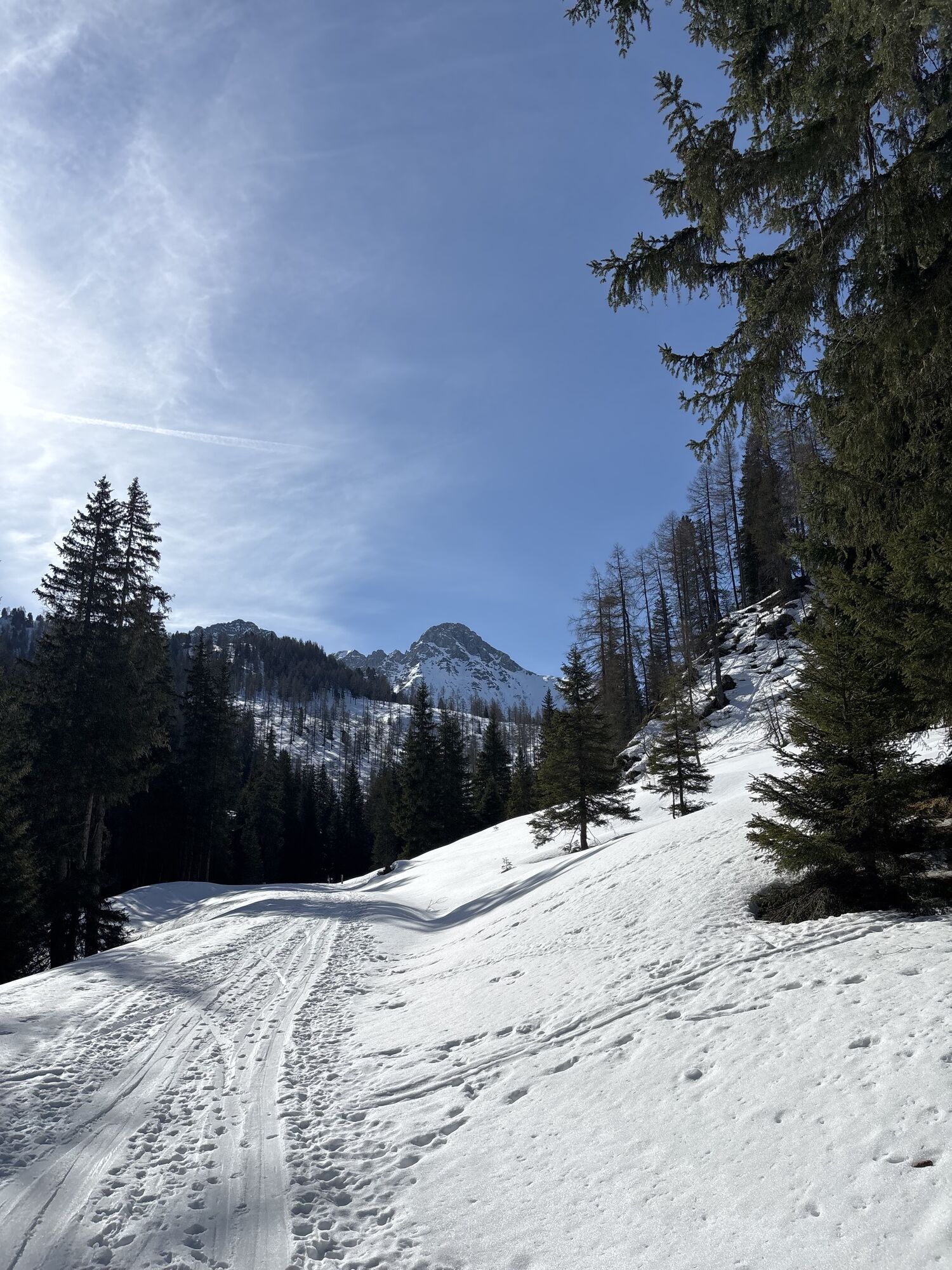
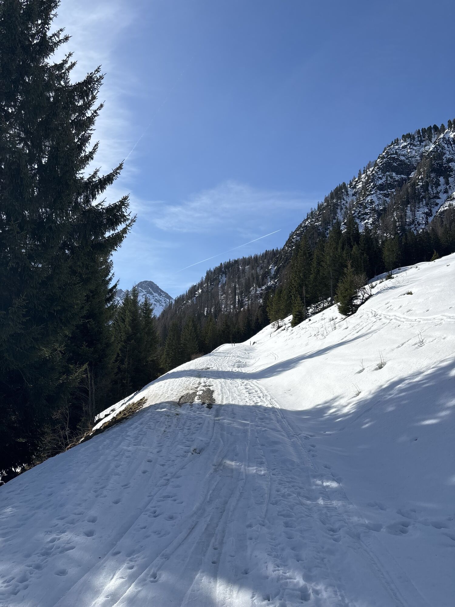
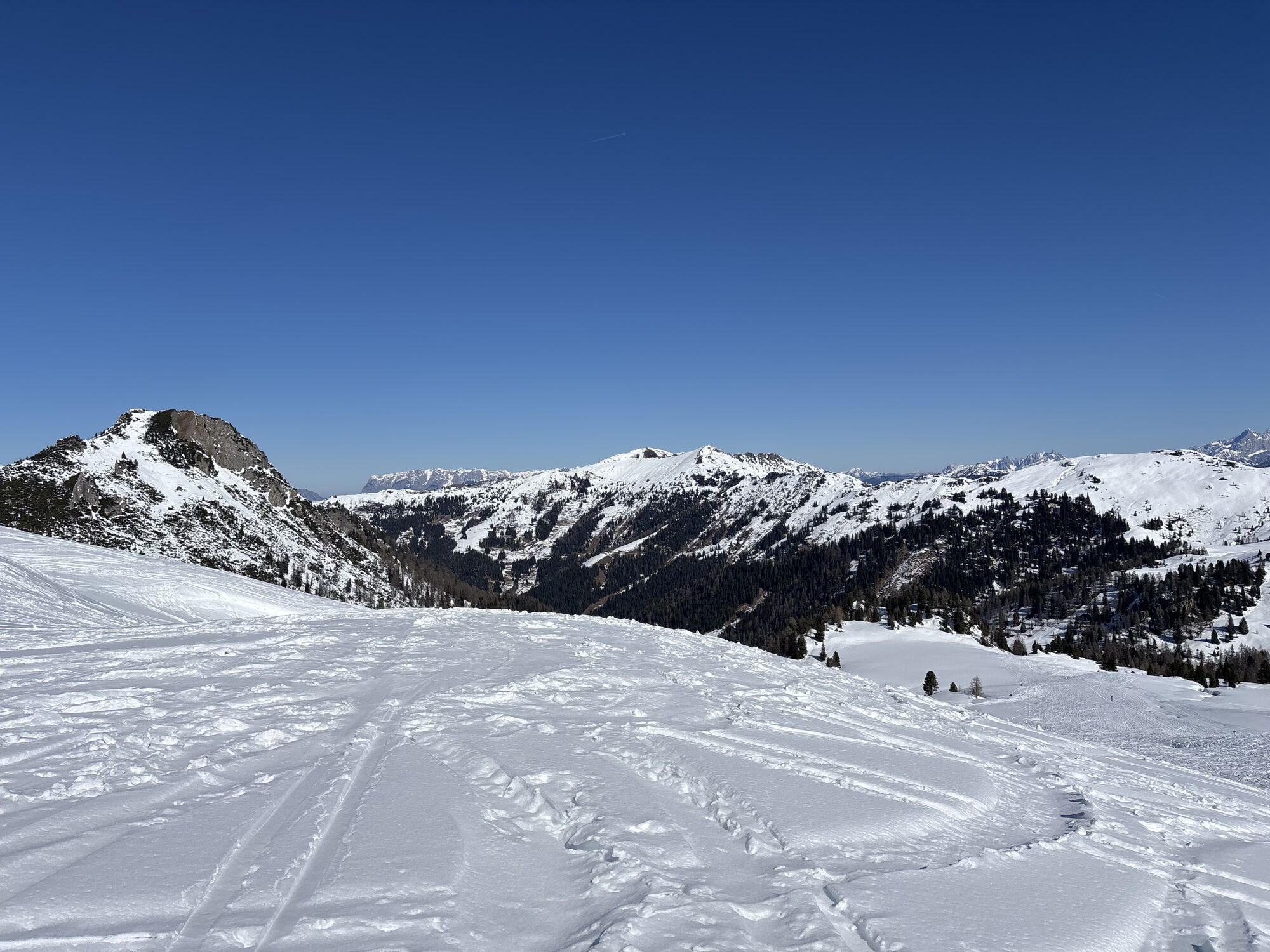
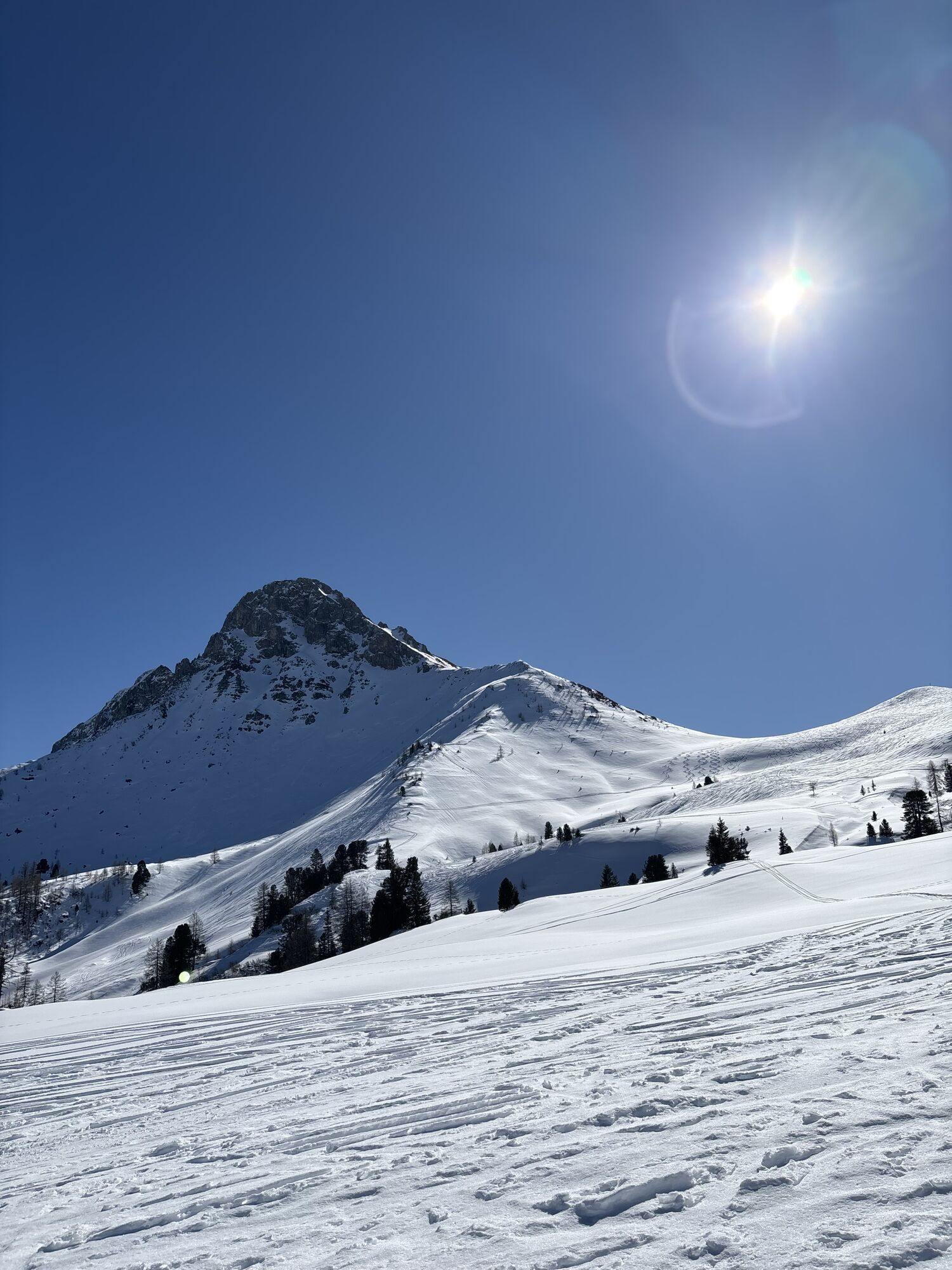
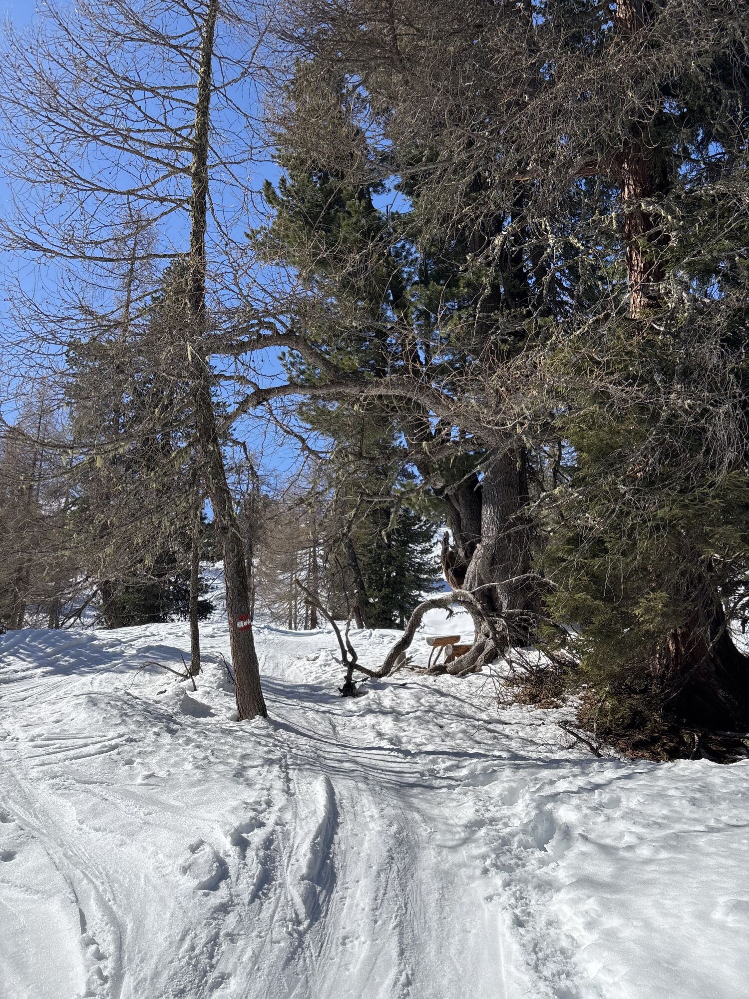
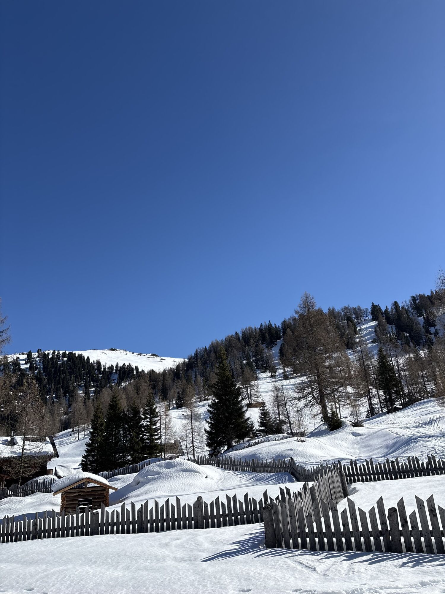
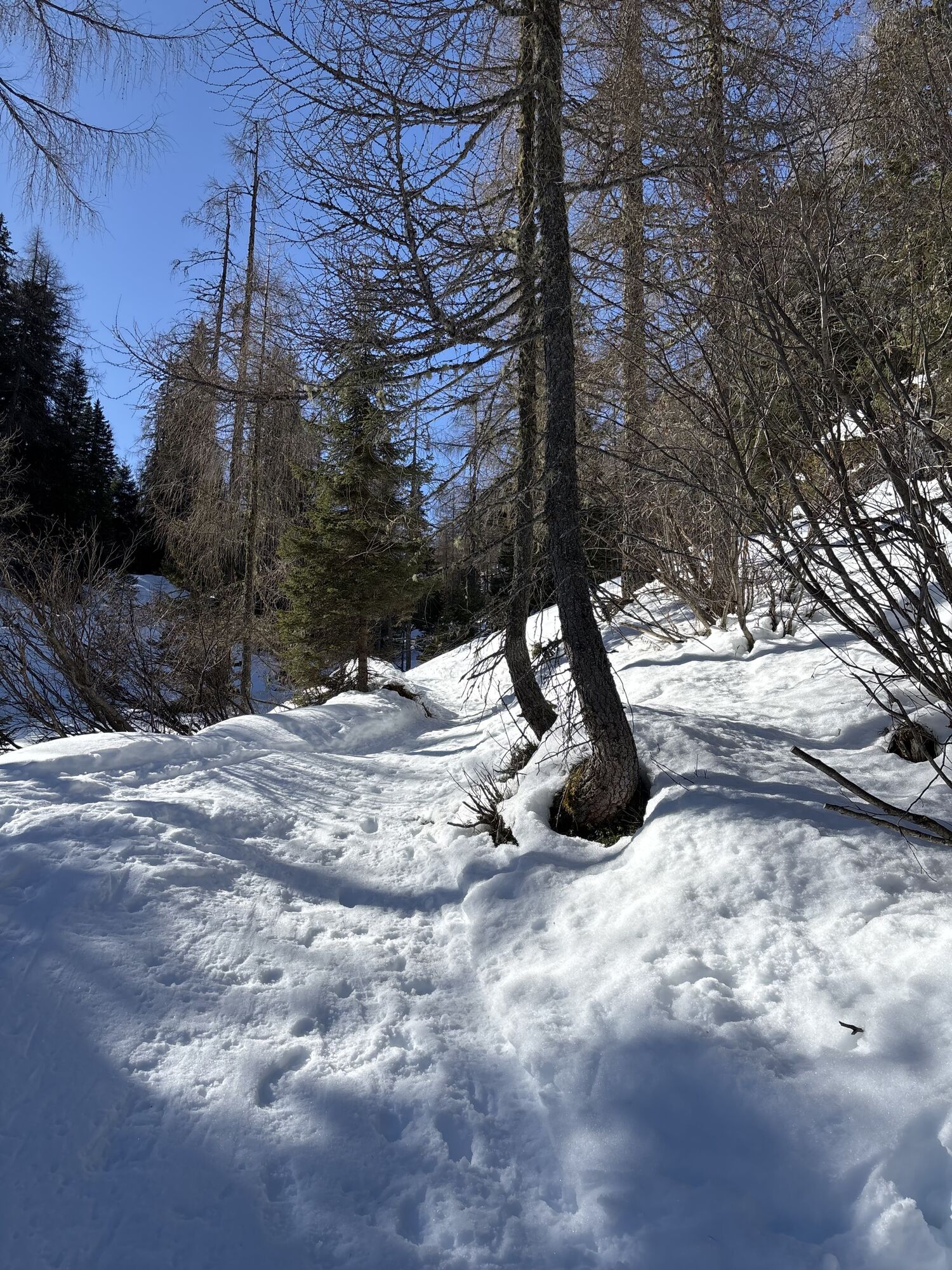
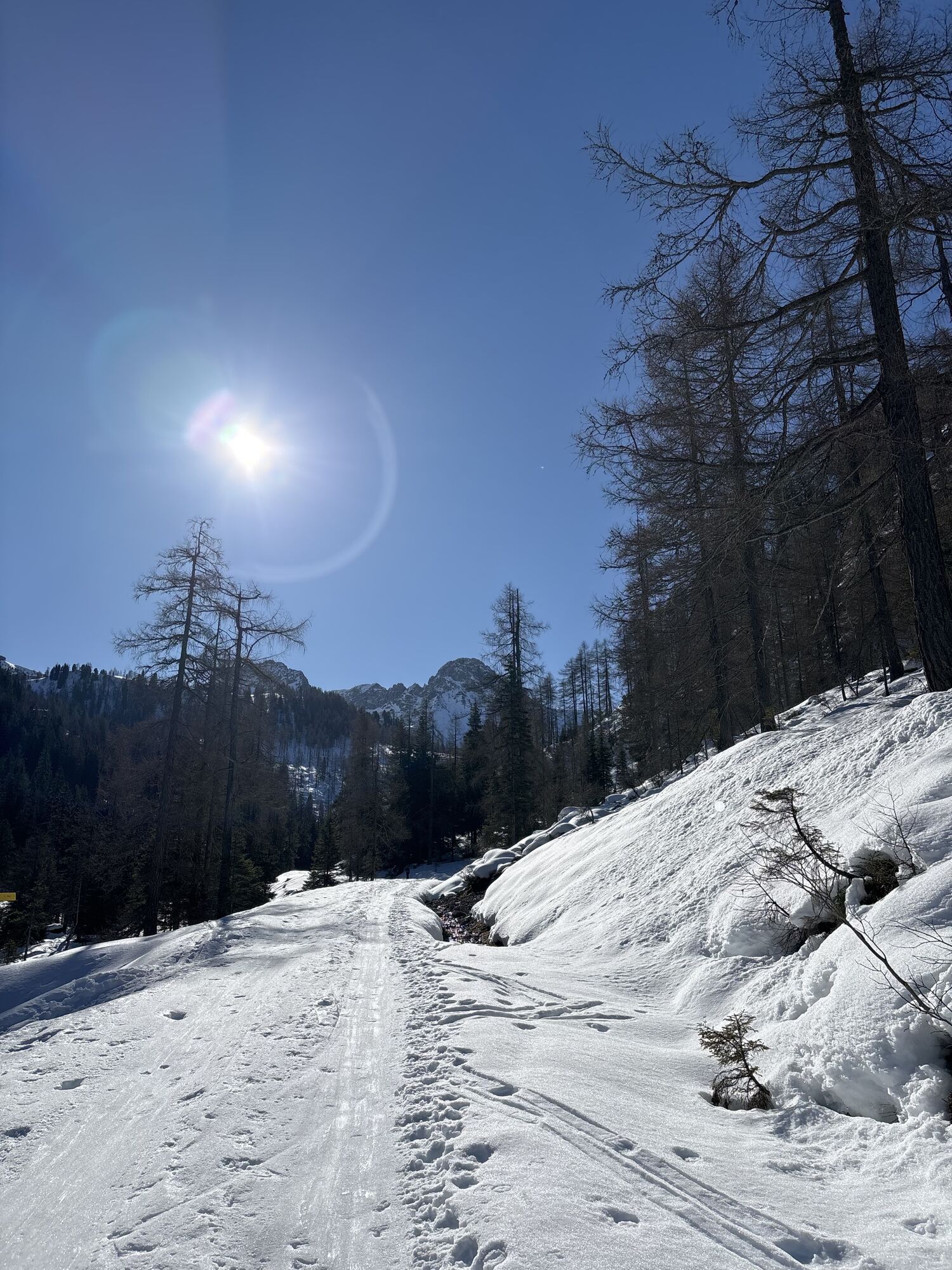
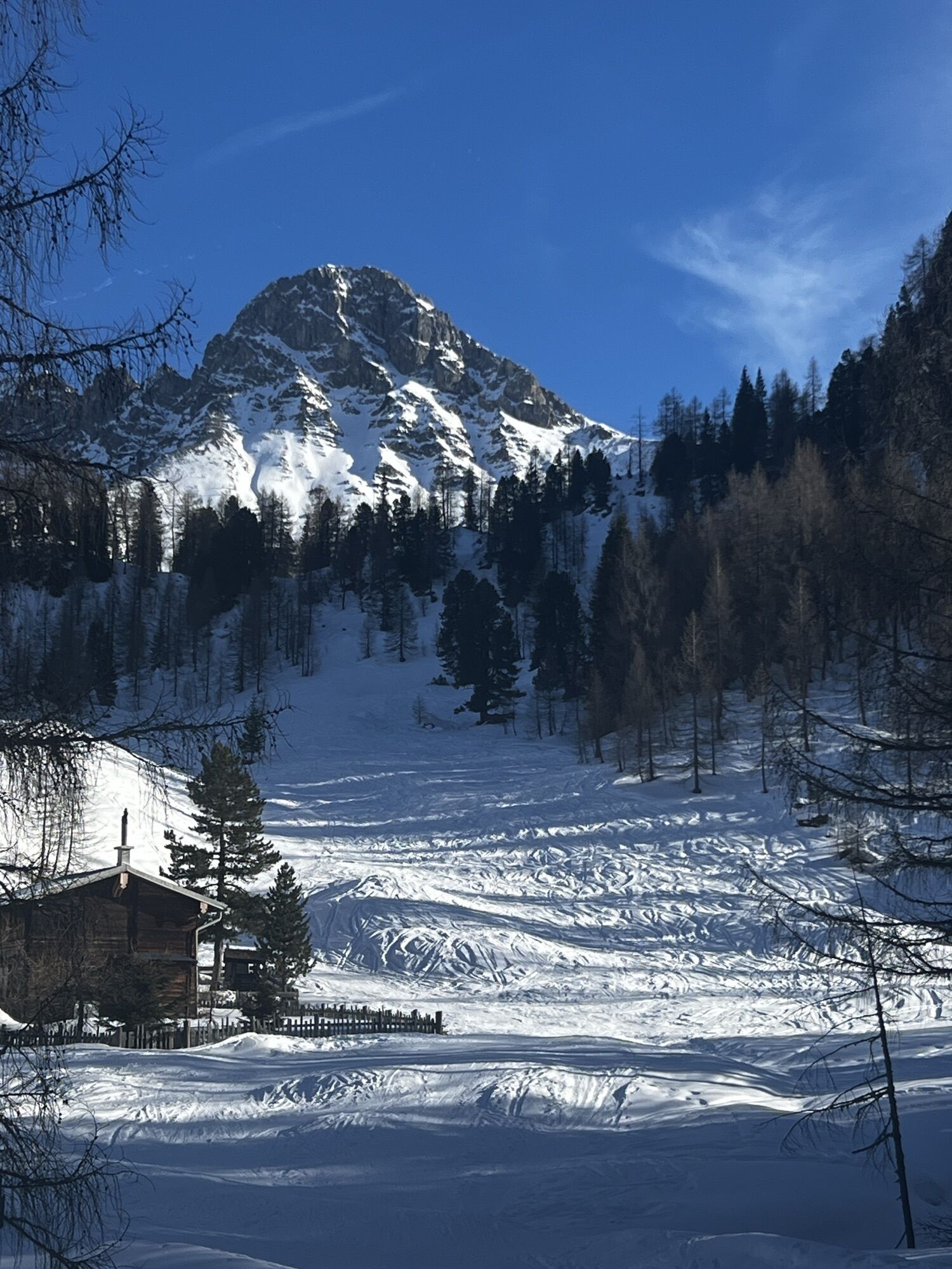
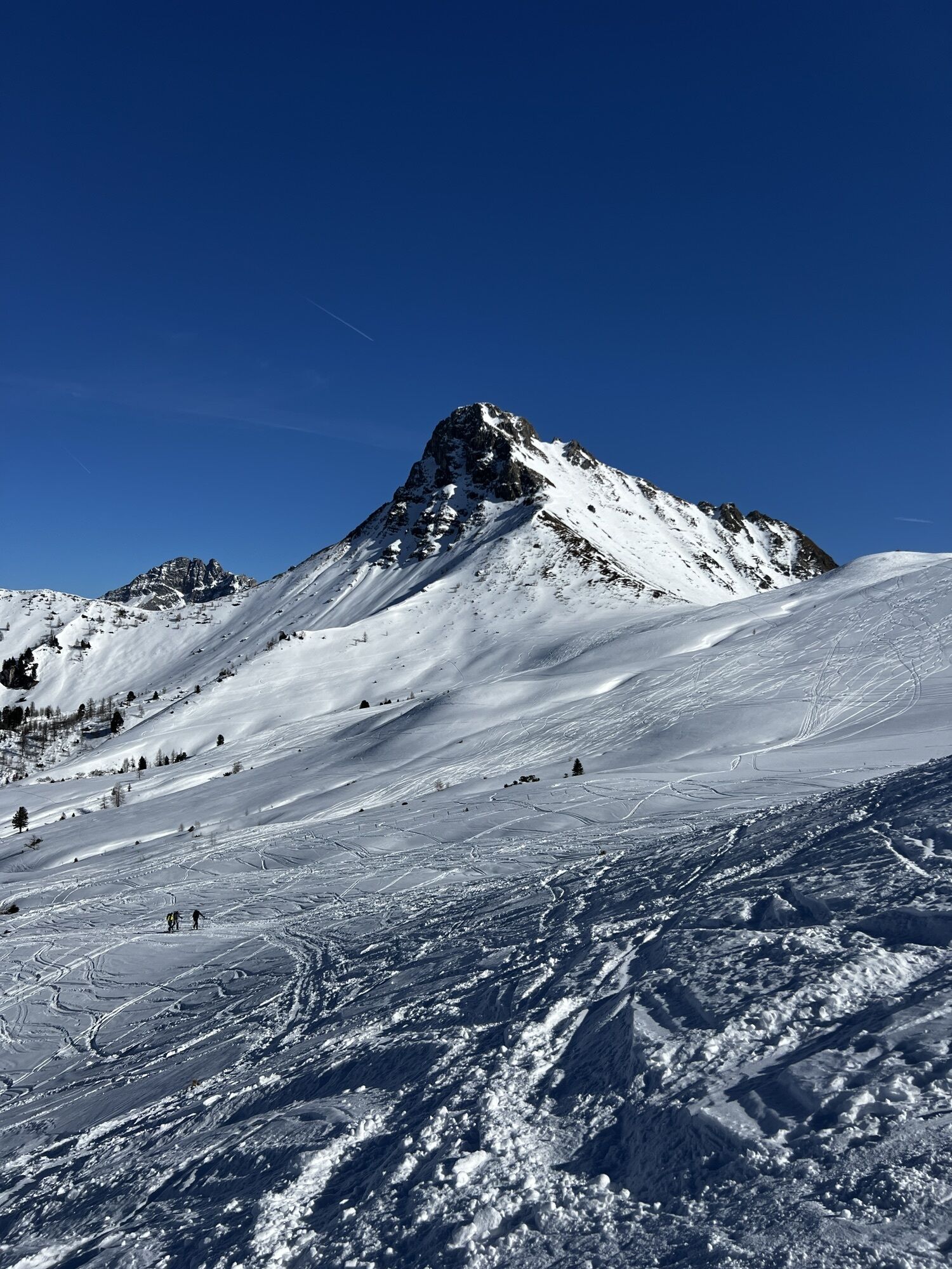
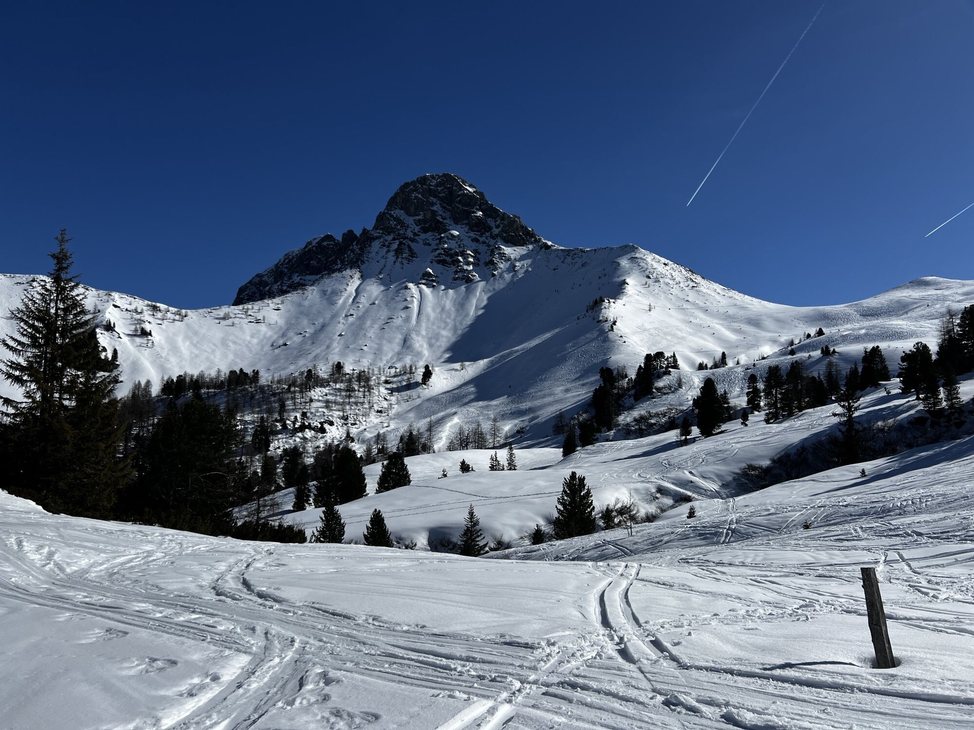
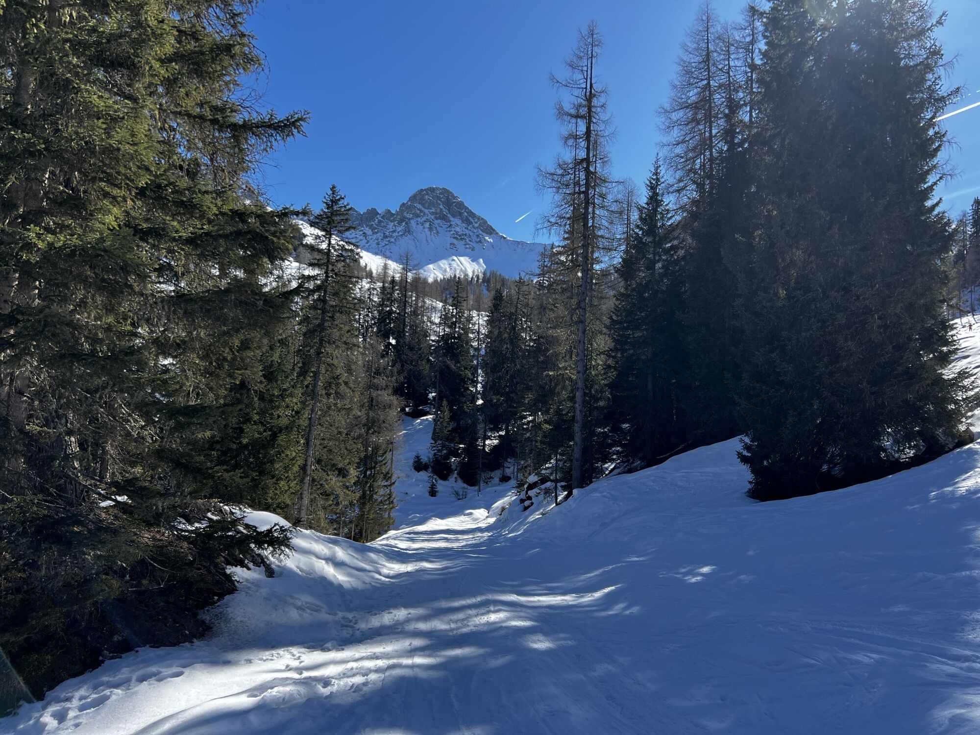
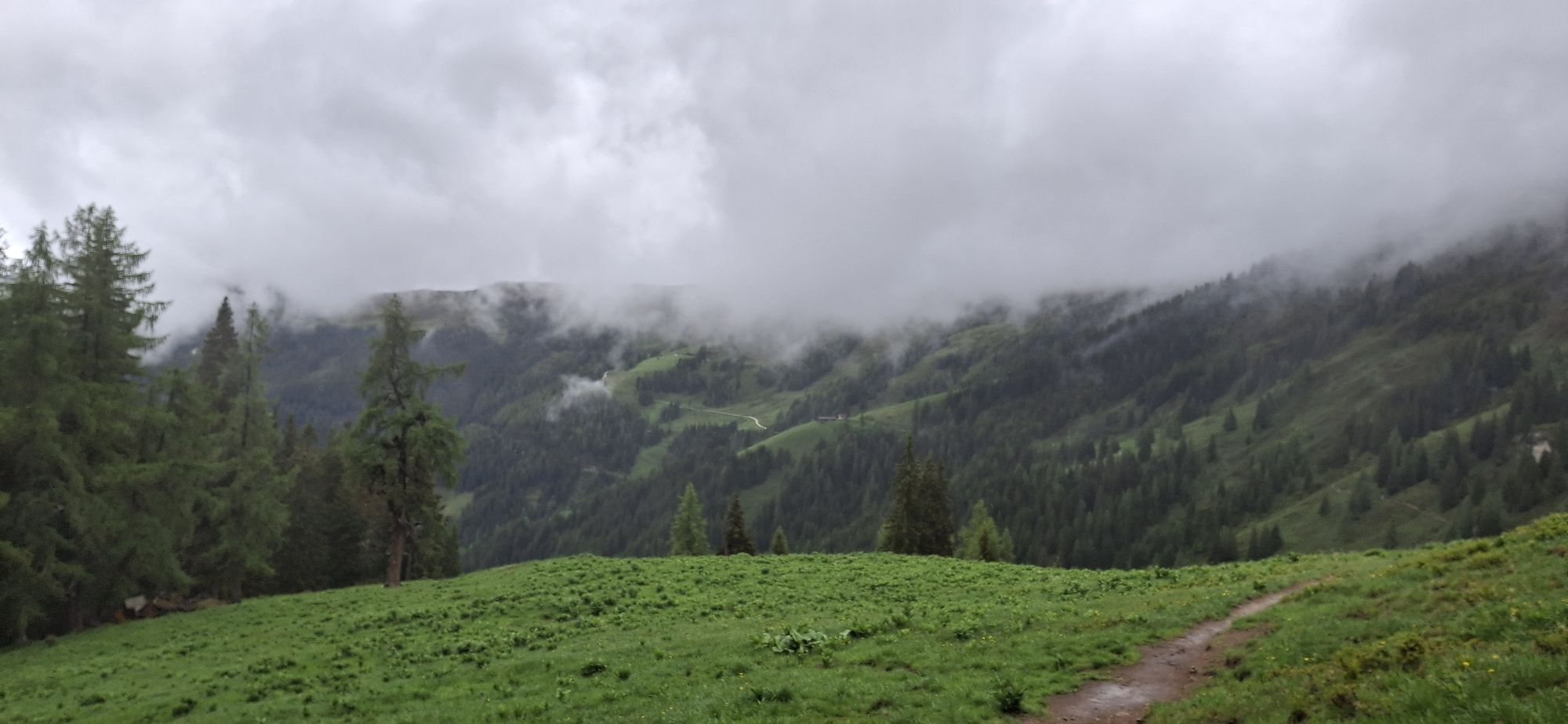
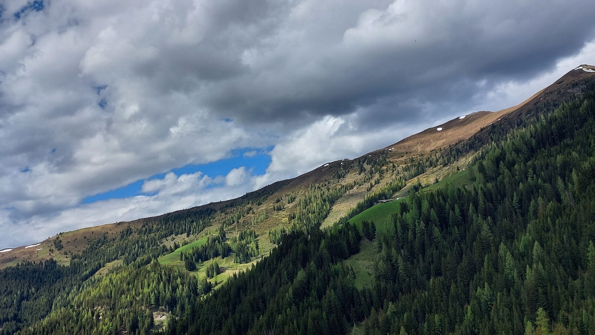
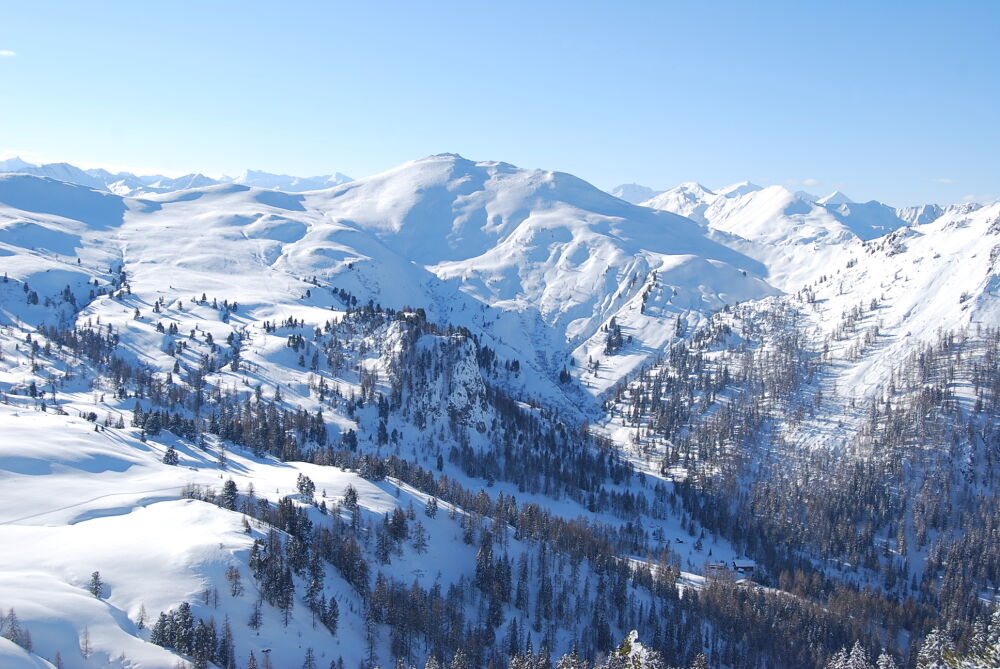
The Filzmoosalm area lies in an untouched natural landscape. The wide alpine meadows and pastures are bordered on one side by grassy mountains and on the other side by steep limestone cliffs of the Draugstein and the Großer Schneibenstein. The path leads uphill past many Swiss pine trees typical for the rear Ellmautal.
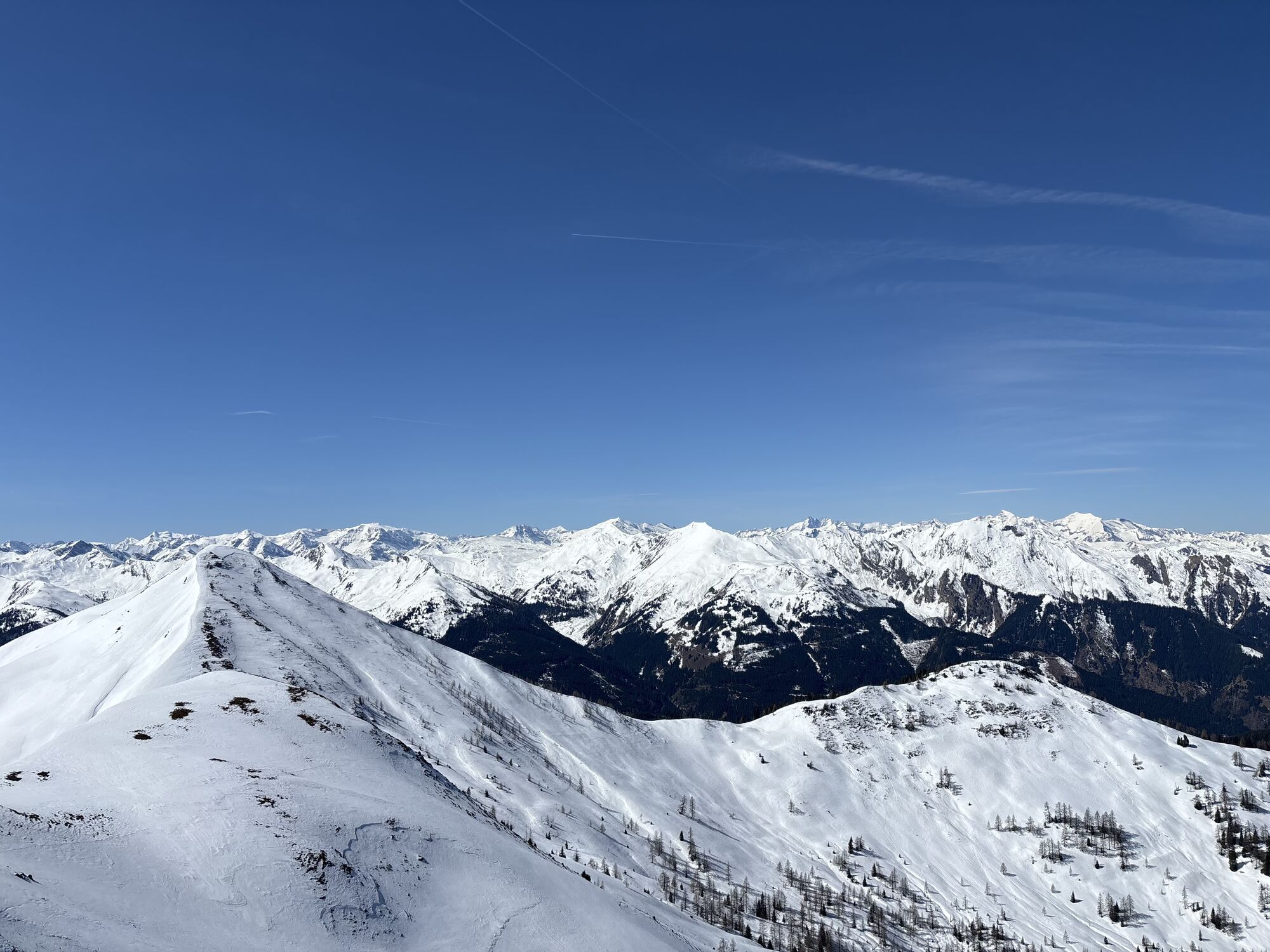
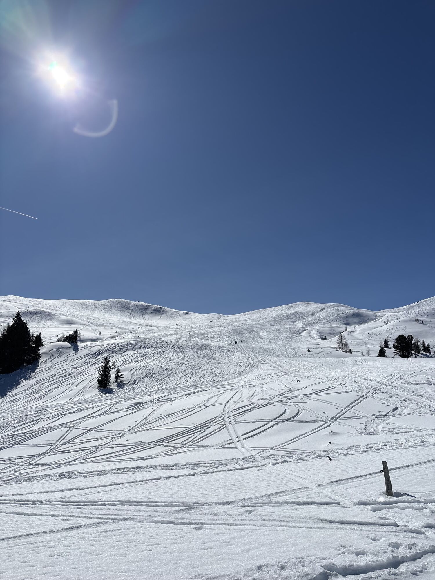
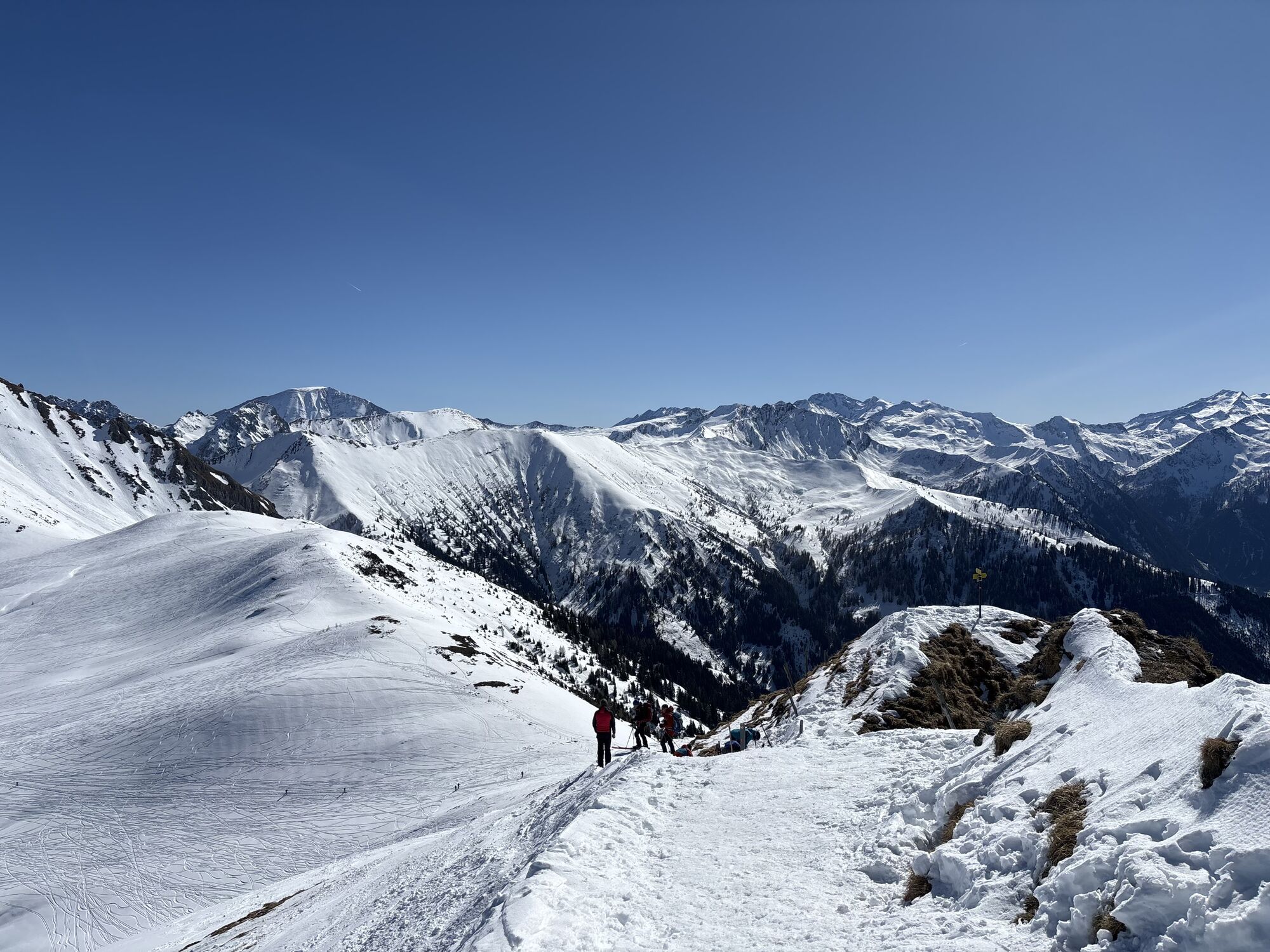
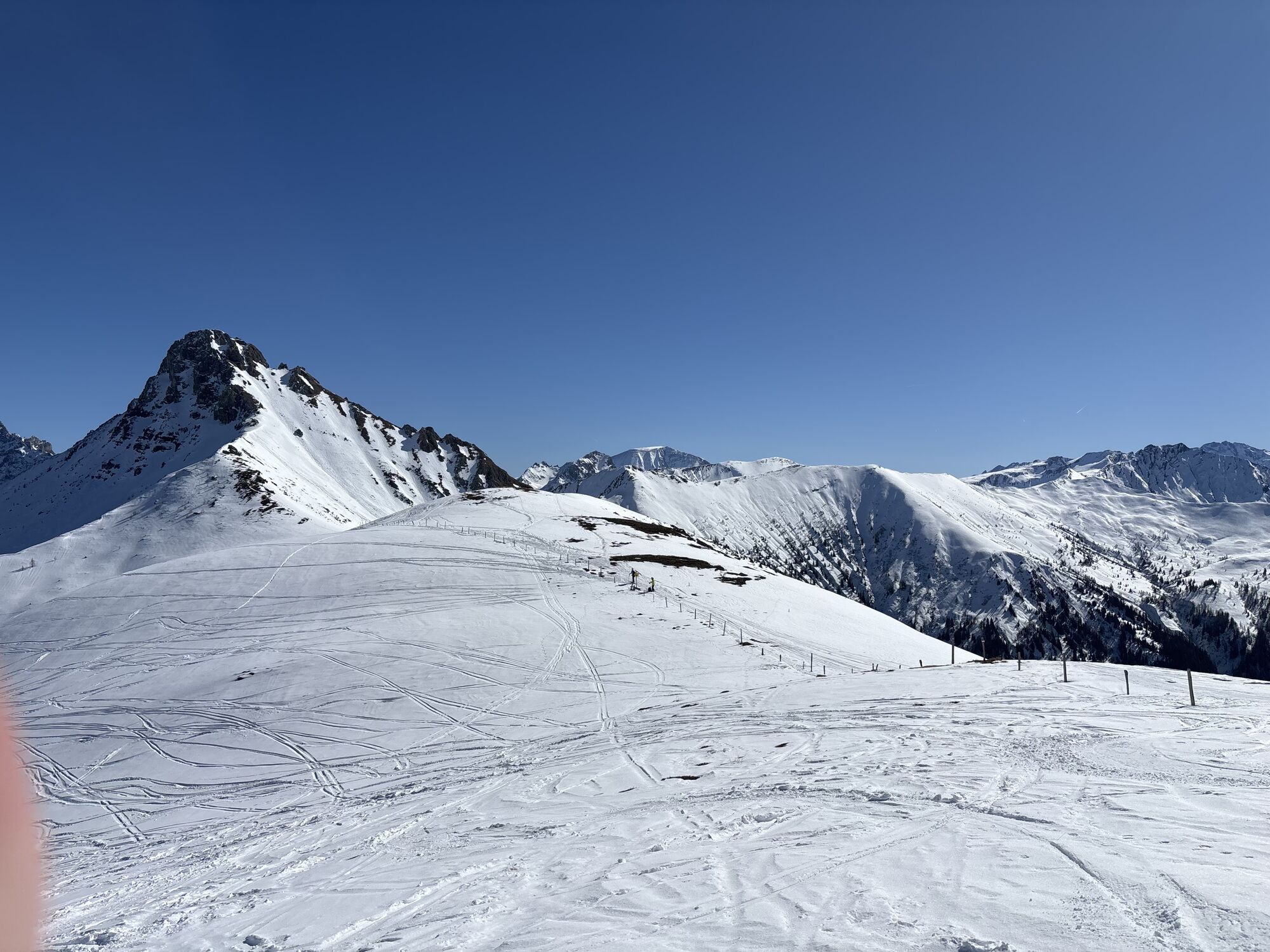
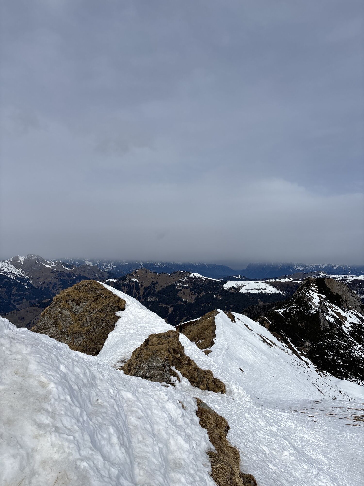
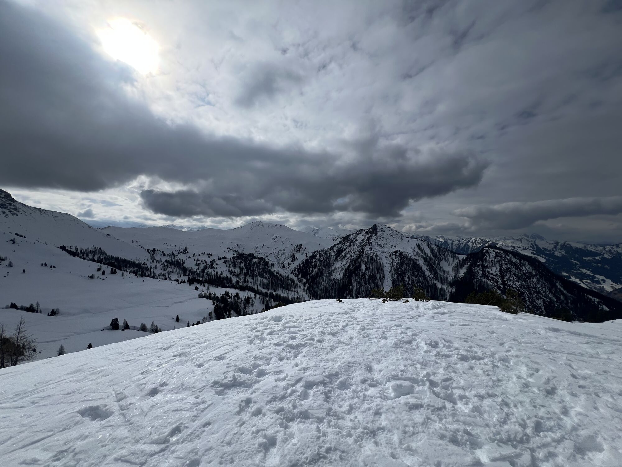
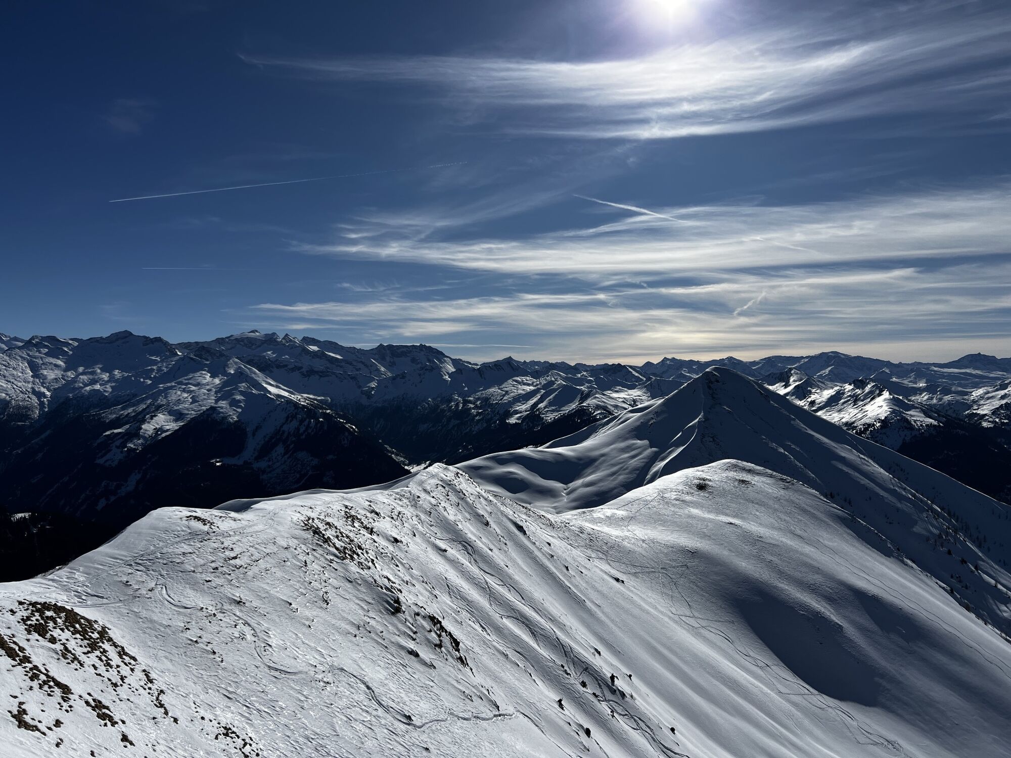
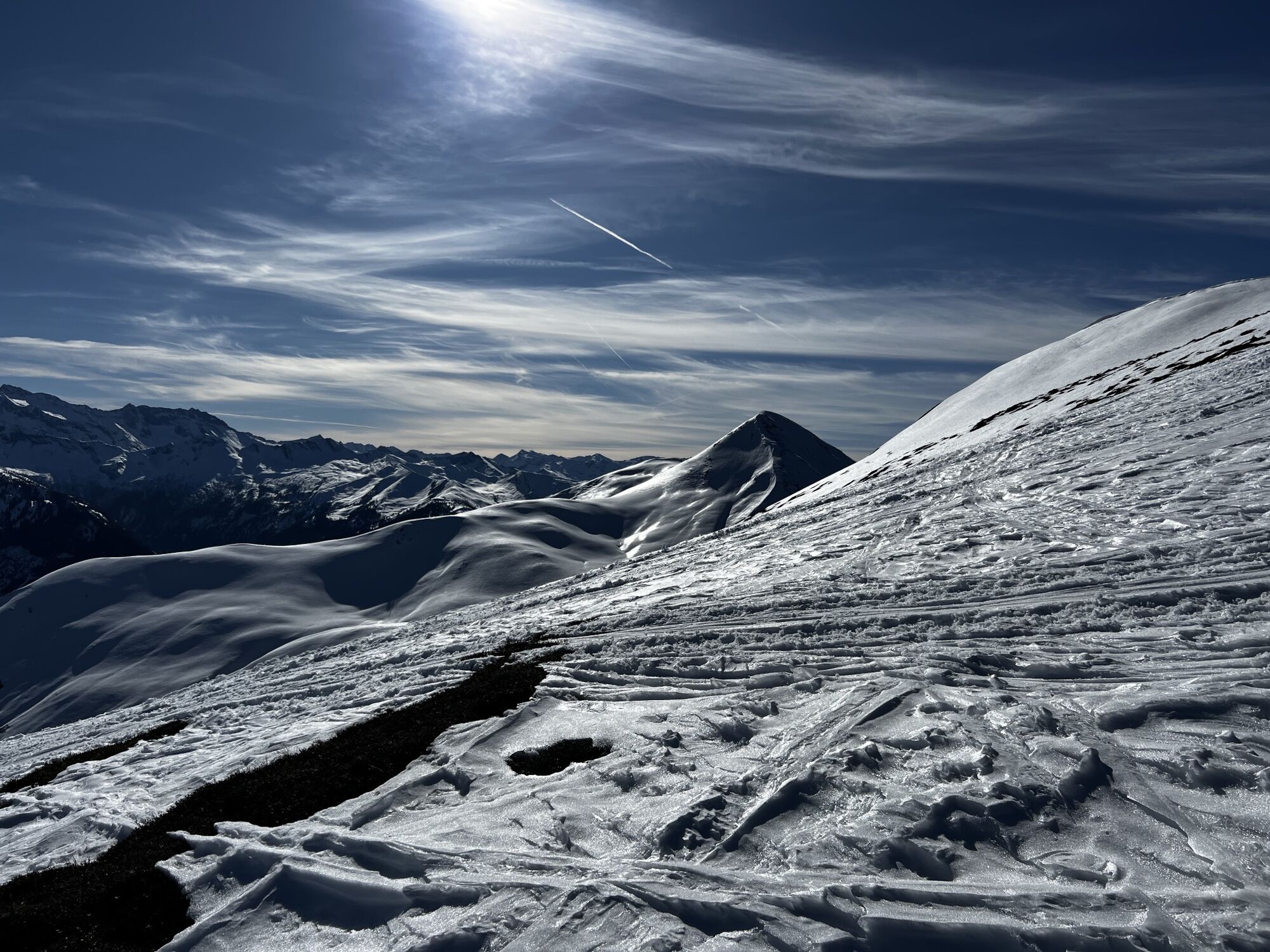
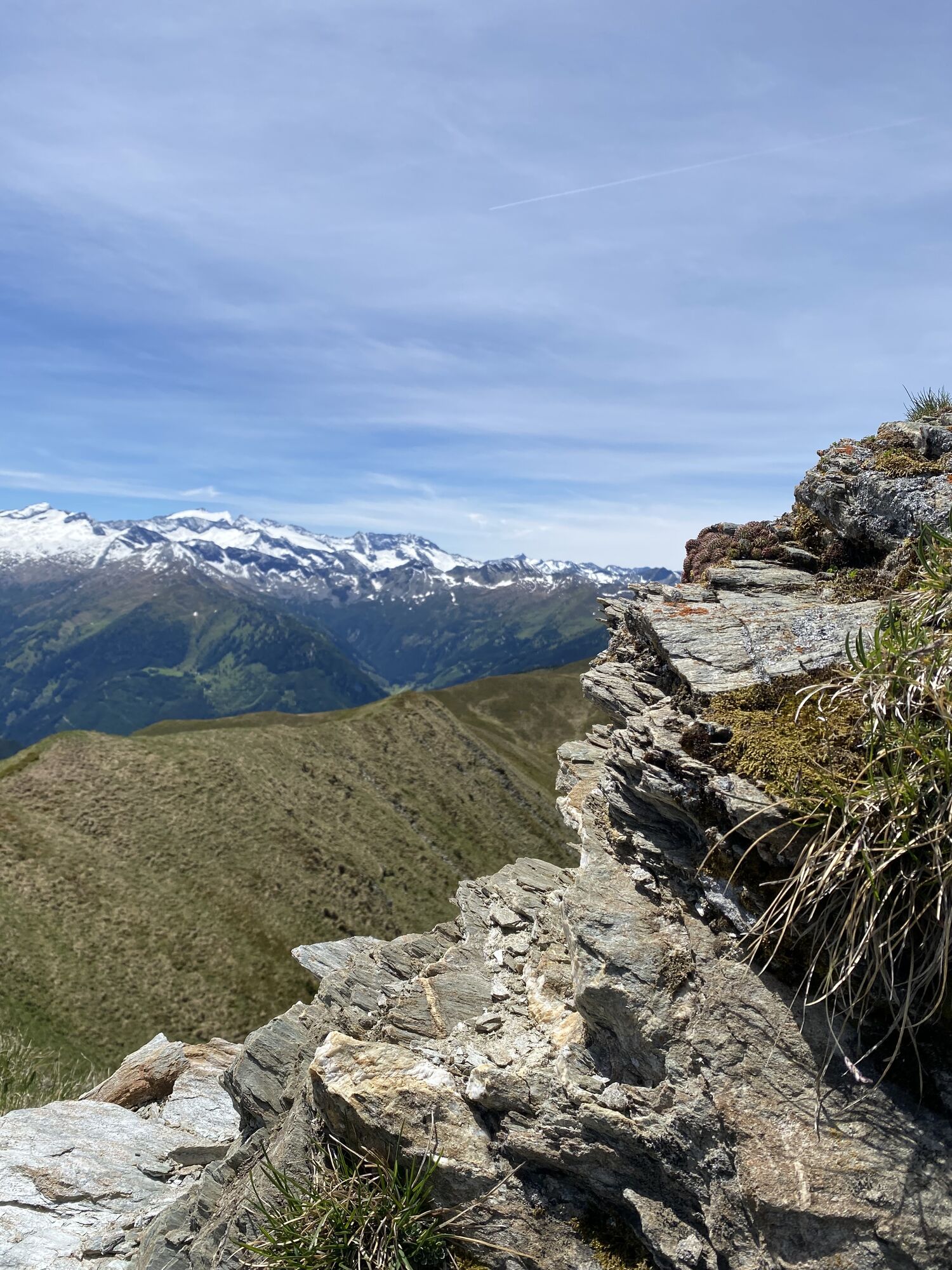
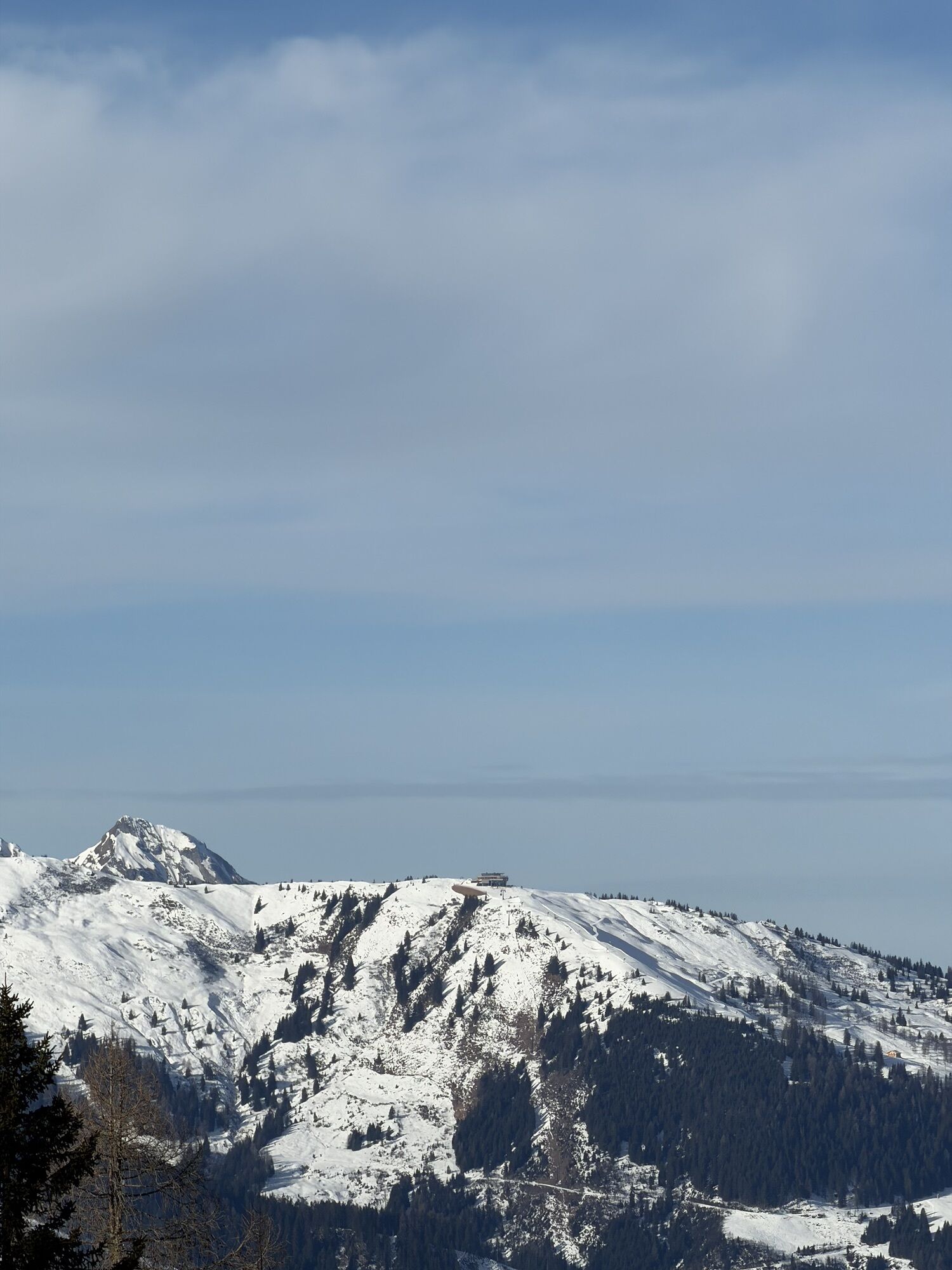
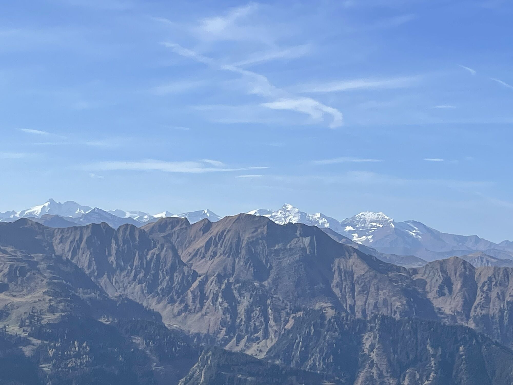
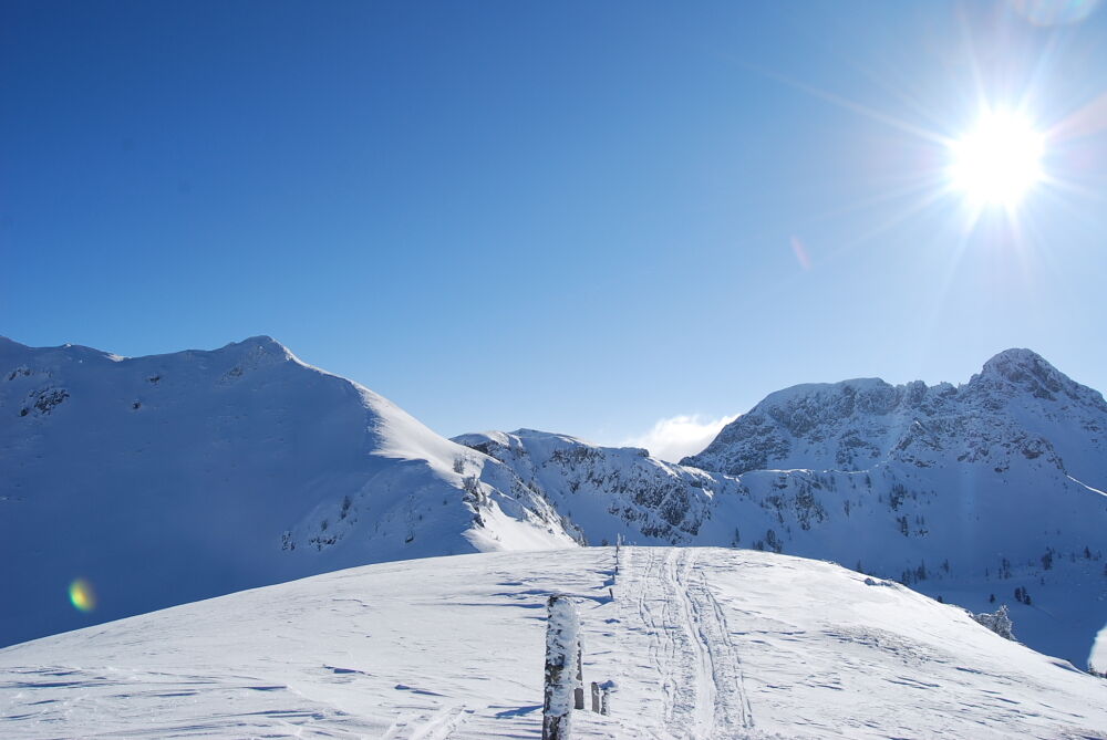
From the Filzmooshörndl you have a beautiful view of the surrounding mountain world – from the Hohe Tauern with the first three-thousand-meter peaks to the Hochkönig, the Tennen and Hagen mountains, as well as the Dachstein mountains.
ASCENT:approx. 3 hours
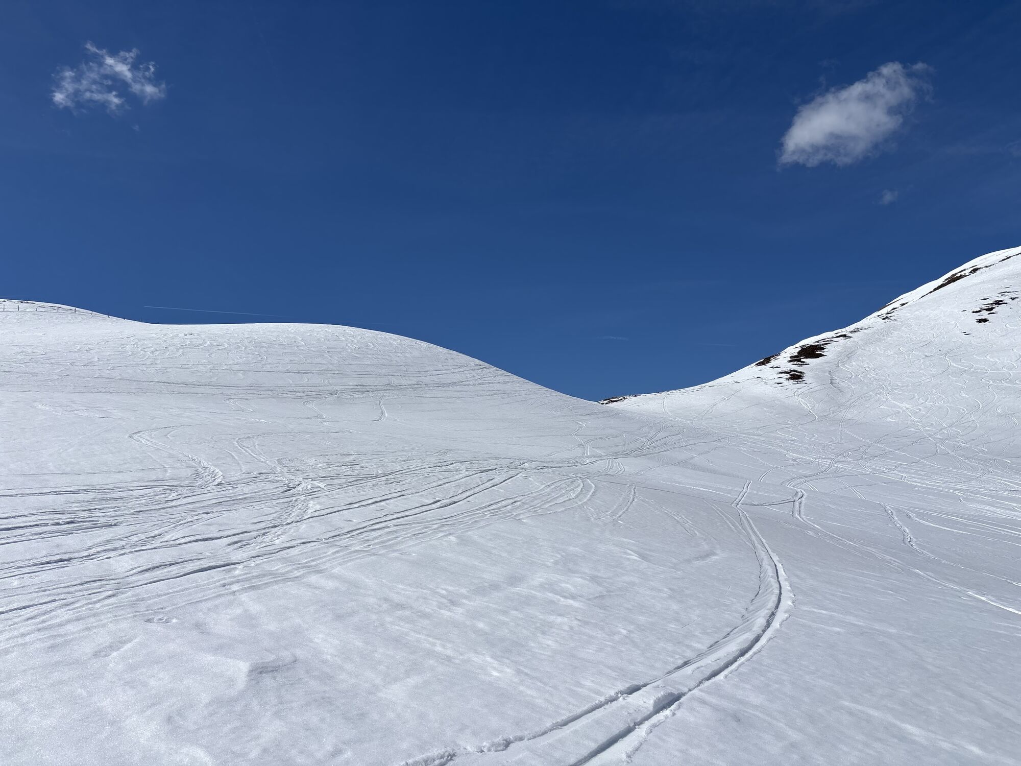
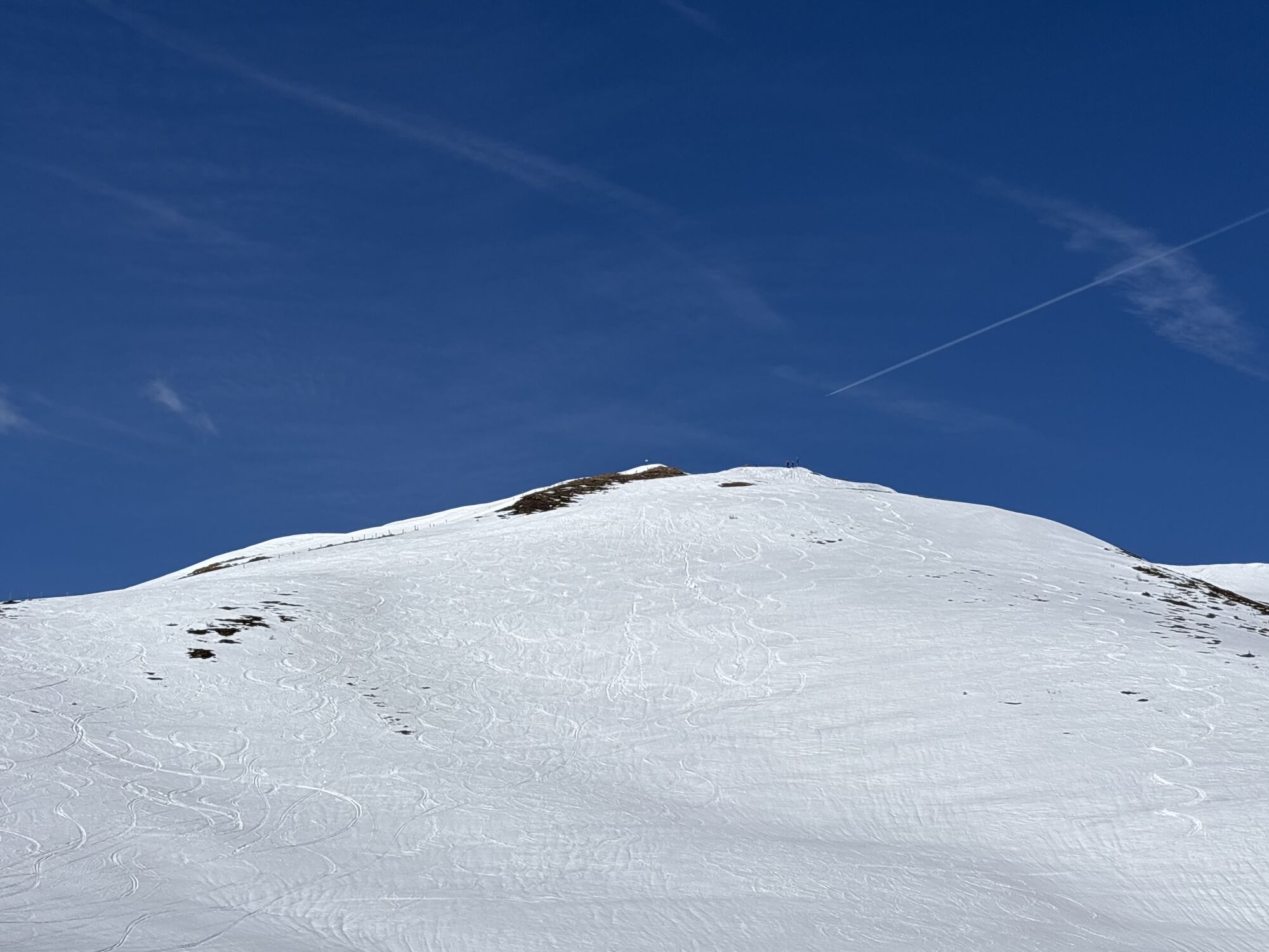
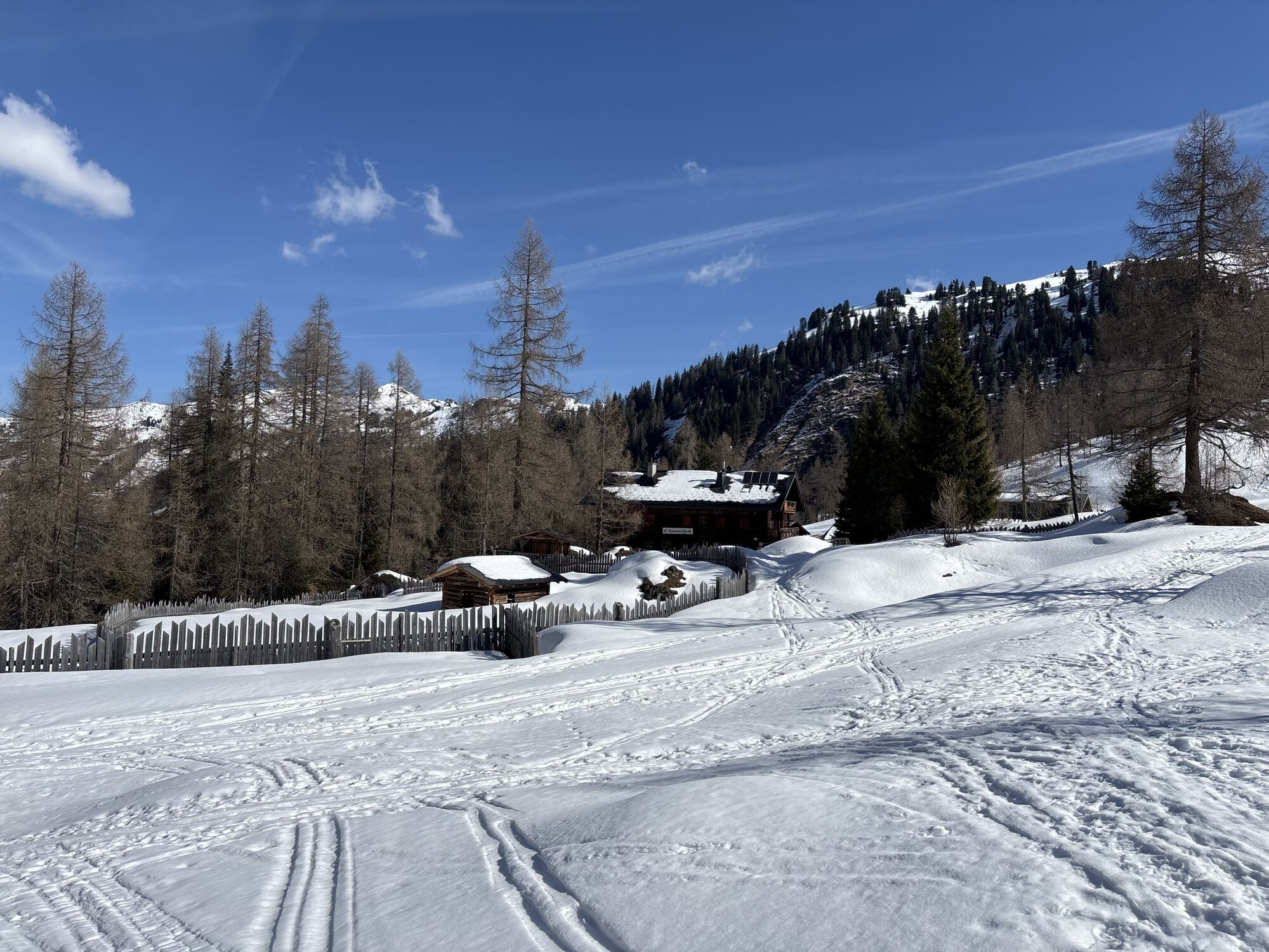
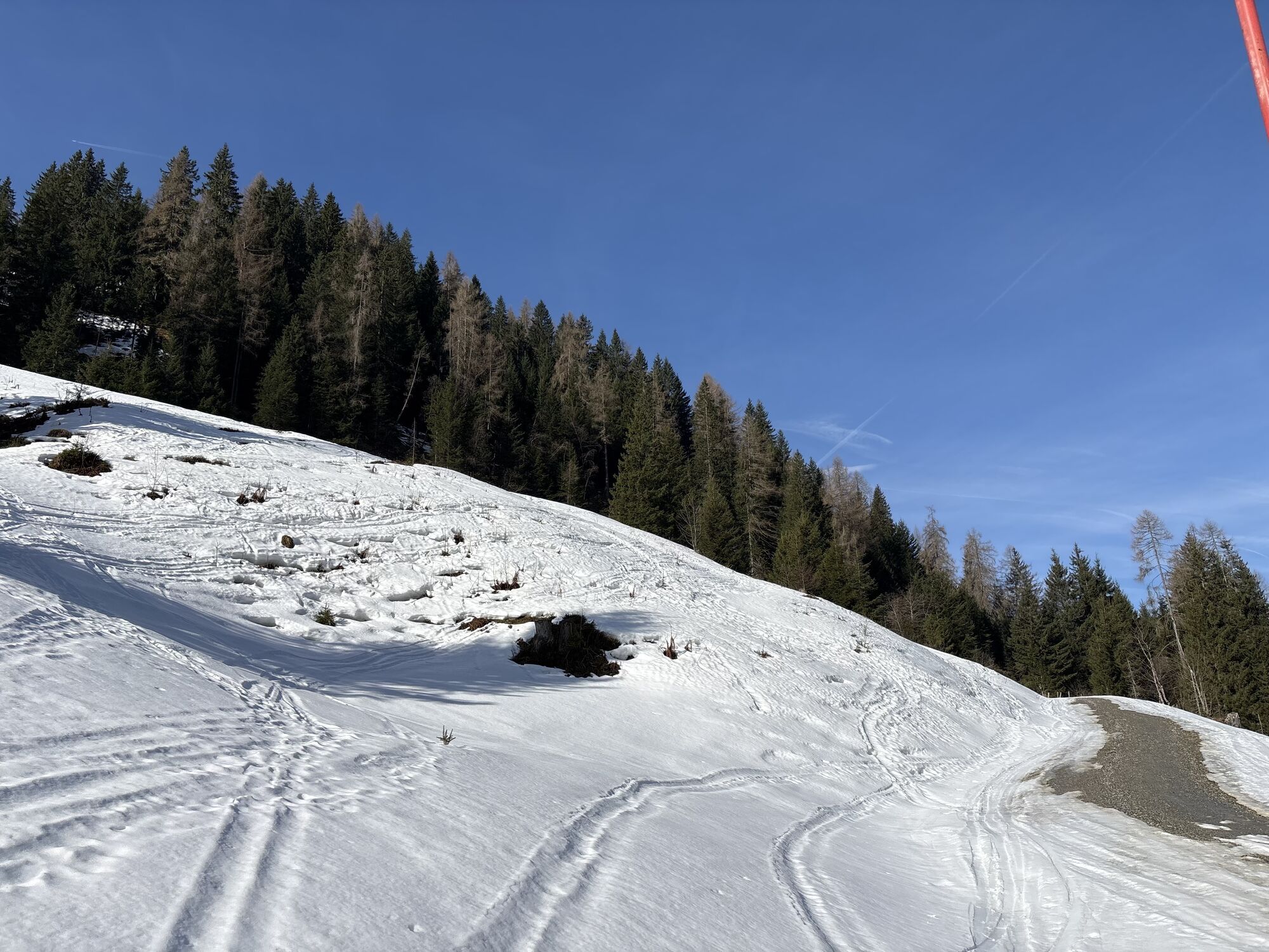
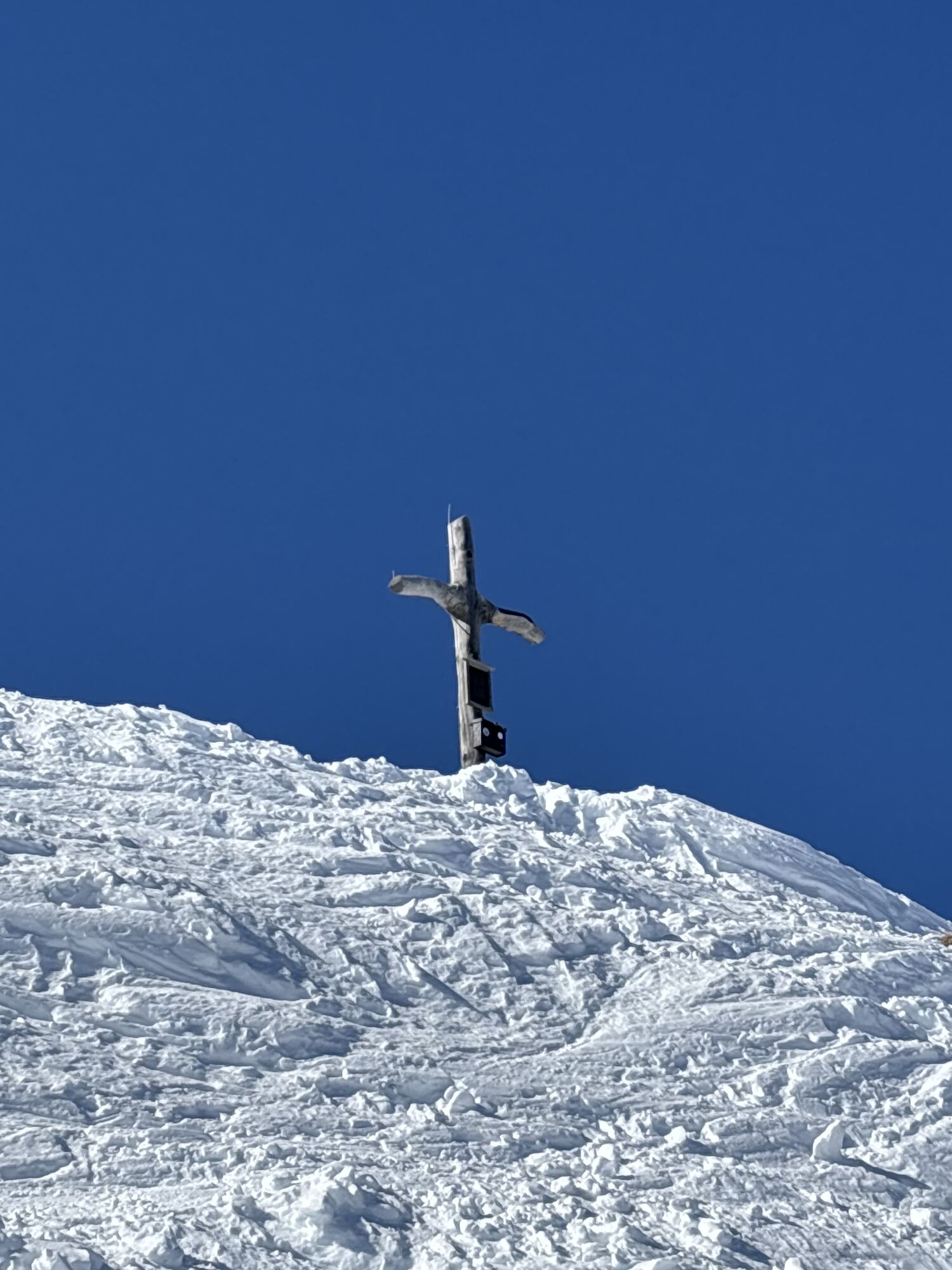
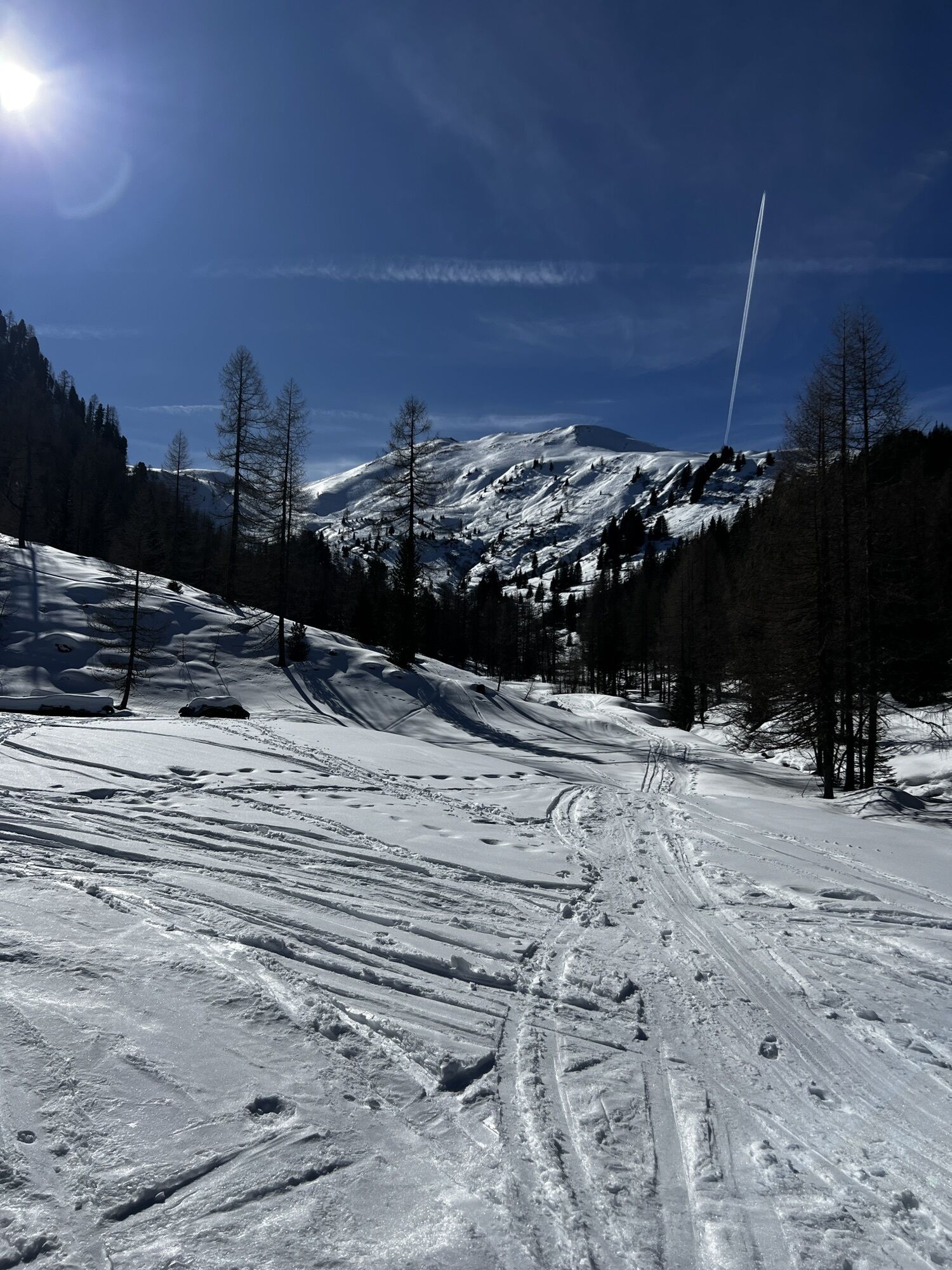
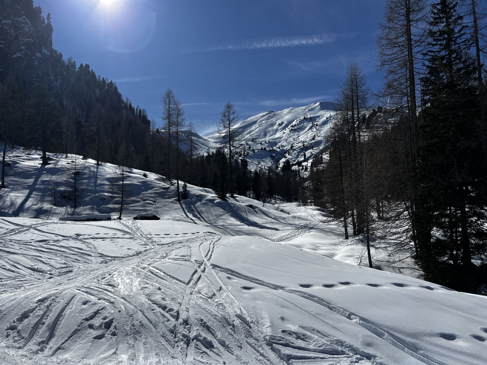
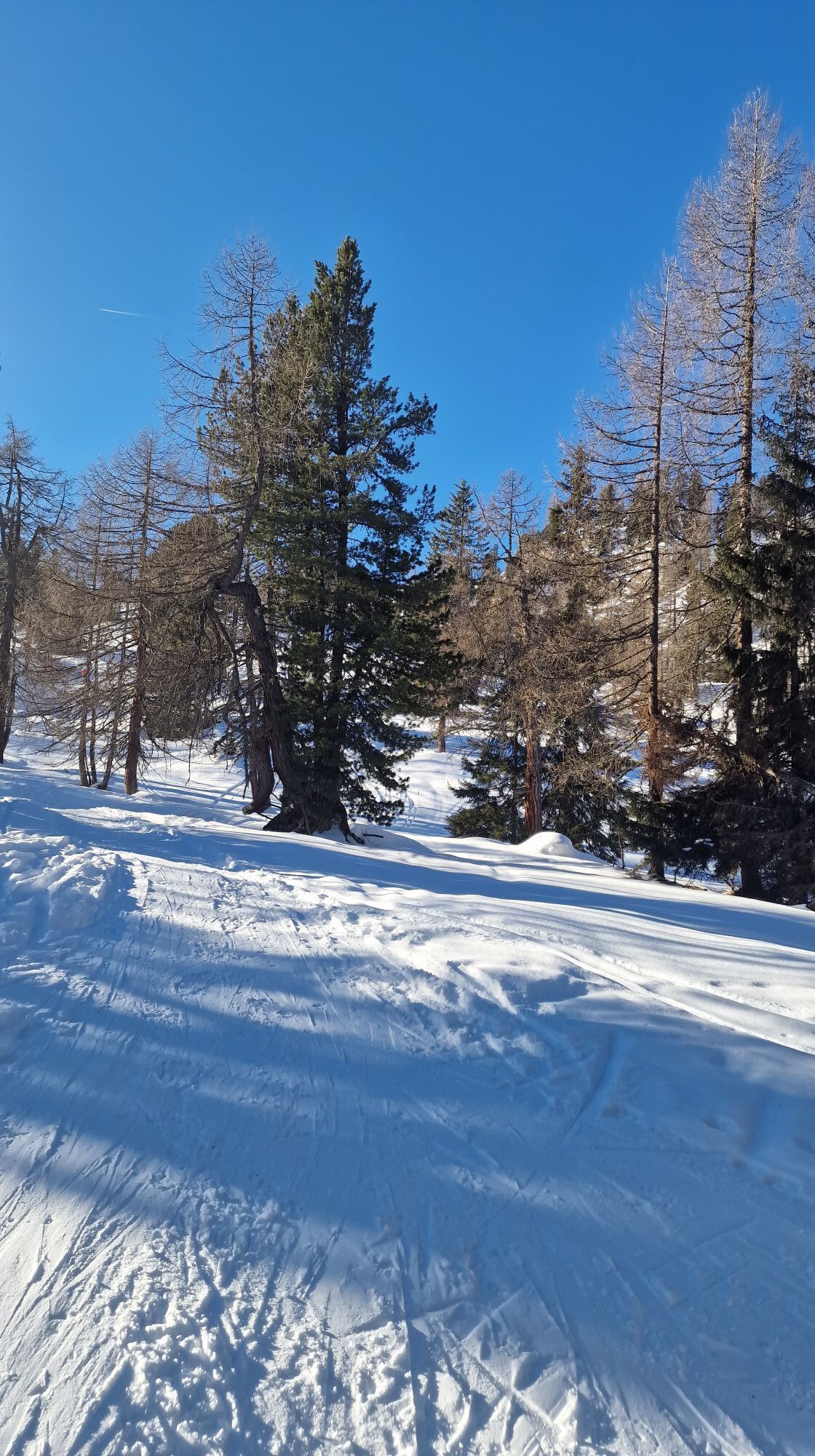
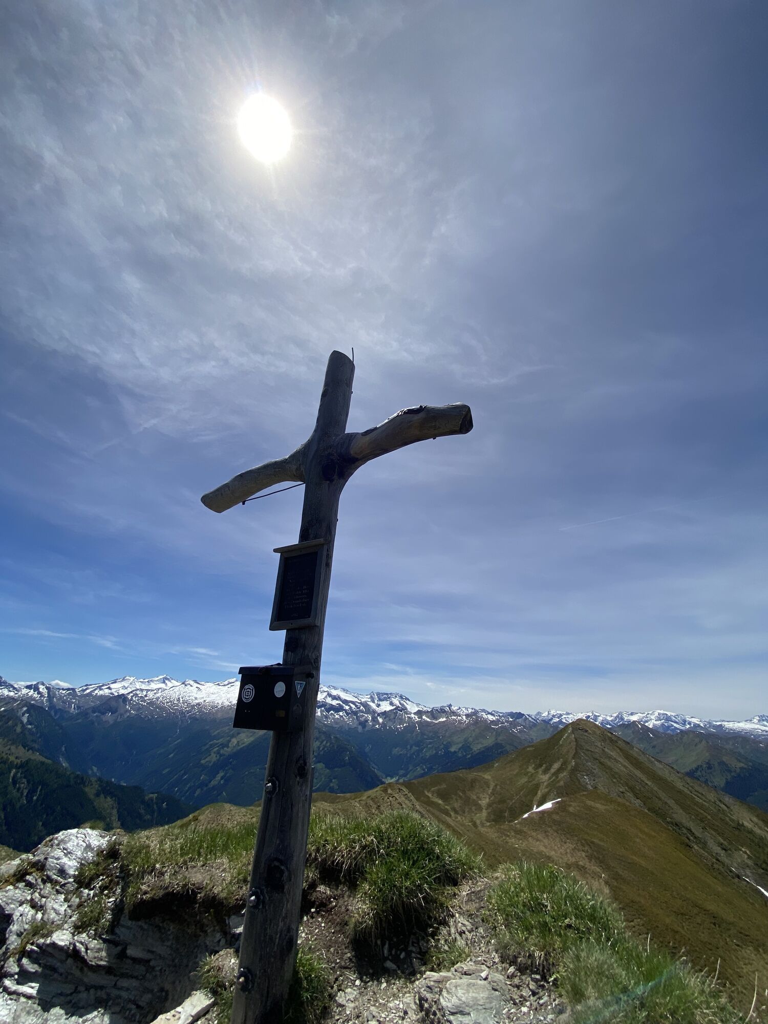
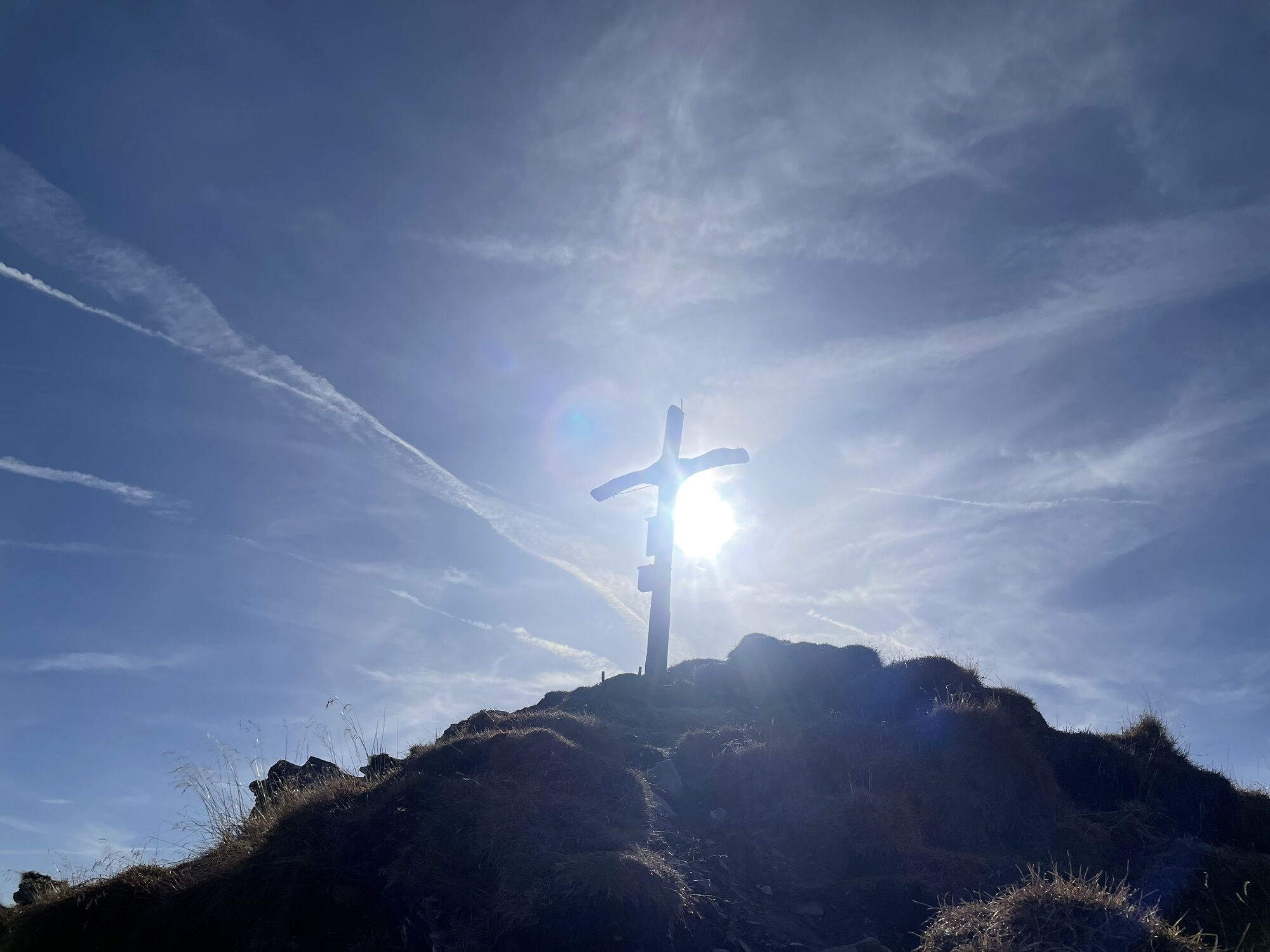
From the Grundlehen car park (LVS checkpoint), you can alternatively follow the hiking trail or the forest road to Filzmoosalm, 1,710 m. From there, you reach the extensive alpine area through a sparse larch and Swiss pine forest above the Harstein. Across this area, it is easy to go in a straight line to a saddle left of the summit. Turning right, you then ascend moderately along the mountain ridge to the summit cross of the Filzmooshörndl, 2,189 m.
DESCENT:approx. 1 hour
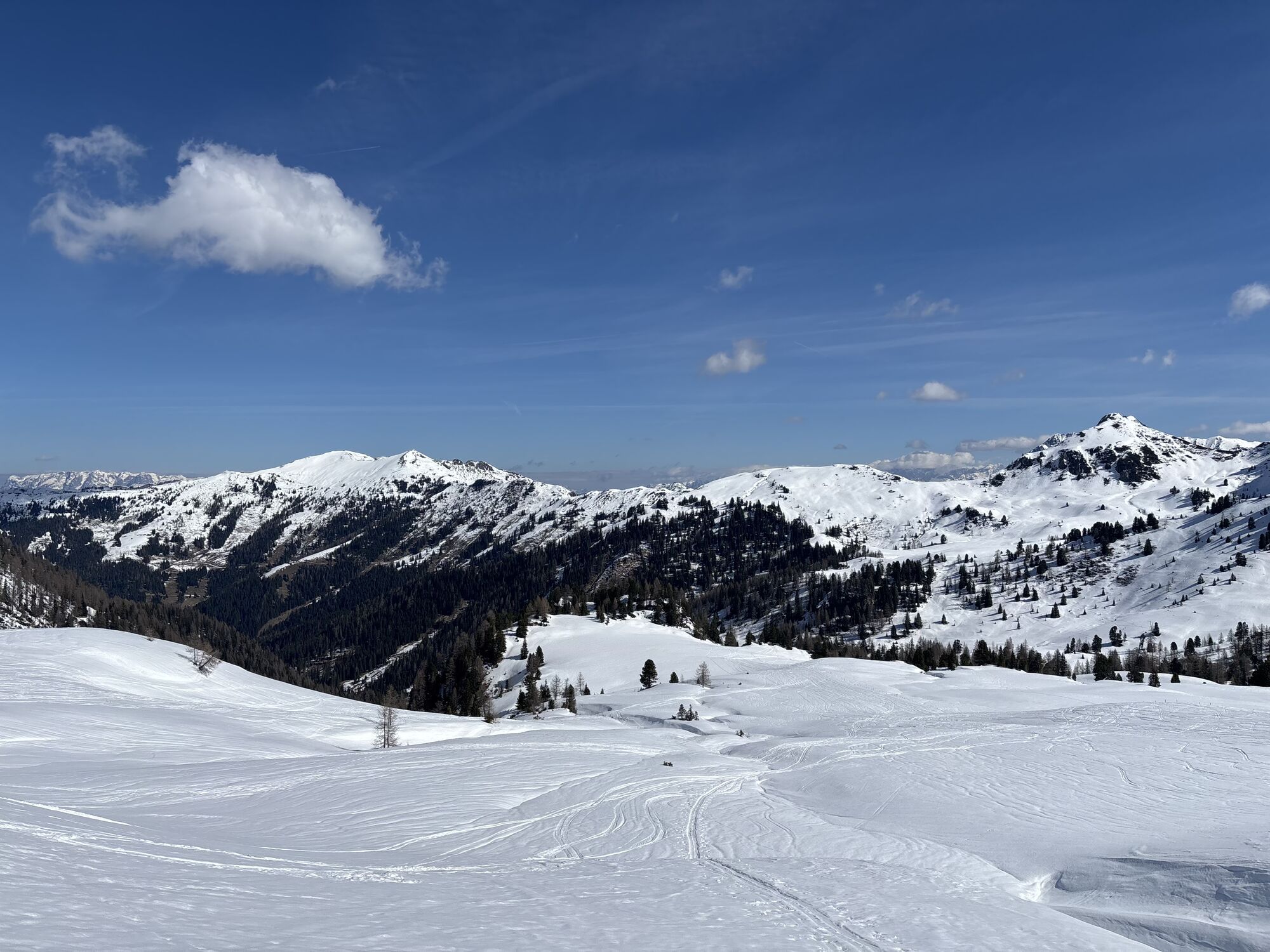
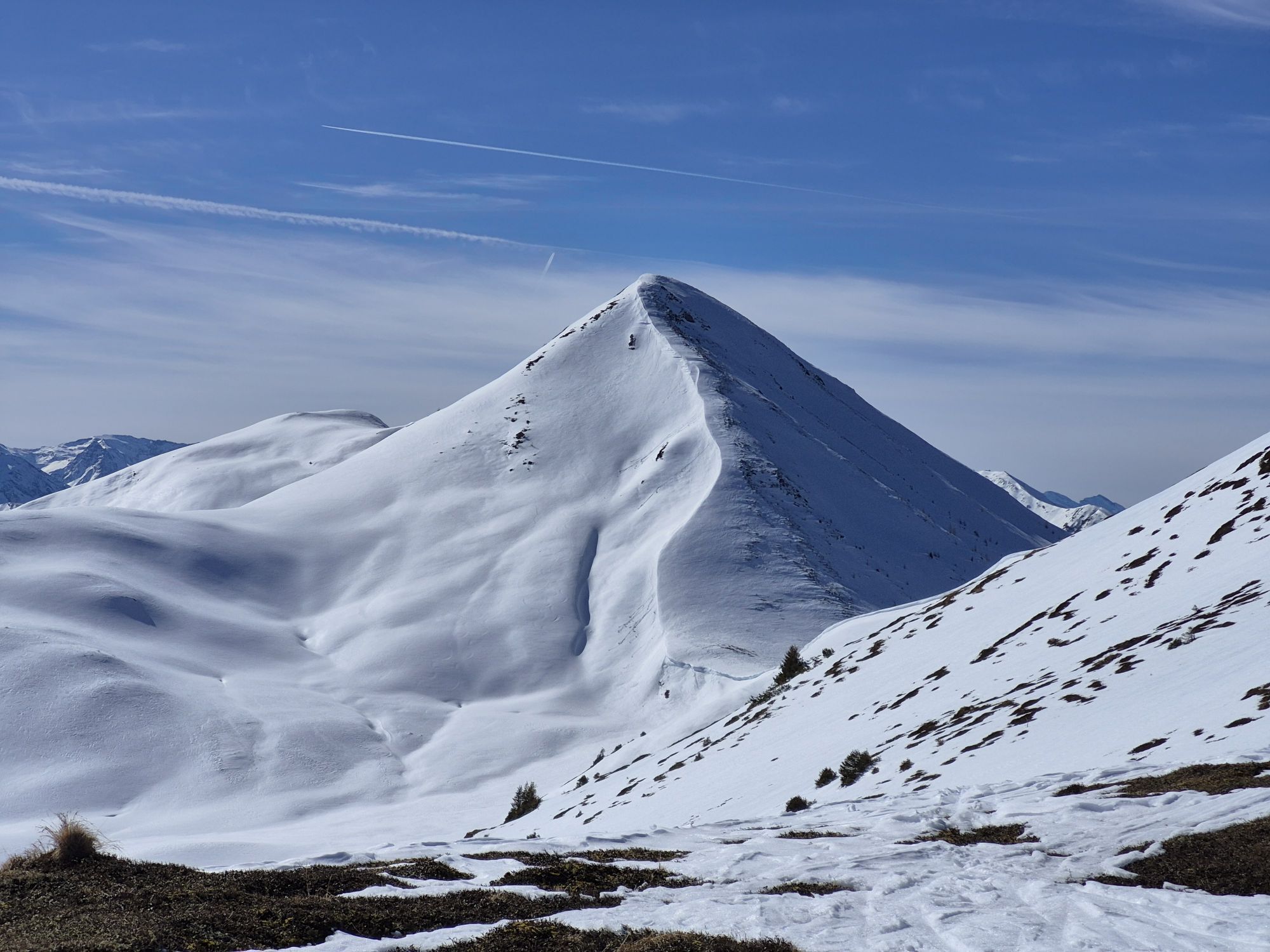
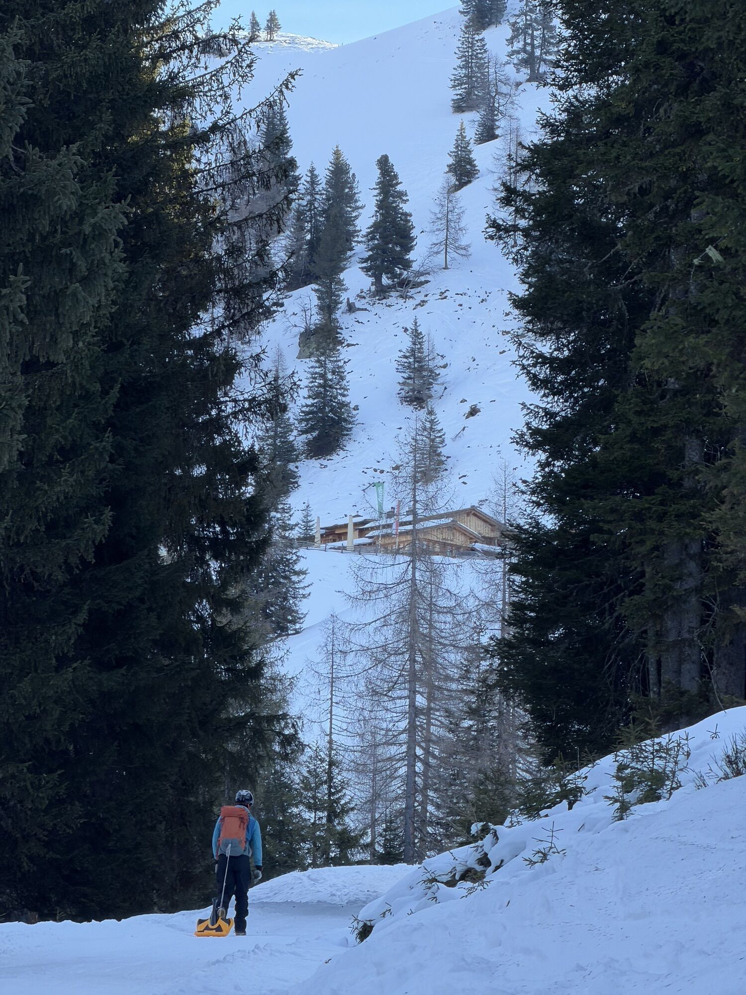
From the summit there are – depending on snow conditions – various descent options to Filzmoosalm. From there you can descend via the forest road back to the starting point or, if you have enough stamina left, climb 340 vertical meters to Loosbühel, 2,043 m, and descend to Loosbühelalm, 1,769 m (open in winter), which is open in winter. This option is recommended.
Da
Da
Ski touring equipment, avalanche transceiver, shovel, probe, mobile phone, first aid kit, and bivouac sack. An airbag system increases the chance of survival.
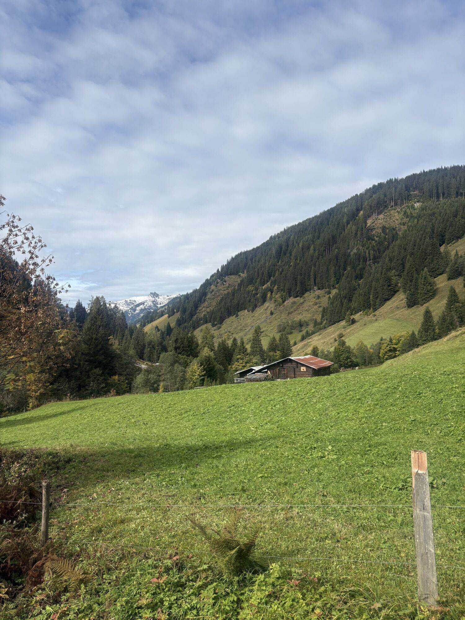
The starting point for this route is the Grundlehen parking lot (LVS checkpoint), 1,333 m. You reach this from St. Johann im Pongau by taking the Großarler Landesstraße (L109) as follows: At the Großarl-Mitte roundabout, take the 3rd exit to Ellmautal, continue to the market square, turn left there, and drive about 5.5 km into the Ellmautal.
Postbus Ellmautal no. 541 to Klausbauer
Grundlehen parking lot
In combination with Loosbühel, this route is a nice day tour. This also allows for a wonderful descent from Loosbühel.
Priljubljeni izleti v okolici
- 4.9
Großarl: Aualm - Liechtensteinkopf - Aukopf - Schuhflicker - Schuhflickersee
srednjaPohodništvo 5.84 km - 5.0
Großarl: Alpine pasture circuit in Ellmautal
srednjaPohodništvo 9.69 km - 4.7
Großarl: Mooslehenalm – Niggeltalalm – Viehhausalm
srednjaPohodništvo 5.44 km - 4.1
Tappenkarsee Kleinarl
srednjaPohodništvo 9.11 km - 4.5
Mountain route from the Kötschachtal to the natural jewel Reedsee
srednjaPohodništvo 12.5 km - 4.8
Höhenweg vom Grünen Baum bis Bad Hofgastein
svetlobaPohodništvo 7.92 km - 4.6
Großarl: Saukaralm - Saukarkopf - Gerstreitalm
srednjaPohodništvo 9.39 km - 4.6
Bahnhof Bad Hofgastein nach Bahnhof Bad Gastein
srednjaPohodništvo 13.0 km - 4.7
Bad Hofgastein Bergbahn Parkplatz - Rastötzenalm Bad Hofgastein
srednjaMountainbike 16.9 km - 5.0
Hüttschlag: Karteistörl - Tappenkarsee - Draugsteintörl - Draugsteinalmen
srednjaPohodništvo 13.5 km
Pohodništvo in sledenje


Ne zamudite ponudb in navdiha za naslednje počitnice
Vaš e-poštni naslov je bil dodan na poštni seznam.