



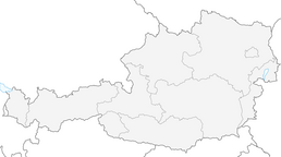


E-bike tour into the Nadernachtal
Fotografije naših uporabnikov
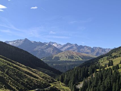
 © Tobias PeschanelUstvarjeno na 21.09.2025
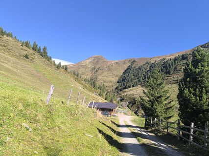 © Tobias PeschanelUstvarjeno na 21.09.2025
 © Tobias PeschanelUstvarjeno na 21.09.2025
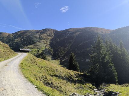 © Tobias PeschanelUstvarjeno na 21.09.2025
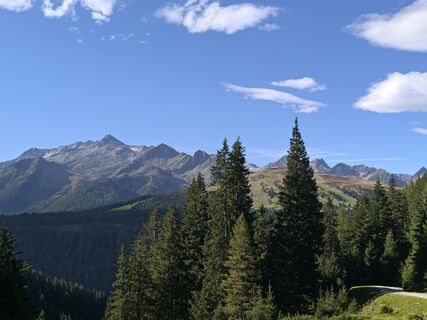 © Tobias PeschanelUstvarjeno na 21.09.2025
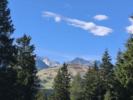 © Tobias PeschanelUstvarjeno na 21.09.2025
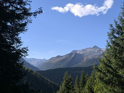 © Tobias PeschanelUstvarjeno na 21.09.2025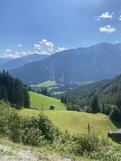
 © Johannes Müller 5Ustvarjeno na 15.08.2023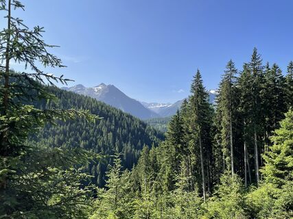
 © Ralf UmmingerUstvarjeno na 07.07.2023
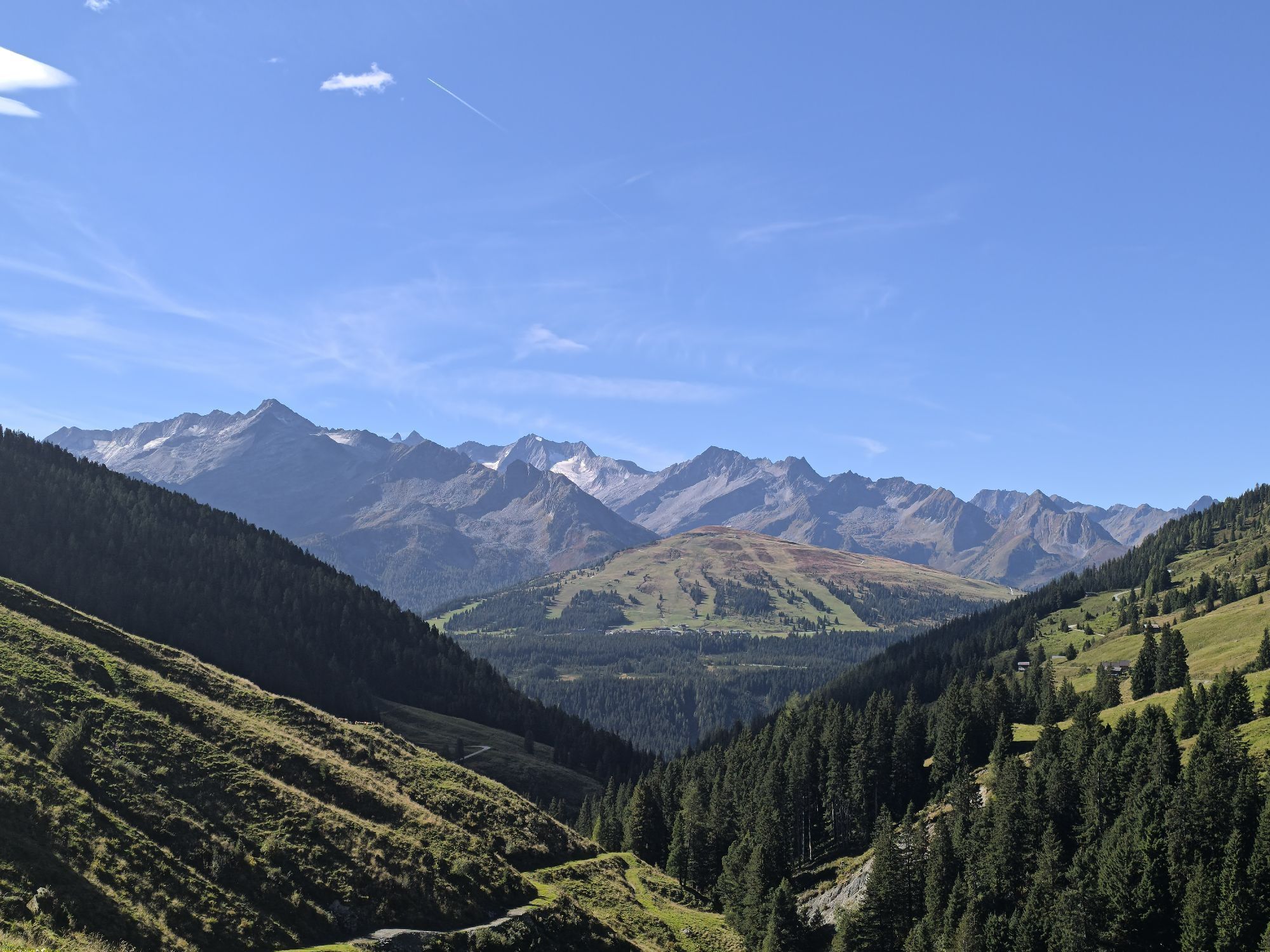
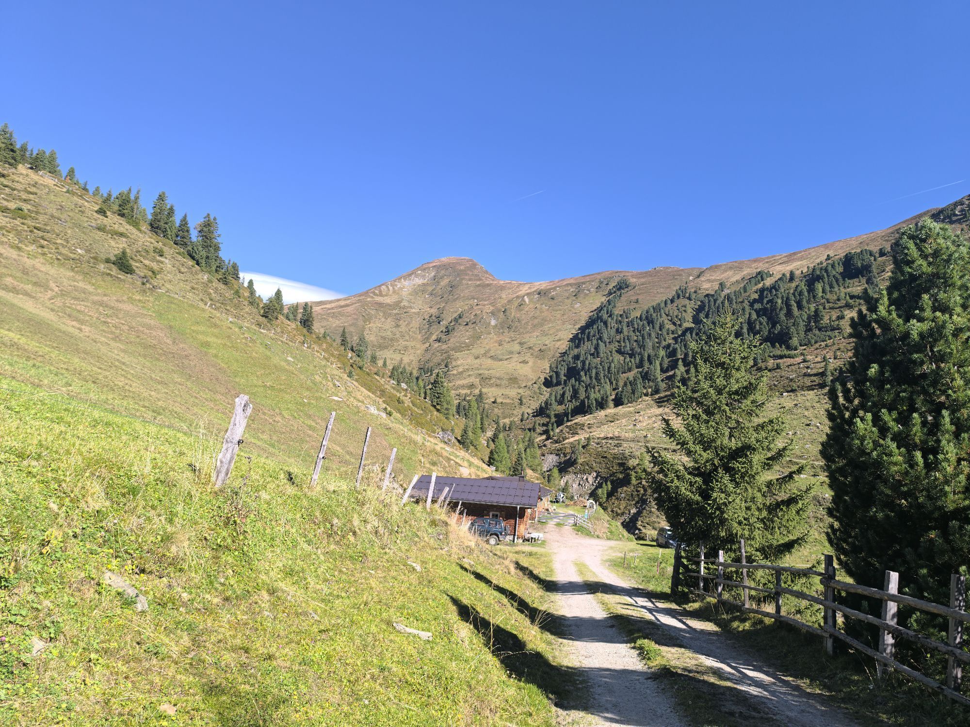
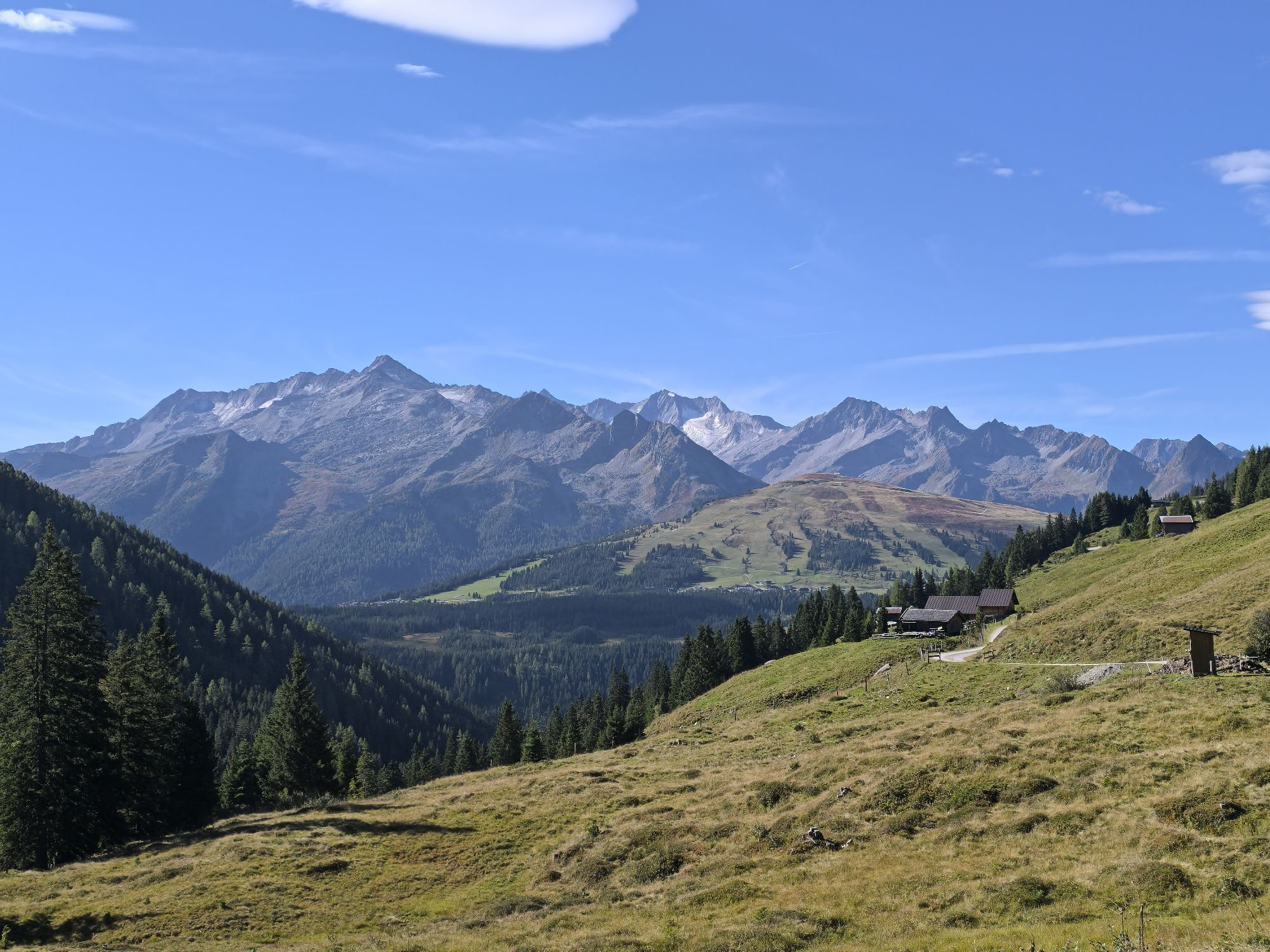
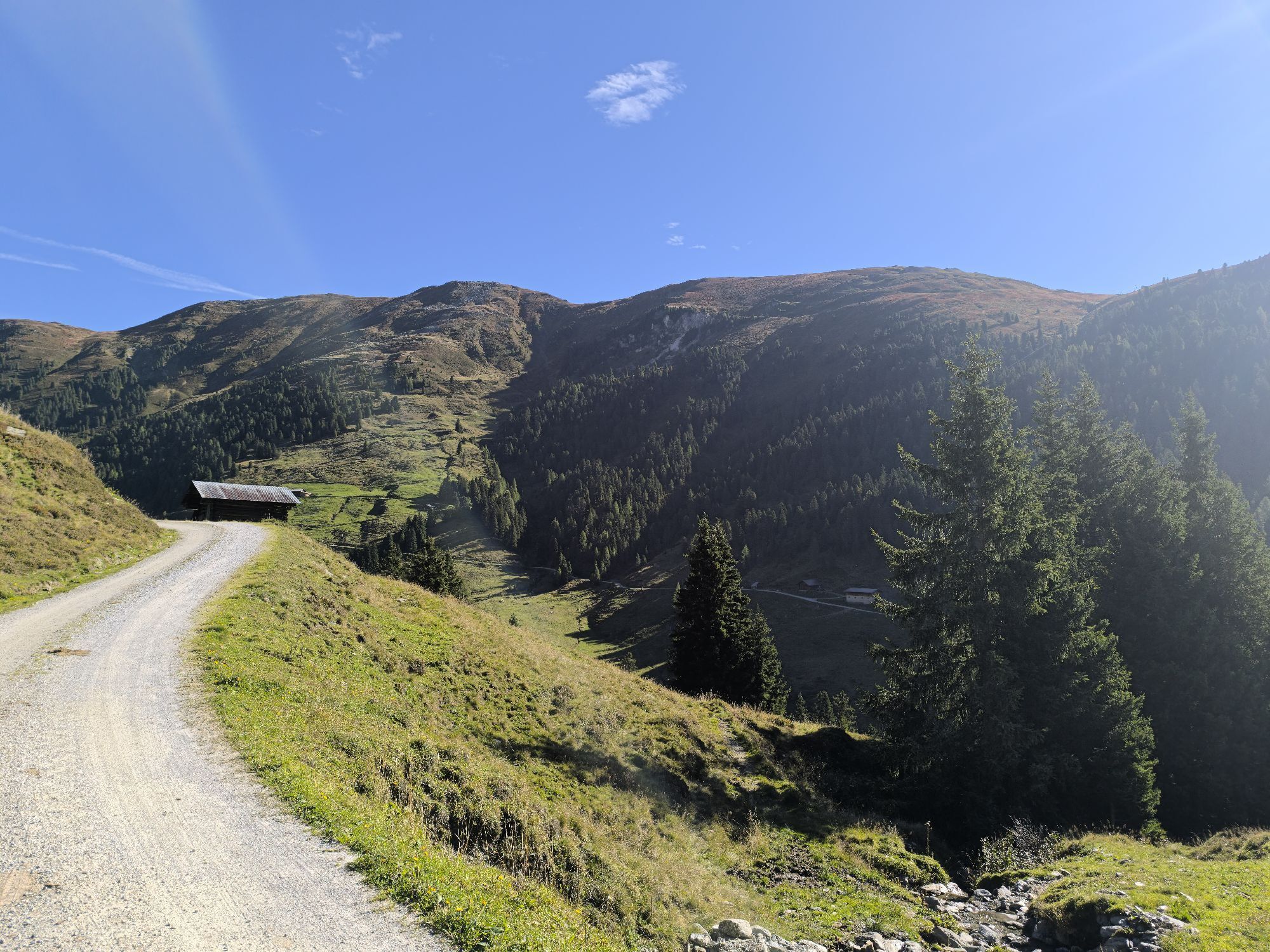
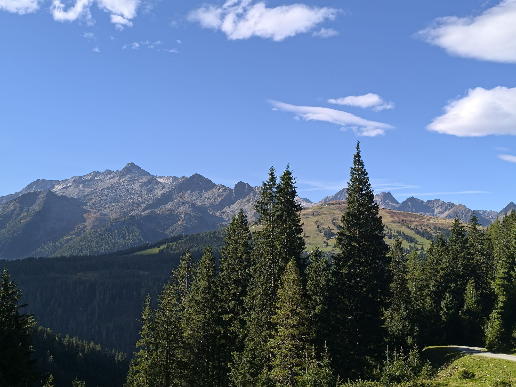
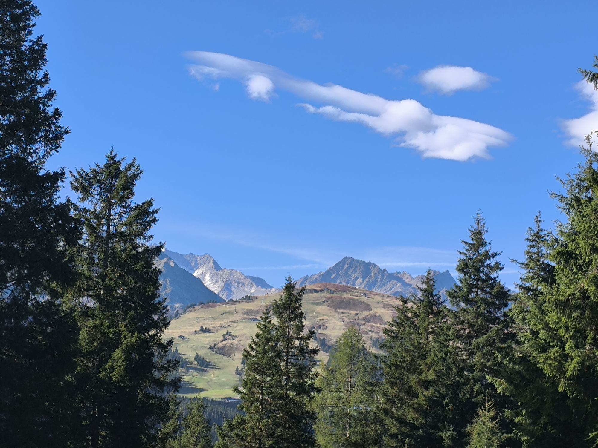
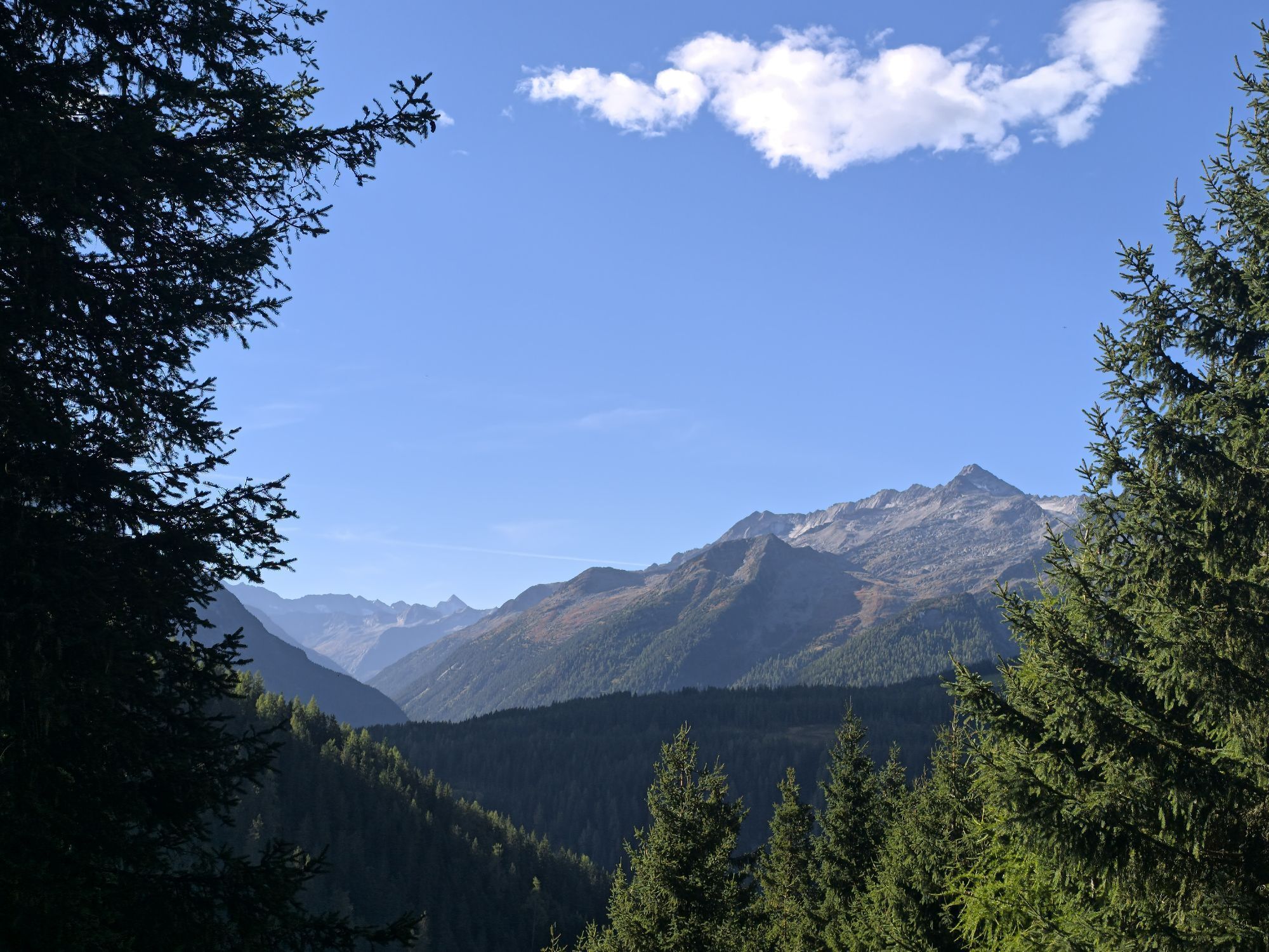
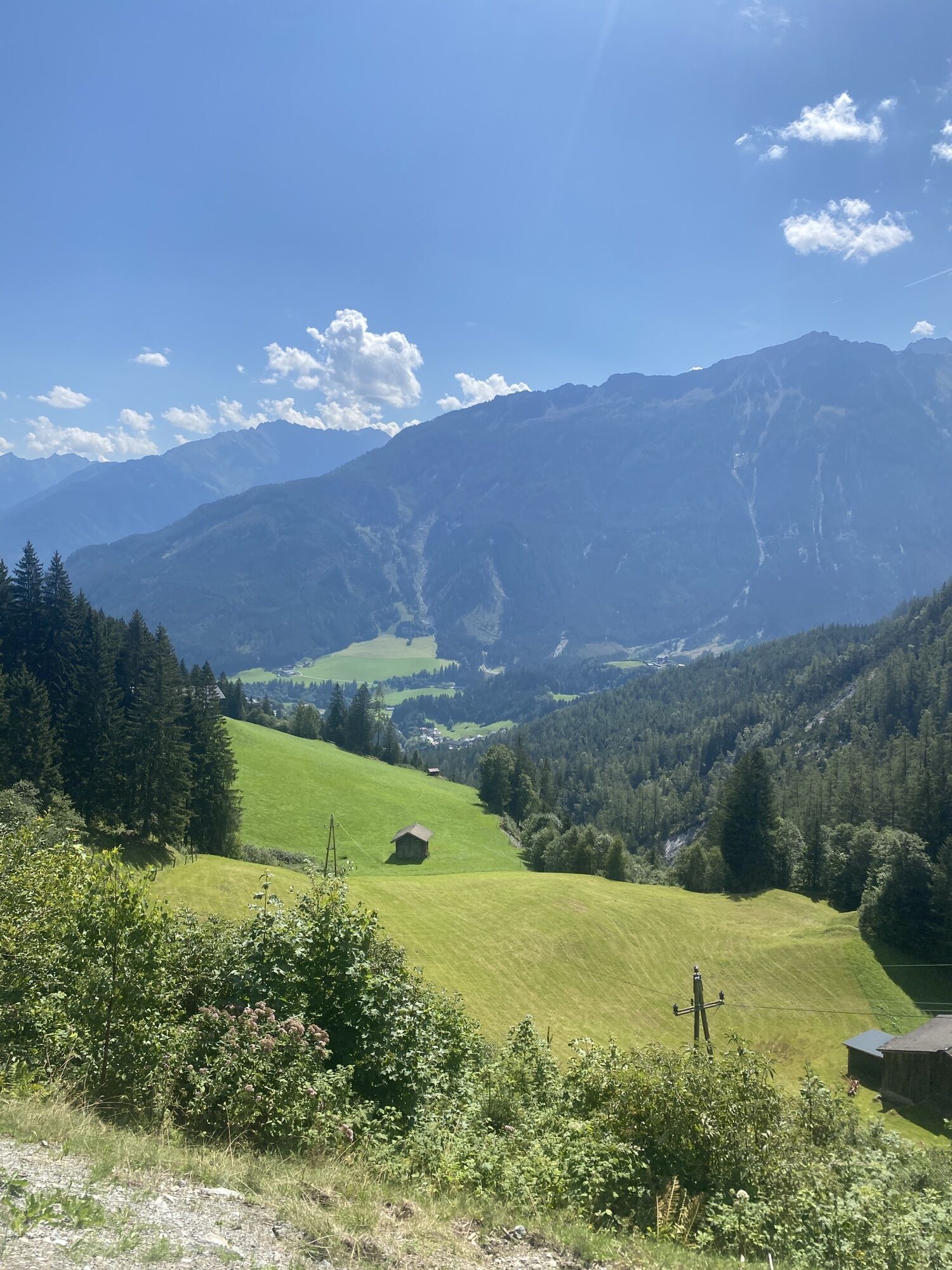
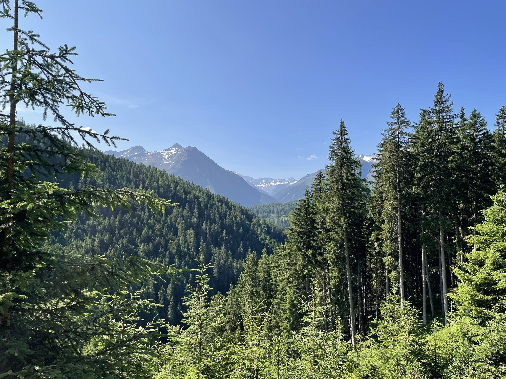
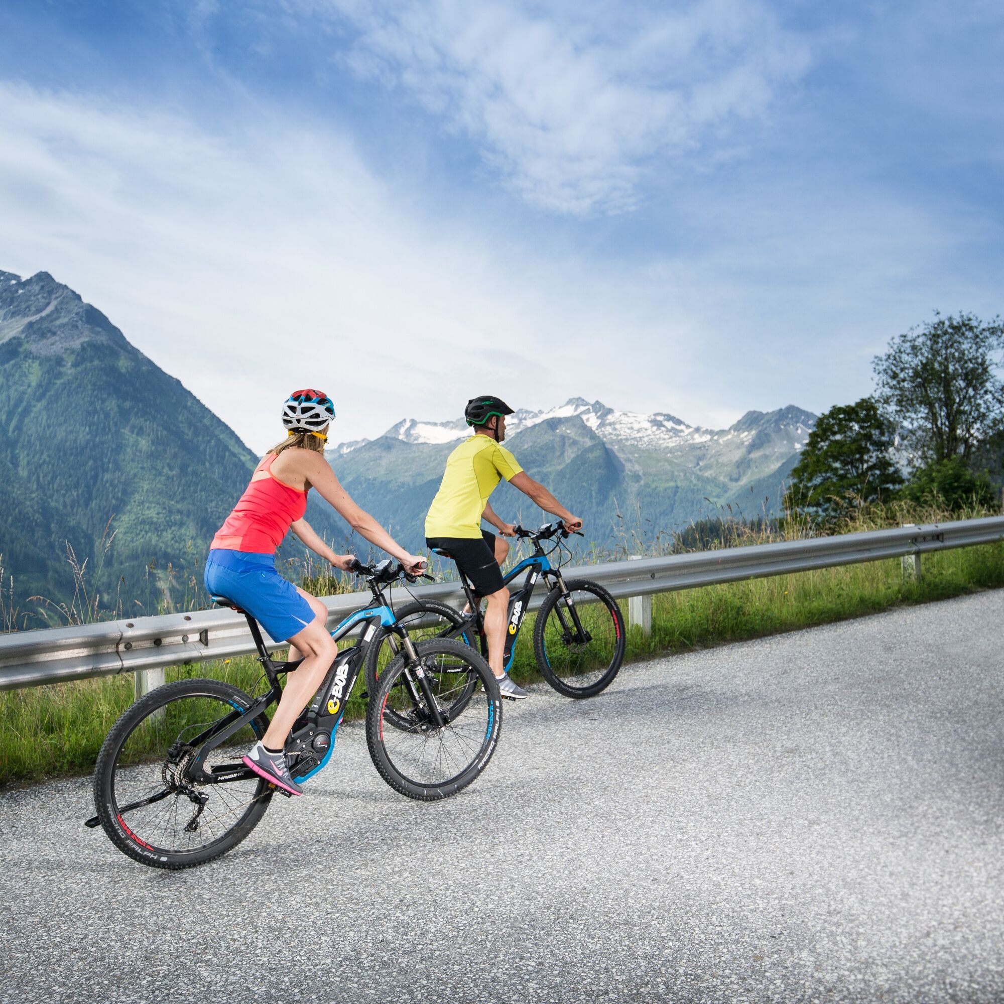
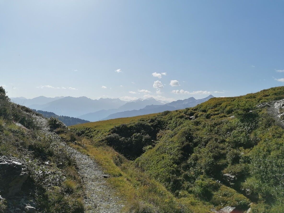
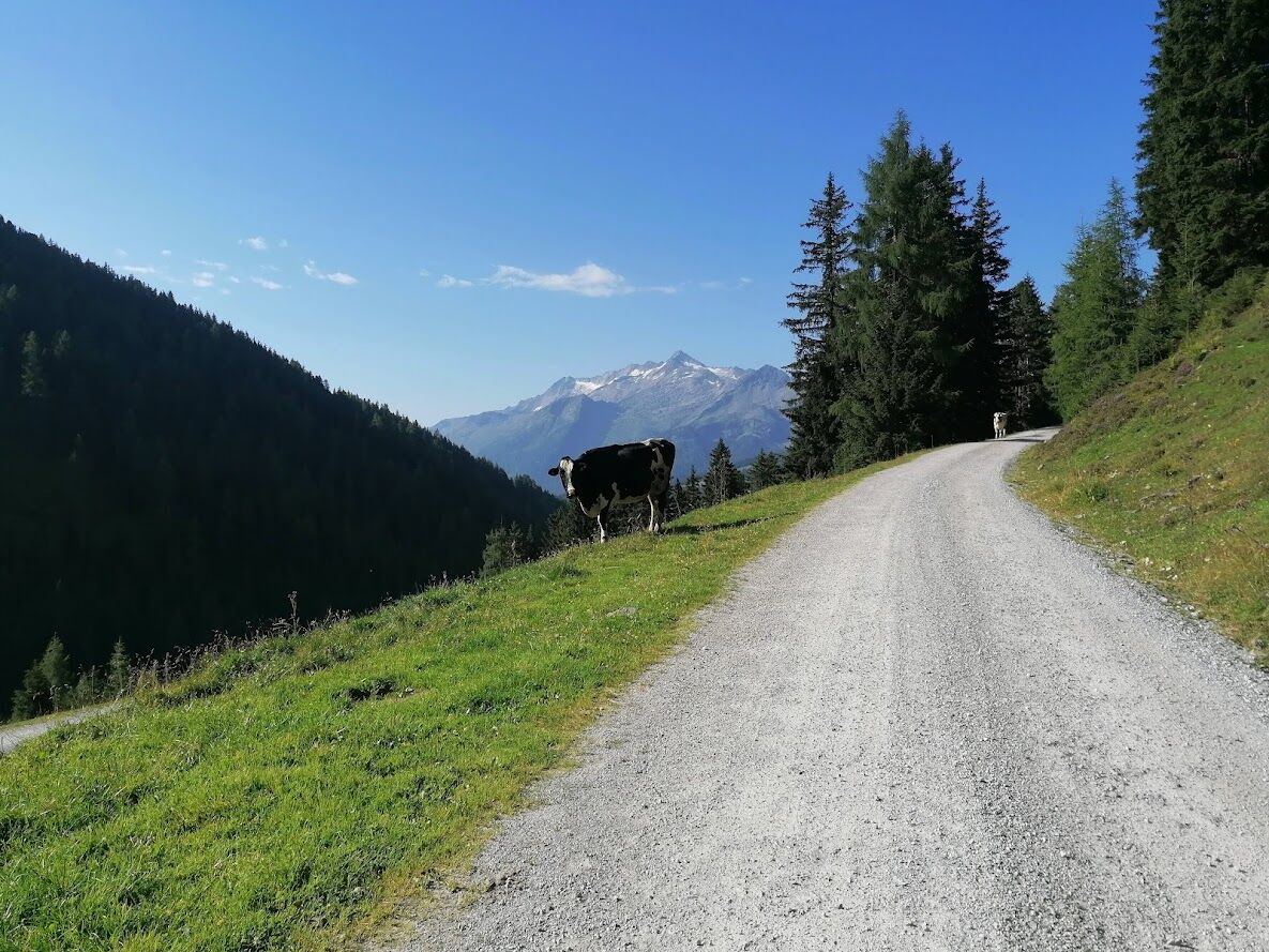
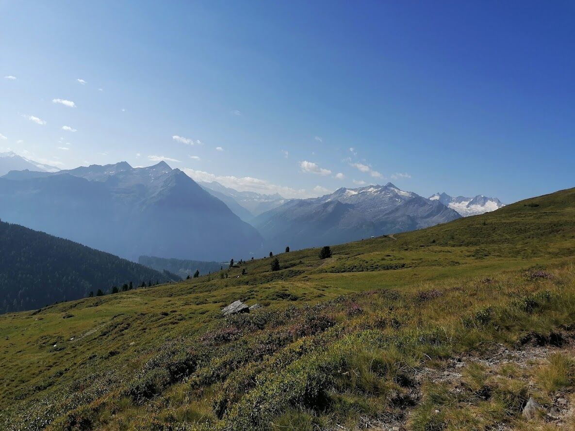
In the center of Wald, turn at the church onto the B 165, along the old Gerlos road about 3 km to the mountain hotel Ronach. There turn right into the Nadernachtal, through a forest you get to the Hieburgalm....
In the center of Wald, turn at the church onto the B 165, along the old Gerlos road about 3 km to the mountain hotel Ronach. There turn right into the Nadernachtal, through a forest you get to the Hieburgalm. A great biking circuit over the Watschalm and Bacheralm in the middle of the Pinzgau grass mountains - pure nature! Return to Wald along the same route. Bike route No. 2F
HIKE TIP Ronachgeier: From the rustic Putz- and Prielalm, hike along the marked trail for about 1.5 hours to the Ronachgeier and enjoy the magnificent panorama!
E-bike charging station at the Schroll bakery in Wald!
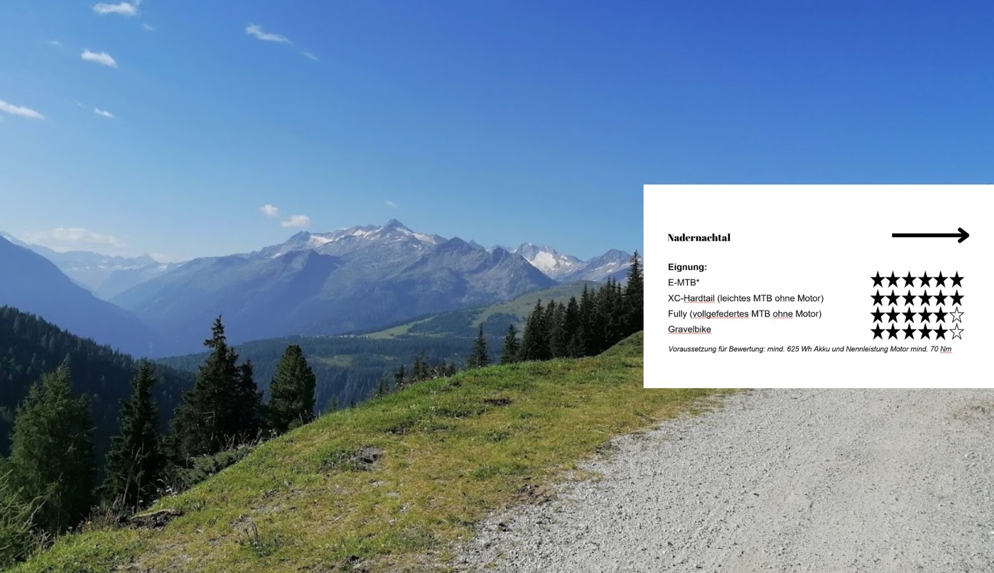
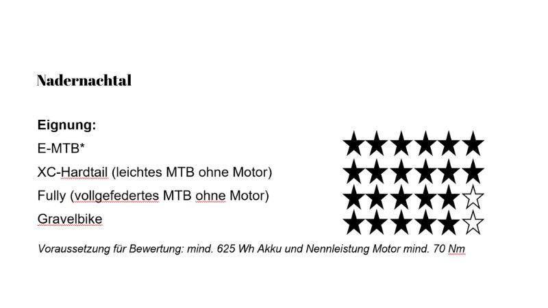

Bike route No. 2F
Helmet and appropriate biking equipment!
Adapt your riding style to your own skills!
Via the A10 Tauern motorway to Werfen, continue on the B 311 to Schwarzach, Zell am See, then on the B 168 to Mittersill and further on the B 165 to Wald.
OR: Via the A 12 coming from Munich to the Kufstein South exit (St. Johann-Kitzbühel-Pass Thurn) and continue on the B 165 to Wald.
Or: Via Achensee (Achenpass) and Zillertal, continue on the B 169 to Zell am Ziller and the B 165 Hainzenberg and Gerlospass to Wald.
www.oebb.at
By bus or train to the starting point in Wald
www.oebb.at
https://salzburg-verkehr.at/
Free parking is available in Wald
Tourist office Wald/Königsleiten
5742 Wald 126
+436565 8243
www.wald-koenigsleiten.at
Stopover at the mountain hotel Ronach
Spletne kamere s turneje
Königsleiten - Wald im Pinzgau
Filzsteinalm
Panoramarestaurant Filzsteinalm (Gerlosplatte)
Mitterleger Bergstation
Krimmler Wasserfall
Krimml - WasserWelten
Filzalmsee
Brantlalmsee
Panorama Königsleiten
Königsleiten - Wald im Pinzgau
Königsleiten - Wald im Pinzgau
Königsleiten - Wald im Pinzgau
Königsleiten - Wald im Pinzgau
Königsleiten - Wald im Pinzgau
Königsleiten - Wald im Pinzgau
Königsleiten - Wald im Pinzgau
Hochkrimml - Plattenalm
Hochkrimml - Plattenalm
Panorama Königsleiten
Panorama Königsleiten
Panorama Königsleiten
Panorama Königsleiten
Pridobite vpogled Vedno v živo na mestu z več kot 9.500 spletnimi kamerami. bergfex Kot uporabnik Pro si lahko zdaj ogledate ustrezne spletne kamere za številne izlete v aplikaciji izleti iz. Tako si lahko neposredno ogledate trenutne razmere. Priljubljeni izleti v okolici
- 4.3
Gerlos: Stausee Rundwanderung
srednjaPohodništvo 12.5 km - 4.7
Zittauer Hut
srednjaPohodništvo 6.85 km - 3.7
Smaragdwanderweg Habachtal/Bramberg
svetlobaPohodništvo 7.17 km - 4.3
Krimml Waterfall Path - Panorama Viewing Path
srednjaPohodništvo 4.74 km - 4.3
Krimmler Tauernhaus
srednjaPohodništvo 10.4 km - 4.5
Route 208: Windautal - Rotwandalm/Filzenscharte
težkoMountainbike 22.8 km - 4.7
Krimmlerwasserfälle
srednjaPohodništvo 10.5 km - 4.5
Kröndlhorn (2.444m)
težkoPohodništvo 13.5 km - 4.7
Frühmesser
srednjaPohodništvo 10.6 km - 4.8
Krimmler Achental
srednjaE-kolesa 18.4 km

Pohodništvo in sledenje


Ne zamudite ponudb in navdiha za naslednje počitnice
Vaš e-poštni naslov je bil dodan na poštni seznam.





