
Day hike on the Forststeig
težko
Pridobite to turo v svoj mobilni telefon
Day hike on the Forststeig
težko
Pohodništvo
20.75
km
Skenirajte kodo QR in začnite navigacijo v aplikaciji bergfex.


Pohodništvo in sledenje





Day hike on the Forststeig
težko
Razdalja
20.8
km
Trajanje
06:05
h
Ascent
430
hm
Morska gladina
376 -
561
m
Prenos skladbe
Day hike on the Forststeig
težko
Pohodništvo
20.75
km
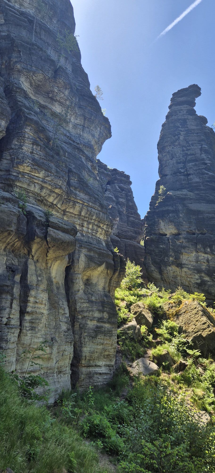
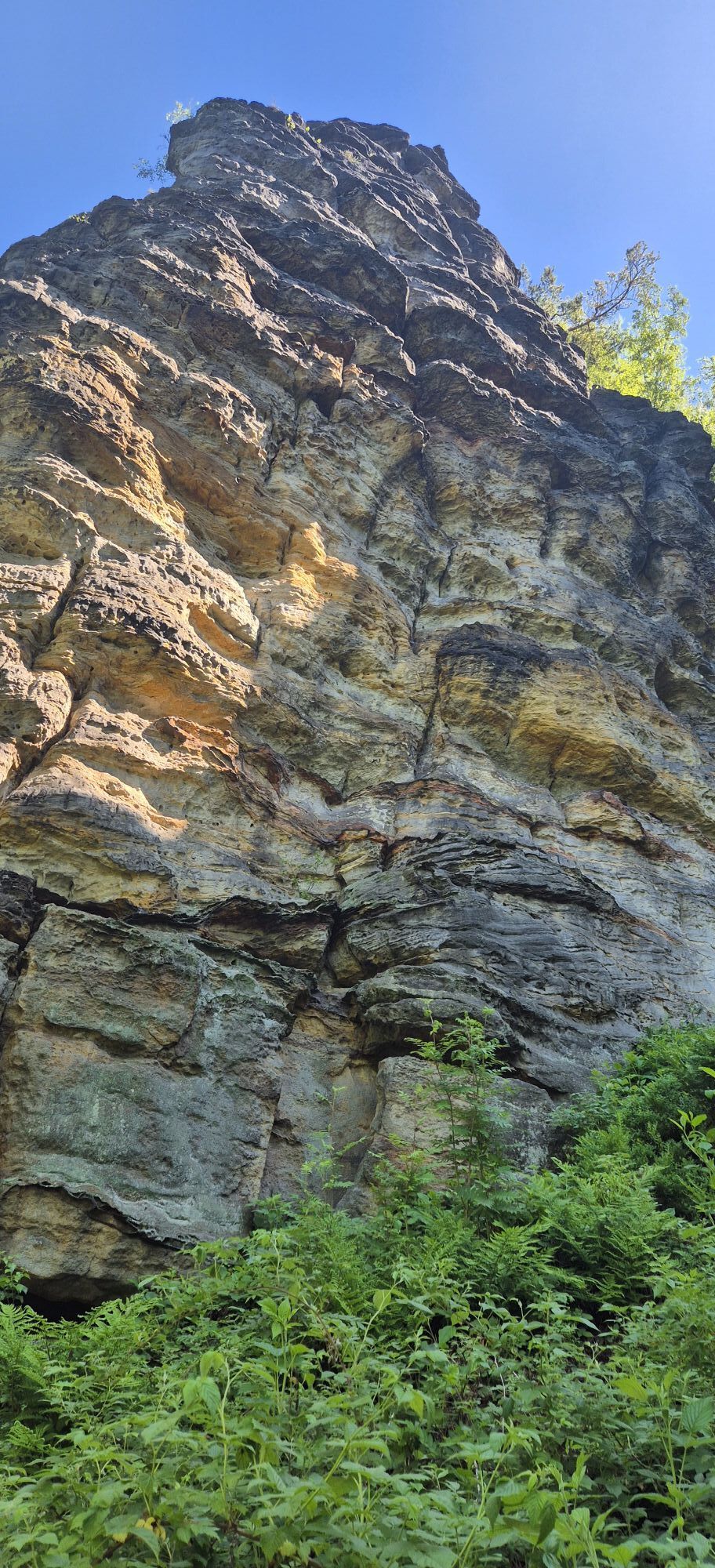
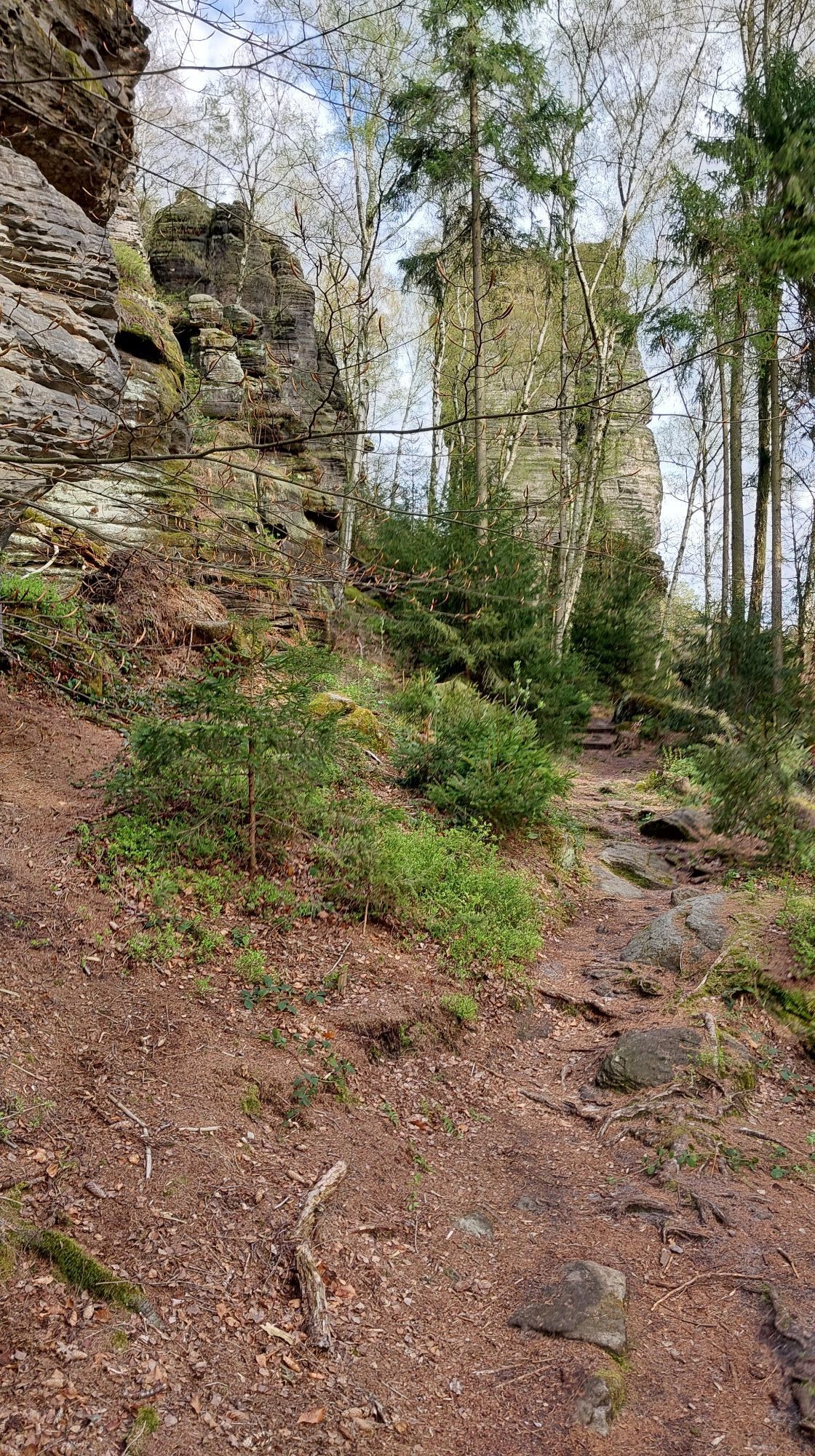
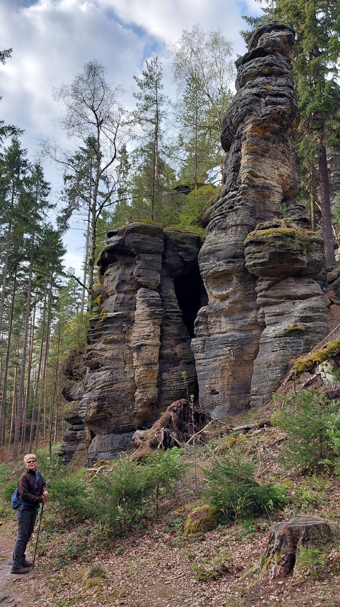
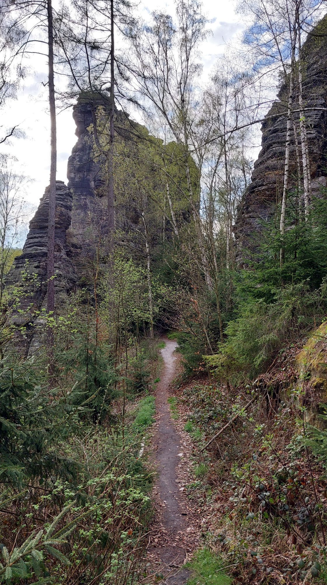
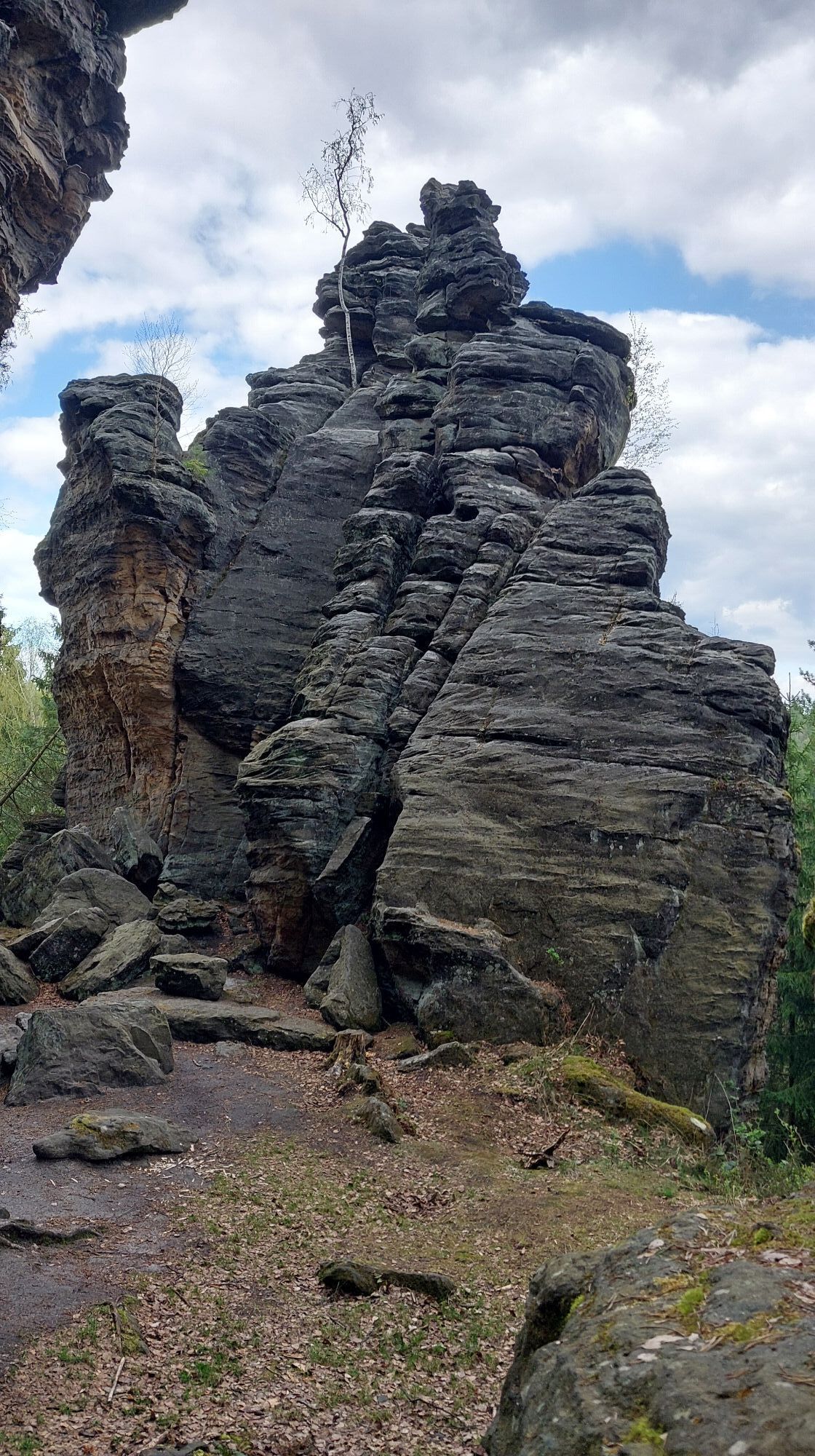
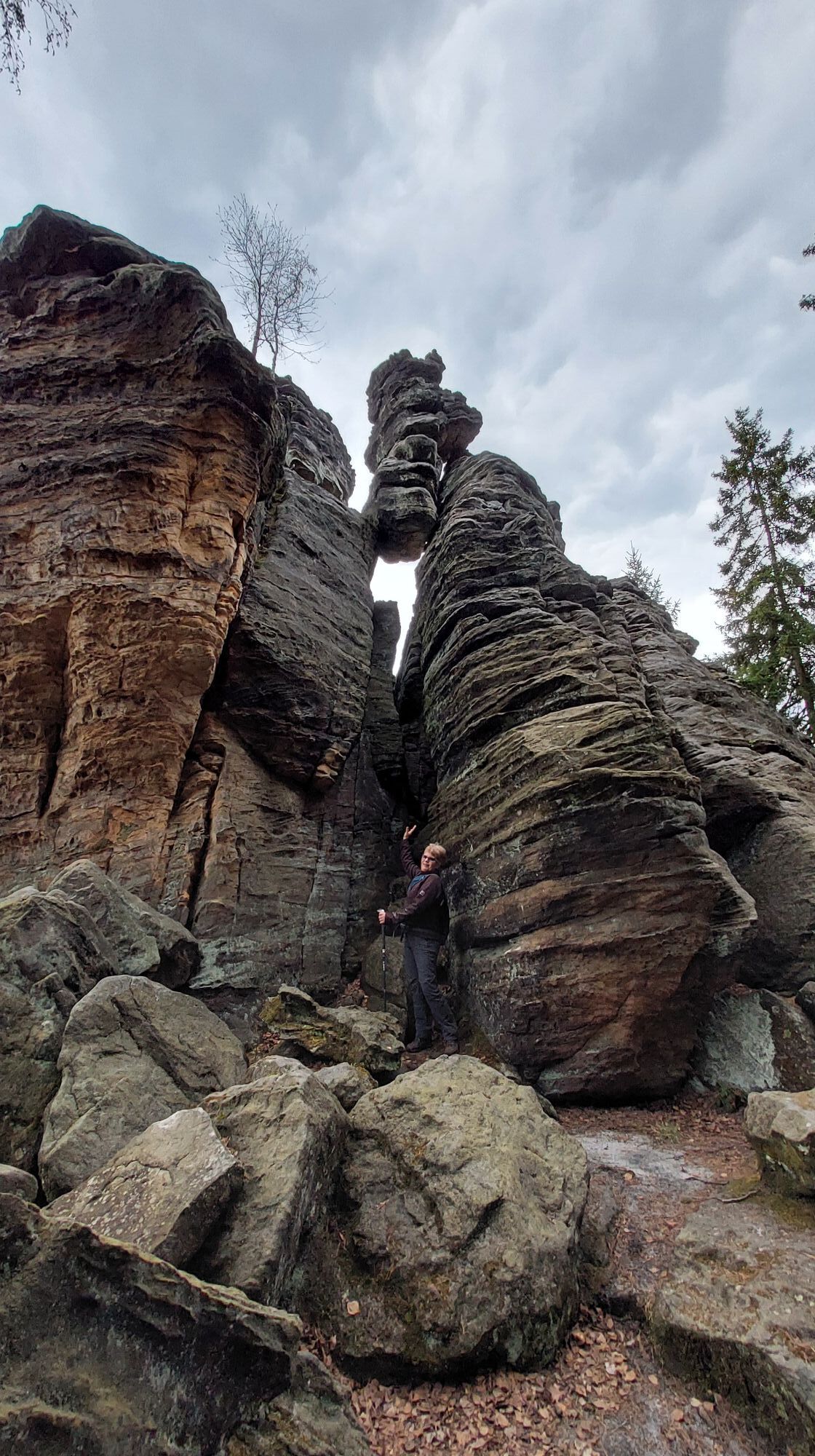
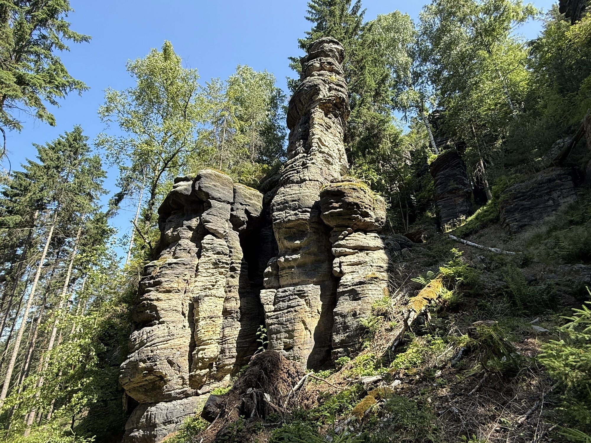
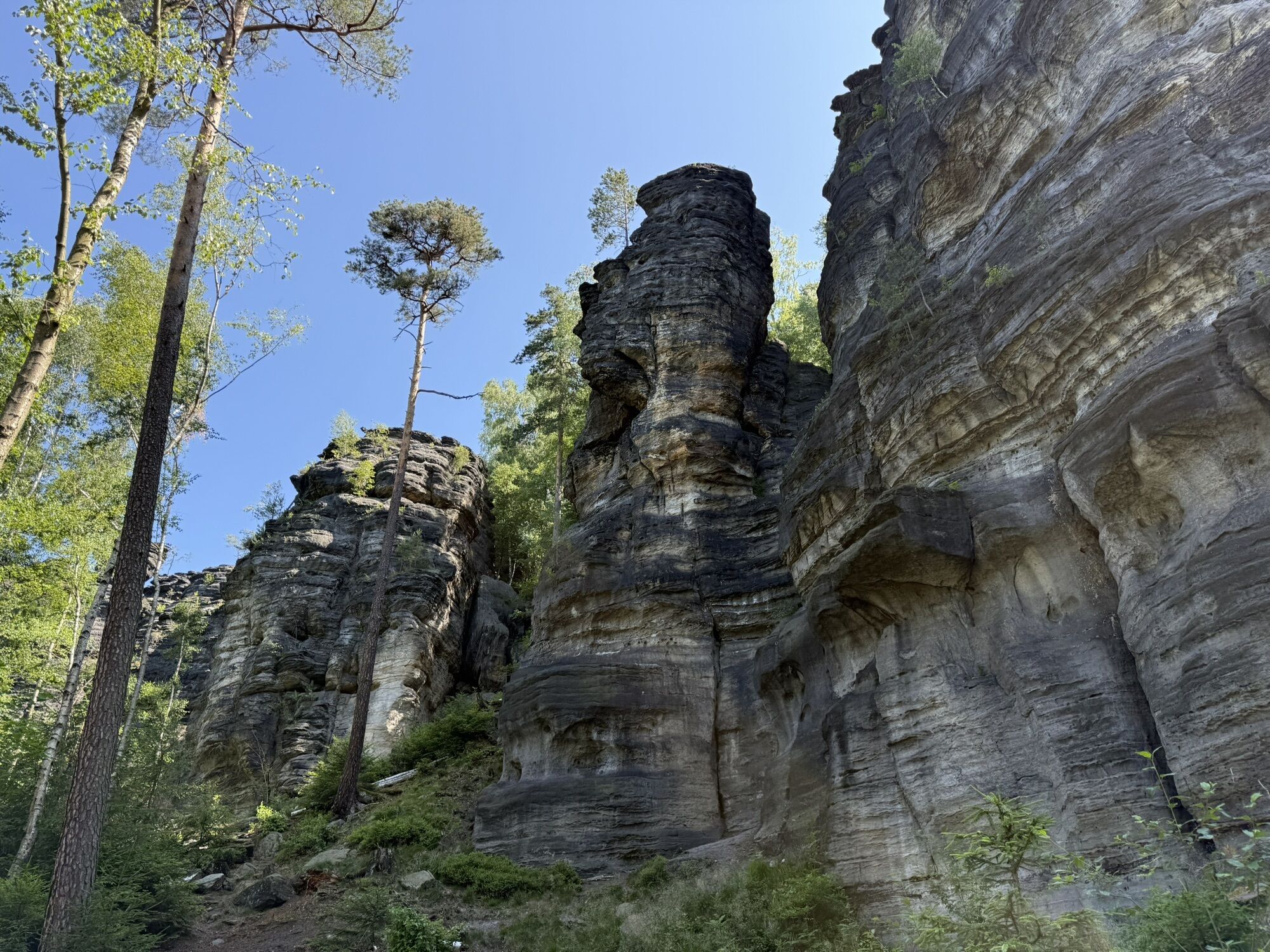
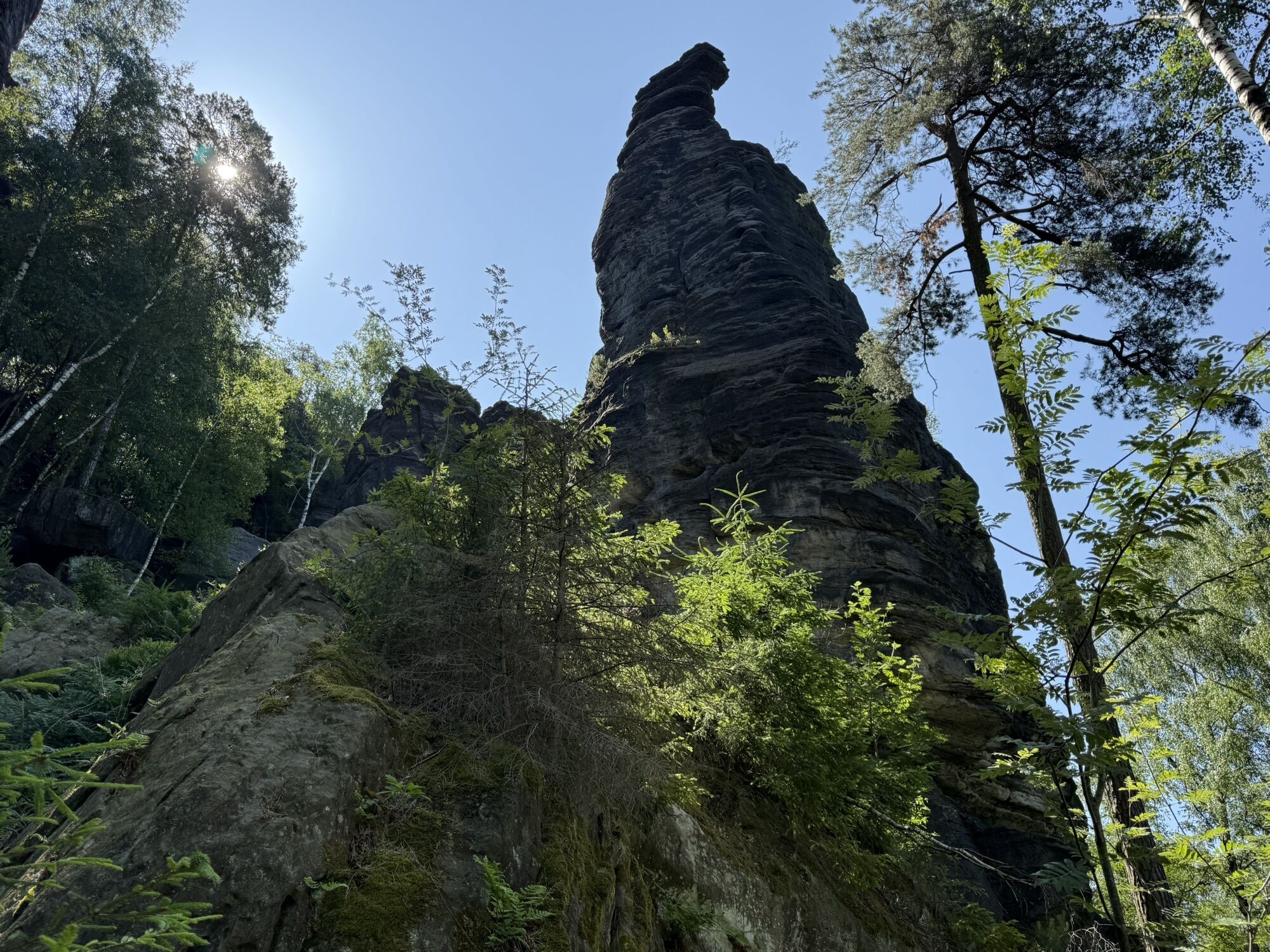
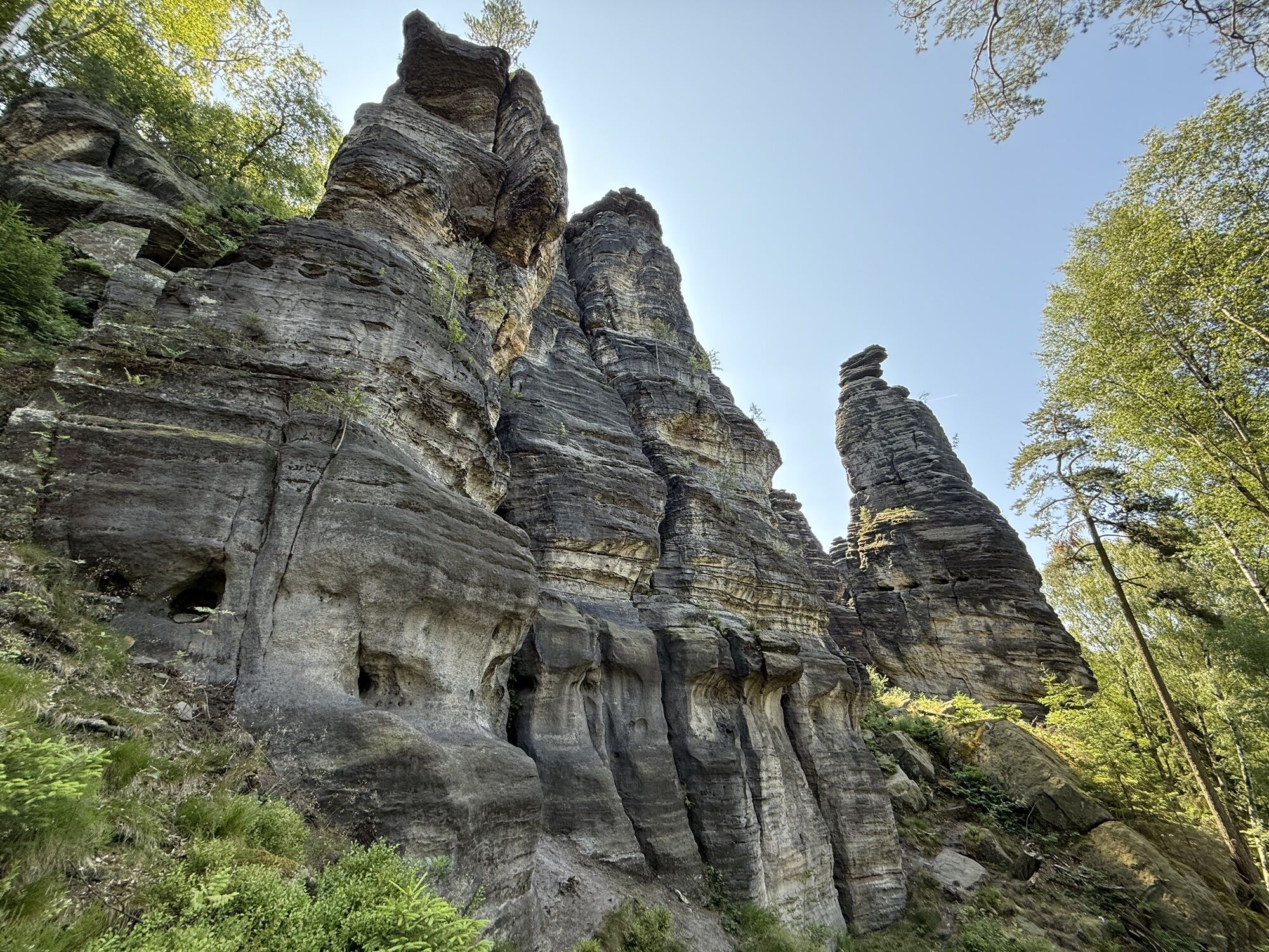
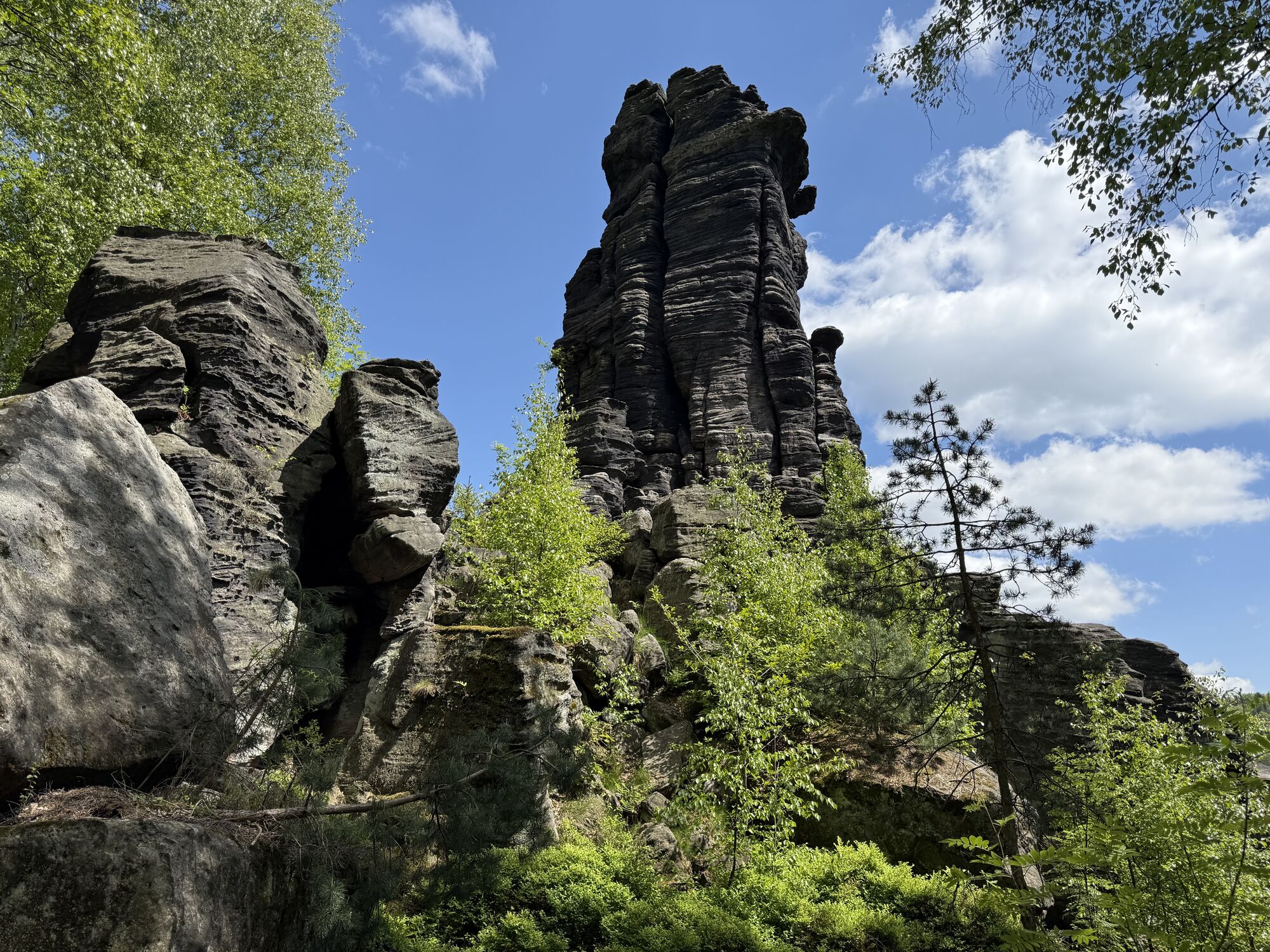
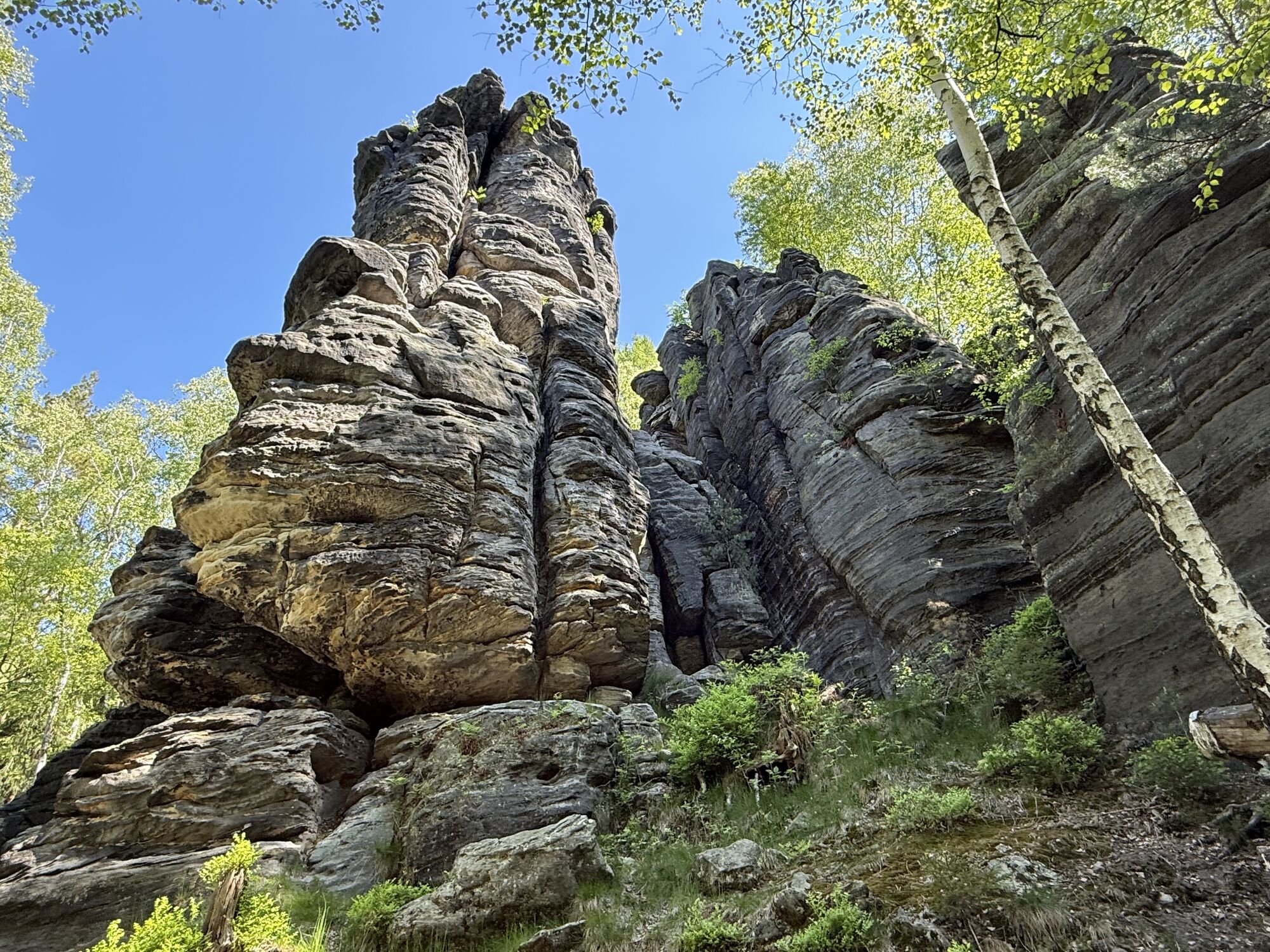
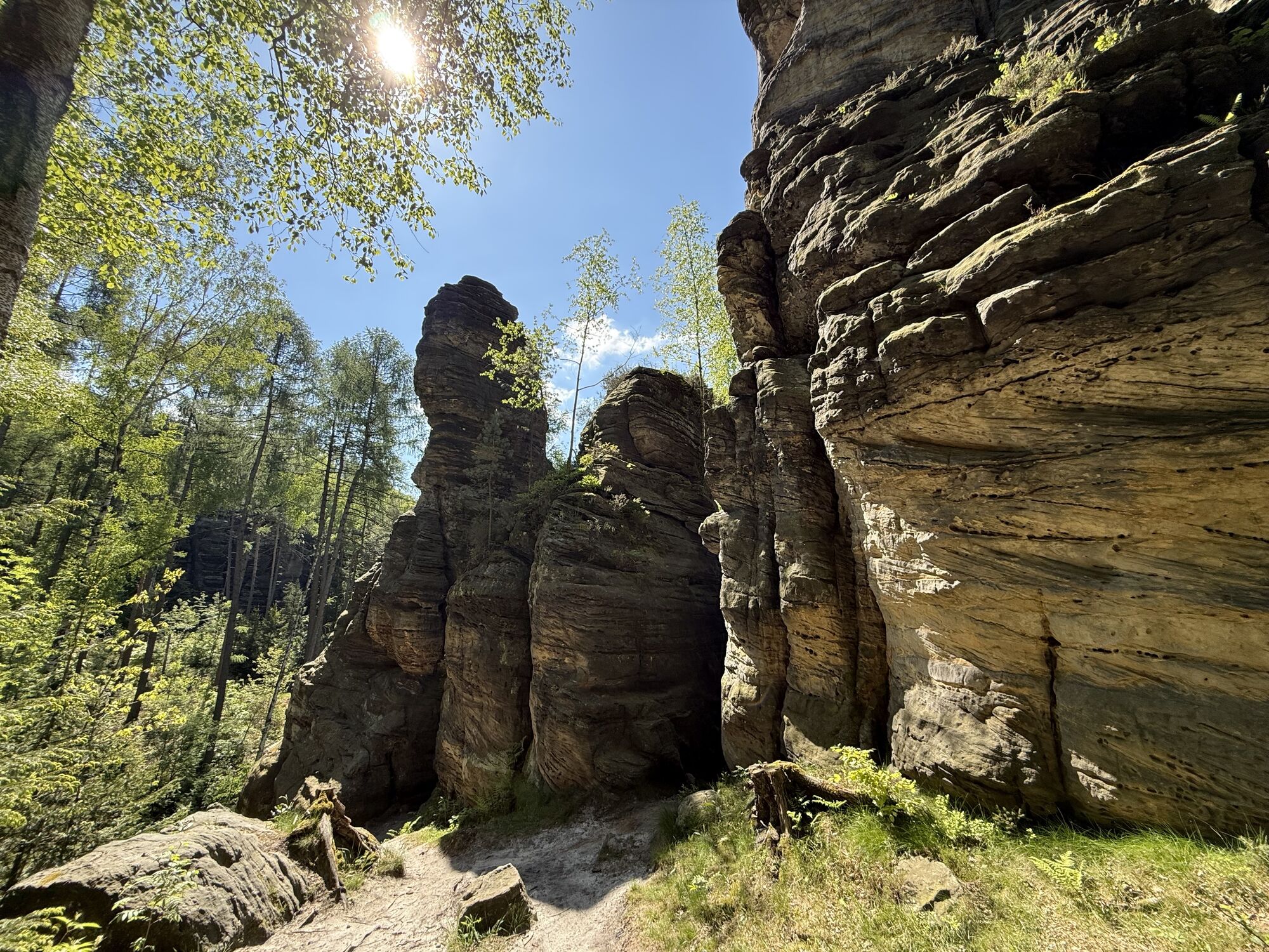
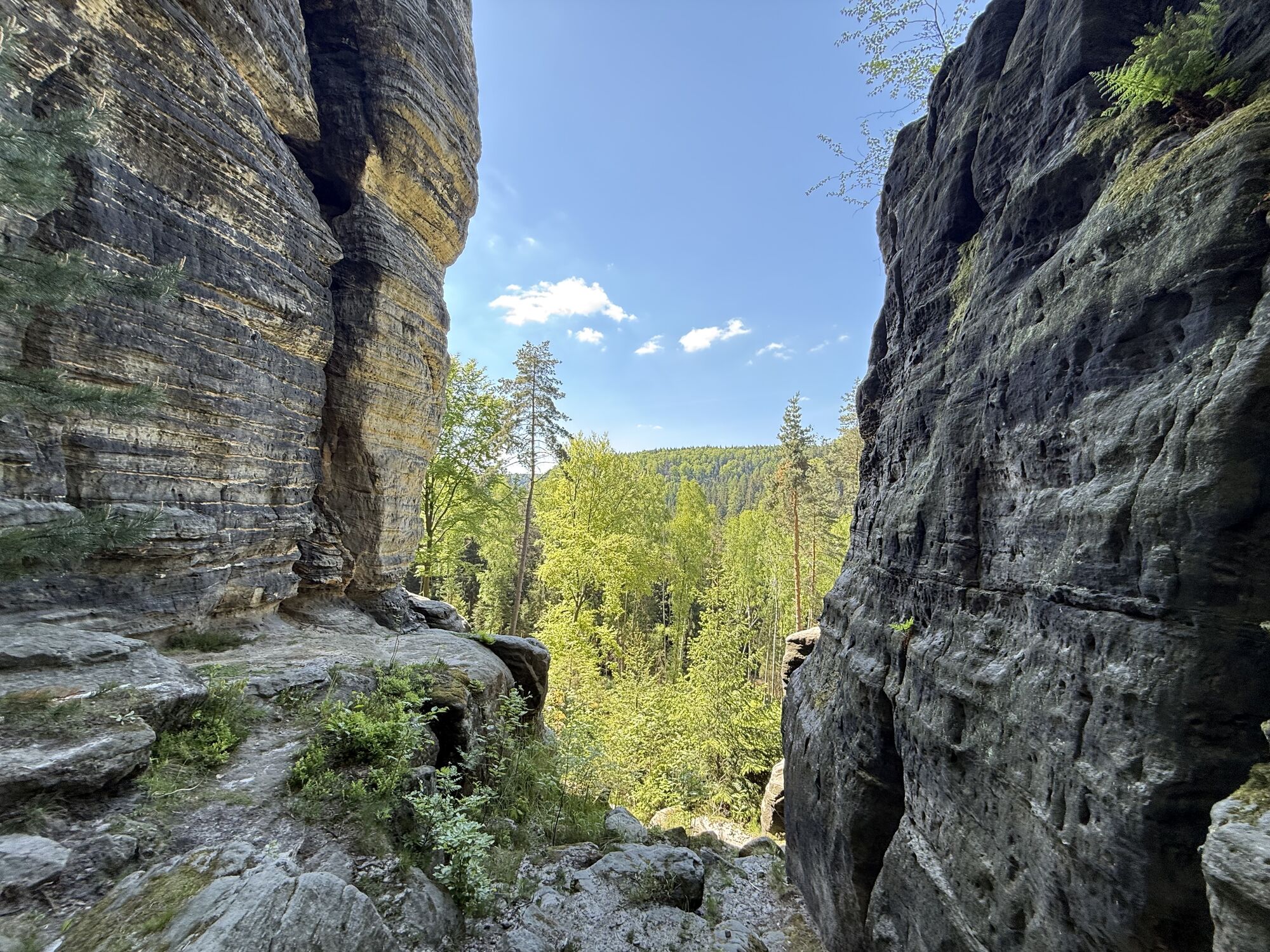
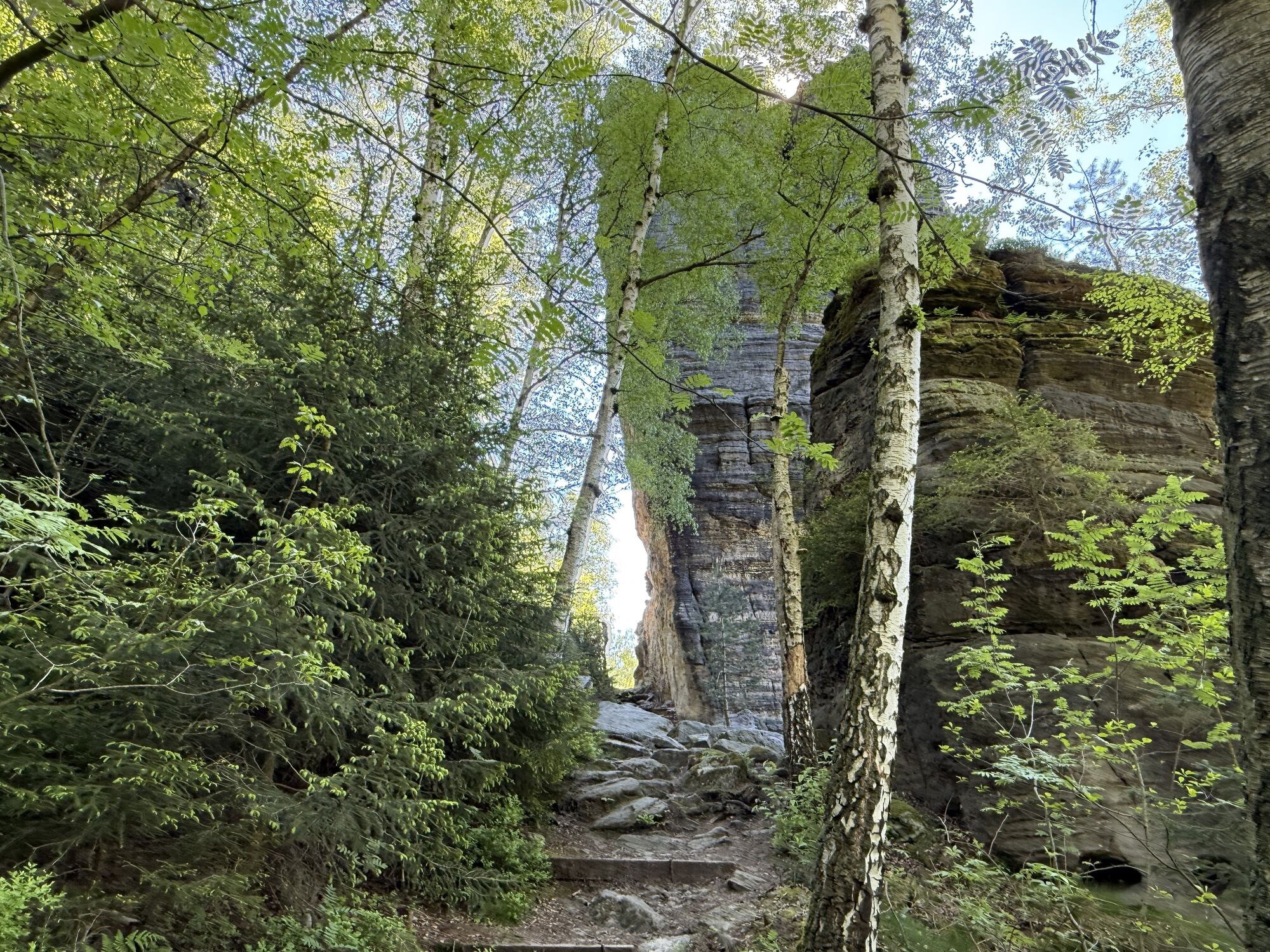
Pot
Friederike
(418 m)
Vrh
6.1 km
Hauptwiesenstein
(432 m)
Vrh
7.0 km
Stumpfer Kegel
(421 m)
Vrh
8.5 km
Kleiner Eislochturm
(434 m)
Vrh
8.6 km
Morgenstern
(447 m)
Vrh
9.0 km
Castello
(498 m)
Vrh
11.2 km
Zeisigstein
(551 m)
Vrh
17.4 km
Pot
Day hike on the Forststeig
težko
Pohodništvo
20.75
km
Hellendorf
(403 m)
Vas
0.0 km
Kleppisch
(403 m)
Soseska
0.4 km
Johanniswacht
(424 m)
Pogled
6.1 km
Friederike
(418 m)
Vrh
6.1 km
Artariastein
(409 m)
Vrh
6.1 km
Pötzschturm
(419 m)
Vrh
6.1 km
Mauerblümchen
(416 m)
Vrh
6.1 km
Fritziturm
(418 m)
Vrh
6.1 km
Morsche Wand
(418 m)
Vrh
6.1 km
Johanniskopf
(418 m)
Vrh
6.1 km
Johannismauer
(423 m)
Vrh
6.1 km
Wiesenkopf
(424 m)
Vrh
6.9 km
Nördlicher Wiesenstein
(432 m)
Vrh
7.0 km
Hauptwiesenstein
(432 m)
Vrh
7.0 km
Hinterer Wiesenstein
(432 m)
Vrh
7.0 km
Wiesenturm
(429 m)
Vrh
7.0 km
Mittlerer Wiesenstein
(435 m)
Vrh
7.0 km
Südlicher Wiesenstein
(431 m)
Vrh
7.0 km
Rumpelstilz
(426 m)
Vrh
7.3 km
Harmoniekopf
(426 m)
Vrh
7.3 km
Harmonienadel
(431 m)
Vrh
7.3 km
Kubulus
(428 m)
Vrh
7.5 km
Schwarzmühlenwächter
(428 m)
Vrh
7.5 km
Schwarzmühlenspitze
(437 m)
Vrh
7.6 km
Obere Bielatal Höhle
(441 m)
Vhod v jamo
7.6 km
Juliturm
(433 m)
Vrh
7.6 km
Juliklufthöhle
(441 m)
Vhod v jamo
7.6 km
Bielatal-Hütte
(378 m)
Zatočišče (brez upravljanja)
7.9 km
Stumpfer Kegel
(421 m)
Vrh
8.5 km
Johannes-Ruscher-Höhle
(440 m)
Vhod v jamo
8.5 km
Prometheus
(439 m)
Vrh
8.5 km
Fledermausturm
(445 m)
Vrh
8.5 km
Siebenschläferturm
(444 m)
Vrh
8.5 km
Siebenschläferkeule
(444 m)
Vrh
8.5 km
Waldschratt
(444 m)
Vrh
8.5 km
Felix
(443 m)
Vrh
8.5 km
Felicitas
(442 m)
Vrh
8.5 km
Spannagelturm
(435 m)
Vrh
8.6 km
Rabenturm
(438 m)
Vrh
8.6 km
Schwedenhöhle
(438 m)
Vhod v jamo
8.6 km
Eisloch
(434 m)
Vhod v jamo
8.6 km
Kleiner Eislochturm
(434 m)
Vrh
8.6 km
Großer Eislochturm
(438 m)
Vrh
8.6 km
Stripteasehöhle
(430 m)
Vhod v jamo
8.6 km
Papusspitze
(438 m)
Vrh
8.7 km
Höhle 180
(434 m)
Vhod v jamo
8.7 km
Waldscheibe
(442 m)
Vrh
8.7 km
Sonnenturm
(448 m)
Vrh
8.7 km
Turm am Wege
(439 m)
Vrh
8.8 km
Troika
(445 m)
Vrh
8.8 km
Unke
(451 m)
Vrh
8.9 km
Pfingstturm
(452 m)
Vrh
9.0 km
Morgenstern
(447 m)
Vrh
9.0 km
Jupiterturm
(440 m)
Vrh
9.0 km
Fichtenkegel
(453 m)
Vrh
9.0 km
Bonze
(446 m)
Vrh
9.0 km
Bonzenzahn
(453 m)
Vrh
9.1 km
Verlassene Wand
(437 m)
Vrh
9.1 km
Felsensportnadel
(437 m)
Vrh
9.1 km
Wolfskopf
(449 m)
Vrh
9.2 km
Versteckte Wand
(455 m)
Vrh
9.2 km
Schneewand
(477 m)
Vrh
10.7 km
Schneespitze
(481 m)
Vrh
10.7 km
Kastenturm
(495 m)
Vrh
10.9 km
Adam und Eva
(498 m)
Vrh
11.1 km
Castello
(498 m)
Vrh
11.2 km
Cima
(503 m)
Vrh
11.2 km
David
(482 m)
Vrh
11.2 km
Goliath
(496 m)
Vrh
11.2 km
Titan
(491 m)
Vrh
11.2 km
Höhle an der Einsamen Nadel
(498 m)
Vhod v jamo
11.3 km
Großer Grenzturm
(494 m)
Vrh
11.5 km
Střelecký trůn
(535 m)
Vrh
14.8 km
Listopadová věž
(532 m)
Vrh
14.8 km
Dušičková věž
(540 m)
Vrh
14.8 km
Kominíček
(530 m)
Vrh
14.9 km
Ptačí kužel
(536 m)
Vrh
14.9 km
Rájecká věž
(531 m)
Vrh
15.0 km
Rájecký bobek
(544 m)
Vrh
15.0 km
Grenzspitze
(534 m)
Vrh
15.0 km
Strážce hranic
(530 m)
Vrh
15.0 km
Grenzwächter
(542 m)
Vrh
15.1 km
Helmutpfeiler
(542 m)
Vrh
15.2 km
Landarzt
(542 m)
Vrh
15.2 km
Zeisigstein
(551 m)
Vrh
17.4 km
Zeisigsteinnadel
(542 m)
Vrh
17.4 km
Mordspitze
(542 m)
Vrh
17.5 km
Kleppisch
(403 m)
Soseska
20.0 km
Hellendorf
(403 m)
Vas
20.7 km

Informacije o poti
Pot
Hellendorf - Zauschengrund - Beutwald - Bielatal - Grenzplatte - Zeisigstein - Hellendorf
Oprema
Wir empfehlen festes Schuhwerk.
Informacije o prihodu
Prihod
Sie erreichen den Ausgangspunkt in nur 40 Fahrminuten von Dresden über die A17 oder z.B. in 15 Fahrminuten von der Festung Königstein in der Sächsischen Schweiz.
Javni prevoz
Parkirišče
Ein Parkplatz befindet sich direkt am Ausgangspunkt der Wanderung an der Peterswalder Straße, unmittelbar neben der Bushaltestelle Hellendorf-Dorfplatz.
Še ni pregledov
Priljubljeni izleti v okolici
-
4.7
Pfaffenstein Sachsen/Deutschland
srednjaPohodništvo 3.89 km -
5.0
Lilienstein
svetlobaPohodništvo 3.75 km -
4.8
Bad Schandau, Schrammsteinrunde
srednjaPohodništvo 11.0 km -
4.6
Caspar-David-Friedrich-Weg
srednjaPohodništvo 15.1 km -
5.0
Rauenstein von Weißig
srednjaPohodništvo 4.35 km -
4.2
Rundwanderweg Rathen Lilienstein
srednjaPohodništvo 12.5 km -
5.0
Schrammstein, Schrammsteintor und Schrammsteinaussicht
srednjaPohodništvo 5.48 km -
3.5
Rathen/Lilienstein/Rathen
srednjaPohodništvo 14 km -
5.0
Über den Malerweg durch die Hölle zum Papststein
srednjaPohodništvo 10.1 km -
4.4
Schmilka, Grenzübergang - Nebelturm - Stiegenwächter - Ülmtülp
srednjaPohodništvo 12.7 km
Pohodništvo in sledenje

Zaradi več kot 550.000 predlogov izletov, podrobnih zemljevidov in intuitivnega načrtovanja poti je aplikacija obvezna oprema za vse ljubitelje narave.

Ne zamudite ponudb in navdiha za naslednje počitnice
Naročite se na novice
Napaka
Zgodila se je napaka. Prosimo, poskusite znova.
Zahvaljujemo se vam za prijavo
Vaš e-poštni naslov je bil dodan na poštni seznam.
Izleti po vsej Evropi
Avstrija
Švica
Nemčija
Italija
Slovenija
Francija
Nizozemska
Belgija
Poljska
Lihtenštajn
Češka
Slovaška
Španija
Chorvátsko
Bosna in Hercegovina
Luksemburg
Andora
පෘතුගාලය
අයිස්ලන්තය
එක්සත් රාජධානිය
අයර්ලන්තය
ග්රීසිය
ඇල්බේනියාව
North Macedonia
Malta
Norway
Montenegro
Moldova
කොසෝවො
හන්ගේරියානු සමුහාණ්ඩුව
San Marino
රුමේනියාව
එස්ටෝනියා
ලැට්වියාව
බෙලාරස්
සයිප්රස්
Lithuania
Serbia
බල්ගේරියාව
Monaco
ඩෙන්මාර්කය
Sweden
ෆින්ලන්තය





