







Enchanting Staircases in the Schmilka Kessel
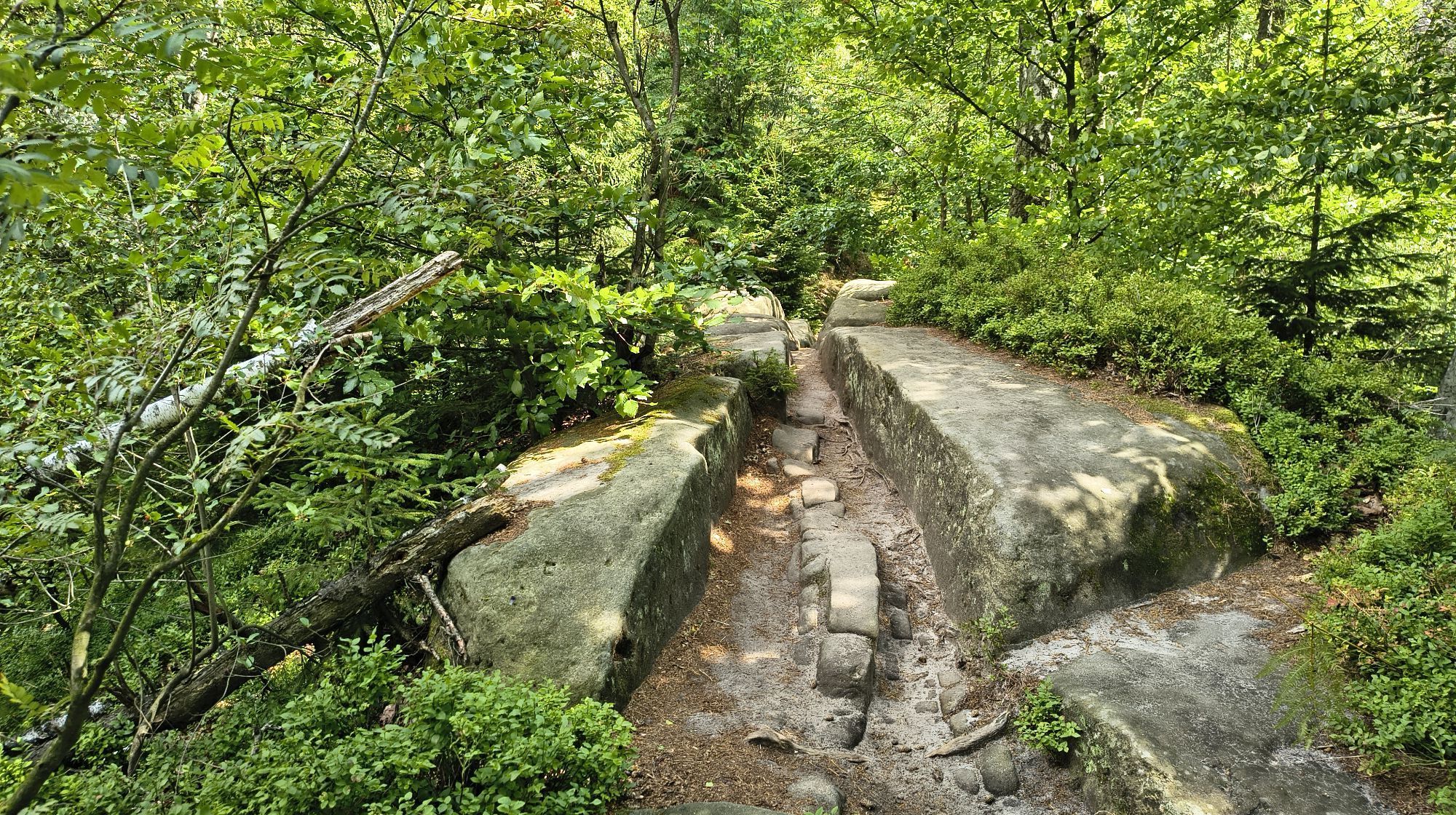
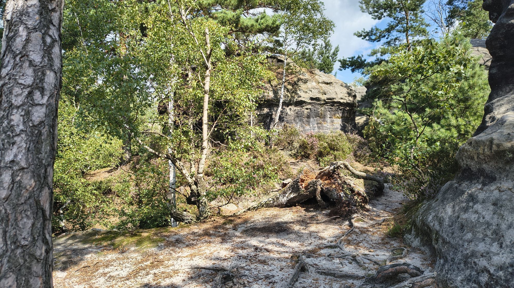
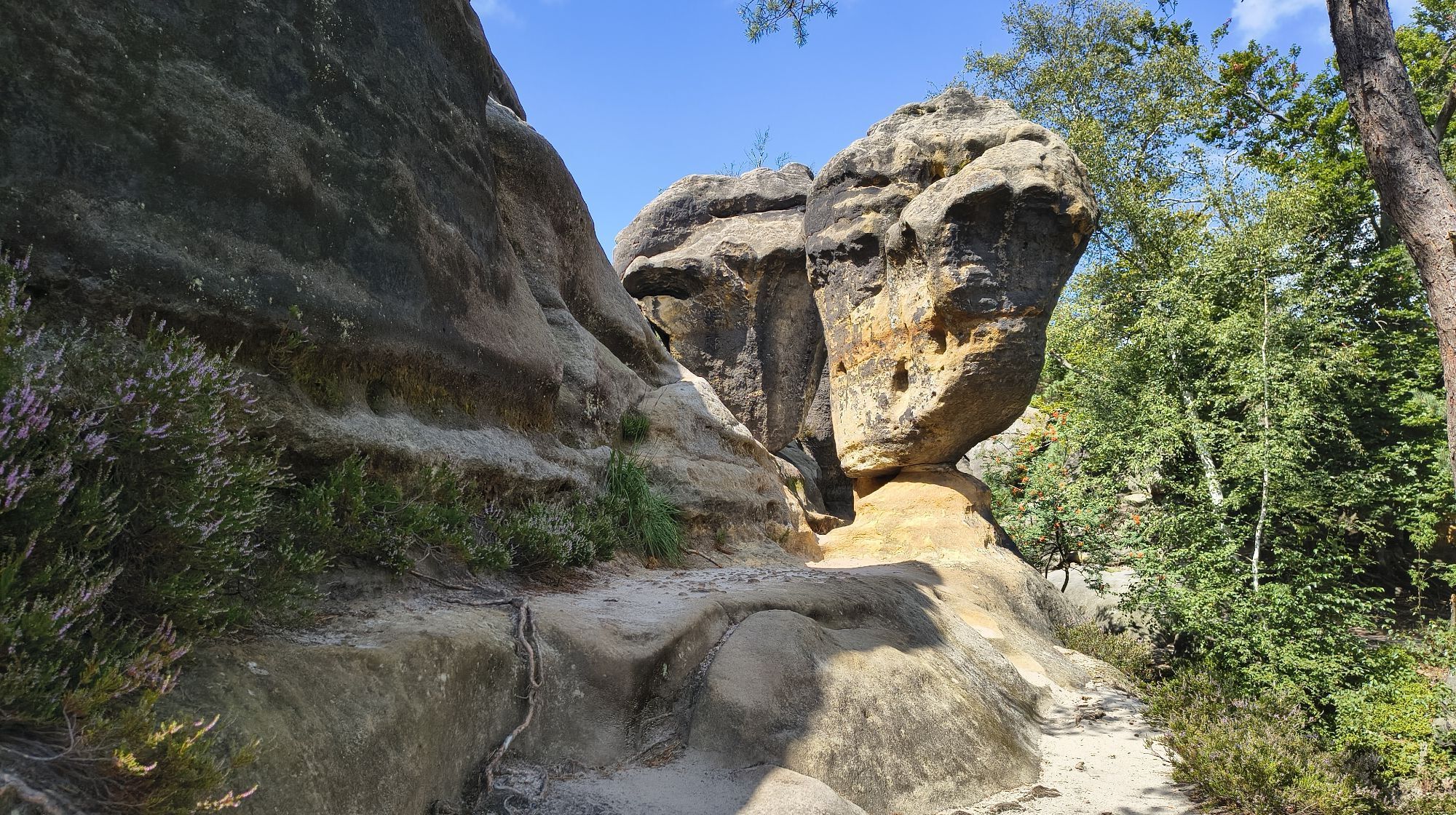
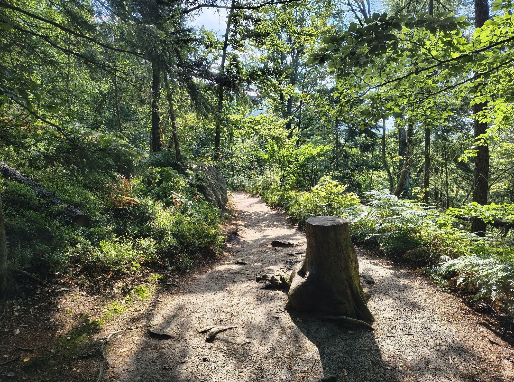
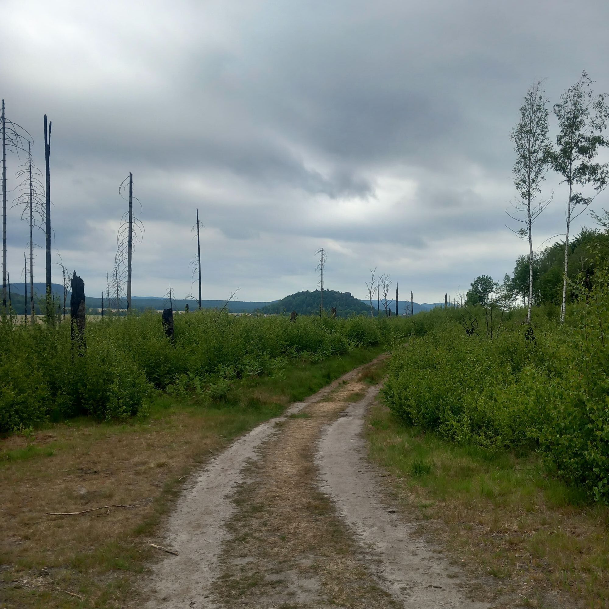
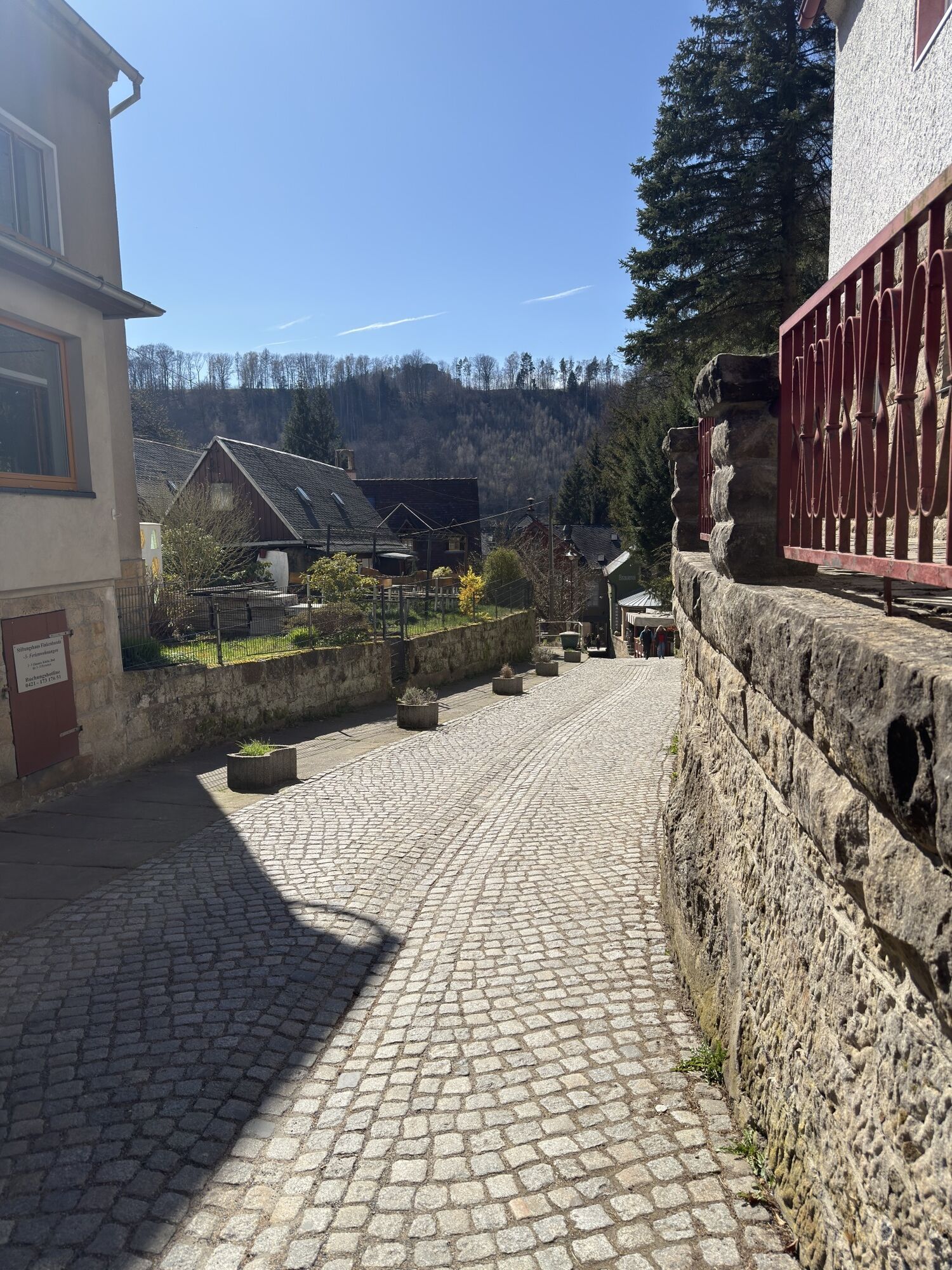
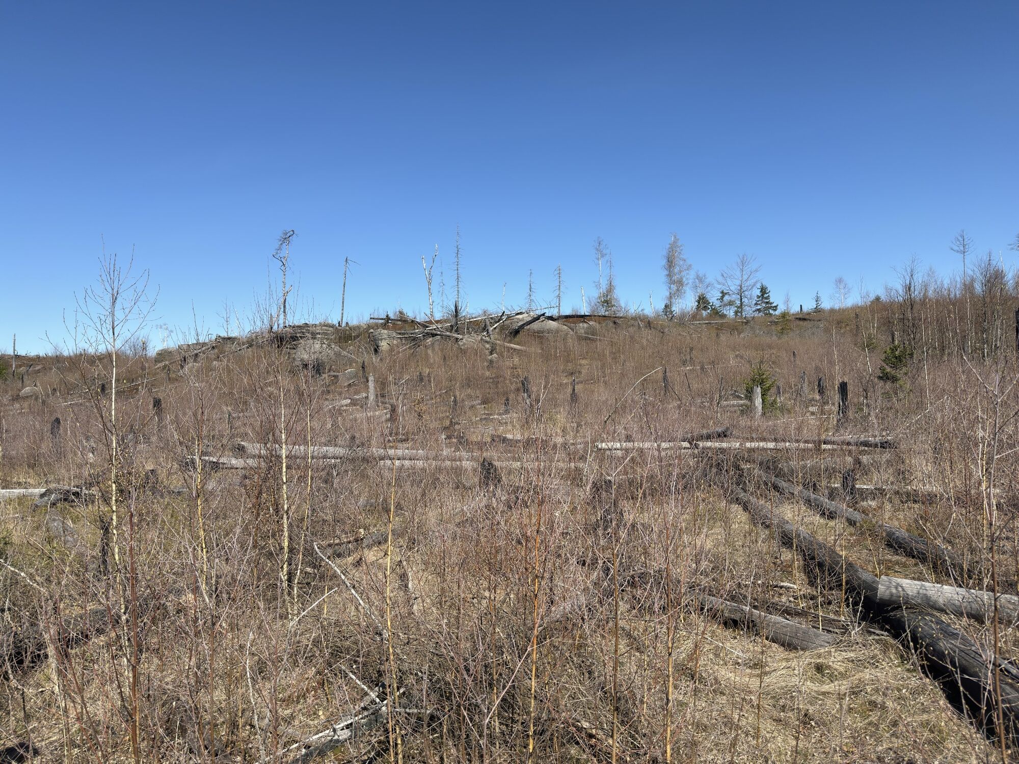
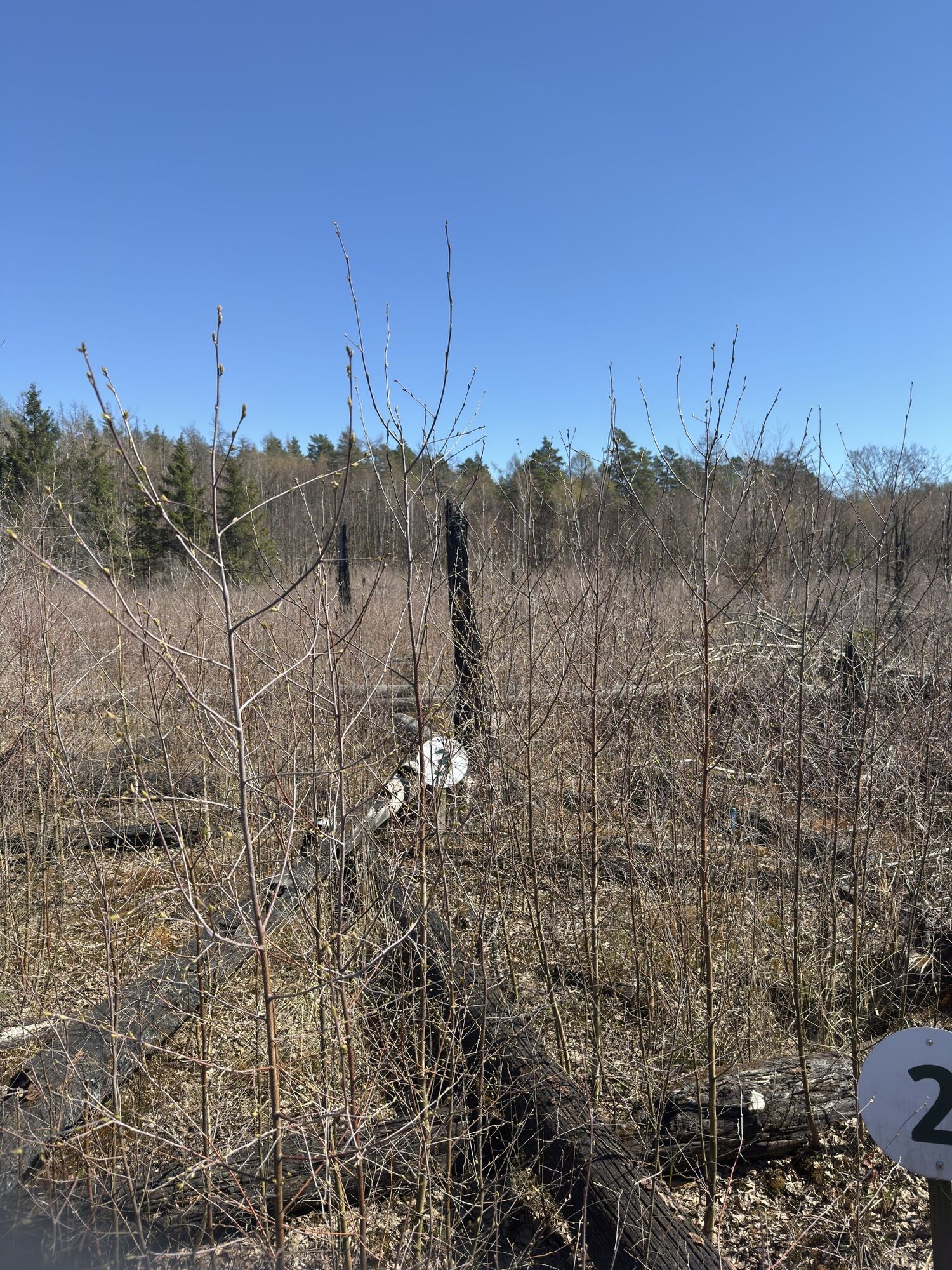
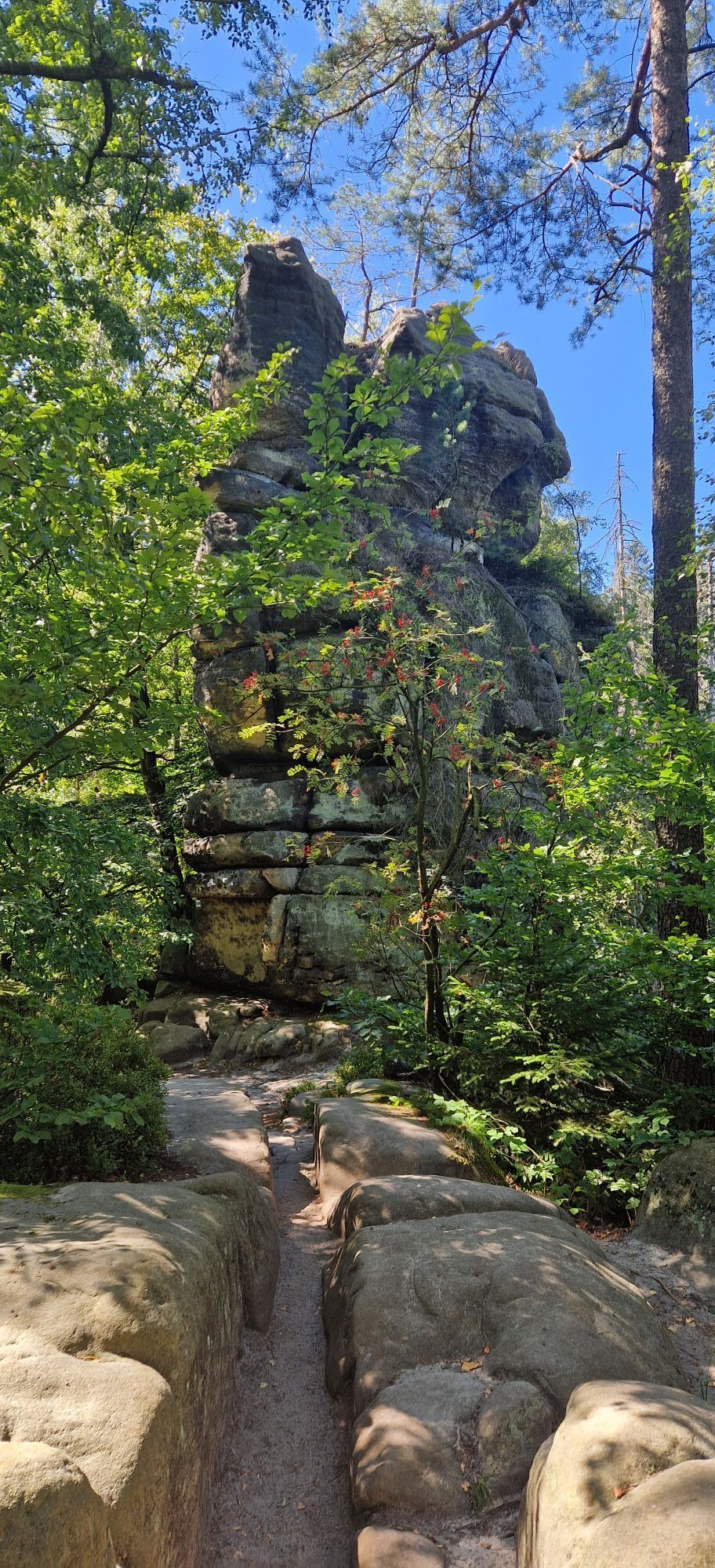
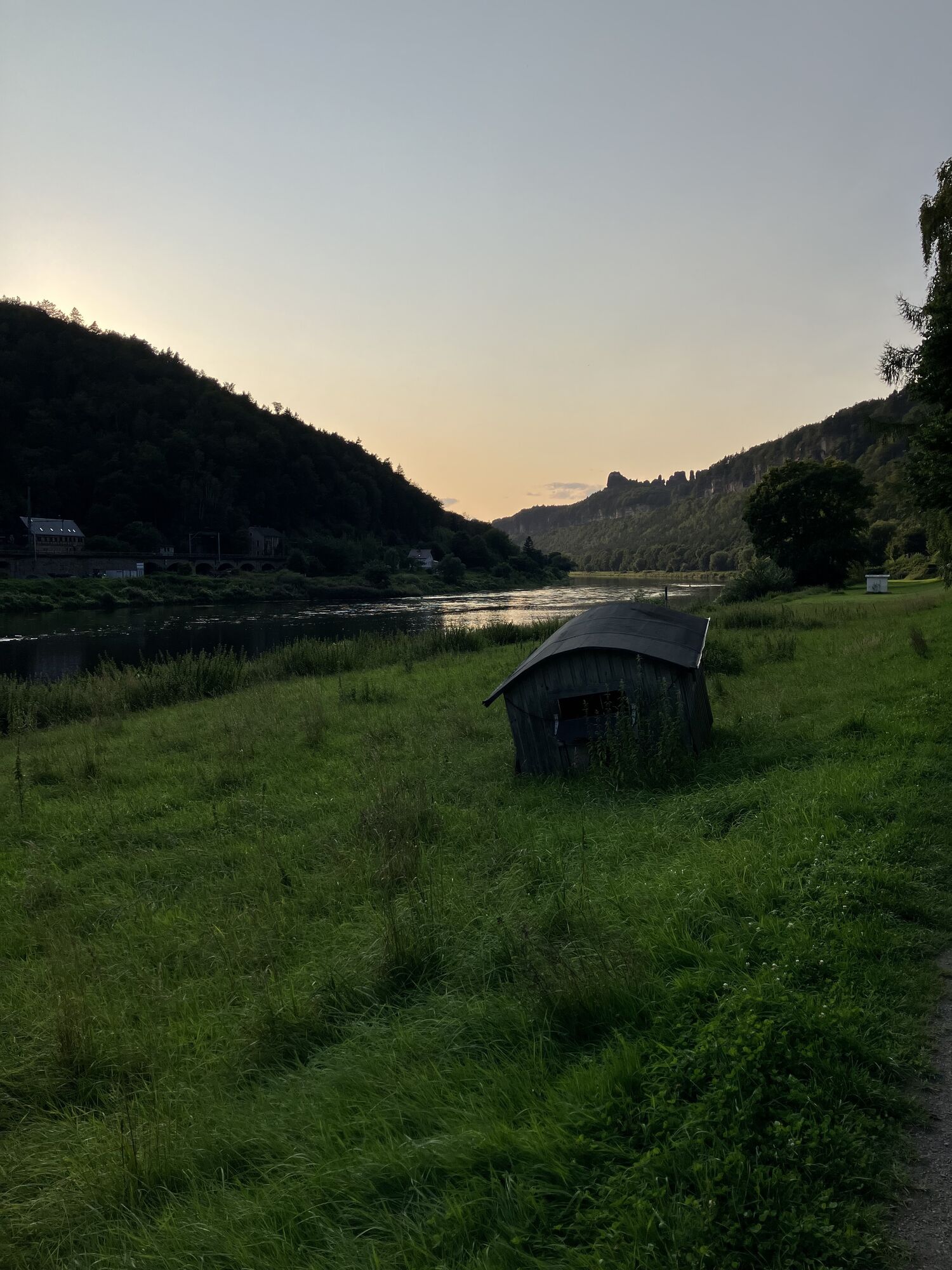
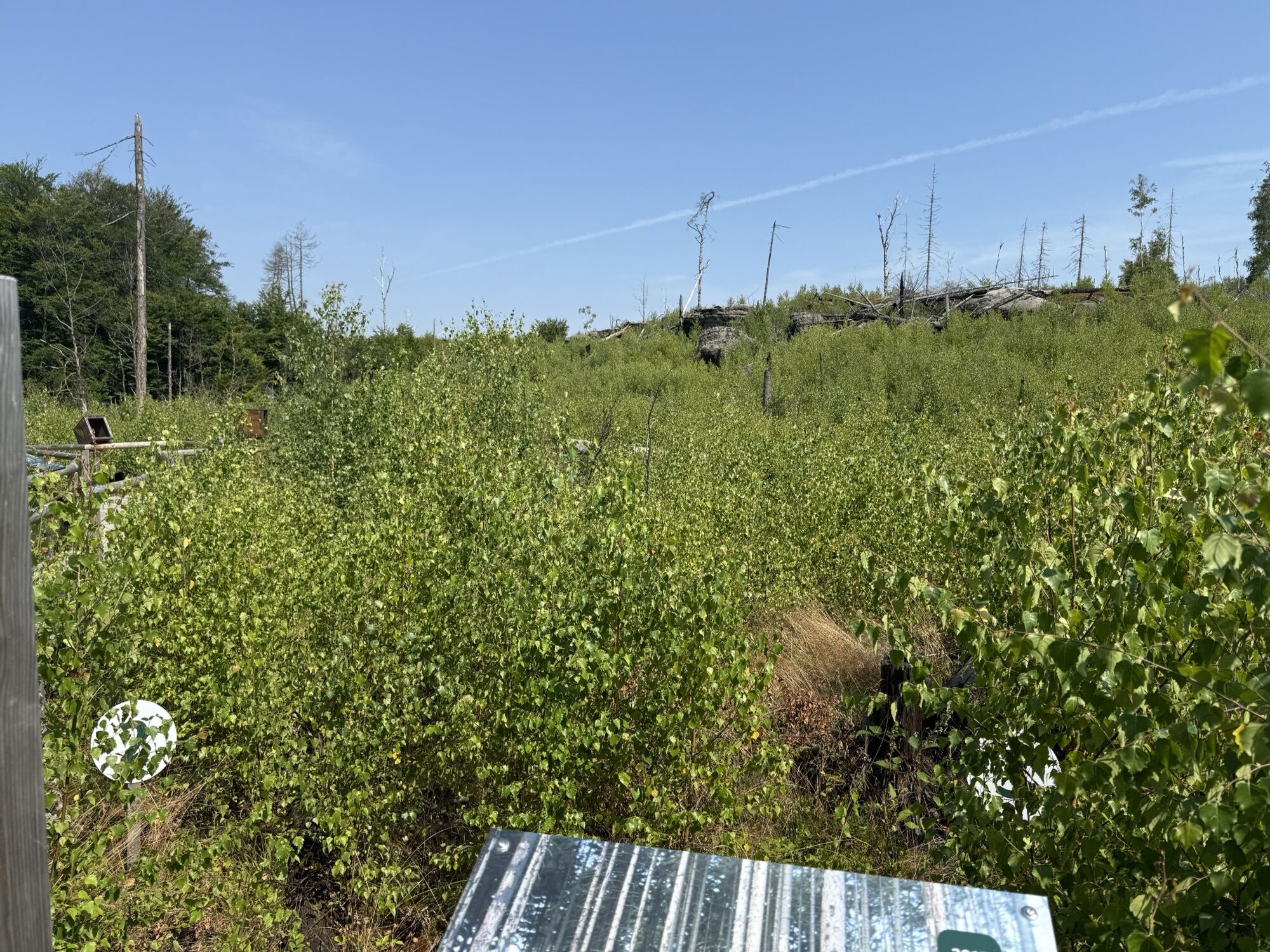
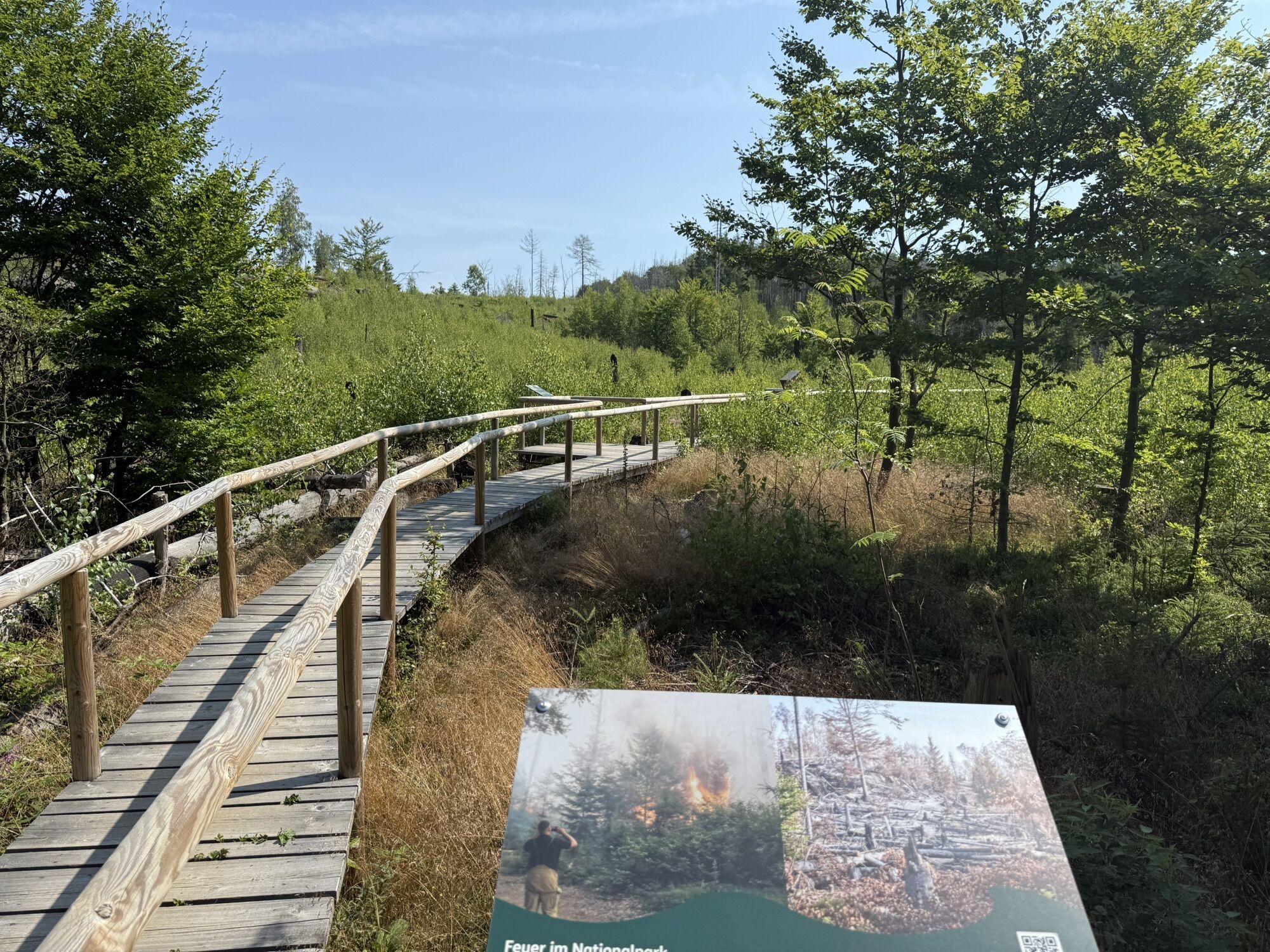
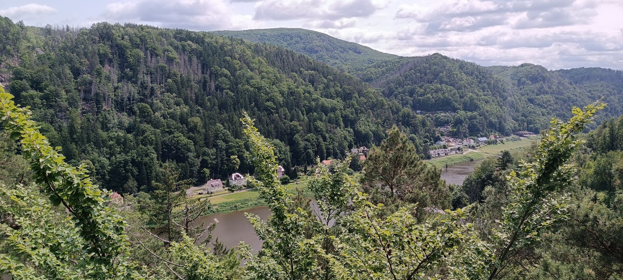
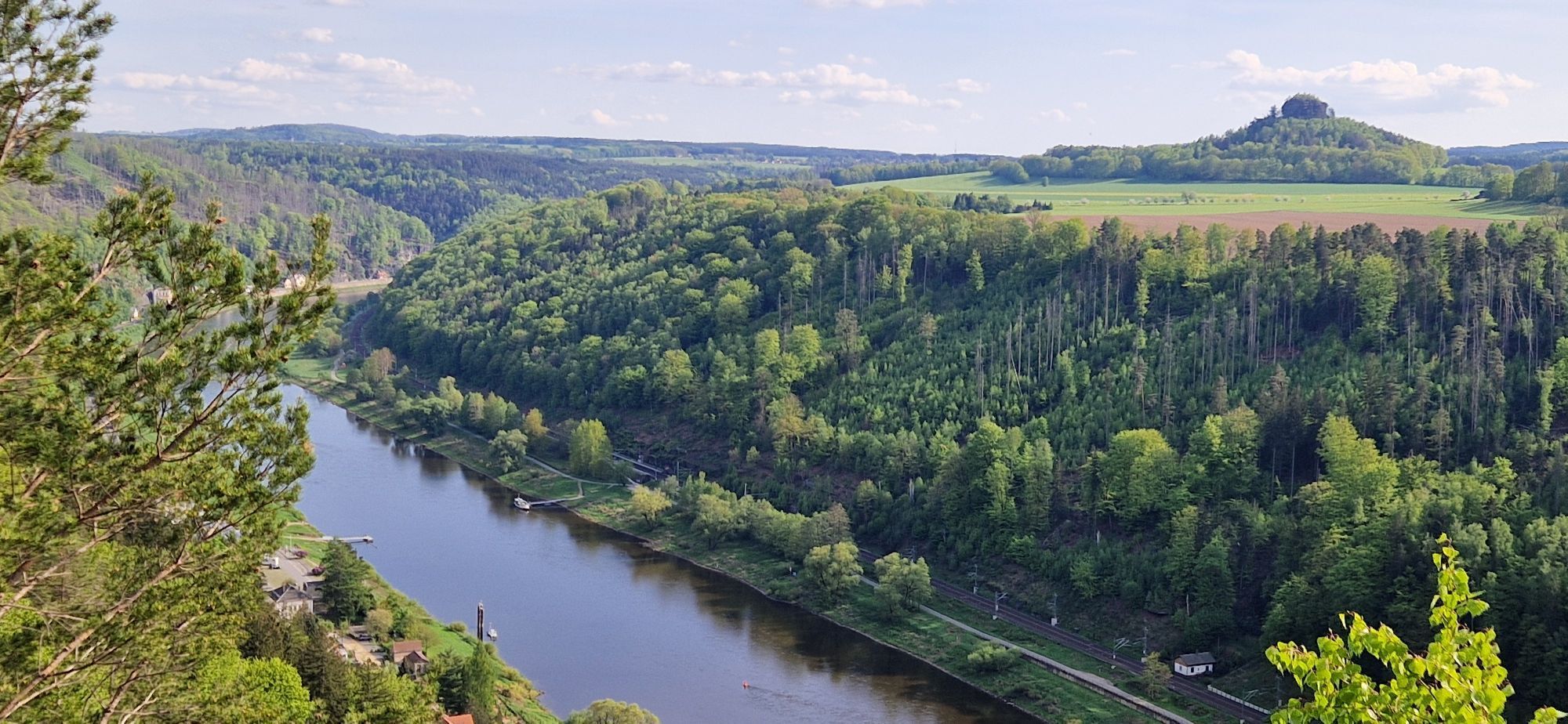
Schmilka at the ferry pier - hiking trail to the small bastion - Rotkehlchenstiege - Wurzelweg - Schmilka

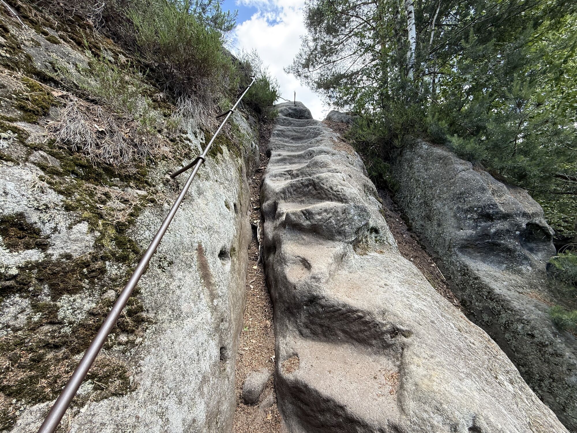
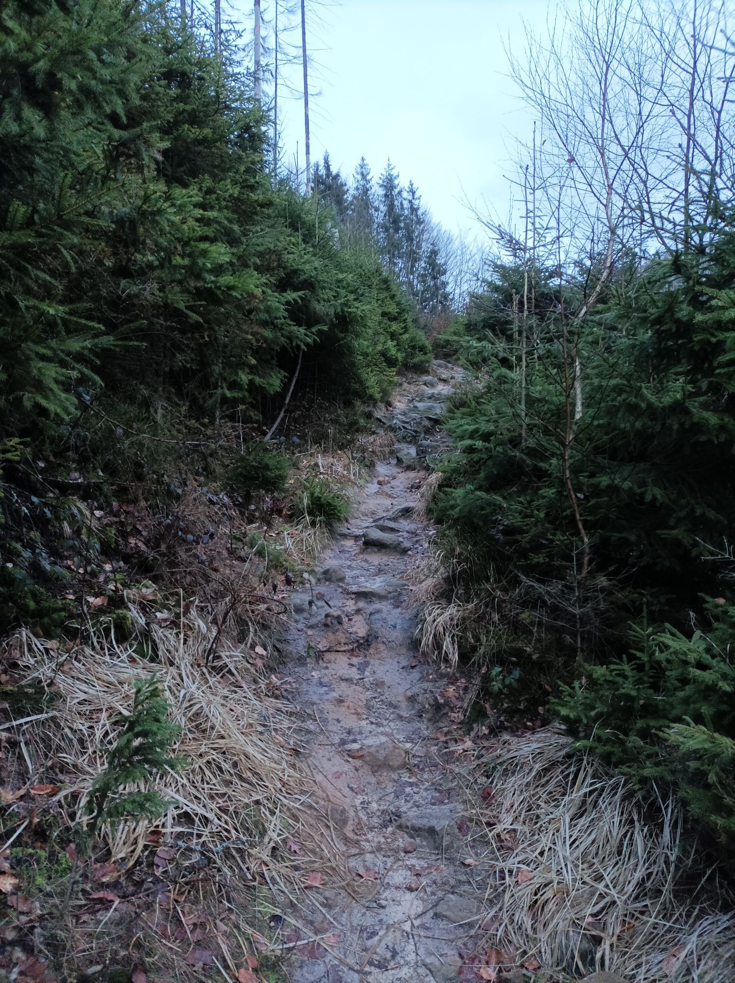
For the rest of the way, we stay on the path with the green line markings until we meet the Elbleitenweg. Here we turn right (green dot). We follow this wide forest path, it later runs downhill, we come to a right-hand bend and here we take the second path that branches off to the left (Rotkehlchenstiege, green triangle for mountain path on the signpost). The path takes us to the Rotkehlchenstiege at the end of the valley.
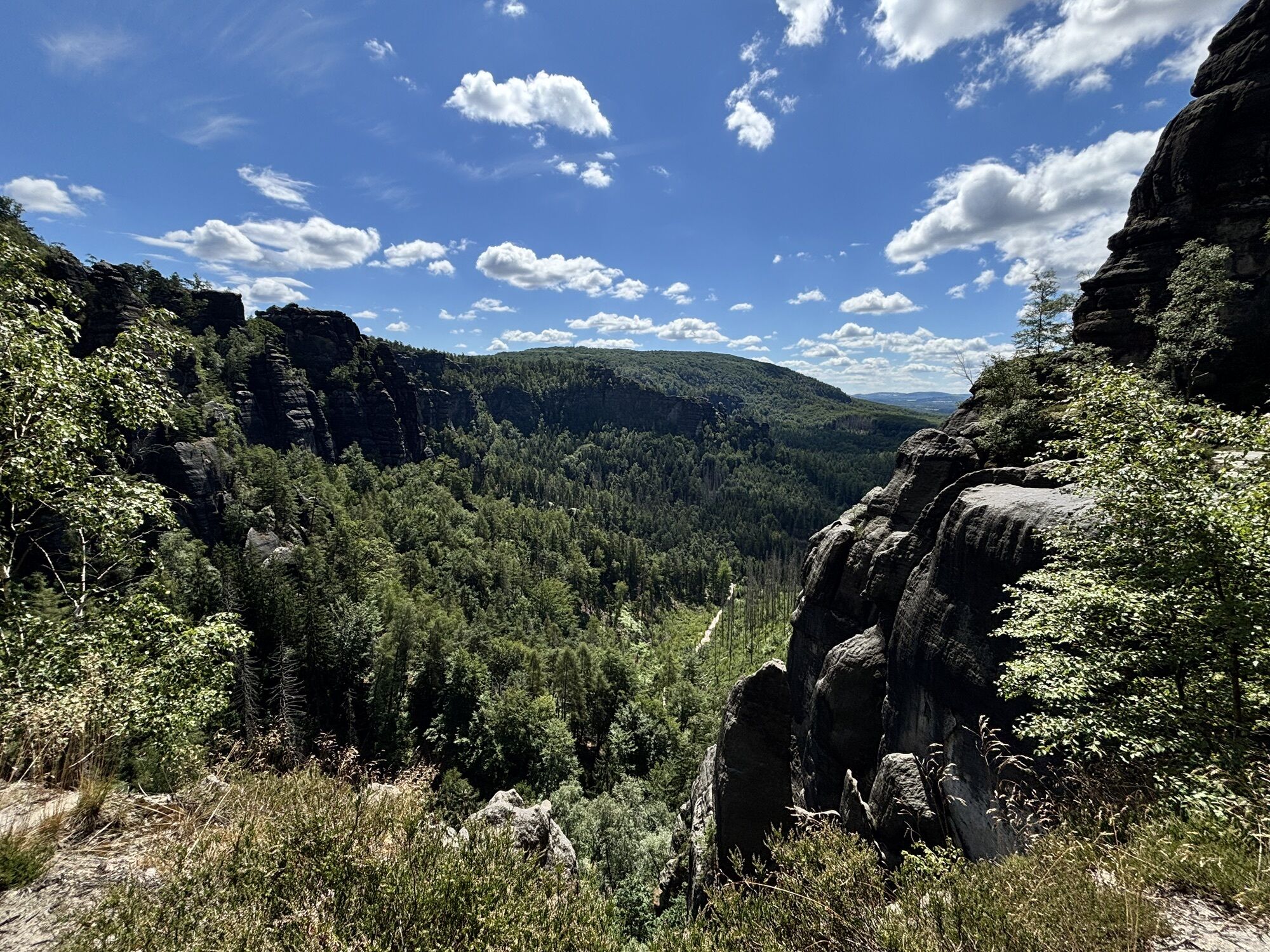
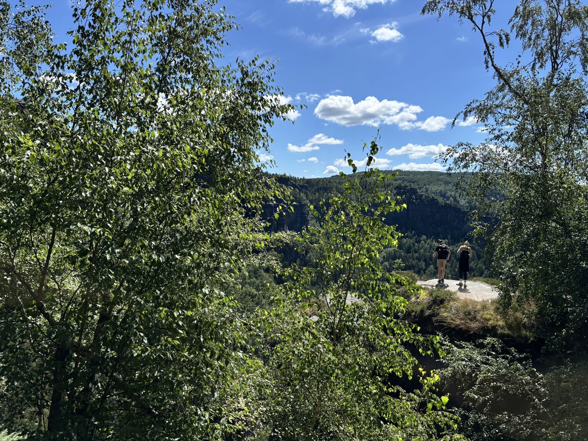
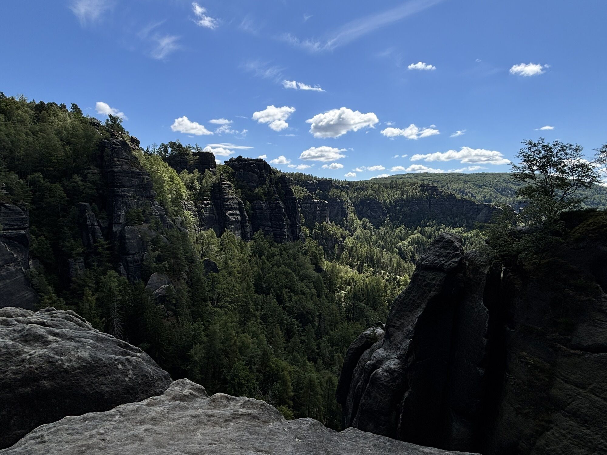
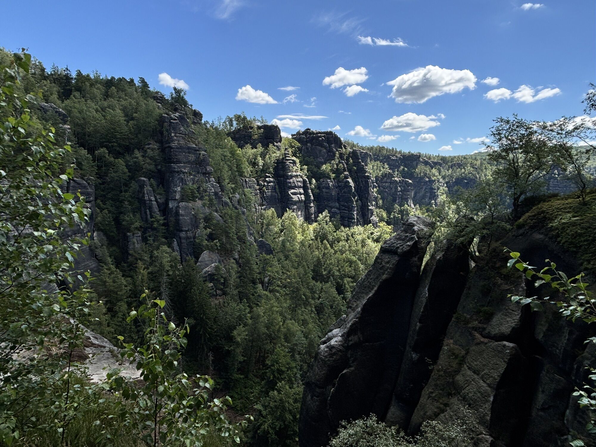
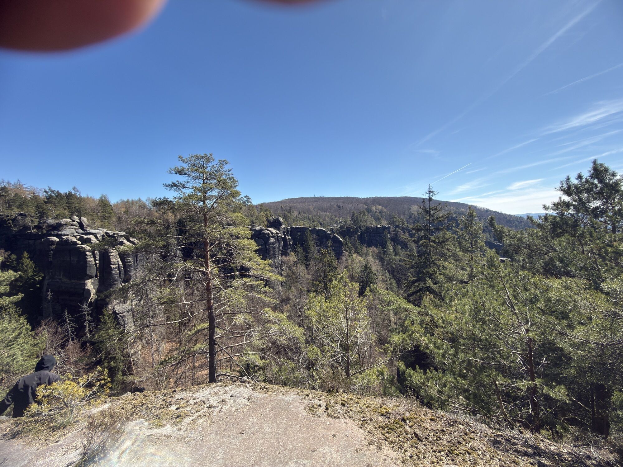
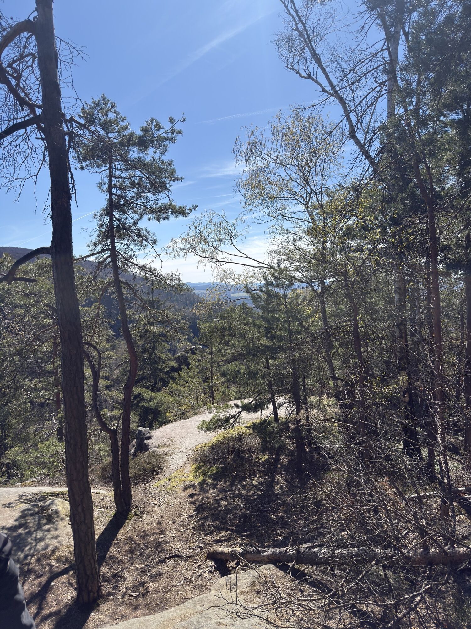
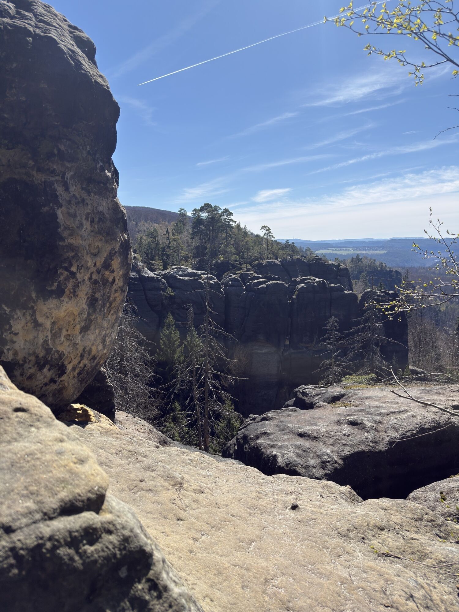
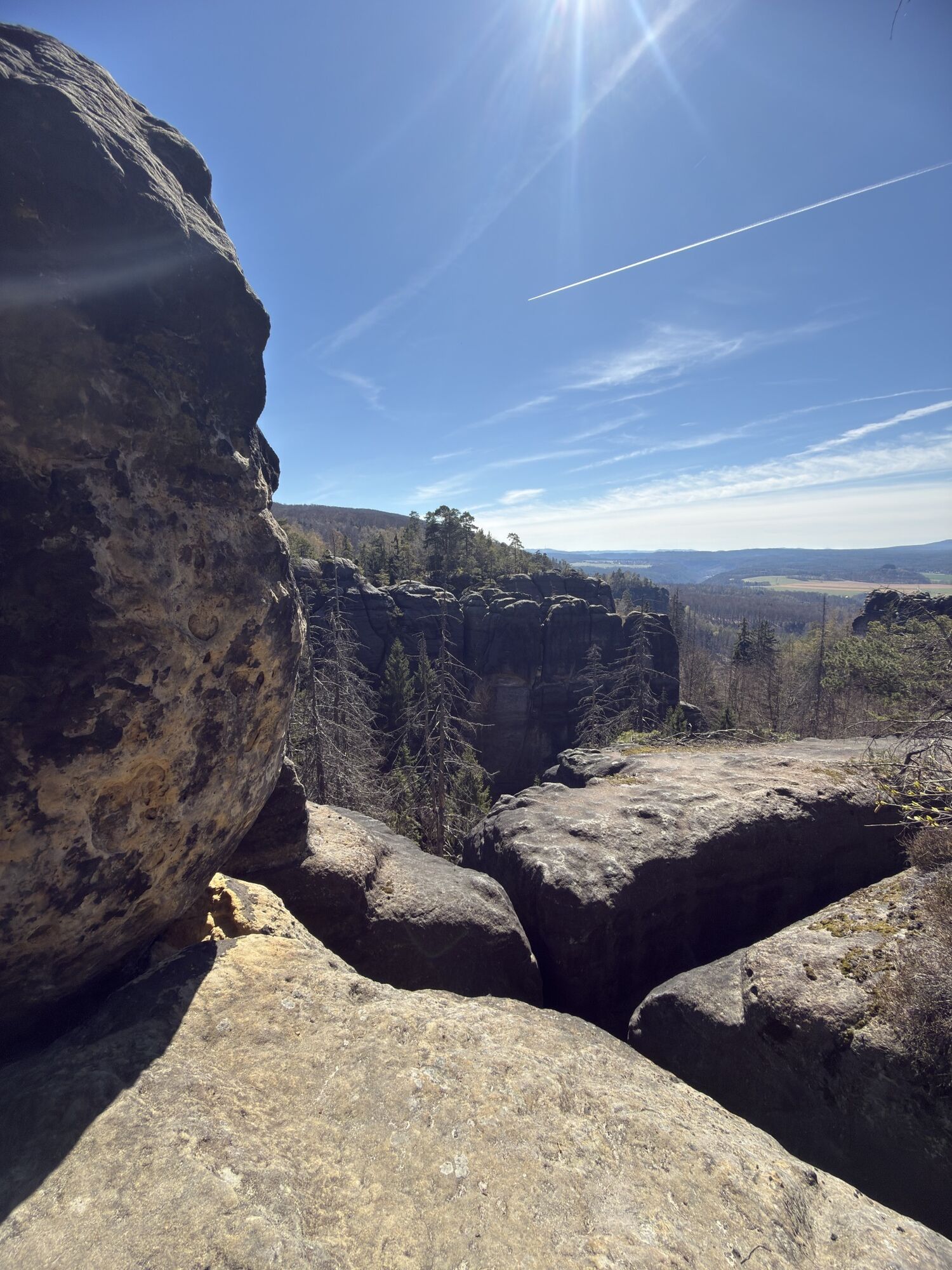
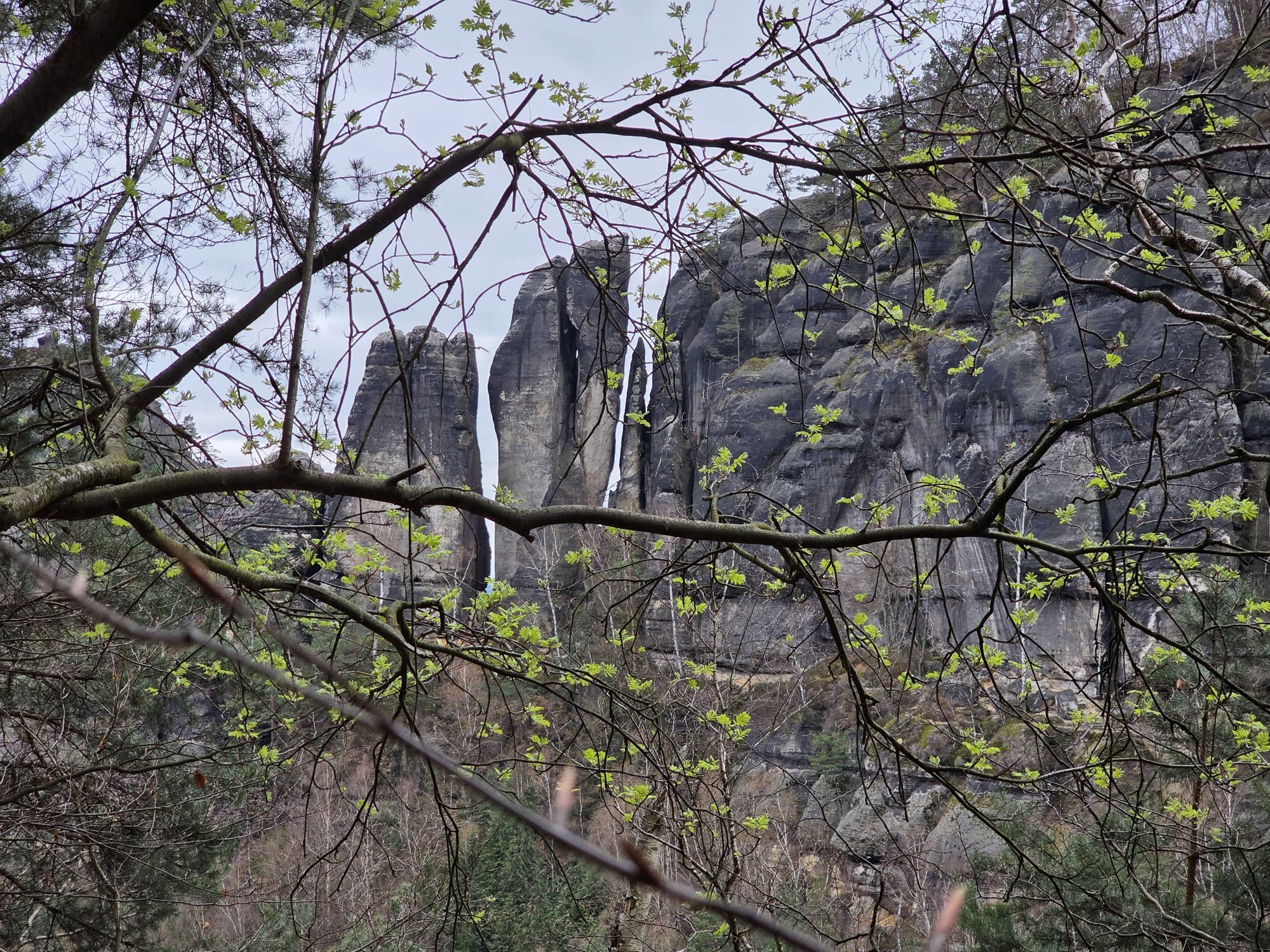
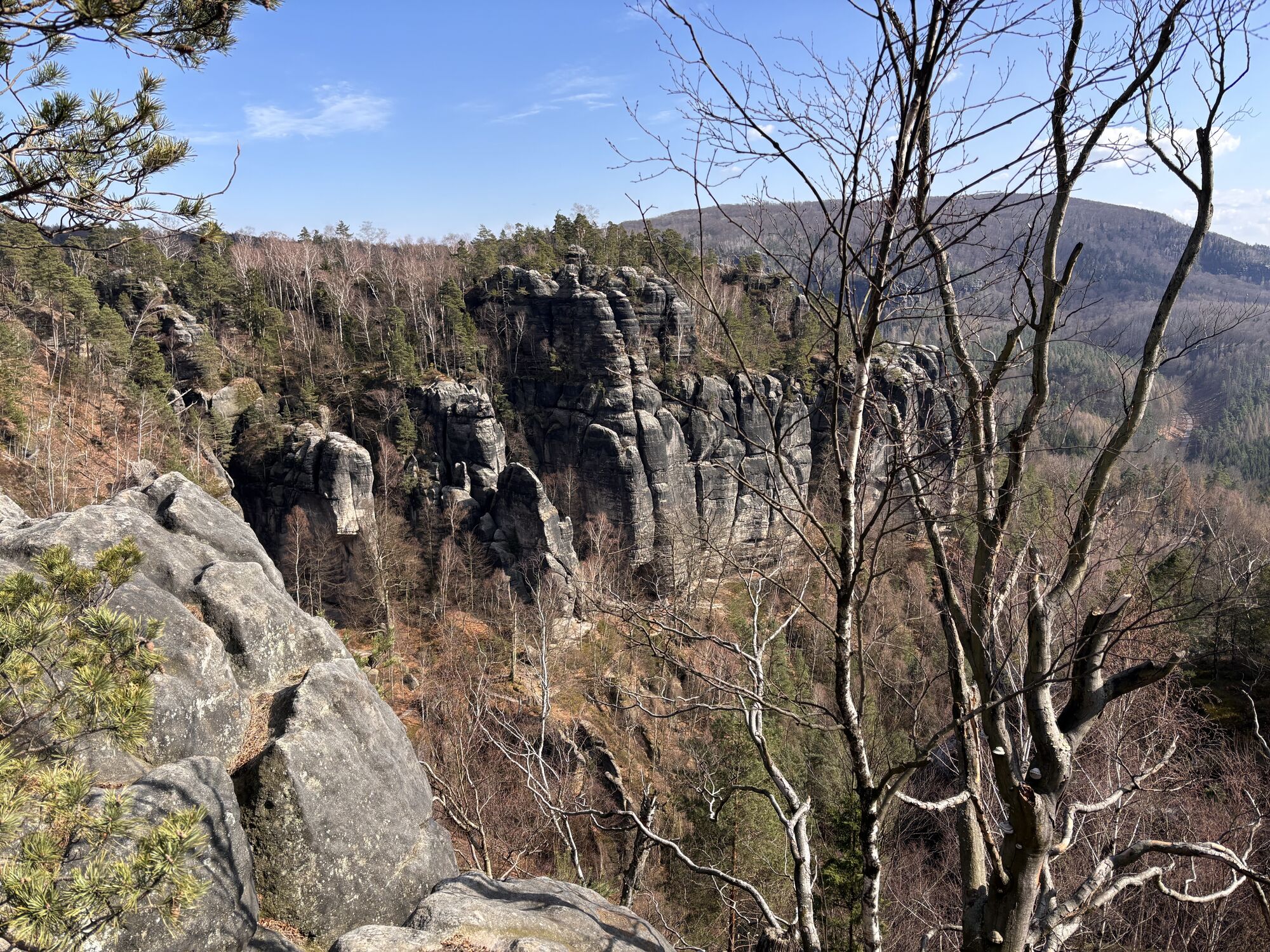
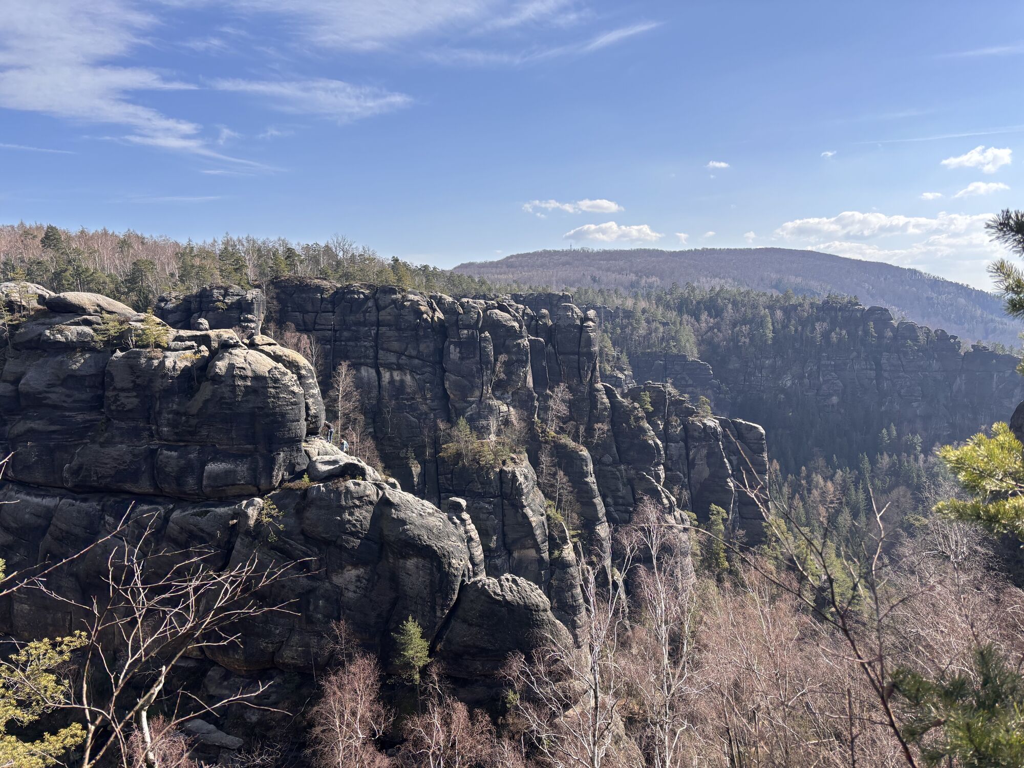
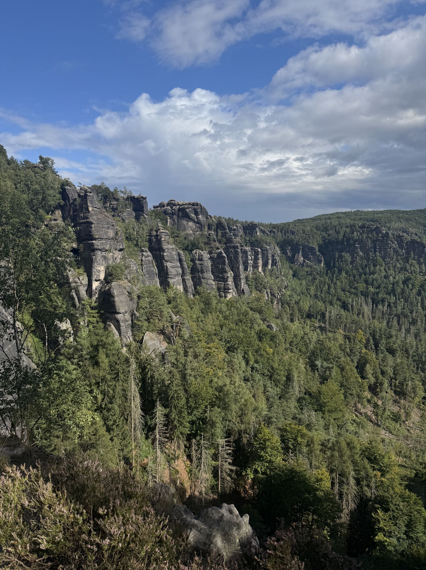
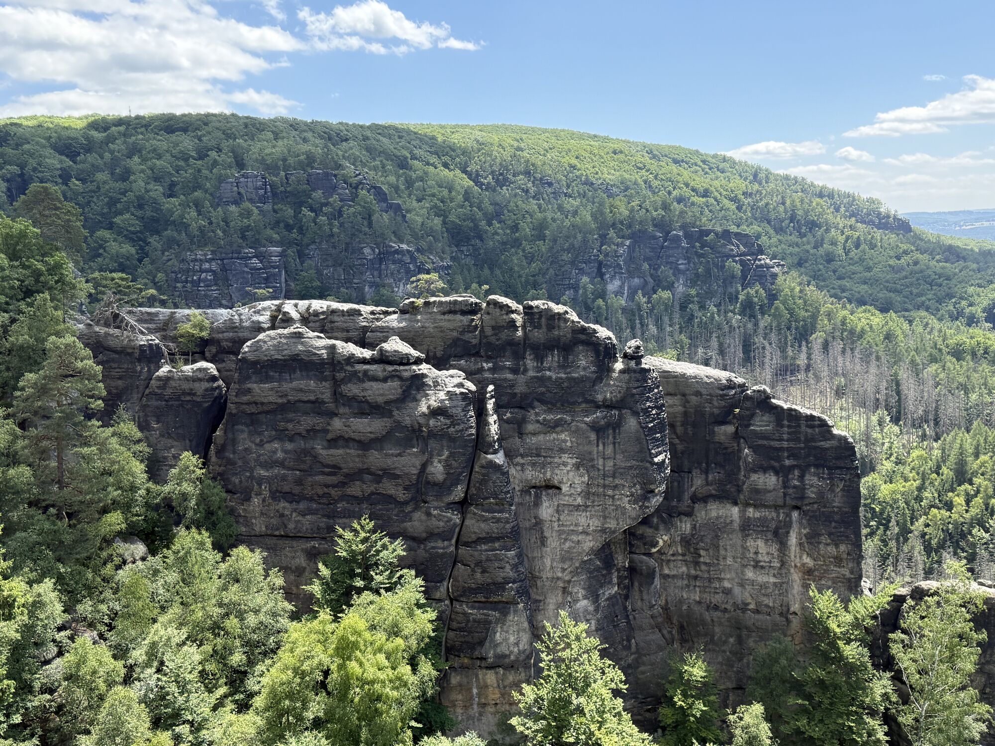
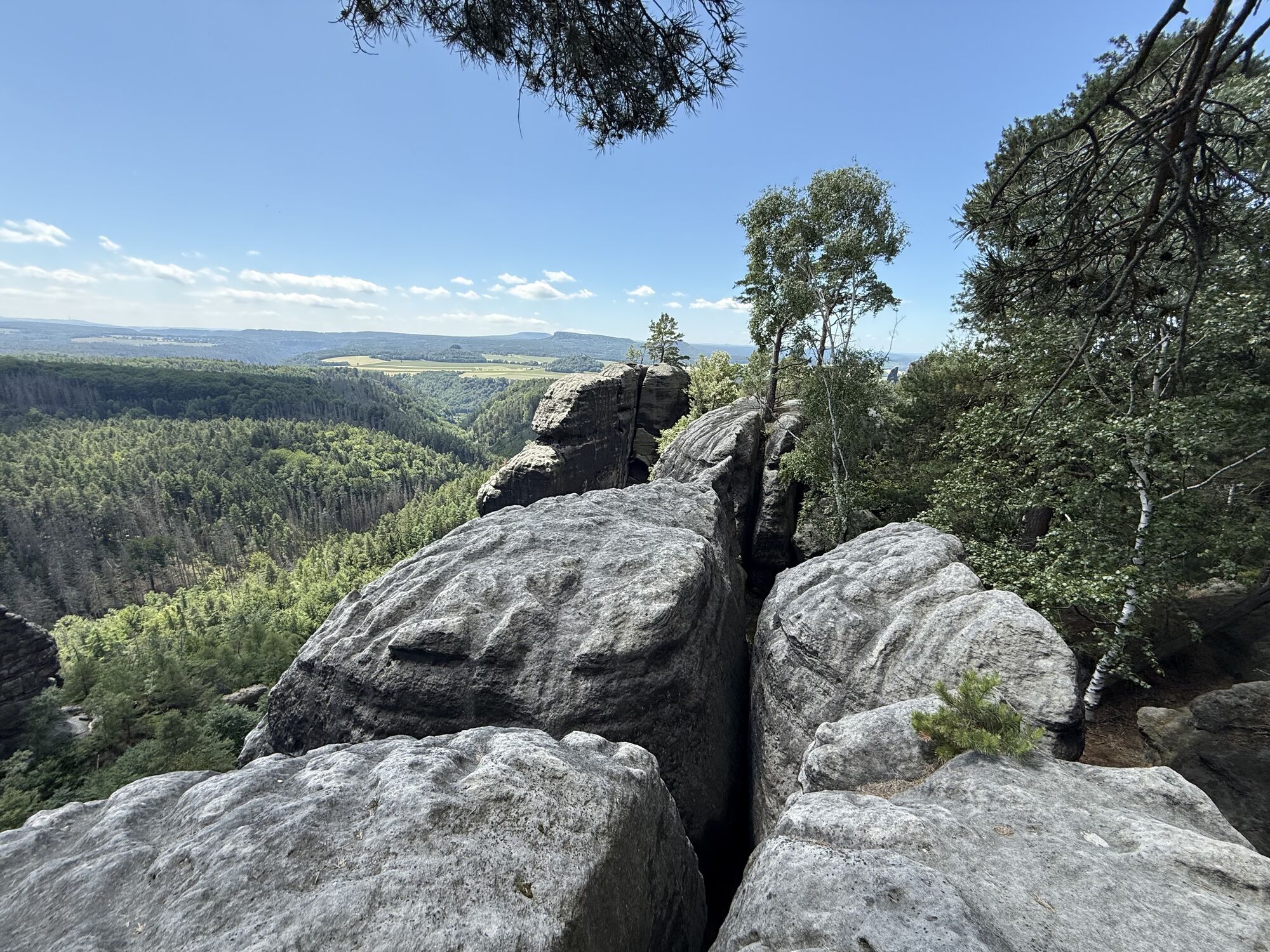
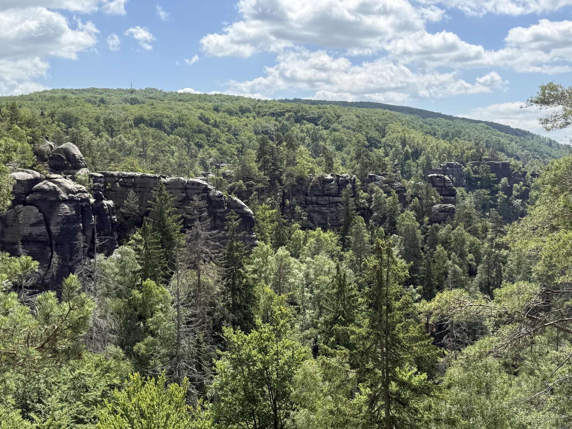
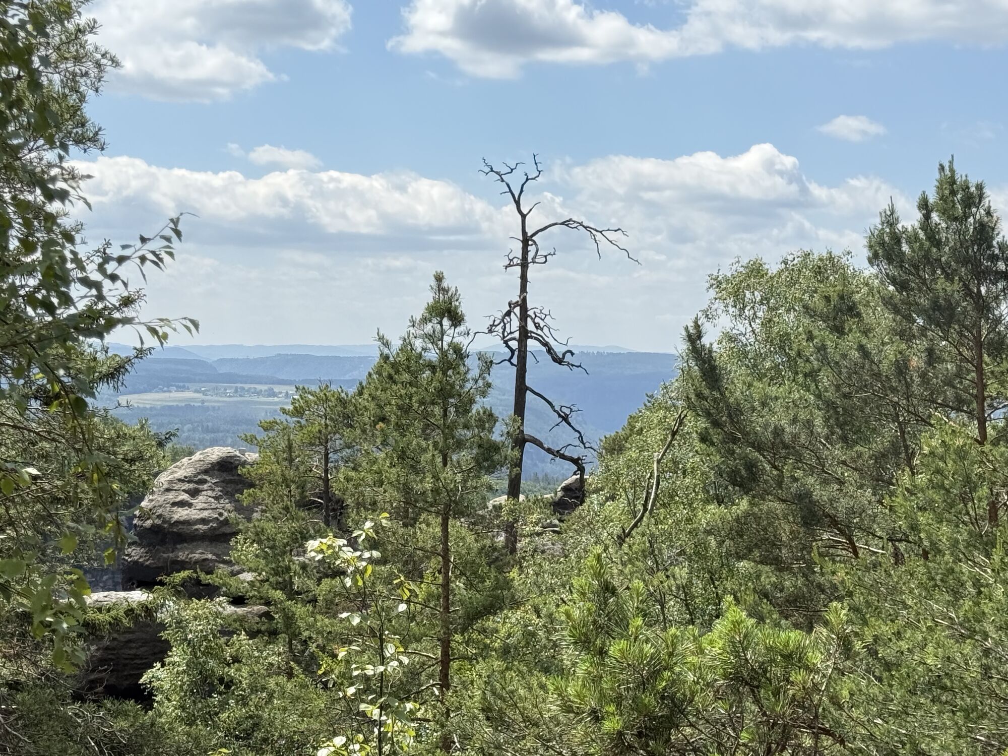
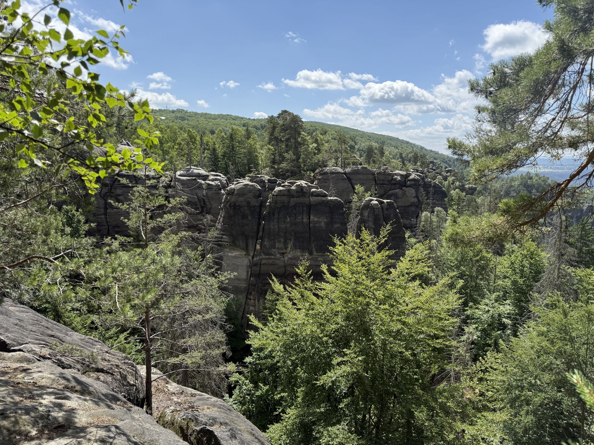
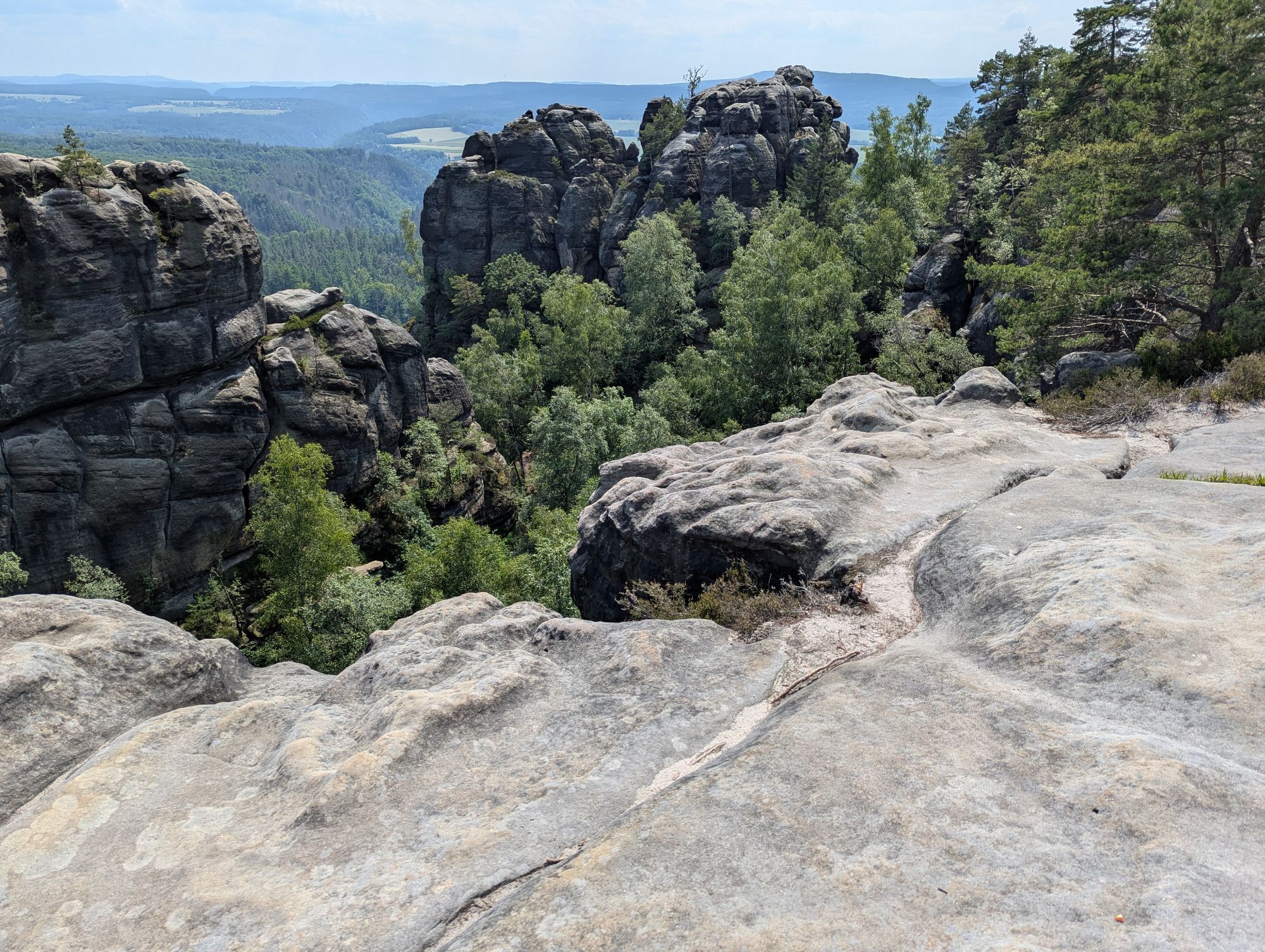
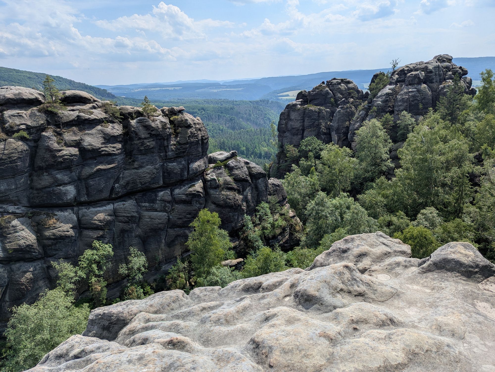
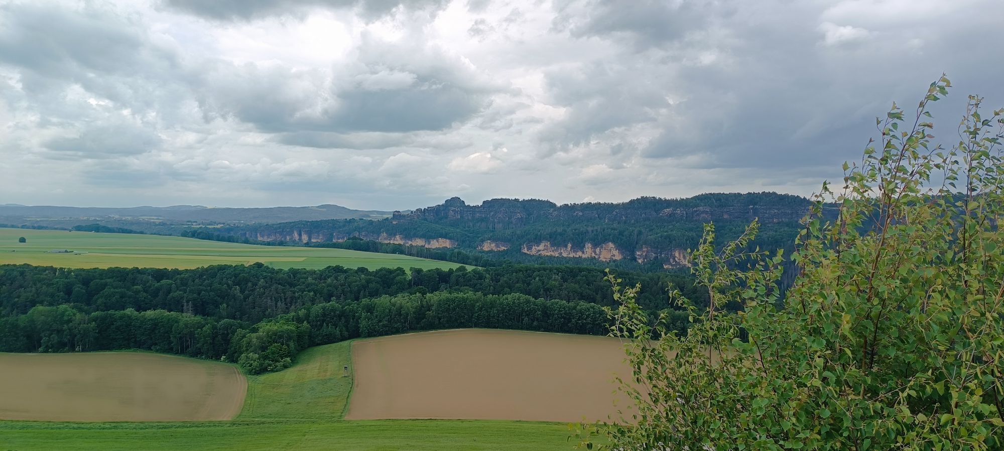
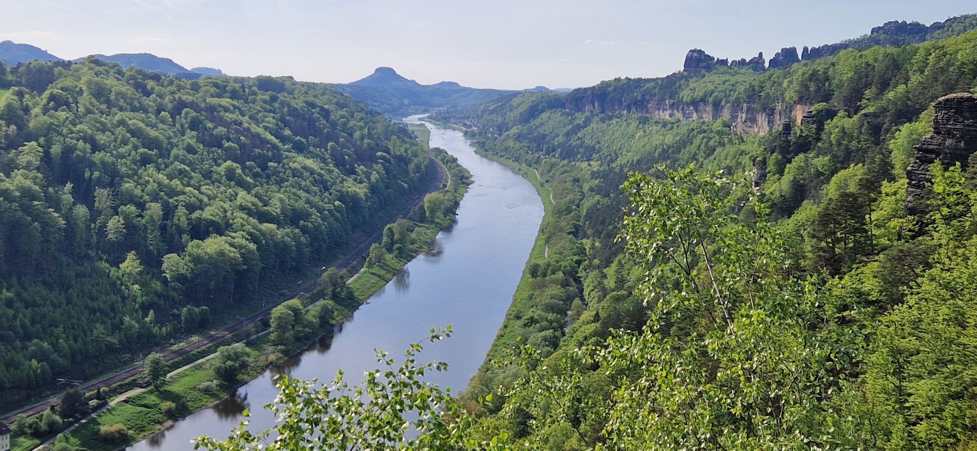
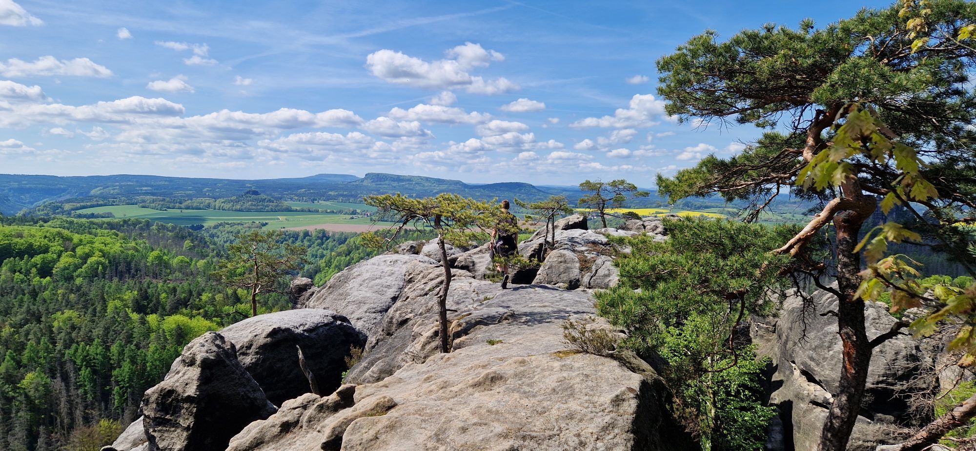
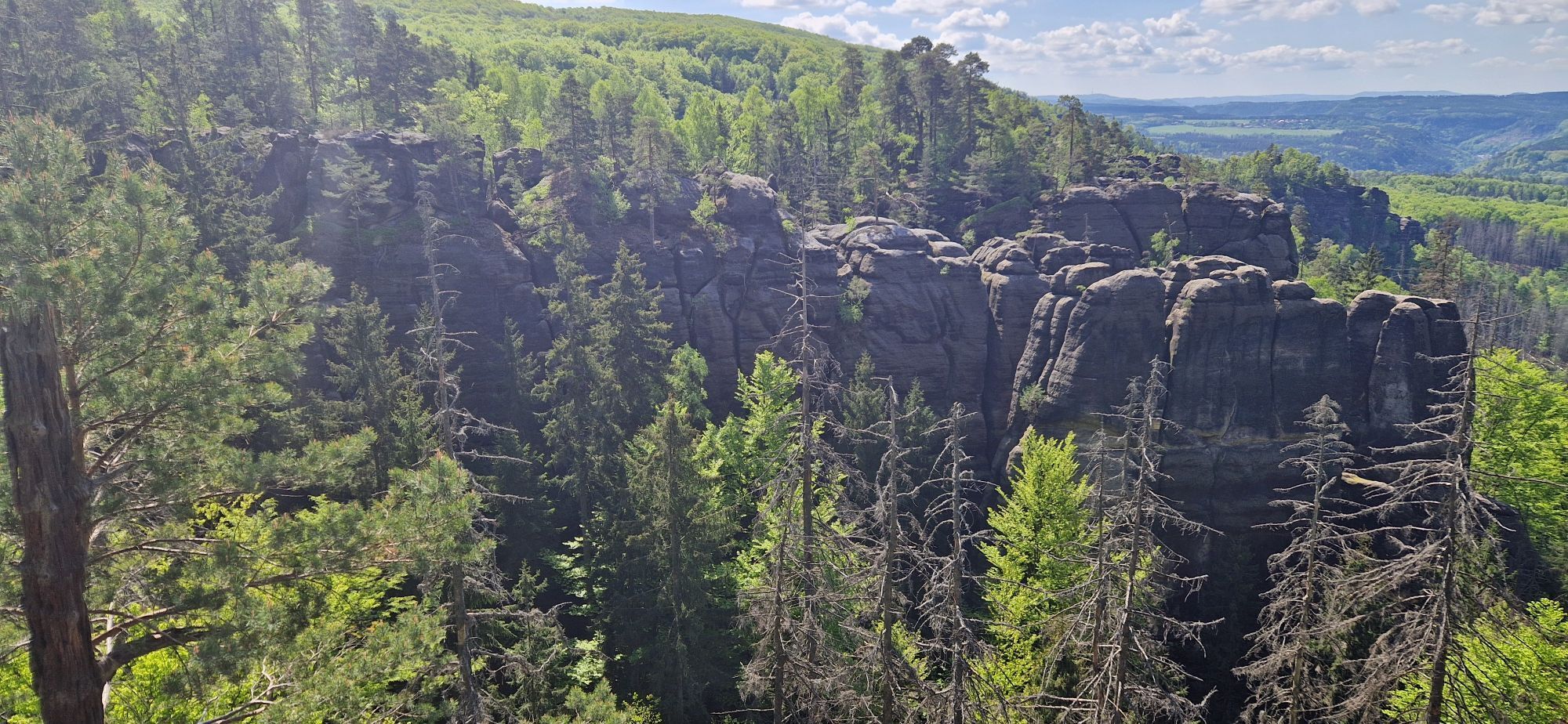
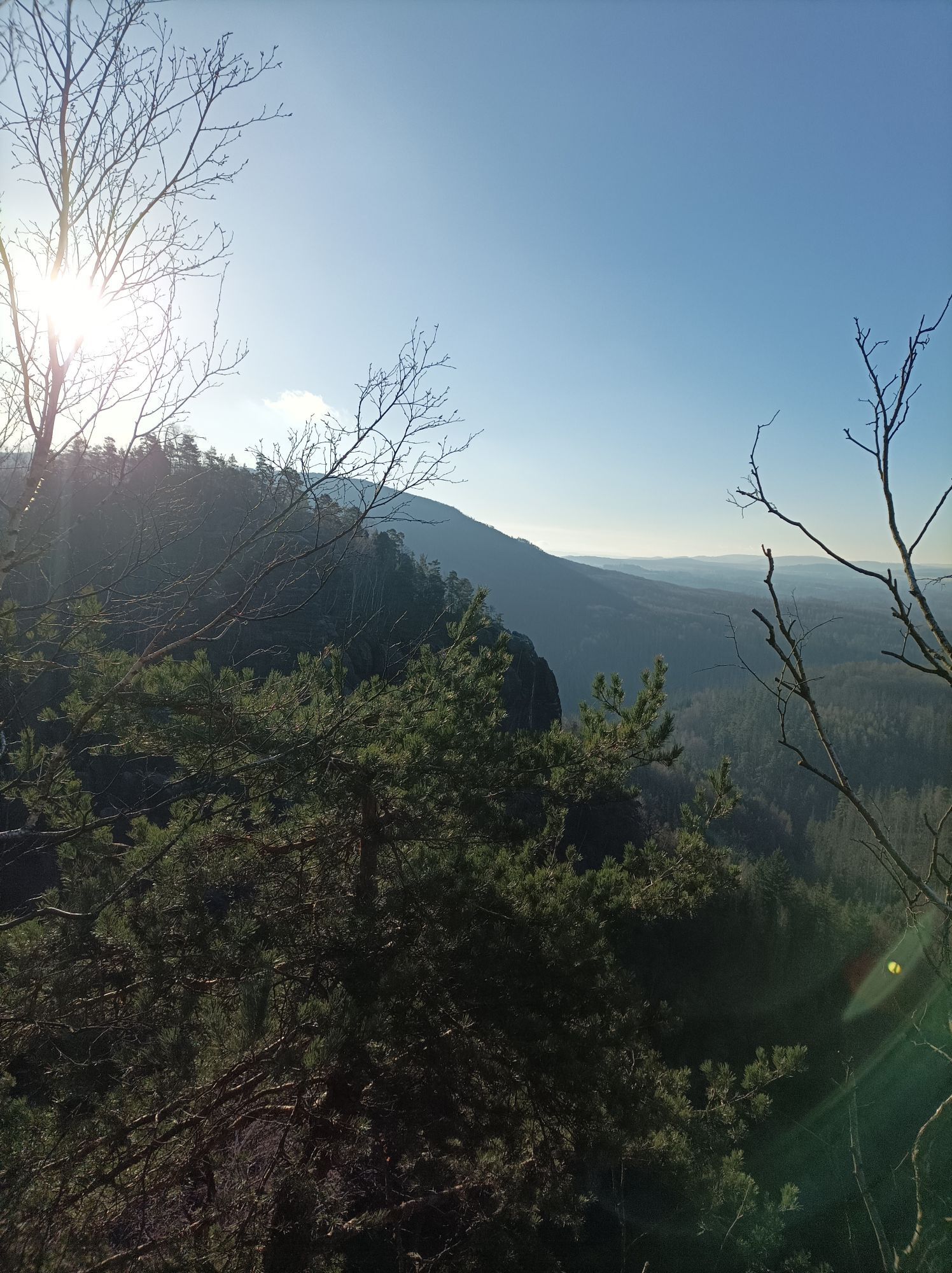
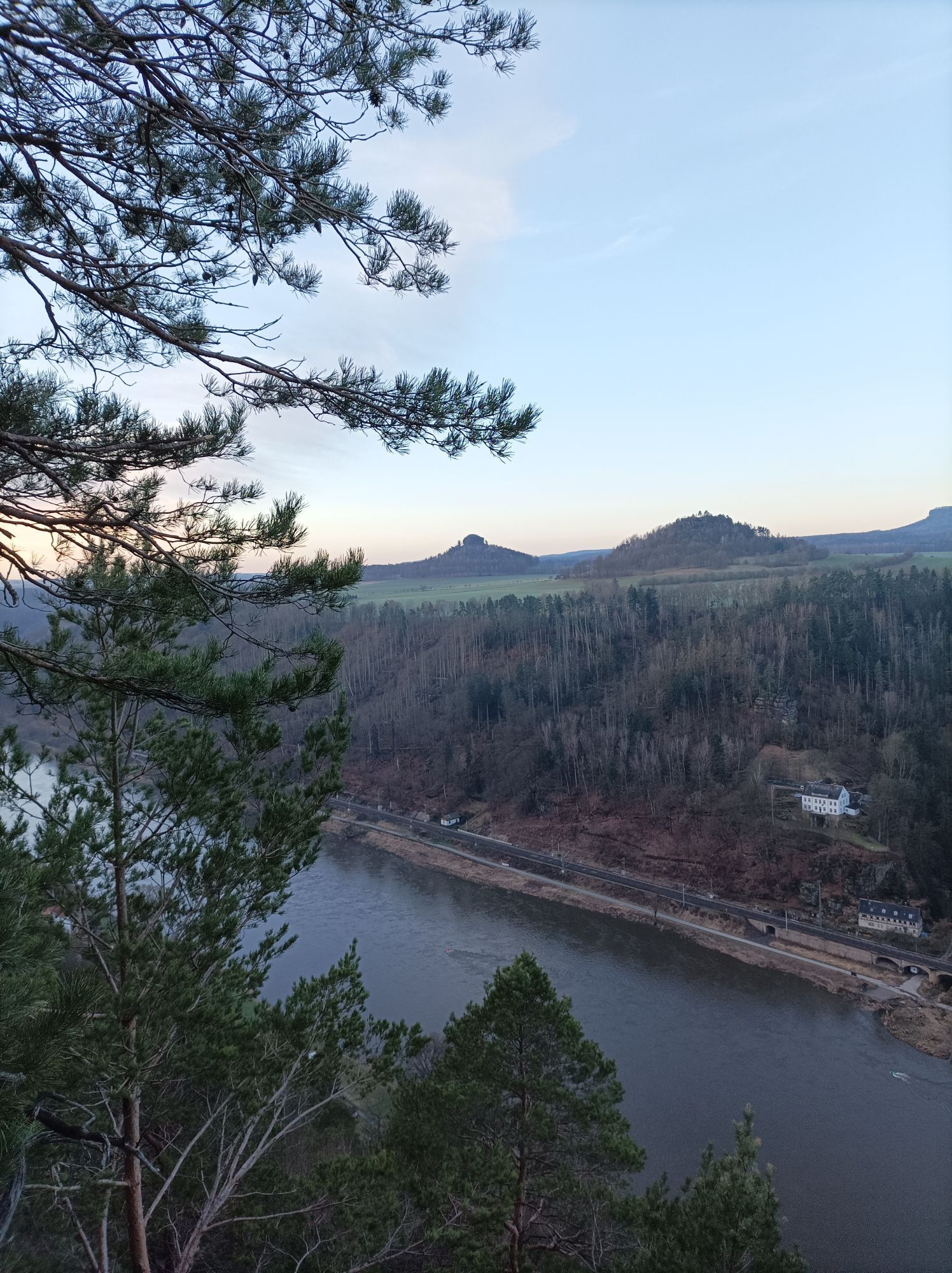
After the ascent, one level higher in the rock world, we turn right and follow the blue line marking. After a little more than 1 km, we take a detour to the right to enjoy a beautiful view of the rocky landscape across to the Wenzelwand.
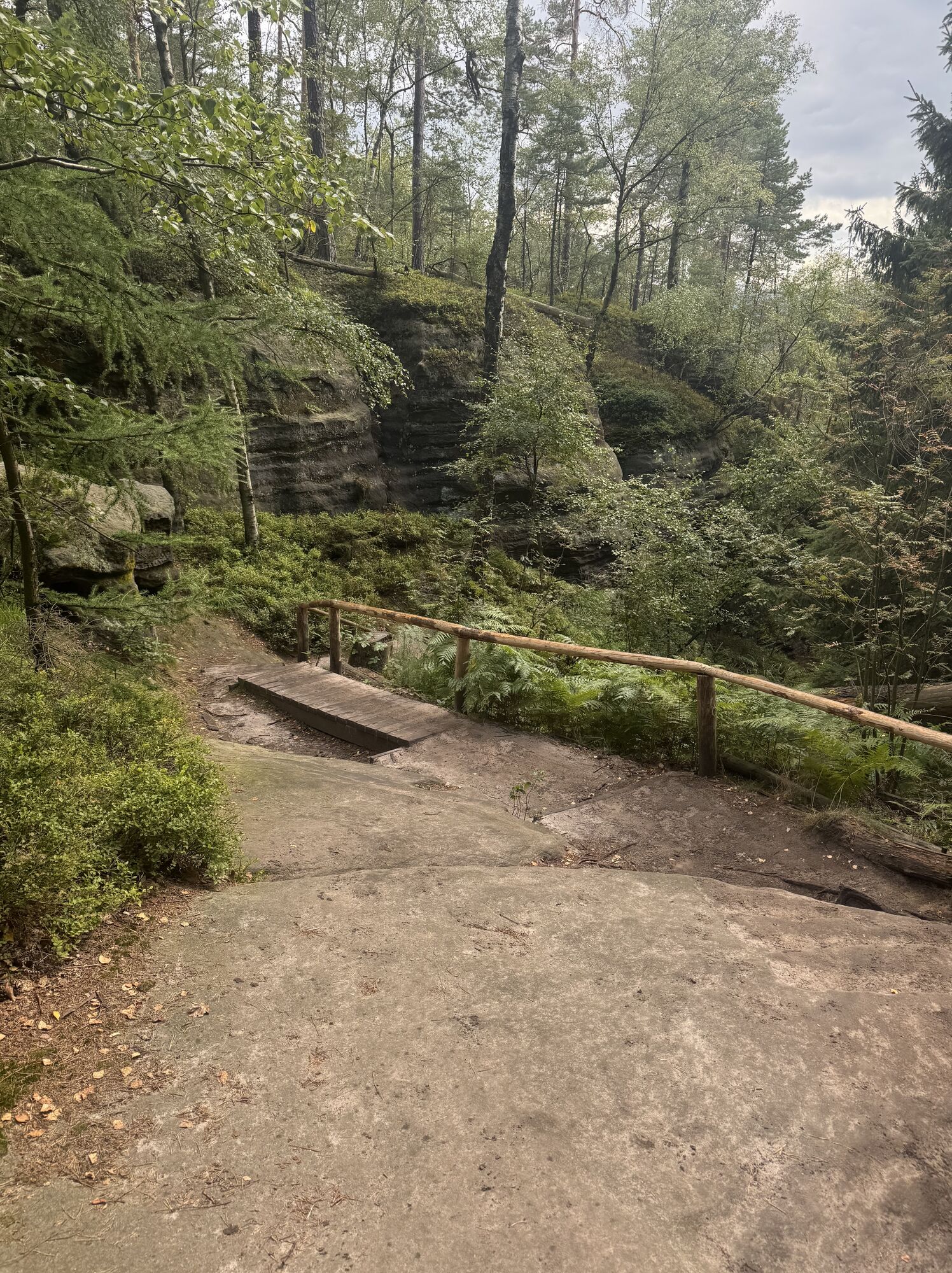
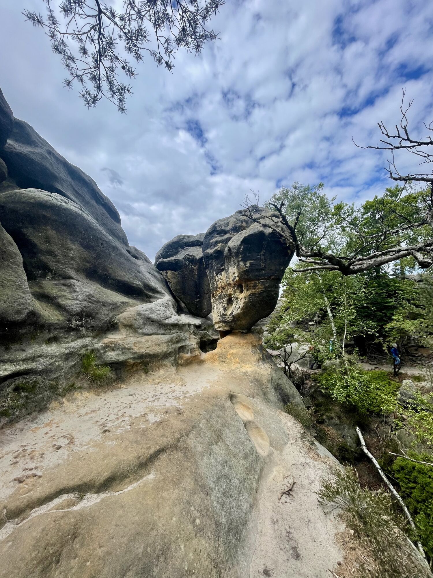
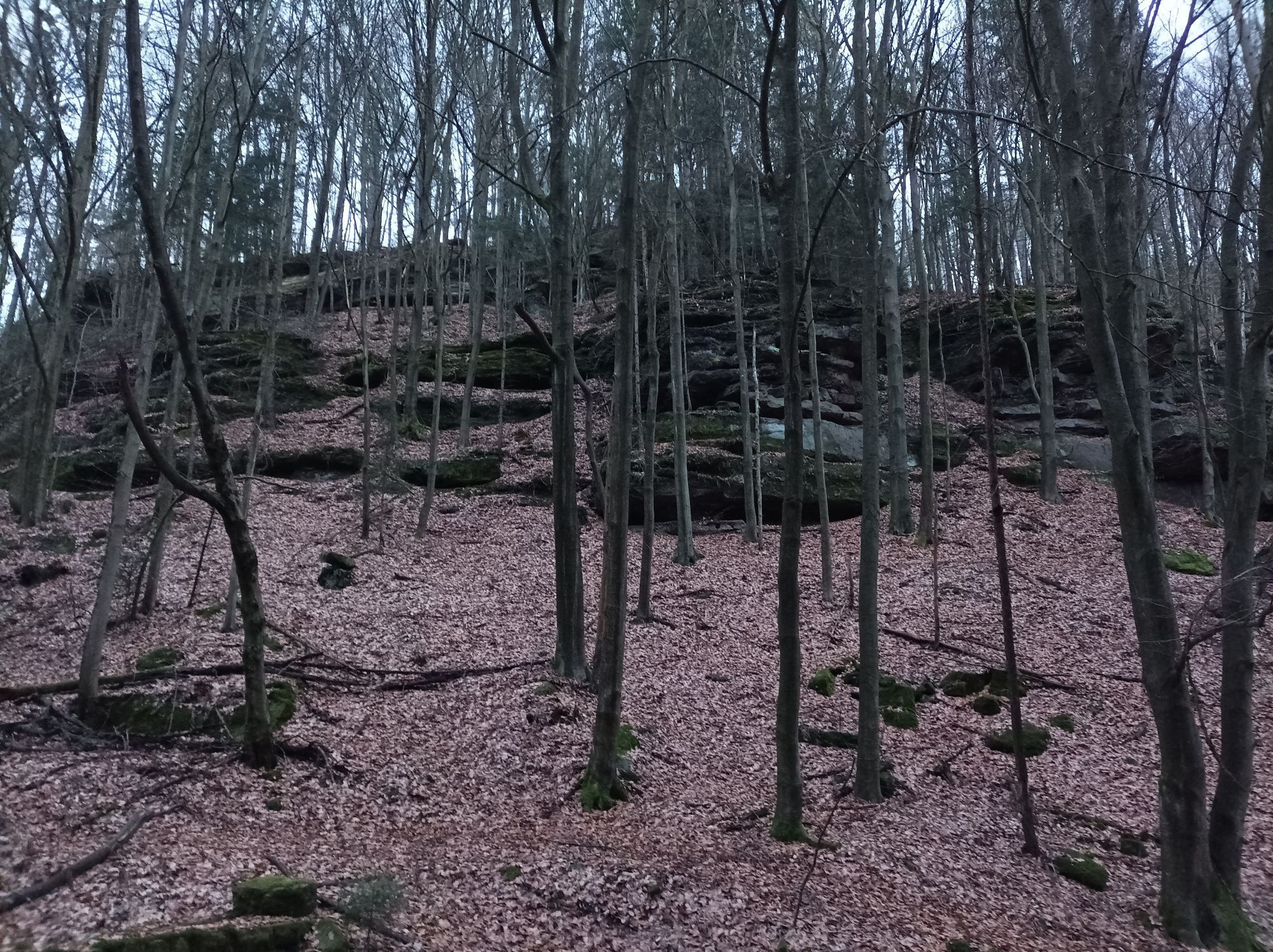
The trail continues at an almost constant altitude. At the junction to the Lehnsteig (signposted, but unmarked) we branch off to the right. We walk along a reef and later descend stairs. Below we reach the root path, keep to the right and at the next large crossroads head downhill (yellow line, road), it is quite steeply downhill in parts and we arrive back in Schmilka.
GPS data updated 2021
Buy here: shop.saechsische-schweiz.de/wanderkar...
Sturdy shoes and food
Schandauer Str. (172) to Schmilka
Parking in Schmilka at the ferry pier (fee required)
The tour is suitable for children, but only to a limited extent for dogs.
Pridobite vpogled Vedno v živo na mestu z več kot 9.500 spletnimi kamerami. bergfex Kot uporabnik Pro si lahko zdaj ogledate ustrezne spletne kamere za številne izlete v aplikaciji izleti iz. Tako si lahko neposredno ogledate trenutne razmere. Priljubljeni izleti v okolici
- 4.7
Rathen / Hockstein / Bastei / Rathen
srednjaPohodništvo 14.4 km - 4.6
Von Rathewalde zur Bastei
Pohodništvo 12.8 km - 4.7
Rundwanderung Bastei Schwendenlöcher -Amselsee
svetlobaPohodništvo 6.21 km - 4.6
Kuhstall, Himmelsleiter und Schneiderloch
srednjaPohodništvo 4.06 km - 4.7
Pfaffenstein Sachsen/Deutschland
srednjaPohodništvo 3.89 km - 5.0
Basteibrücke
svetlobaPohodništvo 2.31 km - 4.9
entlang der Schrammsteine, Breite Kluft, Affenwand
srednjaPohodništvo 11.6 km - 5.0
Lilienstein
svetlobaPohodništvo 3.75 km - 5.0
Prebischtor
srednjaPohodništvo 18.9 km - 4.4
Kurort Rathen: Große Bastei-Runde
srednjaZimsko pohodništvo 4.75 km
Pohodništvo in sledenje


Ne zamudite ponudb in navdiha za naslednje počitnice
Vaš e-poštni naslov je bil dodan na poštni seznam.





