Navigacija po spletni strani
Pridobite to turo v svoj mobilni telefon
Zemljevid
Panoramic hiking trail: from Saupsdorf to Altendorf
srednja
Pohodništvo
19.20 km
Skenirajte kodo QR in začnite navigacijo v aplikaciji bergfex.
QR Code
Pohodništvo in sledenje

Panoramic hiking trail: from Saupsdorf to Altendorf
Razdalja
19.20 km
Trajanje
04:49 h
Ascent
556 hm
Morska gladina
129 - 493 m
Prenos skladbe
Zemljevid
Panoramic hiking trail: from Saupsdorf to Altendorf
srednja
Pohodništvo
19.20 km

Parkplatz | Haltestelle Kiefricht - Kirnitzschtal - Bus zum Panoramaweg - Saupsdorf - Dr.-Alfred-Meiche-Weg - Hohe Straße - Hochbuschkuppe ( - Pfarrberg) -  Mittelndorf ( - Weinberg - Altendorf - Eichhübel....

Opis

Parkplatz | Haltestelle Kiefricht - Kirnitzschtal - Bus zum Panoramaweg - Saupsdorf - Dr.-Alfred-Meiche-Weg - Hohe Straße - Hochbuschkuppe ( - Pfarrberg) -  Mittelndorf ( - Weinberg - Altendorf - Eichhübel. In Altendorf ( - Adamsberg) - Parkplatz bzw. der Haltestelle Kiefricht angekommen.

Pot
Pot
Zemljevid
Panoramic hiking trail: from Saupsdorf to Altendorf
srednja
Pohodništvo
19.20 km
Informacije o turneji

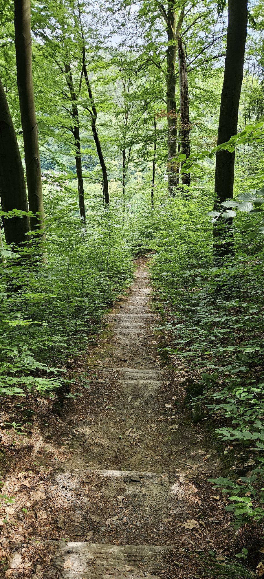
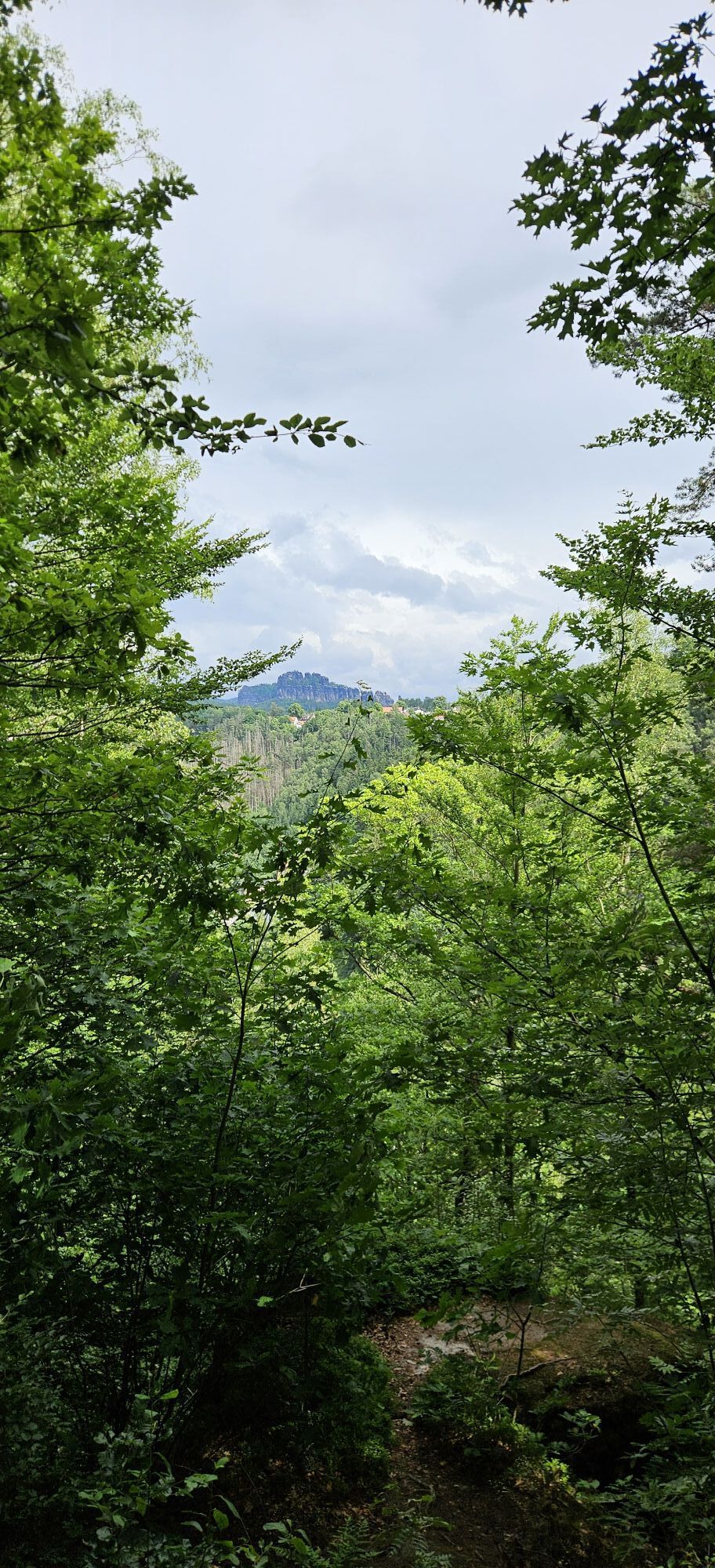
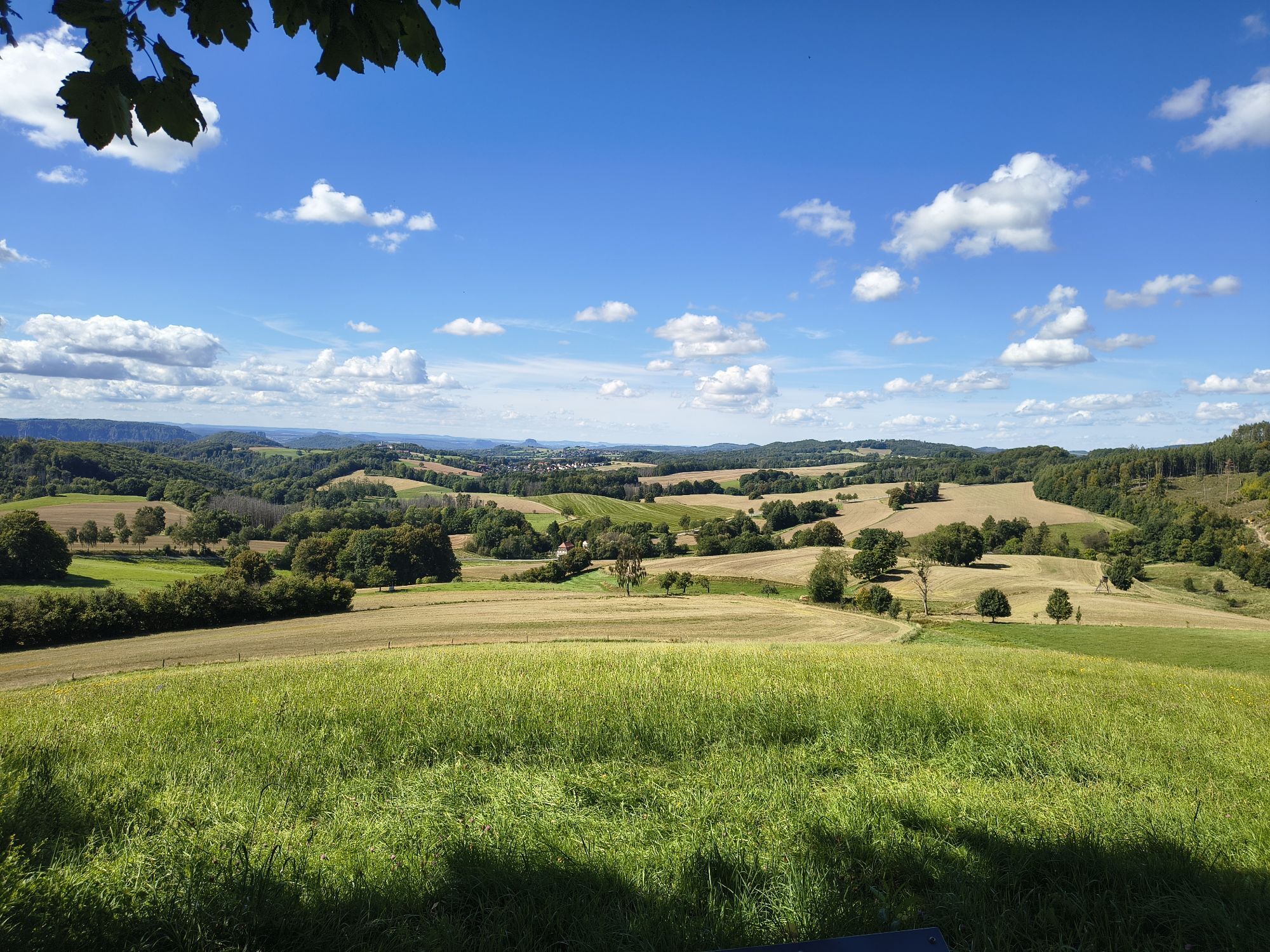
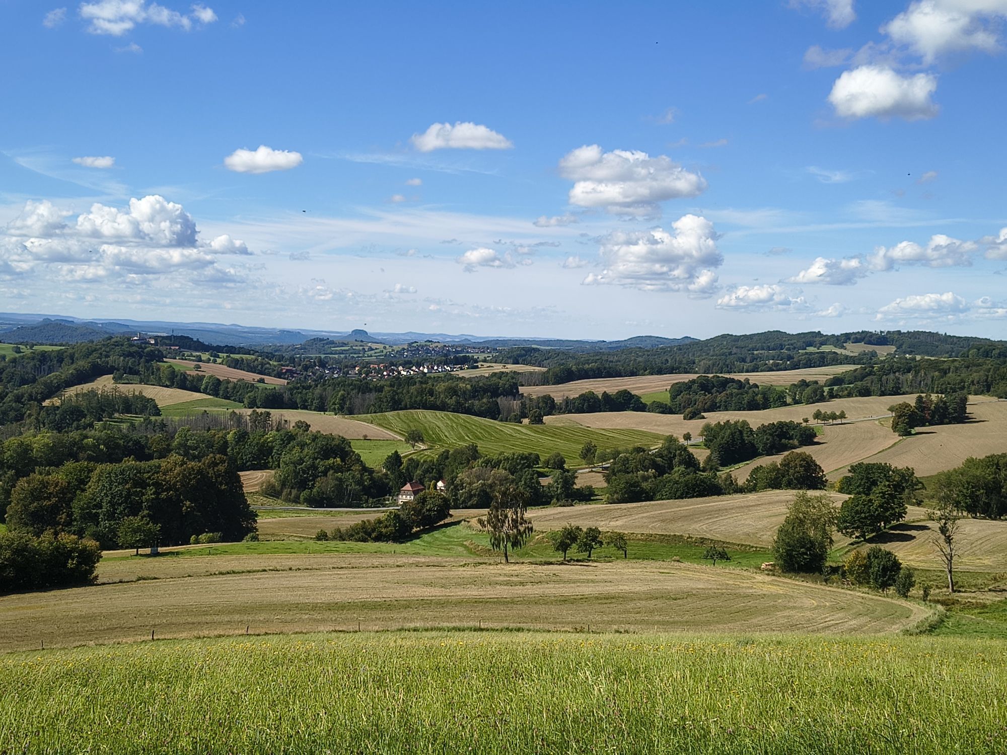
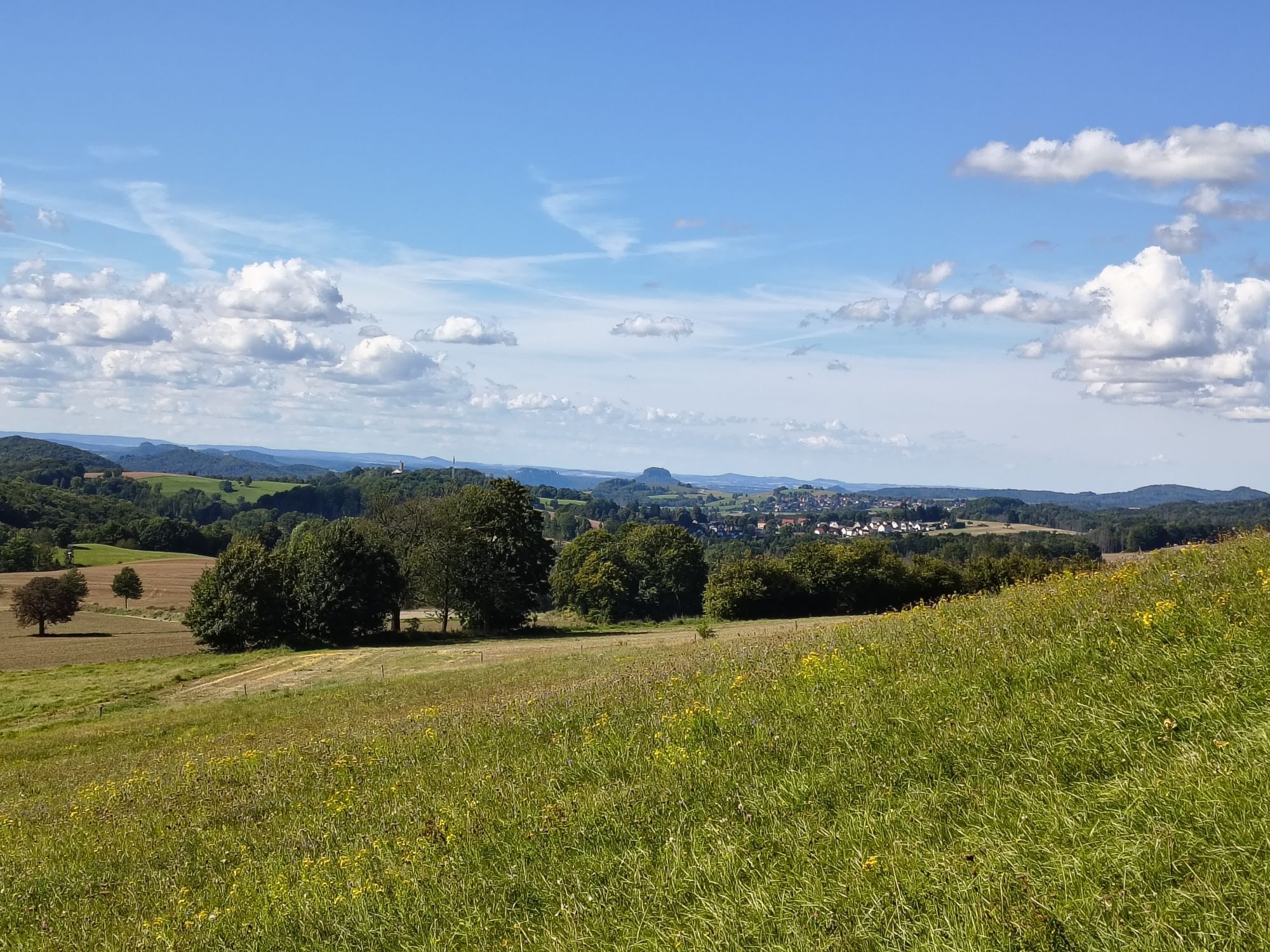
No trail in the Elbe Sandstone Mountains deserves more to be called a panorama trail. Impressive views of the Winterberg massif, the Schrammstein chain or the Affensteine area dominate this approx. 18-kilometre-long route, on which there are no notable climbs to master. Benches and tables invite you to rest at the most beautiful spots. Those who walk this trail can expect an unforgettable landscape experience that even old Elbe Sandstone connoisseurs rave about.No trail in the Elbe Sandstone Mountains is more deserving of the designation Panorama Trail. Impressive views of the Winterberg massif, the Schrammstein chain or the Affensteine area dominate this approx. 18-kilometre-long route, on which there are no notable climbs to master. Benches and tables invite you to rest at the most beautiful spots. Those who walk this path can expect an unforgettable landscape experience that even old Elbe sandstone connoisseurs rave about.

Tehnologija
n.a.
Stanje
2 / 6
Pokrajina
6 / 6
Izkušnje
n.a.
Avtor
Zagotavlja Tourismusverband Sächsische Schweiz
Skupna turneja
Zemljevid
Panoramic hiking trail: from Saupsdorf to Altendorf
srednja
Pohodništvo
19.20 km
Napaka
Zgodila se je napaka. Prosimo, poskusite znova.
Informacije o poti
Pot
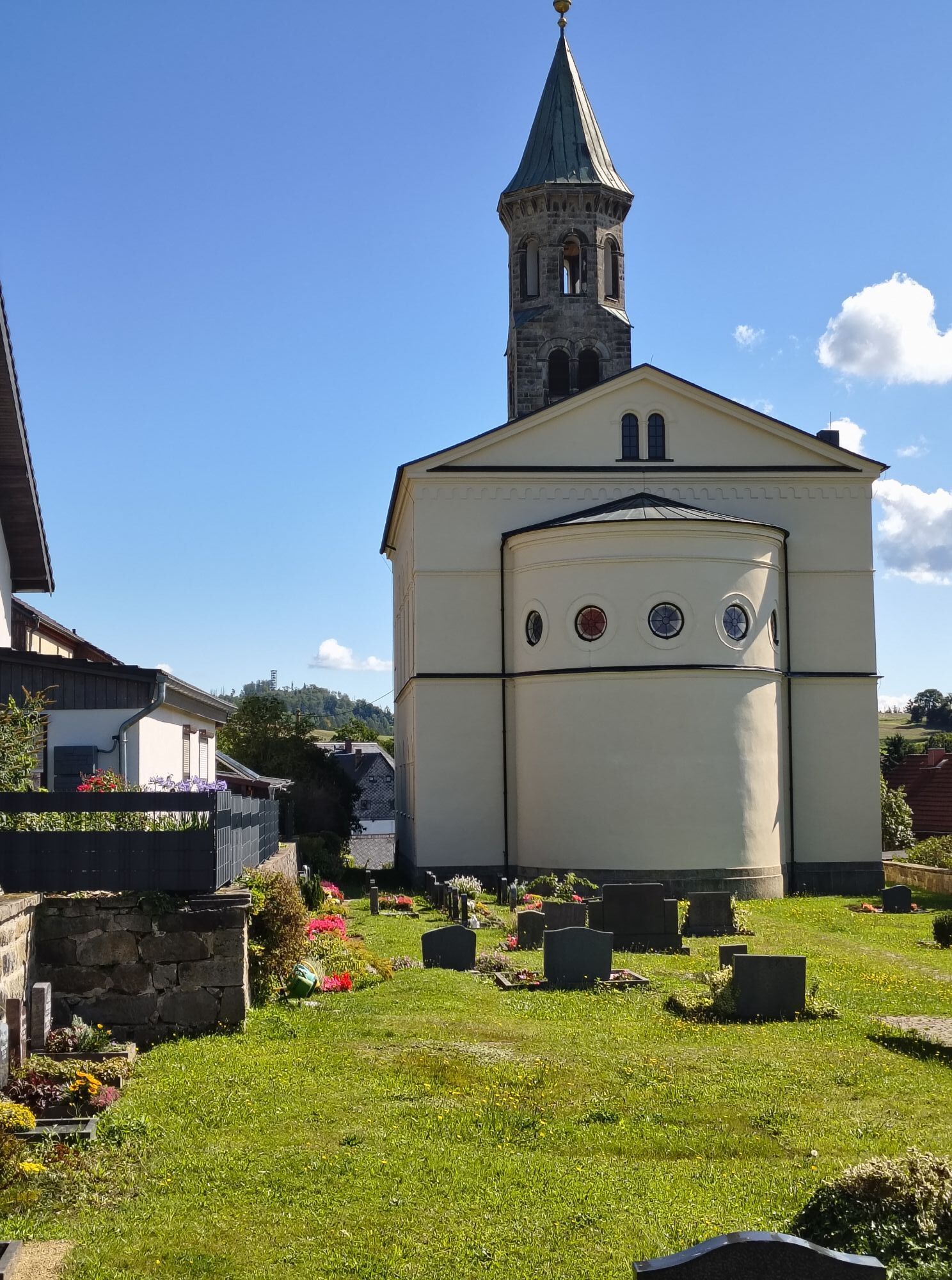
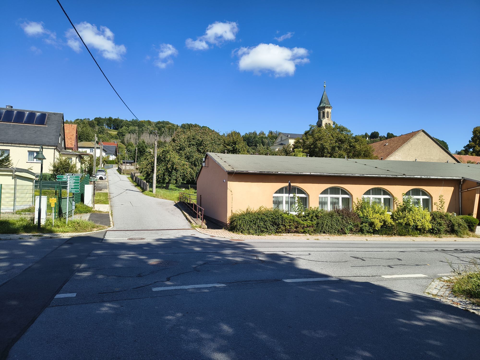
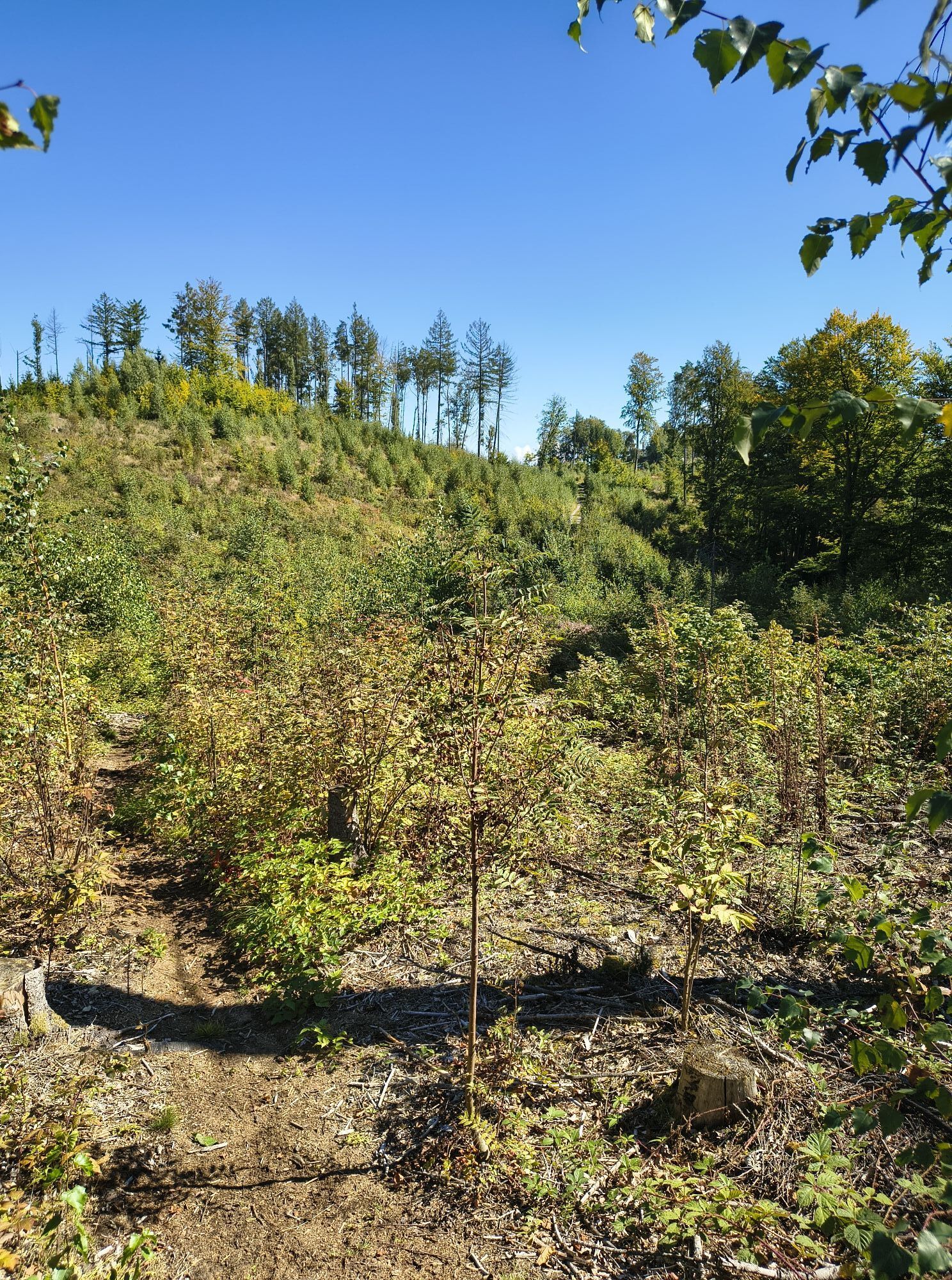
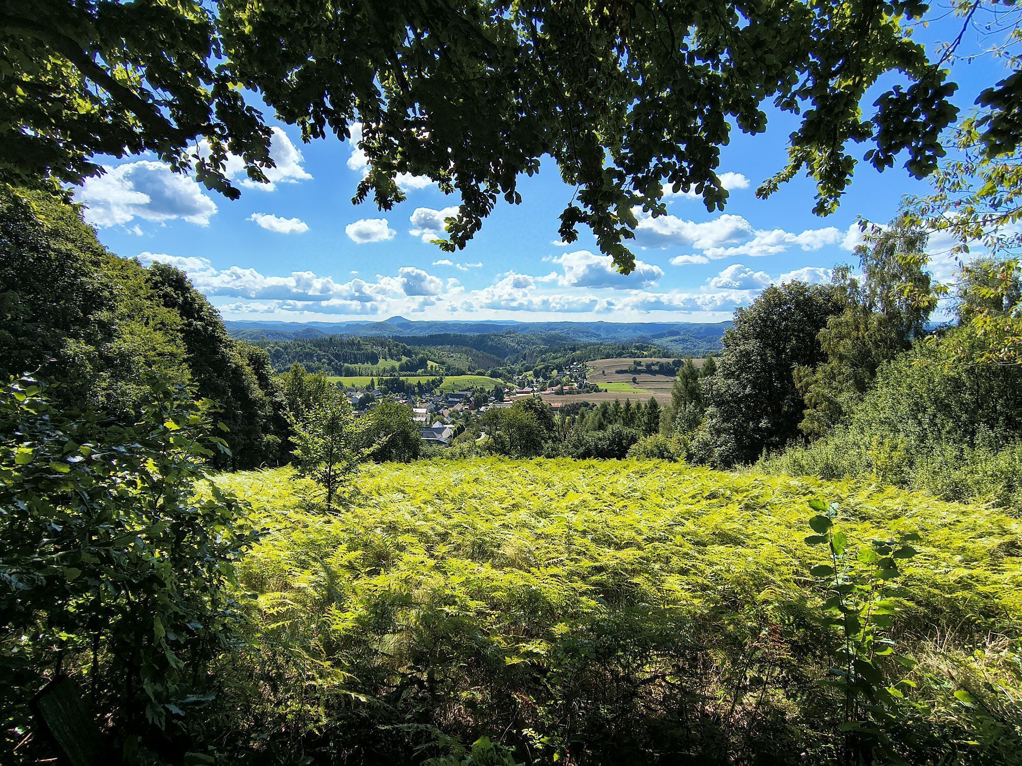
The panoramic hiking trail begins at the parking lot Kiefricht, which is located about 1.4 km above Bad Schandau in the direction of Sebnitz. Bad Schandau can be reached by many bus lines, by boat, by S-Bahn and by Eurocity or by own car via B 172. Our first section is not more than one kilometer long. We walk from the Kiefricht parking lot down into the Kirnitzsch Valley, where we wait for our bus to take us to the starting point of the Panorama Trail. Actually, Saupsdorf is the end point of the Panorama Trail, but due to the better public transport connection in this direction, this variant is suggested here. In addition, the hike is less strenuous, as it is mostly downhill. Arrived in Saupsdorf, the 496 meter high Wachberg immediately catches the eye, which offers a beautiful view, but does not necessarily have to be included in the tour. We now walk out of Saupsdorf and soon find ourselves on the Dr.-Alfred-Meiche-Weg, which leads in the direction of Sebnitz. After about 3 kilometers we have to walk a short piece of road, then leave this path and turn left into Hohe Straße. Our tour leads along this former medieval trade route for a long time, sweetened by some beautiful views, until we pass the Hochbuschkuppe and reach the Kirnitzschtal district of Lichtenhain. Here there is the possibility of a rest, but also to climb the local mountain of Lichtenhain, the Pfarrberg, which offers a panoramic view. The panoramic hiking trail now continues in the direction of Mittelndorf, where perhaps the best panorama of this hiking tour awaits us shortly before entering the village, with numerous peaks and rock massifs. Mittelndorf also has a small mountain in front of the village with a panoramic view, the Weinberg. However, this is also not a fixed part of the tour and can be climbed depending on the condition and weather. From Mittelndorf we now hike to Altendorf. On this route, another view awaits us after about one kilometer, the Eichhübel. In Altendorf (also with a local mountain, the Adamsberg) the last section now awaits us. There are again great views, for example to the Lilienstein or to the Schrammsteinen. After about 2 kilometers we are back at the parking lot or the stop Kiefricht.

GPS data updated 2022

Material kartice

Order now: Hiking maps

Oprema

Hiking shoes required

Varnostna navodila
Please note: in the Saxon Switzerland National Park, only marked trails may be used in the core zone! Fines may be imposed for violations.

designated routes

Informacije o prihodu
Prihod

From Dresden, take the A17 to Pirna, then the B172 via Königstein to Bad Schandau. The border crossing to CR Hrensko - Decin is also signposted - a continuation to Prague is possible.

Javni prevoz
Arrival/departure:

with the S-Bahn S1 to Bad Schandau

Bus line 260 to the "Kiefricht" stop

Parkirišče

Bad Schandau Kiefricht

Še ni pregledov
Napišite pregled

Mnenja pomagajo drugim uporabnikom pri izbiri naslednje pustolovščine. Ocenite samo izlet, ne pa tudi vremena ali prigrizka.

Izberite eno od zvezdic, da ocenite ogled
Slaba turneja
Šibka turneja
Povprečna turneja
Dobra tura
Odlična tura
bergfex logo Pridobite vpogled Vedno v živo na mestu z več kot 9.500 spletnimi kamerami. bergfex Kot uporabnik Pro si lahko zdaj ogledate ustrezne spletne kamere za številne izlete v aplikaciji izleti iz. Tako si lahko neposredno ogledate trenutne razmere.
Pohodništvo in sledenje

Pohodništvo in sledenje

Pohodništvo in sledenje
Zaradi več kot 550.000 predlogov izletov, podrobnih zemljevidov in intuitivnega načrtovanja poti je aplikacija obvezna oprema za vse ljubitelje narave.
bergfex