






Mining nature trail Fröbesteig in Schwarzenberg
The nature trail begins in the district of Sachsenfeld, below the manor. At the starting point, there are information boards about the nature trail and a hut with carved figures that rotate in a circle...
The nature trail begins in the district of Sachsenfeld, below the manor. At the starting point, there are information boards about the nature trail and a hut with carved figures that rotate in a circle like a pyramid. The figures represent former local and traditional occupations. One of them is a miner holding an ore step in his hand, a reminder of the former mining industry in Schwarzenberg. The nature trail invites locals and visitors to hike and offers great opportunities to discover traces of historical mining in and around Schwarzenberg, to enjoy wonderful views of the surrounding region and to experience beautiful nature. The mining nature trail is marked with a diagonal green bar on a white background. There are 18 information boards along the trail which mark and describe the individual stations.

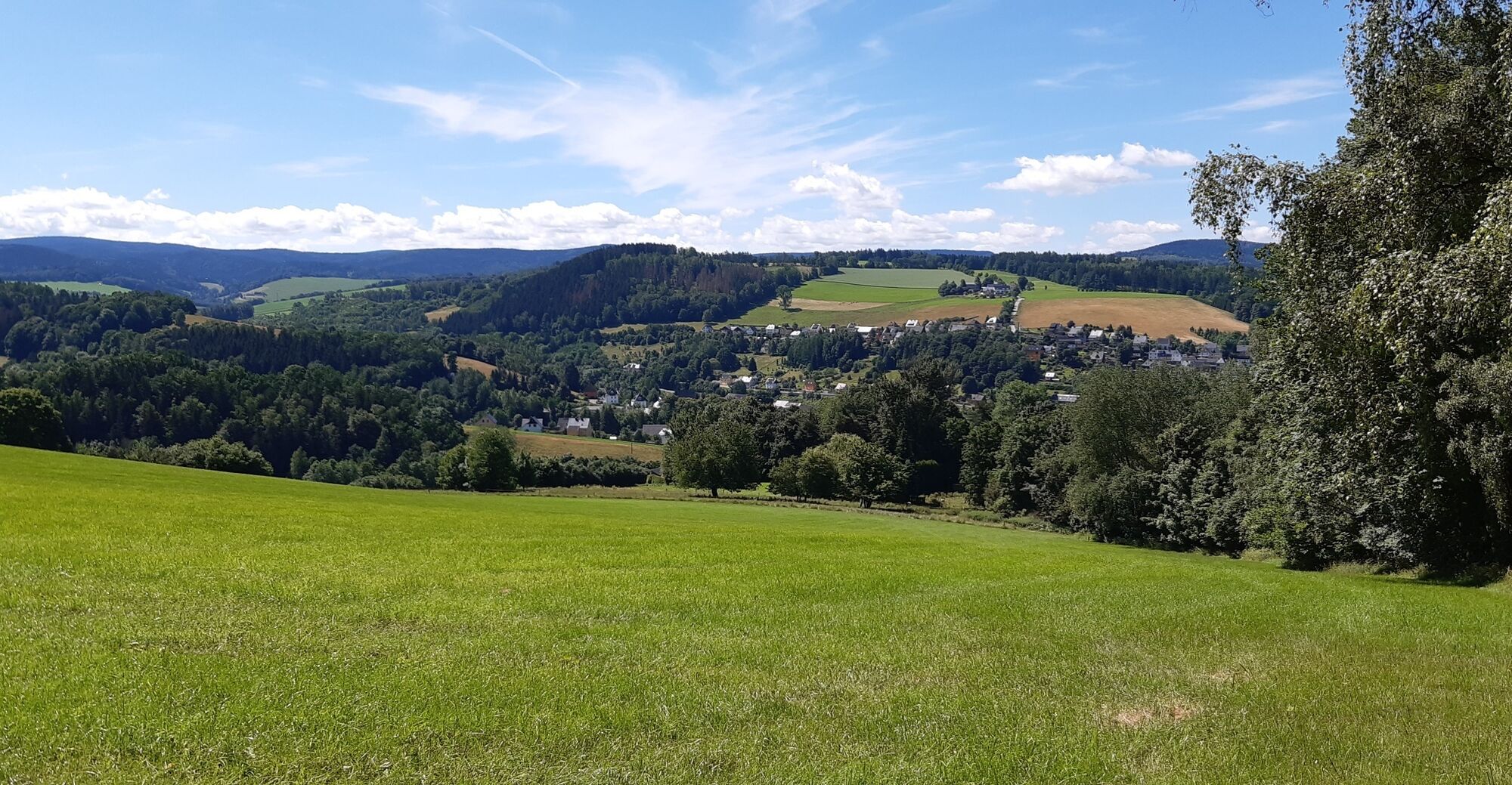

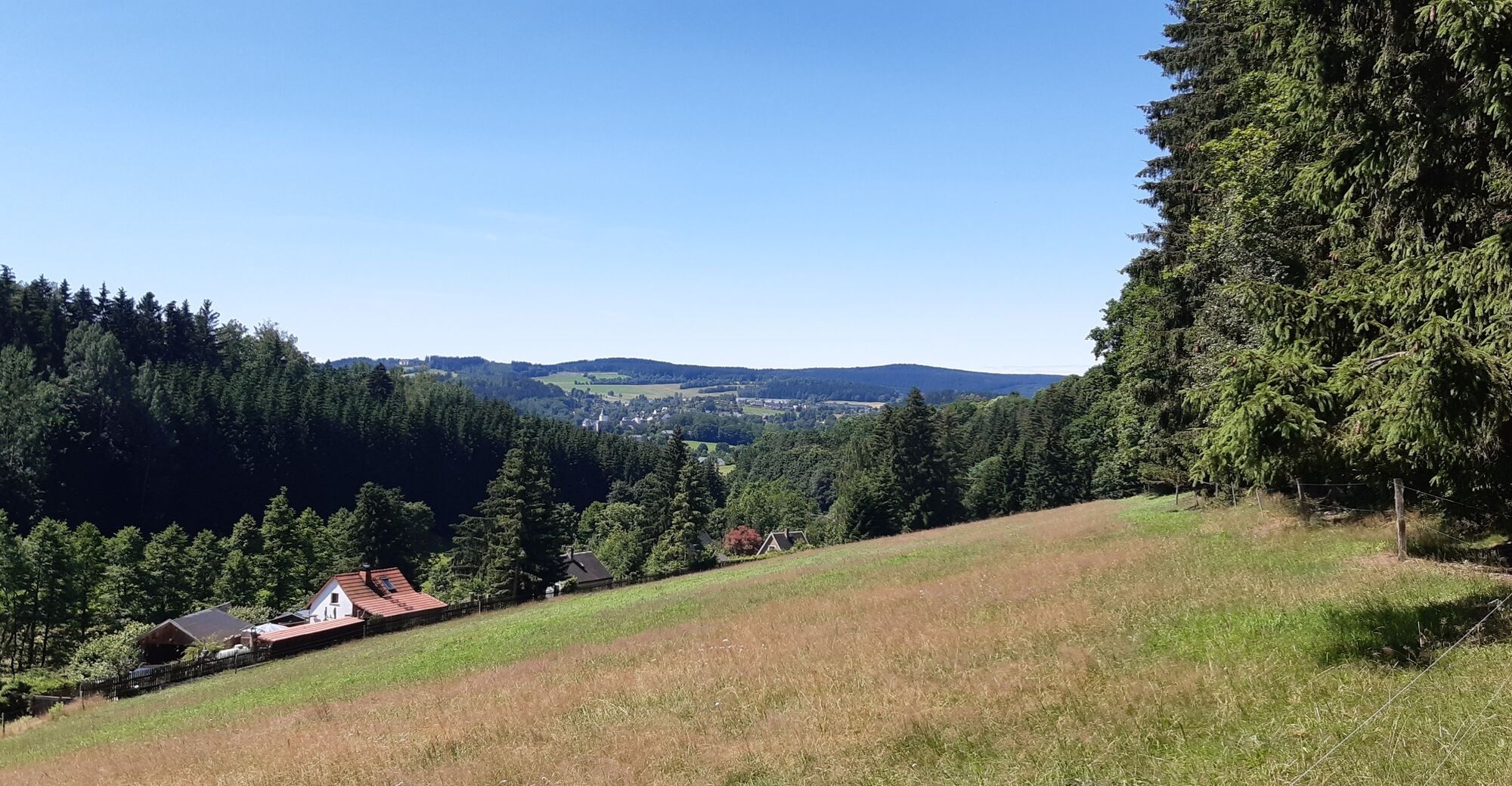

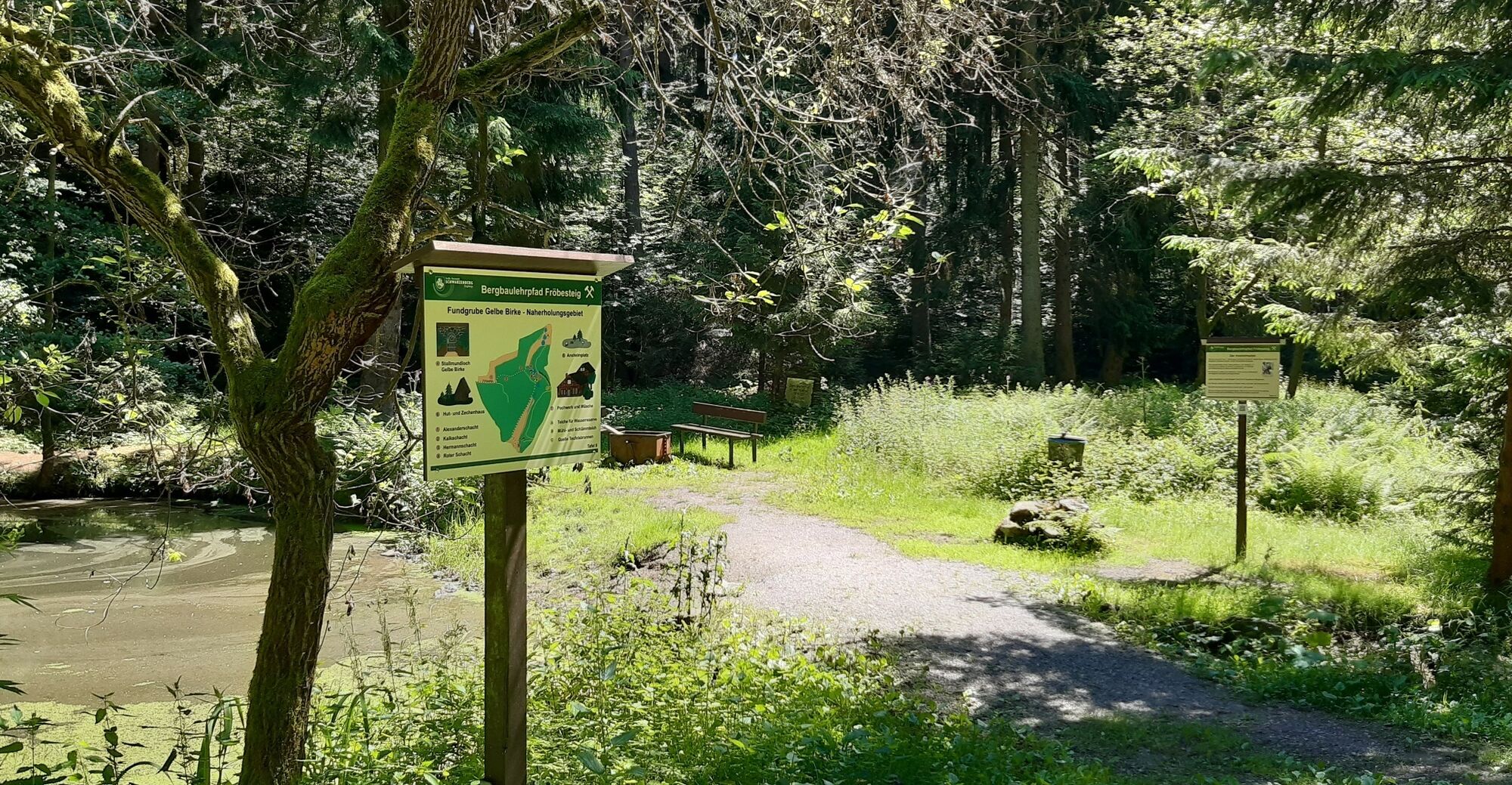

The nature trail leads from the starting point up Grünhainer Straße for approx. 200 m and then right along the street Am Schloßwald. The first witnesses of the historic Treue Freundschaft mining district and the old lime works can be found at the Schlosswald. immediately after the former lime kiln, uphill along the Grünhainer Weg, past the Krauß tower, which is hidden behind the high hedge, you reach the mouth of the Neujahr Stolln. The trail leads along old farm tracks with views of Schwarzenberg's landmark St. George's Church and castle over the Kalkbinge past the Schloßberg and Bielberg, the two highest points of the circular trail, to the "Breite Feld". Turn right along the path at the edge of the field past the Guckäuschelschacht and Alexander Schacht shafts, which already belong to the Gelbe Birke mine. Continuing along the path, after the Hermann Schacht, a narrow path turns off to the left directly to the mouth of the Gelbe Birke tunnel. The Gelbe Birke mine invites you to discover and linger, and the educational mining trail then leads downhill towards Oswaldtal. To the left, past the Roter Schacht to the refuge, you reach the turning point of the tour. Here you have the option of extending the tour. Following the green and then the red (EB) trail markings, the hike can be extended to the Graul mining landscape with the Huthaus and Grube Gottes Geschick mine or to the Herkules-Frisch-Glück show mine. Along the Oswaldtalstraße you reach the road Am Schloßwald. Following this road to the right, the path leads back to the starting point of the hike.
Da
Da
from train and bus station Schwarzenberg Stadtlinie, exit bus stop Neustädter Hof
Parking along Grünhainer / Robert-Koch-Straße
Pridobite vpogled
Vedno v živo na mestu z več kot 9.500 spletnimi kamerami. bergfex Kot uporabnik Pro si lahko zdaj ogledate ustrezne spletne kamere za številne izlete v aplikaciji izleti iz. Tako si lahko neposredno ogledate trenutne razmere.
Priljubljeni izleti v okolici
-
Rundwanderung Talsperre Sosa
svetlobaPohodništvo 7.95 km -
4.0
Panorama trail Schwarzenberg
srednjaPohodništvo 13.8 km -
4.7
Schlettau circular hiking trail "On the steps of Ottomar Zahm"
srednjaPohodništvo 11.0 km -
In the footsteps of the Hundsmarterweibl
srednjaPohodništvo 10.8 km -
Segwayfahrt bei Eibenstock
svetlobaMountainbike 15.2 km -
Stoneman Miriquidi 162 kilometers of pure mountain bike emotion
težkoMountainbike 168.0 km -
2.0
Sosa Talsperre - Blauenthaler Wasserfall
težkoPohodništvo 9.03 km -
Ehrenfriedersdorf-Waldgeisterweg-Greifensteine
svetlobaPohodništvo 7.33 km -
4.0
Burg Stein- Alexanderstein -Prinzenhöhle - Burg Stein ,Hartenstein, Deutschland Hartenstein, Deutschland
svetlobaPohodništvo 9.51 km -
4.7
Burg Stein-Prinzenhöhle Hartenstein-Romantik Hotel Waldidyll
svetlobaPohodništvo 7.56 km
Pohodništvo in sledenje


Ne zamudite ponudb in navdiha za naslednje počitnice
Vaš e-poštni naslov je bil dodan na poštni seznam.





