







RR ERZ T16 From Schlettau through the Westerzgebirge mountains

Stopnja težavnosti: 4


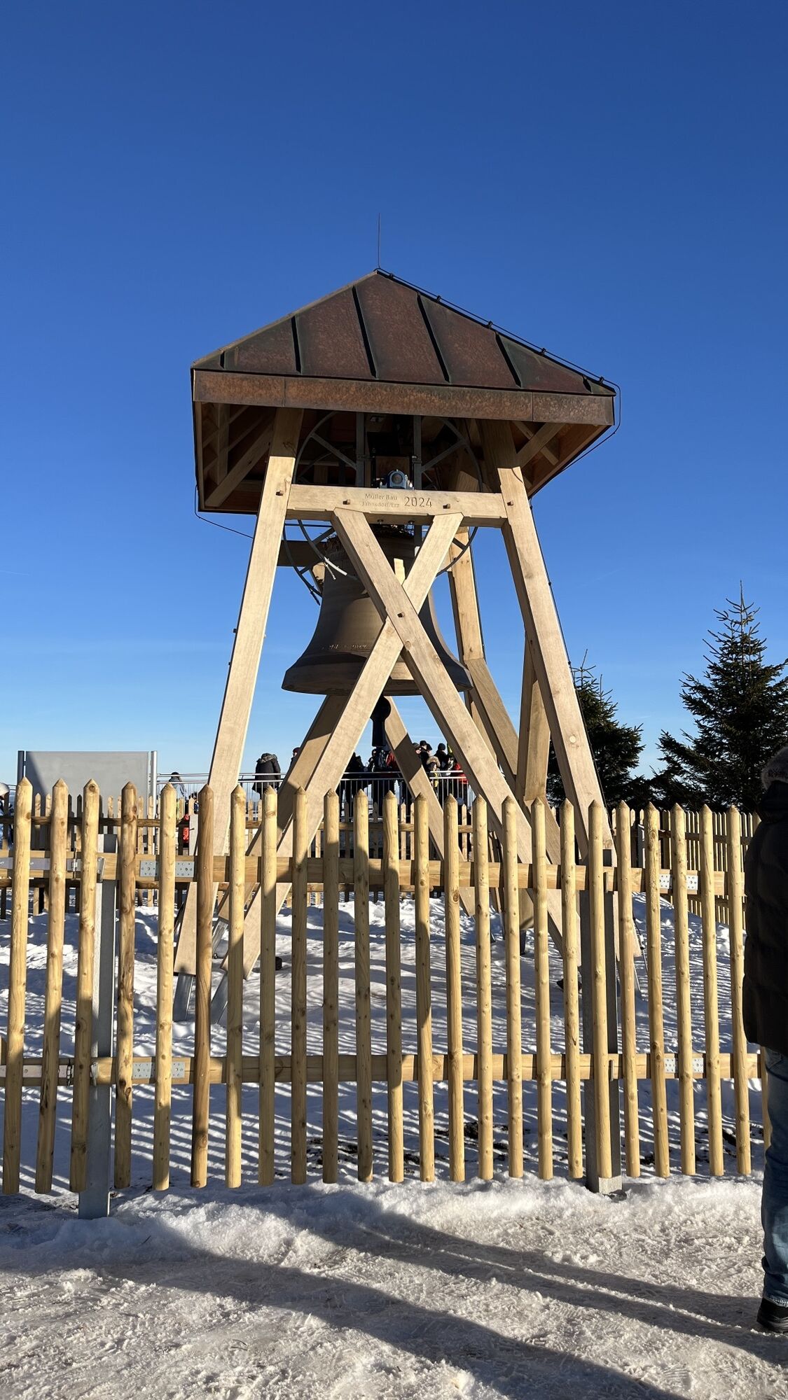
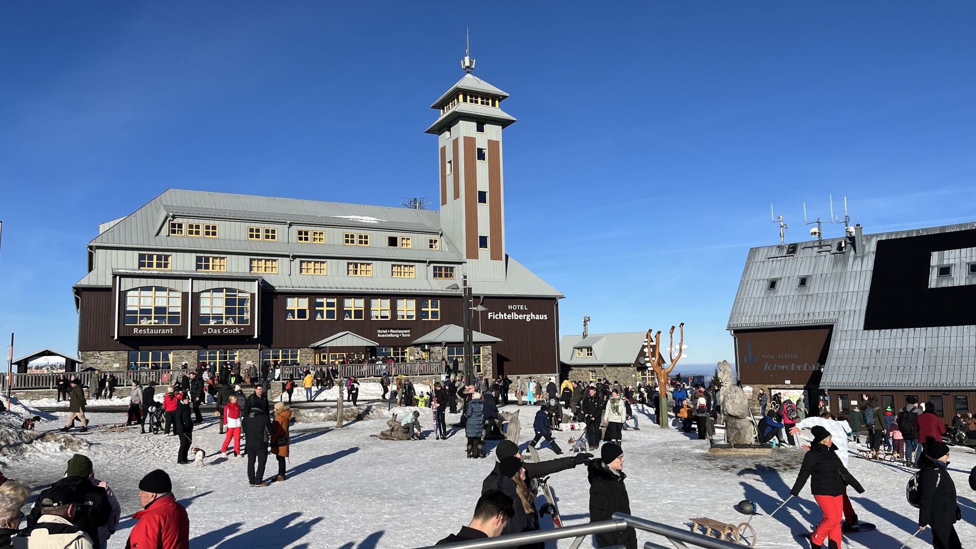
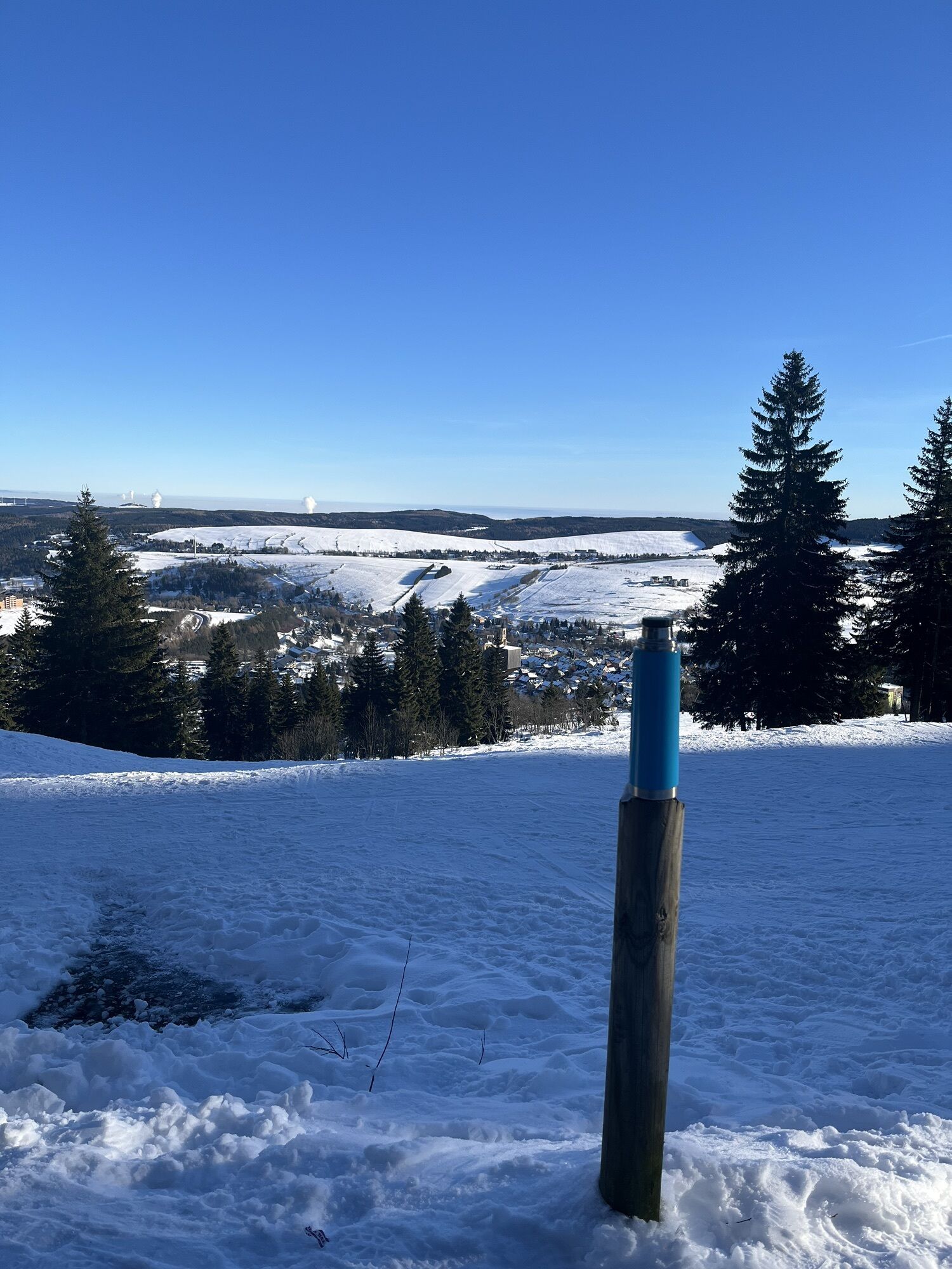
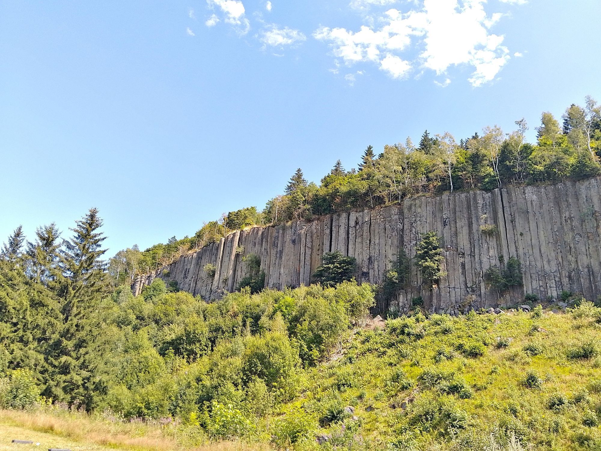
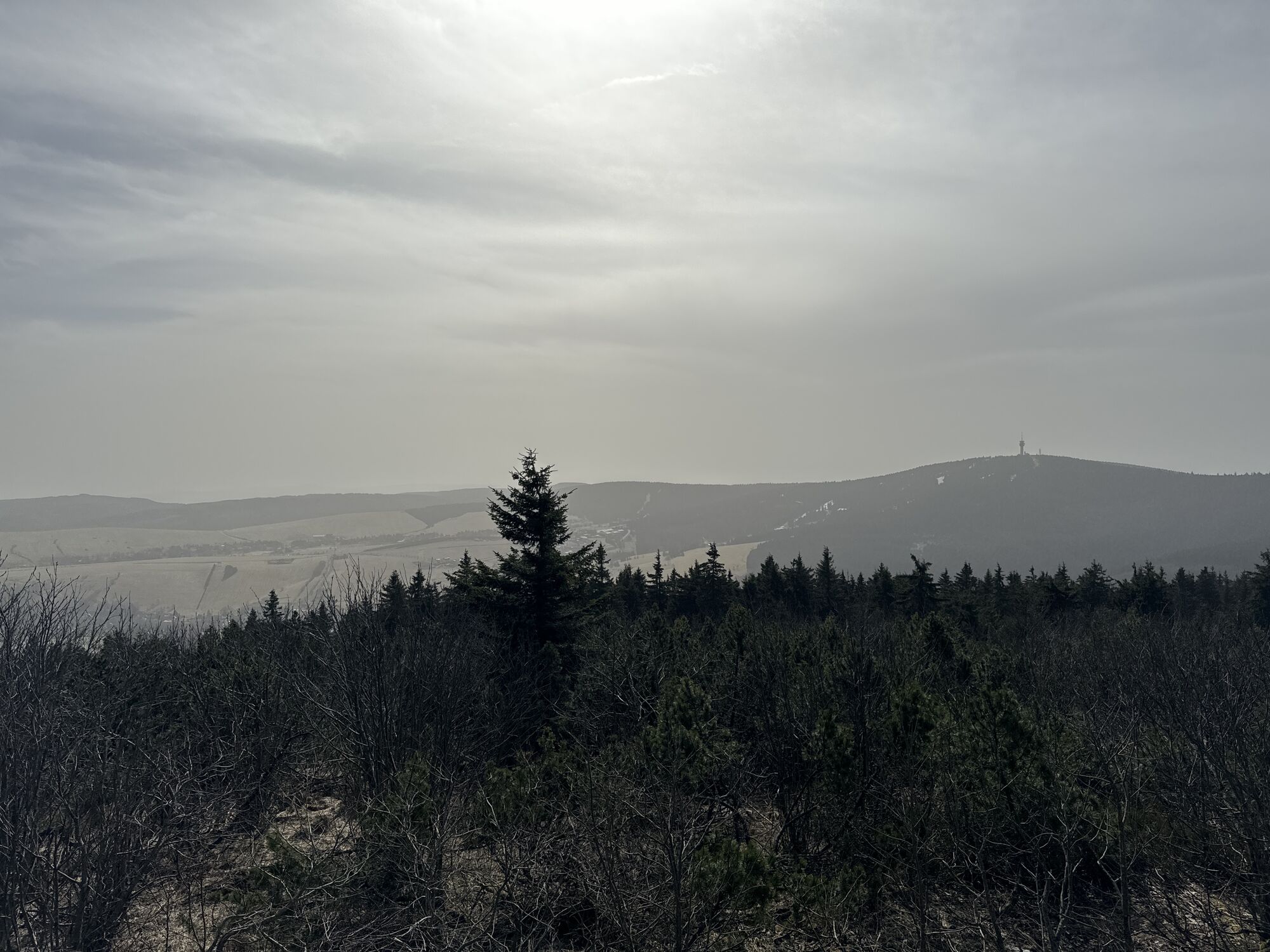
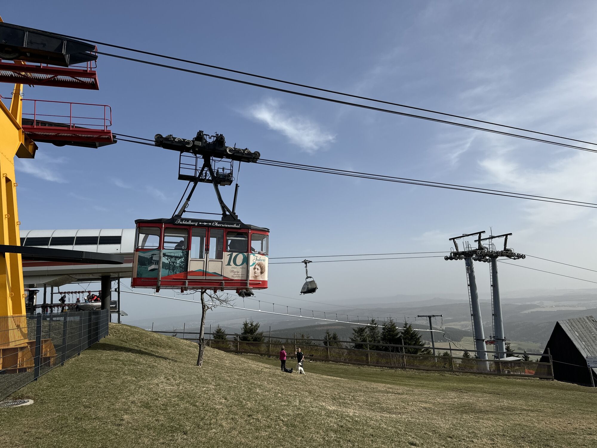

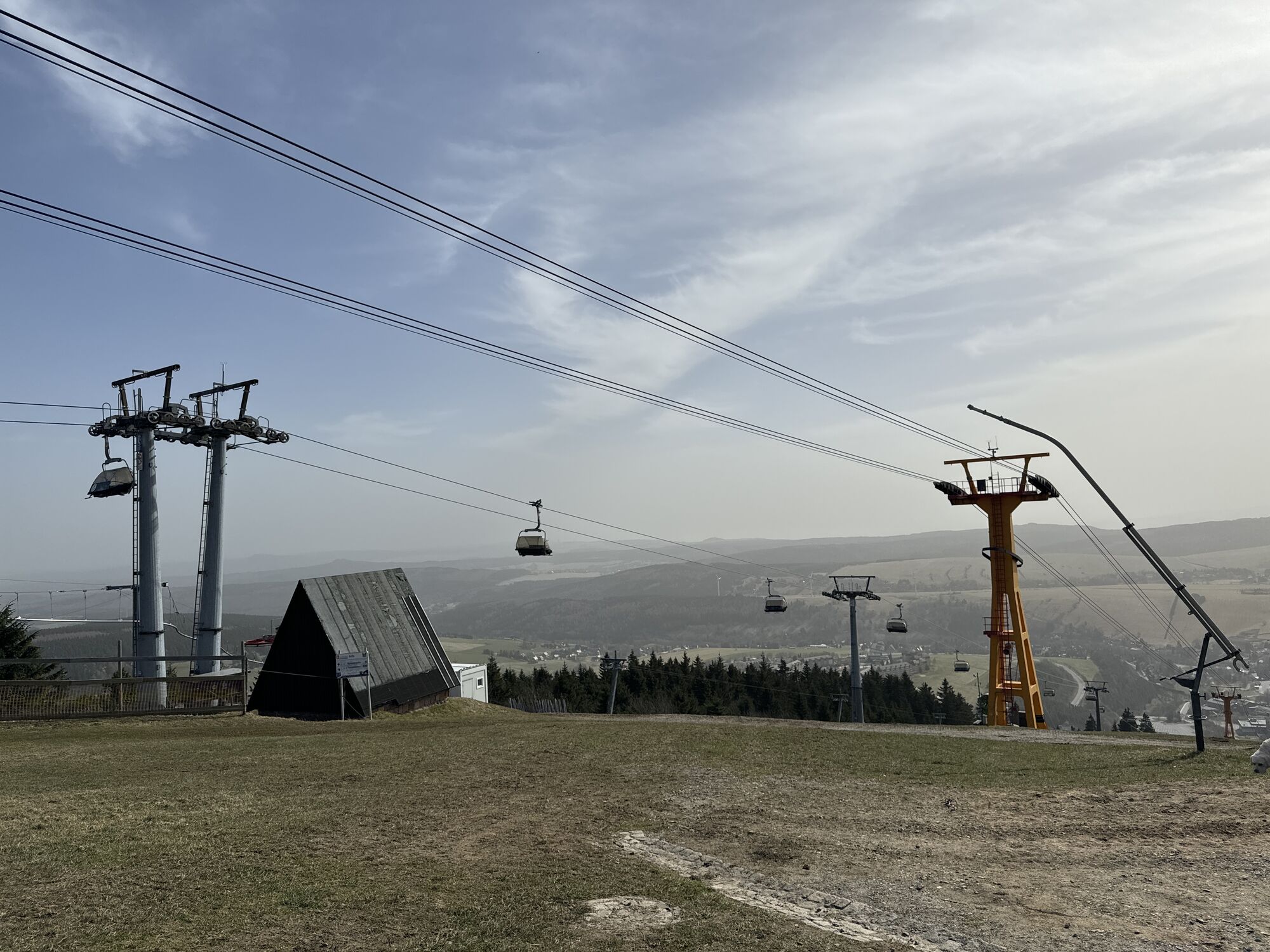
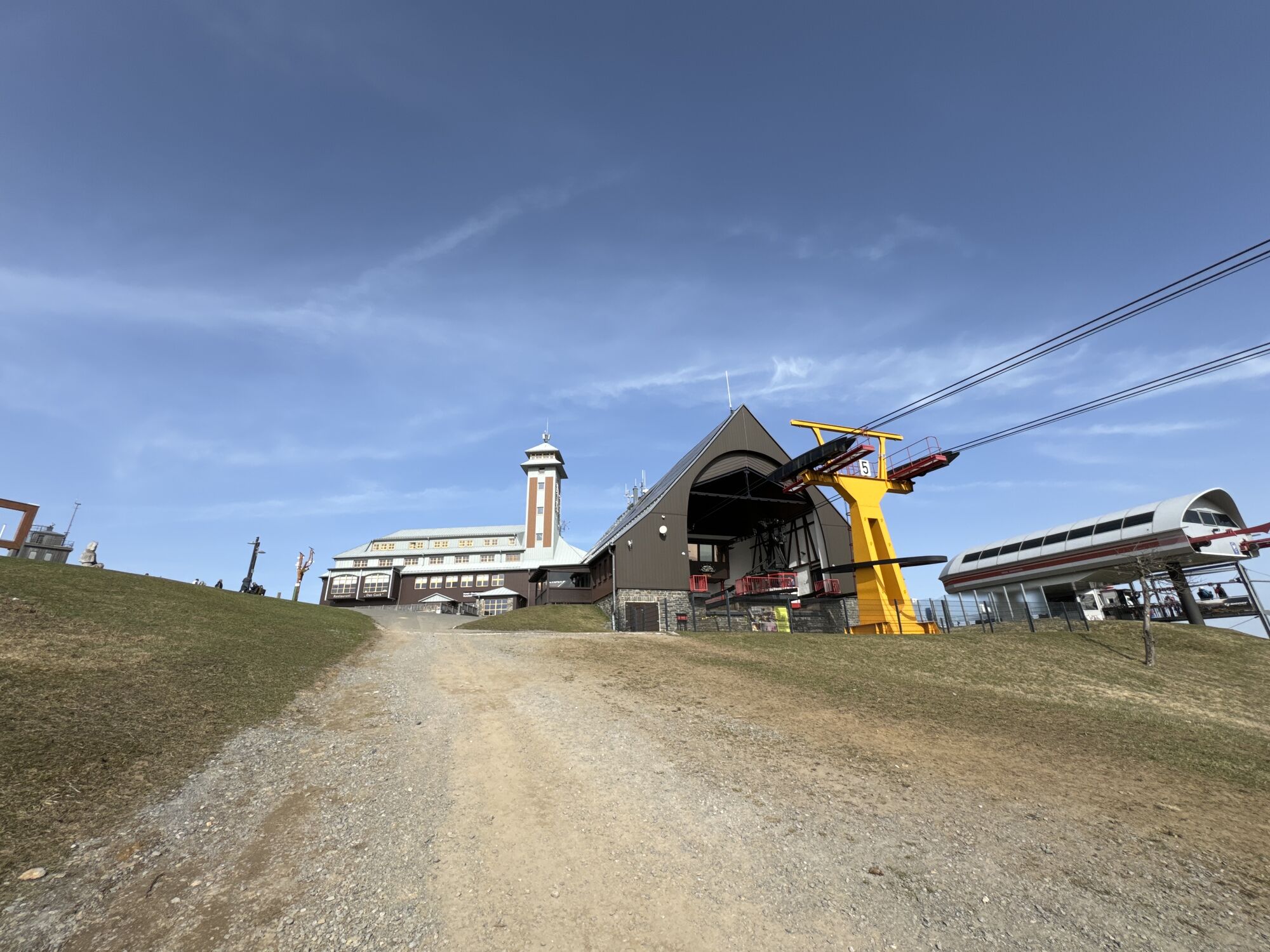
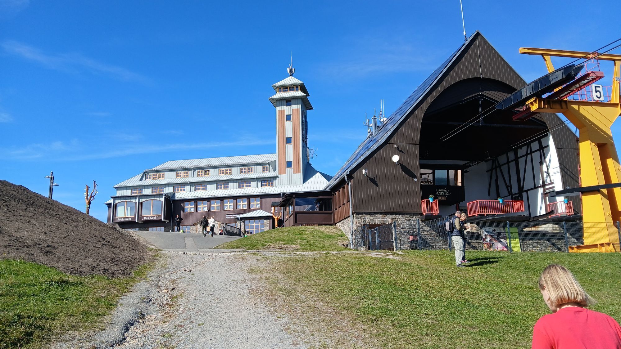
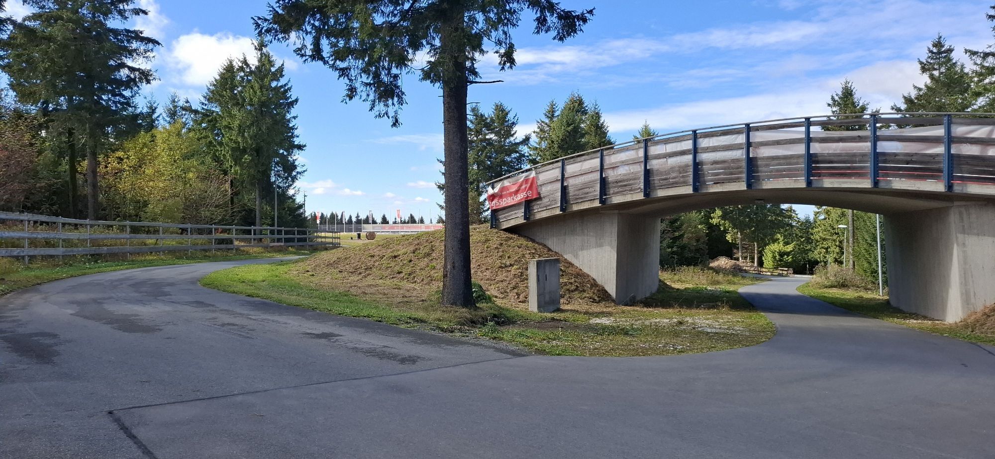
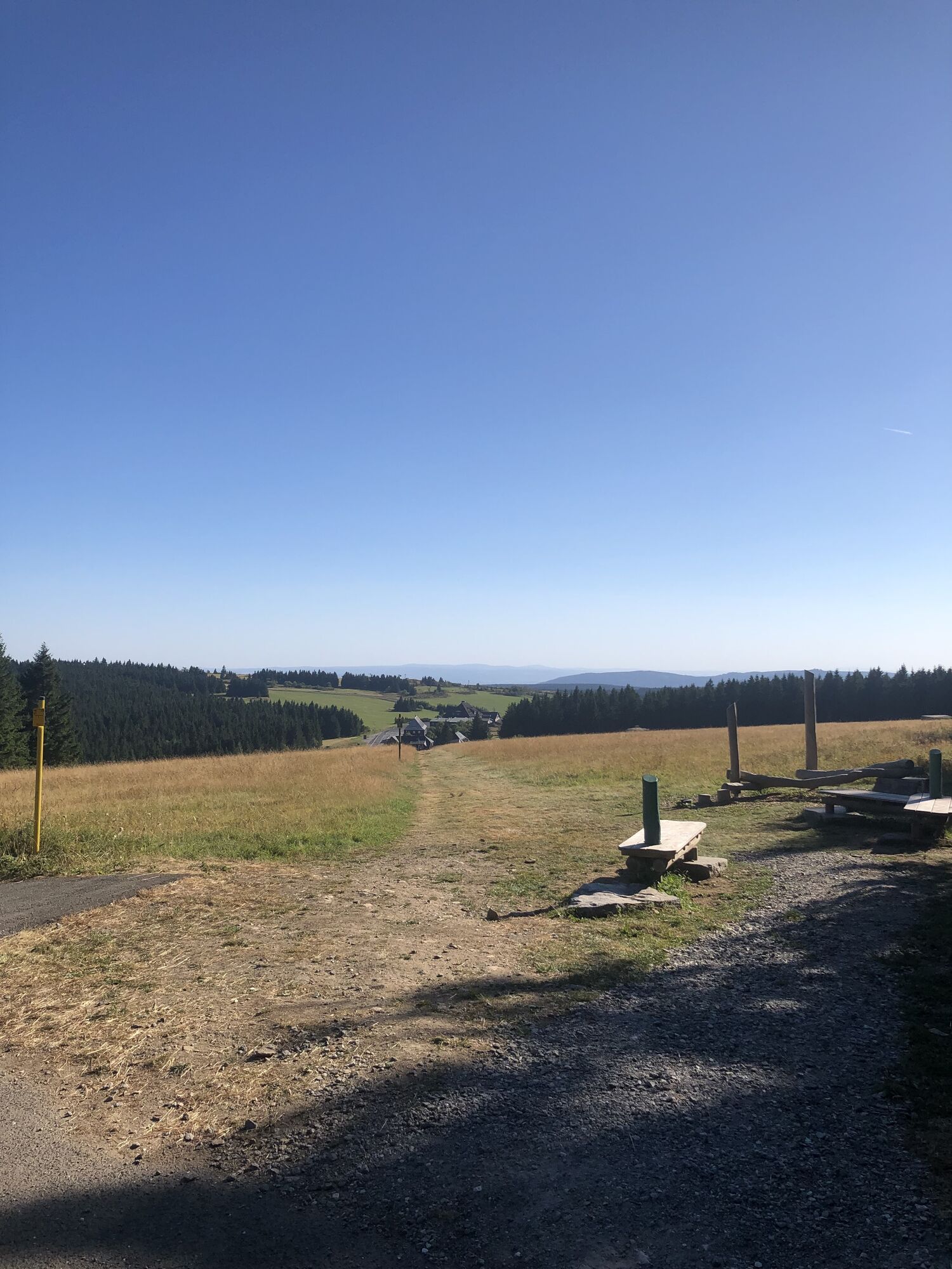
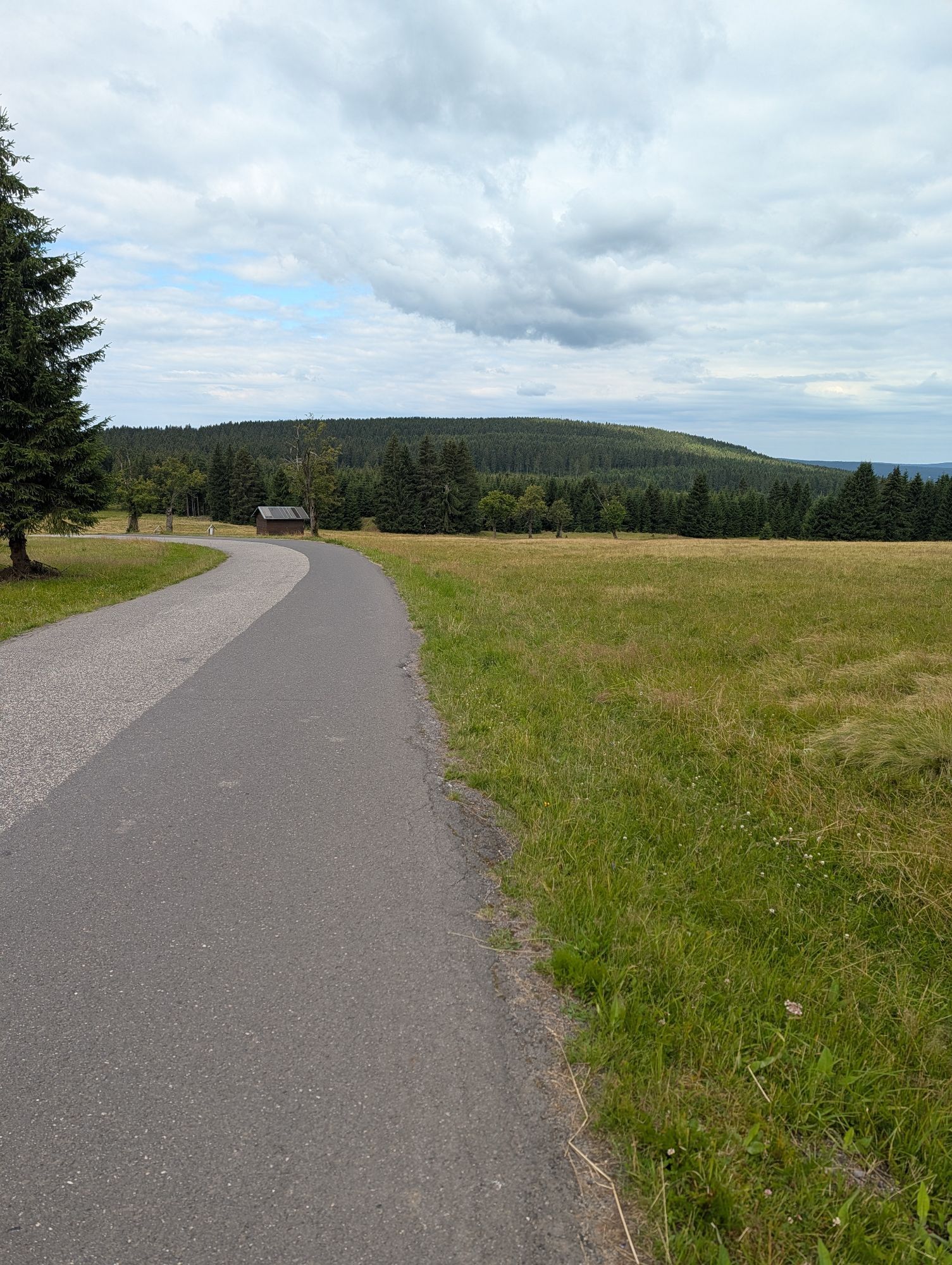
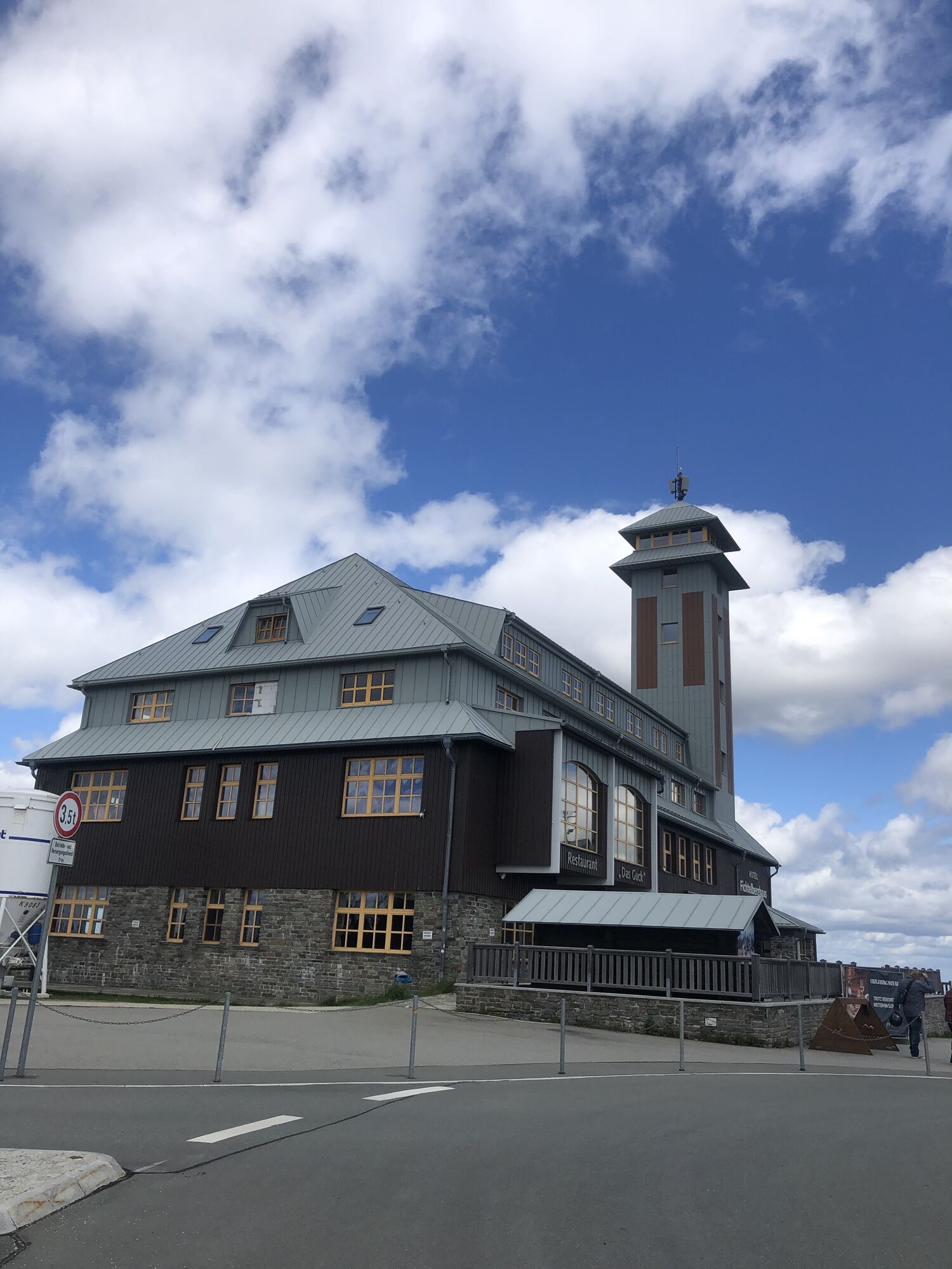
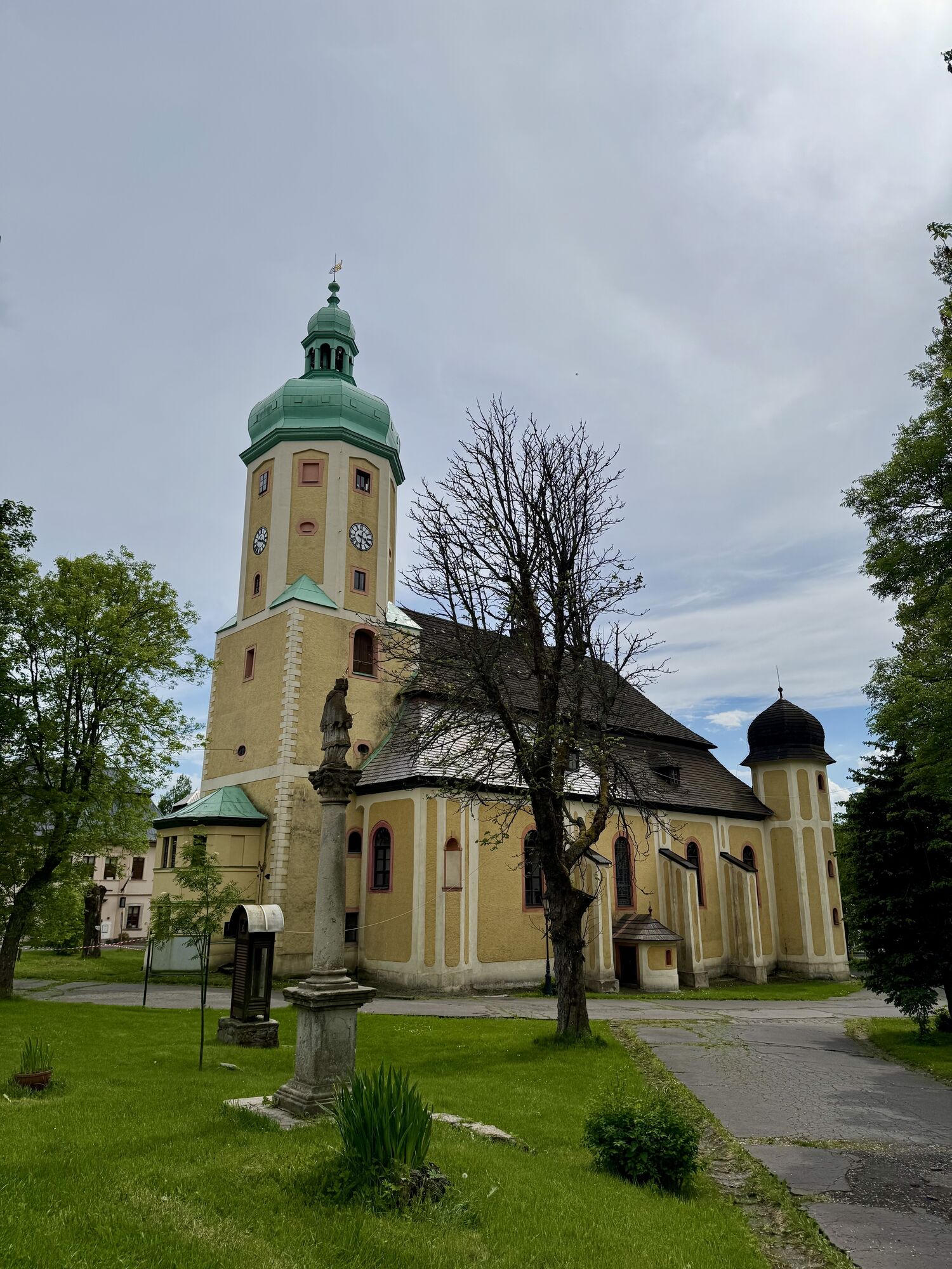
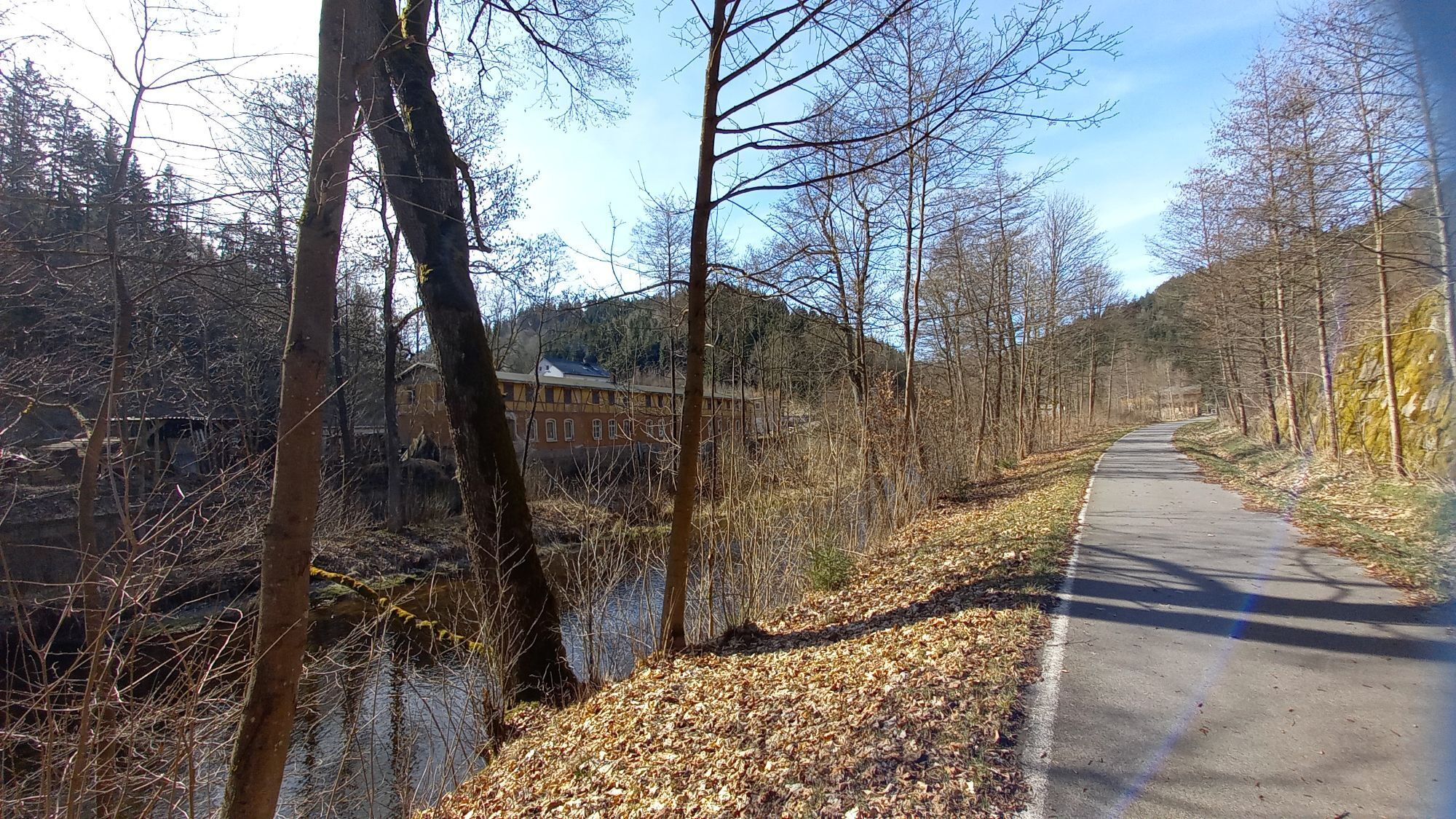

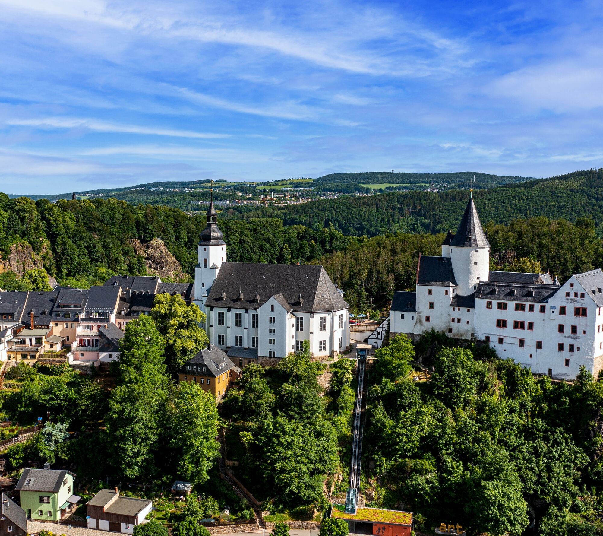

The village is popular because of its steel railroad bridge and the upper reservoir for the Markersbach pumped-storage power station, especially when special trains such as the steam trains or the Erzgebirgische Aussichtsbahn are in operation. On the high-level trail, we can see the peaks of the Ore Mountains and soon the mountain town of Schwarzenberg with its interesting castle. O ver the idyllic Schwarzwasser and across the listed Neuwelt covered wooden bridge, the I-6 leads us to Lauter and the "Alte Laborantenkunst" spirits museum. At the end of the village, it leads us along forest paths to Bockau, the laboratory workers' village with a tradition in the production of medicines and herbal liqueurs, which can be experienced in the "Wurzelbucke". Downhill to the right, we reach the Mulde cycle path, which has been extended to Blauenthal on the old railroad embankment of the former Chemnitz - Aue - Adorf line. At the newly designed cycle path junction, the I-6 continues along the Große Bockau, which is also the main route of the Karlsroute. On the way, we come across Saxony's largest waterfall in Blauenthal. Climbing steadily uphill, we reach the hammer community of Wildenthal and after Oberwildenthal the border crossing "Grenztor". Continuing along the Karlsroute in the Czech Republic, we meet the R23. A short relaxation awaits us downhill to Jeleni, before heading uphill again past Scheffelsberg and ZajeÄi vrch (Rammelsberg 1009 m) to the mountain town of Horní Blatná. And if you like, take the turnoff to the lookout tower on Blatensky vrch (1043 m, + approx. 700 m). Back on the R23, in Myslivni we reach the Christ Child Trail, a child-friendly themed trail with stations to Boží Dar, the birthplace of the local singer Anton Günther. We pass the Neue Welt border crossing and take the I-6/23 through the spa town of Oberwiesenthal to the junction with the Zschopau Valley cycle path. From the headwaters of the Zschopau along the river, it is a leisurely ride downhill via Crottendorf and Walthersdorf to Schlettau at the end of the tour.
Da
Schlettau
4
Spletne kamere s turneje
-
Fichtelberg
-
Skilift Neudorf / Sehmatal
-
Fichtelberg Skihang
-
Klínovec II
-
Klínovec II
-
Blick zum Fichtelberg
-
Blick nach Oberwiesenthal
-
SkiArena Eibenstock Berg
-
SkiArena Eibenstock
-
Kammloipe - Eisernes Tor
-
Kammloipe - Schutzhütte Teichhäusel
-
Fichtelberg Schwebebahn Kurort Oberwiesenthal
-
Annaberg-Buchholz
-
Talstation Fichtelberg
-
Fichtelberg
-
Johanngeorgenstadt Loipenhaus
-
Skiarena Eibenstock Bergstation
-
Bad Schlema Kurhaus
-
Boží Dar
-
Abertamy
-
Abertamy
-
Abertamy
-
Pernink
-
Eibenstock
-
Eibenstock
-
Fichtelberg
-
Oberwiesenthal - Haus am Berg
-
Annaberg-Buchholz
-
Oberwiesenthal

Priljubljeni izleti v okolici
-
Rundwanderung Talsperre Sosa
svetlobaPohodništvo 7.95 km -
5.0
At the Eibenstock dam / Hundshübler circular hiking trail
svetlobaPohodništvo 4.61 km -
Stoneman Miriquidi 162 kilometers of pure mountain bike emotion
težkoMountainbike 168.0 km -
2.0
Sosa Talsperre - Blauenthaler Wasserfall
težkoPohodništvo 9.03 km -
Segwayfahrt bei Eibenstock
svetlobaMountainbike 15.2 km -
5.0
Day route Ridge path 25 From Auersberg to the Carlsfeld dam and back
težkoPohodništvo 20.4 km -
4.5
Small Crane Lake
srednjaPohodništvo 8.11 km -
3.0
At the Eibenstock reservoir / Marienweg
srednjaPohodništvo 8.64 km -
30 km - Loop of the Three-Reservoir Marathon Eibenstock
srednjaMountainbike 33.4 km -
50 km - loop of the Drei-Talsperren-Marathon Eibenstock
težkoMountainbike 50.3 km

Pohodništvo in sledenje


Ne zamudite ponudb in navdiha za naslednje počitnice
Vaš e-poštni naslov je bil dodan na poštni seznam.





