







RR ERZ T11 From Olbernhau to the center of the cycling region

Stopnja težavnosti: 4
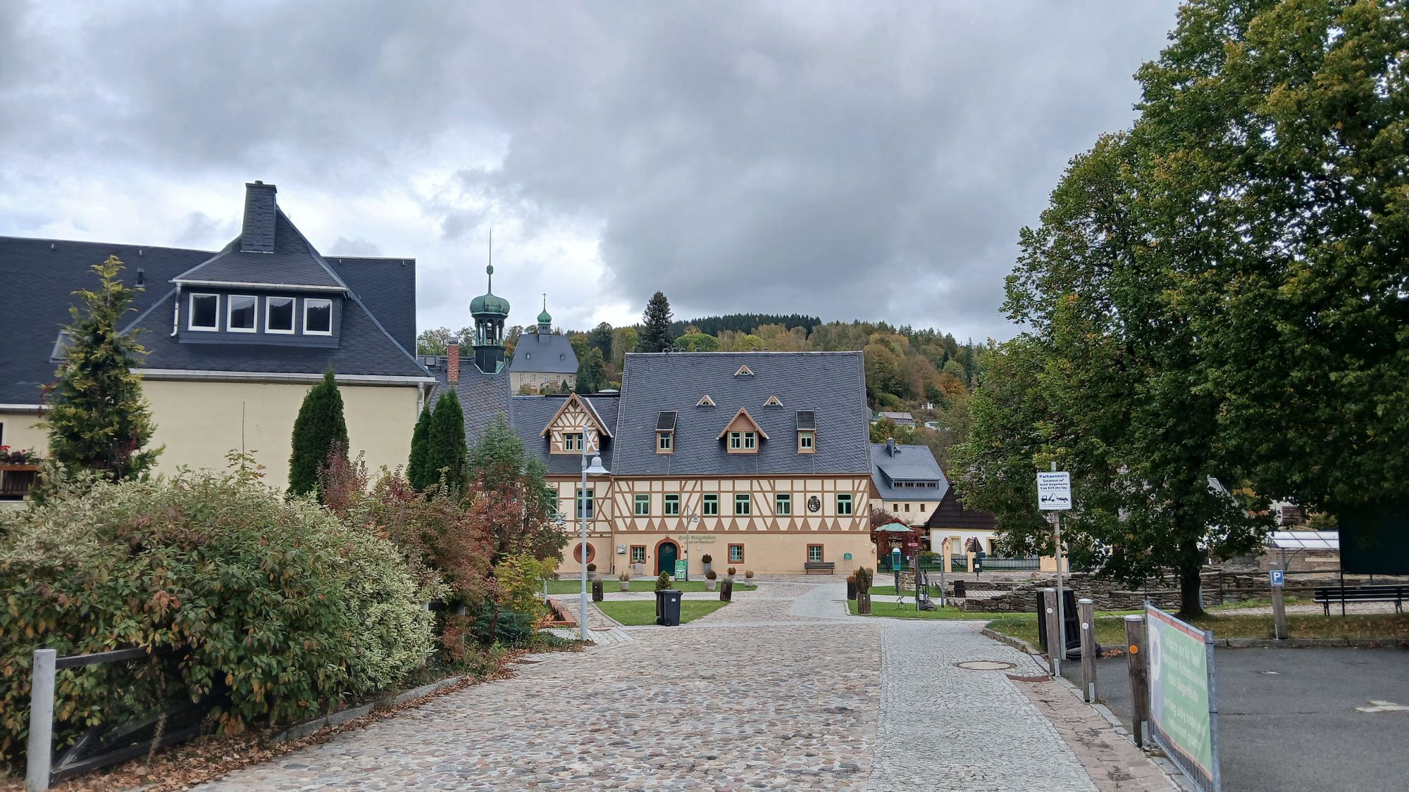
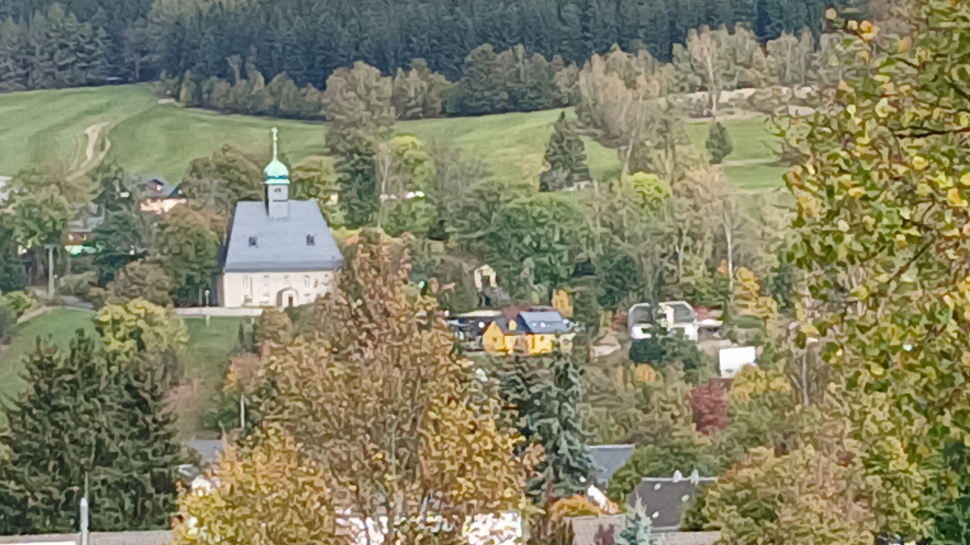

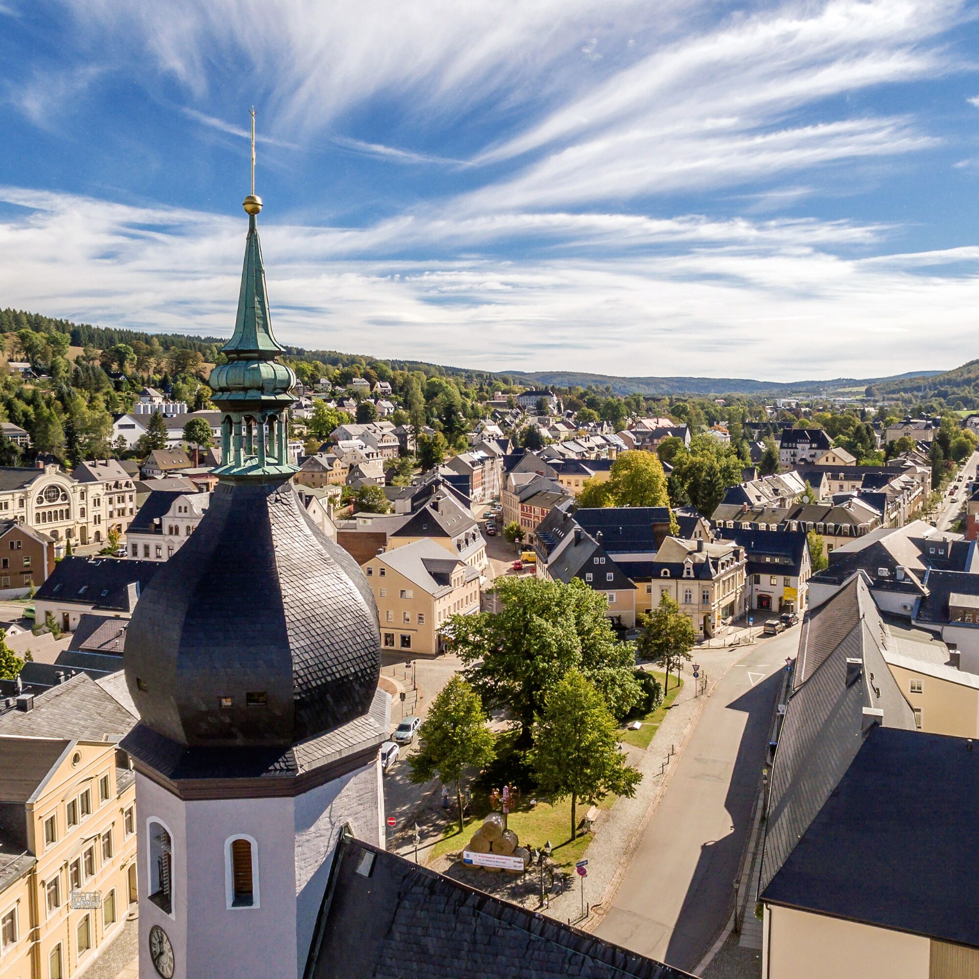
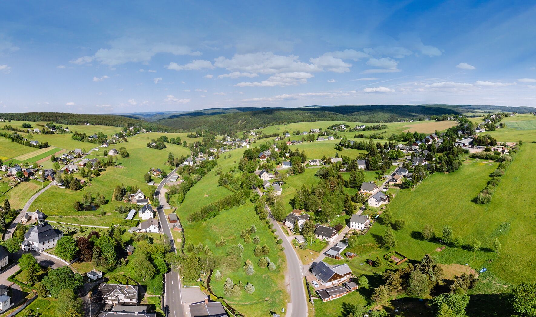
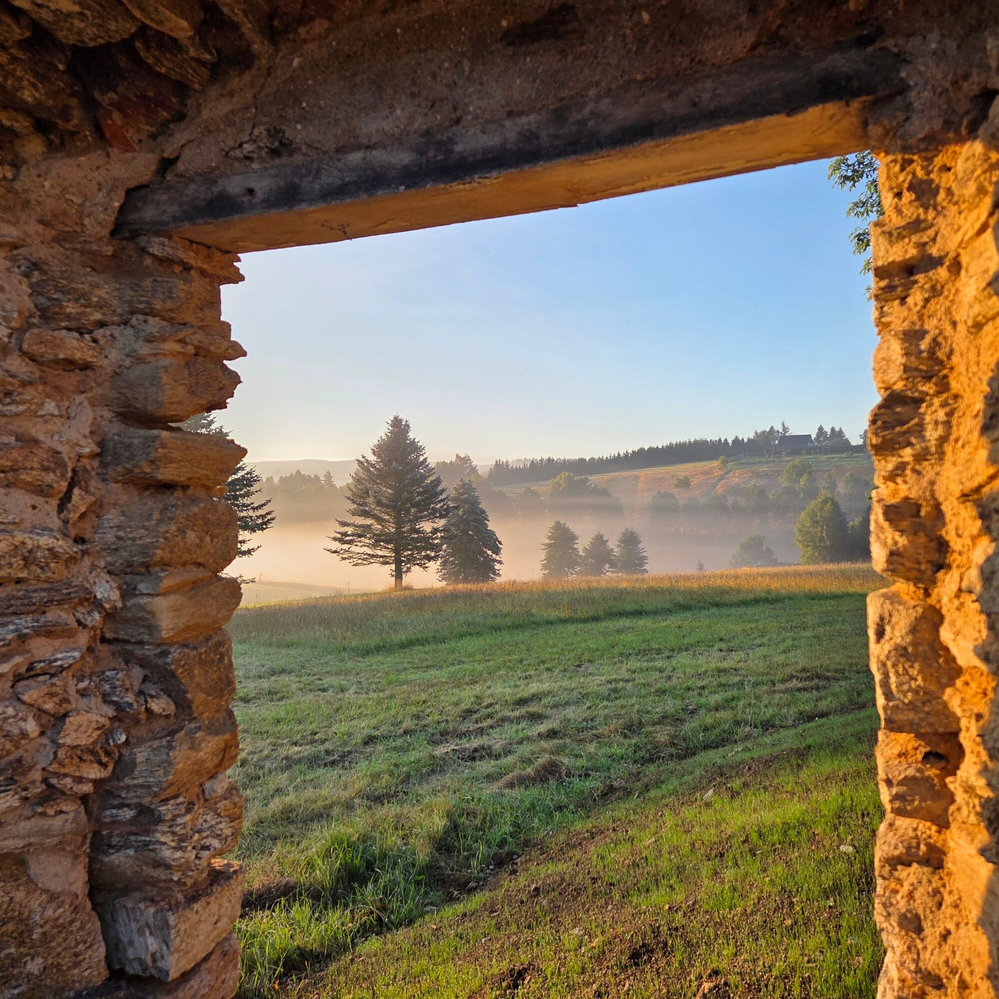
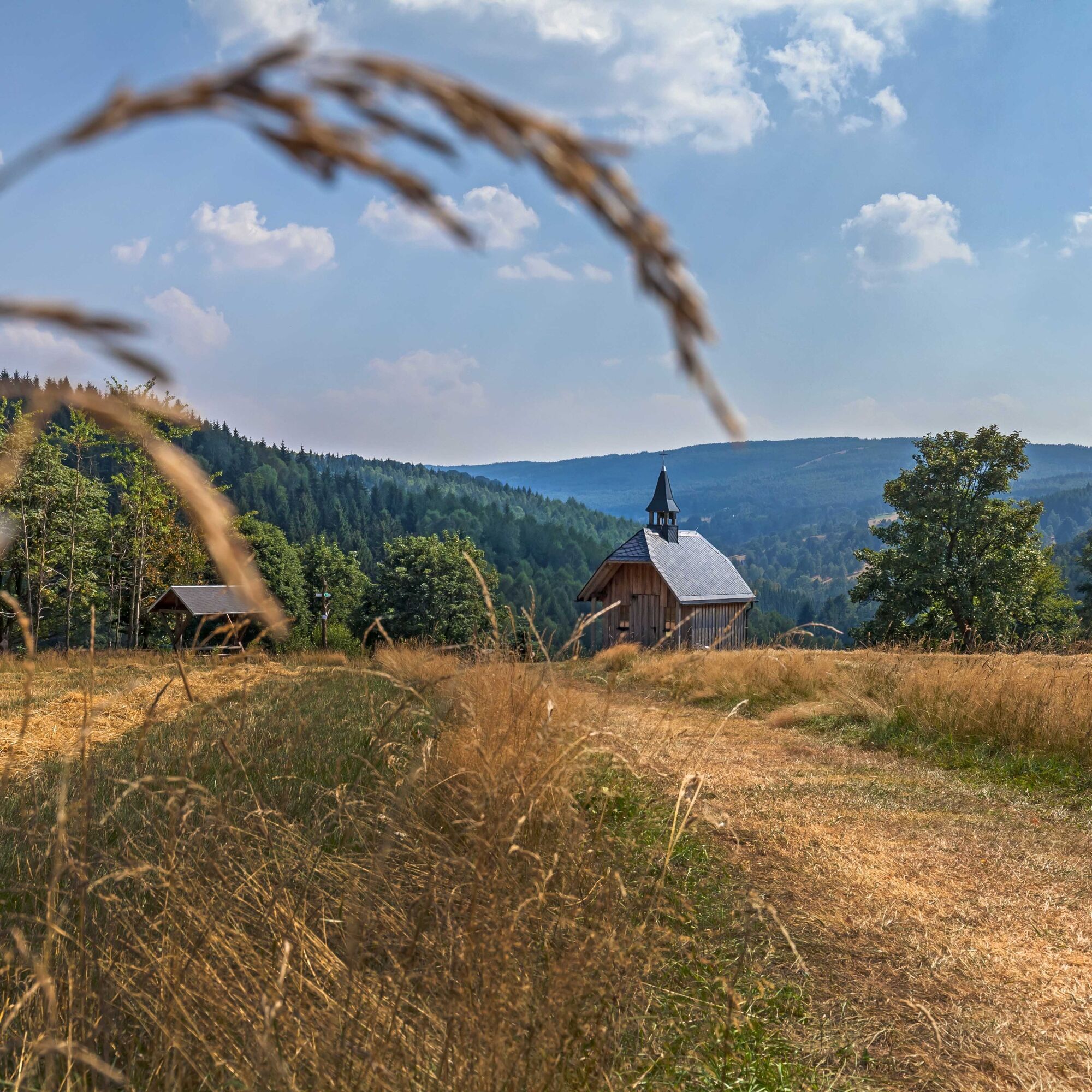

From the Saigerhütten area, we start along the I-6 in the direction of Rübenau via the Dörfel industrial estate until the route takes us left into the beech forest. On the Königsweg (King's Path), we climb a considerable amount of altitude over serpentines until we turn left at a junction onto the I-6/23 towards Rübenau. We soon have the largest scattered settlement in Saxony and the Erzgebirge ridge in our field of vision. Cycle east along the edge of the forest around Rübenau and uphill to the border crossing and the small village of Kalek. The R23 leads uphill again with a view of the Church of St. Wenceslas from 1702, where the ironworks used to be located. We cycle through Czech woodland via Rudolice v Horach to Malý Háj with its church at the highest point of the route. Then we descend until we turn left onto the I-6/23 to Hora Svaté Kateřiny. A detour to the "Fortuna Stolln Adventure Mine" in Deutschkatharinenberg could be made in between; the border crossing and visitor mine are only about 500 m away. Close to the border on the Czech side, we reach the start of the tour via Brandov and cross the border to Olbernhau.
Olbernhau/Rothenthaler Straße at the hiking parking lot, Rübenau, Hora Svaté Kateřiny
4
Priljubljeni izleti v okolici
- 4.8
Katzenstein - Schwarzwassertal - Katzenstein
srednjaPohodništvo 15.5 km - 5.0
First German bell hiking trail
težkoPohodništvo 23.1 km In der Mitte thront der Schwartenberg - No 7 -
srednjaPohodništvo 8.64 km- 3.0
Day tour Kammweg around Neuhausen and the Schwartenberg
Pohodništvo 12.5 km RR ERZ T10 Through the Schweinitz Valley to the toy village of Seiffen
srednjaKolesarjenje 32.4 km- 5.0
Ore Mountain Cycle Main Route Krusnohorska Magistrala R23 Jeleni-Decin
srednjaKolesarjenje 171.0 km - 3.5
Neuhausen/Erzgebirge nach Seiffen über den Schwartenberg
svetlobaPohodništvo 14.3 km - 5.0
Blockline Loop 3: Holzhau " Kreuztanne " Neuhausen " Seiffen " Holzhau
težkoMountainbike 60.1 km Neuhausen Panorama Trail -No 9-
srednjaPohodništvo 10.1 kmIn the valley of the Black Pockau - short tour
Pohodništvo 6.25 km
Pohodništvo in sledenje


Ne zamudite ponudb in navdiha za naslednje počitnice
Vaš e-poštni naslov je bil dodan na poštni seznam.





