


Bike tour on the D4/Middle Land Route: From Neustadt i.Sa. to Zittau
On the Mittelland Route from Neustadt to Zittau, cycling adventurers discover a picturesque landscape full of fascinating stories. The almost 85 km² town of Neustadt is idyllically situated in the Neustadt...
On the Mittelland Route from Neustadt to Zittau, cycling adventurers discover a picturesque landscape full of fascinating stories. The almost 85 km² town of Neustadt is idyllically situated in the Neustadt Valley between Ungerberg and Hohwald, at the interface between the Elbe Sandstone Mountains and the Lusatian Mountains. Already mentioned in 1333 as a gold mining town, Neustadt has a rich history to tell. Miners from Freiberg founded the settlement, which did not become famous for large gold deposits, but became increasingly important due to the strategic intersection of two important trade routes, the Salt Route and the Pilgrims' Route.
During a relaxed walk through the town, there is much to discover, such as the impressive 18th-century town hall, the Electoral Saxon Post Office Column and the historic Jacobi Church from 1884. For those interested in history, the town museum in the old malt house is an absolute must, where exciting facts about the town's history await you. The museum also offers evening events and temporary exhibitions to round off the cultural programme.
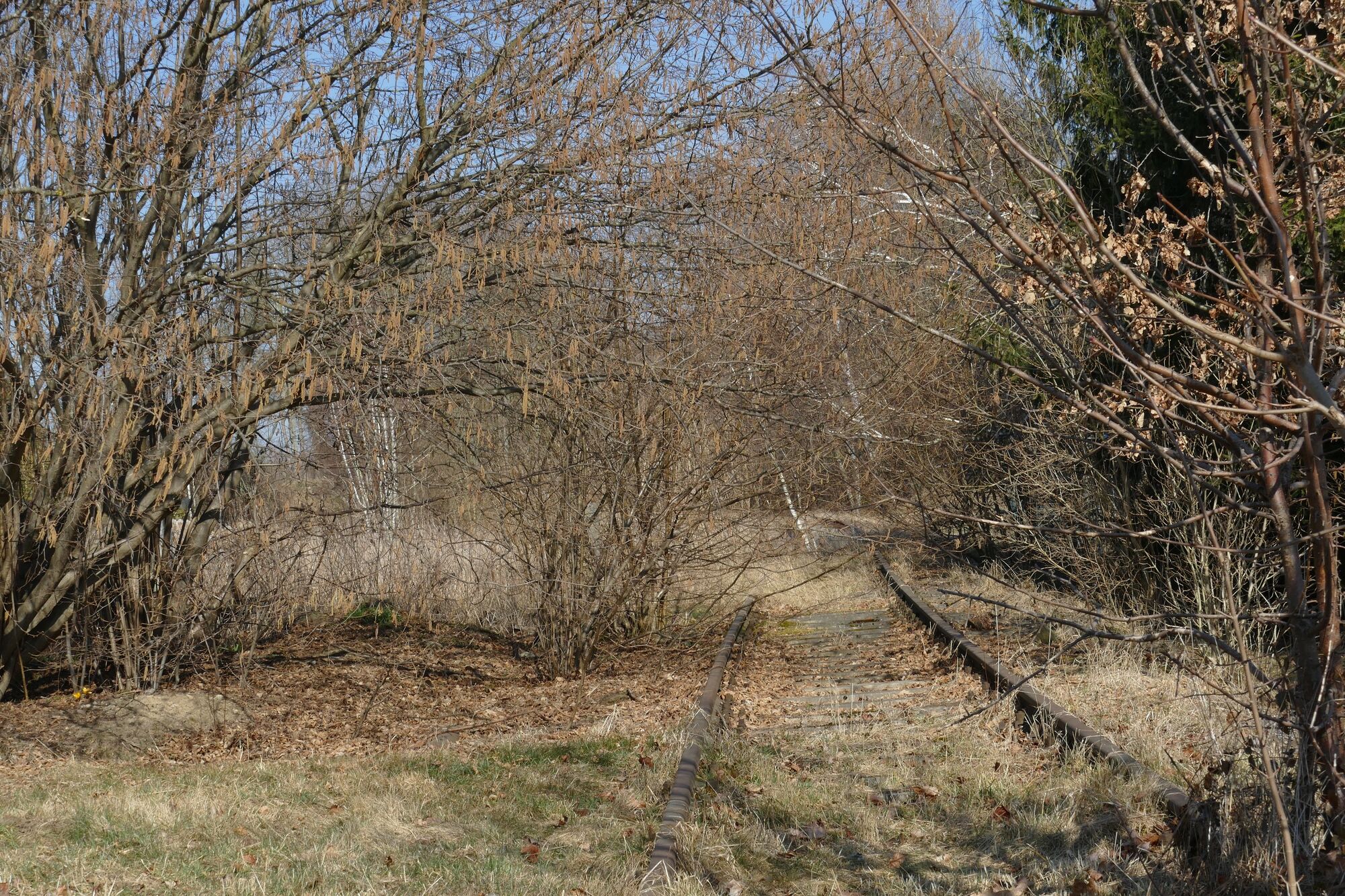
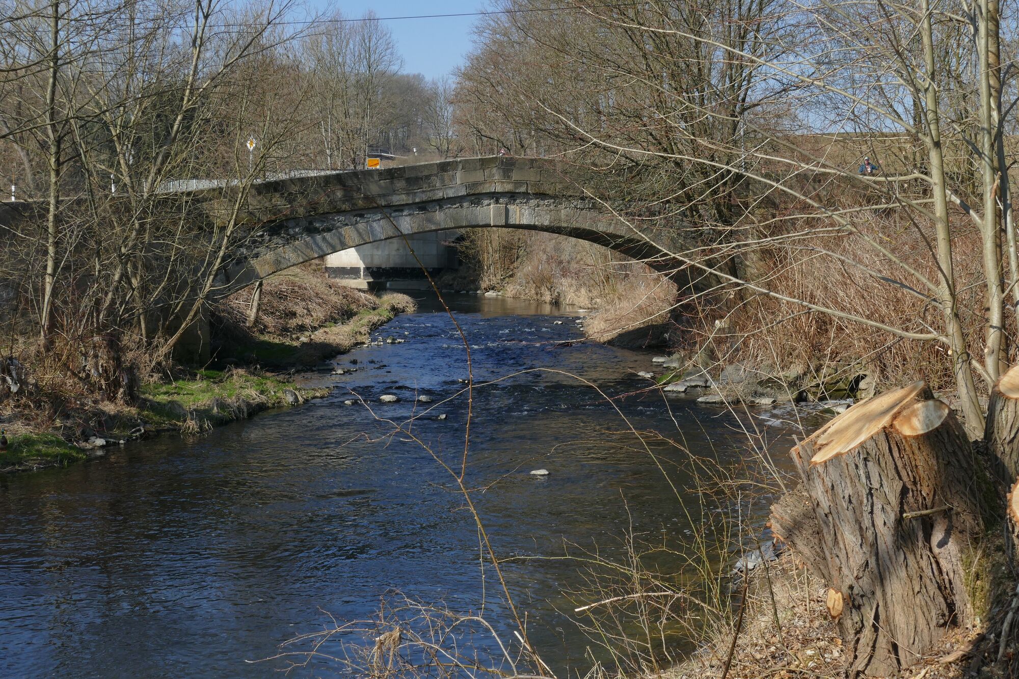
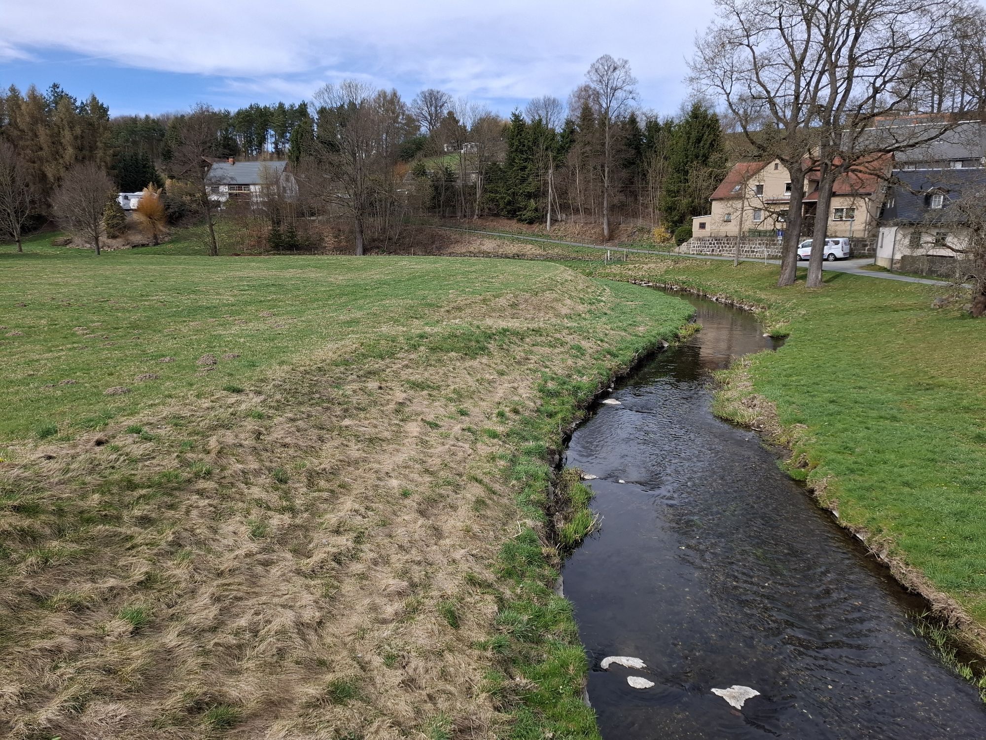
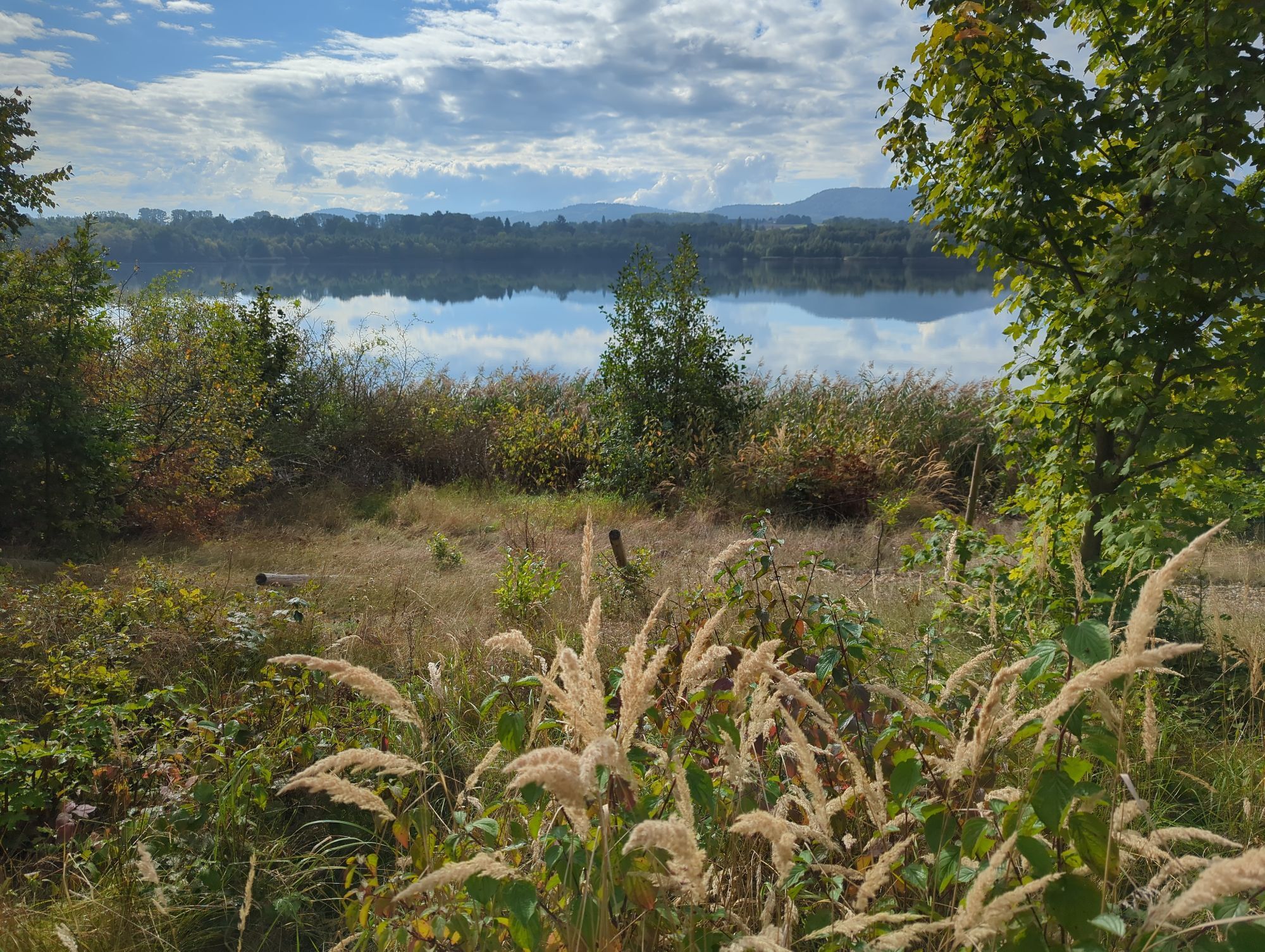
The route continues via Berthelsdorf into the magnificent scenery of Lusatia. Past the Valtengrund granodiorite open-cast mine and the Grenzland dolerite open-cast mine, it leads to Neukirch/Lausitz. On the way, you will pass through charming towns such as Ringenhain, Weifa, Schirgiswalde and finally Sohland an der Spree. The half-timbered houses, a unique combination of solid, half-timbered and log construction, characterise the image of this region. In Ebersbach you will also find one of the three Spree springs. Again and again, the route approaches the border and finally leads you through Neusalza-Spremberg, Eibau and Oderwitz. The latter is known as a windmill and weather village, with the "Wetterkabinett" meteorology centre and three impressive trestle windmills.
The Mittelland Route finally ends in the town of Zittau, which extends over approx. 67 km² at the foot of the Zittau Mountains. Here there are numerous sights to discover, such as the historic salt house dating from 1511, the impressive town hall from 1840-1845 and the charming artists' quarter "Mandauer Glanz". Also worthy of special mention is the Stadtbad, built in 1812, which is now the oldest municipal swimming pool still in operation in Germany. The city of Zittau invites you to linger and rewards cycling explorers with a touch of nostalgia and cultural diversity.
Priljubljeni izleti v okolici
- 5,0
Löbau, Eisener Turm
srednjaPohodništvo 7,17 km Oberlausitzer Bergweg - Sagenhafte Weitsichten!
srednjaPohodništvo 128,2 kmBarrierefreie Route rund um Sohland a.d. Spree
svetlobaPohodništvo 3,28 kmBarrierefreie Route durch Herrnhut
srednjaPohodništvo 4,23 kmOderwitzer Route entlang der Umgebindehäuser
svetlobaPohodništvo 17,5 kmStauseetour Sohland a.d. Spree
srednjaKolesarjenje 11,4 kmRundweg um Wehrsdorf und Sohland a.d. Spree
srednjaPohodništvo 13,7 kmNaturlehrpfad Taubenberg - Taubenheim/Spree
srednjaPohodništvo 5,33 kmSpaziergang entlang der Oberlausitzer Umgebindehausstraße in Ebersbach-Neugersdorf; Tour 2
Pohodništvo 3,99 kmSpaziergang entlang der Oberlausitzer Umgebindehausstraße in Ebersbach-Neugersdorf; Tour 1
Pohodništvo 2,88 km
Pohodništvo in sledenje


Ne zamudite ponudb in navdiha za naslednje počitnice
Vaš e-poštni naslov je bil dodan na poštni seznam.