







Bike route through the Drömling
Stopnja težavnosti: 4
During this bike route, the participant gets to know the different "faces" of the Drömling, from the low moor with alder carr forest to the cultivable rimpauschen moor dyke culture. Along the route, several...
During this bike route, the participant gets to know the different "faces" of the Drömling, from the low moor with alder carr forest to the cultivable rimpauschen moor dyke culture. Along the route, several observation towers invite you to stop and rest. The German-German border history can also be recalled at various points.
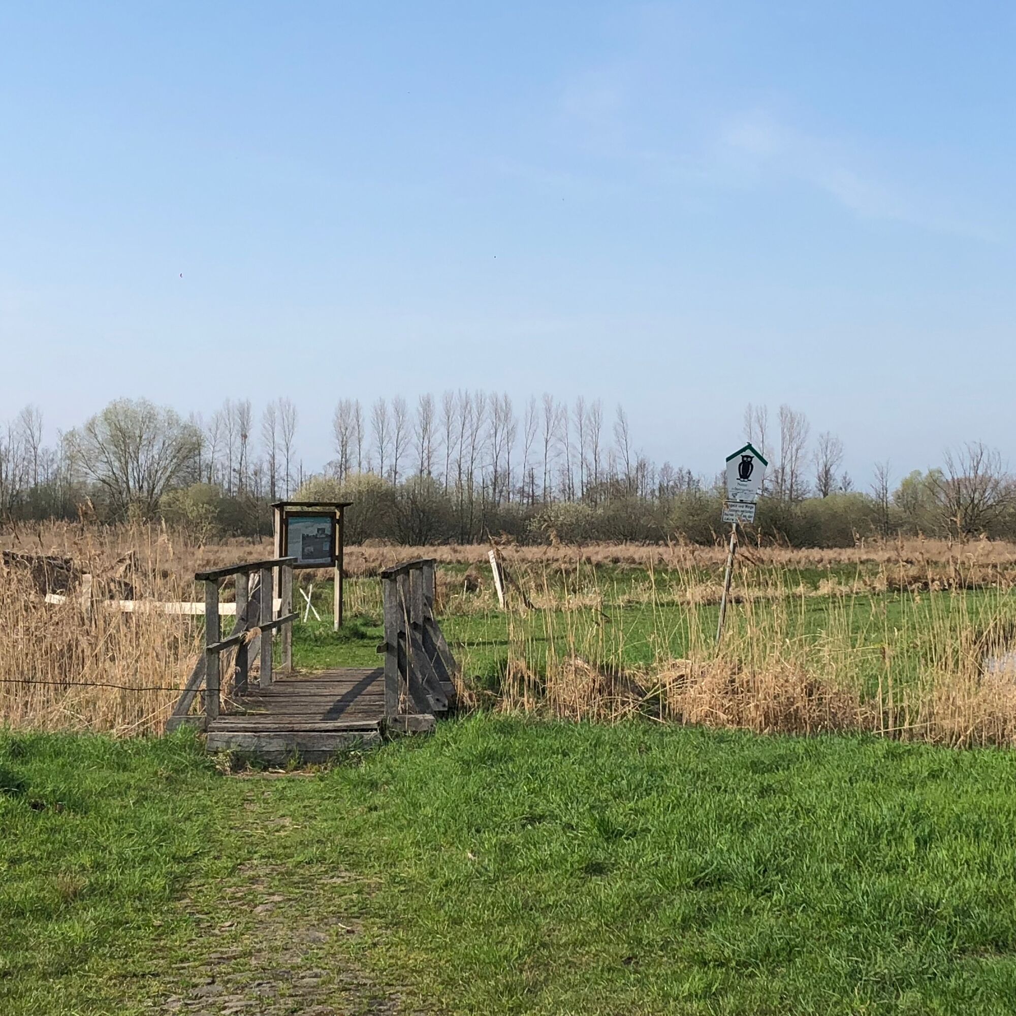
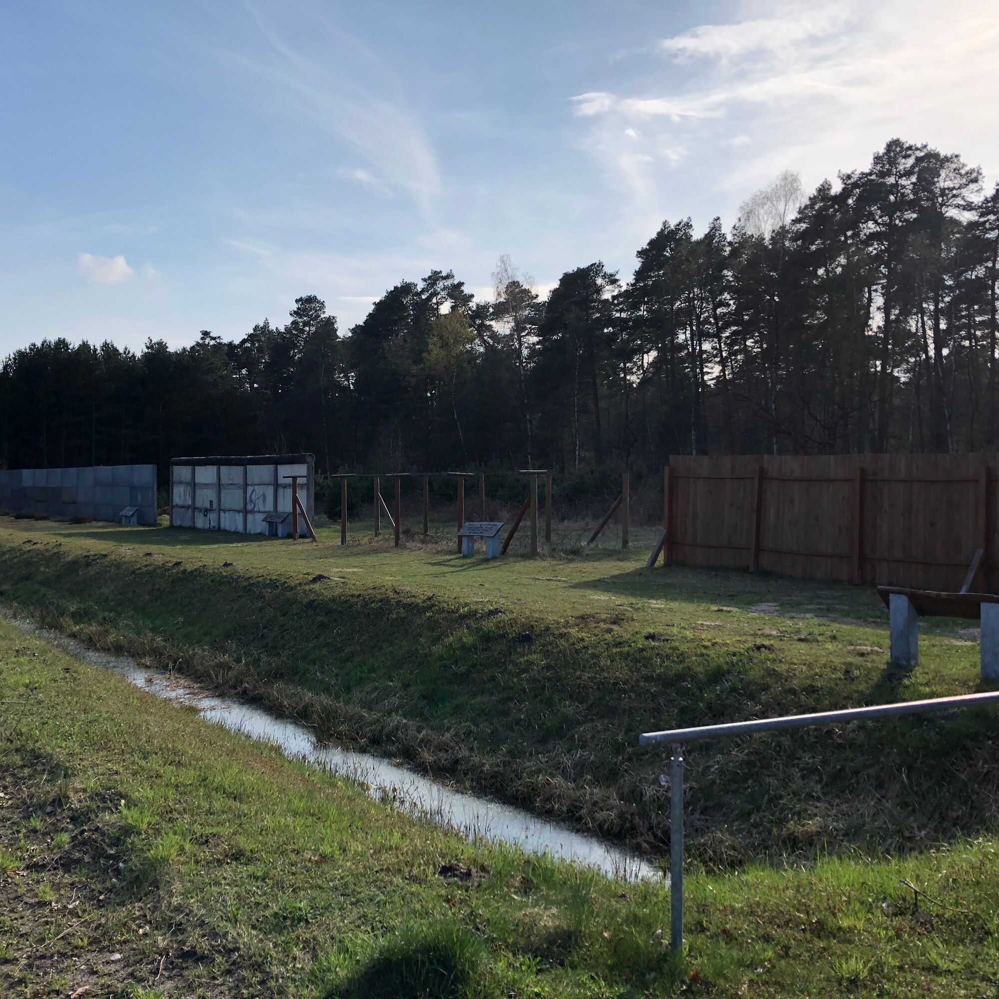
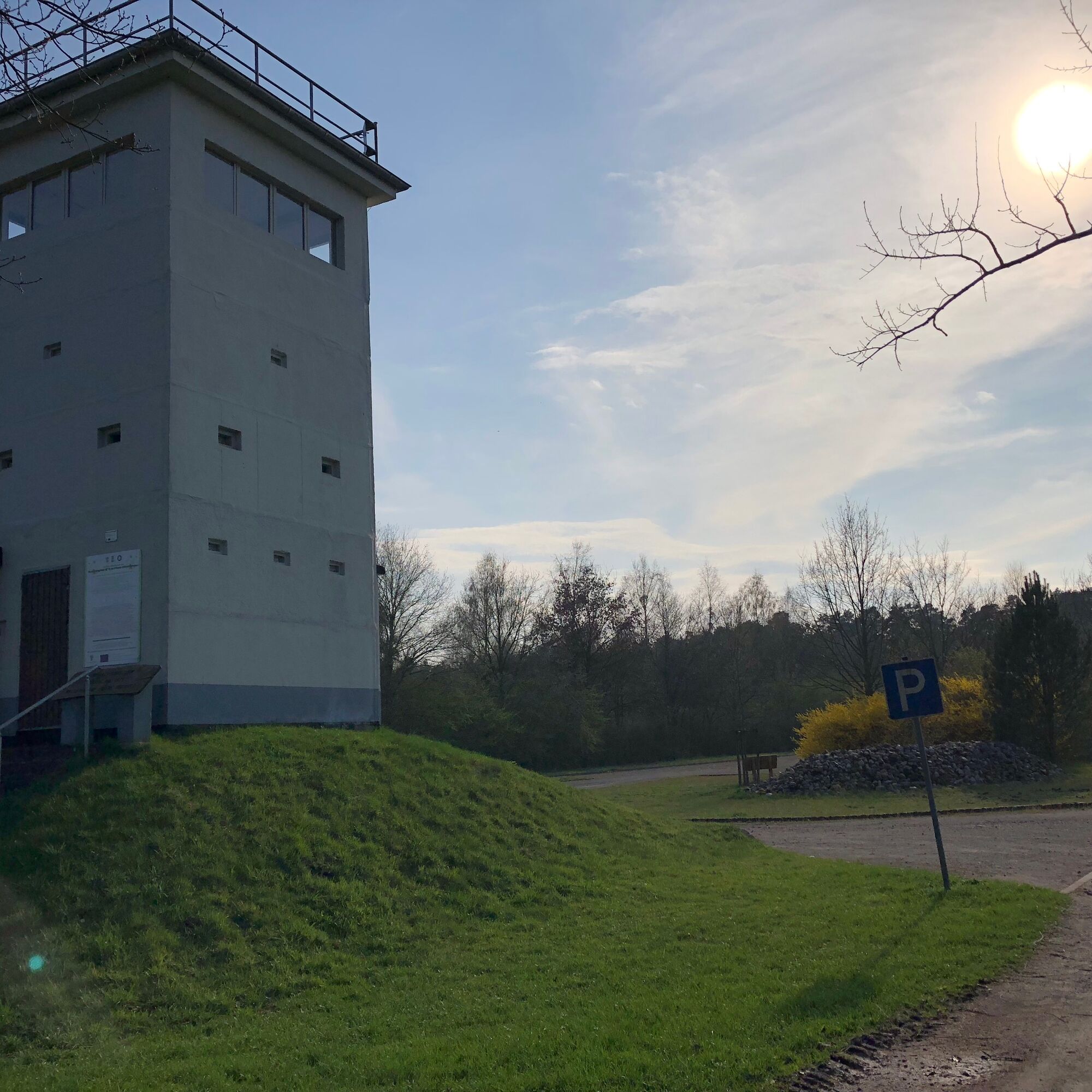
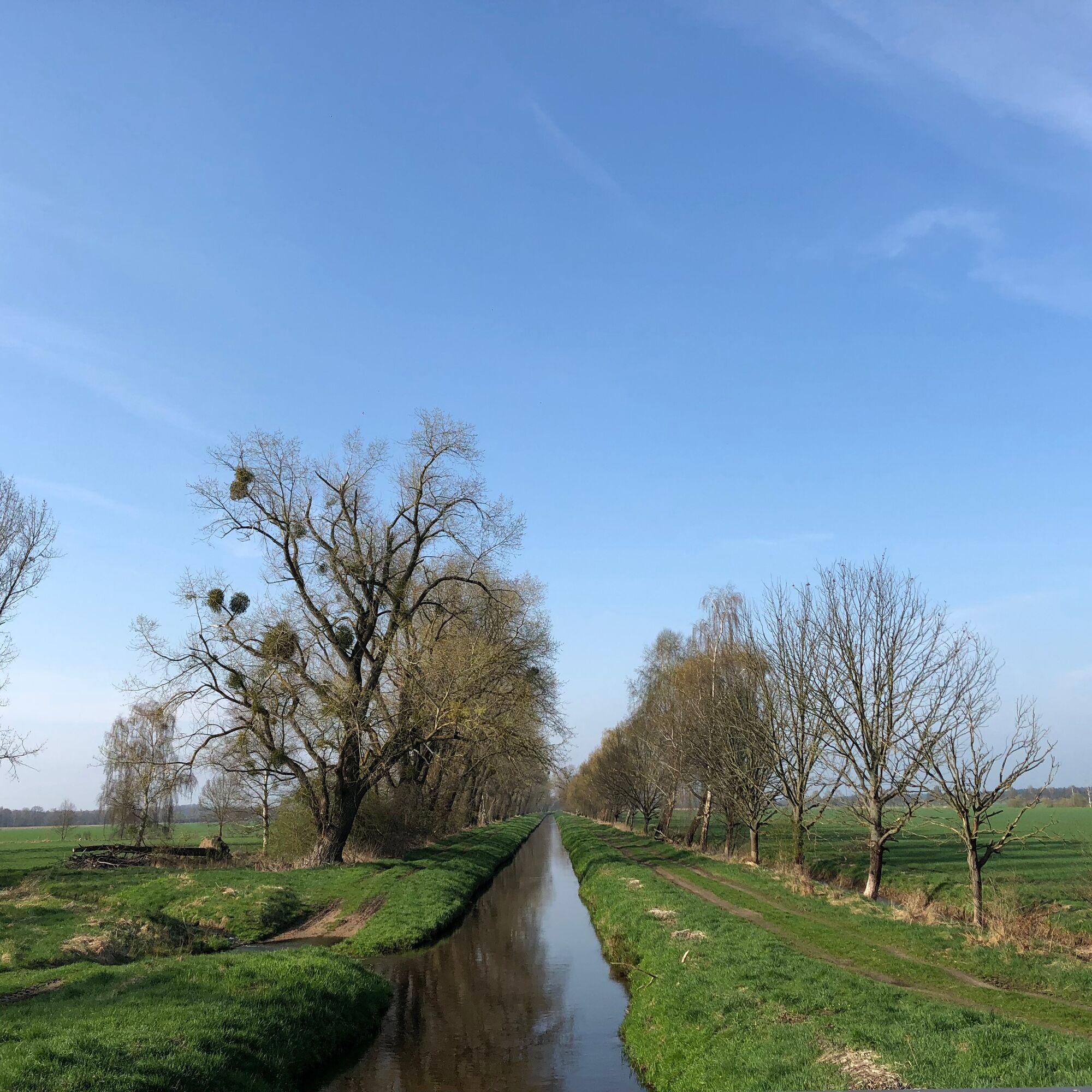
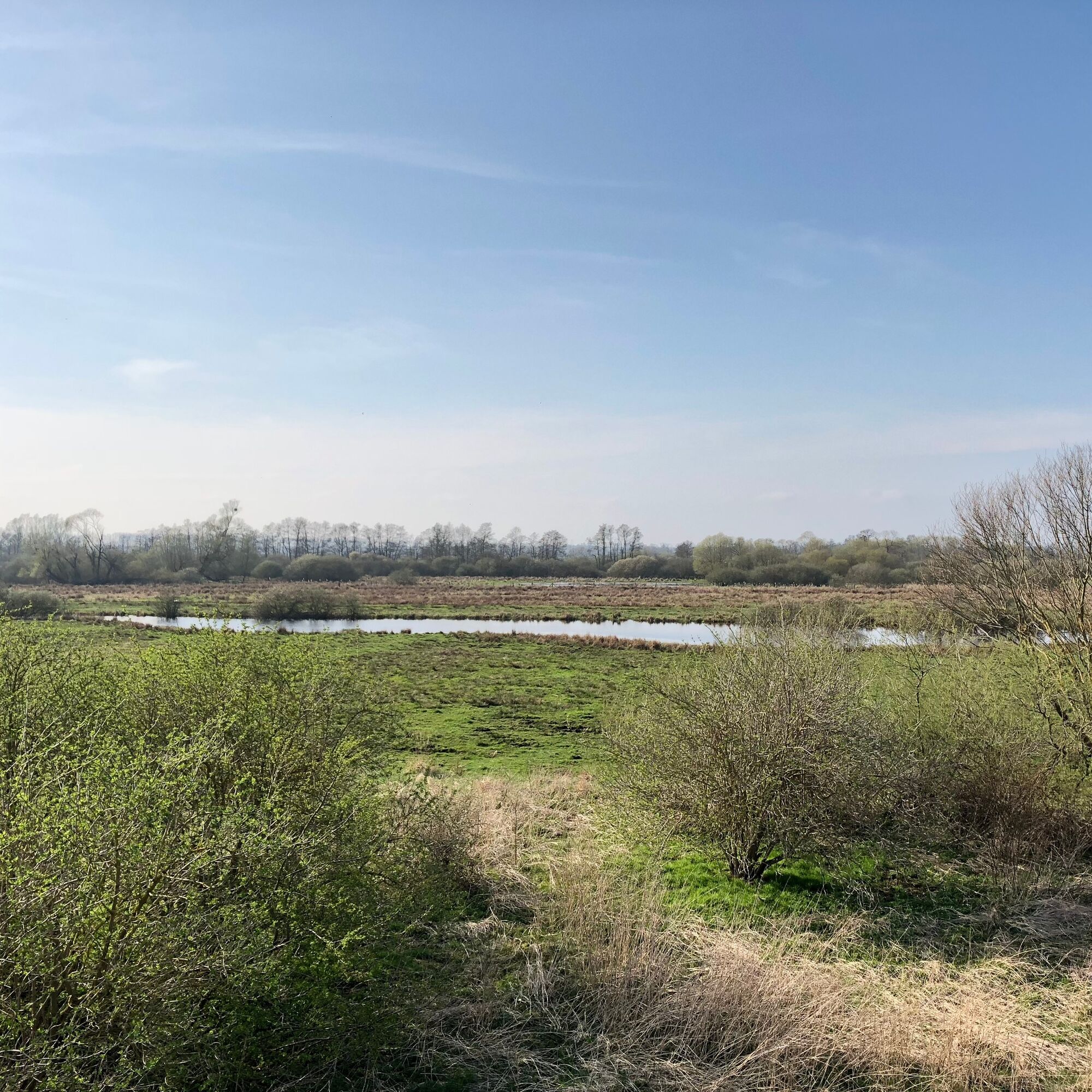
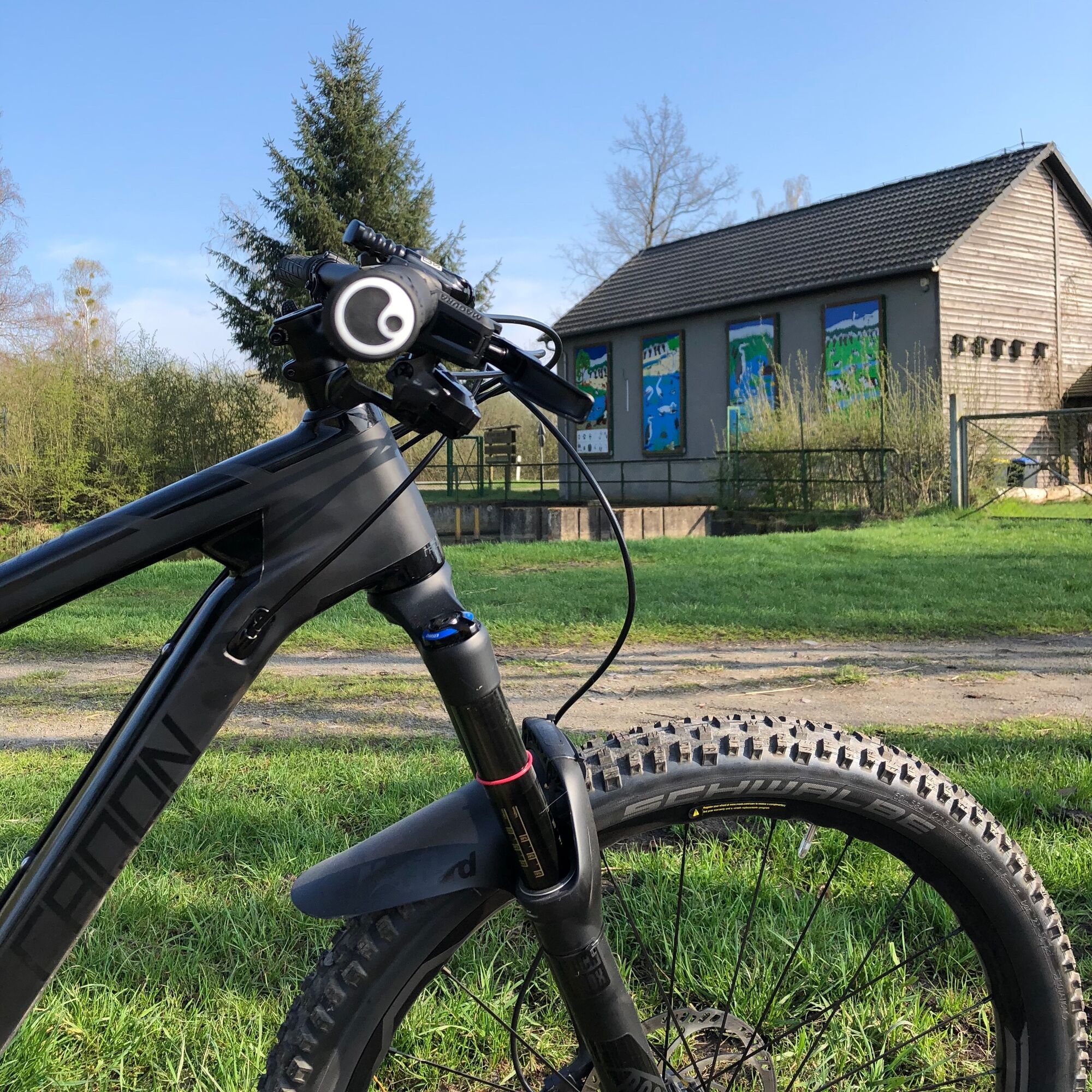
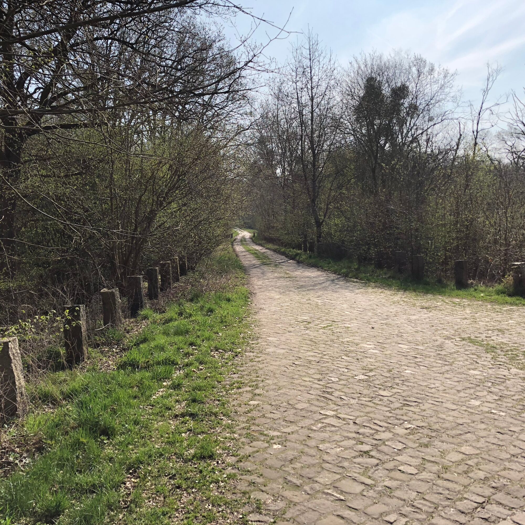
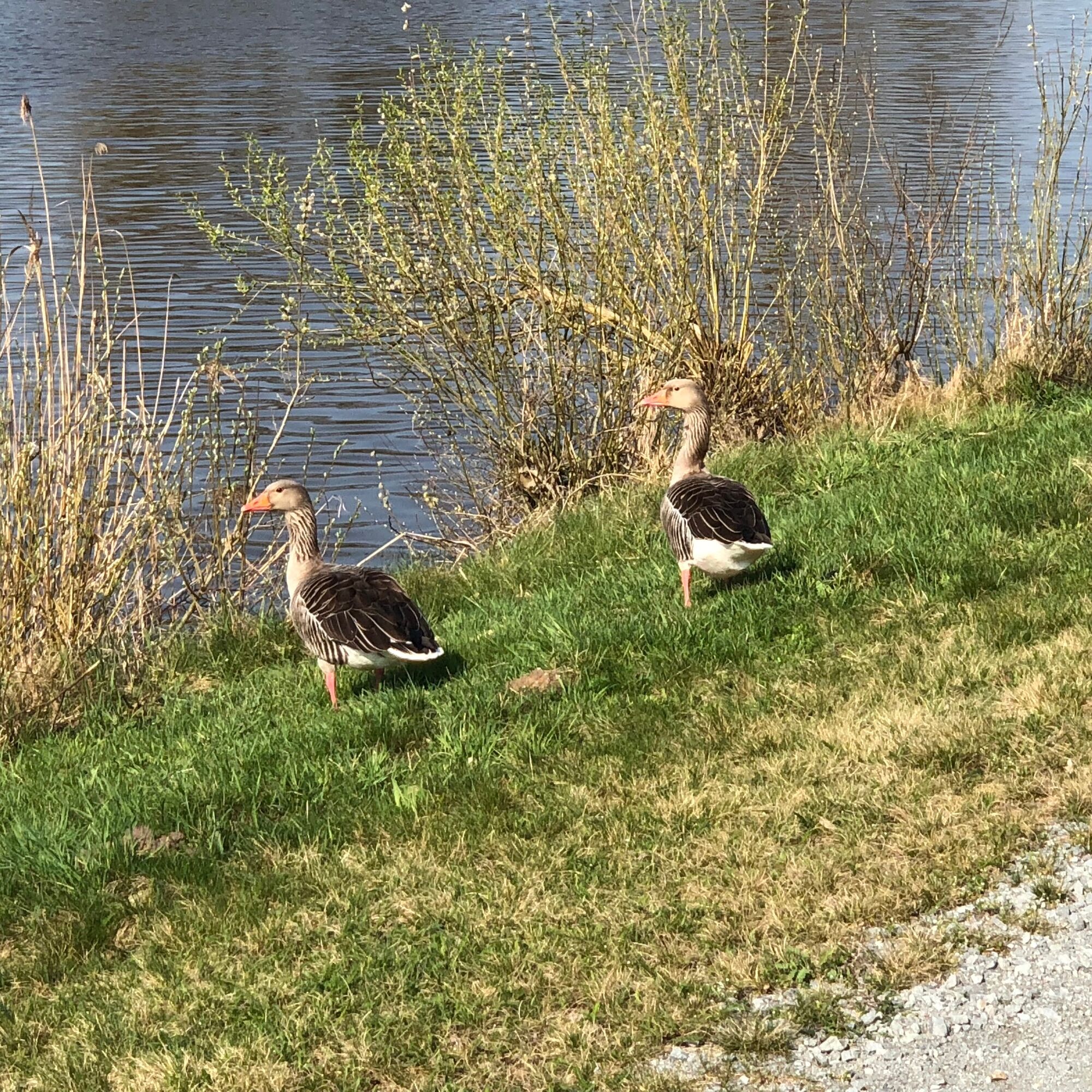
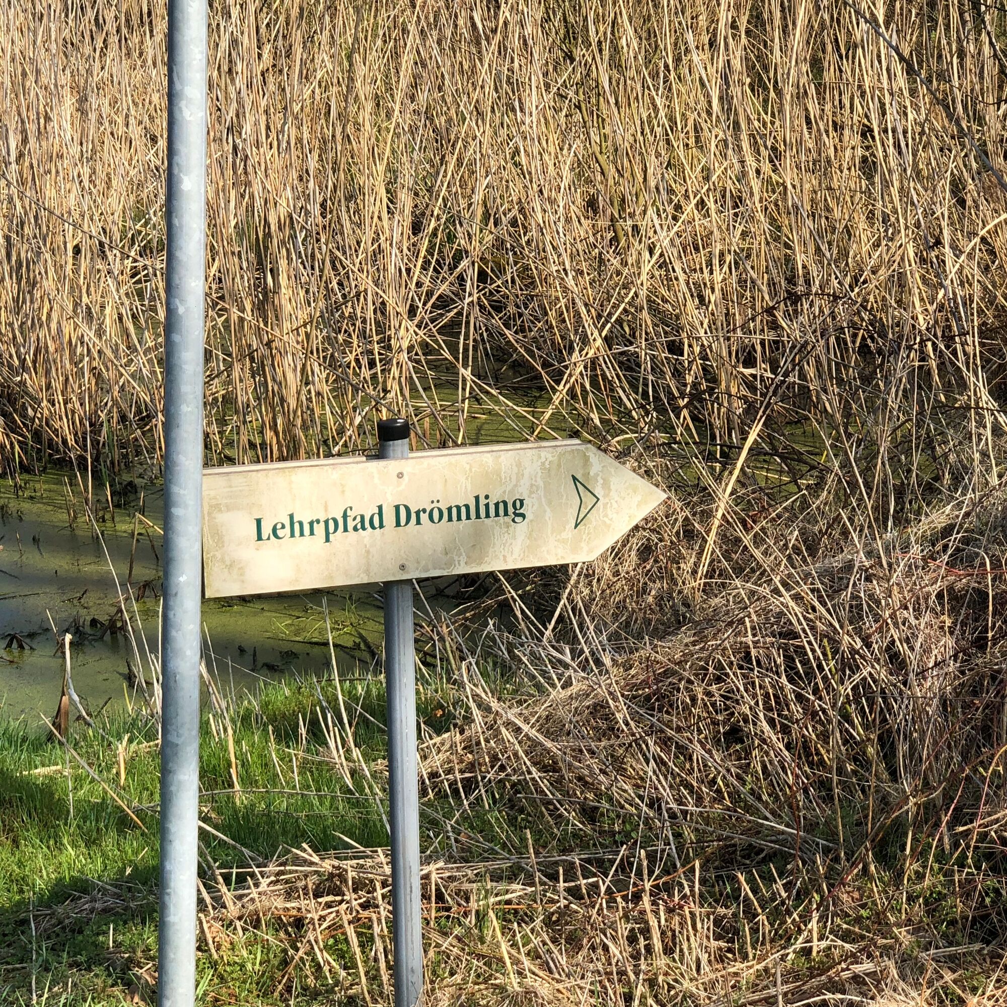

The bike route starts at the border nature trail near Böckwitz heading towards Kaiserwinkel on the Lower Saxony side. After the first stops at the "Kurt Lichtenstein Cross" and the Kaiserwinkel observation tower, it goes into the Giebelmoor continuing towards the canal near Rühen. At the canal bridge, half of the route is reached, and there is the option to stop at the canal inn. Then the route goes a few kilometers further along the Mittelland Canal, with a short detour to the observation towers near Breitenrode (Niedermoor Stauberg), to Buchhorst. At the edge of the core zone towards Schwarze Brücke, another observation tower is passed. The return trip to the starting point is on the Saxony-Anhalt side along the former inner-German border.
Food and drinks for on the go, as there is only one option for stopping
Partly field and gravel paths, please start with a suitable bike (trekking, mountain bike)
On the road between Zicherie and Kaiserwinkel is the path towards the border nature trail (follow signs)
With the new line 300, Böckwitz can be reached from Wolfsburg Central Station and Klötze
(hourly on weekdays, every two hours on holidays and weekends)
Large free parking lot at the border nature trail
4
Guided bike routes and further information:
Museum for Border and Agriculture Böckwitz
Border nature trail in Böckwitz
Border museum in Böckwitz
Drömling Biosphere Reserve
Priljubljeni izleti v okolici
Hike from Border Museum Böckwitz to the Border Trail and Lichtensteinkreuz
srednjaPohodništvo 5.34 kmStork Route - Cycling in the Drömling
srednjaKolesarjenje 21.0 kmRundweg Tappenbeck-Brackstedt-Warmenau
srednjaPohodništvo 10 kmBibertour - cycling in the Drömling
srednjaKolesarjenje 28.4 kmArchitektur der Moderne - Wolfsburg Zentrum
svetlobaKolesarjenje 24.4 kmVelpker Schweiz-Route
svetlobaKolesarjenje 33.7 kmIron Curtain Trail
težkoKolesarjenje 1,586 kmRadroute in der Ohreaue
svetlobaKolesarjenje 61.3 kmKlötzer Moor- und Wald-Tour im Drömling
srednjaKolesarjenje 60.0 kmLehrpfad Drömling - Fußweg
svetlobaPohodništvo 6.69 km

Pohodništvo in sledenje


Ne zamudite ponudb in navdiha za naslednje počitnice
Vaš e-poštni naslov je bil dodan na poštni seznam.





