


Lahnwanderweg stage 19 upstream Mouth of Lahn - Bad Ems
Let’s go! Right at the beginning of this trail its diversity will become apparent: a placid, furious as well as wild and romantic way with views and passages that invite hikers to relax. The Lahnwanderweg...
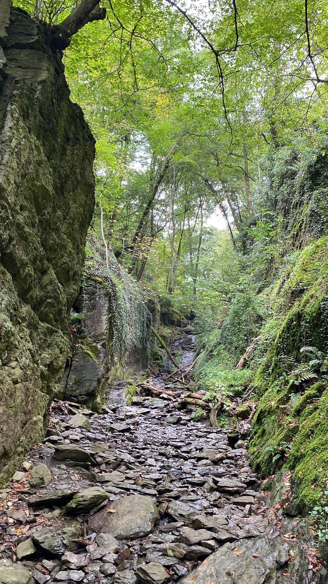
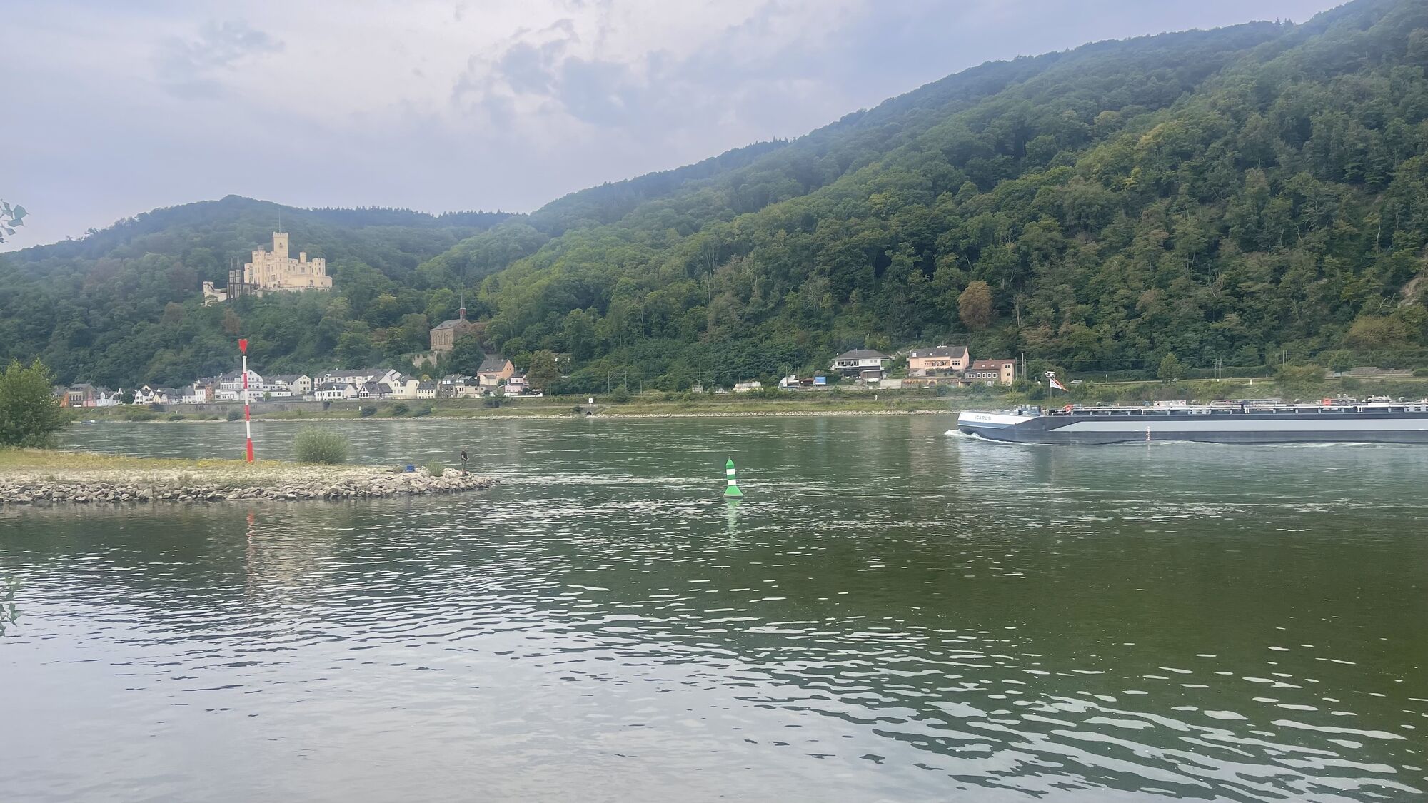
Let’s go! Right at the beginning of this trail its diversity will become apparent: a placid, furious as well as wild and romantic way with views and passages that invite hikers to relax. The Lahnwanderweg trail begins at the place where the Lahn enters the Rhein. In the district of Niederlahnstein, the banks of the Rhein and Lahn are still very calm. The journey will become furious as well as wild and romantic as soon as hikers will get on the partially rope-guided way through the Ruppertsklamm gorge. Pure relaxation and quiet can be found in magnificent beech forests as well as at the vantage points high above the Lahn. The stage ends in the town of Bad Ems where the tour will become historically interesting and glamorous.
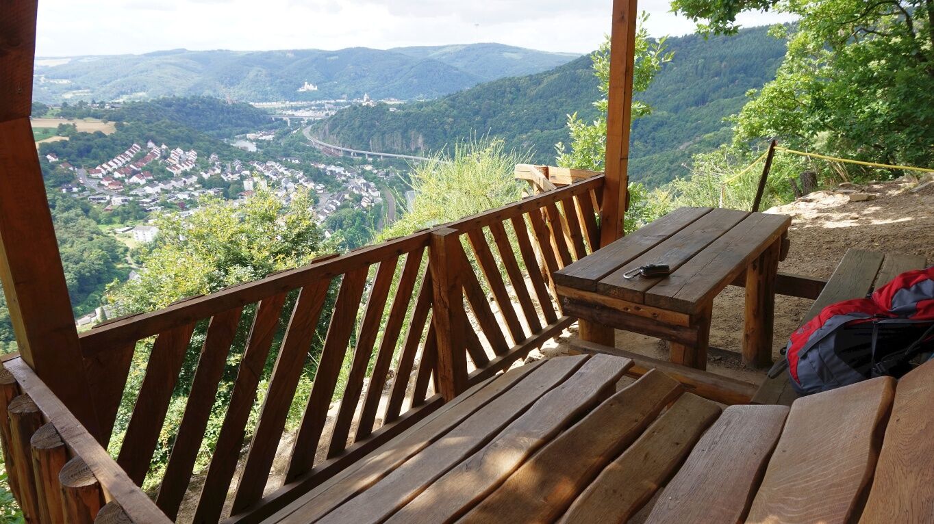
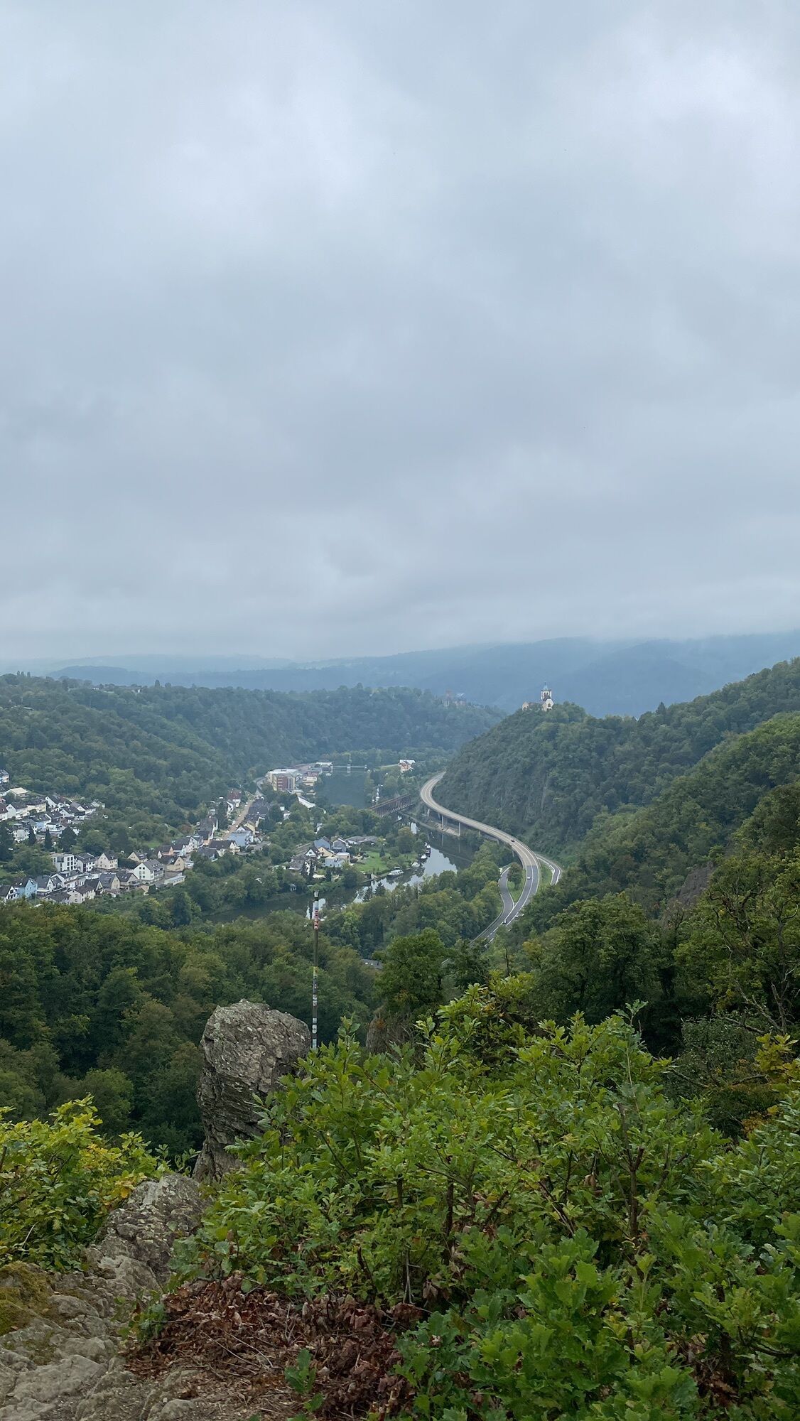
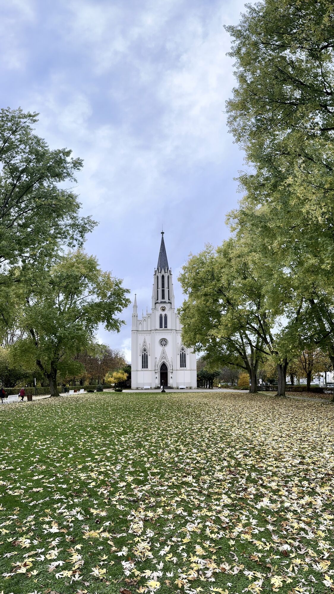
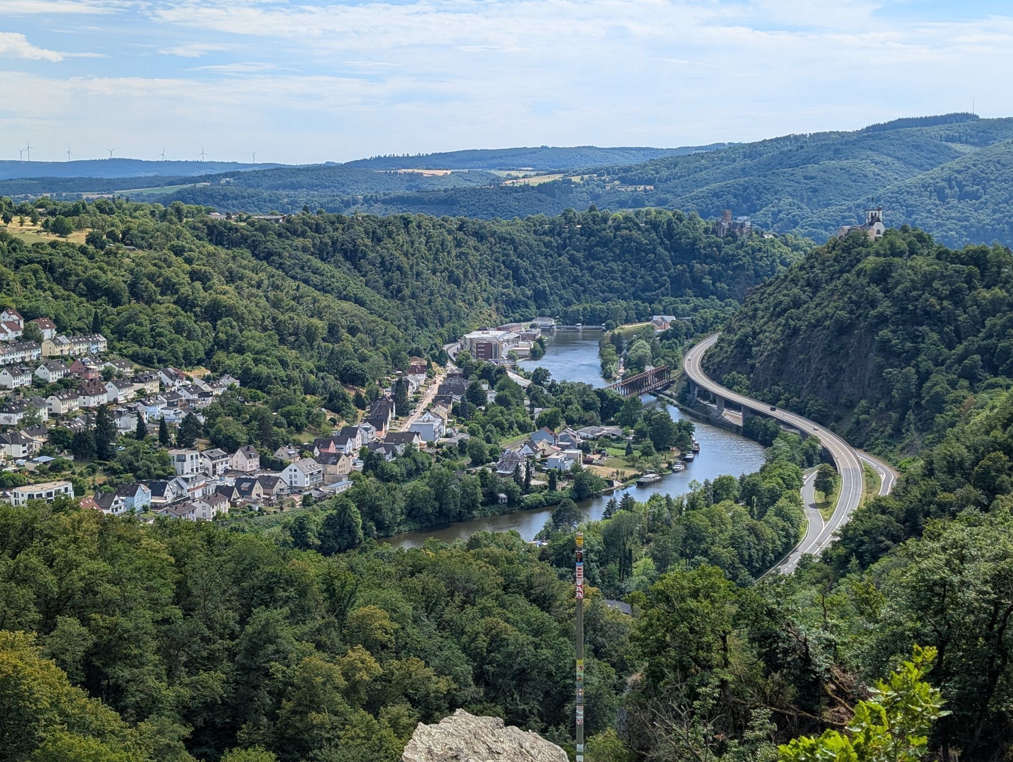
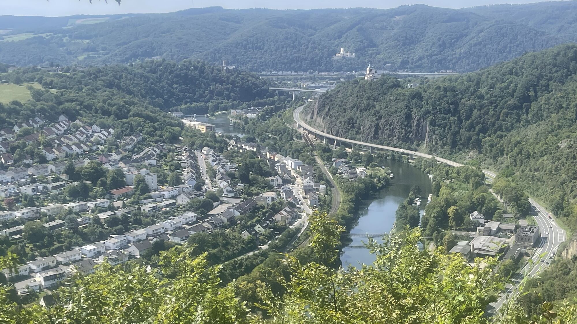
When you reach the upper exit of the Ruppertsklamm gorge, the path turns right through the forest up to the Mehrsberg. An ingenious panoramic section begins with views of Lahnstein, Lahneck castle, the Allerheiligenbergkapelle and Stolzenfels castle. The most comfortable way to enjoy this view is sitting or lying down on the wooden lounger in the refuge that you can find there. Through the mixed forest, which is typical of the Lahn valley, the Lahnwanderweg trail now continues to the "Zwei Tannen Hütte" and to the summit cross, situated high above the communities of Fachbach and Nievern.
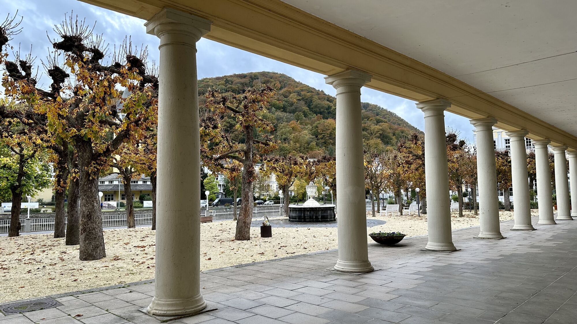
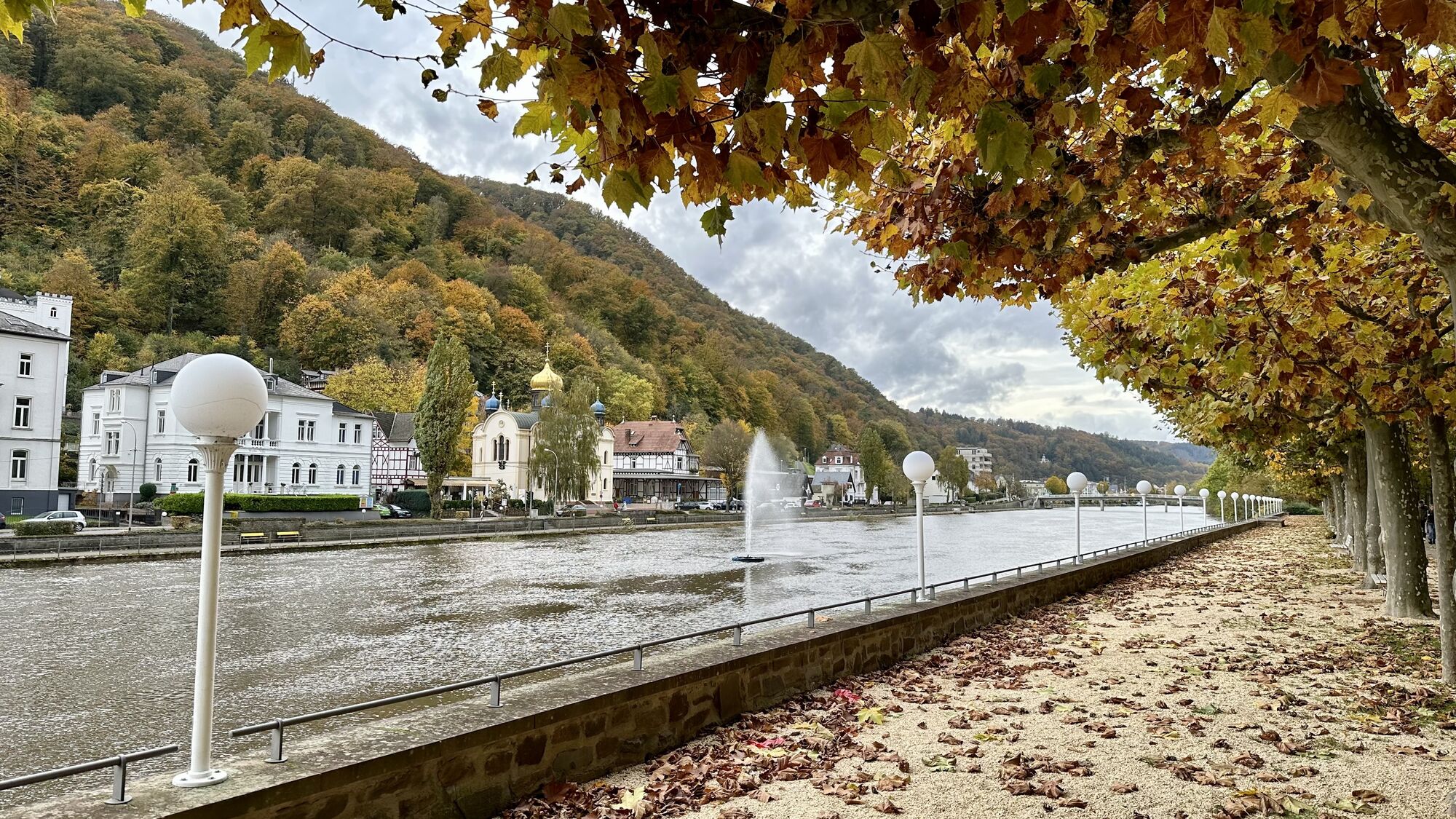
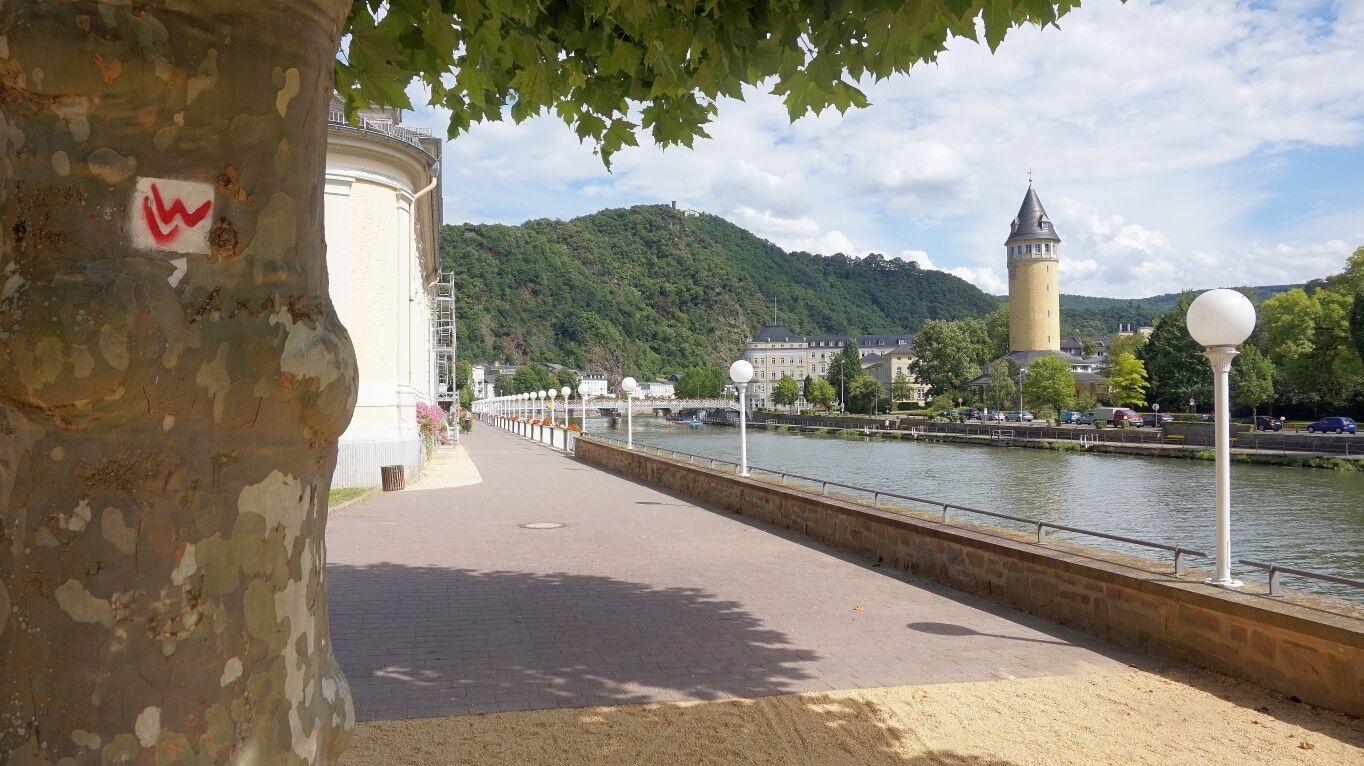
The trail now leads down to Fachbach from where it climbs up again to the Lemberg. In this old vineyard area, boer goats live under semi-wild conditions. The way leads through the residential area down to the town of Bad Ems. Shortly behind the Emser Therme, you will reach the promenade. Bad Ems offers several possibilities for a break with food and drinks. The stage ends at the Kurhaus with the Römerquelle in quite a chic atmosphere.
Sturdy shoes required (wetness in the Ruppertsklamm), apart from that ordinary hiking equipment is required. Take backpack vespers and drinks with you.
Boer goats graze in semi-wild keeping on the Lemberg. These can be very curious, but are harmless.
For information on diversions and relocations, please see our "Current Information".
Information on restrictions in the rail network can be found here.
B 260 to Bad Ems and Niederlahnstein
Bad Ems, car park
Enjoy the end of your day at the Emser Therme. Spending time at the thermal bath will relax your muscles and will make sure that there will be a fresh start for the next day!
Priljubljeni izleti v okolici
-
4.7
Langhalsweg Osterspai
srednjaPohodništvo 7.50 km -
4.5
Boppard - Restaurant Cafe Vierseenblick - GedeonsEck
težkoPohodništvo 4.99 km -
4.5
Mittelrheinsteig Boppard #LL2ROM V09
težkoPohodništvo 5.01 km -
4.5
Traumschleife Elfenlay
težkoPohodništvo 11.4 km -
5.0
Bendorf - Schloßberg - Bendorf-Stromberg - Waldgaststätte Meisenhof
težkoPohodništvo 15.9 km -
5.0
Friedland - Lahnstein - Schutzhütte Ruppertsklamm - Horchheimer Höhe
srednjaPohodništvo 10.0 km -
5.0
Moselsteig stage 24: Winningen – Koblenz
svetlobaPohodništvo v daljavo 15.2 km -
5.0
Moselsteig Stage 23: Kobern-Gondorf – Winningen
srednjaPohodništvo v daljavo 13.9 km -
4.7
LahnWeinSteig
težkoPohodništvo 11 km -
4.0
Forellenhof - Bembermühle - Saustallkopf - Vallendar
srednjaPohodništvo 11.3 km

Pohodništvo in sledenje


Ne zamudite ponudb in navdiha za naslednje počitnice
Vaš e-poštni naslov je bil dodan na poštni seznam.