






Wine hike: Weisenheim am Sand - Sandhasenweg 1

The "first" Sandhasenweg first leads you north, then west, past orchards and through vineyards. Connected with wonderful views, it goes along the districts "Am Mühlweg" and "Am Gänsborn" back towards the...
The "first" Sandhasenweg first leads you north, then west, past orchards and through vineyards. Connected with wonderful views, it goes along the districts "Am Mühlweg" and "Am Gänsborn" back towards the town and the starting point. The route runs counterclockwise.

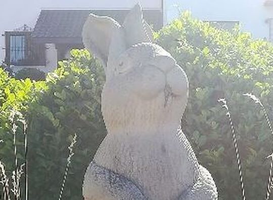
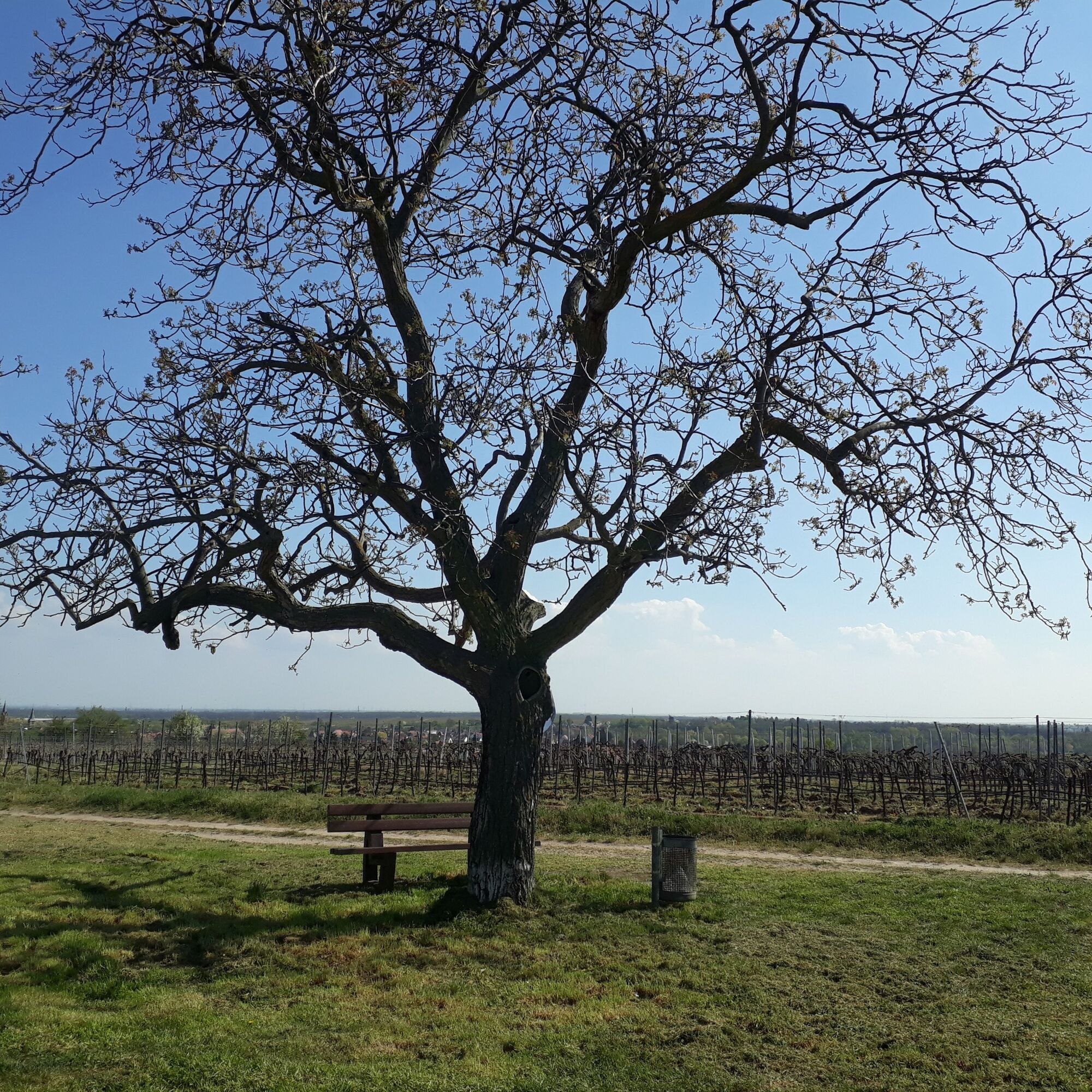
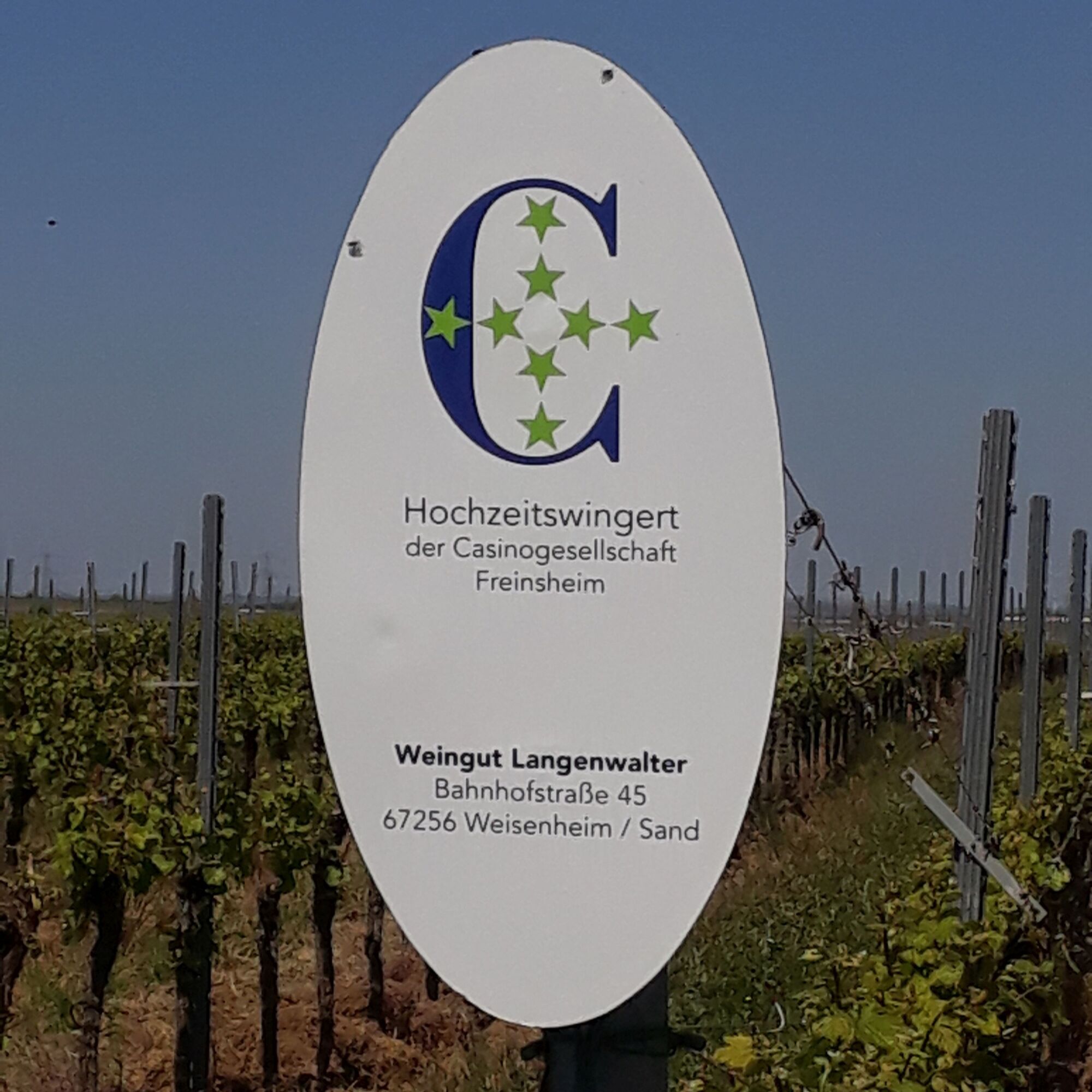
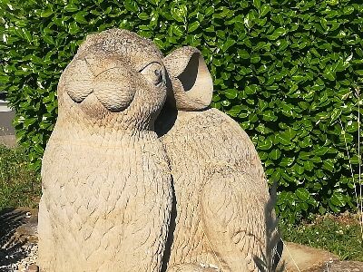
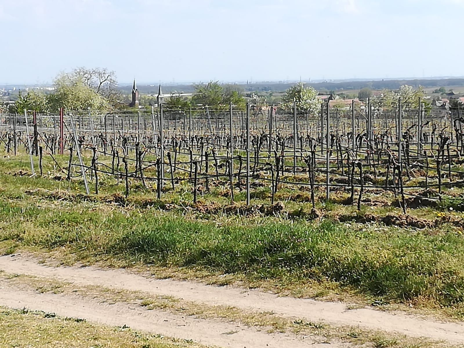
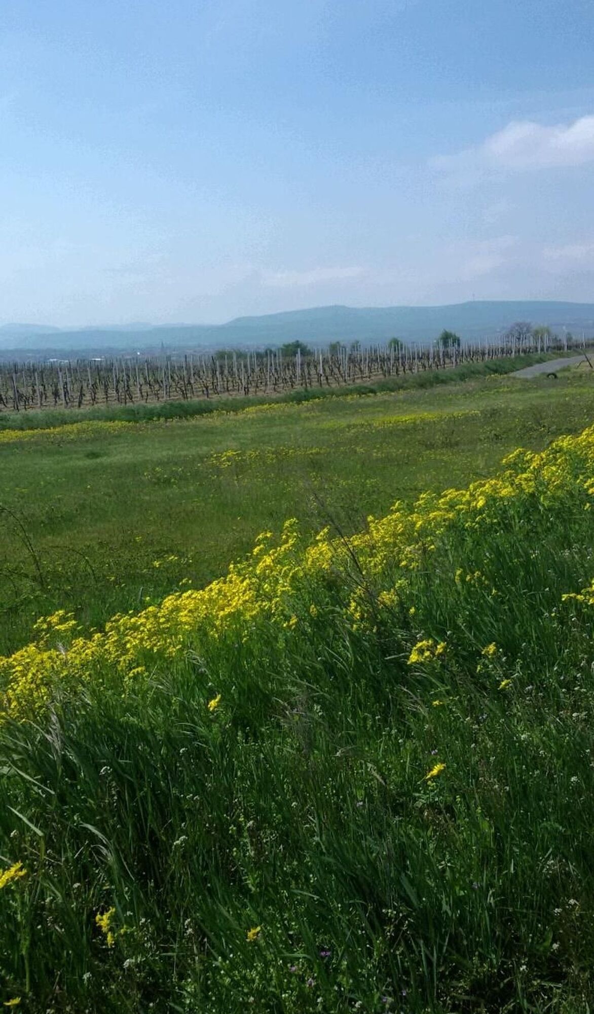

From the parking lot at the cemetery, initially follow the signs for Sandhasenweg 1 and 2 in a northerly direction. At the second crossroads, paths 1 and 2 separate. Follow the signs for 1 to the left in a westerly direction until you cross the L 454. With a view of the Palatinate Forest, continue the hike through the vines almost up to the boundary of the district. Following the signposts, the path then leads back southeast to Weisenheim am Sand.
Just before reaching the town border, you will find a shady bench. In the town, walk along Großkarlbacher Straße and turn left at the Pension Hilzensauer into Friedrichstraße. After crossing Laumersheimer Straße, continue to Gerolsheimer Straße, which will take you left back to the parking lot at the cemetery.
Sturdy footwear and clothing adjusted to the weather.
The route often runs on so-called agricultural roads. These serve agricultural use and are used all year round by tractors and harvesting machines. We point out that using these paths is at your own risk and ask everyone to be considerate in the interest of all. The agricultural roads may be soiled by agricultural traffic. After rainy days and especially in winter, the paths can be wet and slippery.
Single crossing of the state road L454 (Weisenheim am Sand/Großkarlbach) without crossing aid, fast-moving cars are to be expected.
From the North:
Motorway A6 (Mannheim/Kaiserslautern, exit Grünstadt) towards Bad Dürkheim, on B271 (German Wine Route) via Herxheim am Berg to Freinsheim. On the bypass road at the second roundabout towards Weisenheim am Sand. At the roundabout in the town center, take the 3rd exit (Gerolsheimer Straße), follow signs for the cemetery.
From the North from Laumersheim / Dirmstein:
Immediately after entering the town, turn left into Friedrichstraße, then immediately left again into Gerolsheimer Straße, follow signs for the cemetery.
From the South:
Motorway A61 at Ludwigshafen junction towards Bad Dürkheim. Exit Maxdorf. At the roundabout take the 2nd exit towards Maxdorf. At the next roundabout take the 2nd exit towards Weisenheim/Sd. Drive up Bahnhofstraße to the roundabout in the town center, here take the 2nd exit (Gerolsheimer Straße), follow signs for the cemetery.
From the East: from Frankenthal / Lambsheim:
At the roundabout in the town center, take the 1st exit (Gerolsheimer Straße), follow signs for the cemetery.
Weisenheim am Sand train stop - timetable information www.vrn.de
About 1.2 km walk to the starting point of the route via Bahnhofstraße, right towards the town center, at the roundabout into Gerolsheimer Straße until the town end.
Parking lot at the cemetery (Gerolsheimer Straße)
Urlaubsregion Freinsheim, i-Punkt Kallstadt, Tel: 06322/667838, www.urlaubsregion-freinsheim.de
After the hike, the gastronomy in Weisenheim am Sand is available for refreshments.
Priljubljeni izleti v okolici
-
4.1
Ganerbenweg - Premium circular hiking route in the Freinsheim holiday region
srednjaPohodništvo 10.5 km -
4.6
From Deidesheim over the Heidenlöcher to Eckkopf
srednjaPohodništvo 14.6 km -
4.5
Wachenheimer Valleys Route to Oppauer Haus
srednjaPohodništvo 11.7 km -
Wachenheim - Eckkopf - Heidenlöcher - Wachenheim
srednjaPohodništvo 12.8 km -
5.0
Circular route through forest and vineyard: Weisenheim am Berg - "Wine, Forest, Ungeheuer"
srednjaPohodništvo 12.5 km -
3.5
Thomas‘ Waldweinstube über die Wachtenburg
svetlobaPohodništvo 4.81 km -
4.0
Palatinate Wine Steig Stage 03 Bad Dürkheim - Deidesheim
srednjaPohodništvo v daljavo 15.2 km -
3.5
Wachenheim - Eckkopf
srednjaPohodništvo 9.80 km -
4.3
Zwei-Burgen Tour Battenberg
srednjaPohodništvo 5.43 km -
5.0
Palatinate Wine Trail Stage 01 Bockenheim - Neuleiningen
srednjaPohodništvo v daljavo 17.0 km
Pohodništvo in sledenje


Ne zamudite ponudb in navdiha za naslednje počitnice
Vaš e-poštni naslov je bil dodan na poštni seznam.





