



Clausenseetour

Stopnja težavnosti: T2

This extremely varied circular hike in Gräfensteiner Land offers a diverse mix: right after the start at Clauser "Hawebrunnen", you climb the "Kreuzberg" and have the opportunity to start the tour with...
UFFBASSE! - Campaign for considerate interaction in nature
Fire & smoking - Lighting fires, smoking and barbecues are strictly prohibited in the forest and must be avoided at all costs! This is the only way to prevent fires and the resulting damage to nature and wildlife.
Be considerate when out and about - Always behave in a forward-looking, friendly and considerate manner towards everyone you meet along the way.
Nature conservation - Stay on the designated paths and avoid making unnecessary noise when you are out in nature. Leave the forest at dusk at the latest so as not to disturb the rhythm of nocturnal animals.
Picnic & garbage - Remember to take a garbage bag with you and take your garbage home with you. Only use the furnished rest areas for breaks and picnics.
Dogs on a lead - Please keep your dog on a lead at all times. Other visitors and animals will thank you for it.
Further information at: www.pfalz.de/uffbasse
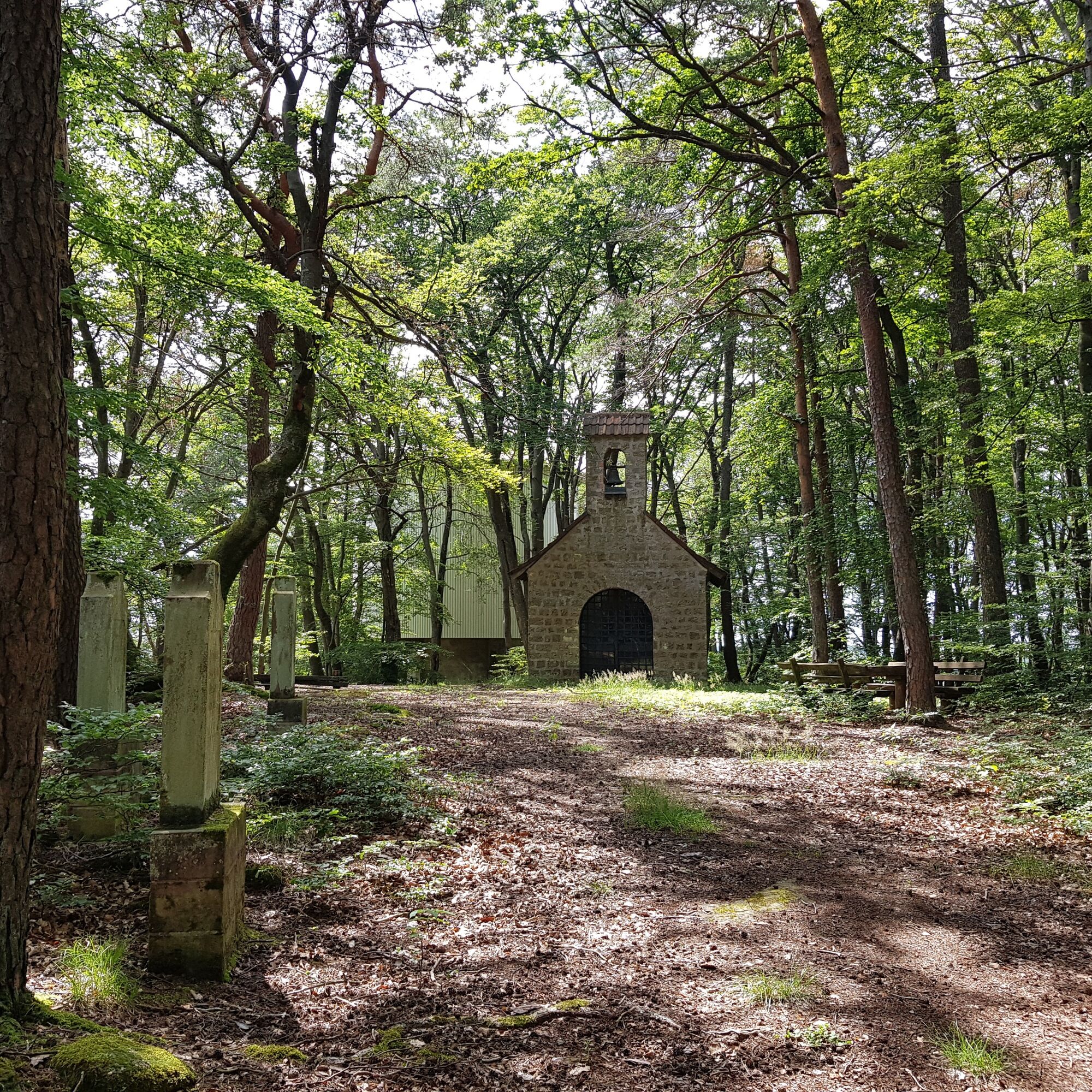
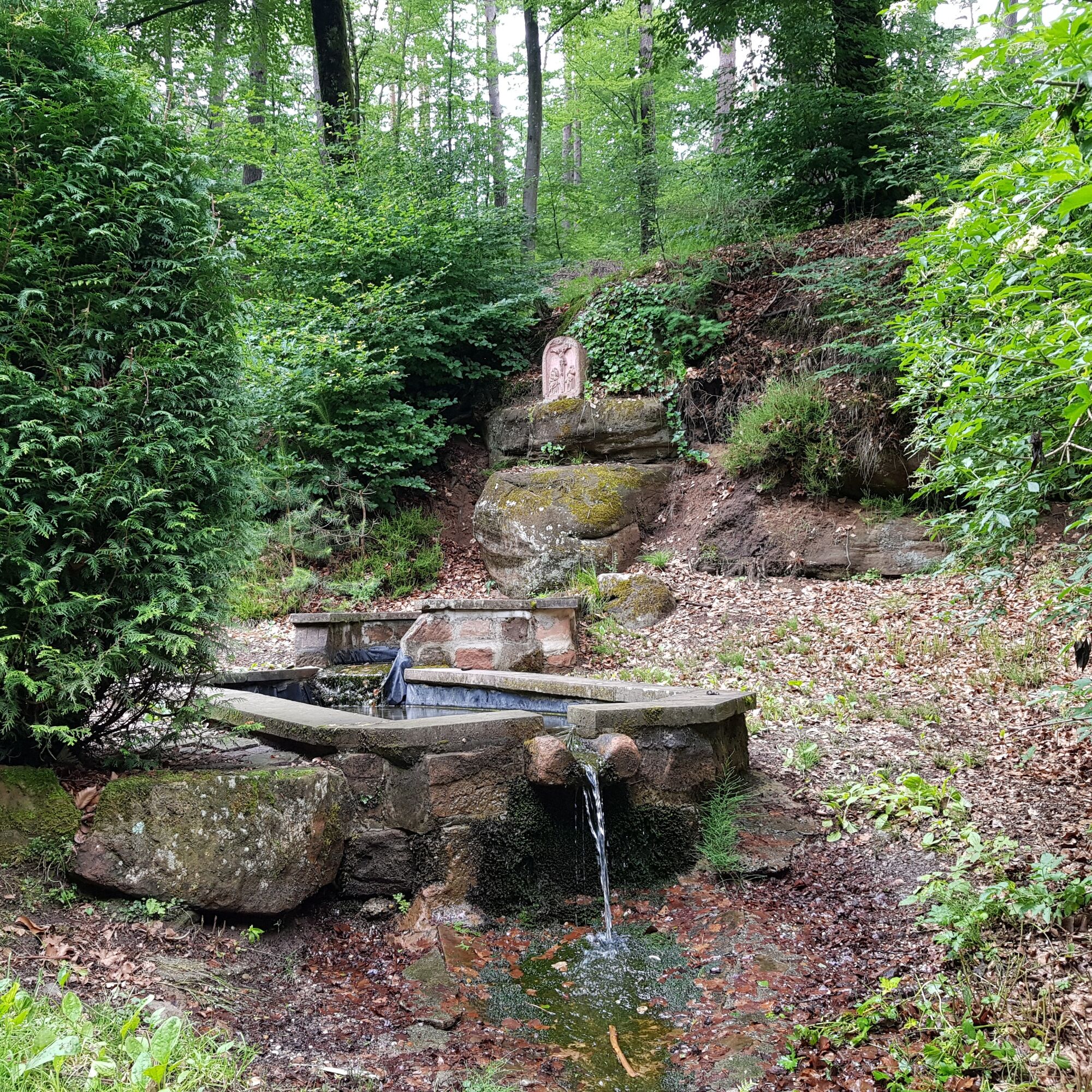
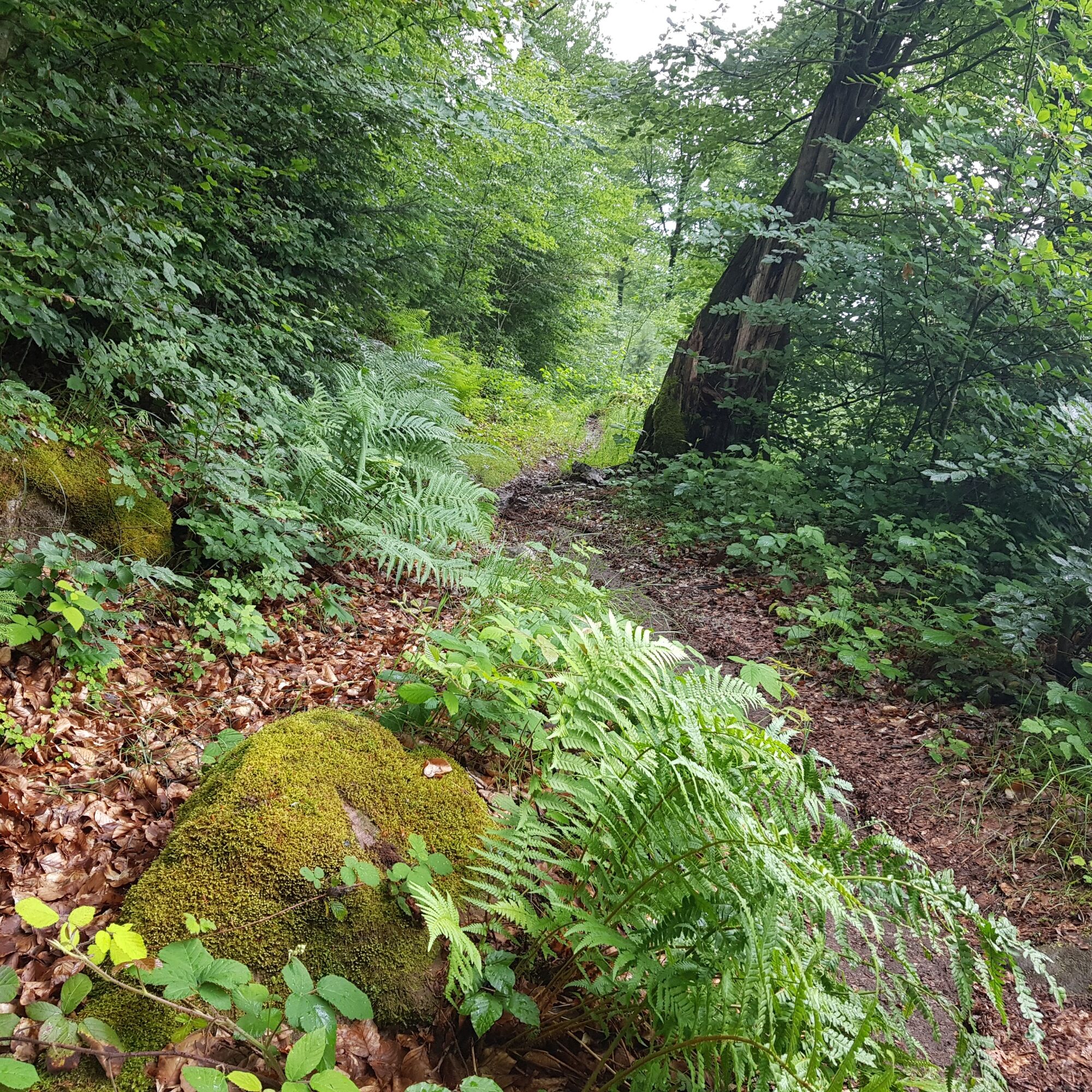
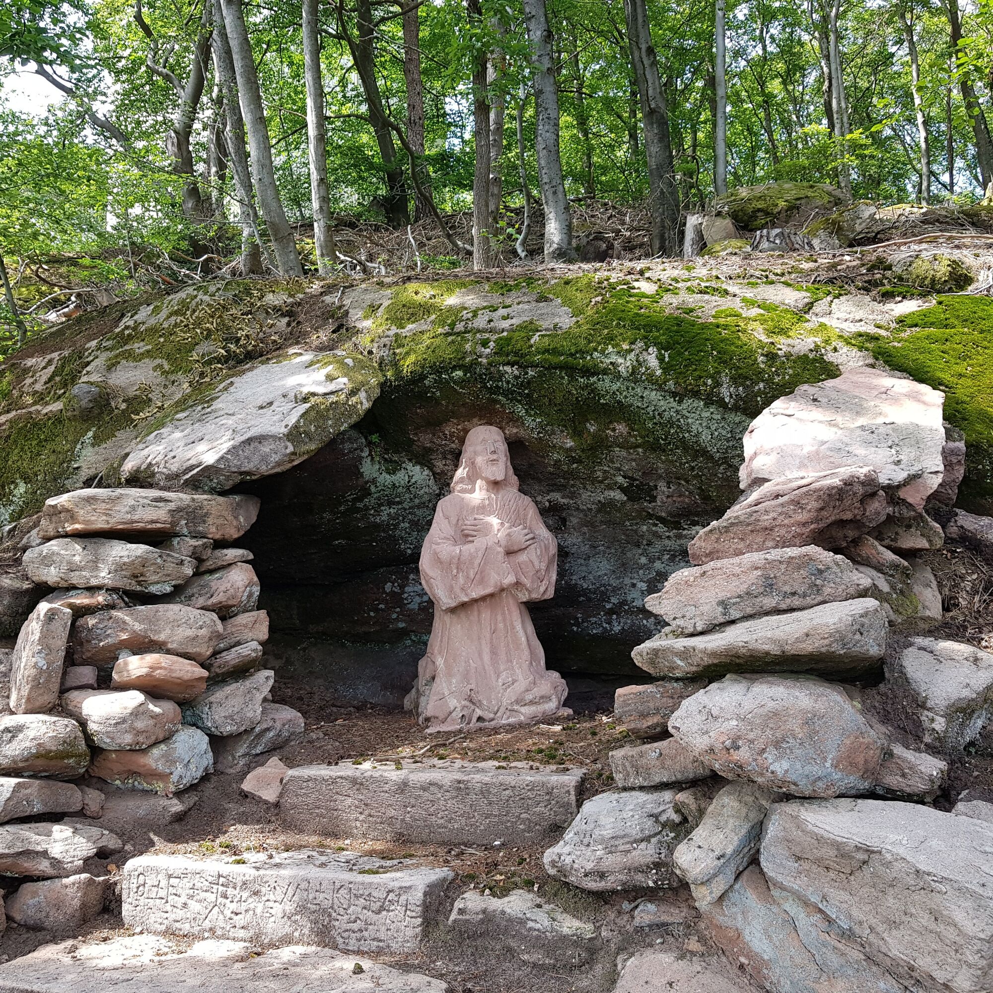
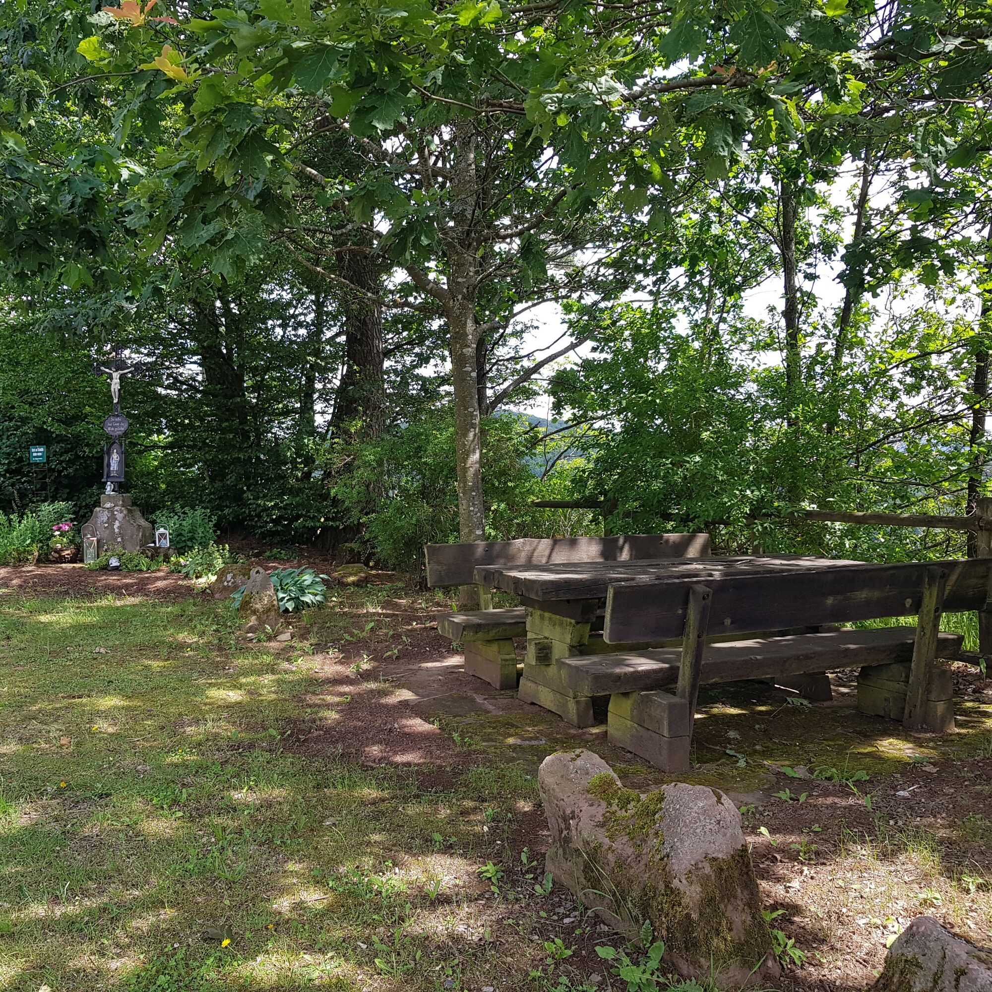
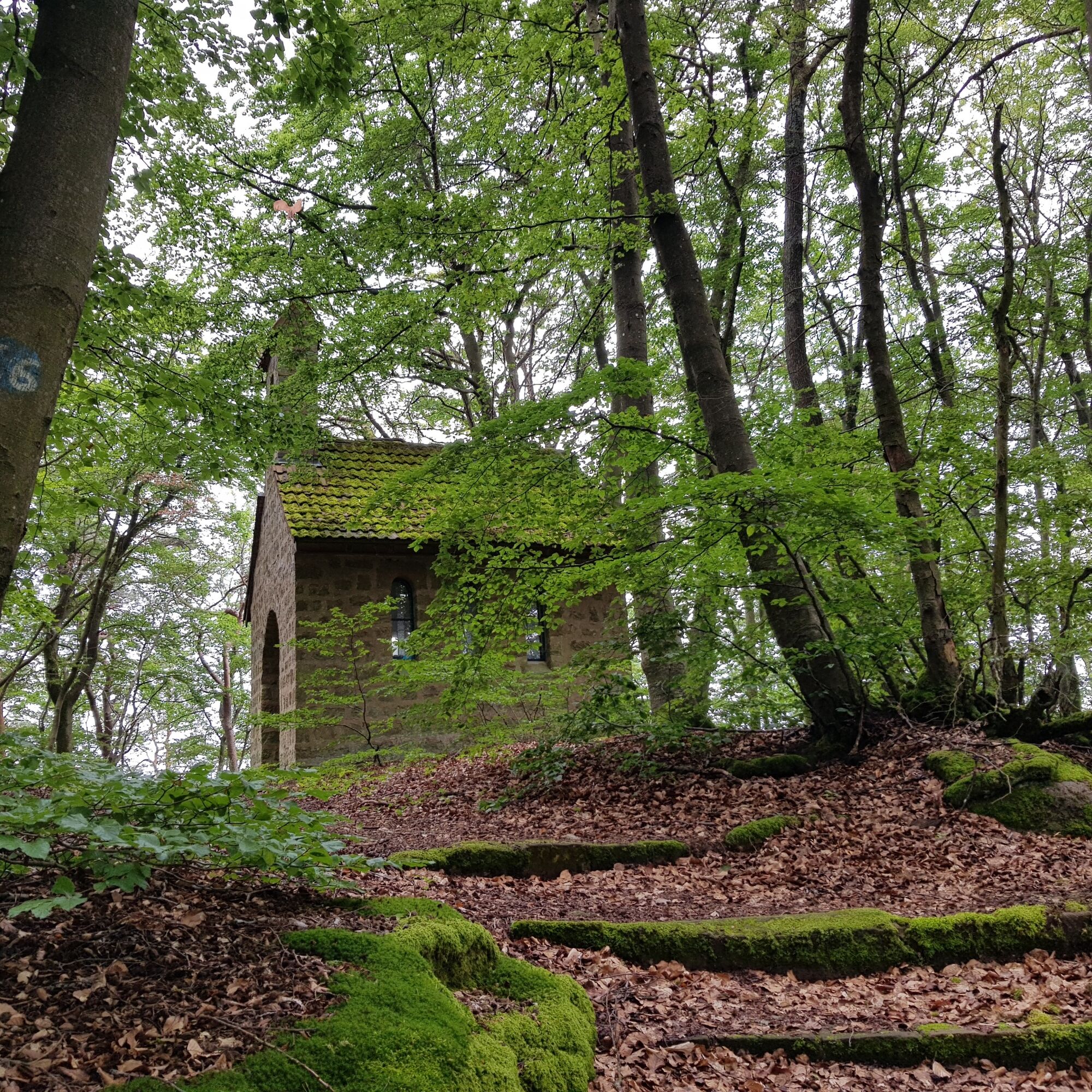

Once at the top, you no longer follow the road but continue straight on towards the forest. At the foot of the Enzenbühl (437 m), popularly known as the "Kreuzberg", you will find a beautiful seating area and a small altar, which already indicates the start of the Way of the Cross with its numerous stations and sculptures. After about 250 meters of path, you turn left and climb steeply up to the "Kreuzberg", which, in addition to the Way of the Cross, also houses the "Heilig Kreuz" chapel and another seating area. Shortly before the chapel of this local place of pilgrimage, turn right onto a natural stone staircase. The path now initially leads to the left past further Stations of the Cross before branching off to the right again. Shortly before you reach the first houses, turn right again onto a narrow path to the northeast. After about 350 meters, you leave this path via a zigzag path downhill in a northerly direction.
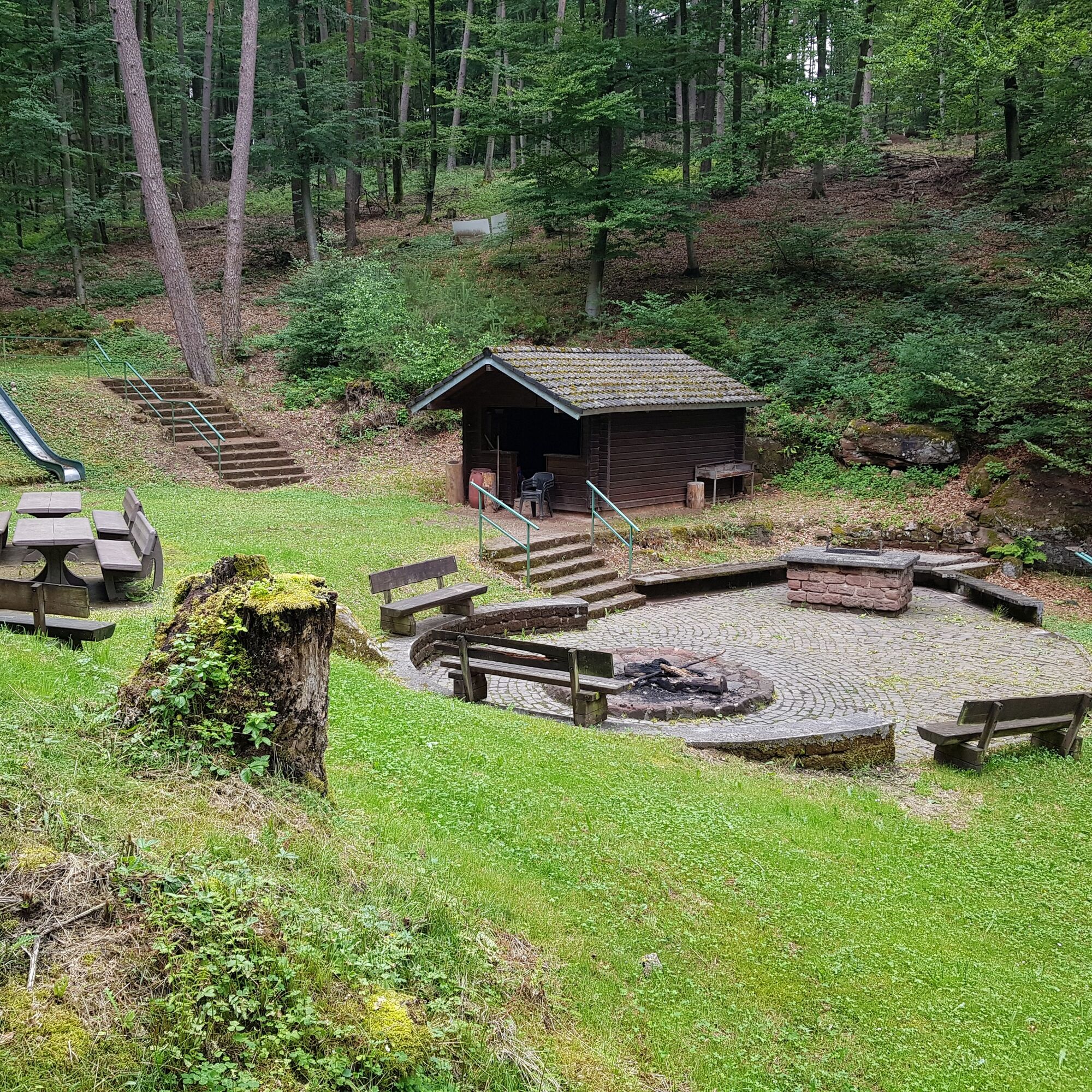
The zigzag path then joins a forest path, which you follow to the east and then to the south. After about 300 meters, turn left to reach the "Busche-Brunnen" barbecue area, which can be rented from the Busche-Brunnen-Verein for celebrations and events. The "Busche-Brunnen" fountain, which is also located here, gives its name to the area with its shelter and various seating and play areas. This is a beautiful fountain surrounded by sandstone elements.
Shortly before the barbecue area, however, turn right onto a short path that leads to a forest path, which you follow in an easterly direction past the Saufelsen rock. From the Saufelsen rock, follow a path in a south-westerly direction that leads to a slightly wider path. Stay on this U-shaped path for about 400 meters before you reach the asphalt Gräfensteiner-Land cycle path and turn left onto it.
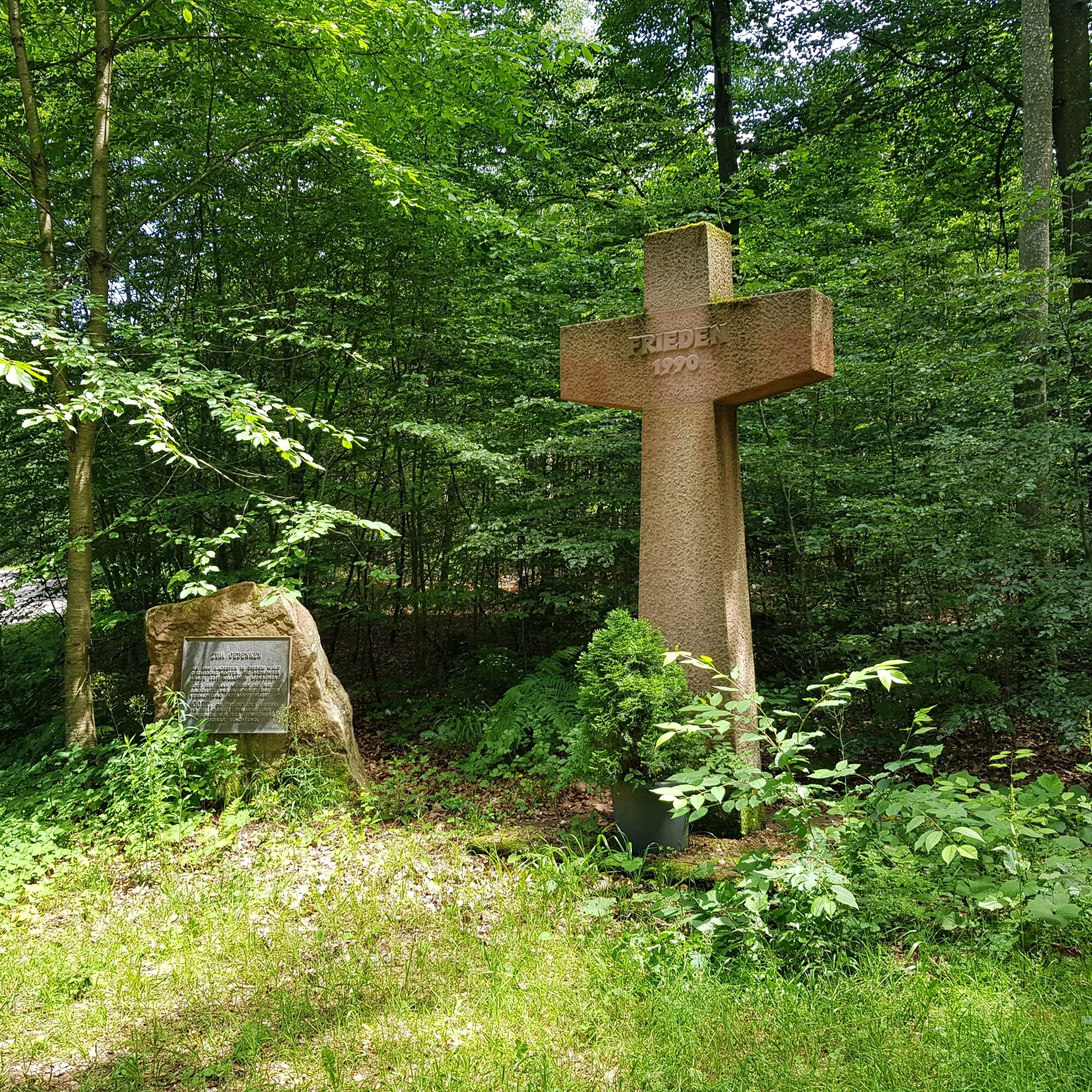
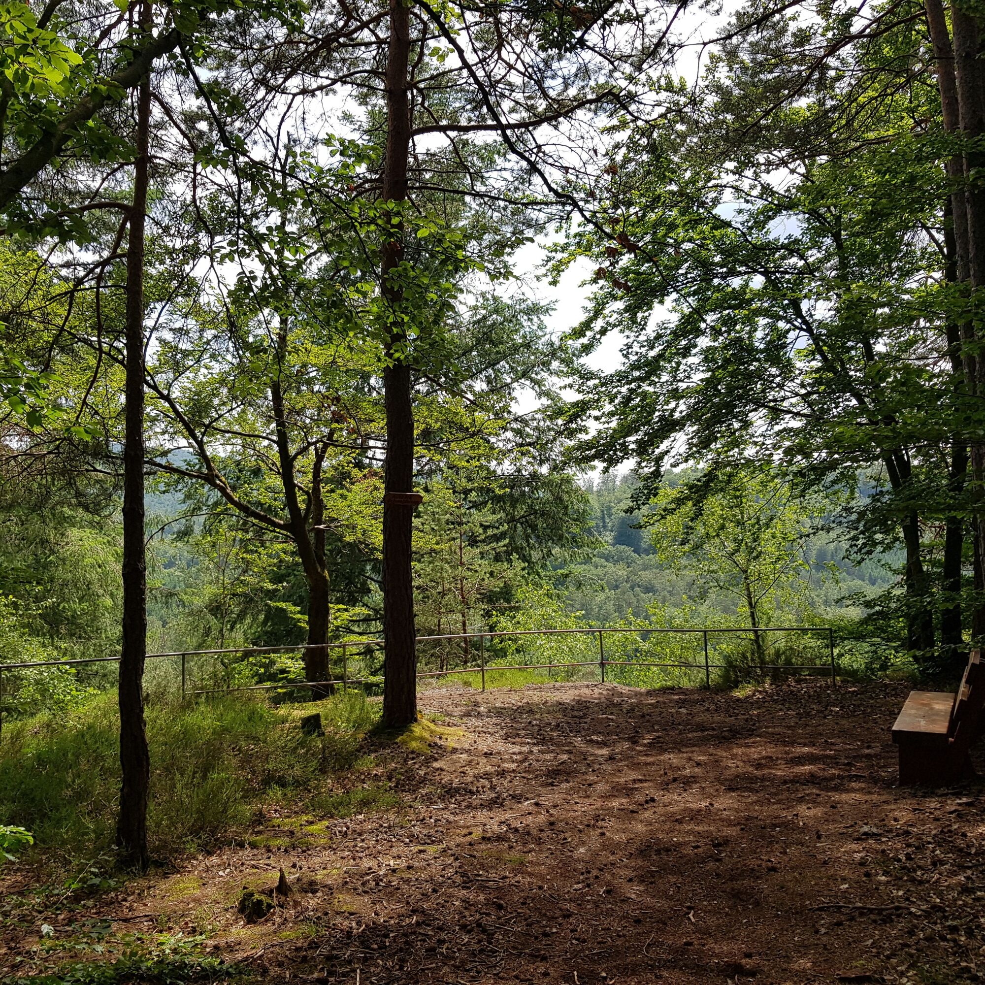
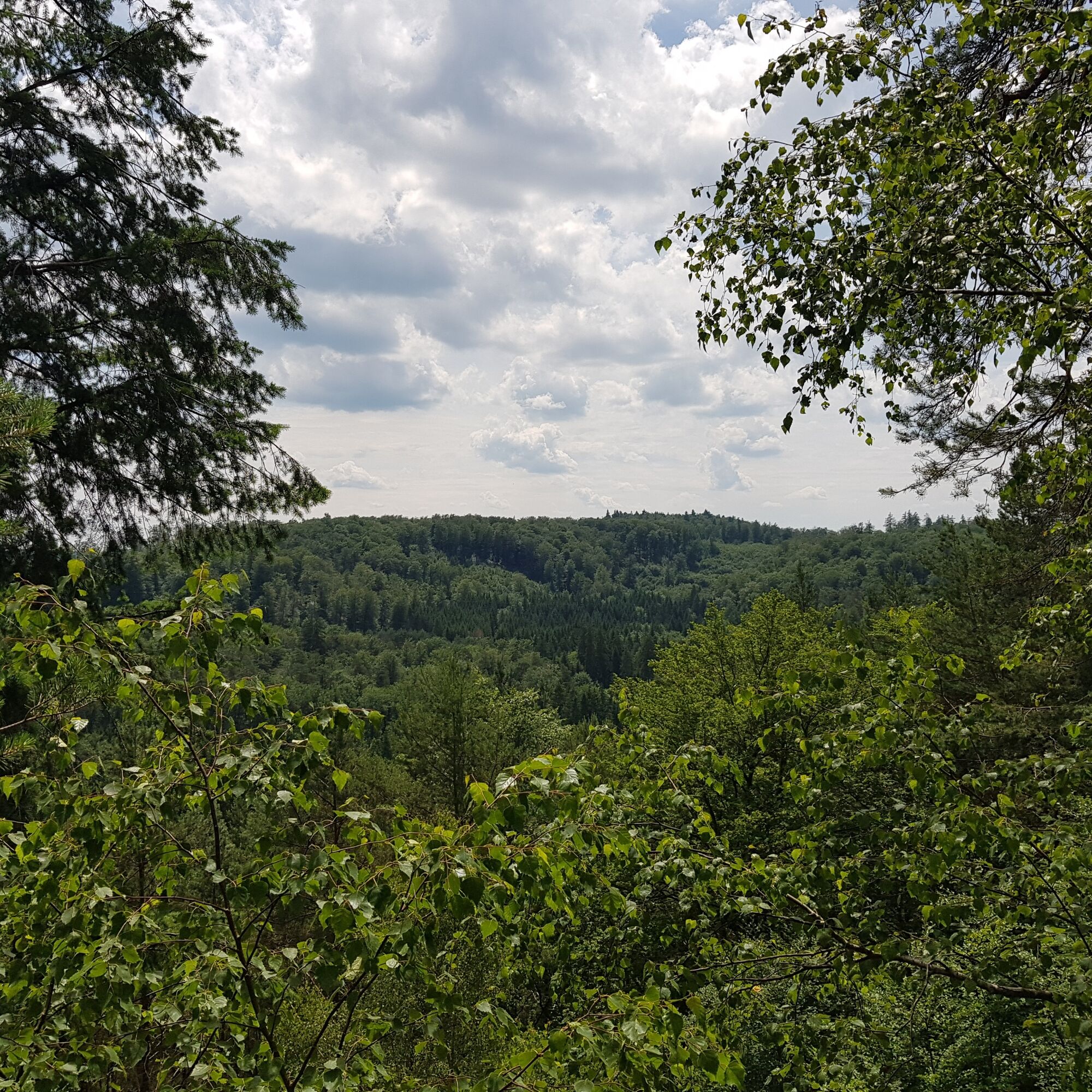
After about 400 meters, there is a peace cross and a memorial plaque on the right-hand side of the cycle path. Both commemorate the removal of chemical weapons by the US armed forces in 1990 (Lindwurm) and warn humanity against war, violence and destruction. Here you leave the cycle path to take a 600-metre detour south-west through beautiful, light-flooded mixed woodland to the Schwabfelsen viewpoint.
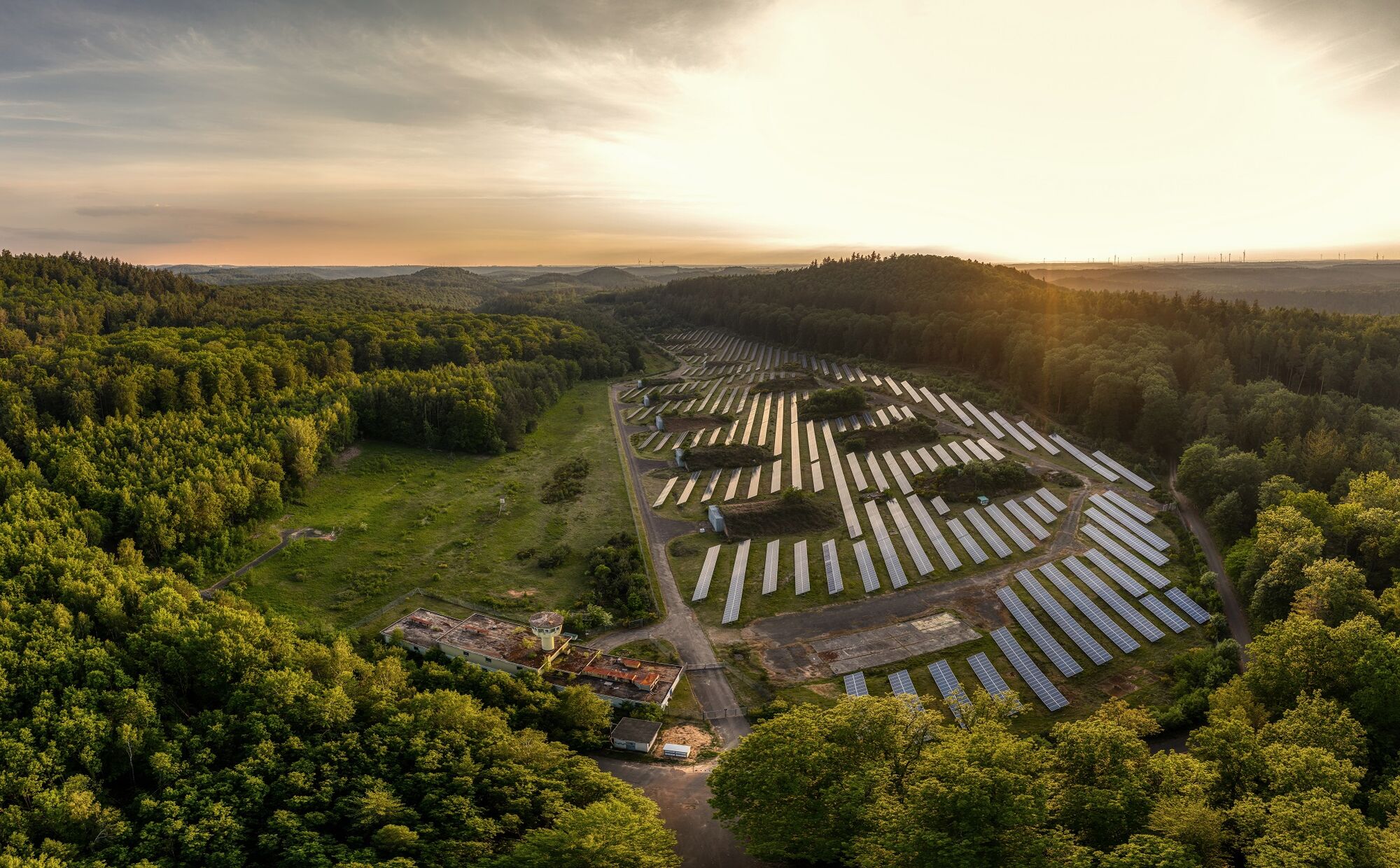
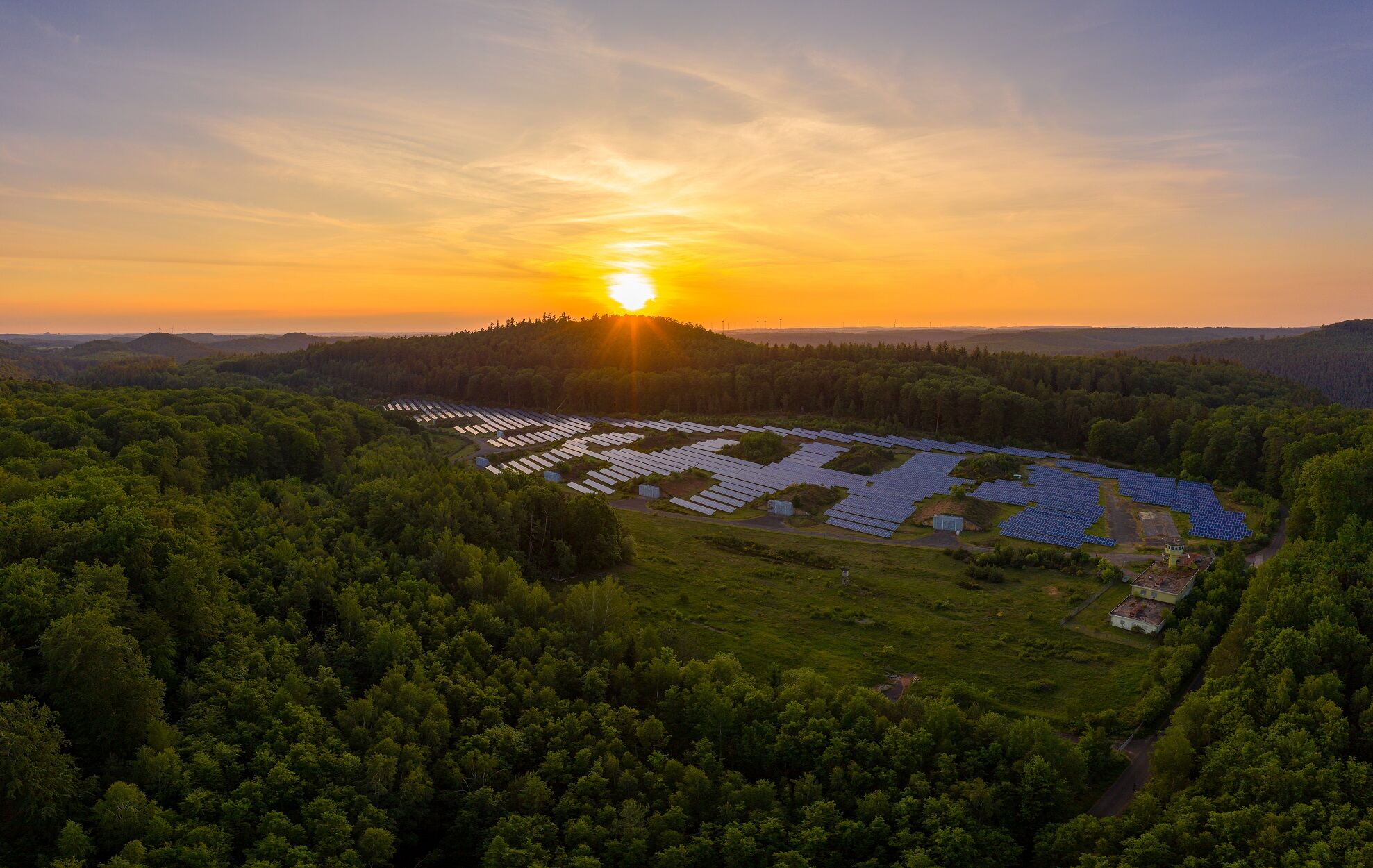
After about 800 meters along paths and trails in a north-easterly direction, you cross the cycle path again and follow a parallel path for about 100 meters, which leads steadily to the north-east. After about 1,300 meters, you finally turn north and reach the Clausen solar park via an asphalt path about 400 meters long. This was built as an exemplary conversion project on the site of a former US chemical weapons depot and went into operation in 2012. With its gigantic output of green electricity (3 million kilowatt hours per year) and its CO2 savings of 2,500 tons per year, it makes the municipality of Clausen more than climate-neutral in purely mathematical terms. At times, the site is appropriately kept free of vegetation by grazing sheep. All in all, a sustainable and exemplary eco-project!
From here, turn right onto a narrow, approximately 300-metre-long path that leads downhill, initially turning from north to southeast. It leads into a slightly wider path, on which you keep to the right for a few meters before turning left onto a natural path. Follow this for around 1,400 meters - steadily downhill - in a northerly direction.
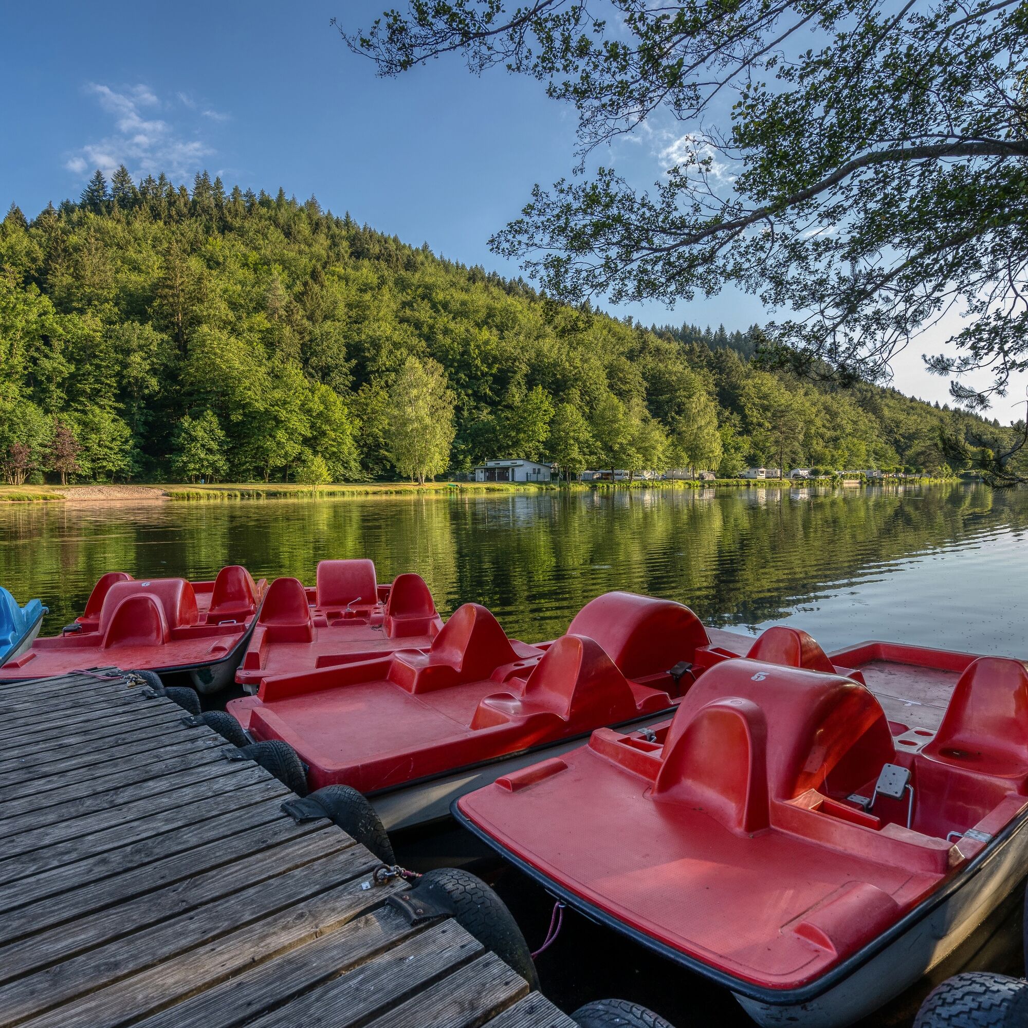
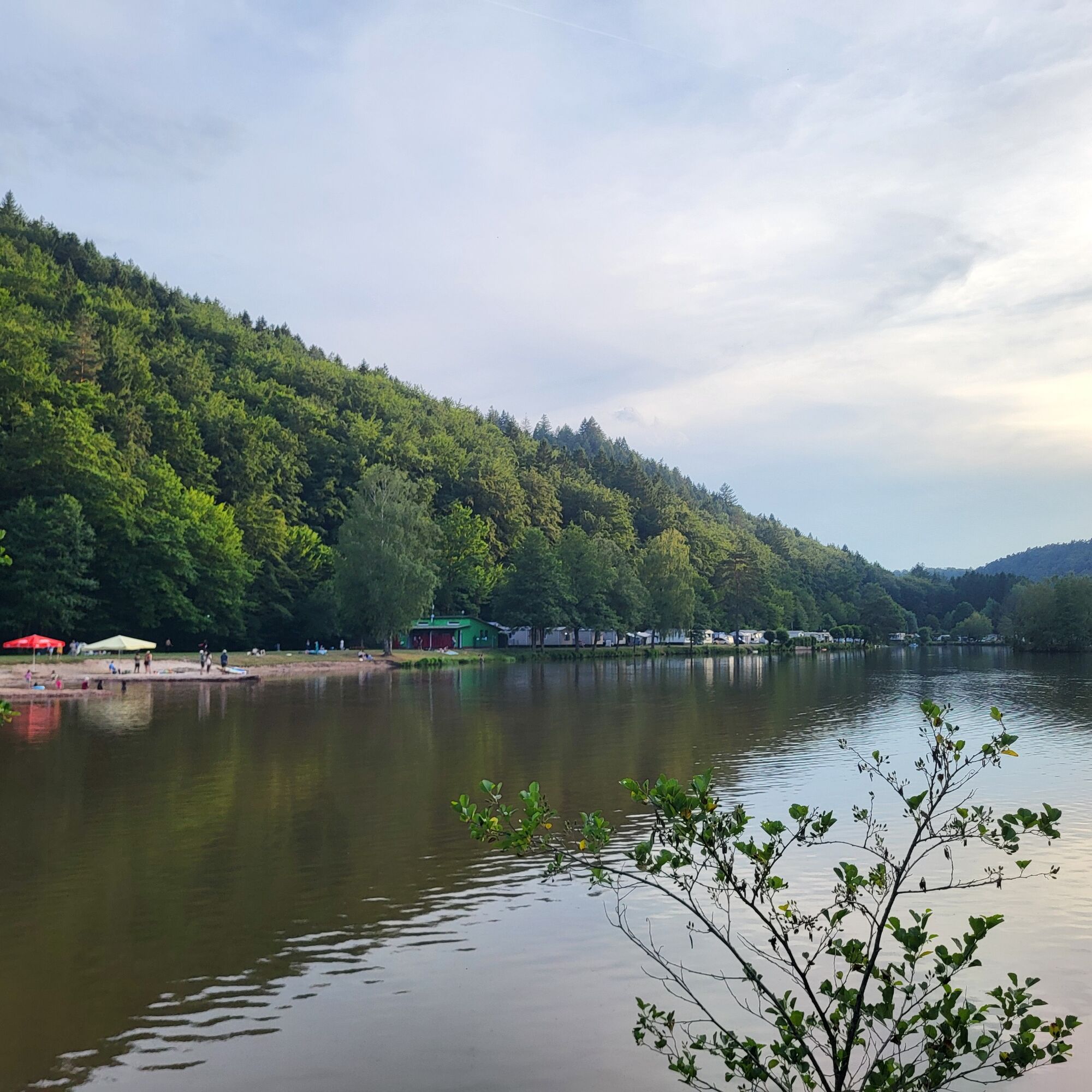
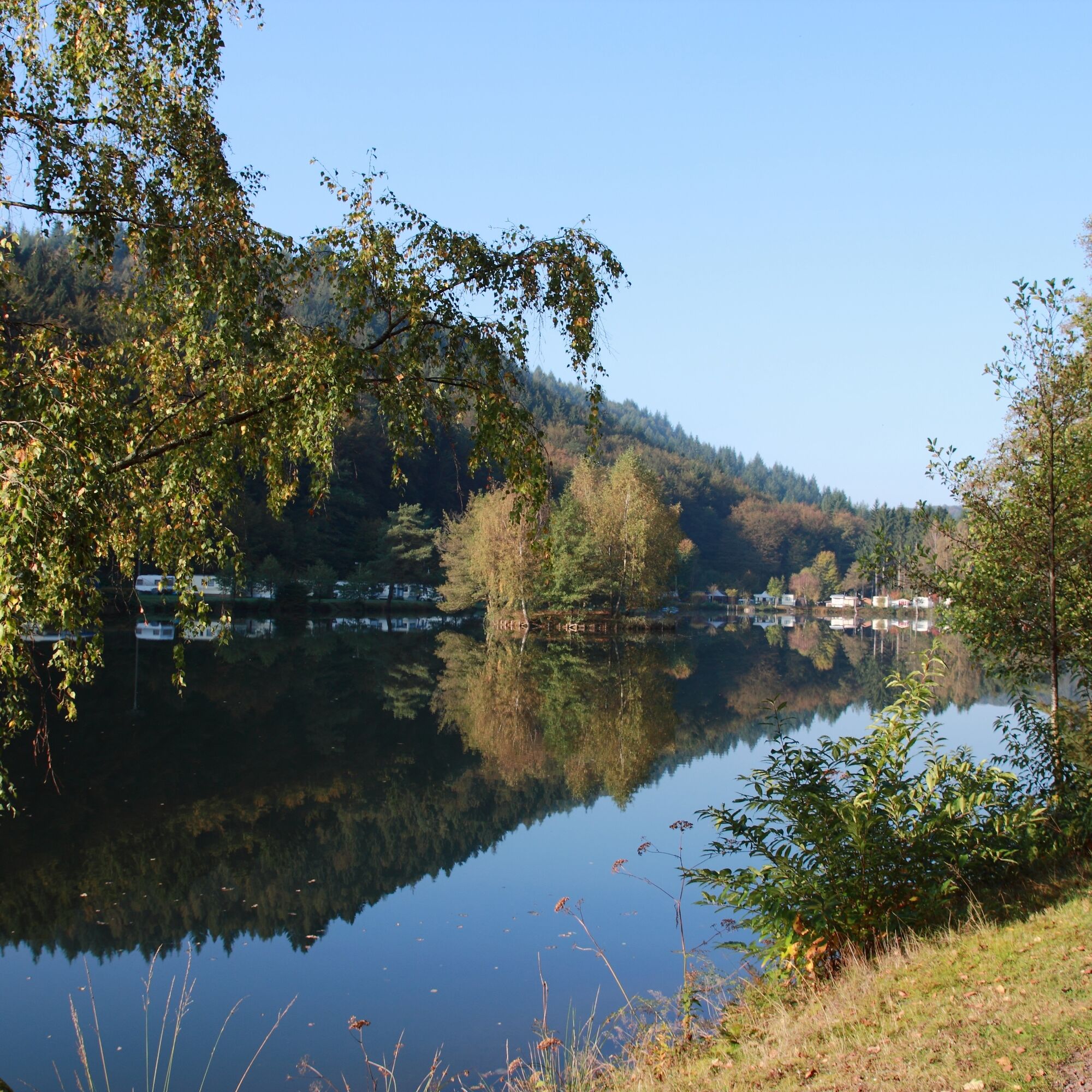
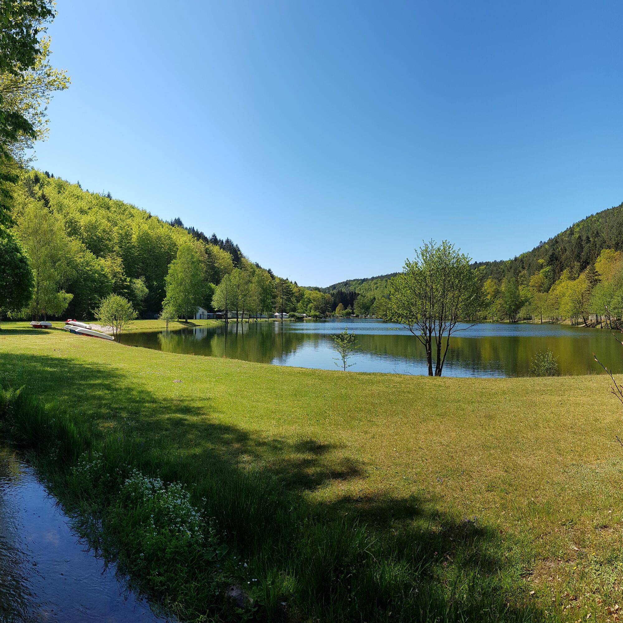
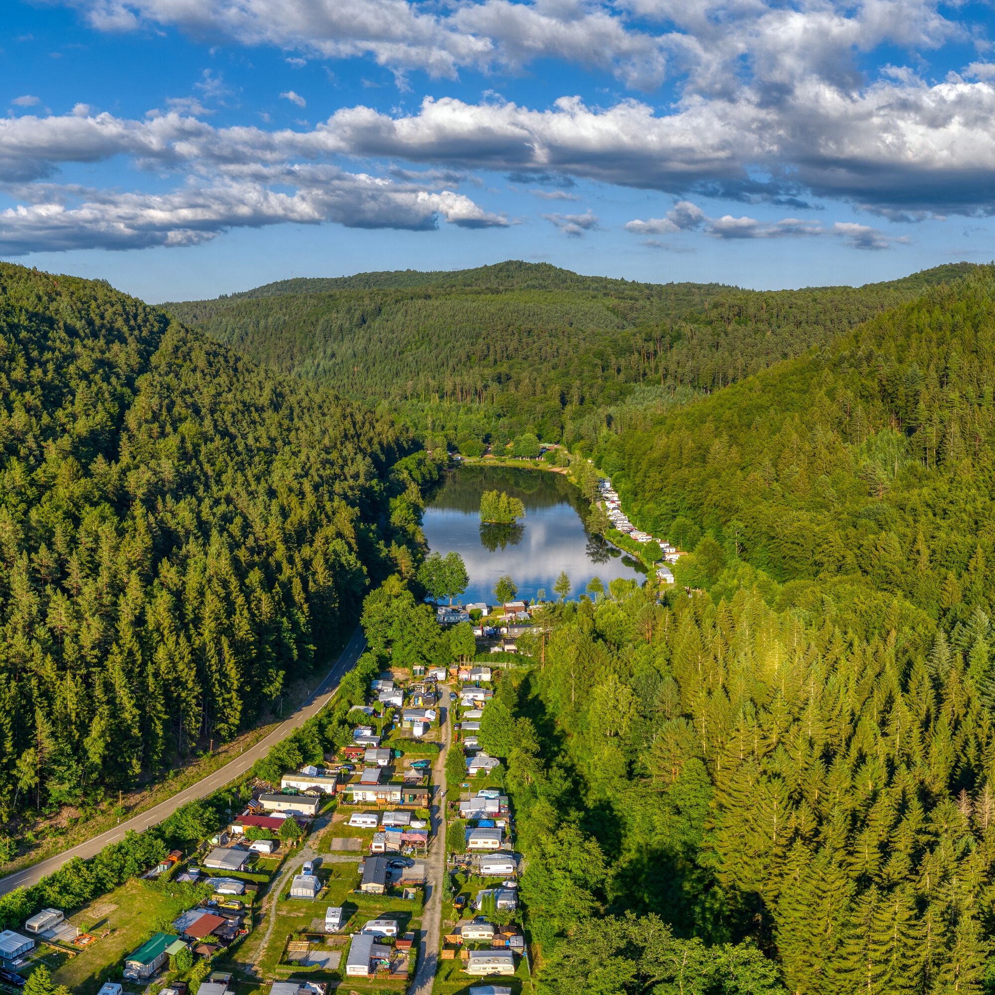
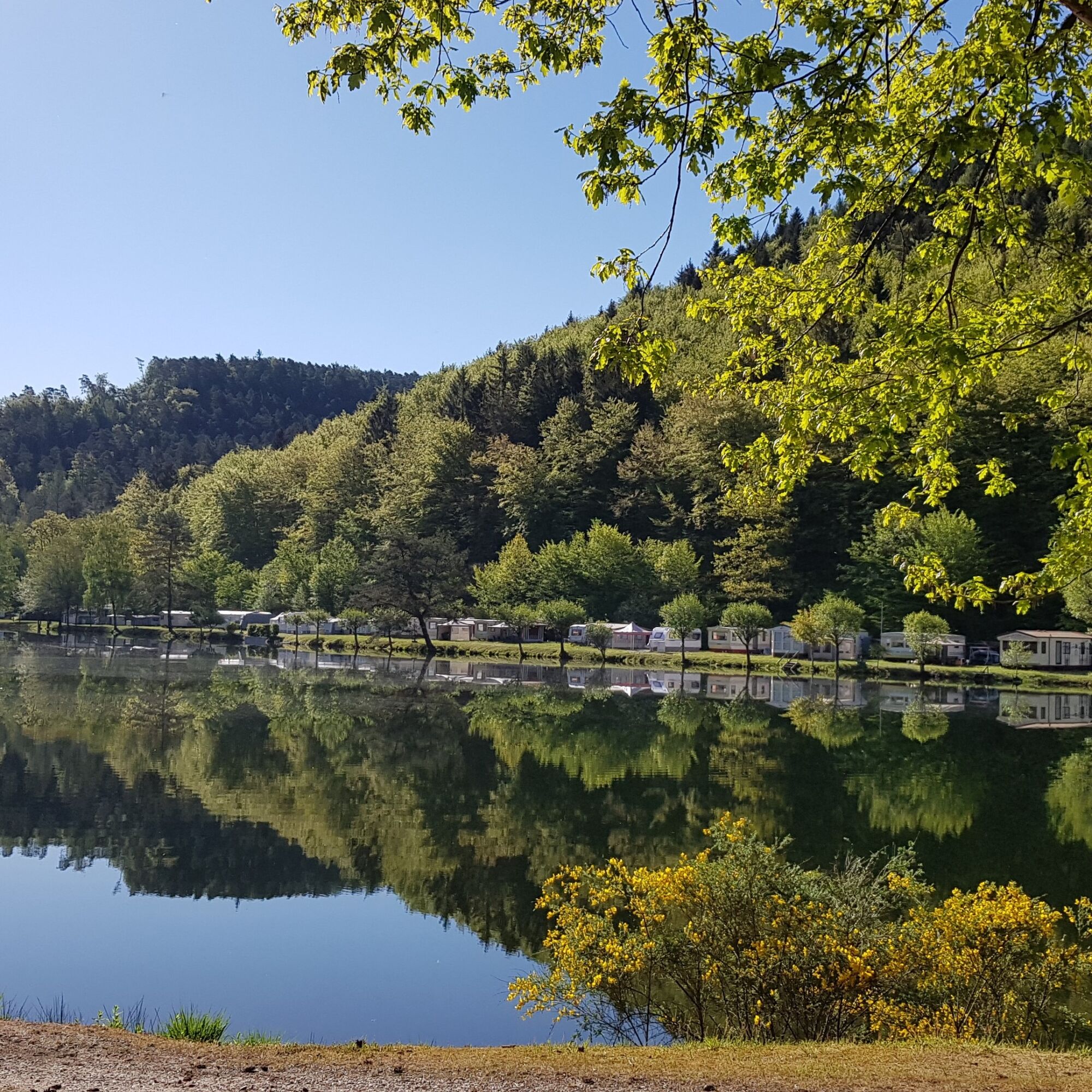
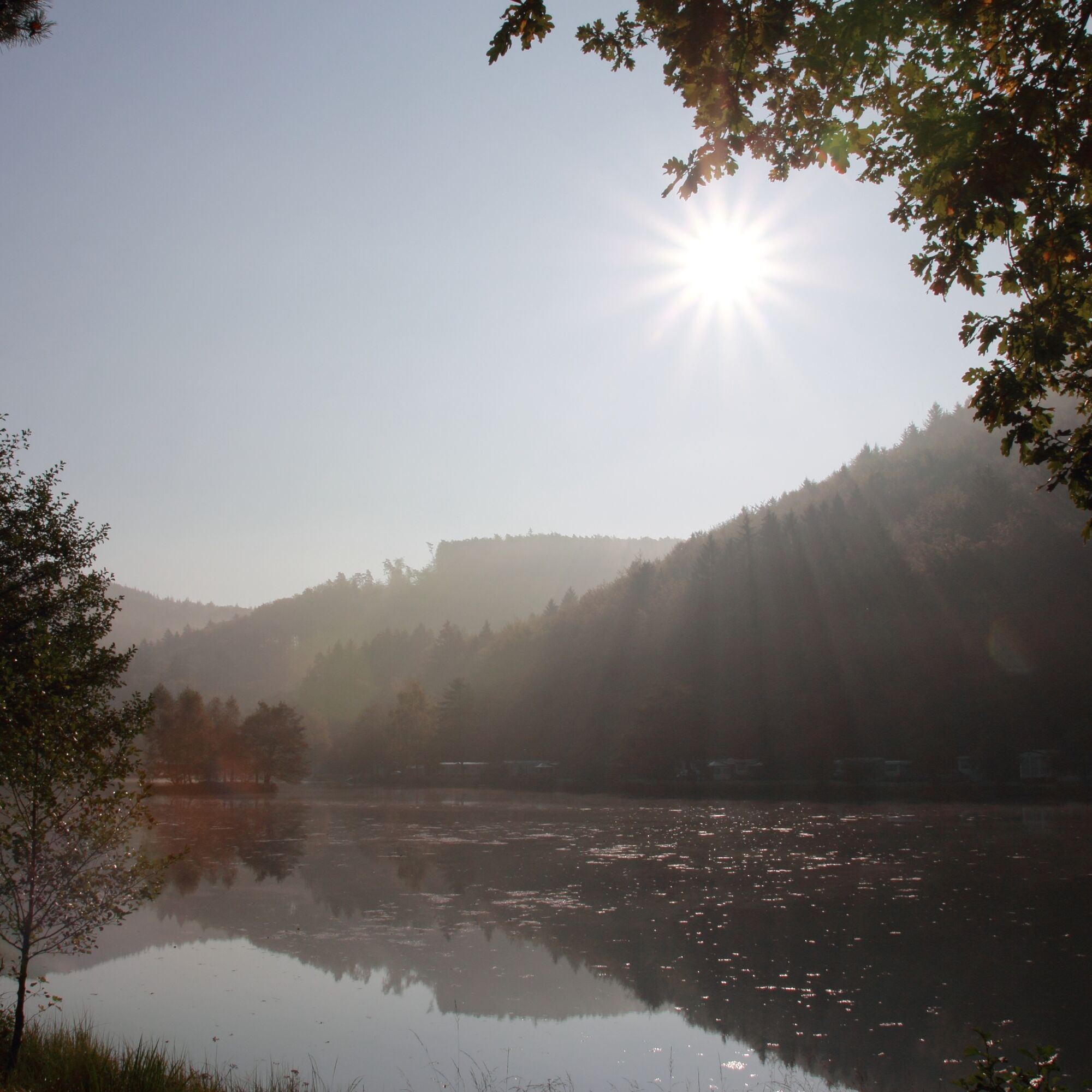
Once in the valley, it then joins a wide path leading west. After about 400 meters, you will reach the Fischerhaus restaurant and the entrance to the beach at the idyllic Clausensee campsite (entrance fee applies). Here - about two thirds of the way along the trail - you can take a break, enjoy the cool water, go pedal boating, rowing or SUPing and/or stop for a bite to eat in the restaurant, its beer garden or under the wine umbrella.
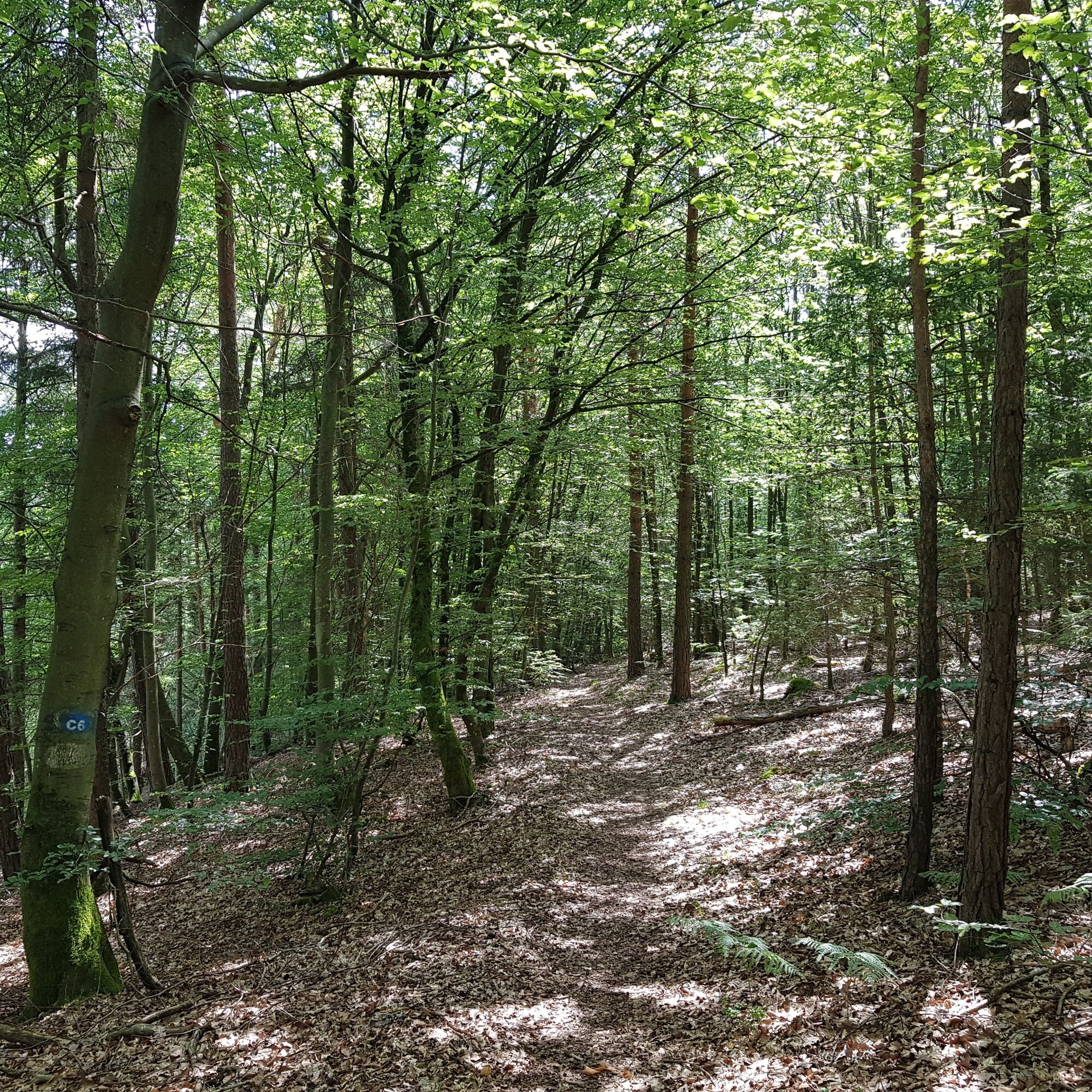
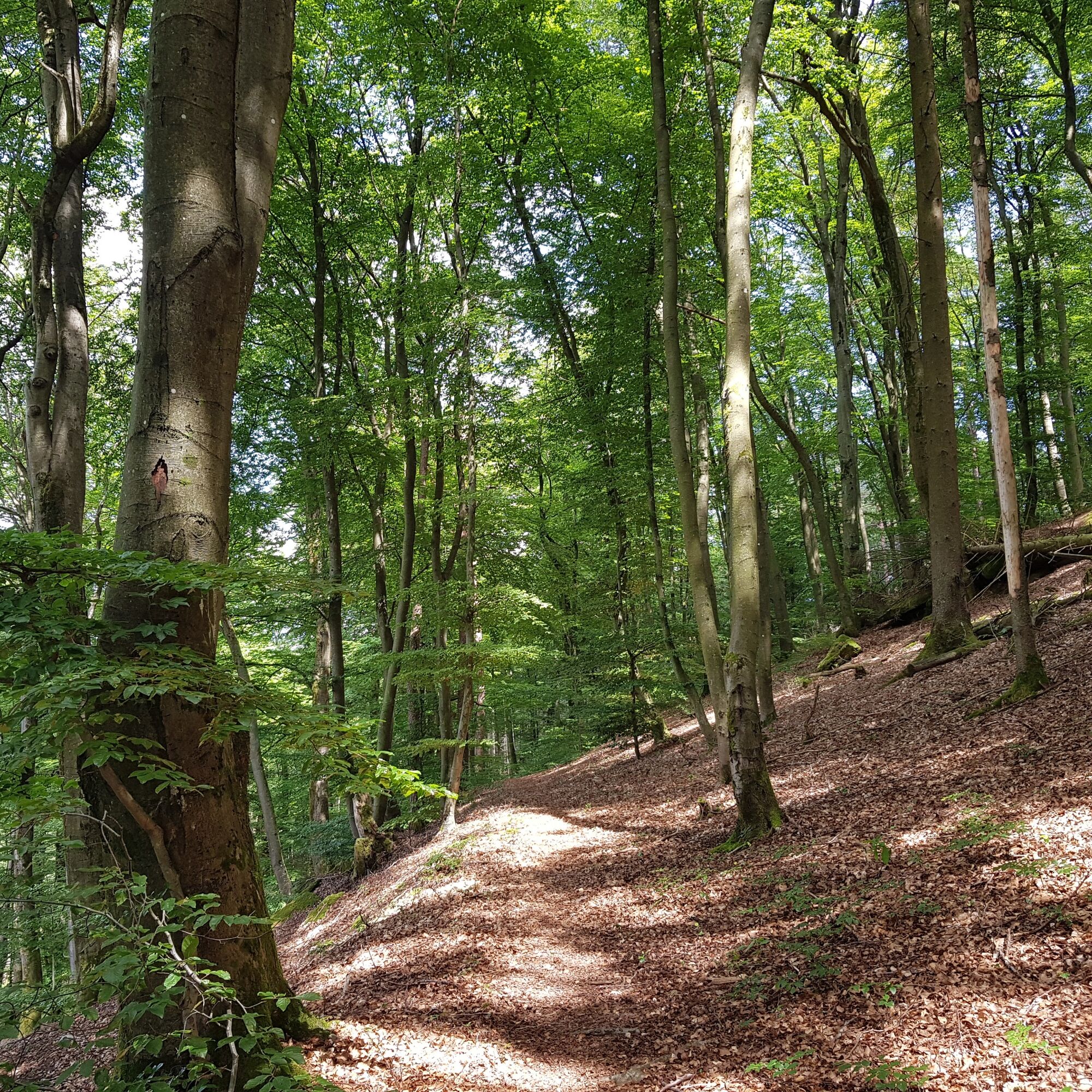
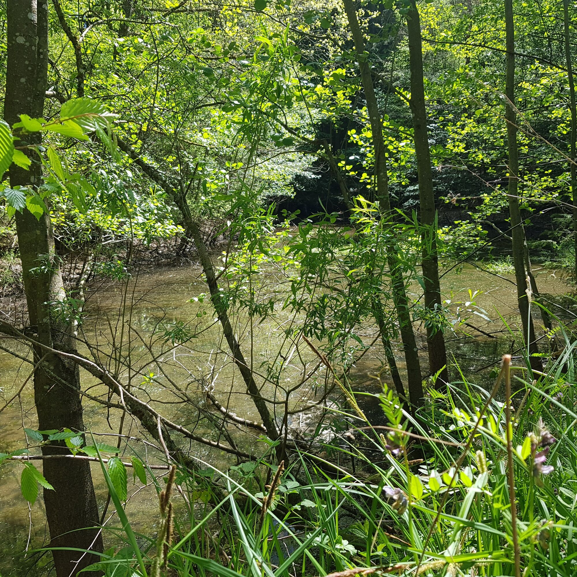
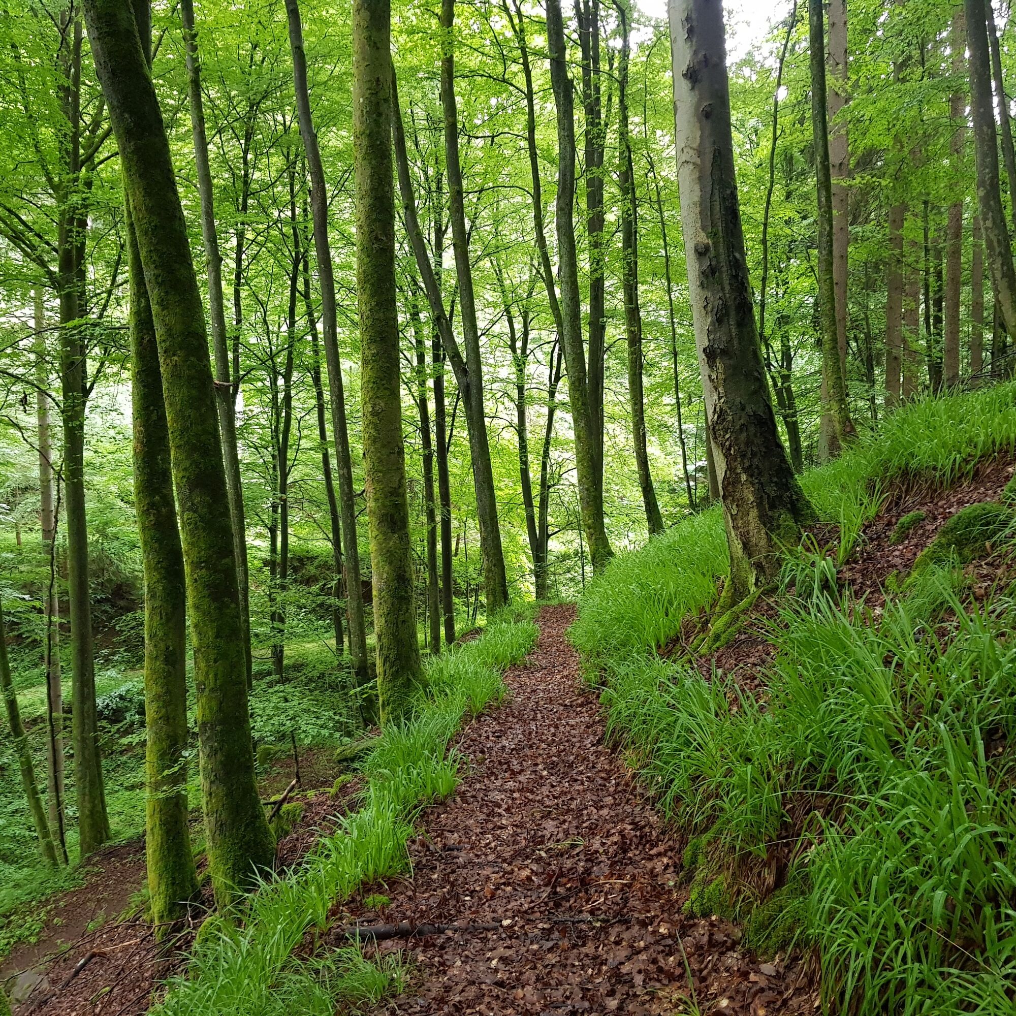
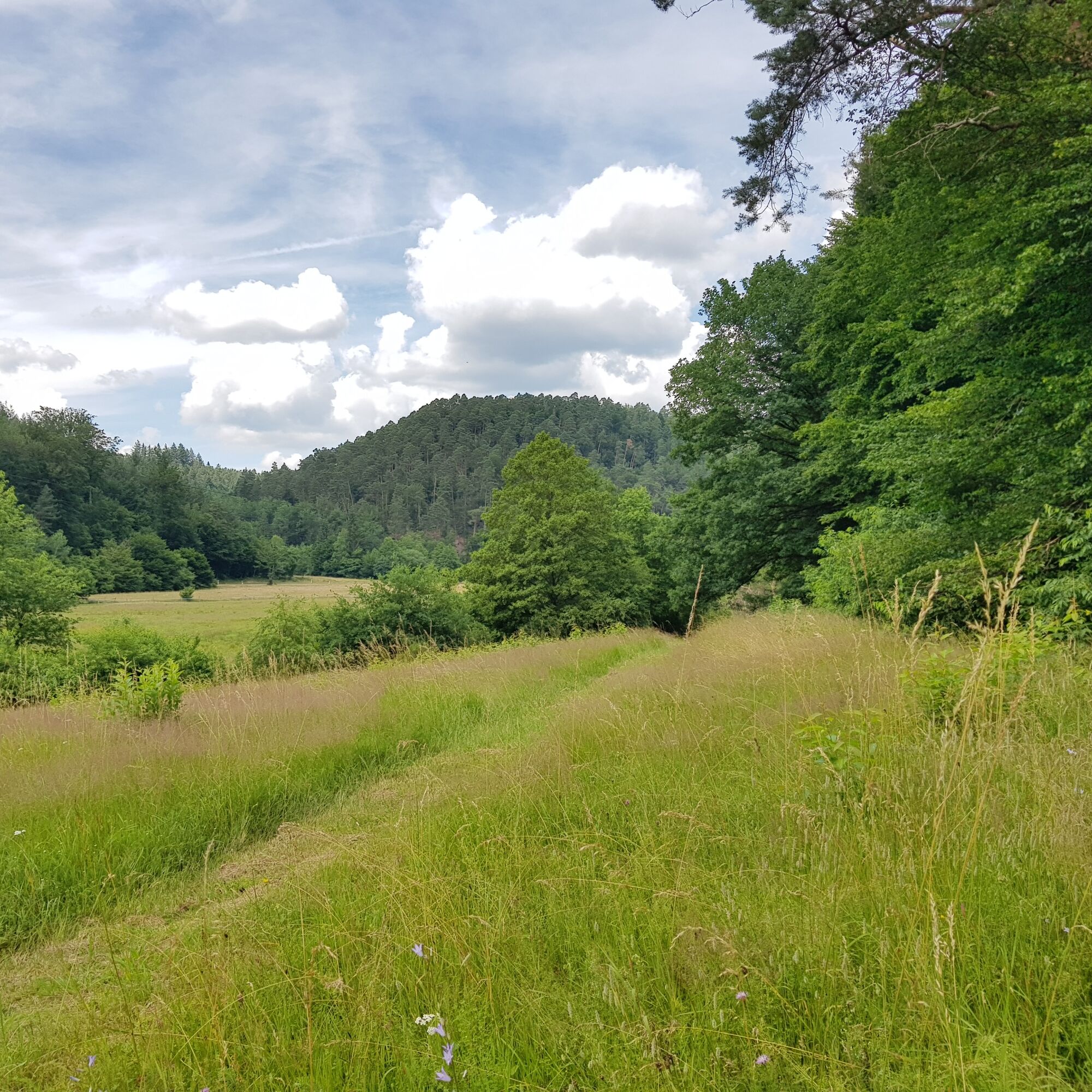
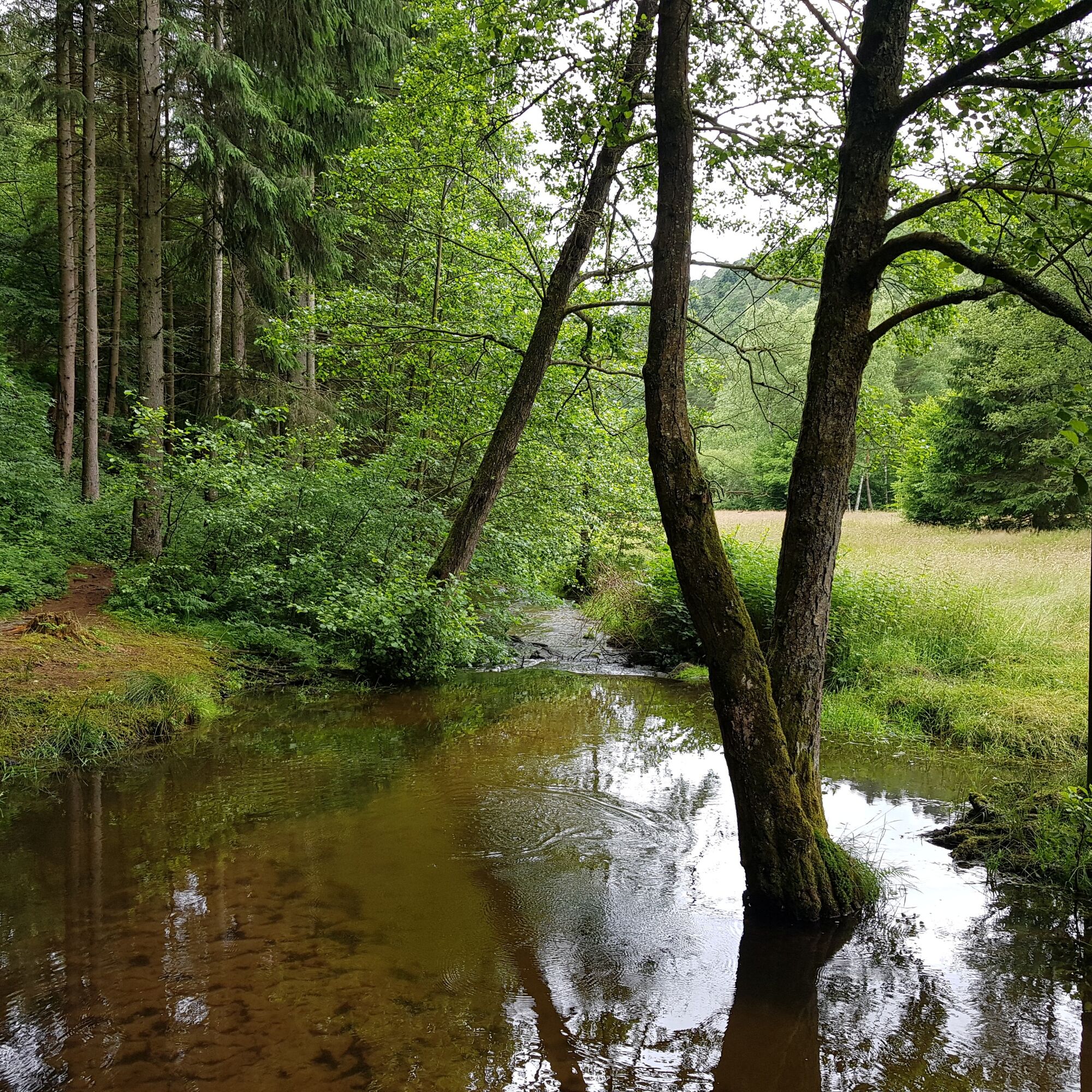
Back on the trail, the route now heads west through the beautiful Schwarzbachtal valley. Again and again you can catch glimpses of the romantic Schwarzbach stream with its riverside plants and the extensive valley with its marshy meadows. After around 2,500 meters, directly after the PWV Waldfischbach hut, which is not open to the public, you finally cross the forest road to Clausen and - past the small ponds of the Hollertal valley - turn left onto a narrow path after a further 200 meters. This leads through beautiful forests along the mountain slope for about 700 meters steeply up to the first houses on Schwarzbachstraße.
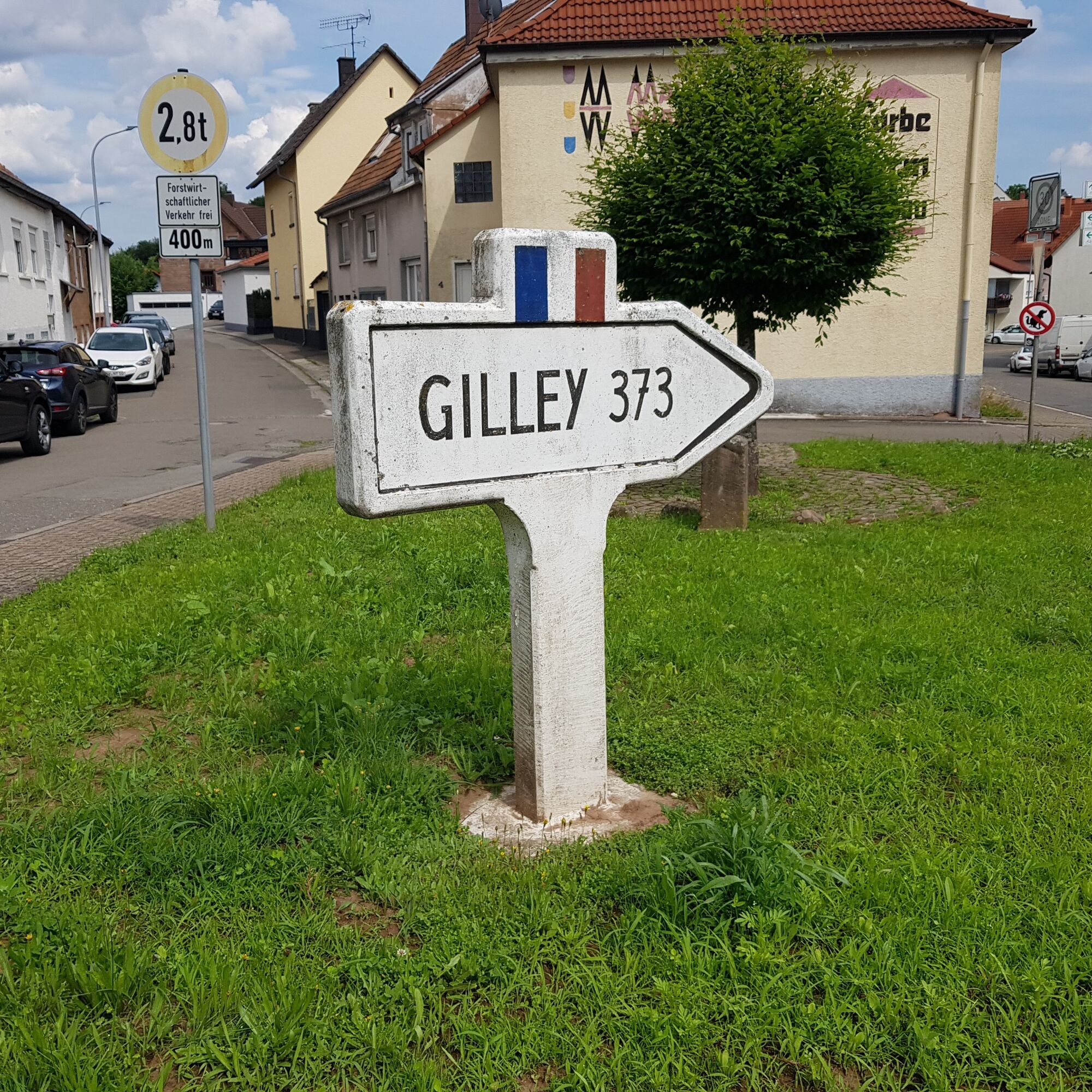
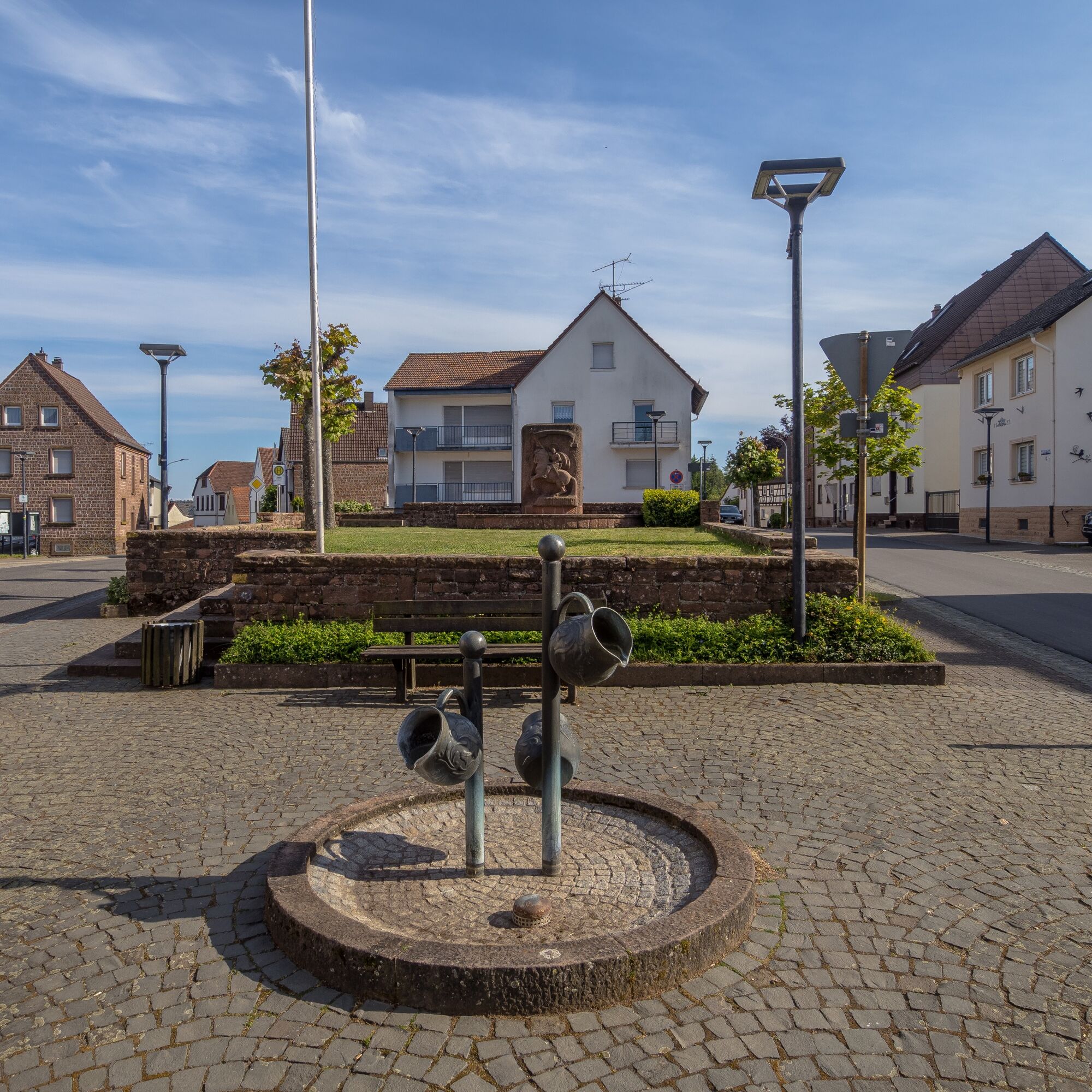
Once back in Clausen, it is only a few minutes via Schwarzbachstrasse and the main road - past the Gilley signpost, which commemorates the partnership with the French community - back to the starting point at the "Hawebrunnen".If you like and have an appetite or thirst, you can also stop off at the nearby pizzeria and restaurant "Castello " and round off this all-round successful hike in comfort.
Da
Da
The Clausen solar park is secured by a fence to protect the expensive solar modules and the technology. Please do not climb over it!
Hiking on nature trails and paths - Despite the markings, for safety reasons we recommend that you always have a suitable hiking map with you so that you can quickly find your way to a safe area in the event of a thunderstorm or emergency, for example. Please be aware of trail closures and detour!
Particularly in the fall, you should also be aware that leaves lying on the ground can hide uneven surfaces, roots, stones or holes in the path. After thunderstorms or rainstorms, trees can still fall over or branches can fall down. Especially in adverse weather conditions, muddy and slippery passages can occur on near-natural paths. This type of path impairment must always be expected on hikes. If you are of the opinion that certain sections of the trail are not passable, it is better to avoid them.
In addition, not all rocks or slopes are secured with ropes or railings. Sure-footedness is required in some places. Rocks should not be climbed, especially by children, as the brittle sandstone in particular poses a risk of falling for non-professionals. Never climb over railings and fall protection (danger to life).
Note - We always endeavor to announce all closures that occur due to forestry work or hunting parties on this platform. Nevertheless, there are situations in which hiking trails are closed and we may not have been informed. Should you unexpectedly encounter such a trail closure or detour, we ask you to follow the instructions for your own safety.
B270, exit Waldfischbach-Burgalben, main road, then turn right into Alleestraße, follow L498 to Clausen, this becomes the main road in the town center and leads directly to the square with the "Hawebrunnen" in the town center, from where the tour starts.
Follow the L482 coming from Pirmasens through Rodalben (first Pirmasenser Straße, then Lindersbachstraße), then turn right towards Clausen/Donsieders. At the Donsieders exit, the L482 automatically joins the L498, which becomes the main road in Clausen and leads directly to the square with the "Hawebrunnen" fountain in the center of the village, from where the tour starts.
From there, bus route 248 Waldfischbach-Burgalben - Pirmasens, bus stop Clausen Denkmal (timetable). In addition, there is also the call cab line 2571 from the bus stops in the area of the Rodalben municipality.
Please only park in the designated parking spaces and make sure you keep access routes for emergency vehicles and work routes in the forest clear. For overnight stays in campers and caravans, please only use the designated camper van sites.
T2
Am Rathaus 9, 66976 Rodalben
Tel. 06331/234-180
E-mail: tourist@graefensteiner-land.de
Travel guide page Gräfensteiner Land
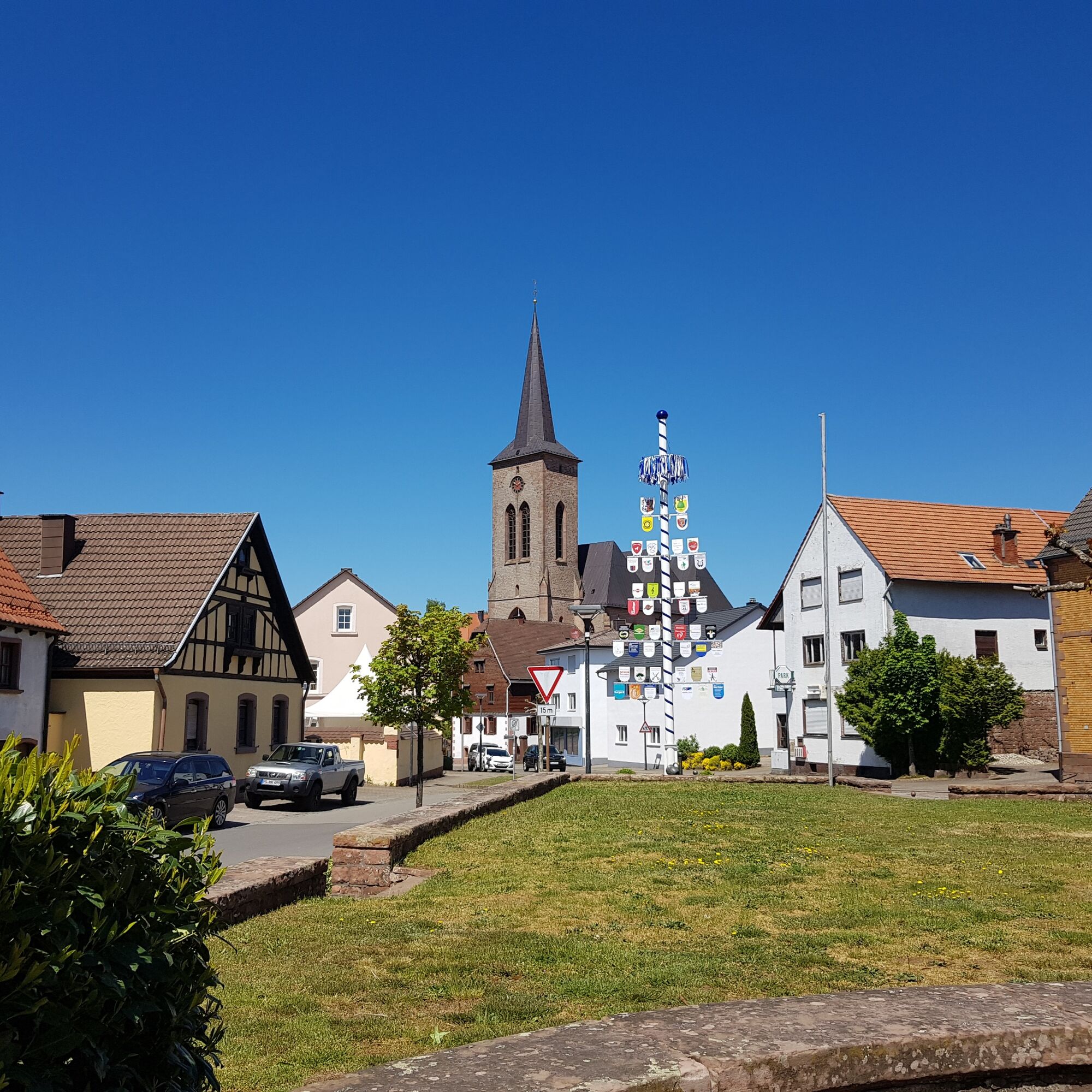
Clausen town center with Hawebrunnen fountain
Kreuzberg with chapel and Stations of the Cross
Barbecue area and Busche-Brunnen shelter
Peace cross
Pizzeria & Restaurant Castello
Fisherman's house at Clausensee
Hiking arena Palatinate Forest-North Vosges
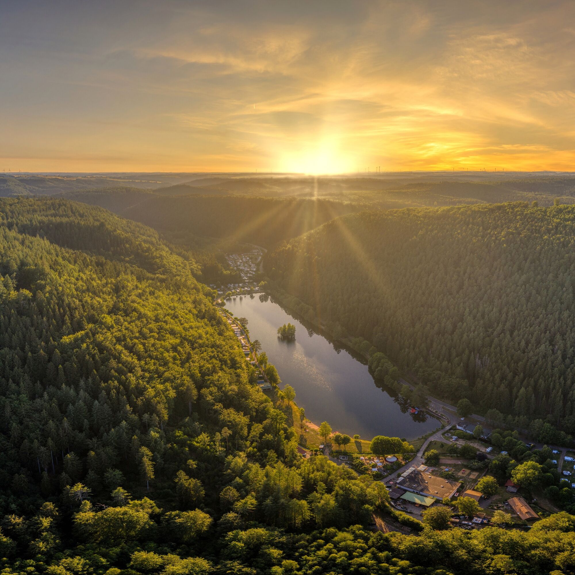
Pack your swimming trunks! That could be the motto. The idyllic Clausensee lake right on the way offers the opportunity to swim and stop for a bite to eat.

Priljubljeni izleti v okolici
-
4.8
Dahner Felsenpfad
srednjaPohodništvo 13.2 km -
4.5
Forsthaus Beckenhof - Pirmasens - Waldhaus Starkenbrunnen - Lemberg
srednjaPohodništvo 13.6 km -
4.8
Lemberg - Salzwoog - Schwamborn-Quelle - Teufelstisch
srednjaPohodništvo 11.9 km -
3.8
Dahn - Lachberg - Vogelsberg
srednjaPohodništvo 18.7 km -
3.7
Eiderbachtal - Hofstätten - 7 Buchen - Annweiler Forsthaus - Eiderbachtal-Parkplatz
srednjaPohodništvo 11.3 km -
5.0
Lembergblick - Rothenberg - Mühlberg - Waldhaus Drei Buchen
srednjaPohodništvo 9.72 km -
4.5
Schusterpfad
srednjaPohodništvo 16.4 km -
4.5
Erfweiler - Hahnberg - Kahlenberg - Schindhard
srednjaPohodništvo 14.6 km -
5.0
Rodalber rock hiking trail
težkoPohodništvo 44.3 km -
4.7
Tour D of the PWV Rodalben
srednjaPohodništvo 9.79 km
Pohodništvo in sledenje


Ne zamudite ponudb in navdiha za naslednje počitnice
Vaš e-poštni naslov je bil dodan na poštni seznam.


