




Cow rock tour Rodalben

Stopnja težavnosti: T2
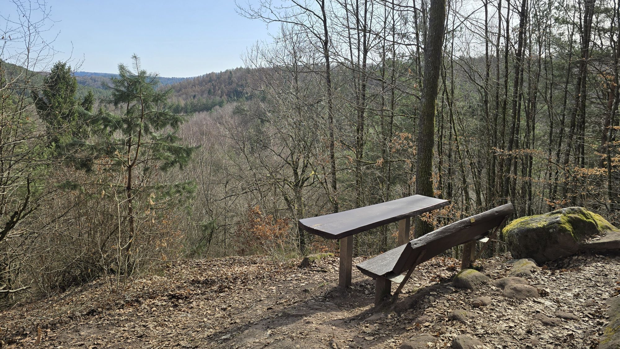
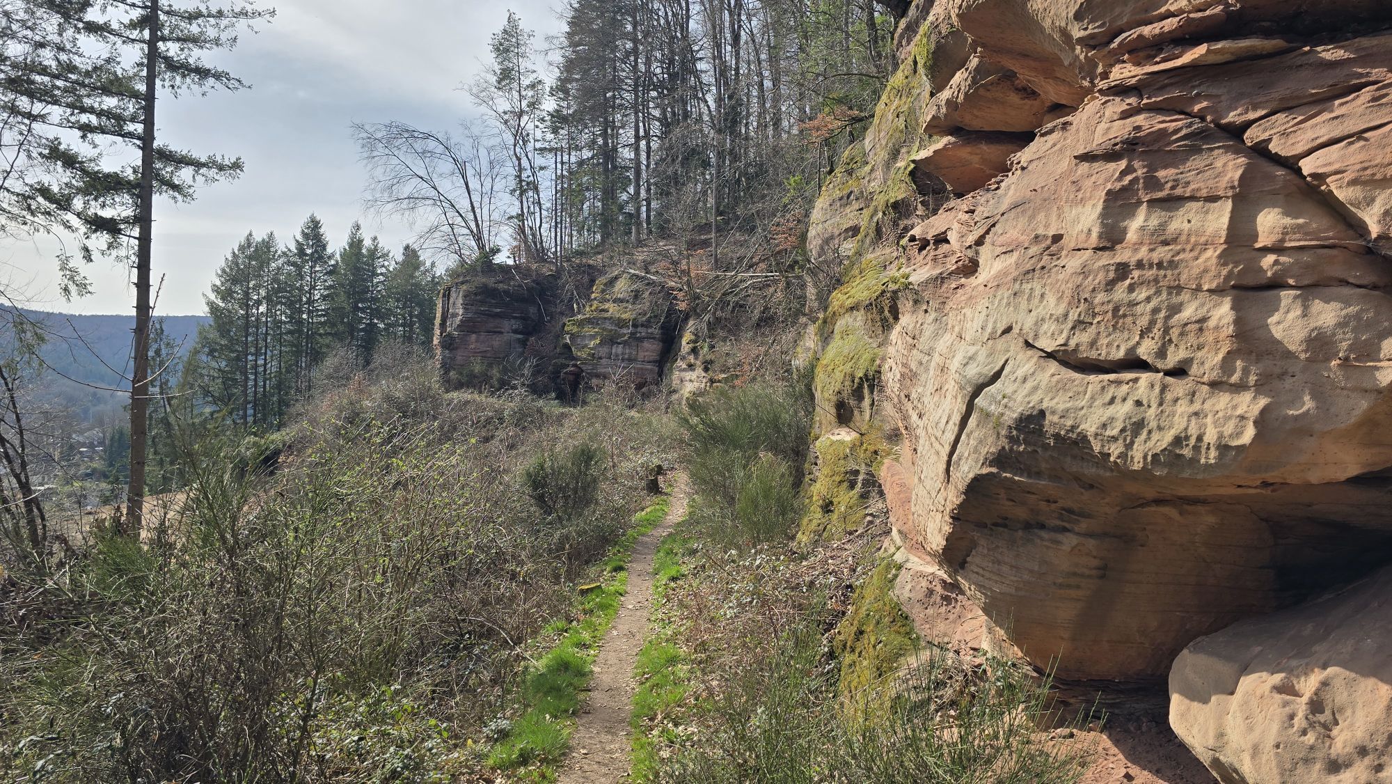
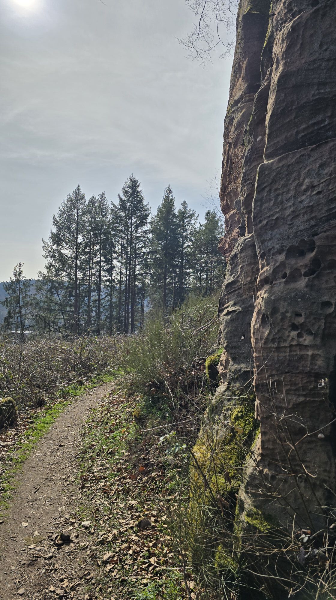
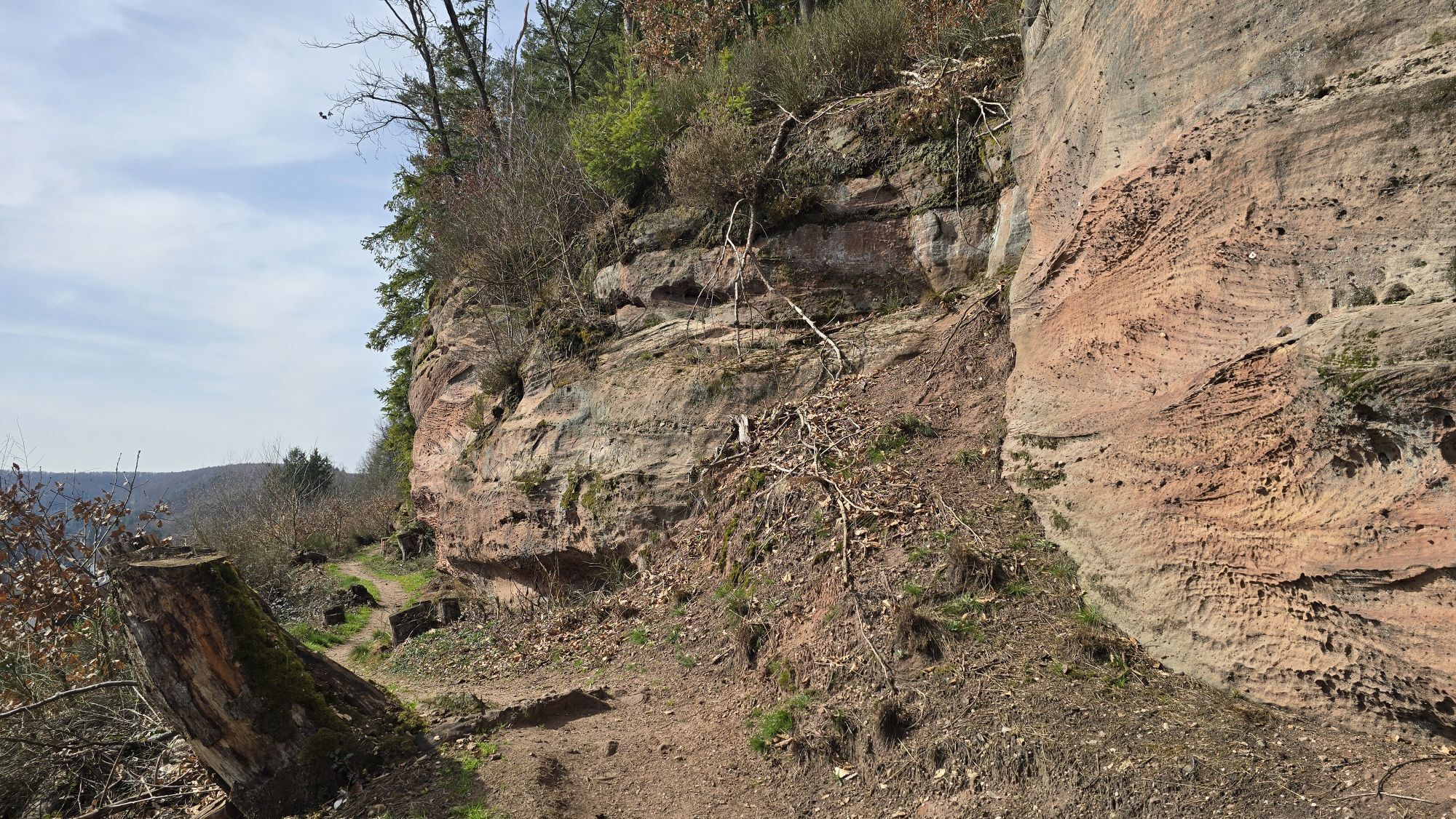
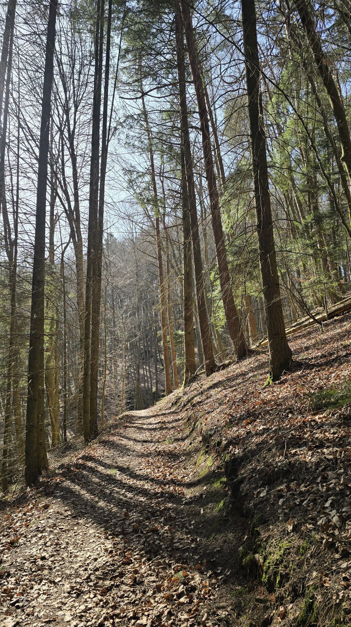


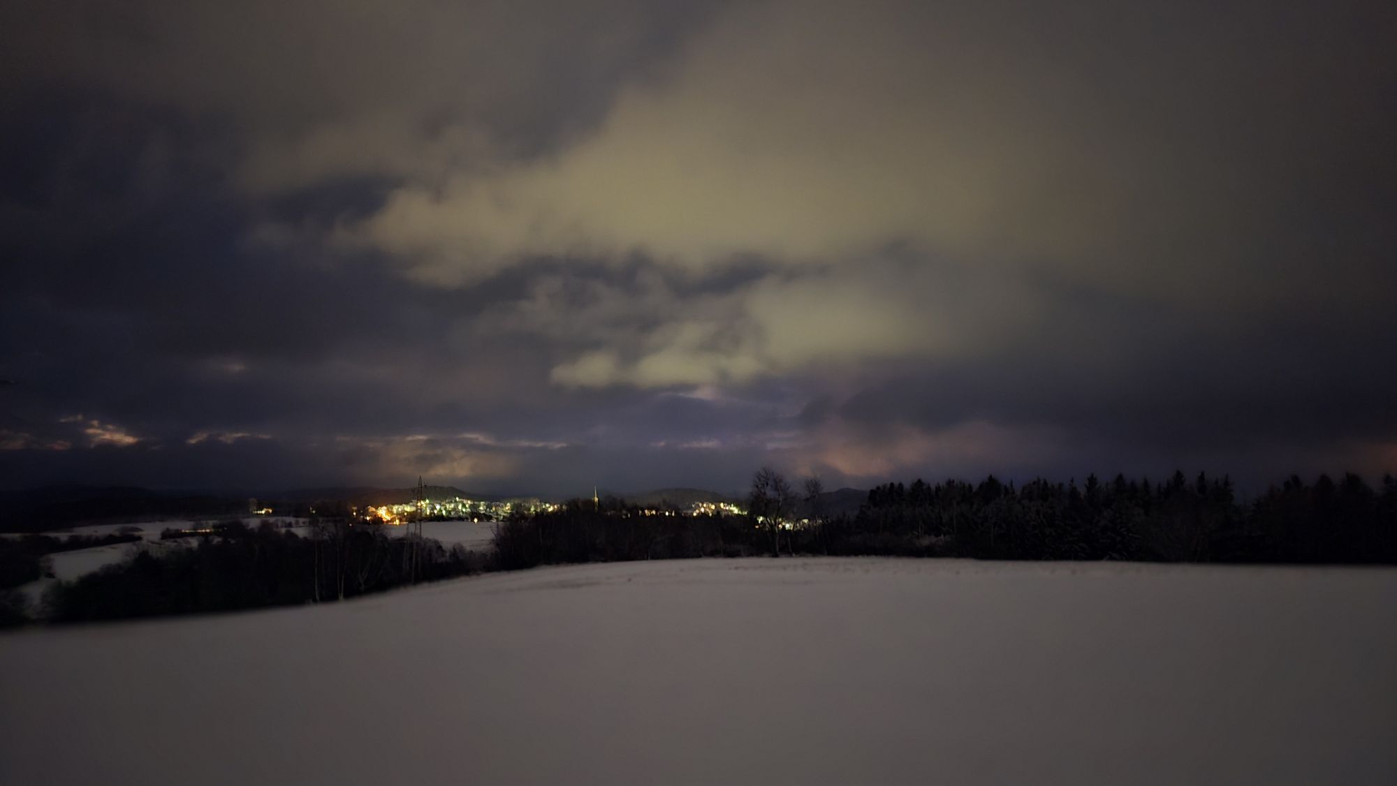
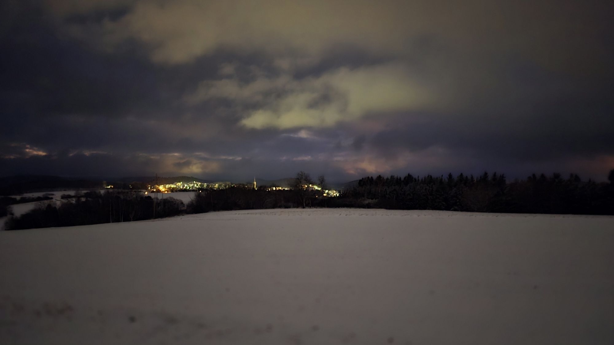

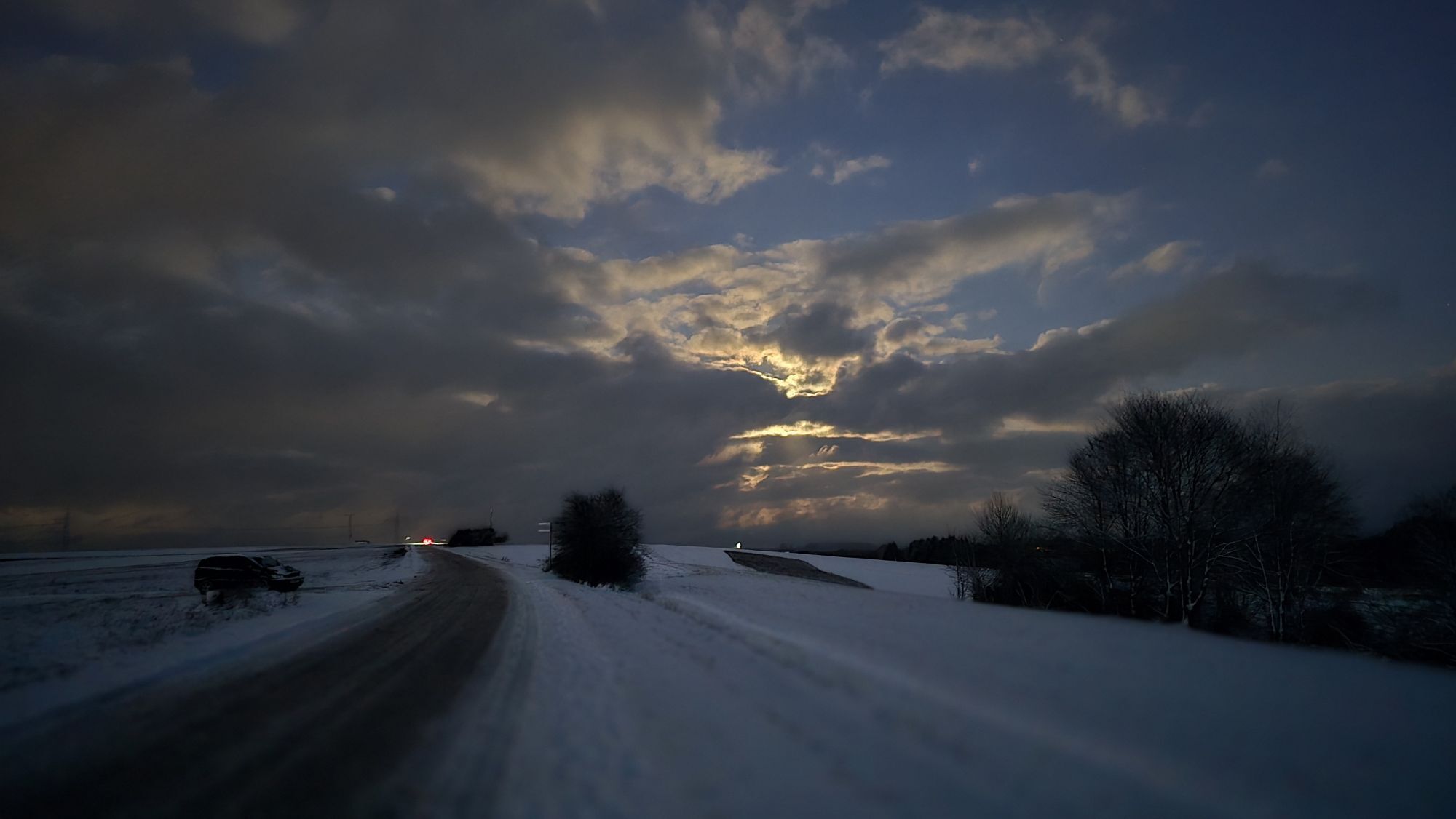
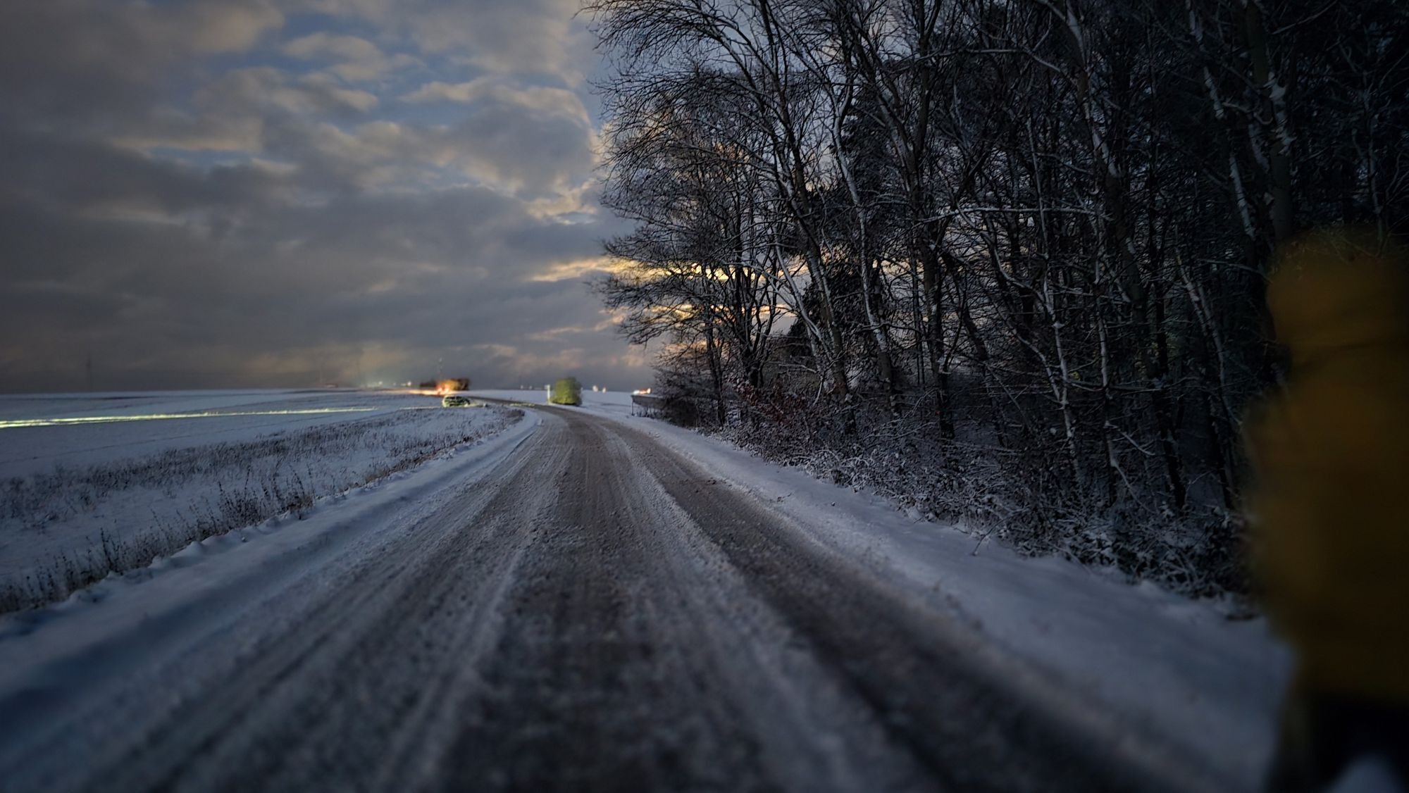
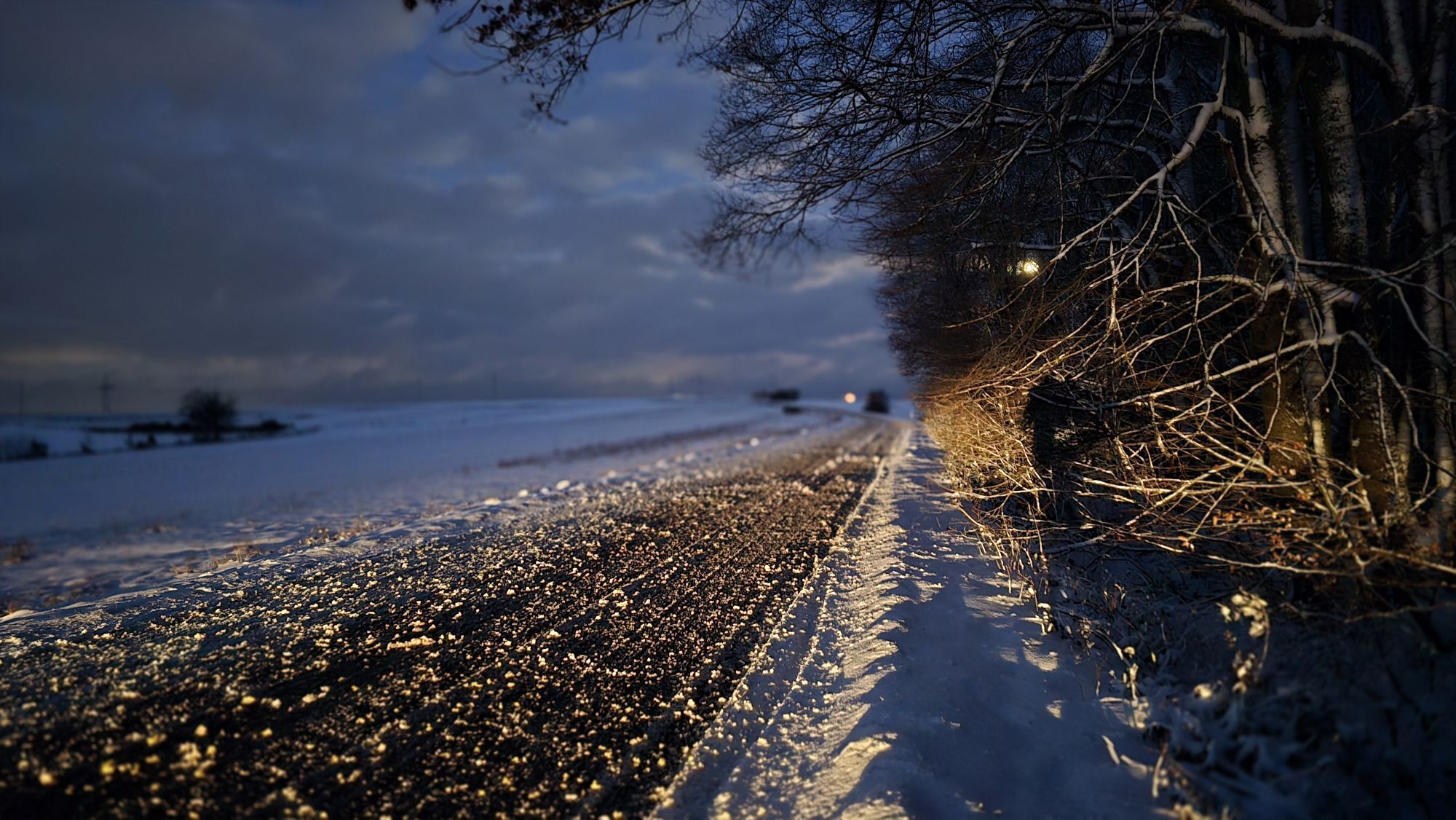
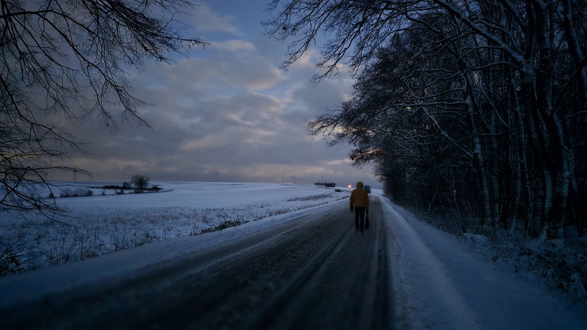
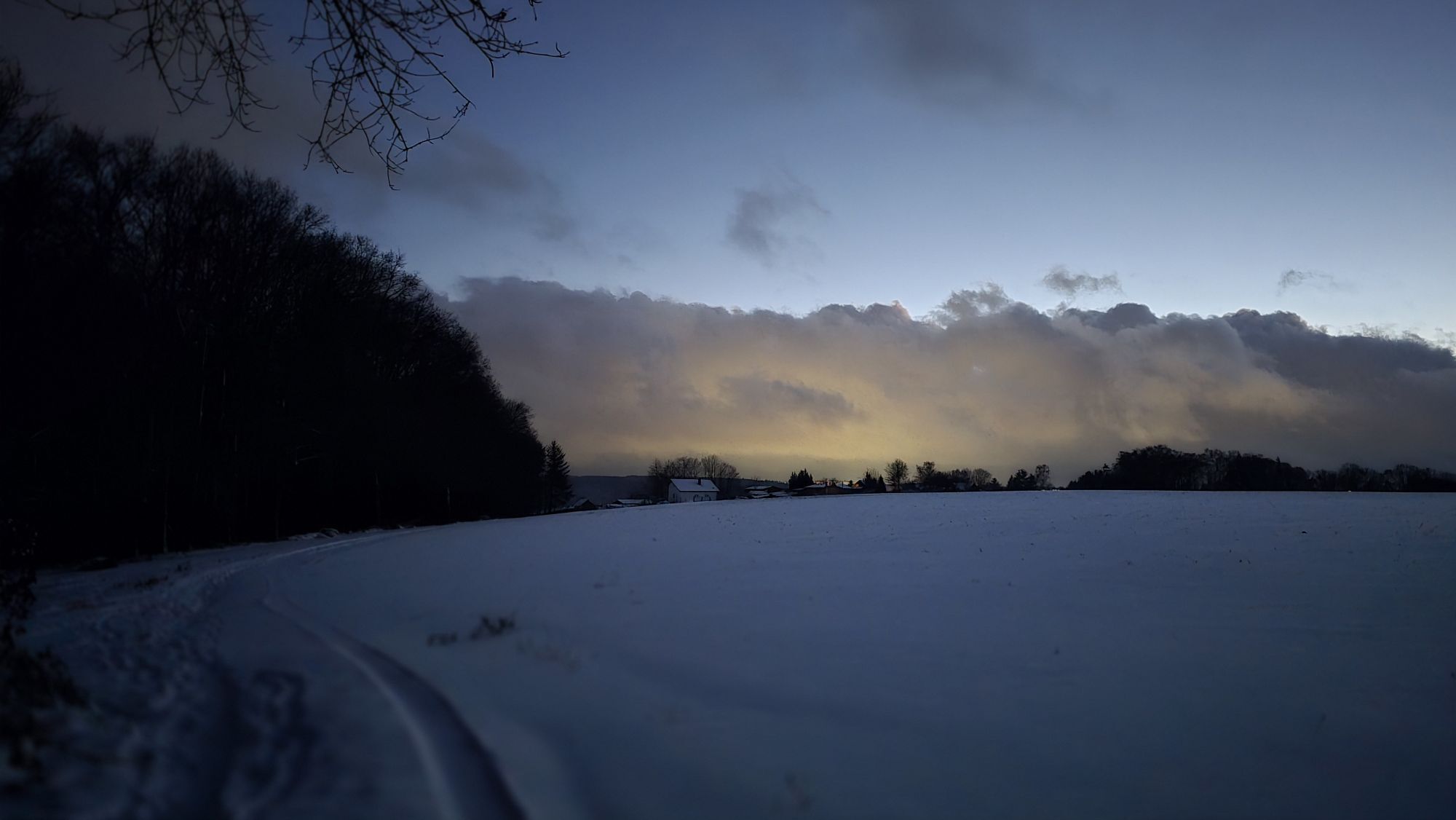

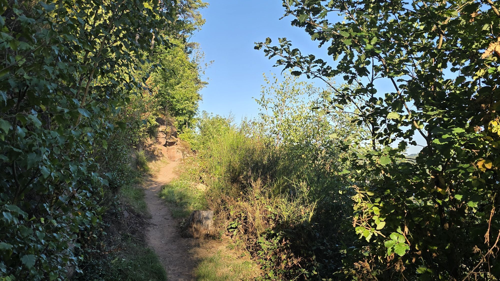
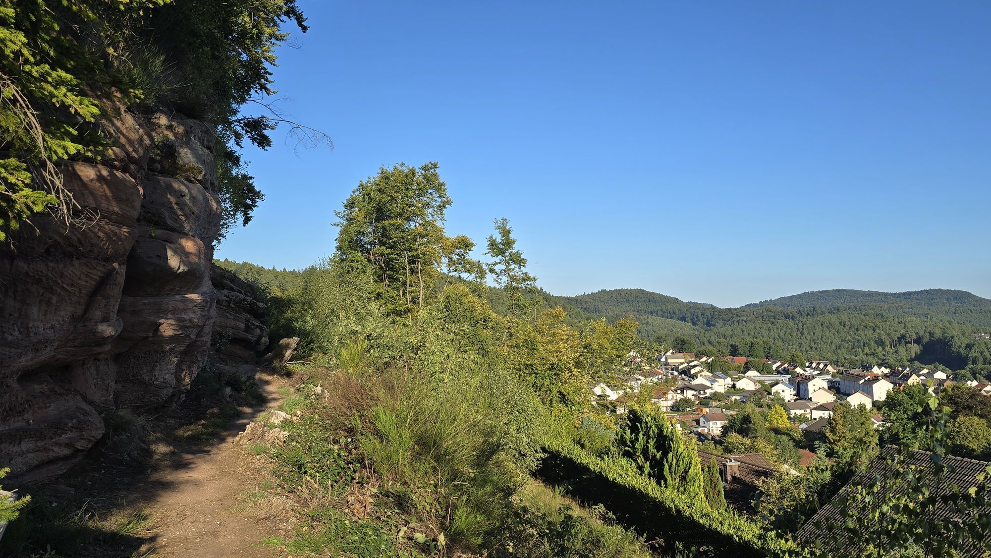
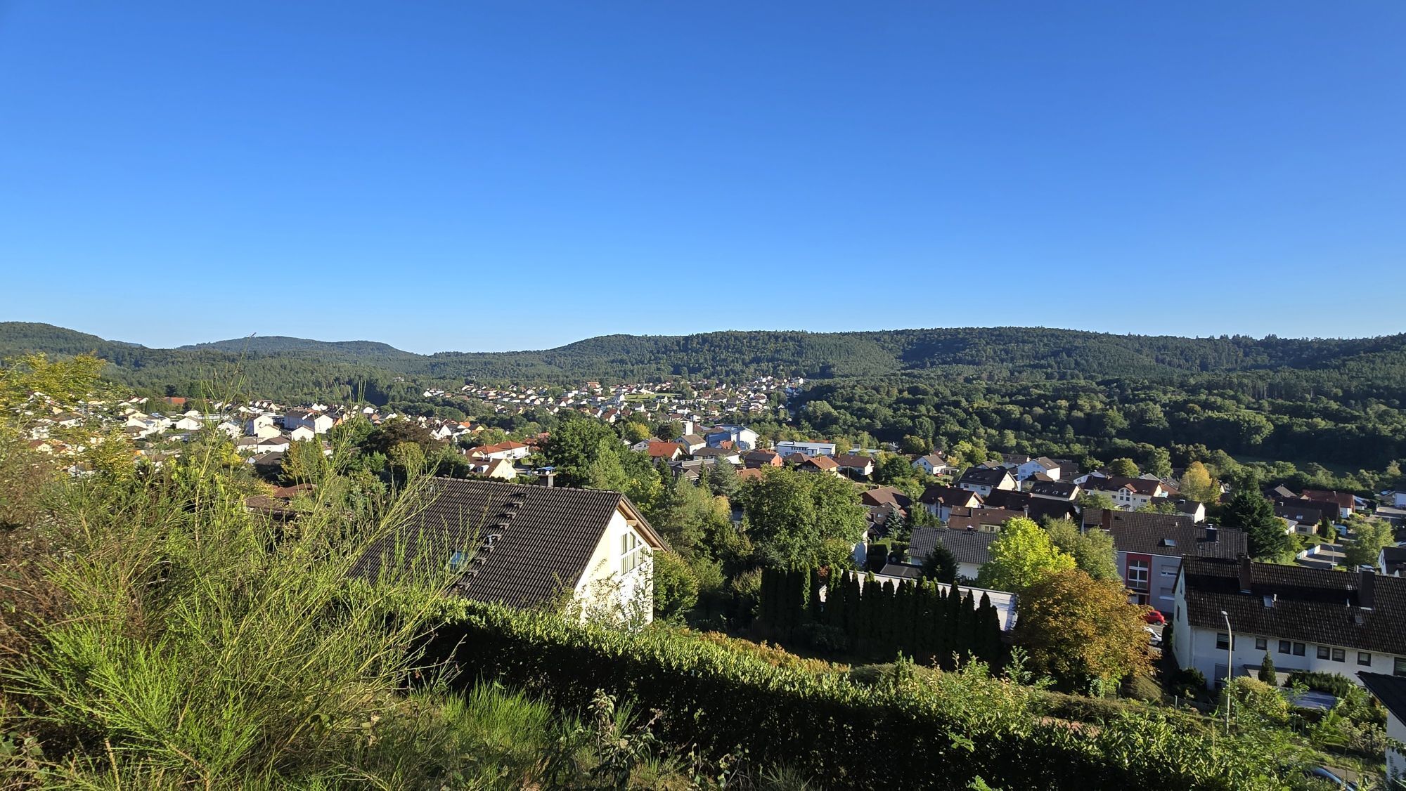
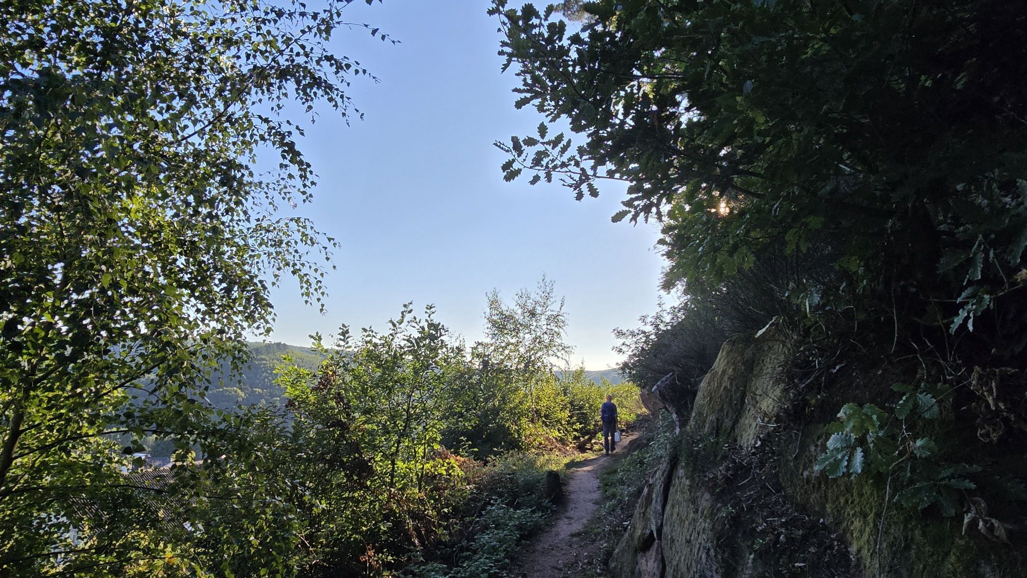
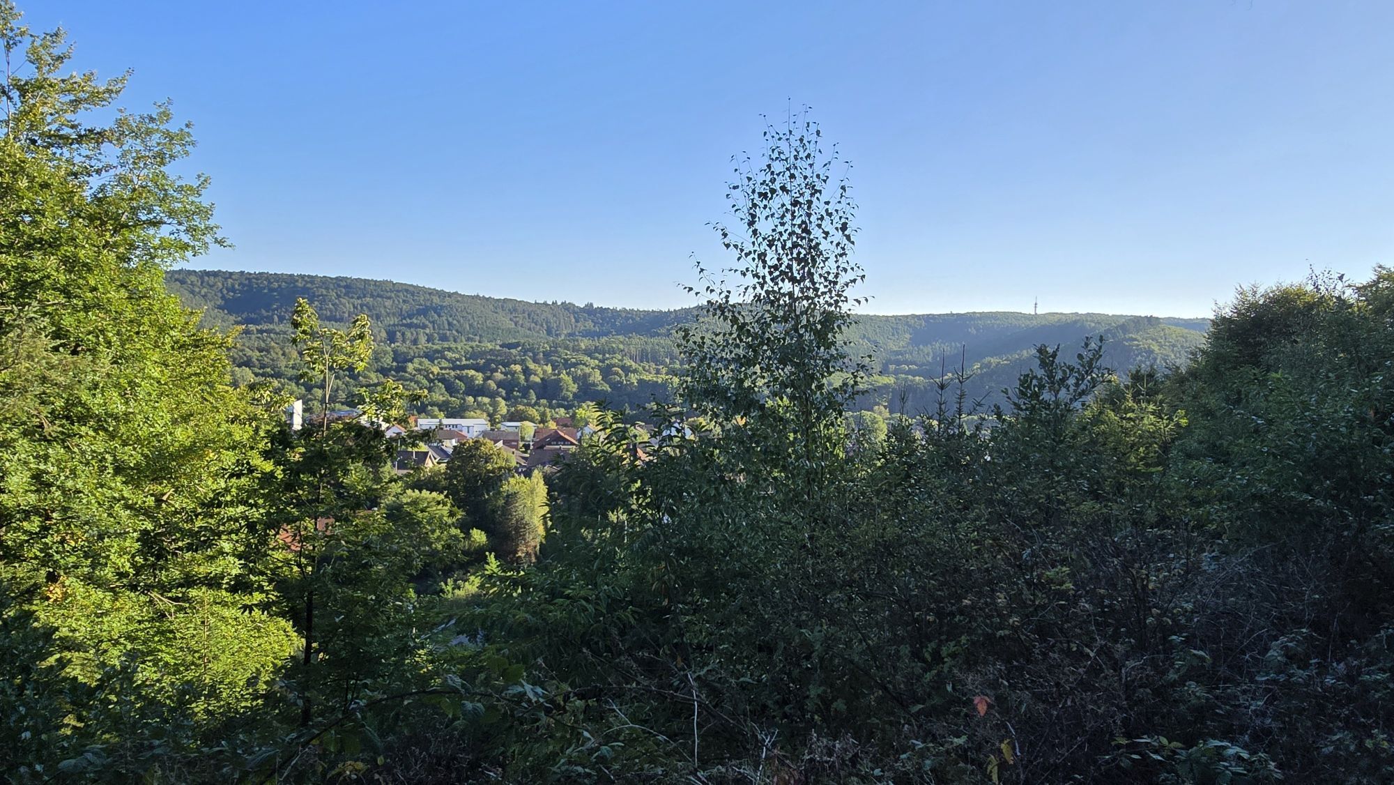
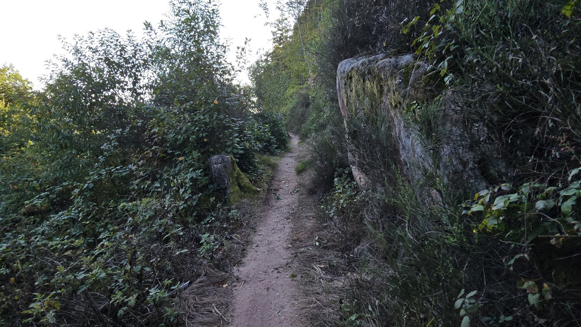
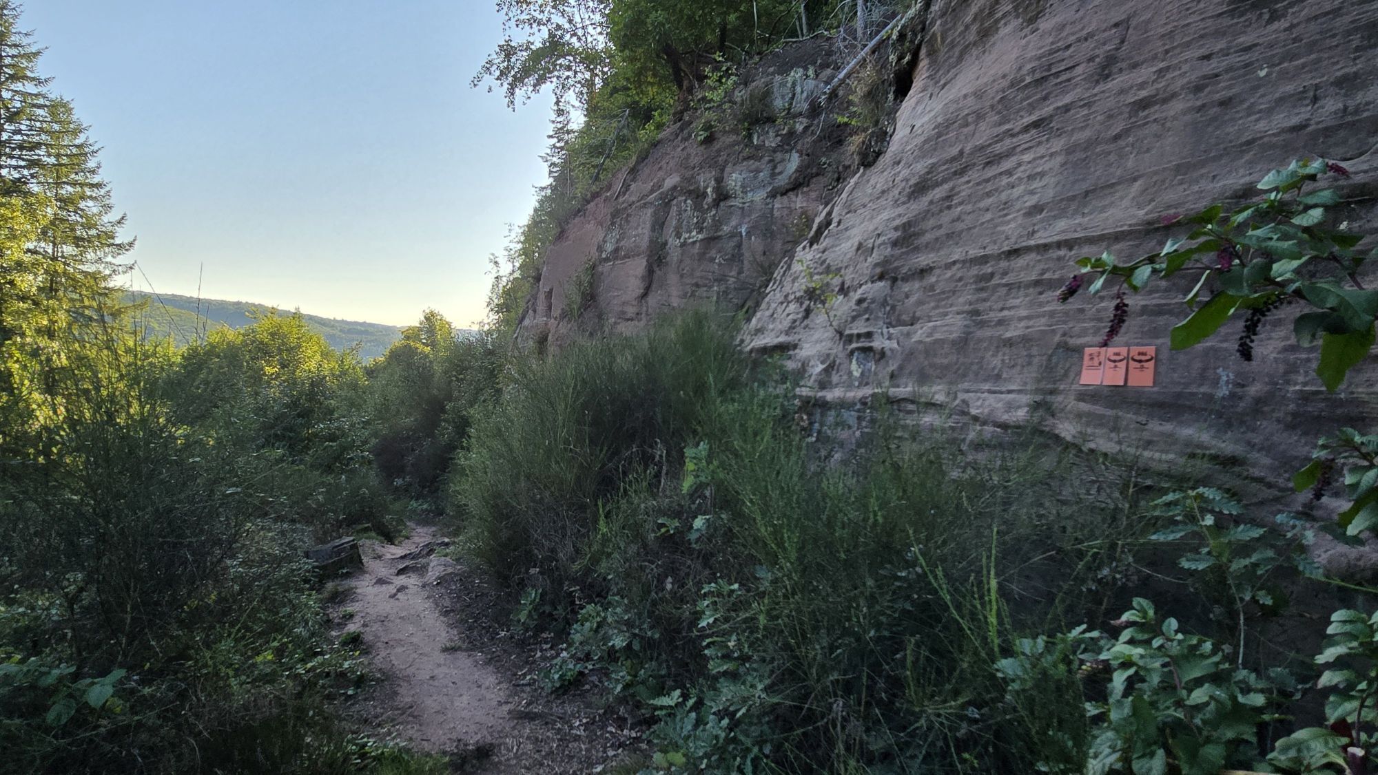
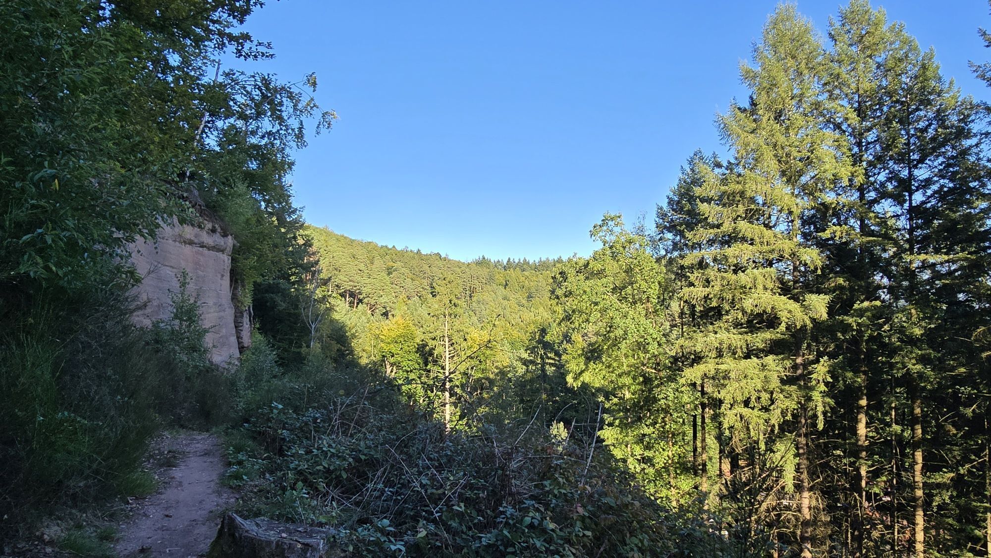
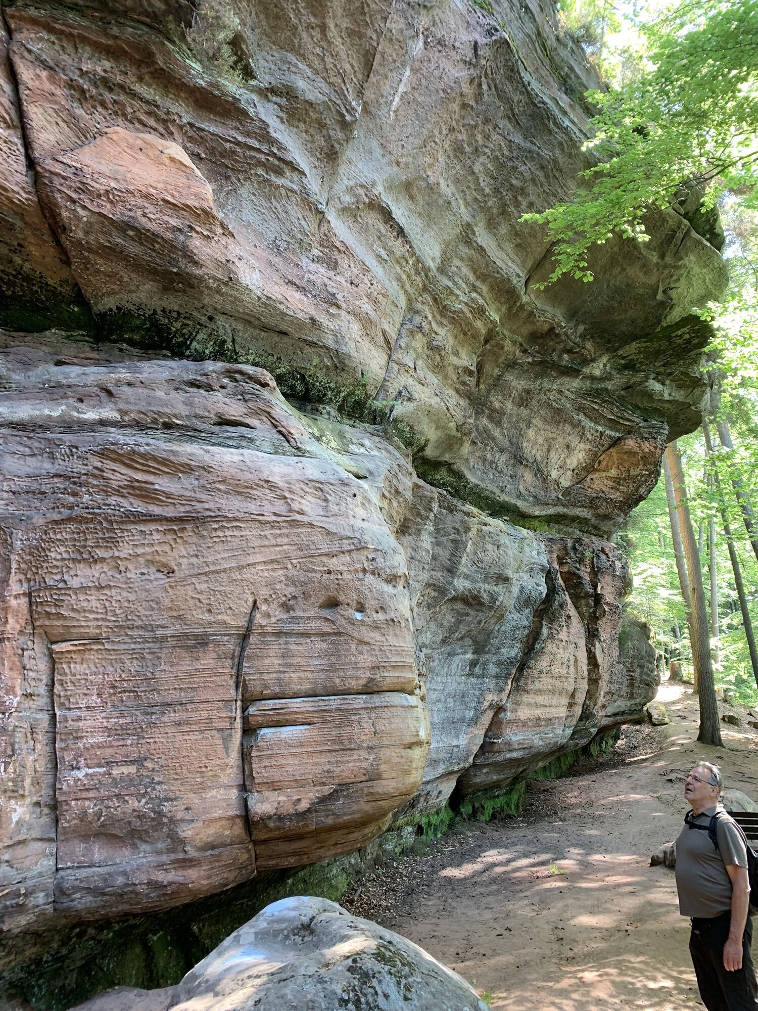
It doesn't get more varied than this! This beautiful circular hike between Rodalben, Clausen and Donsieders offers the whole repertoire of the Gräfensteiner Land vacation region. Impressive red sandstone...
UFFBASSE! - Campaign for considerate coexistence in nature
Fire & smoking - Lighting fires, smoking and barbecues are strictly prohibited in the forest and must be avoided at all costs! This is the only way to prevent fires and the resulting damage to nature and wildlife.
Be considerate when out and about - Always behave in a forward-looking, friendly and considerate manner towards everyone you meet along the way.
Nature conservation - Stay on the designated paths and avoid making unnecessary noise when you are out in nature. Leave the forest at dusk at the latest so as not to disturb the rhythm of nocturnal animals.
Picnic & garbage - Remember to take a garbage bag with you and take your garbage home with you. Only use the furnished rest areas for breaks and picnics.
Dogs on a lead - Please keep your dog on a lead at all times. Other visitors and animals will thank you for it.
Further information at: www.pfalz.de/uffbasse
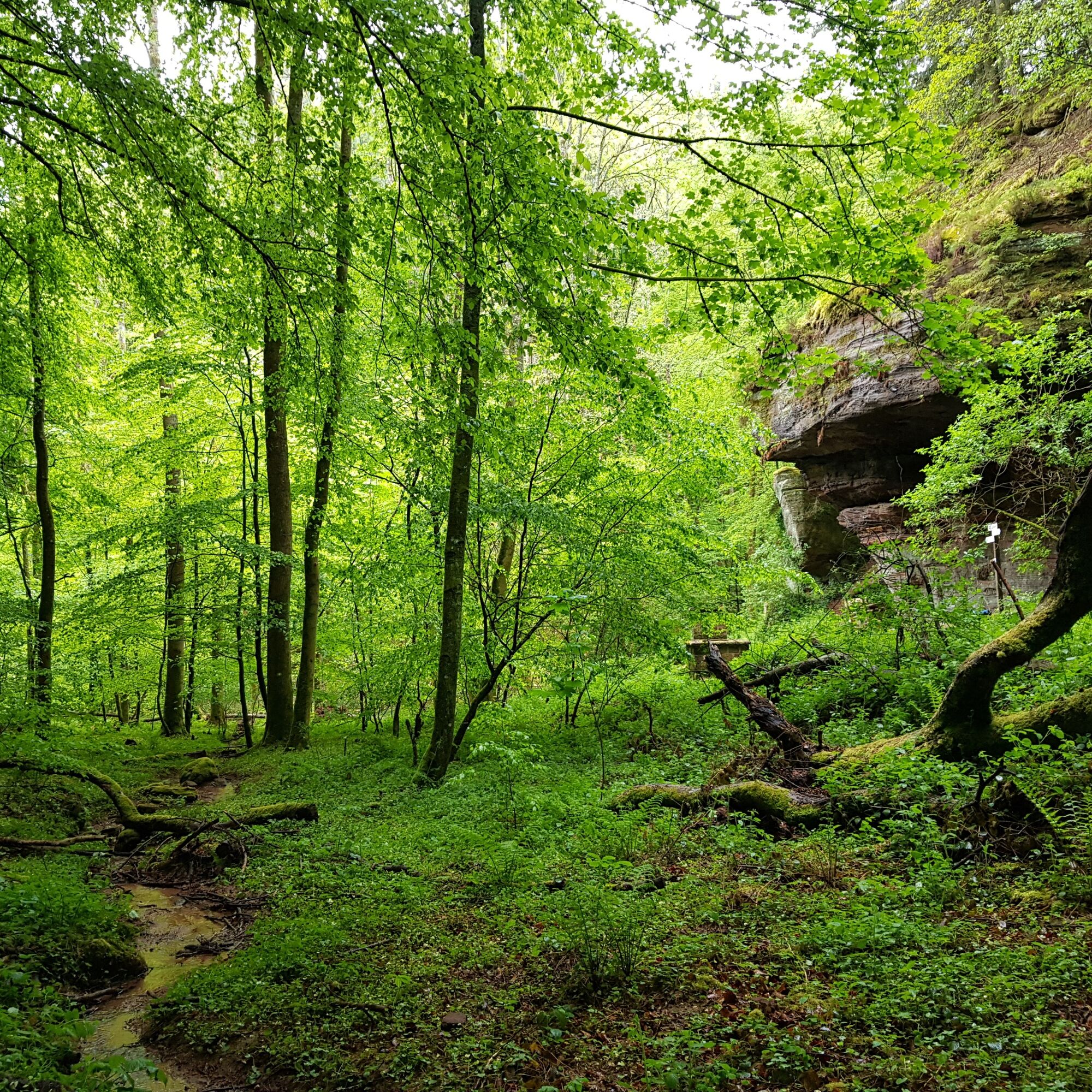
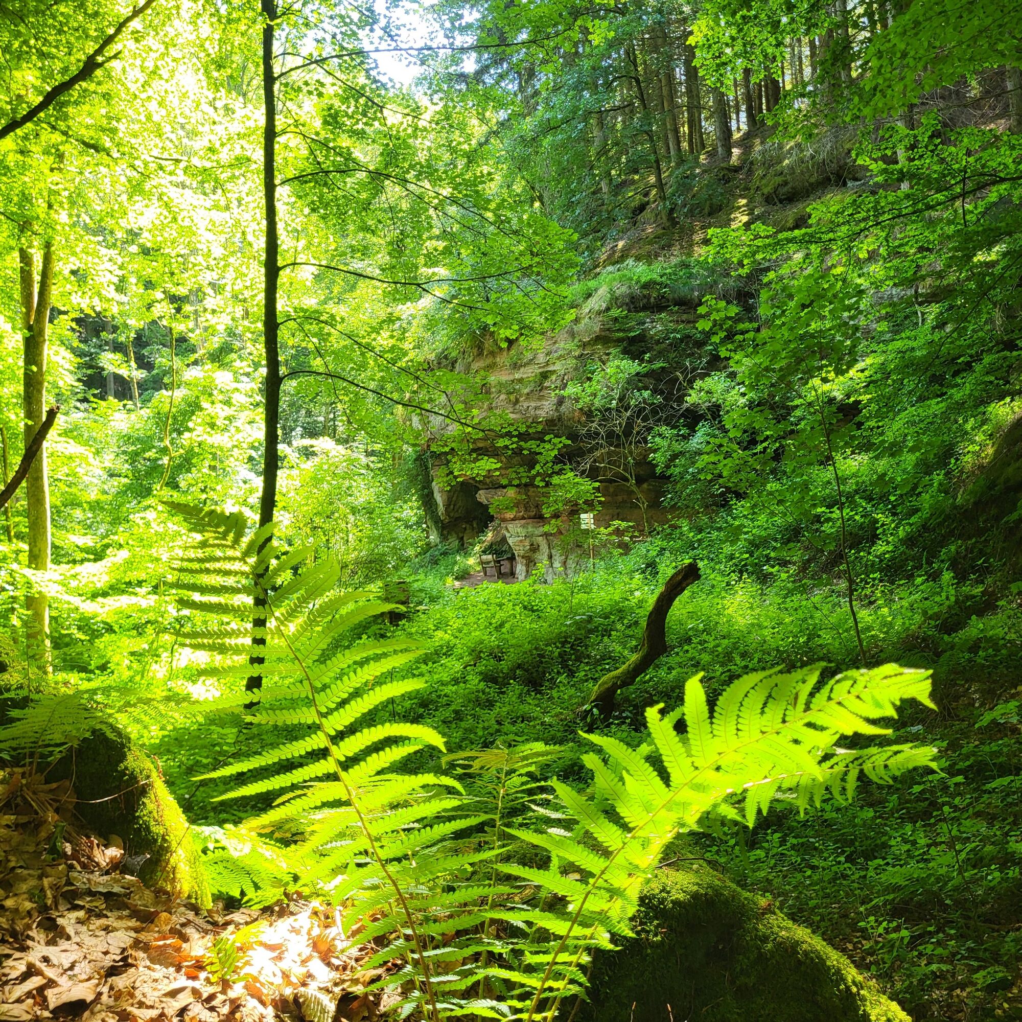
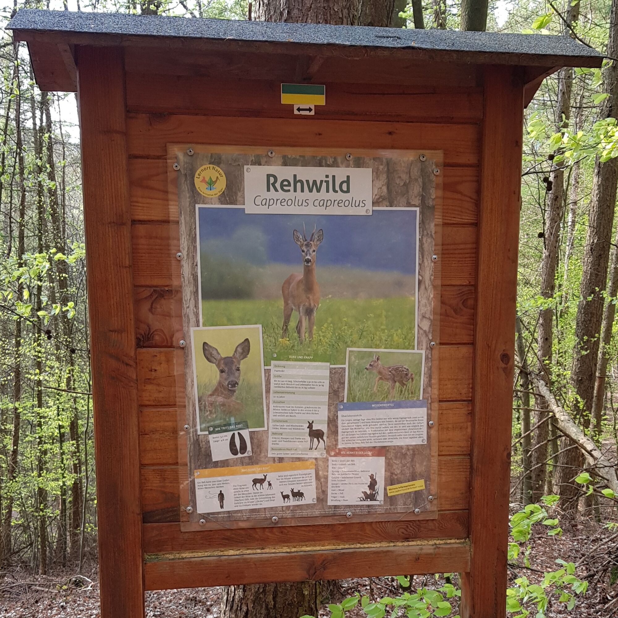
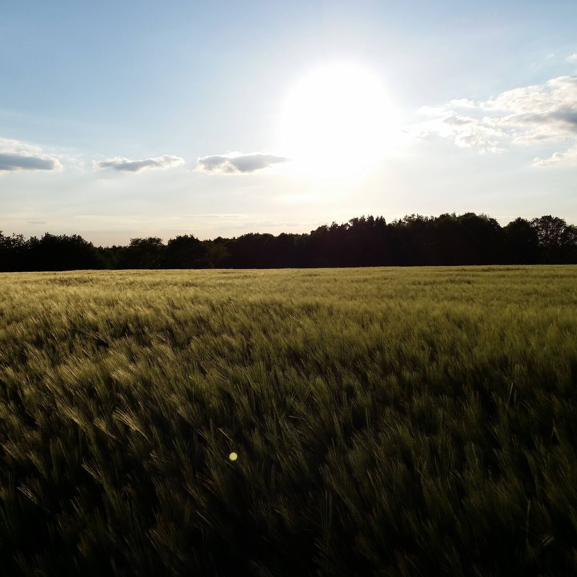
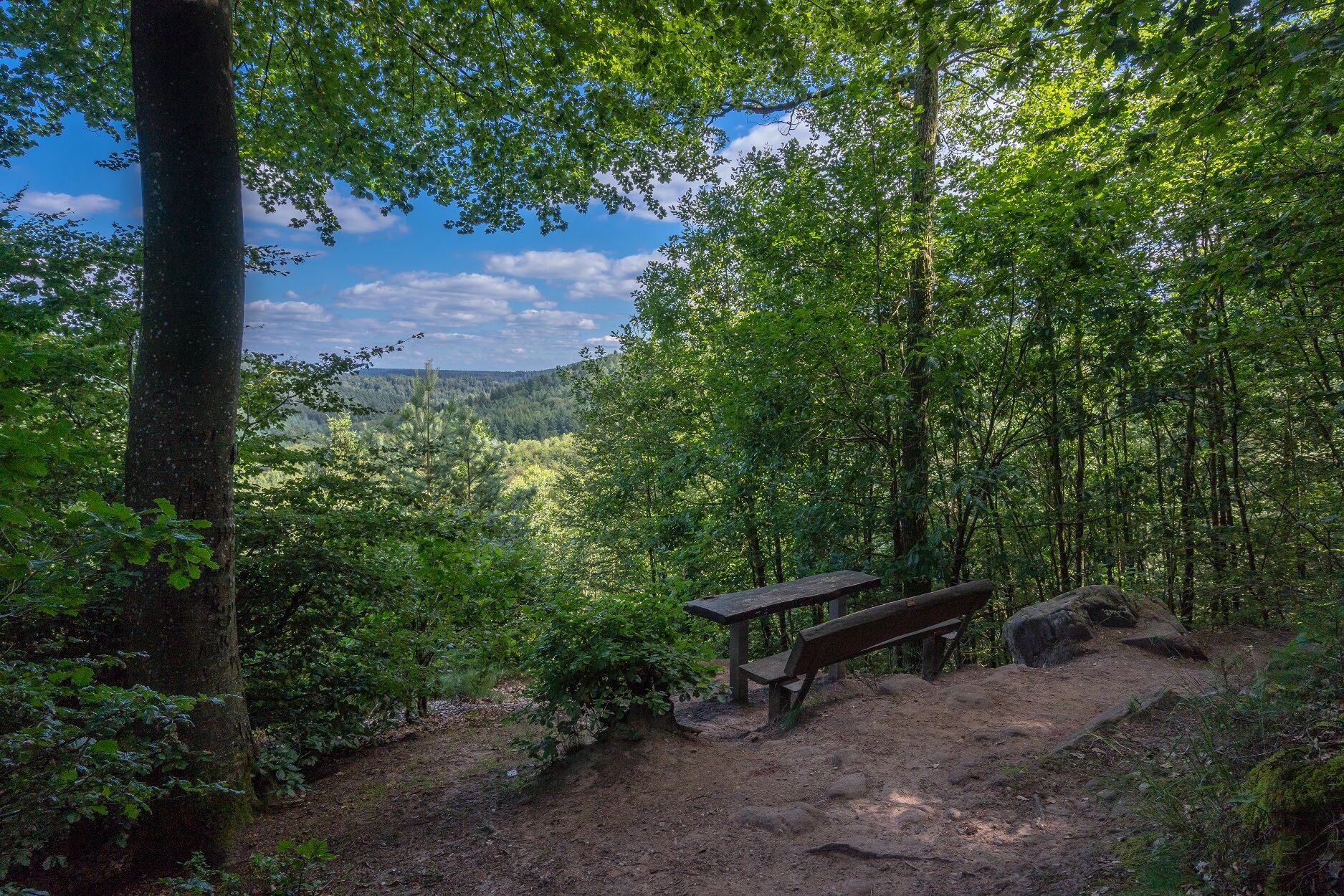
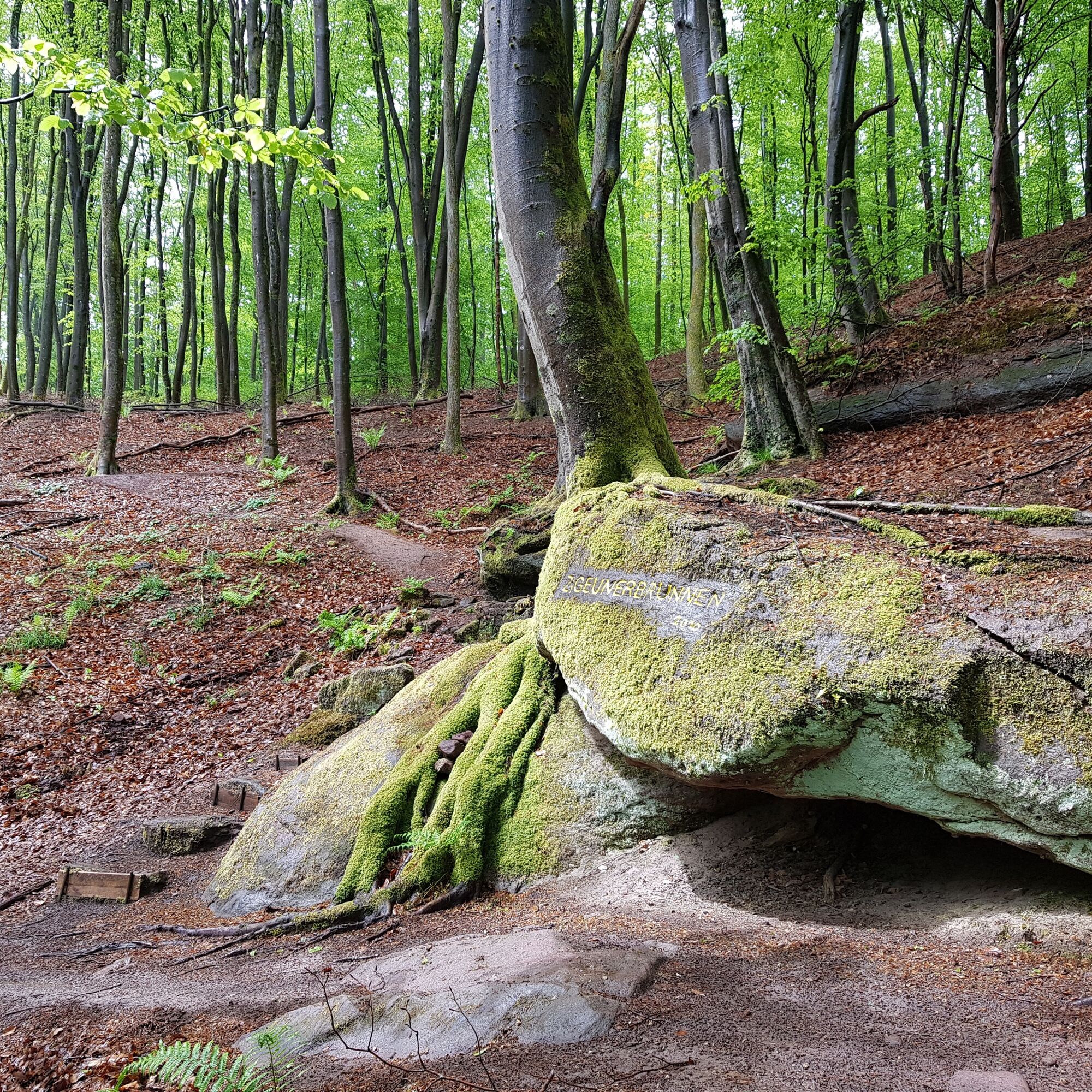
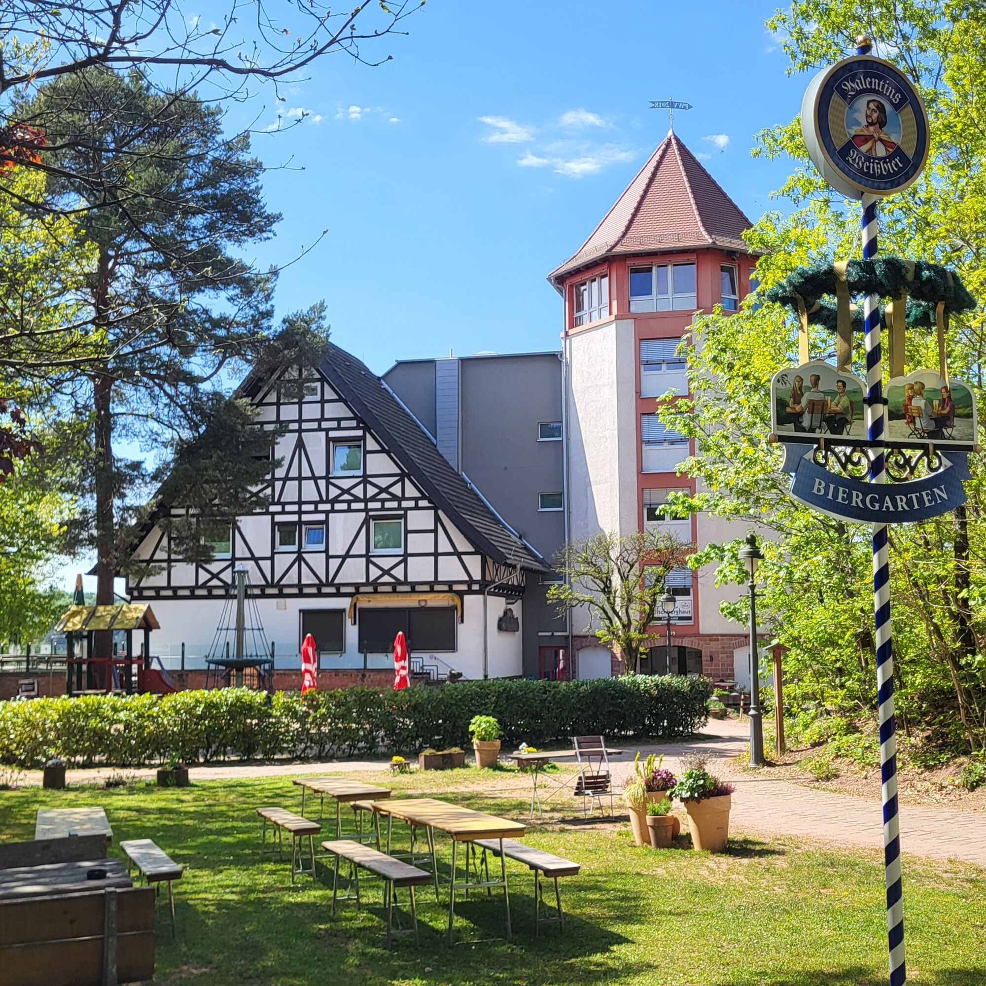
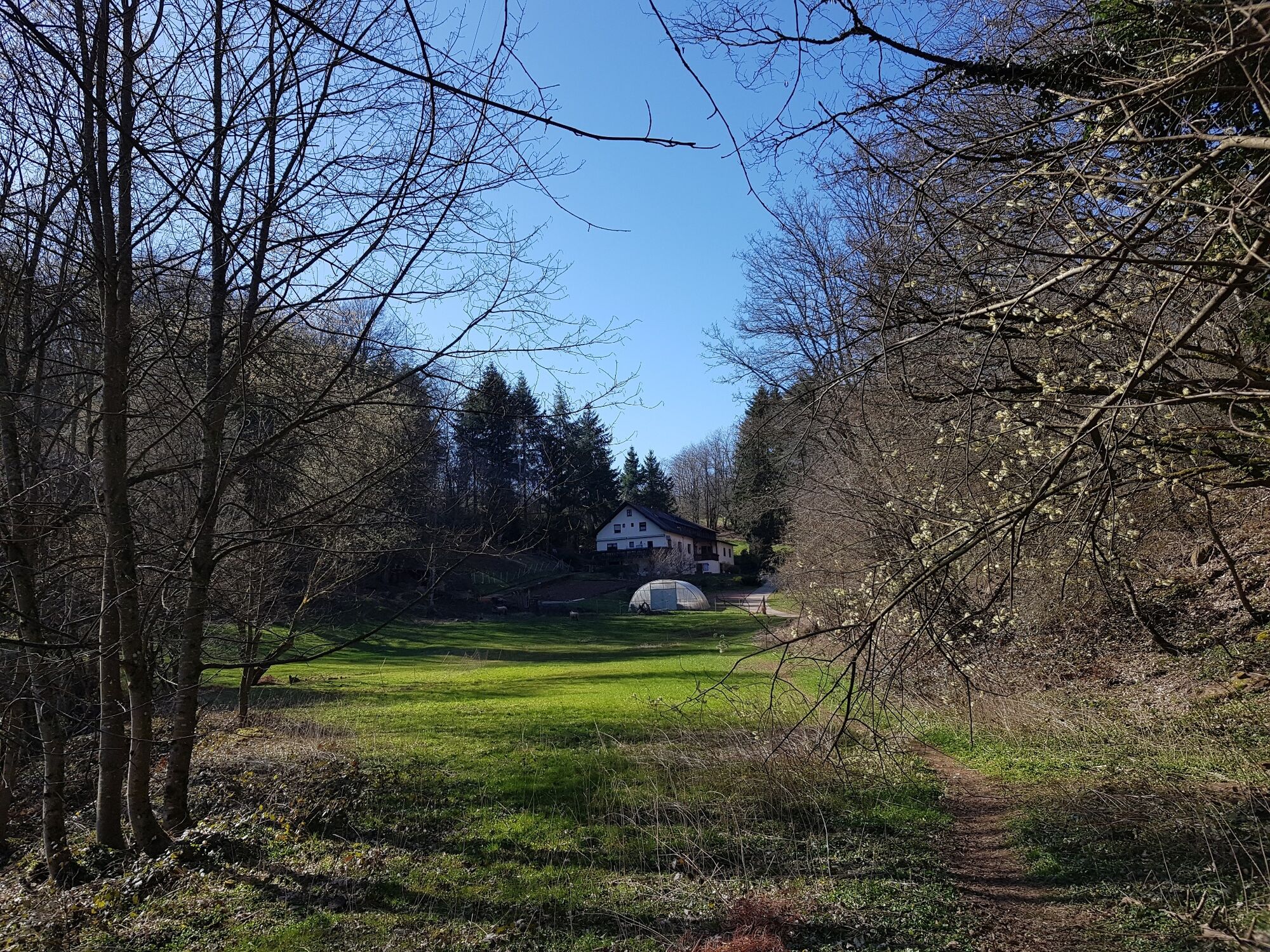
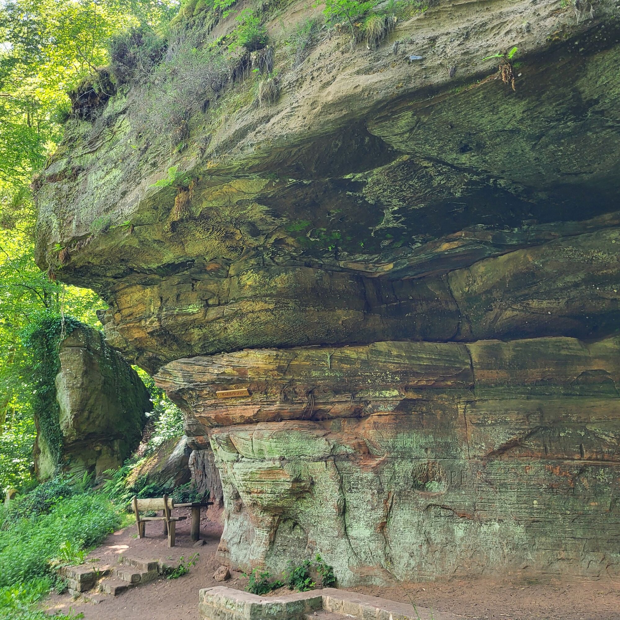
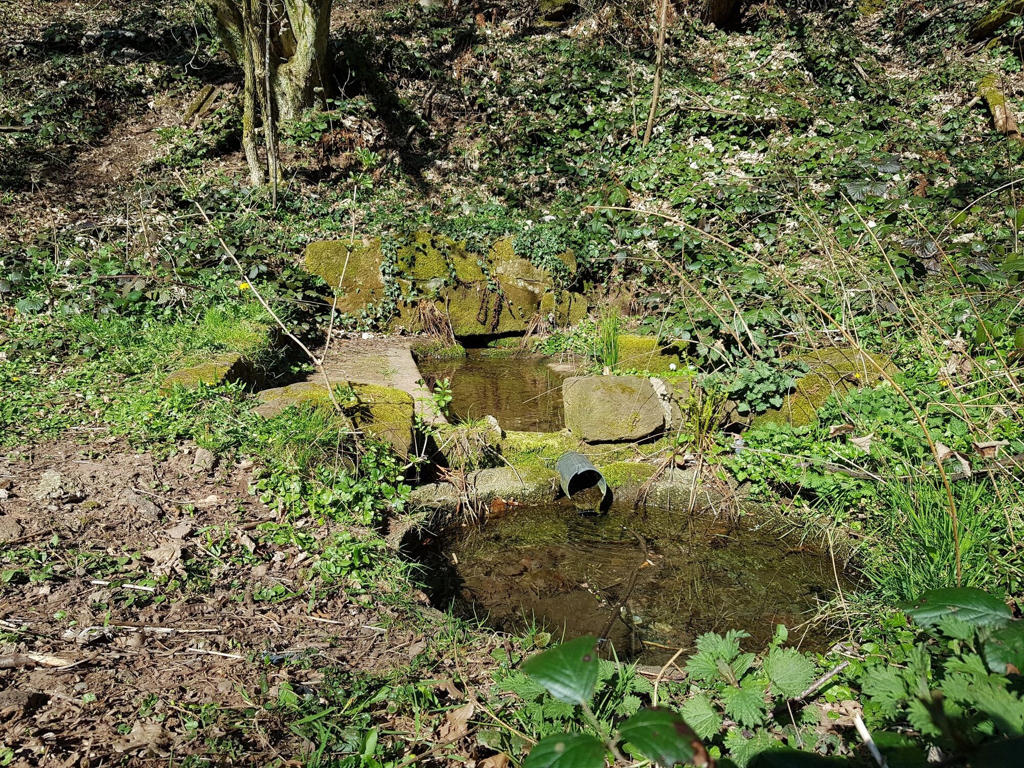
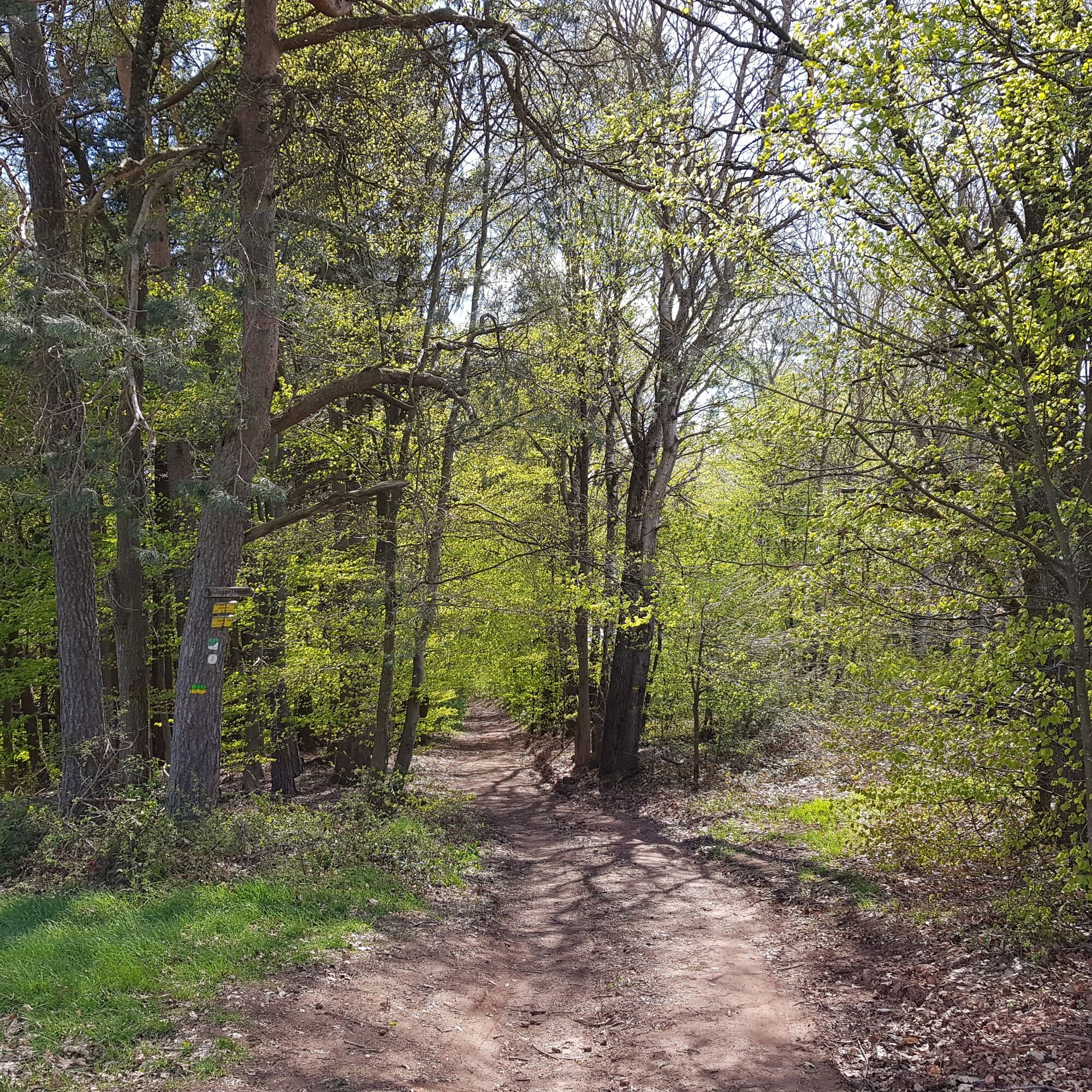
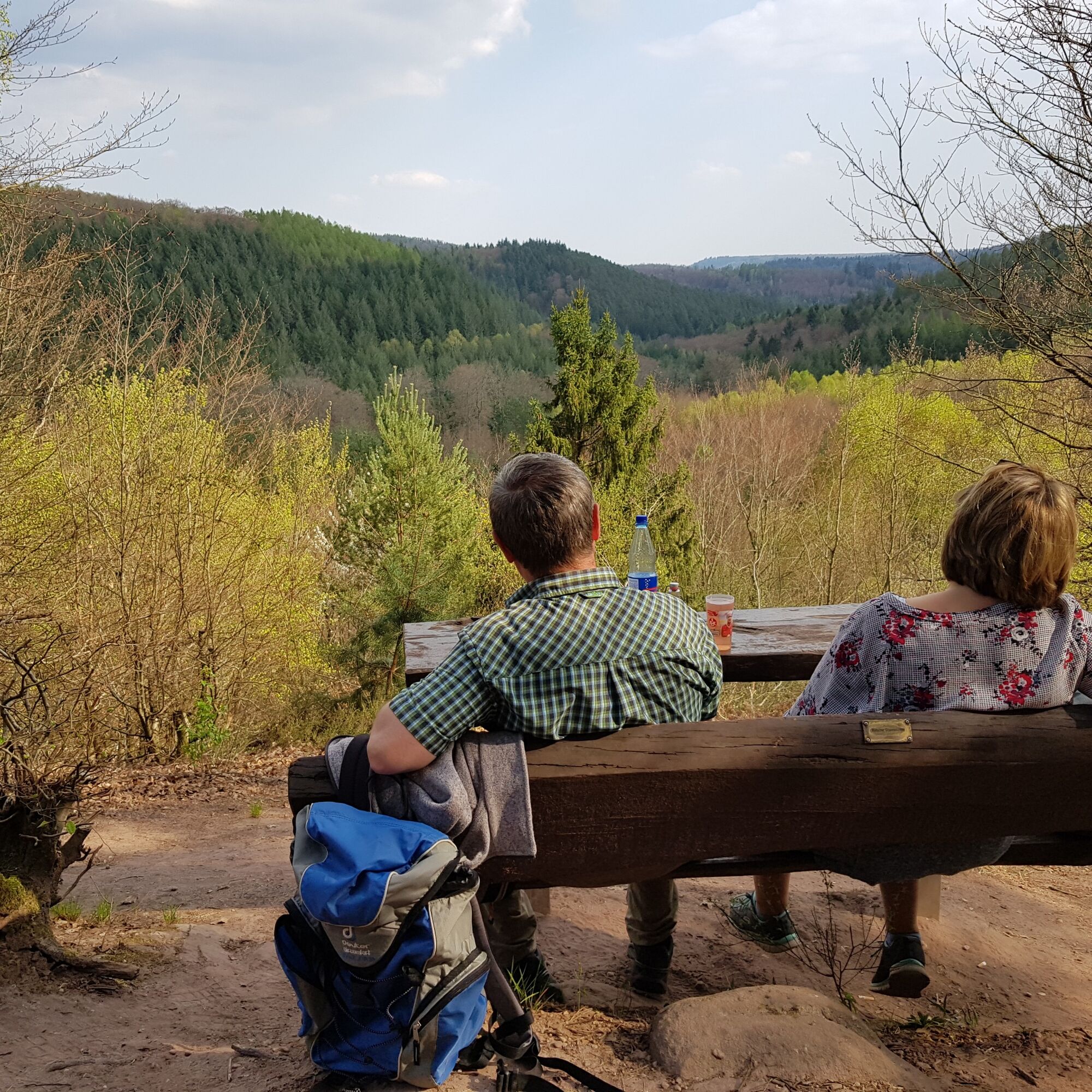
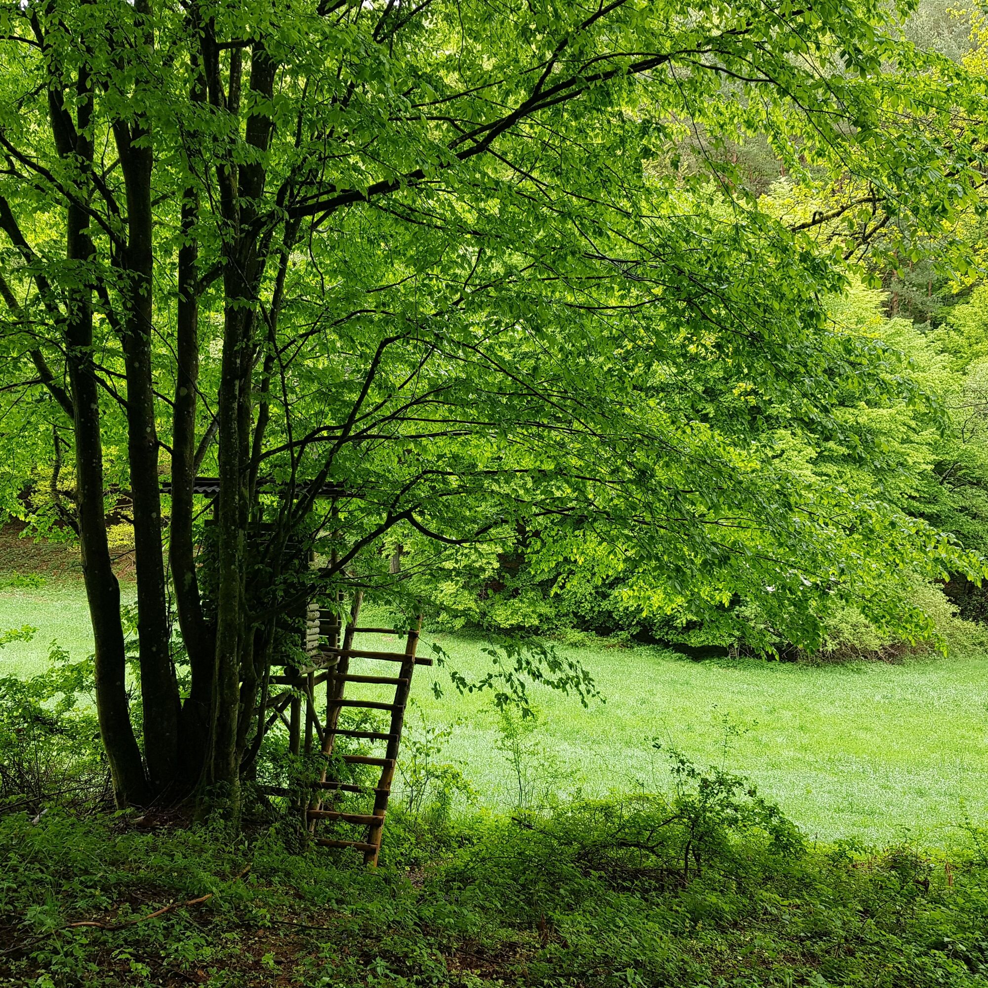
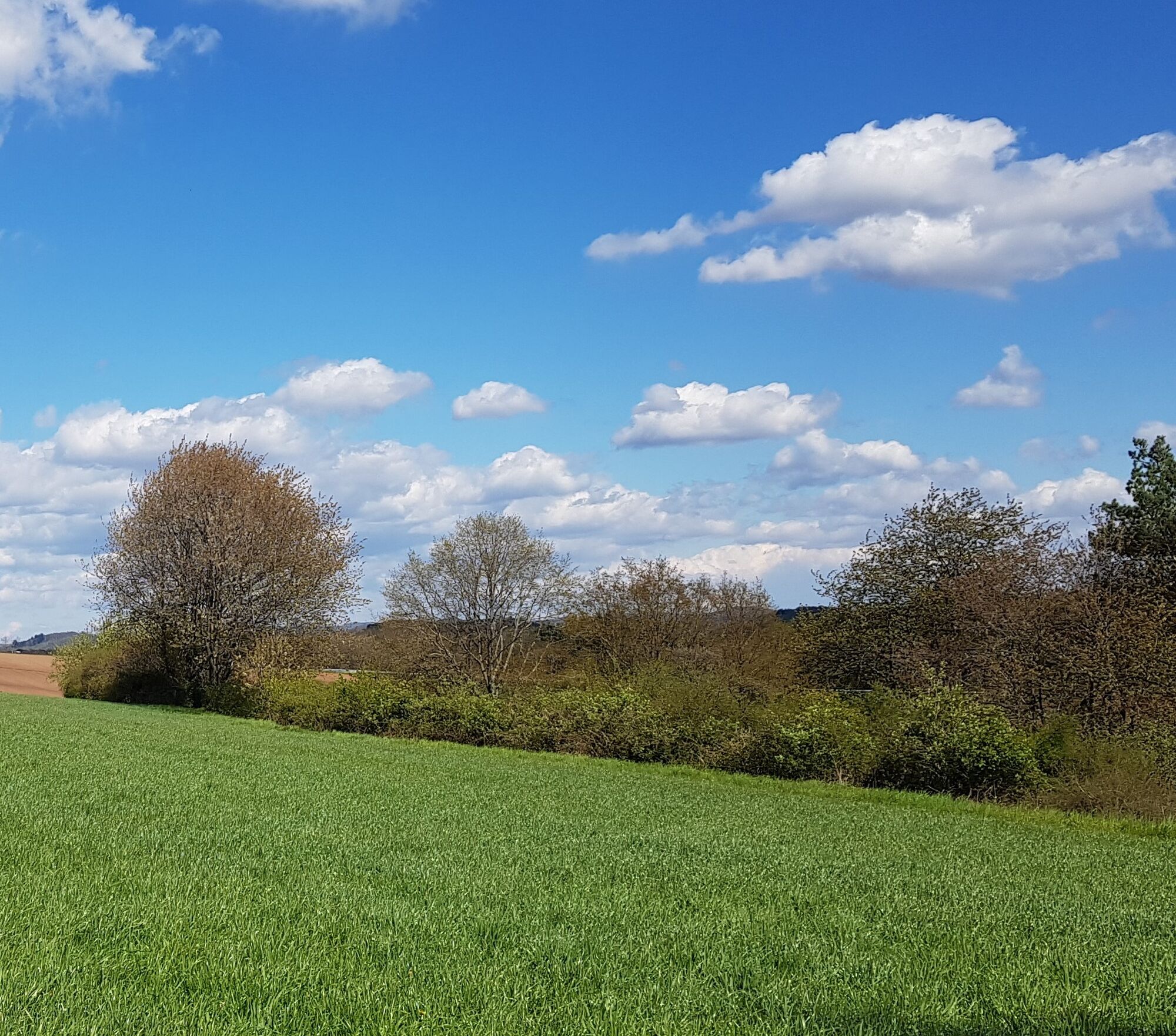
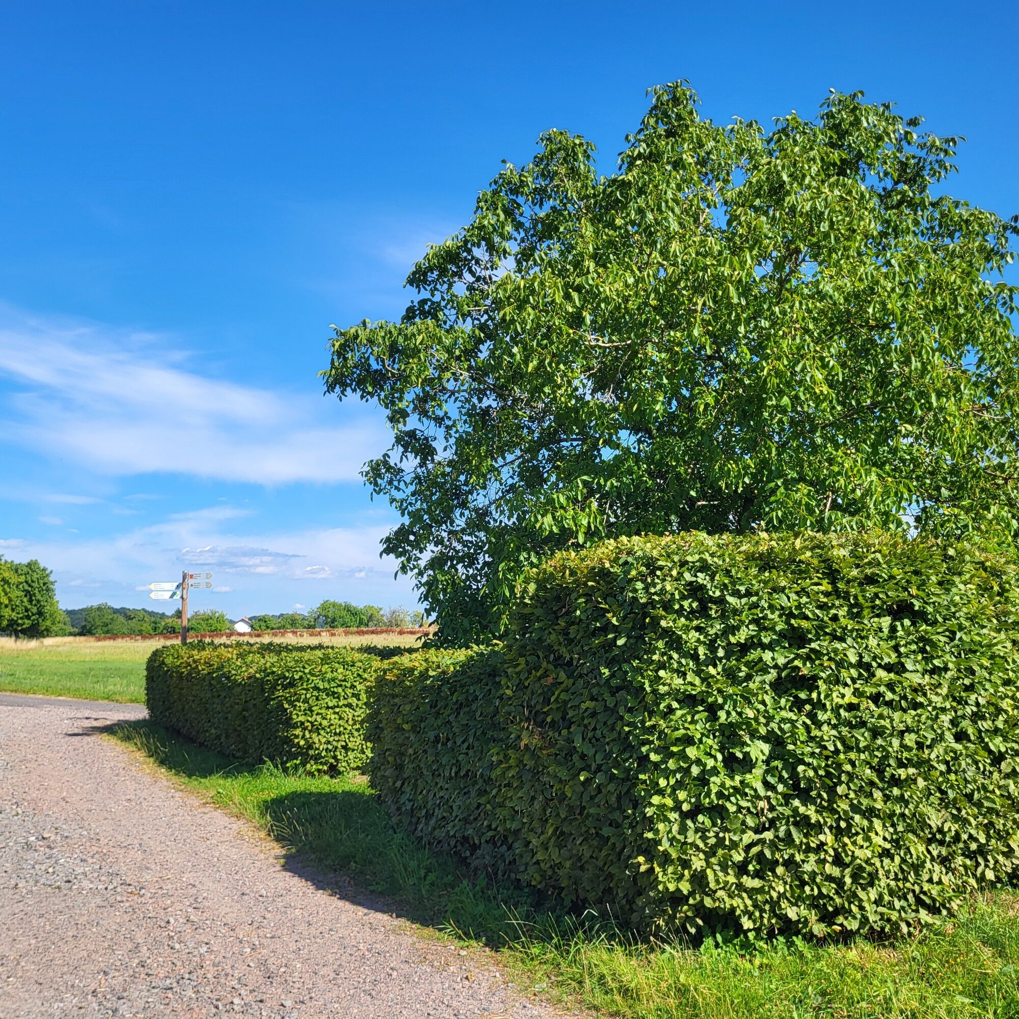
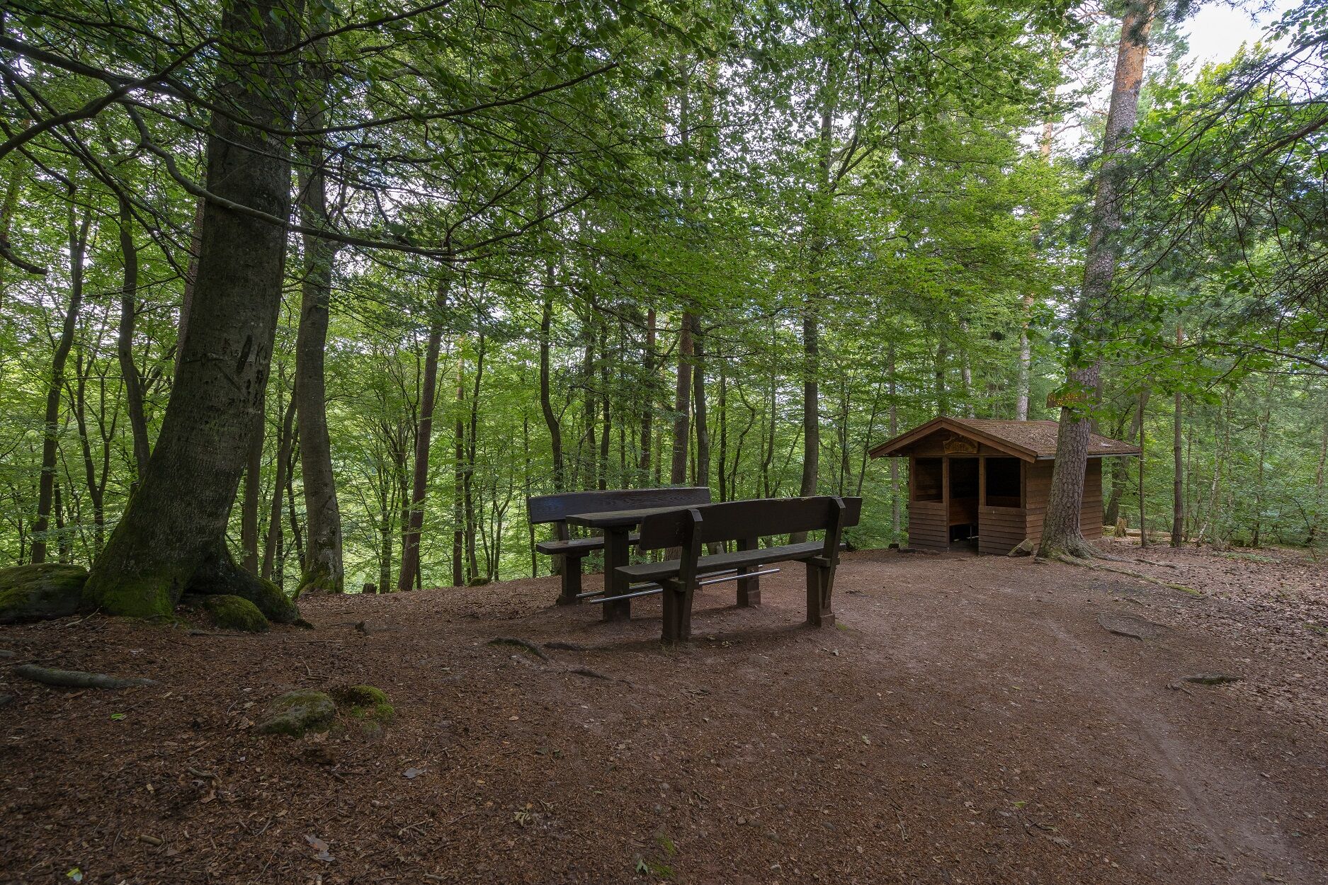
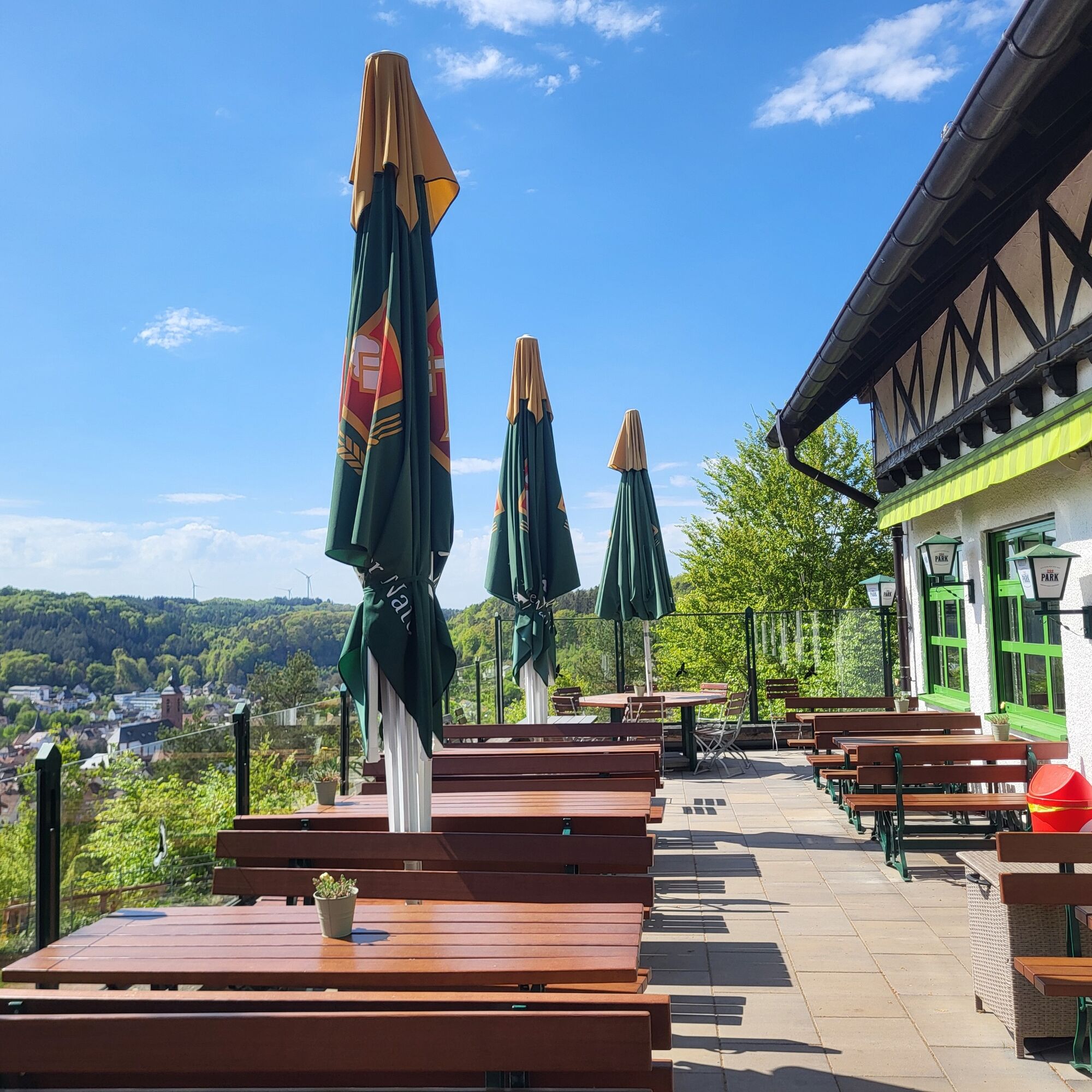
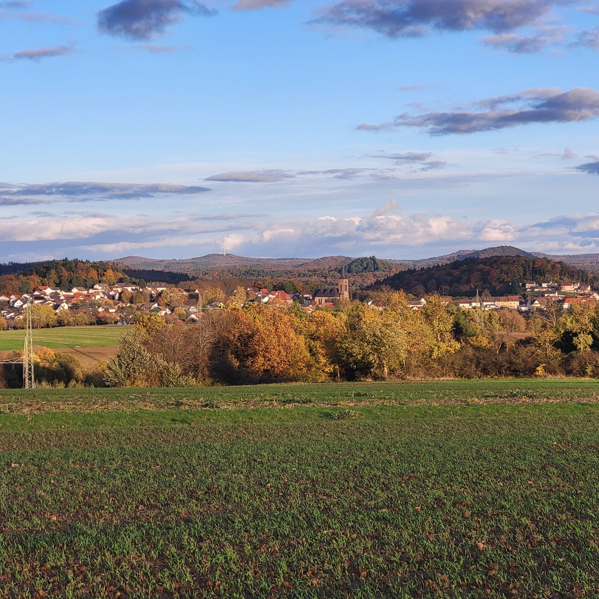


A stop at the hut, which is only 100 meters away and offers hearty Palatinate cuisine and a wonderful view over Rodalben, is definitely worthwhile. Once you reach the Hilschberg, follow a wide path - always in an easterly direction - through magnificent, light-flooded beech forests. This path is very popular with locals for jogging, walking or strolling and has recently also become a themed trail about strong women from the South-West Palatinate.
On the way - after a good 900 meters on this path - you have the opportunity to take a detour to the right along a 300-meter-long path down the mountain to see the Saufelsen rock on the Rodalber Felsenwanderweg. A mighty red sandstone formation with high walls and rocky outcrops that impresses not only with its dimensions, but also with the complexity of the sandstone structures with their gravel inclusions. Not far from it, you can also enjoy a wonderful picnic under the rocky outcrop of the Rappenteichfelsen.
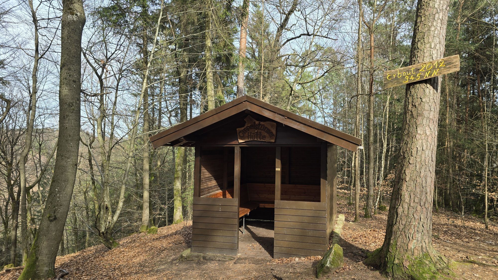
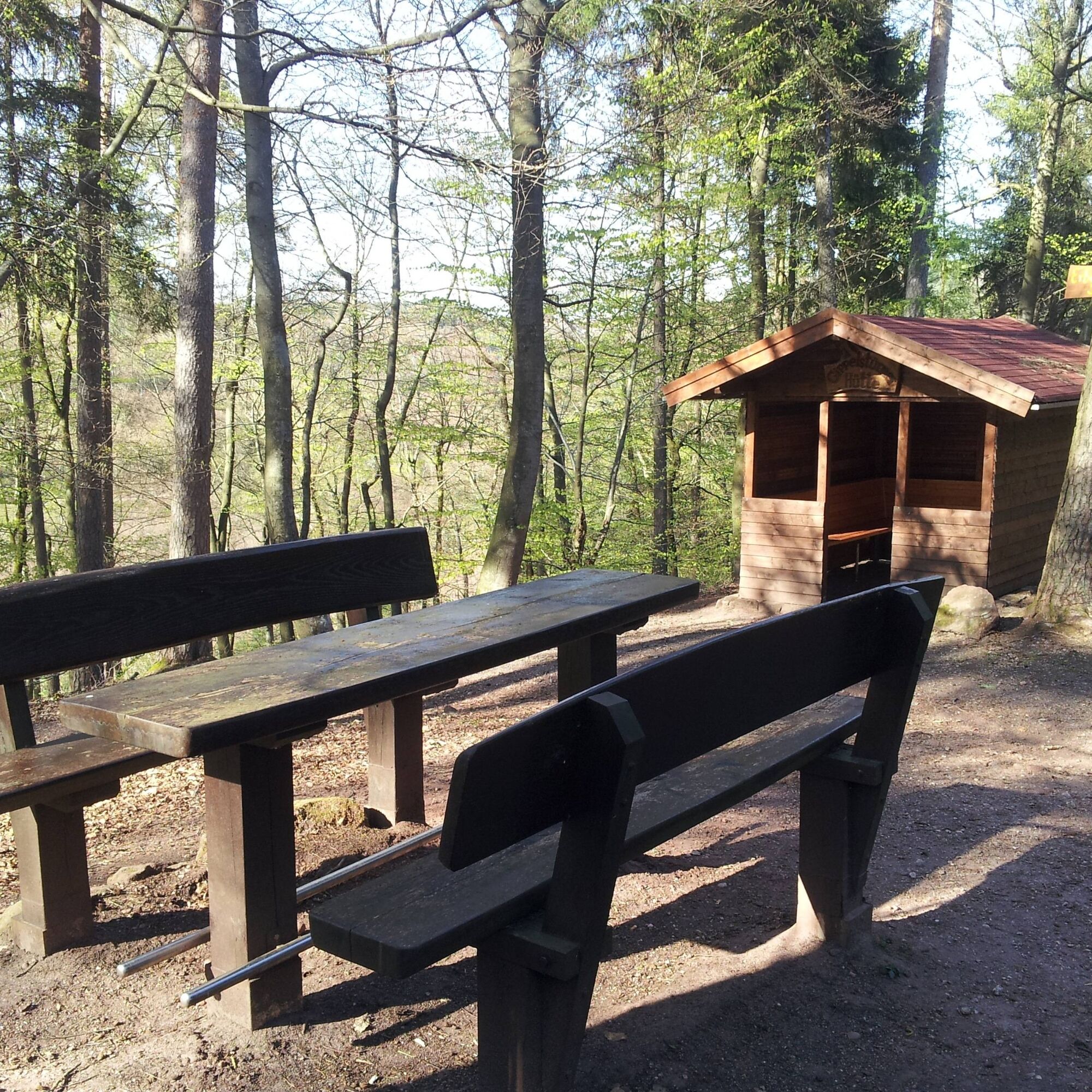
Back on the main path, continue along it in an easterly direction for about 300 meters before it bends to the northwest. After about 200 meters, you finally leave this relatively wide path to turn right onto a narrow path in a north-easterly direction. After about 200 meters, you will reach the Gipfelstürmer refuge, which invites you to rest and linger with its seating areas.
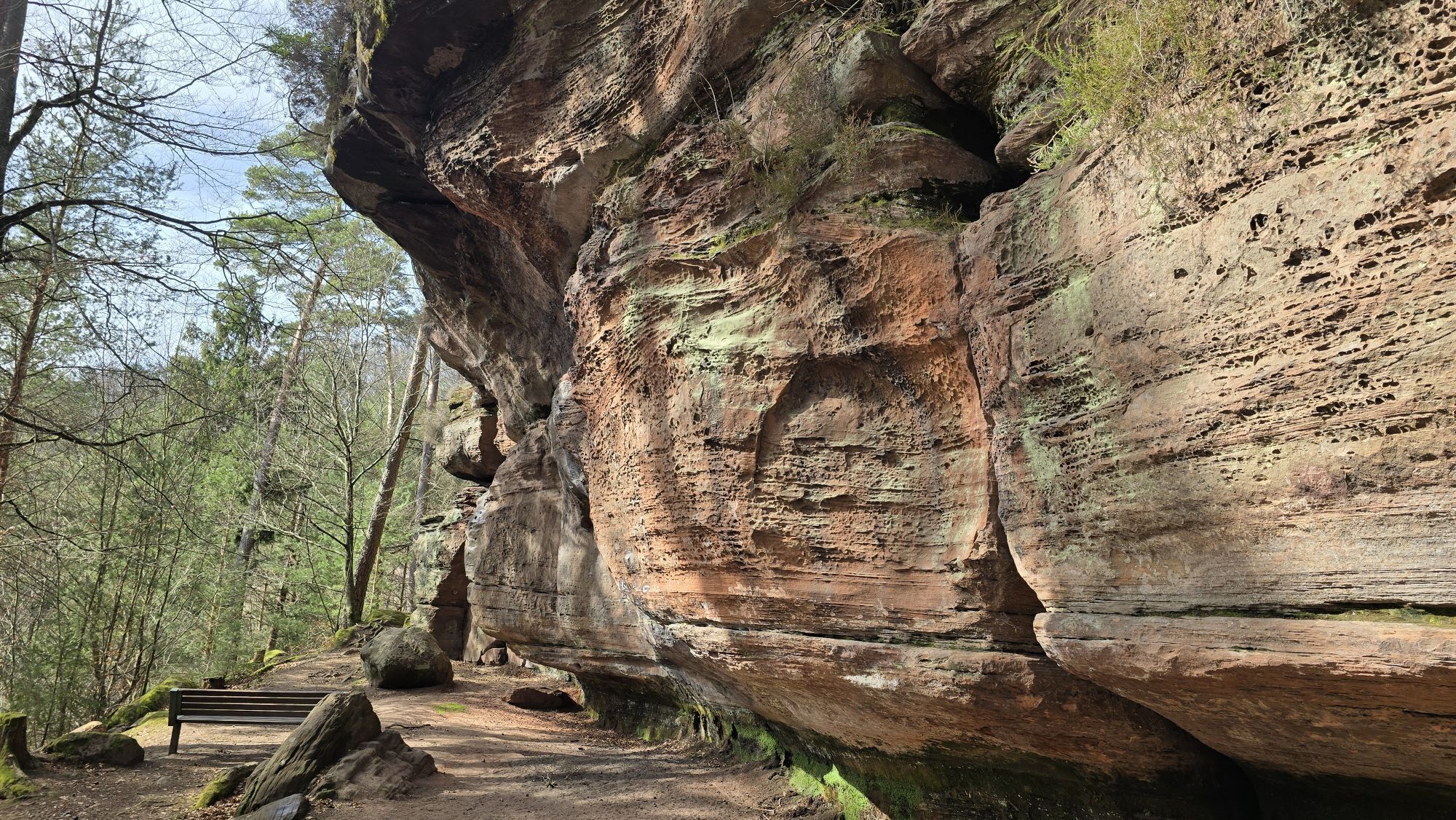
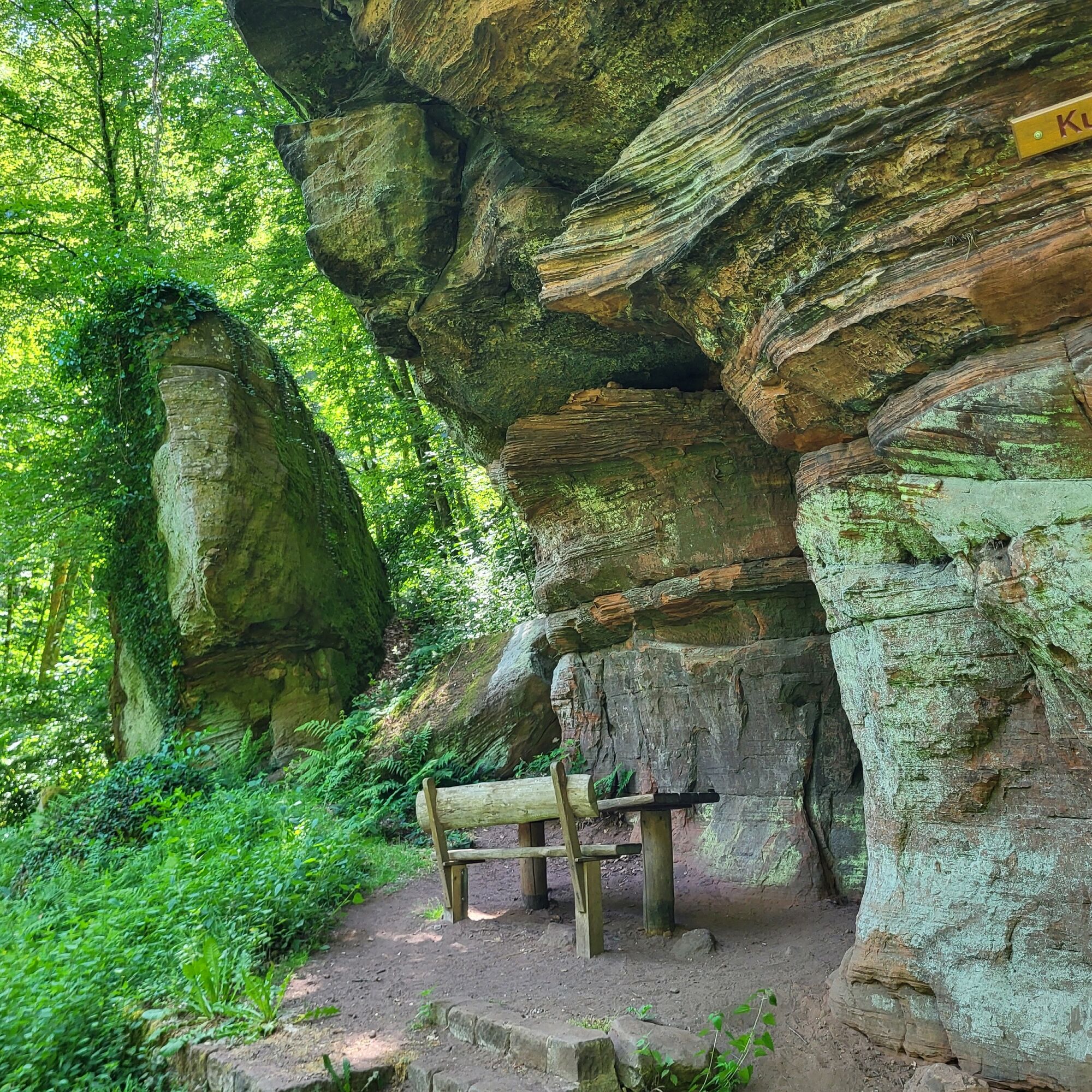
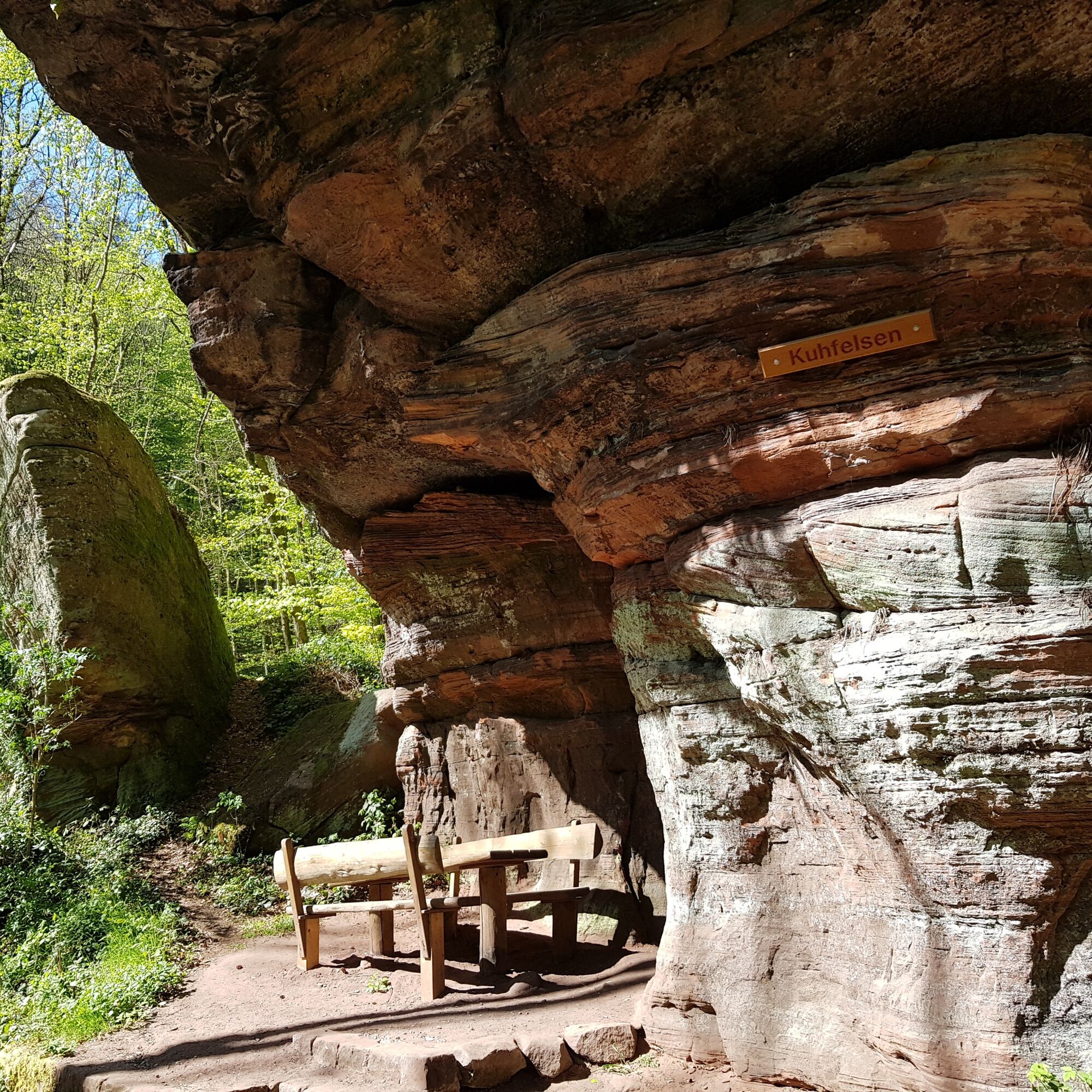
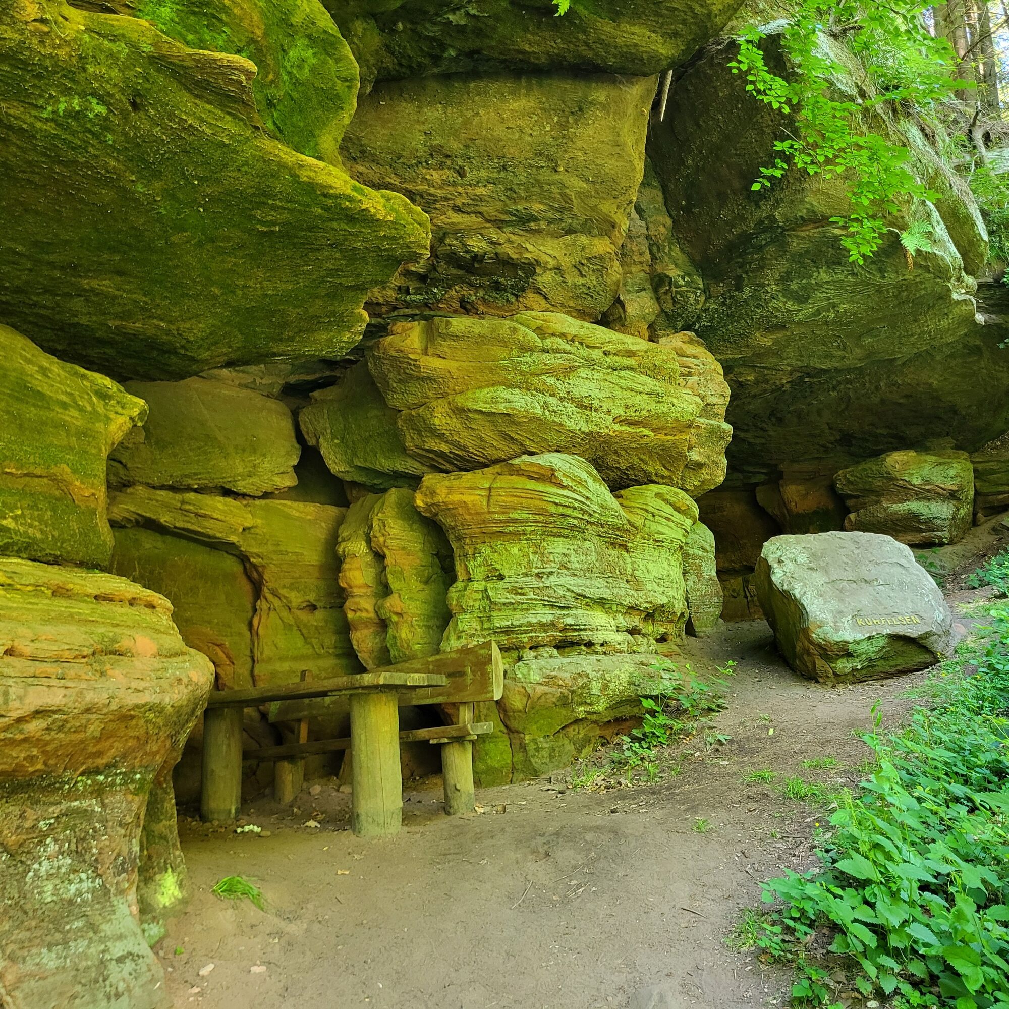
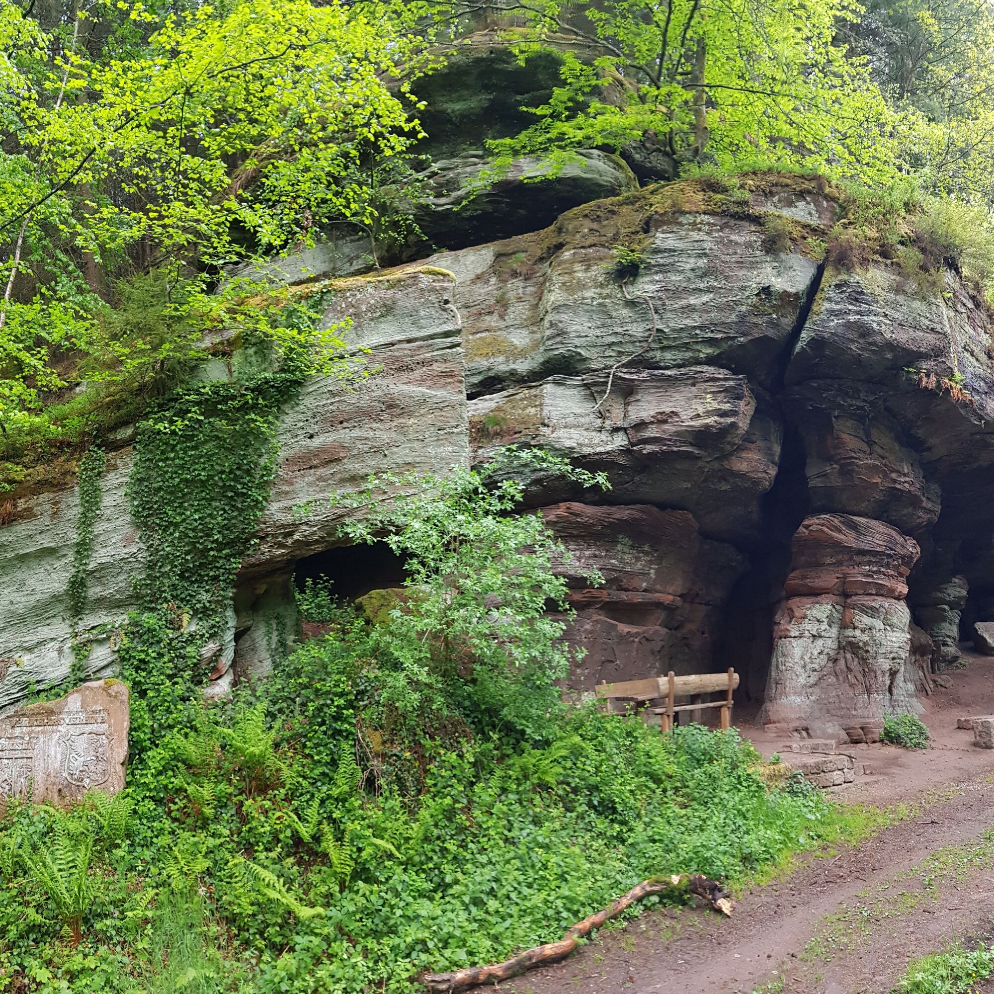
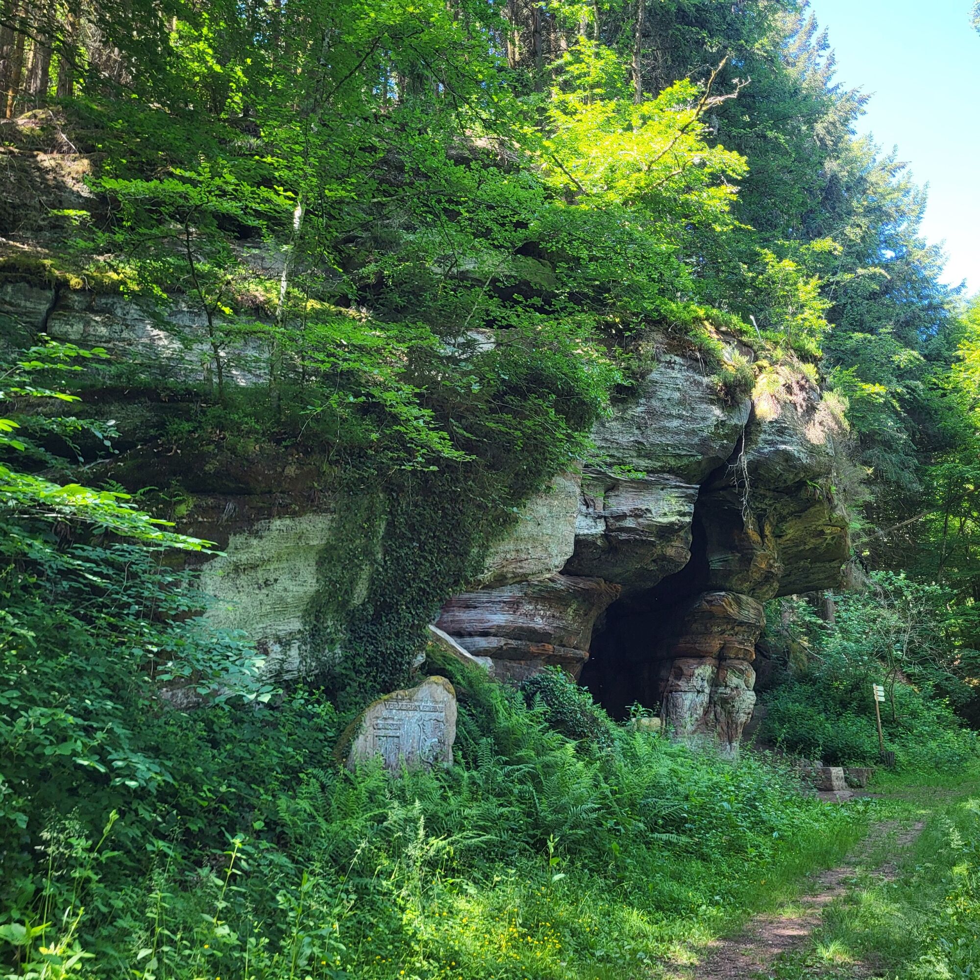
From here, you follow the well-known Rodalber Felsenwanderweg, the first certified Wanderbares Deutschland quality trail in the Palatinate, which was voted Germany's most beautiful hiking trail in 2022 in the category of multi-day tours by the hiking magazine, for a longer section. This now winds its way halfway up the mountain through various valley incisions. Passing a beautiful fountain and the mushroom rock, you reach the Kuhfelsen rock at the end of the romantic Clauser Tal valley after around 2.5 kilometers of "rock hiking enjoyment". Here, too, hikers can take a rest in this impressive example of red sandstone, under which shepherds used to seek shelter in bad weather, and prepare themselves for the next steep climb.
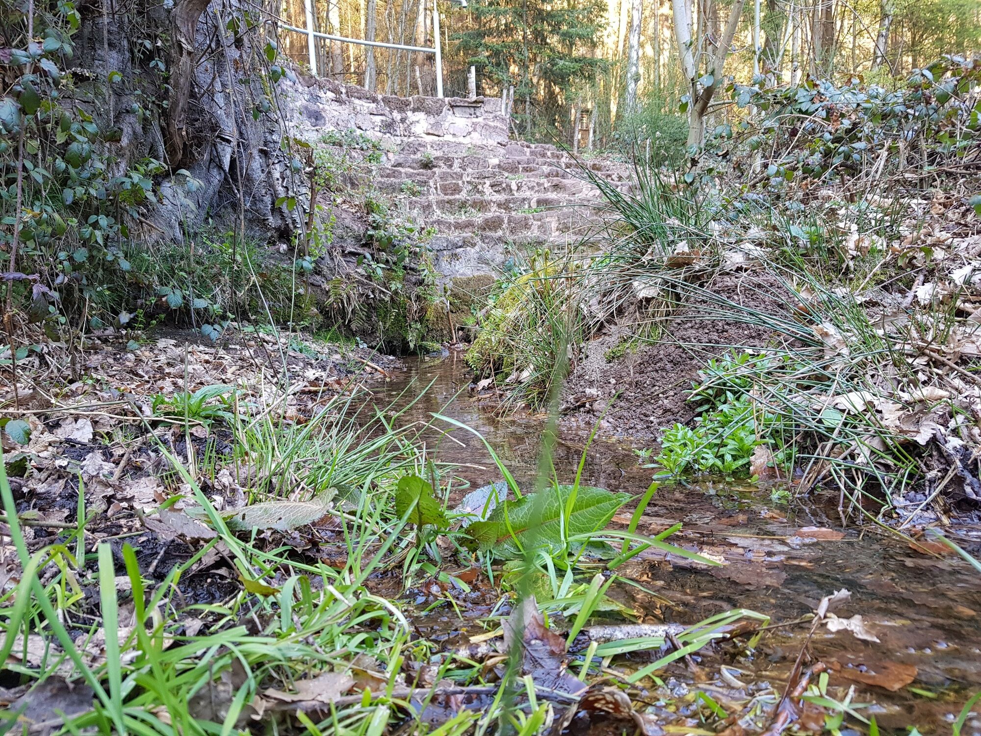
Here, at the end of the Clauser Valley, you finally leave the rocky hiking trail to head north - steadily uphill - along a zig-zag path about 1 kilometer long, which begins as a path and continues as a nature trail or road, up to the Orleberg. On the way, after about 200 meters, you have the opportunity to make a short detour to the Orlebrunnen, a small, enclosed spring.
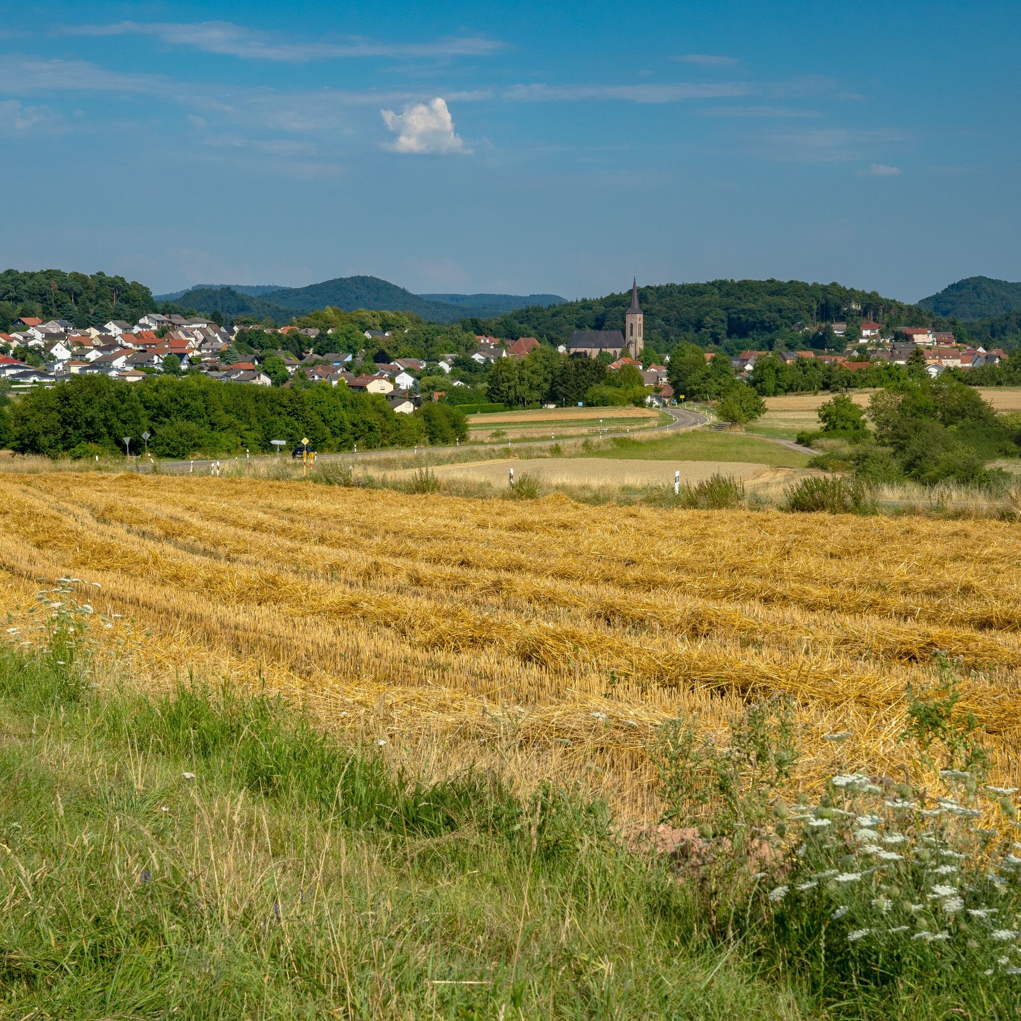
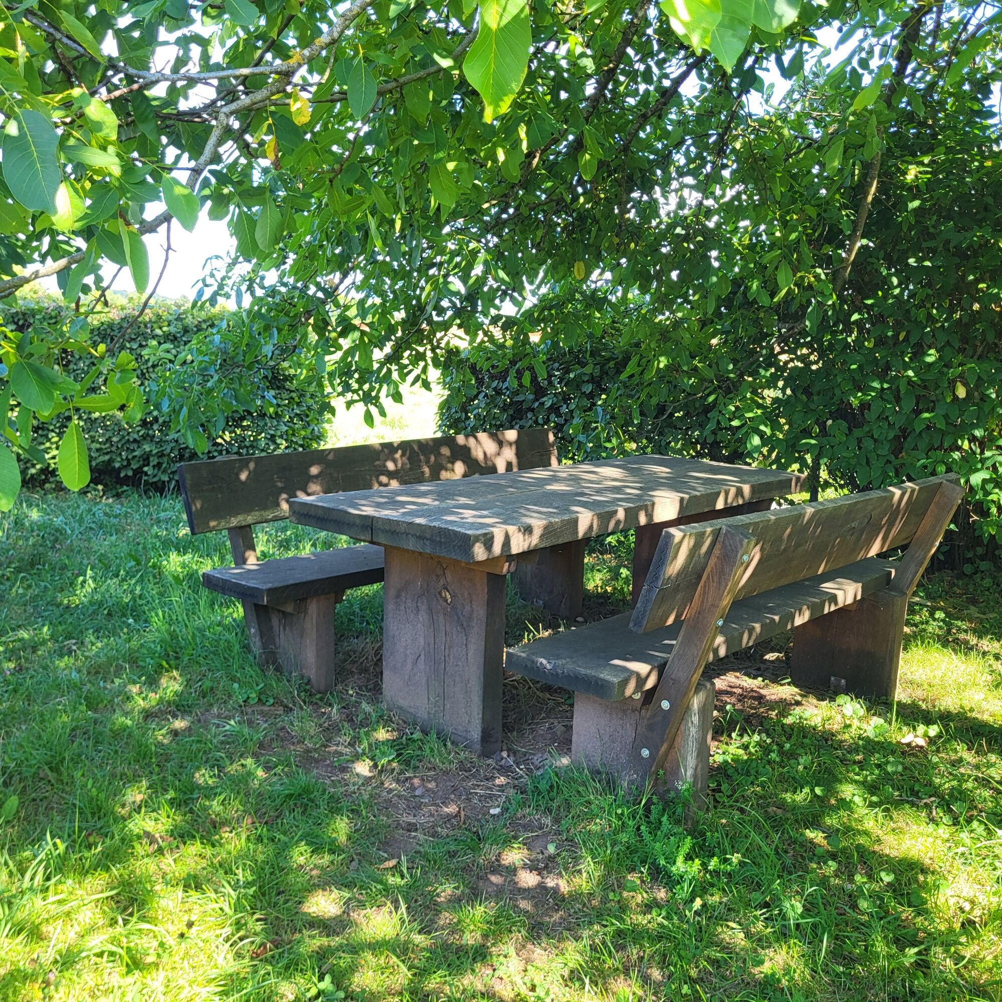
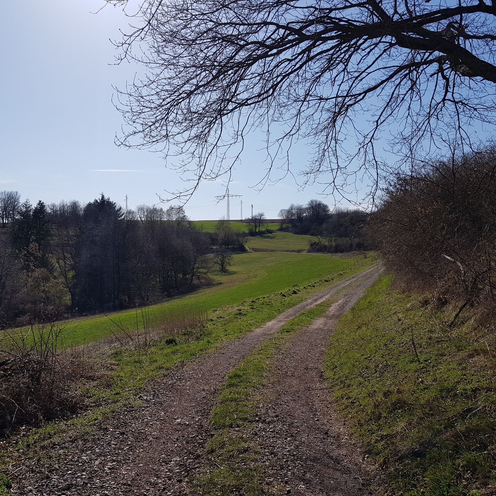
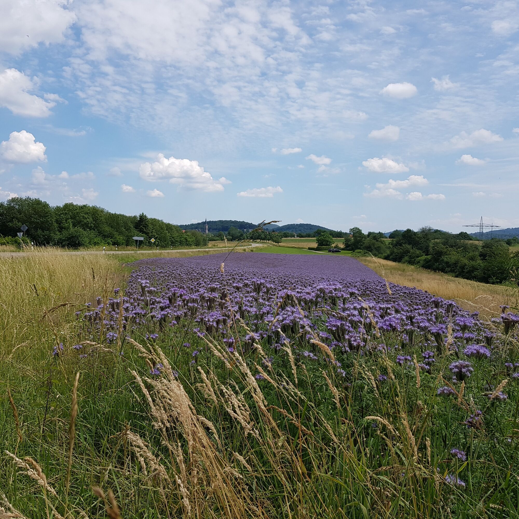
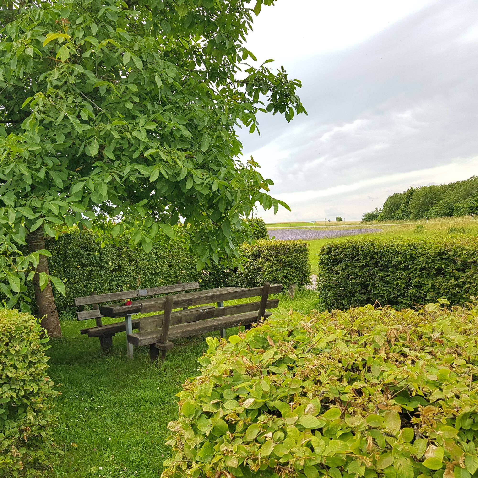
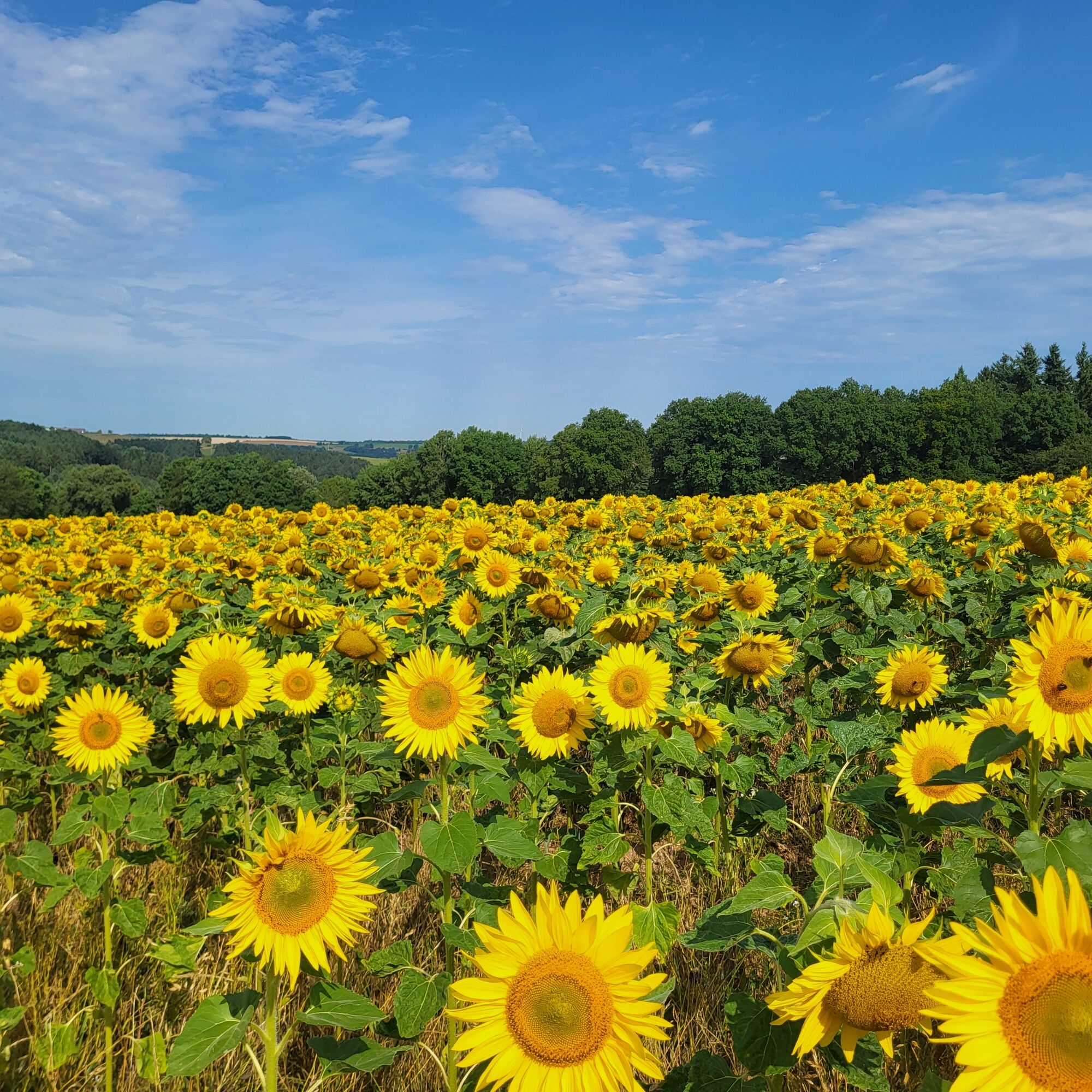
At the top of the Orleberg, there is a beautiful seating area to the left of the road, idyllically situated under a single tree, which, with its wonderful view towards Clausen, invites you to take another rest and linger. At this facility - just before the L498 between Donsieders and Clausen - you finally turn left to walk about 1.4 kilometers through meadows and fields over the Orleberg towards Klinkenberg. In the meantime, you also cross the L482 between Rodalben and Donsieders. This section offers a completely different panorama, with no forest but a clear view of the idyllic rural area and the picturesque village of Clausen. The path finally leads to the former district road.
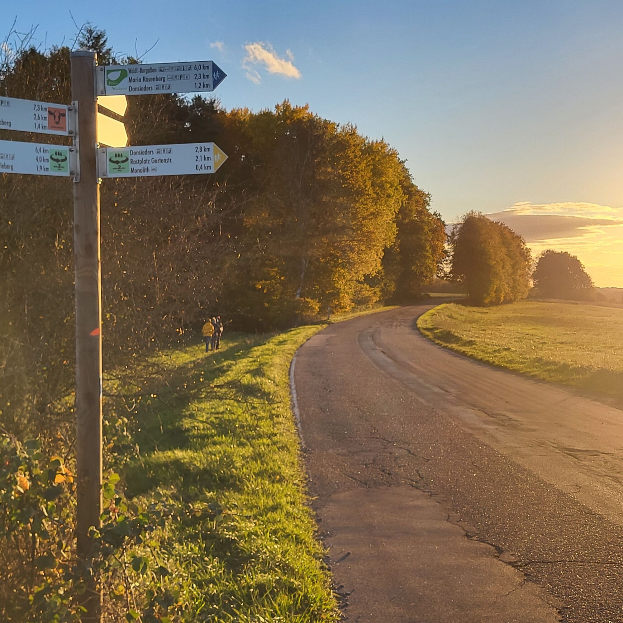
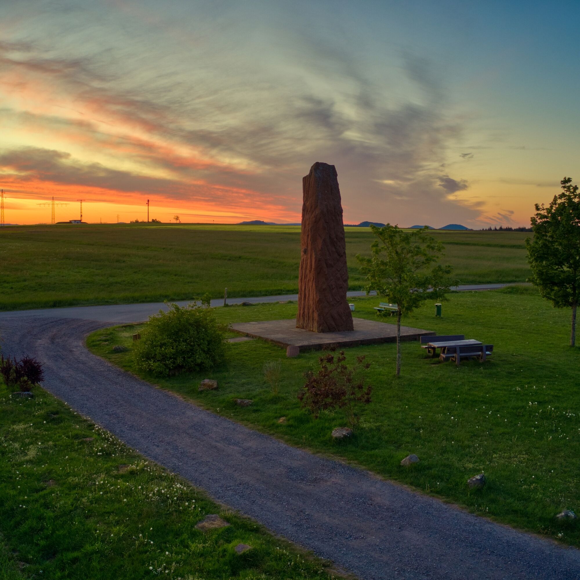
Once there, if the weather is fine, you should definitely plan a detour to the north-west via Höhgasse to the sandstone monolith above the village of Donsieders, which is impressive even from a distance.There is a plaque on it with a poem about the local legend that gave Donsieders its name, and from here you have a breathtaking view over the Sickinger Höhe as far as the Saarland. The numerous seating areas are perfect for a picnic. The sunsets here are also legendary and can be enjoyed from one of the three comfortable benches.
Back on the former district road, head south on a path that follows the route of the Palatinate Forest Trail for around 500 meters. Then take a sharp left onto a narrow path about 200 meters long, which leads slightly downhill to the forest nature trail, which you turn left onto.
Before you turn onto the path, however, you have the opportunity to stop off on the other side at the Joggelhütte, which is only about 100 meters away and has a large, beautiful beer garden as well as cosy dining rooms.
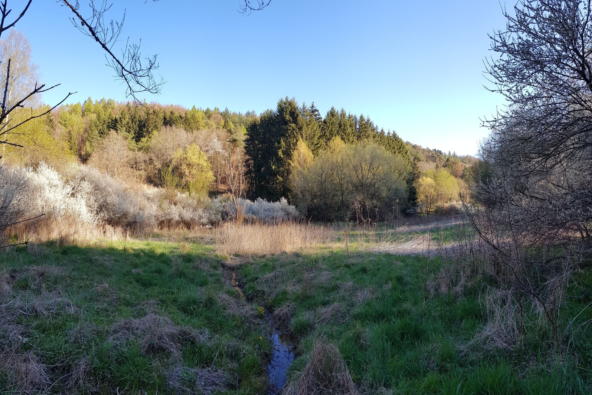
The forest nature trail is equipped with numerous information boards on wooden stands, which give visitors an understanding of the local flora and fauna as well as the tasks of hunting and beekeeping. After about 1.4 kilometers, you finally leave this relatively flat forest path to turn right onto a steep path heading south into the valley shortly before the Katzenbusch forest parking lot. Passing the Rodalben shooting club, you reach the Am Haweracker valley, where you turn right. Following the valley path in a westerly direction, you finally come to the idyllic Lindersbach Valley with its marshy meadows and wooded areas along the water.
The path now bends to the north and leads almost flat to the "Goldbrünnel", a small, enclosed spring to the left of the route. After the spring, turn left and then immediately left again. Follow the farm track first to the south and then to the southwest and you will soon reach the sports hall of the vocational school. From here, follow Gabelsberger Straße - past the bus station and the FC 06 Rodalben soccer pitch - to the parking lot of the TSR hall, which was also the starting point of the hike.
Here, the TSR sports bar offers those who have not already stopped off somewhere else the opportunity to enjoy the end of this all-round successful tour with delicious food and cool or warm drinks.
Da
Da
Da
Particularly in the fall, you should also be aware that leaves lying on the ground can hide uneven surfaces, roots, stones or holes in the path. After thunderstorms or rainstorms, trees can still fall over or branches can fall down. Especially in adverse weather conditions, muddy and slippery passages can occur on near-natural paths. This type of path impairment must always be expected on hikes. If you are of the opinion that certain sections of the trail are not passable, it is better to avoid them.
In addition, not all rocks or slopes are secured with ropes or railings. Surefootedness is required in some places. Rocks should not be climbed, especially by children, as the brittle sandstone in particular poses a risk of falling for non-professionals. Never climb over railings and fall protection (danger to life).
Note- We always endeavor to announce all closures that occur due to forestry work or hunting parties on this platform. Nevertheless, there are situations in which hiking trails are closed and we may not have been informed. Should you unexpectedly encounter such a trail closure or detour, we ask you to follow the instructions for your own safety.
B270, in the Donsieders-Biebermühle area change to L497 towards Rodalben, take this road until the exit Rodalben-Stadtmitte/Pirmasens, turn right onto L482 towards Clausen/Donsieders (first Pirmasenser Straße, then Lindersbachstraße) and follow this road until you reach the parking lot of the TSR-Halle, which is the start and finish point of the tour.
L482 from Pirmasens, follow it through the village in the direction of Clausen/Donsieders (first Pirmasenser Straße, then Lindersbachstraße), at the end of the village you will finally find the parking lot of the TSR-Halle on the left, which is the start and finish point of the tour.
Follow the L482 from Clausen/Donsieders in the direction of Rodalben. As soon as you enter the town, you will see the sports center and the TSR-Halle parking lot on the right, which is the start and finish point of the tour.
It takes a maximum of 15 minutes to walk from the start and finish of the tour to the hiking station via Bahnhofstrasse, Hauptstrasse and Lindersbachstrasse.
Please only park in the designated parking spaces and keep access routes for emergency vehicles and work routes in the forest clear. For overnight stays in campers and caravans, please only use designated camper sites such as in the center of Rodalben or at the Spielmannszug in Hettersbach.
T2
Am Rathaus 9, 66976 Rodalben
Tel. 06331/234-180
E-mail : tourist@graefensteiner-land.de
Travel guide page Gräfensteiner Land
Rappenteichfelsen with seating area
Hiking Park Center Palatinate Forest
Sculpture Trail Rhineland-Palatinate
Motorhome parking spaces in the center of Rodalben
Motorhome pitches In der Hettersbach
Plan a little time for a detour to the sandstone monolith above Donsieders, a mystical place with breathtaking views.
Priljubljeni izleti v okolici
- 4,8
Dahner Felsenpfad
srednjaPohodništvo 13,2 km - 4,5
Forsthaus Beckenhof - Pirmasens - Waldhaus Starkenbrunnen - Lemberg
srednjaPohodništvo 13,6 km - 4,8
Lemberg - Salzwoog - Schwamborn-Quelle - Teufelstisch
srednjaPohodništvo 11,9 km - 3,8
Dahn - Lachberg - Vogelsberg
srednjaPohodništvo 18,7 km - 3,7
Eiderbachtal - Hofstätten - 7 Buchen - Annweiler Forsthaus - Eiderbachtal-Parkplatz
srednjaPohodništvo 11,3 km - 5,0
Lembergblick - Rothenberg - Mühlberg - Waldhaus Drei Buchen
srednjaPohodništvo 9,72 km - 5,0
Rodalber rock hiking trail
težkoPohodništvo 44,3 km - 4,7
Tour D of the PWV Rodalben
srednjaPohodništvo 9,79 km Münchweiler Höhenwanderweg - complete route
težkoPohodništvo 16,6 km- 5,0
Bear cave tour Rodalben
srednjaPohodništvo 8,61 km
Pohodništvo in sledenje


Ne zamudite ponudb in navdiha za naslednje počitnice
Vaš e-poštni naslov je bil dodan na poštni seznam.


