







Medical spa hiking trail MK I yellow
These are often also called terrain hiking trails and are excellently suited for health-oriented hiking.
The differentiation of the load levels is color-coded and corresponds to the loads listed below....
These are often also called terrain hiking trails and are excellently suited for health-oriented hiking.
The differentiation of the load levels is color-coded and corresponds to the loads listed below. The start of all trails is at the Spa Park Bad Neuenahr.
Yellow routes
easy, up to 50 W for 15 min
Through Bad Neuenahr park areas (MK I)
To Josefsbrücke in Walporzheim (MK II) (not yet accessible due to flooding)
Along the Ahr to Heimersheim (MK III) (not yet accessible due to flooding)
Blue routes
medium, 50 to 100 W for 20 min
To Lourdes Chapel and through Bachem vineyards (MK I)
Around the Maibach Farm in Ahrweiler (MK II)
Over the Steckender to the climate station (MK III)
Red routes
difficult, over 100 W for at least 15 min
Over the Neuenahr mountain (MK I)
To the Landskrone castle ruins (MK II)
To the viewing pavilion Bunte Kuh (MK III) (not yet accessible due to flooding)
To the viewing pavilion Katzley (MK IV) (not yet accessible due to flooding)
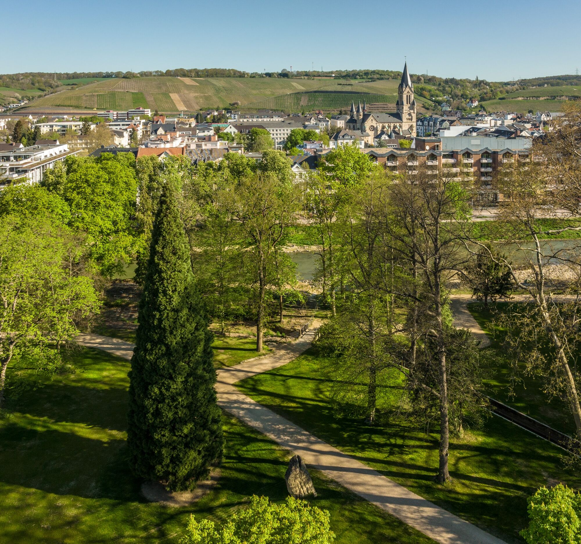
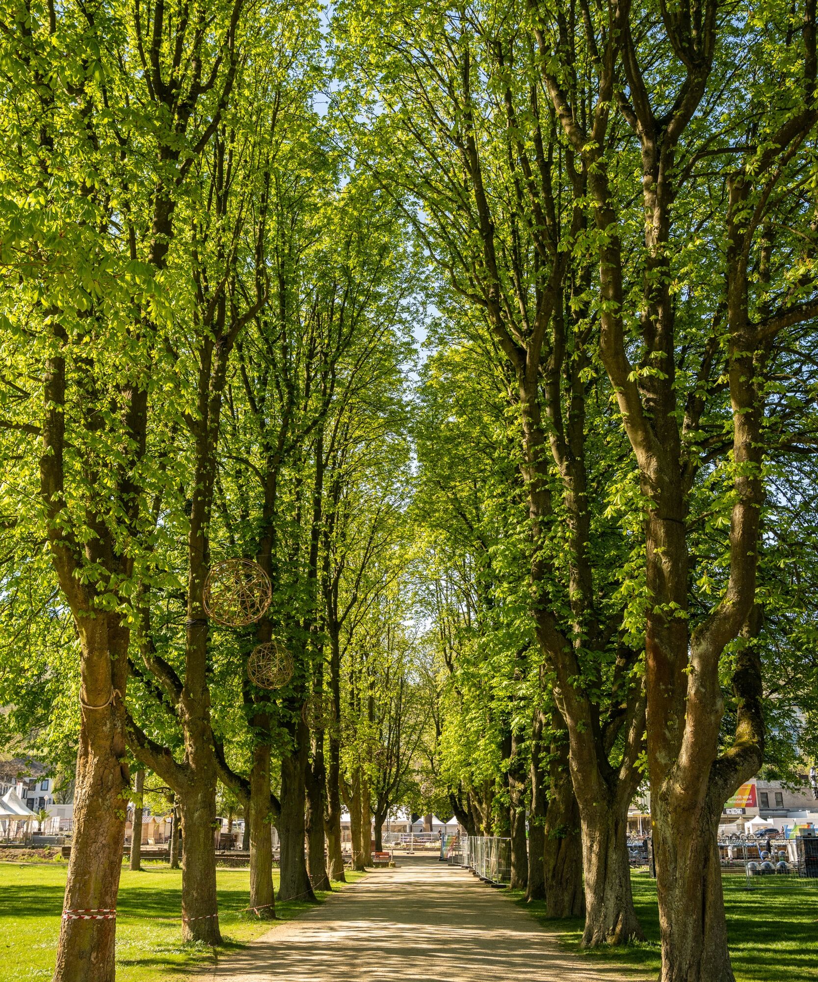
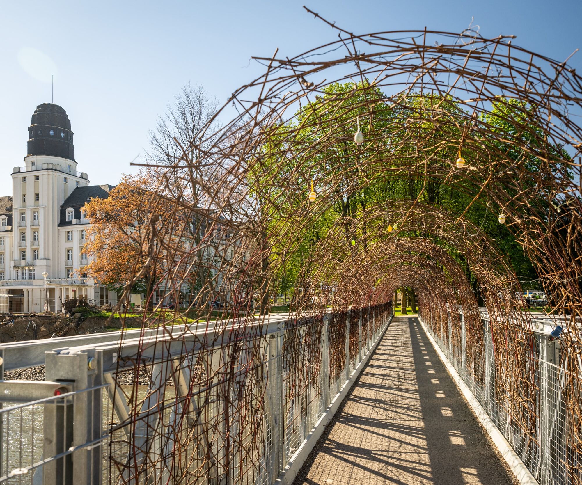

THROUGH THE PARKS OF BAD NEUENAHR MK 1 Yellow
Spa Park – Steigenberger Hotel – Spa Garden Bridge – Martin Luther Church – Landgrafen Bridge – Lenné Park – Kaiser Wilhelm Park – Swan Pond – back along the Ahr – Empress Auguste Victoria Park – Rose Garden – Amsel Valley Bridge – Dahlia Garden – Spa Park
Sturdy footwear.
There are no safety instructions.
Via Autobahn 61 or Federal Road 257
Ahrtalbahn or bus connection.
Several paid parking spaces are available at the station and in the town.
Get to know the diverse park landscapes of Bad Neuenahr throughout the seasons. A total of six parks decorate the cityscape along the Ahr: Kaiser Wilhelm Park, Lenné Park, Spa Park, Empress Auguste Victoria Park, Rose Garden, Dahlia Garden.
 Pridobite vpogled
Vedno v živo na mestu z več kot 9.500 spletnimi kamerami. bergfex Kot uporabnik Pro si lahko zdaj ogledate ustrezne spletne kamere za številne izlete v aplikaciji izleti iz. Tako si lahko neposredno ogledate trenutne razmere.
Pridobite vpogled
Vedno v živo na mestu z več kot 9.500 spletnimi kamerami. bergfex Kot uporabnik Pro si lahko zdaj ogledate ustrezne spletne kamere za številne izlete v aplikaciji izleti iz. Tako si lahko neposredno ogledate trenutne razmere.
Priljubljeni izleti v okolici
-
4.4
Andernach - Trasshöhle - Teufelsknochen - Siebengebirgsblick
srednjaPohodništvo 12.6 km -
4.0
Teufelsloch-Höhenwanderung
srednjaPohodništvo 7.44 km -
4.7
Round route Bad Neuenahr No. 5 - Through the Ramersbach Forest
srednjaPohodništvo 9.31 km -
Weinwanderung Dernau nach Ahrweiler
Pohodništvo 23.4 km -
4.7
Rundwanderung Rech / Steinerberg
srednjaPohodništvo 14.2 km -
5.0
Kasbachtal
svetlobaPohodništvo 10.2 km -
Burg Are - Engelsley Nord - Süd und im Tal zurück
težkoGorski pohodništvo 3.63 km -
5.0
Leichte Rund-Wanderung Dernau / Mayschoß
svetlobaPohodništvo 5.46 km -
3.5
Rund um die Safenburg
svetlobaPohodništvo 8.10 km -
5.0
Rund um Mayschoß und Altenahr
srednjaPohodništvo 17.3 km
Pohodništvo in sledenje


Ne zamudite ponudb in navdiha za naslednje počitnice
Vaš e-poštni naslov je bil dodan na poštni seznam.





