
Navigacija po spletni strani
Pridobite to turo v svoj mobilni telefon
Zemljevid
Deutsches-Eck-Route
srednja
Kolesarjenje
75.80 km
Skenirajte kodo QR in začnite navigacijo v aplikaciji bergfex.
QR Code
Pohodništvo in sledenje

Deutsches-Eck-Route

Razdalja
75.80 km
Trajanje
05:00 h
Ascent
219 hm
Morska gladina
61 - 461 m

Stopnja težavnosti: 3

Prenos skladbe
Zemljevid
Deutsches-Eck-Route
srednja
Kolesarjenje
75.80 km

From Emmelshausen via the Schinderhannes-Untermosel cycle path to Burgen. You cycle on the right side of the Mosel and switch in Niederfell to the left side of the Mosel towards Kobern-Gondorf. Attention!...

Opis

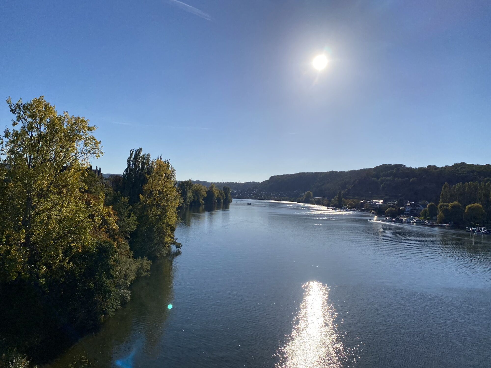
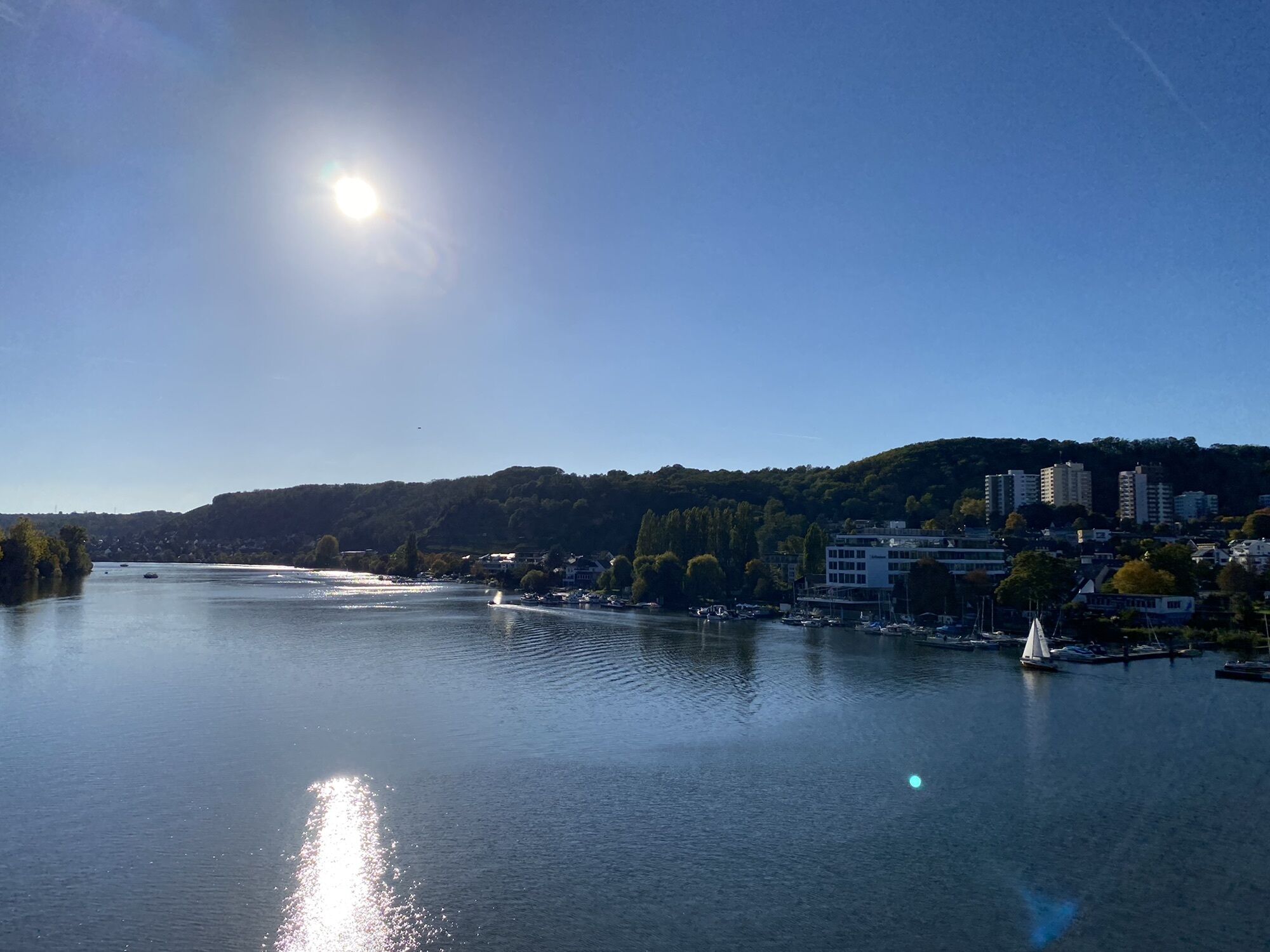
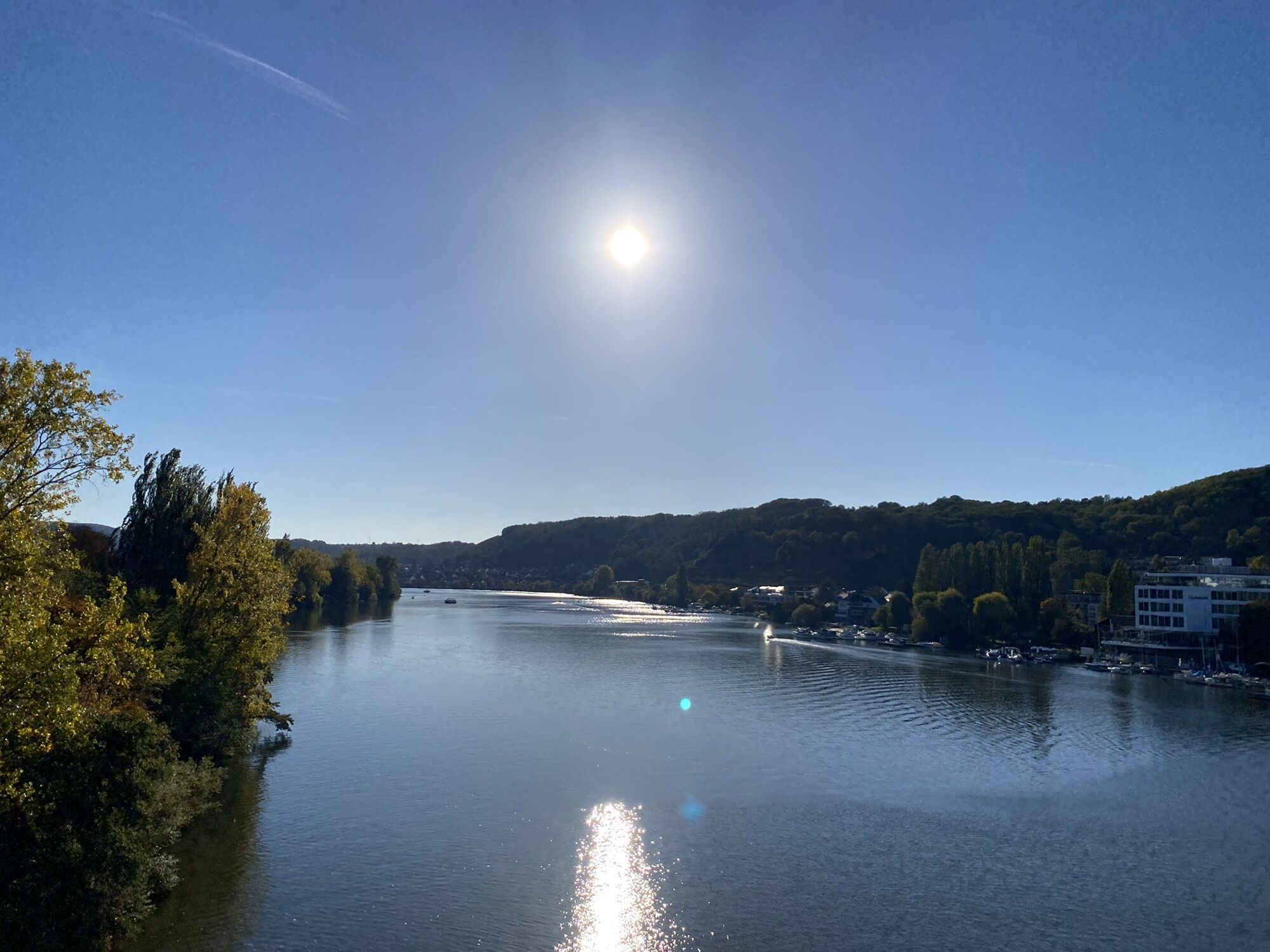
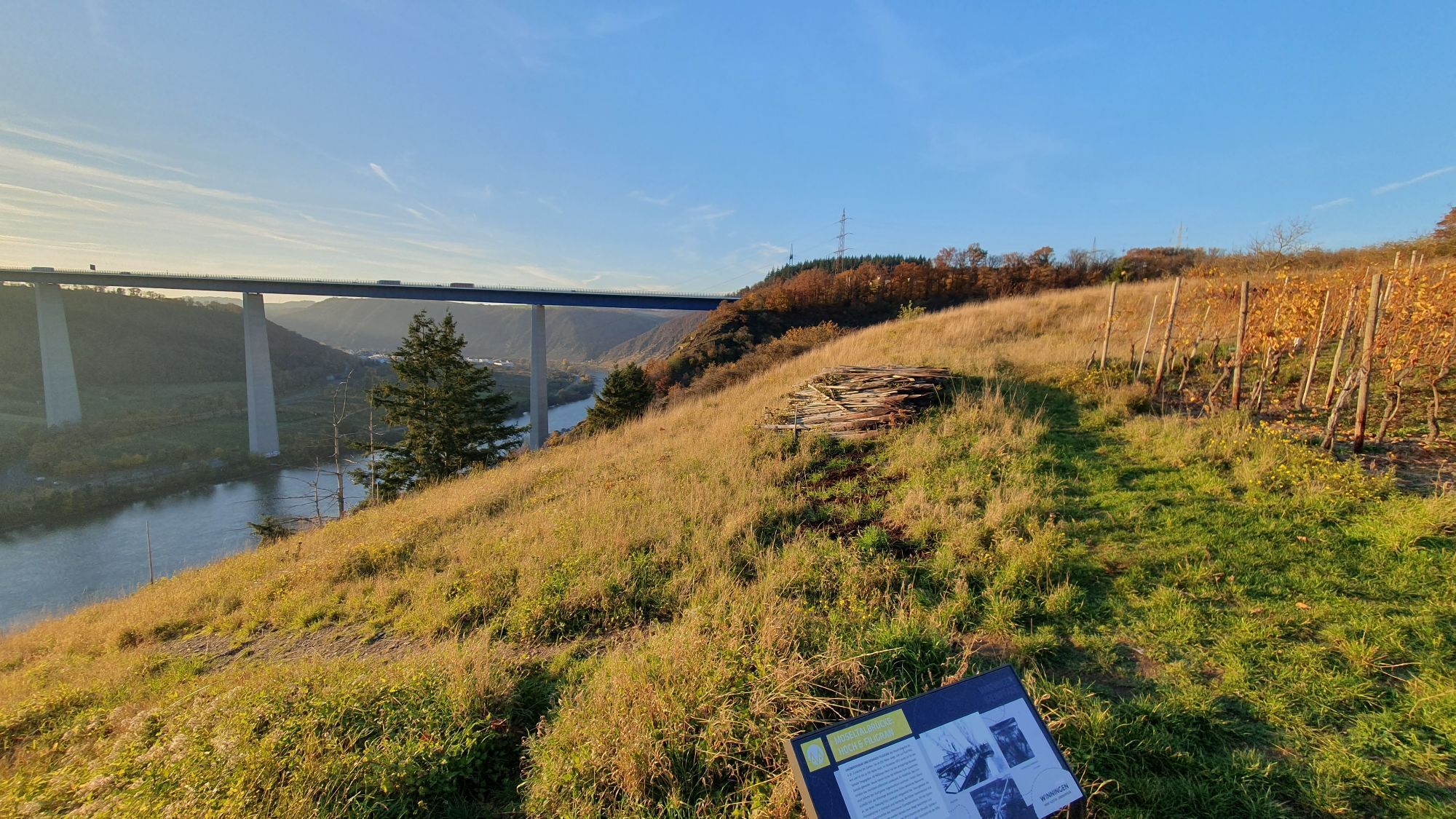
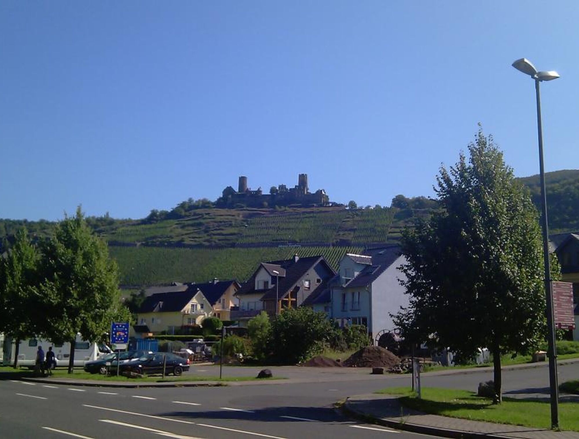
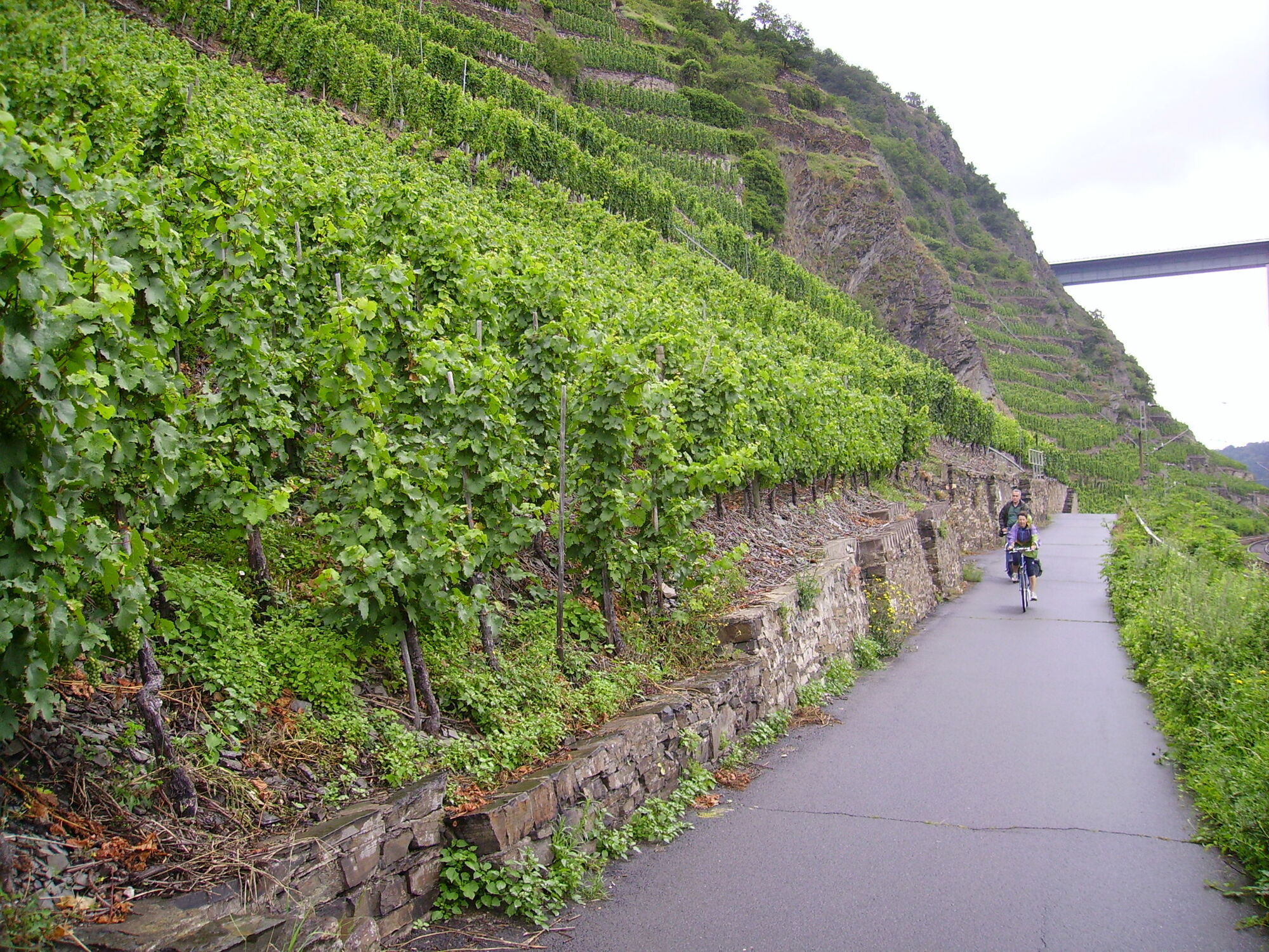
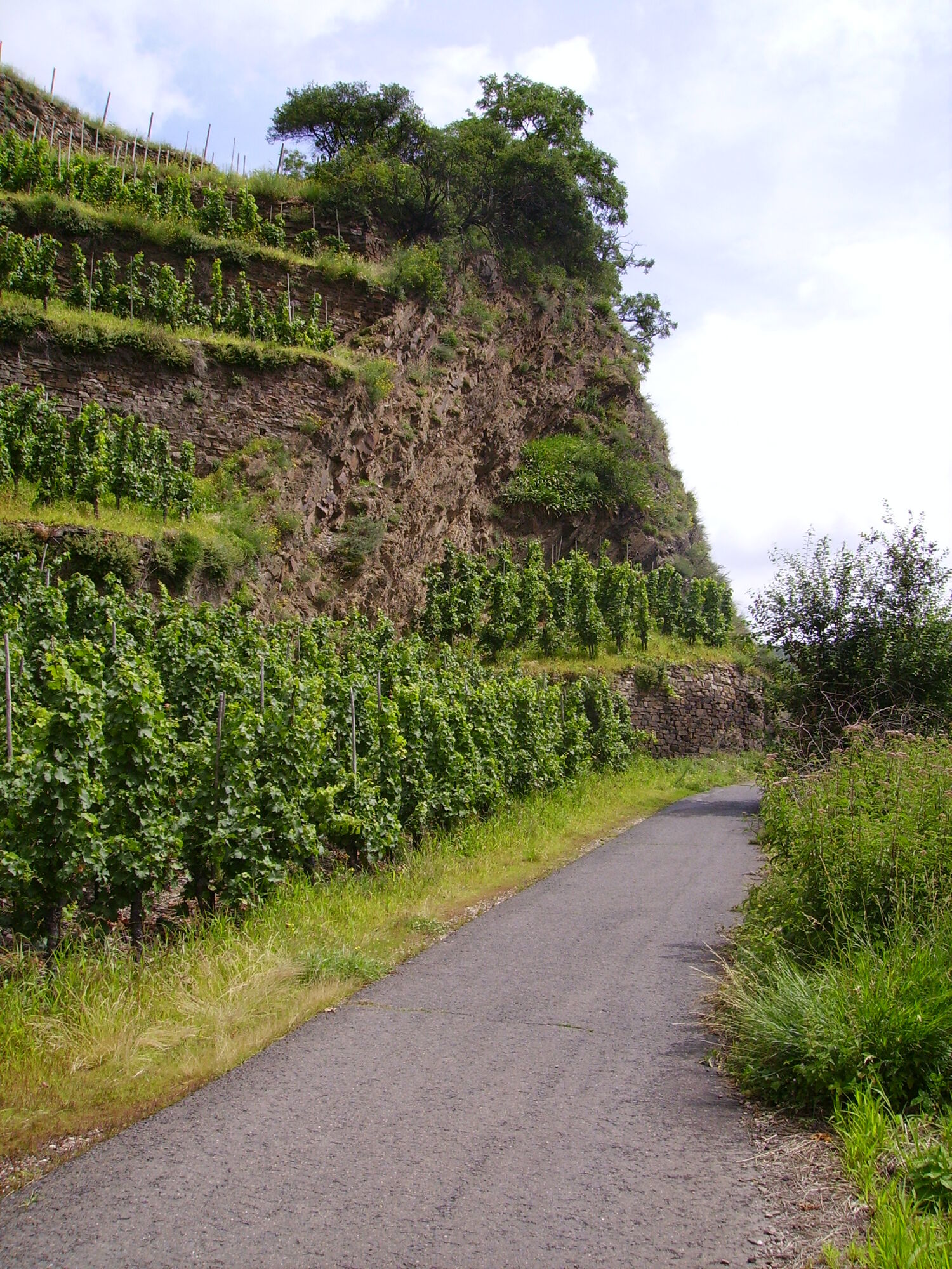
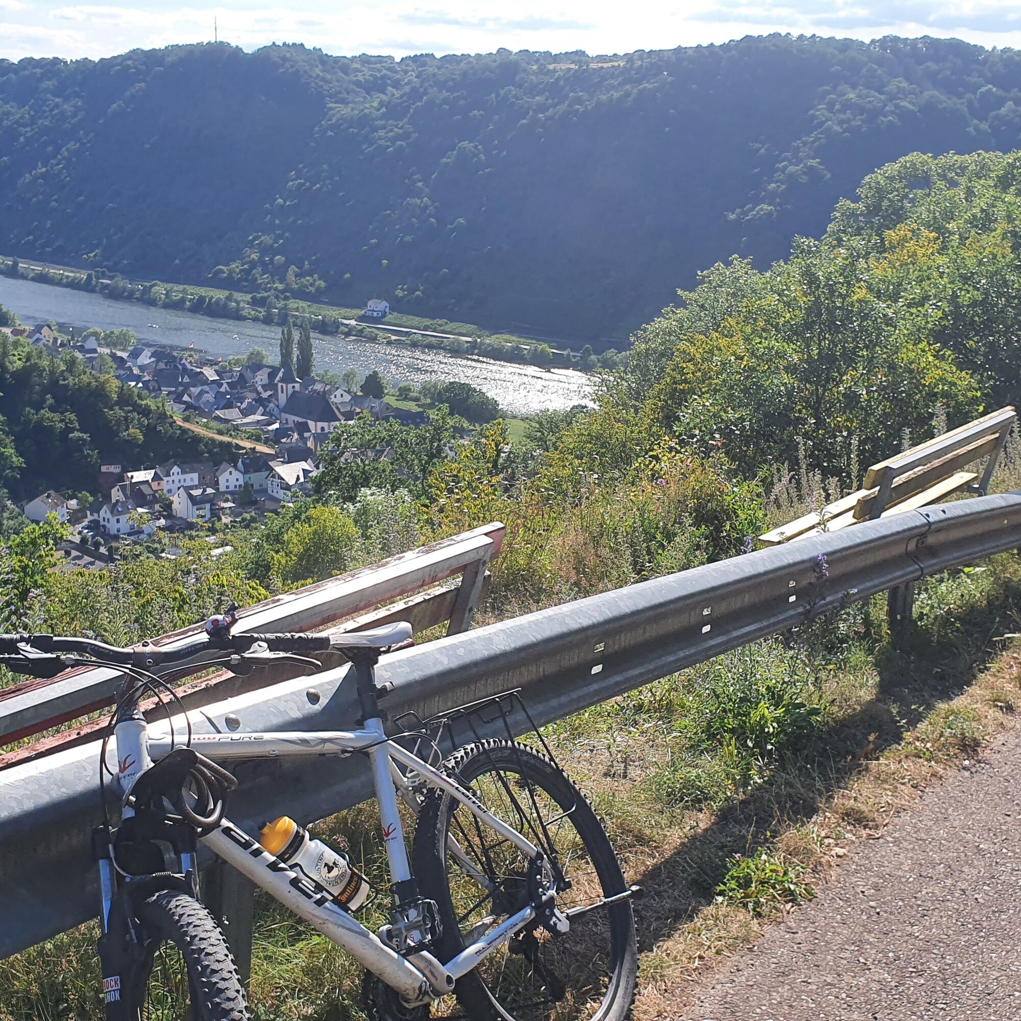
From Emmelshausen via the Schinderhannes-Untermosel cycle path to Burgen. You cycle on the right side of the Mosel and switch in Niederfell to the left side of the Mosel towards Kobern-Gondorf. Attention! From here the cycle path runs through the vineyards of the Terrassenmosel (not along the B 49!) through the well-known wine village of Winningen.

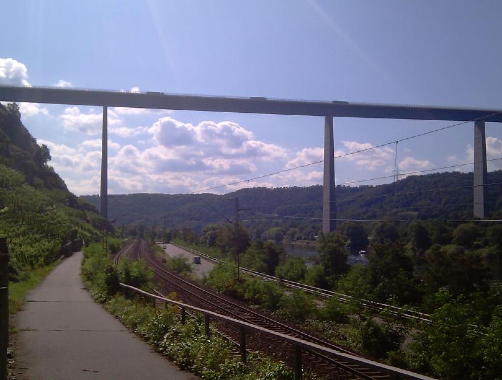
In Koblenz-Metternich you have two options for crossing the Mosel: either over the cycle path on the Kurt-Schuhmacher bridge or over the lock shortly before the Deutsches Eck. Here you have to overcome a few steps.

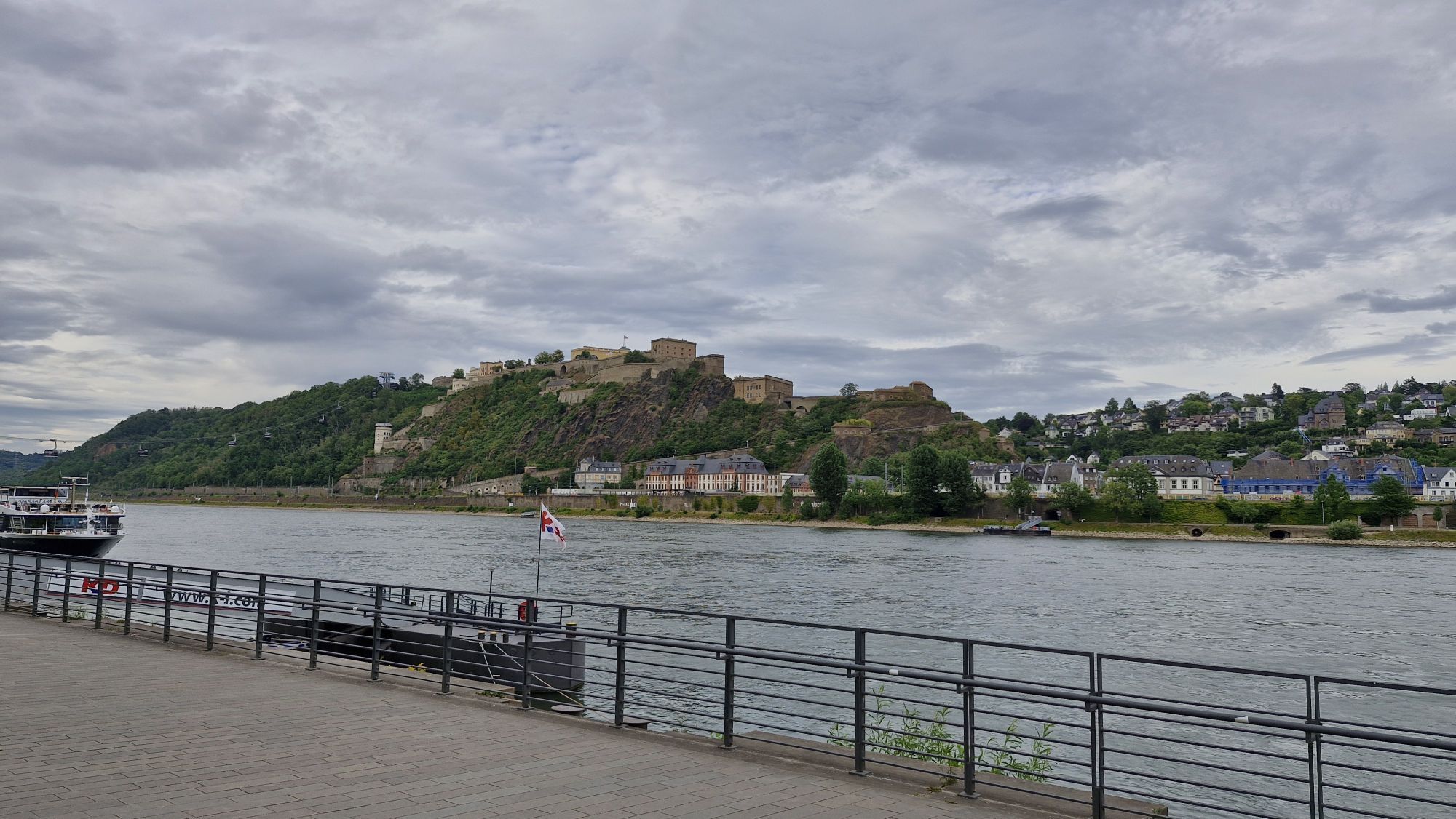
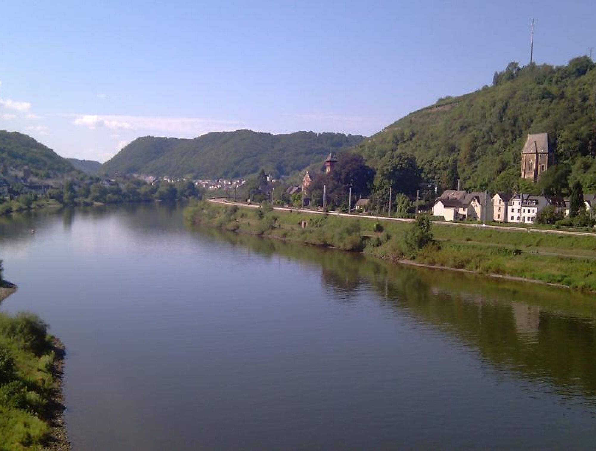
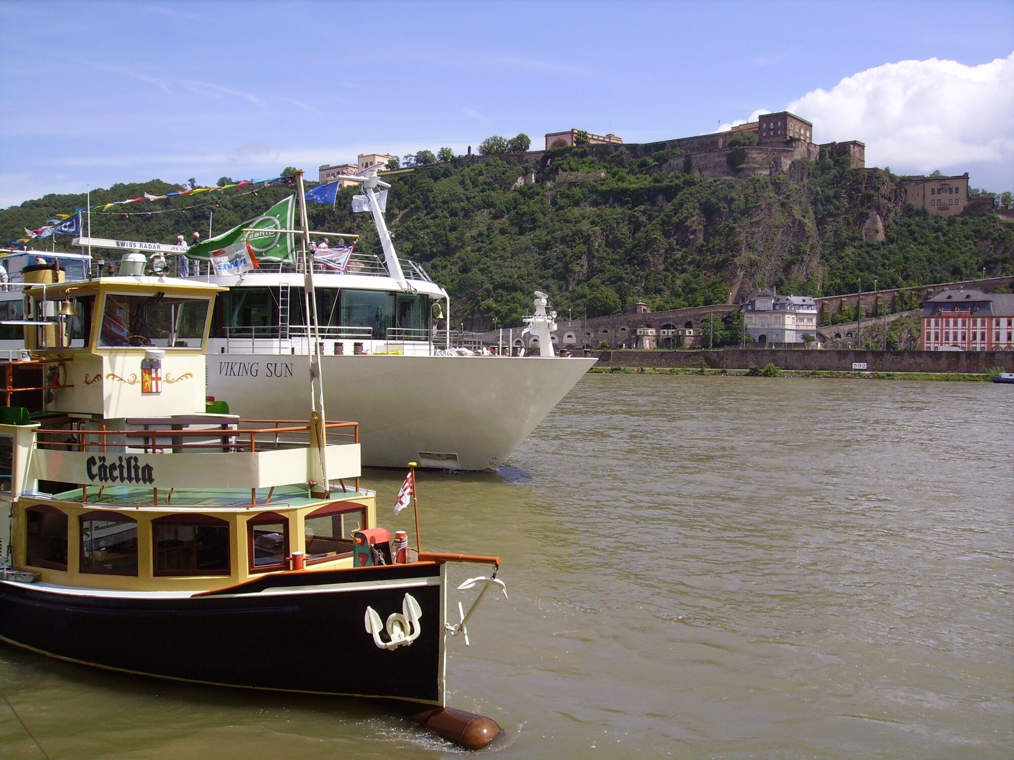
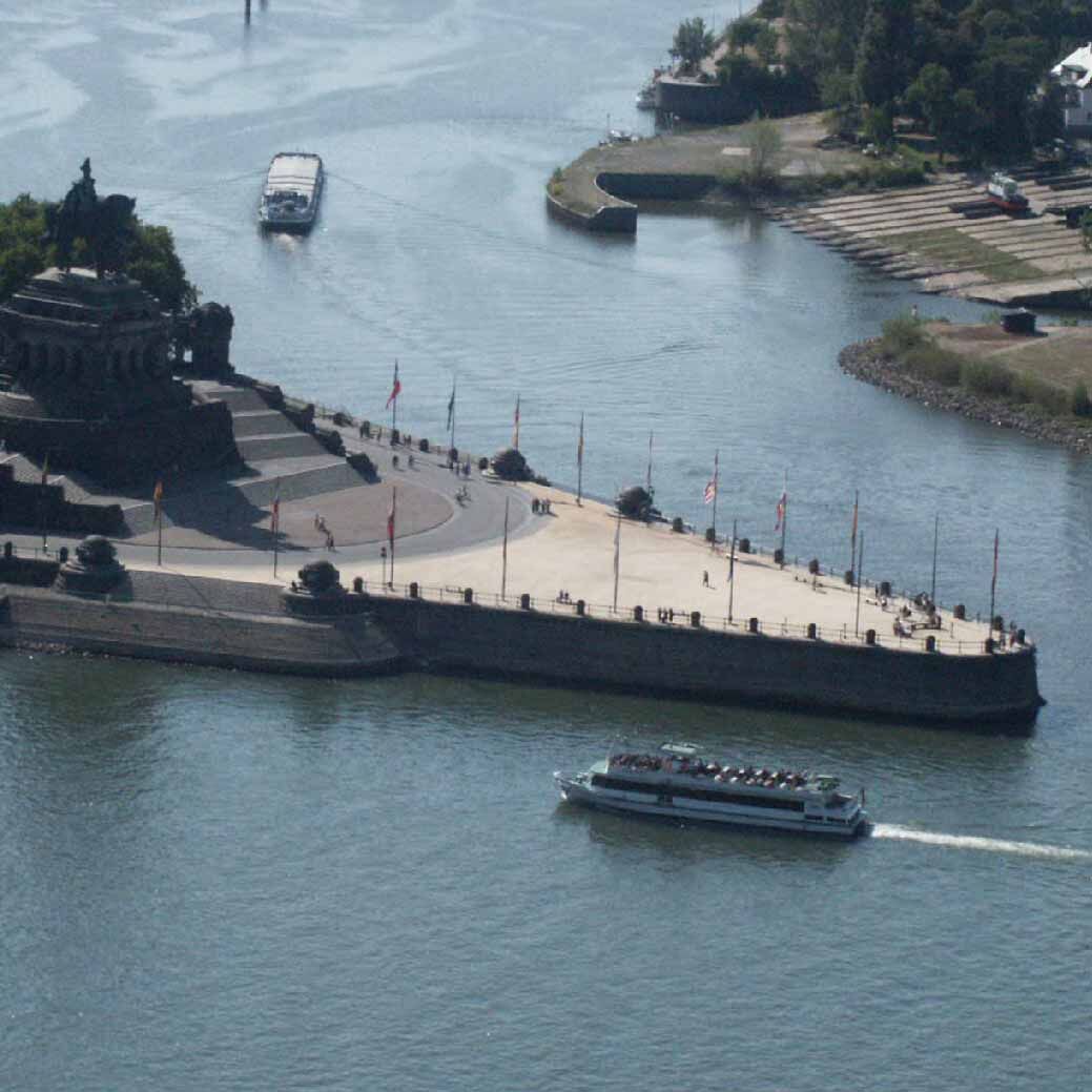
Back on the right side of the Mosel, the route continues downstream to the "Deutsches Eck with the imposing Kaiser Wilhelm monument" where the Mosel flows into the Rhine.

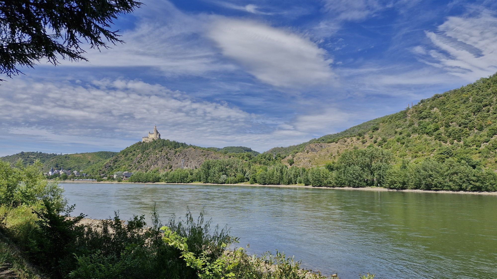
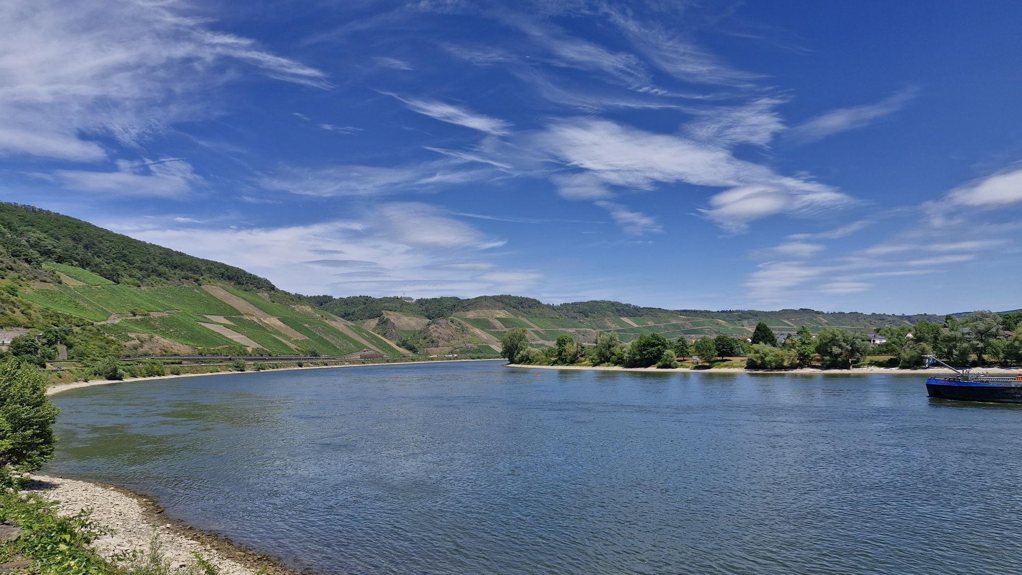
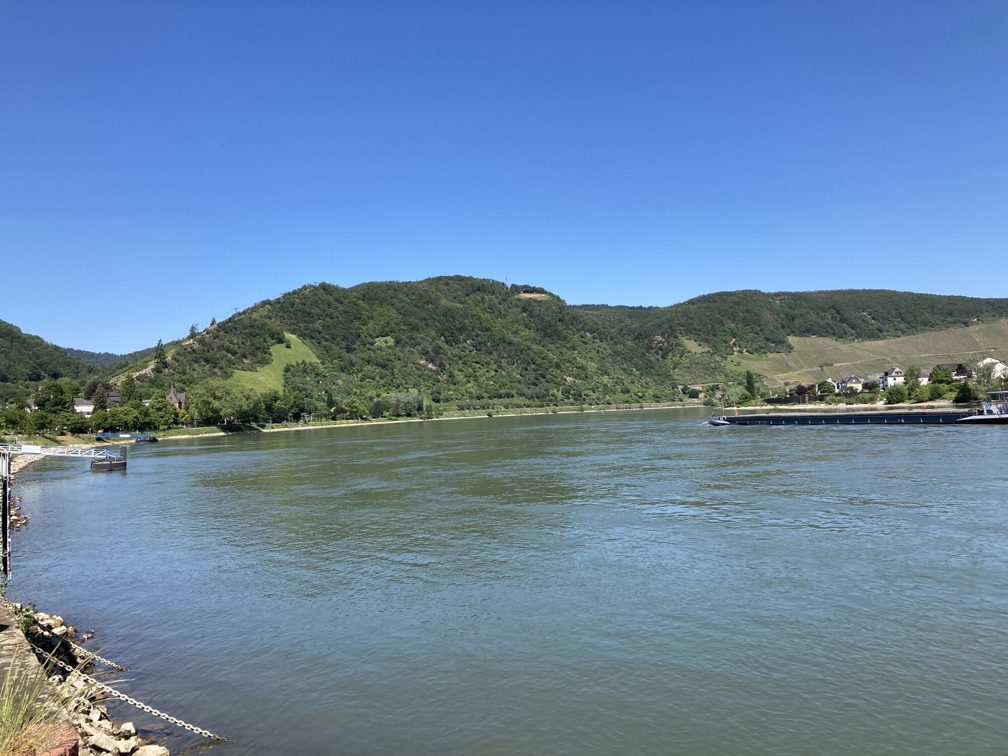
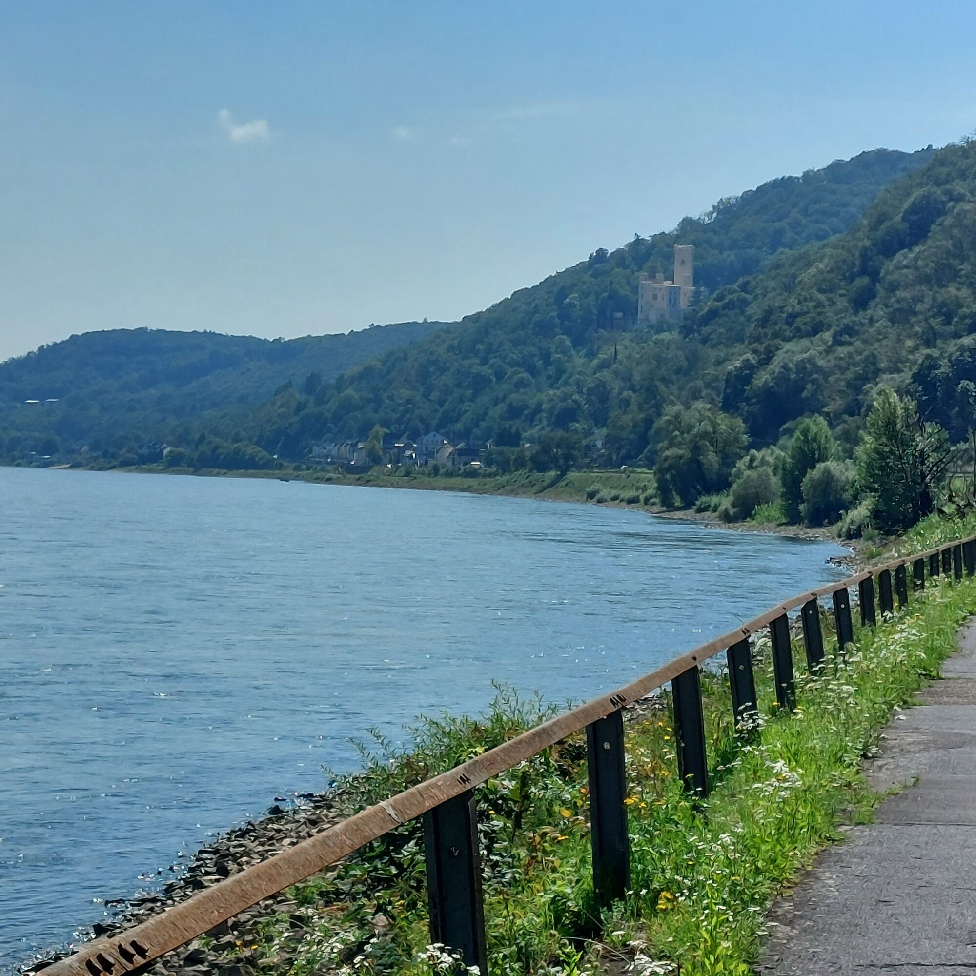
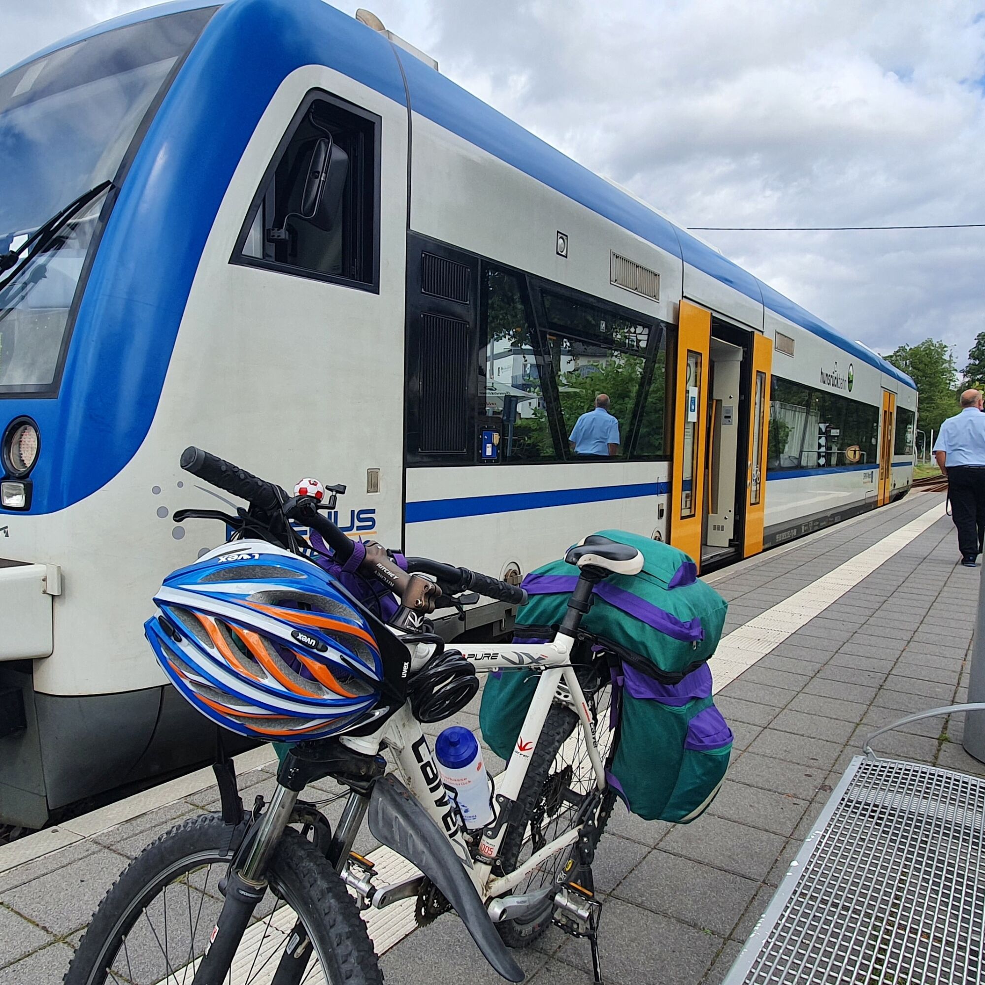
Further on, you follow the Rhine cycle path (EV15, D8) through part of the Upper Middle Rhine Valley, which with its numerous castles and palaces is a UNESCO World Heritage Site, for a further 23 kilometers to Boppard. Return transport with the Hunsrück railway.

Pot
Emmelshausen
(466 m)
Mesto
0.1 km
Burgen
(78 m)
Vas
21.0 km
Lehmen
(84 m)
Vas
32.7 km
Grossheiligenhäuschen
(81 m)
Kraj čaščenja
45.7 km
Alt-St. Servatius
(81 m)
Kraj čaščenja
46.5 km
Lahnstein
(74 m)
Mesto
60.7 km
Peterskapelle Spay
(72 m)
Kraj čaščenja
69.2 km
Pot
Zemljevid
Deutsches-Eck-Route
srednja
Kolesarjenje
75.80 km
Emmelshausen
(466 m)
Mesto
0.1 km
Pizzeria Anaya
(437 m)
Restavracija
0.9 km
Liesenfeld
(433 m)
Soseska
1.2 km
Besembennerkreisel
(407 m)
Koridor/teren
4.1 km
Gondershausen
(388 m)
Vas
4.8 km
Mermuth
(343 m)
Vas
6.6 km
Grieshof
(355 m)
Poravnava
7.8 km
Beulich
(314 m)
Vas
10.2 km
Morshausen
(334 m)
Vas
13.7 km
Burgen
(78 m)
Vas
21.0 km
Hatzenport
(81 m)
Vas
23.7 km
Brodenbach
(78 m)
Vas
25.5 km
Löf
(84 m)
Vas
26.9 km
Alken
(87 m)
Vas
28.1 km
Kattenes
(79 m)
Vas
28.9 km
Moselgasthaus Schweisthal
(76 m)
Restavracija
29.7 km
Pizzeria Roma
(77 m)
Restavracija
29.7 km
Oberfell
(87 m)
Vas
30.0 km
Lehmen
(84 m)
Vas
32.7 km
Restaurant und Hotel Bella Italia
(75 m)
Restavracija
33.6 km
Niederfell
(79 m)
Vas
33.7 km
Kobern-Gondorf
(75 m)
Železniška postaja
35.3 km
Kobern-Gondorf
(84 m)
Vas
36.0 km
Dieblich
(88 m)
Vas
37.5 km
Belltal
(82 m)
Poravnava
38.4 km
Im Breiten Weg
(79 m)
Koridor/teren
40.5 km
Am Breiten Weg
(83 m)
Koridor/teren
40.7 km
Im Leichen
(86 m)
Koridor/teren
40.8 km
Aufm Acker
(77 m)
Koridor/teren
41.0 km
Winningen
(79 m)
Vas
41.7 km
Katholische Kirche Winningen
(73 m)
Kraj čaščenja
42.2 km
Winningen (Mosel)
(71 m)
Železniška postaja
42.4 km
Lay
(79 m)
Soseska
44.1 km
Grossheiligenhäuschen
(81 m)
Kraj čaščenja
45.7 km
Güls
(78 m)
Soseska
46.3 km
Alt-St. Servatius
(81 m)
Kraj čaščenja
46.5 km
Pizzeria La Palma
(80 m)
Restavracija
46.5 km
Restaurant Grebel
(81 m)
Restavracija
46.5 km
Altstadt
(72 m)
Soseska
52.9 km
Seilbahn Koblenz Talstation
(69 m)
Postaja gondole
53.6 km
KD Anleger Koblenz
(60 m)
Pristanišče za trajekte
53.7 km
Koblenz
(73 m)
Mesto
54.6 km
Südliche Vorstadt
(80 m)
Soseska
55.6 km
Oberwerth
(77 m)
Soseska
57.0 km
Königsbach
(116 m)
Soseska
58.7 km
Siechhaustal
(95 m)
Soseska
59.4 km
Koblenz-Stolzenfels
(78 m)
Poravnava
60.6 km
Lahnstein
(74 m)
Mesto
60.7 km
Rhens
(86 m)
Mesto
63.9 km
Rhens
(72 m)
Železniška postaja
64.1 km
Brey
(86 m)
Vas
64.9 km
Zum Grünen Brunnen
(75 m)
Restavracija
67.0 km
Hotel & Gasthof "Anker"
(68 m)
Restavracija
68.0 km
Spay
(73 m)
Vas
68.0 km
Zur Schottel
(68 m)
Restavracija
68.3 km
Peterskapelle Spay
(72 m)
Kraj čaščenja
69.2 km
Osterspai
(71 m)
Vas
70.8 km
Boppard
(78 m)
Mesto
75.6 km
Boppard Hbf
(78 m)
Železniška postaja
75.8 km
Informacije o turneji

Hunsrück, Mosel and Rhine

From the Hunsrück heights to the Mosel up to the Deutsches Eck in Koblenz and upstream along the Rhine to Boppard.

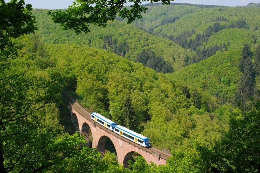
Return transport with the Hunsrück railway.
Tehnologija
3 / 6
Stanje
4 / 6
Pokrajina
5 / 6
Izkušnje
6 / 6
Najboljši letni čas
Jan
Feb
Mar
Apr
Maj
Jun
Jul
Avg
Sep
Okt
Nov
Dec
Skupna turneja
Zemljevid
Deutsches-Eck-Route
srednja
Kolesarjenje
75.80 km
Napaka
Zgodila se je napaka. Prosimo, poskusite znova.
Informacije o poti
Pot

The route is signposted, but there is no dedicated logo.

Oprema

Helmet

Mobile phone with full battery

Cash, ID

Navigation device, map material

Air pump / compressed air cartridge

Spare tube

Sufficient drinks

Energy bars / gel

Wind / rain jacket

Varnostna navodila

A roadworthy bicycle is mandatory.

Observe traffic rules, be mindful of other road users and ride at an appropriate speed, especially on descents. Be considerate of other cyclists and pedestrians.

Informacije o prihodu
Prihod

A 61 exit Emmelshausen

Javni prevoz

Köln-Düsseldorfer ship Koblenz - Boppard

Hunsrück railway Boppard - Emmelshausen

Parkirišče

Free parking is available at the parking lot at ZaP, Rhein-Mosel-Str. 45, 56281 Emmelshausen

Dodatne informacije in nasveti
Stopnja težavnosti

3

Dodatne informacije

Note: at Boppard station, the bike must be transported over stairs to the platform. There is no bike rail!

The route is signposted, but it does not have its own trail logo.

Bike-Region Hunsrück-Nahe

Nasveti

Boat trip (instead of bike route) from Koblenz to Boppard.

Be sure to check the schedule of the Köln-Düsseldorfer for the current day.

Connection Hunsrück railway.

Še ni pregledov
Napišite pregled

Mnenja pomagajo drugim uporabnikom pri izbiri naslednje pustolovščine. Ocenite samo izlet, ne pa tudi vremena ali prigrizka.

Izberite eno od zvezdic, da ocenite ogled
Slaba turneja
Šibka turneja
Povprečna turneja
Dobra tura
Odlična tura
bergfex logo Pridobite vpogled Vedno v živo na mestu z več kot 9.500 spletnimi kamerami. bergfex Kot uporabnik Pro si lahko zdaj ogledate ustrezne spletne kamere za številne izlete v aplikaciji izleti iz. Tako si lahko neposredno ogledate trenutne razmere.
Pohodništvo in sledenje

Pohodništvo in sledenje

Pohodništvo in sledenje
Zaradi več kot 550.000 predlogov izletov, podrobnih zemljevidov in intuitivnega načrtovanja poti je aplikacija obvezna oprema za vse ljubitelje narave.
bergfex