







Cross-border bike circuit "Peace Route"
Stopnja težavnosti: 3
The Peace Route is a difficult 48 km circuit marked with the symbol of the dove of peace.
It requires good physical condition due to the many climbs.
Several remarkable points of interest on the circuit:...
The Peace Route is a difficult 48 km circuit marked with the symbol of the dove of peace.
It requires good physical condition due to the many climbs.
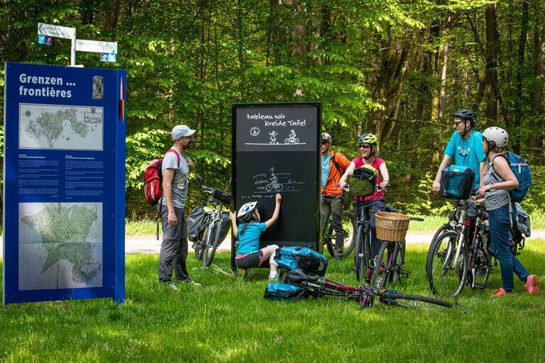
Several remarkable points of interest on the circuit: “Black Table” with information panels on Franco-German relations, Area1 - former special weapons depot of the Cold War presenting 12 interpretation panels, the Biosphere House with the treetop path...
The elegant half-timbered villages on the German and French sides invite you to take a break.
Attention!
Always be friendly and considerate to everyone you meet along the way.
Take care of nature, do not destroy plants and always stay on the paths.
Remember to take your waste with you.
Please always keep your dog on a leash.
Park only in designated parking spaces.
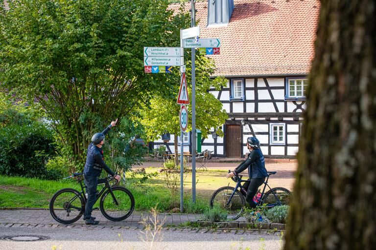
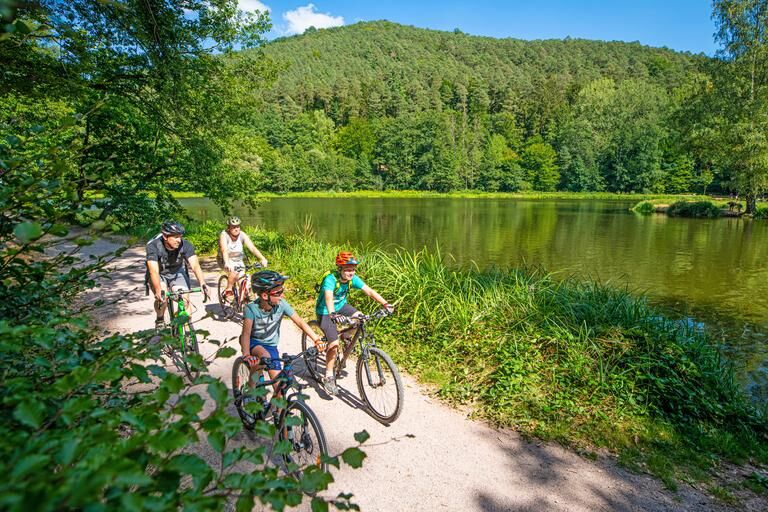
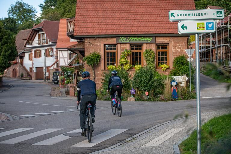
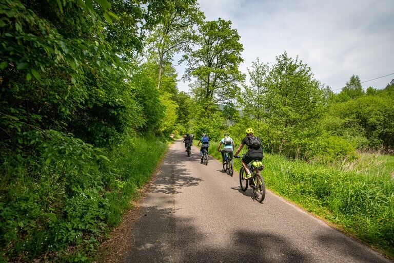

From Bundenthal station, the route leads onto a paved cycle path passing the Falkenmühle to the exit of the village.
Here, turn right onto the cycle path, climb the mountain to the K46 junction, then descend into the picturesque village of Nothweiler.
Take Lembacher Straße then the cycle path, which climbs slightly then descends to Petit Wingen /D then towards Wingen /F.
The route continues through meadows and colorful fields to the town of Lembach / F.
From there, we continue to the campsite with the Fleckenstein pond, which invites swimming. The route continues along the D925 until it turns left onto the newly created road, which runs along a grove towards Niedersteinbach / F, with its many half-timbered houses.
Via the D3 road, we reach Obersteinbach / F.
At the end of the village, we turn right onto the cycle path to the Lutzelhardt Forester's House. The fortified path continues across the Franco-German border to the “Black Table” with explanations about this subject and the eventful history of the two nations. On a paved cycle path, the circuit now crosses the former American depot Area1, a historical relic of the Cold War.
An informative circular route provides much information. Continue to Fischbach-Petersbächel.
On the Vosges road and after the Unterpetersbächlerhof, the circuit leads to the largest village in the Sauer valley “Fischbach”. The Peace Route now continues on the wooden path in the “Königsbruch” nature reserve to Rumbacher-Höhe, slightly uphill on a cycle path alongside the water.
From there, you comfortably ride towards Rumbach. Arrived in the half-timbered village of Rumbach, pass through Bundenthal to return to the starting point.
Da
We recommend the following standard equipment:
Muscle-powered bike or electric-assisted bike for more comfort.
Helmet, technical clothing, saddlebags.
Sunglasses or safety glasses, also protect against insects.
Basic repair kit.
Charging accessories for electric bikes.
Often, our cycle paths run alongside hiking trails on which we are invited to cycle and share with others.
Farmers and foresters use agricultural roads through fields and forests for their daily work (even on weekends) and therefore always have priority.
Special precautions must also be taken when these lead along roads (mostly quiet and little used) in and around Alsatian and Palatine villages.
B 10 to Hinterweidenthal, continue on B427 via Dahn, Dahn-Reichenbach and turn left onto L489 to 76891 Bundenthal, Bahnhofstraße 15.
Or B48 to Bad Bergzabern via B427 to Erlenbach, then via Niederschlettenbach L490 to Bundenthal.
By train to Bad Bergzabern or Hinterweidenthal, then by bus to Dahn and on to Bundenthal.
From May to October with excursion trains “Bundenthaler” and “Felsenland-Express” on Wednesdays, Saturdays, Sundays and public holidays from Mannheim / Karlsruhe to Bundenthal station.
Info:
Parking Bahnhof Bundenthal-Rumbach, Bahnhofstraße 15, 76891 Bundenthal
3
Alsace Verte Tourist Office
Lembach Information Office
2, route de Bitche
67150 Lembach
+33 (0)3 88 86 71 45
www.alsace-verte.com
Dahner Felsenland Tourist Information
Schulstr. 29,
D-66994 Dahn
Telephone 06391 9196222
www.dahner-felsenland.de
“Schwarze Tafel” - historic border crossing between Ludwigswinkel and Obersteinbach with information panels about the history of the two villages and nations.
“Modern Castle” - Zone 1 - former special weapons depot of the Cold War with a circular route of 12 stations on this topic.
Biosphere house with treetop path, Am Königsbruch 1, 66996 Fischbach, www.biosphaerenhaus.de
Ruins of the “Wasigenstein” castle near Wengelsbach/F
Pridobite vpogled Vedno v živo na mestu z več kot 9.500 spletnimi kamerami. bergfex Kot uporabnik Pro si lahko zdaj ogledate ustrezne spletne kamere za številne izlete v aplikaciji izleti iz. Tako si lahko neposredno ogledate trenutne razmere. Priljubljeni izleti v okolici
- 4.8
Dahner Felsenpfad
srednjaPohodništvo 13.2 km - 4.5
Eppenbrunn - Hohler Felsen - Kupper
srednjaPohodništvo 10.2 km - 4.8
Napoleon-Steig
srednjaPohodništvo 12.3 km - 5.0
Roppeviller
svetlobaPohodništvo 7.10 km - 4.8
Wasigenstein und Zigeunerfelsen von Obersteinbach
Pohodništvo 10.6 km - 3.7
Dahn - Lachberg - Vogelsberg
srednjaPohodništvo 18.7 km - 4.5
Northern Vosges - Circuit of the 4 castles
srednjaPohodništvo 6.49 km Eppenbrunn Grenzweg Altschlossfelsen
srednjaPohodništvo 13.0 km- 4.5
Eyberg-Tour (Variante)
srednjaPohodništvo 11.4 km Kombiniert Altschlosspfad und Eulenfels-Tour
srednjaPohodništvo 21.5 km
Pohodništvo in sledenje


Ne zamudite ponudb in navdiha za naslednje počitnice
Vaš e-poštni naslov je bil dodan na poštni seznam.





