


Palatinate Forest Trail - Access path from Pirmasens


Spectacular rocks, deeply cut valleys, and above all: forest idyll as far as the eye can see! This is what awaits you on the 143 km long Palatinate Forest Trail, one of the three long-distance hiking trails...
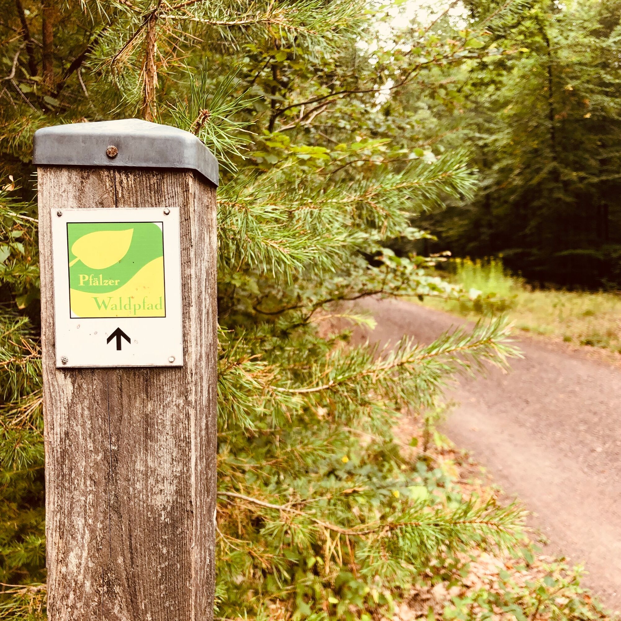
Spectacular rocks, deeply cut valleys, and above all: forest idyll as far as the eye can see! This is what awaits you on the 143 km long Palatinate Forest Trail, one of the three long-distance hiking trails of the Palatinate. It is divided into nine daily stages and crosses the Palatinate Forest Biosphere Reserve from Kaiserslautern to Schweigen-Rechtenbach on the German Wine Route. There it meets the Palatinate Wine Trail. Untouched nature, impressive silence, and breathtaking sandstone rocks – the Palatinate Forest Trail is a hiking trail to recharge your energy.
From Pirmasens, it is easy to start on the Palatinate Forest Trail. After a short and interesting route through the city, it leads directly into the forest. The highlight of the access path is the Karl-May Rock, where you can rest well. Then you soon reach Rodalben and thus meet the Palatinate Forest long-distance hiking trail.
UFFBASSE! – campaign for considerate coexistence in nature
Always behave considerately, friendly, and respectfully towards everyone you meet on the way. Respect nature, do not destroy plants, and always stay on the trails. Try to avoid excessive noise and leave the forest before dusk. Bring a trash bag for the way and take your waste back home. Please keep your dog on a leash at all times. Other visitors and animals will thank you. Observe all trail closures for your own safety, also on weekends. Only park in designated parking areas. Leave space for emergency vehicles and agricultural machinery. Give priority to agricultural and forestry traffic.

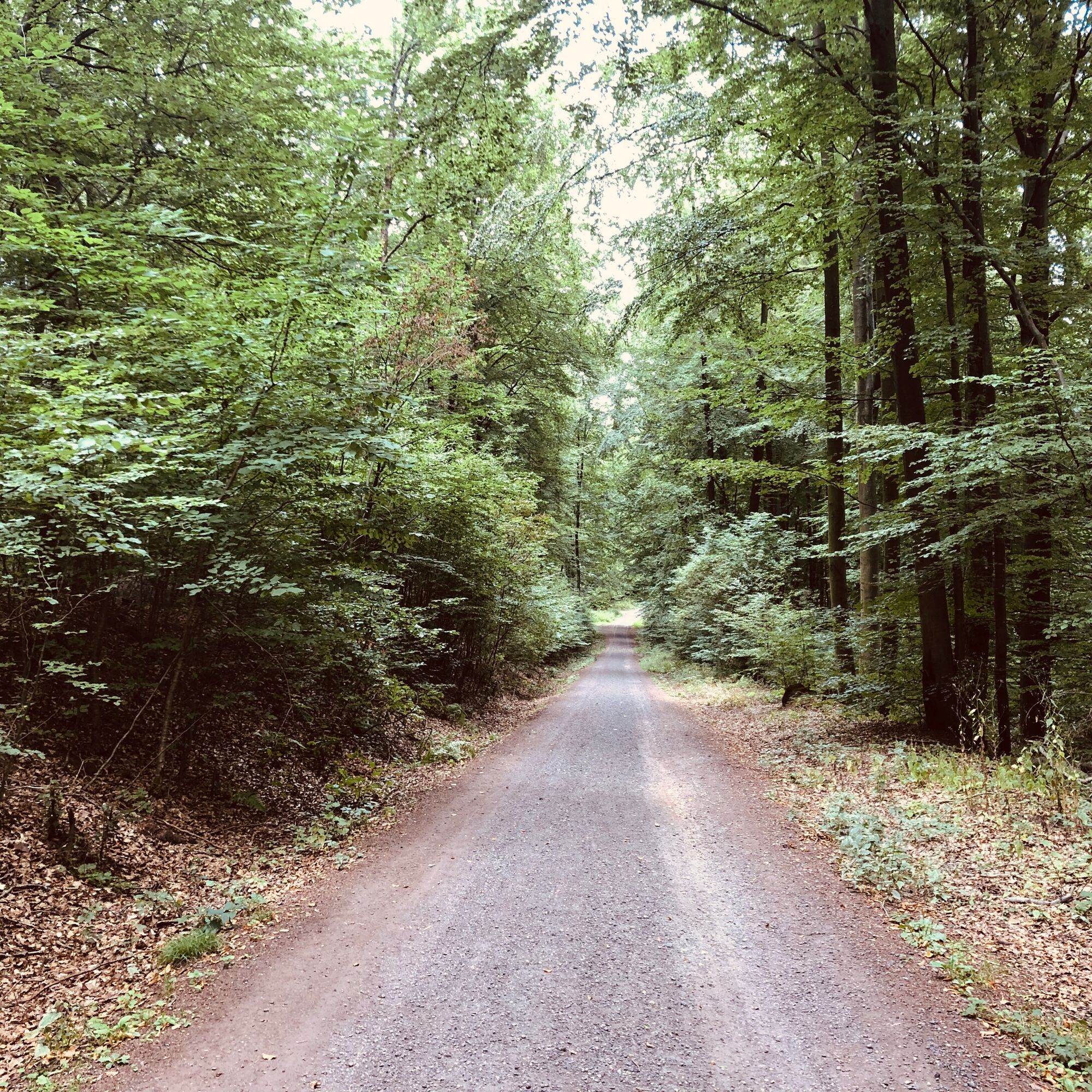


We leave the main station heading towards the city center. There, the drill square is our first destination. To get there, we go straight along Bahnhofstraße, turn left up the hill onto Blumenstraße, and then turn right onto Turnstraße. Going straight ahead, we reach the drill square. Now through Höfelsgasse towards the fairgrounds. Over Dr.-Robert-Schelp-Platz we reach Steinstraße. We leave that on the right and turn onto Steinstraße. We follow it until a narrow passage leads up on the left, and then continue straight to Rodalber Straße. We turn left onto Rodalber Straße, then go right up Nordring, then immediately right onto Hirschstraße, and then again right onto Husterhöhstraße. We follow Husterhöhstraße and cross the B10 via a pedestrian bridge. Then we go over Wasserturmstraße back to Rodalber Straße, which we follow to the left and then turn right onto Am Häusel. From here we go straight ahead until we meet the Pirmasens animal shelter and the forest edge. We turn left into the forest and now follow the forest path and signage straight ahead until we use the narrow path on the right to reach Karl-May Rock. After passing the rock, we continue straight ahead and once we meet the wide path again from the trail, we turn right. After a left curve and a right curve, we follow the signs until we arrive in Rodalben and meet the Palatinate Forest long-distance trail.
Da
For our hiking routes, we recommend the following equipment as standard:
Sturdy footwear
Clothing adapted to the weather
Sun and rain protection
Sufficient supply of food and drinks, as not everywhere there are opportunities to take a break or shop or they may be closed.
Even though the paths are very well marked throughout, it is advisable for safety reasons to always carry a suitable hiking map so that you can quickly find a safe area in the event of a thunderstorm or emergency.
Currently:
Corona Guide German Hiking Association
General information:
Especially in autumn, be aware that fallen leaves can cover unevenness, roots, stones, or holes on the path. After thunderstorms or heavy rain, trees can still topple or branches fall afterward. Especially under adverse weather conditions, natural paths can have muddy and slippery sections. Not all rocks or ravines are secured with ropes or railings. Surefootedness is required in places. You must expect such path impairments when hiking. If you consider certain path sections impassable, you should avoid them.
NOTE:
We strive to announce all closures due to forest work or hunting societies on this platform. Nevertheless, there are situations where hiking trails are closed and we may not have been informed. If you unexpectedly encounter a closure or detour, please follow the instructions for your own safety.
Drive on B10 towards Pirmasens
Follow B10 to B270 in Pirmasens, take the B10 exit towards Pirmasens / North
Take Turnstraße and K6 to the destination
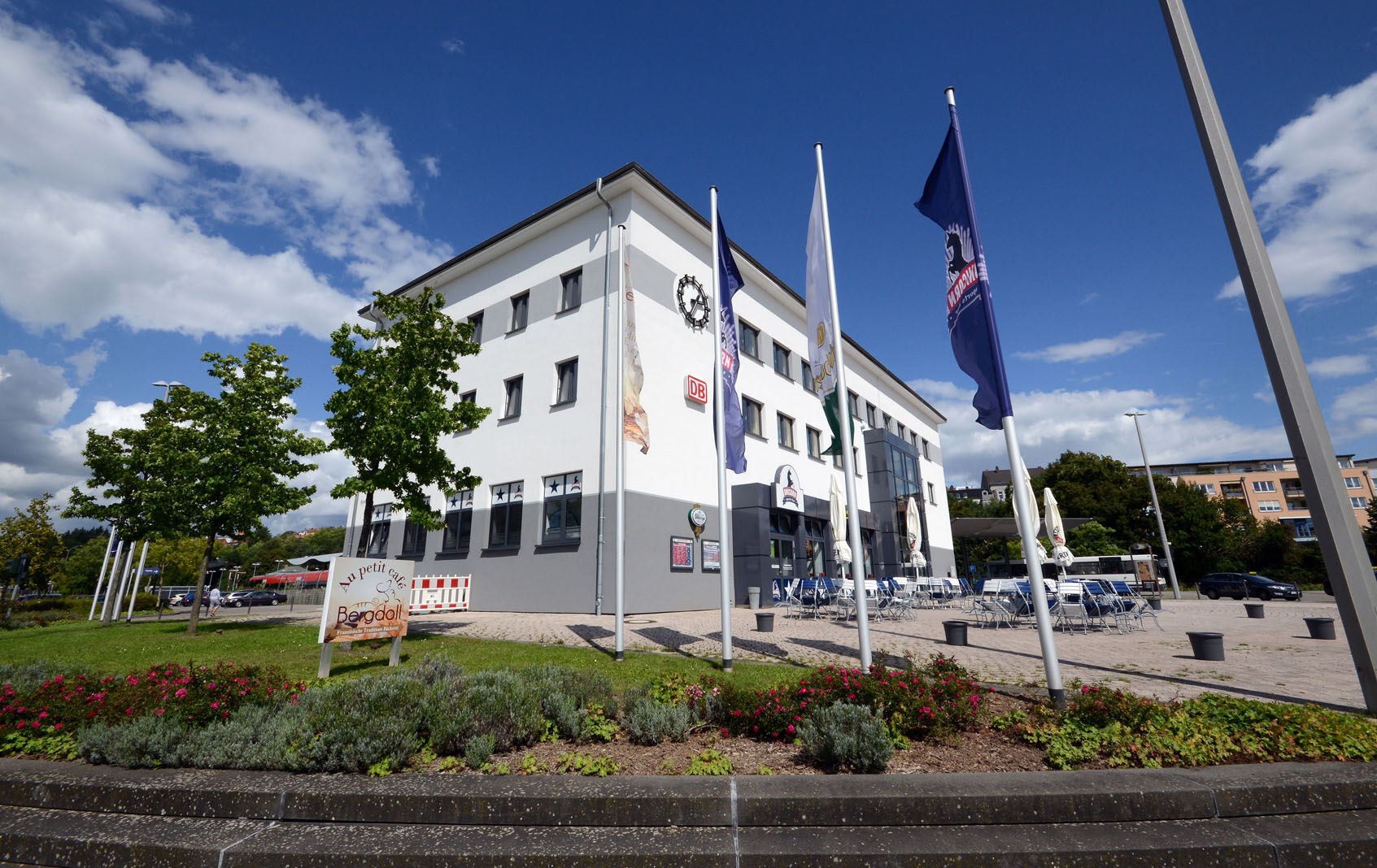
By train or bus to the main station Pirmasens.
There are free parking spaces at the main station Pirmasens.
The ideal hiking time is spring or autumn, although the trail can be walked without restrictions in all seasons.
The Karl-May Rock is absolutely worth seeing and untouched.
Priljubljeni izleti v okolici
- 4,7
Dahner Felsenpfad
srednjaPohodništvo13,2 km - 4,2
Dahn - Dahner Hütte - PWV - Im Schneiderfeld - Wachtfelsen
srednjaPohodništvo12,9 km - 4,3
Dahner Felsenpfad
srednjaPohodništvo13,9 km - 5,0
Dahner Felsenpfad
srednjaPohodništvo13,8 km - 5,0
Dahner Felsenpfad
srednjaPohodništvo13,8 km Kombiniert Altschlosspfad und Eulenfels-Tour
srednjaPohodništvo21,5 kmPfälzer Waldpfad full route
srednjaPohodništvo v daljavo144,1 kmMünchweiler Höhenwanderweg
težkoPohodništvo16,6 kmRodalber Felsenwanderweg
težkoPohodništvo44,3 km- 4,6
Eppenbrunn - Hohler Felsen - Kupper
srednjaPohodništvo10,2 km
Pohodništvo in sledenje


Ne zamudite ponudb in navdiha za naslednje počitnice
Vaš e-poštni naslov je bil dodan na poštni seznam.