







Pfälzer Höhenweg Stage 04 Rockenhausen - Obermoschel

From Rockenhausen, the ridge leads to the Roman "Villa Rustica" near Katzenbach. It is one of the most important Roman monuments in the West Palatinate. The Donnersberg massif on the right, the path continues...
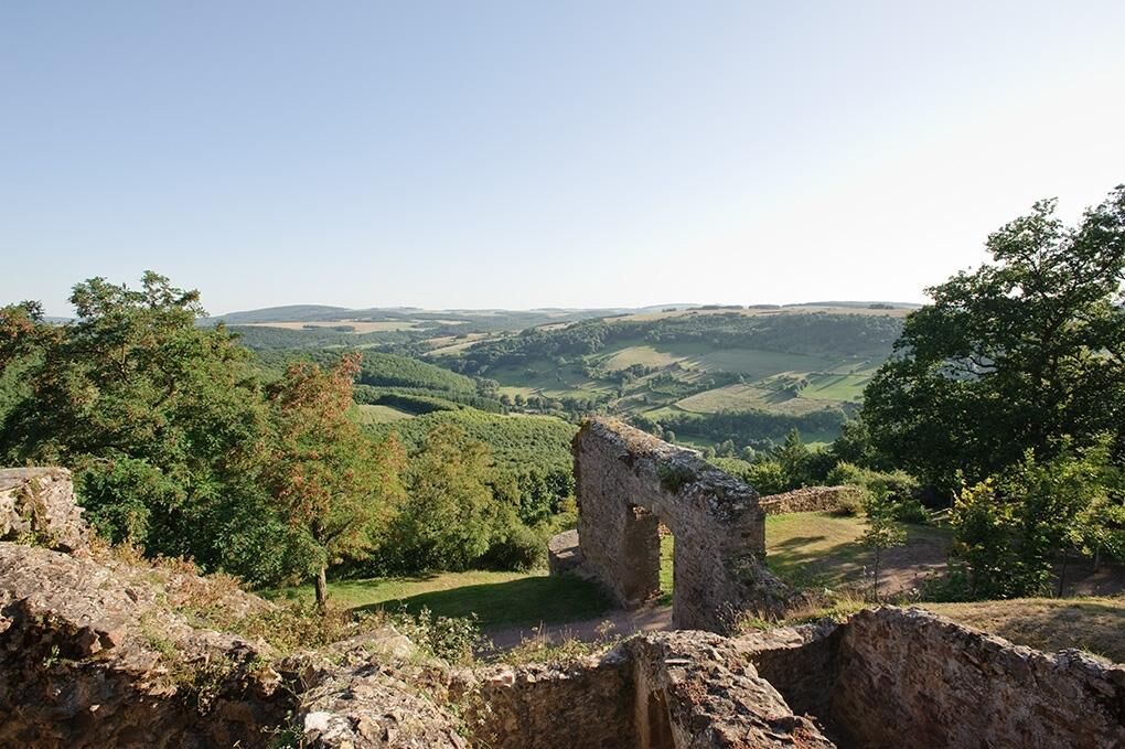
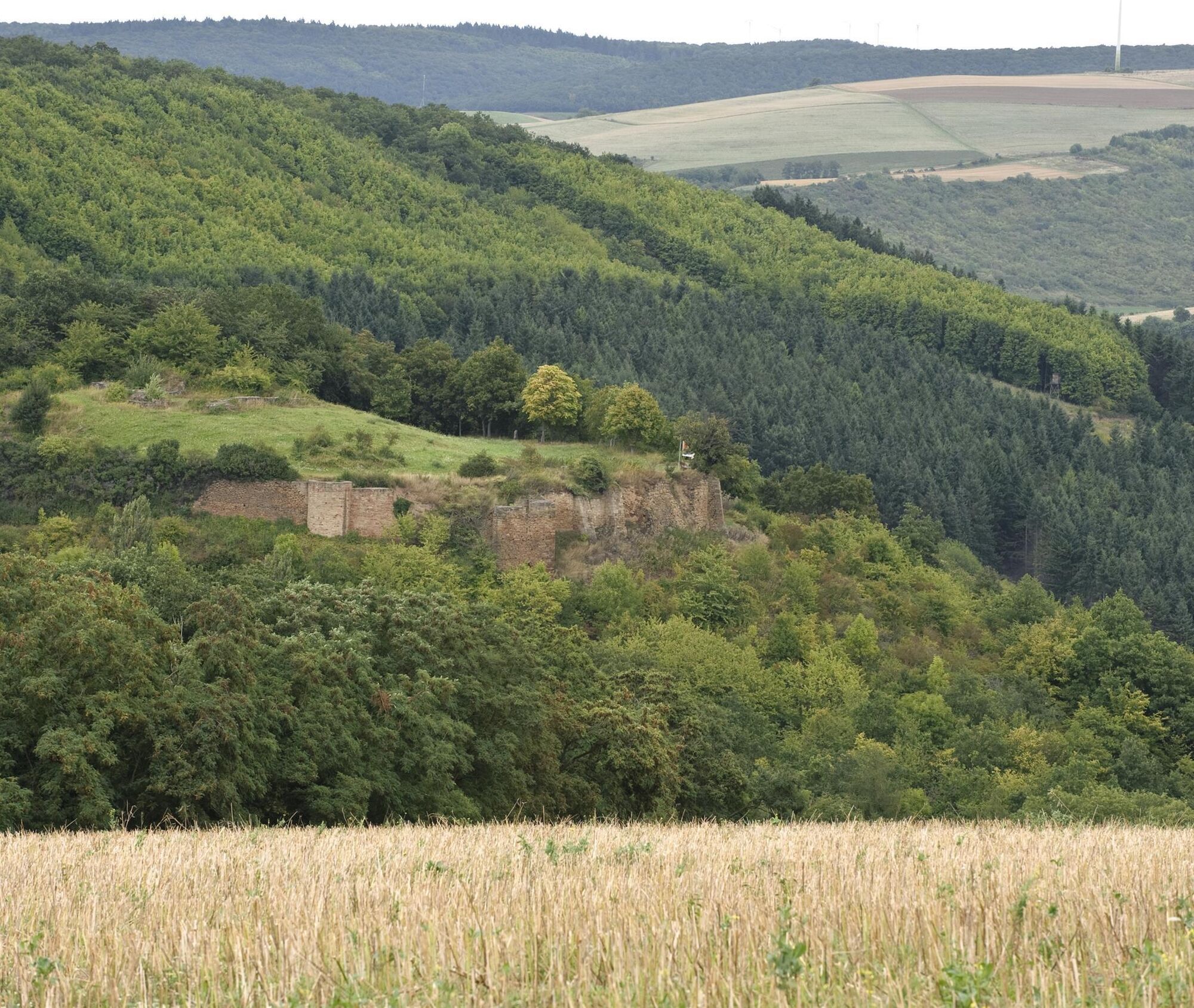
From Rockenhausen, the ridge leads to the Roman "Villa Rustica" near Katzenbach. It is one of the most important Roman monuments in the West Palatinate. The Donnersberg massif on the right, the path continues along the ridge of the Stahlberg, where information boards tell about silver mining. In the village of Stahlberg, a rest is possible. The route continues north, where a detour to the Randeck castle ruin near Mannweiler-Cölln invites you to enjoy views over the Alsenz valley and the Donnersberg. The vineyards along the Moschel and Alsenz rivers lead you to the Moschellandsburg ruins. First mentioned in documents around 1130 and destroyed by fire at the end of the 16th century, the romantically dreamlike structure with its climbable gate tower bears witness to its former defensiveness. A few steps downhill lead to the destination Obermoschel.
UFFBASSE! - Campaign for considerate coexistence in nature
Fire & Smoking - Making fire, smoking and barbecuing are strictly forbidden in the forest and must be refrained from! Fires and thus great damage to nature and wildlife can only be prevented in this way.
Be considerate - Always behave considerately, friendly, and thoughtfully towards everyone you meet on the way.
Nature conservation - Stay on marked paths and avoid unnecessary noise when you are in nature. Leave the forest no later than dusk to avoid disturbing the rhythm of nocturnal animals.
Picnic & Trash - Remember to bring a trash bag for on the way and take waste back home. Use only furnished rest areas for breaks & picnics.
Leash your dogs - Please always keep your dog on a leash. Other visitors and animals will thank you.
More info at: www.pfalz.de/uffbasse

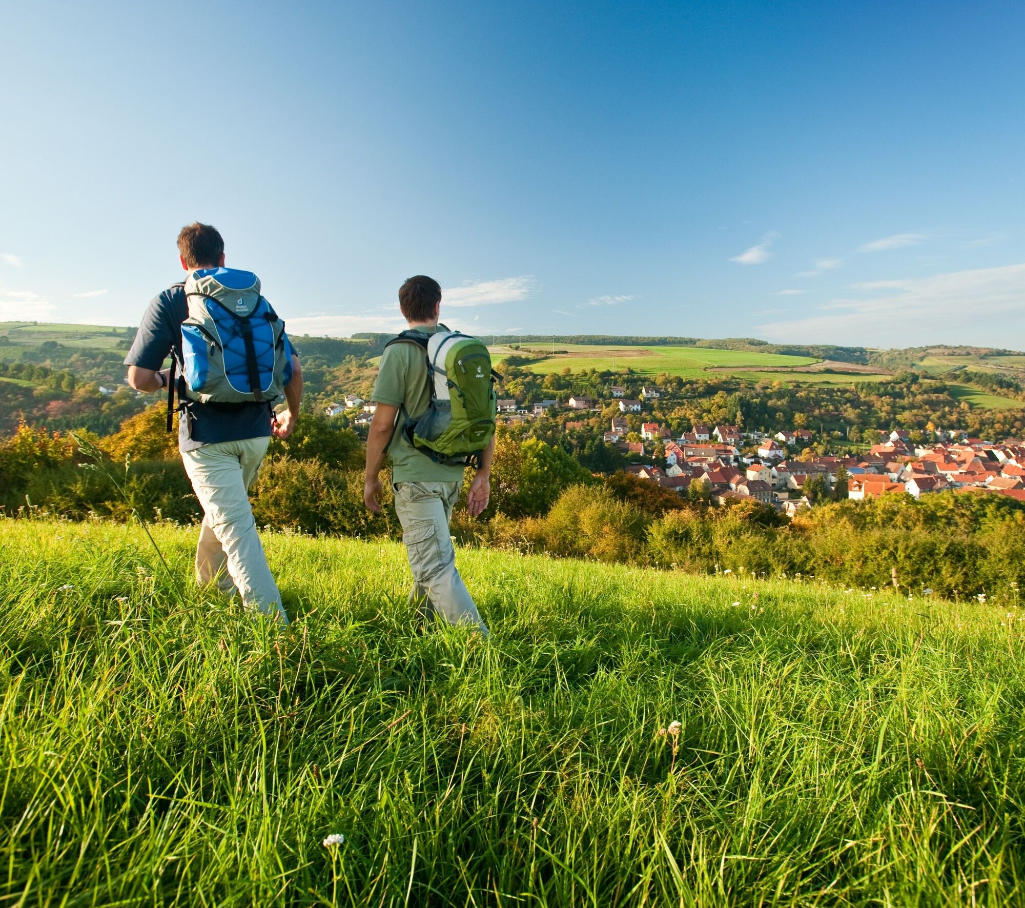
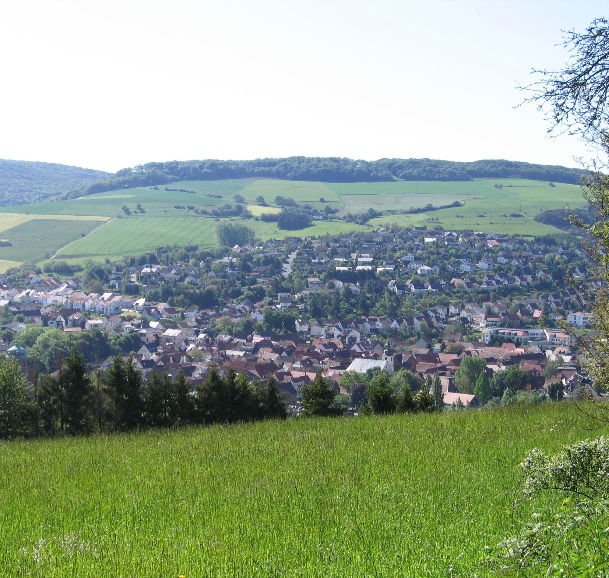
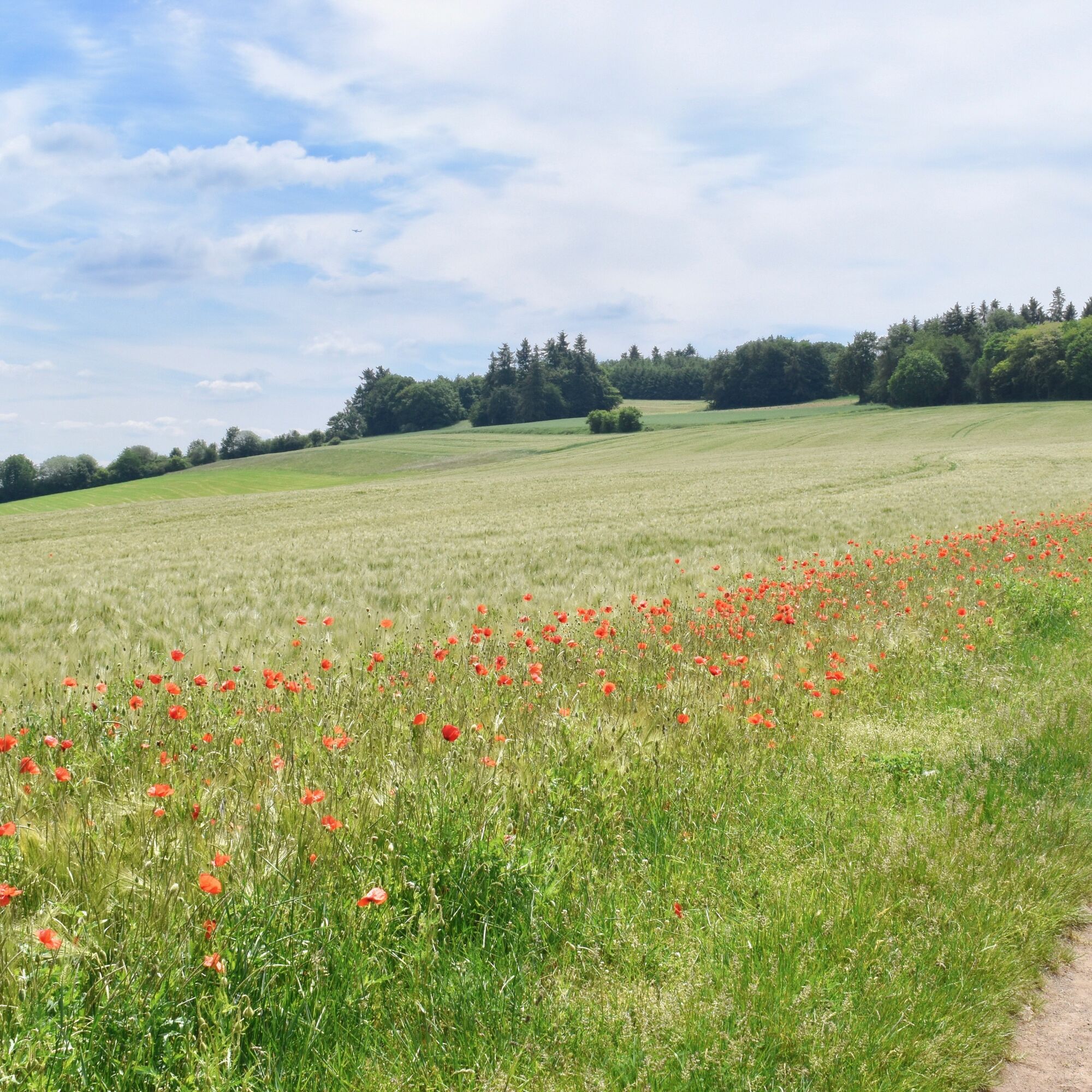
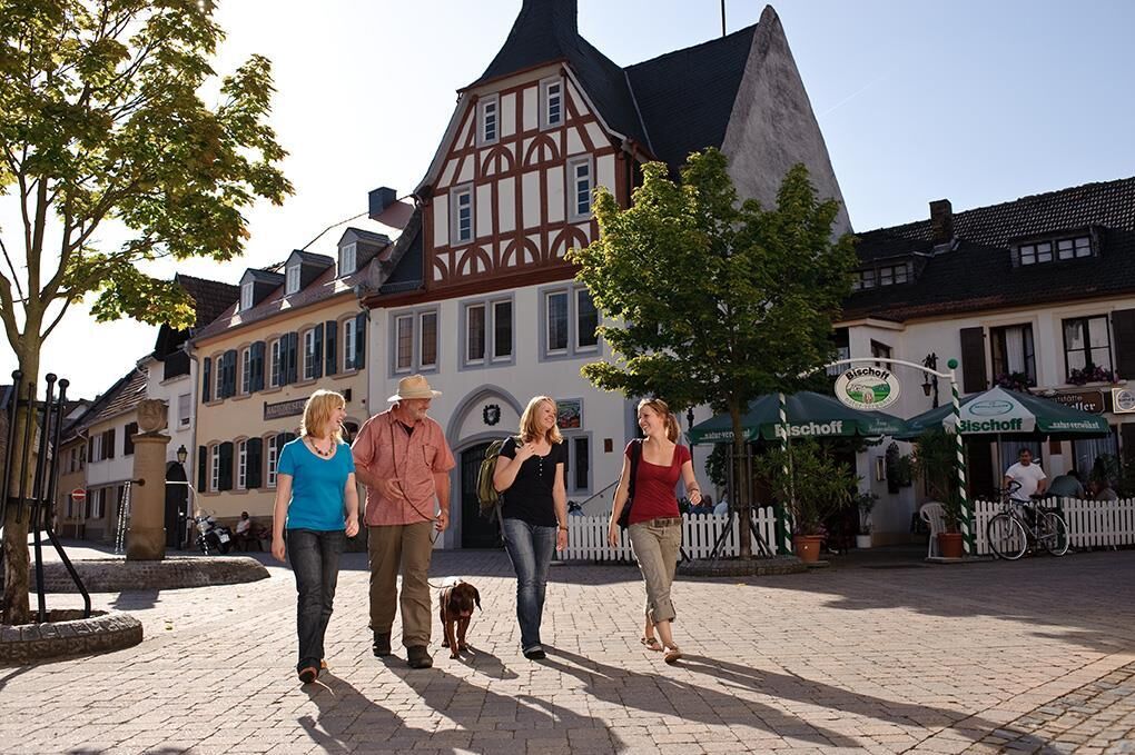
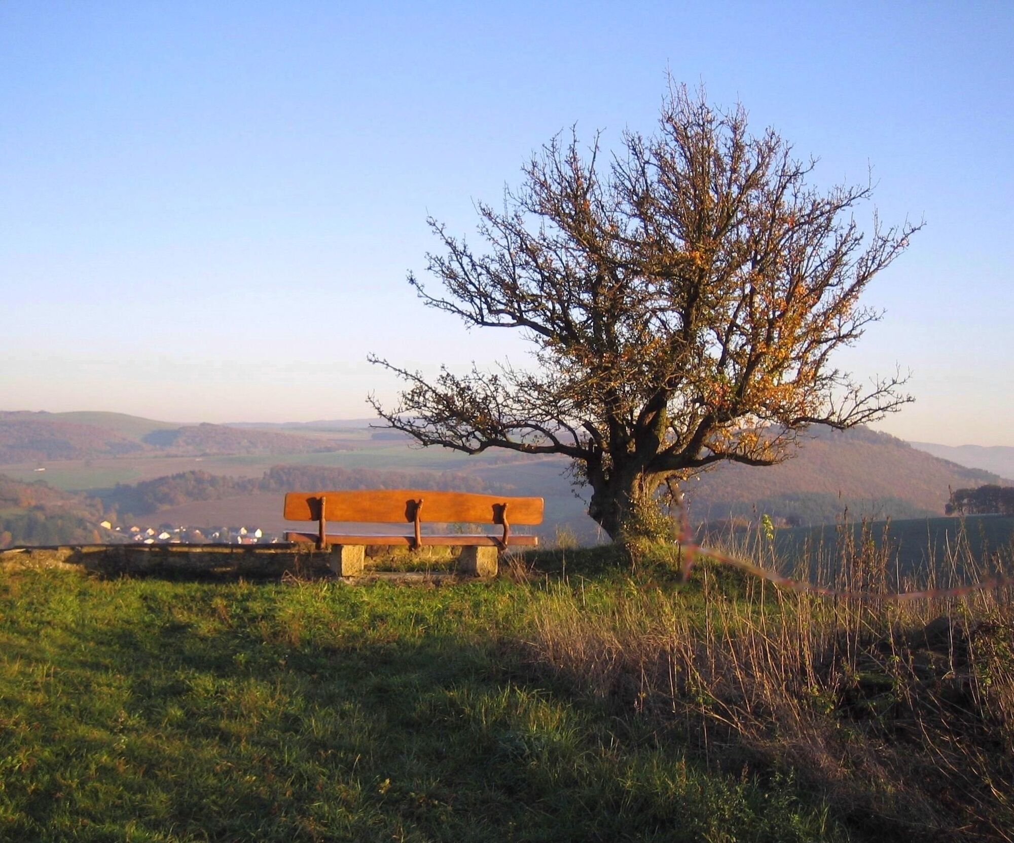

The fourth stage of the Pfälzer Höhenweg starts in Rockenhausen, where four noteworthy museums are worth a visit. Shortly after, we reach the remains of the Roman "Villa Rustica" (1) near Katzenbach, which is one of the largest excavated complexes in the West Palatinate. In a wide arc, we arrive at the 489 m high Stahlberg (2), where information boards recall past mining times. In the village of the same name, there is the possibility to break the route (overnight accommodations or bus connections are available).
After passing through the village, we follow comfortable forest paths and field tracks with gentle ups and downs towards Obermoschel. A worthwhile detour leads to the Randeck castle ruins (4), which tower on the slope above Mannweiler-Cölln and offer a magnificent view over the town, the Alsenz valley, and the Donnersberg. Along the scenic ridge between the Moschel and Alsenz vineyards, we then continue hiking to the romantic ruins of Moschellandsburg (5), which sits atop the Landsberg summit. The castle has been documented since 1130 and was largely destroyed by fire in 1689, so today only an impressive gate tower and massive wall remnants are visible. Slightly below, we can stop at the castle hotel and enjoy the beautiful view. From here, it is not far to our stage destination in the picturesque old town of Obermoschel.
Da
For our hikes, we recommend the following standard equipment:
Sturdy footwear Weather-appropriate clothing Sun and rain protection Adequate supply of food and drinks, as there are not always possible or open places to eat or shop. Even though the paths are consistently well marked, it is advisable for safety reasons to always carry an appropriate hiking map, so that in case of a thunderstorm or emergency you can quickly find a safe area.Hiking on natural paths and trails - Especially in autumn, be aware that fallen leaves can conceal unevenness, roots, stones, or holes in the path. After thunderstorms or heavy rains, trees can still fall or branches fall afterwards. Especially under adverse weather conditions, natural trails can have muddy and slippery sections. Not all rocks or cliffs are secured with ropes or railings. Surefootedness is required in some places. You must expect such path impairments when hiking. If you consider certain trail sections impassable for you, you should avoid them. Despite the "unmissable" marking of the premium hiking trails, we recommend always carrying a suitable hiking map for safety reasons, so that you can quickly find a safe area in case of thunderstorms or emergencies. Trail closures and detours must be observed.
Emergency situations - In the event of an emergency, quick help is needed. Even though mobile phones can send GPS signals, classic rescue points often are the fastest. These are located at places accessible to rescue vehicles. Remember the points with green signs and a white cross. In case of emergency, return there and give the number on the sign during your emergency call. This way, rescuers know where to find you.
A6 to the Enkenbach-Alsenborn exit, continue via B48 to Rockenhausen
By train to Rockenhausen
Travel information: via the DB travel info and in the DB Navigator app
In Brühlgasse or at the train station in Rockenhausen
Please park only in designated parking areas and always keep access routes for emergency vehicles as well as work paths in the forest and vineyards clear. For overnight stays in campers & caravans, there are explicitly designated motorhome parking spaces
Da
Visiting the museums in Rockenhausen:
- Museum for Time
- Kahnweiler House
- Pachen Museum – German Art of the 20th Century
- Northern Palatinate Local History Museum
Museum opening hours can be found here.
Priljubljeni izleti v okolici
- 4,0
Waldgasthaus "Lemberghütte" - Aussichtspunkt Mercurtempel - "Schönster Naheblick" - Schlafender Riese
srednjaPohodništvo 12,9 km - 3,0
Tiefenthal - Dunzelloch
srednjaPohodništvo 12,3 km Donnersberg Rundweg + Aussichtpunkt
svetlobaPohodništvo 4,31 kmPalatinate Ridgeway Stage 02 Dannenfels - Bastenhaus
srednjaPohodništvo v daljavo 15,2 kmRund um den Schillerhain
svetlobaPohodništvo 5,68 kmPfälzer Höhenweg complete route
težkoPohodništvo v daljavo 115,8 kmPfälzer Höhenweg Stage 01 Winnweiler-Dannenfels
srednjaPohodništvo v daljavo 16,6 kmPfälzer Höhenweg stage 03 Bastenhaus - Rockenhausen
svetlobaPohodništvo v daljavo 15,6 kmBad Münster am Stein-Ebernburg
srednjaPohodništvo 8,91 kmDisibodenberg Bad Sobernheim
svetlobaPohodništvo 9,74 km

Pohodništvo in sledenje


Ne zamudite ponudb in navdiha za naslednje počitnice
Vaš e-poštni naslov je bil dodan na poštni seznam.





