







Palatinate Forest Trail stage 07 Dahn - Erlenbach

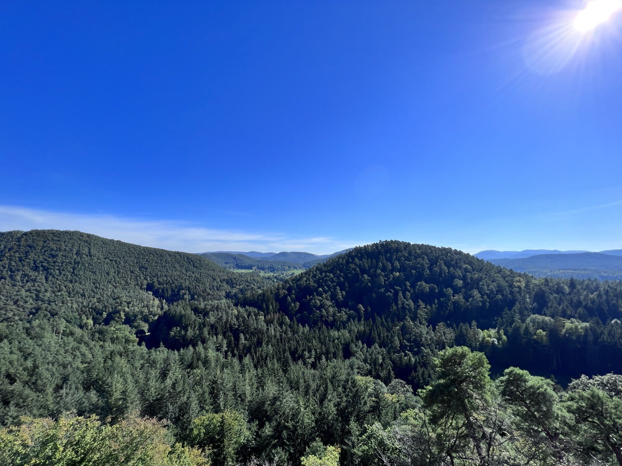
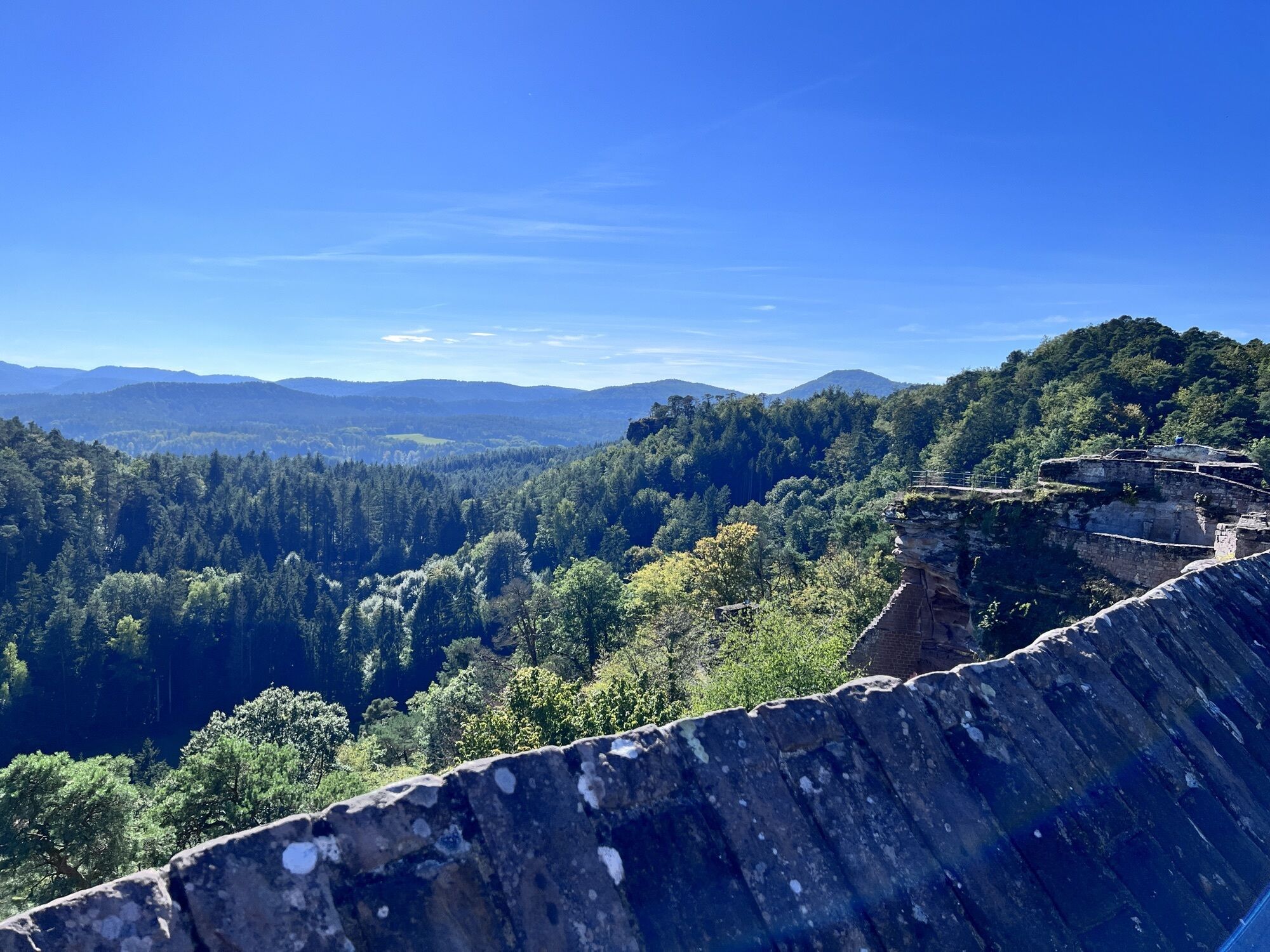
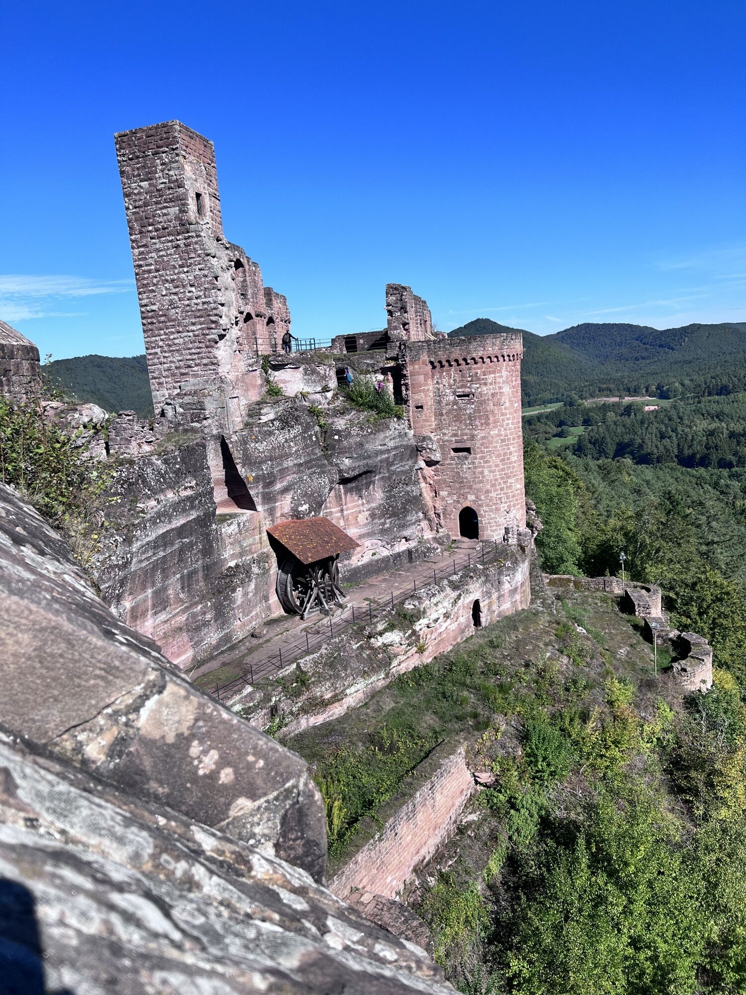
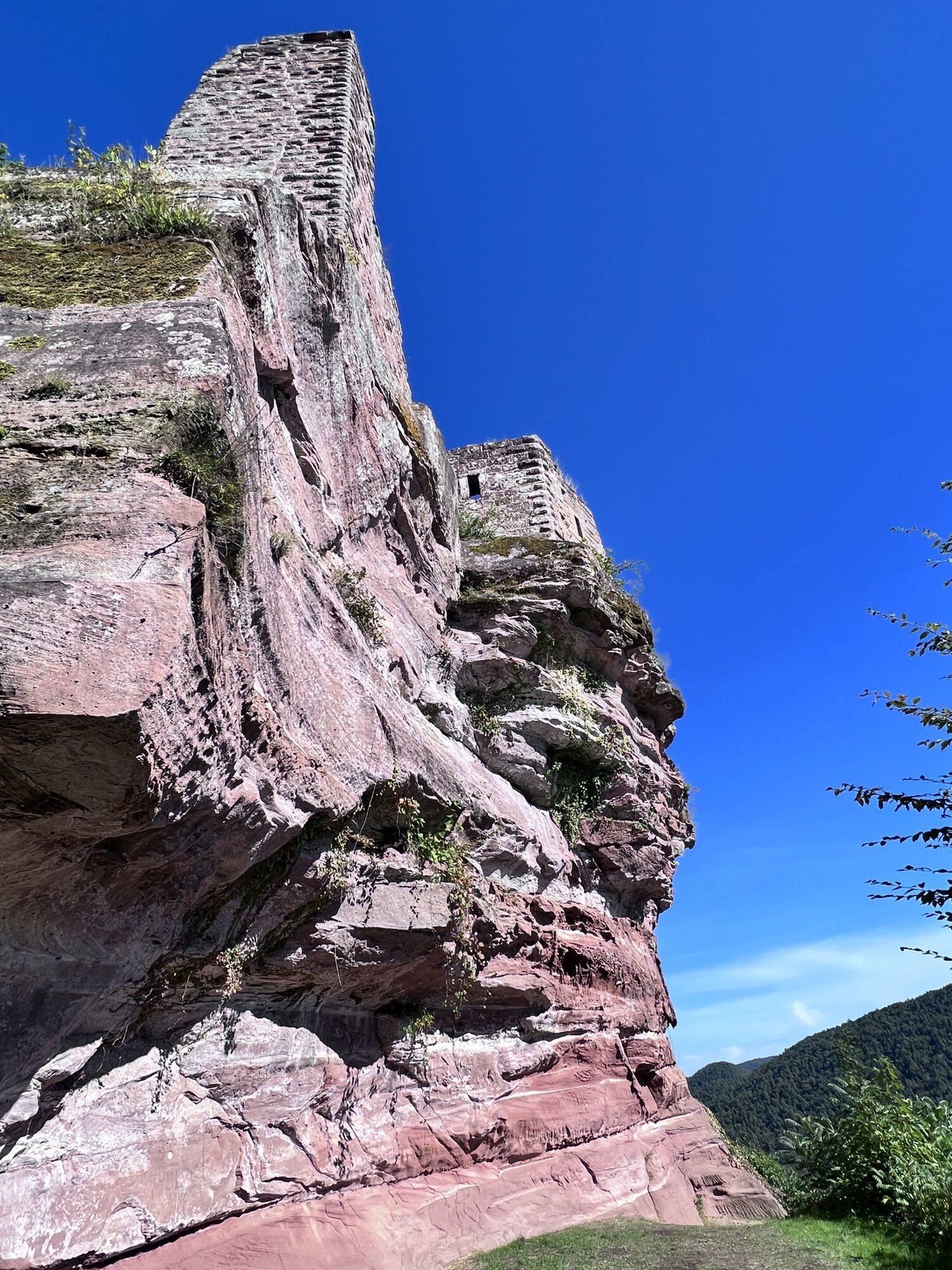
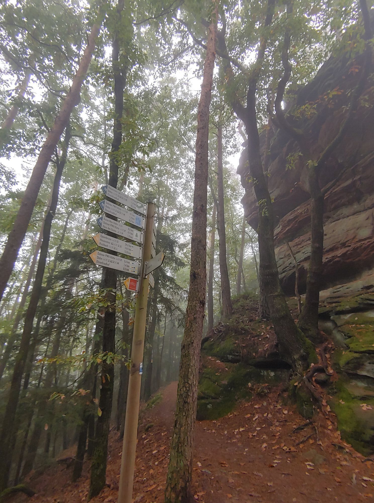
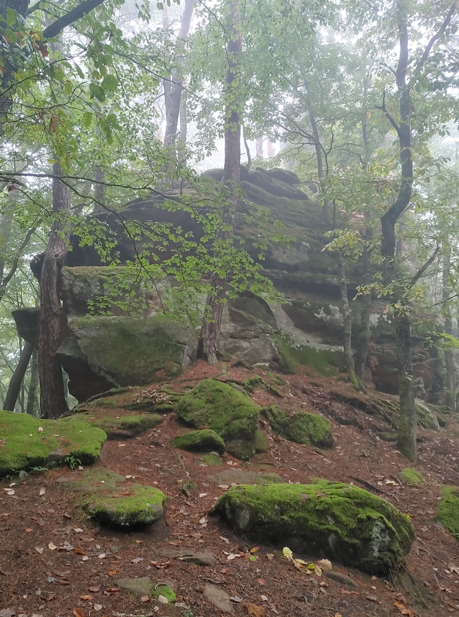
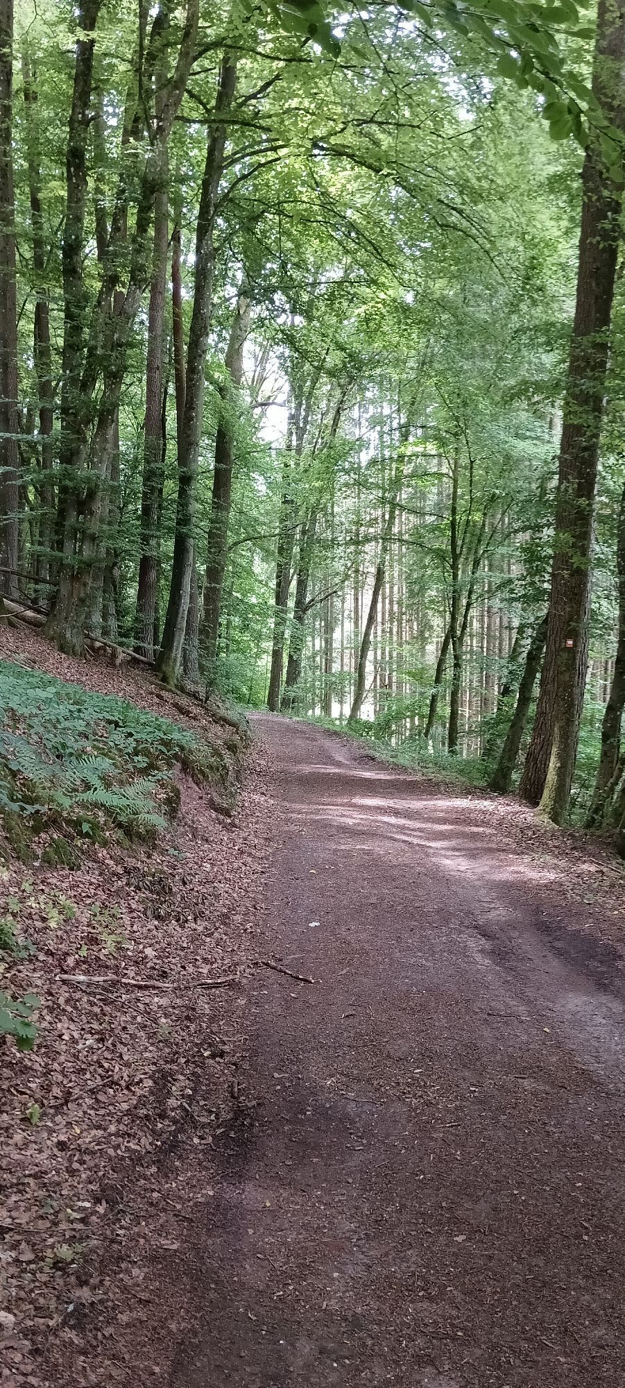
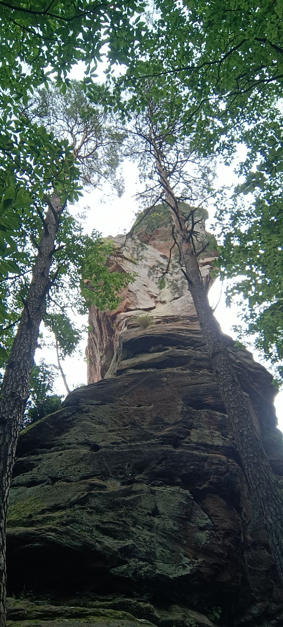
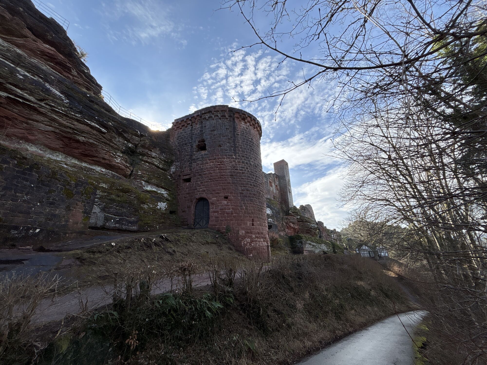
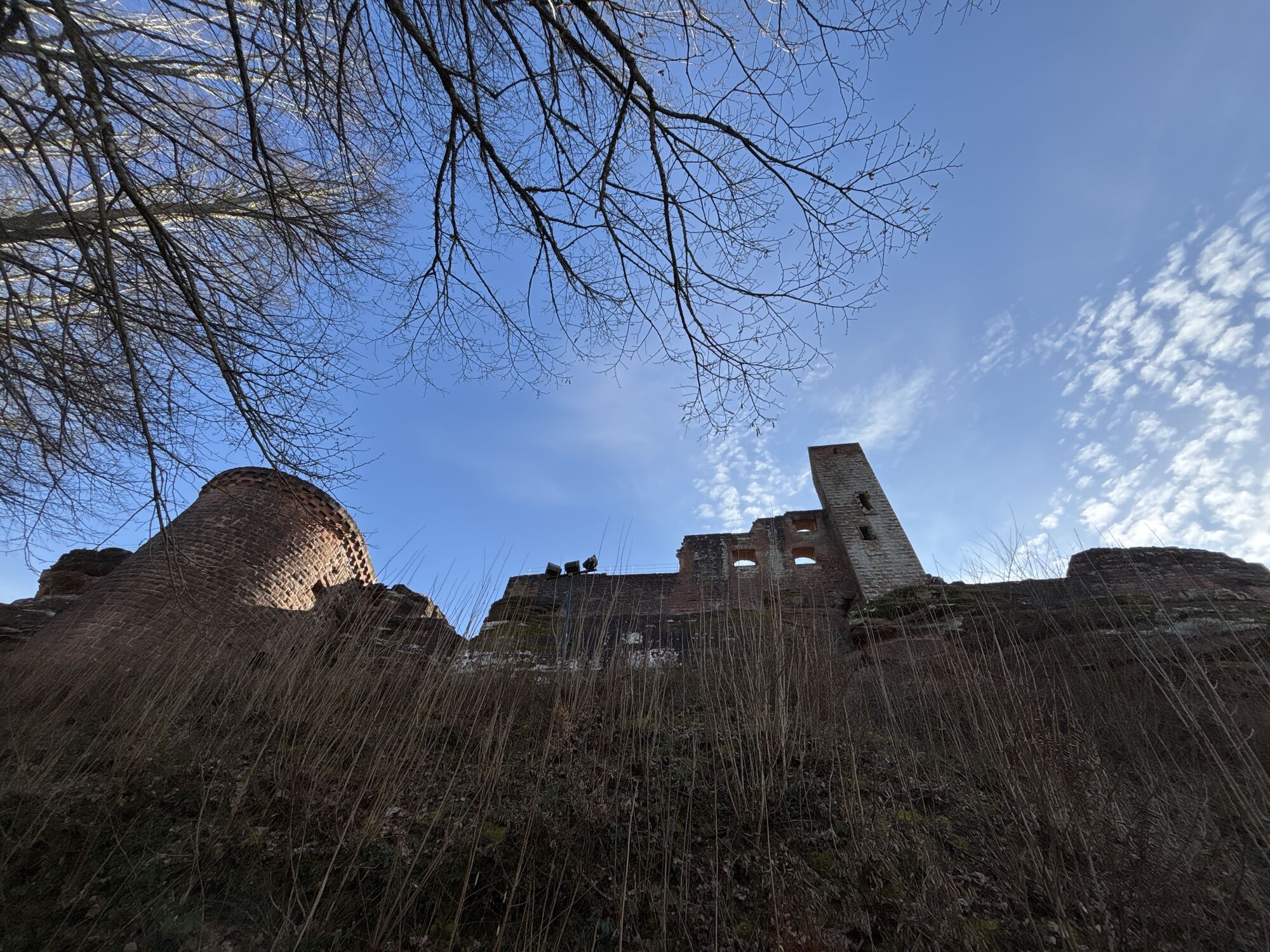
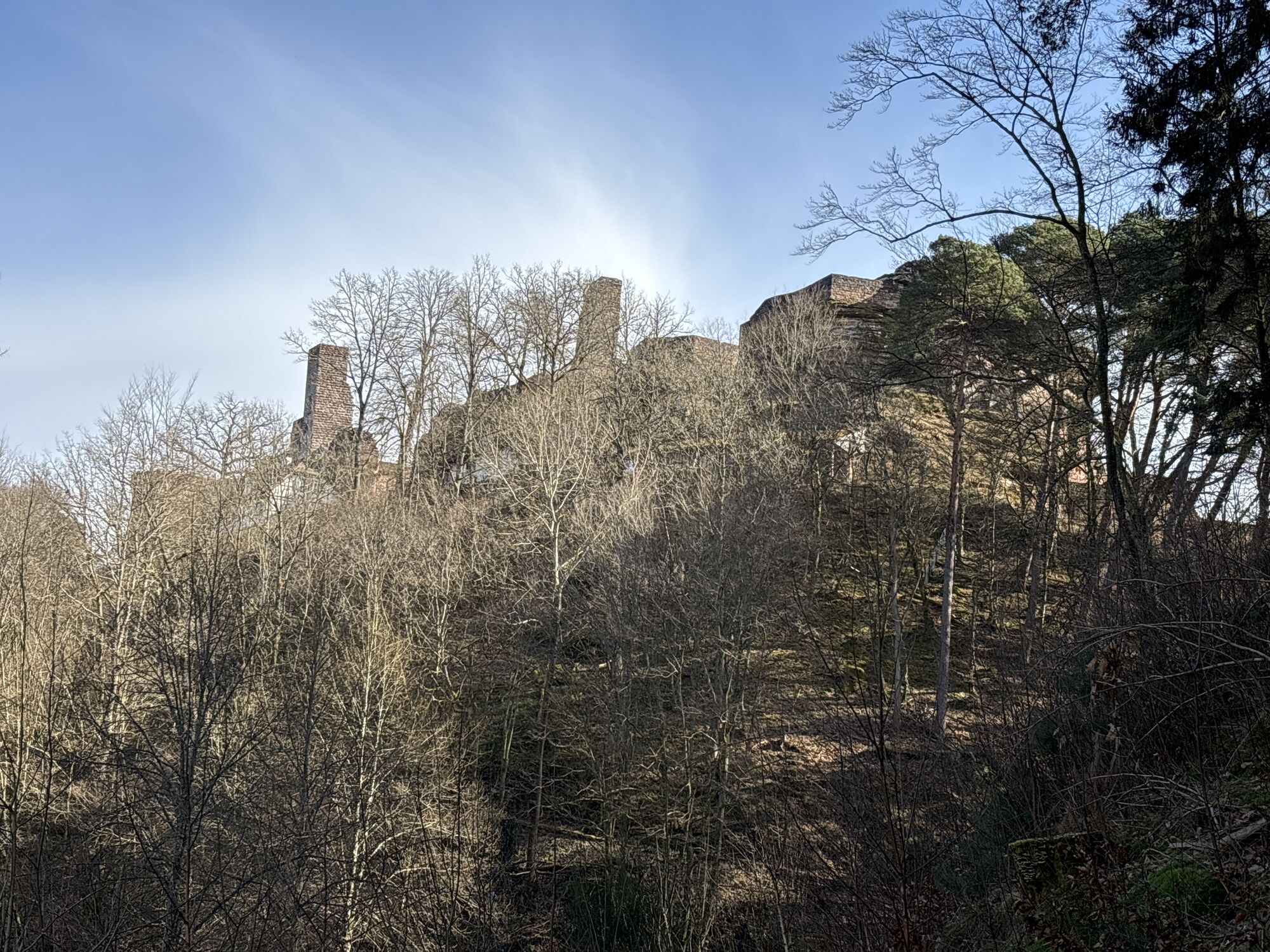


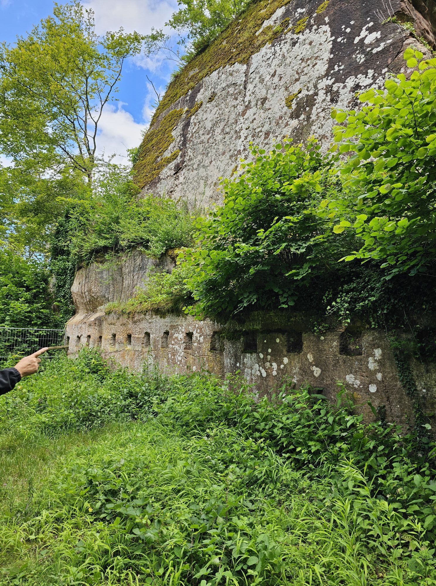
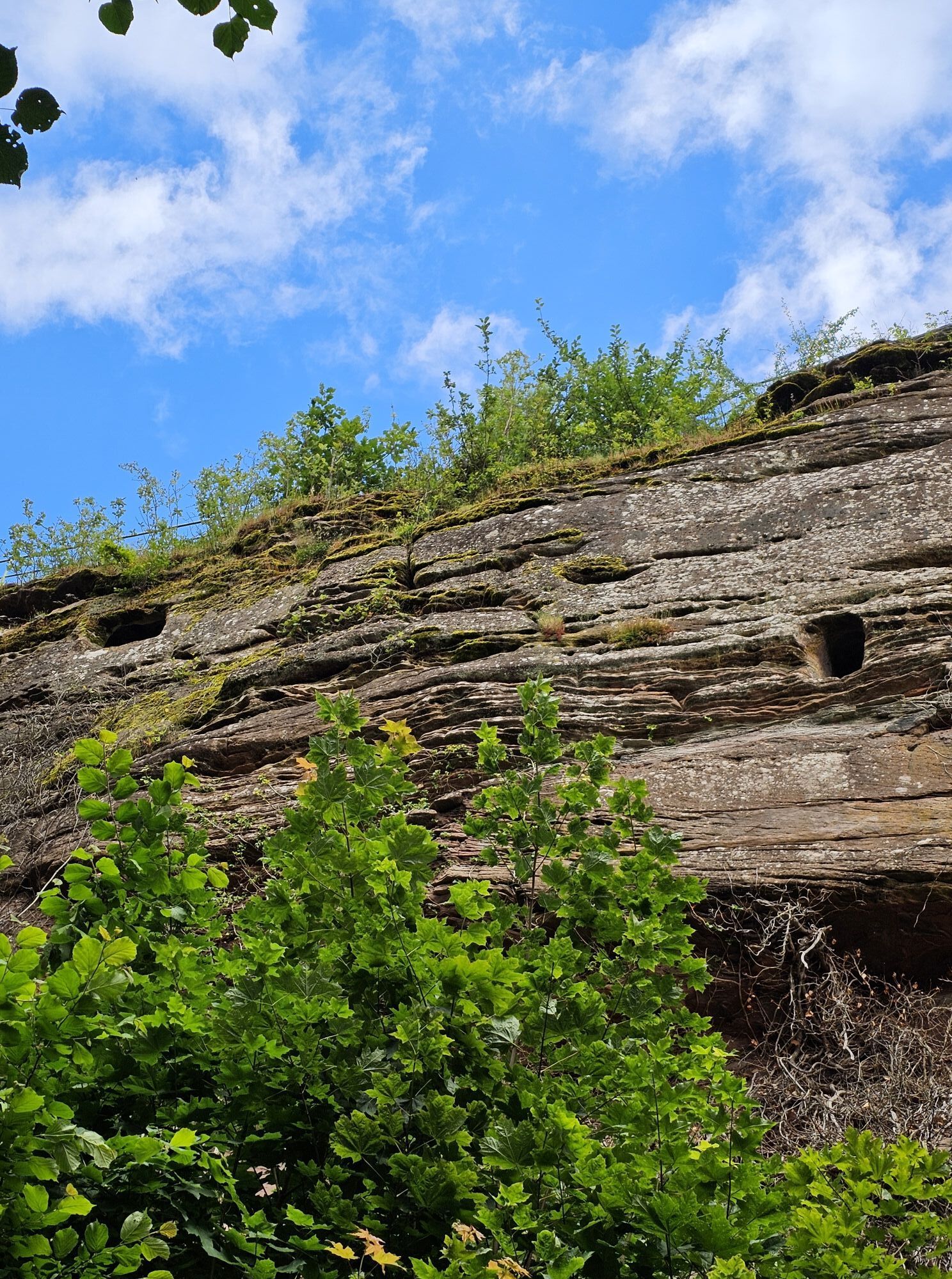
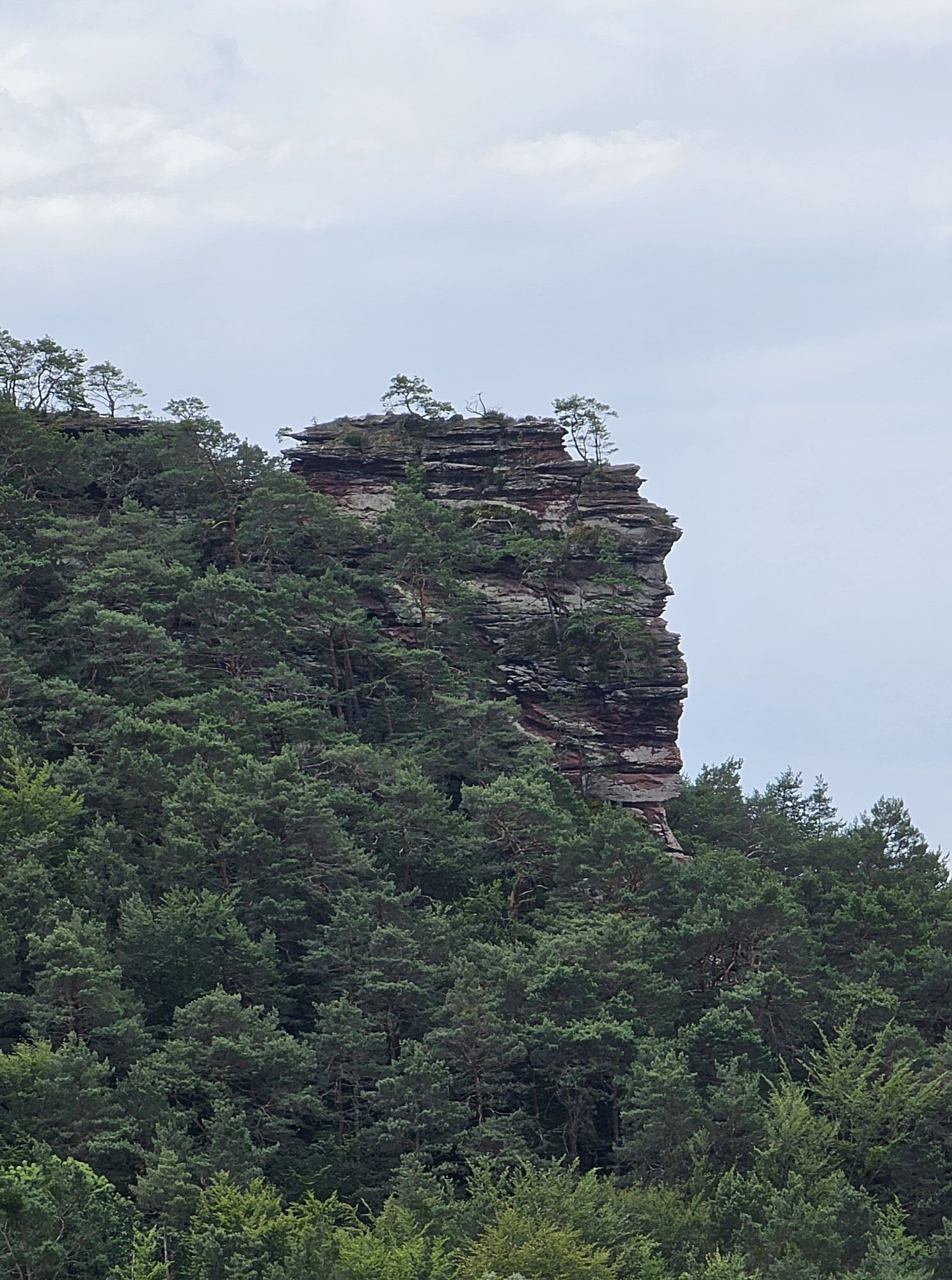
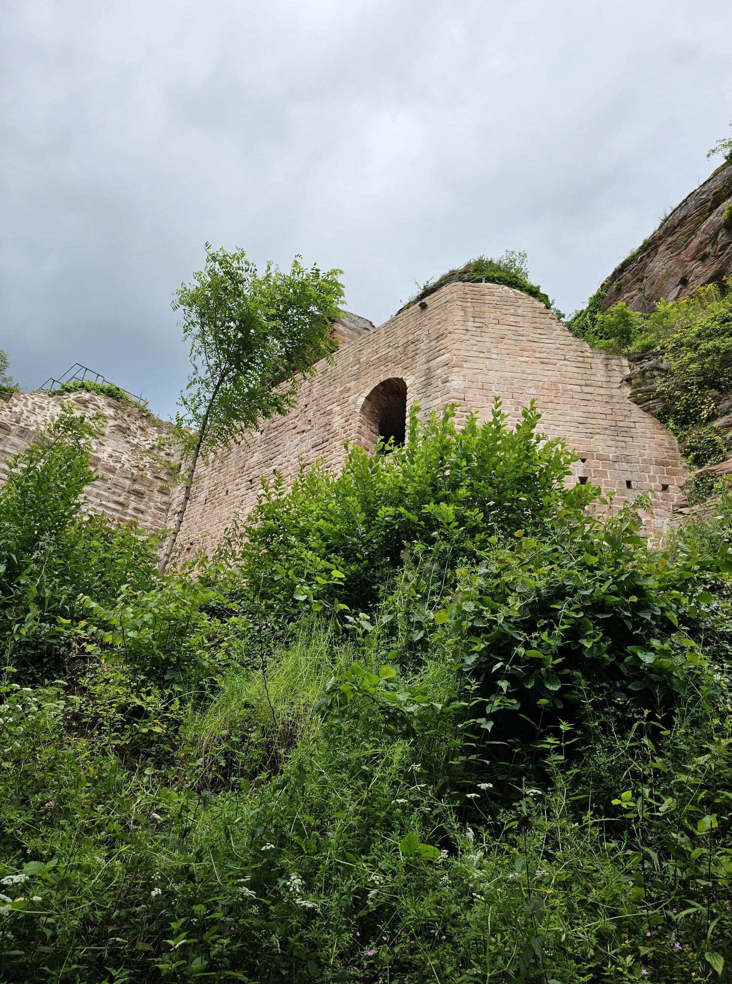
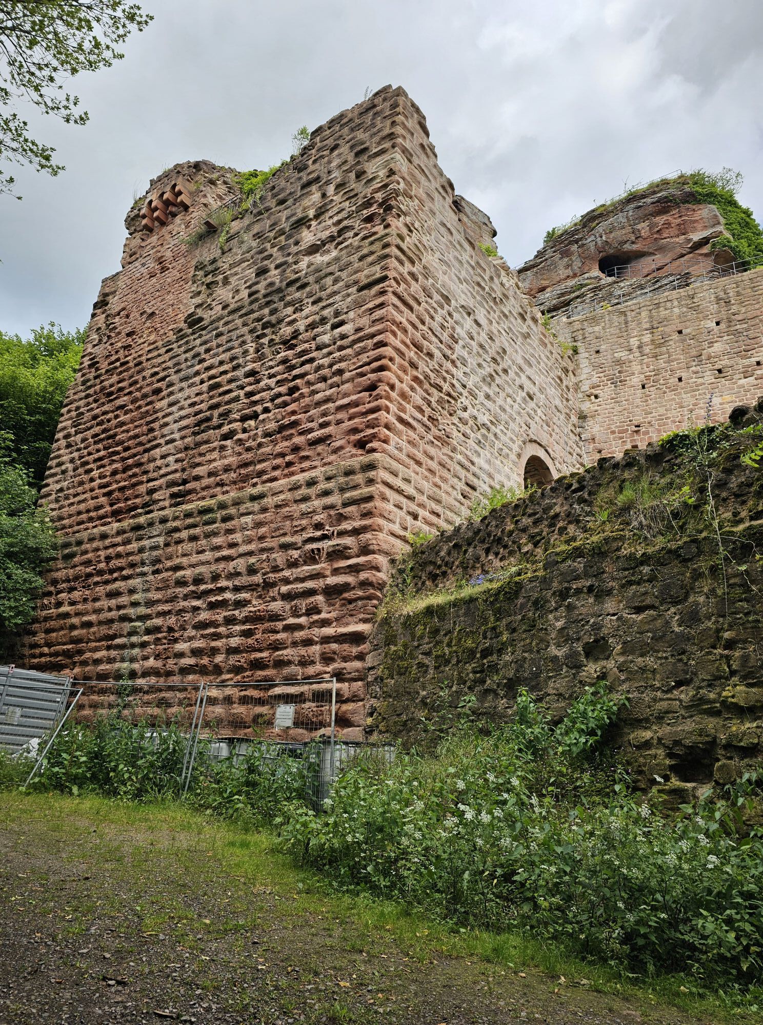
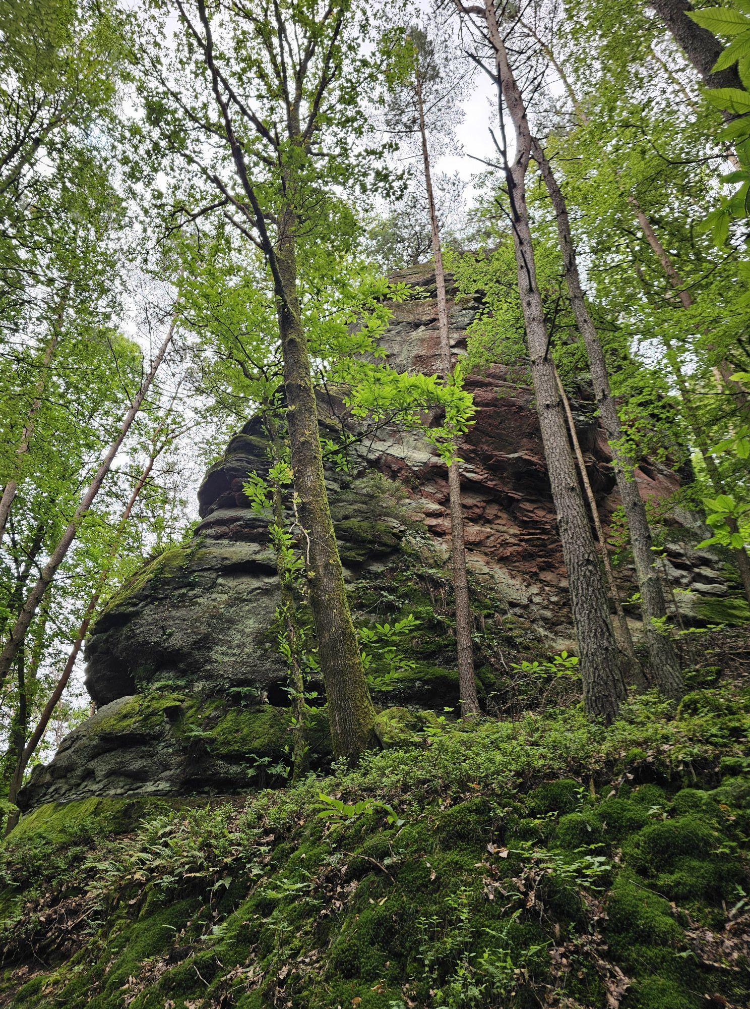
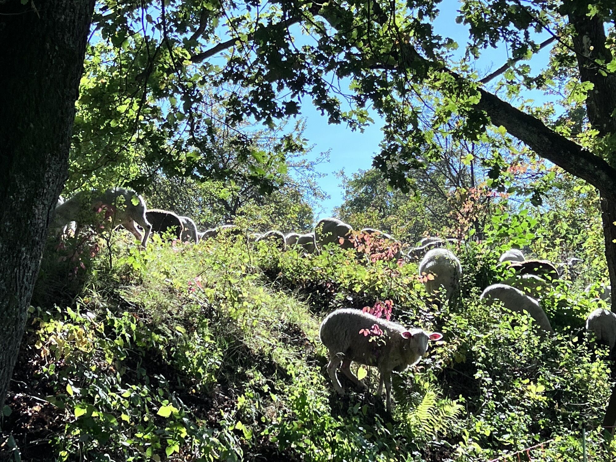
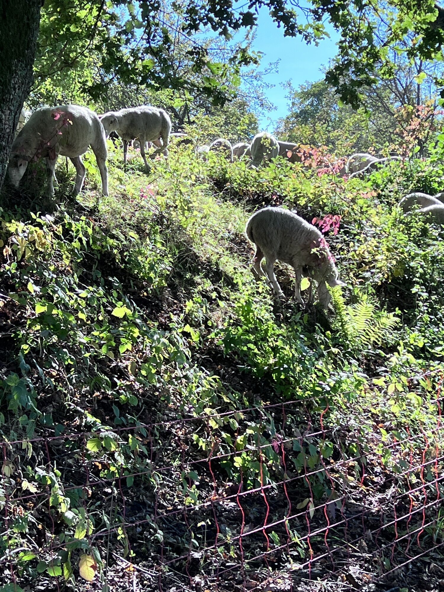
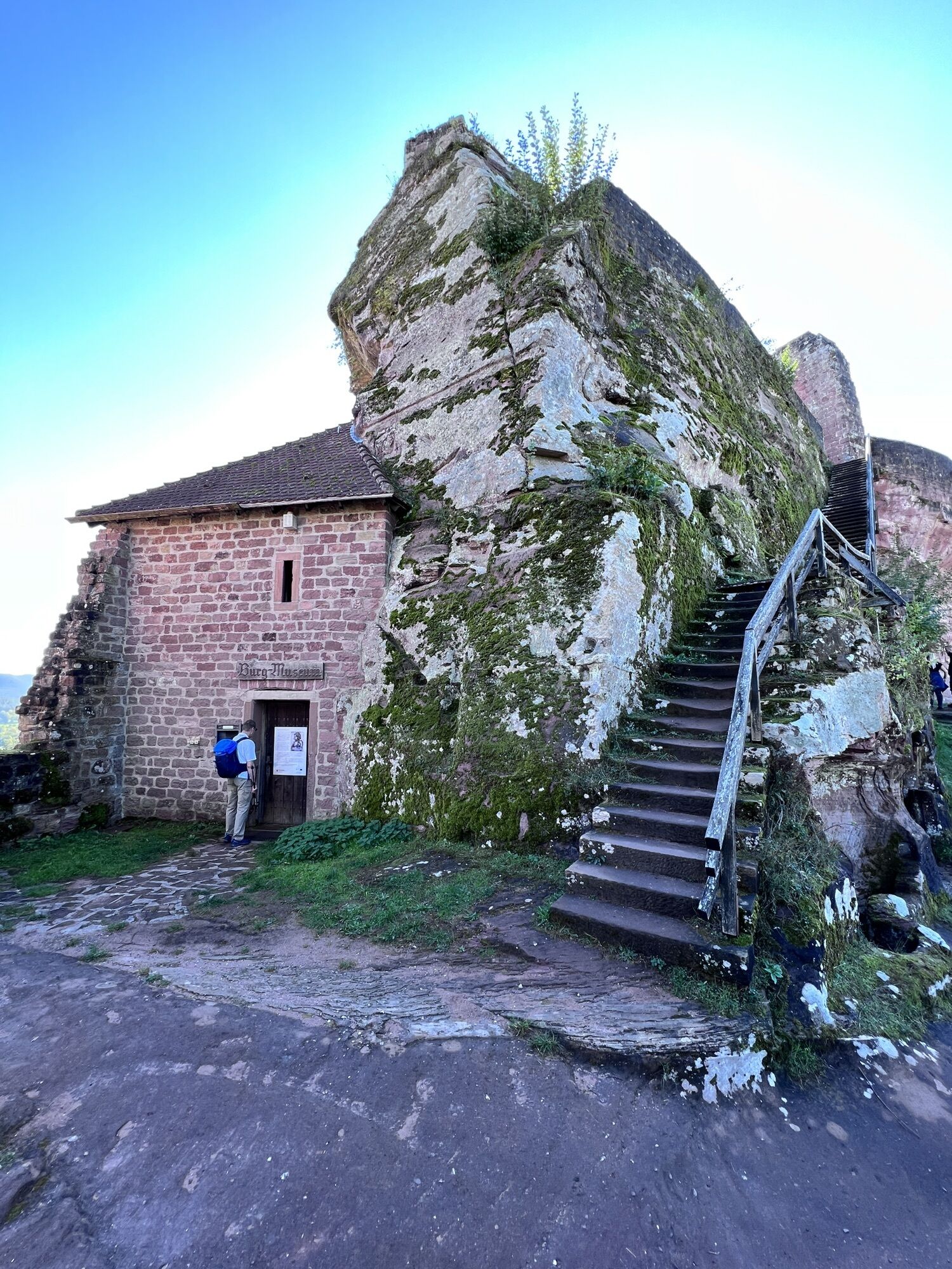
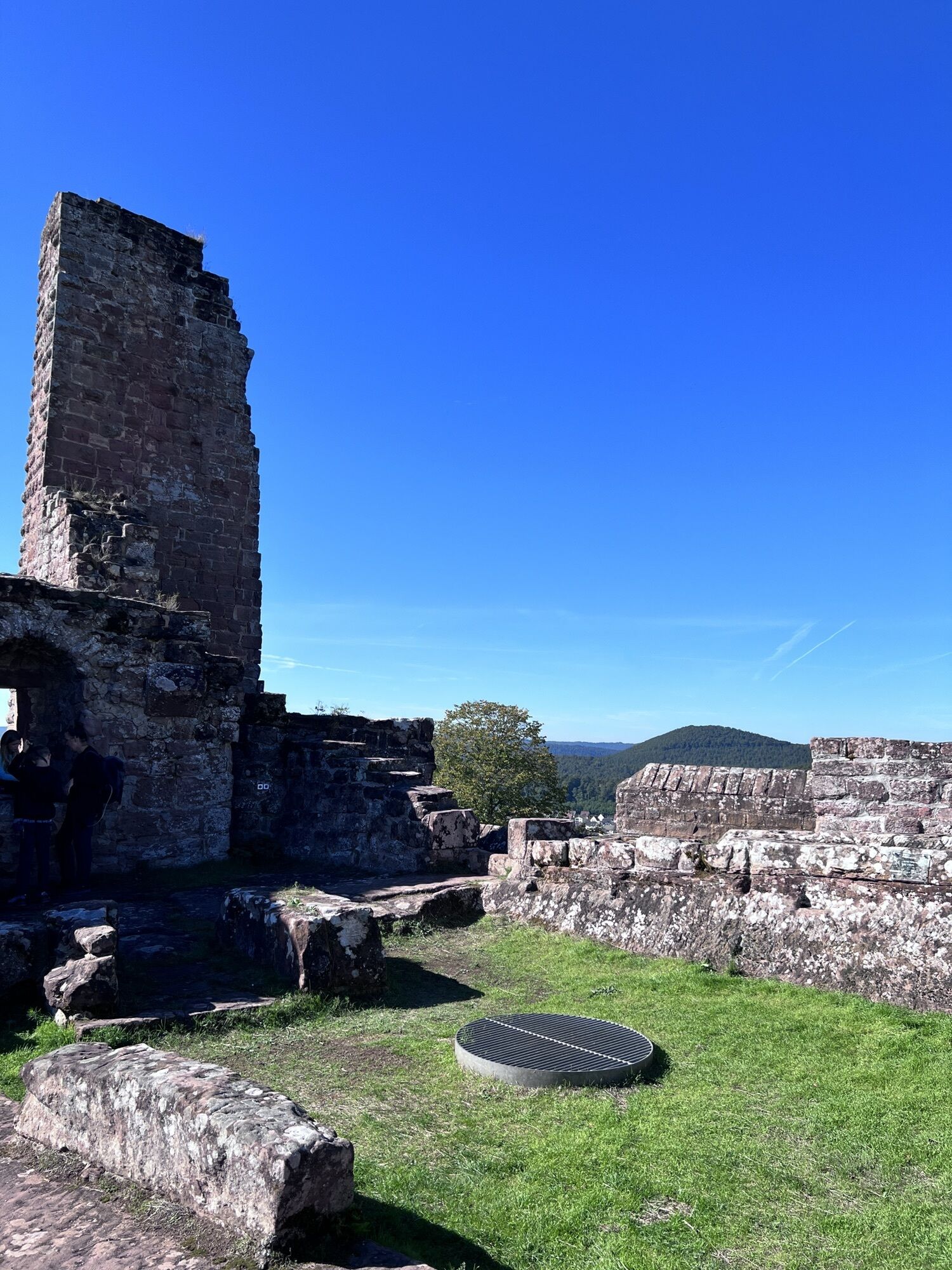
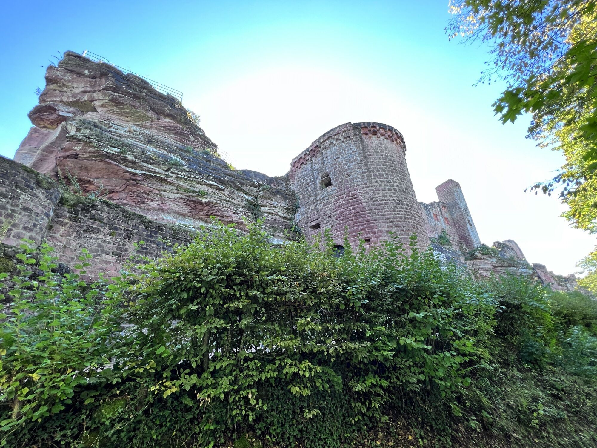
The seventh stage introduces itself with a series of defiant personalities. On the tour from Dahn to Erlenbach, you set your sights on spectacular cliffs and castle ruins built on red rock massifs. From...
UFFBASSE! - Campaign for considerate coexistence in nature
Fire & smoking - Lighting fires, smoking and barbecues are strictly prohibited in the forest and must be avoided at all costs! This is the only way to prevent fires and the resulting damage to nature and wildlife.
Be considerate when out and about - Always behave in a forward-looking, friendly and considerate manner towards everyone you meet along the way.
Nature conservation - Stay on the designated paths and avoid unnecessary noise when you are out in nature. Leave the forest at dusk at the latest so as not to disturb the rhythm of nocturnal animals.
Picnic & garbage - Remember to take a garbage bag with you and take your garbage home with you. Only use the furnished rest areas for breaks and picnics.
Dogs on a lead - Please keep your dog on a lead at all times. Other visitors and animals will thank you for it
Further information at: www.pfalz.de/uffbasse

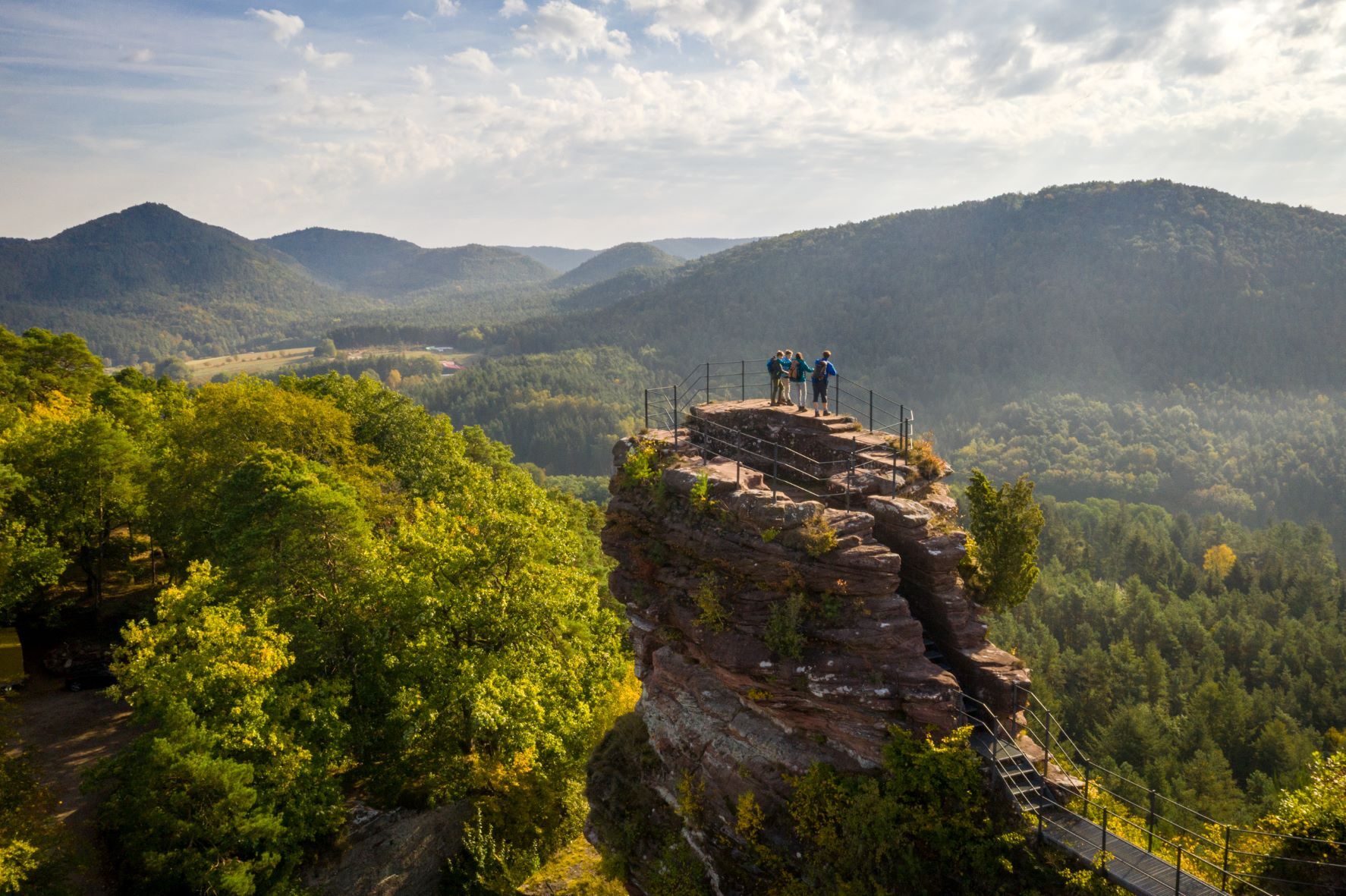
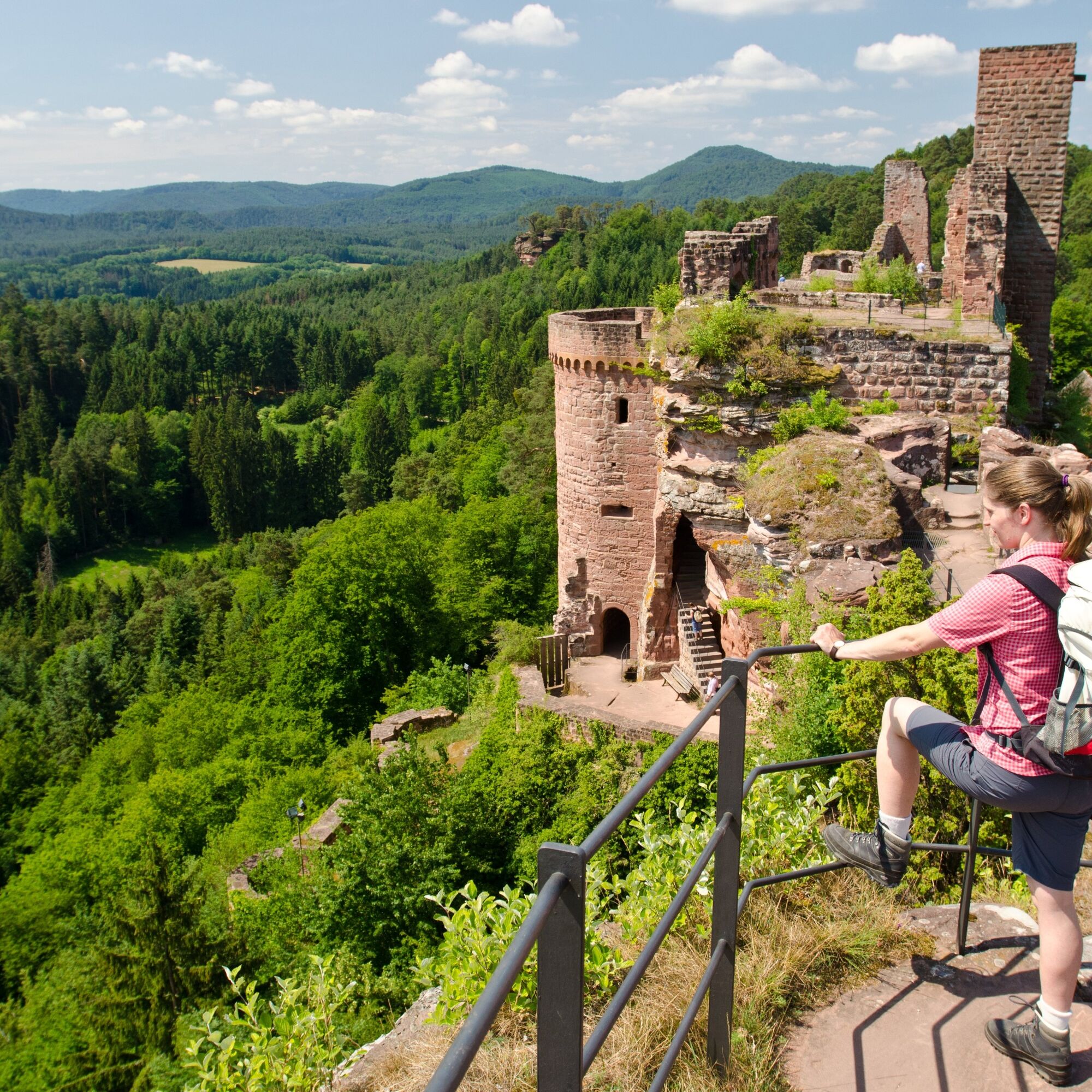
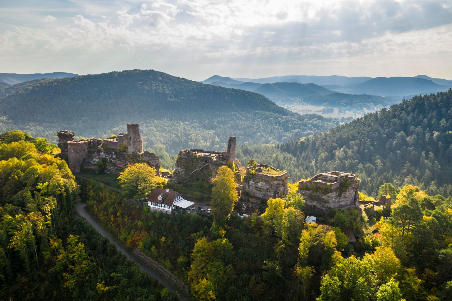
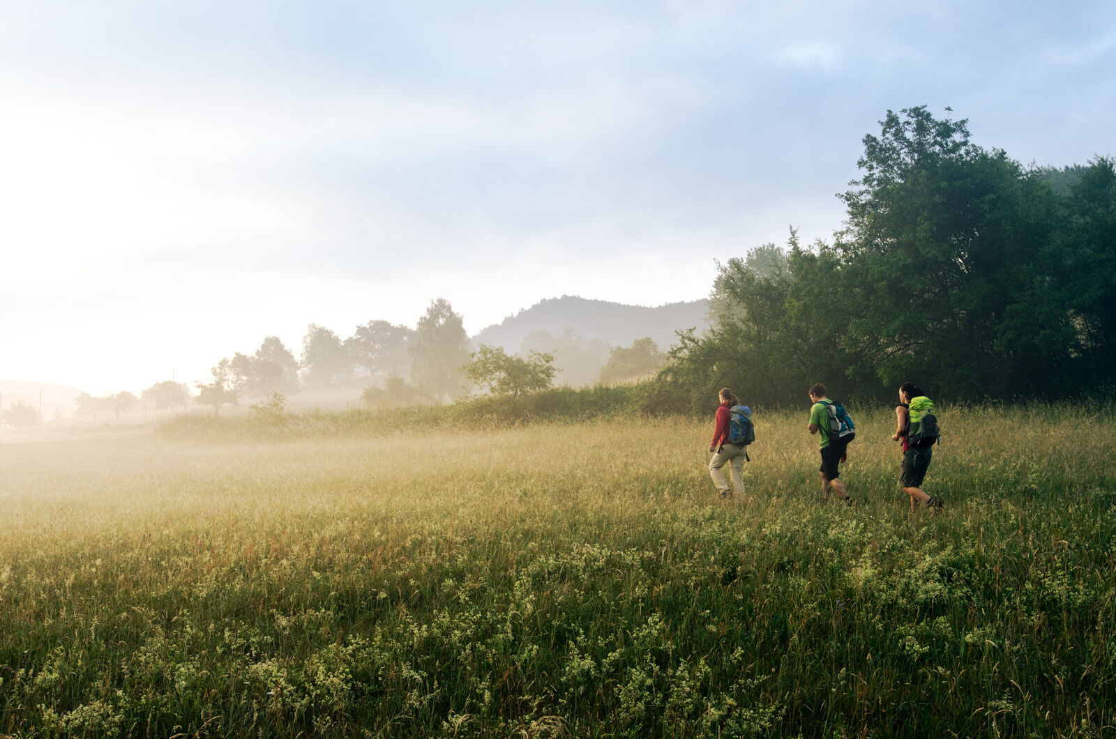
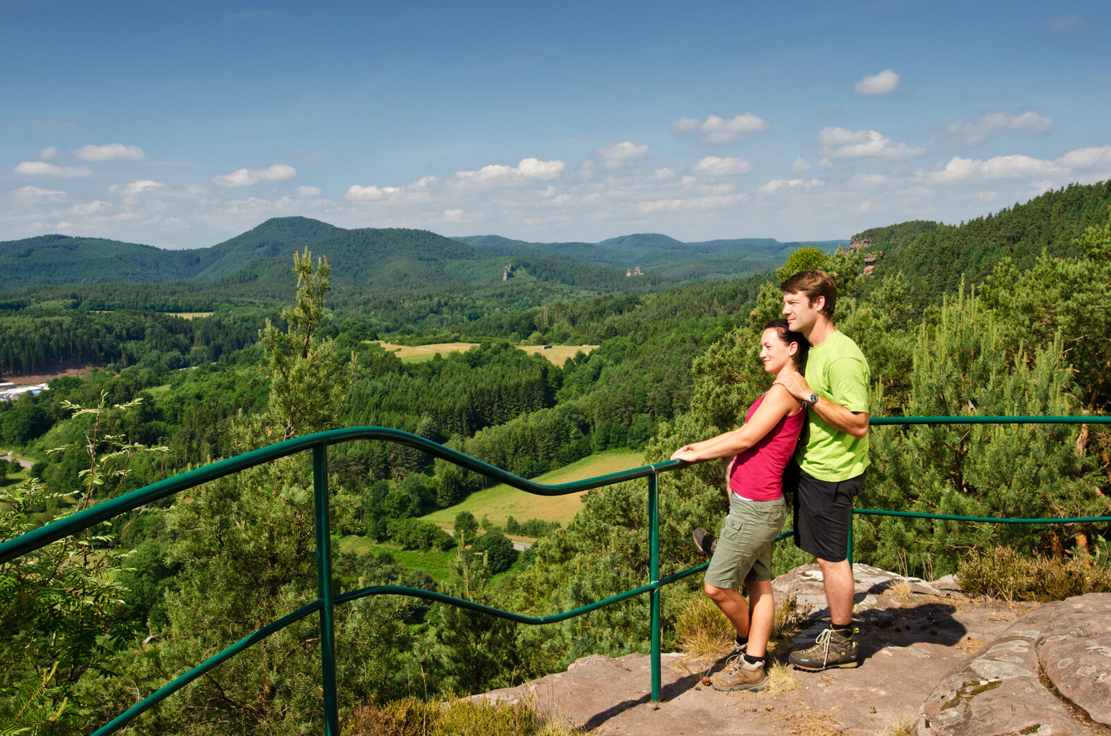
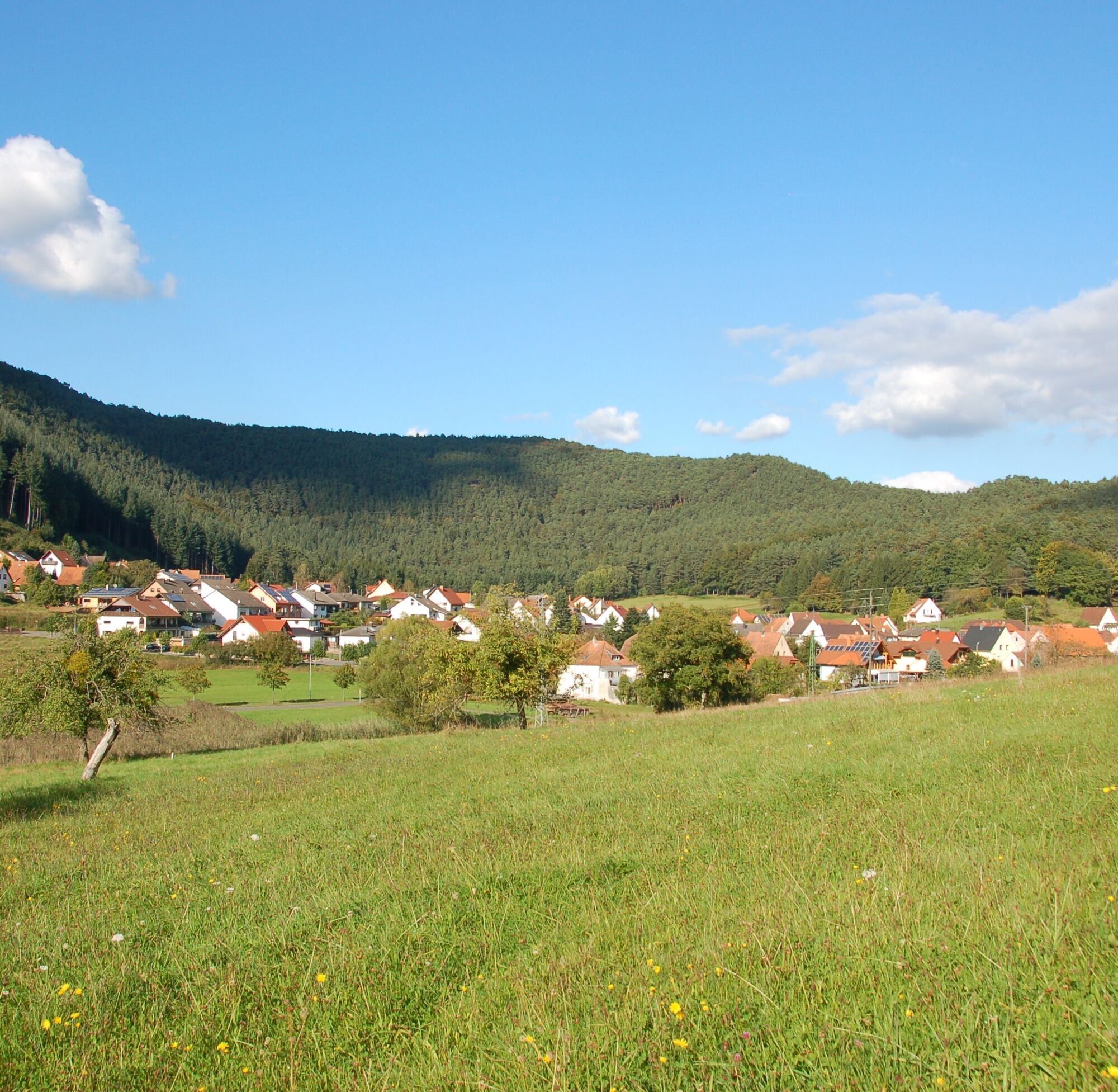
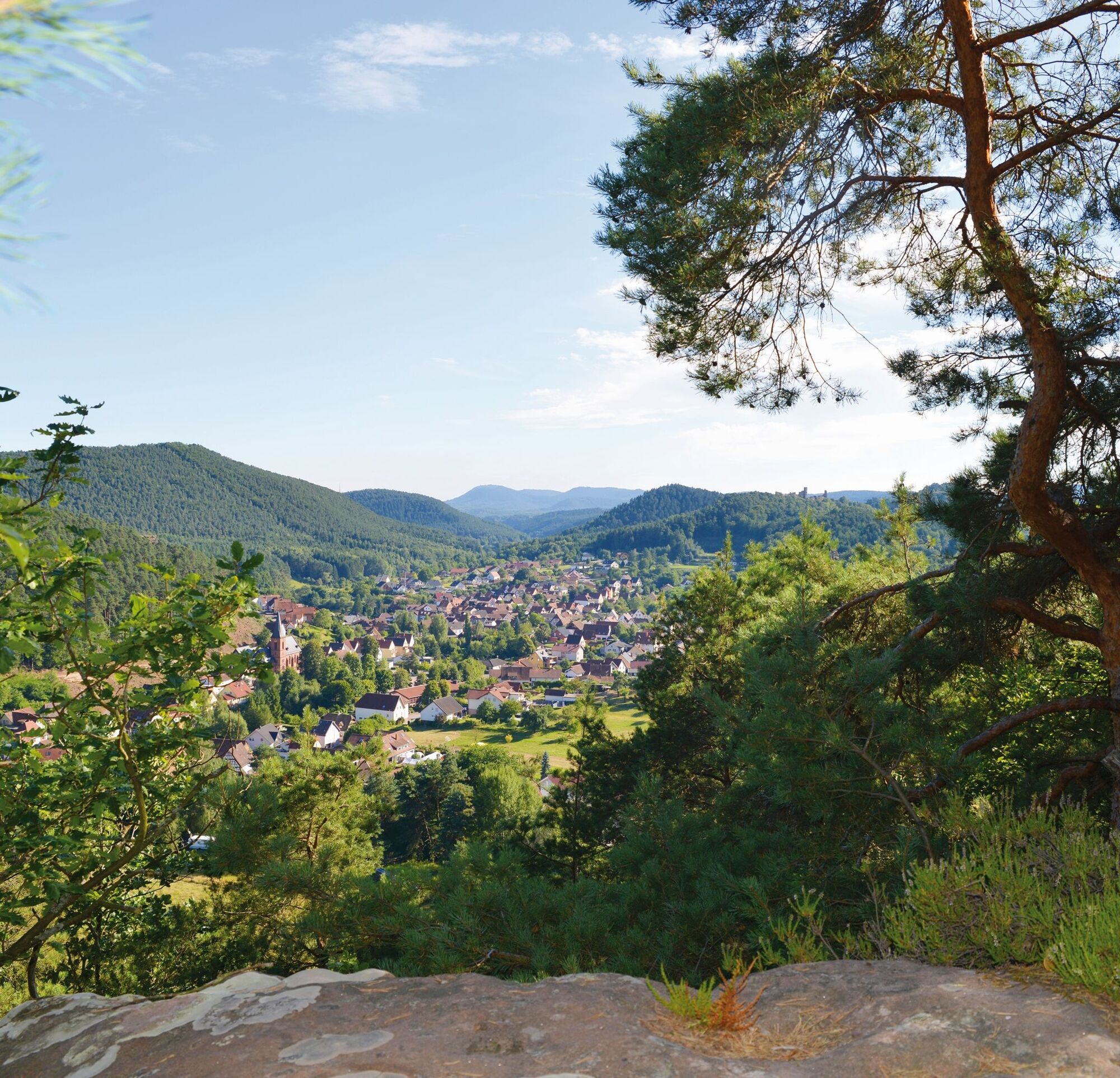
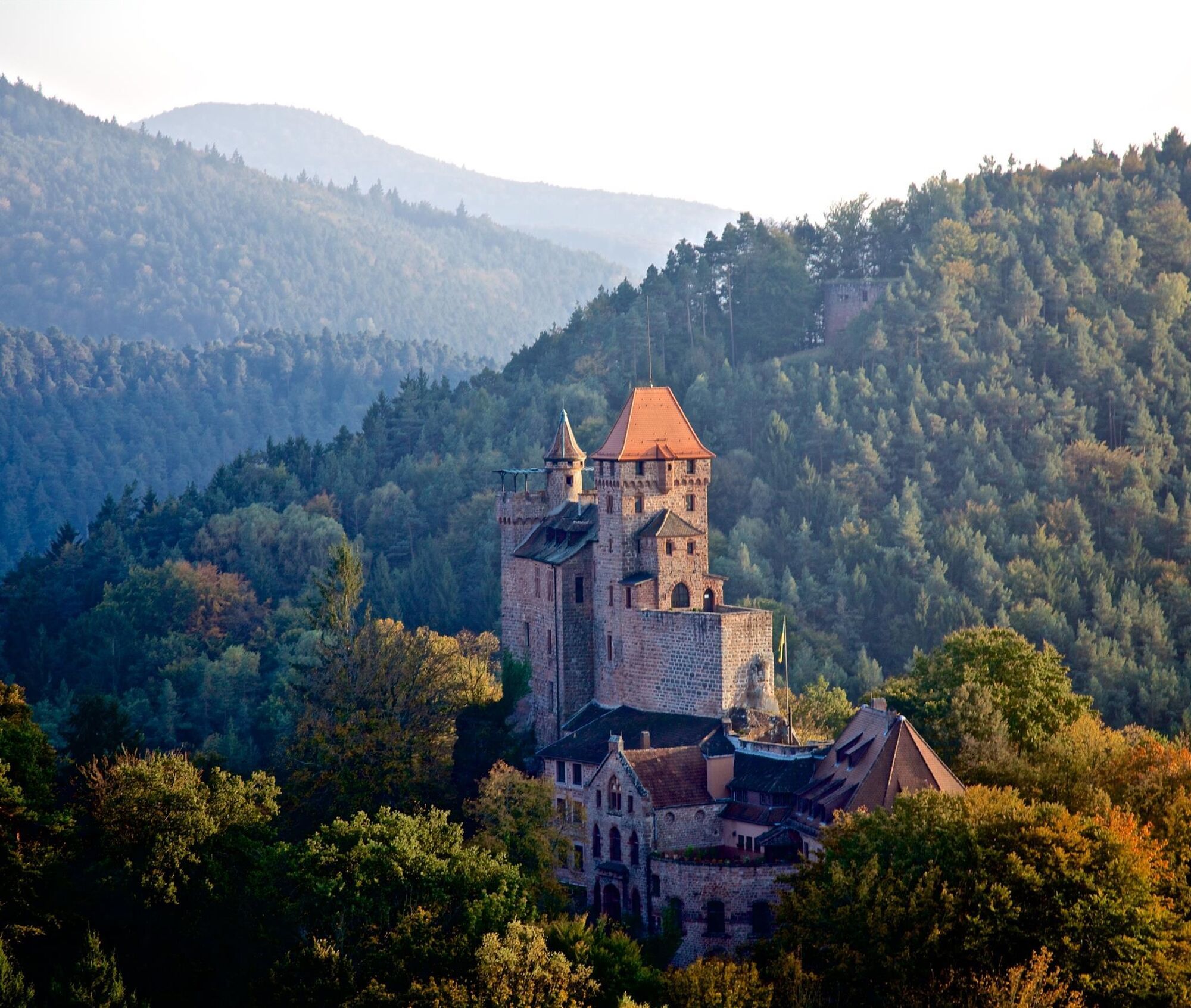

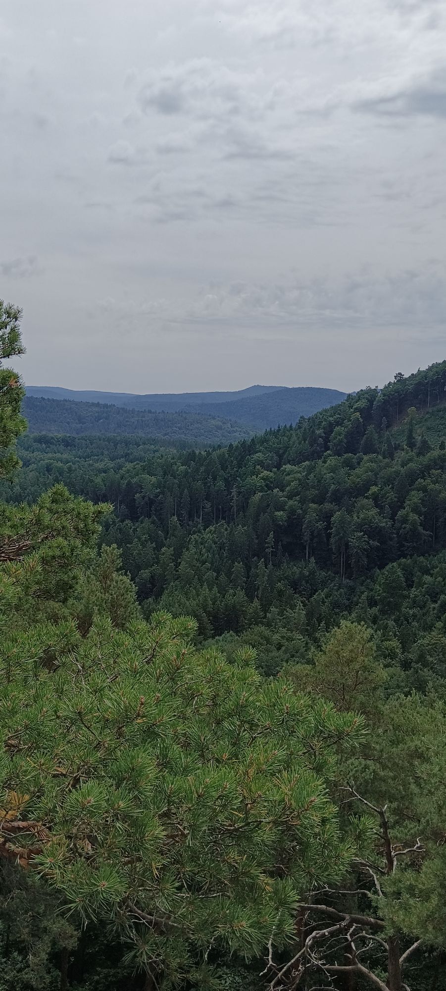
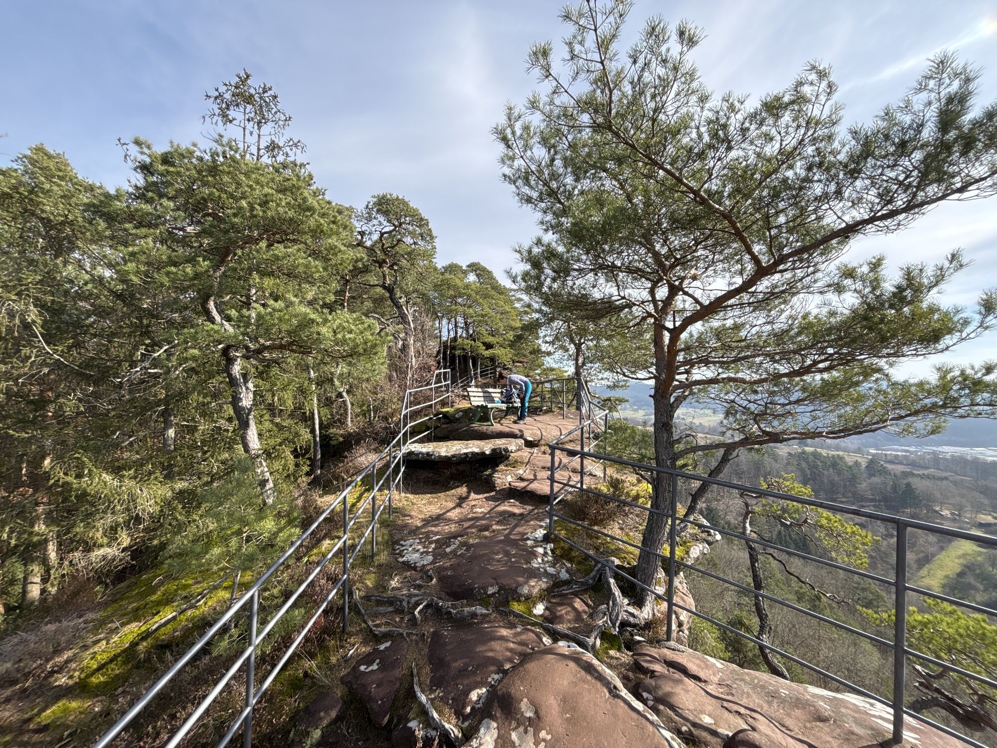
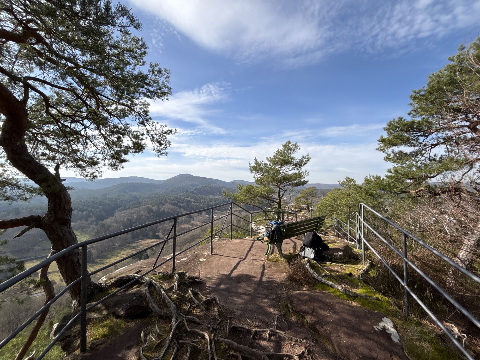
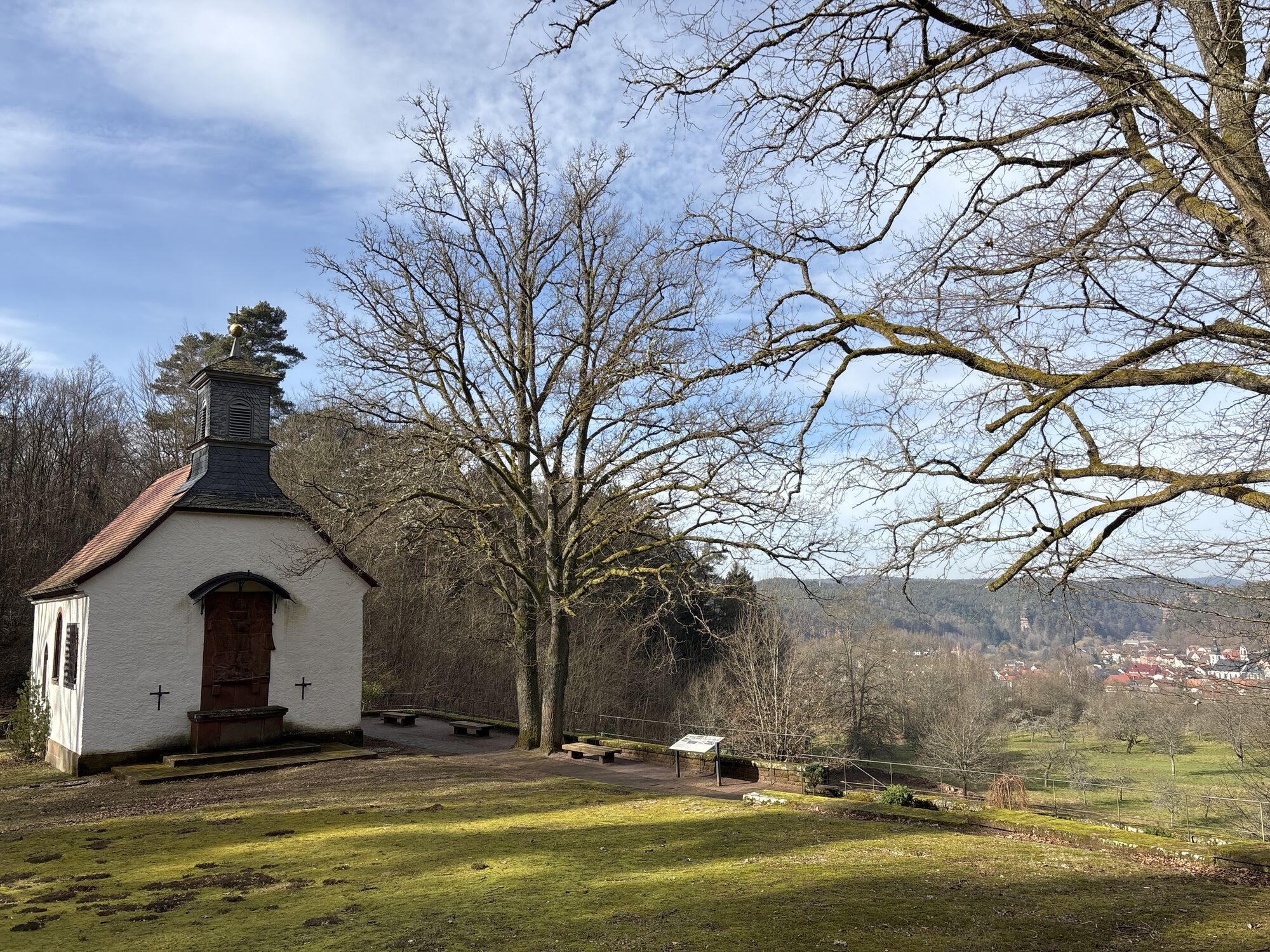
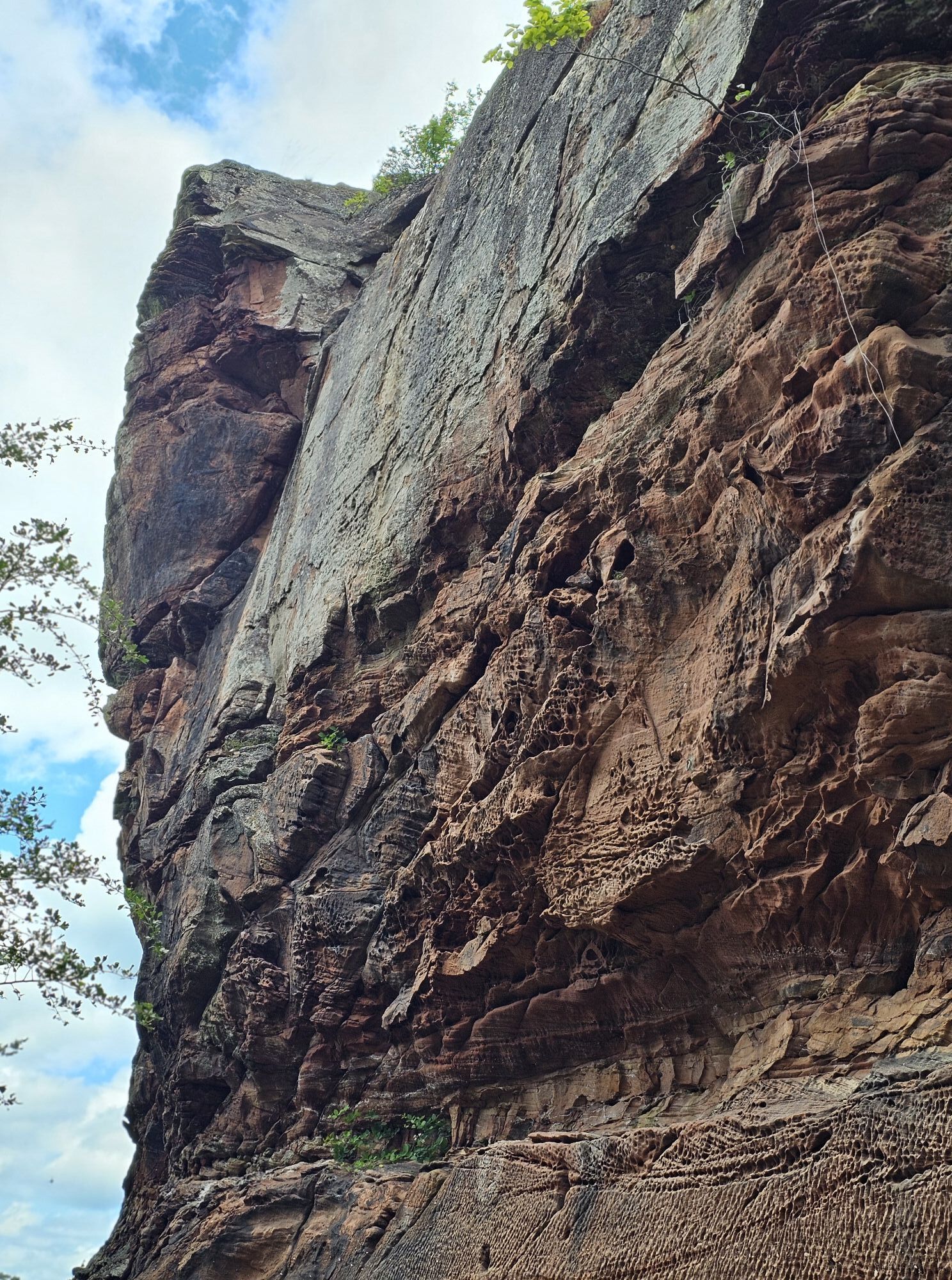
From the center of Dahn, we follow the Pfälzer Waldpfad in a south-easterly direction into Weißenburger Straße and circle the cemetery of honor up to the chapel of St. Michael (1), which lies in a picturesque location directly below the impressive rock massif of the Hochstein. From here, the path leads us through the forest over the heights to the Altdahn-Grafendahn-Tanstein castle group (2). High above Dahn, the three castle ruins sit enthroned next to each other on a rocky outcrop of red sandstone. We then descend to Erfweiler, cross the village and walk through the forest on the other side of the Kahlenberg slope to a viewpoint (3) on the edge of a light-flooded pine forest. After passing another viewpoint at the top of the Kahlenberg, the route leads us down to the outskirts of Schindhard and on through the forest to Busenberg. From there, we hike to the Drachenfels ruins (4), which, like the Dahn castles, stand on a massive boulder of red sandstone. Not far from the ruins, we can stop for a bite to eat in the Drachenfelshütte (PWV) before a final descent takes us down to Erlenbach. The Drachenfelshütte is open all year round (except Christmas and New Year) on Wednesdays from 11.00, Saturdays from 12.00 and on Sundays and public holidays from 9.00.
Da
We recommend the following equipment as standard for our hiking tours:
Sturdy shoes
Clothing suitable for the weather
Sun and rain protection
Sufficient supplies of food and drink, as there are not always refreshment stops or shops available or open.
Even though the paths are very well marked throughout, for safety reasons it is always advisable to carry a suitable hiking map with you so that you can quickly find your way to a safe area in the event of a thunderstorm or an emergency, for example.
Dangerous situations - If an emergency situation arises, help is needed quickly. And even if cell phones can send GPS signals, the classic rescue points are often the fastest. These are located in places that are easily accessible for rescue vehicles. Remember the points with the green signs and a white cross. Return there in an emergency and quote the number on the sign when you make an emergency call. This way, emergency services will know where to find you
A 65 to the Landau-Nord exit, continue on the B 10 to Hinterweidenthal and from there on the B 427 to Dahn
Or: A 65 to the Kandel-Nord exit, continue via Bad Bergzabern on the B 427 to Dahn
By train to Hinterweidenthal or Pirmasens, from there by bus 252 or 250 in the direction of Dahn (Dahn stop)
Timetable information: via the DB travel information service and in the DB Navigator app
Parking lot Am Kreuzstein
Hikers' parking lot Winterbergstraße
Please only park in the designated parking spaces and always keep access routes for emergency vehicles and work paths in the forest and vineyards clear. For overnight stays in campers and caravans, there are designated motorhome parking spaces.

Priljubljeni izleti v okolici
-
4.8
Dahner Felsenpfad
srednjaPohodništvo 13.2 km -
4.9
Napoleon-Steig
srednjaPohodništvo 12.3 km -
4.6
Bruchweiler-Bärenbach - Jüngstberg - Drachenfelshütte - Drachenfels
srednjaPohodništvo 13.6 km -
4.5
Forsthaus Beckenhof - Pirmasens - Waldhaus Starkenbrunnen - Lemberg
srednjaPohodništvo 13.6 km -
4.2
Eschbach-Trifelsblick-Madenburg-Eschbach
svetlobaPohodništvo 9.37 km -
4.8
Lemberg - Salzwoog - Schwamborn-Quelle - Teufelstisch
srednjaPohodništvo 11.9 km -
3.8
Dahn - Lachberg - Vogelsberg
srednjaPohodništvo 18.7 km -
3.7
Eiderbachtal - Hofstätten - 7 Buchen - Annweiler Forsthaus - Eiderbachtal-Parkplatz
srednjaPohodništvo 11.3 km -
5.0
Palatinate Weinsteig Stage 08 Dernbach - Annweiler am Trifels
težkoPohodništvo v daljavo 14.4 km -
4.8
Wasigenstein und Zigeunerfelsen von Obersteinbach
Pohodništvo 10.6 km
Pohodništvo in sledenje


Ne zamudite ponudb in navdiha za naslednje počitnice
Vaš e-poštni naslov je bil dodan na poštni seznam.





