




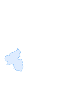

Mosel Cycle Path Section 10: From Löf to Koblenz
Stopnja težavnosti: 1
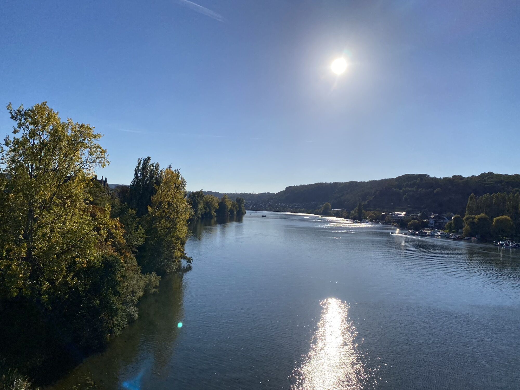
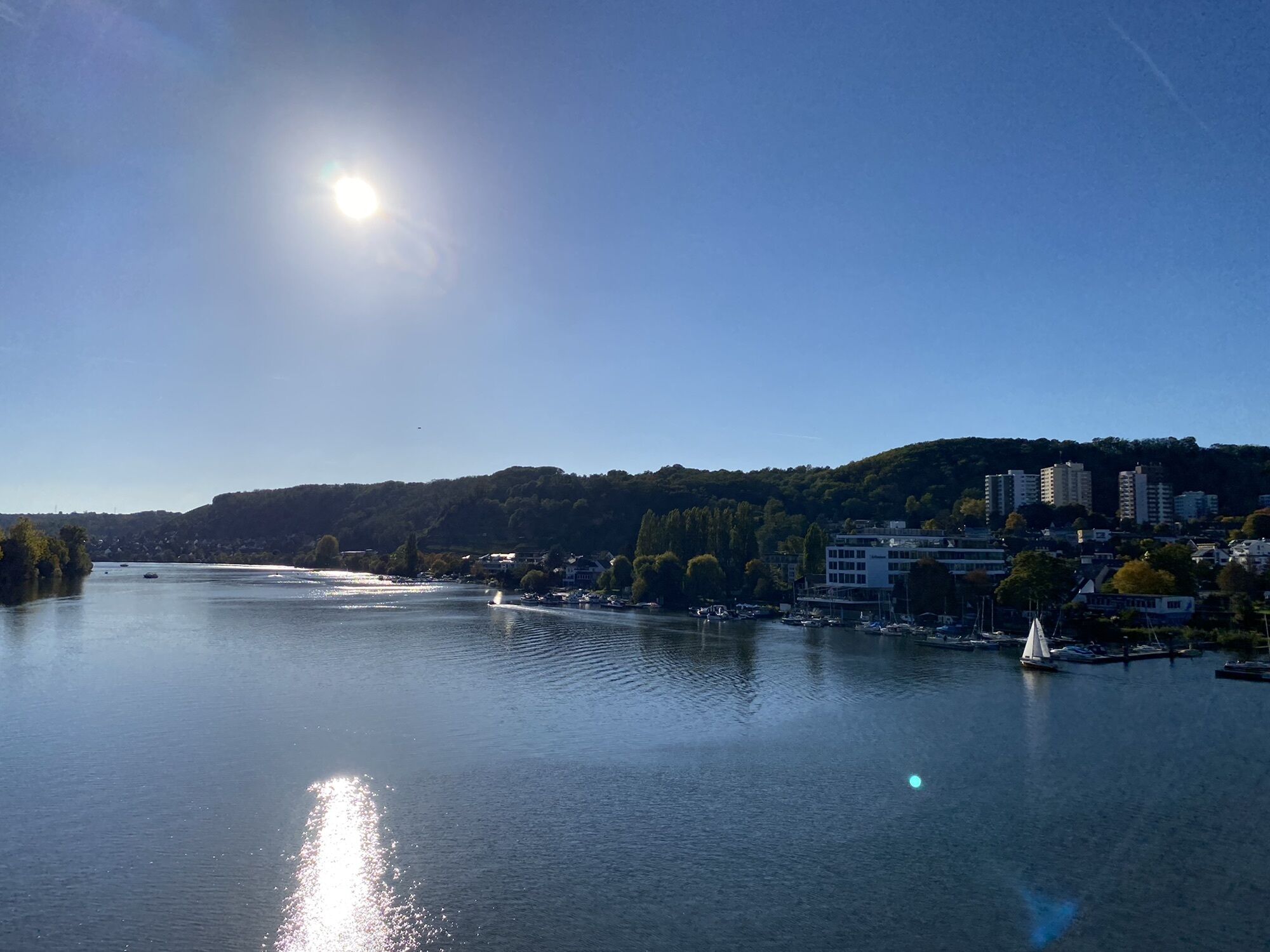
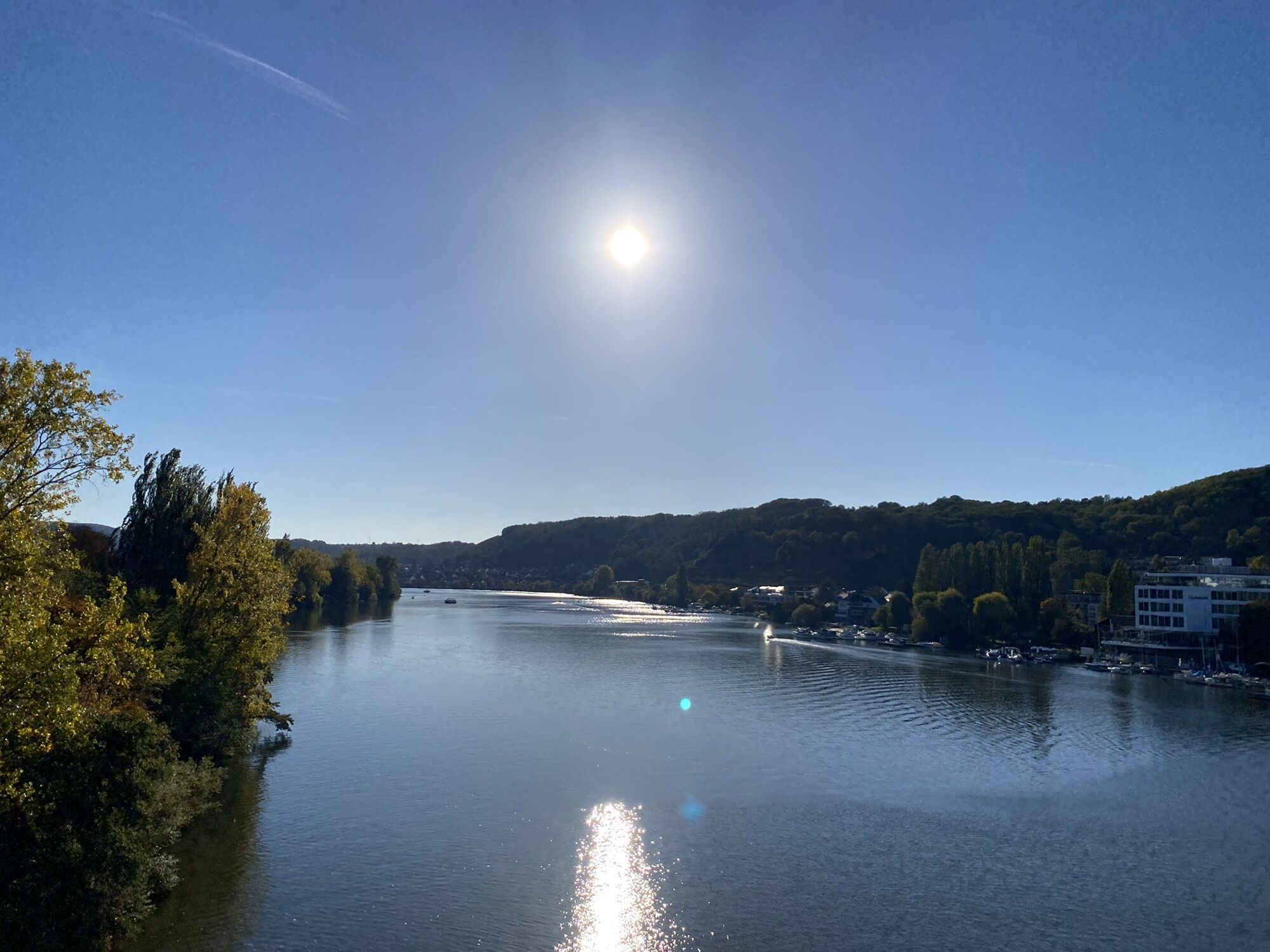
This final stretch leads along the left bank of the Moselle, from Löf to the outskirts of Koblenz; the Deutsches Eck is then reached via the right side of the river. There are still several typical Moselle...
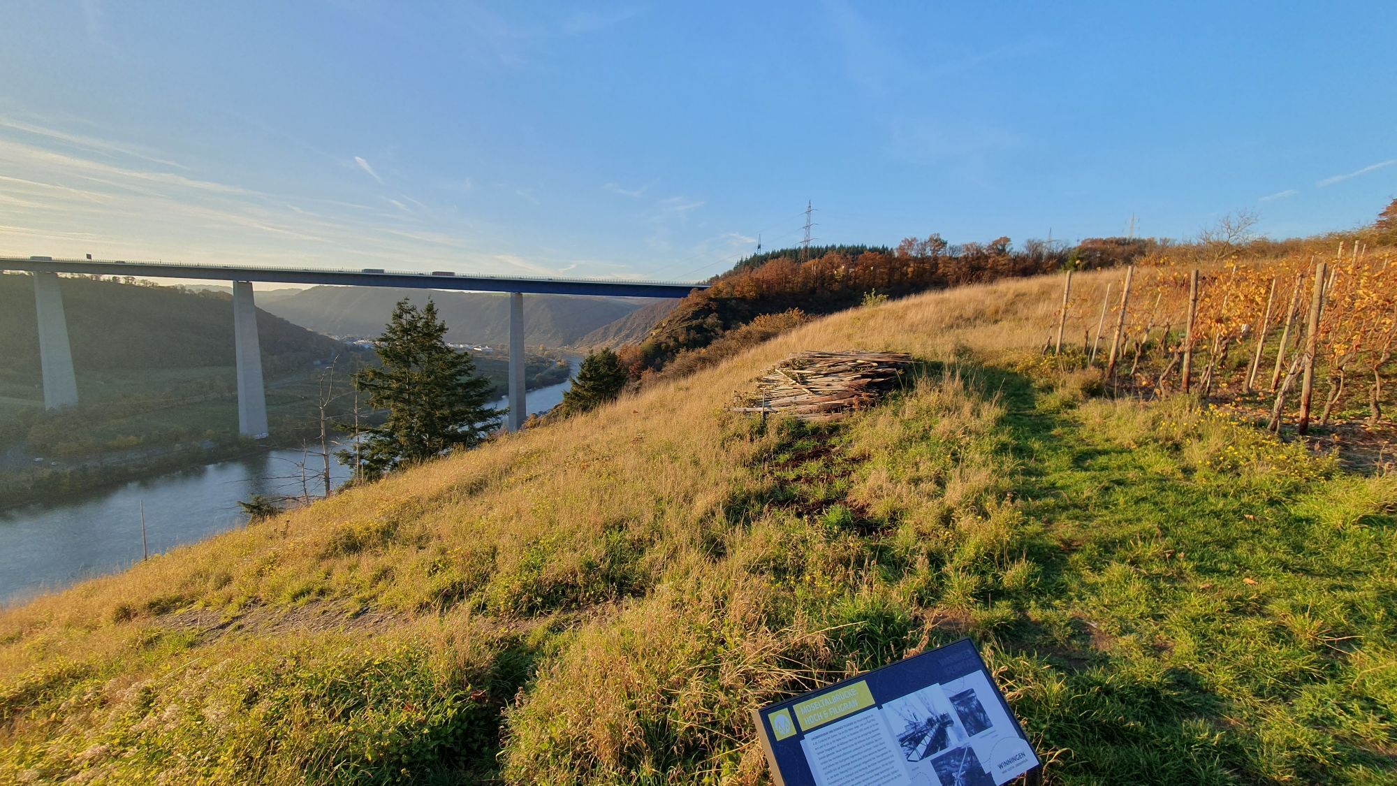
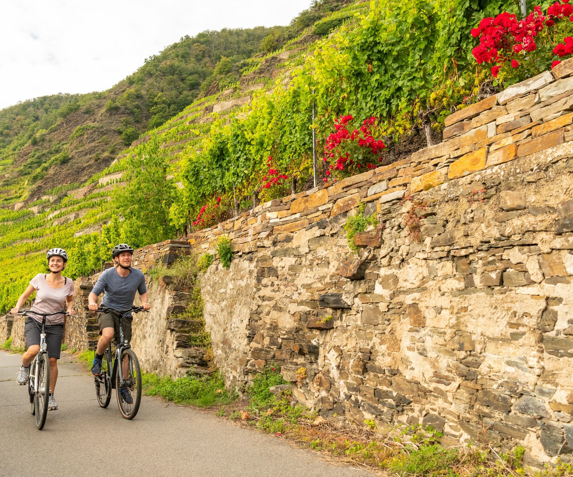
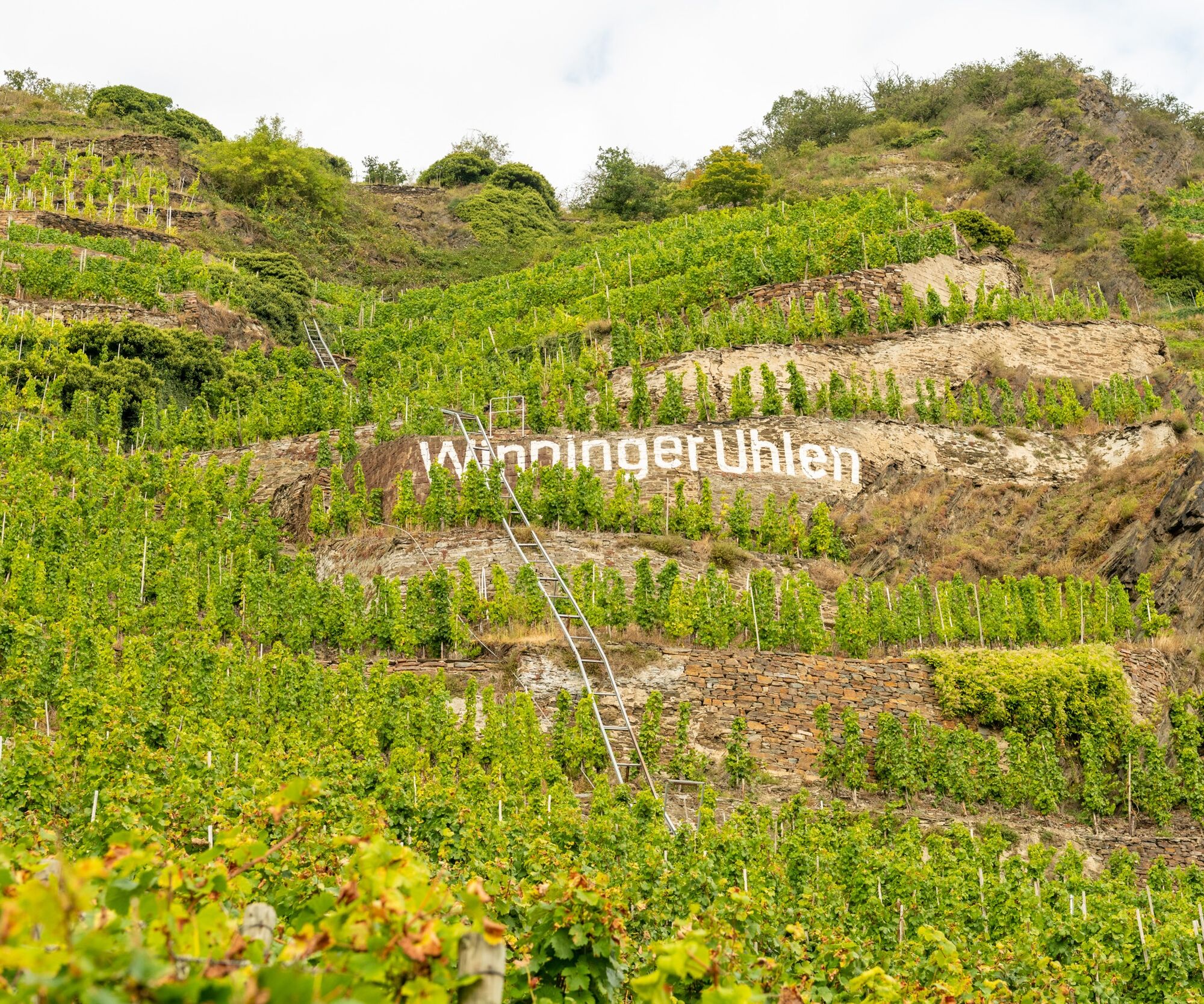
This final stretch leads along the left bank of the Moselle, from Löf to the outskirts of Koblenz; the Deutsches Eck is then reached via the right side of the river. There are still several typical Moselle wine-making villages waiting to be explored along the last kilometres of the Moselle Cycle Route through the Terrassenmosel (Terrace Moselle) region, which owes its name to the steep slopes where vines grow on narrow terraces secured by dry stone walls. In Kobern-Gondorf, for example, there's a medieval market place with fountain featuring a mythical alpine dragon as well as what is thought to be the oldest half-timbered building in Germany, dating from 1320. Pretty traditional half-timbered houses also characterise the wine-making village of Winningen, which is considered one of Germany’s most beautiful villages. Its welcoming wineries are perfect for a stop before continuing on the cycle tour to Koblenz. The Deutsches Eck, where the Moselle flows into the Rhine, signals the end of this last stretch and therefore also the end of the Moselle Cycle Route. A visit to Koblenz, with its inviting winding lanes and little squares as well as numerous sights and attractions, is the perfect way to end the cycle tour. How about a cable car ride to the impressive Ehrenbreitstein fortress or a tour of the old town with its numerous churches, historic town houses and museums?
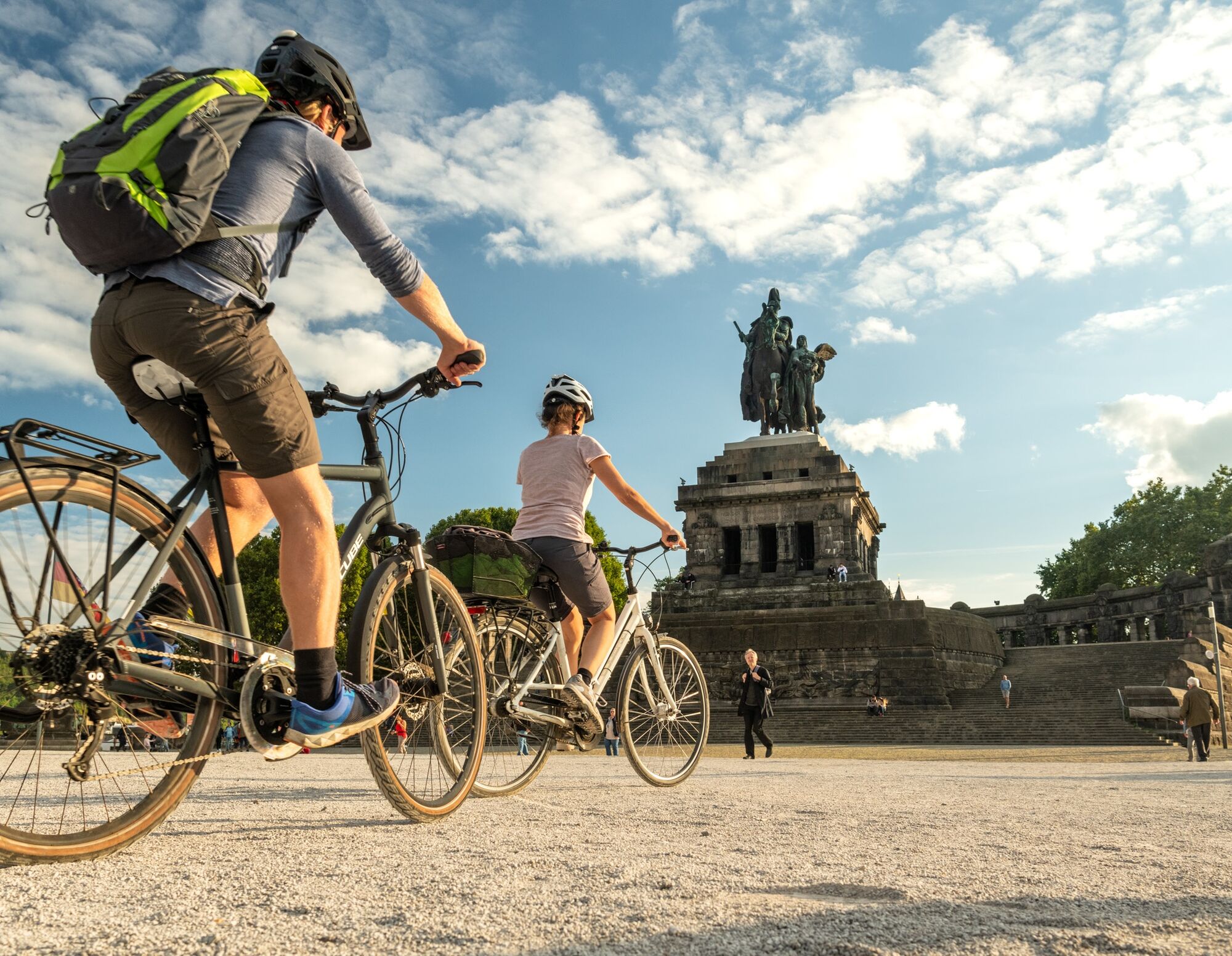
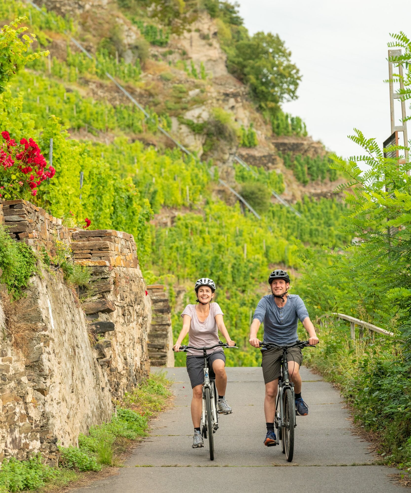
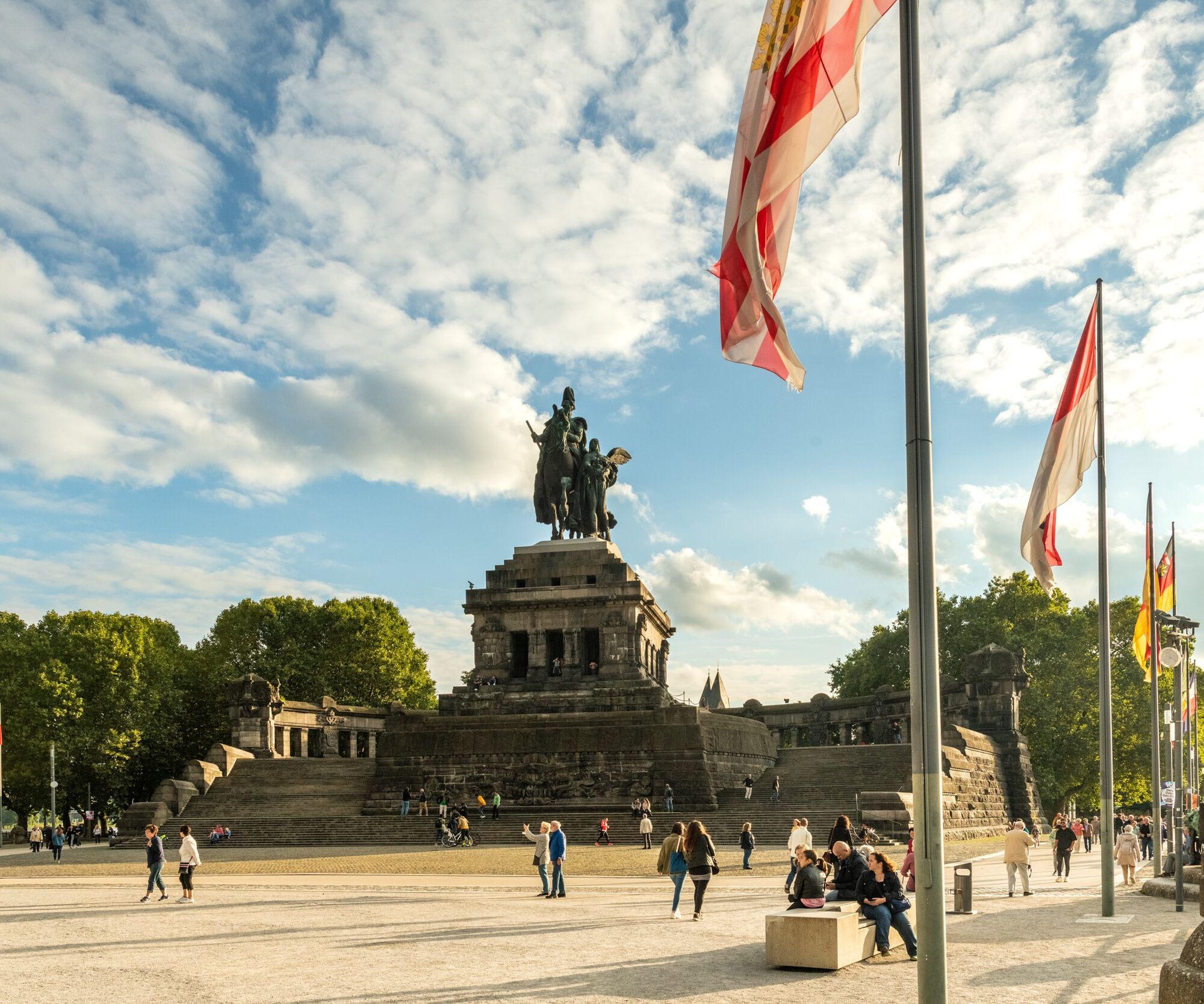


The left cycle lane passes through Löf and continues onwards along the B 416 to Kattenes. After leaving the village, follow the cycle path on the left side of the main road. Be sure to follow the Moselle Cycle Route signs roughly 500 metres after leaving Kattenes! The main route turns left under a railway underpass. From there, the cycle path runs above the railway tracks, through the vineyards to Lehmen. Follow the road through the village. After Lehmen, turn left at the fork in the road, continue through the cut in the rocks and along a left bend before turning right towards Gondorf. Follow the road through the village, past the railway station to Kobern until you reach Kastorbachstraße. Turn left and immediately right again onto Fährstraße, which leads straight ahead to the market place. The route then leads out of the village, through vineyards on the left side of the tracks, under a motorway bridge to Winningen. At the fountain, turn right into Bachstaße and continue until you reach the railway embankment. Keep left here, carefully cross the road and then bear left before the station, continue through the vineyards to Güls. Follow the signs through the centre until you reach the banks of the Moselle. Turn left onto the right-hand cycle lane on the B 416 along the river to the Kurt Schumacher Bridge. Turn right on the cycle path and continue over the bridge, turn left at the end of the bridge through the underpass and take an immediate right turn. Cross the riverside road then turn right back onto the cycle path. Follow the path until you reach the Deutsches Eck.
Remember to take your cycle tour book and your camera.
Destination: Koblenz via the A 48 AS Koblenz-Nord and the B 9 or A 61 AS Koblenz-Waldesch and B 327
Koblenz: Koblenz Hbf main station (last station on the Moselle line), stop “Stadtmitte” (located on the left side of the Rhine)
Koblenz-Güls: Car park on the street “Am Turnerheim”, reachable via access road
1
Kordelweg 1
54470 Bernkastel-Kues
Telephone +49 (0) 6531/97330
A review of your Outdooractive tour experience would be great. This gives us valuable feedback and helps others to plan their own tours. Thanks!
Suggestions, observations or something that isn't quite right? Get in touch with us via email at: radwege@lbm.rlp.de
(www.radwanderland.de - responsible for the infrastructure and route descriptions in the Rhineland Palatinate section).
The Razejunge vineyard picnic area just before Lehmen is a lovely spot for a break.
Pridobite vpogled
Vedno v živo na mestu z več kot 9.500 spletnimi kamerami. bergfex Kot uporabnik Pro si lahko zdaj ogledate ustrezne spletne kamere za številne izlete v aplikaciji izleti iz. Tako si lahko neposredno ogledate trenutne razmere.
Priljubljeni izleti v okolici
-
4.6
Traumschleife Ehrbachklamm
težkoPohodništvo 11.0 km -
4.7
Langhalsweg Osterspai
srednjaPohodništvo 7.50 km -
4.6
Streuobst Wiesen Weg
svetlobaPohodništvo 8.91 km -
4.5
Mittelrheinsteig Boppard #LL2ROM V09
težkoPohodništvo 5.01 km -
4.5
Boppard - Restaurant Cafe Vierseenblick - GedeonsEck
težkoPohodništvo 4.99 km -
4.5
Moselsteig Stage 22: Löf – Kobern-Gondorf
težkoPohodništvo v daljavo 13.7 km -
4.5
Traumschleife Elfenlay
težkoPohodništvo 11.4 km -
5.0
Friedland - Lahnstein - Schutzhütte Ruppertsklamm - Horchheimer Höhe
srednjaPohodništvo 10.0 km -
5.0
Moselsteig Stage 23: Kobern-Gondorf – Winningen
srednjaPohodništvo v daljavo 13.9 km -
5.0
Moselsteig stage 24: Winningen – Koblenz
svetlobaPohodništvo v daljavo 15.2 km

Pohodništvo in sledenje


Ne zamudite ponudb in navdiha za naslednje počitnice
Vaš e-poštni naslov je bil dodan na poštni seznam.





